Trails near Marostica
84 hikes starting within 15 km, nearest first.
Nearest first, page 2 of 2
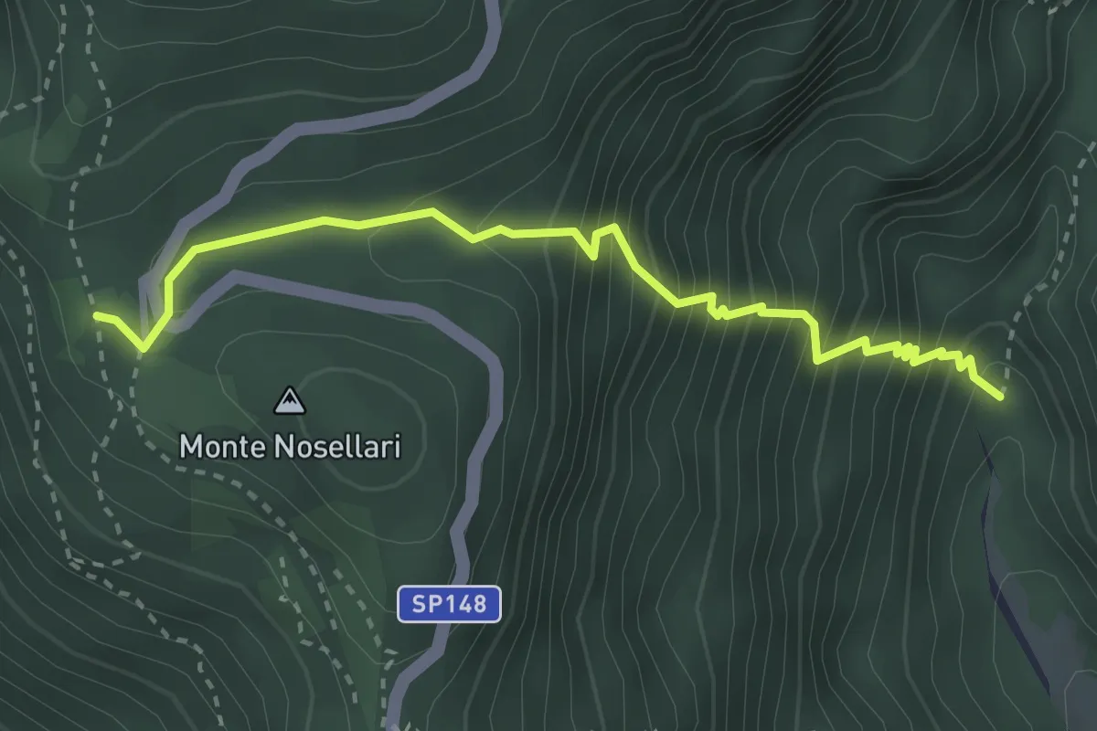
Medium · Trail
Valle Santa Felicita-da sent. 180 - palestra roccia – Pian dei Nosellari- inn. sent. 950
3.2 km · ↑ 470 m · 1 h 46 min · 11 km away
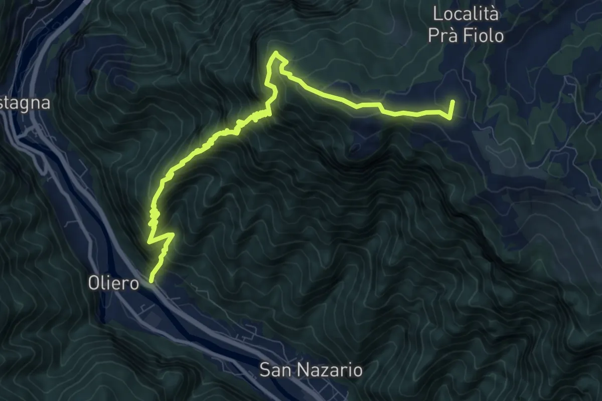
Demanding · Summit
Moschina
11.5 km · ↑ 1326 m · 5 h 35 min · 11 km away
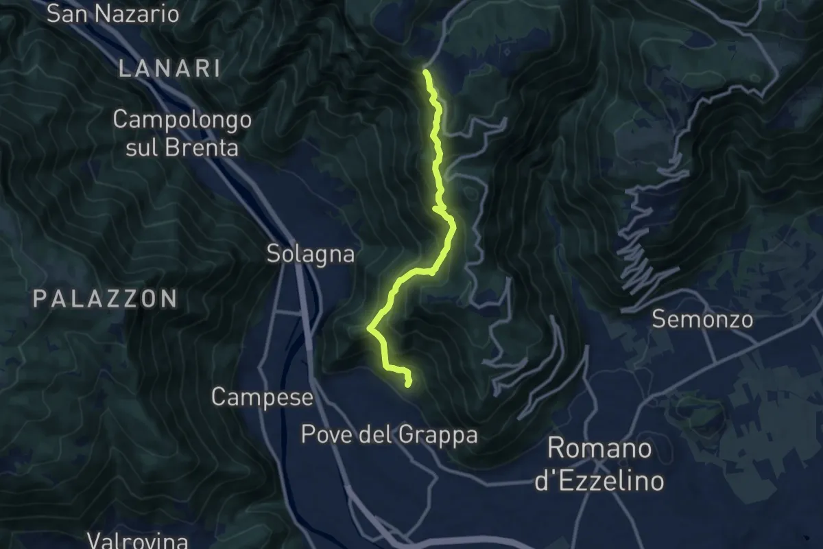
Demanding · Trail
Pove del Grappa – Campo Solagna
8.9 km · ↑ 830 m · 3 h 54 min · 12 km away
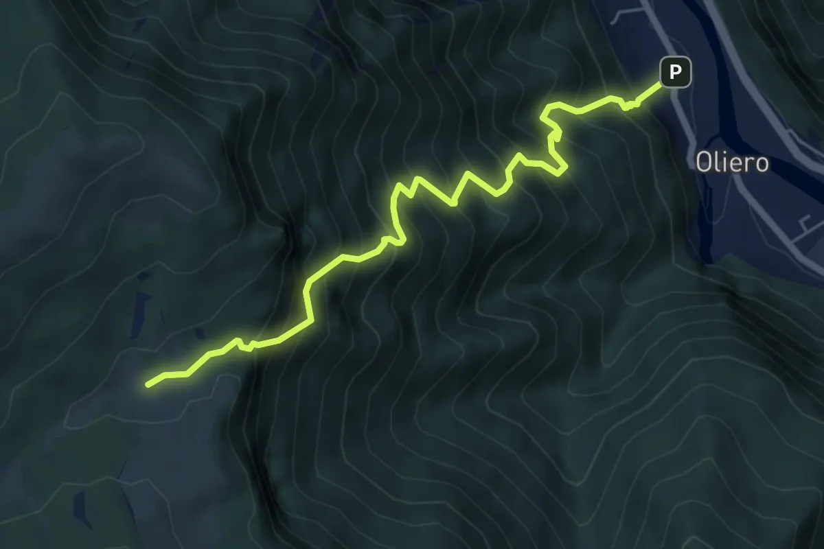
Demanding · Trail
Oliero di sopra – Le Pozzette
6.0 km · ↑ 983 m · 3 h 32 min · 12 km away
Medium · Summit
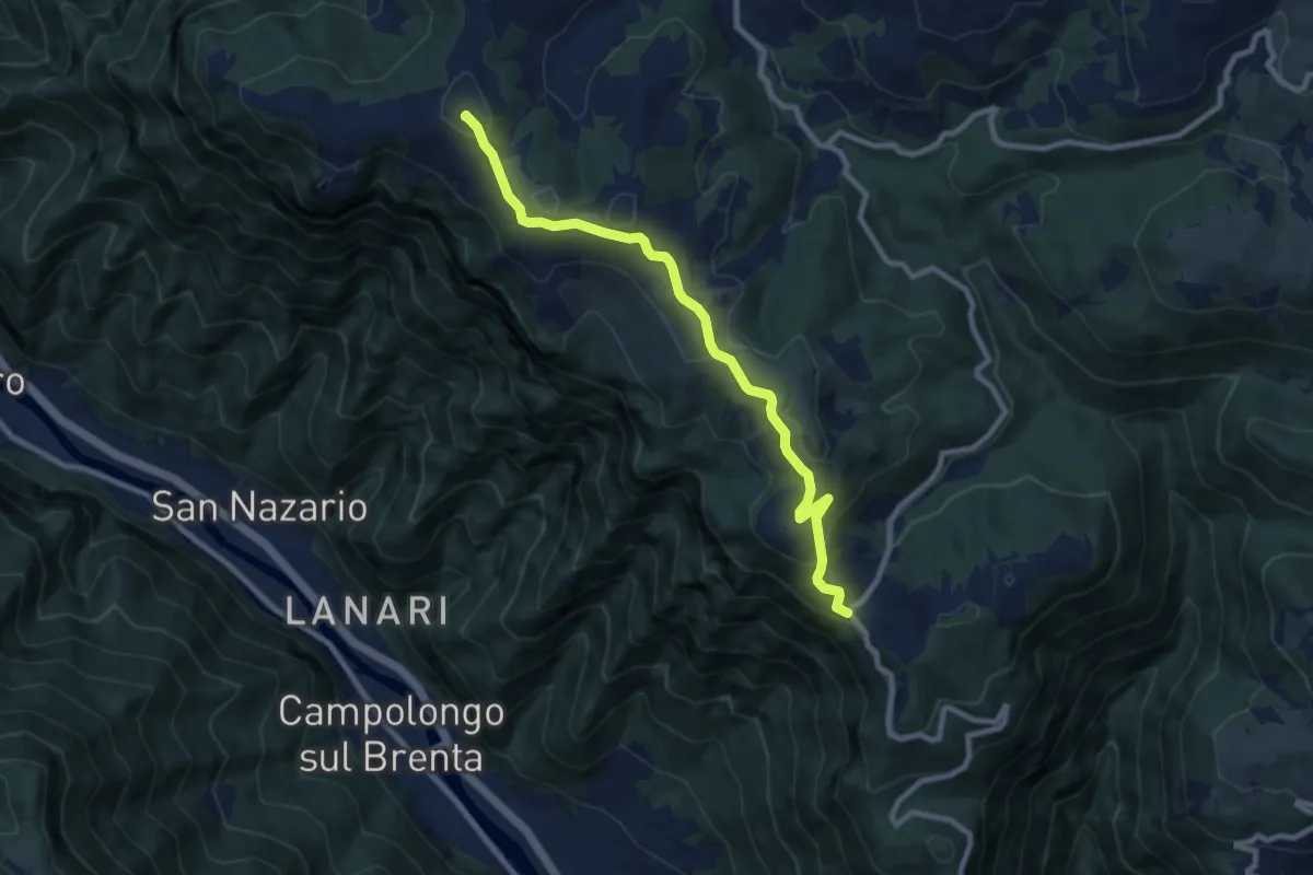
Campo Solagna – Finestron - inn. sent. 929
8.9 km · ↑ 333 m · 2 h 49 min · 12 km away
Demanding · Summit
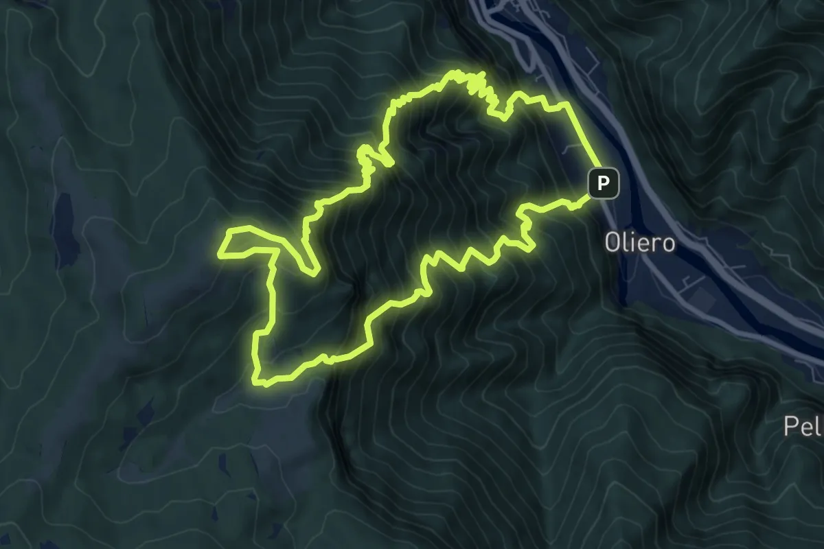
Trodoi Tralis 2
9.2 km · ↑ 1238 m · 4 h 59 min · 12 km away
Medium · Summit
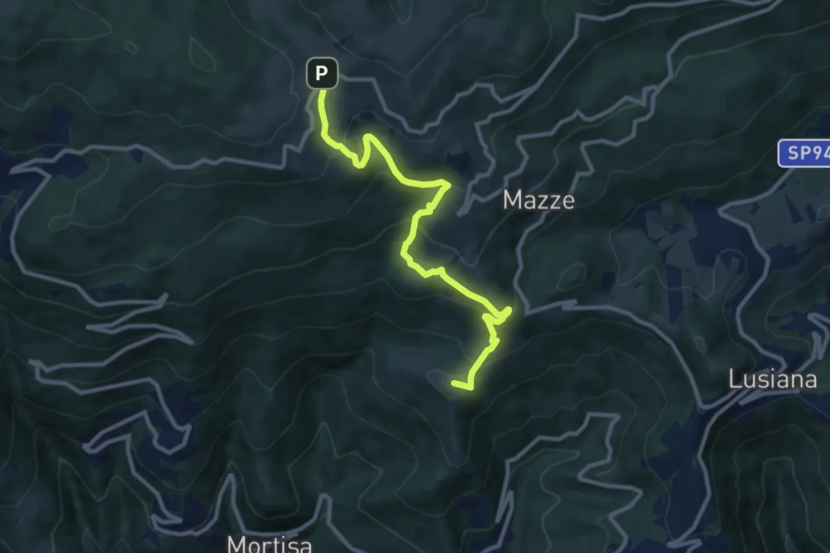
Contrà Boschetti (Lugo di Vicenza) – Rifugio Monte Corno
8.9 km · ↑ 638 m · 3 h 30 min · 12 km away
Medium · Summit
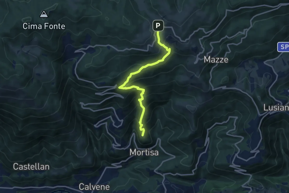
Lore di Lugo – Rifugio Monte Corno
10.1 km · ↑ 731 m · 3 h 58 min · 12 km away
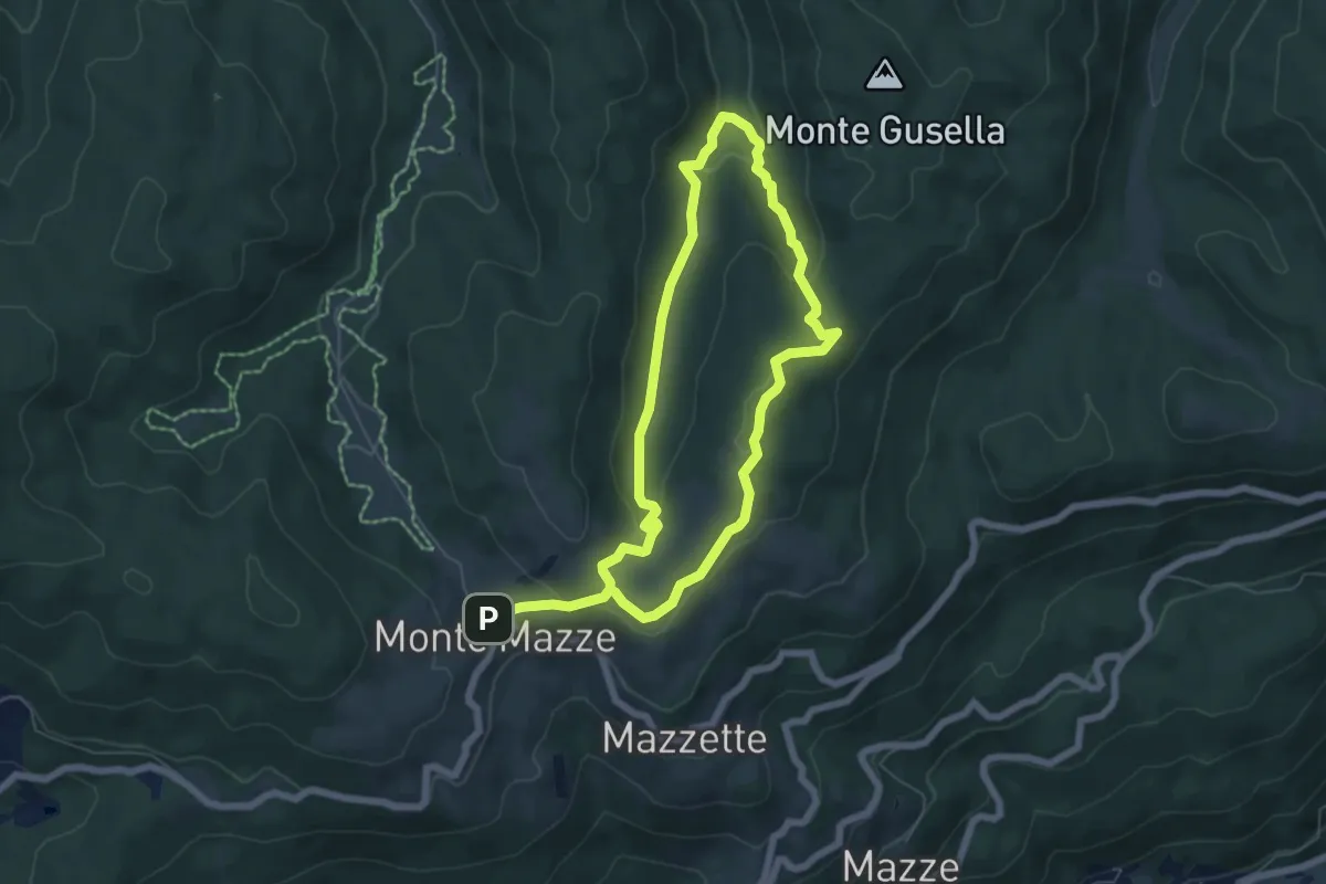
Medium · Trail
Poilus Anello B
11.1 km · ↑ 429 m · 3 h 33 min · 12 km away
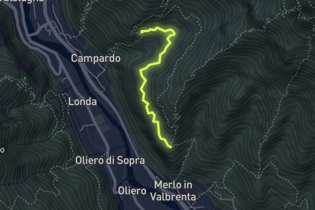
Medium · Trail
Col della Torta
3.1 km · ↑ 337 m · 1 h 27 min · 12 km away
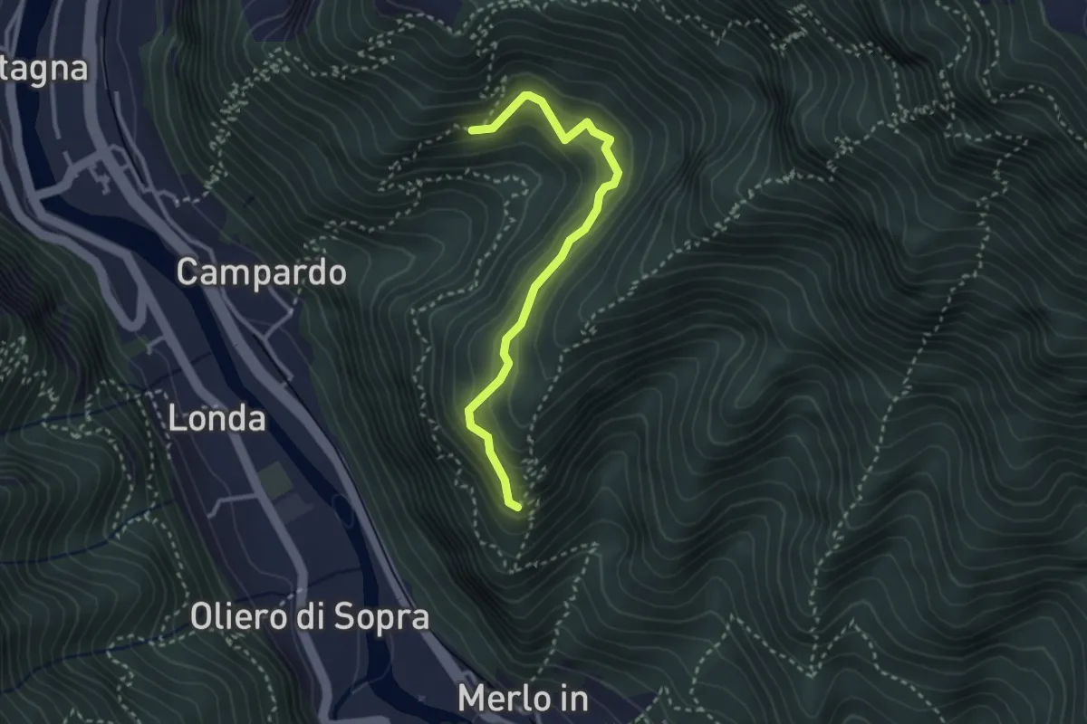
Medium · Trail
Sentiero Praventore
2.9 km · ↑ 299 m · 1 h 20 min · 12 km away
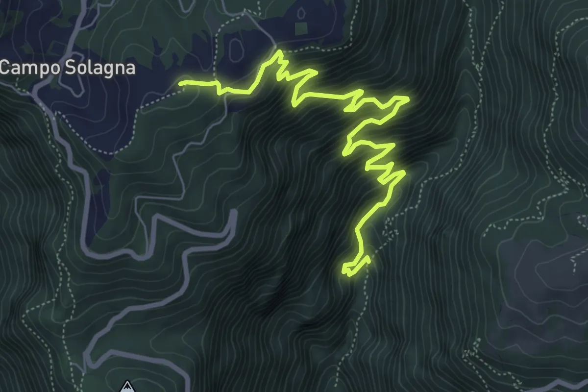
Medium · Summit
Valle Santa Felicita-da sent. 180 - dopo pal. roccia – Campo Solagna
7.6 km · ↑ 740 m · 3 h 24 min · 12 km away
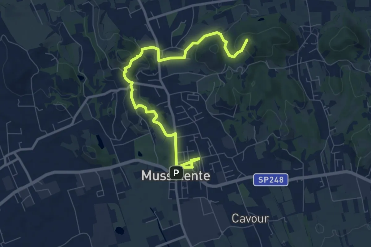
Medium · Summit
Le Volpere
8.9 km · ↑ 231 m · 2 h 36 min · 12 km away
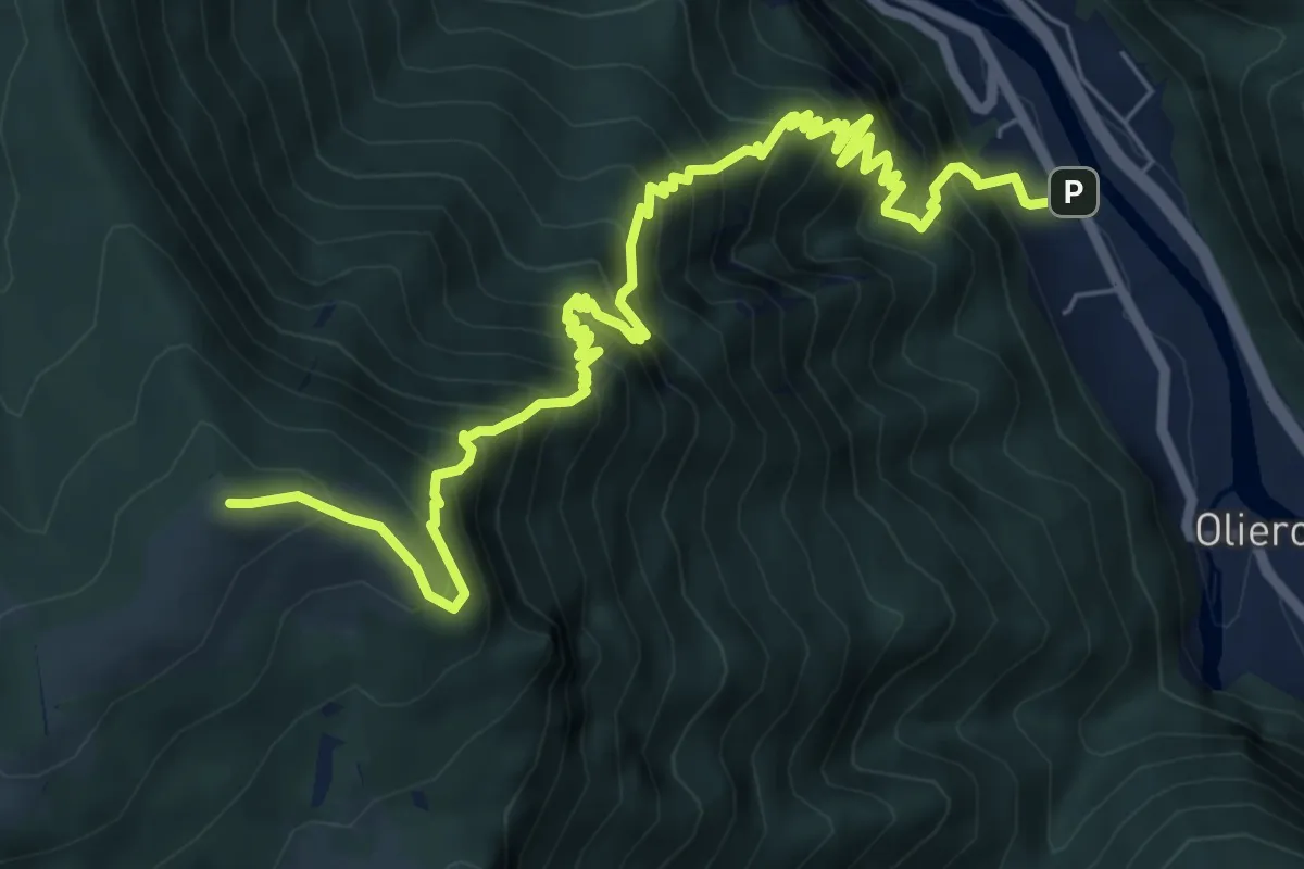
Demanding · Summit
Londa – Casara Col d'Astiago - inn. sent. 800
9.0 km · ↑ 1320 m · 4 h 59 min · 12 km away
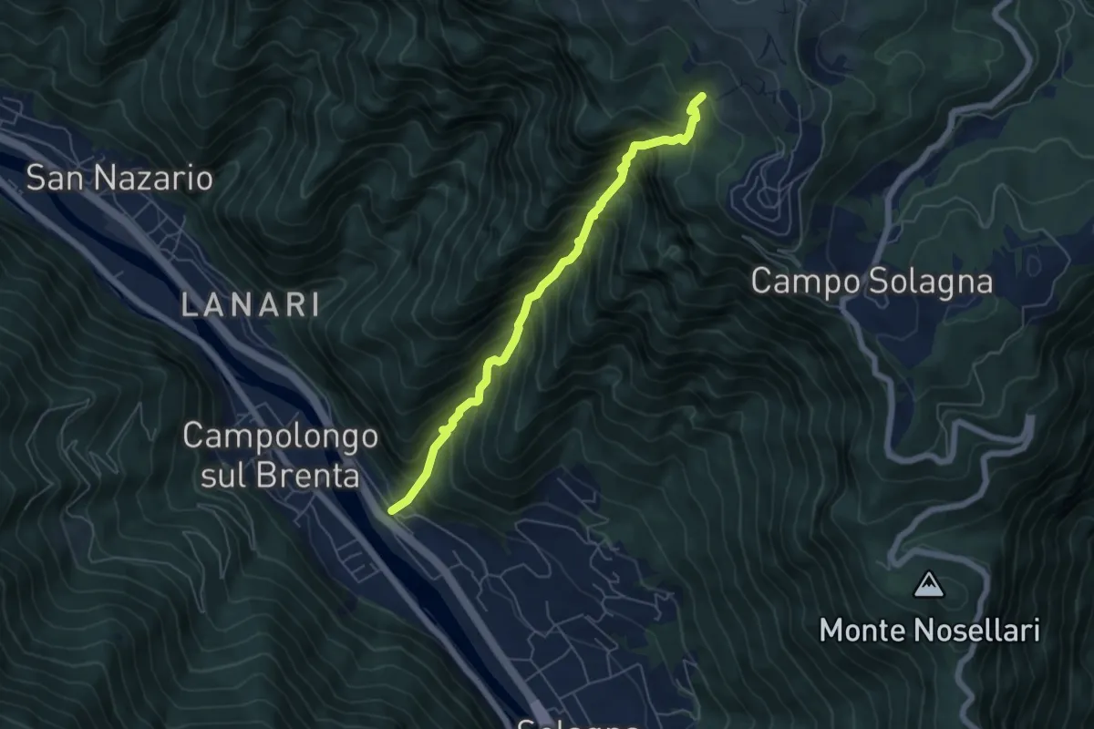
Demanding · Trail
Val dei Cavallini
5.5 km · ↑ 951 m · 3 h 22 min · 12 km away
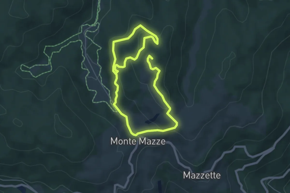
Medium · Summit
Poilus Anello A
8.8 km · ↑ 330 m · 2 h 47 min · 12 km away
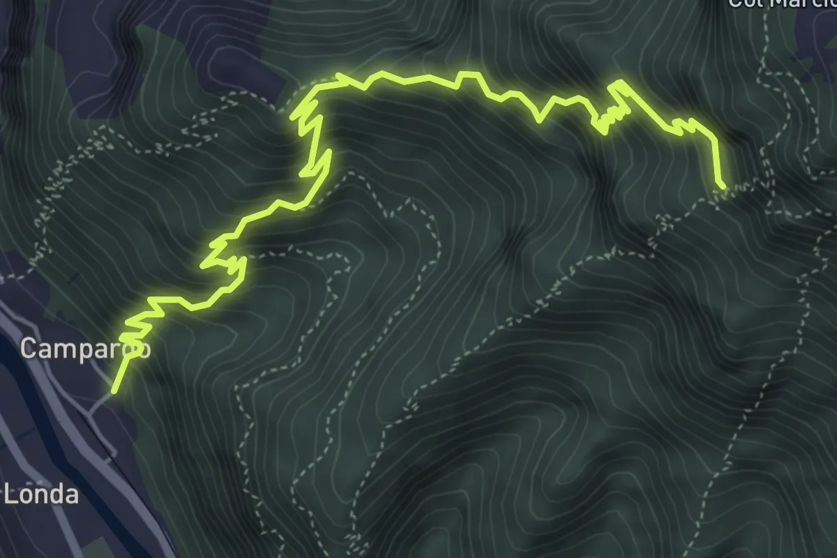
Demanding · Trail
Laste Rosse
7.2 km · ↑ 1109 m · 4 h 6 min · 13 km away
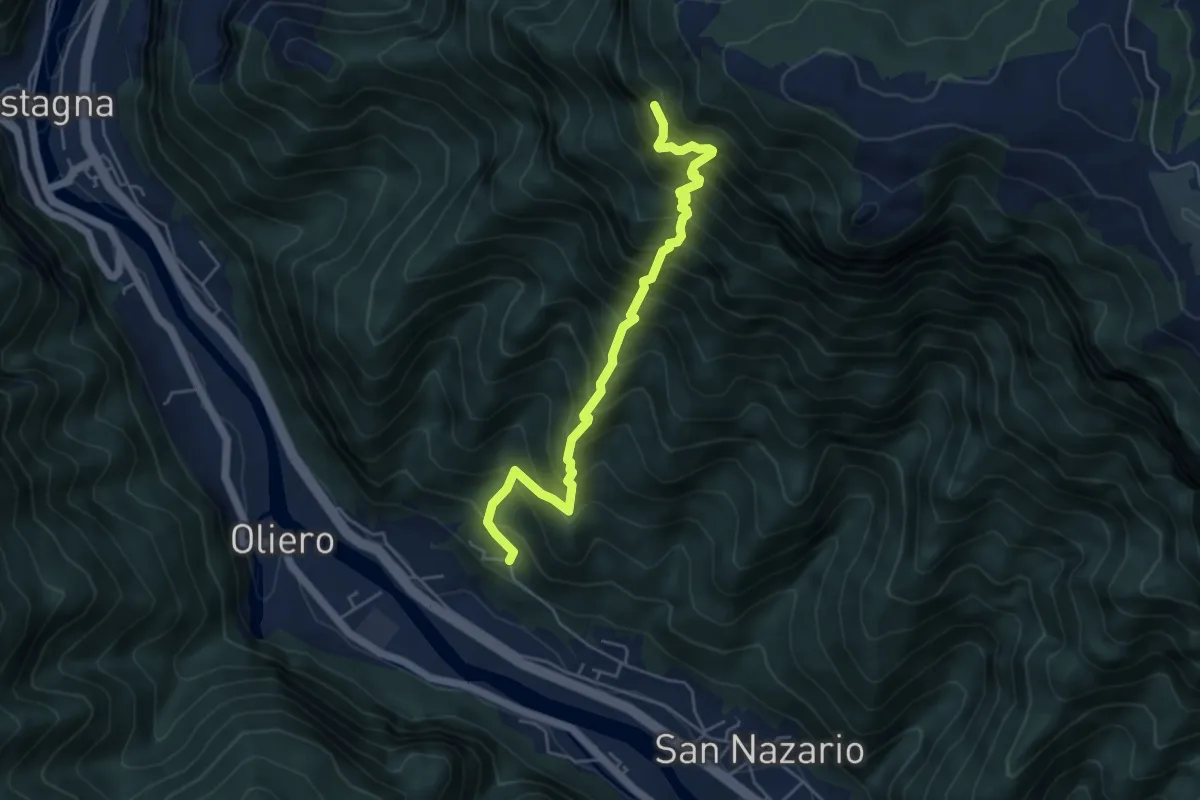
Demanding · Trail
Val Munare
5.1 km · ↑ 966 m · 3 h 18 min · 13 km away
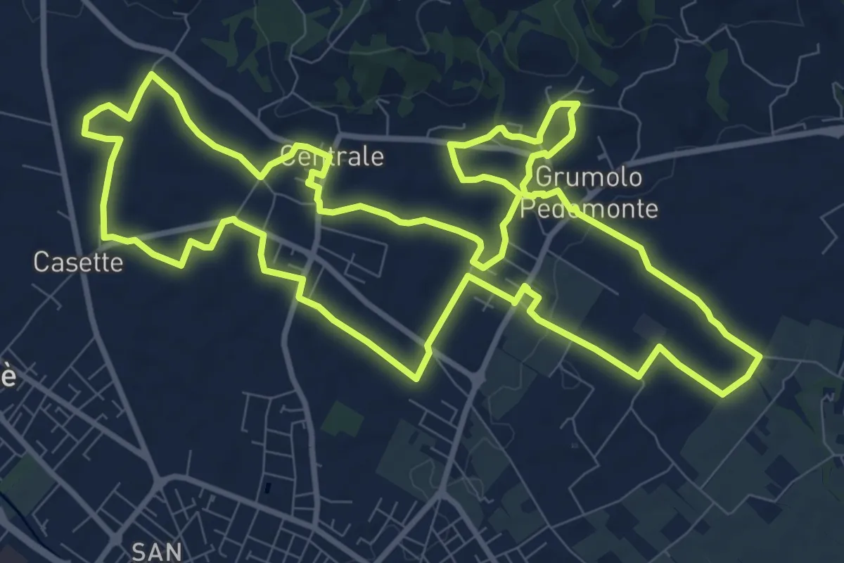
Medium · Trail
Anello Blu Zugliano
11.6 km · ↑ 95 m · 3 h 7 min · 13 km away
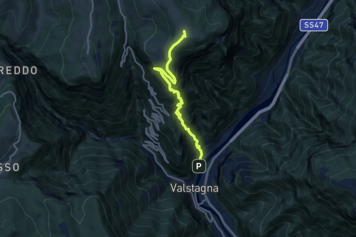
Demanding · Summit
Mori (Valstagna) - Monte Cornone - Sasso Rosso
8.5 km · ↑ 1324 m · 4 h 53 min · 13 km away
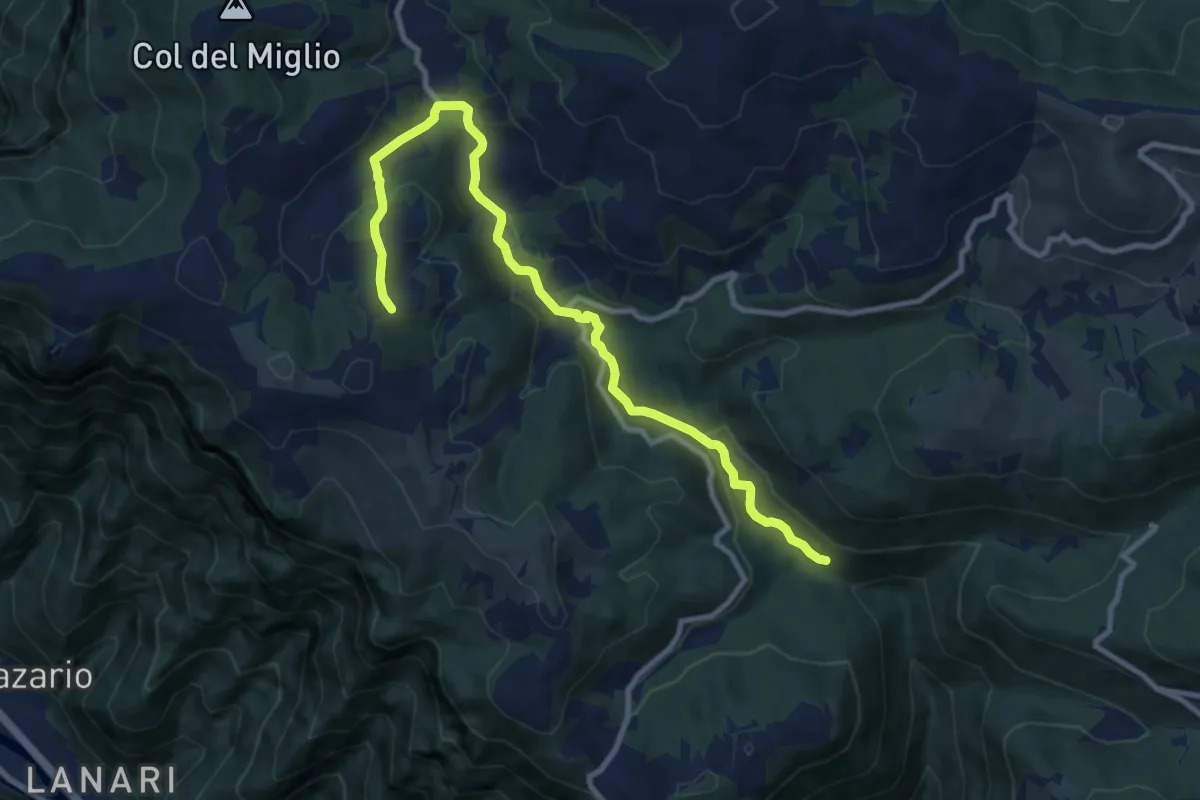
Medium · Trail
Cason Pianaro - da sent. 970 – San Giovanni sul Grappa
10.8 km · ↑ 337 m · 3 h 16 min · 13 km away
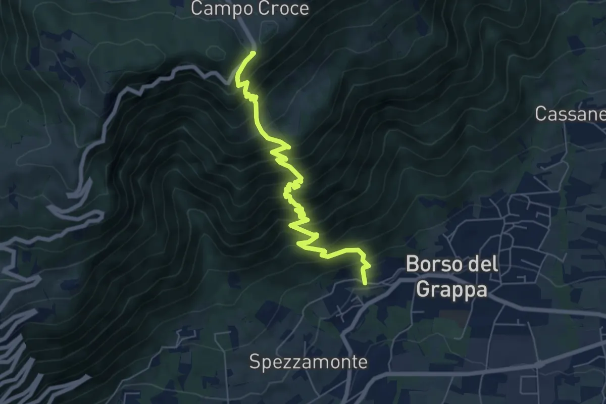
Demanding · Trail
località Busa – località Campocroce
6.4 km · ↑ 824 m · 3 h 18 min · 13 km away
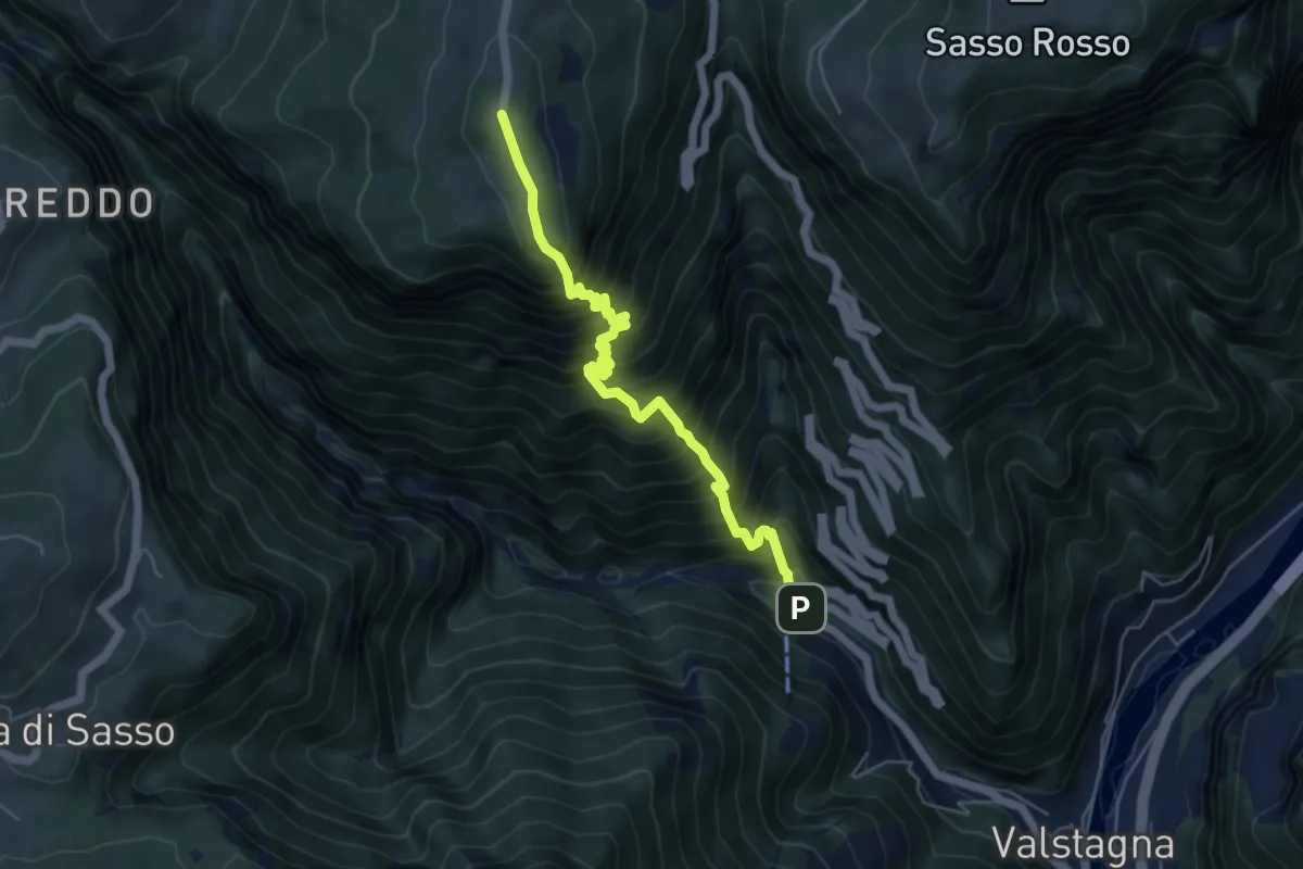
Expert · Trail
Pierino della Zuanna
5.7 km · ↑ 1032 m · 3 h 34 min · 14 km away
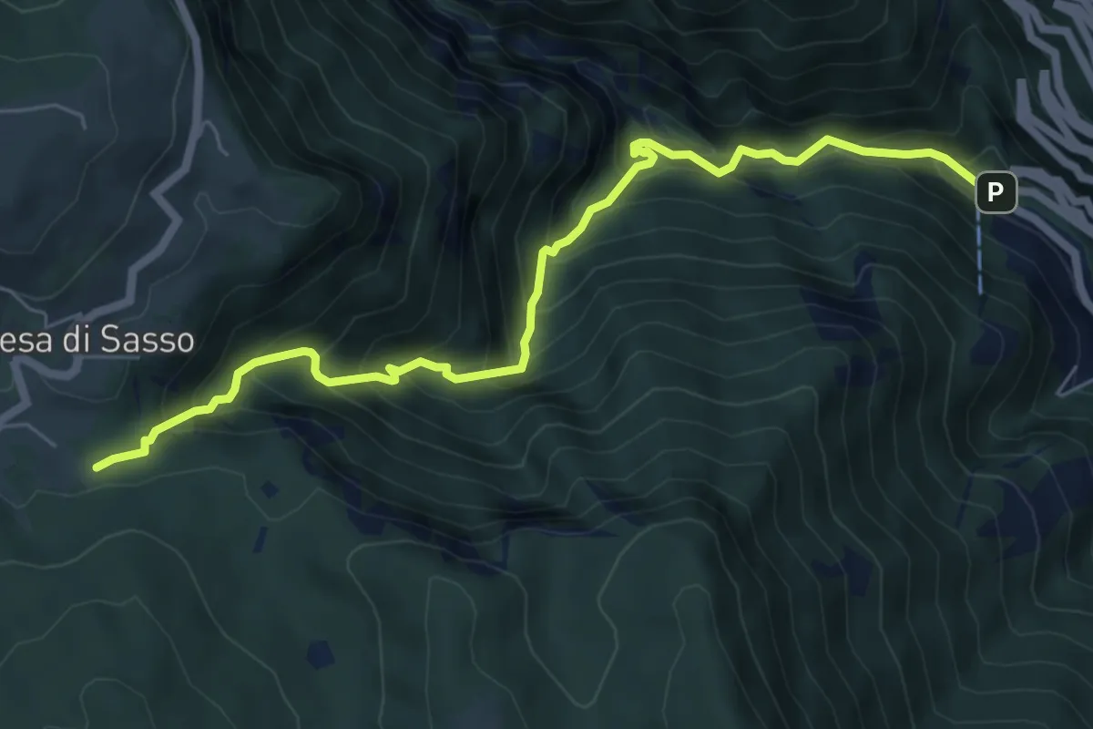
Demanding · Trail
Calà del Sasso
6.7 km · ↑ 839 m · 3 h 24 min · 14 km away
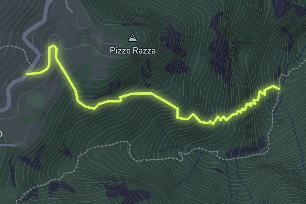
Medium · Trail
Calà del Sasso - Mori di Chiesa di Sasso
3.2 km · ↑ 497 m · 1 h 49 min · 14 km away
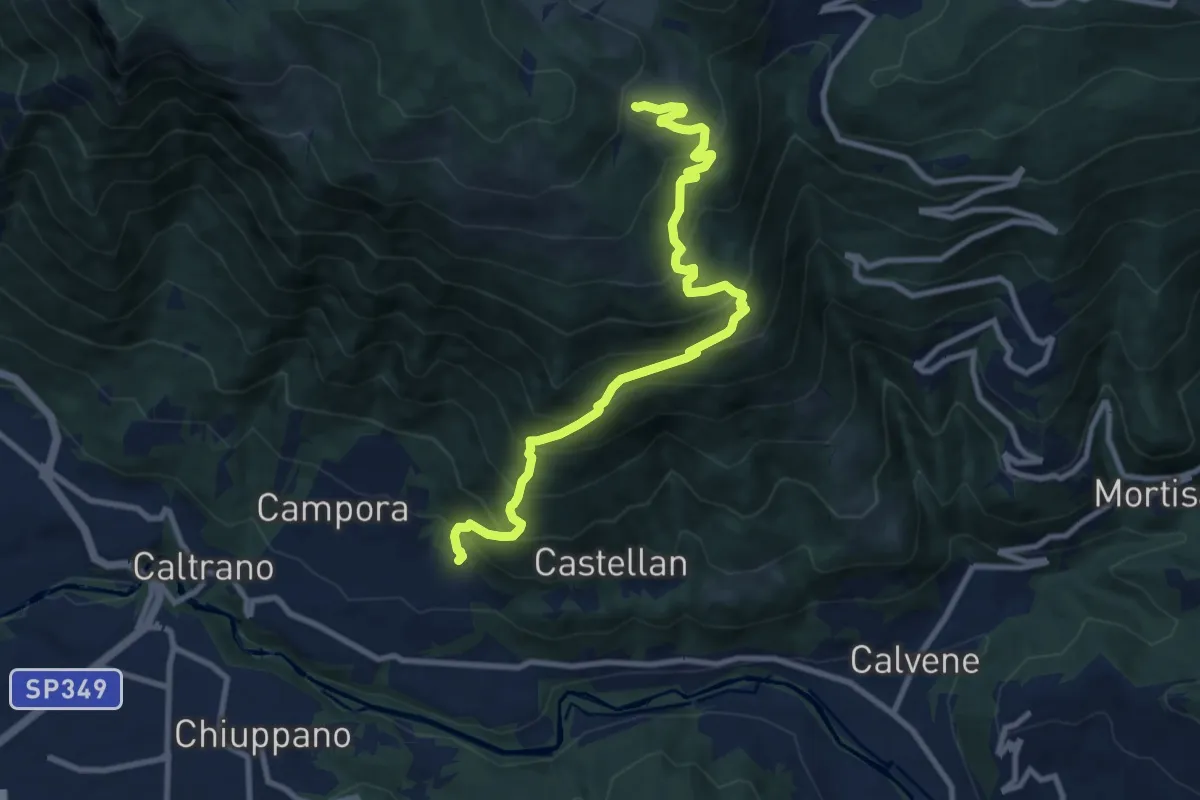
Demanding · Trail
Tezze di Caltrano - Malga Serona
10.5 km · ↑ 938 m · 4 h 30 min · 14 km away
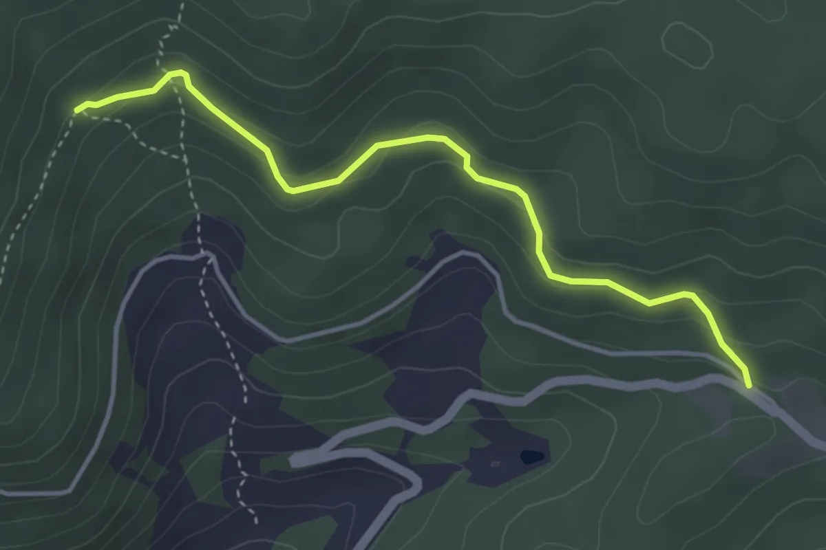
Medium · Trail
Sentiero Naturalistico "La Rocca"
3.9 km · ↑ 185 m · 1 h 19 min · 14 km away
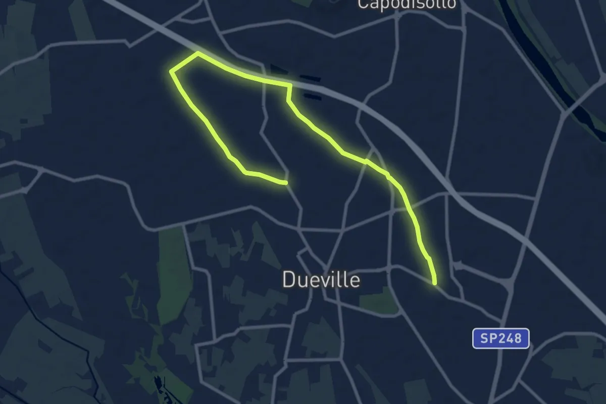
Medium · Trail
Percorso Fucsia
10.9 km · ↑ 17 m · 2 h 36 min · 14 km away
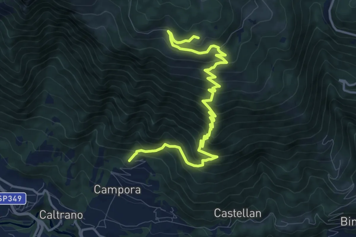
Demanding · Trail
Tezze di Caltrano - Malga Foraoro
12.2 km · ↑ 1011 m · 5 h 4 min · 14 km away
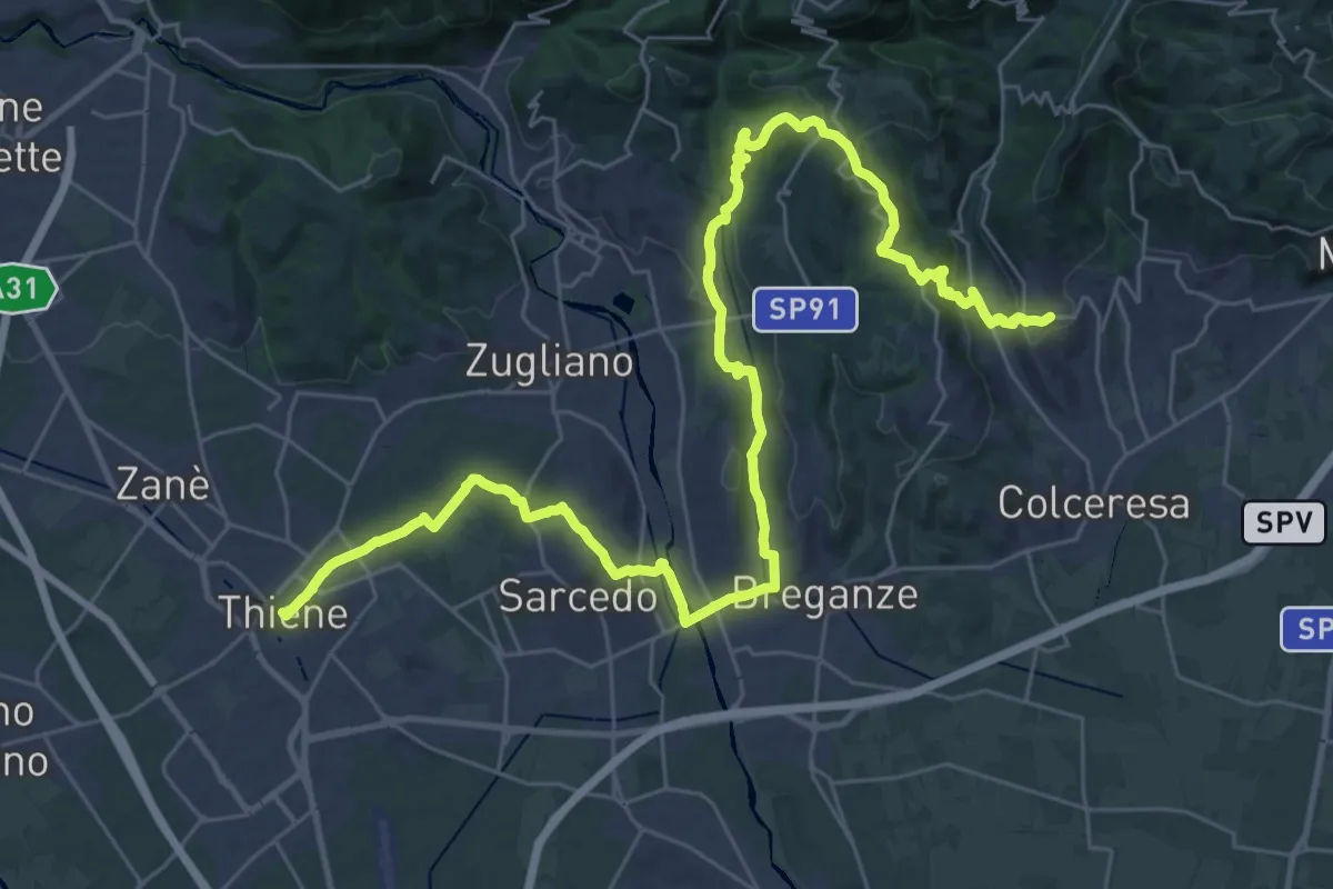
Demanding · Trail
Cammino del Beato Claudio 05
21.6 km · ↑ 492 m · 6 h 25 min · 14 km away
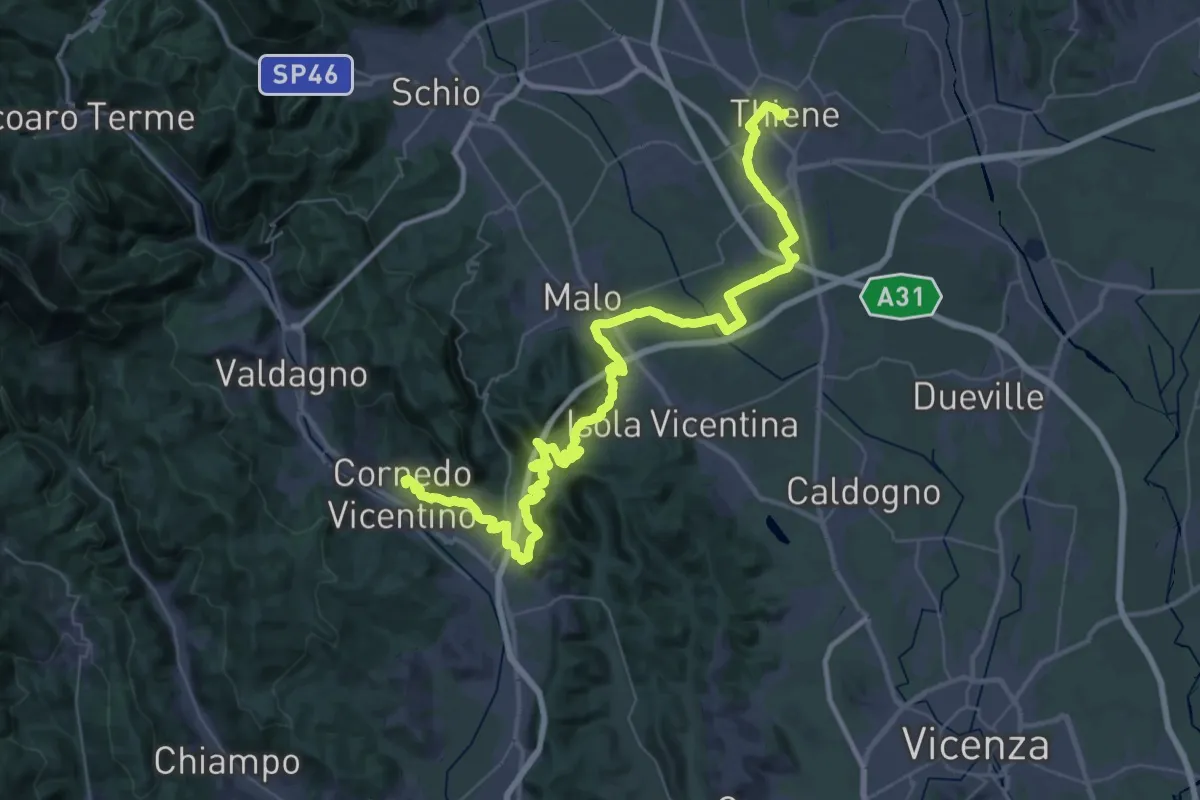
Demanding · Trail
Cammino del Beato Claudio 06
31.8 km · ↑ 702 m · 9 h 26 min · 14 km away
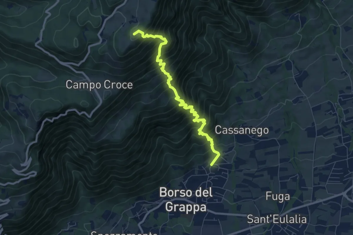
Demanding · Summit
località Rore – sotto Monte Legnarola - innesto sentiero 100
8.2 km · ↑ 1042 m · 4 h 11 min · 14 km away
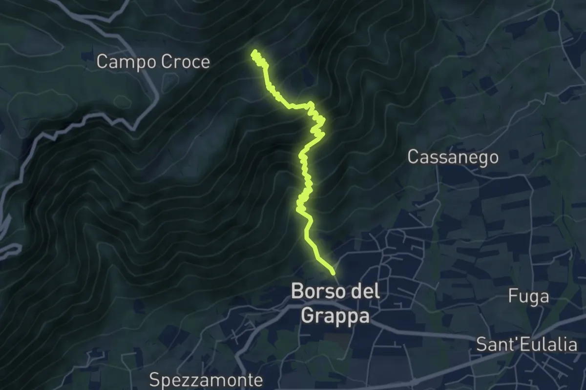
Medium · Trail
nei pressi della Chiesa – Casera de Usea - innesto sentiero 102
6.4 km · ↑ 695 m · 3 h 1 min · 15 km away
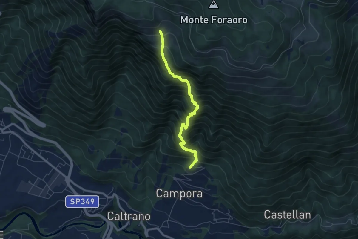
Demanding · Trail
Tezze di Caltrano - Malga Sunio
5.6 km · ↑ 857 m · 3 h 11 min · 15 km away
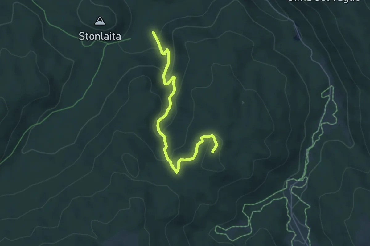
Medium · Summit
Sentiero dei Partigiani
5.2 km · ↑ 206 m · 1 h 41 min · 15 km away
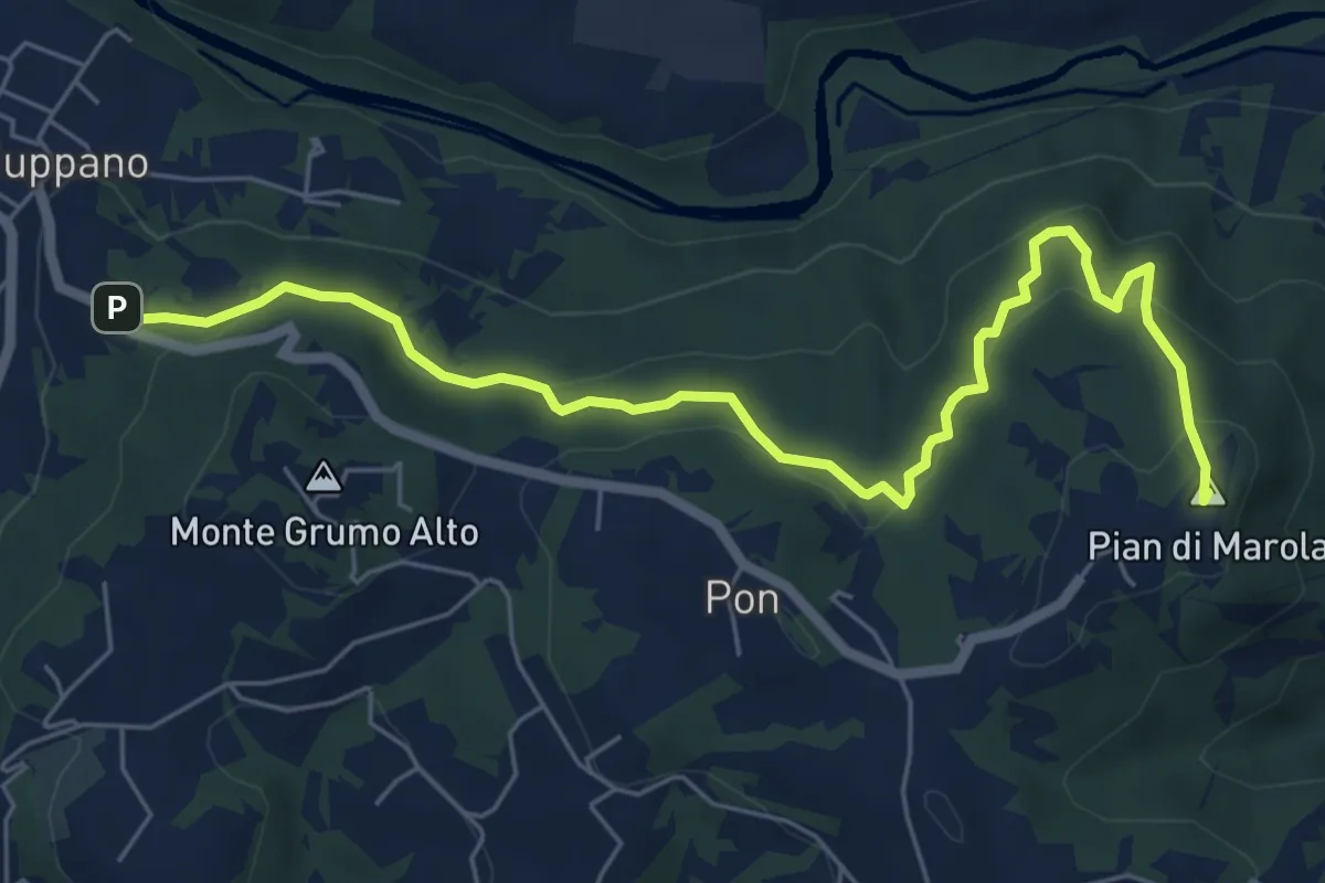
Medium · Summit
Strada Vicinale della Fonda
7.3 km · ↑ 288 m · 2 h 21 min · 15 km away