Trails near Messina
47 hikes starting within 15 km, nearest first.
Nearest first
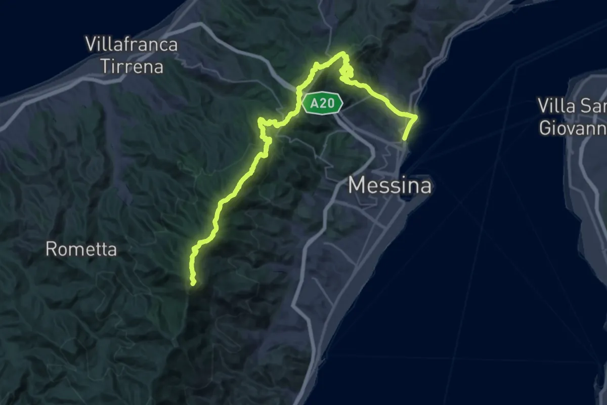
Demanding · Summit
Portella Armacera Casa Maressa – Annunziata
44.8 km · ↑ 2317 m · 15 h 37 min · 2 km away
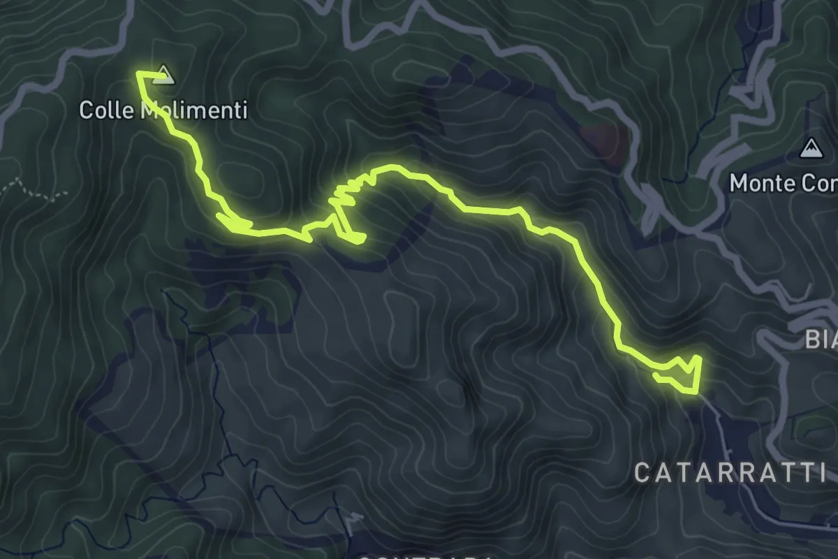
Medium · Summit
Cataratti Madunnuzza Colonia
7.9 km · ↑ 476 m · 2 h 54 min · 3 km away
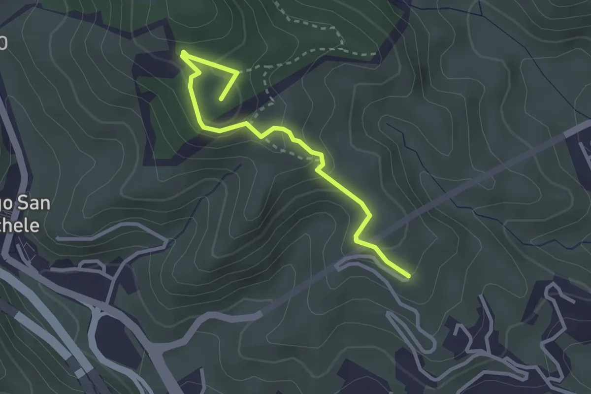
Easy · Summit
San Jachiddu Ciaramita
3.0 km · ↑ 198 m · 1 h 9 min · 3 km away
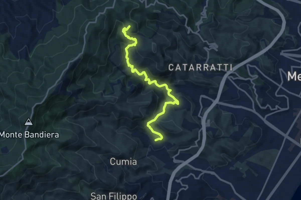
Medium · Summit
Bordonaro Camaro Dorsale
11.4 km · ↑ 602 m · 3 h 59 min · 4 km away
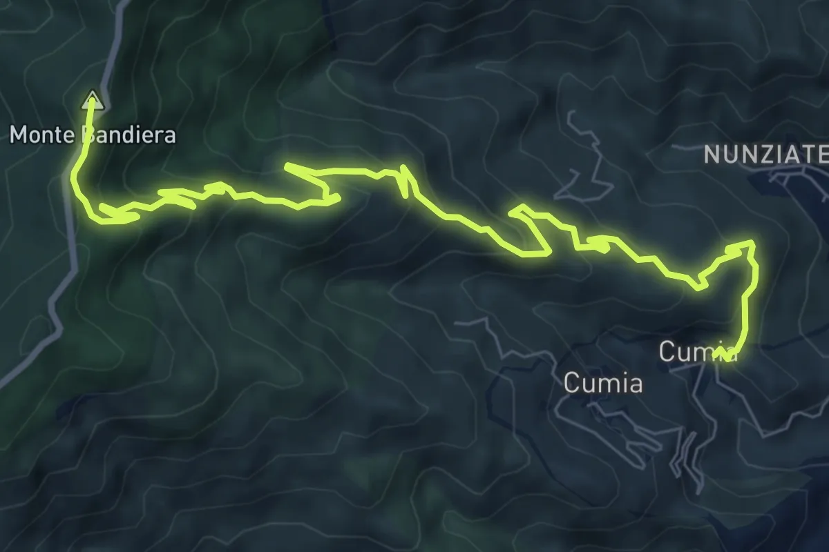
Medium · Summit
Cumia Inferiore - Monte Bandiera (Sentiere delle Neviere di Cumia)
11.8 km · ↑ 713 m · 4 h 20 min · 5 km away
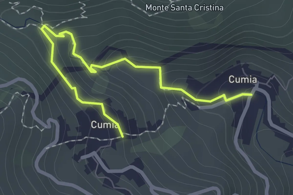
Easy · Trail
Sentiero dei Mulini di Cumia 16
2.4 km · ↑ 162 m · 54 min · 5 km away
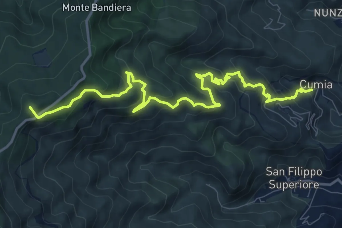
Demanding · Summit
Cumia Inferiore - Dinnammare (Via Mariae di Cumia)
11.3 km · ↑ 833 m · 4 h 29 min · 5 km away
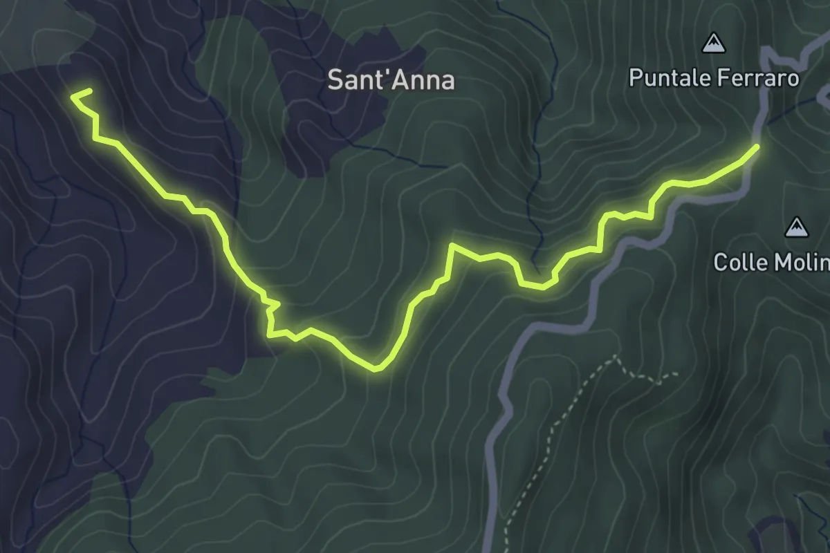
Medium · Summit
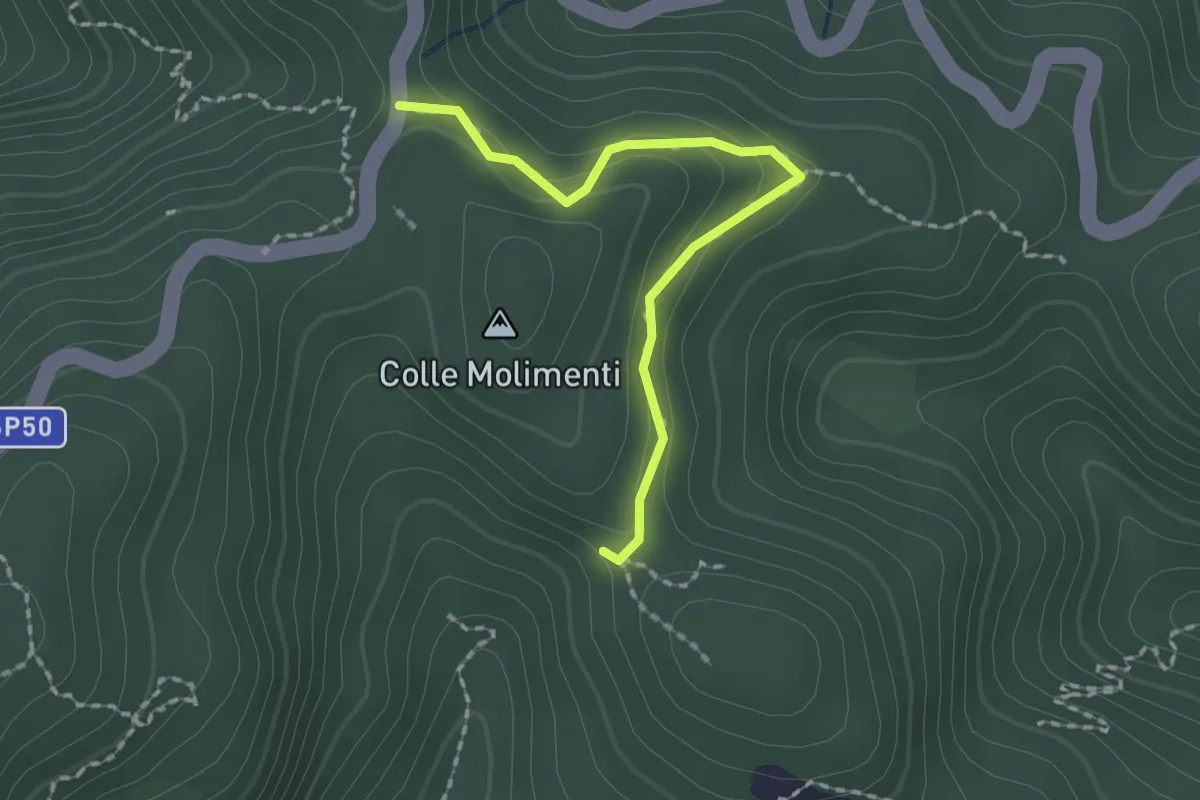
Calvaruso - Ferraro (Sentiero Frassati)
5.9 km · ↑ 379 m · 2 h 12 min · 5 km away
Easy · Trail
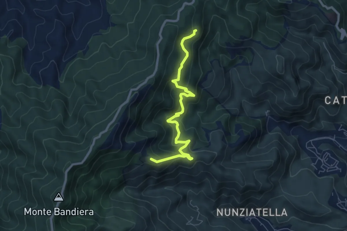
Puntale Ferraro ABC Madunnuzza
2.1 km · ↑ 87 m · 41 min · 5 km away
Medium · Summit
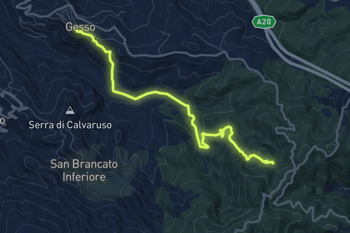
Portella Chiarino Foresta di Camaro
7.4 km · ↑ 479 m · 2 h 46 min · 5 km away
Medium · Trail
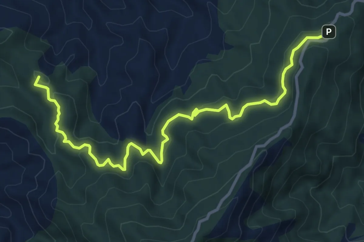
Quattro Strade Gesso
10.4 km · ↑ 535 m · 3 h 36 min · 5 km away
Medium · Summit
Cavaliere Sentiero Italia (Via Forte Campone Musolino)
9.7 km · ↑ 524 m · 3 h 26 min · 5 km away
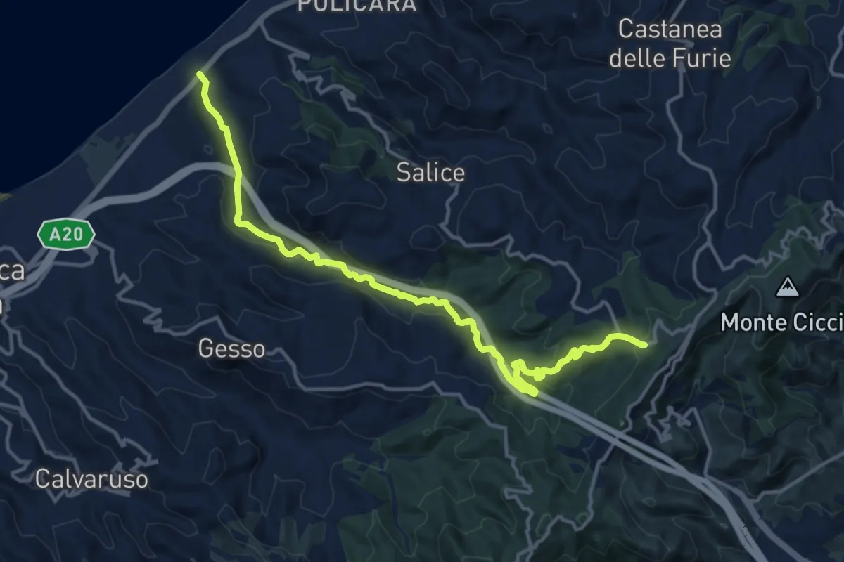
Medium · Trail
Tarantonio – Candelara SI
16.3 km · ↑ 436 m · 4 h 47 min · 5 km away
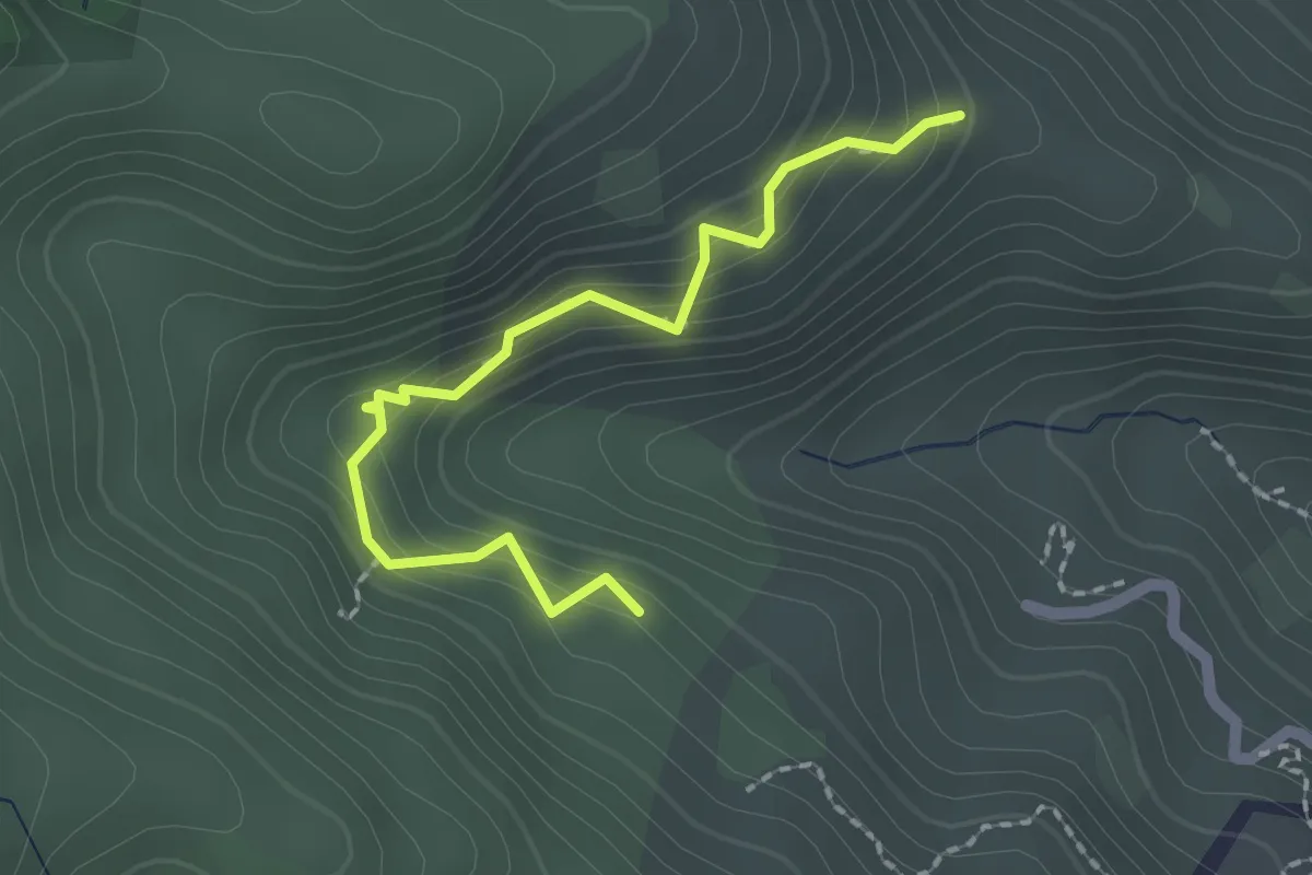
Easy · Trail
Sentiero dei lecci secolari
2.3 km · ↑ 250 m · 1 h 5 min · 6 km away
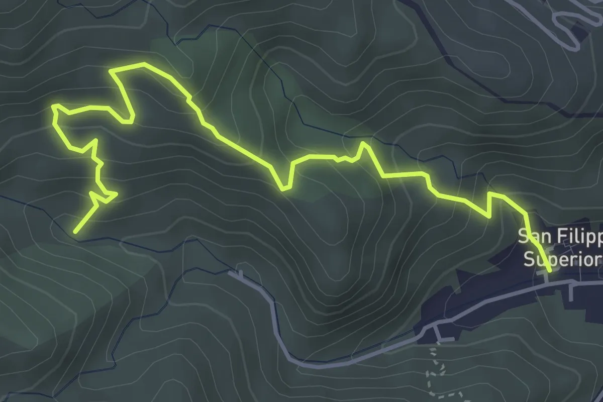
Medium · Trail
Mulattiera San Filippo Bosco Chiesa
5.4 km · ↑ 504 m · 2 h 22 min · 6 km away
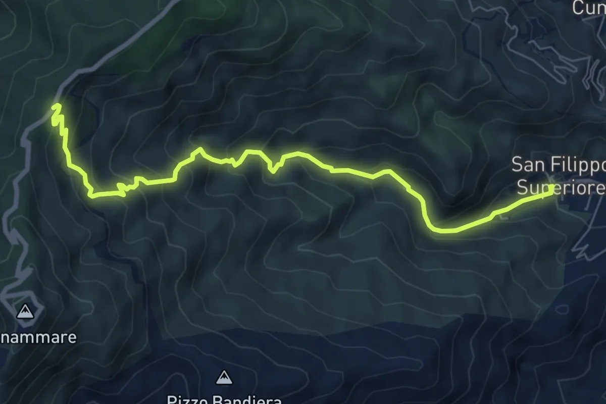
Medium · Trail
San Filippo Cascata Piano Verde
8.6 km · ↑ 659 m · 3 h 27 min · 6 km away
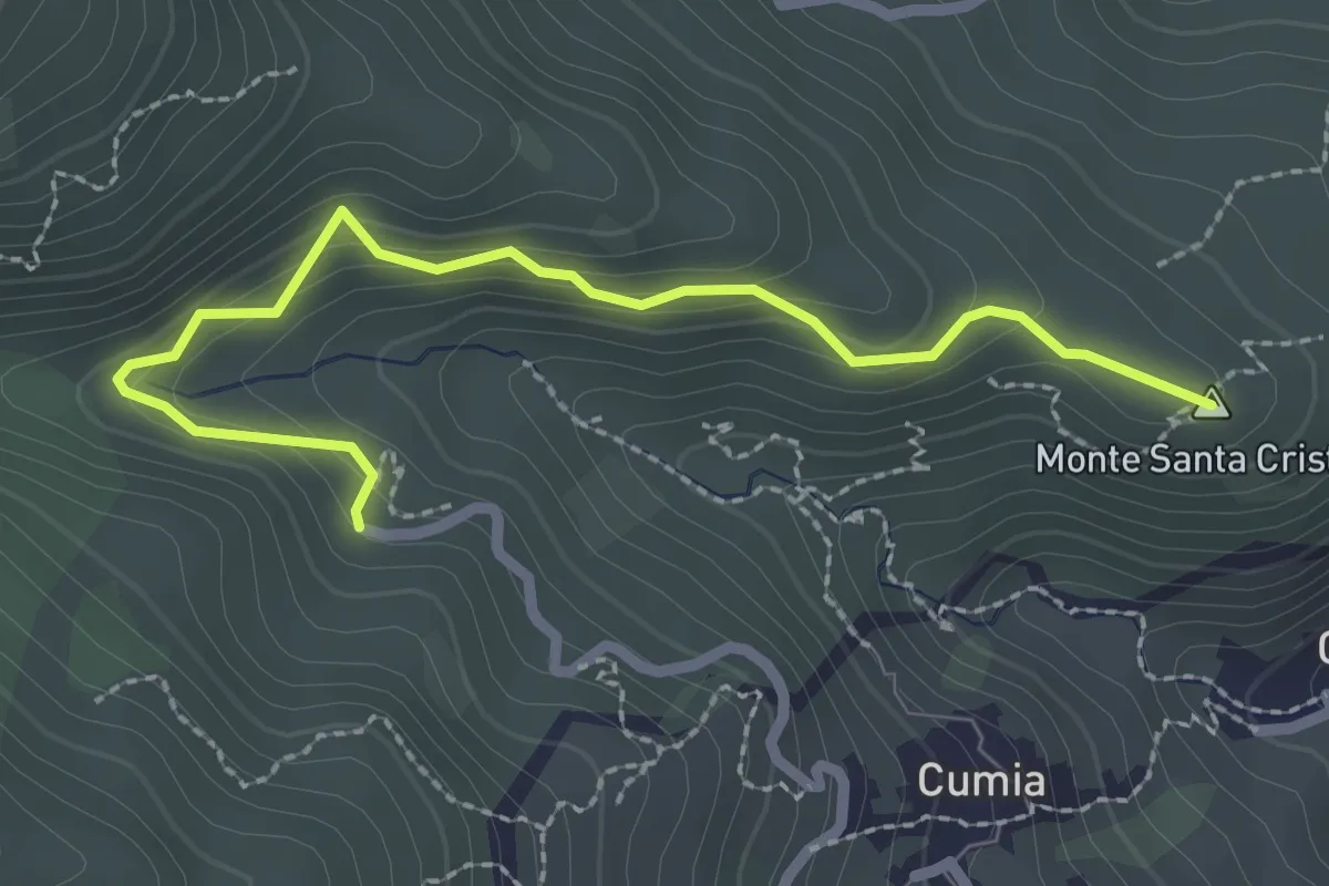
Easy · Summit
San Giuseppe Chioppazzo
3.0 km · ↑ 224 m · 1 h 11 min · 6 km away
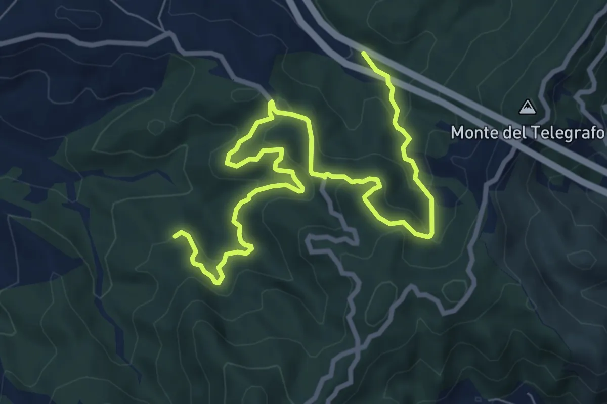
Medium · Trail
Candelara Rifugio Ferraro
10.6 km · ↑ 530 m · 3 h 39 min · 6 km away
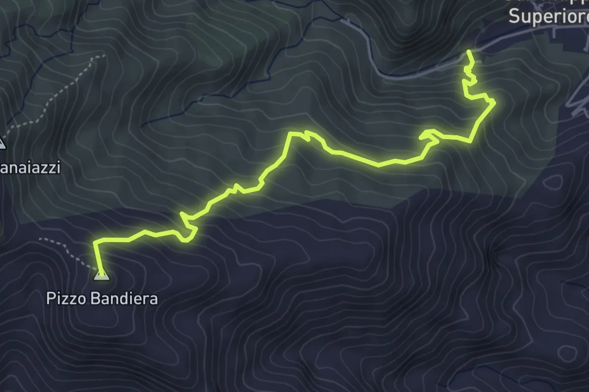
Medium · Summit
Via Mariae San Filippo Dinnammare
6.3 km · ↑ 522 m · 2 h 38 min · 6 km away
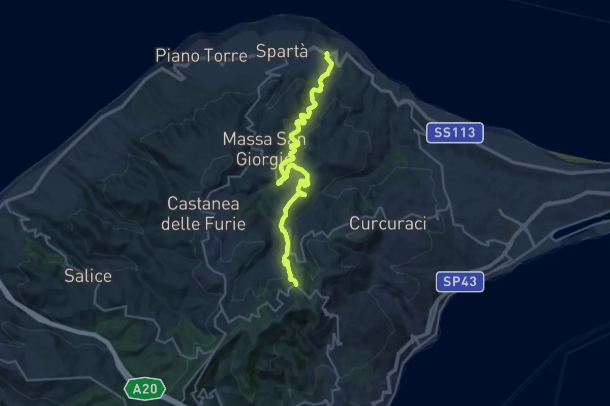
Medium · Trail
Torrente Corsari Masse Monte Ciccia
17.4 km · ↑ 665 m · 5 h 32 min · 6 km away
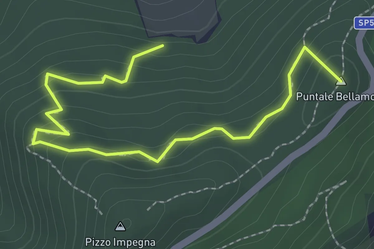
Easy · Summit
Sentiero guidato Ziriò (Variante Saponara SI)
3.0 km · ↑ 196 m · 1 h 8 min · 8 km away
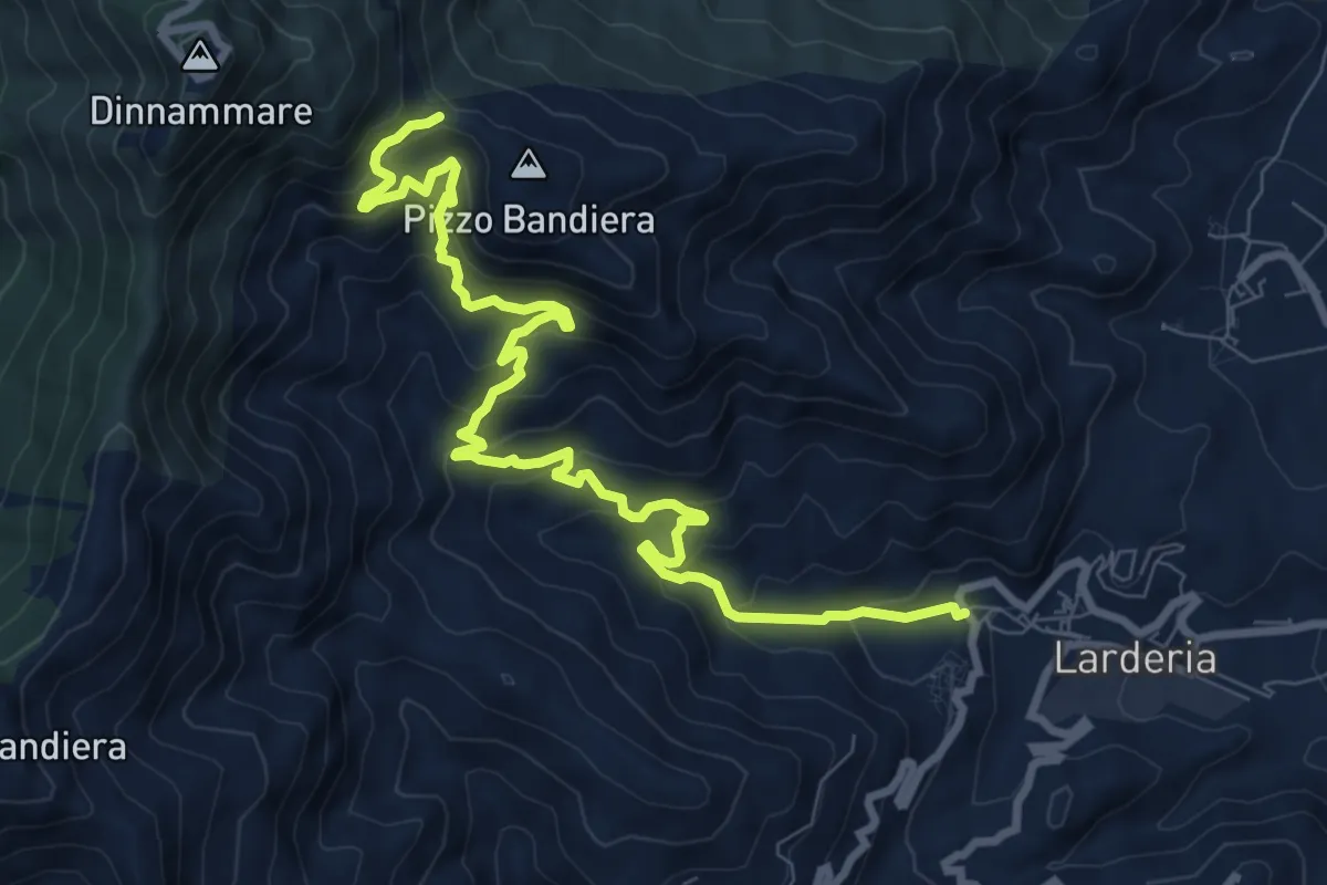
Medium · Trail
Via Mariae Larderia Dinnammare
11.8 km · ↑ 784 m · 4 h 29 min · 8 km away
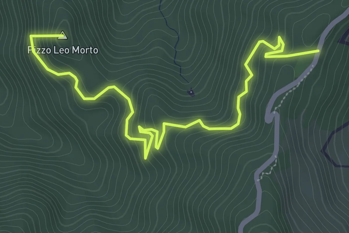
Medium · Summit
Variante Saponara Sentiero Italia (Via Piano Verde)
5.0 km · ↑ 370 m · 1 h 59 min · 8 km away
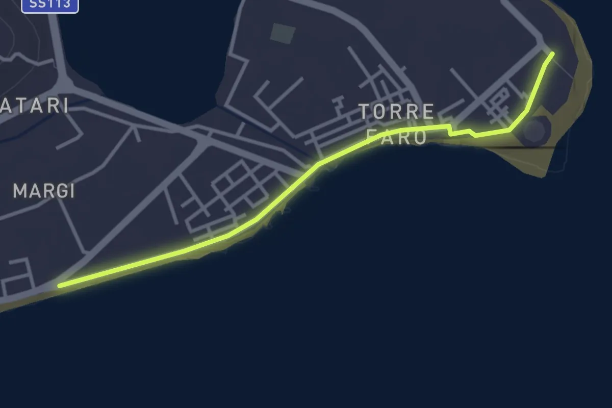
Easy · Pilgrim path
Via Normanna - Tappa 21bis
1.9 km · ↑ 4 m · 28 min · 10 km away
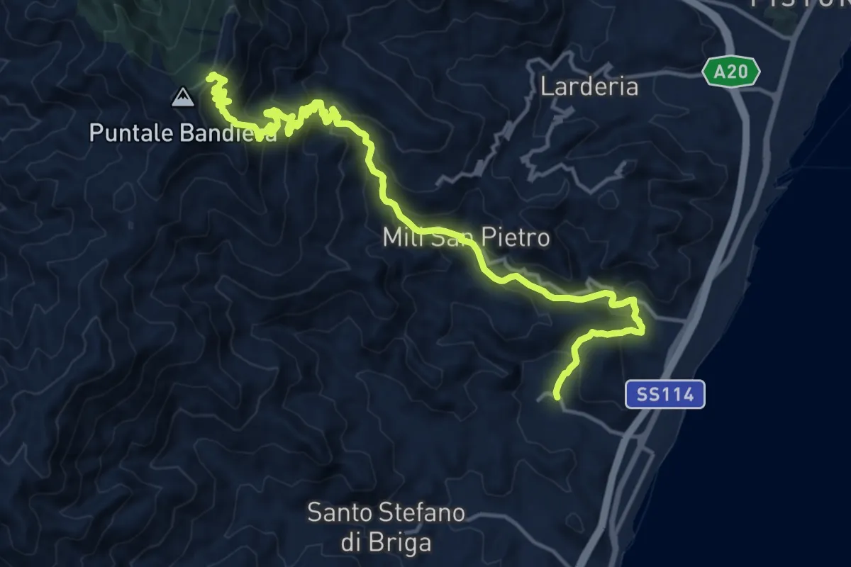
Demanding · Cabin
Galati Santa Lucia Mili Maressa
20.0 km · ↑ 1261 m · 7 h 28 min · 10 km away
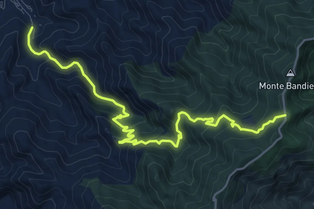
Medium · Trail
Saponara SI
14.0 km · ↑ 771 m · 4 h 58 min · 10 km away
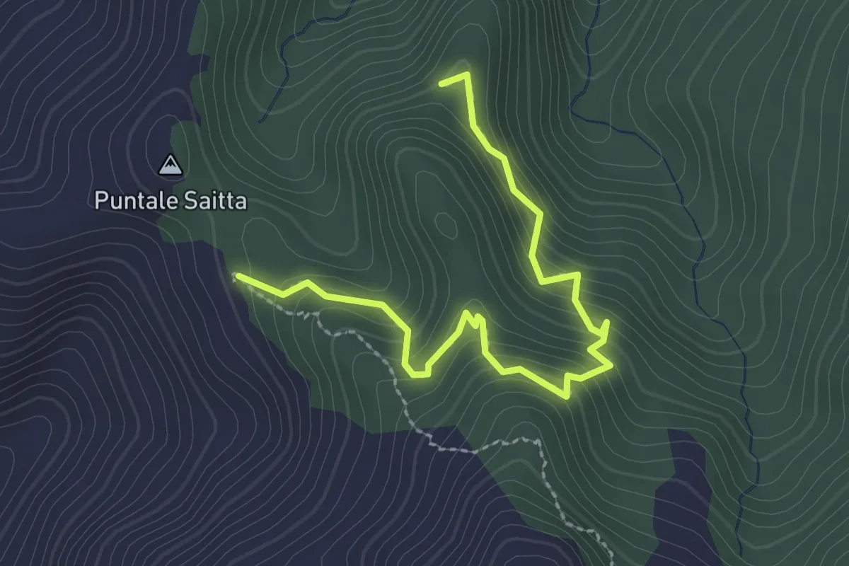
Easy · Cabin
Sentiero Guidato Brignoli
3.1 km · ↑ 293 m · 1 h 22 min · 11 km away
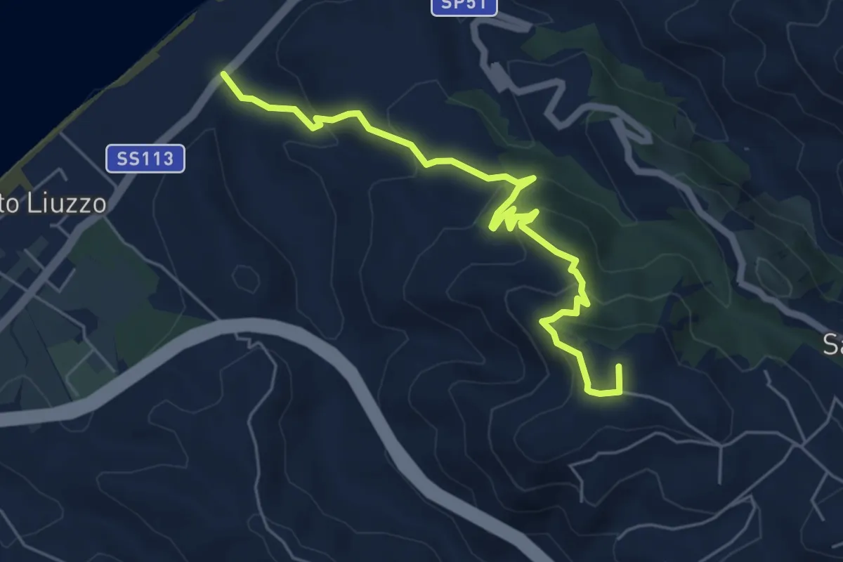
Medium · Summit
Ponte Tarantonio Salice
6.6 km · ↑ 359 m · 2 h 20 min · 11 km away
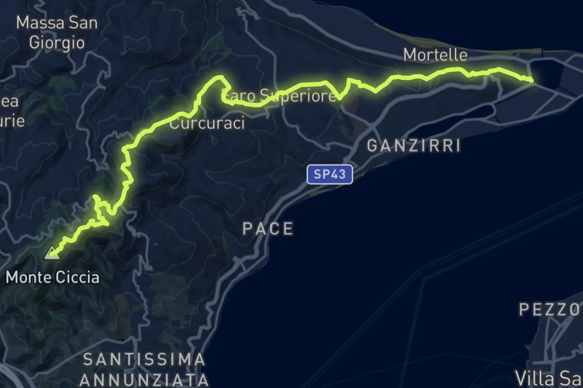
Demanding · Summit
Granatari Monte Ciccia
26.8 km · ↑ 935 m · 8 h 21 min · 11 km away
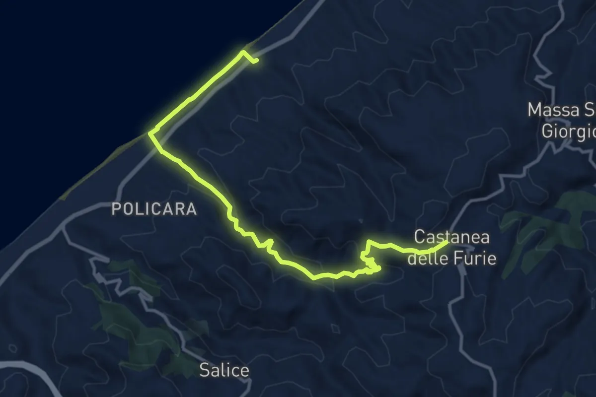
Medium · Trail
San Saba Castanea Variante via Fiumara Rodia
13.3 km · ↑ 479 m · 4 h 10 min · 11 km away
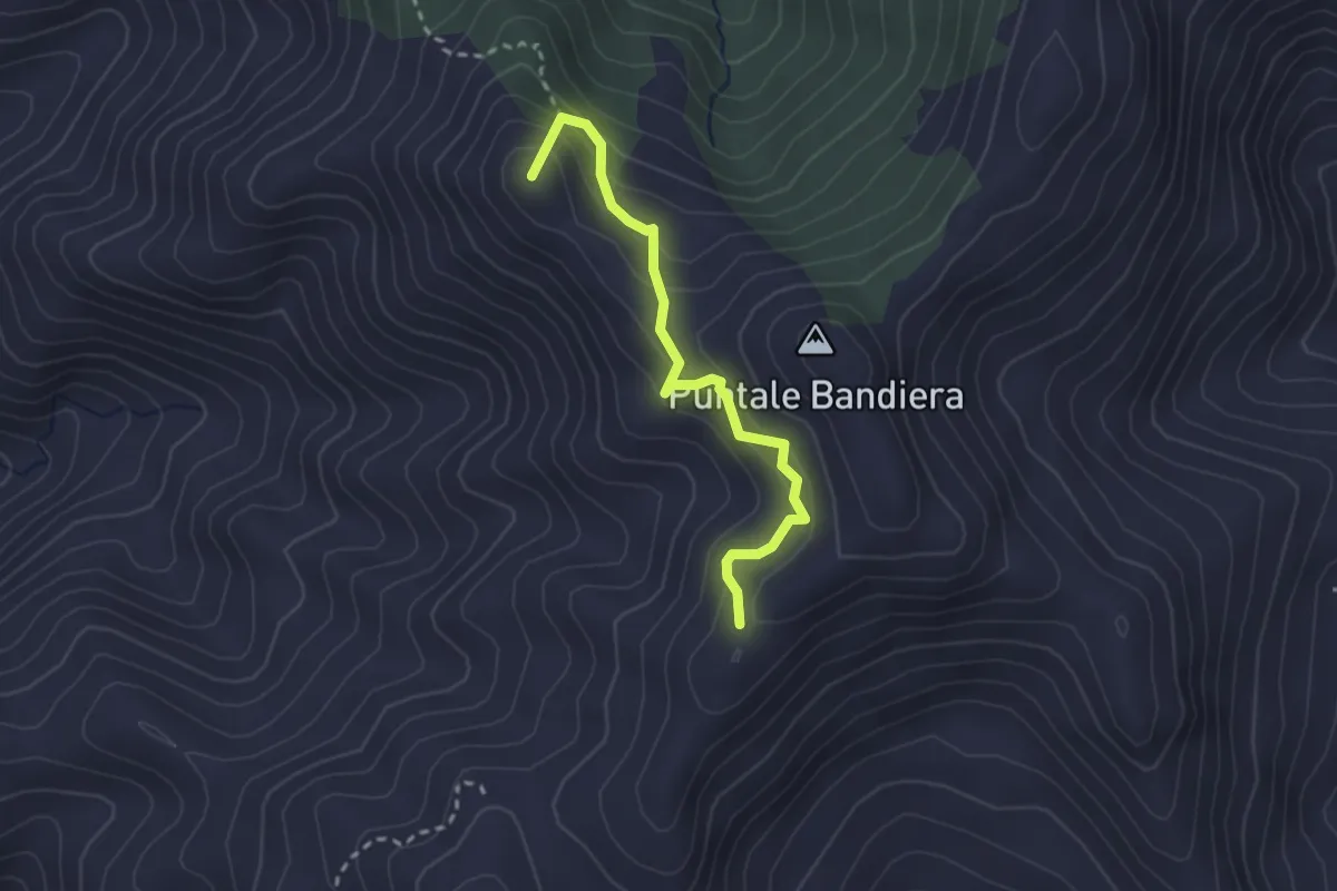
Medium · Summit
Variante Rometta SI (Via Pizzo Corvo)
2.9 km · ↑ 300 m · 1 h 20 min · 11 km away
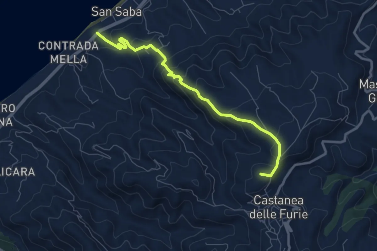
Medium · Summit
San Saba Castanea
7.7 km · ↑ 431 m · 2 h 45 min · 11 km away
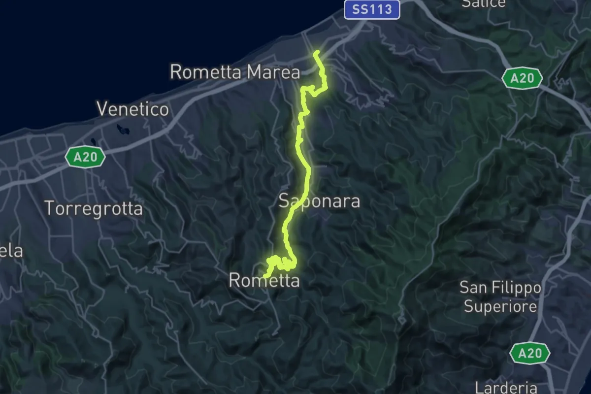
Demanding · Summit
Via Normanna - Tappa 20
25.8 km · ↑ 1000 m · 8 h 16 min · 12 km away
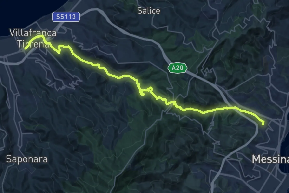
Medium · Summit
Via Normanna - Tappa 21
14.4 km · ↑ 552 m · 4 h 47 min · 12 km away
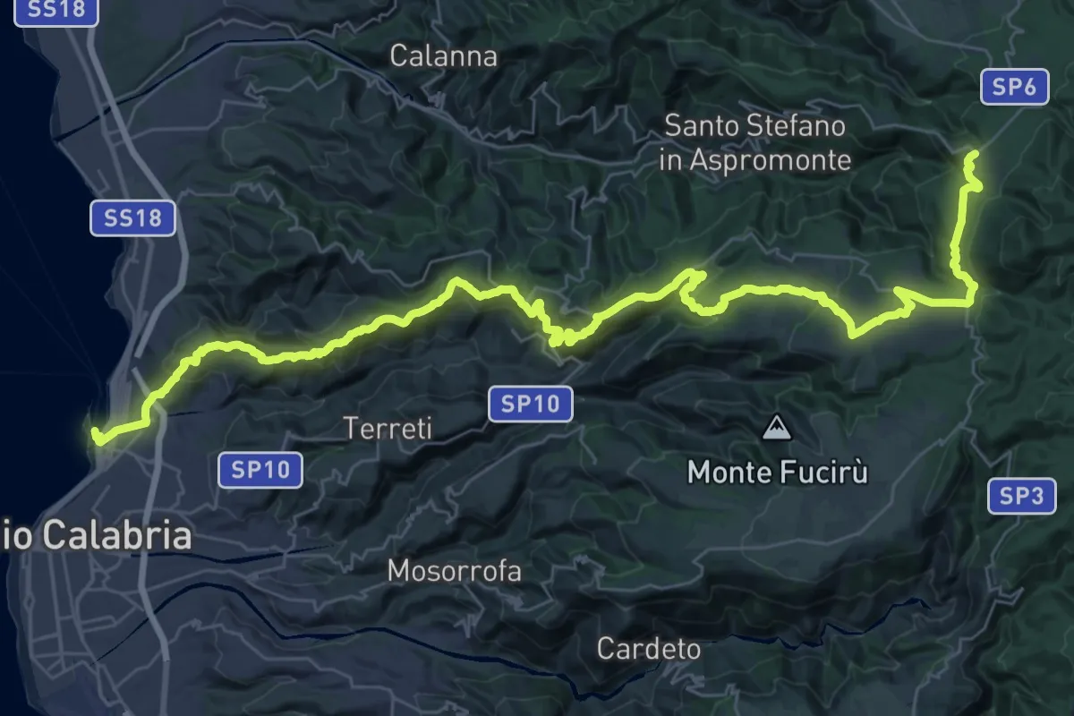
Demanding · Trail
Reggio Calabria – Gambarie
27.6 km · ↑ 1760 m · 10 h 4 min · 12 km away
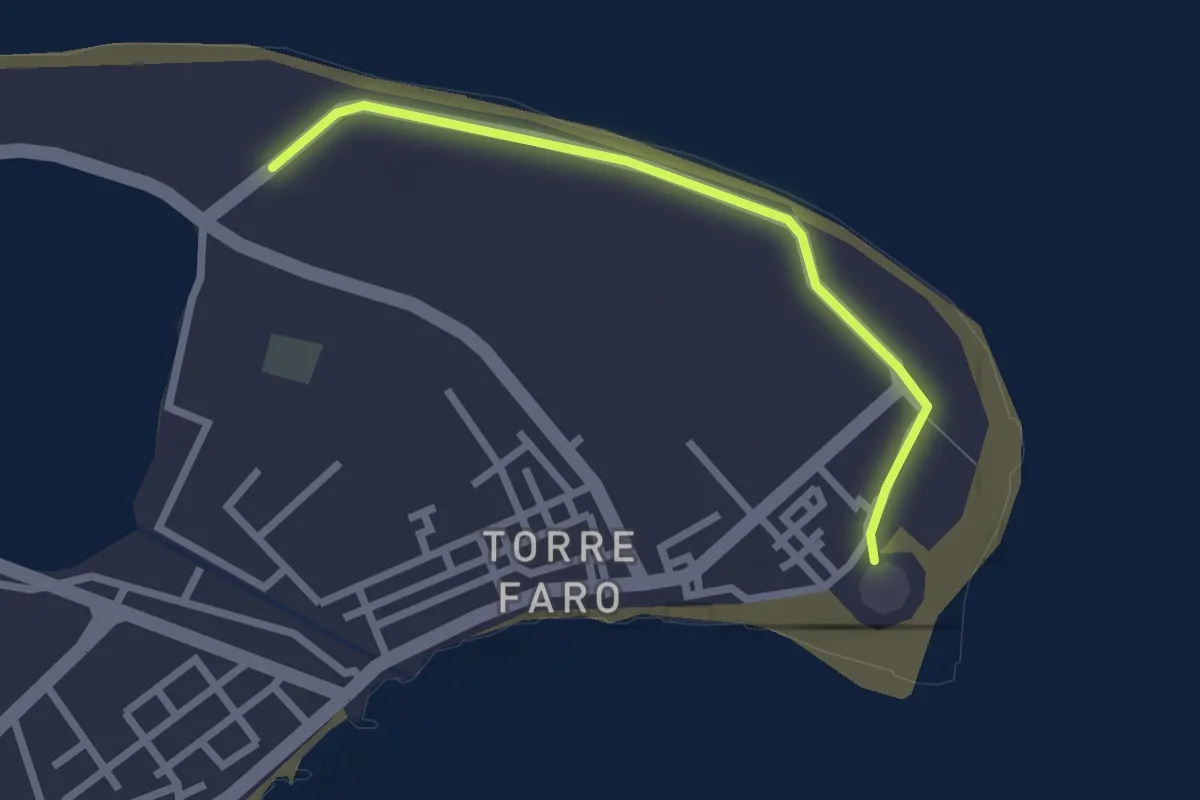
Easy · Trail
European Long distance path E1 - part Italy - Sicily
2.6 km · ↑ 4 m · 37 min · 12 km away
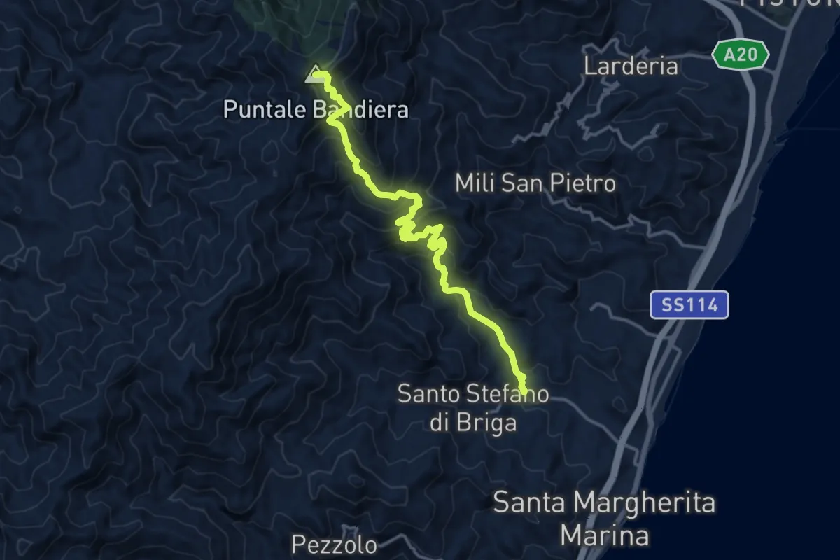
Demanding · Summit
S. Stefano Medio Maressa
16.2 km · ↑ 1172 m · 6 h 22 min · 12 km away
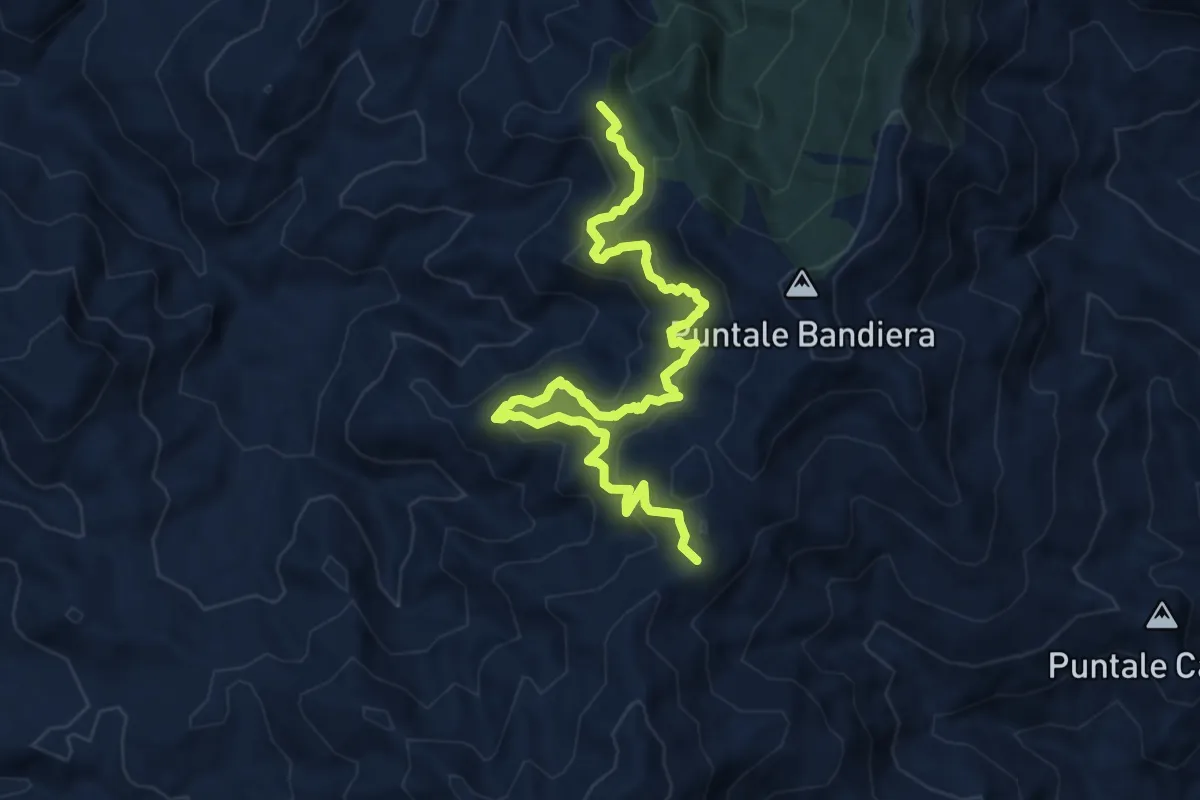
Demanding · Summit
Variante Rometta SI (Via Rifugio Girasì)
12.0 km · ↑ 924 m · 4 h 50 min · 12 km away
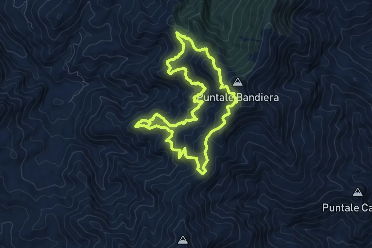
Medium · Summit
Sentiero guidato Girasì
9.2 km · ↑ 771 m · 3 h 57 min · 12 km away
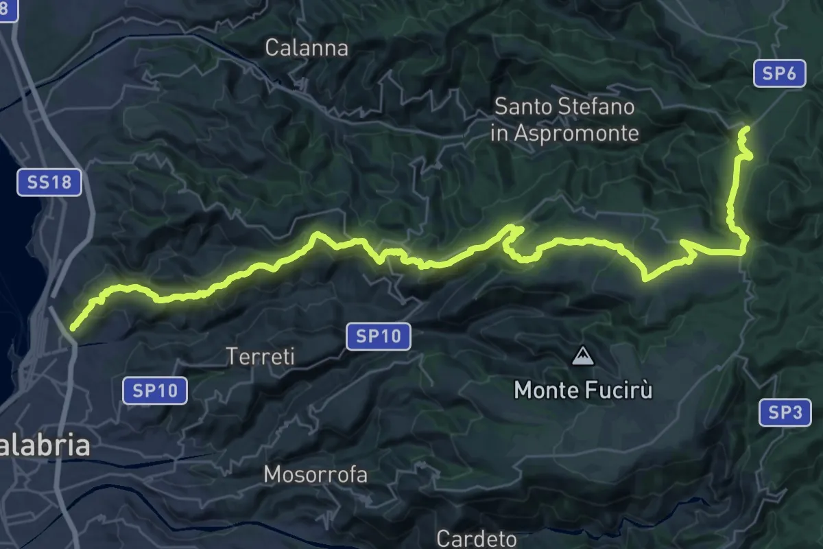
Demanding · Trail
Reggio Calabria - Passo Di Orti' - Gambarie
24.5 km · ↑ 1586 m · 8 h 57 min · 12 km away
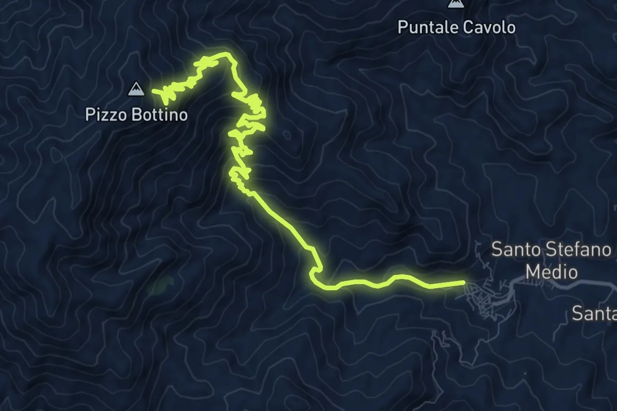
Demanding · Trail
S. Stefano Briga Bottino
15.7 km · ↑ 1132 m · 6 h 9 min · 12 km away
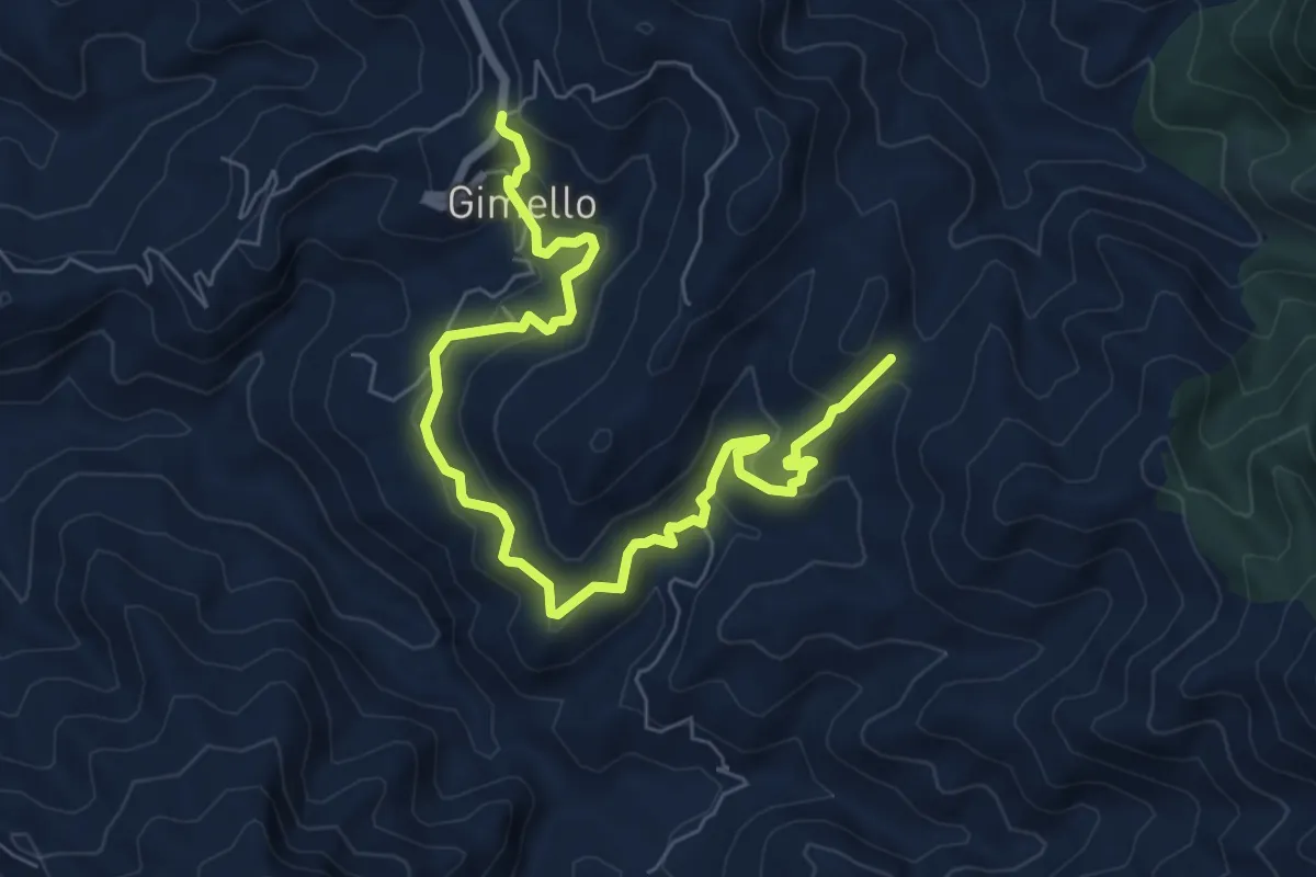
Medium · Trail
Variante Rometta SI (Via S. Leone)
9.4 km · ↑ 620 m · 3 h 34 min · 12 km away
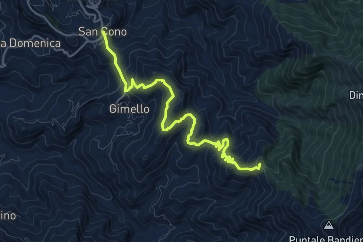
Medium · Summit
Rometta Portella Larderia SI
12.2 km · ↑ 572 m · 4 h 7 min · 12 km away
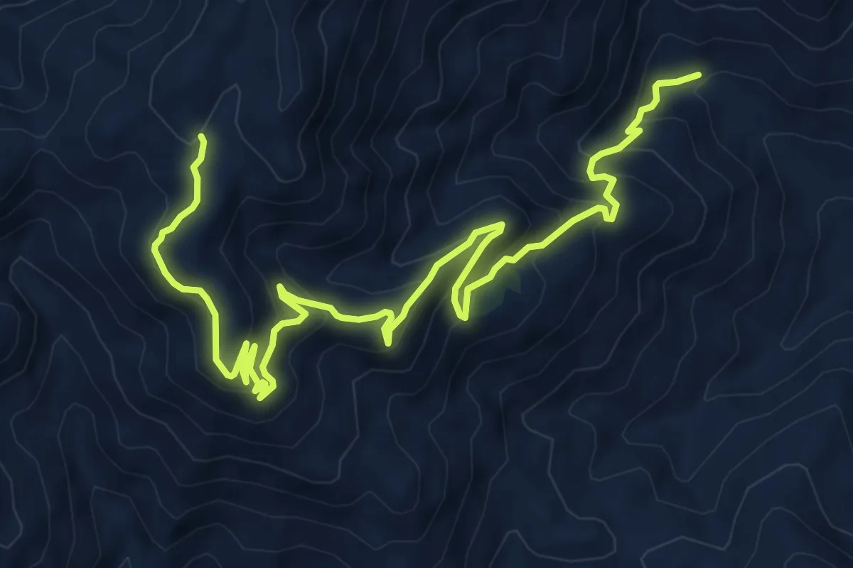
Medium · Summit
Salemi San Calorio 26
5.7 km · ↑ 675 m · 2 h 35 min · 13 km away
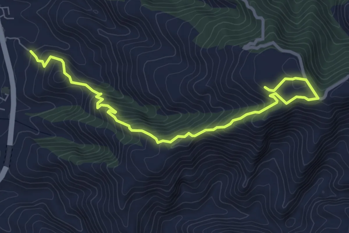
Medium · Trail
Sentiero dello Spirito
8.0 km · ↑ 550 m · 3 h 5 min · 13 km away
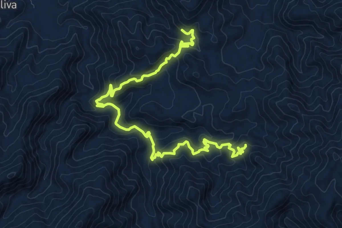
Demanding · Summit
Pellegrino SI (Via Ghiuppo)
16.7 km · ↑ 1079 m · 6 h 16 min · 15 km away
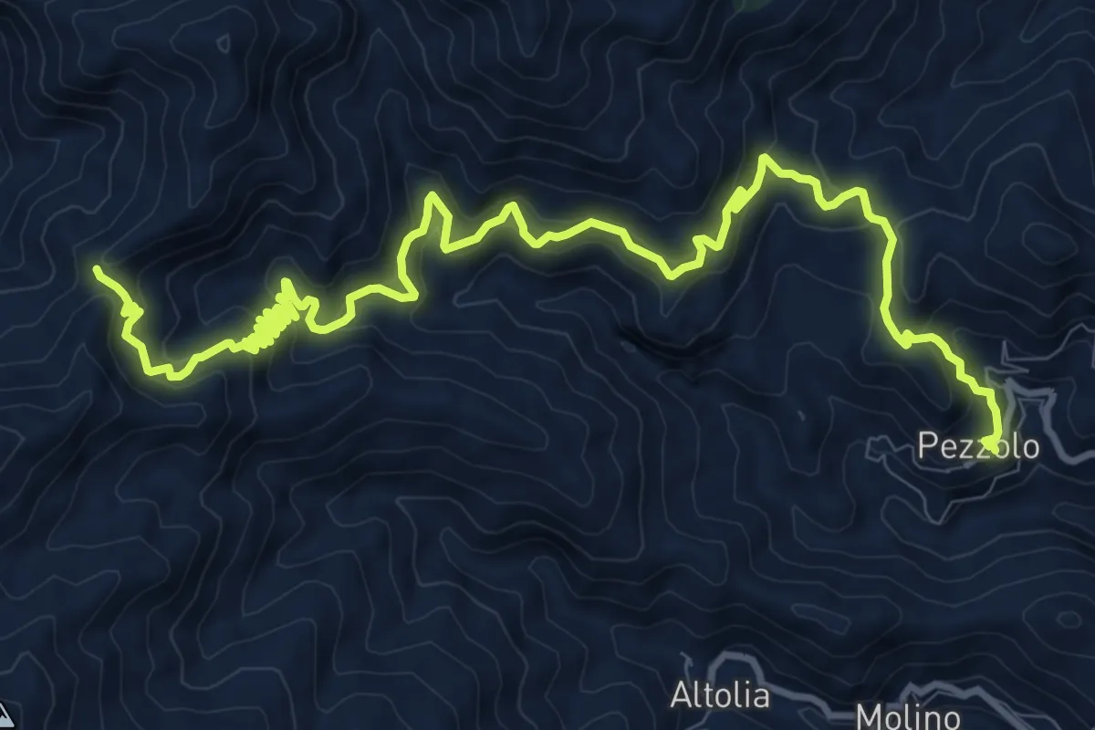
Demanding · Trail
Pezzolo Portella Griole
16.3 km · ↑ 991 m · 6 h · 15 km away