Trails near Meta
82 hikes starting within 15 km, nearest first.
Nearest first, page 1 of 2
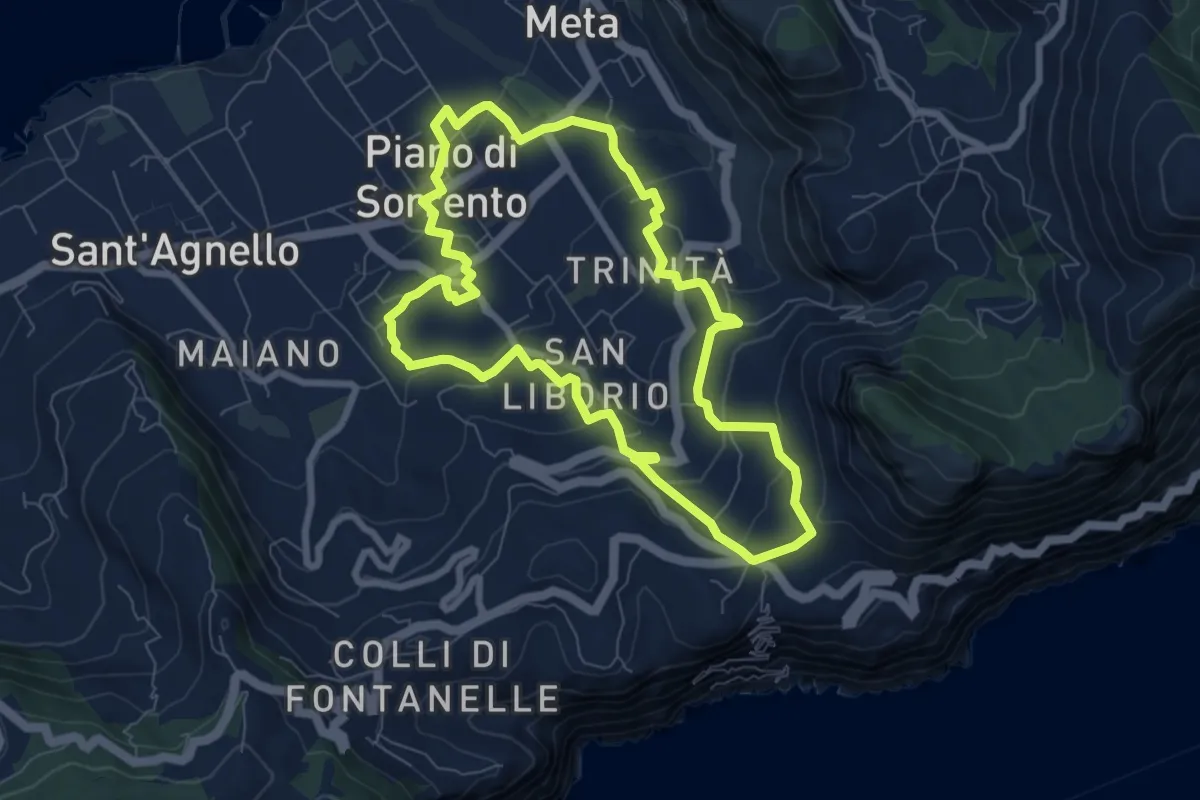
Medium · Trail
I casali di Piano
8.2 km · ↑ 260 m · 2 h 37 min · 1 km away
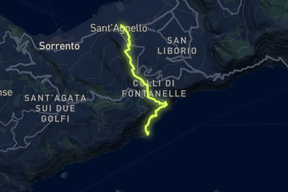
Demanding · Trail
Stazione Circumvesuviana (S.Agnello) – Punta S.Elia
10.7 km · ↑ 1084 m · 4 h 53 min · 2 km away
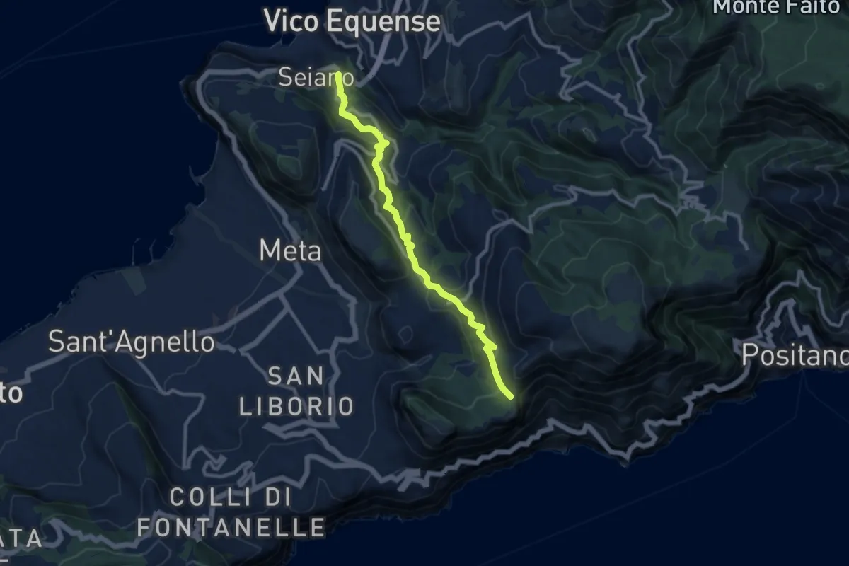
Medium · Trail
Seiano di Vico Equense – Incrocio 300
10.0 km · ↑ 564 m · 3 h 35 min · 2 km away
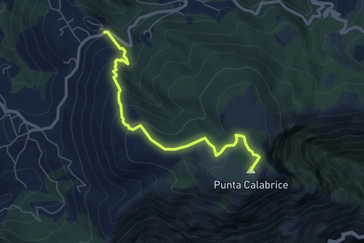
Medium · Summit
Via San Giovanni Bosco Preazzano – Incrocio 300 monte Comune
6.1 km · ↑ 430 m · 2 h 23 min · 2 km away
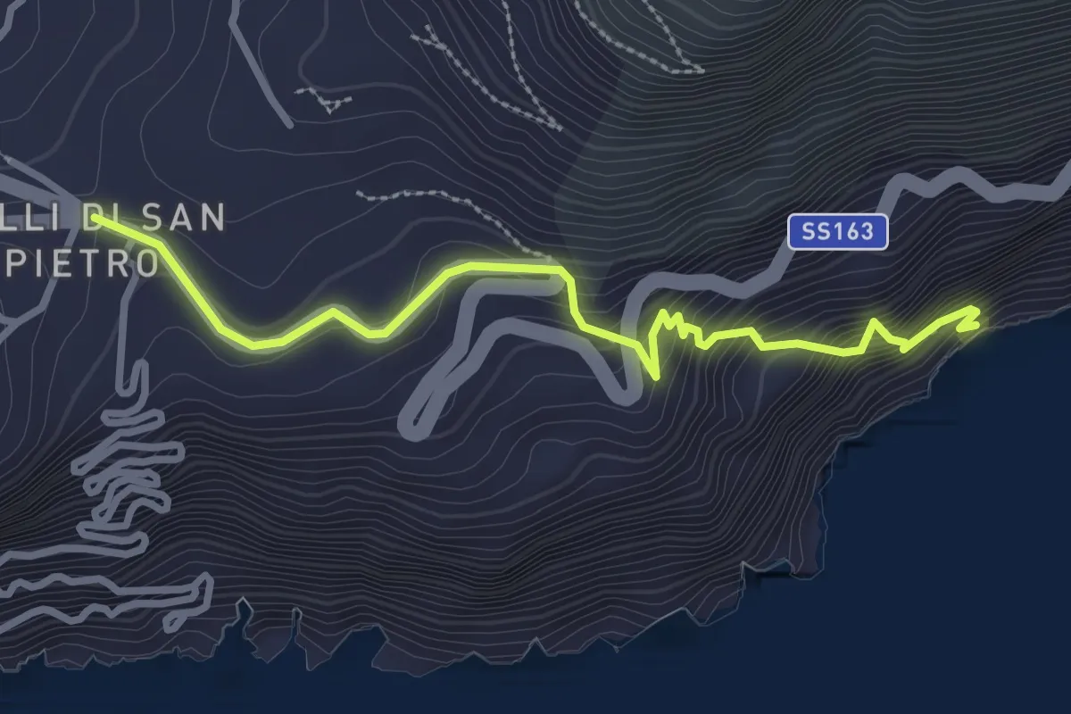
Medium · Trail
Lo Scaricatore
3.3 km · ↑ 374 m · 1 h 36 min · 3 km away
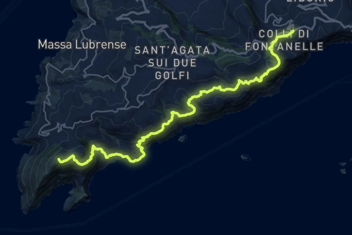
Demanding · Summit
Colli di Fontanelle – Termini
23.6 km · ↑ 1667 m · 9 h 11 min · 3 km away
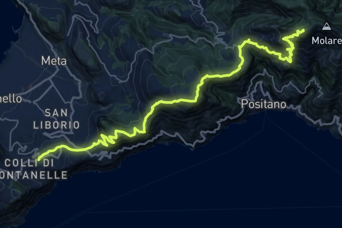
Demanding · Summit
Faito – Colli di Fontanelle
26.6 km · ↑ 2341 m · 11 h 21 min · 3 km away
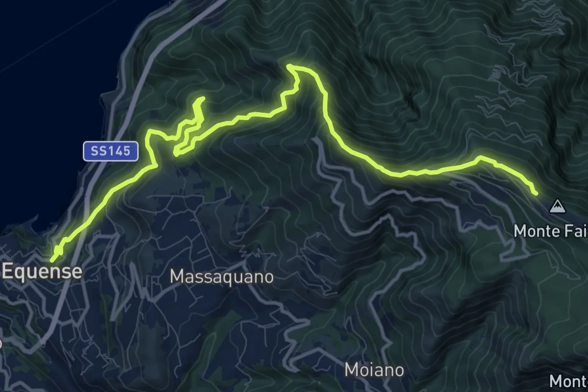
Demanding · Trail
Stazione Vesuviana (Vico Equense) – Cresta del M.Faito (incrocio 350)
15.4 km · ↑ 1424 m · 6 h 43 min · 3 km away
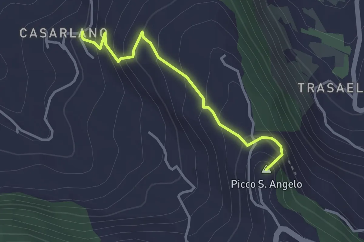
Easy · Summit
Itinerario 29
2.9 km · ↑ 258 m · 1 h 14 min · 3 km away
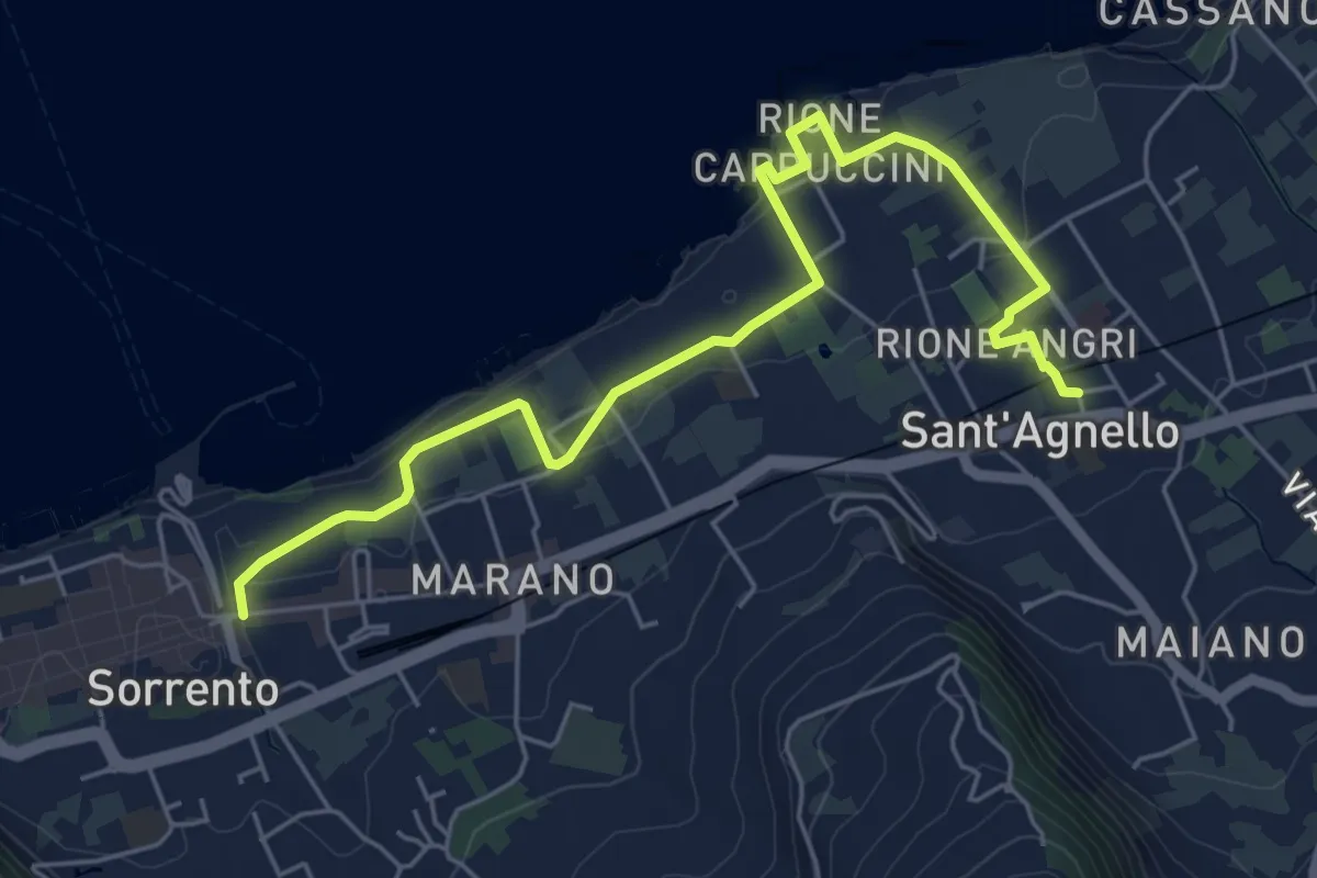
Easy · Trail
Itinerario 19
7.0 km · ↑ 282 m · 2 h 15 min · 4 km away
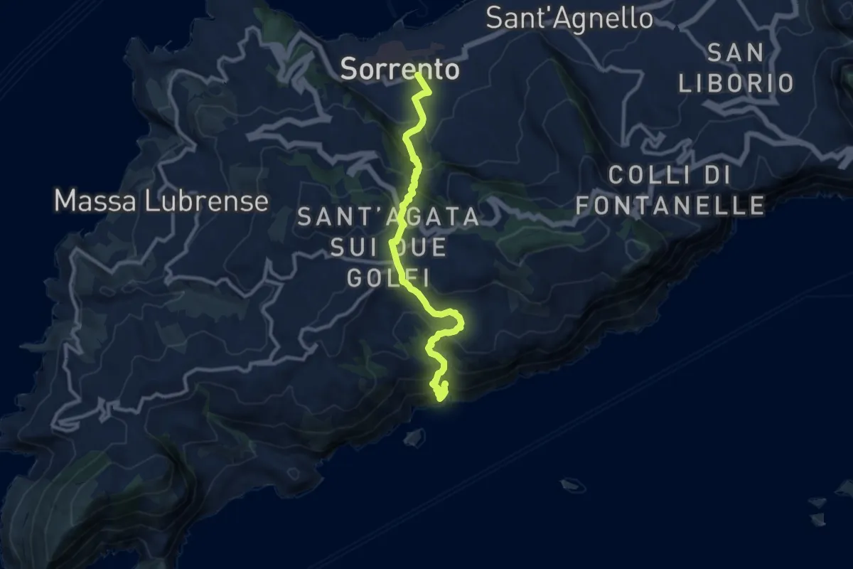
Medium · Trail
Sentiero del Fiordo di Crapolla
10.8 km · ↑ 794 m · 4 h 16 min · 4 km away
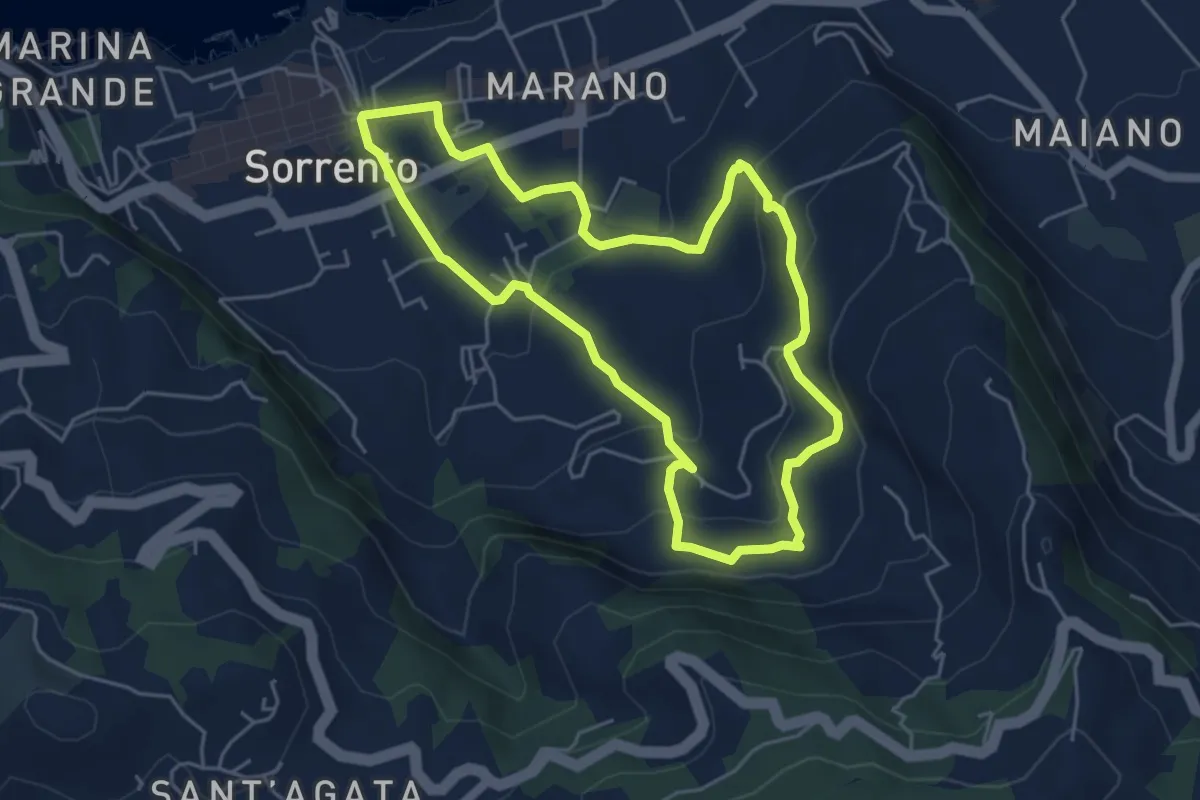
Easy · Trail
Itinerario 22
5.3 km · ↑ 223 m · 1 h 48 min · 4 km away
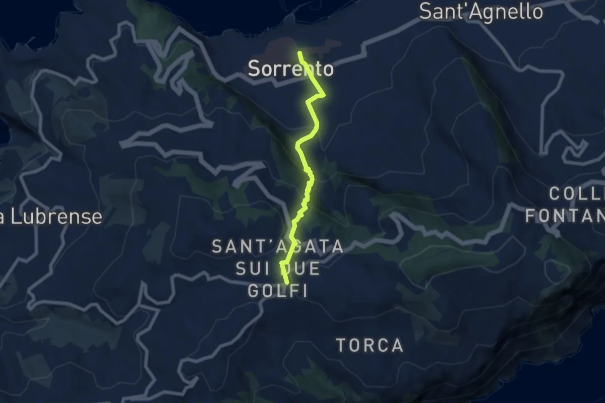
Medium · Trail
Itinerario 25
5.9 km · ↑ 346 m · 2 h 9 min · 4 km away
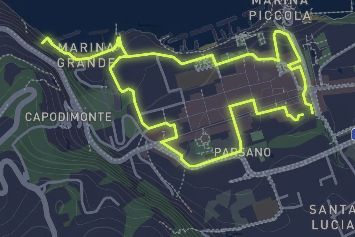
Easy · Trail
Itinerario 11
3.7 km · ↑ 104 m · 1 h 9 min · 4 km away
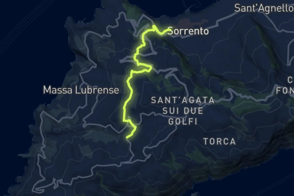
Medium · Trail
Itinerario 14
10.3 km · ↑ 424 m · 3 h 21 min · 4 km away
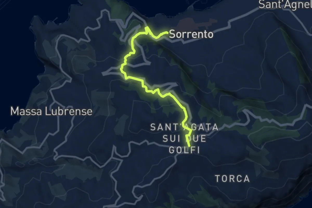
Medium · Trail
Itinerario 15
9.1 km · ↑ 471 m · 3 h 10 min · 4 km away
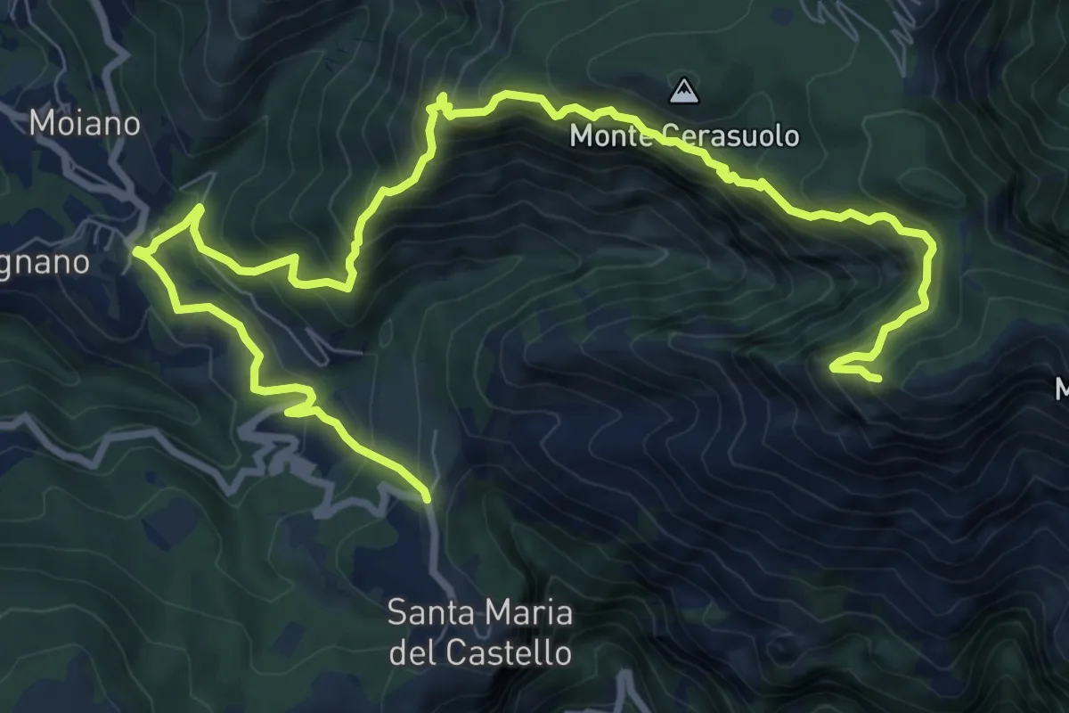
Expert · Trail
via Gradoni, S.M. del Castello – incrocio 300
13.3 km · ↑ 1294 m · 5 h 56 min · 5 km away
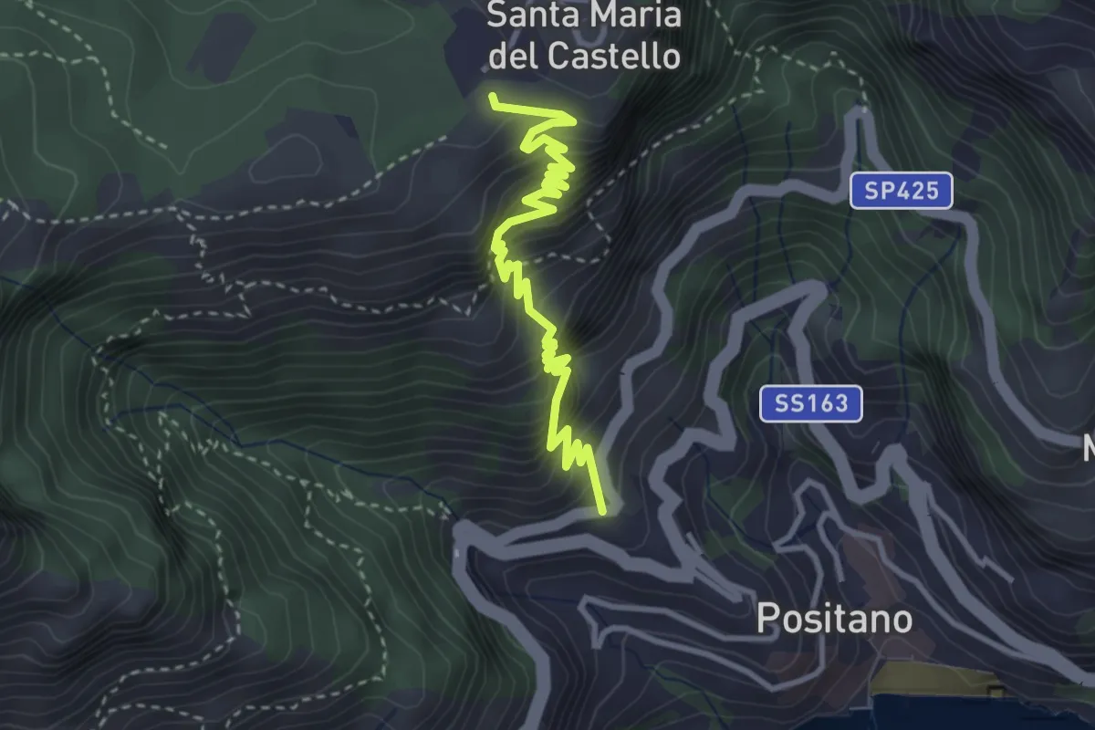
Medium · Trail
Le Tese di Positano
4.0 km · ↑ 715 m · 2 h 29 min · 5 km away
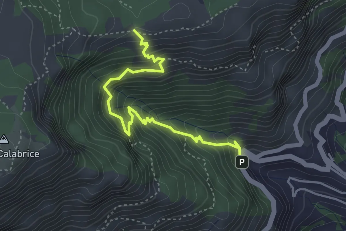
Medium · Trail
Bivio Montepertuso (Positano) – Incrocio 300
4.1 km · ↑ 527 m · 2 h 7 min · 5 km away
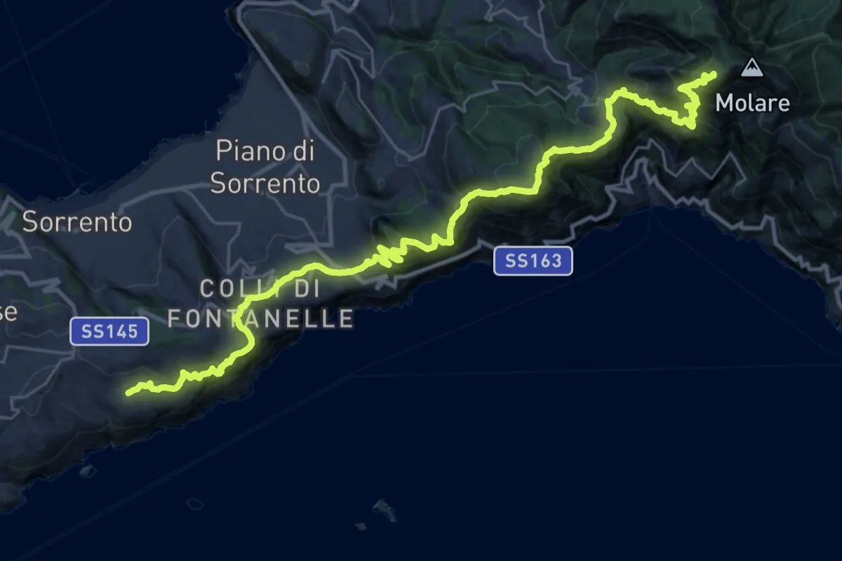
Demanding · Summit
Alta Via dei Monti Lattari - 07
35.2 km · ↑ 2864 m · 14 h 30 min · 5 km away
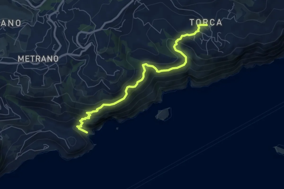
Demanding · Trail
Alta Via dei Monti Lattari - 08
7.4 km · ↑ 600 m · 3 h 3 min · 5 km away
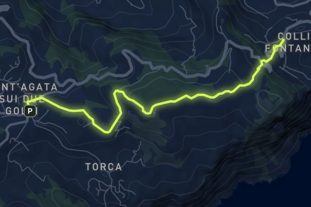
Medium · Trail
Itinerario 59
8.3 km · ↑ 297 m · 2 h 37 min · 5 km away
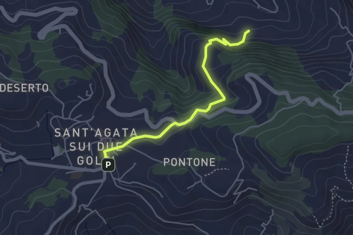
Easy · Trail
Itinerario 26
4.2 km · ↑ 246 m · 1 h 32 min · 5 km away
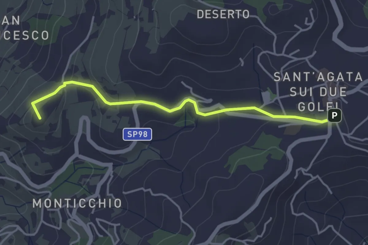
Easy · Summit
Itinerario 35
4.1 km · ↑ 94 m · 1 h 10 min · 5 km away
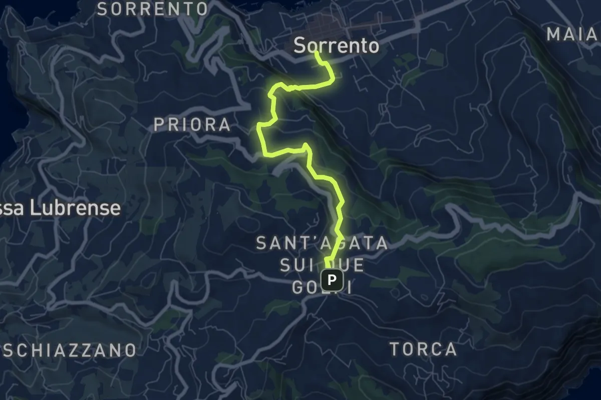
Medium · Trail
Itinerario 16
7.2 km · ↑ 379 m · 2 h 31 min · 5 km away
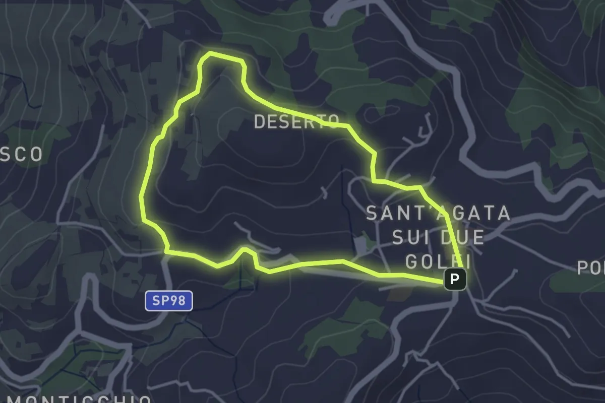
Easy · Summit
Itinerario 55
3.6 km · ↑ 89 m · 1 h 6 min · 5 km away
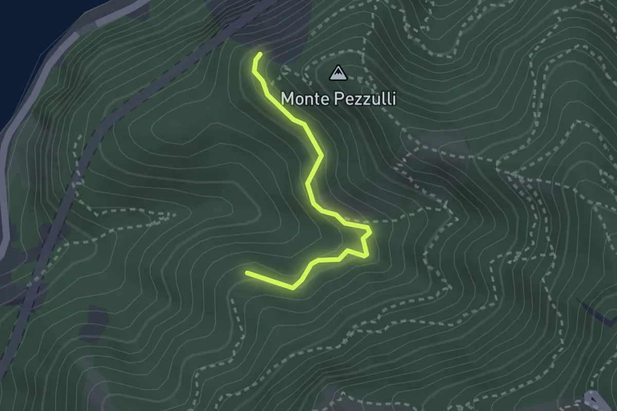
Easy · Trail
Sentiero della Sperlonga
2.4 km · ↑ 253 m · 1 h 7 min · 5 km away
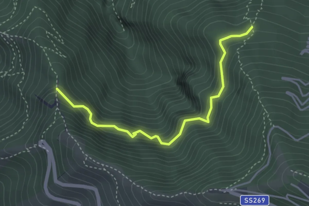
Medium · Trail
Sentiero della cisterna Menatora
3.9 km · ↑ 383 m · 1 h 45 min · 5 km away
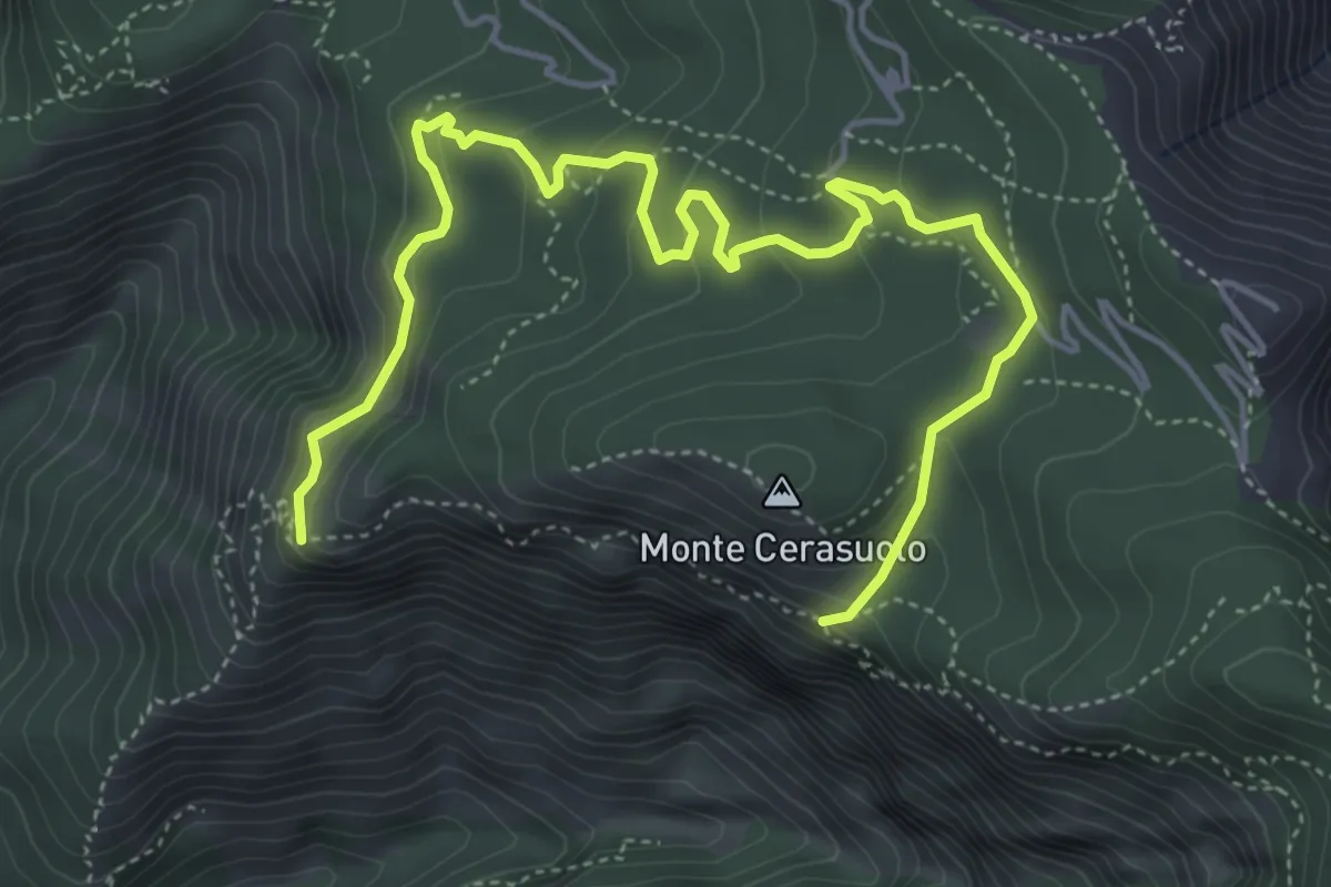
Medium · Trail
Sentiero dei faggi secolari
6.8 km · ↑ 437 m · 2 h 33 min · 5 km away
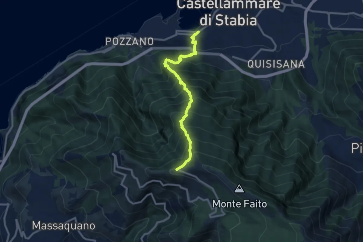
Demanding · Trail
'A casarella 'o monte
7.4 km · ↑ 1076 m · 4 h 5 min · 6 km away
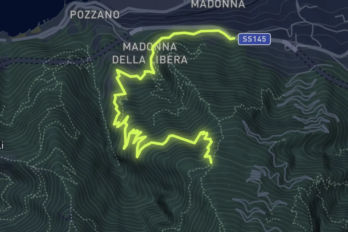
Demanding · Trail
Sentiero di Villa Notari
8.5 km · ↑ 811 m · 3 h 47 min · 6 km away
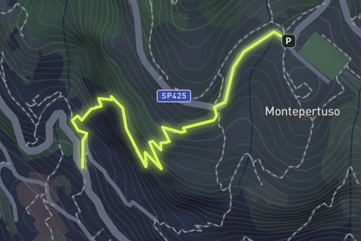
Medium · Trail
Località Montepertuso – Positano
2.3 km · ↑ 336 m · 1 h 17 min · 6 km away
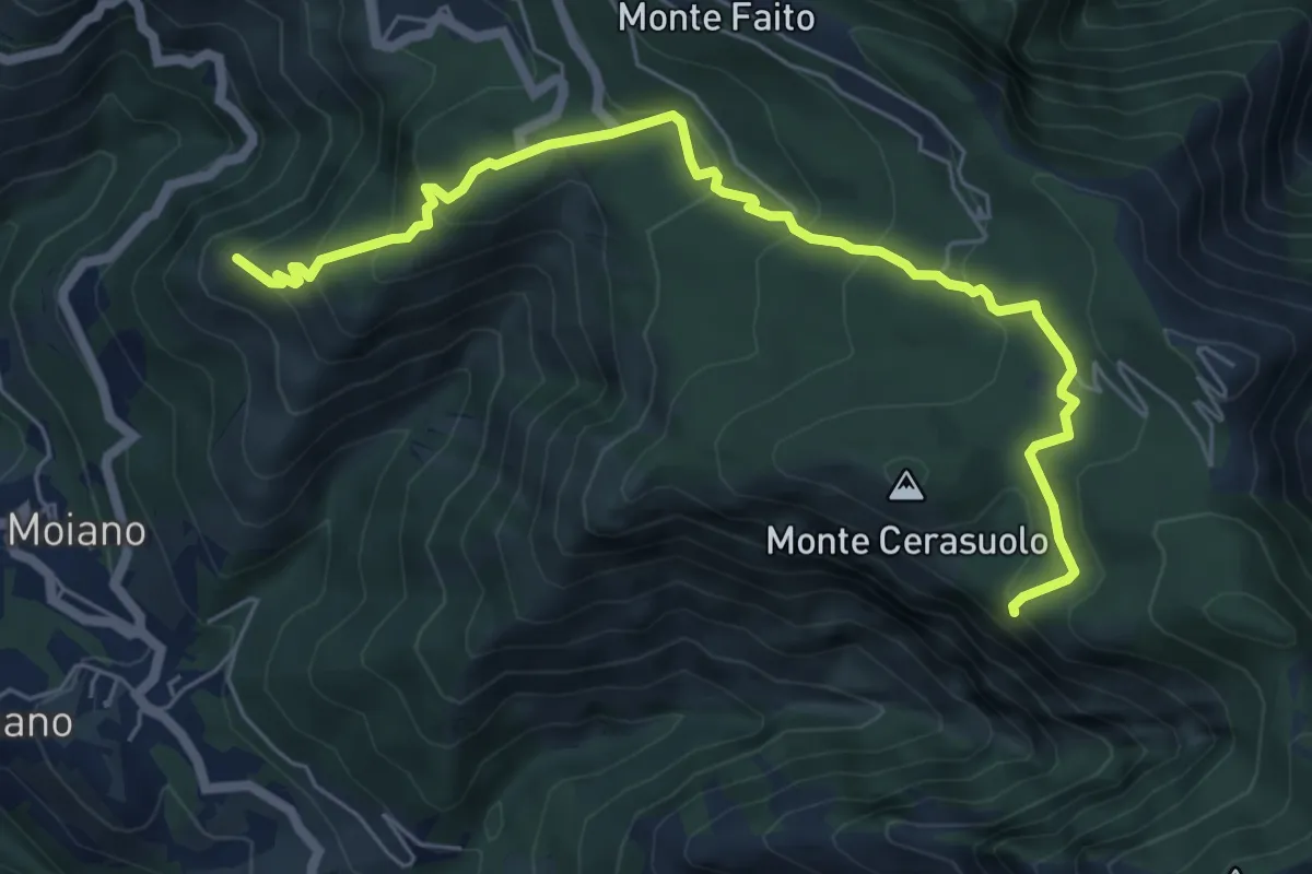
Expert · Summit
Moiano – incrocio 338
7.4 km · ↑ 486 m · 2 h 48 min · 6 km away
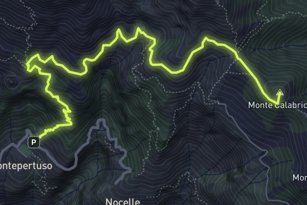
Expert · Summit
Sentiero alto degli dei
10.0 km · ↑ 1226 m · 5 h 1 min · 6 km away
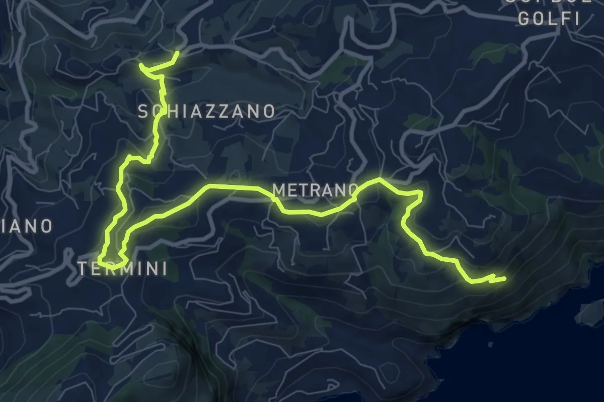
Medium · Trail
Variante Spina
11.9 km · ↑ 419 m · 3 h 43 min · 7 km away
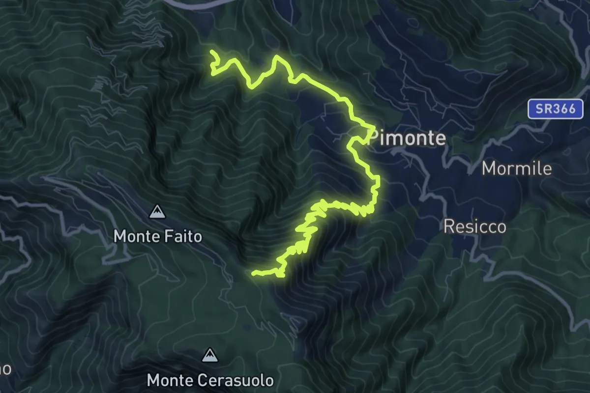
Demanding · Trail
Le tese di Pimonte
14.4 km · ↑ 1222 m · 6 h 3 min · 7 km away
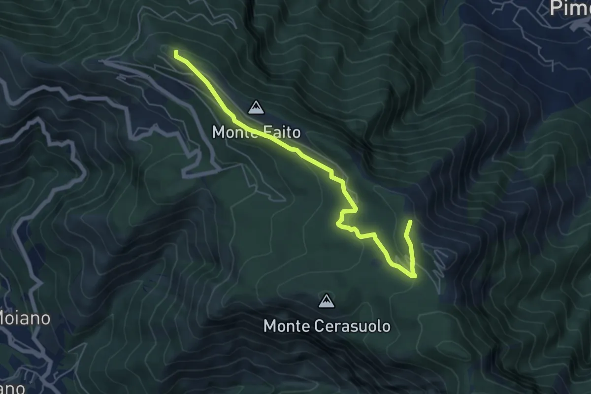
Easy · Trail
Piazzale della funivia – Cercasole
6.0 km · ↑ 251 m · 1 h 58 min · 7 km away
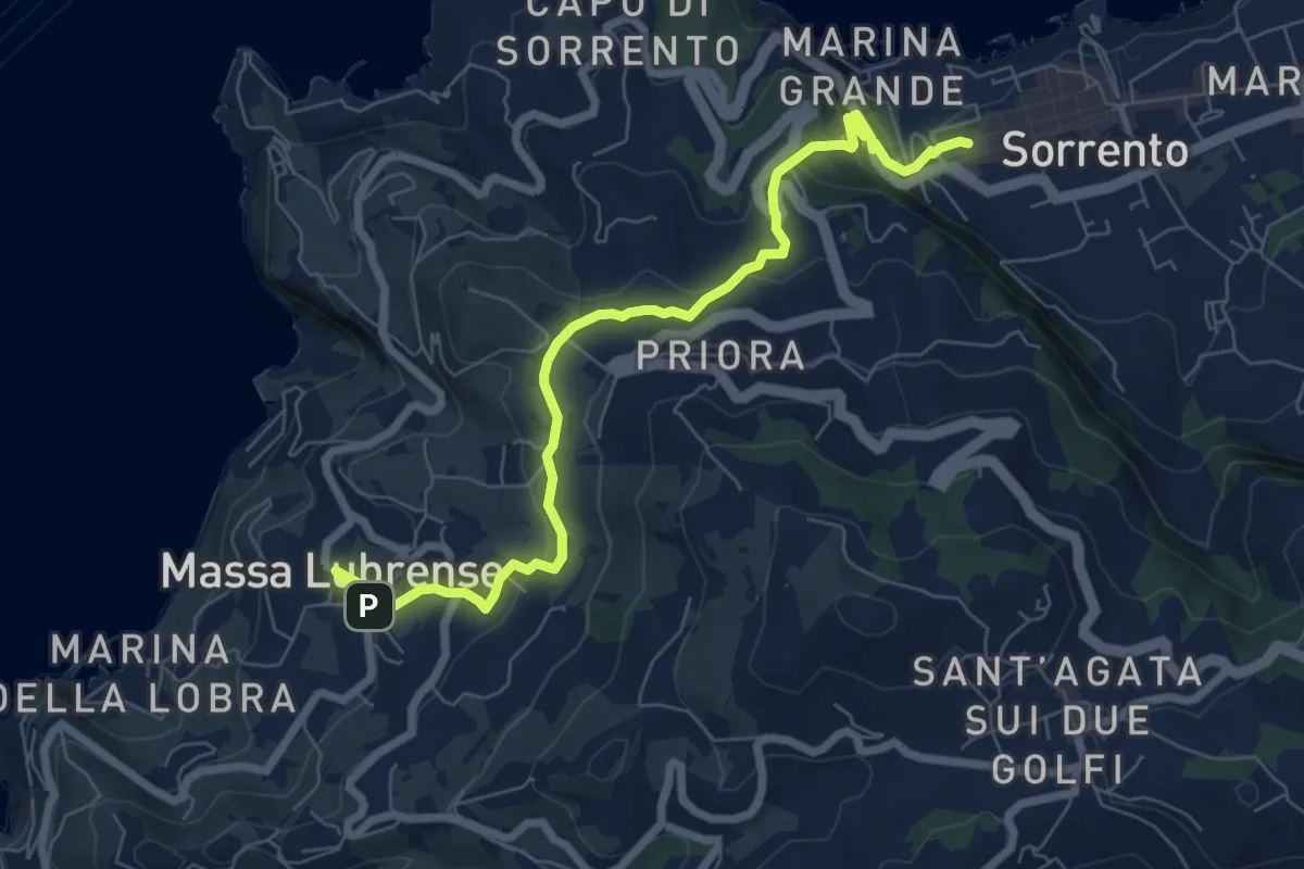
Medium · Trail
Itinerario 23
8.7 km · ↑ 298 m · 2 h 41 min · 7 km away
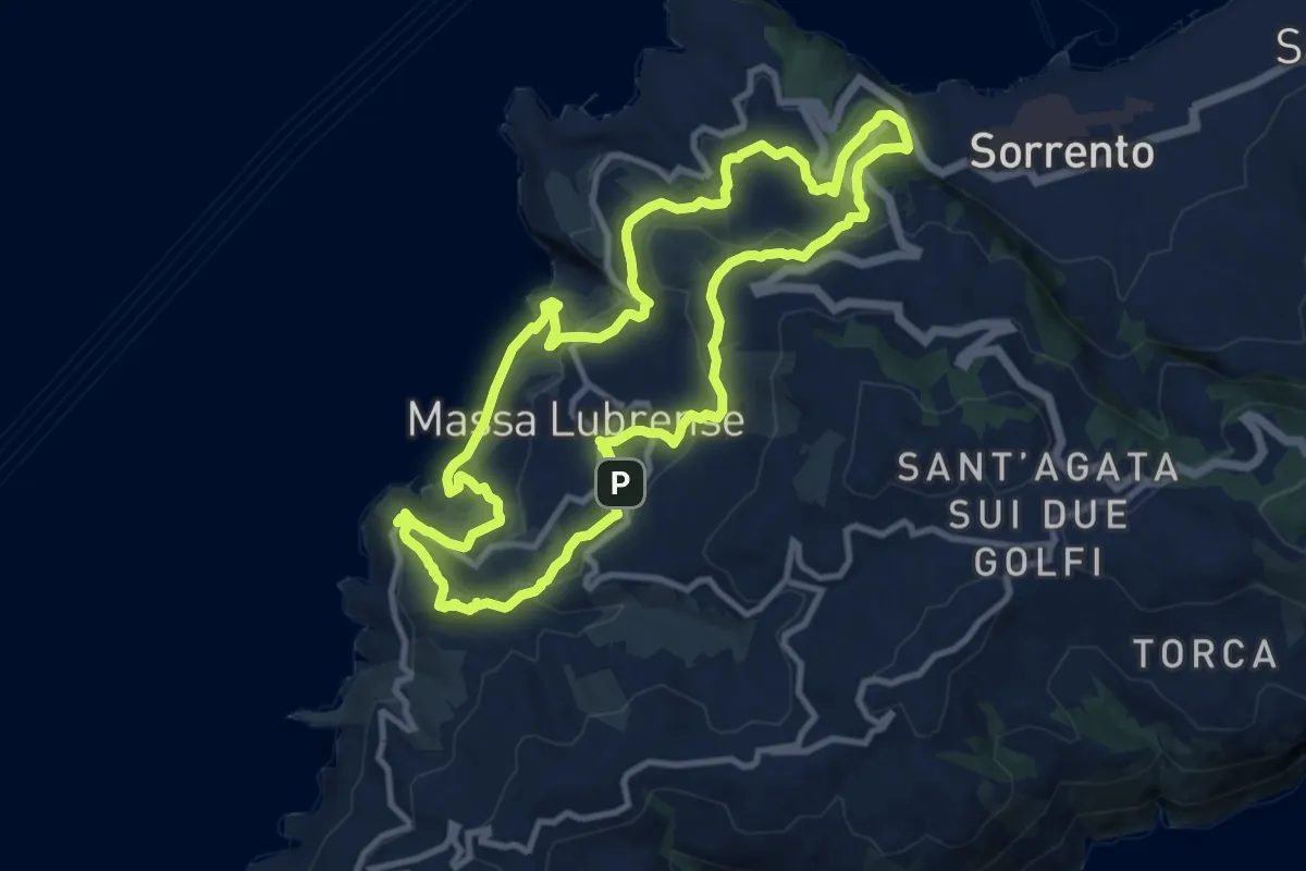
Demanding · Trail
Sentieri lubrensi
24.2 km · ↑ 982 m · 7 h 50 min · 7 km away
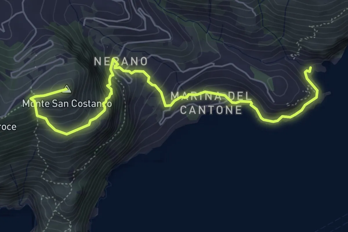
Medium · Summit
Alta Via dei Monti Lattari - 09
7.1 km · ↑ 607 m · 2 h 59 min · 8 km away
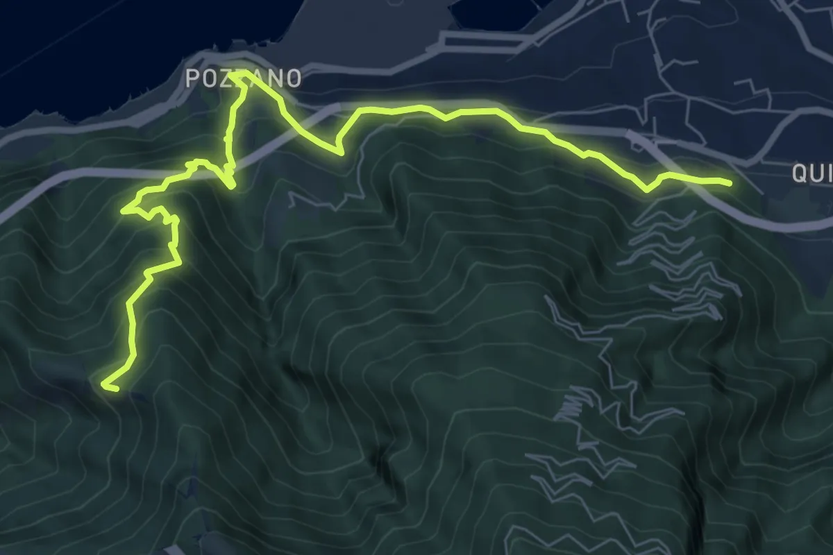
Medium · Trail
Quisisana – Capo d'Acqua (Innesto 336)
9.6 km · ↑ 795 m · 3 h 59 min · 8 km away
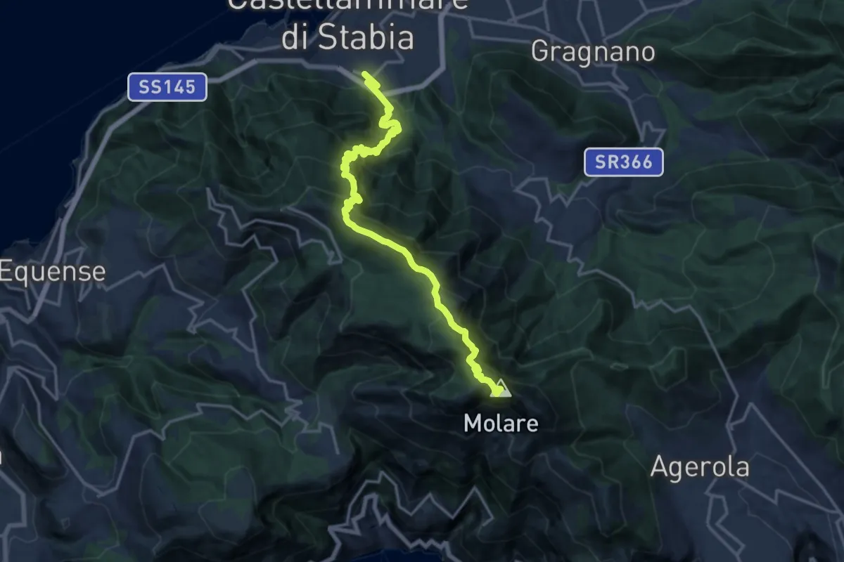
Expert · Summit
Sentiero dell'Angelo
17.3 km · ↑ 1681 m · 7 h 43 min · 8 km away
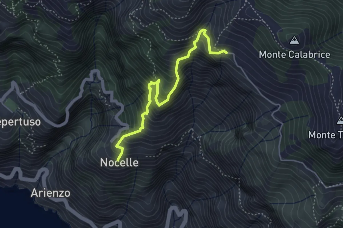
Medium · Trail
Paipo – Nocelle
4.3 km · ↑ 709 m · 2 h 34 min · 8 km away
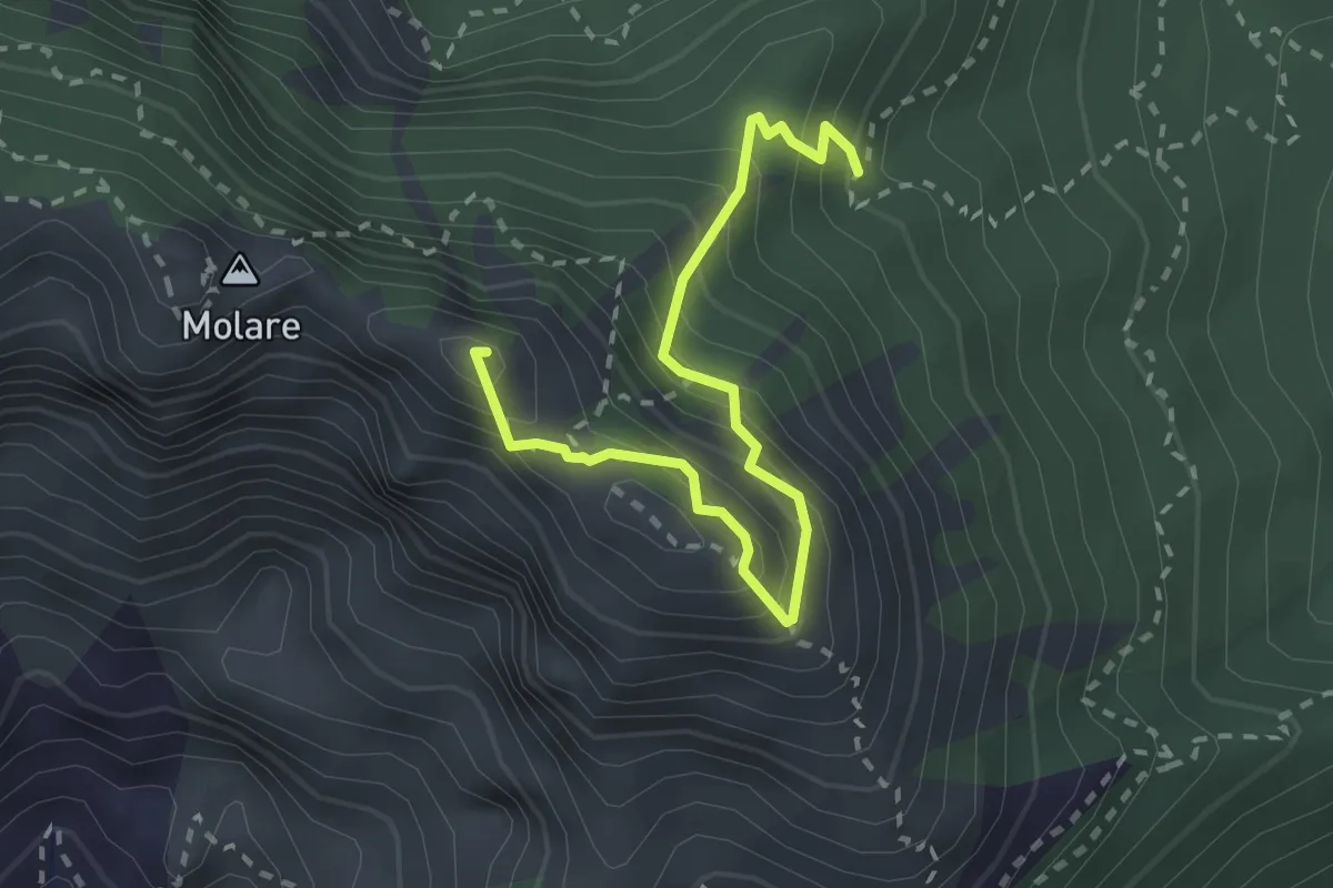
Expert · Summit
Capo Muro – Canino
3.0 km · ↑ 364 m · 1 h 29 min · 8 km away
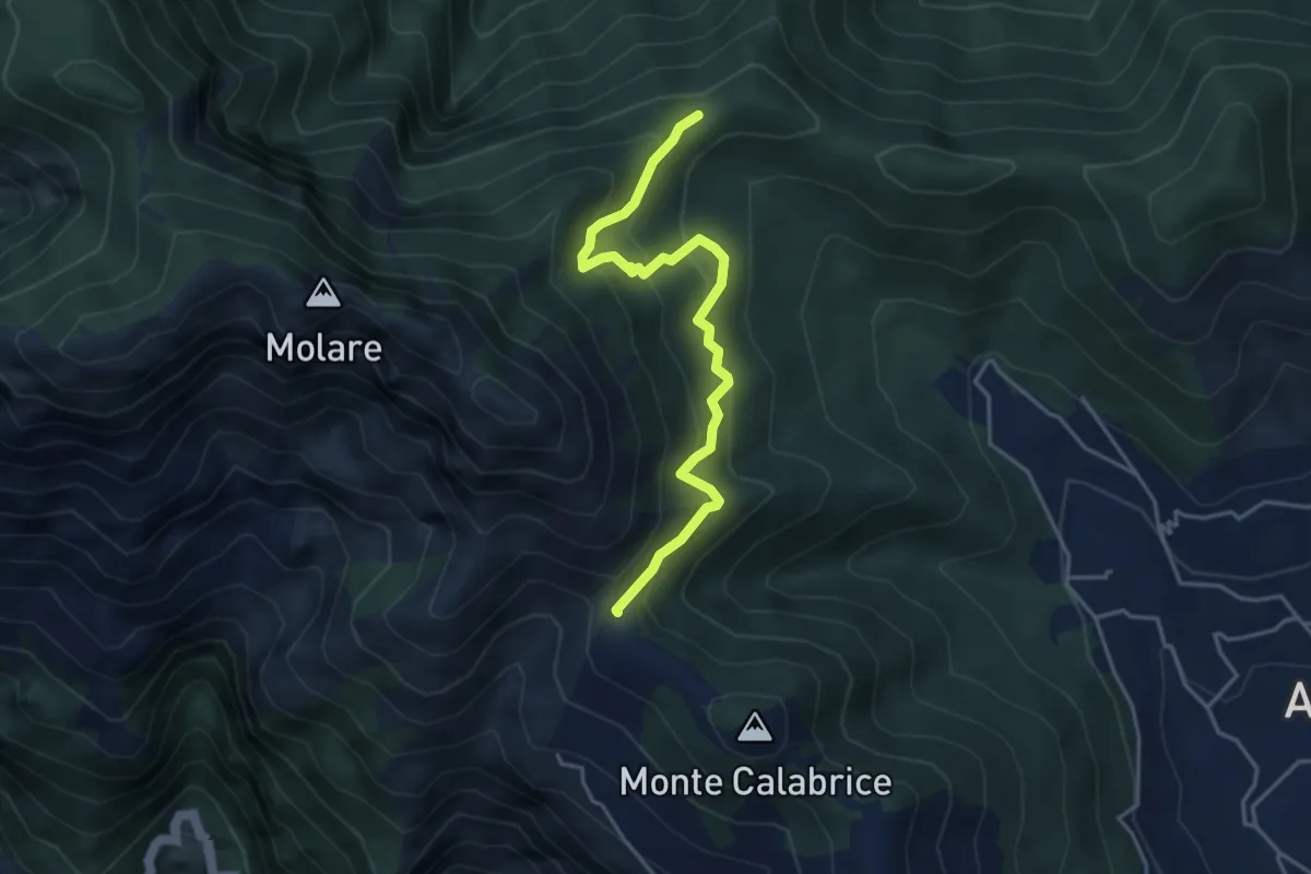
Medium · Summit
Capo Muro – Incrocio 300 Colle Garofalo
4.5 km · ↑ 476 m · 2 h 6 min · 9 km away
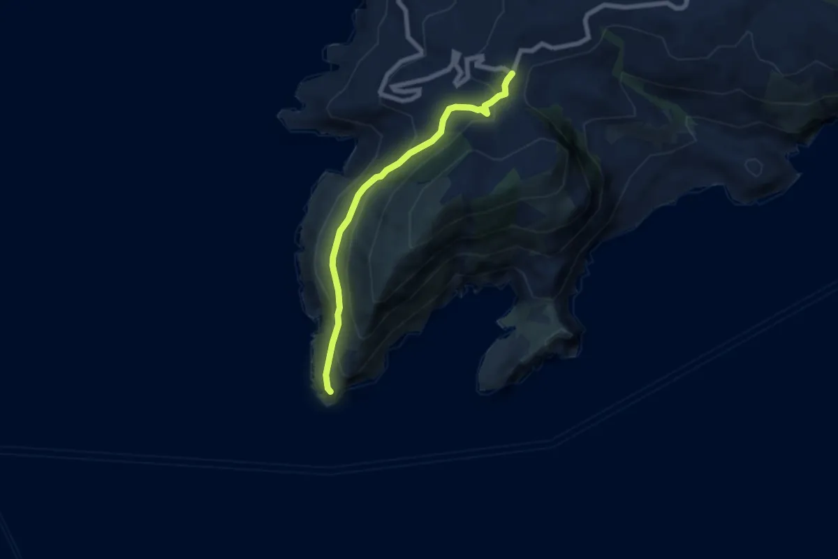
Medium · Trail
Alta Via dei Monti Lattari - 11
6.2 km · ↑ 348 m · 2 h 13 min · 9 km away
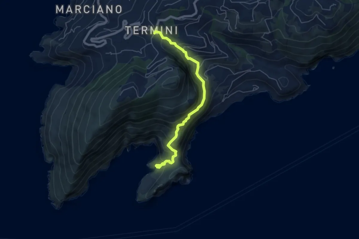
Medium · Trail
Sentiero della baia di Jeranto
5.7 km · ↑ 486 m · 2 h 24 min · 9 km away
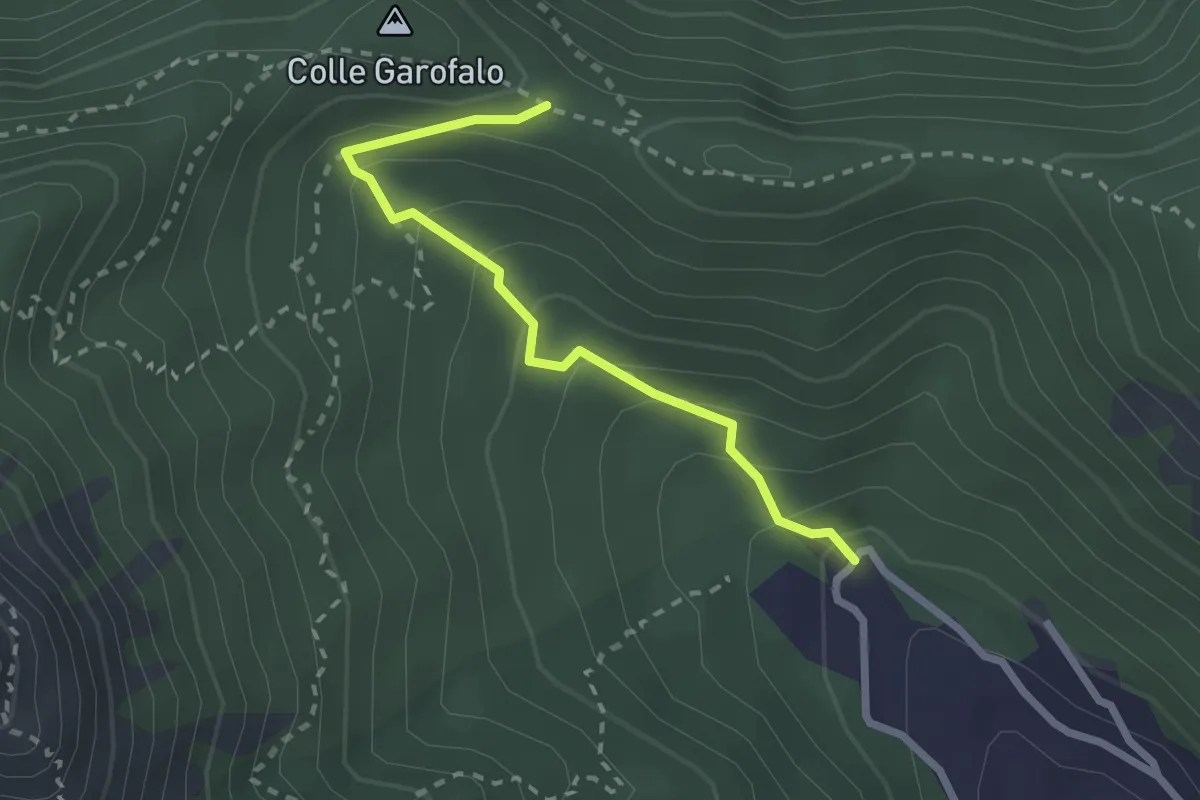
Medium · Trail
Mattatoio di Agerola – Crocella
2.6 km · ↑ 189 m · 1 h 1 min · 9 km away