Trails near Minturno
41 hikes starting within 15 km, nearest first.
Nearest first
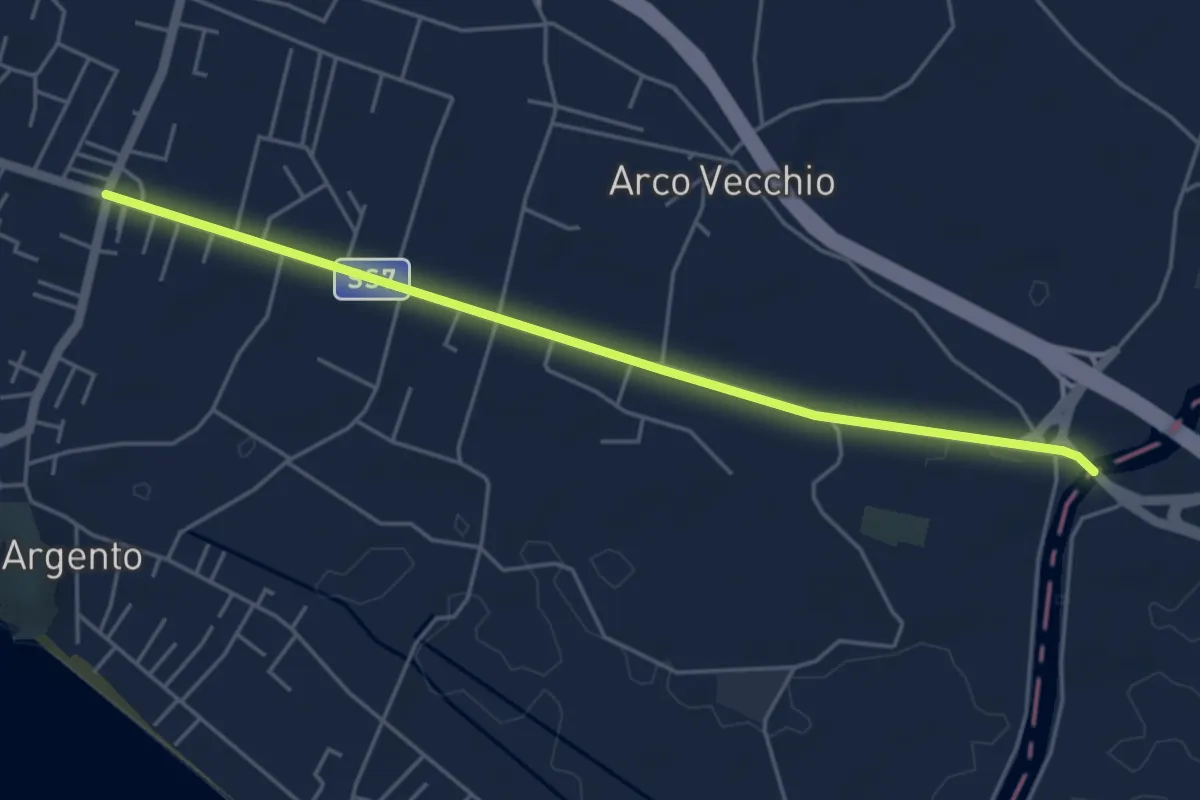
Easy · Pilgrim path
Via Francigena - 07 Lazio
2.7 km · ↑ 0 m · 41 min · 2 km away
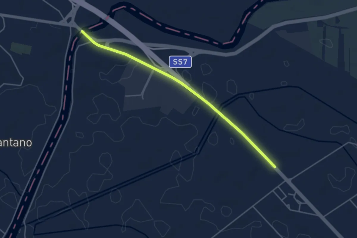
Easy · Pilgrim path
Via Francigena - 08 Campania
2.1 km · ↑ 0 m · 31 min · 5 km away
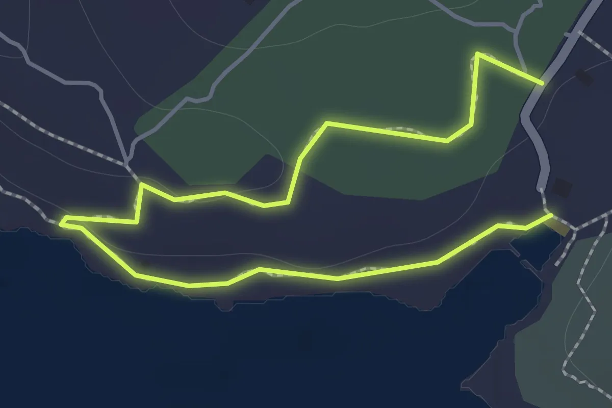
Easy · Trail
Via del Porticciolo Romano
1.1 km · ↑ 14 m · 18 min · 6 km away
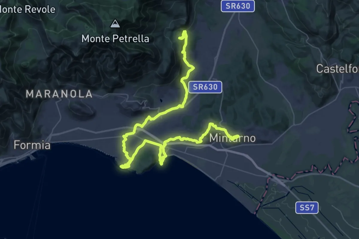
Demanding · Trail
Cammino degli Aurunci - Tappa 1
26.0 km · ↑ 385 m · 7 h 27 min · 7 km away
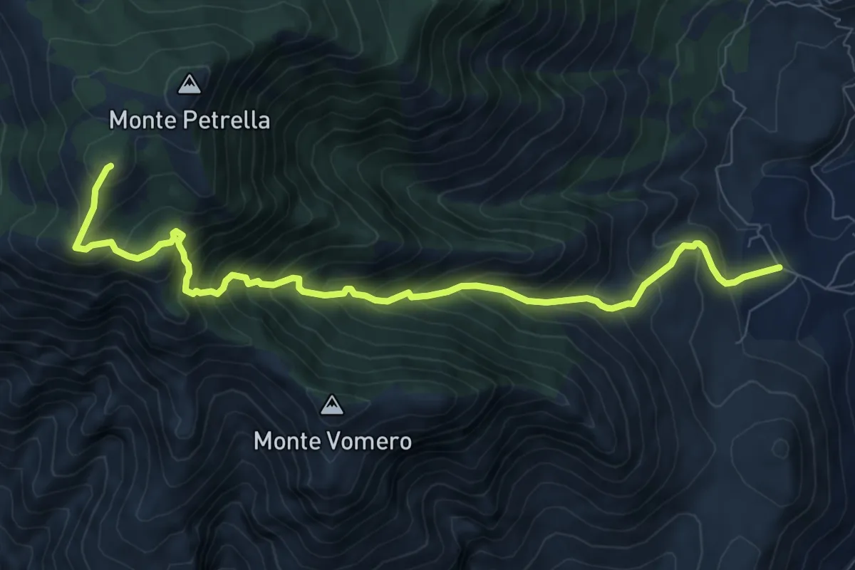
Demanding · Summit
Masseria Santilli-Monte Petrella
10.4 km · ↑ 1065 m · 4 h 46 min · 7 km away
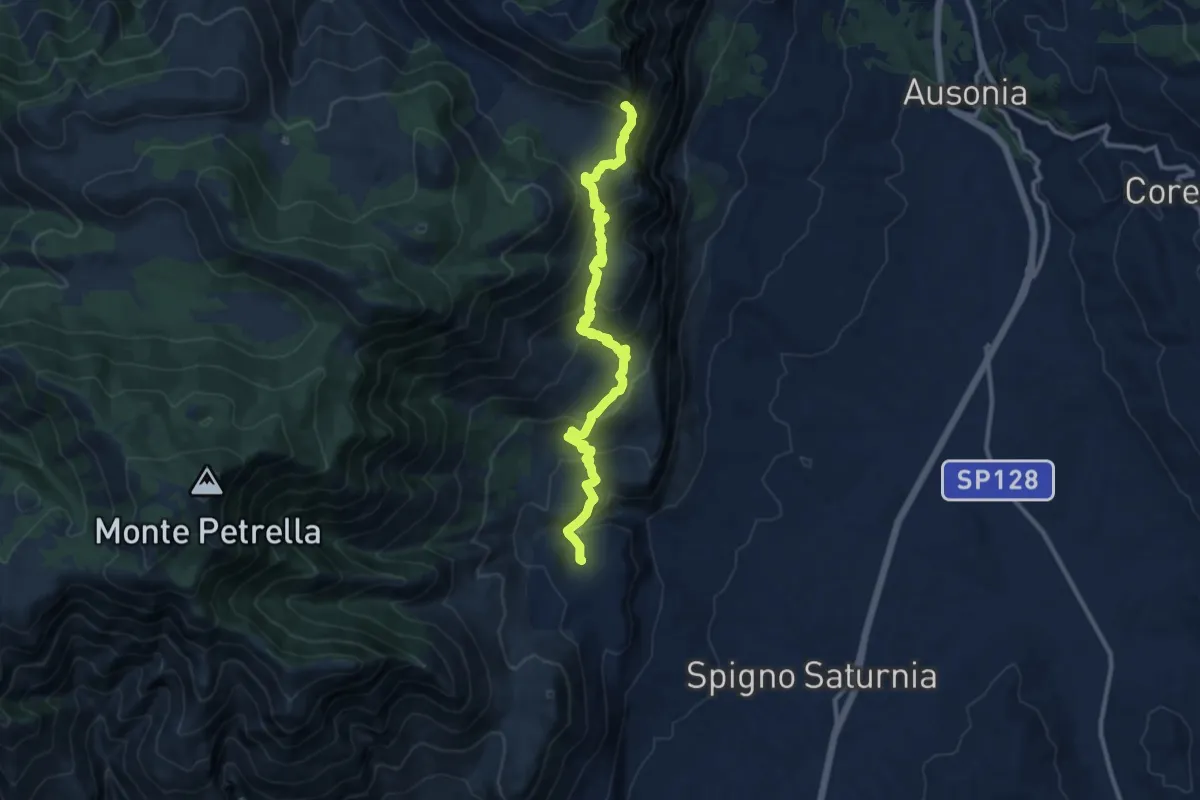
Demanding · Trail
Spigno Saturnia Vecchio-Monte Fammera
12.5 km · ↑ 729 m · 4 h 32 min · 7 km away
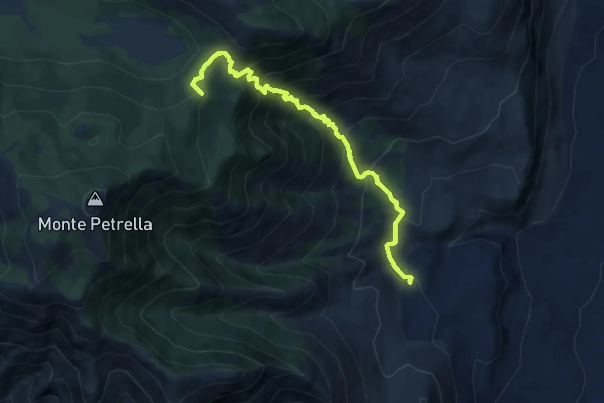
Demanding · Summit
Biviano-Monte Petrella
9.3 km · ↑ 881 m · 4 h 6 min · 7 km away
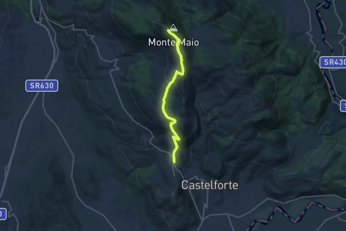
Medium · Summit
Località Ventosa-Monte Maio
13.1 km · ↑ 730 m · 4 h 40 min · 7 km away
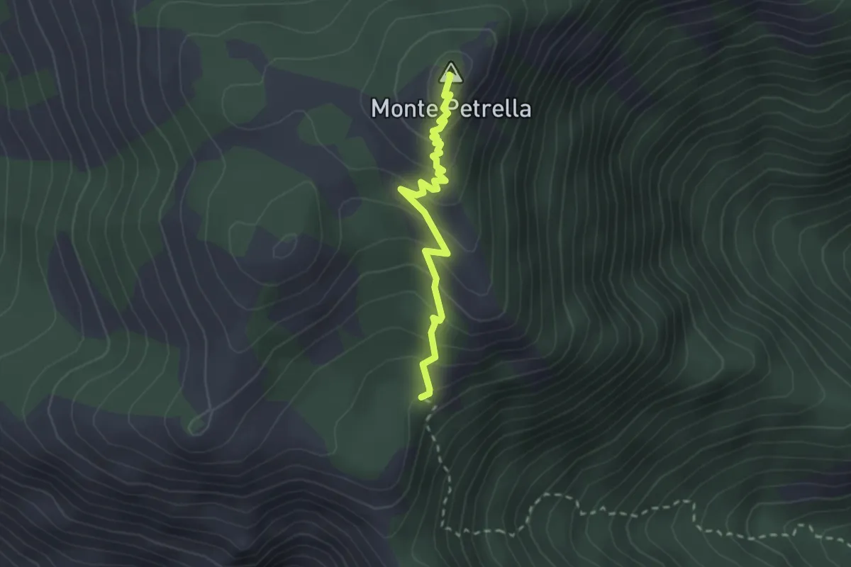
Easy · Summit
Collegamento Cese di Oglio - Monte petrella
2.5 km · ↑ 199 m · 1 h 1 min · 9 km away
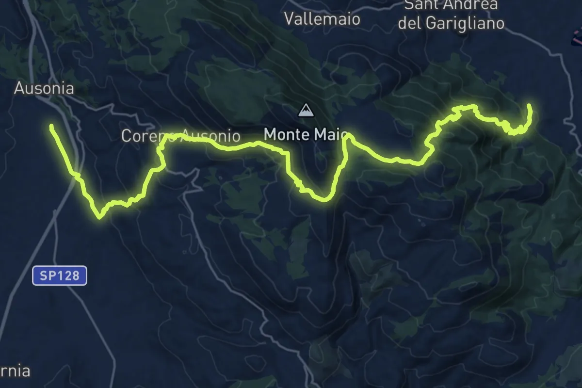
Medium · Pilgrim path
Cammino di San Filippo Neri - Tappa 3
16.4 km · ↑ 771 m · 5 h 46 min · 9 km away
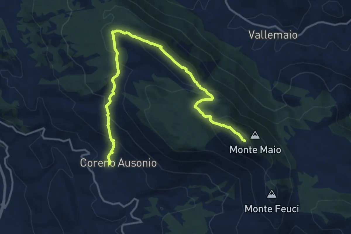
Medium · Summit
Coreno Ausonio-Costa Carosa-Monte Maio
12.8 km · ↑ 769 m · 4 h 42 min · 10 km away
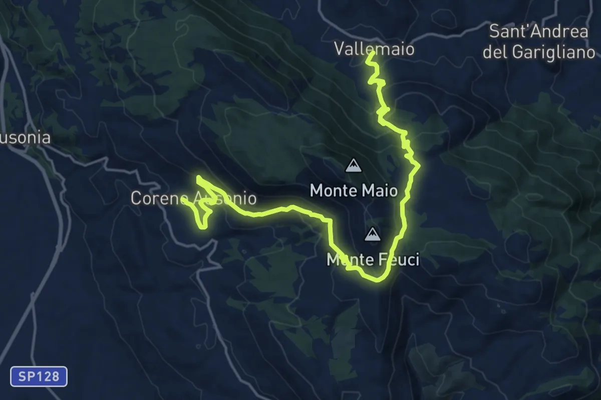
Demanding · Trail
Valle Maio-Coreno Ausonio
21.2 km · ↑ 909 m · 6 h 59 min · 10 km away
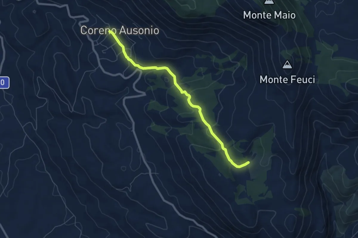
Easy · Trail
Coreno Ausonio-via Marinaranne
7.0 km · ↑ 218 m · 2 h 7 min · 10 km away
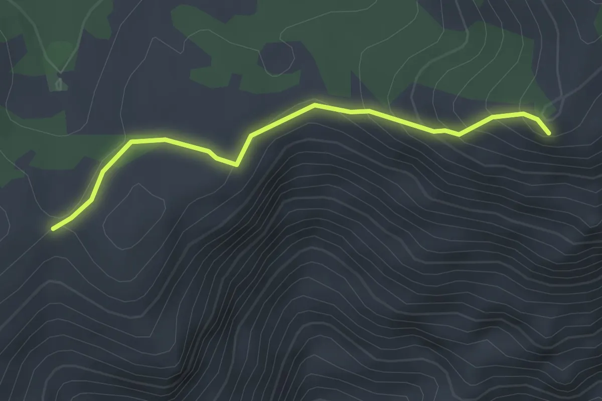
Easy · Summit
Sentiero CAI 962B – Monte Sant'Angelo
3.0 km · ↑ 168 m · 1 h 4 min · 10 km away
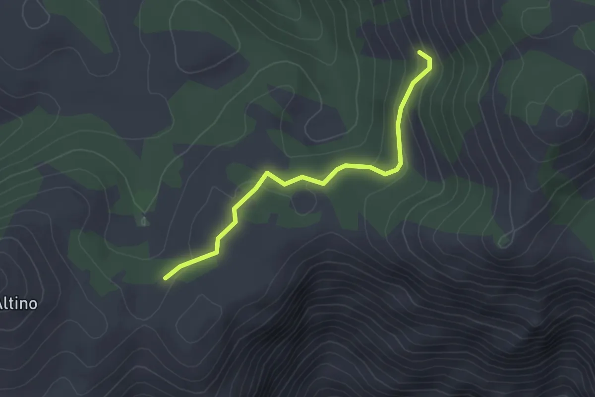
Easy · Cabin
CAI 962B (Loc. La Valliera) – Immissioni in CAI 915
3.1 km · ↑ 112 m · 58 min · 10 km away
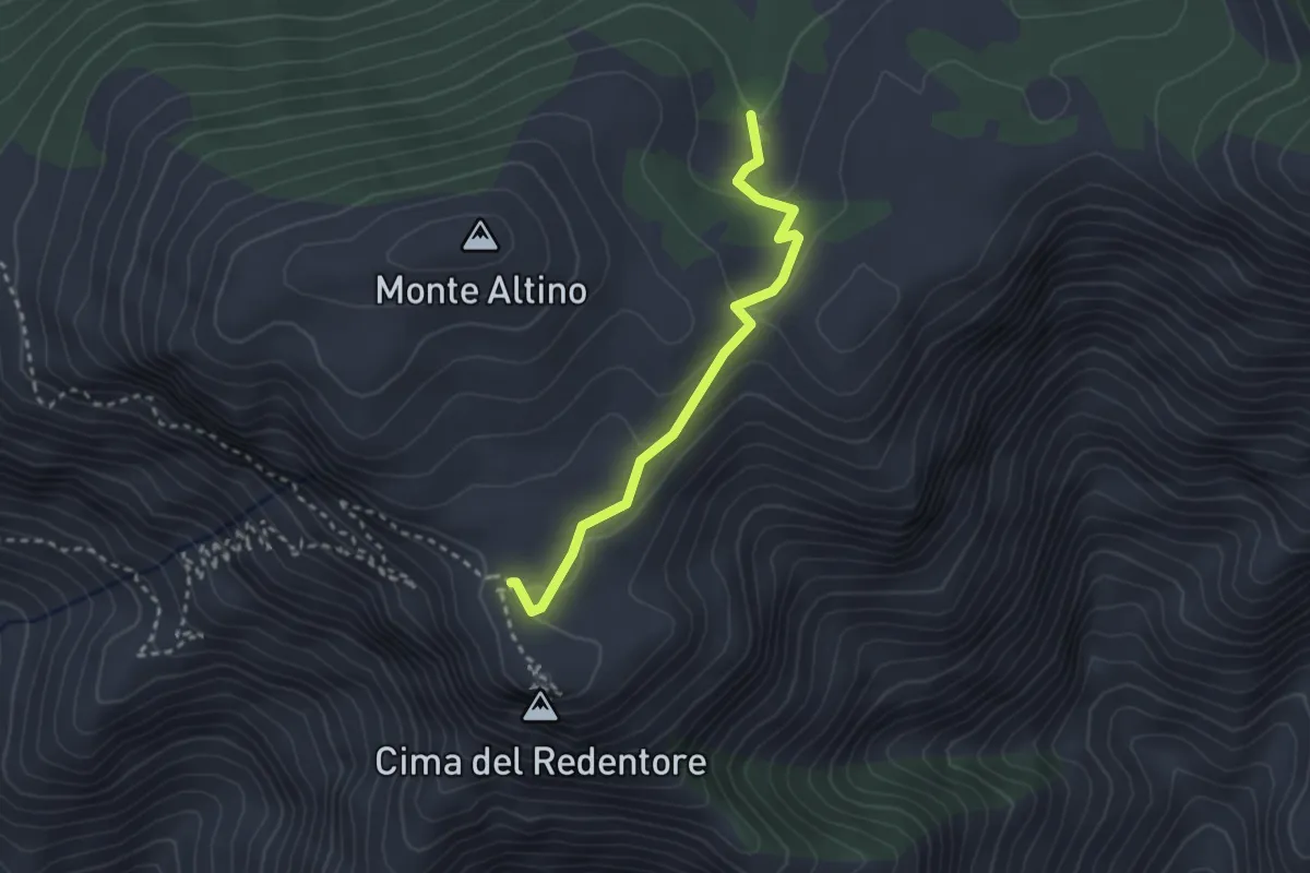
Easy · Trail
Area picnic Valliera – Incrocio con CAI 960
2.8 km · ↑ 84 m · 51 min · 10 km away
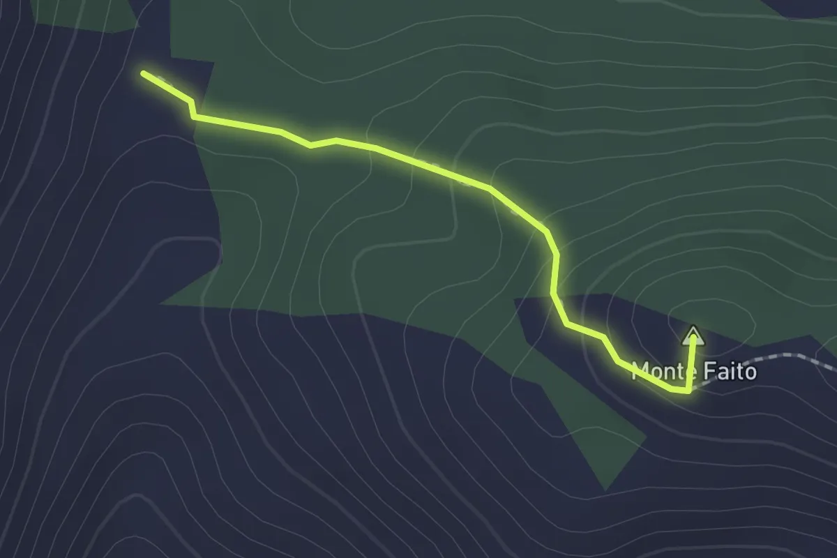
Easy · Summit
Loc. Termine (Coreno Ausonio)-Monte Ornito
1.7 km · ↑ 109 m · 39 min · 10 km away
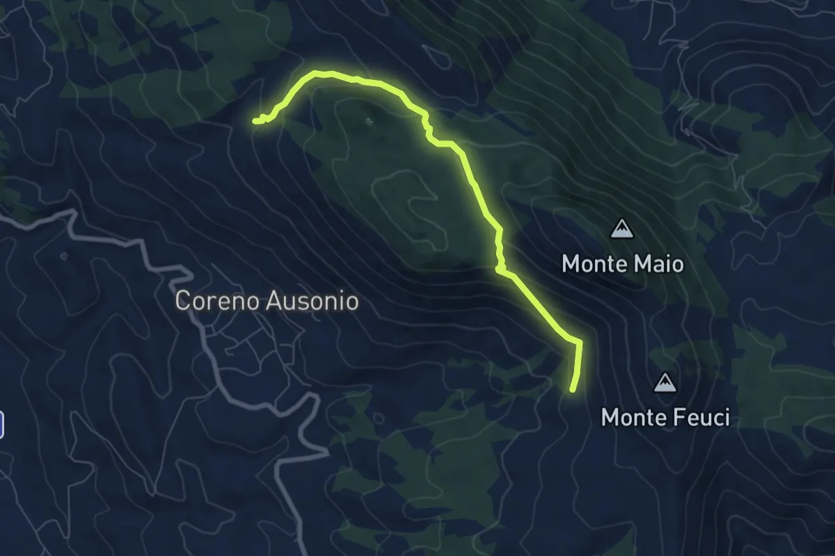
Medium · Trail
Collegamento La Matthia
7.5 km · ↑ 446 m · 2 h 44 min · 11 km away
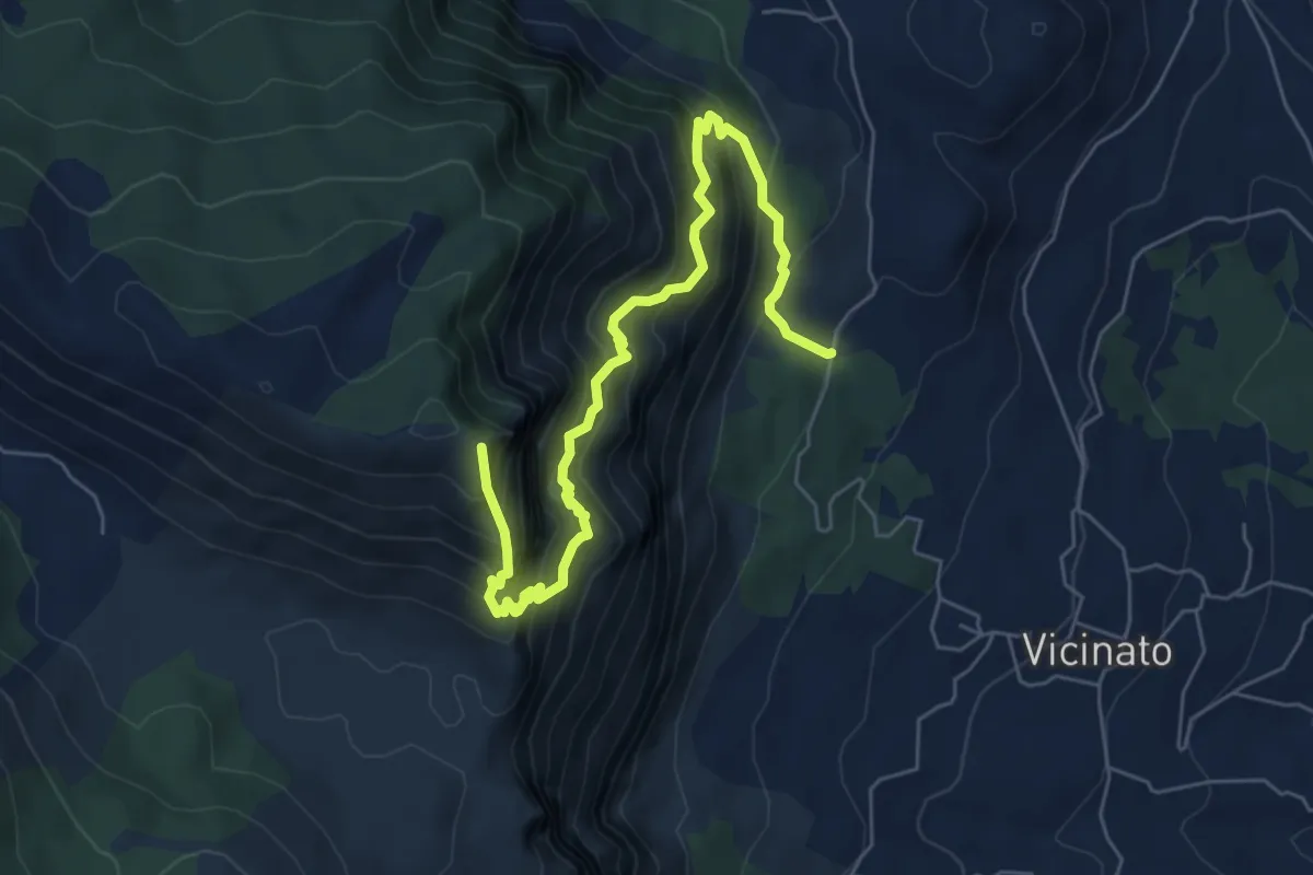
Demanding · Summit
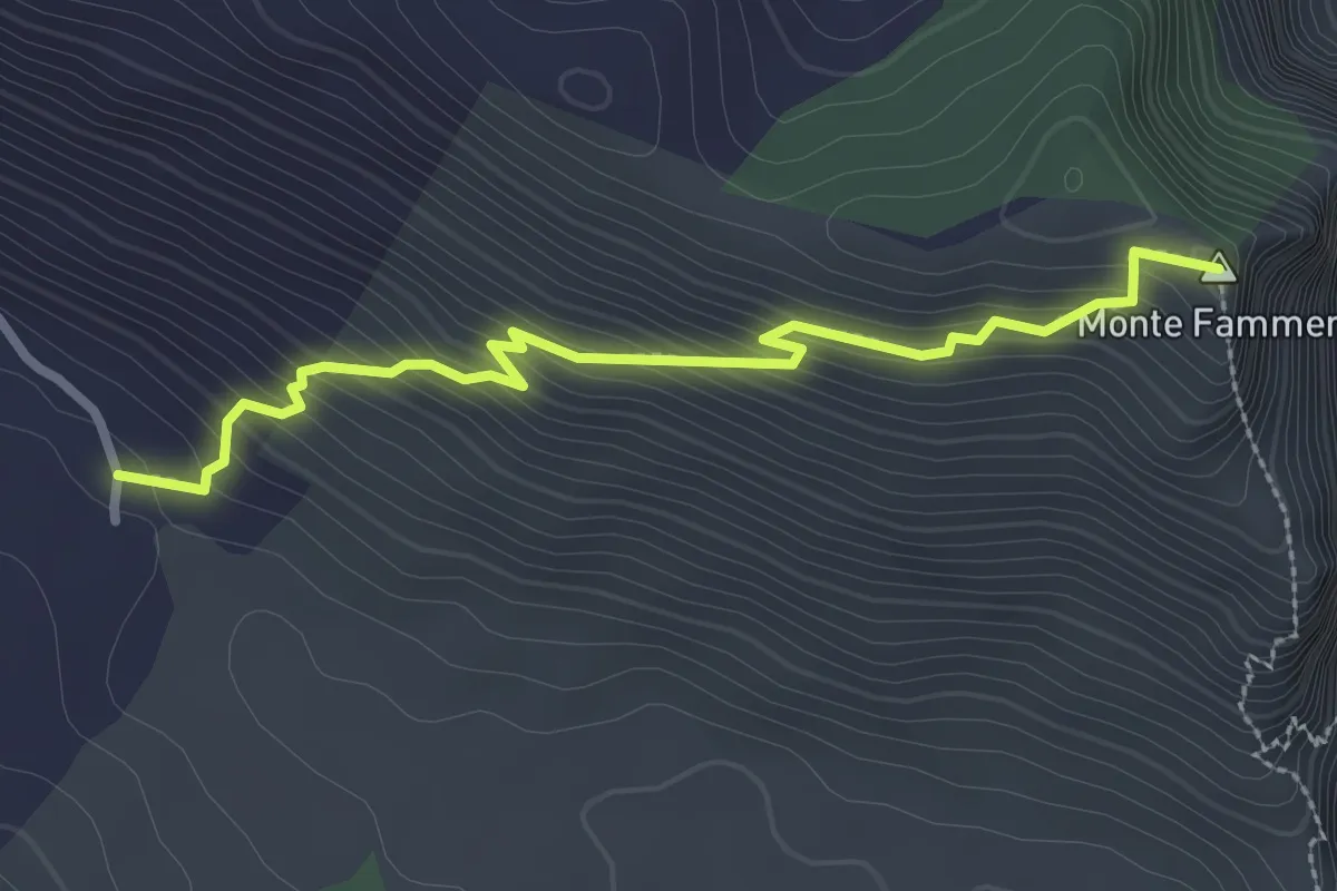
Selvacava-Monte Fammera
7.7 km · ↑ 1032 m · 4 h 3 min · 11 km away
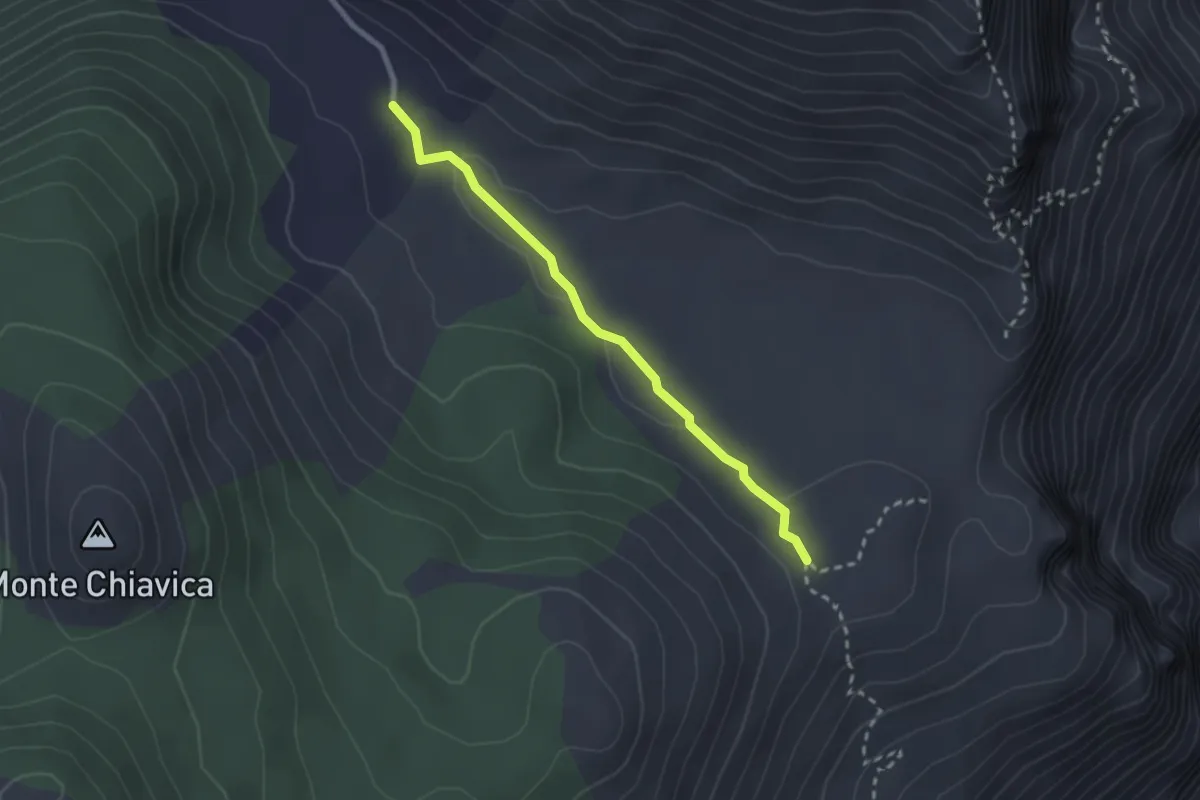
Easy · Trail
Valle Gaetana-Fammera di Spigno
2.6 km · ↑ 31 m · 40 min · 11 km away
Easy · Summit
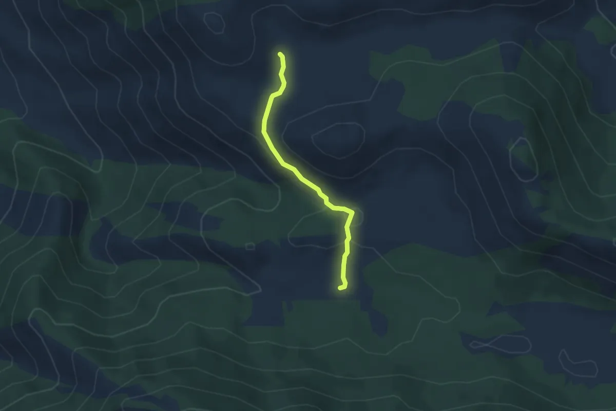
Valle Gaetana-Monte Fammera
3.1 km · ↑ 312 m · 1 h 24 min · 11 km away
Easy · Trail
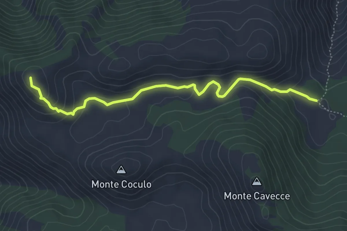
Cisterna Cupa-Campodivenza
3.3 km · ↑ 90 m · 58 min · 11 km away
Easy · Summit
Guado del Faggeto-Monte Belvedere
5.7 km · ↑ 213 m · 1 h 48 min · 12 km away
Medium · Summit
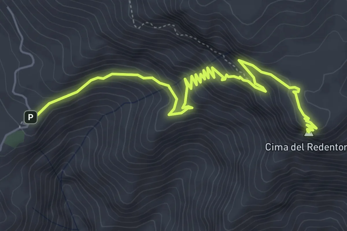
Rifugio di Pornito-Cima del Redentore
7.2 km · ↑ 553 m · 2 h 54 min · 12 km away
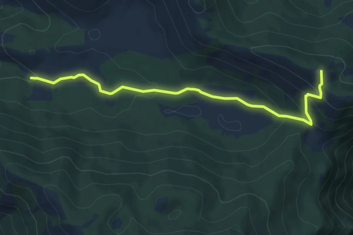
Easy · Summit
Cisterna Cupa-Monte Forte
6.9 km · ↑ 297 m · 2 h 17 min · 12 km away
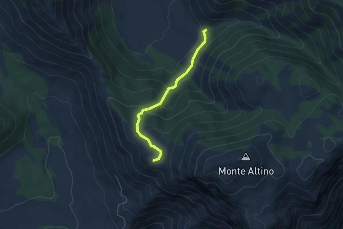
Easy · Summit
Collegamento tra valli Rifugio Pornito-Fraile
4.3 km · ↑ 225 m · 1 h 30 min · 12 km away
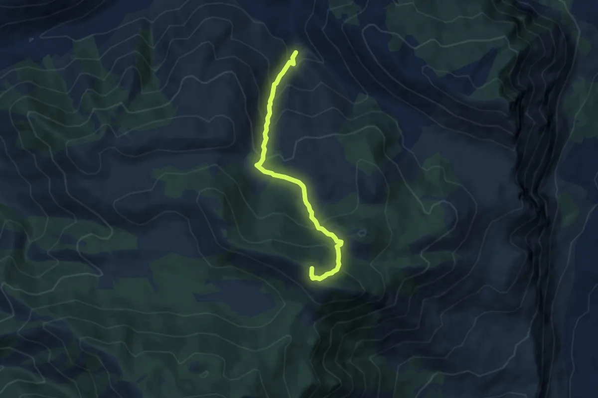
Medium · Summit
Contrada Tasso-Monte Forte
8.2 km · ↑ 615 m · 3 h 16 min · 13 km away
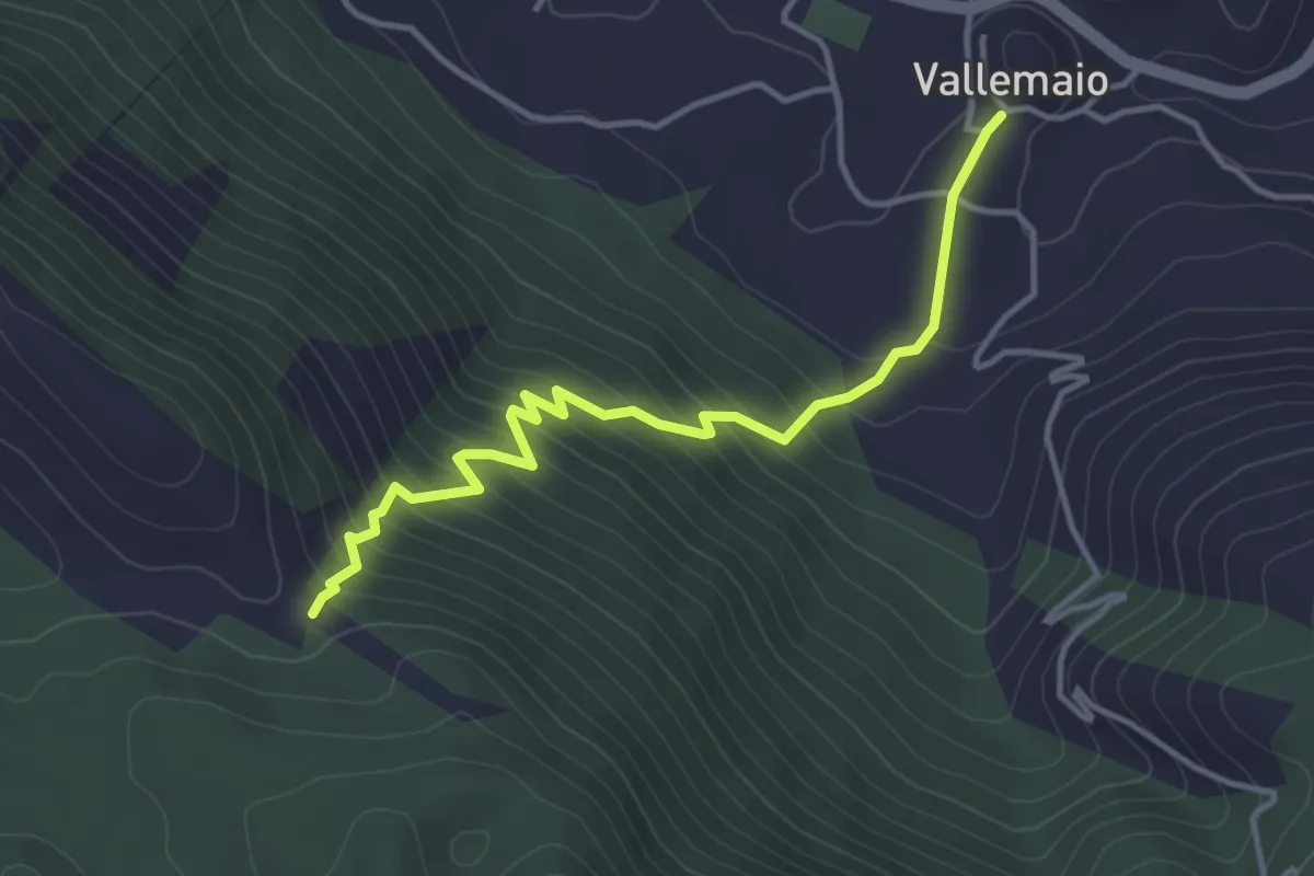
Medium · Trail
Vallemaio-Monte Maio
4.4 km · ↑ 391 m · 1 h 53 min · 13 km away
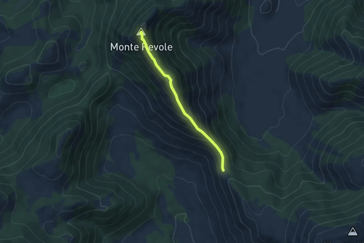
Easy · Summit
Forcella di Fraile-Monte Revole
4.5 km · ↑ 289 m · 1 h 41 min · 13 km away
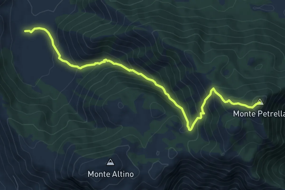
Medium · Summit
Fraile-Monte Petrella
11.0 km · ↑ 752 m · 4 h 13 min · 13 km away
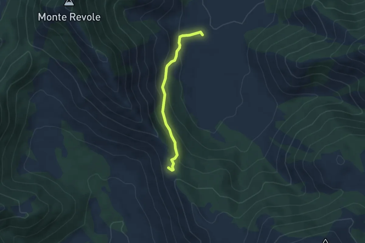
Easy · Trail
Piana di Polleca-Forcella del Fraile
3.9 km · ↑ 216 m · 1 h 23 min · 13 km away
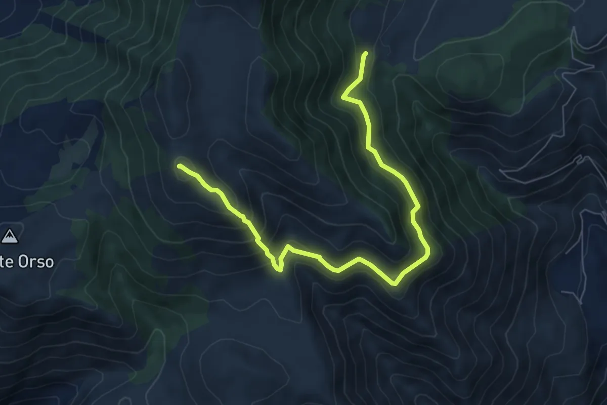
Demanding · Summit
Rifugio Acquaviva-Monte Tuonaco per Piano Terruto
8.2 km · ↑ 634 m · 3 h 19 min · 13 km away
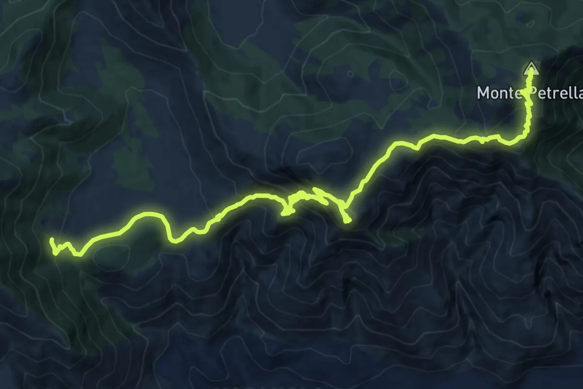
Demanding · Summit
Cammino degli Aurunci - Tappa 2
22.7 km · ↑ 1217 m · 7 h 59 min · 13 km away
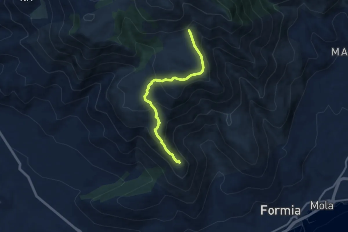
Demanding · Summit
Inizio Chiesa Santa Maria la Noce – Percorso 955
7.6 km · ↑ 376 m · 2 h 36 min · 14 km away
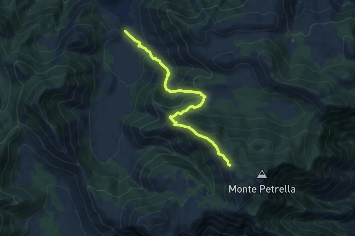
Demanding · Trail
Polleca-Monte Petrella
12.0 km · ↑ 822 m · 4 h 37 min · 14 km away
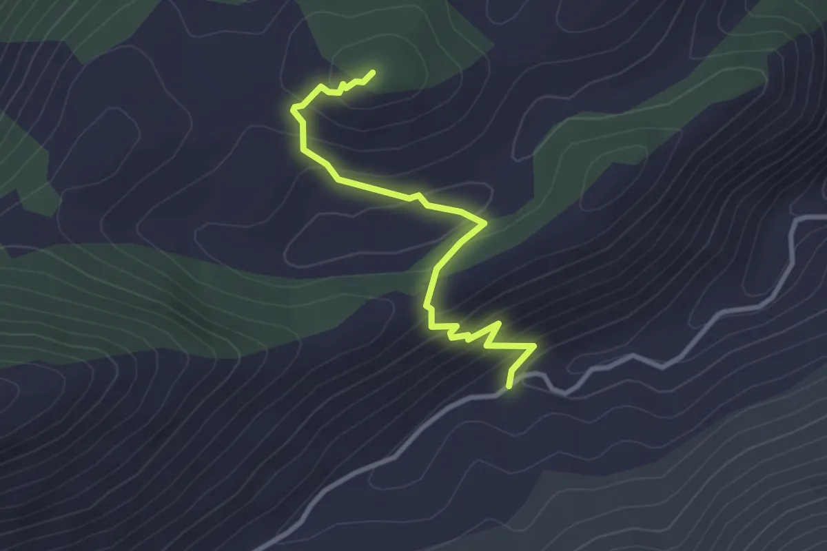
Easy · Trail
Rio Polleca-Monte Lago
3.1 km · ↑ 243 m · 1 h 16 min · 14 km away
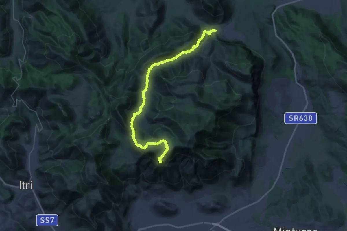
Demanding · Summit
Cammino di San Filippo Neri - Tappa 5
16.4 km · ↑ 1004 m · 5 h 52 min · 15 km away
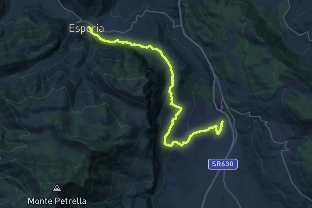
Medium · Pilgrim path
Cammino di San Filippo Neri - Tappa 4
12.2 km · ↑ 203 m · 3 h 38 min · 15 km away
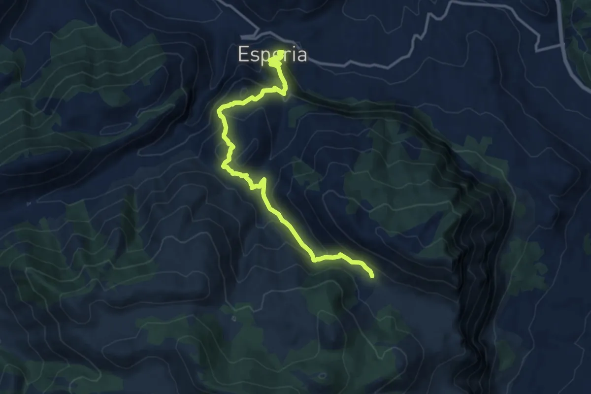
Medium · Trail
Esperia – Valle Gaetana CAI970
12.8 km · ↑ 748 m · 4 h 38 min · 15 km away
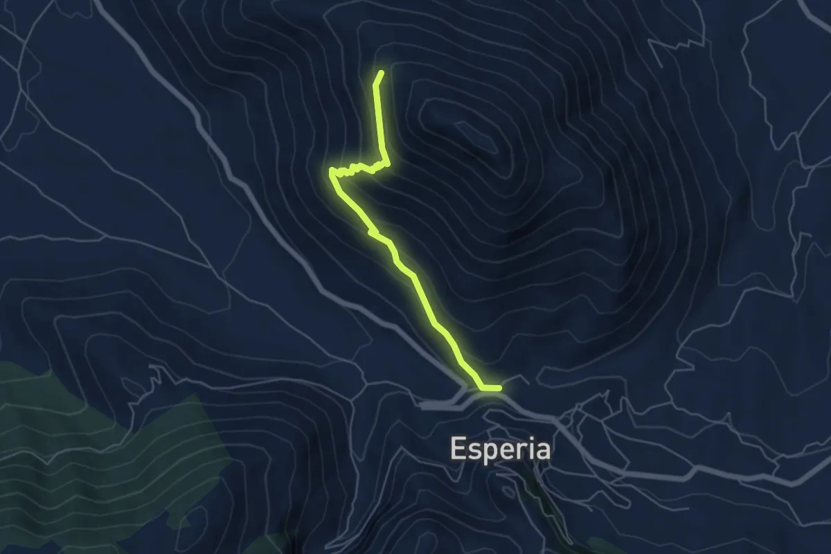
Medium · Trail
Esperia – Monte D'Oro (intersezione con CAI966)
5.2 km · ↑ 354 m · 2 h · 15 km away
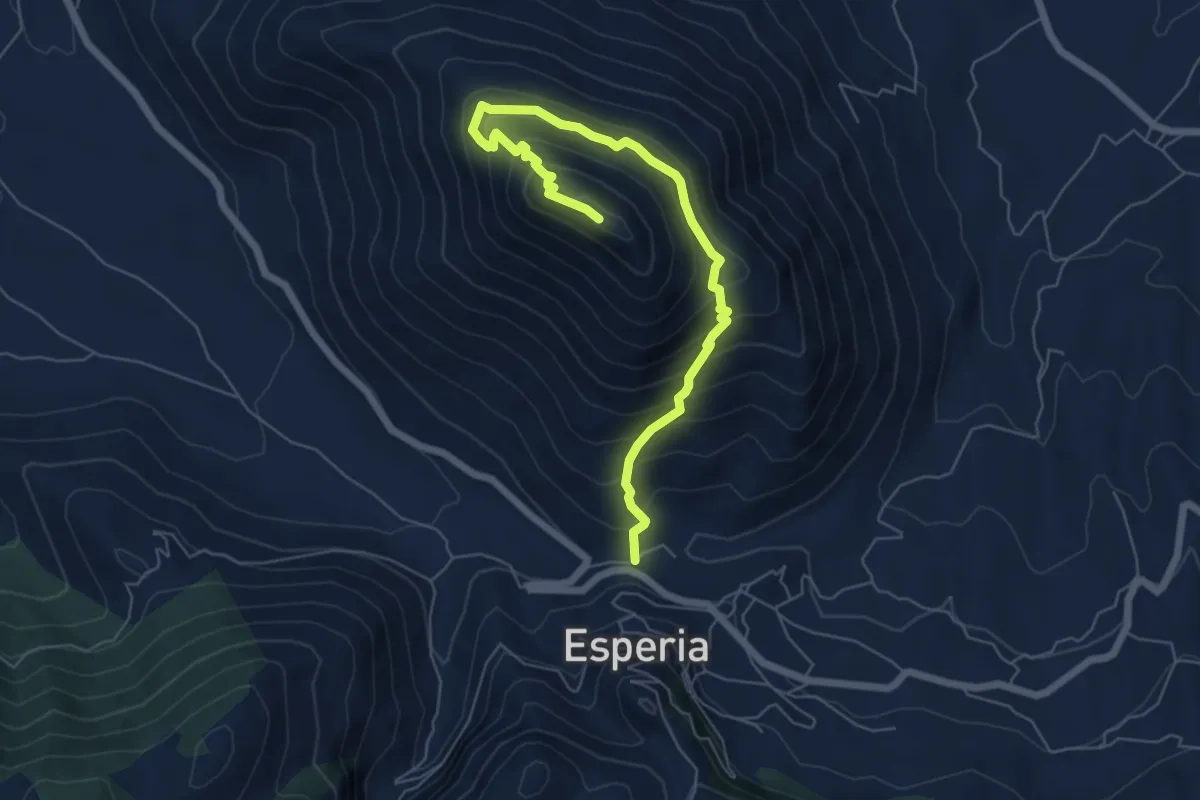
Medium · Trail
Esperia-Monte D'Oro
7.5 km · ↑ 643 m · 3 h 10 min · 15 km away