Trails near Monfalcone
51 hikes starting within 15 km, nearest first.
Nearest first, page 1 of 2
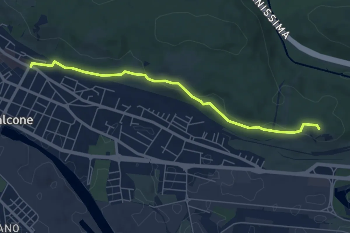
Easy · Summit
Monfalcone (quota 23 m) – Monfalcone – Lisert Archi raccordo sentiero n. 81 (quota 25 m)
5.2 km · ↑ 106 m · 1 h 28 min · under 1 km away
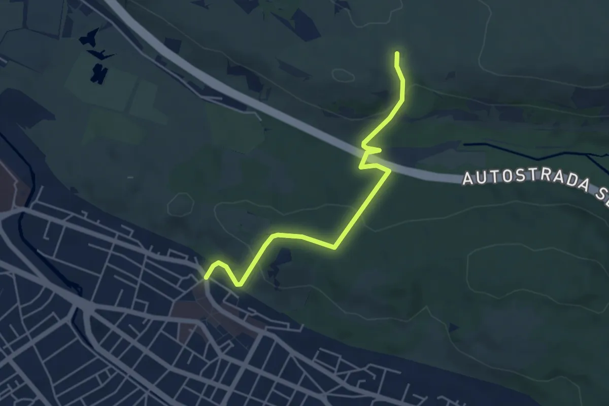
Easy · Trail
Monfalcone (quota 25 m) – Sella Monte Cosici e Monte Deboli (quota 65 m)
4.5 km · ↑ 149 m · 1 h 23 min · 1 km away
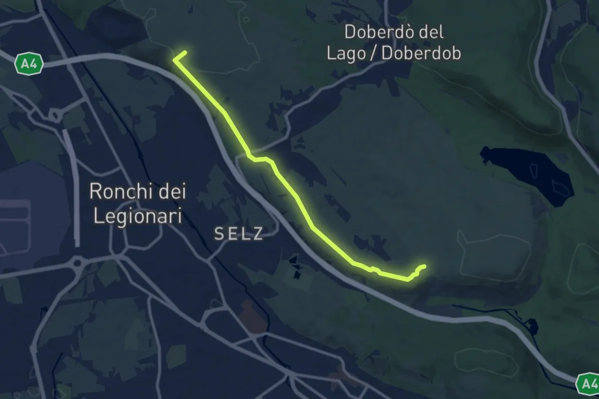
Medium · Summit
Redipuglia (quota 25 m) – Sella Monte Cosici e Monte Debeli (quota 65 m)
8.6 km · ↑ 150 m · 2 h 22 min · 2 km away
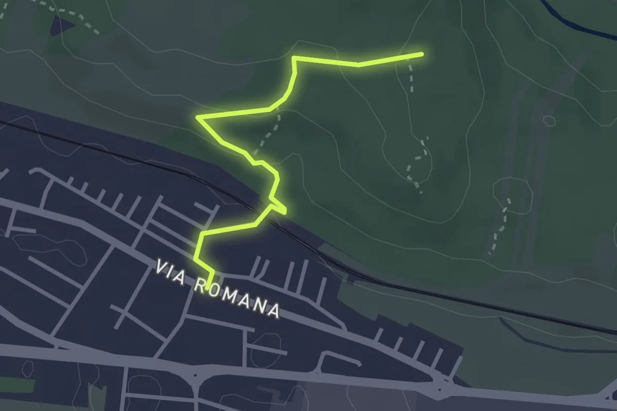
Easy · Trail
Monfalcone – Via Romana (quota 10 m) – Bivio sentiero 78 (quota 83 m)
2.7 km · ↑ 79 m · 48 min · 2 km away
Medium · Summit
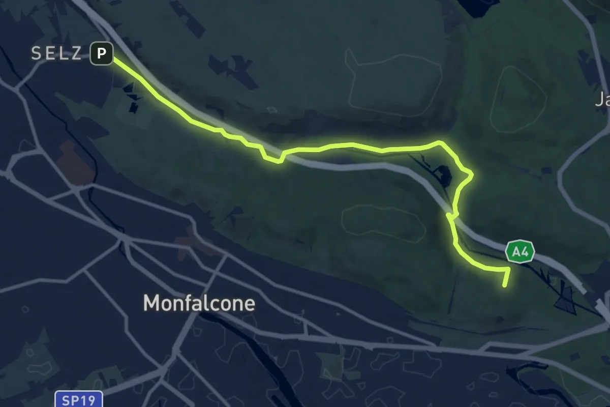
Ronchi dei Legionari – Cave di Selz (quota 10 m) – Monfalcone – Lisert Ponte degli Archi (quota 25 m)
10.5 km · ↑ 63 m · 2 h 37 min · 2 km away
Demanding · Summit
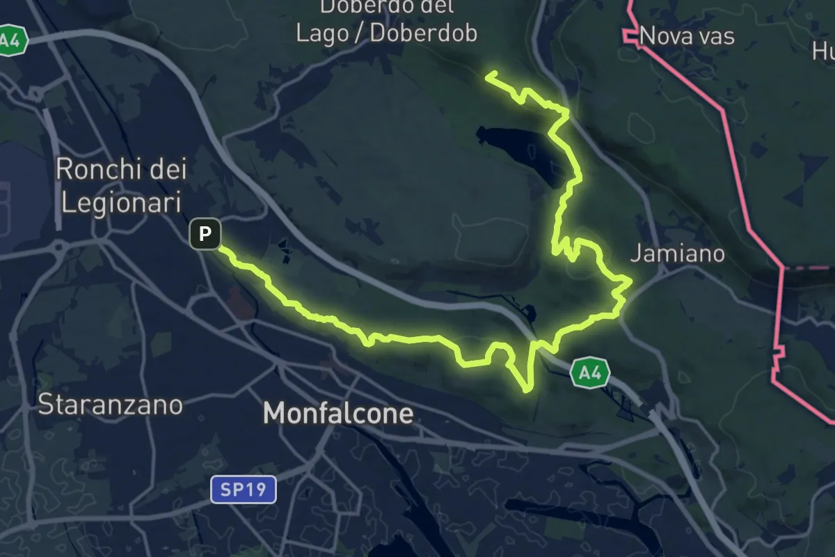
Sentiero dei castellieri
24.0 km · ↑ 664 m · 7 h 6 min · 2 km away
Easy · Trail
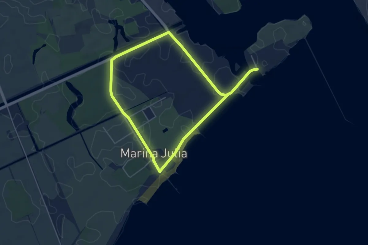
Litorale Isontino
7.7 km · ↑ 8 m · 1 h 51 min · 3 km away
Demanding · Trail
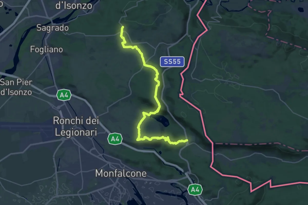
San Martino del Carso (quota 168 m) – Jamiano (quota 45 m)
25.3 km · ↑ 631 m · 7 h 20 min · 4 km away
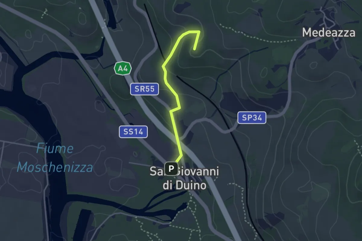
Easy · Summit
San Giovanni al Timavo / Štivan – Bivio sentiero n. 3
2.8 km · ↑ 85 m · 50 min · 5 km away
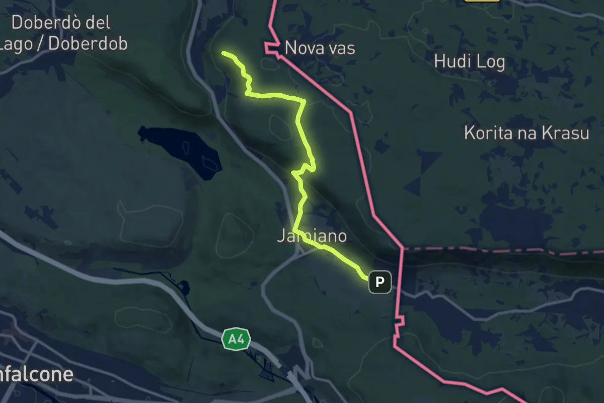
Medium · Trail
S.R. n. 55 del Vallone (quota 50 m) – Comarie bivio sent 079(quota 37 m)
9.8 km · ↑ 226 m · 2 h 49 min · 5 km away
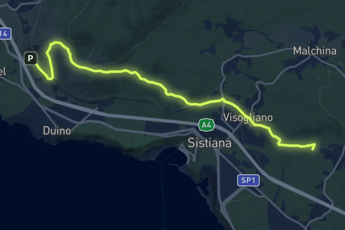
Medium · Summit
Bivio sentiero n. 001a (quota 60 m) – Bivio sentiero n. 032 (quota 180 m)
13.1 km · ↑ 283 m · 3 h 42 min · 6 km away
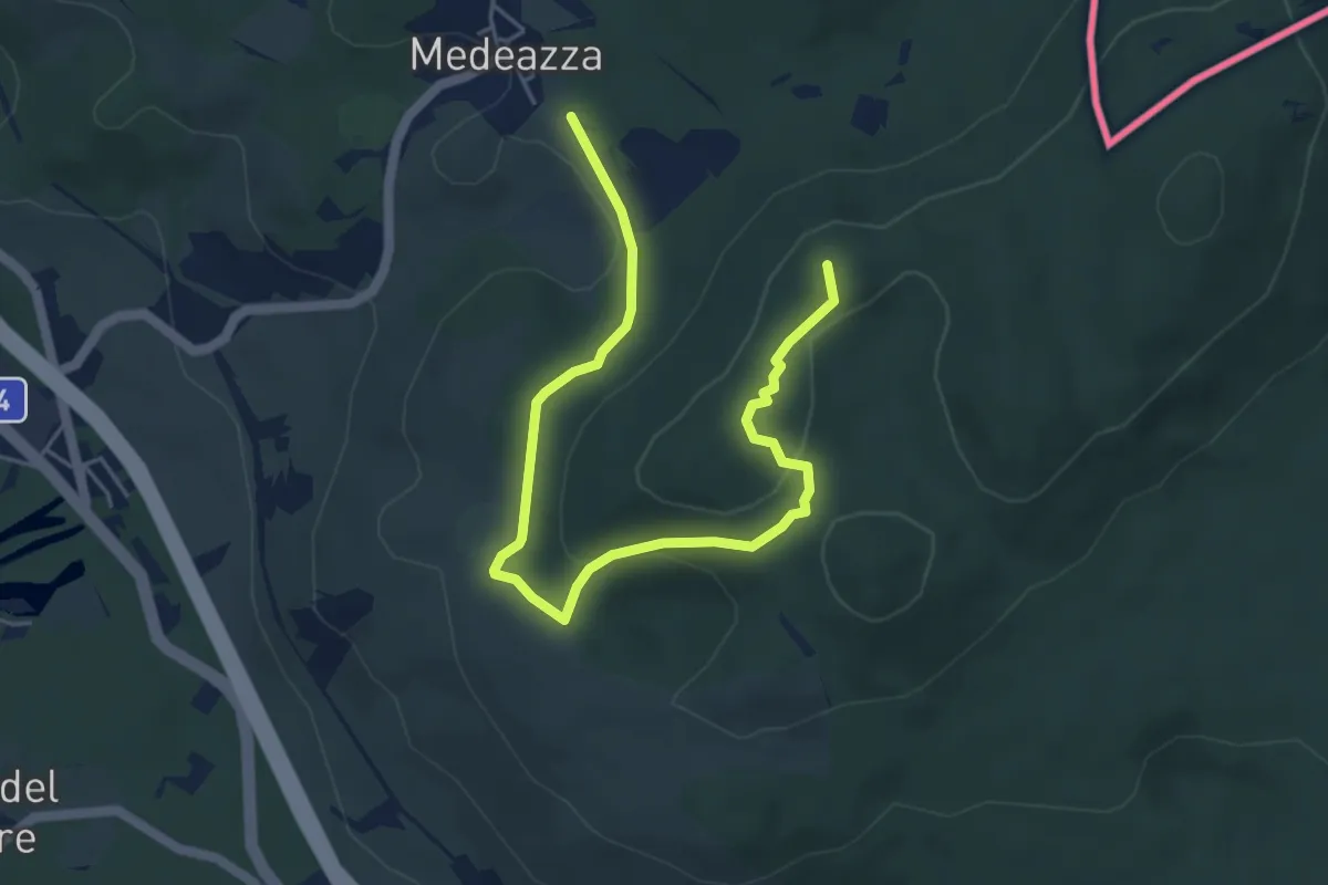
Easy · Summit
Medeazza / Medjevas (quota 160 m) – Bivio sentiero n. 003 (quota 250 m)
6.1 km · ↑ 181 m · 1 h 50 min · 6 km away
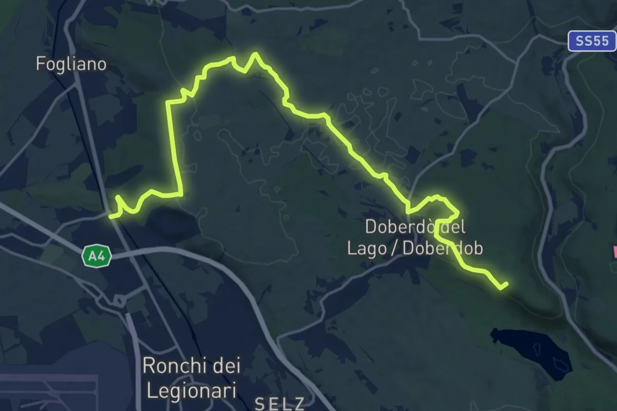
Demanding · Summit
Redipuglia (quota 24 m) – Casa Cadorna (quota 118 m)
20.8 km · ↑ 318 m · 5 h 36 min · 6 km away
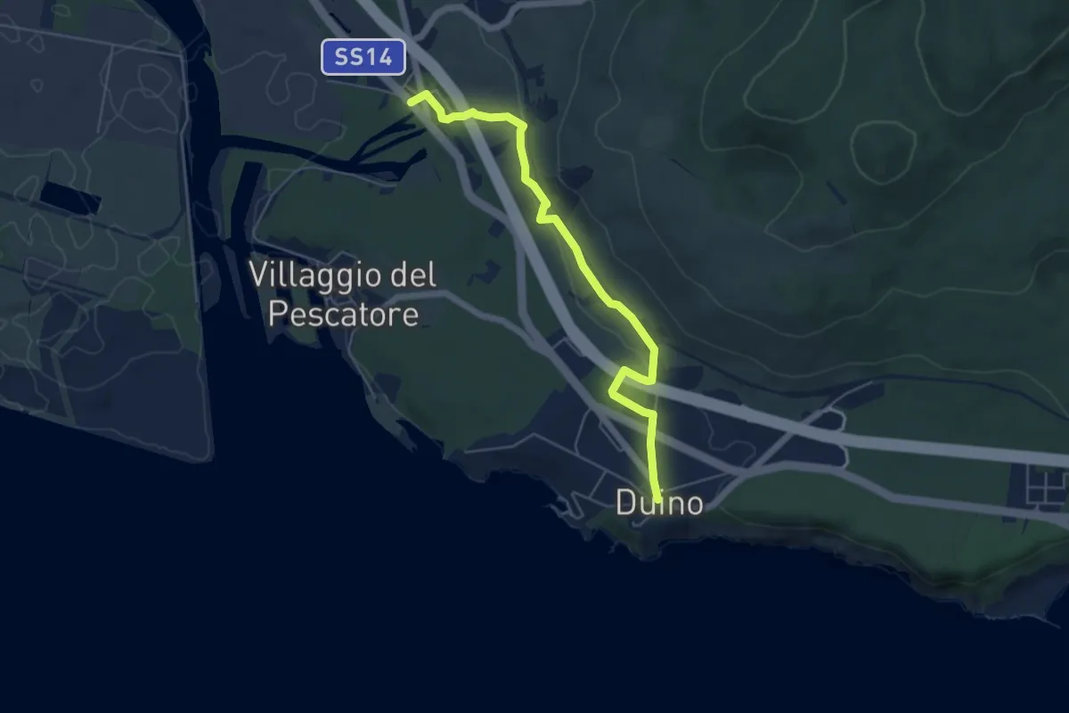
Medium · Trail
Sentiero del Mitreo
5.4 km · ↑ 135 m · 1 h 35 min · 7 km away
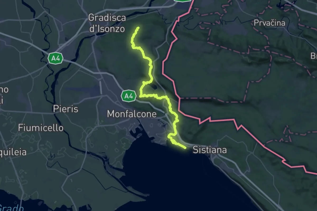
Demanding · Summit
Alpe Adria Trail E33
45.2 km · ↑ 1070 m · 13 h · 7 km away
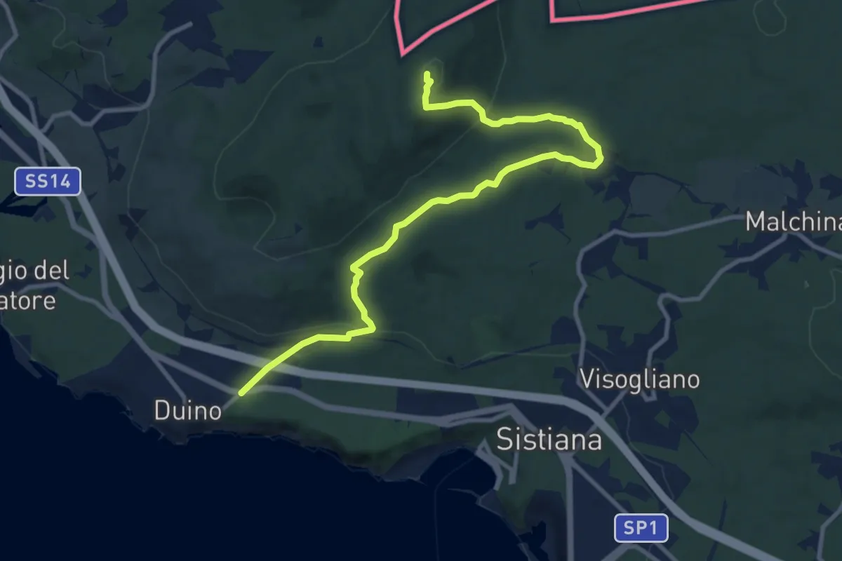
Medium · Summit
Duino (quota 80 m) / Devin – Bivio sentiero n. 003
10.9 km · ↑ 327 m · 3 h 17 min · 7 km away
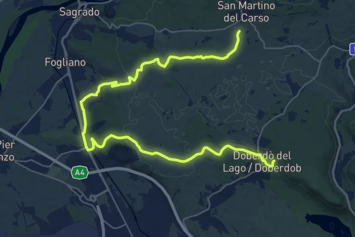
Demanding · Trail
bivio sent 072 (quota 150 m) – Doberdò del Lago bivio sent 077 (quota 110 m)
24.1 km · ↑ 323 m · 6 h 23 min · 7 km away
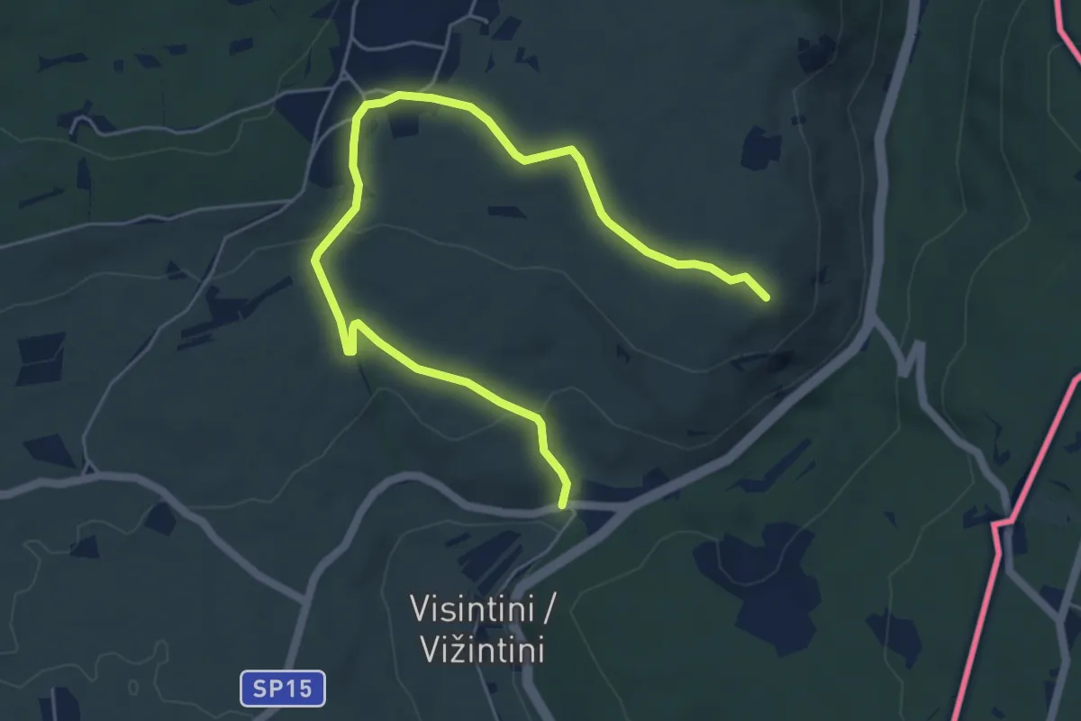
Easy · Summit
S.S. n. 55 del Vallone (quota 74 m) – Devetachi (quota 59 m)
6.6 km · ↑ 160 m · 1 h 55 min · 7 km away
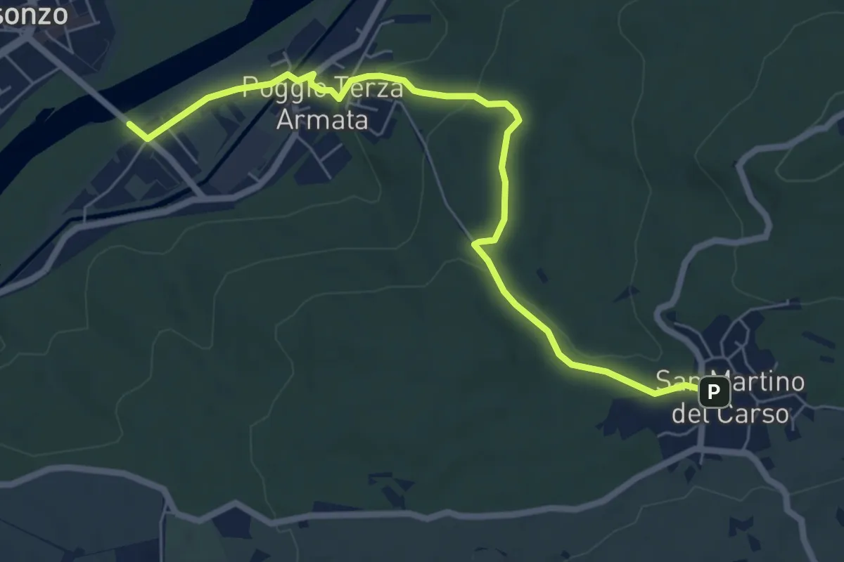
Easy · Trail
Poggio III Armata Sdraussina (quota 32 m) – San Martino del Carso (quota 168 m)
6.9 km · ↑ 147 m · 1 h 57 min · 8 km away
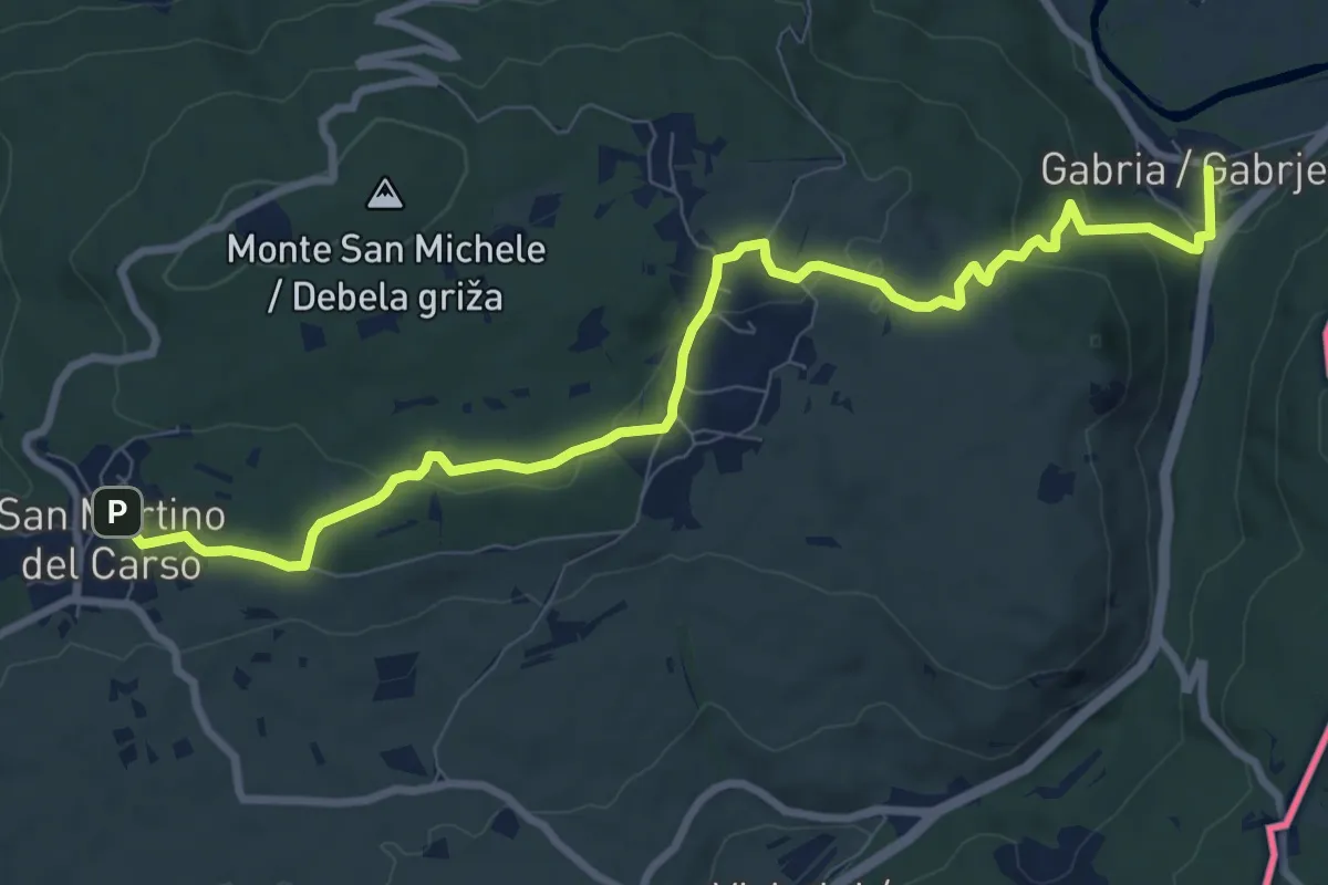
Medium · Trail
Gabria Superiore (quota 47 m) – San Martino del Carso (quota 168 m)
10.2 km · ↑ 250 m · 2 h 56 min · 8 km away
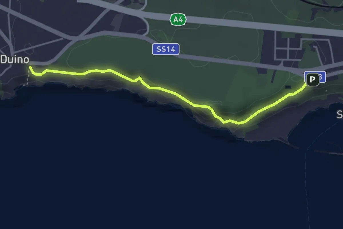
Easy · Trail
Rilke
3.9 km · ↑ 164 m · 1 h 16 min · 8 km away
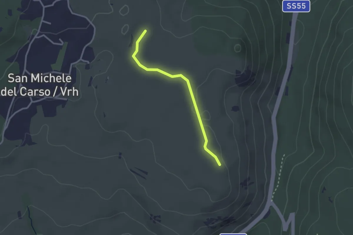
Easy · Trail
Rifugio Speleo (Percorso 071) (quota 185 m) – Percorso 074 (quota 185 m)
2.3 km · ↑ 18 m · 36 min · 8 km away
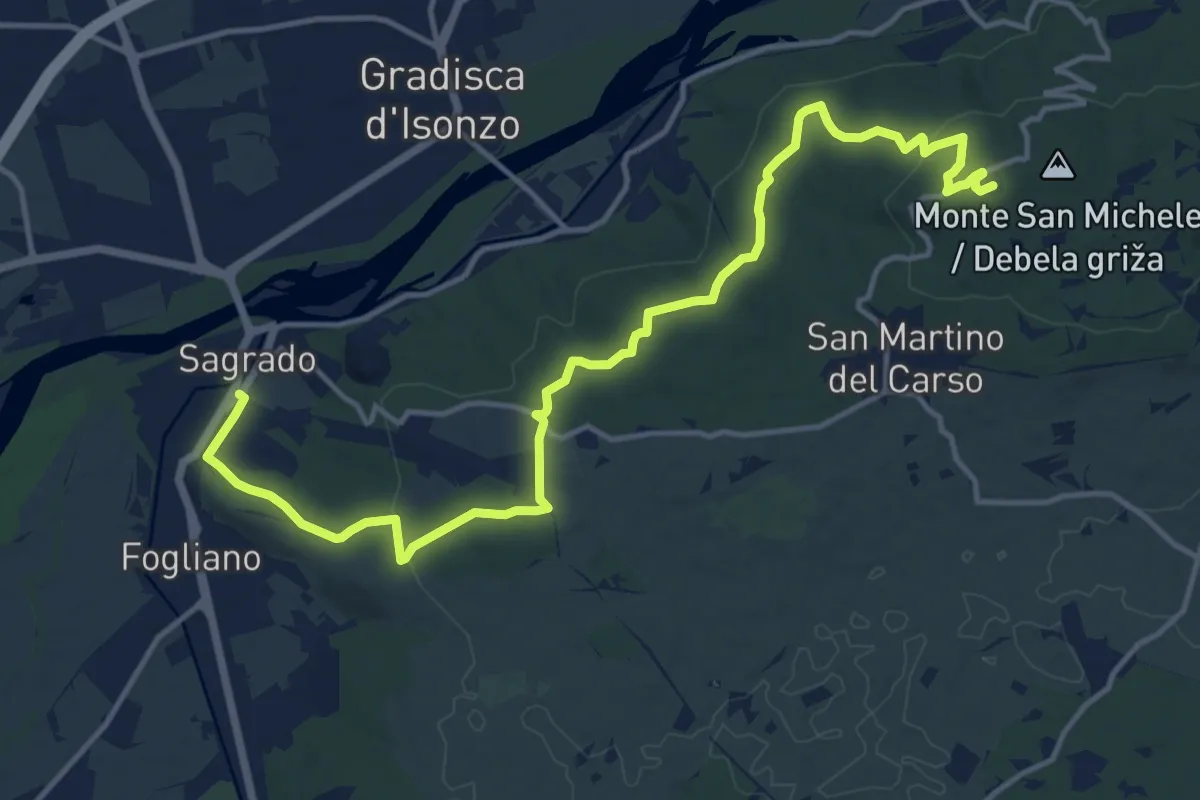
Medium · Summit
Sagrado (quota 40 m) – monte San Michele (quota 275 m)
16.9 km · ↑ 382 m · 4 h 48 min · 9 km away
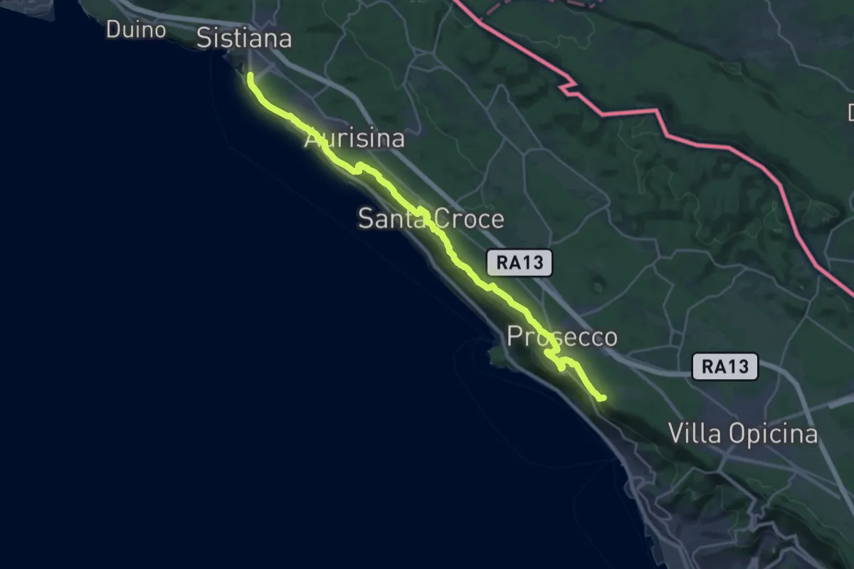
Demanding · Summit
Via Alpina Yellow B3
26.7 km · ↑ 520 m · 7 h 26 min · 9 km away
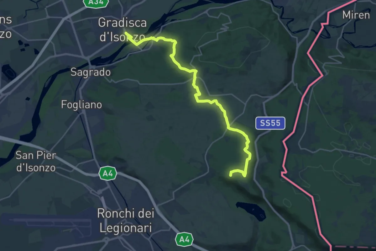
Demanding · Summit
Gradisca d'Isonzo – Centro visite Gradina
20.7 km · ↑ 292 m · 5 h 31 min · 10 km away
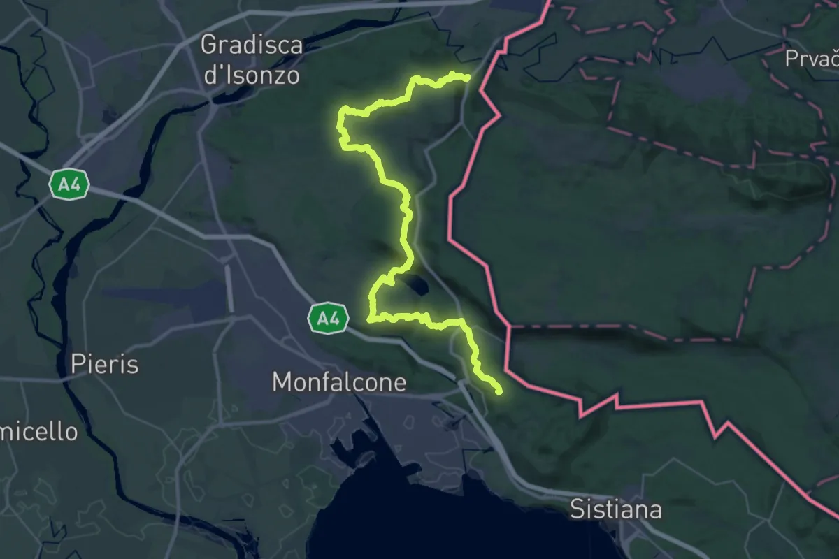
Demanding · Summit
Via Alpina Yellow B4
40.7 km · ↑ 1037 m · 11 h 51 min · 10 km away
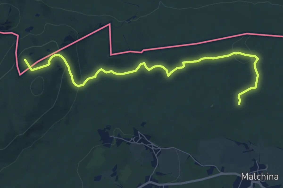
Medium · Summit
Centro visite Gradina – Malchina
8.3 km · ↑ 164 m · 2 h 19 min · 10 km away
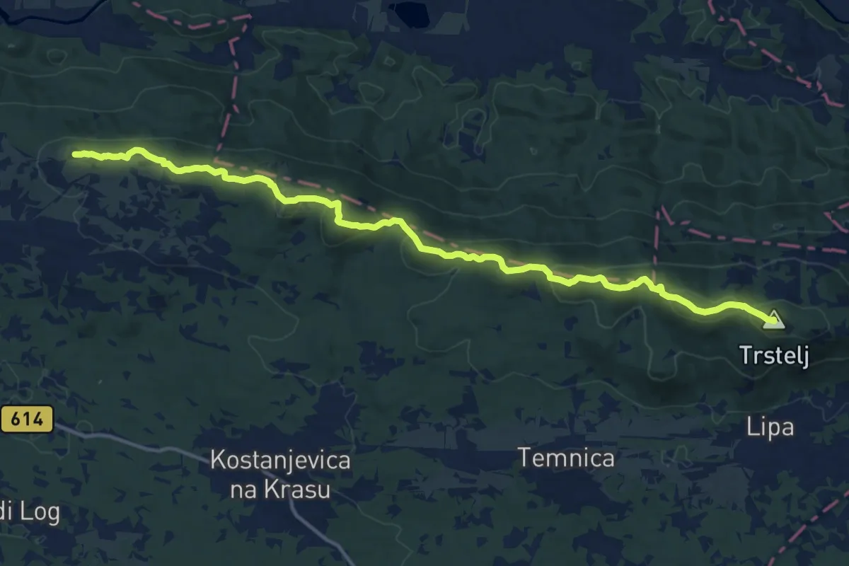
Demanding · Summit
Cerje - Fajti hrib - Trstelj
15.9 km · ↑ 785 m · 5 h 28 min · 10 km away
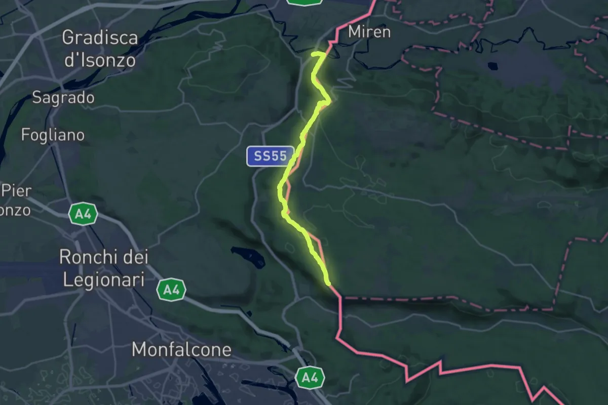
Demanding · Summit
Sentiero Abramo Schmid
18.6 km · ↑ 355 m · 5 h 9 min · 10 km away
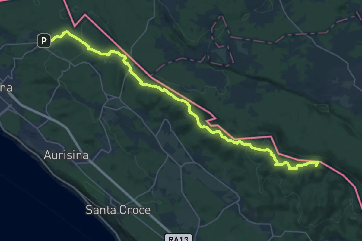
Demanding · Summit
Malchina – Repen
26.2 km · ↑ 589 m · 7 h 27 min · 10 km away
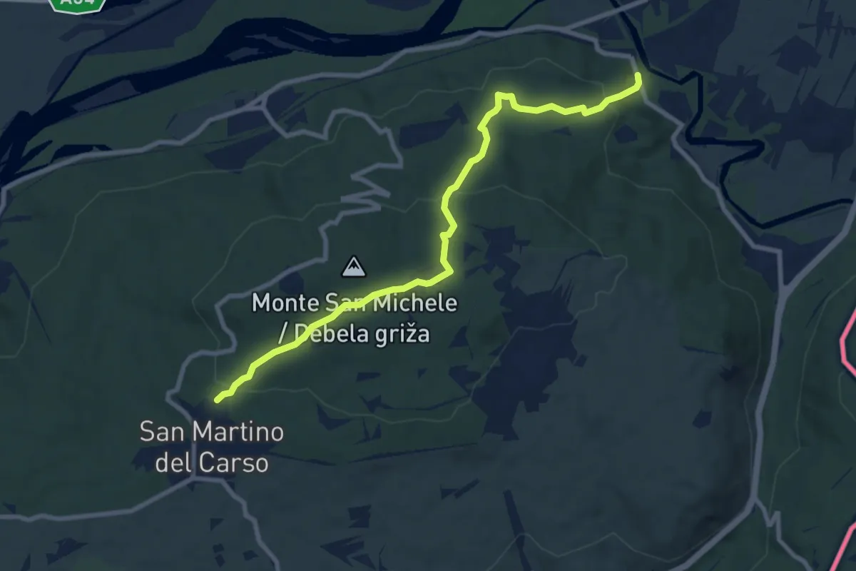
Medium · Trail
Castel Rubbia (quota 45 m) – Jamiano (quota 45 m)
8.3 km · ↑ 266 m · 2 h 33 min · 11 km away
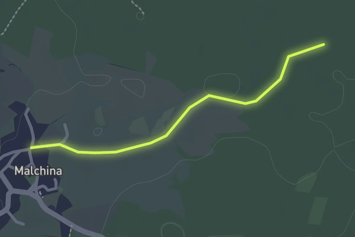
Easy · Trail
Malchina Mavhinje (quota 181 m) – Bivio sentiero n. 003 (quota 182 m)
2.1 km · ↑ 0 m · 29 min · 11 km away
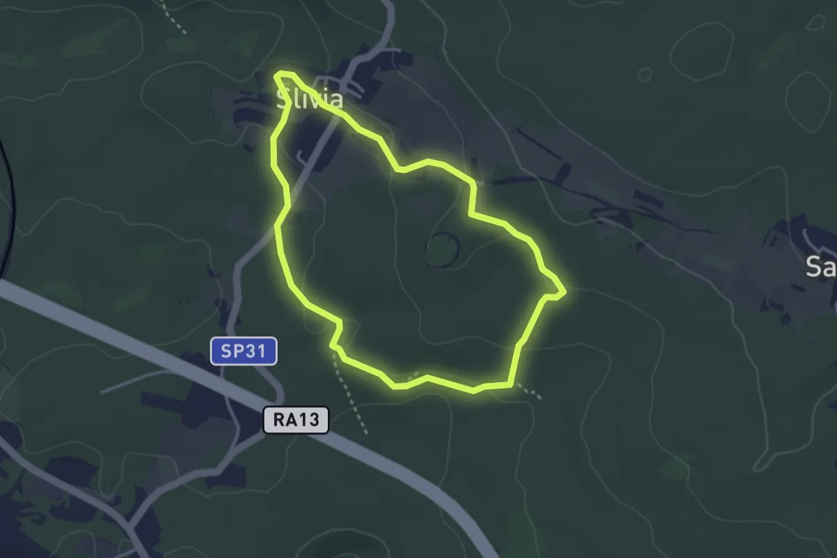
Easy · Trail
Pešpot Slivno / Sentiero Slivia
3.1 km · ↑ 52 m · 53 min · 11 km away
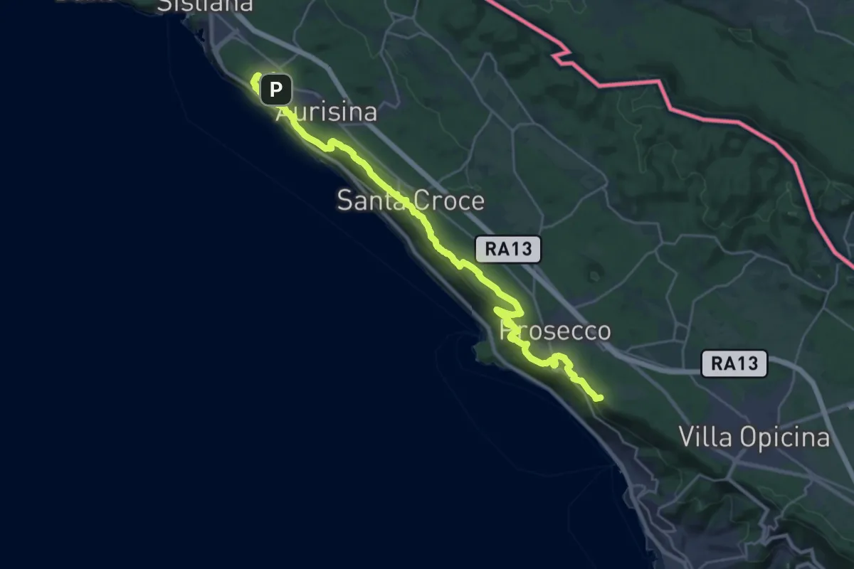
Demanding · Summit
Aurisina - Opicina
29.3 km · ↑ 763 m · 8 h 34 min · 11 km away
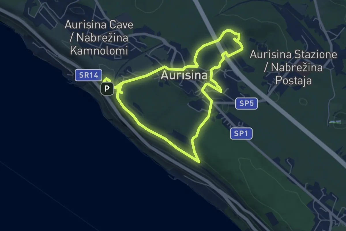
Easy · Summit
Učna pot Nabrežina / Percorso didattico Aurisina
5.5 km · ↑ 128 m · 1 h 38 min · 12 km away
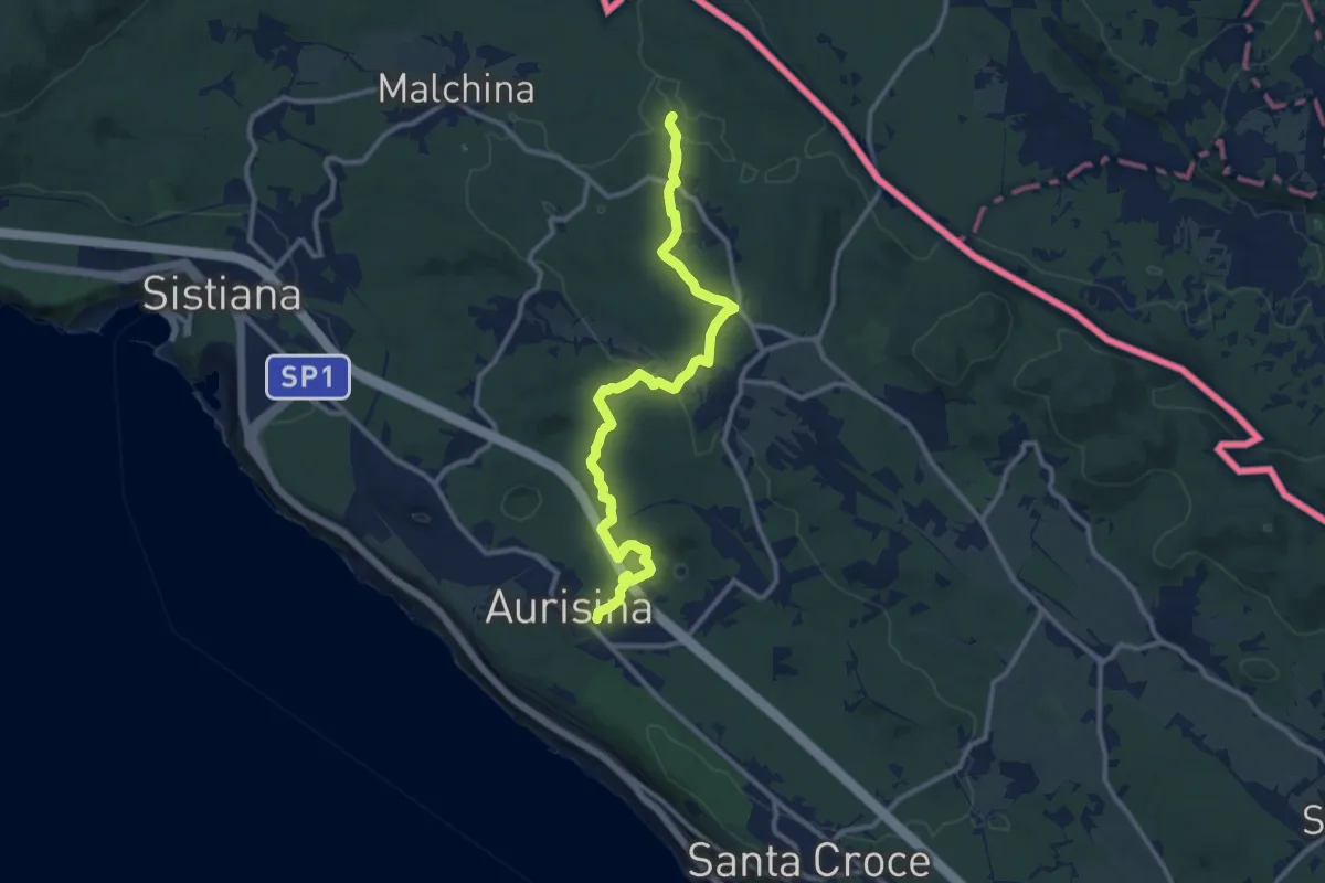
Medium · Trail
Aurisina (quota 150 m) – Bivio sentiero n. 003 (quota 198 m)
11.9 km · ↑ 192 m · 3 h 13 min · 12 km away
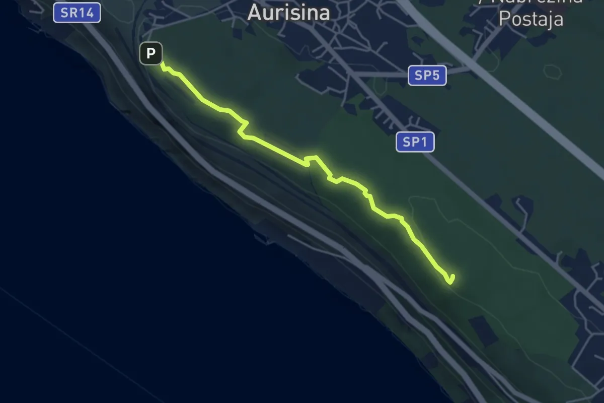
Easy · Summit
Sentiero della salvia
4.1 km · ↑ 87 m · 1 h 10 min · 12 km away
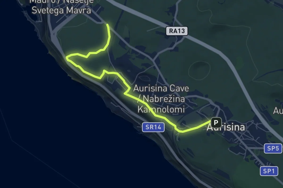
Easy · Trail
Sentiero Tiziana Weiss
7.4 km · ↑ 103 m · 1 h 58 min · 12 km away
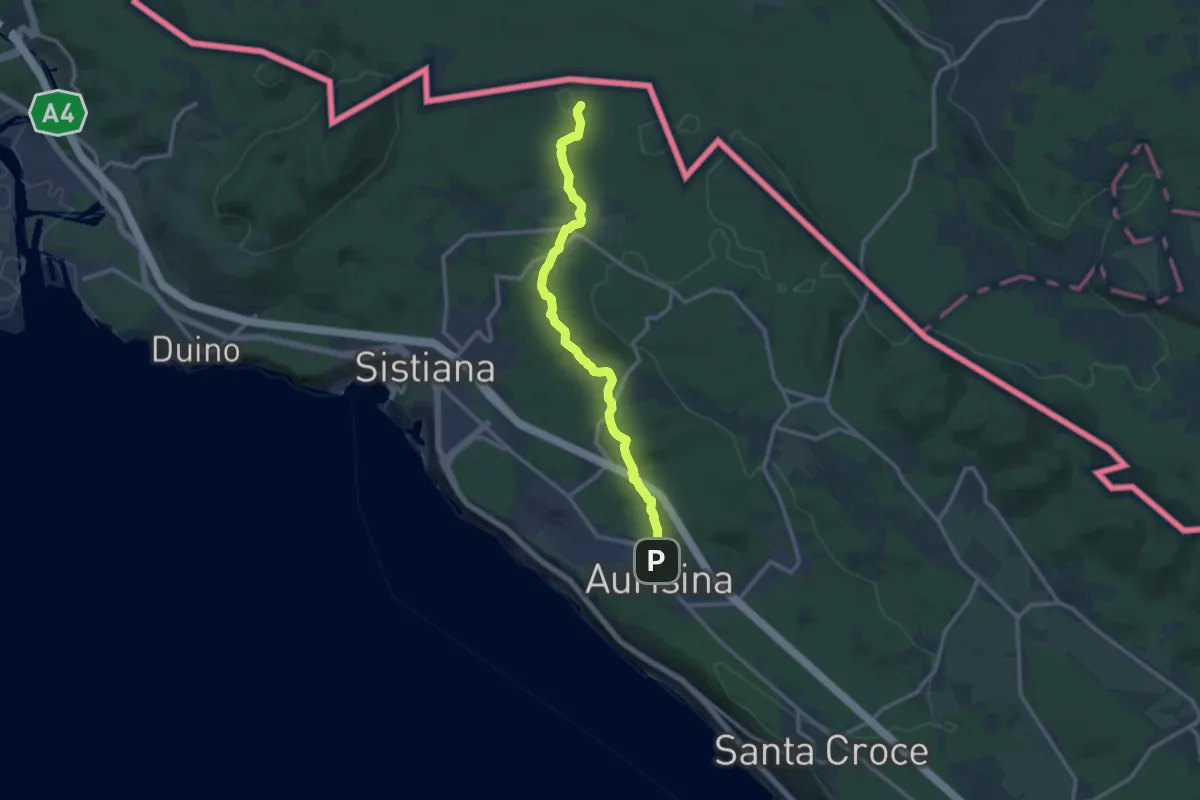
Medium · Trail
Aurisina / Nabrežina (quota 140 m) – Bivio sentiero n. 003 (quota 189 m)
12.4 km · ↑ 178 m · 3 h 18 min · 12 km away
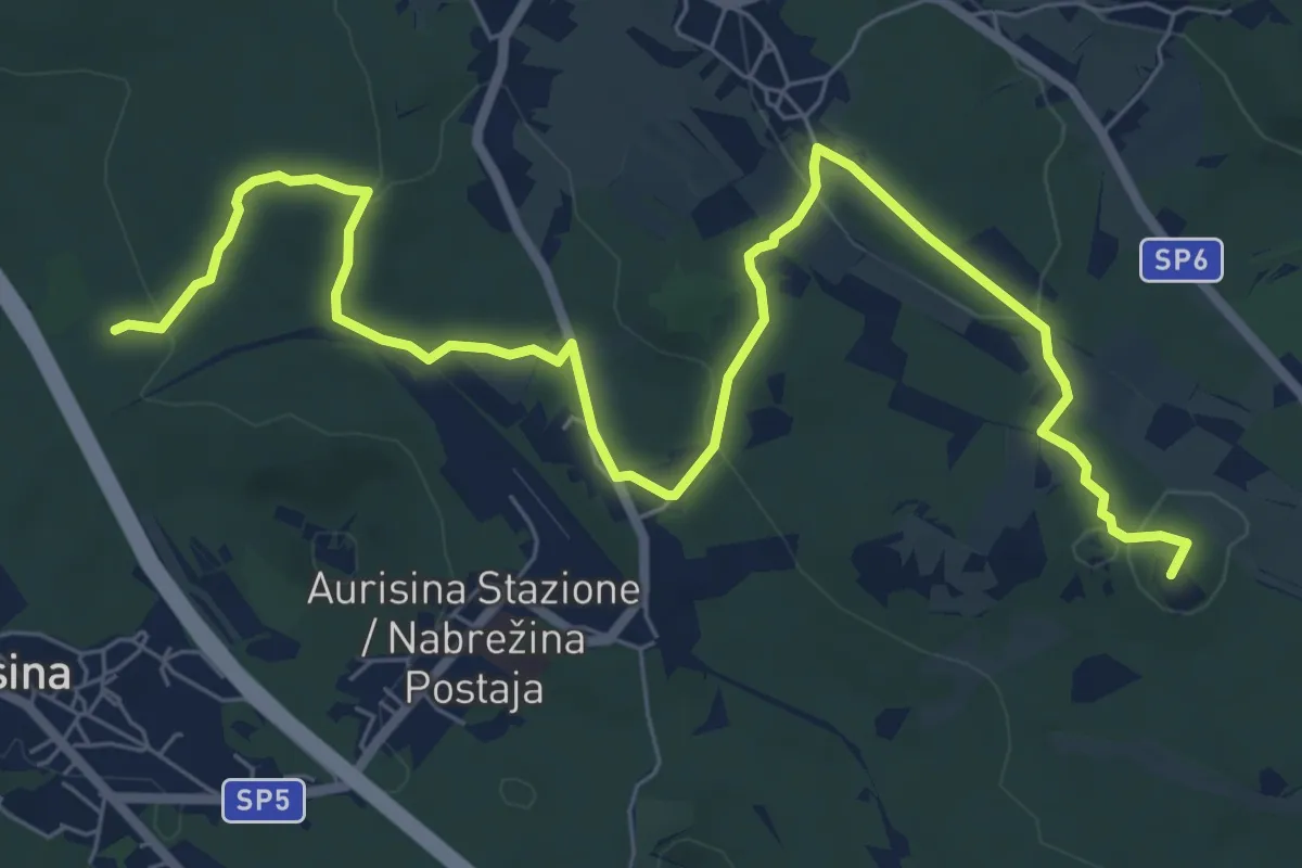
Medium · Summit
Samatorza / Samatorca - bivio sentiero n. 10 – G. Pocala - bivio sentiero n. 32
9.4 km · ↑ 210 m · 2 h 41 min · 12 km away
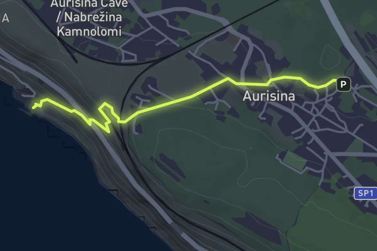
Easy · Trail
Ribiška pot / Sentiero dei pescatori
4.1 km · ↑ 179 m · 1 h 21 min · 13 km away
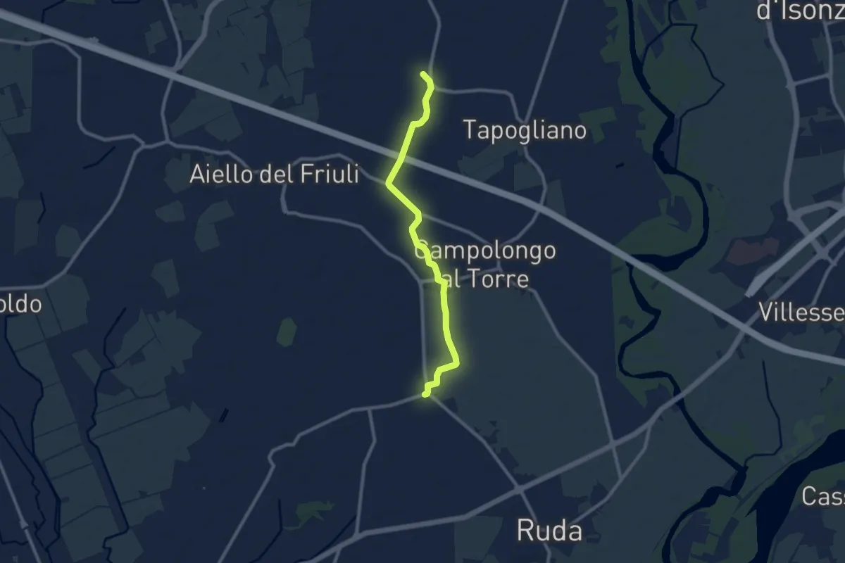
Medium · Trail
Cammino Celeste Italia - passante di Cavenzano
8.4 km · ↑ 9 m · 2 h 1 min · 13 km away
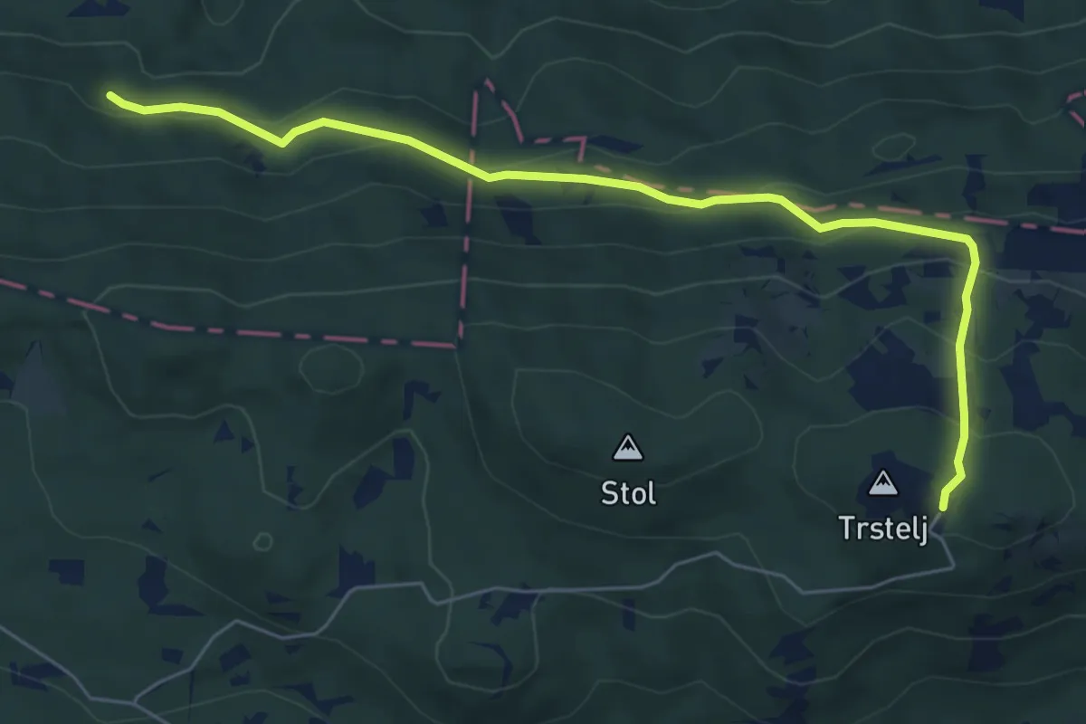
Demanding · Cabin
Črni hribi - Trstelj
6.5 km · ↑ 353 m · 2 h 18 min · 13 km away
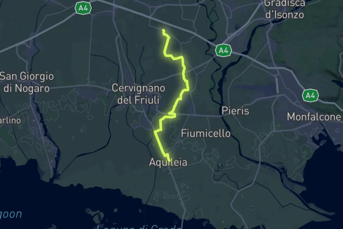
Demanding · Trail
Cammino Celeste Italia - 1 Aquileia - Aiello
33.3 km · ↑ 25 m · 7 h 55 min · 13 km away
Medium · Trail
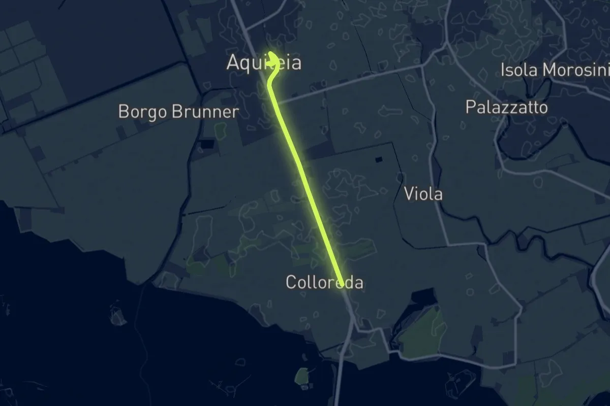
Cammino Celeste Italia - 0 Prologo bis: isola di Barbana - Aquileia
8.8 km · ↑ 4 m · 2 h 5 min · 13 km away
Easy · Trail
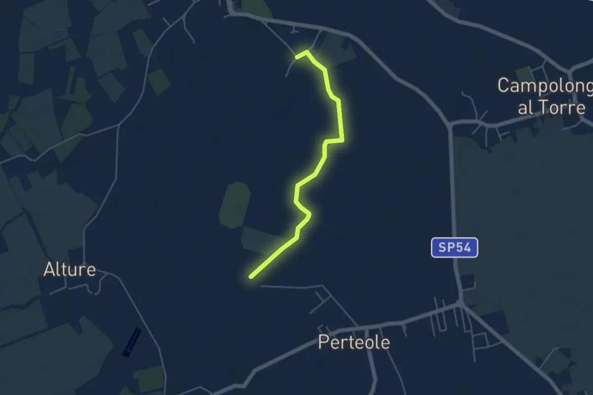
Iter Aquileiense - variante della Roggia
4.1 km · ↑ 4 m · 59 min · 14 km away
Easy · Cabin
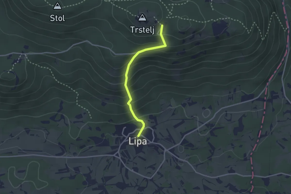
Lipa - Trstelj
2.4 km · ↑ 232 m · 1 h 5 min · 14 km away
Demanding · Trail
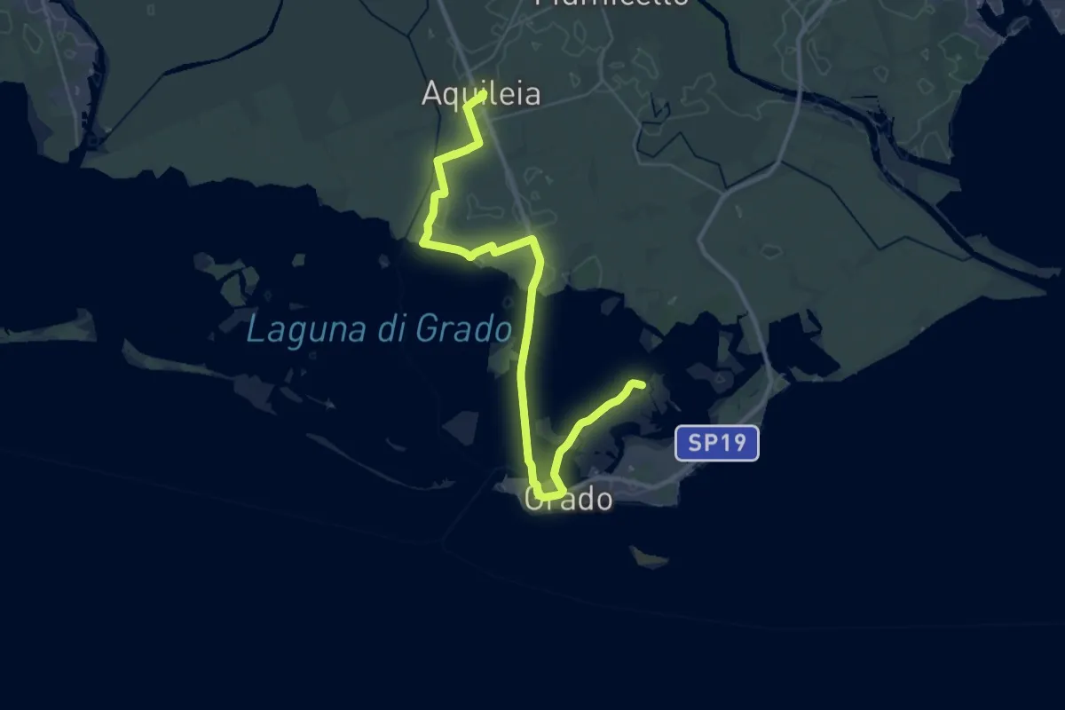
Cammino Celeste Italia - 0 Prologo: isola di Barbana - Aquileia
19.3 km · ↑ 13 m · 4 h 51 min · 14 km away