Trails near Montalcino
30 hikes starting within 15 km, nearest first.
Nearest first
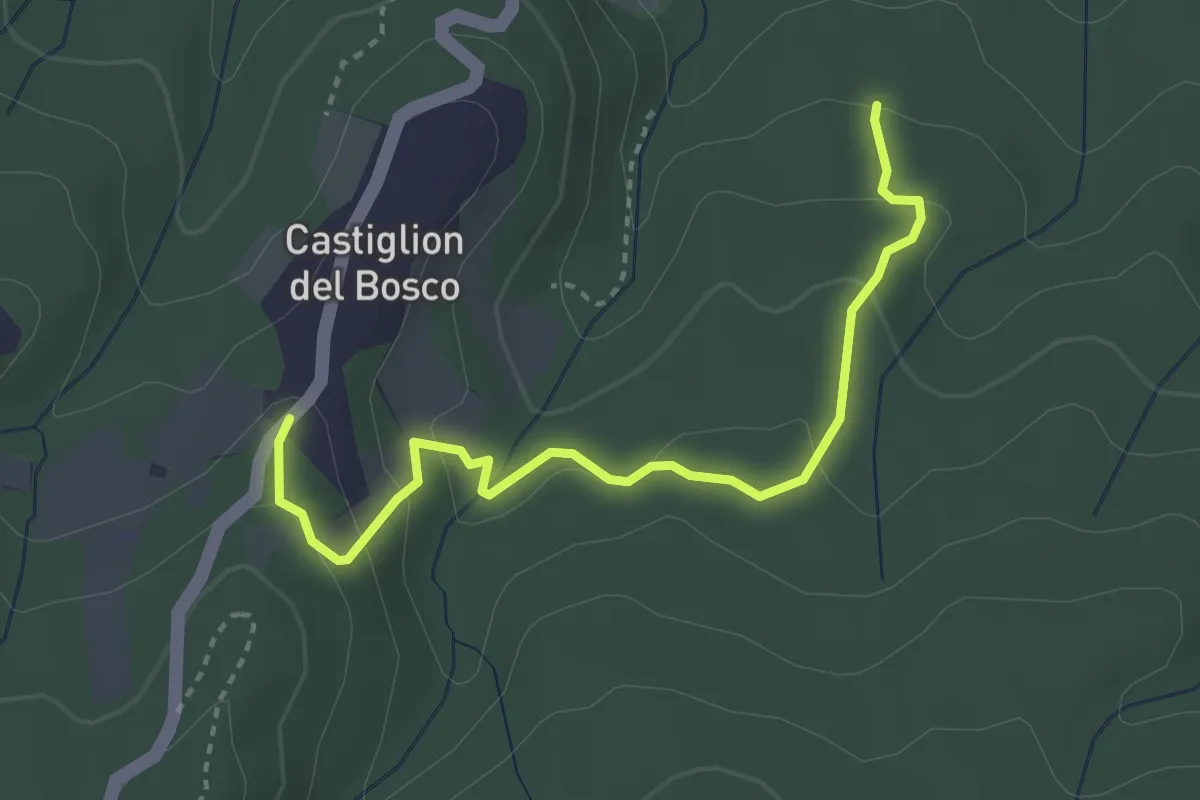
Easy · Trail
Sentiero del Daino
3.6 km · ↑ 170 m · 1 h 13 min · 6 km away
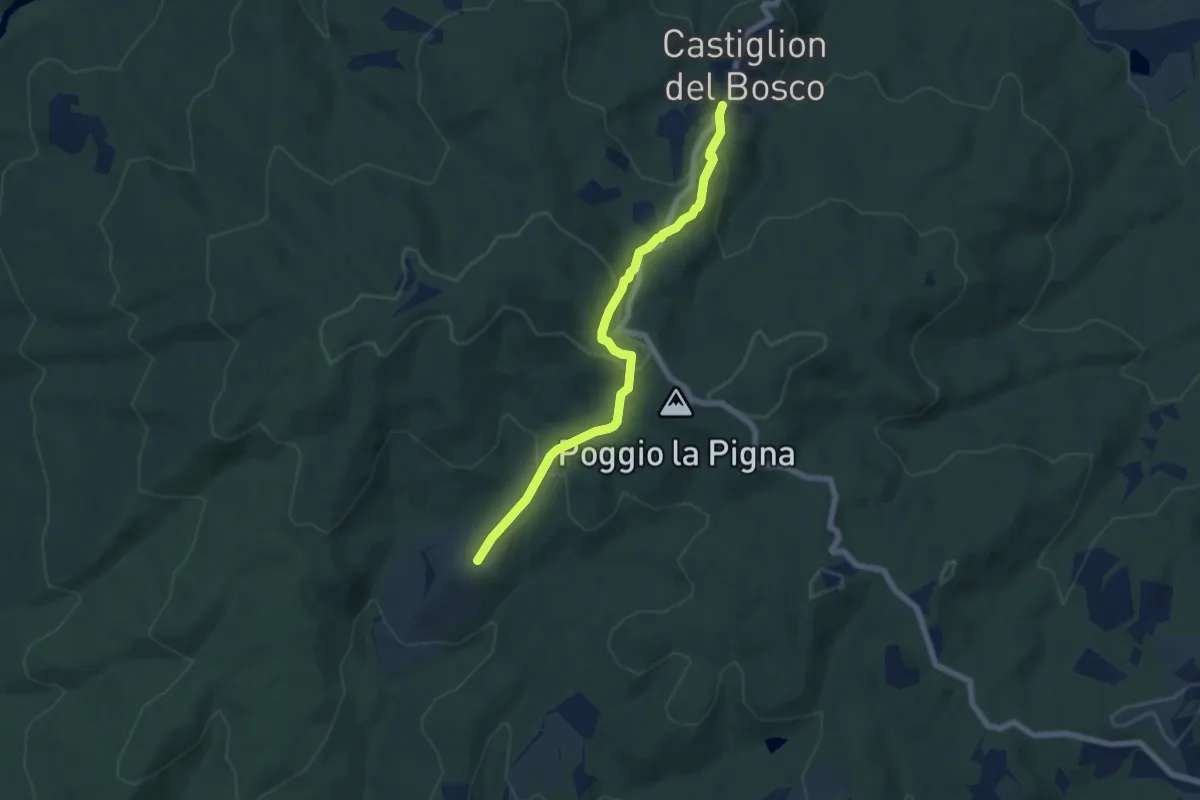
Easy · Trail
Sentiero del Drago
6.6 km · ↑ 303 m · 2 h 12 min · 6 km away
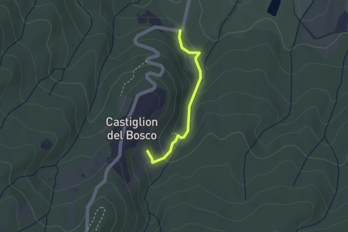
Easy · Trail
Sentiero del Cinghiale
2.4 km · ↑ 138 m · 51 min · 6 km away
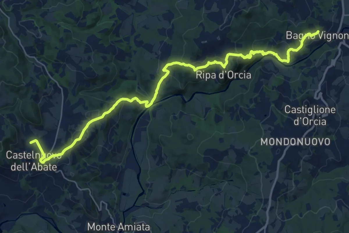
Medium · Trail
Bagno Vignoni - Sant'Antimo
12.9 km · ↑ 490 m · 4 h 17 min · 7 km away
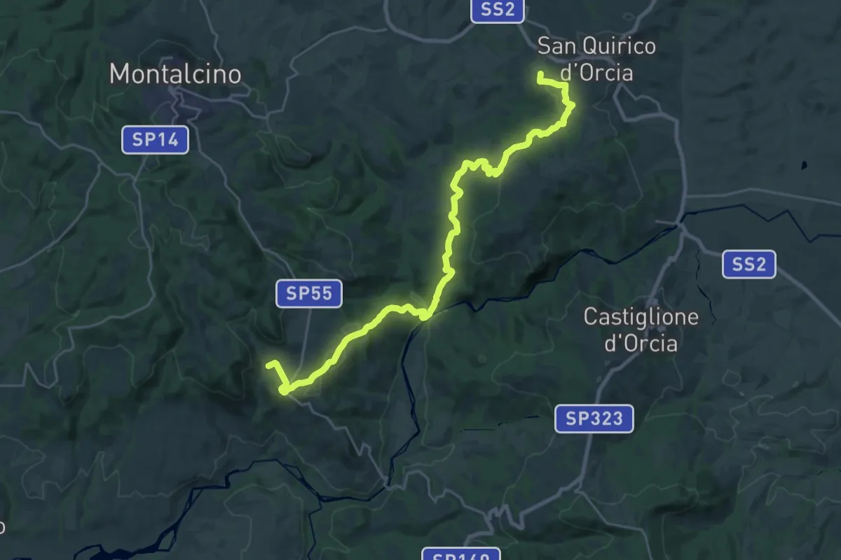
Medium · Trail
San Quirico - Sant'Antimo
14.3 km · ↑ 485 m · 4 h 35 min · 7 km away
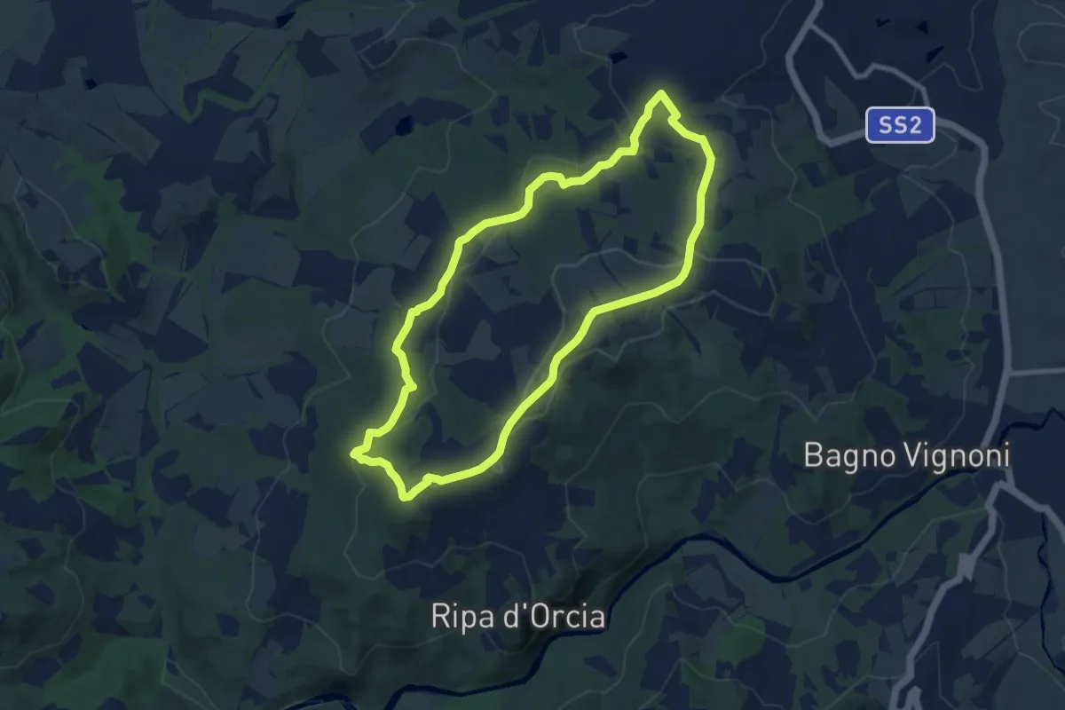
Medium · Trail
Poggio al Vento
8.8 km · ↑ 234 m · 2 h 43 min · 8 km away
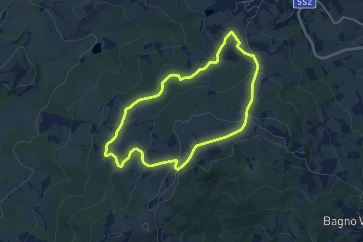
Easy · Trail
Poggio Grande
6.9 km · ↑ 193 m · 2 h 9 min · 9 km away
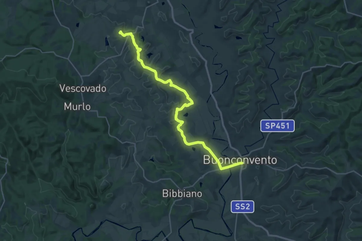
Demanding · Summit
Le Crete - Cammino Principale
24.4 km · ↑ 356 m · 6 h 32 min · 9 km away
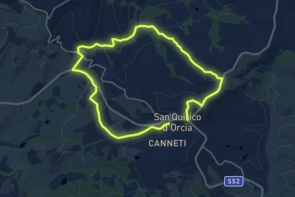
Demanding · Trail
San Quirico d'Orcia
18.1 km · ↑ 379 m · 5 h 5 min · 9 km away
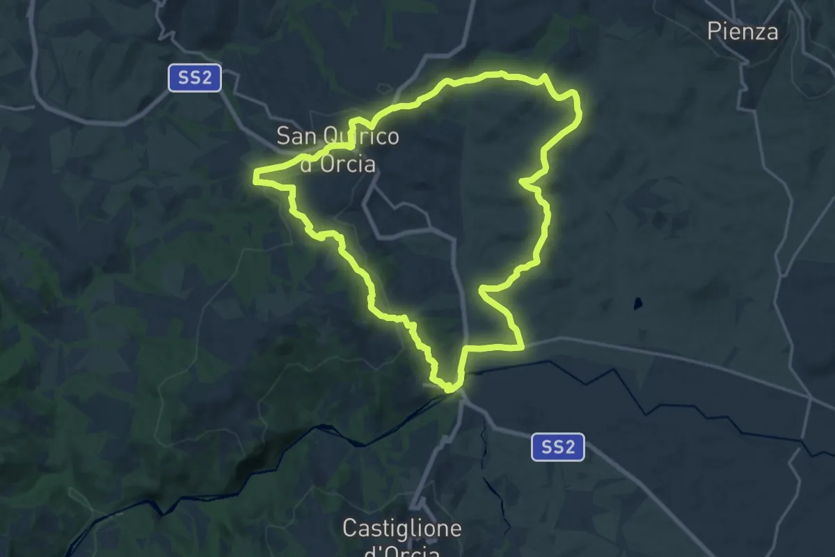
Demanding · Trail
Bagno Vignoni - San Quirico
18.7 km · ↑ 403 m · 5 h 33 min · 9 km away
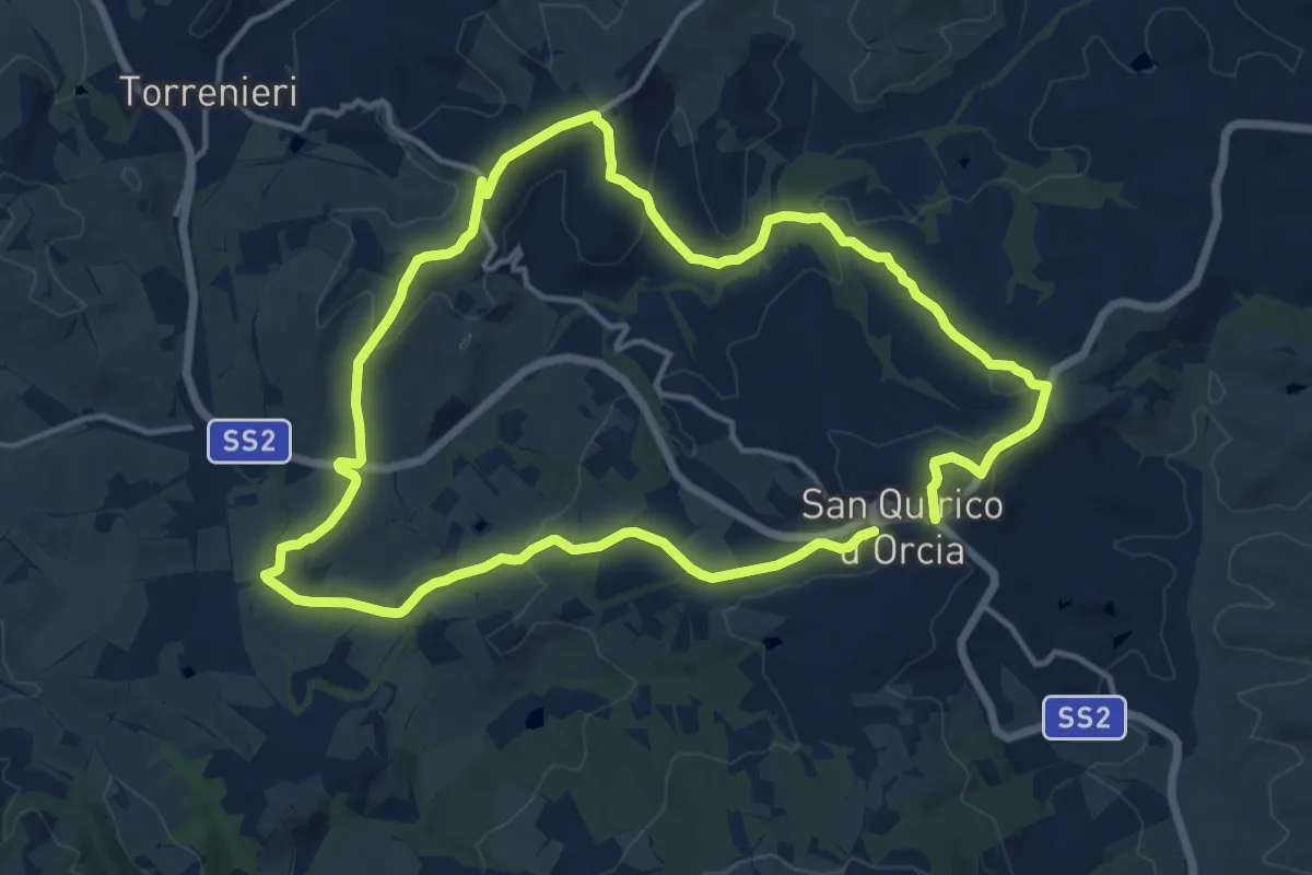
Medium · Trail
i Cipressi
14.4 km · ↑ 327 m · 4 h 18 min · 9 km away
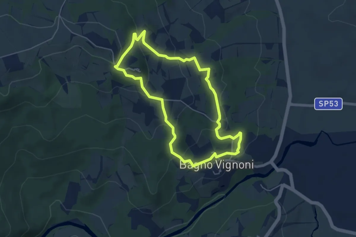
Easy · Trail
Vignoni Alto
4.7 km · ↑ 187 m · 1 h 35 min · 10 km away
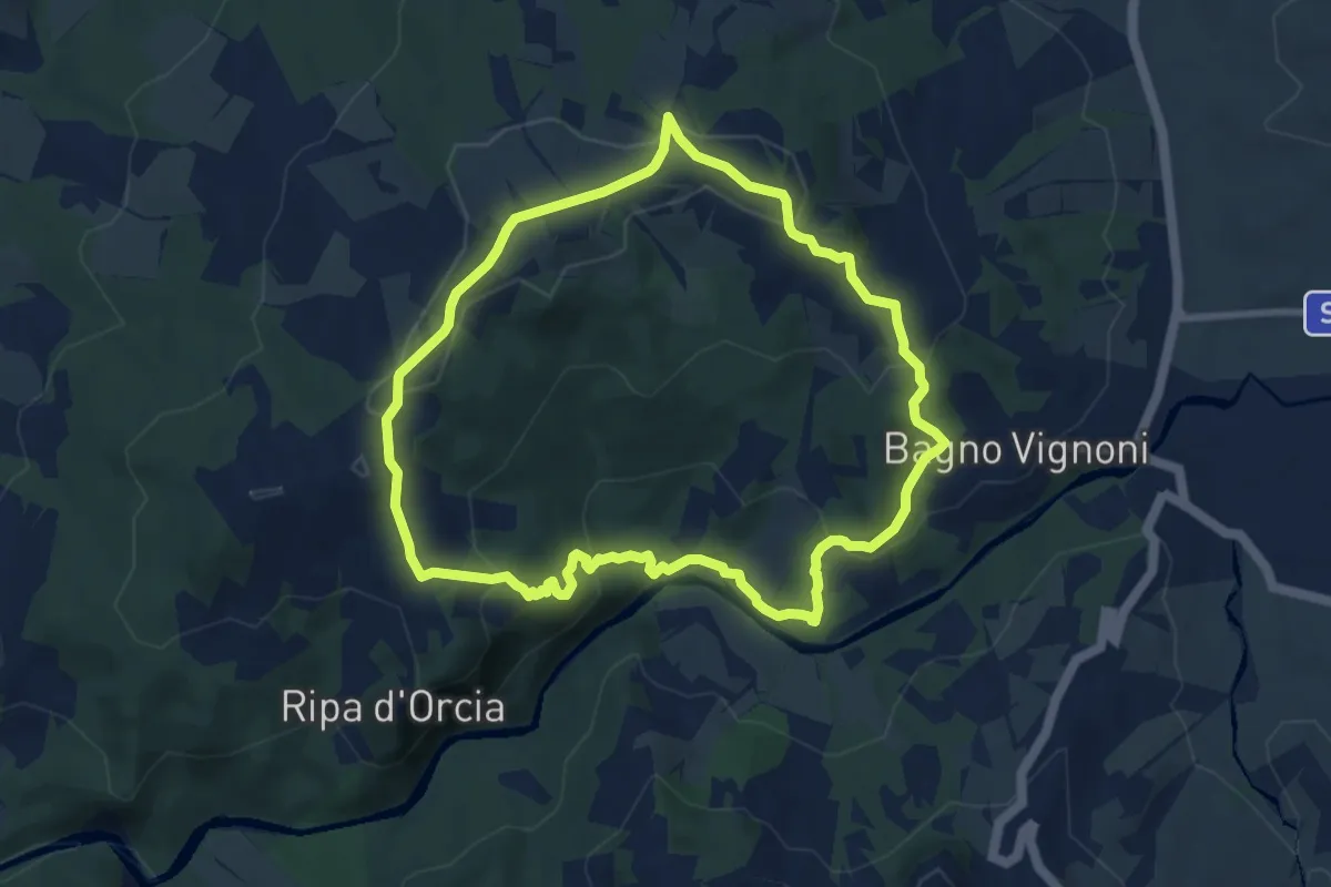
Medium · Trail
Ripa d'Orcia
8.5 km · ↑ 312 m · 2 h 48 min · 10 km away
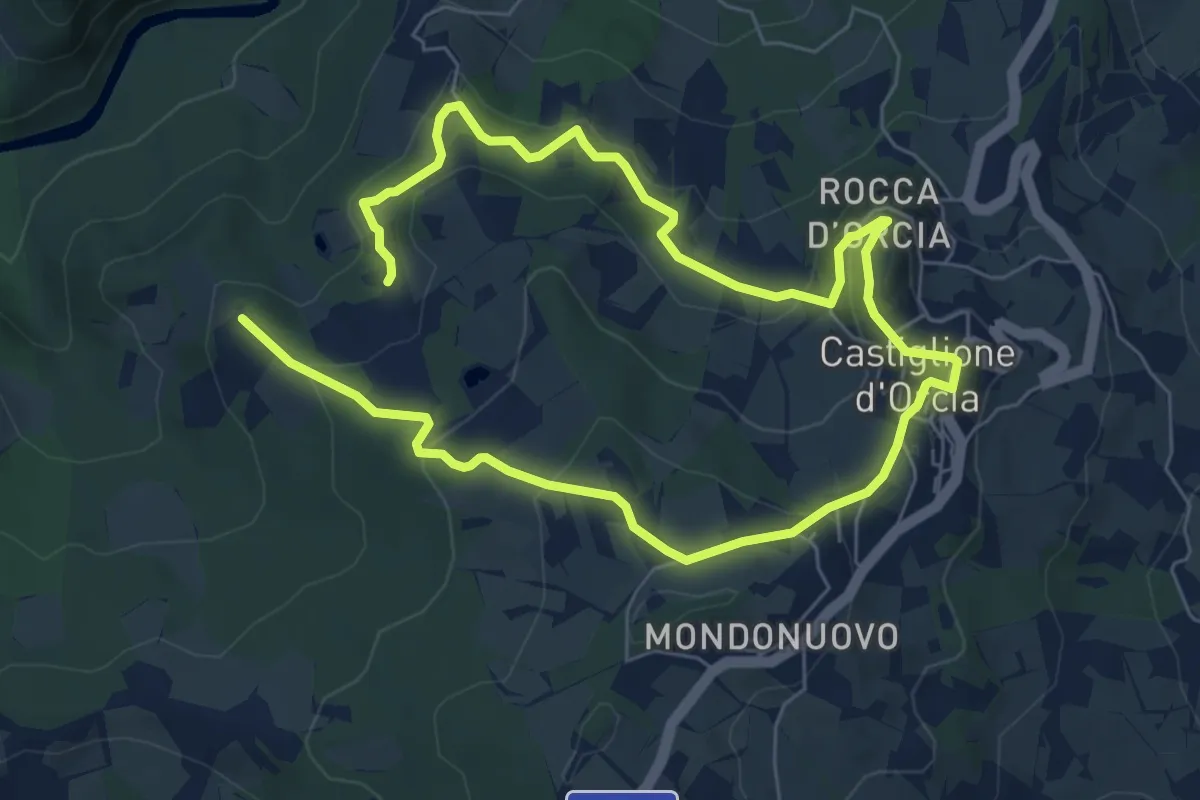
Medium · Trail
Podere Forte
11.8 km · ↑ 545 m · 3 h 59 min · 10 km away
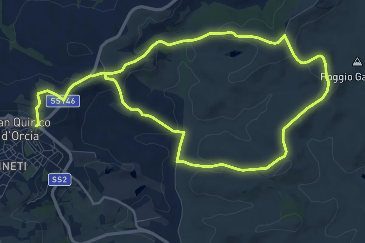
Medium · Trail
Vitaleta
17.7 km · ↑ 404 m · 5 h 3 min · 10 km away
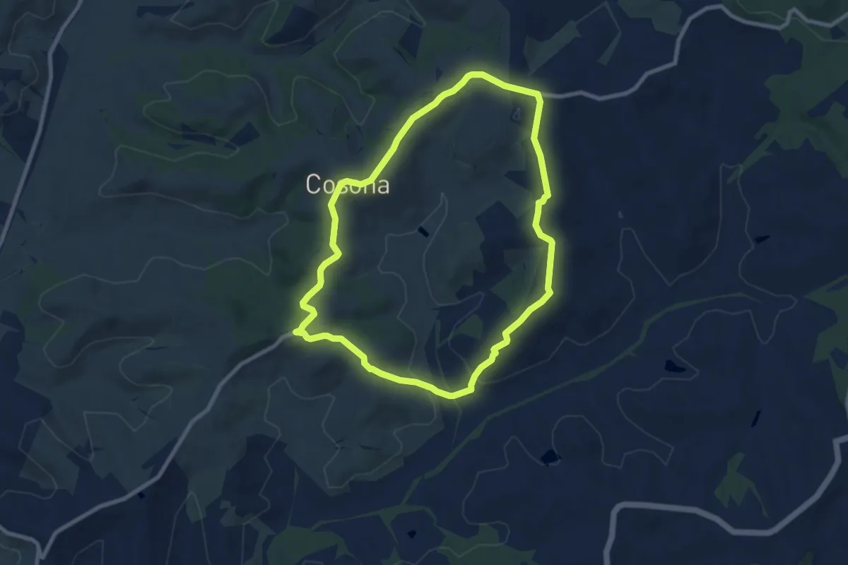
Medium · Trail
Forteguerri
8.2 km · ↑ 176 m · 2 h 26 min · 11 km away
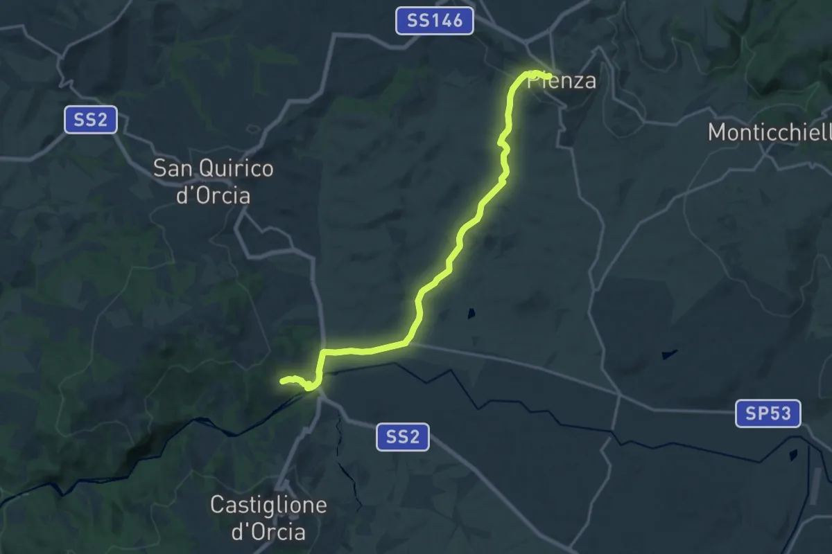
Demanding · Trail
Bagno Vignoni - Pienza
18.0 km · ↑ 325 m · 4 h 57 min · 11 km away
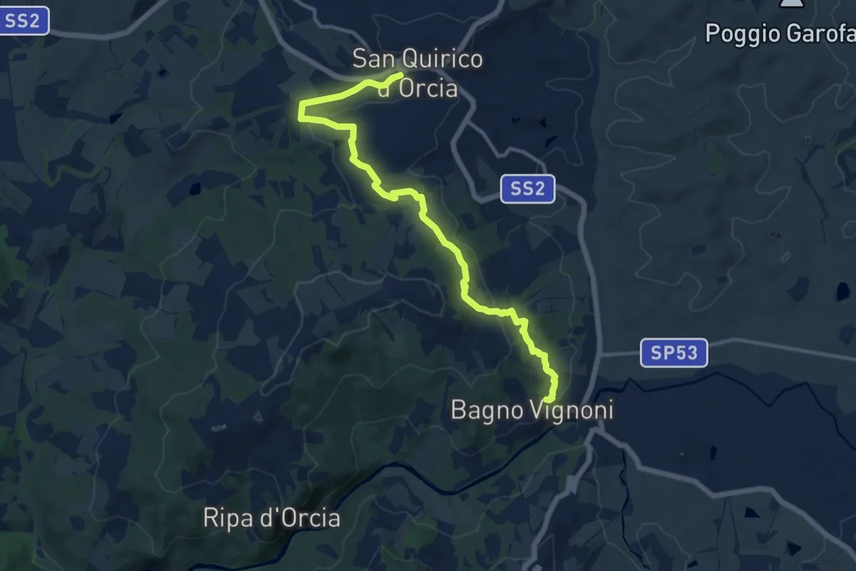
Medium · Trail
Bagno Vignoni - San Quirico
13.0 km · ↑ 280 m · 3 h 41 min · 11 km away
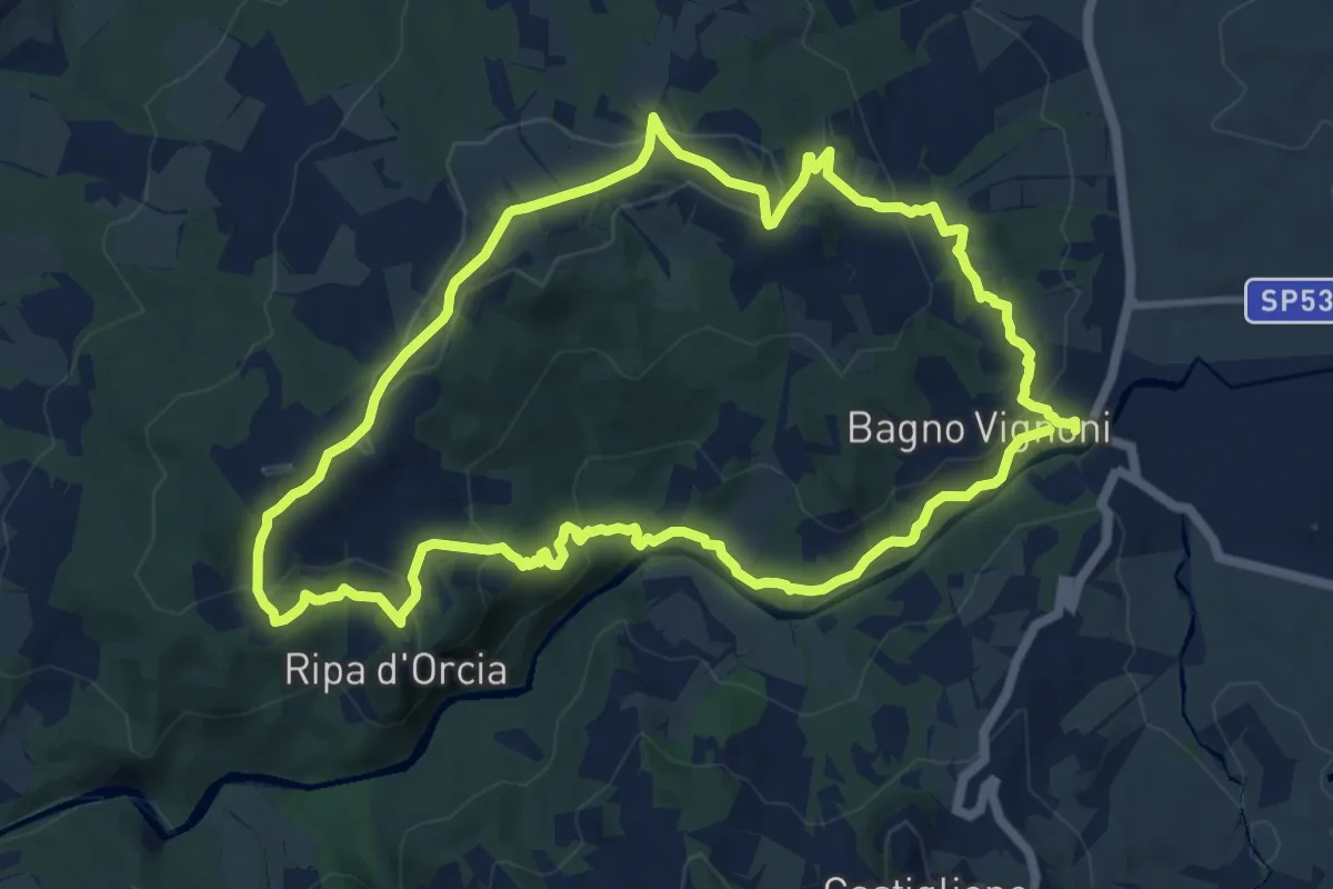
Medium · Trail
Poggio al Vento da Bagno Vignoni
12.1 km · ↑ 401 m · 3 h 54 min · 11 km away
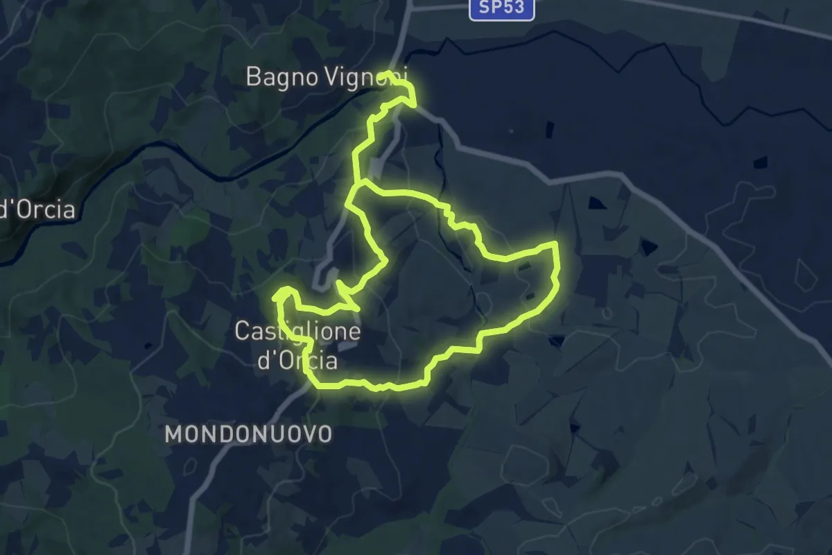
Demanding · Trail
Poggio Istiano
21.0 km · ↑ 812 m · 6 h 43 min · 11 km away
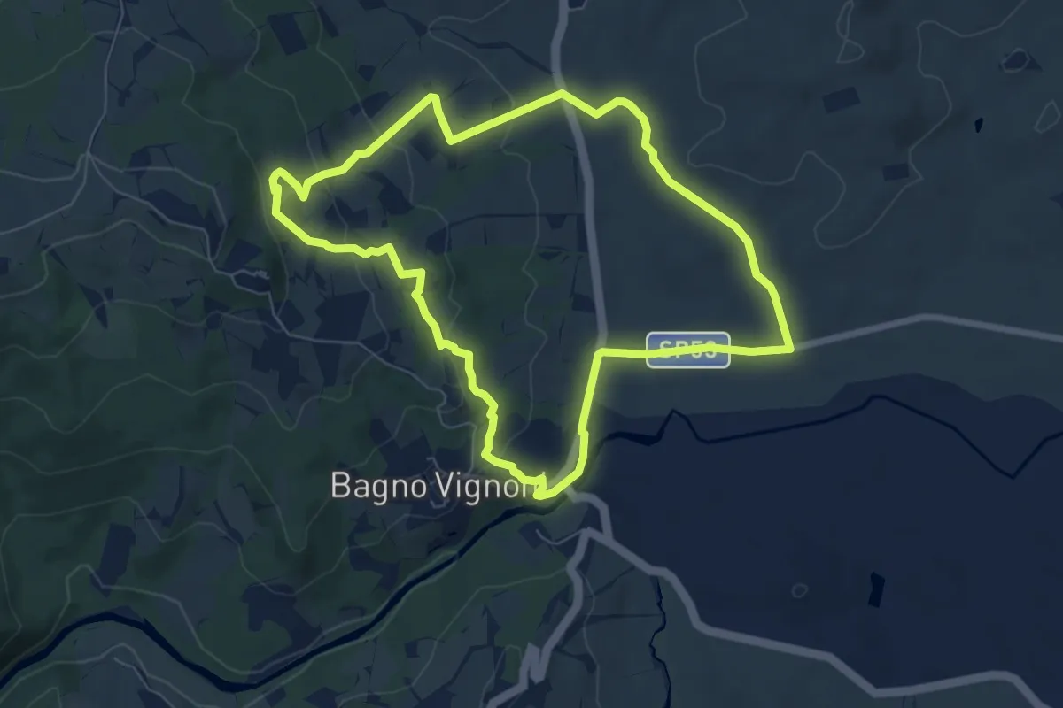
Easy · Trail
Casellona
7.4 km · ↑ 205 m · 2 h 18 min · 11 km away
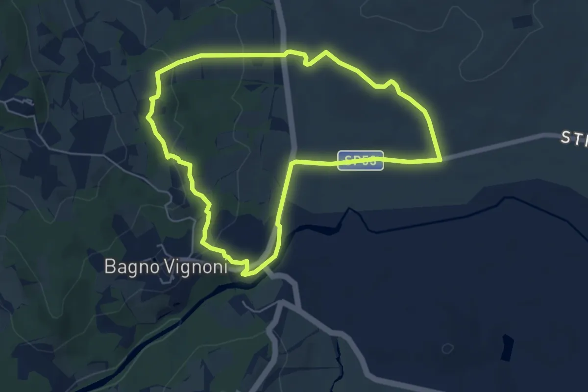
Easy · Trail
Cerrolungo
5.2 km · ↑ 142 m · 1 h 37 min · 11 km away
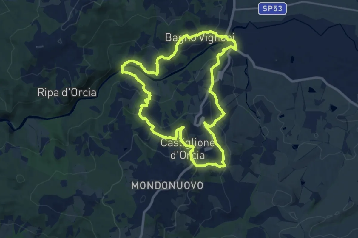
Medium · Trail
Rocca d'Orcia
11.8 km · ↑ 441 m · 3 h 54 min · 12 km away
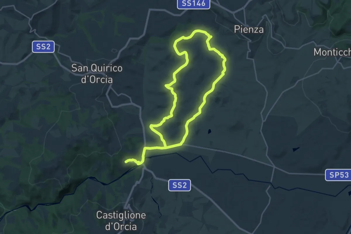
Medium · Trail
Terrapille
16.5 km · ↑ 327 m · 4 h 48 min · 12 km away
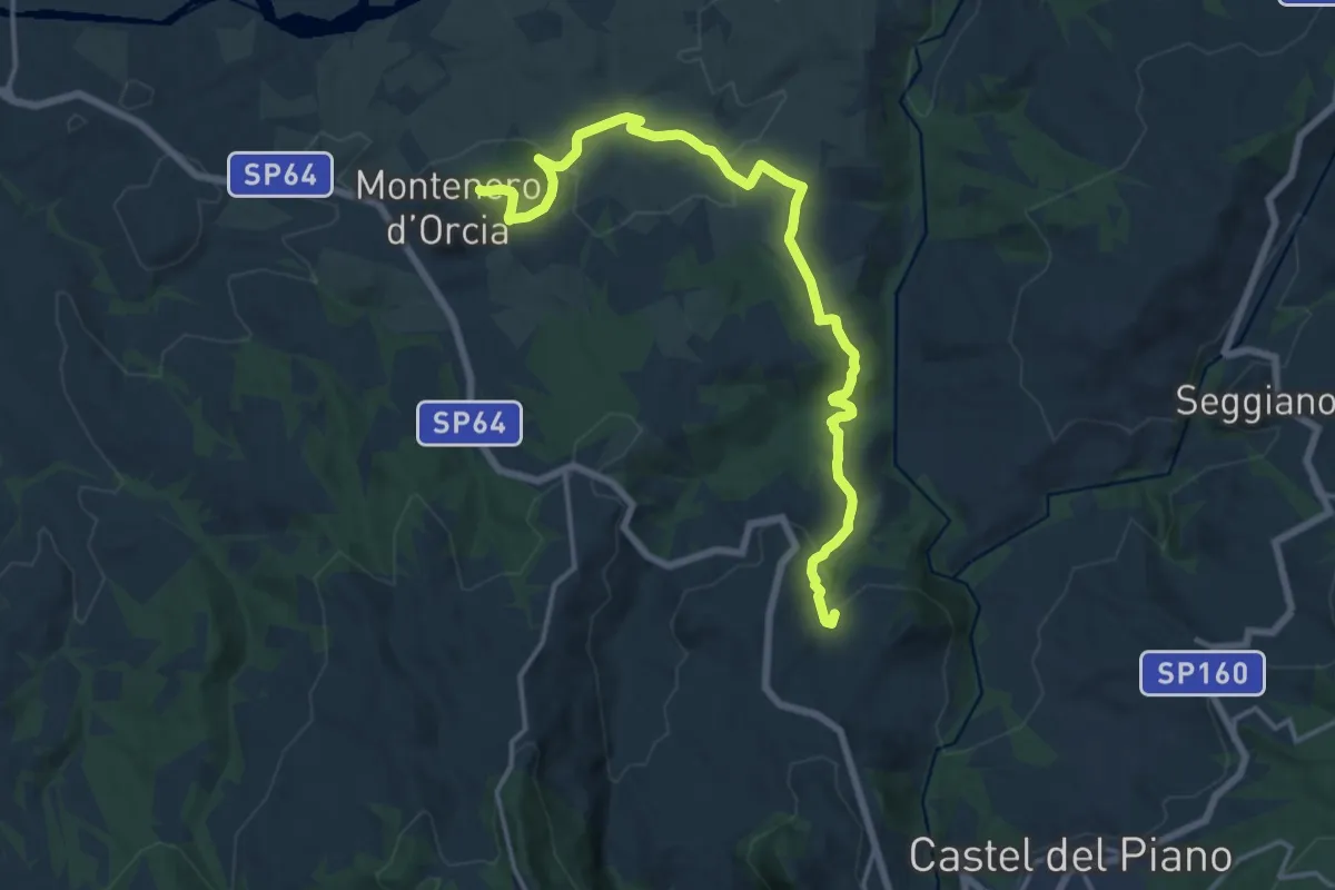
Demanding · Summit
Montenero d'Orcia – Montegiovi
18.4 km · ↑ 612 m · 5 h 40 min · 13 km away
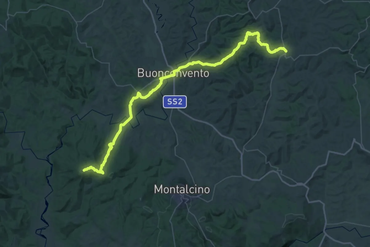
Demanding · Trail
Chiusdino – Trequanda
26.2 km · ↑ 693 m · 7 h 57 min · 13 km away
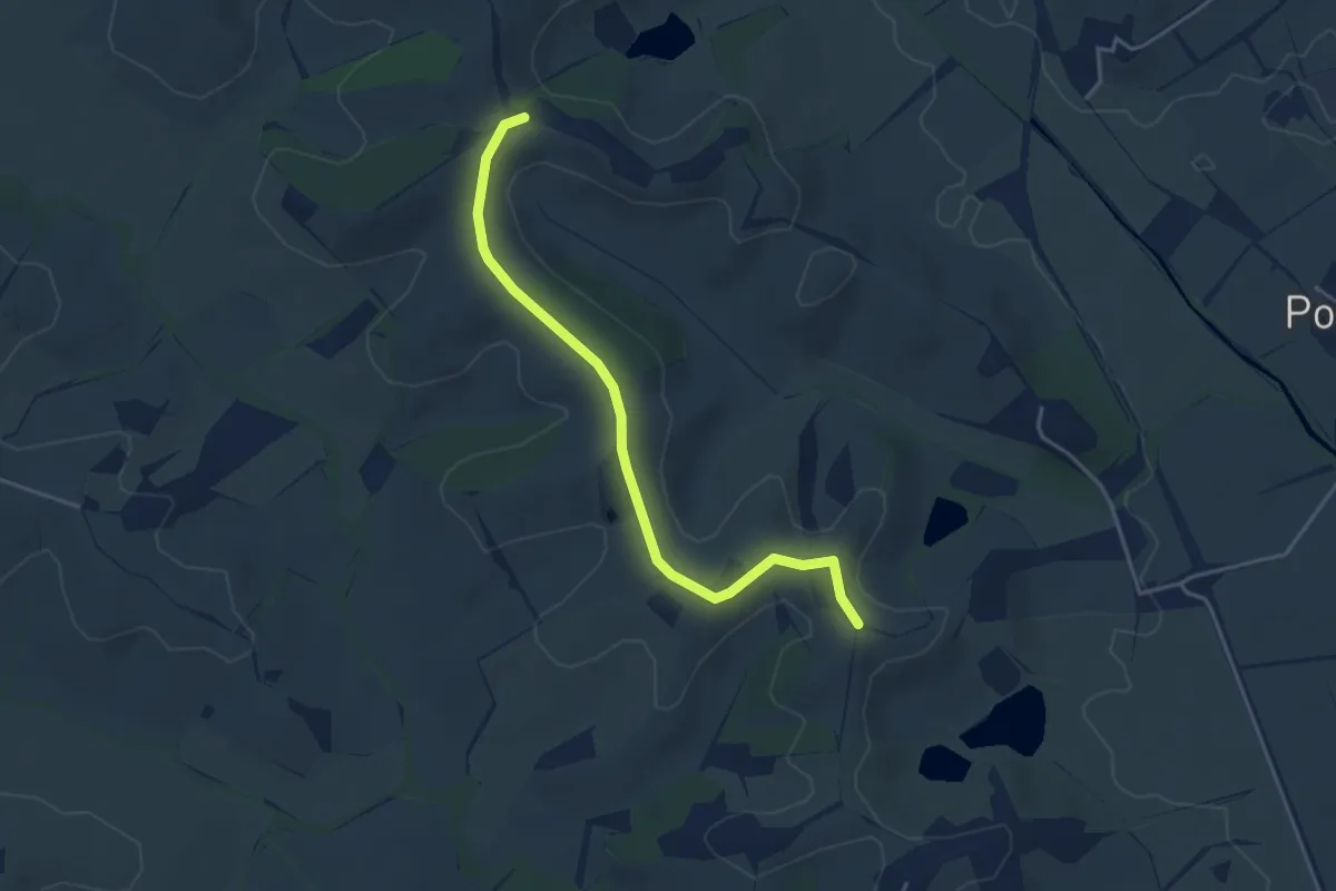
Easy · Trail
500 Variante
4.3 km · ↑ 37 m · 1 h 6 min · 14 km away
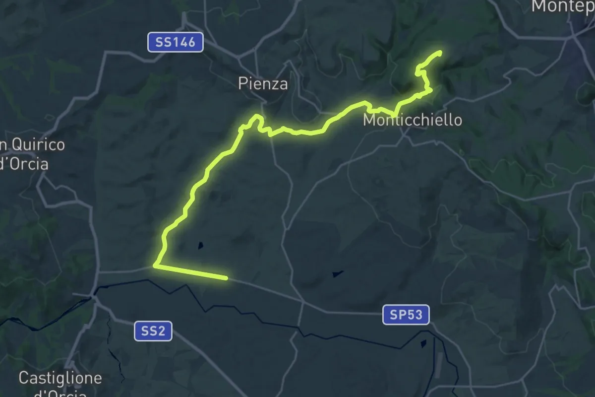
Demanding · Summit
Sentiero della Via Barlettaia
28.6 km · ↑ 512 m · 7 h 52 min · 15 km away
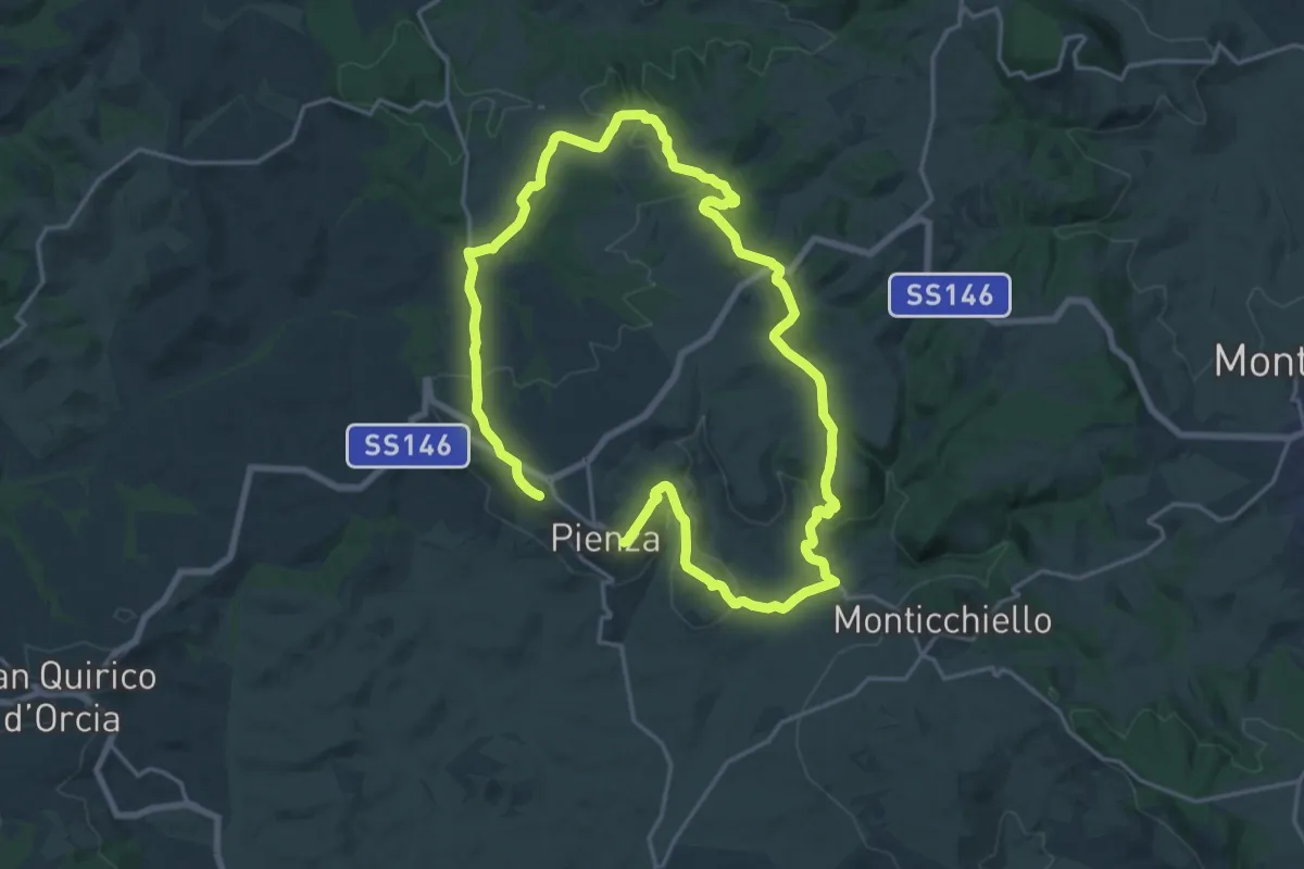
Medium · Trail
Cacciaconti
17.7 km · ↑ 385 m · 5 h 15 min · 15 km away
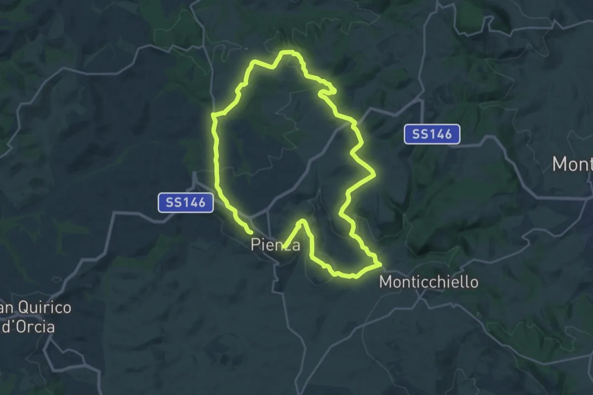
Demanding · Trail
Albergo
18.3 km · ↑ 374 m · 5 h 22 min · 15 km away