Trails near Montecatini Terme
73 hikes starting within 15 km, nearest first.
Nearest first, page 2 of 2
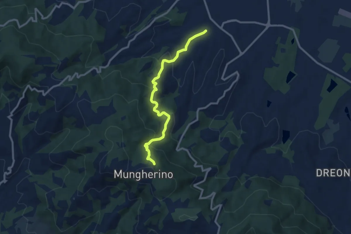
Medium · Trail
Casalguidi – innesto sentiero 800
7.1 km · ↑ 422 m · 2 h 36 min · 11 km away
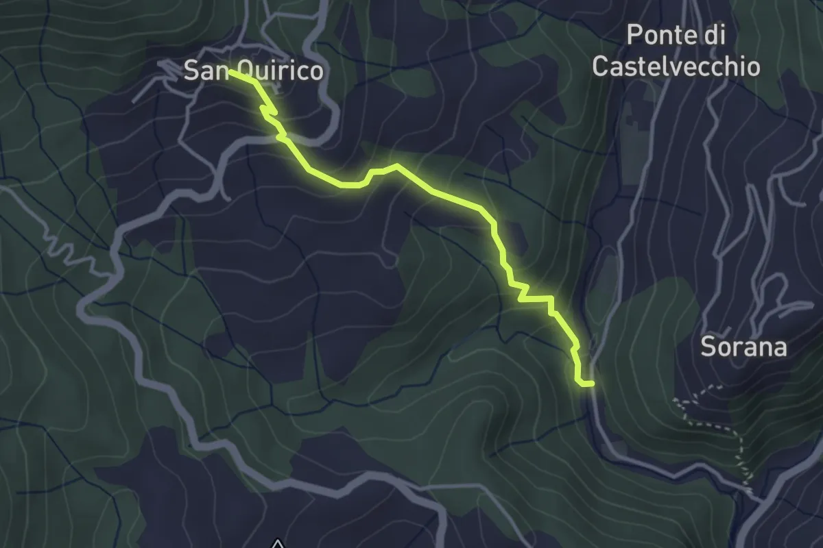
Easy · Trail
Mulino del Monti – San Quirico
3.3 km · ↑ 274 m · 1 h 23 min · 12 km away
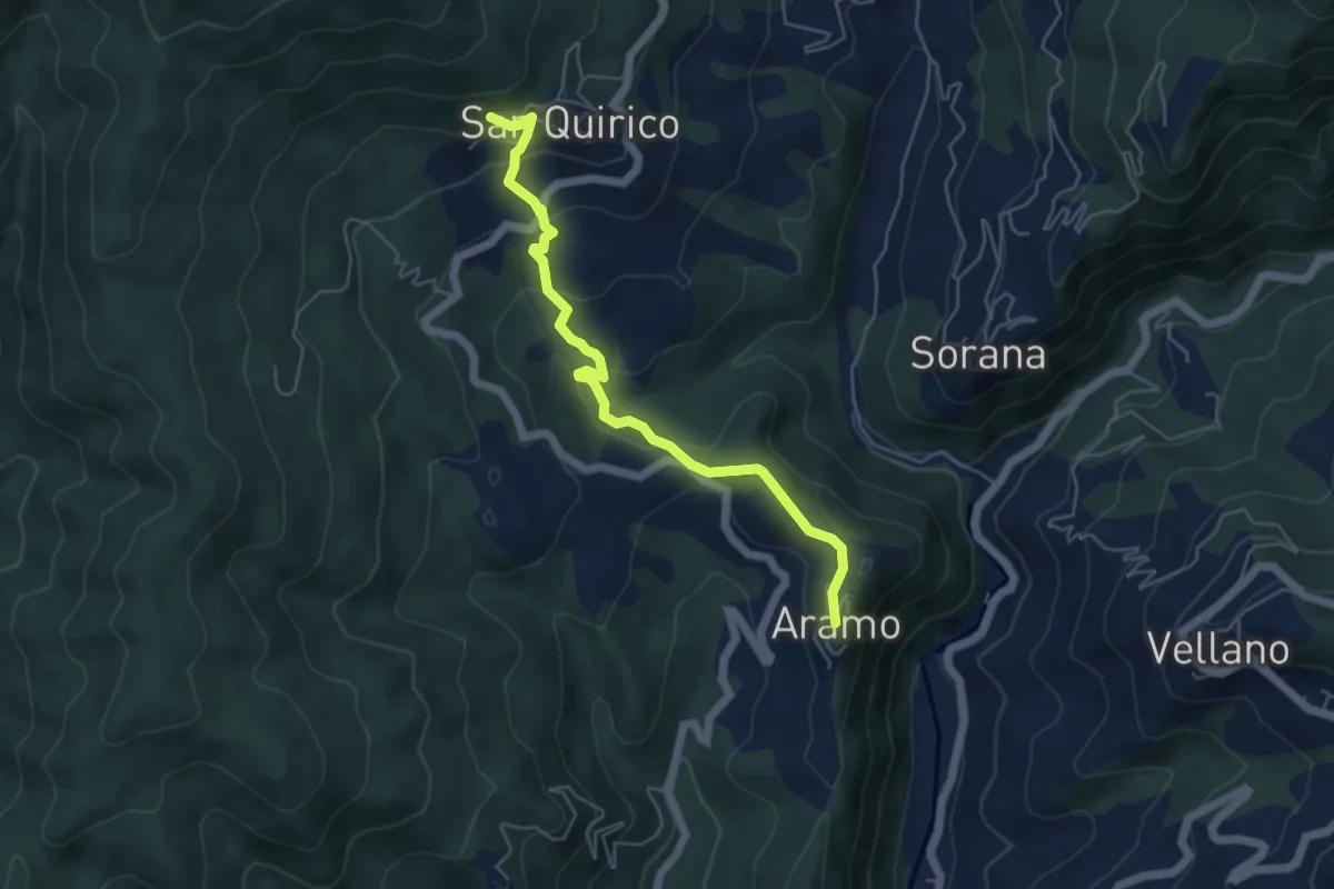
Easy · Trail
Aramo – San Quirico
2.8 km · ↑ 48 m · 53 min · 12 km away
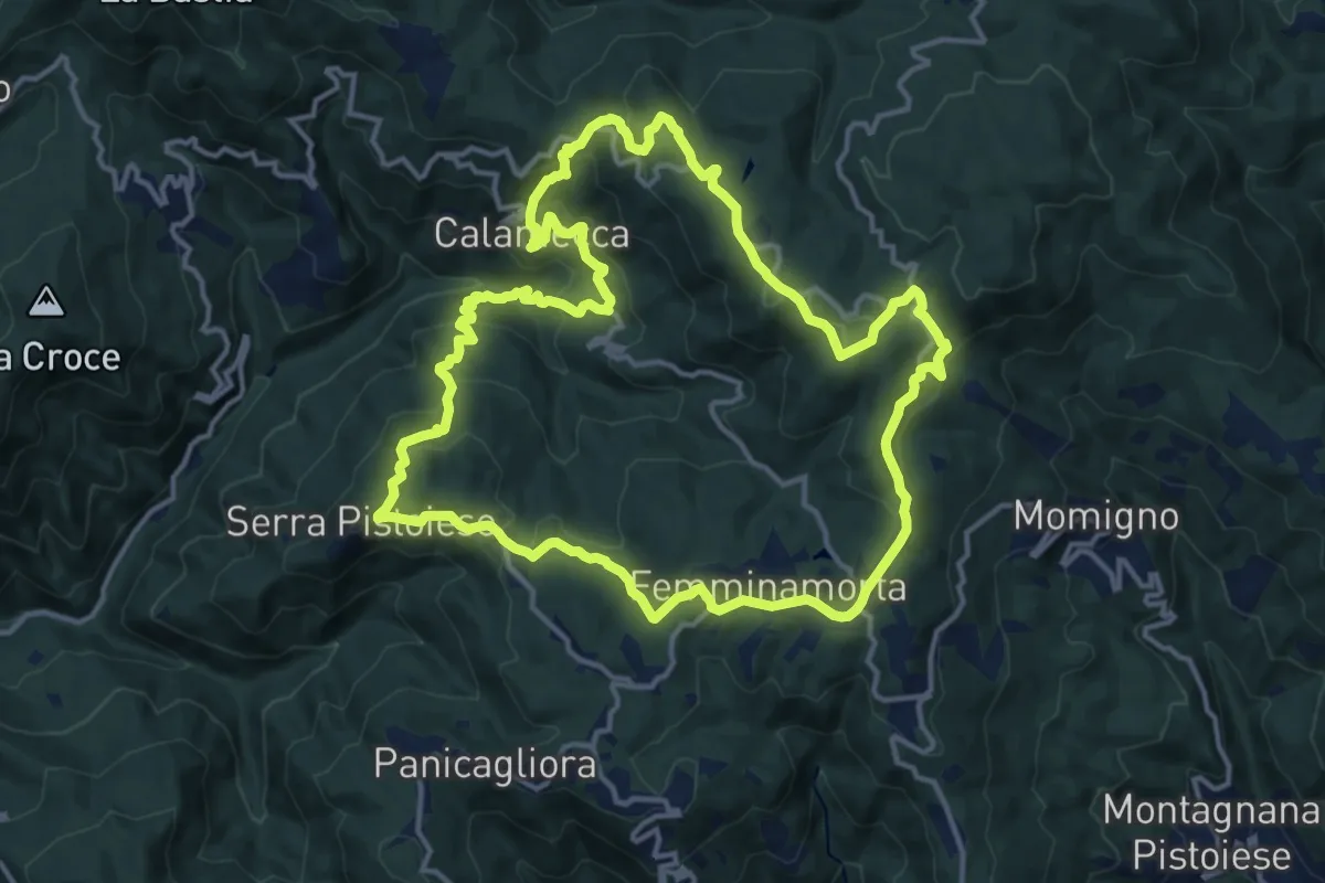
Medium · Summit
Anello 1 - Sentiero dei borghi
15.3 km · ↑ 689 m · 5 h 19 min · 12 km away
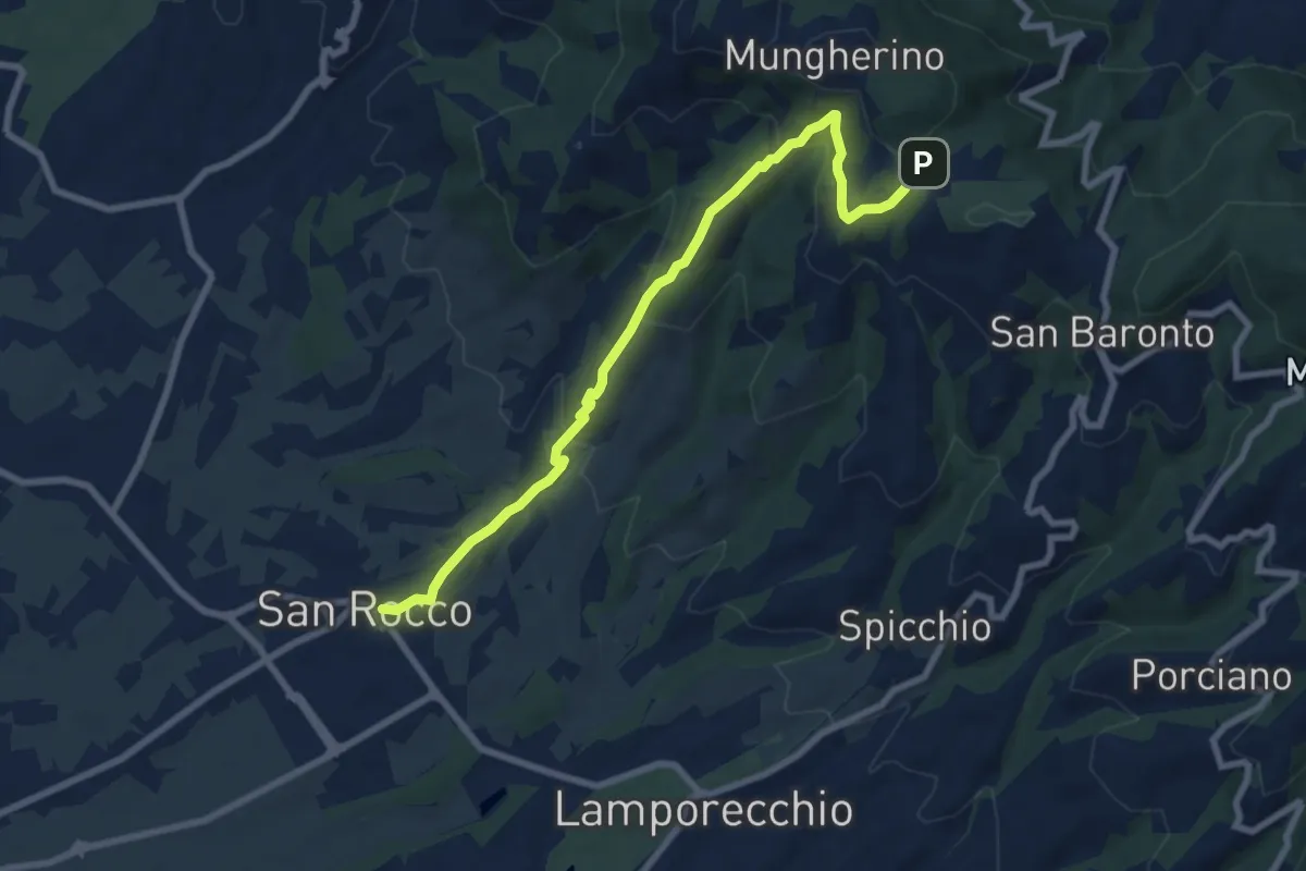
Medium · Trail
Larciano – innesto sentiero 800
8.6 km · ↑ 390 m · 2 h 53 min · 12 km away
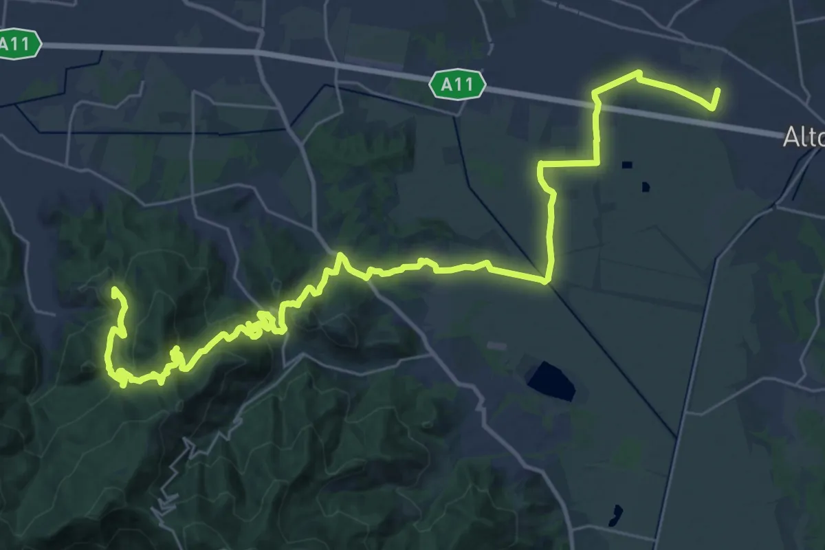
Demanding · Summit
Via Francigena - Variante Sant'Andrea di Compito
20.5 km · ↑ 689 m · 6 h 31 min · 12 km away
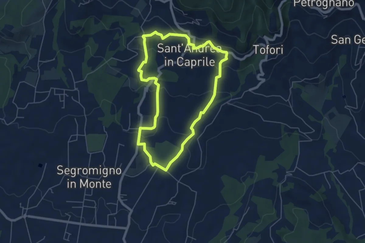
Easy · Trail
Sentiero n.14 "Sant'Andrea in Caprile"
5.2 km · ↑ 192 m · 1 h 43 min · 12 km away
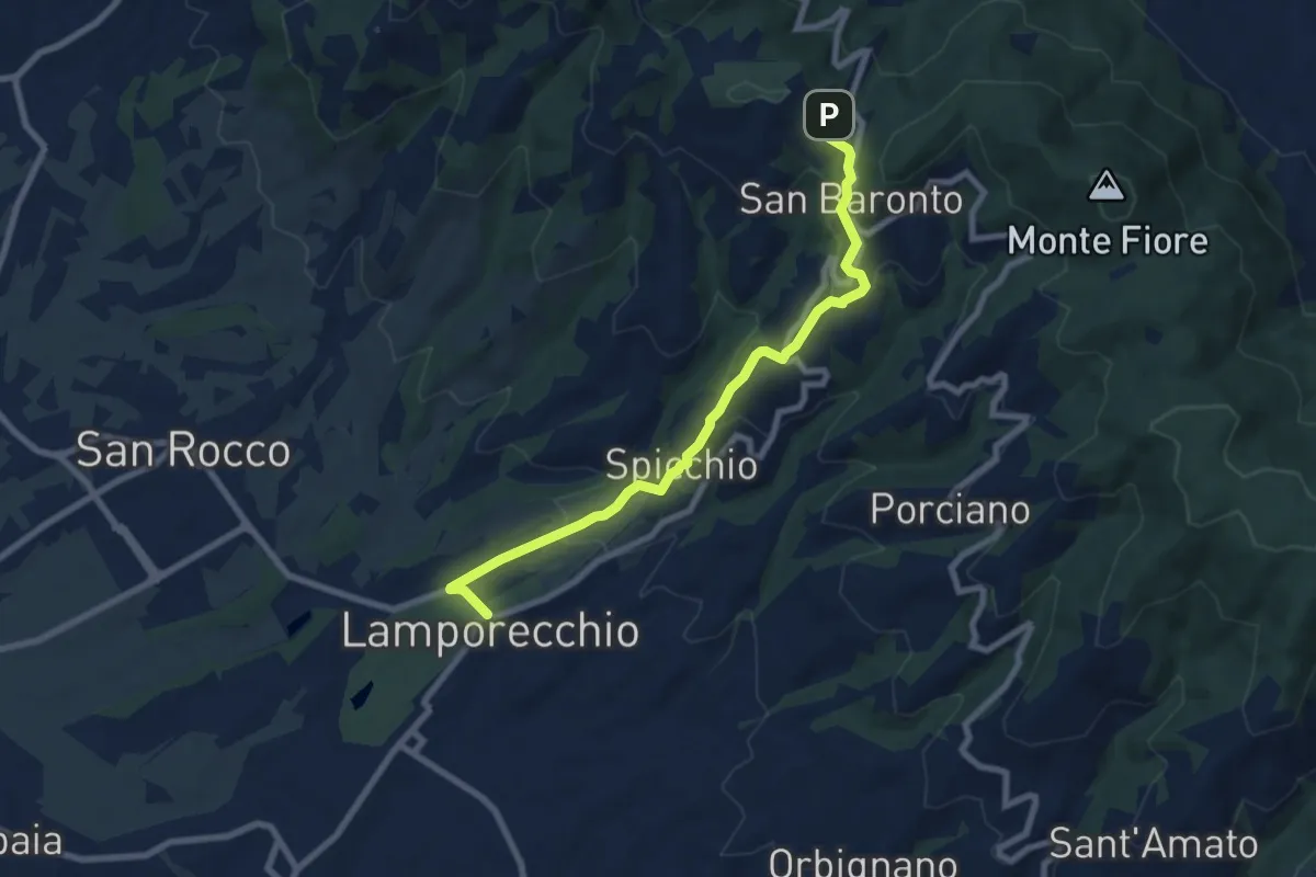
Medium · Trail
Lamporecchio – innesto sentiero 800
8.3 km · ↑ 305 m · 2 h 37 min · 13 km away
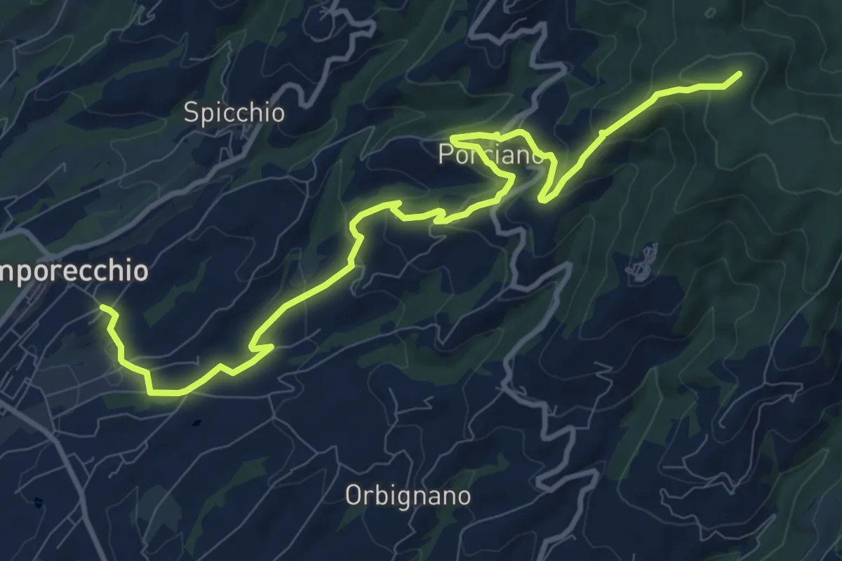
Medium · Summit
Lamporecchio – innesto sentiero 00
12.3 km · ↑ 546 m · 4 h 5 min · 13 km away
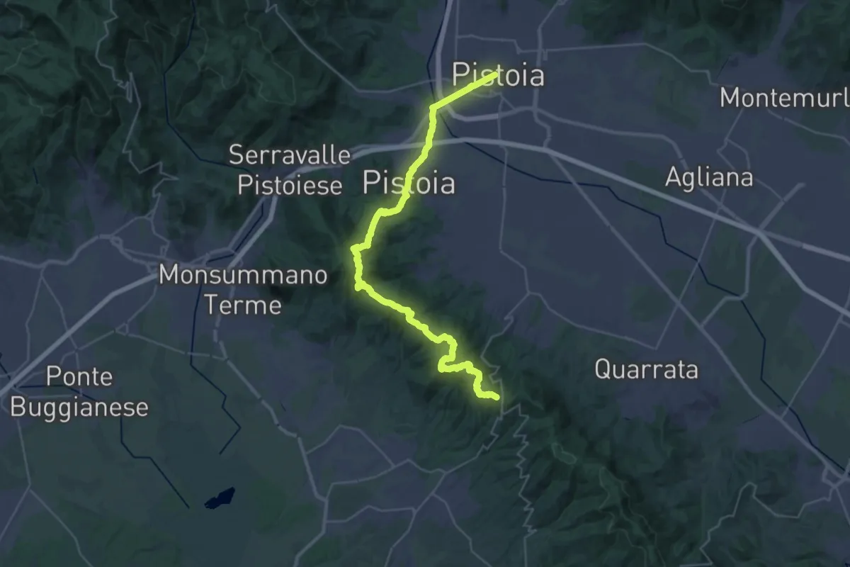
Demanding · Trail
Via Romea Nonantolana e Via della Sambuca: Tappa 7
18.7 km · ↑ 728 m · 6 h 7 min · 13 km away
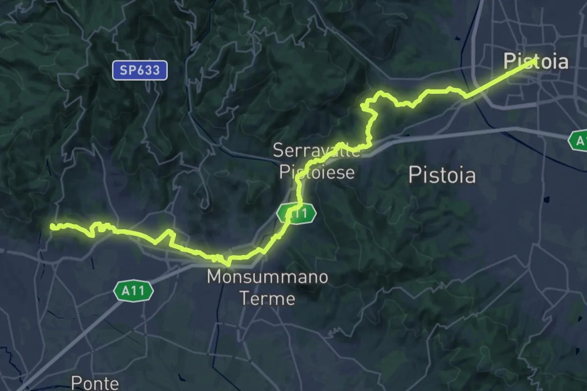
Demanding · Summit
Il Cammino di San Jacopo - Tappa 3
48.0 km · ↑ 989 m · 13 h 29 min · 13 km away
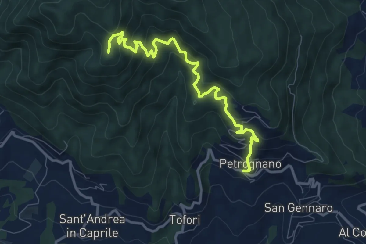
Demanding · Trail
Sentiero n.6 "Querce del Papa"
8.2 km · ↑ 820 m · 3 h 42 min · 13 km away
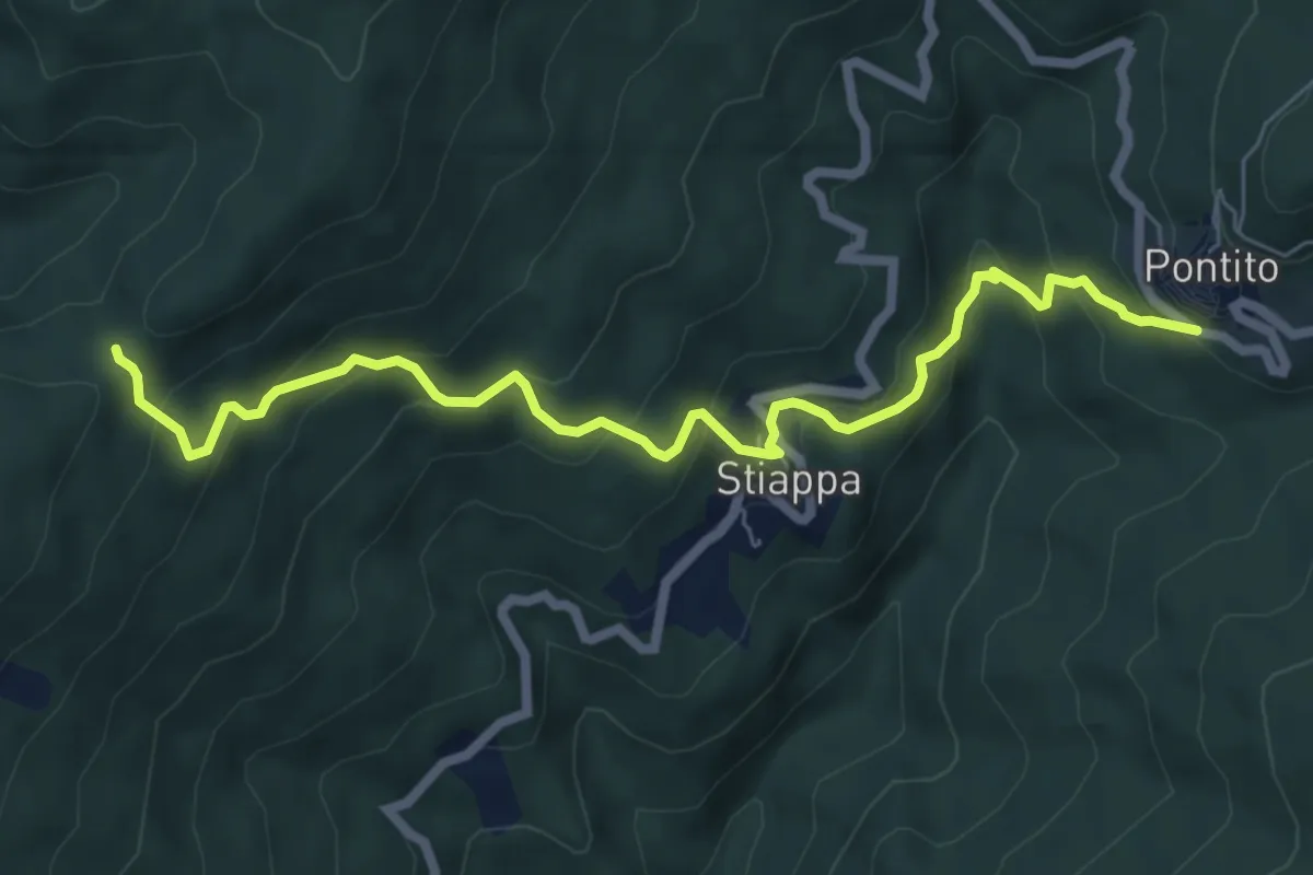
Medium · Trail
Pontito – Croce del Sargentino
7.5 km · ↑ 533 m · 2 h 56 min · 13 km away
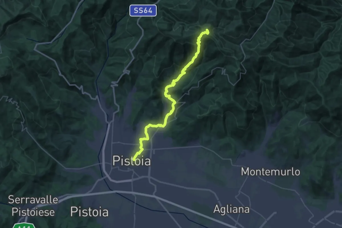
Demanding · Summit
Cammino di San Bartolomeo - TAPPA Spedaletto -Pistoia
29.3 km · ↑ 1358 m · 9 h 51 min · 13 km away
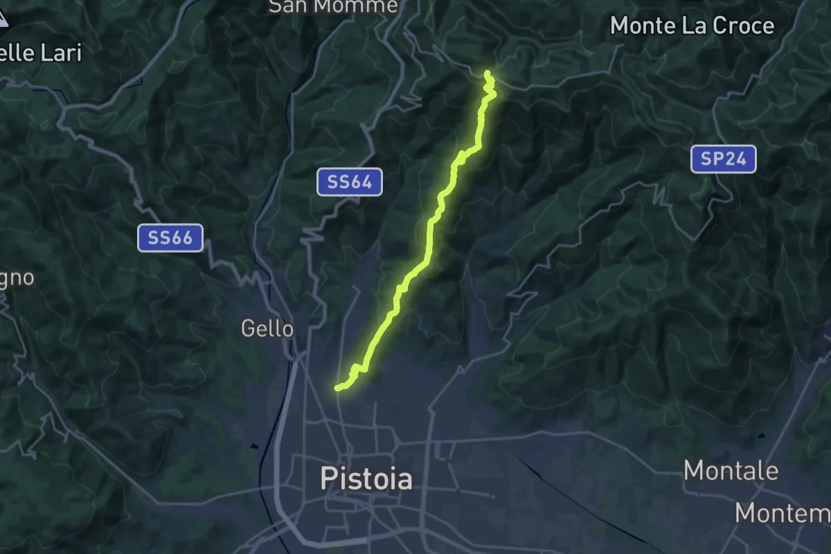
Demanding · Trail
Via delle Gaine - (Pistoia) – innesto sentiero 00
18.7 km · ↑ 959 m · 6 h 30 min · 13 km away
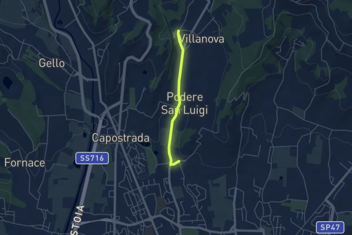
Easy · Pilgrim path
Via Francesca della Sambuca BO-PT: Percorso diretto Via Valdibrana
1.9 km · ↑ 36 m · 32 min · 14 km away
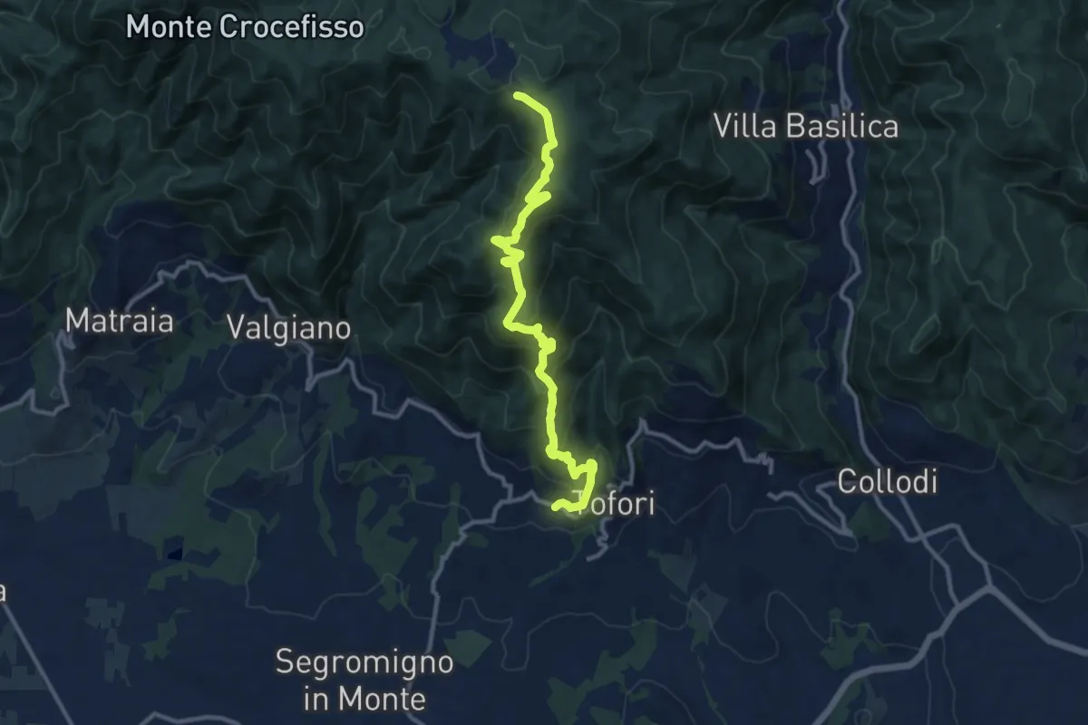
Medium · Trail
Sentiero n.5 "Prato di Rimogno"
11.8 km · ↑ 756 m · 4 h 25 min · 14 km away
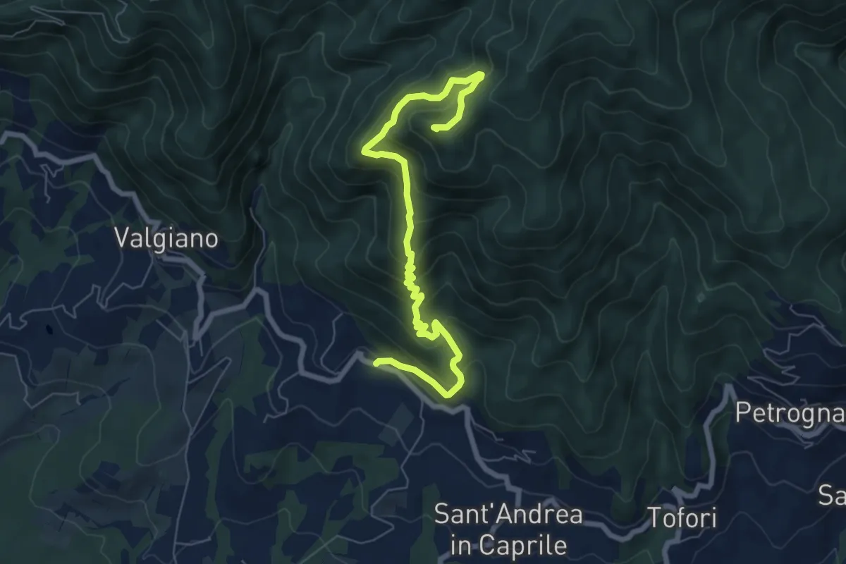
Medium · Summit
Sentiero n.4 "Monte Scarpiglione"
7.7 km · ↑ 632 m · 3 h 11 min · 14 km away
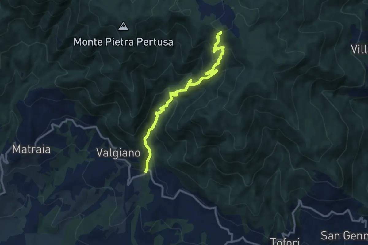
Medium · Trail
Sentiero n.3 "La Cartiera"
8.5 km · ↑ 647 m · 3 h 25 min · 14 km away
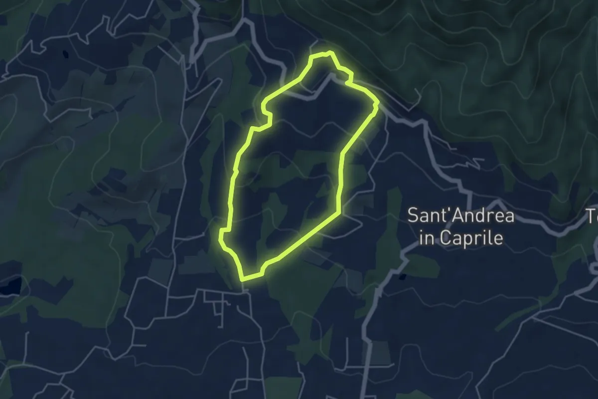
Easy · Trail
Sentiero n.13 "San Pietro a Marcigliano"
3.9 km · ↑ 213 m · 1 h 26 min · 14 km away
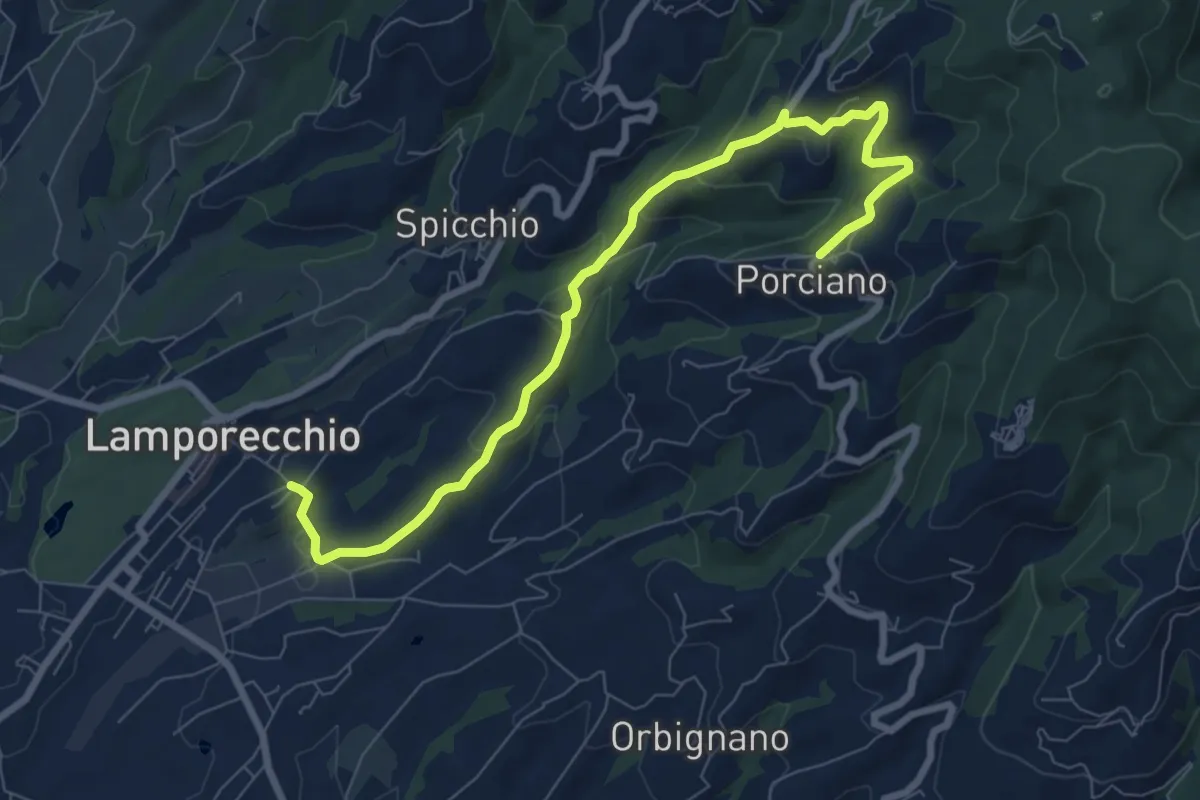
Medium · Trail
Lamporecchio – Porciano
9.1 km · ↑ 368 m · 2 h 56 min · 14 km away
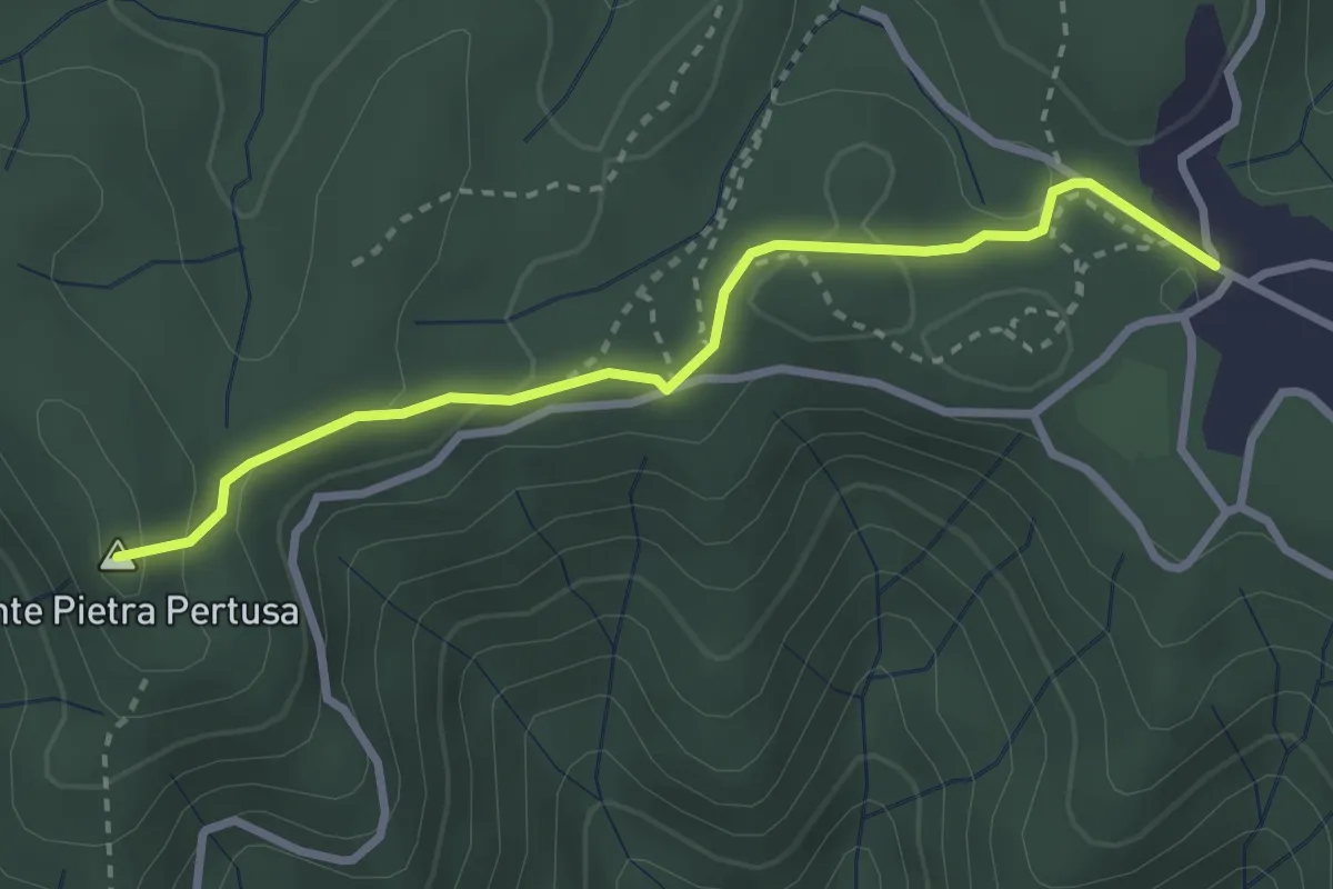
Easy · Summit
Sentiero n.2 "Pietra Pertusa"
3.1 km · ↑ 89 m · 55 min · 14 km away
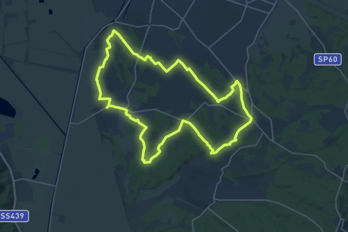
Demanding · Trail
Grande Anello di Orentano
19.4 km · ↑ 112 m · 5 h 6 min · 15 km away
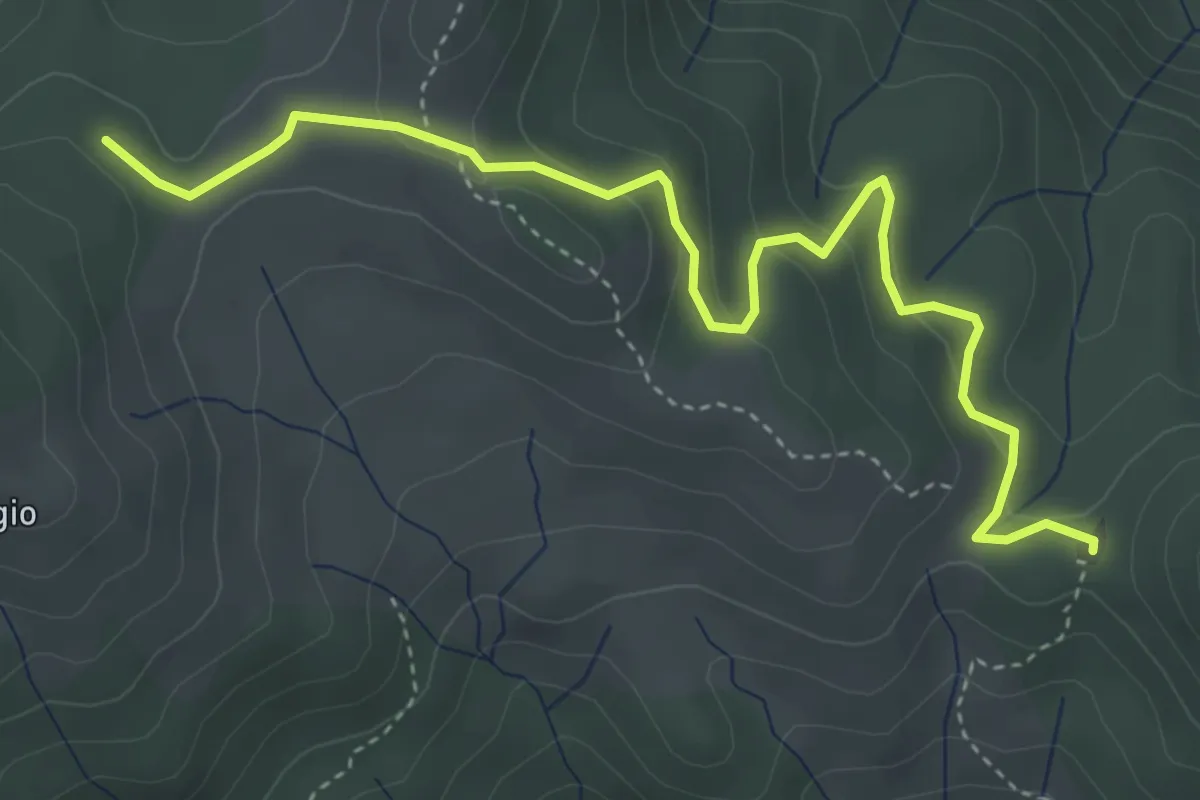
Easy · Summit
Croce a Veglia – Le Pracchie
2.5 km · ↑ 159 m · 55 min · 15 km away
Demanding · Pilgrim path
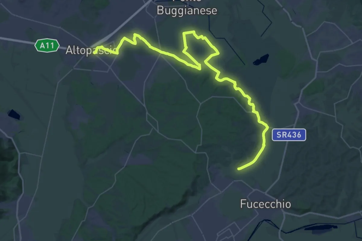
Via Francigena - Variante d'acqua
25.8 km · ↑ 93 m · 6 h 39 min · 15 km away