Trails near Montecchio Maggiore
86 hikes starting within 15 km, nearest first.
Nearest first, page 2 of 2
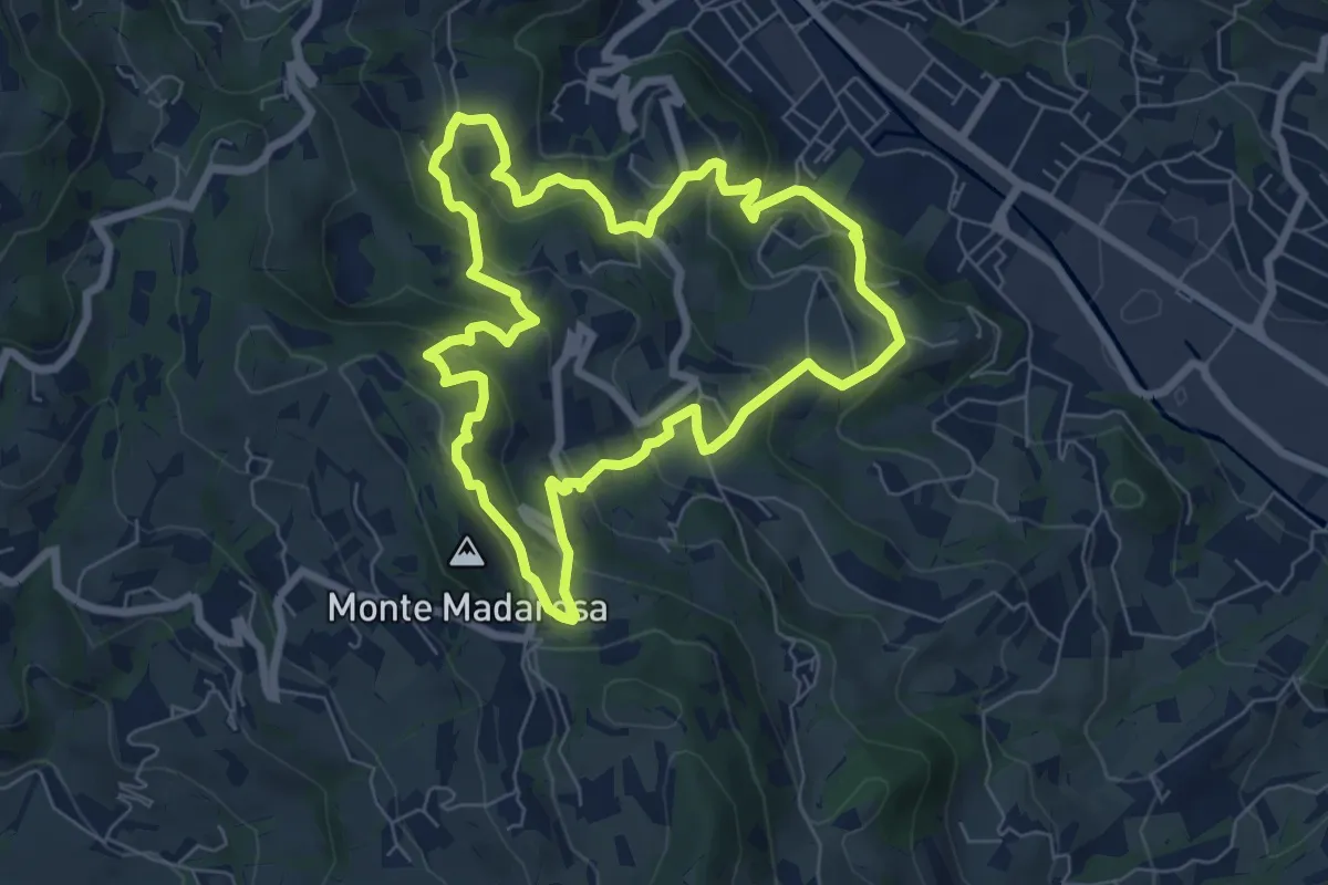
Medium · Summit
Il Sentiero delle Marogne
7.0 km · ↑ 385 m · 2 h 35 min · 11 km away
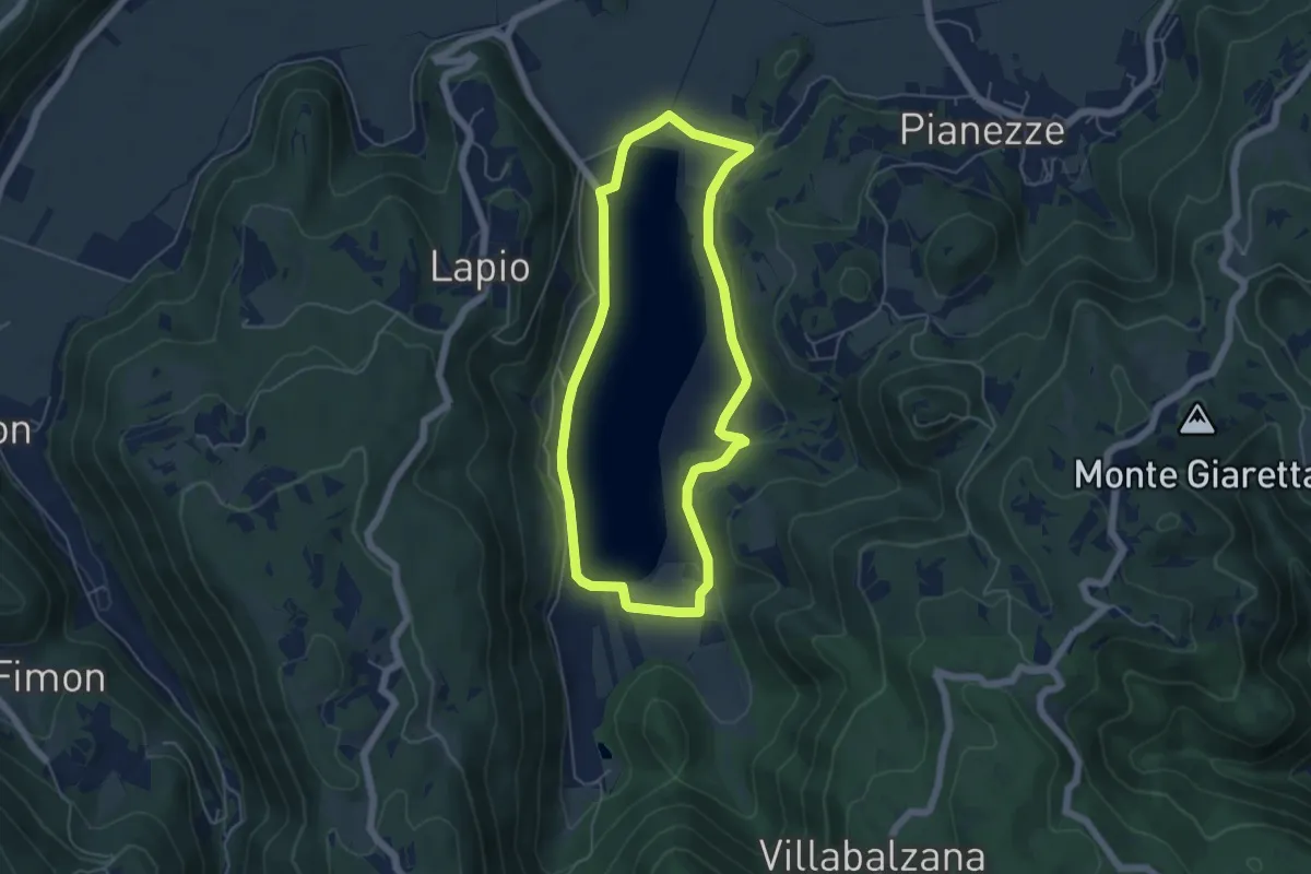
Easy · Trail
Percorso ARANCIO - Lago Alto
5.0 km · ↑ 56 m · 1 h 22 min · 11 km away
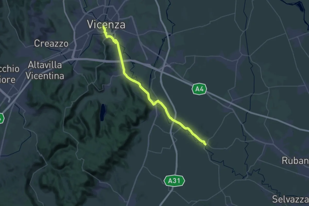
Medium · Trail
Cammino Fogazzaro Roi - Tappa 1
17.6 km · ↑ 72 m · 4 h 35 min · 12 km away
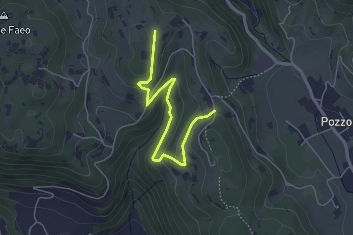
Easy · Trail
Sentiero n. 53 variante delle Vaccarette o della Fontana del Marcolin
4.4 km · ↑ 145 m · 1 h 21 min · 12 km away
Easy · Trail
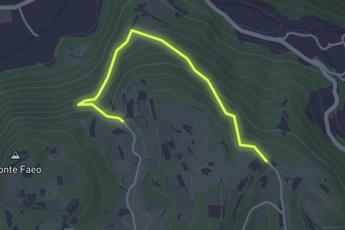
Sentiero n. 53 variante della Fontana dei Casalini
3.3 km · ↑ 194 m · 1 h 12 min · 12 km away
Medium · Summit
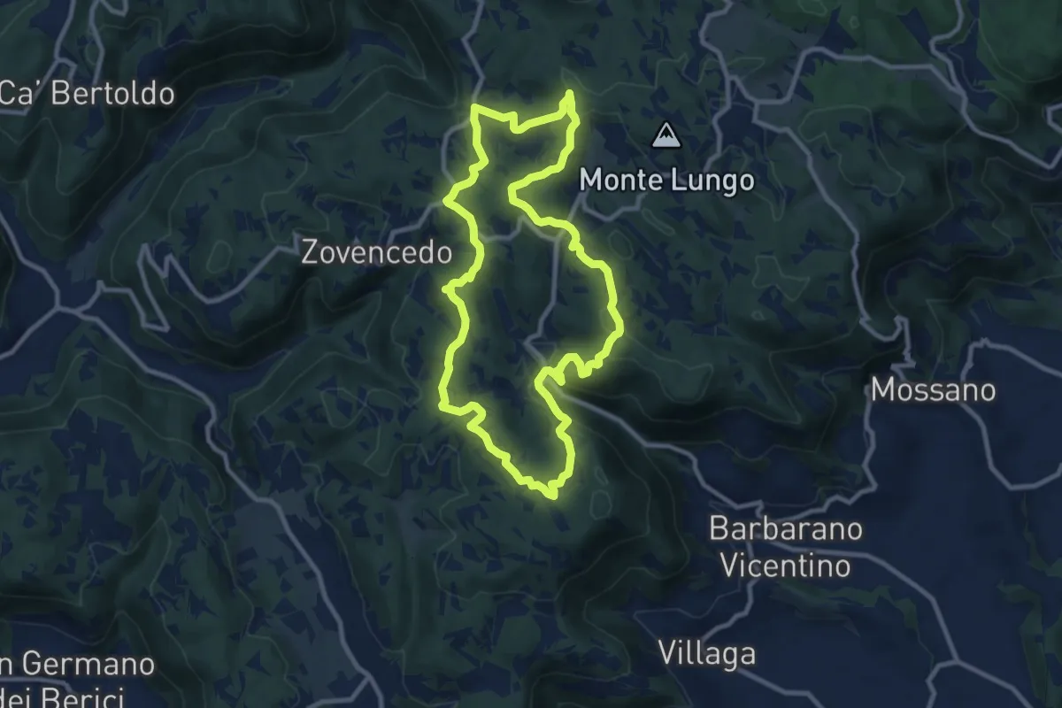
Sentiero delle Fontanelle
9.6 km · ↑ 302 m · 3 h 4 min · 12 km away
Easy · Summit
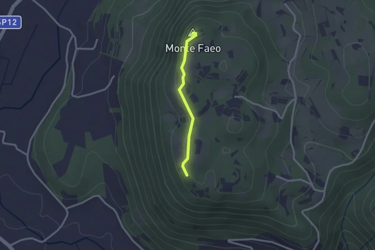
Sentiero n. 53 Variante del Monte Faeo
1.8 km · ↑ 29 m · 29 min · 12 km away
Demanding · Summit
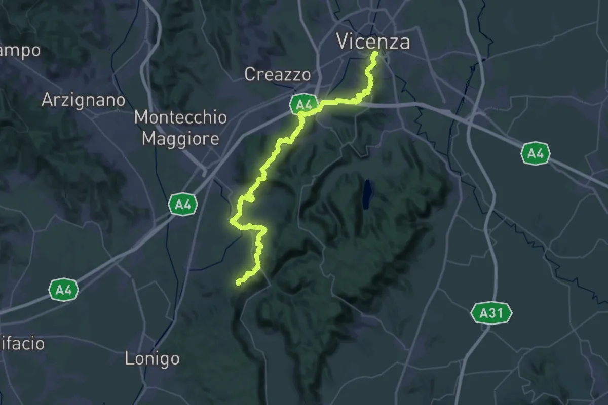
Vicenza – Lonigo
49.2 km · ↑ 1368 m · 14 h 34 min · 12 km away
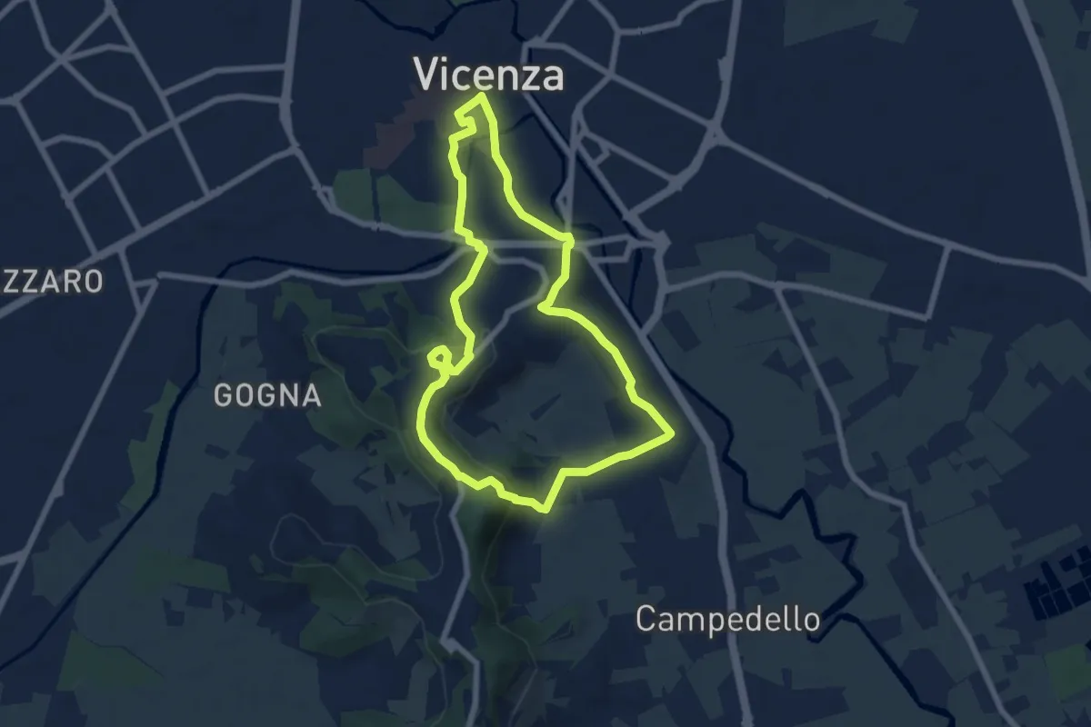
Easy · Trail
Anello Trekking urbano
6.4 km · ↑ 198 m · 2 h 2 min · 12 km away
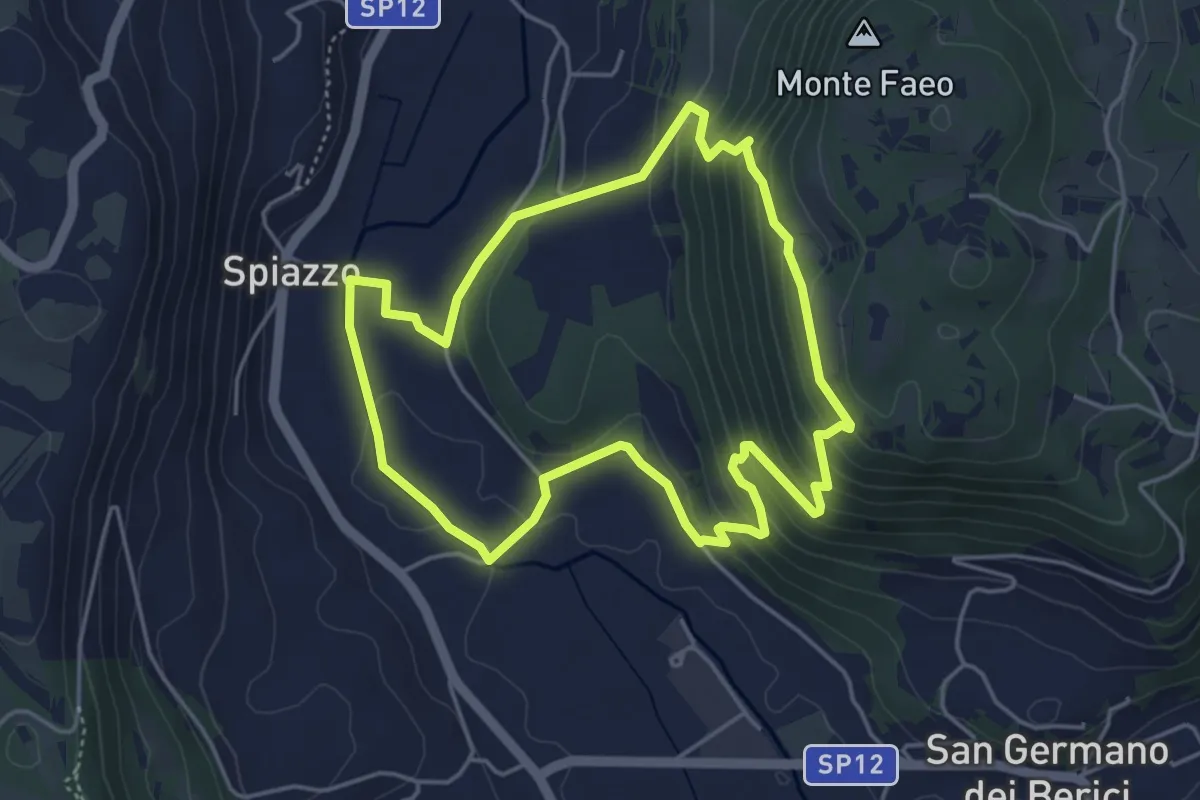
Easy · Trail
Sentiero n. 65 della Madonnetta o dei Frati
4.5 km · ↑ 229 m · 1 h 37 min · 12 km away
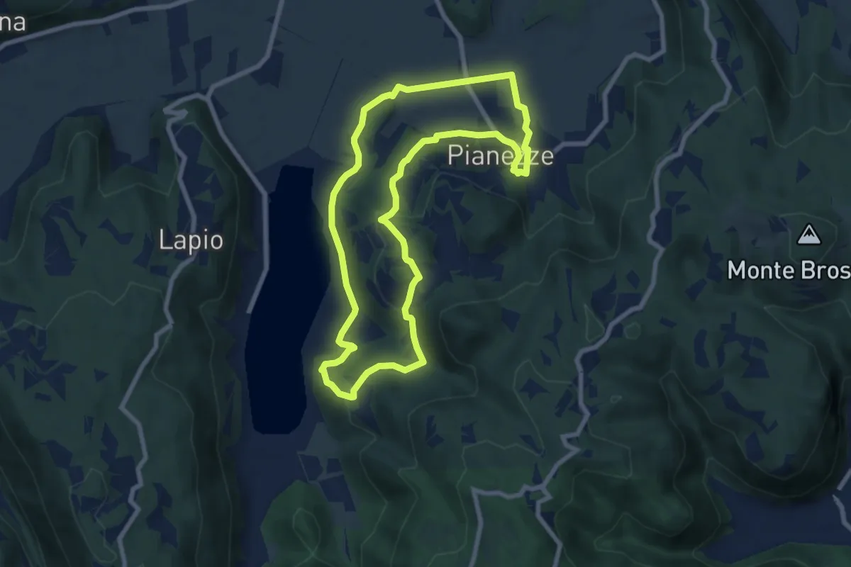
Easy · Summit
Sentiero del donatore Lago-Pianezze
7.1 km · ↑ 205 m · 2 h 13 min · 12 km away
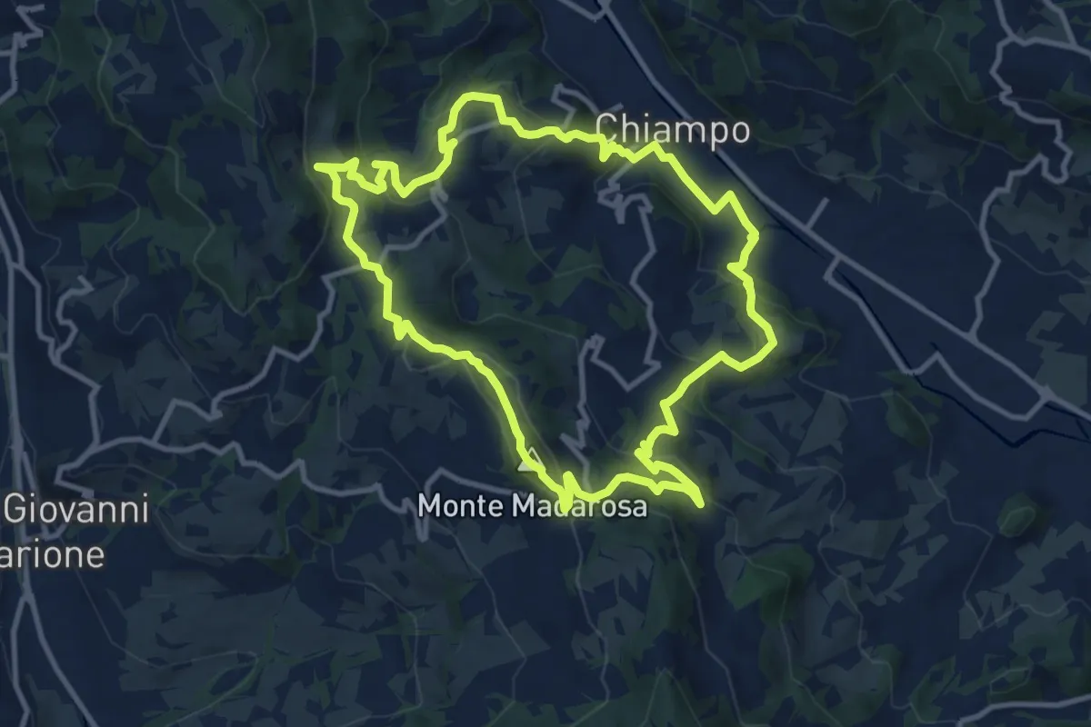
Medium · Summit
Il Sentiero delle Marogne 2
10.8 km · ↑ 479 m · 3 h 45 min · 12 km away
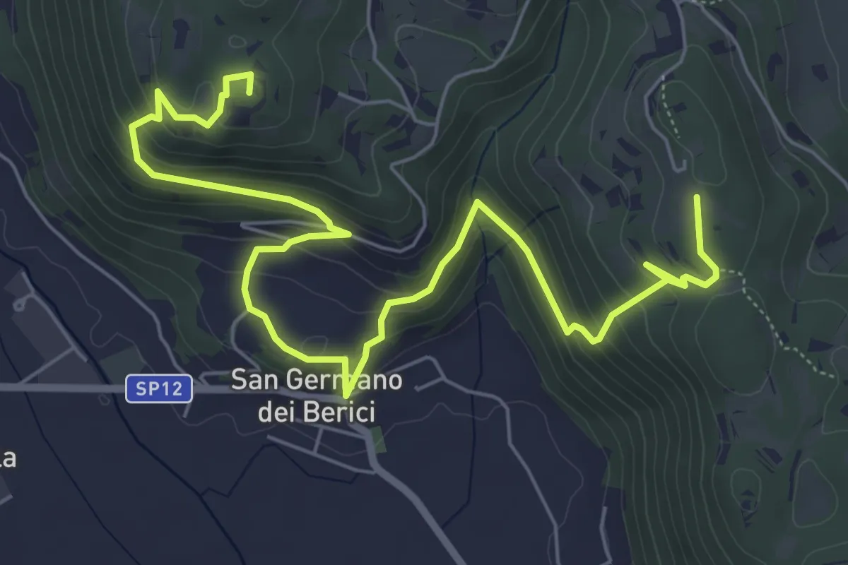
Medium · Summit
Sentiero n. 53 dei Curì e della Lupia (o di San Germano)
8.7 km · ↑ 500 m · 3 h 9 min · 13 km away
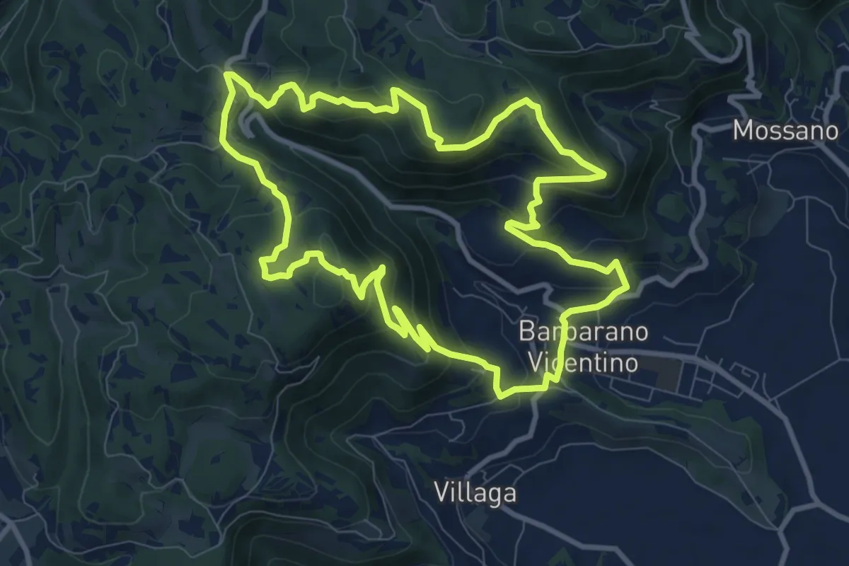
Medium · Summit
Sentiero della Cengia
9.4 km · ↑ 500 m · 3 h 25 min · 13 km away
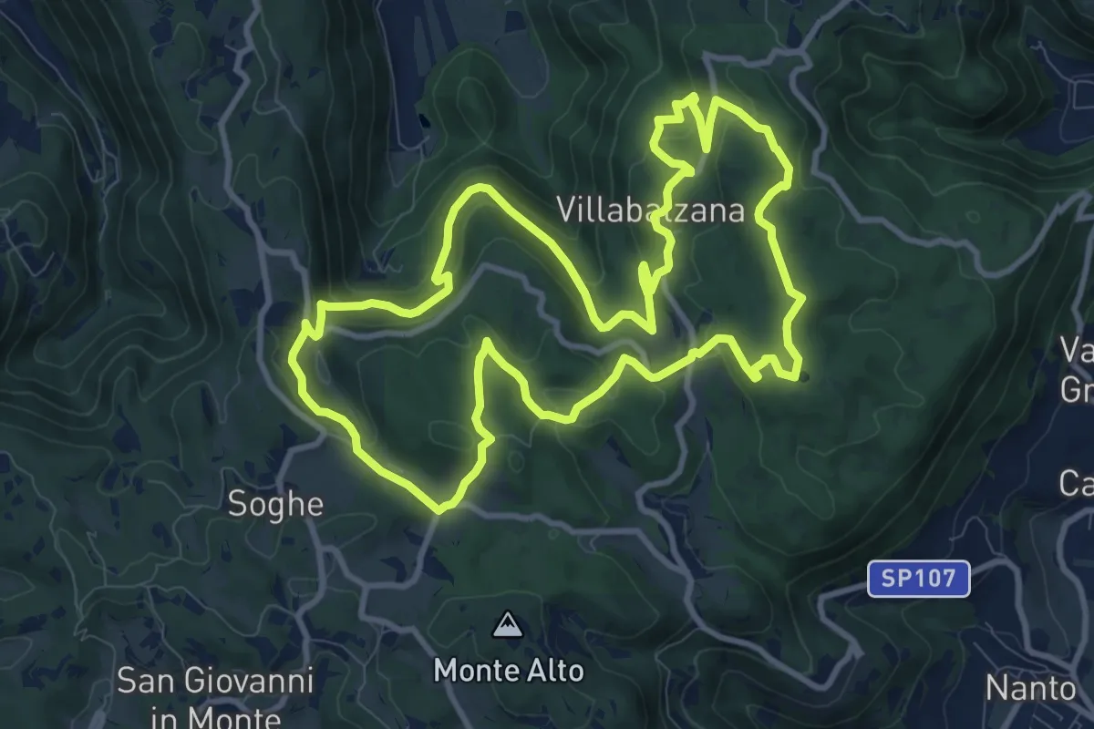
Medium · Summit
Sentiero delle Priare di Villabalzana
10.8 km · ↑ 422 m · 3 h 36 min · 13 km away
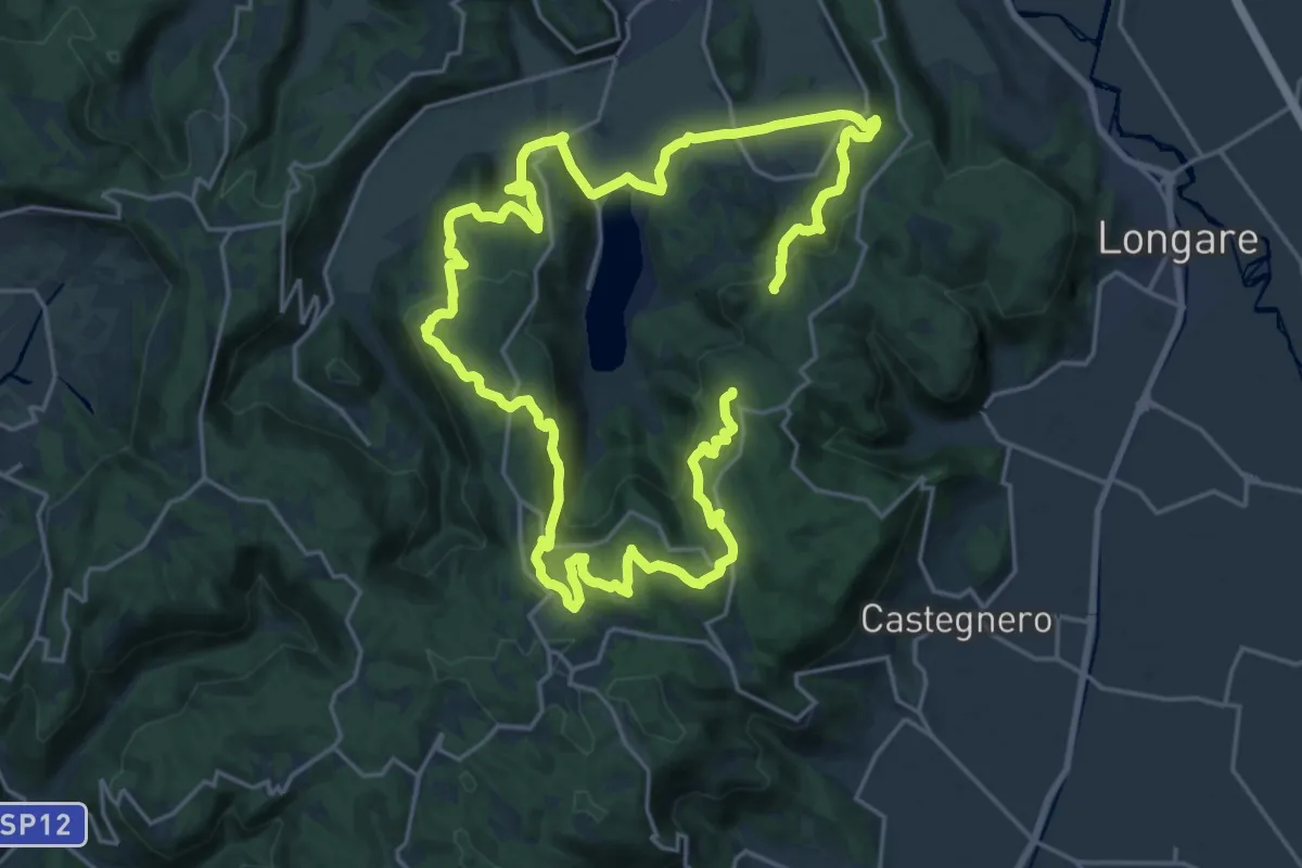
Demanding · Summit
Black Green Trail
39.6 km · ↑ 1444 m · 12 h 28 min · 13 km away
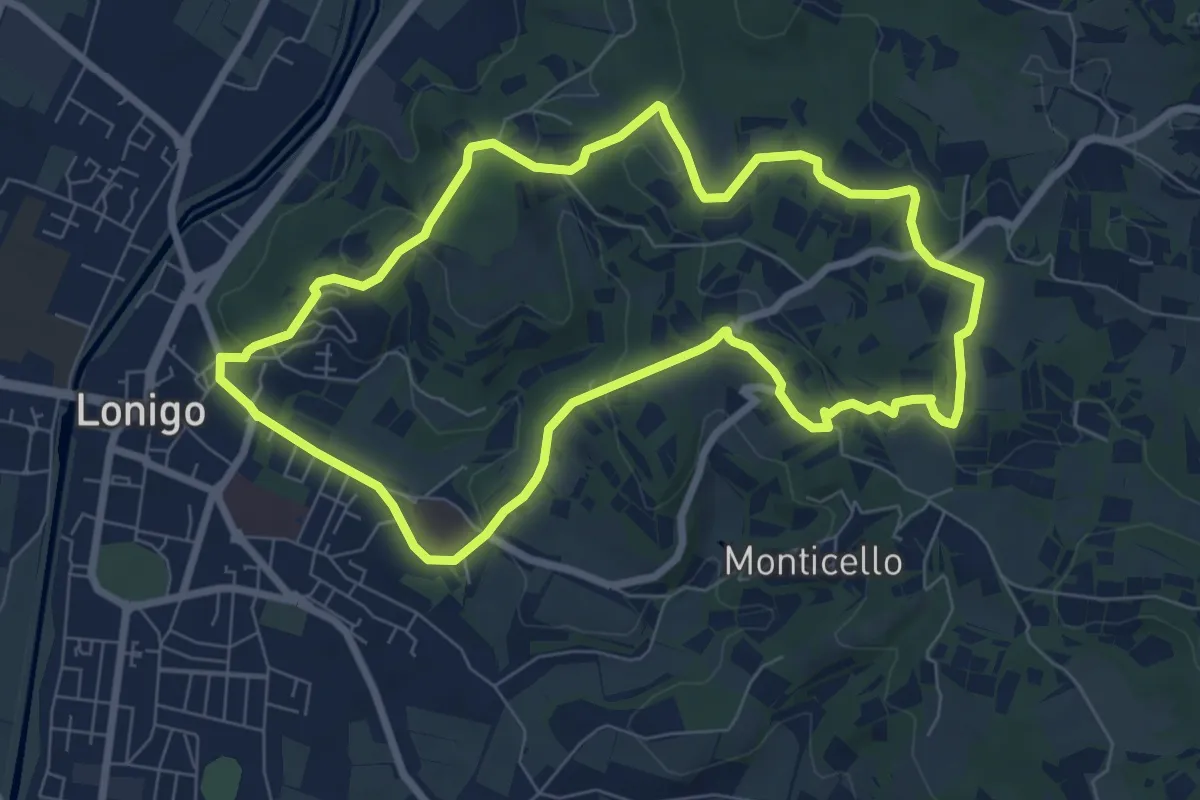
Medium · Trail
Sentiero dei Monti di Lonigo
7.7 km · ↑ 183 m · 2 h 19 min · 13 km away
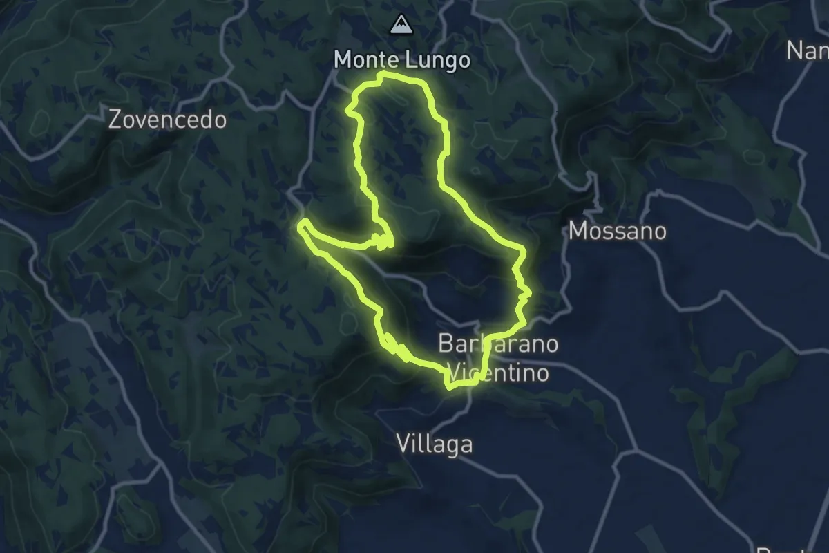
Medium · Summit
Sentiero della Scudelletta
10.0 km · ↑ 558 m · 3 h 43 min · 13 km away
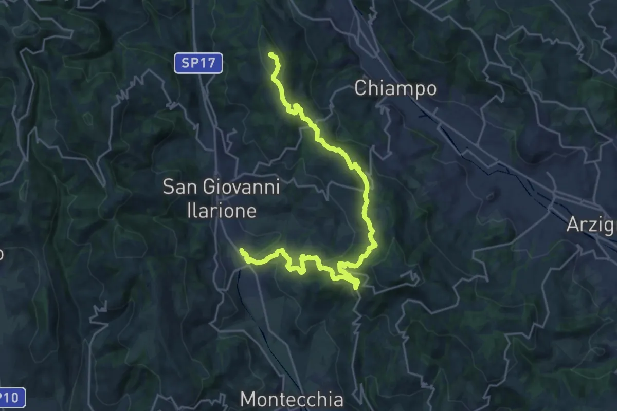
Demanding · Summit
Percorso dei sette vulcani tappa 1
23.1 km · ↑ 942 m · 7 h 30 min · 13 km away
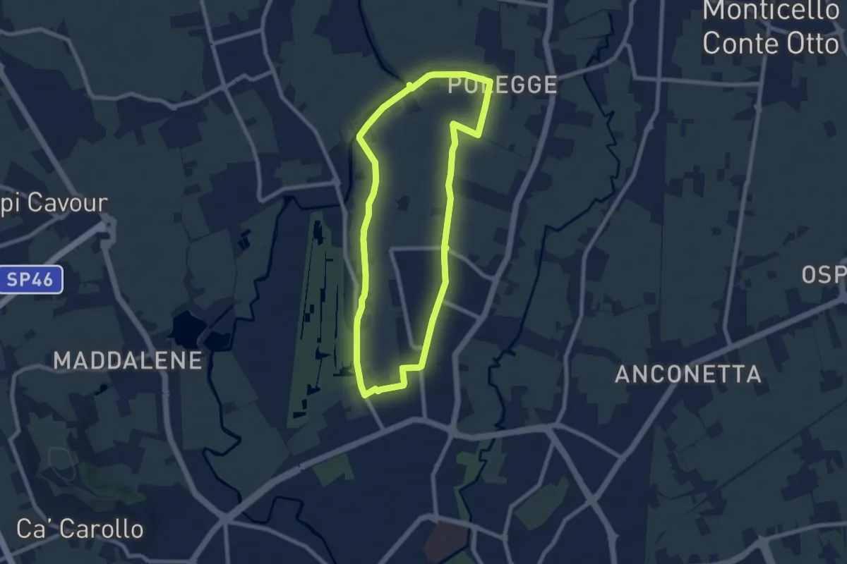
Easy · Trail
Anello Nord Laghetto
7.0 km · ↑ 0 m · 1 h 45 min · 13 km away
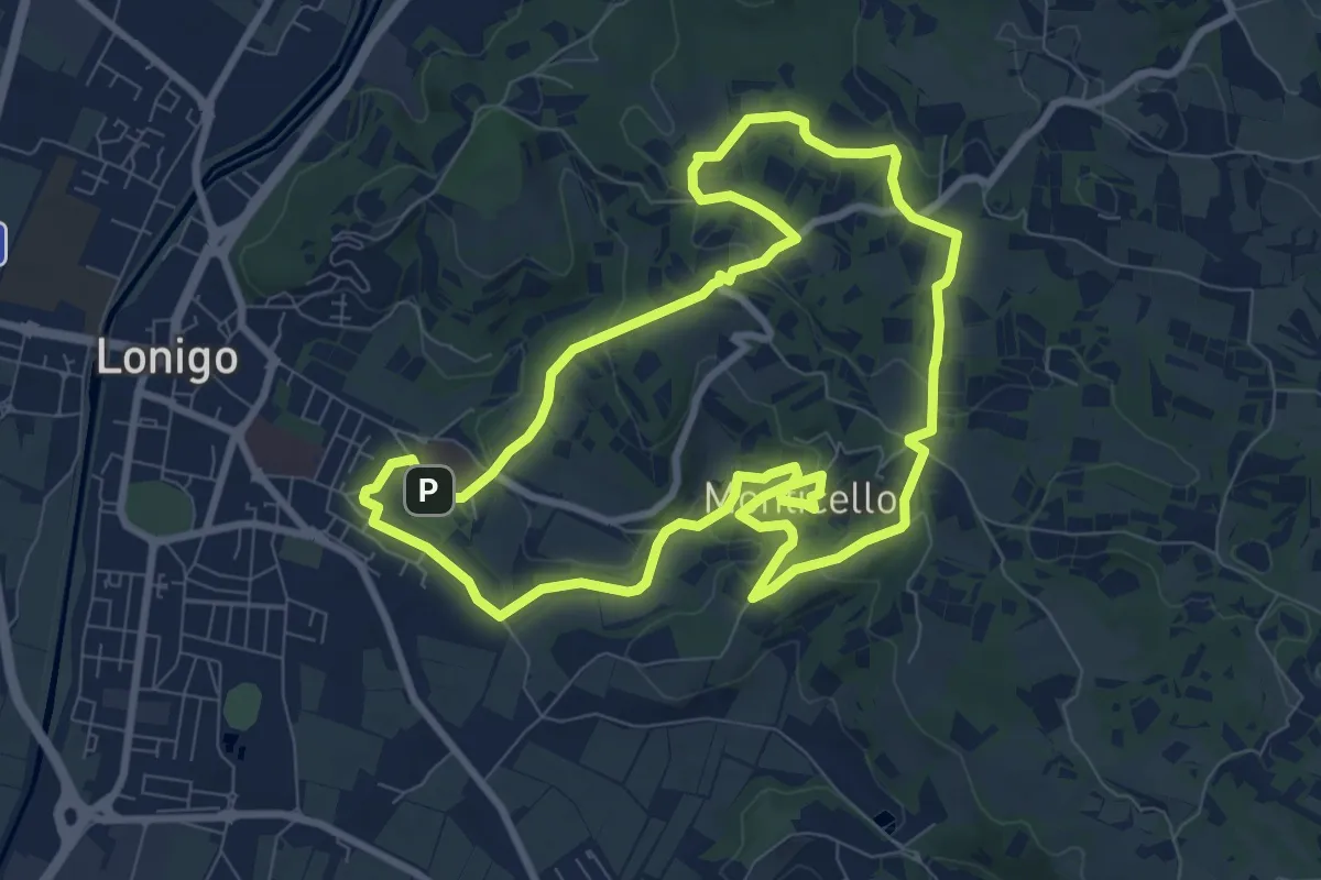
Medium · Trail
Sentiero delle Fontane
9.1 km · ↑ 207 m · 2 h 43 min · 14 km away
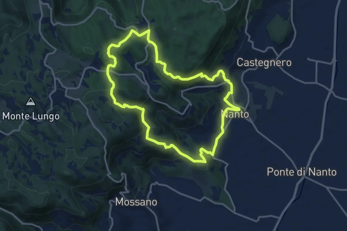
Medium · Summit
Sentiero dei Monti di Nanto
9.5 km · ↑ 452 m · 3 h 21 min · 14 km away
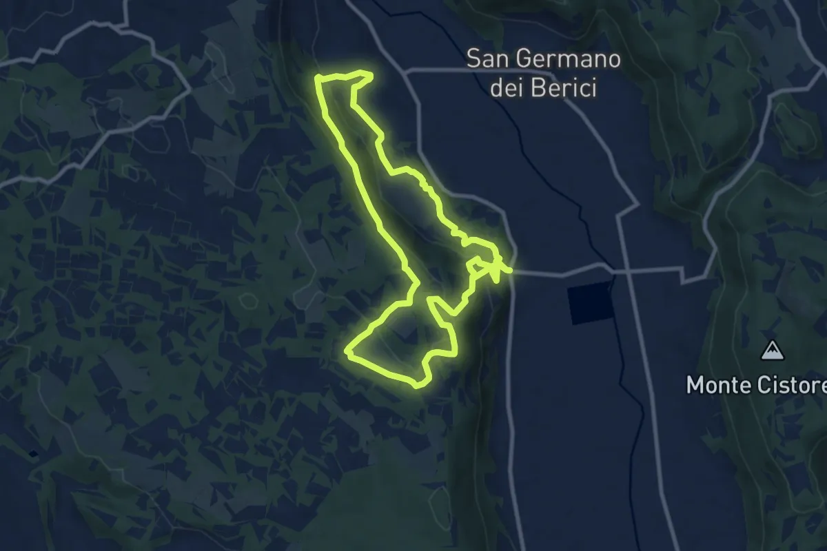
Medium · Trail
Sentiero n. 51 di Villa del Ferro o del Donatore
17.9 km · ↑ 650 m · 5 h 38 min · 14 km away
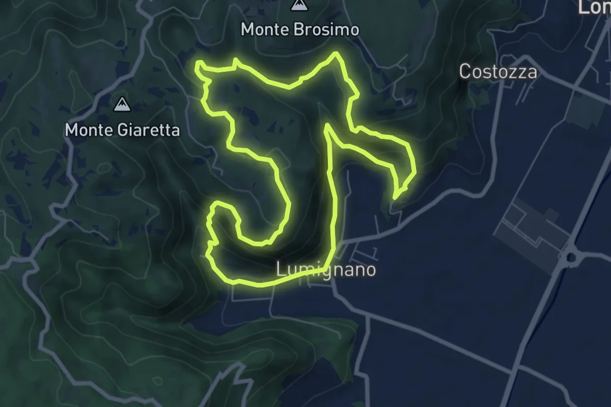
Demanding · Summit
Sentiero delle Scogliere di San Cassiano
7.3 km · ↑ 407 m · 2 h 43 min · 14 km away
Easy · Trail
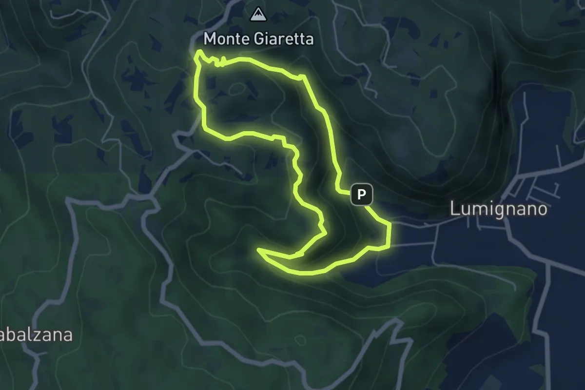
Sentiero dello Scandolaro
4.6 km · ↑ 282 m · 1 h 45 min · 14 km away
Easy · Summit
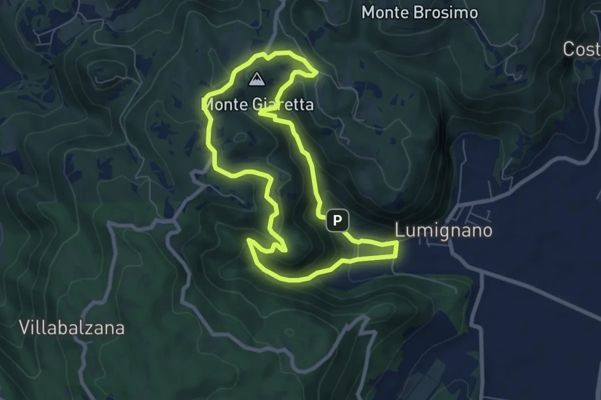
Sentiero delle Vajarole
6.2 km · ↑ 314 m · 2 h 13 min · 14 km away
Medium · Summit
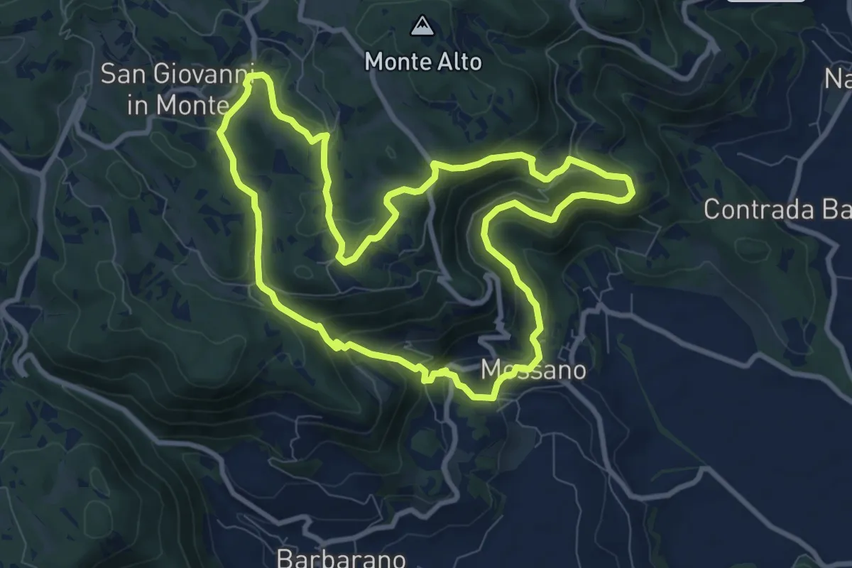
Sentiero di San Bernardino
8.9 km · ↑ 389 m · 3 h 3 min · 15 km away
Expert · Summit
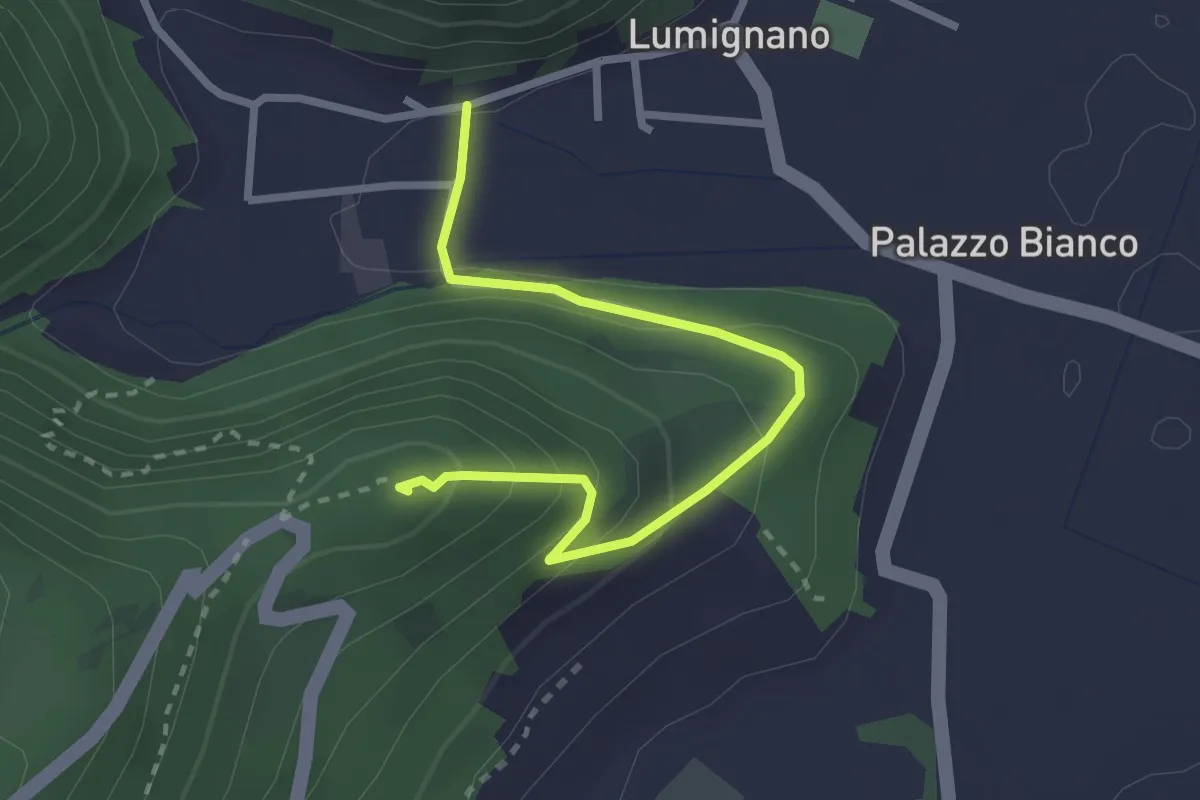
Sentiero del Col della Guerra
2.9 km · ↑ 174 m · 1 h 3 min · 15 km away
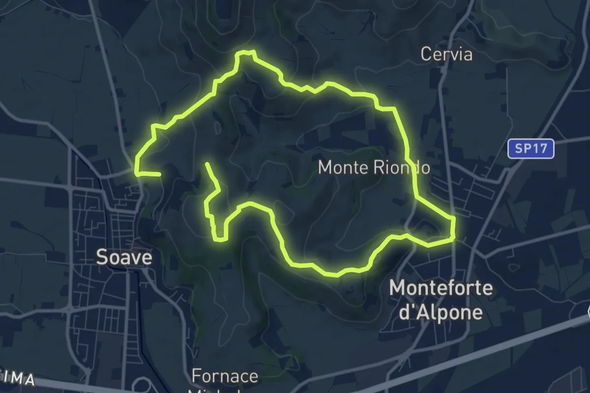
Medium · Trail
Percorso dei 10 Capitelli
8.6 km · ↑ 229 m · 2 h 41 min · 15 km away
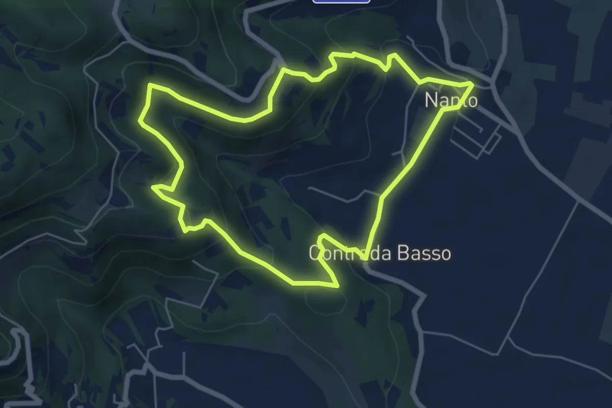
Medium · Trail
Sentiero degli Ulivi
5.3 km · ↑ 250 m · 1 h 52 min · 15 km away
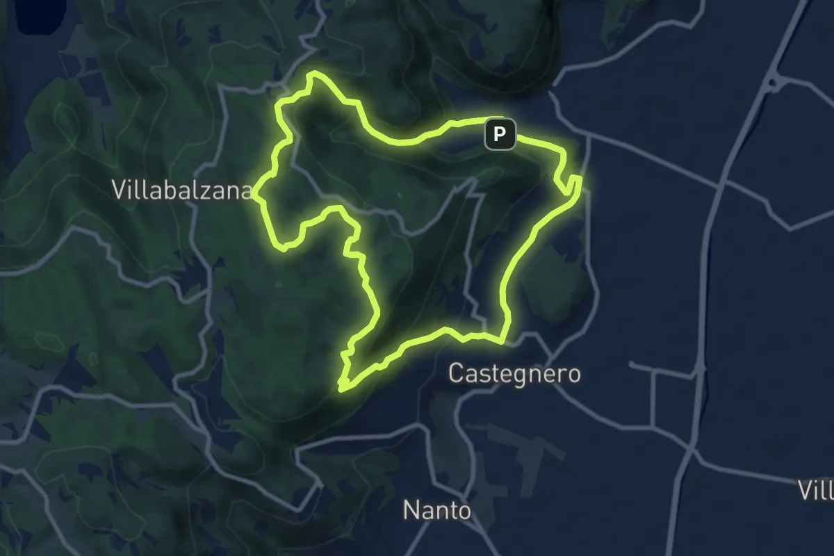
Medium · Trail
Sentiero del Monte delle Rose
9.0 km · ↑ 435 m · 3 h 12 min · 15 km away
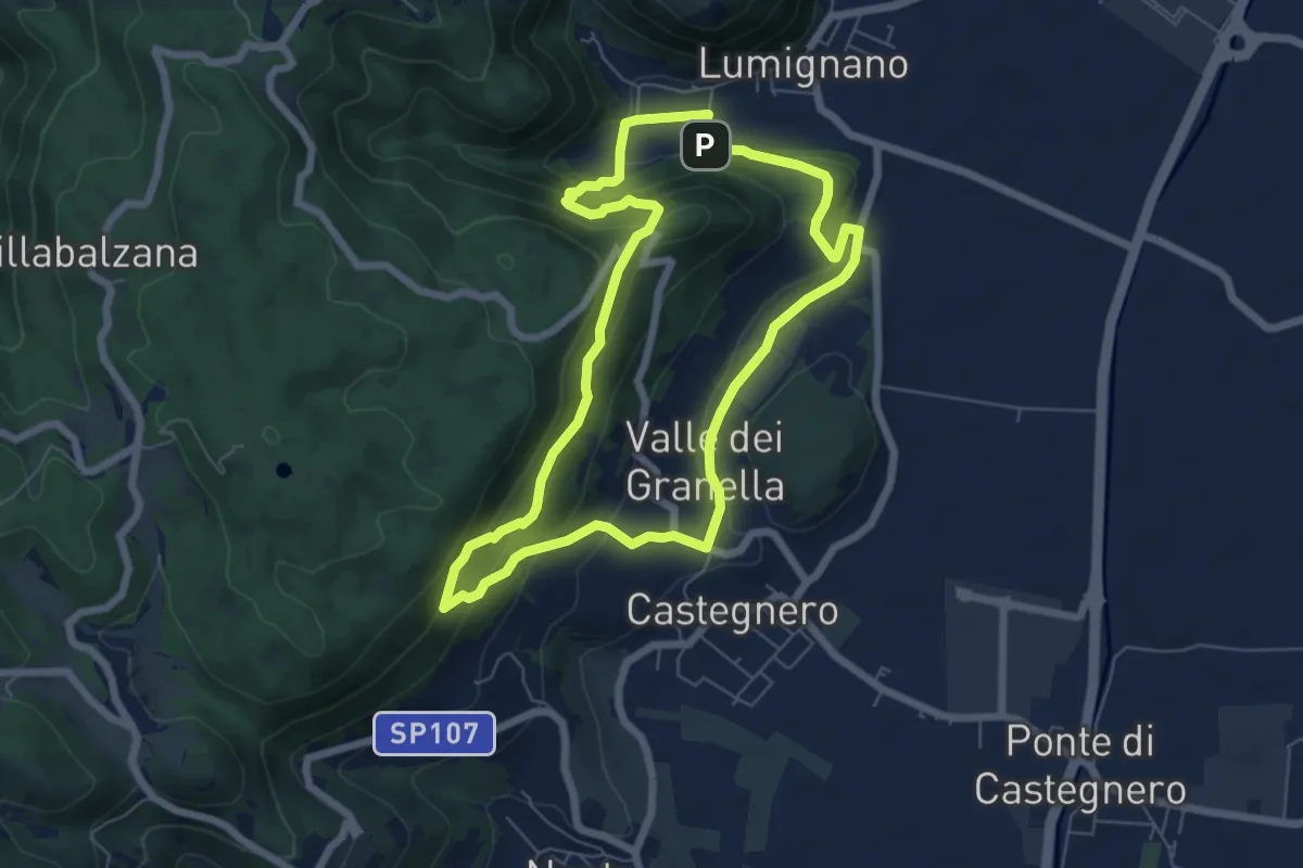
Expert · Summit
Sentiero dei Sengi Bei
6.3 km · ↑ 384 m · 2 h 24 min · 15 km away
Medium · Trail
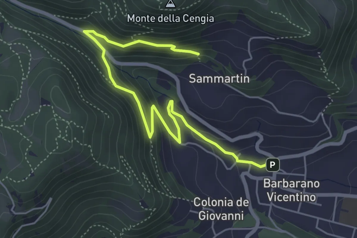
Sentiero della Fontana del Lavello
5.9 km · ↑ 329 m · 2 h 7 min · 15 km away
Medium · Trail
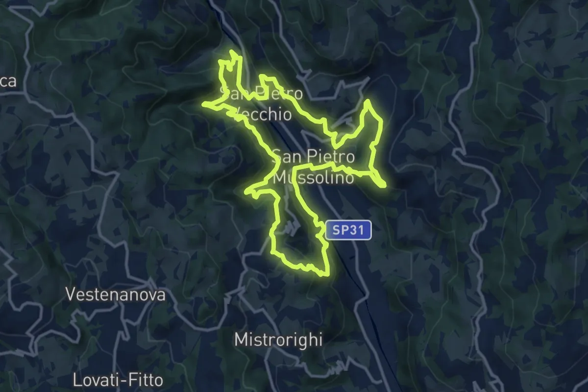
Sentiero delle Api
12.1 km · ↑ 757 m · 4 h 40 min · 15 km away
Medium · Summit
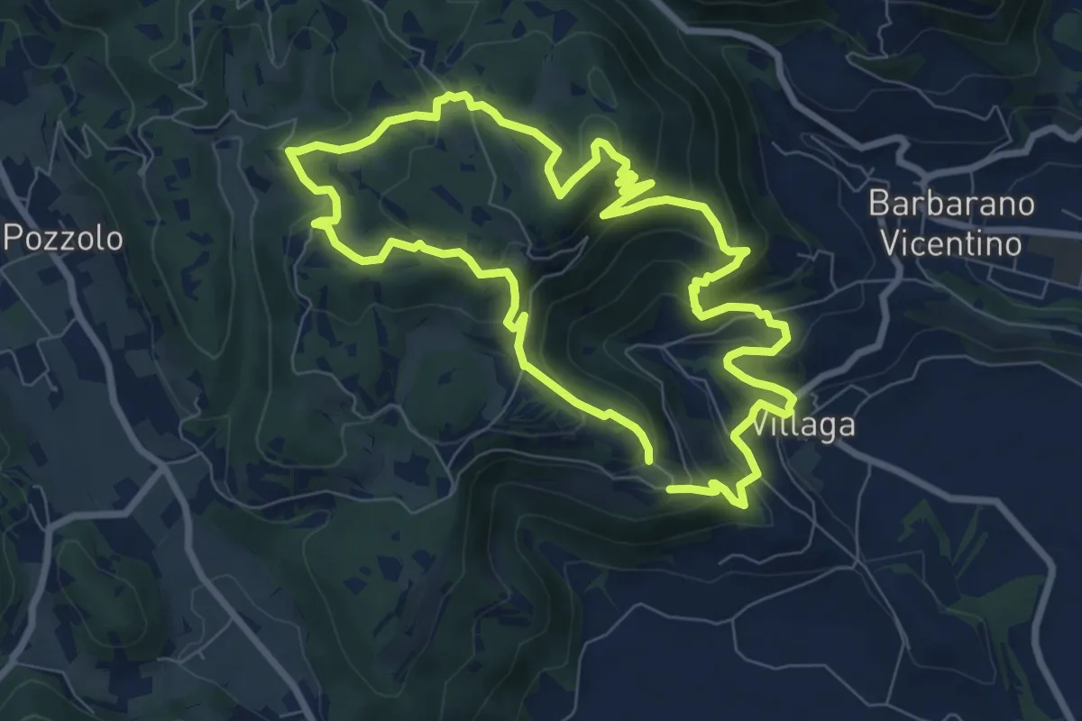
Sentiero dell'Eremo di San Donato
8.0 km · ↑ 429 m · 2 h 56 min · 15 km away
Demanding · Summit
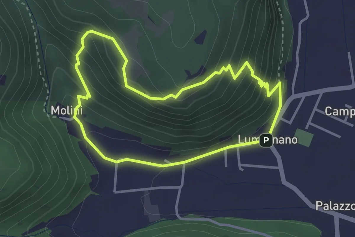
Sentiero della Croce
2.7 km · ↑ 207 m · 1 h 7 min · 15 km away
Medium · Trail
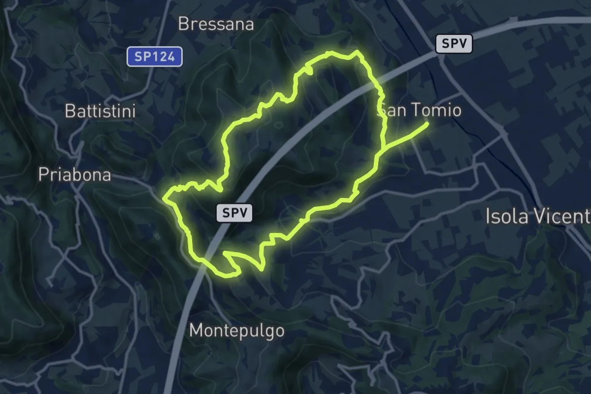
Giro panoramico del Monte Pian
10.4 km · ↑ 452 m · 3 h 34 min · 15 km away
Medium · Trail
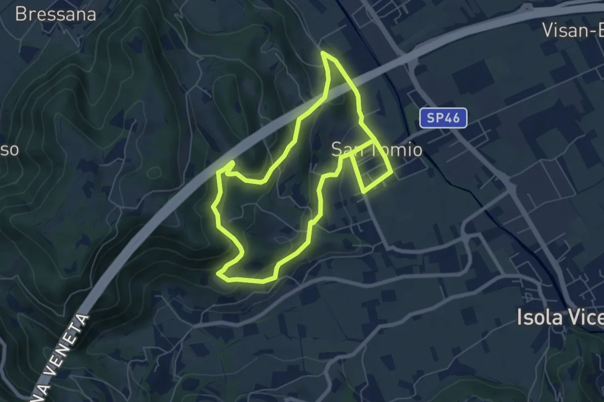
Sentiero degli Asini
11.8 km · ↑ 411 m · 3 h 41 min · 15 km away