Trails near Montefiascone
17 hikes starting within 15 km, nearest first.
Nearest first
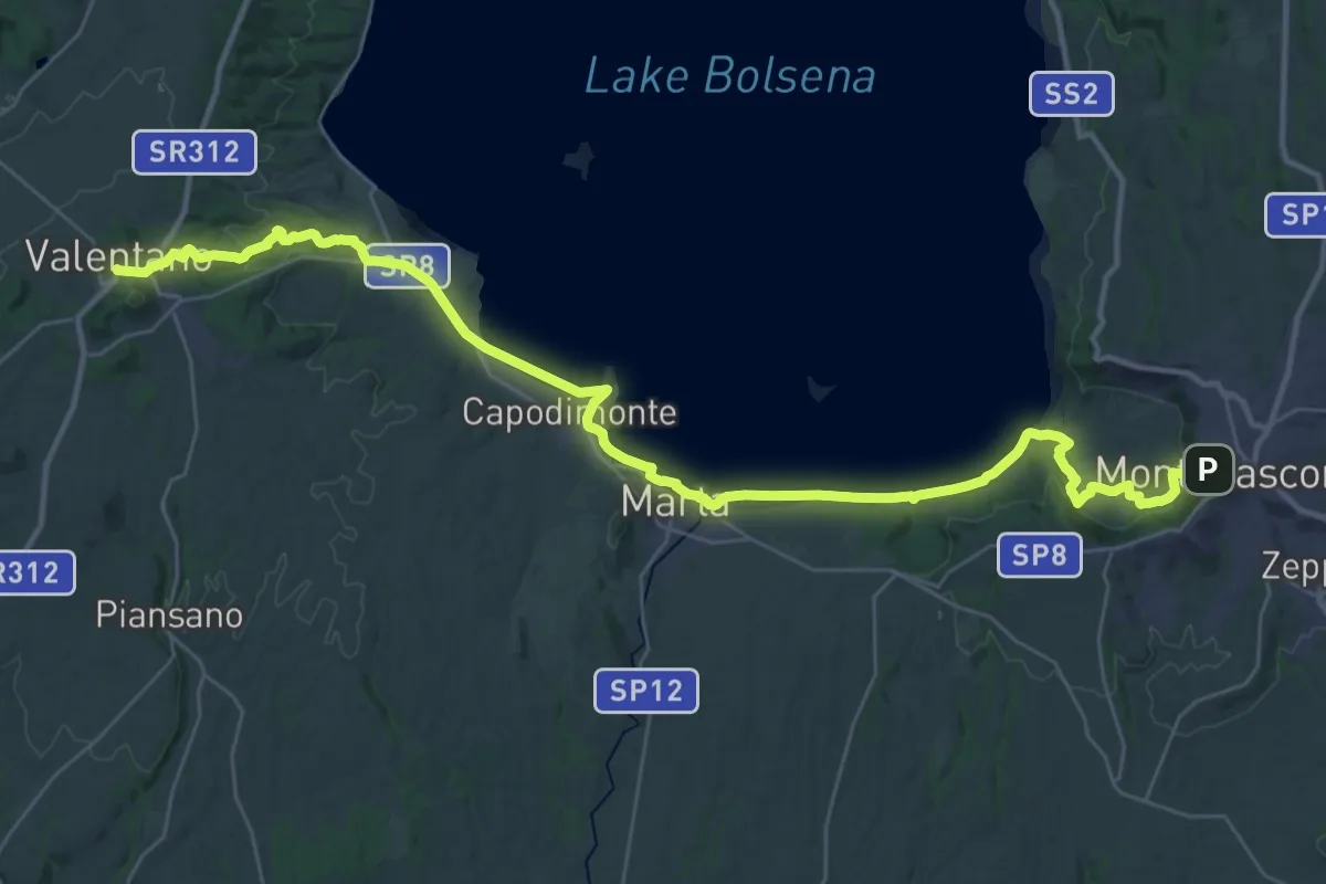
Demanding · Trail
Montefiascone – Valentano
23.0 km · ↑ 344 m · 6 h 30 min · under 1 km away
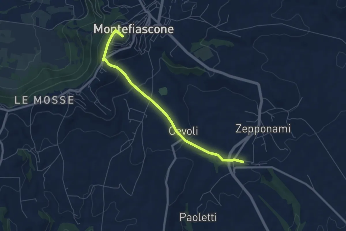
Easy · Summit
Stazione FS Montefiascone – Innesto Via Francigena Montefiascone
6.5 km · ↑ 246 m · 2 h 5 min · 3 km away
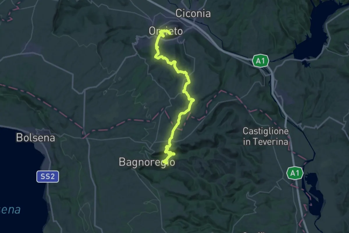
Medium · Trail
Cammino di Larth - Tappa 3
17.9 km · ↑ 523 m · 5 h 39 min · 12 km away
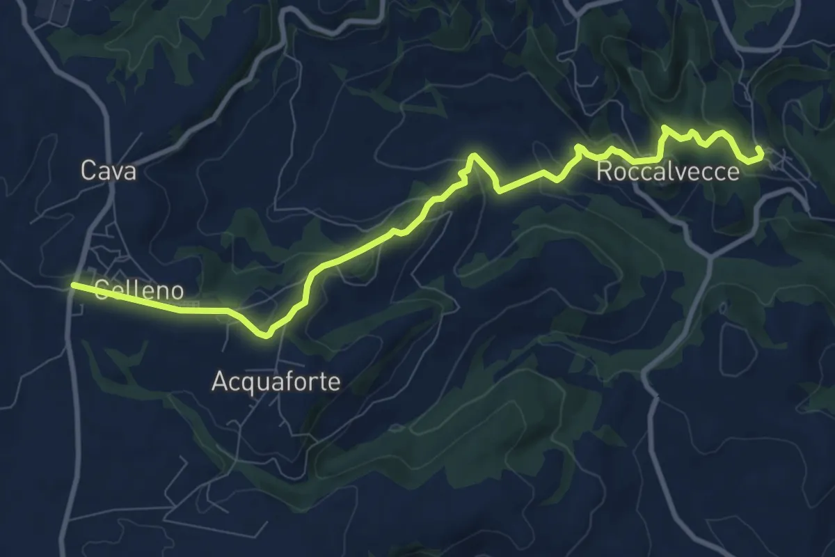
Medium · Trail
Sentiero dei Castelli e delle Fiabe
10.6 km · ↑ 355 m · 3 h 16 min · 12 km away
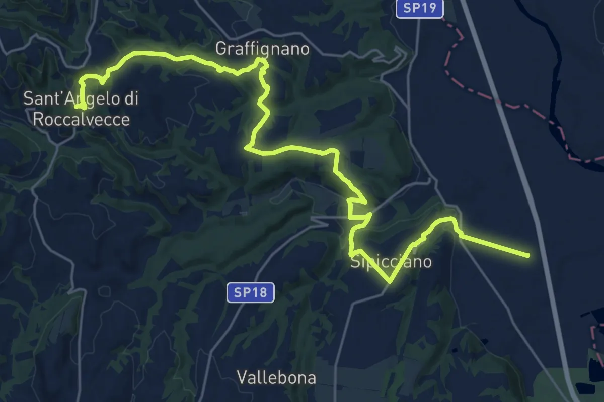
Demanding · Trail
Sant'Angelo – Sipicciano
26.8 km · ↑ 606 m · 7 h 39 min · 12 km away
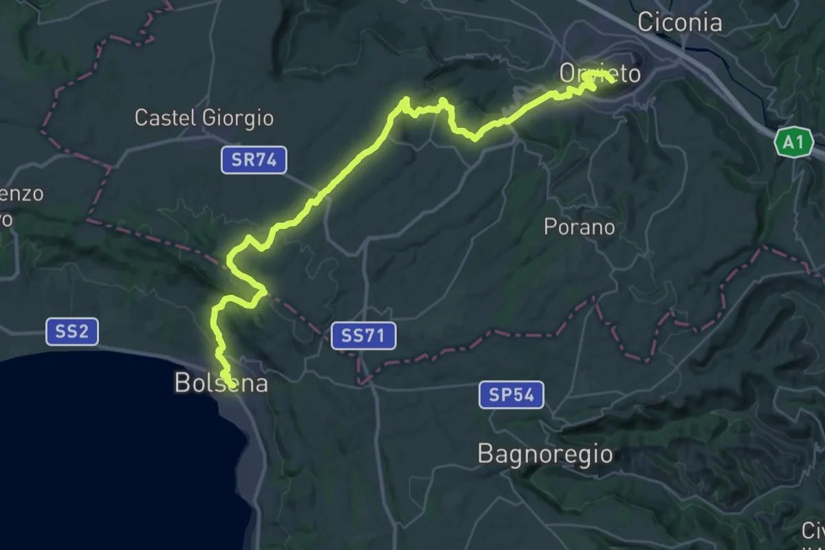
Demanding · Trail
Cammino di Larth - Tappa 1
21.7 km · ↑ 608 m · 6 h 45 min · 12 km away
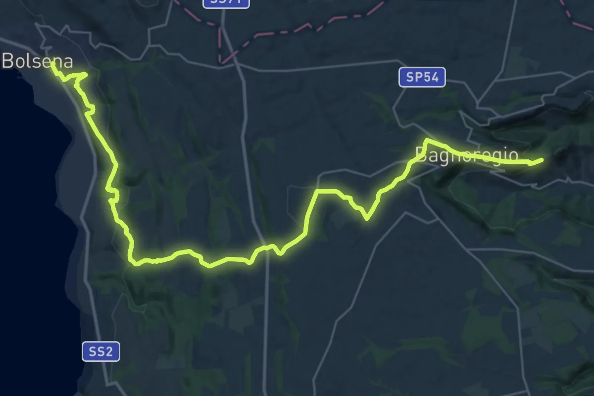
Medium · Trail
Cammino di Larth - Tappa 2
16.7 km · ↑ 394 m · 4 h 59 min · 12 km away
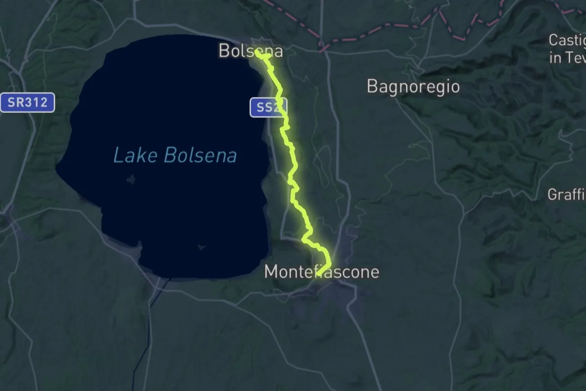
Demanding · Summit
Romea Strata in Italia - Tappa RSIT42
33.6 km · ↑ 788 m · 9 h 38 min · 12 km away
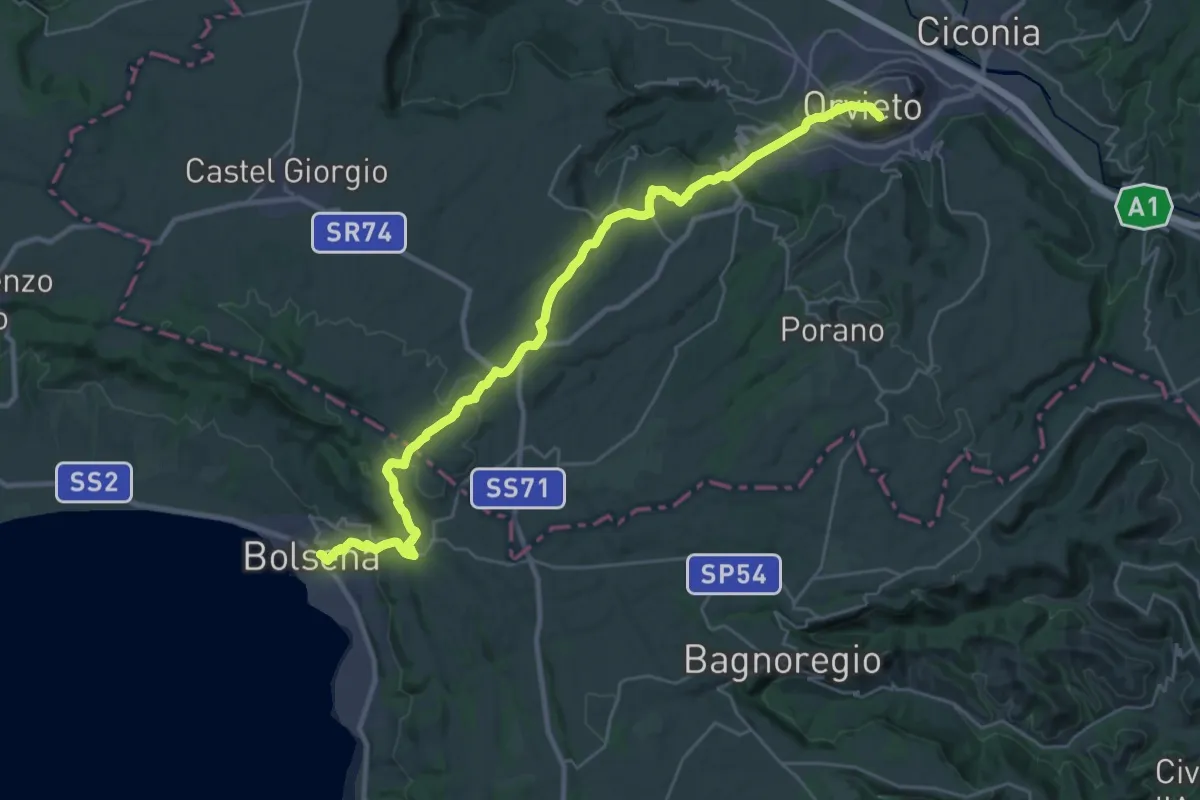
Medium · Trail
Italia Coast to Coast tappa 12
17.2 km · ↑ 485 m · 5 h 21 min · 12 km away
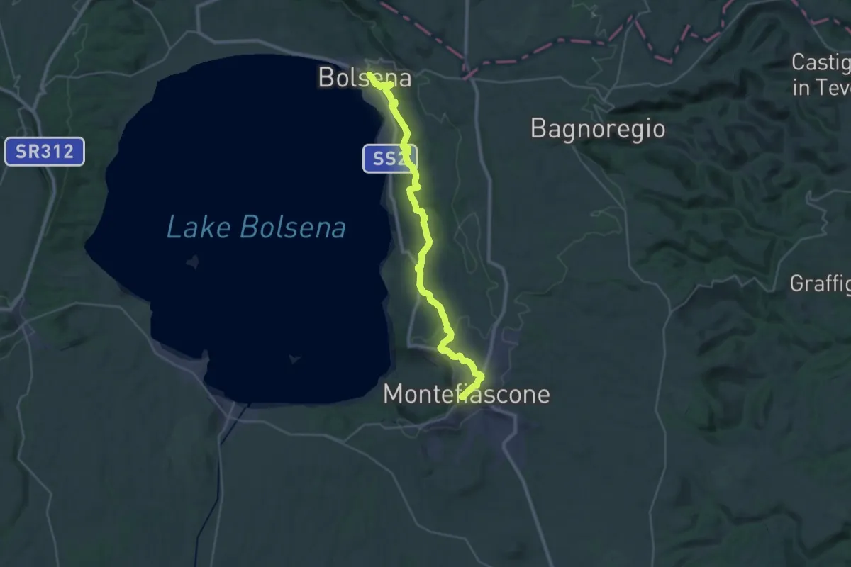
Demanding · Summit
Bolsena – Montefiascone
33.7 km · ↑ 766 m · 9 h 37 min · 12 km away
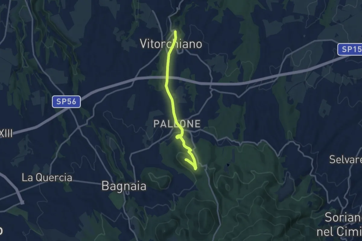
Medium · Summit
Monte di Vitorchiano
10.0 km · ↑ 264 m · 2 h 55 min · 14 km away
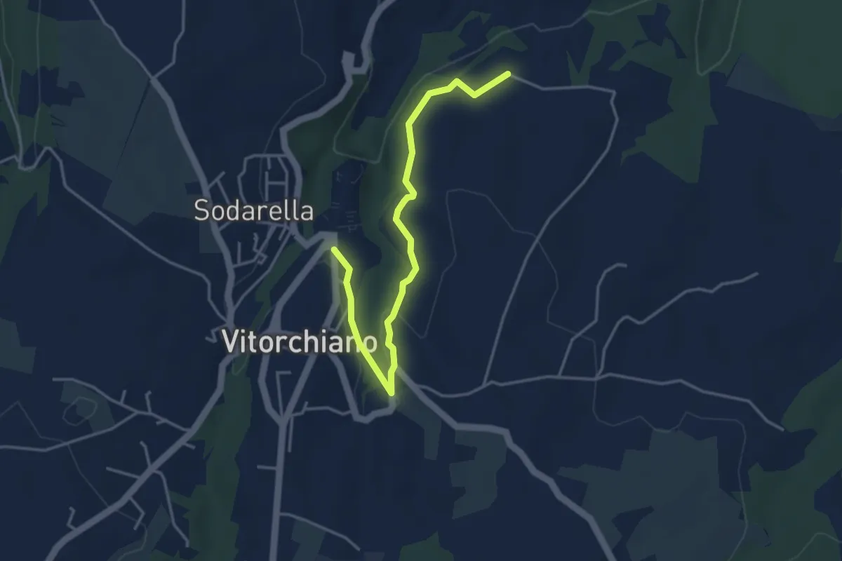
Easy · Trail
Vitorchiano – Campitella
4.3 km · ↑ 58 m · 1 h 9 min · 14 km away
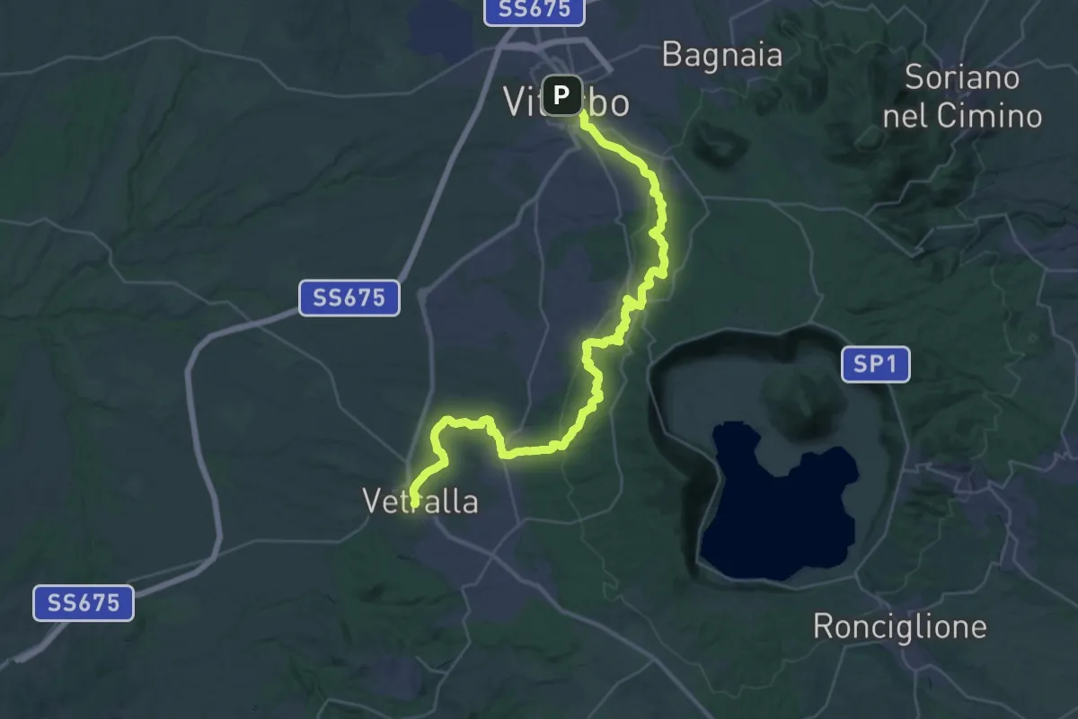
Demanding · Trail
Viterbo – Vetralla
21.8 km · ↑ 519 m · 6 h 36 min · 15 km away
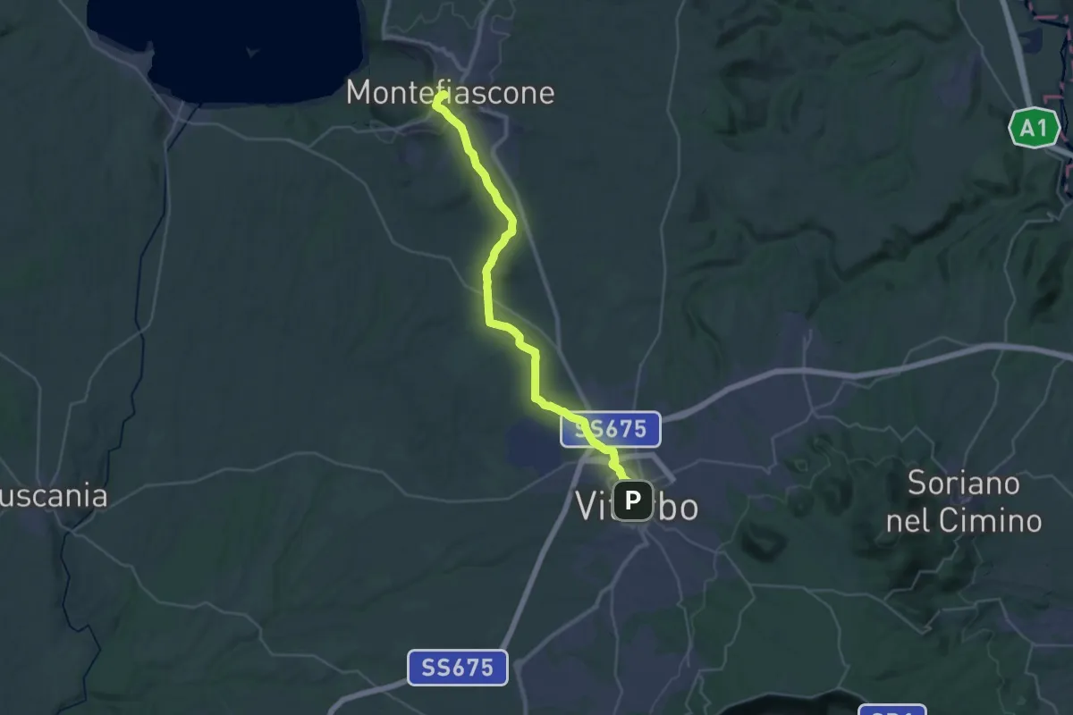
Demanding · Summit
Montefiascone – Viterbo
35.4 km · ↑ 519 m · 9 h 30 min · 15 km away
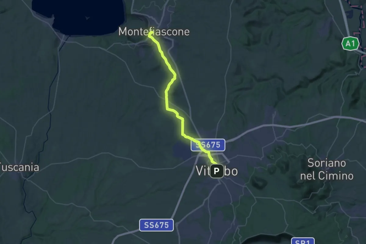
Demanding · Summit
Romea Strata in Italia - Tappa RSIT43
35.8 km · ↑ 537 m · 9 h 37 min · 15 km away
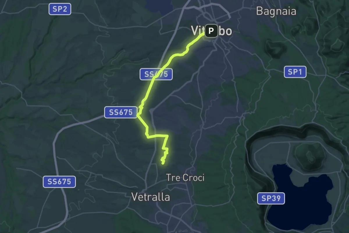
Medium · Pilgrim path
Via Francigena - Variante Vetralla
13.6 km · ↑ 164 m · 3 h 46 min · 15 km away
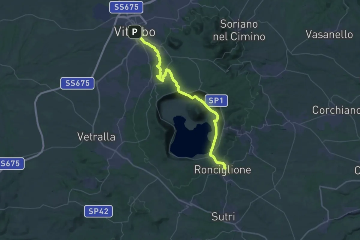
Demanding · Trail
Romea Strata in Italia - Tappa RSIT44
23.2 km · ↑ 618 m · 7 h 6 min · 15 km away