Trails near Montelupo Fiorentino
68 hikes starting within 15 km, nearest first.
Nearest first, page 1 of 2
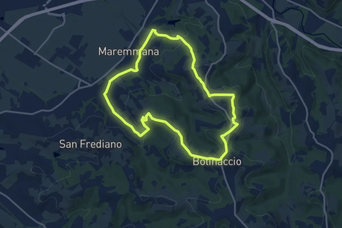
Medium · Trail
Sammontana (Chiesa di Santa Maria) – Sammontana (Chiesa di Santa Maria)
9.4 km · ↑ 203 m · 2 h 47 min · 4 km away
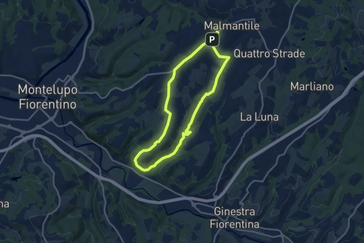
Medium · Trail
Malmantile – Malmantile
8.5 km · ↑ 145 m · 2 h 26 min · 4 km away
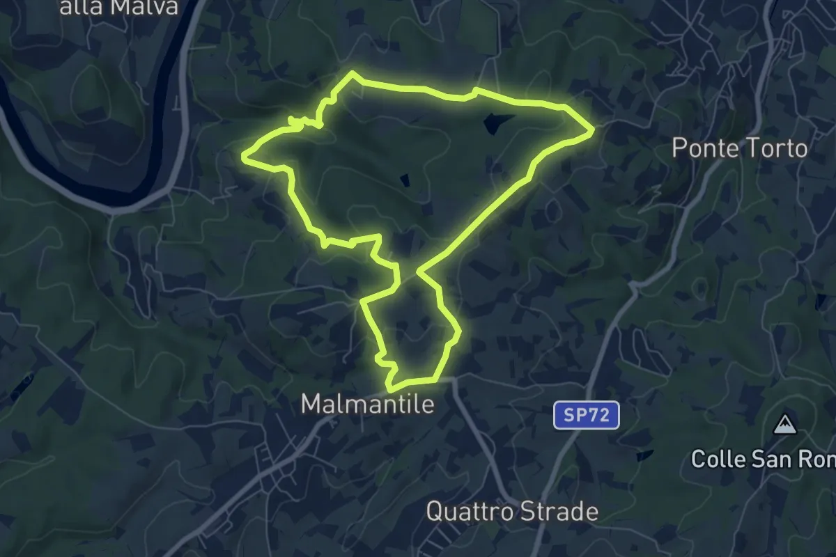
Easy · Summit
Anello di Lecceto
7.5 km · ↑ 199 m · 2 h 18 min · 5 km away
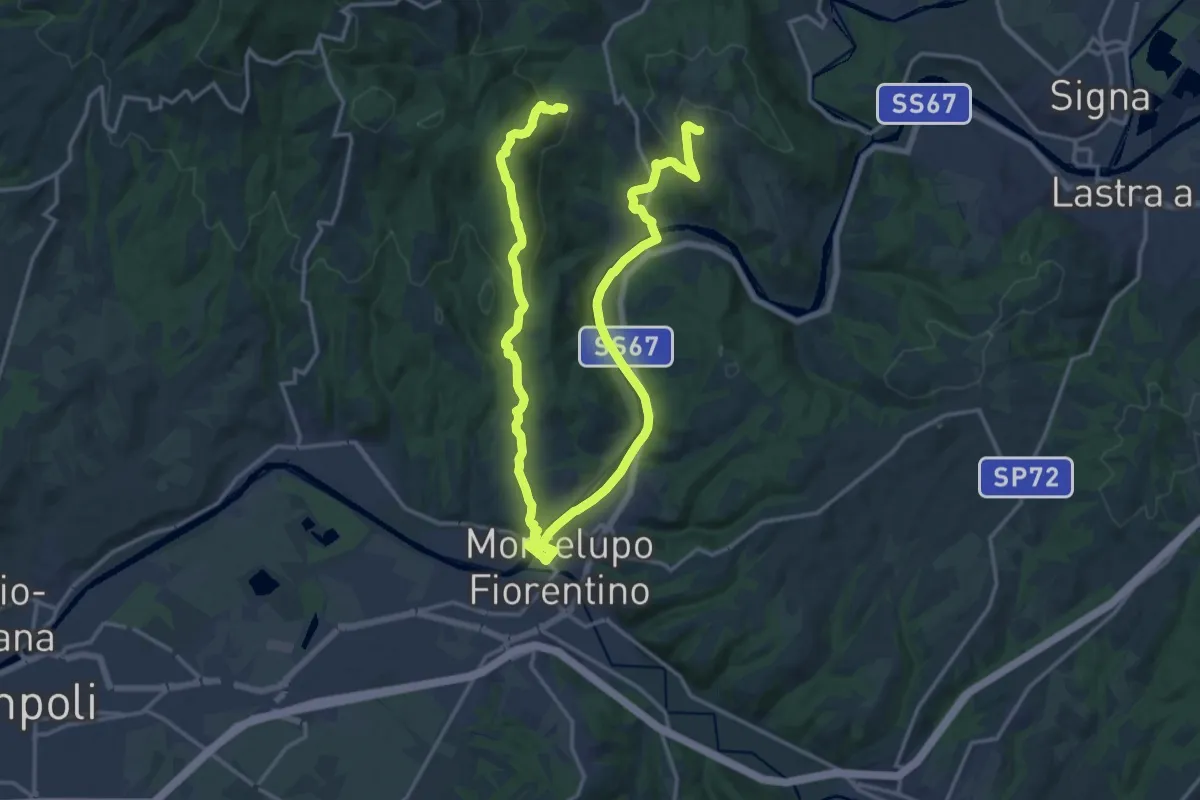
Demanding · Trail
Anello di Capraia e Montelupo
26.9 km · ↑ 586 m · 7 h 37 min · 5 km away
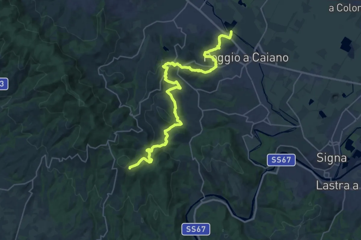
Medium · Trail
Cassa espansione Taglianico – Casenuove
12.8 km · ↑ 340 m · 4 h 7 min · 5 km away
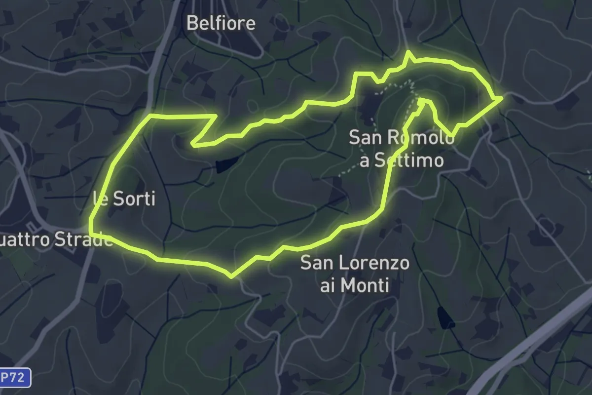
Easy · Summit
Anello della Guerrina
5.2 km · ↑ 181 m · 1 h 42 min · 5 km away
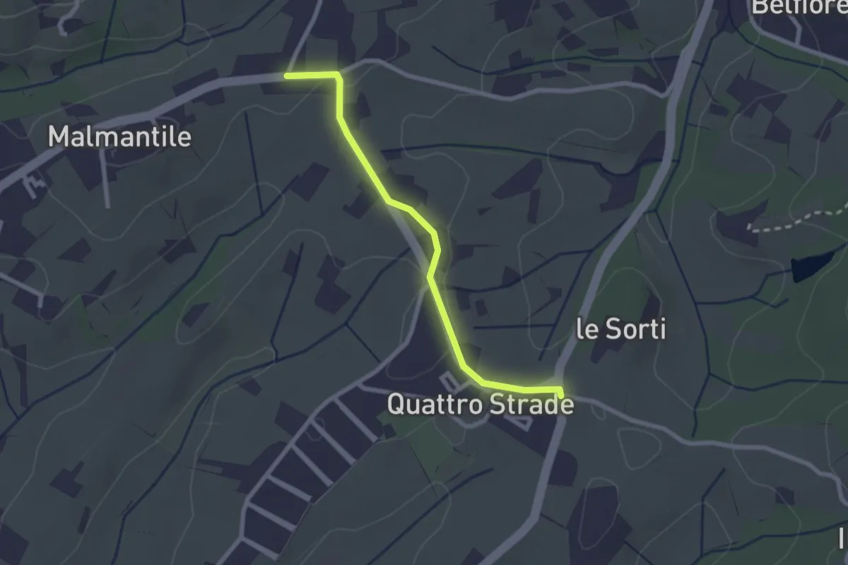
Easy · Trail
Innesto sentiero741, incrocio Via Vecchia Pisana con Via S. Salvadore – Innesto sentiero CAI 745, incrocio Via Maremmana con Via del Pollaiolo
2.4 km · ↑ 36 m · 38 min · 5 km away
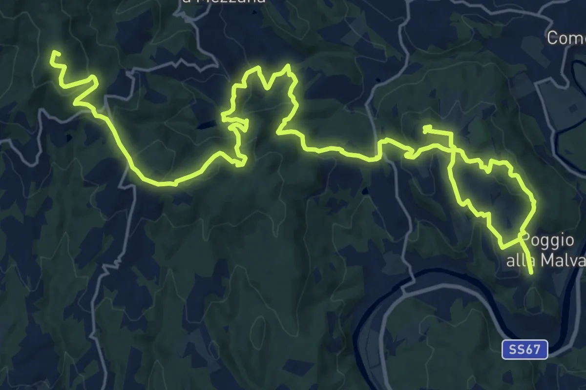
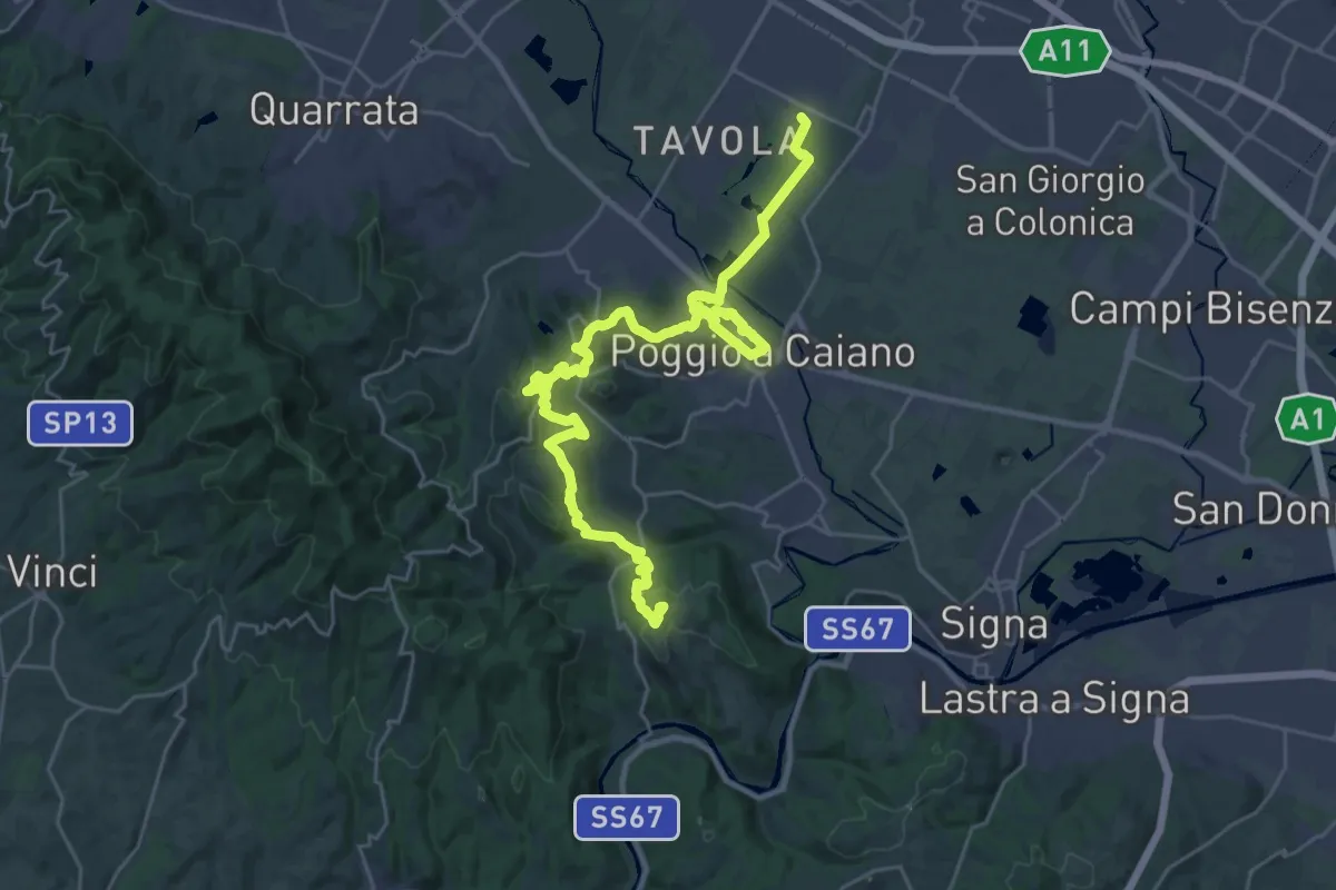
Demanding · Summit
Tappa 2: Artimino - Bacchereto
33.2 km · ↑ 1329 m · 10 h 43 min · 6 km away
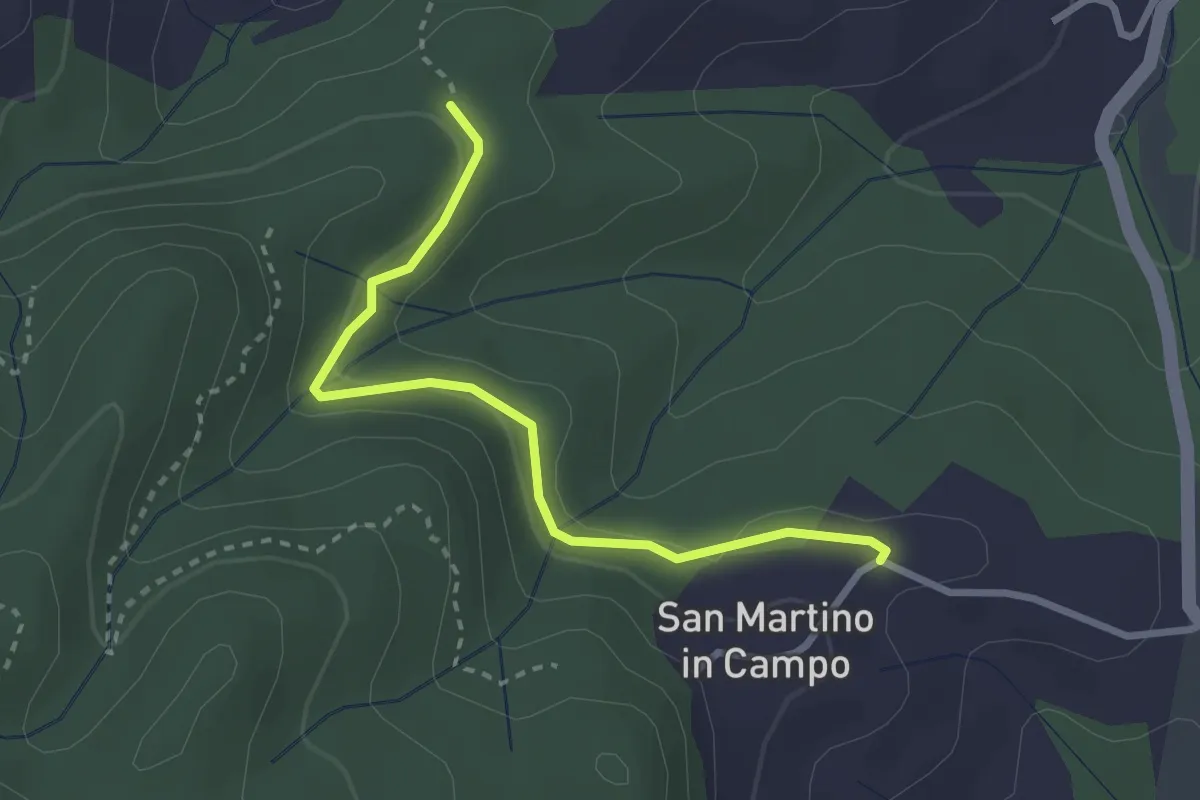
Medium · Trail
Tappa 1: Prato - Artimino
17.8 km · ↑ 389 m · 5 h 24 min · 6 km away
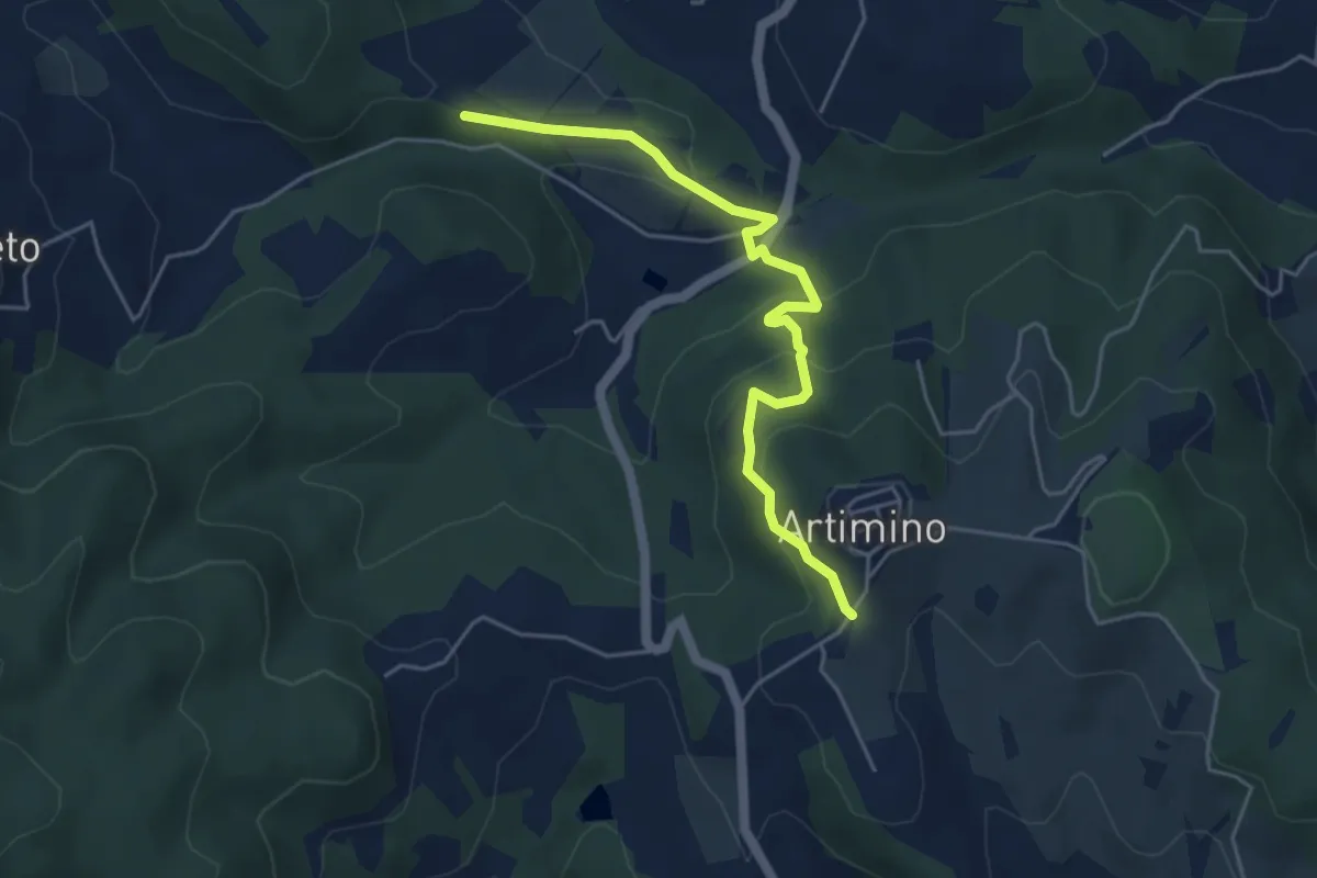
Easy · Trail
Caselli – Sotto San Martino
2.9 km · ↑ 71 m · 50 min · 6 km away
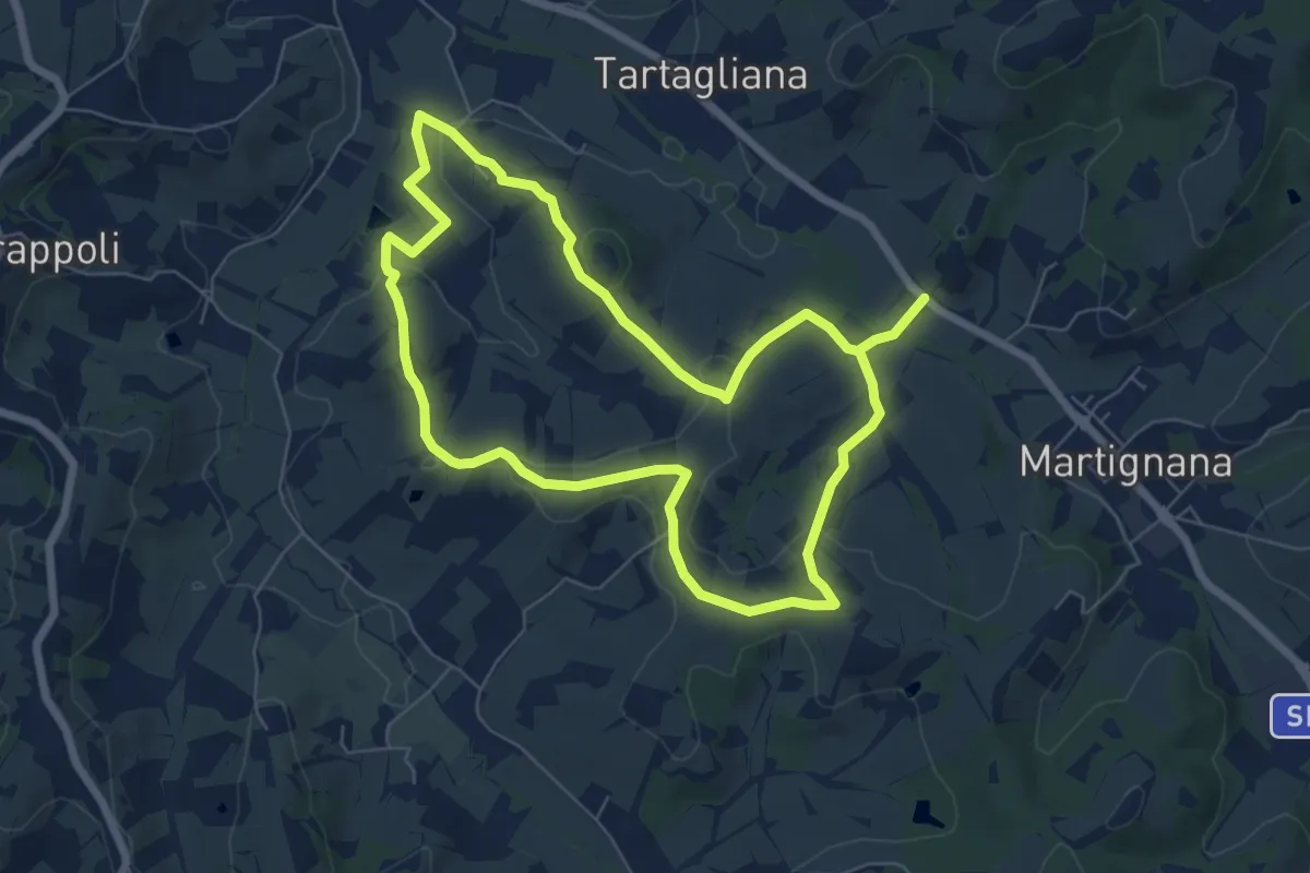
Easy · Trail
Podere Campisalti – Artimino
5.1 km · ↑ 232 m · 1 h 42 min · 7 km away
Medium · Trail
Anello di Montemagnoli
13.7 km · ↑ 316 m · 3 h 56 min · 7 km away
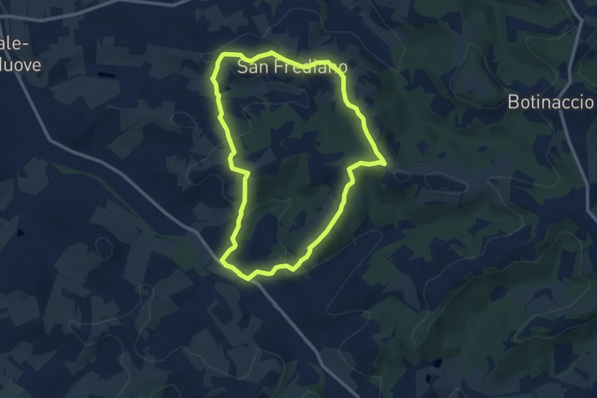
Easy · Trail
Anello del Torrino
6.8 km · ↑ 205 m · 2 h 9 min · 7 km away
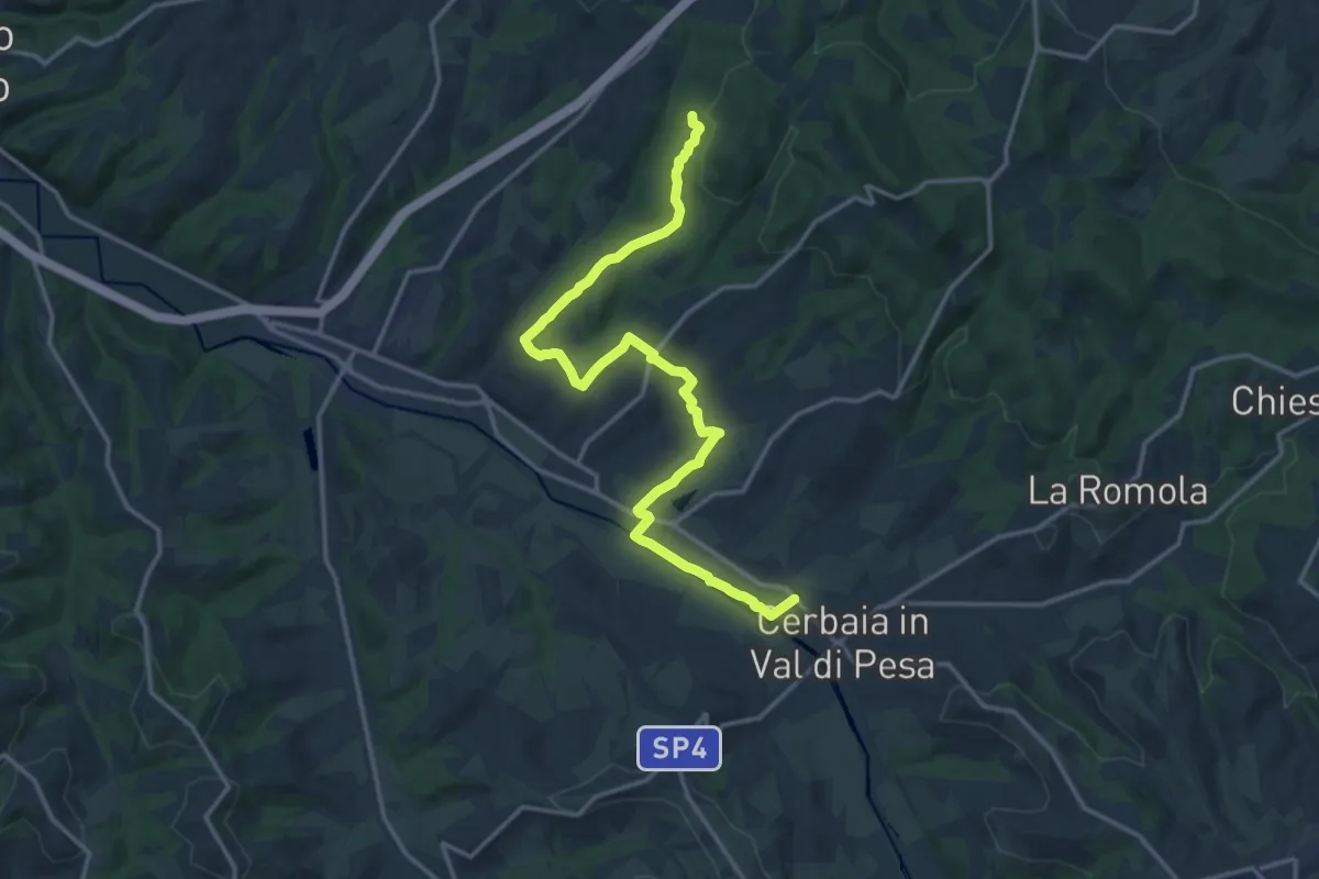
Demanding · Trail
Castellare – Roveta
18.2 km · ↑ 334 m · 5 h 1 min · 7 km away
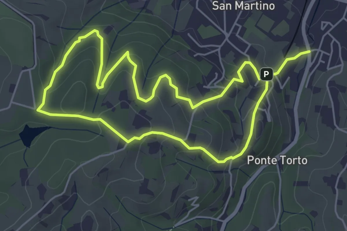
Easy · Trail
Anello Villa Caruso
4.9 km · ↑ 243 m · 1 h 46 min · 7 km away
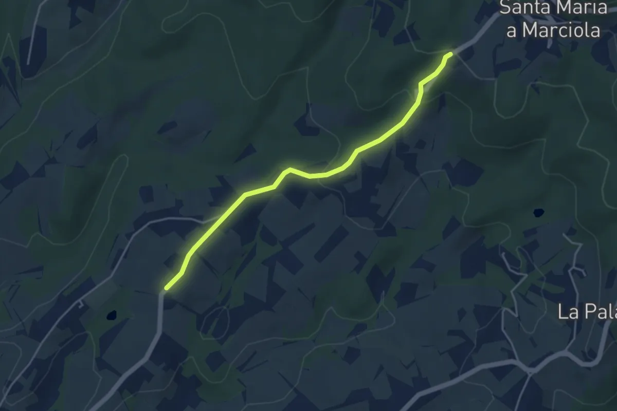
Easy · Trail
Bivio Azienda agricola Brunelli, innesto CAI 740 – Località San Niccolò a Torri, innesto CAI 731
4.2 km · ↑ 129 m · 1 h 16 min · 7 km away
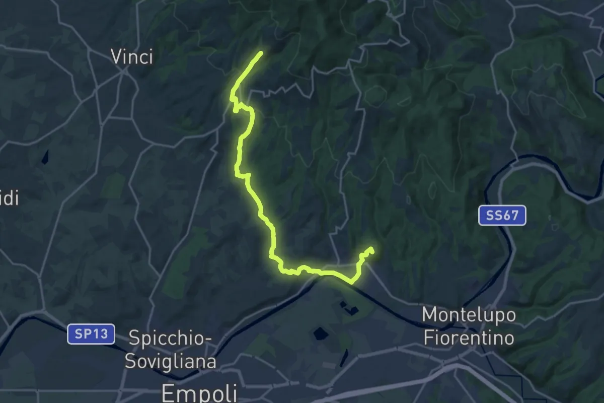
Demanding · Summit
Tappa 3 - Da Mignana a Montereggi
18.9 km · ↑ 516 m · 5 h 35 min · 8 km away
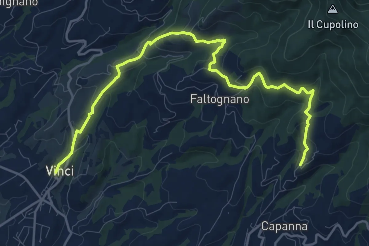
Medium · Trail
Tappa 2 - Da Vinci a Mignana
12.5 km · ↑ 512 m · 4 h 4 min · 8 km away
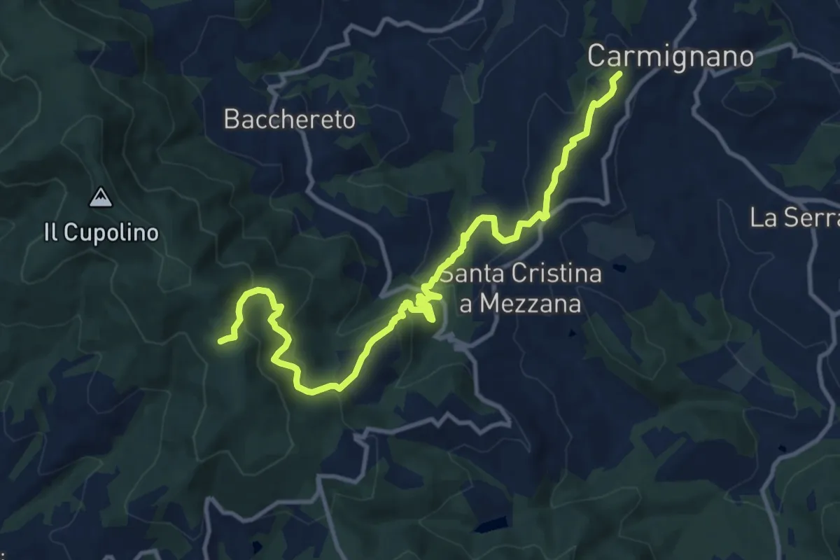
Medium · Trail
Carmignano – Pietramarina
12.7 km · ↑ 728 m · 4 h 34 min · 8 km away
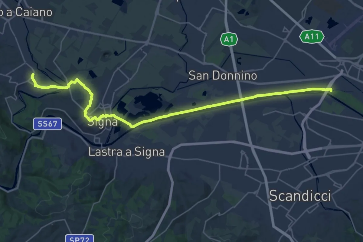
Demanding · Trail
Tappa 5 - Da Comeana a Firenze
26.8 km · ↑ 177 m · 6 h 42 min · 8 km away
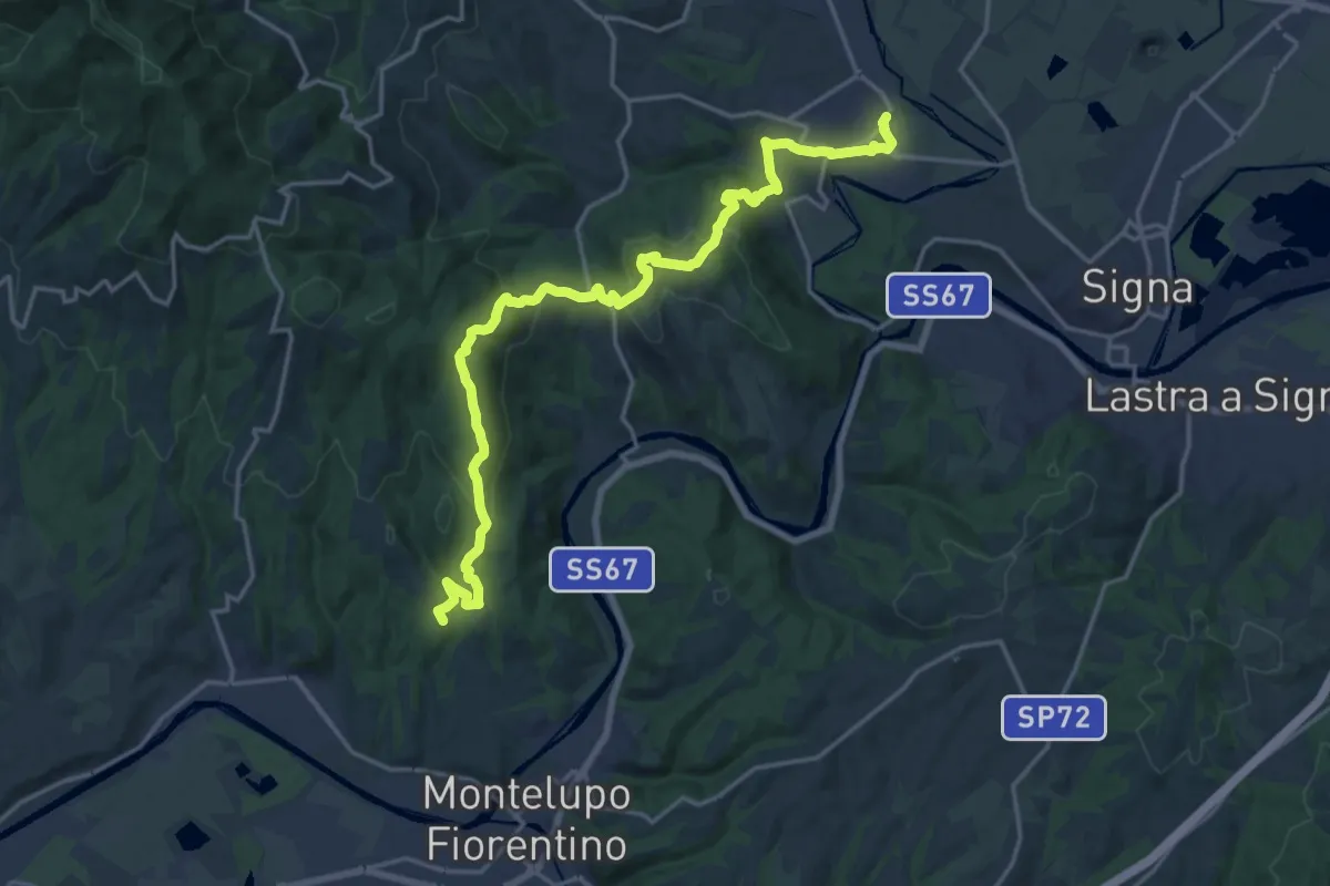
Demanding · Summit
Tappa 4 - Da Montereggi a Comeana
21.9 km · ↑ 781 m · 6 h 52 min · 8 km away
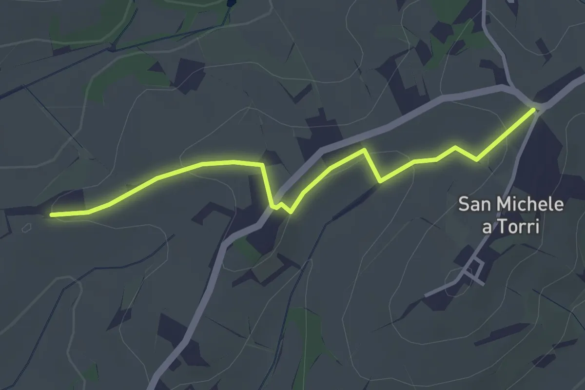
Easy · Trail
San Michele a Torri – innesto 731 - Mulinaccio
3.2 km · ↑ 69 m · 55 min · 8 km away
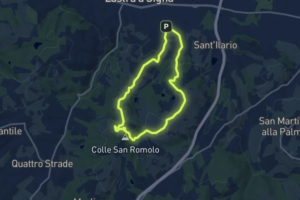
Easy · Summit
Anello di San-Romolo
6.6 km · ↑ 247 m · 2 h 11 min · 8 km away
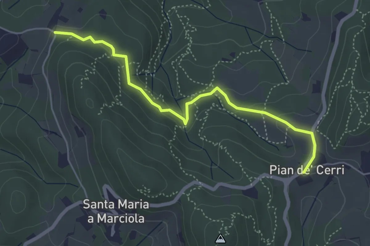
Easy · Trail
Pian de' Cerri – Roncigliano
4.9 km · ↑ 122 m · 1 h 25 min · 9 km away
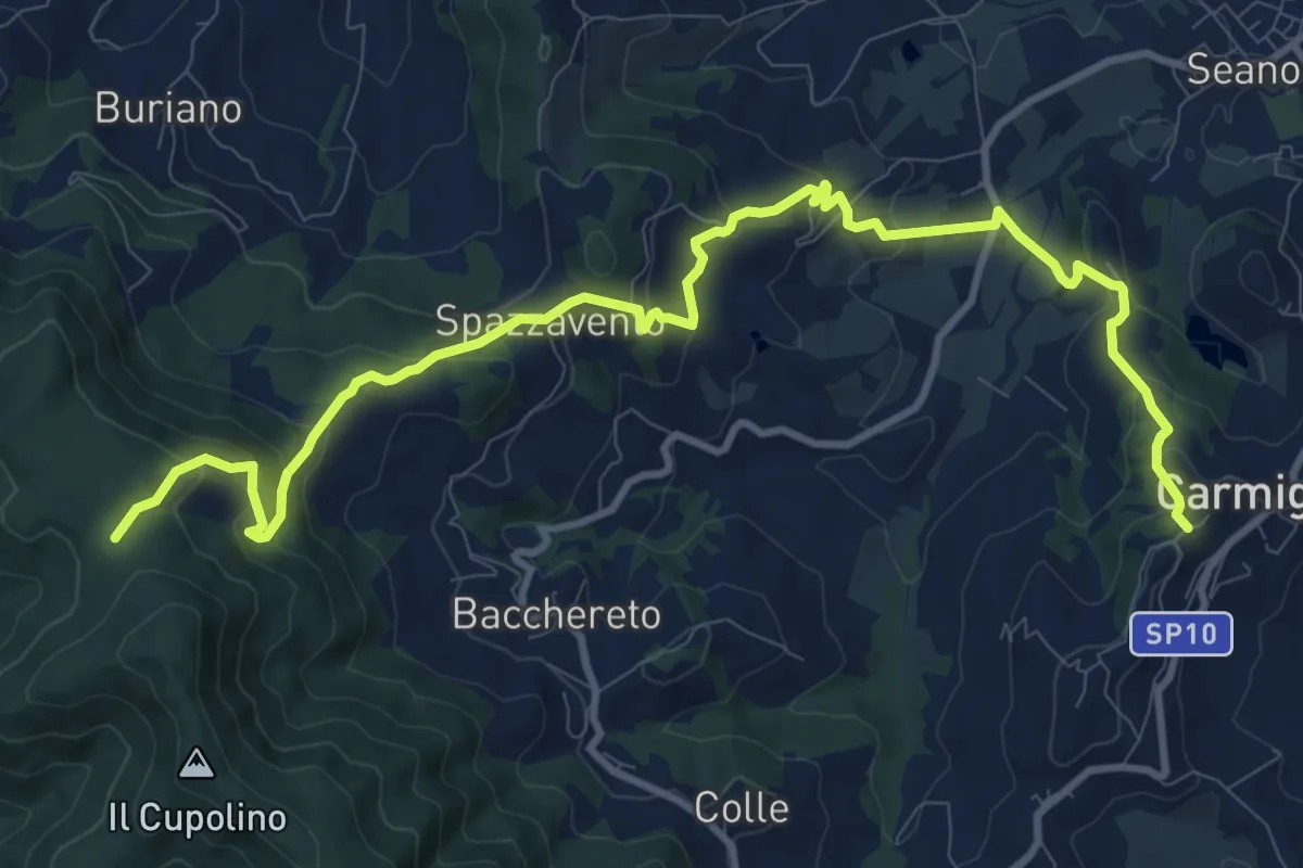
Medium · Trail
Carmignano San Michele – Torre di Sant'Alluccio
13.7 km · ↑ 699 m · 4 h 45 min · 9 km away
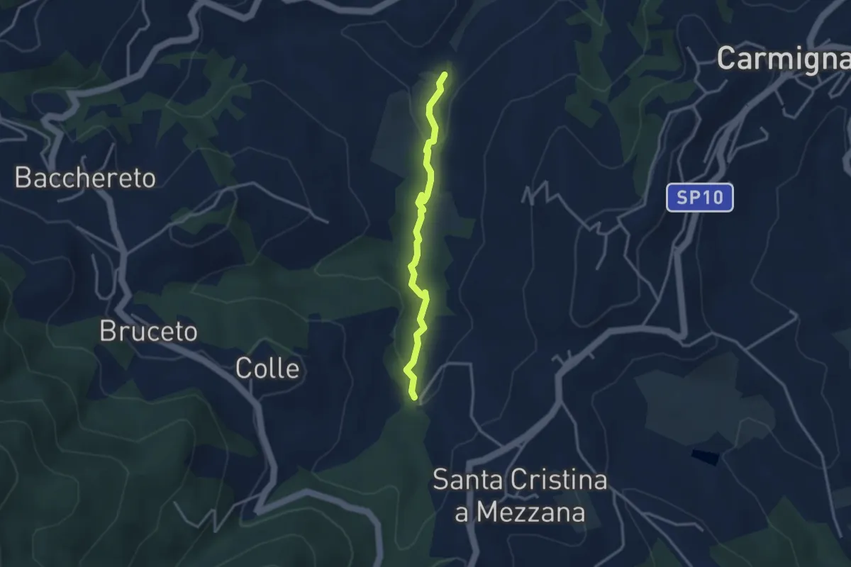
Easy · Trail
Fontanaccio – Il Mulino
2.9 km · ↑ 63 m · 50 min · 9 km away
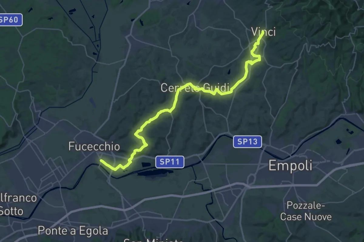
Medium · Trail
Tappa 1 - Da Fucecchio a Vinci
17.5 km · ↑ 243 m · 4 h 57 min · 10 km away
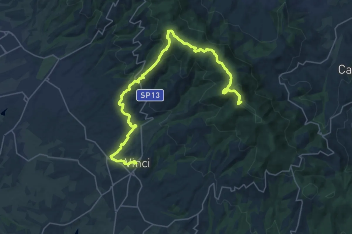
Demanding · Summit
Tappa 3: Bacchereto - Vinci
23.1 km · ↑ 847 m · 7 h 17 min · 10 km away
Medium · Trail
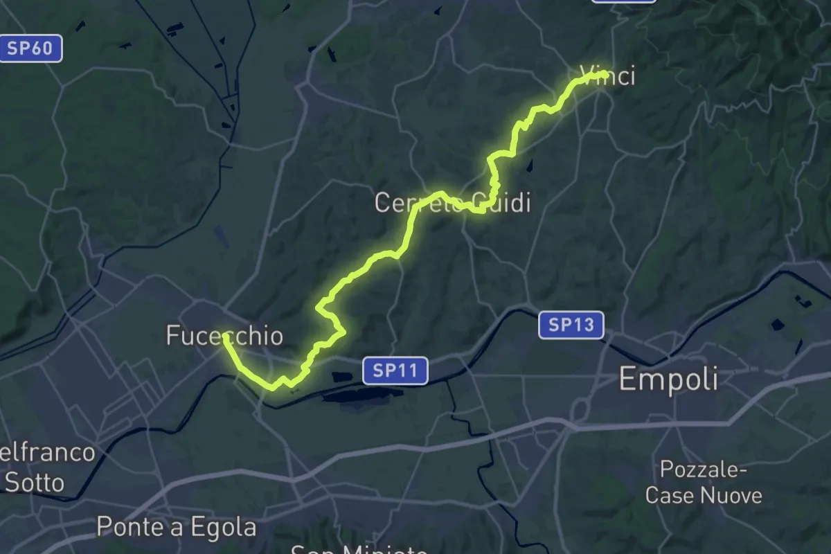
Tappa 4: Vinci - Fucecchio
17.7 km · ↑ 294 m · 5 h 5 min · 10 km away
Demanding · Summit
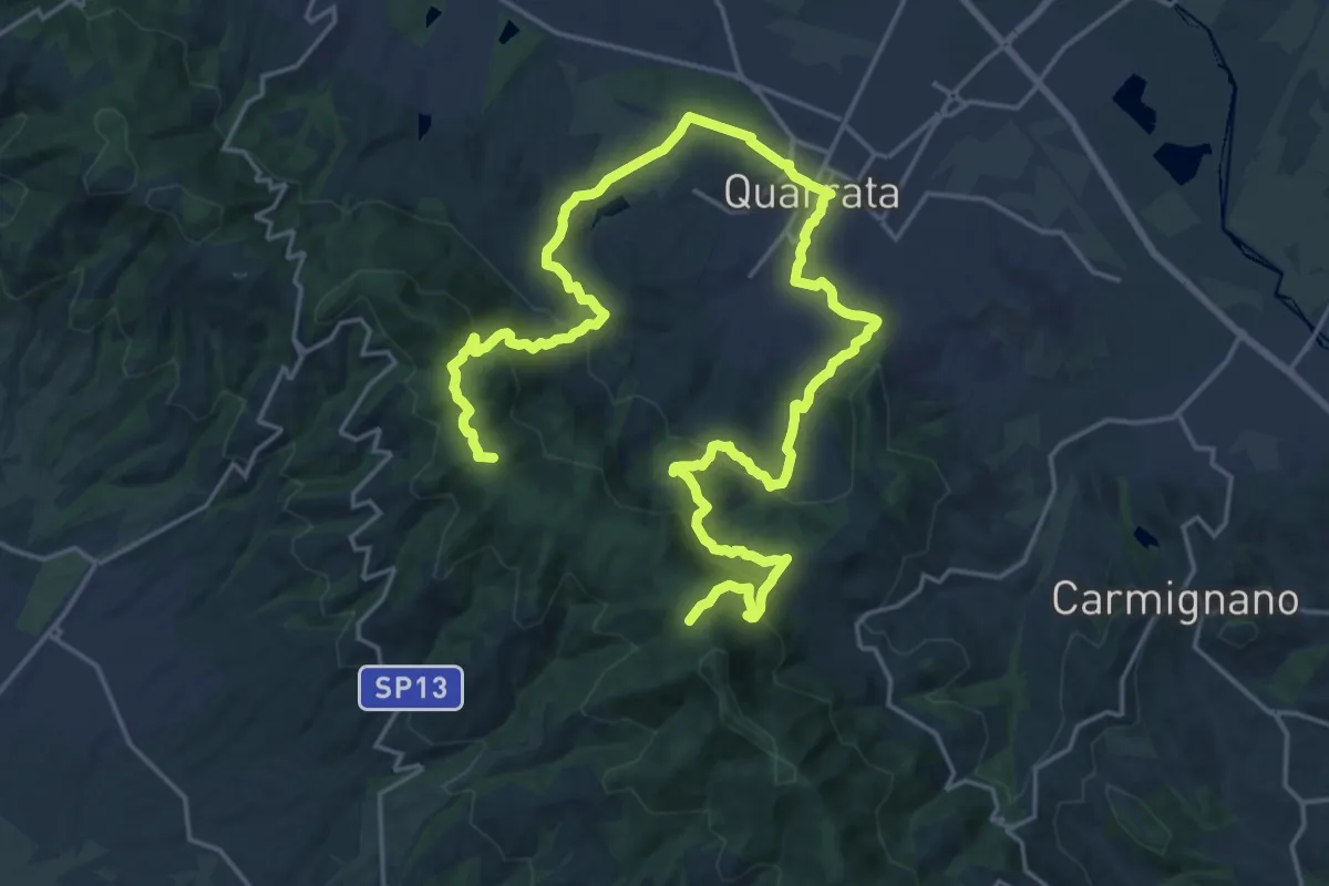
Anello della Magia - Quarrata
32.0 km · ↑ 1351 m · 10 h 29 min · 10 km away
Demanding · Trail
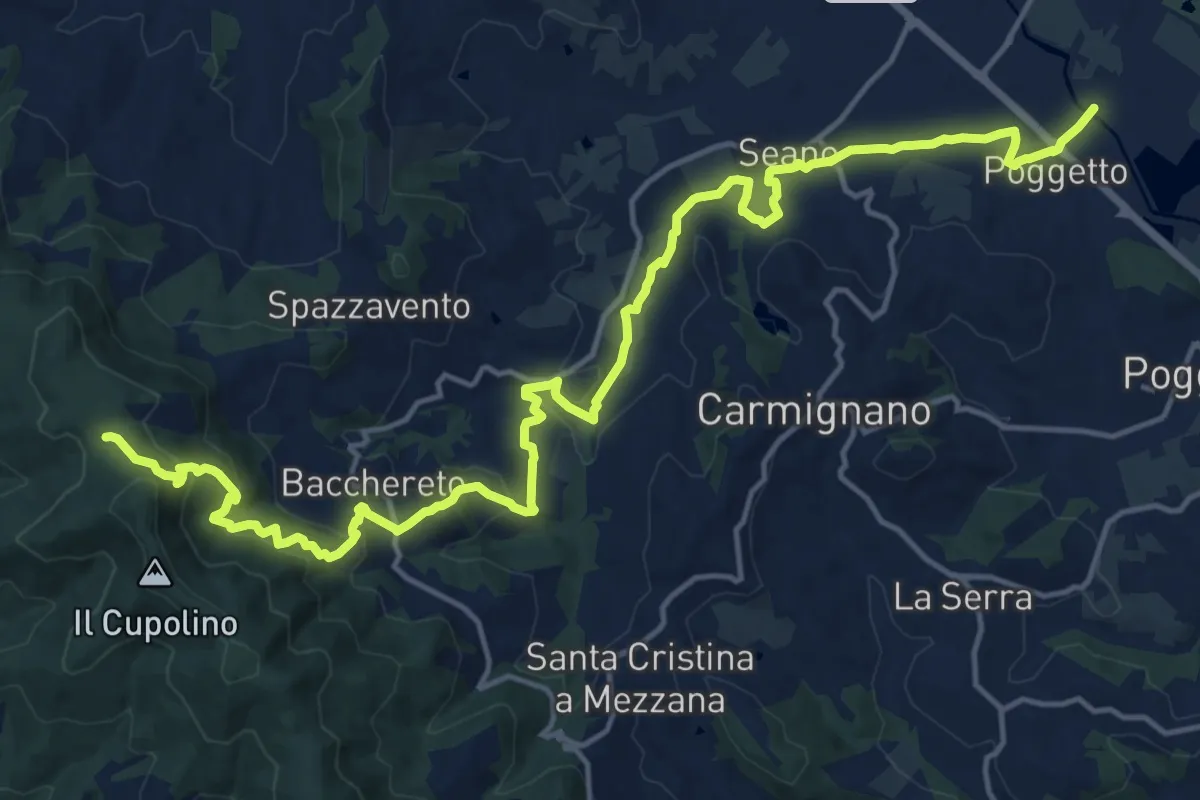
Ponte a Tigliano – Torre Sant'Allluccio
22.0 km · ↑ 774 m · 6 h 52 min · 10 km away
Medium · Trail
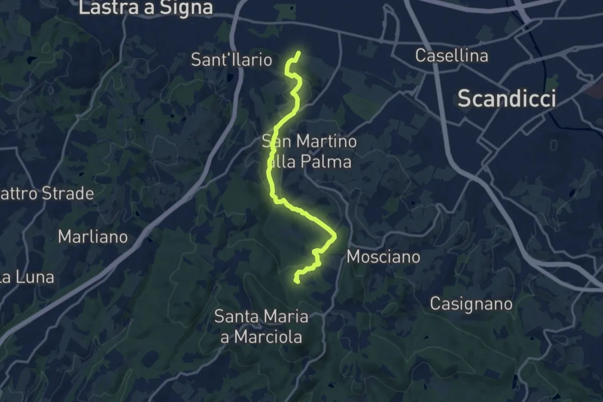
sentiero CAI 746 3 fiumi in località Castelpulci - Torrente Vingone – sentiero CAI 734 in località Sevoli
11.6 km · ↑ 315 m · 3 h 25 min · 10 km away
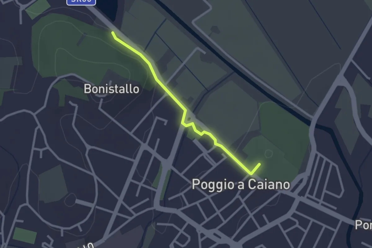
Easy · Trail
Poggio a Caiano – Bargo
2.3 km · ↑ 22 m · 35 min · 10 km away
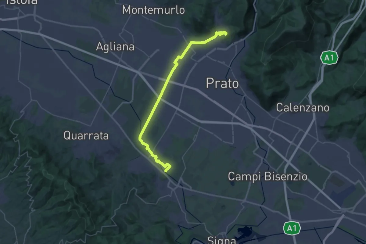
Demanding · Summit
Stazione Centrale Prato – Ponte Manetti - Cascine di Tavola
30.9 km · ↑ 147 m · 7 h 38 min · 10 km away
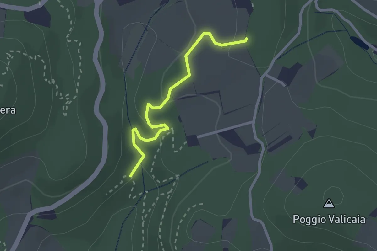
Easy · Trail
Sentiero 730 (Spazzavento) – Sentiero 732 (Lago delle Ninfee)
2.3 km · ↑ 59 m · 40 min · 11 km away
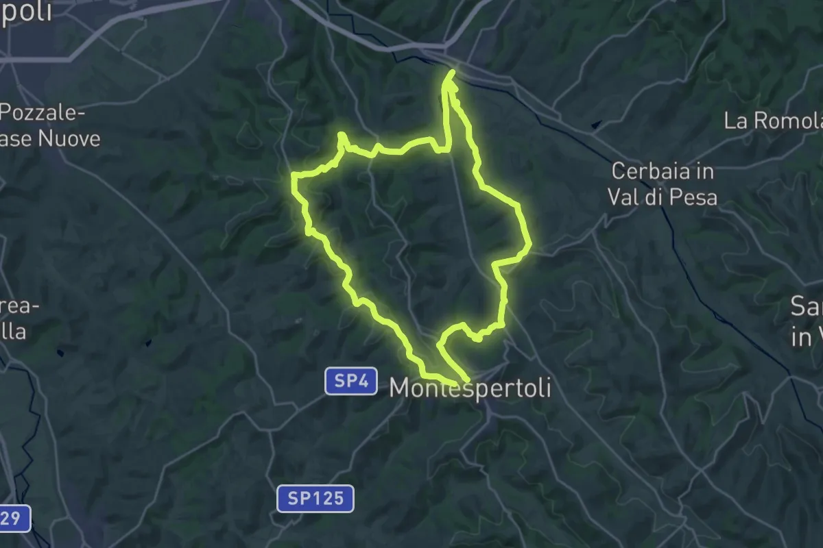
Demanding · Trail
Dolce campagna, antiche mura 4
24.0 km · ↑ 573 m · 7 h 14 min · 11 km away
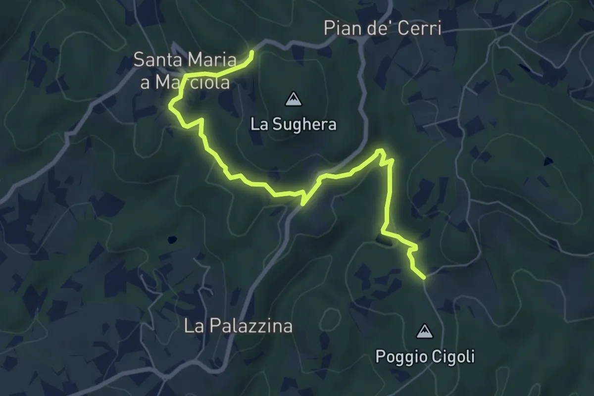
Easy · Trail
Le Calle – Le Croci
7.3 km · ↑ 237 m · 2 h 14 min · 11 km away
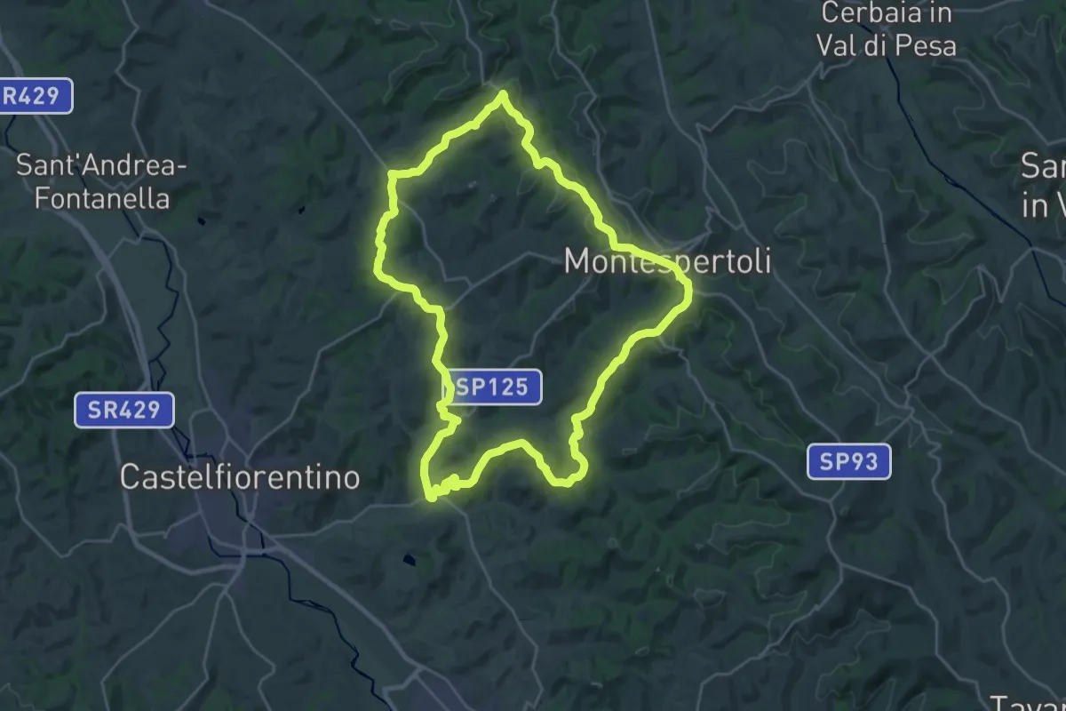
Demanding · Trail
Dolce campagna, antiche mura 3
26.4 km · ↑ 521 m · 7 h 44 min · 11 km away
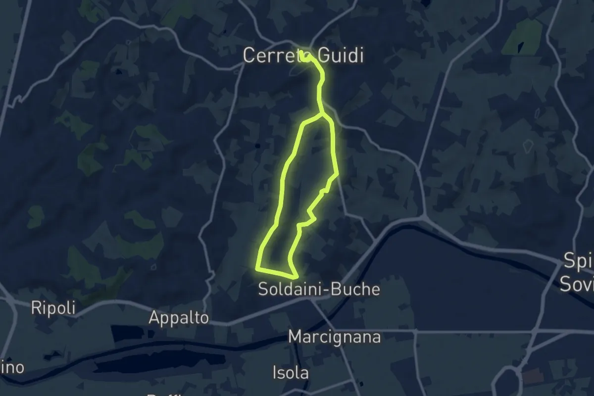
Easy · Trail
Anello mediceo 4 - Via del Lungo
7.7 km · ↑ 127 m · 2 h 11 min · 11 km away
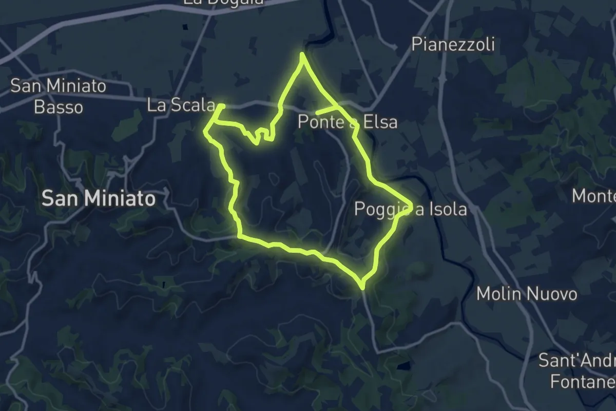
Medium · Trail
06 - Anello di San Genesio
11.6 km · ↑ 212 m · 3 h 22 min · 11 km away
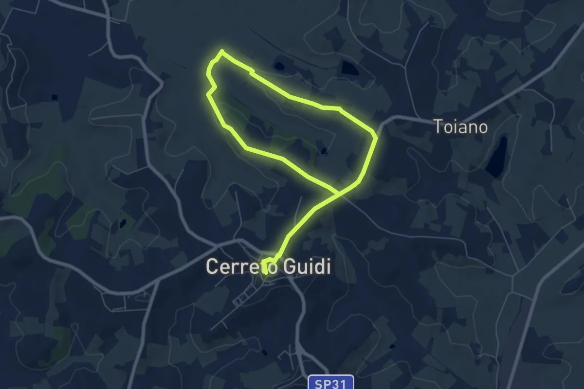
Easy · Trail
Anello mediceo 6 - Sommiano
5.0 km · ↑ 88 m · 1 h 26 min · 11 km away
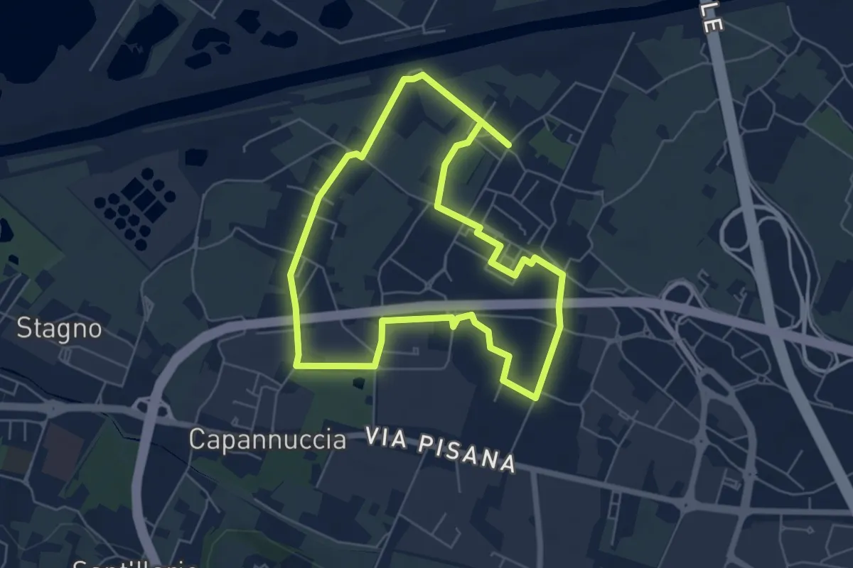
Easy · Trail
Badia a Settimo - Variante sentiero dei 3 Fiumi
5.8 km · ↑ 0 m · 1 h 26 min · 11 km away
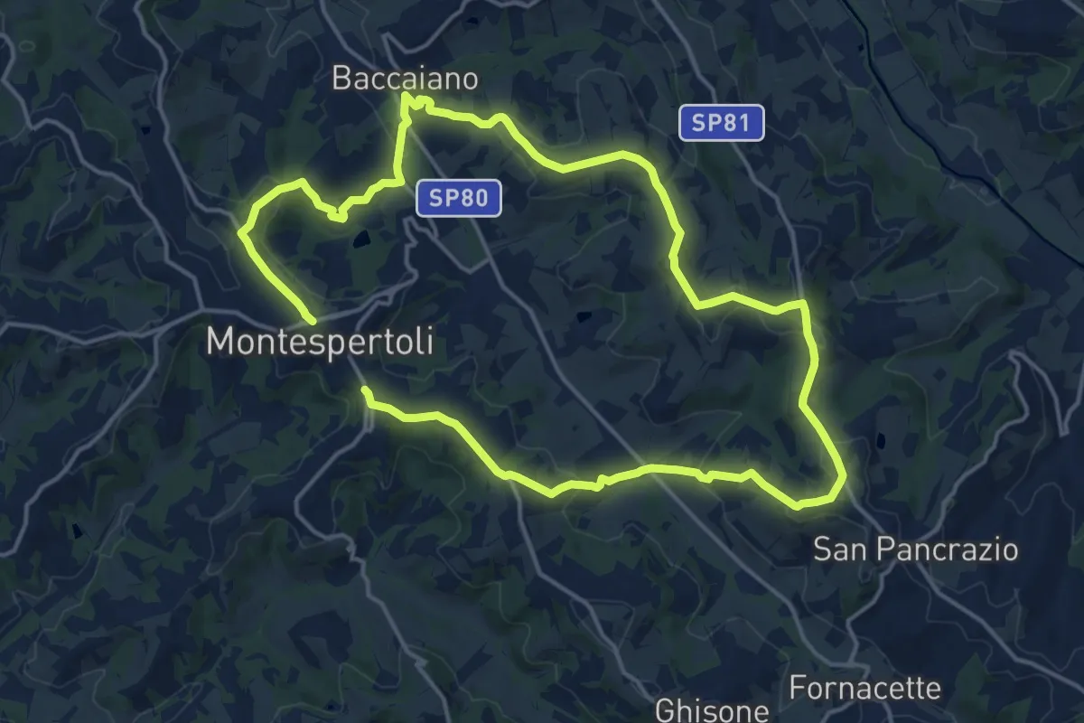
Medium · Trail
Dolce campagna, antiche mura 1
15.3 km · ↑ 366 m · 4 h 38 min · 11 km away
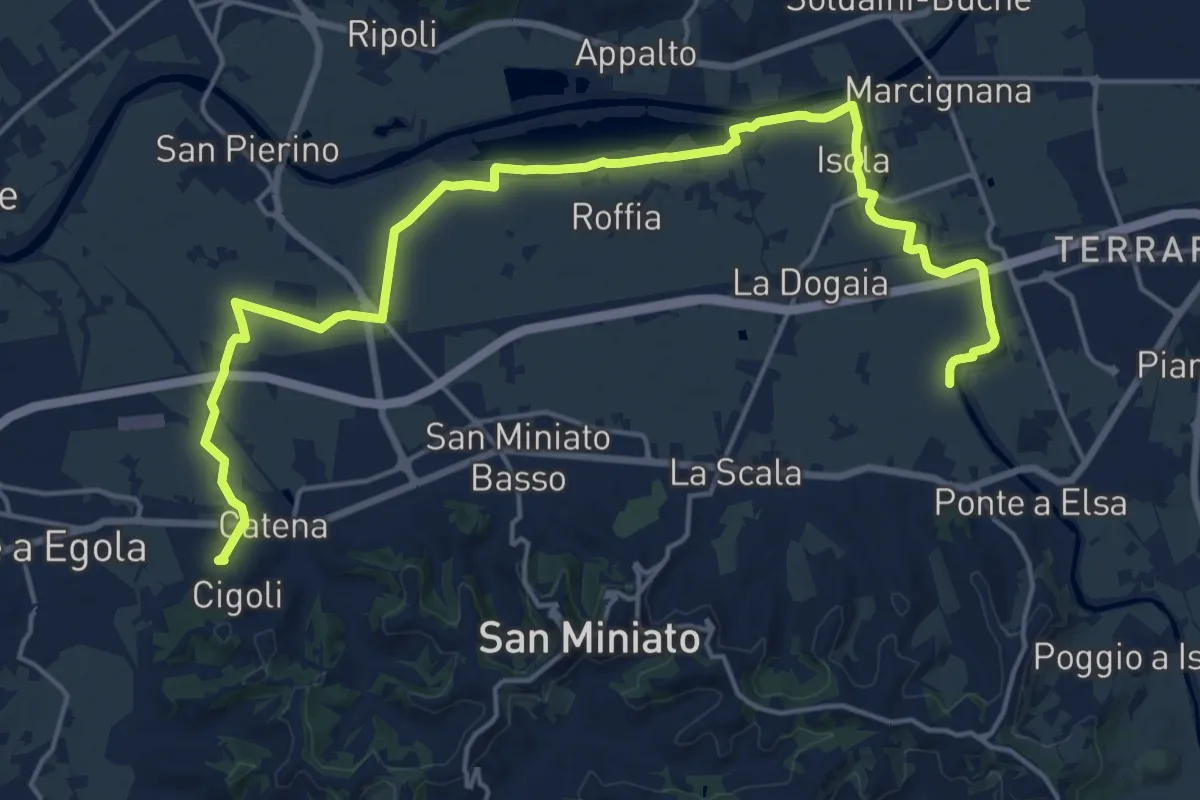
Demanding · Trail
C01 - Collegamento Gran Anello Nord
24.2 km · ↑ 61 m · 5 h 51 min · 12 km away
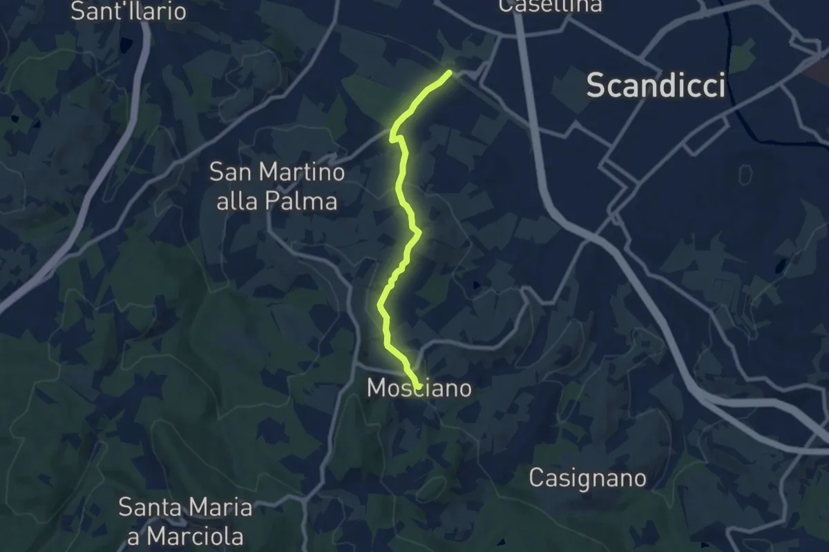
Easy · Trail
ponte del ristoro Scandicci, innesto CAI 746 (3 Fiumi) – Mosciano, innesto sentiero CAI 735
7.0 km · ↑ 188 m · 2 h 3 min · 12 km away
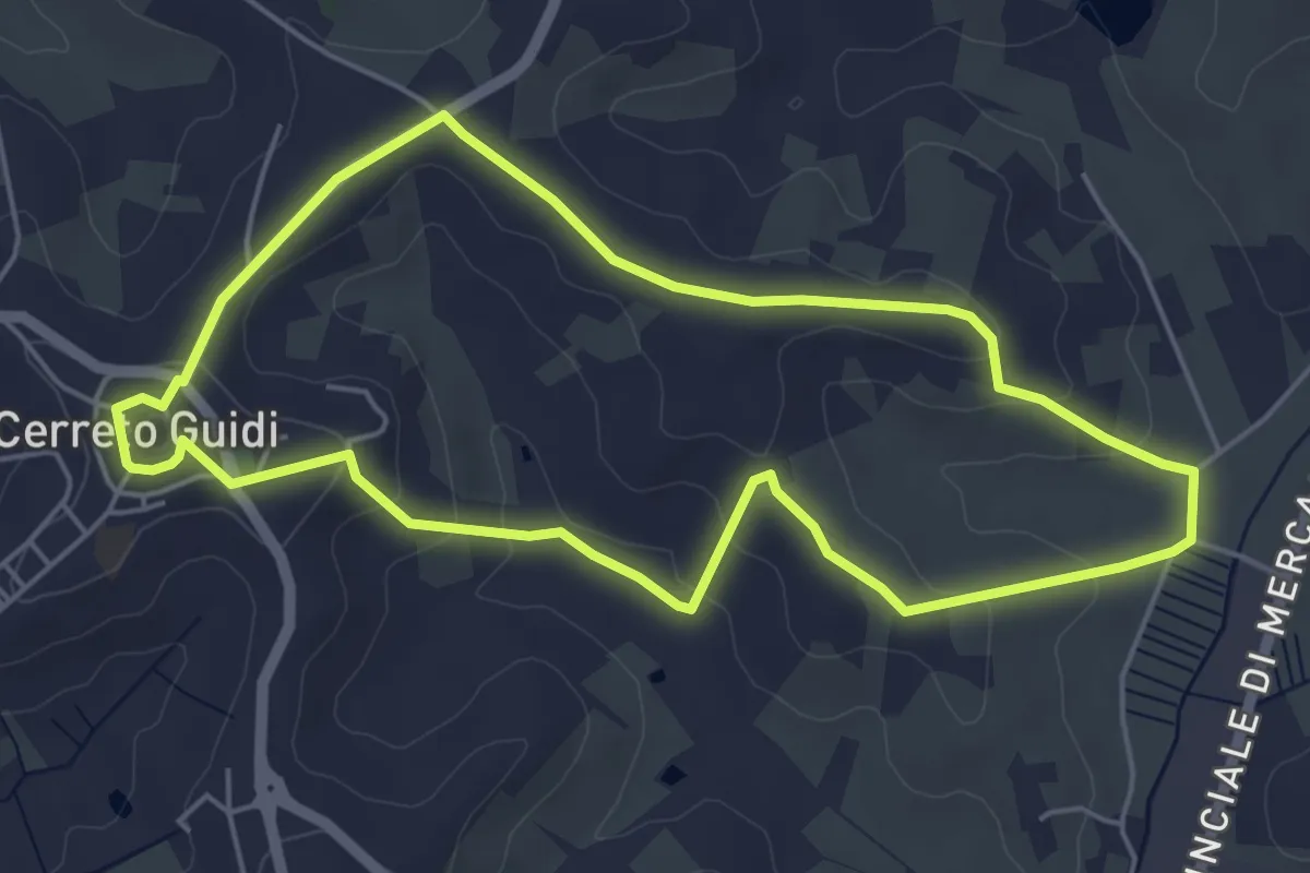
Easy · Trail
Anello mediceo 5 - Callaiola
5.4 km · ↑ 127 m · 1 h 38 min · 12 km away
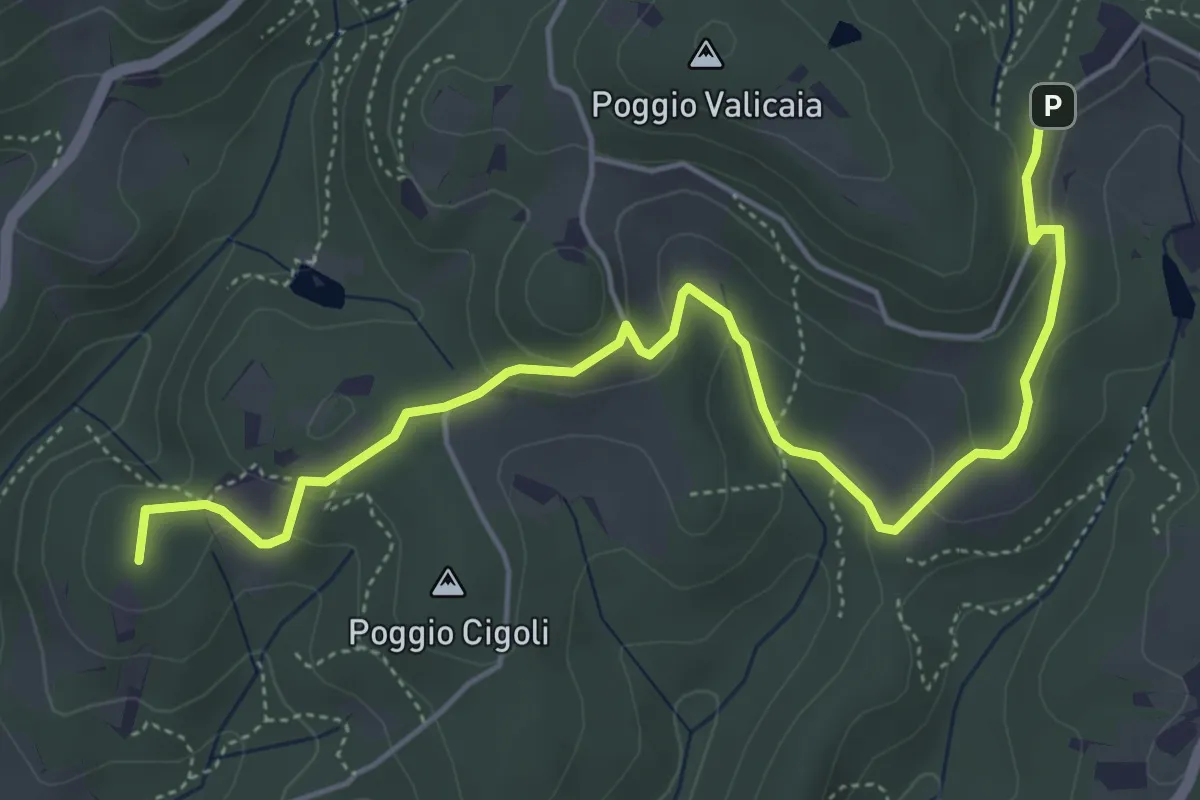
Easy · Summit
Castellare – Poggio Valicaia
6.3 km · ↑ 220 m · 1 h 57 min · 12 km away
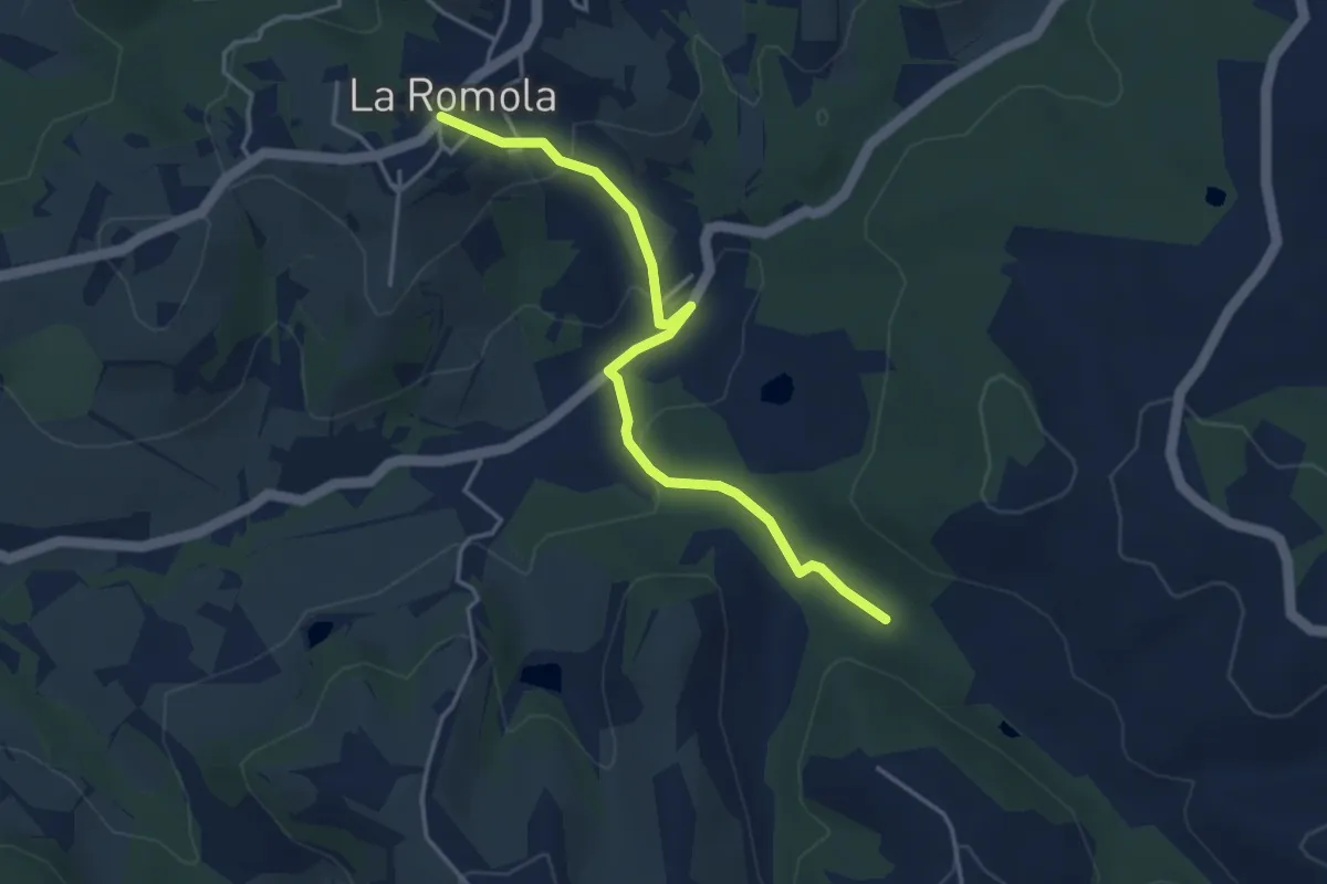
Easy · Trail
Romola Sequoia Sugana
4.2 km · ↑ 141 m · 1 h 18 min · 12 km away