Trails near Montepulciano
27 hikes starting within 15 km, nearest first.
Nearest first
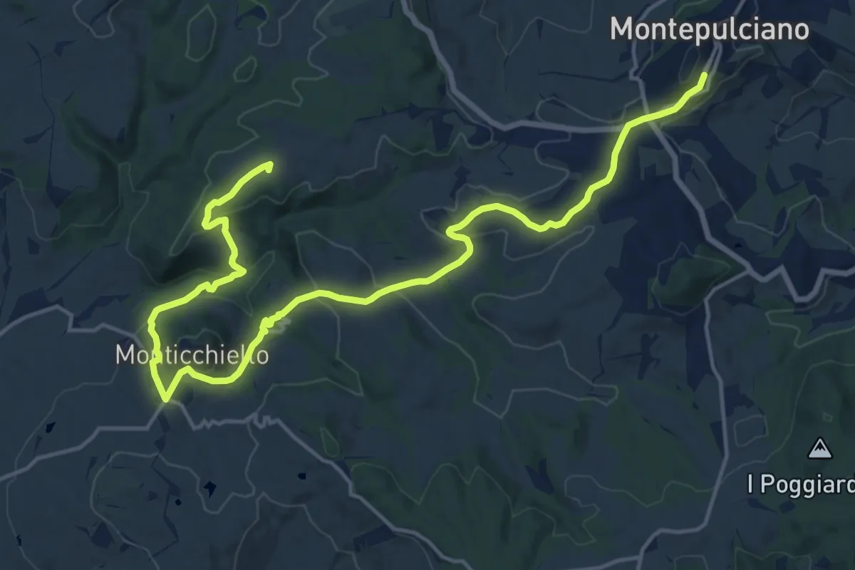
Demanding · Summit
Barlettaia
20.9 km · ↑ 702 m · 6 h 27 min · under 1 km away
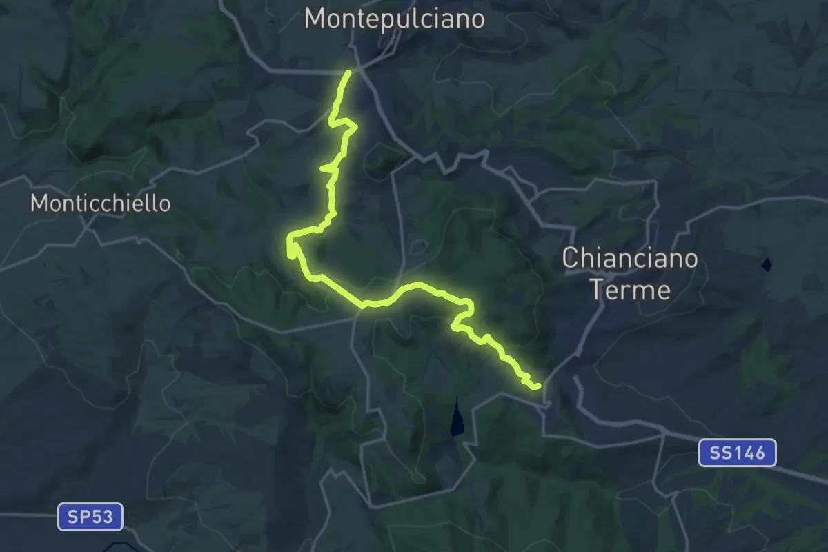
Demanding · Trail
Chianciano Terme - Montepulciano
21.0 km · ↑ 562 m · 6 h 11 min · 1 km away
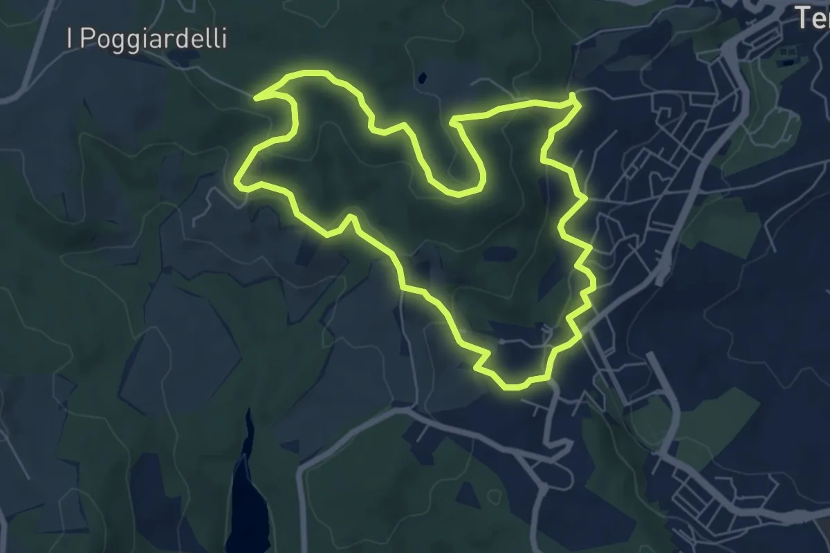
Easy · Trail
Anello corto
7.0 km · ↑ 251 m · 2 h 18 min · 5 km away
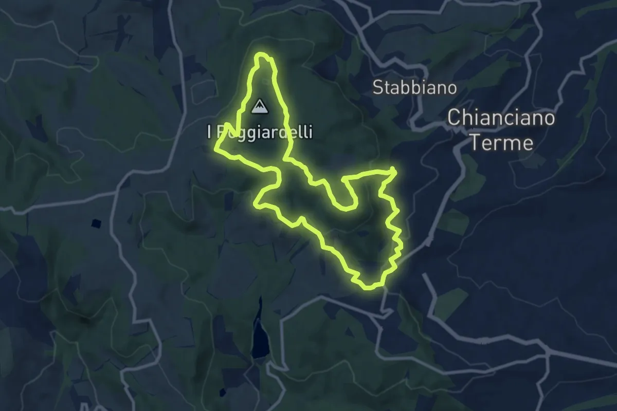
Medium · Trail
Anello del convento
10.2 km · ↑ 320 m · 3 h 14 min · 5 km away
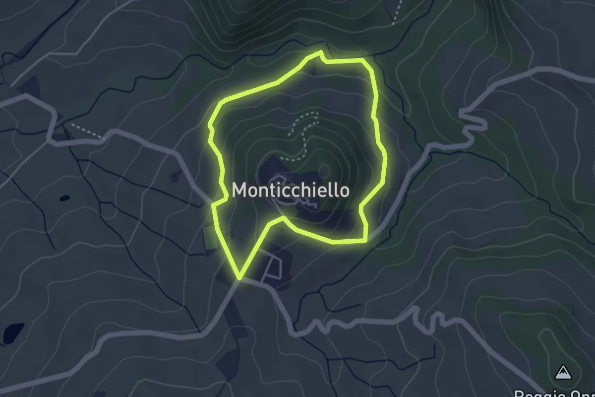
Easy · Trail
Monticchiello
3.3 km · ↑ 132 m · 1 h 6 min · 6 km away
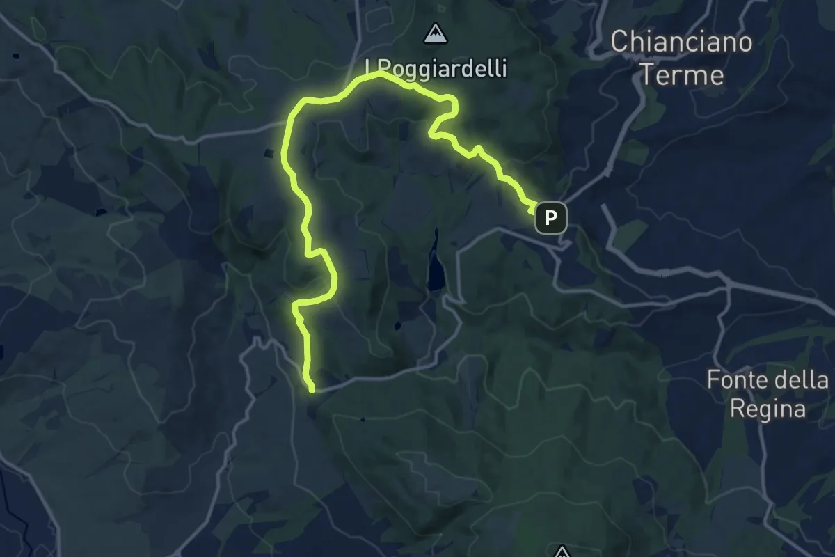
Medium · Trail
Chianciano - Bivio la Foce
16.7 km · ↑ 402 m · 4 h 49 min · 6 km away
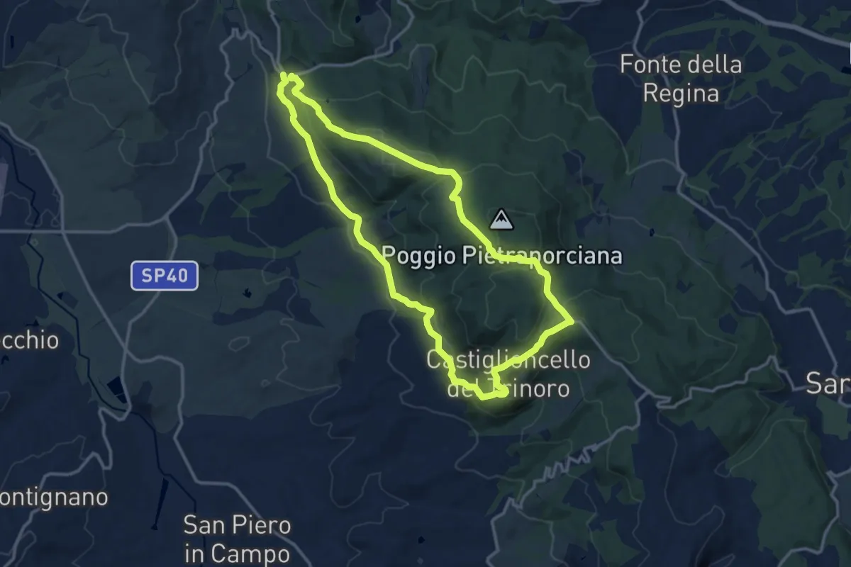
Medium · Trail
Anello della Foce
12.8 km · ↑ 410 m · 4 h 5 min · 8 km away
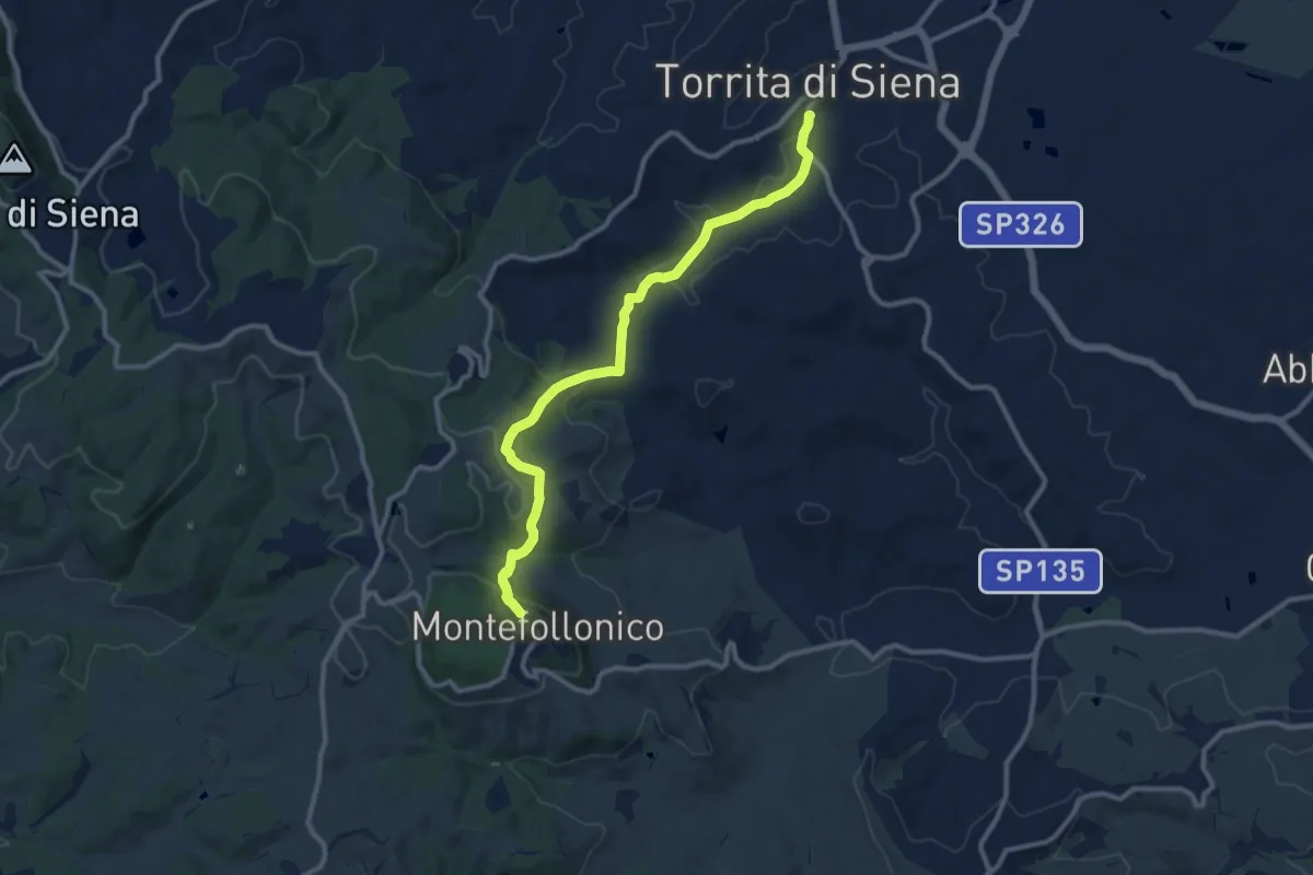
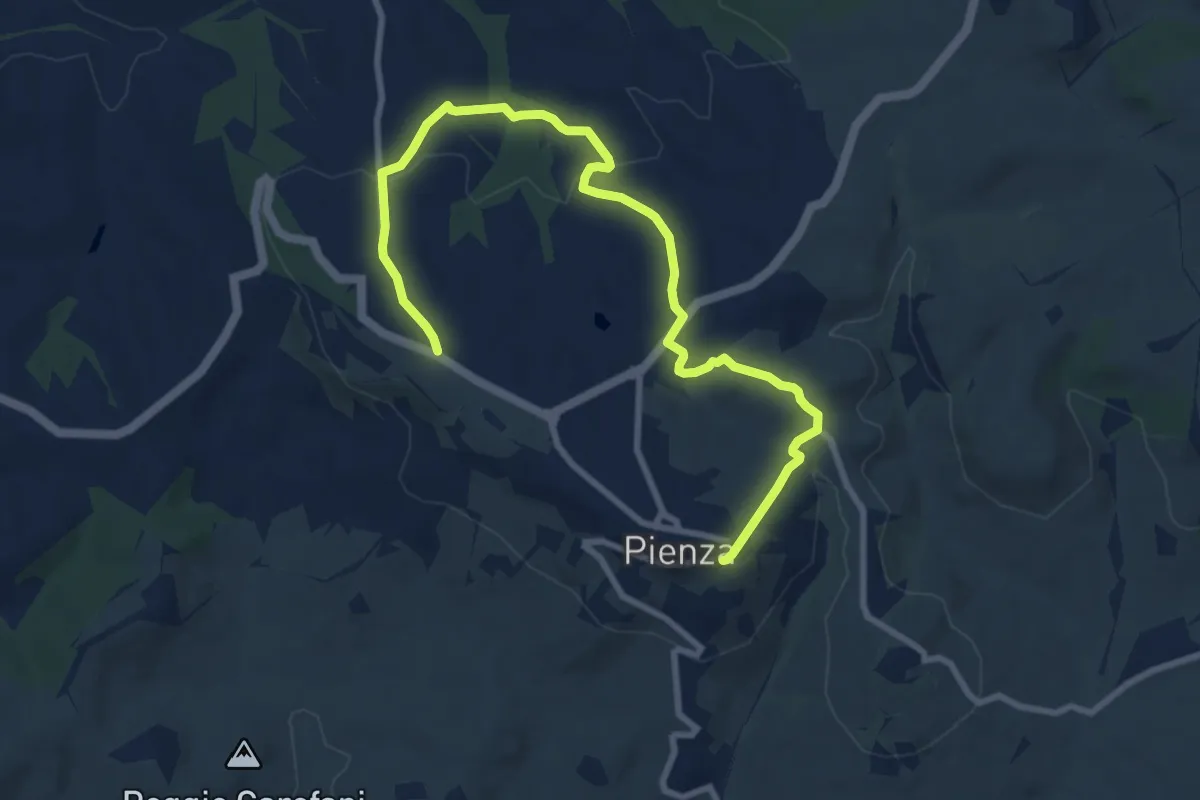
Medium · Trail
Sentiero del Vinsanto
11.6 km · ↑ 367 m · 3 h 32 min · 8 km away
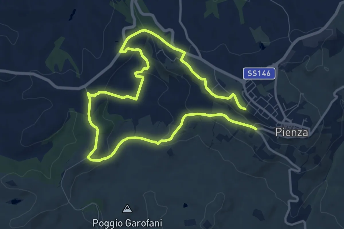
Medium · Trail
Miniera
11.1 km · ↑ 310 m · 3 h 18 min · 8 km away
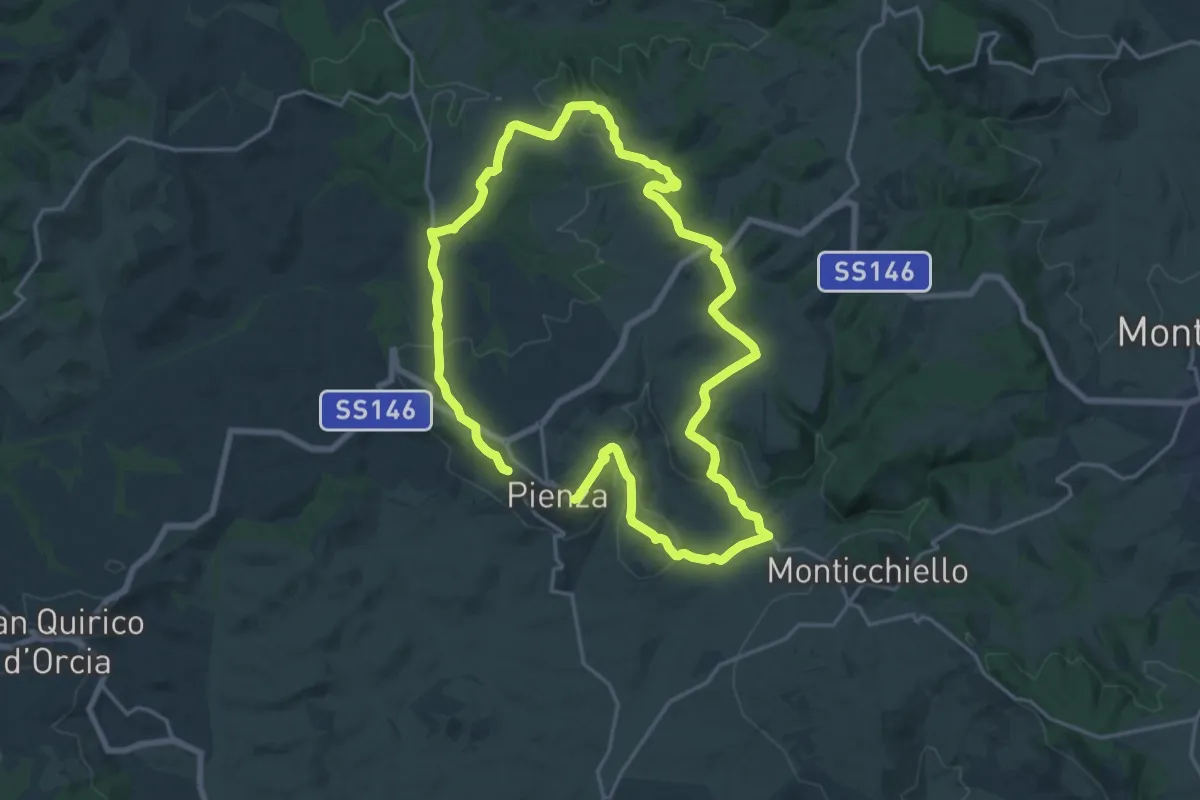
Medium · Trail
Ammannati
15.4 km · ↑ 430 m · 4 h 33 min · 9 km away
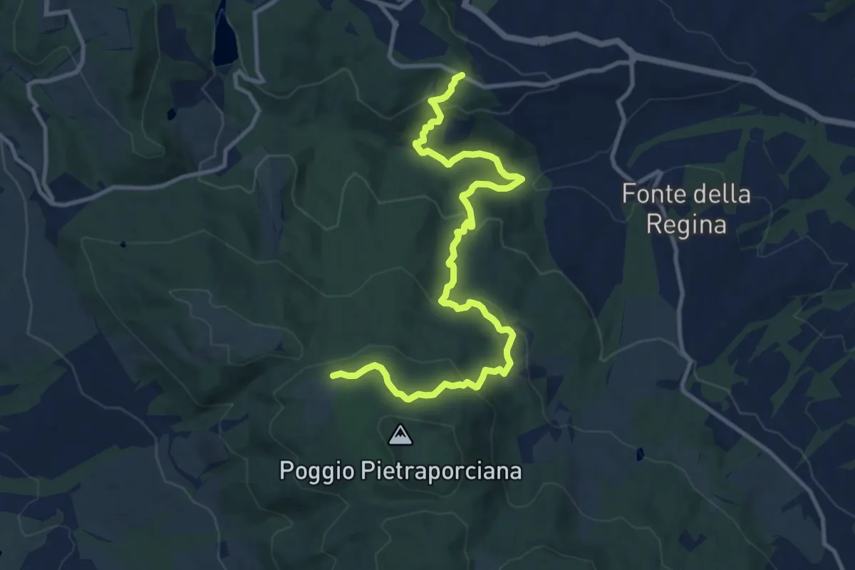
Demanding · Trail
Albergo
18.3 km · ↑ 374 m · 5 h 22 min · 9 km away
Medium · Trail
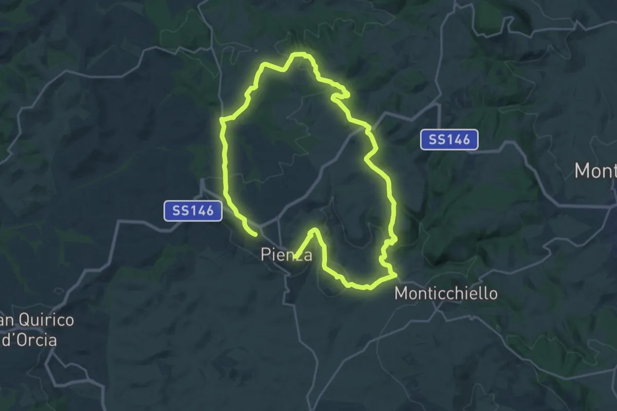
Chianciano Terme - Riserva Naturale di Pietraporciana
12.7 km · ↑ 577 m · 4 h 14 min · 9 km away
Medium · Trail
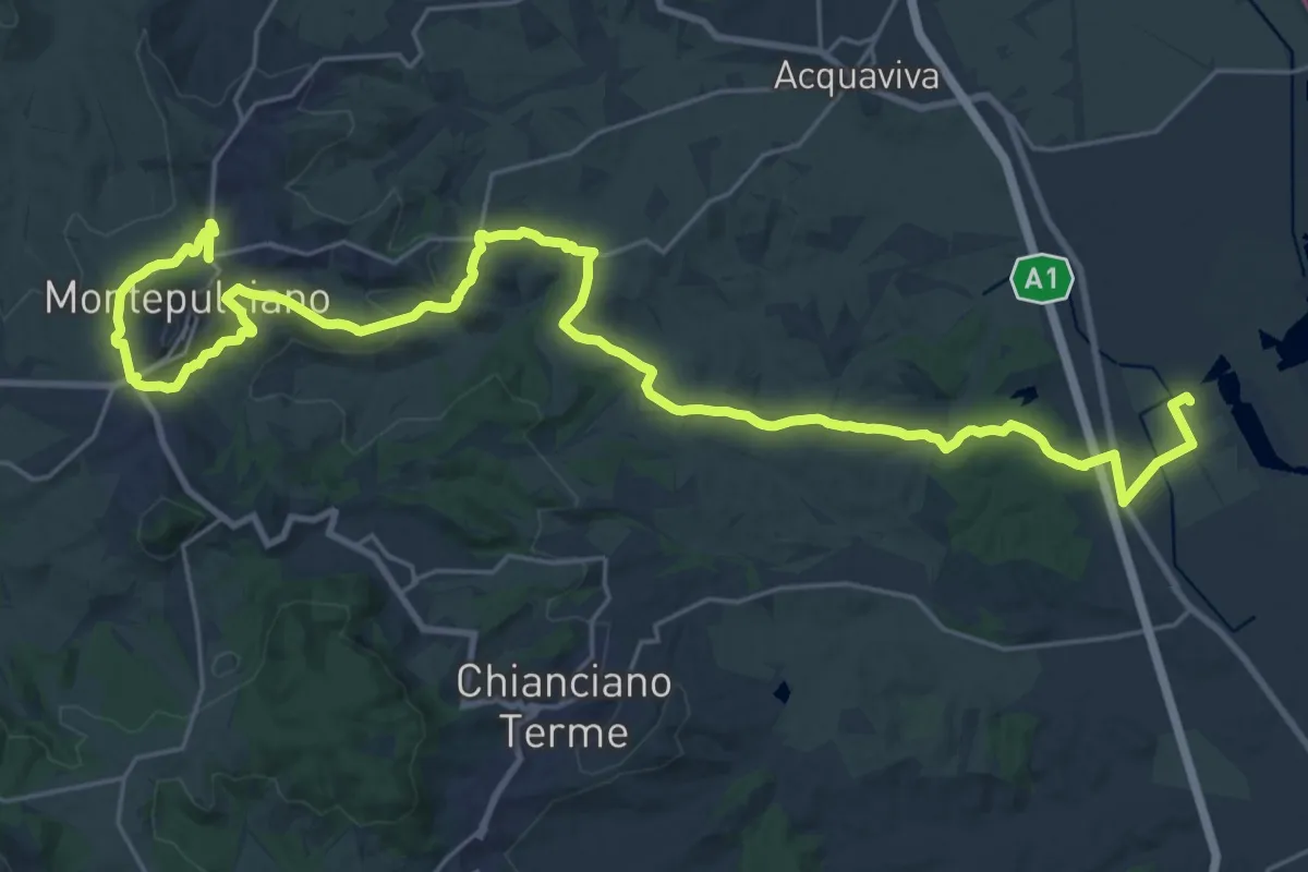
Cacciaconti
17.7 km · ↑ 385 m · 5 h 15 min · 9 km away
Demanding · Trail
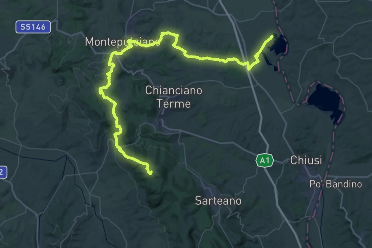
Sentiero del Nobile
18.3 km · ↑ 513 m · 5 h 33 min · 10 km away
Demanding · Cabin
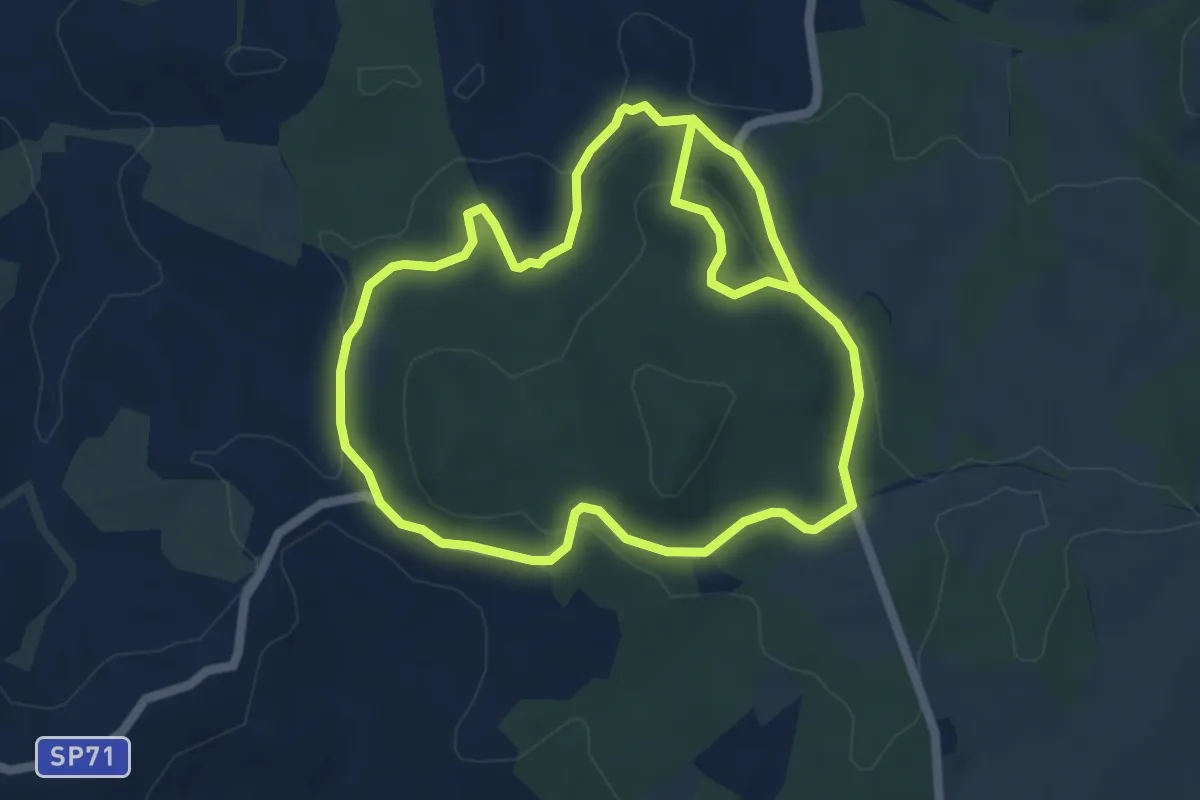
Riserva naturale lago di Montepulciano – Riseva naturale Pietraporciana
31.6 km · ↑ 962 m · 9 h 43 min · 11 km away
Easy · Trail
Sodoma
5.8 km · ↑ 105 m · 1 h 41 min · 11 km away
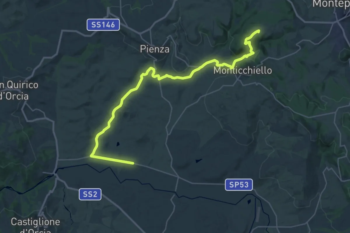
Demanding · Summit
Sentiero della Via Barlettaia
28.6 km · ↑ 512 m · 7 h 52 min · 12 km away
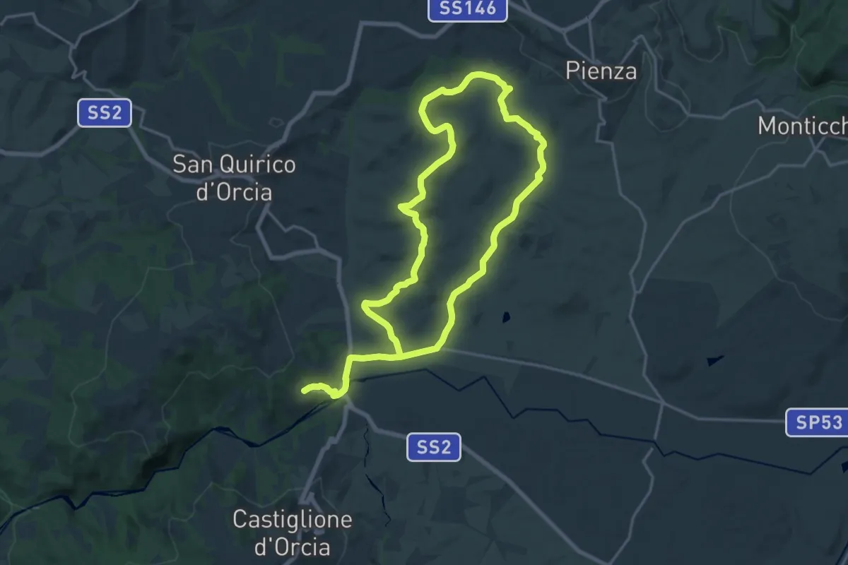
Medium · Trail
Terrapille
16.5 km · ↑ 327 m · 4 h 48 min · 14 km away
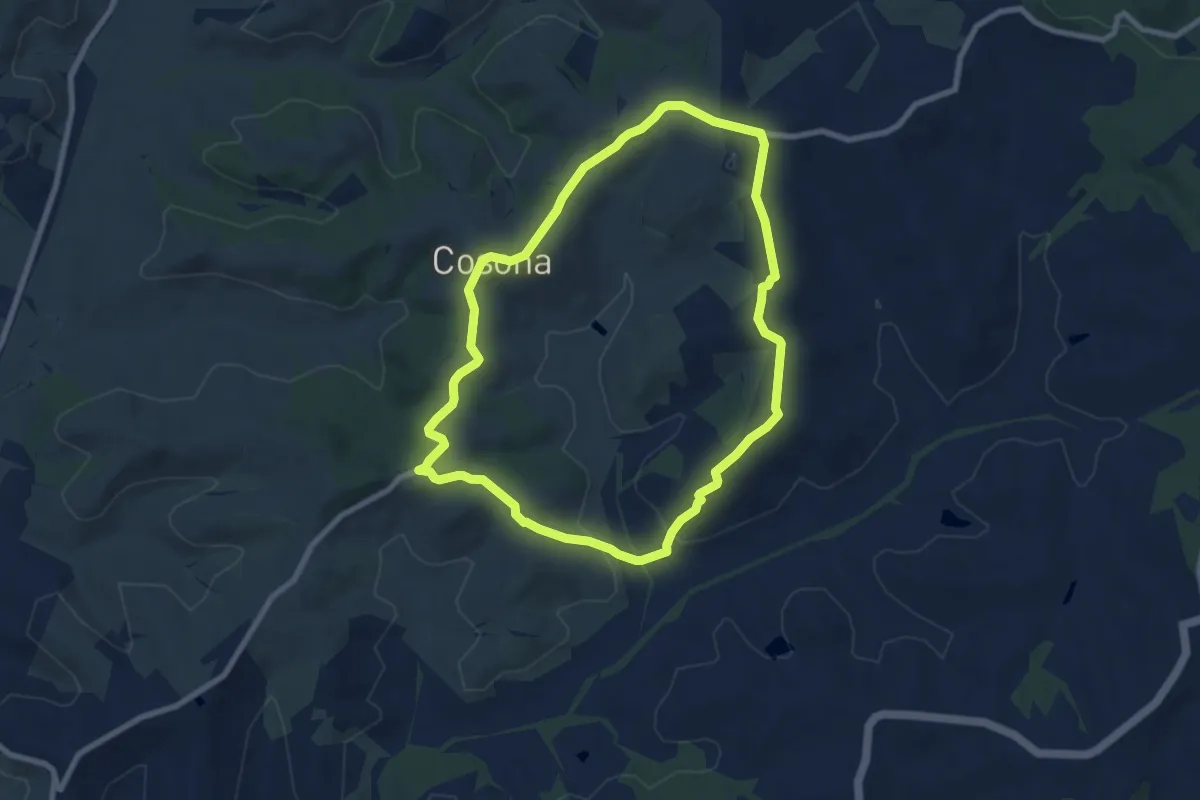
Medium · Trail
Forteguerri
8.2 km · ↑ 176 m · 2 h 26 min · 14 km away
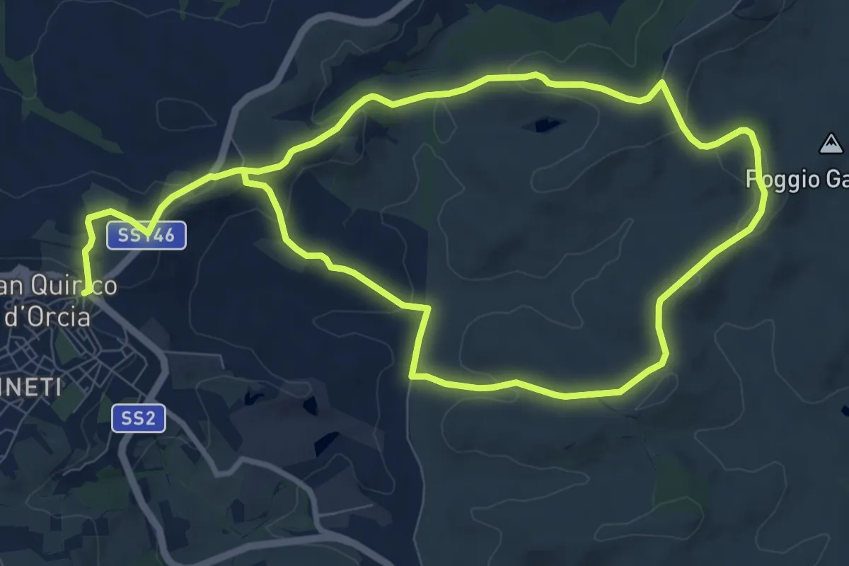
Medium · Trail
Vitaleta
17.7 km · ↑ 404 m · 5 h 3 min · 14 km away
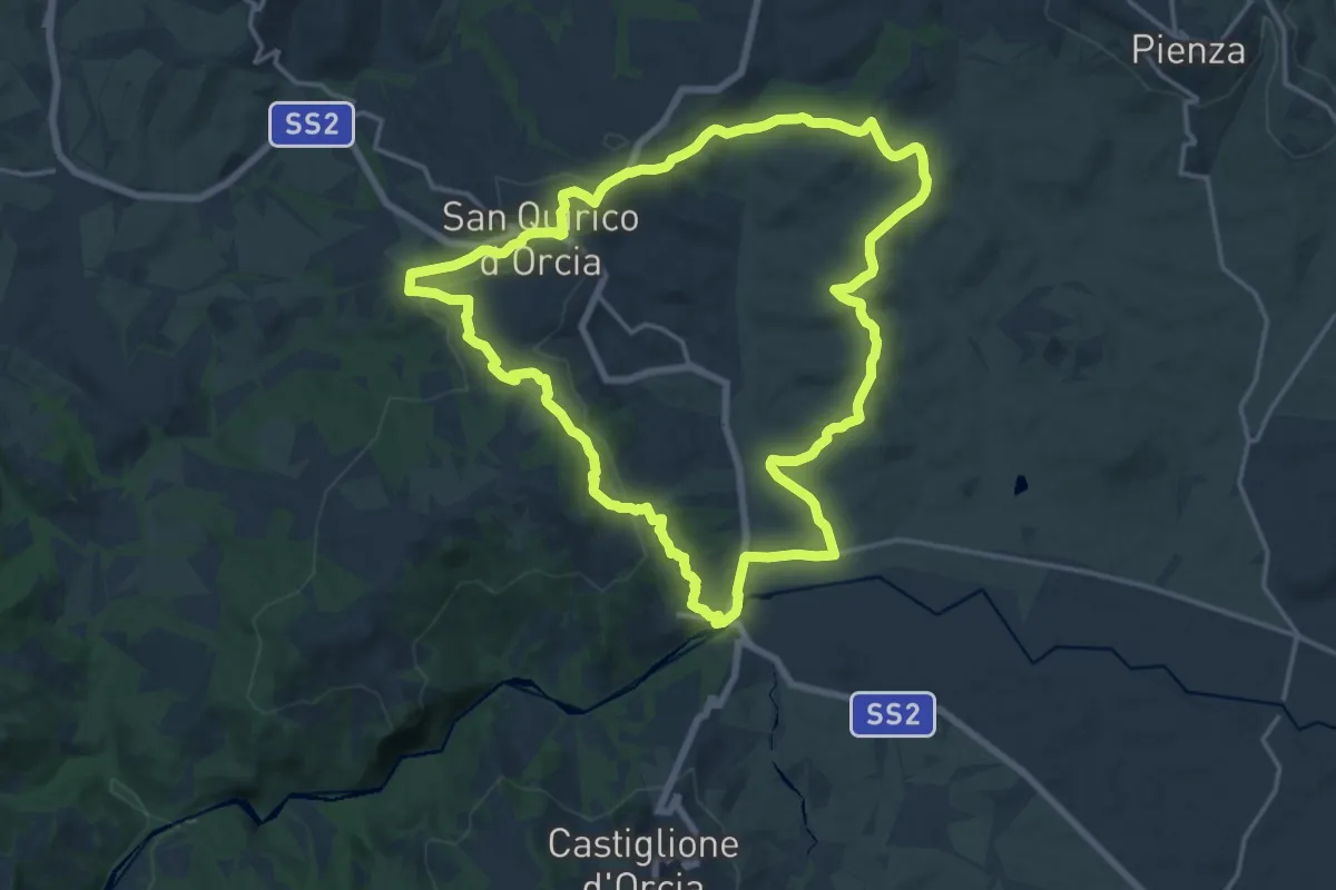
Demanding · Trail
Bagno Vignoni - San Quirico
18.7 km · ↑ 403 m · 5 h 33 min · 15 km away
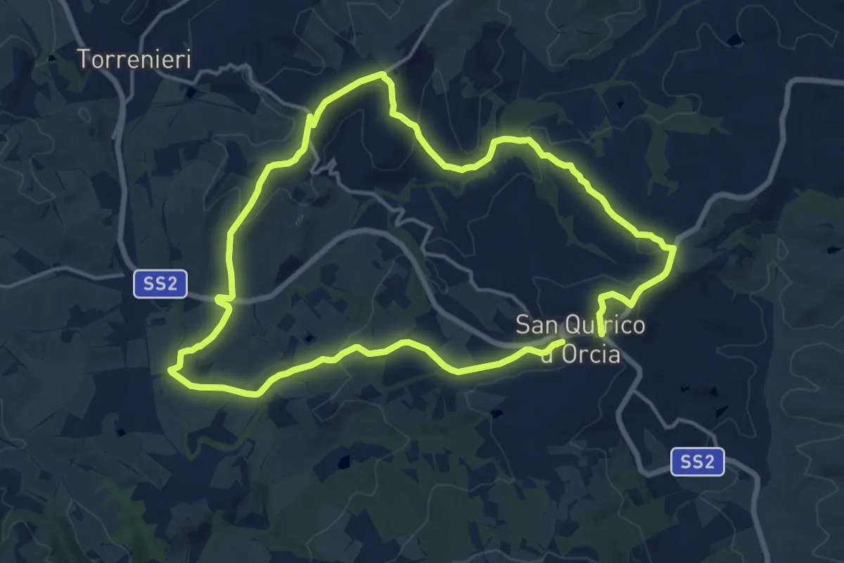
Medium · Trail
i Cipressi
14.4 km · ↑ 327 m · 4 h 18 min · 15 km away
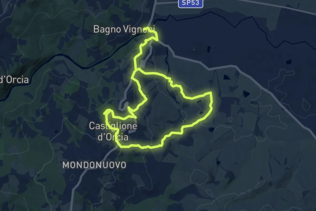
Demanding · Trail
Poggio Istiano
21.0 km · ↑ 812 m · 6 h 43 min · 15 km away
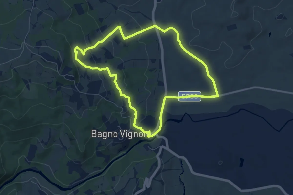
Easy · Trail
Casellona
7.4 km · ↑ 205 m · 2 h 18 min · 15 km away
Easy · Trail
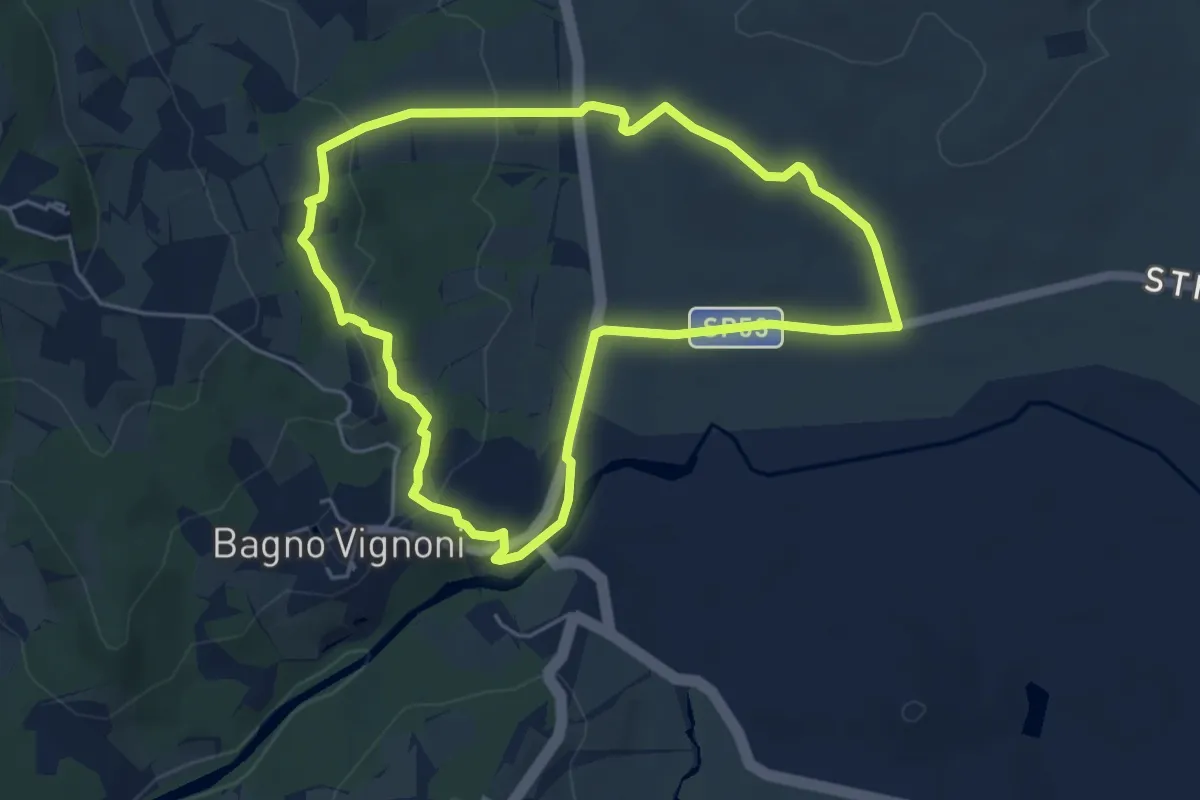
Cerrolungo
5.2 km · ↑ 142 m · 1 h 37 min · 15 km away
Medium · Trail
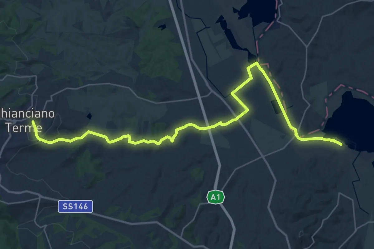
Chianciano - Lago di Chiusi
15.4 km · ↑ 264 m · 4 h 19 min · 15 km away
Medium · Trail
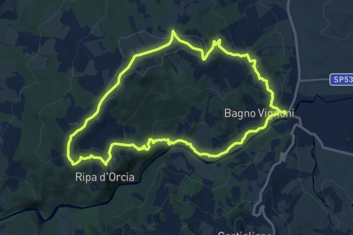
Poggio al Vento da Bagno Vignoni
12.1 km · ↑ 401 m · 3 h 54 min · 15 km away