Trails near Monterotondo
41 hikes starting within 15 km, nearest first.
Nearest first
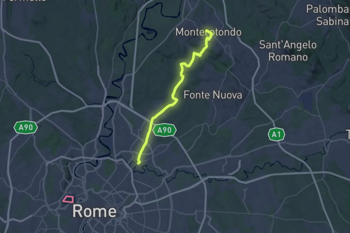
Demanding · Trail
Via di Francesco/Via del SUD - Tappa 2
18.5 km · ↑ 245 m · 5 h 13 min · under 1 km away
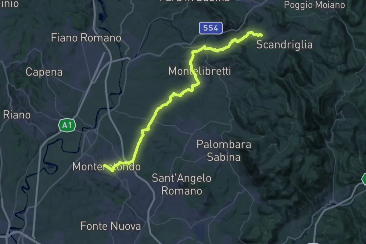
Demanding · Trail
Via di Francesco/Via del SUD - Tappa 3
30.0 km · ↑ 690 m · 8 h 54 min · under 1 km away
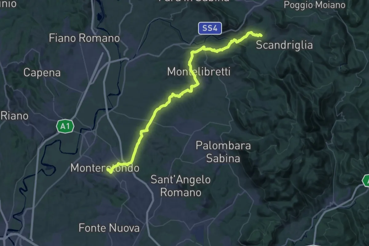
Demanding · Trail
Via di Francesco - Tappa 20
29.4 km · ↑ 691 m · 8 h 45 min · under 1 km away
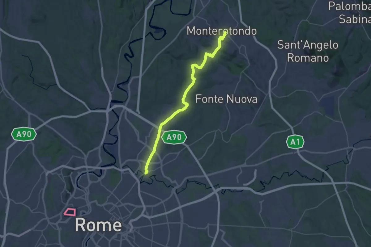
Medium · Trail
Via di Francesco - Tappa 21
17.9 km · ↑ 253 m · 5 h 5 min · under 1 km away
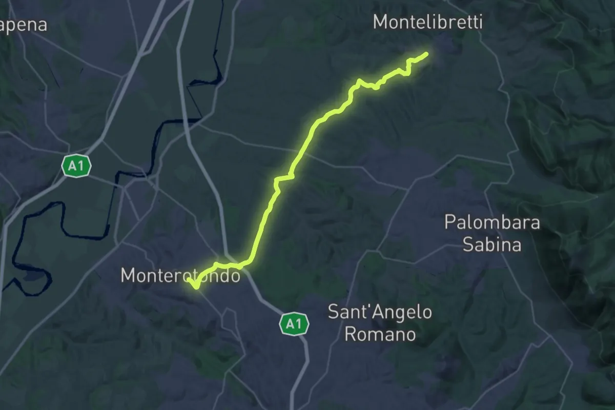
Medium · Trail
Montelibretti – Monterotondo
16.4 km · ↑ 287 m · 4 h 40 min · under 1 km away
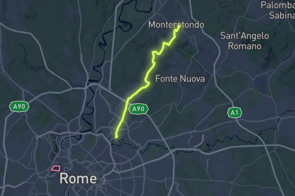
Medium · Trail
Monterotondo – Roma Monte Sacro
17.9 km · ↑ 259 m · 5 h 6 min · under 1 km away
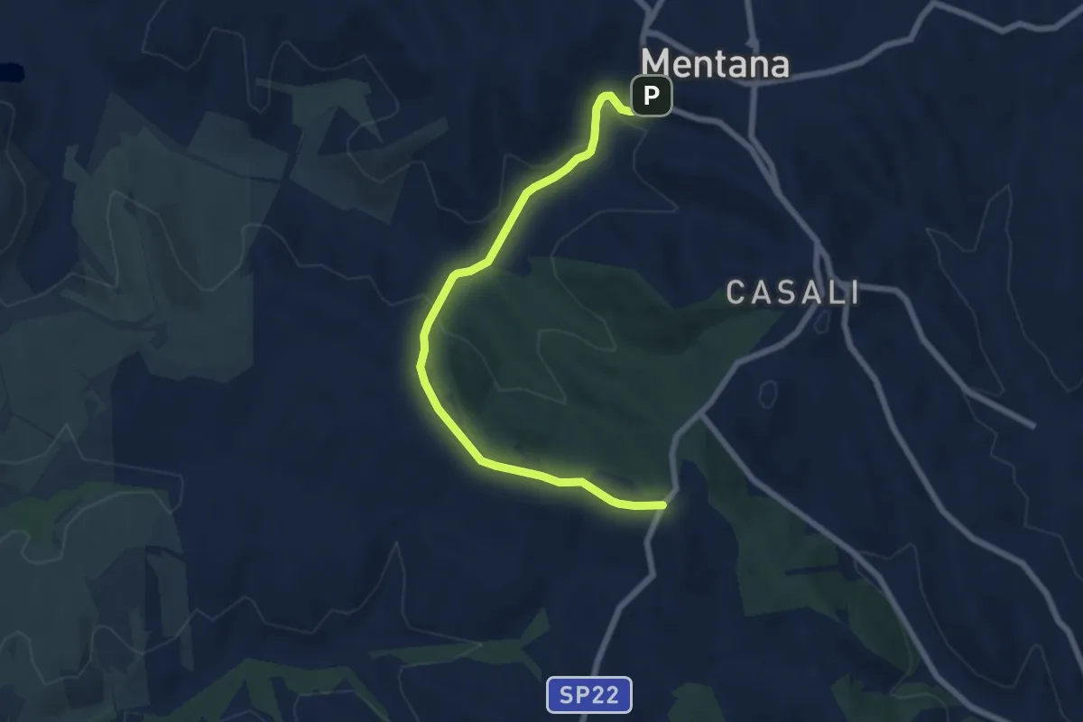
Easy · Trail
Piazzale Selva dei Cavalieri – Centro storico Mentana
7.5 km · ↑ 192 m · 2 h 11 min · 3 km away
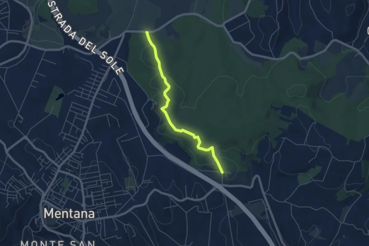
Easy · Trail
Percorso Blu
5.2 km · ↑ 58 m · 1 h 22 min · 3 km away
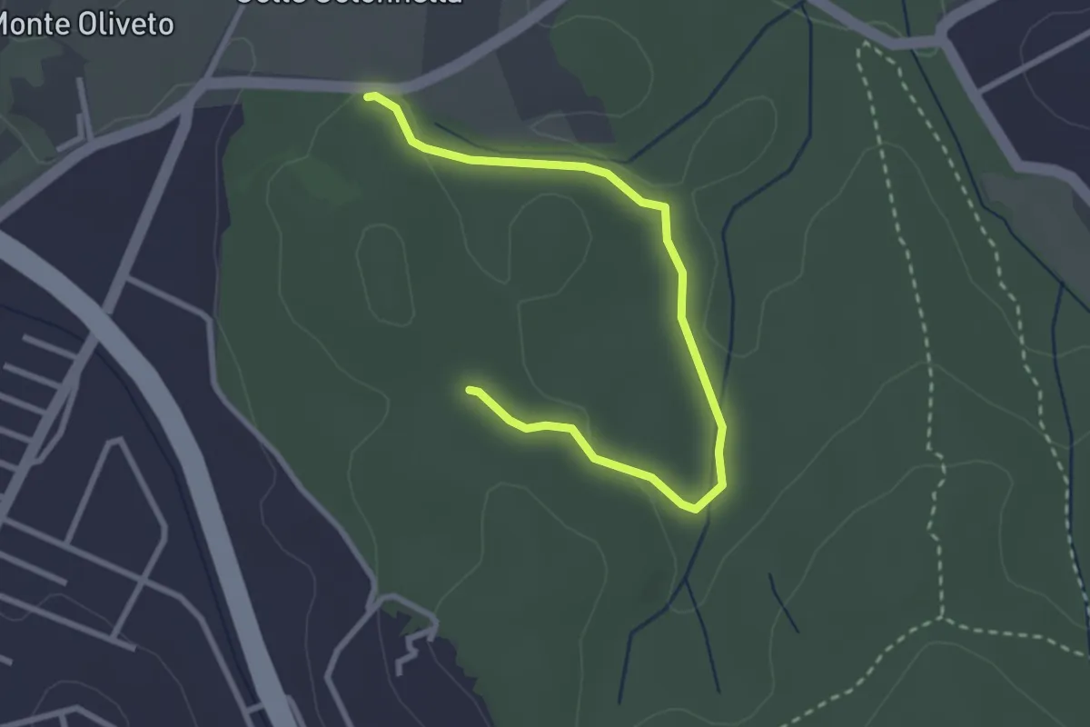
Easy · Trail
Ingresso Strada Provinciale – Incrocio con il sentiero 438
3.3 km · ↑ 49 m · 54 min · 3 km away
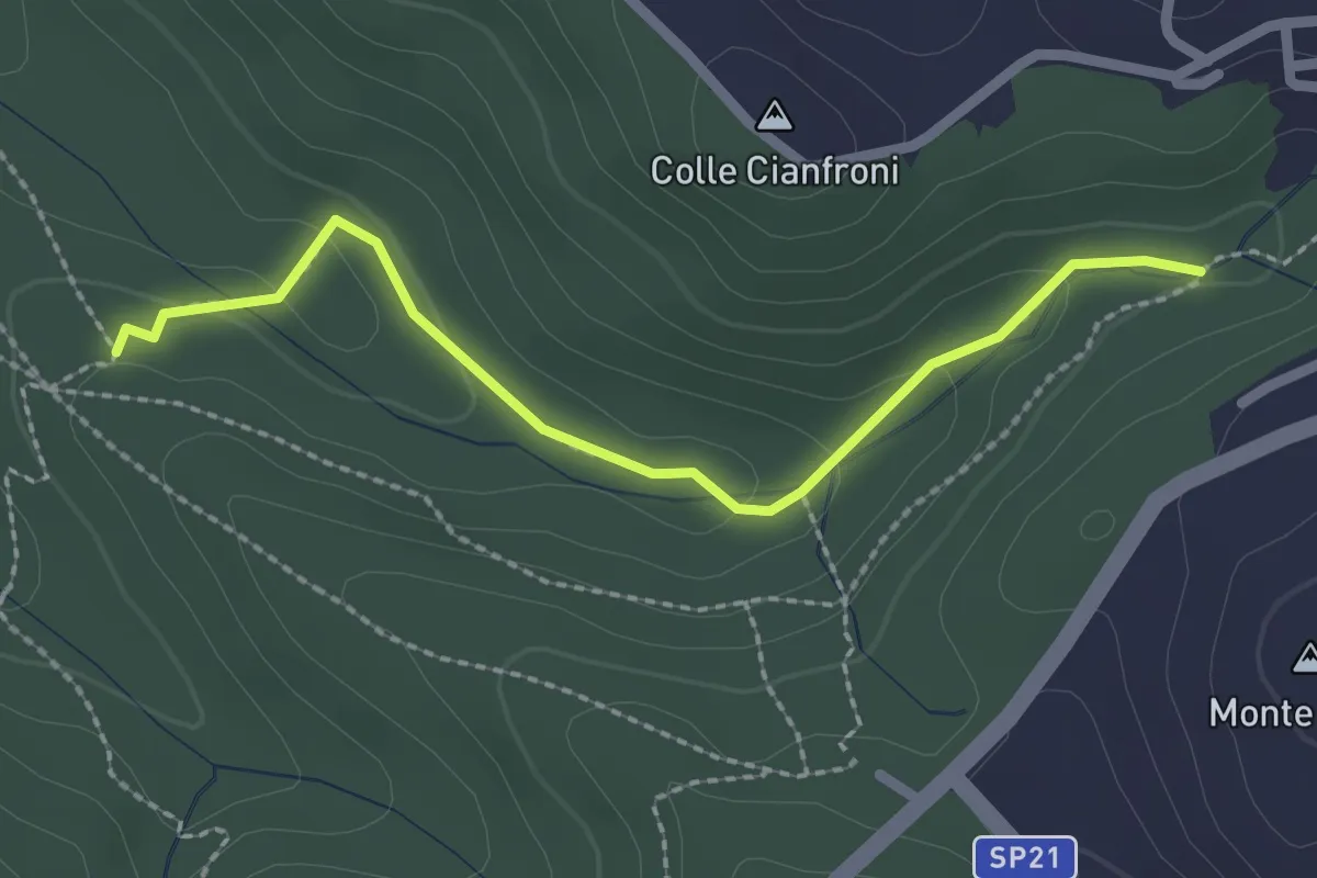
Easy · Trail
Sentiero di Casali variante 491C
2.5 km · ↑ 72 m · 45 min · 3 km away
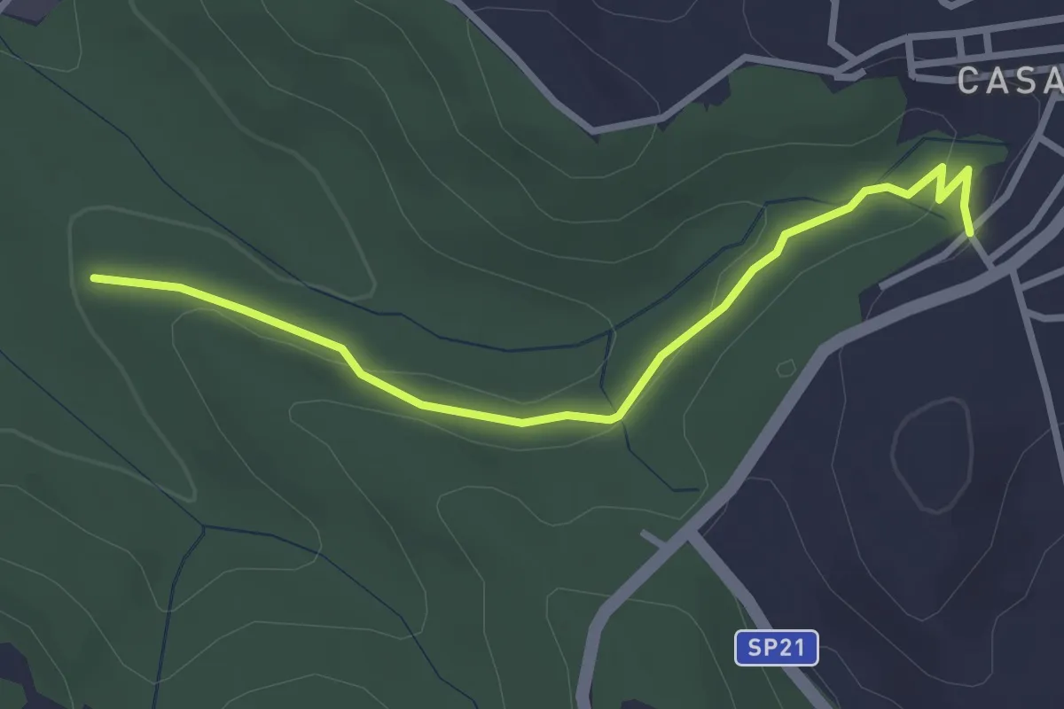
Easy · Trail
Fontanile di Collelungo – Località Romitorio Casali di Mentana
3.2 km · ↑ 74 m · 55 min · 4 km away
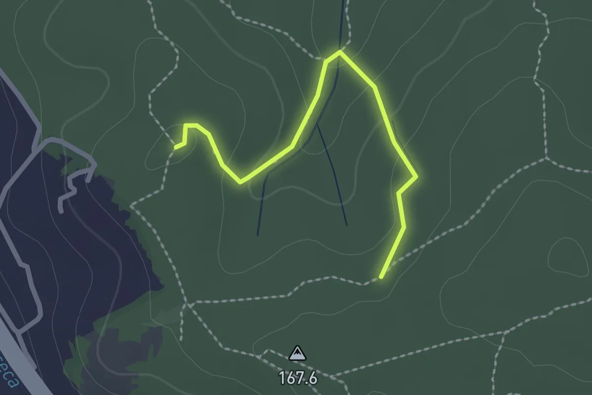
Easy · Trail
Bivio sentiero 439 – Bivio sentiero 438
2.2 km · ↑ 73 m · 40 min · 4 km away
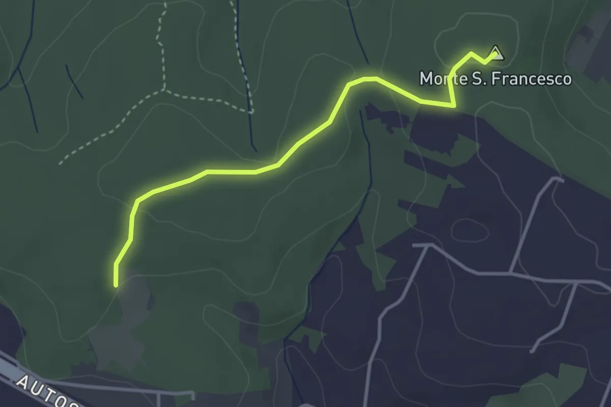
Easy · Summit
Sentiero Giallo
3.4 km · ↑ 57 m · 56 min · 4 km away
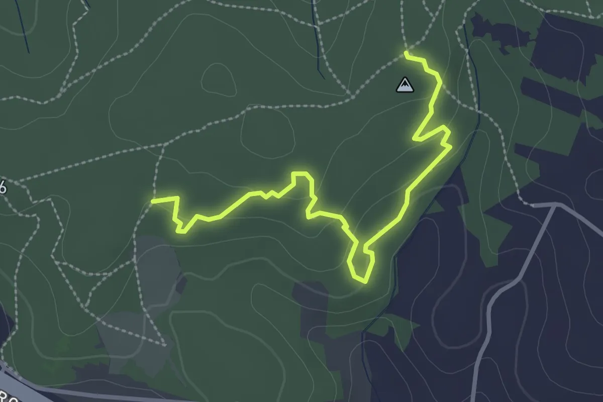
Easy · Trail
Sentiero delle Grotte
3.4 km · ↑ 94 m · 1 h 1 min · 4 km away
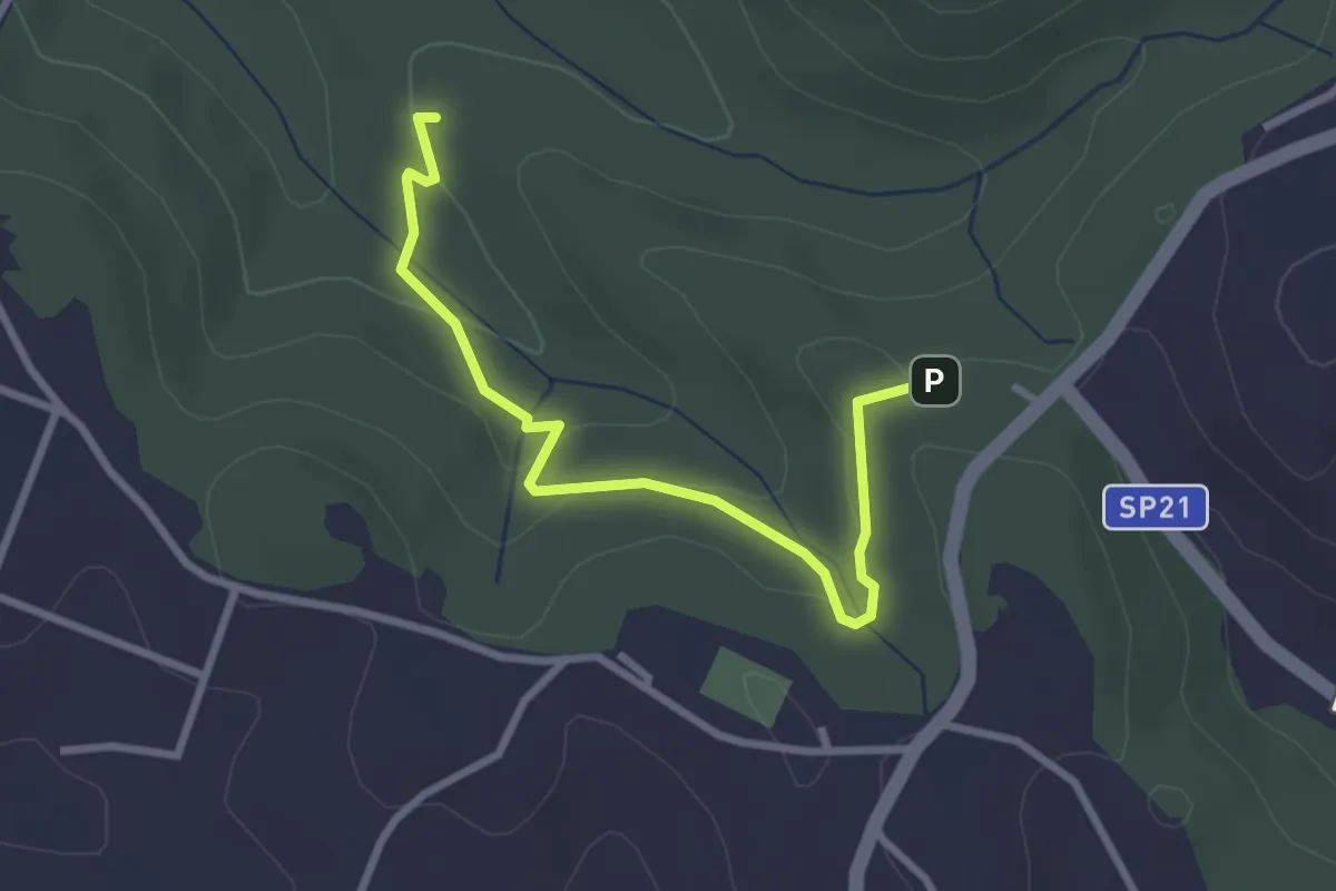
Easy · Trail
Incrocio sentiero 491 vicino ingresso Riserva – Fontanile di Collelungo
3.3 km · ↑ 96 m · 59 min · 4 km away
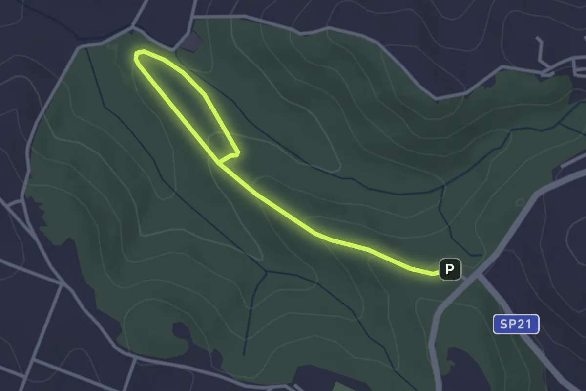
Easy · Trail
491 Sentiero di Collelungo
3.7 km · ↑ 131 m · 1 h 9 min · 4 km away
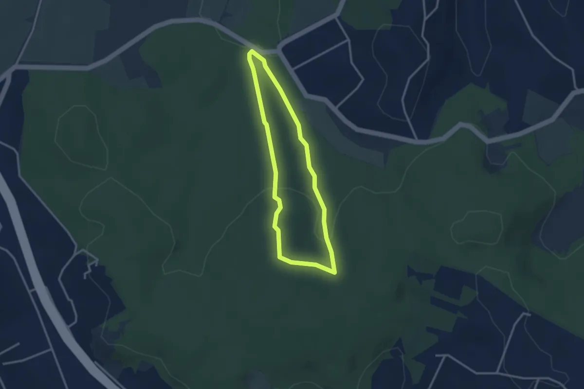
Easy · Trail
Sentiero Rosso (parte 2)
2.6 km · ↑ 73 m · 48 min · 4 km away
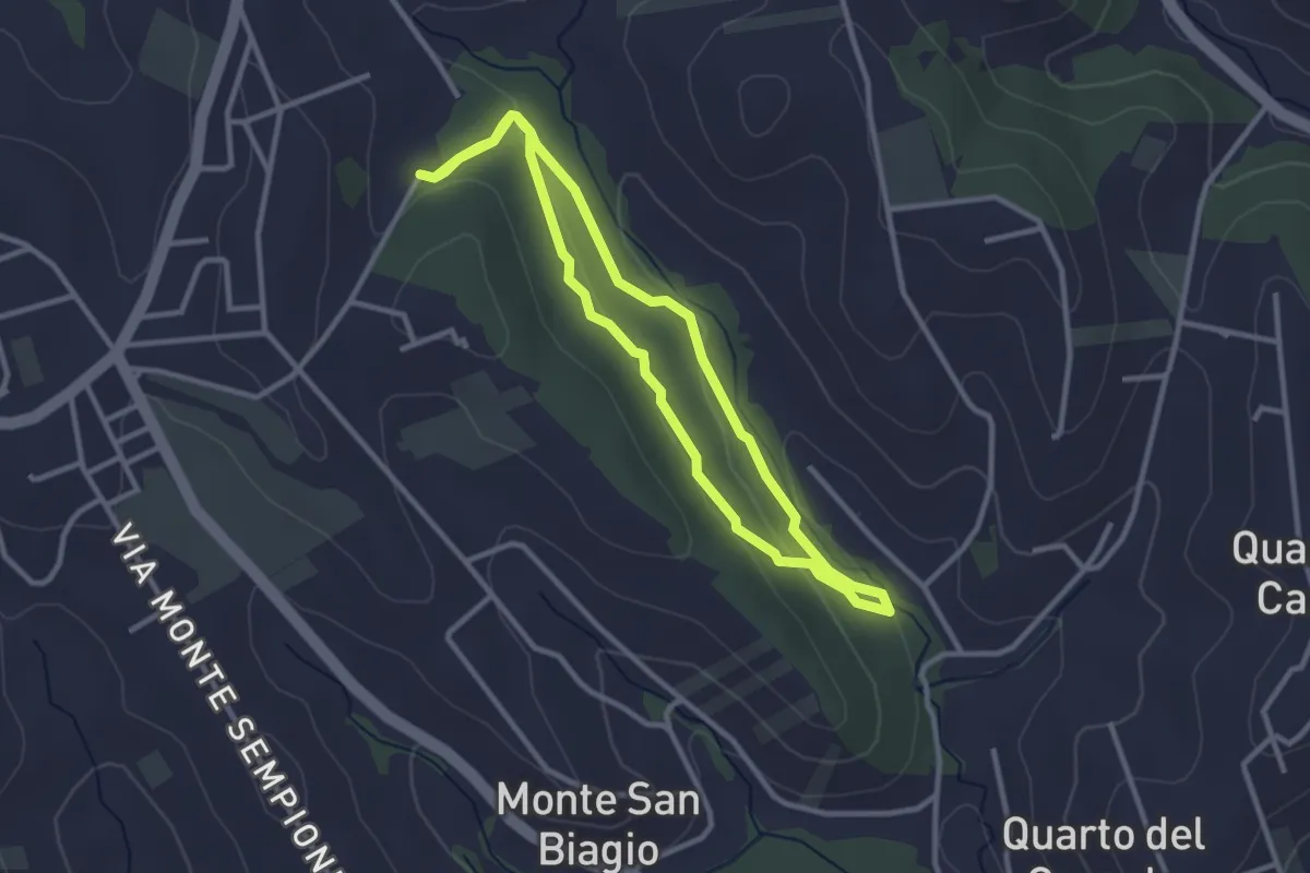
Easy · Trail
Anello Macchia Mancini
2.9 km · ↑ 55 m · 51 min · 6 km away
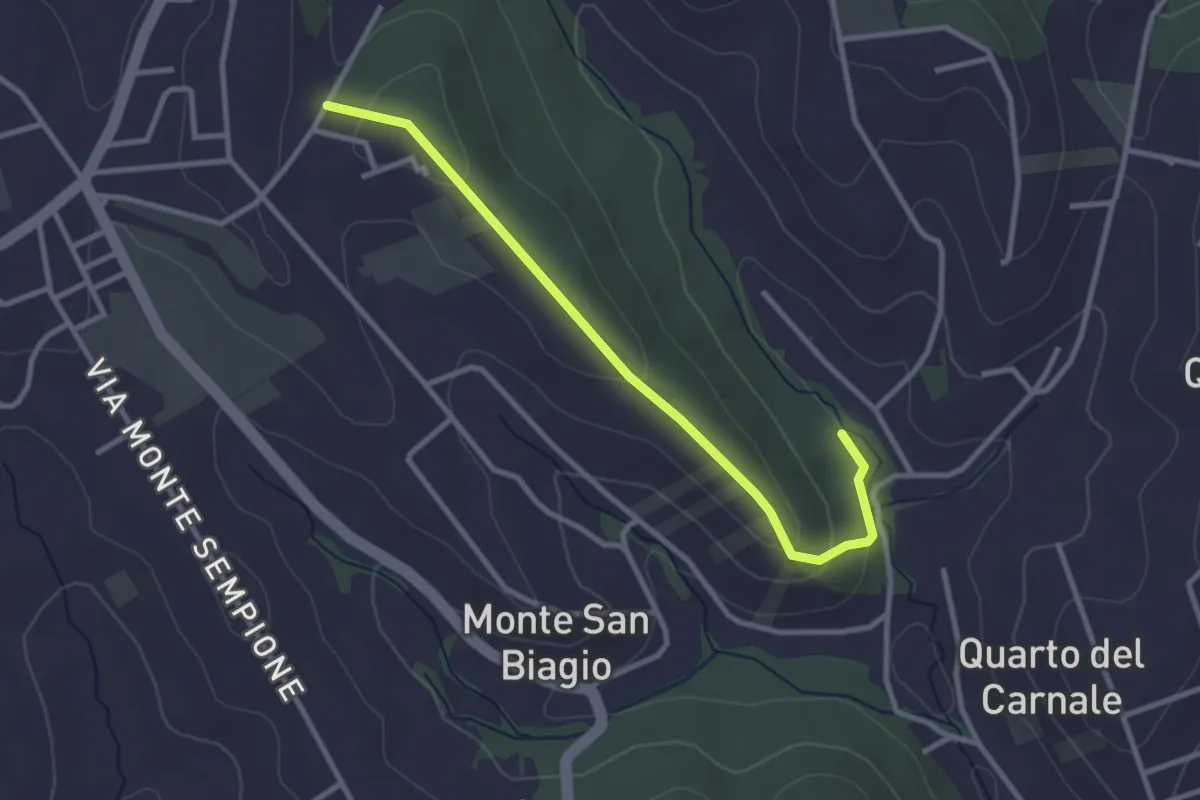
Easy · Trail
Via Alessandro Manzoni (Fontenuova) – Bivio sentiero anello 492
3.3 km · ↑ 82 m · 58 min · 6 km away
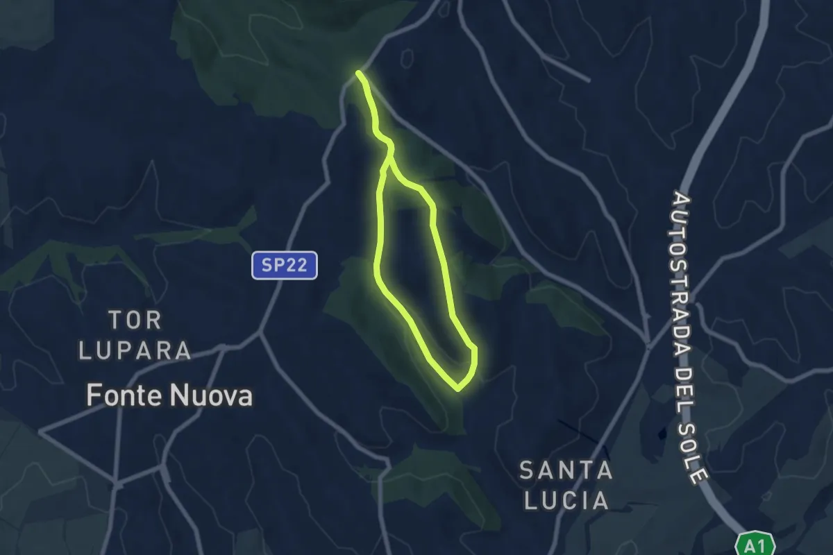
Easy · Trail
Via Nomentana di fronte Welcome Area – Via Nomentana di fronte Welcome Area
5.5 km · ↑ 130 m · 1 h 39 min · 6 km away
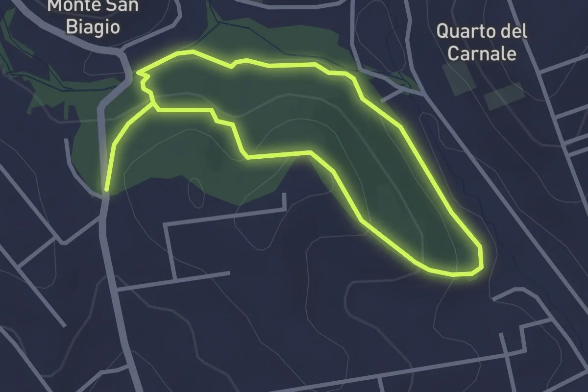
Easy · Trail
Via S. Lucia incrocio Via Lago di Scanno – Via S. Lucia incrocio Via Lago di Scanno
2.5 km · ↑ 71 m · 47 min · 7 km away
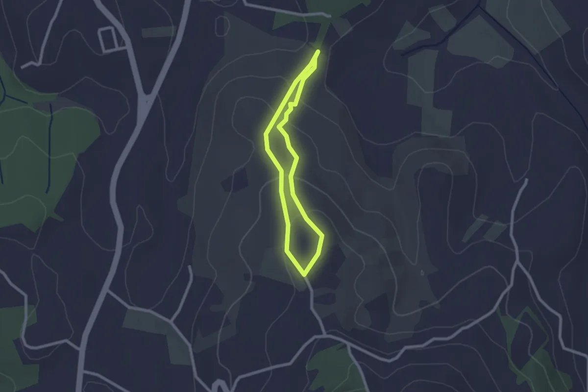
Easy · Trail
Sentiero Celeste
1.9 km · ↑ 91 m · 41 min · 7 km away
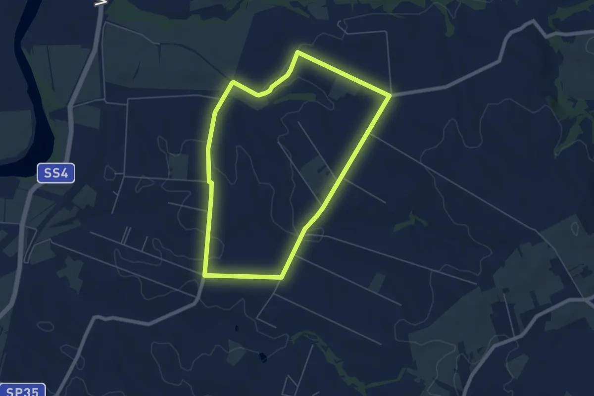
Easy · Trail
Percorso dei Cavalli Bianchi
5.8 km · ↑ 61 m · 1 h 35 min · 8 km away
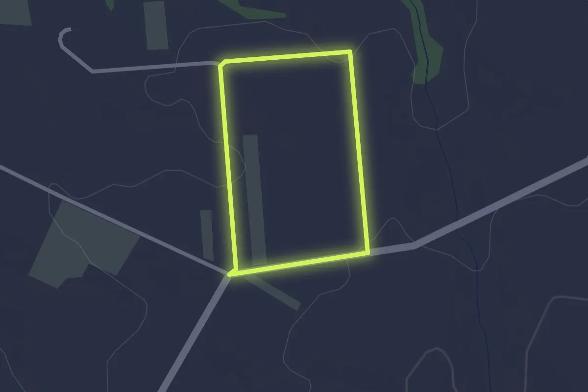
Easy · Trail
Percorso del Miele
1.8 km · ↑ 22 m · 30 min · 9 km away
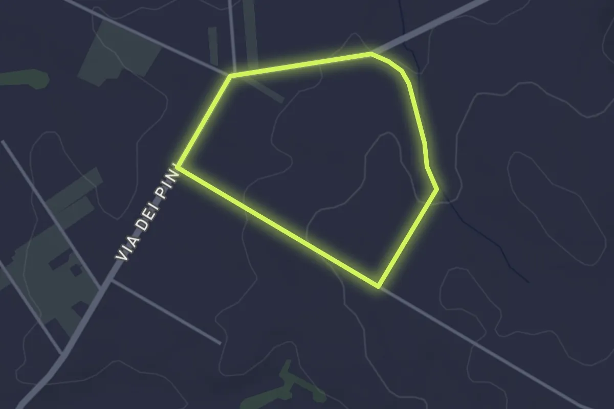
Easy · Trail
Percorso del Garibaldino
2.6 km · ↑ 47 m · 45 min · 10 km away
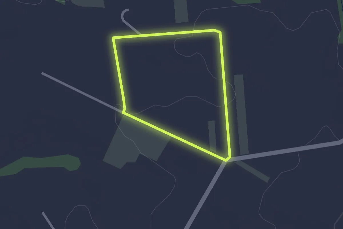
Easy · Trail
Percorso dei Salici
1.8 km · ↑ 23 m · 30 min · 10 km away
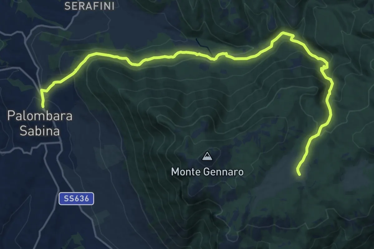
Expert · Cabin
Palombara S.-Pratone
20.0 km · ↑ 881 m · 6 h 38 min · 12 km away
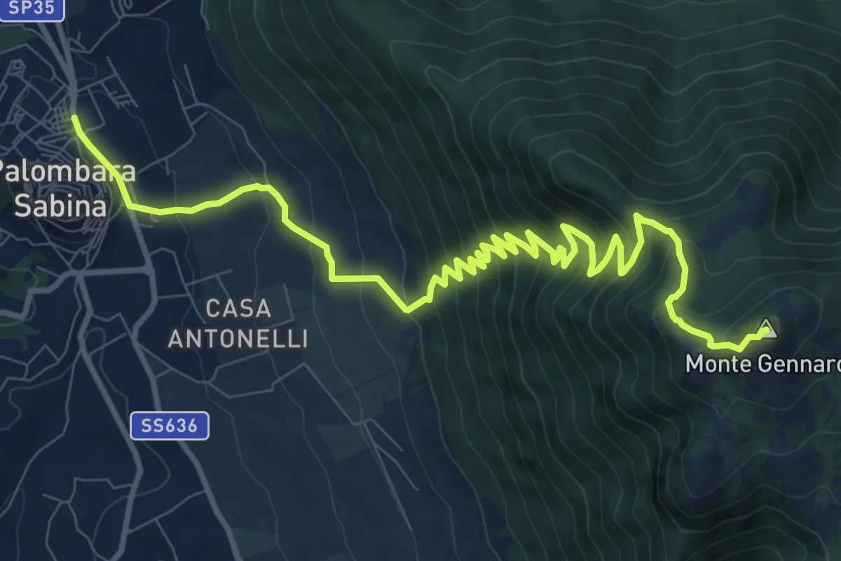
Demanding · Summit
Palombara-Monte Gennaro
13.5 km · ↑ 973 m · 5 h 17 min · 12 km away
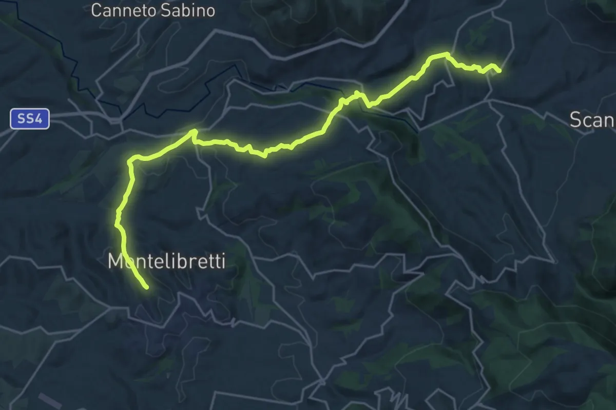
Demanding · Trail
PONTICELLI incrocio Via S. Maria del Colle - Via della Chiesa – MONTELIBRETTI incrocio Via Roma - Via Vignacce
24.1 km · ↑ 623 m · 7 h 3 min · 13 km away
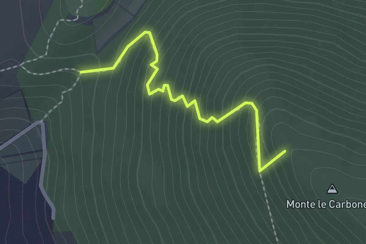
Easy · Summit
S. Nicola-Castiglione
2.1 km · ↑ 217 m · 58 min · 13 km away
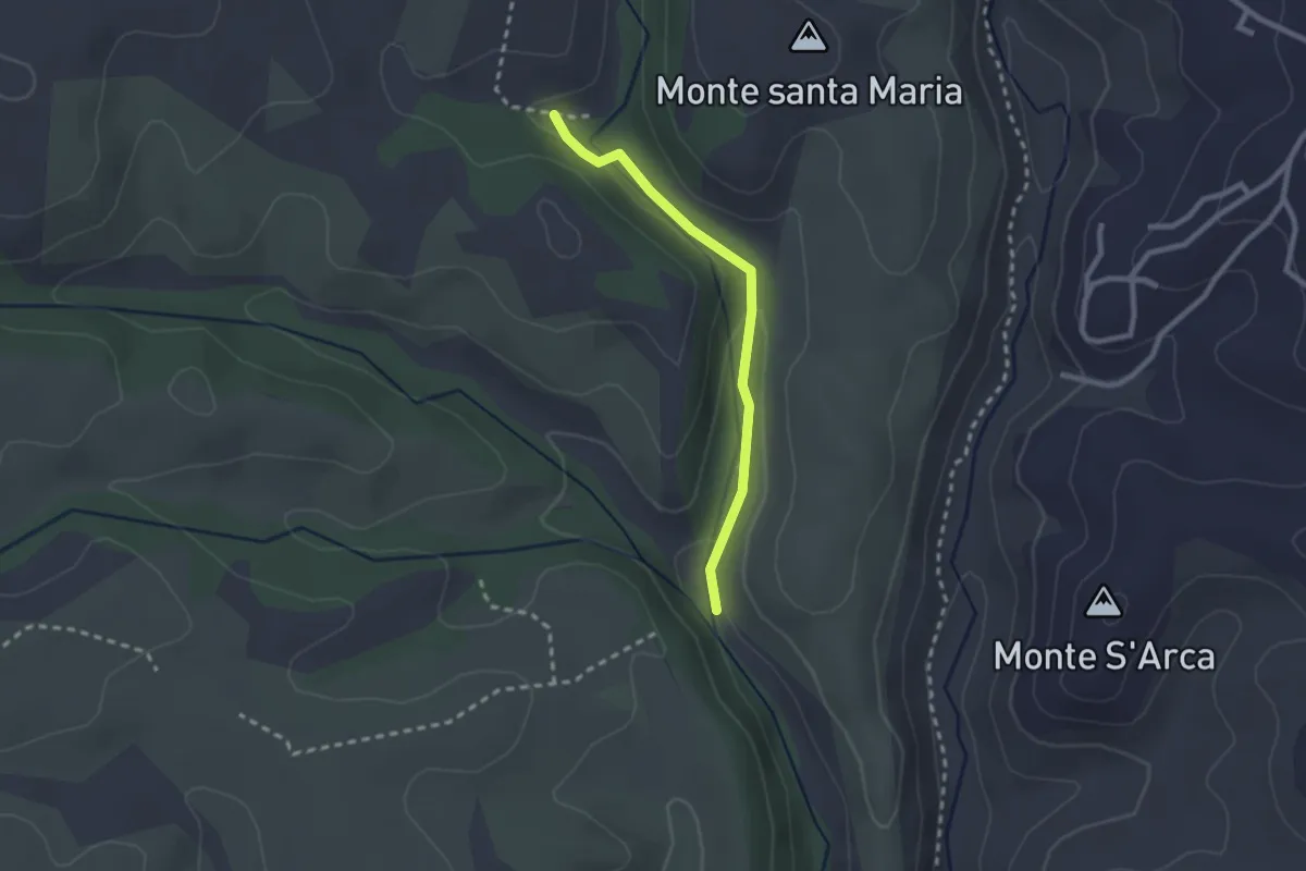
Easy · Trail
Percorso 210C – Percorso 210
2.3 km · ↑ 49 m · 39 min · 14 km away
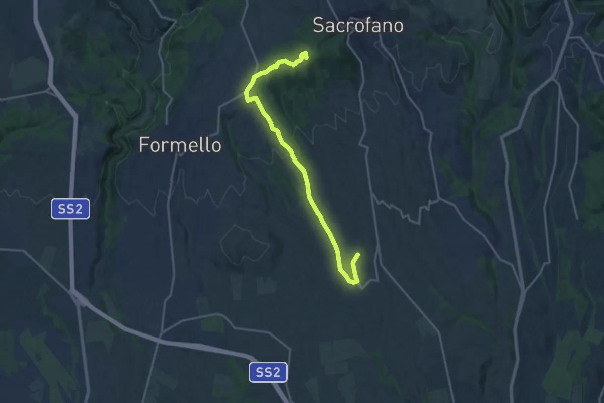
Medium · Summit
Sacrofano-Pacifico
14.7 km · ↑ 308 m · 4 h 8 min · 14 km away
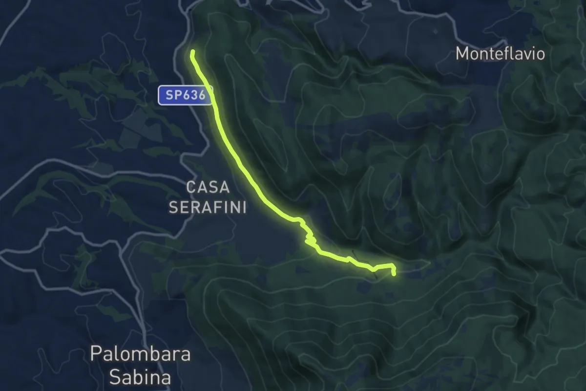
Demanding · Trail
Torretta-Molino Casoli
10.5 km · ↑ 206 m · 2 h 55 min · 14 km away
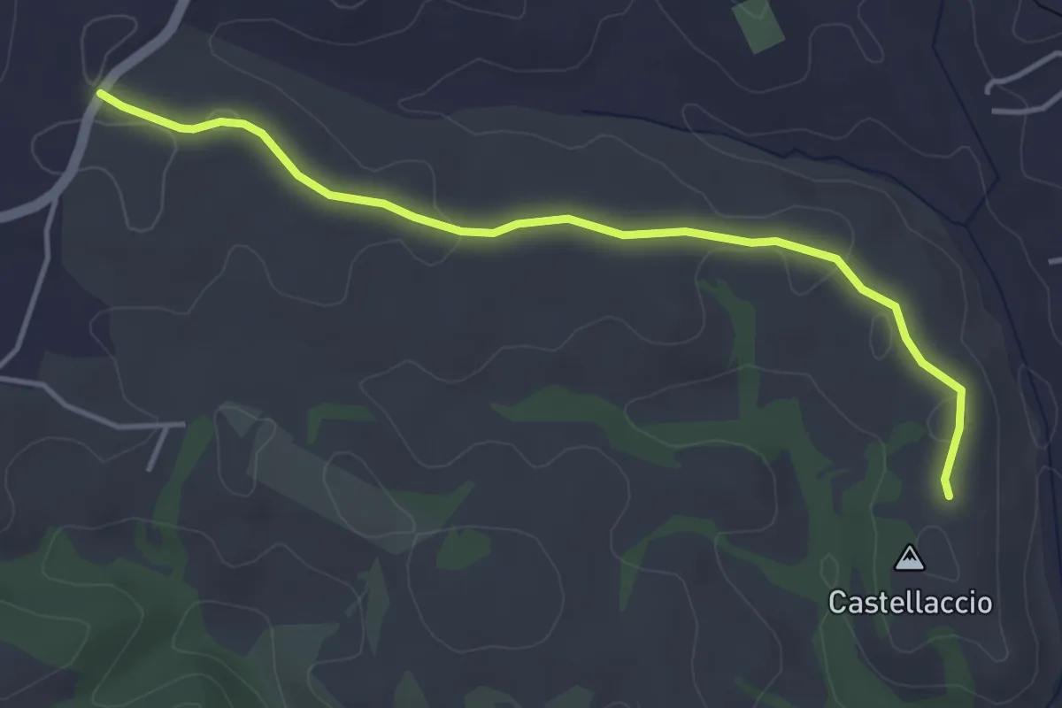
Easy · Trail
Via Campagnanese – Castellaccio
4.5 km · ↑ 50 m · 1 h 10 min · 14 km away
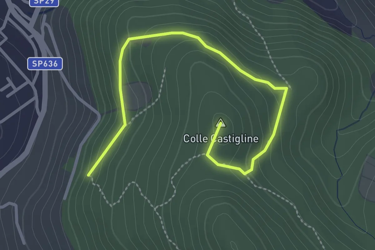
Easy · Summit
Terre Bianche-Castiglione
3.3 km · ↑ 123 m · 1 h 2 min · 15 km away
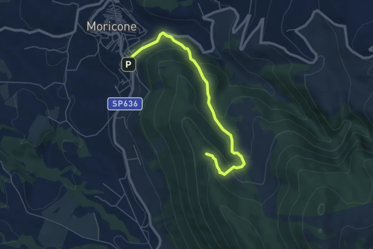
Easy · Trail
Moricone – Le Pianate
5.9 km · ↑ 301 m · 2 h 2 min · 15 km away
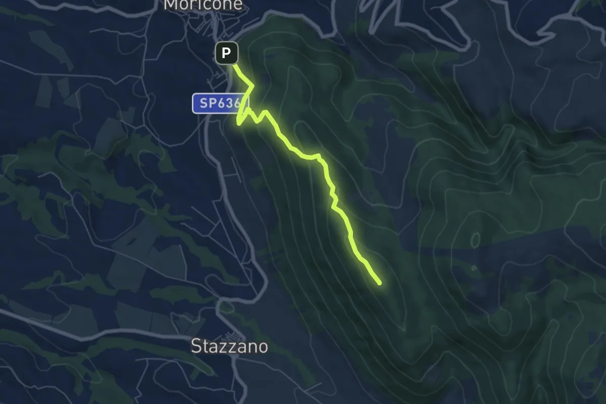
Medium · Summit
Moricone – Monte Matano
5.9 km · ↑ 358 m · 2 h 10 min · 15 km away
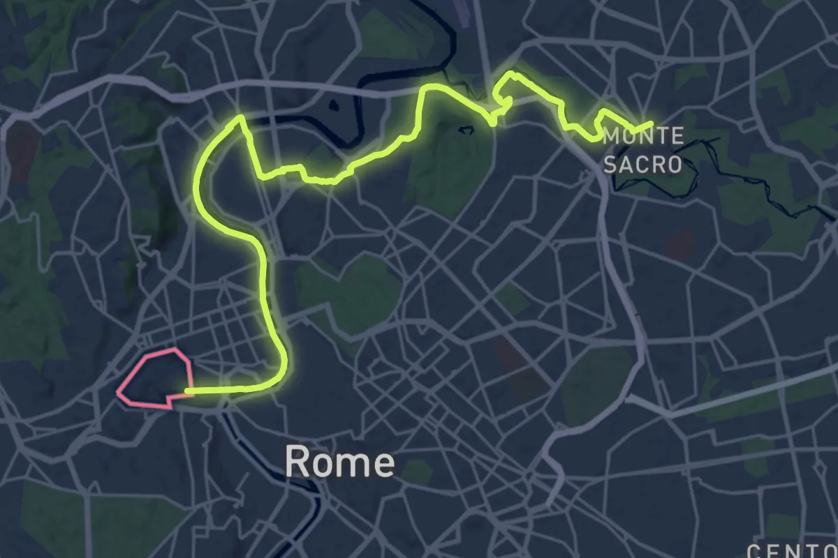
Demanding · Trail
Via di Francesco - Tappa 22
30.5 km · ↑ 202 m · 7 h 39 min · 15 km away
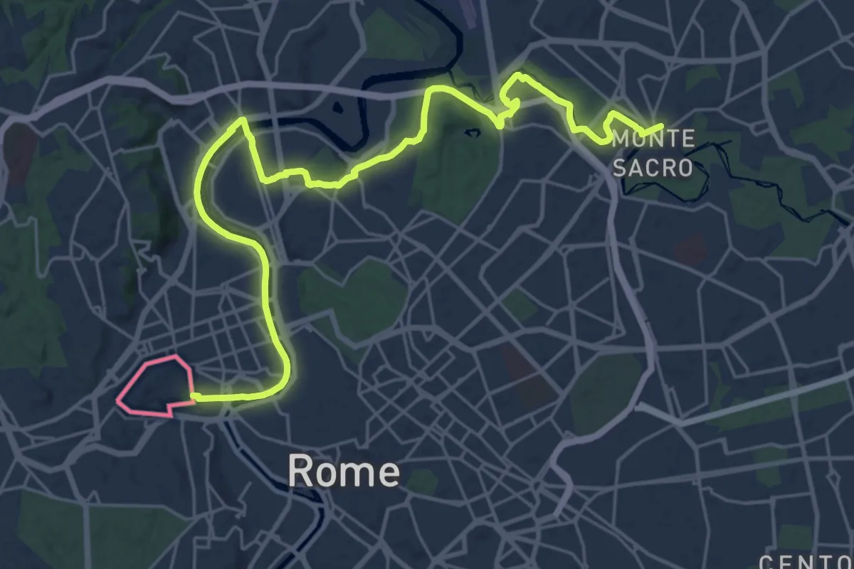
Demanding · Trail
Via di Francesco/Via del SUD - Tappa 1
30.5 km · ↑ 202 m · 7 h 38 min · 15 km away
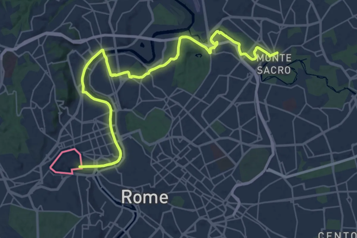
Demanding · Trail
686 Via di Francesco Tappa 22
31.0 km · ↑ 233 m · 7 h 50 min · 15 km away
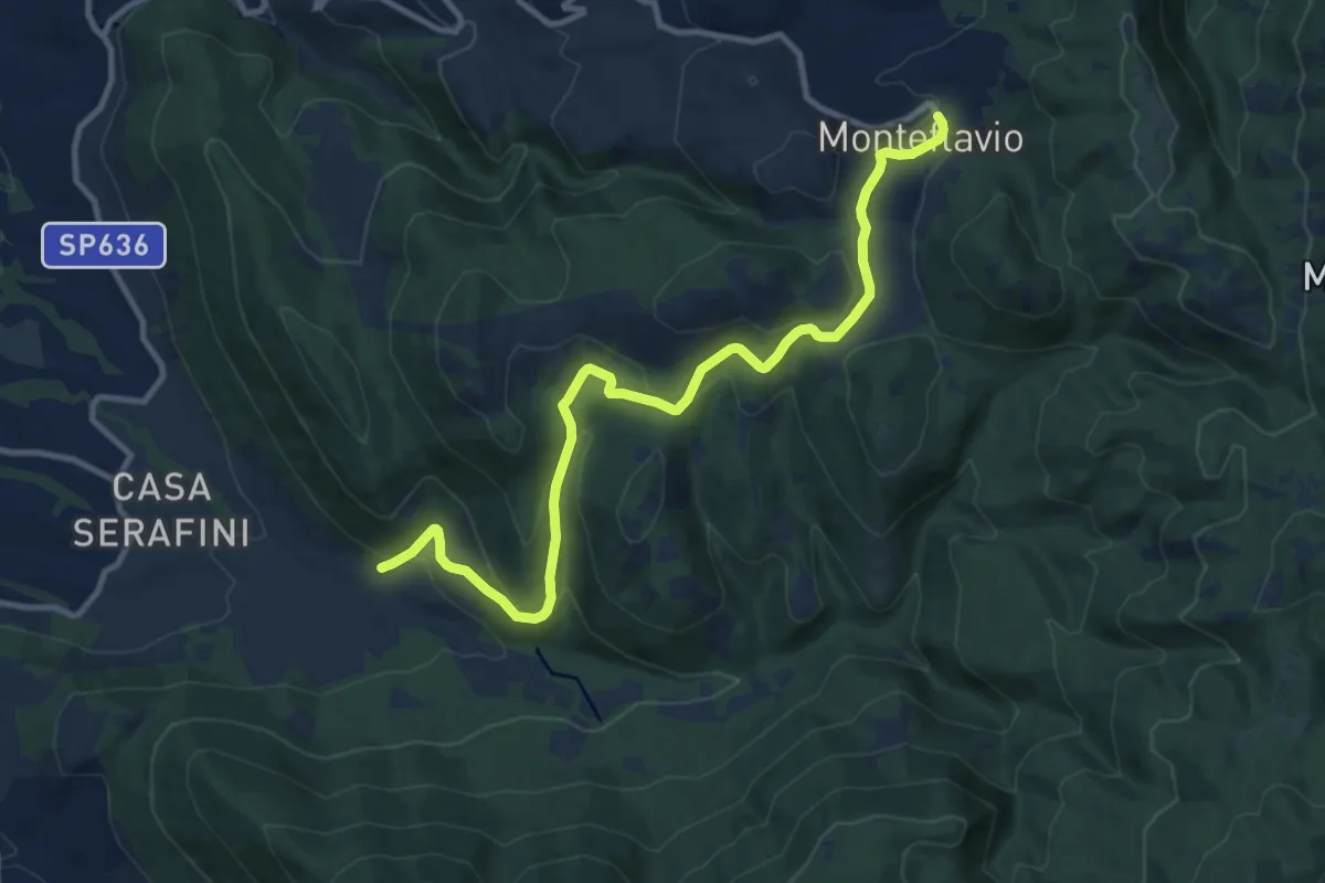
Medium · Trail
Fontanili – Monteflavio
12.6 km · ↑ 499 m · 4 h 3 min · 15 km away