Trails near Montevarchi
72 hikes starting within 15 km, nearest first.
Nearest first, page 2 of 2
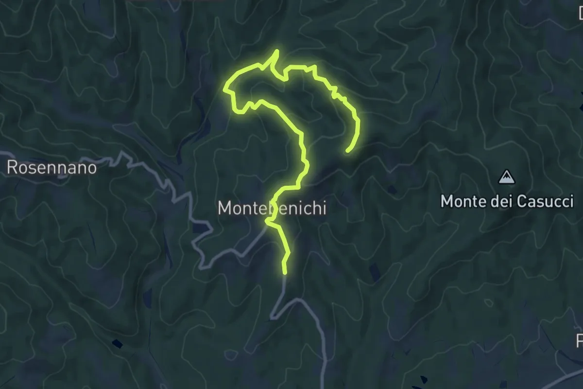
Medium · Trail
Verso la sorgente
10.5 km · ↑ 447 m · 3 h 27 min · 13 km away
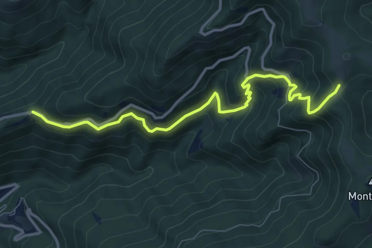
Medium · Trail
Trappola – sent. 00
8.3 km · ↑ 696 m · 3 h 28 min · 13 km away
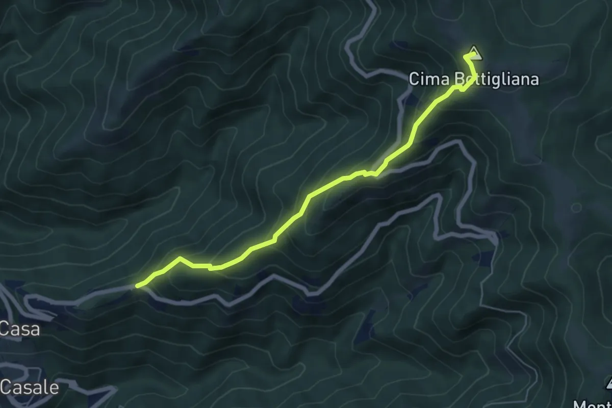
Medium · Summit
Trappola – Sentiero 00 Bottigliana
5.9 km · ↑ 571 m · 2 h 38 min · 13 km away
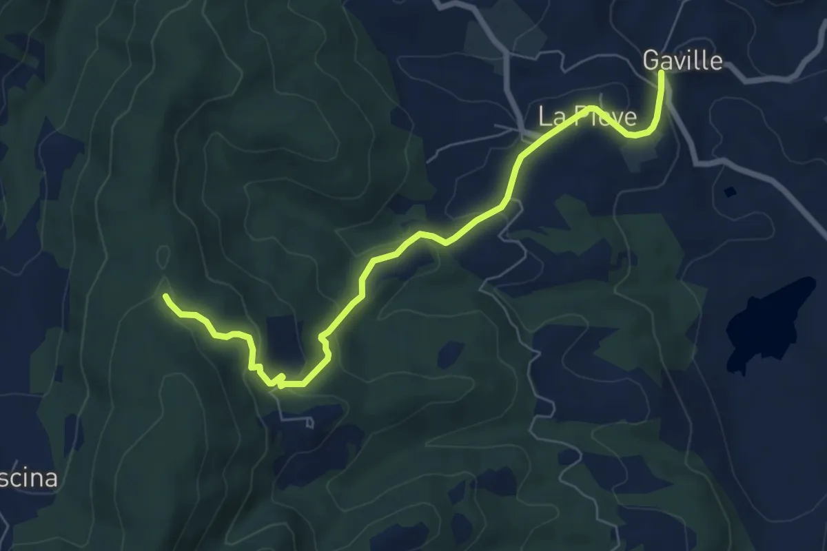
Easy · Trail
Gaville – sent. 9
7.4 km · ↑ 307 m · 2 h 24 min · 13 km away
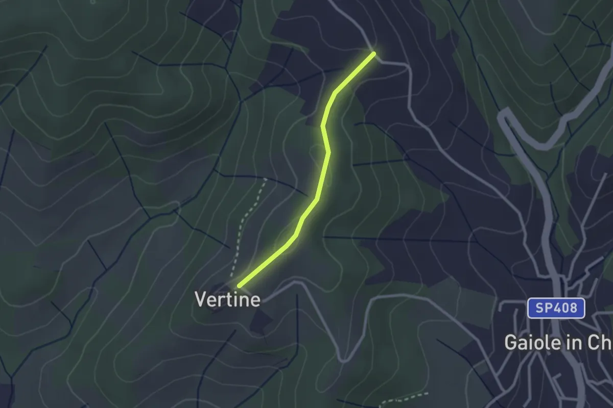
Easy · Trail
Trekking tra i castelli 5B
2.1 km · ↑ 70 m · 39 min · 13 km away
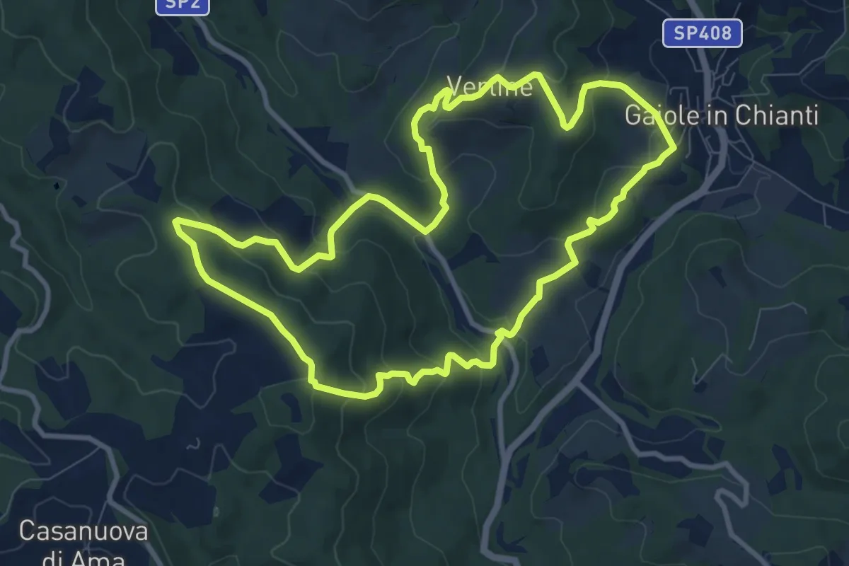
Medium · Trail
Trekking tra i castelli 4
9.4 km · ↑ 428 m · 3 h 17 min · 13 km away
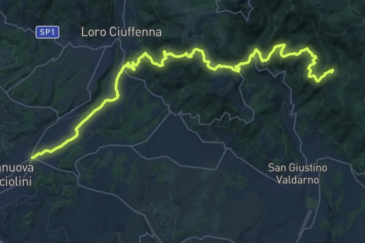
Medium · Trail
Terranuova Bracciolini – Percorso 900 (Fonte Archese)
17.0 km · ↑ 419 m · 5 h 31 min · 14 km away
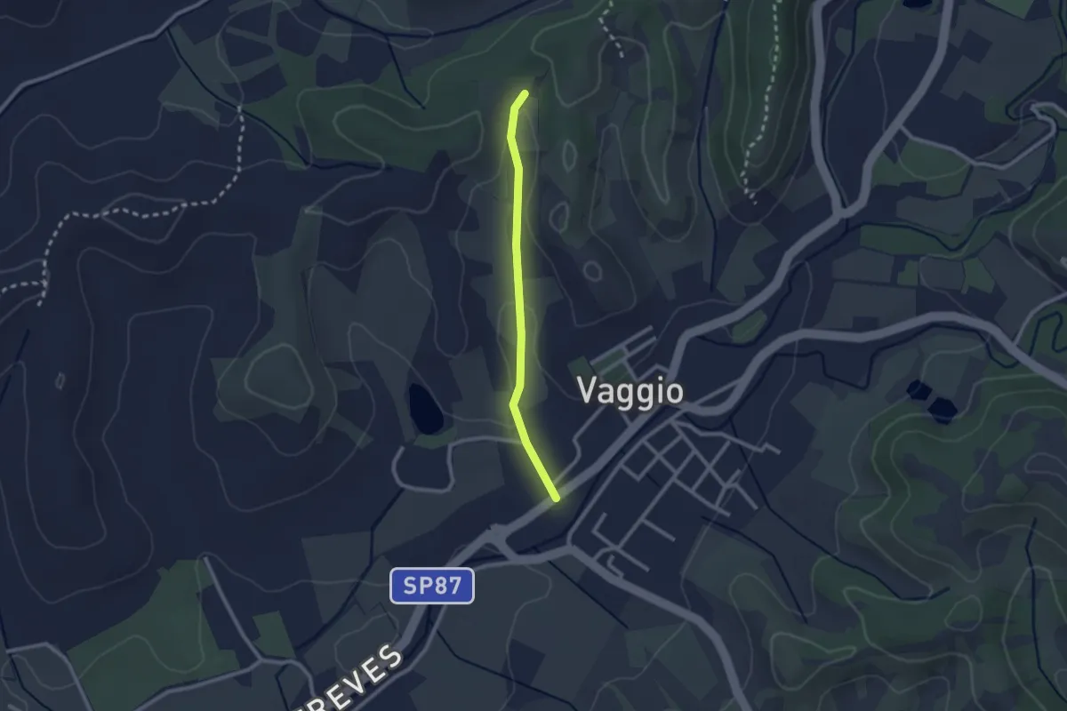
Easy · Trail
Vaggio – Itinerario R25
2.1 km · ↑ 42 m · 36 min · 14 km away
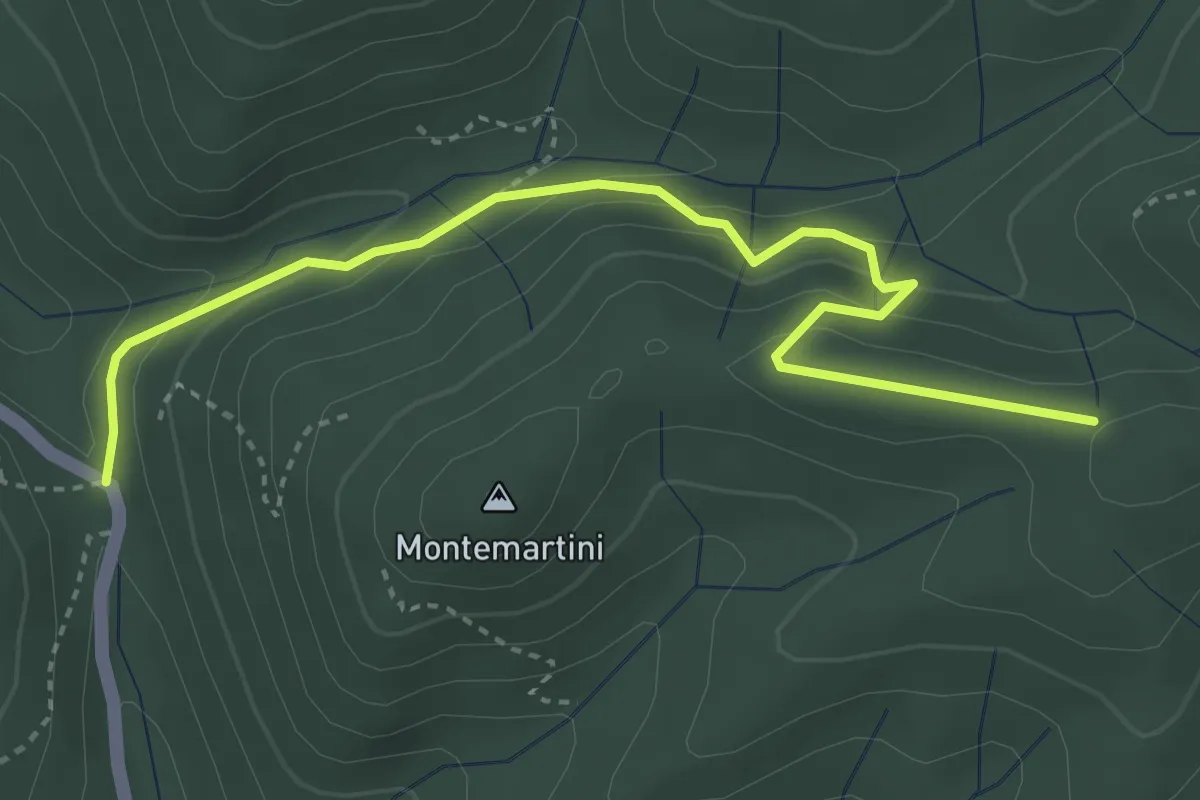
Easy · Trail
Trekking tra i castelli 8B
4.2 km · ↑ 252 m · 1 h 33 min · 14 km away
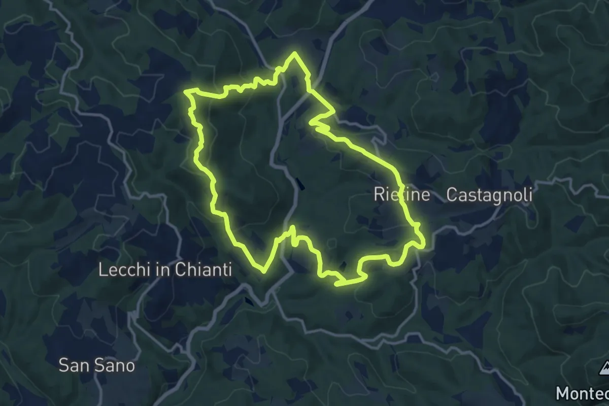
Medium · Trail
Trekking tra i castelli 9
13.0 km · ↑ 511 m · 4 h 21 min · 14 km away
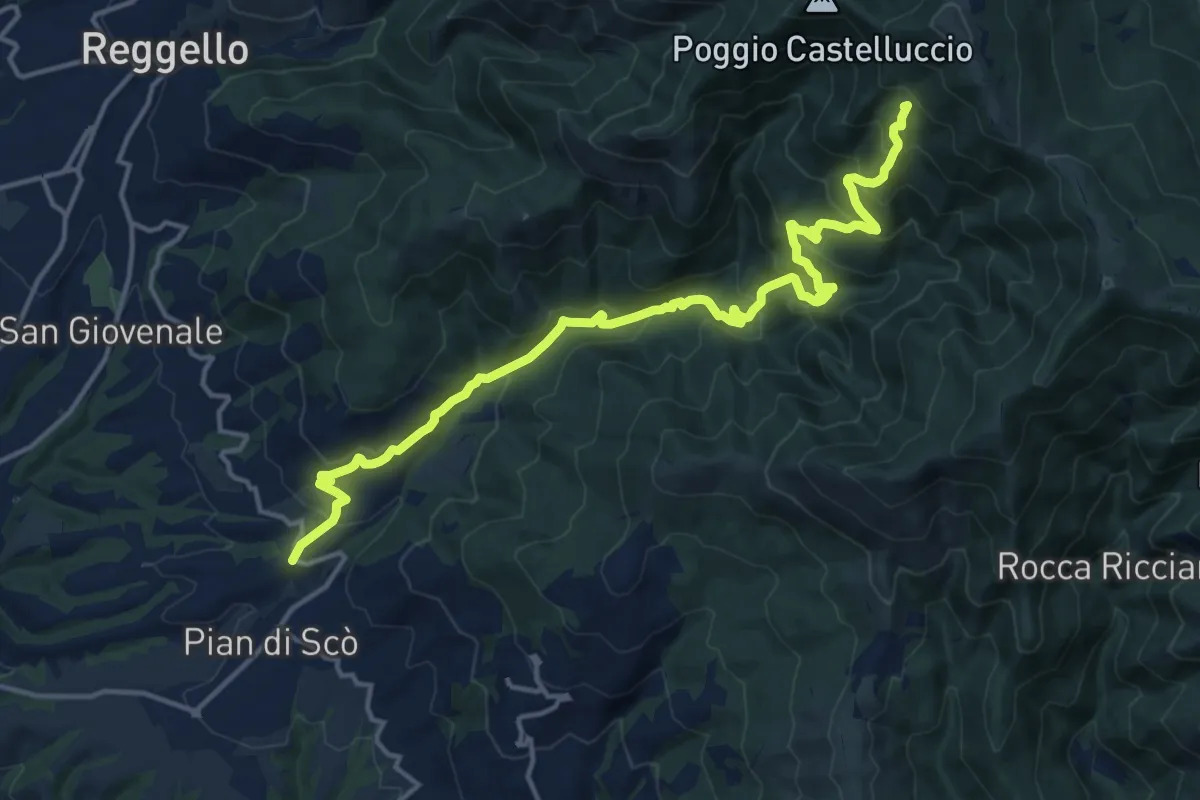
Demanding · Summit
sent.33 La Canova – varco di Gastra
18.3 km · ↑ 1066 m · 6 h 38 min · 14 km away
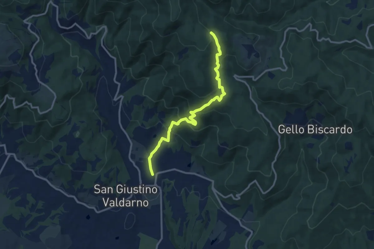
Medium · Trail
San Giustino Valdarno – Sentiero 00
9.2 km · ↑ 542 m · 3 h 21 min · 14 km away
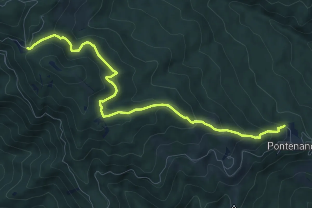
Medium · Trail
Pontenano – Sentiero 900 presso Abetina dei Bardi
9.6 km · ↑ 540 m · 3 h 26 min · 14 km away
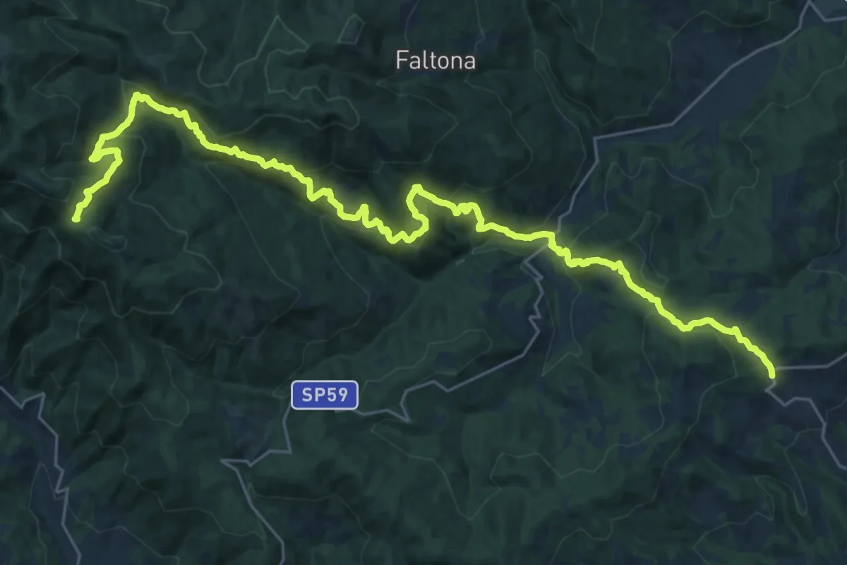
Medium · Trail
Innesto sentiero 900 presso Migliarino – innesto sentiero 900 presso Abetina dei Bardi
17.1 km · ↑ 611 m · 5 h 55 min · 14 km away
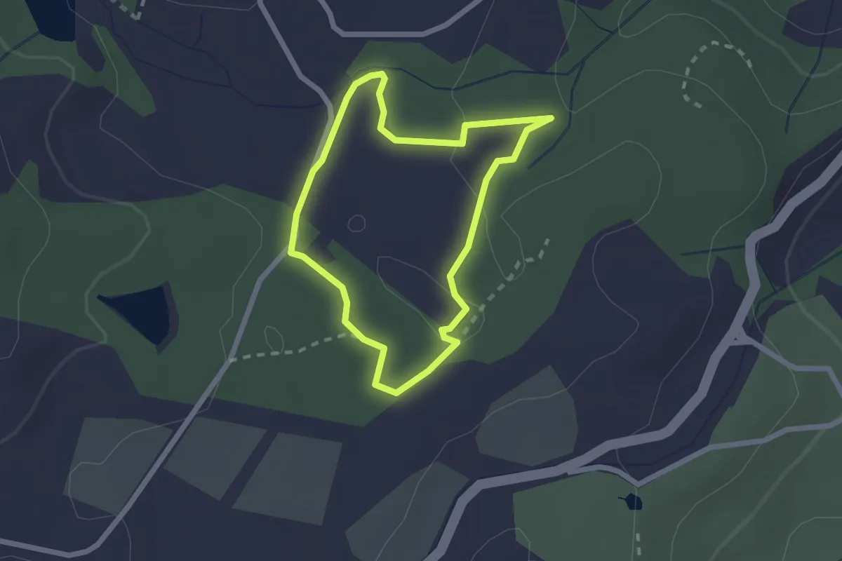
Easy · Trail
Sentiero della Granchia
1.9 km · ↑ 25 m · 32 min · 14 km away
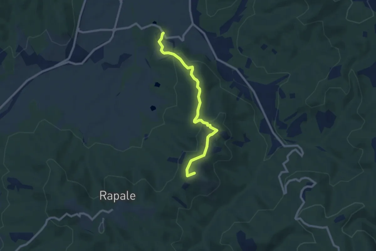
Easy · Summit
Tra sacro e profano
6.5 km · ↑ 203 m · 1 h 58 min · 14 km away
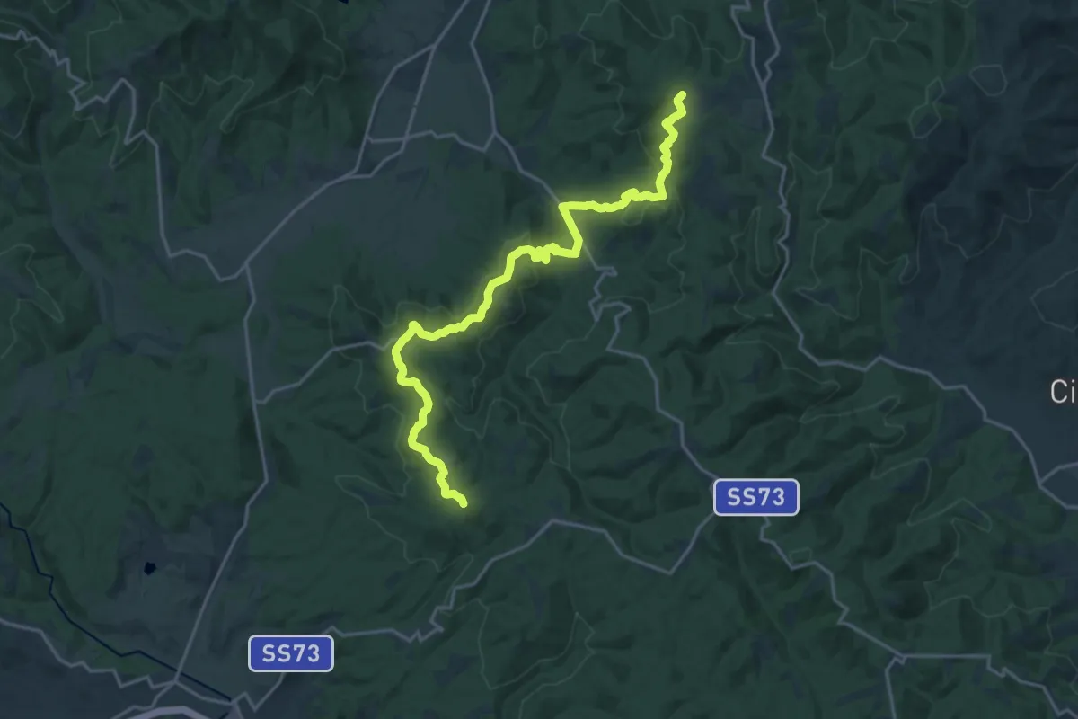
Demanding · Summit
Sentiero 103 presso podere Oppiarino – SS 73 km108 presso "La Commenda"
21.8 km · ↑ 675 m · 6 h 36 min · 15 km away
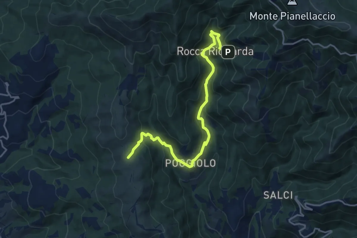
Medium · Trail
Sentiero 21,ex mulino rocca ricciarda – Sentiero 35 crinale di cocollo
12.8 km · ↑ 633 m · 4 h 24 min · 15 km away
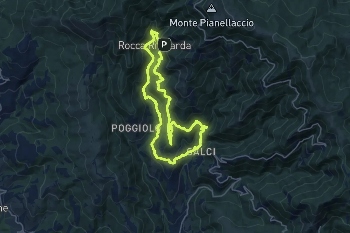
Medium · Trail
Via del Castagno
13.1 km · ↑ 750 m · 4 h 54 min · 15 km away
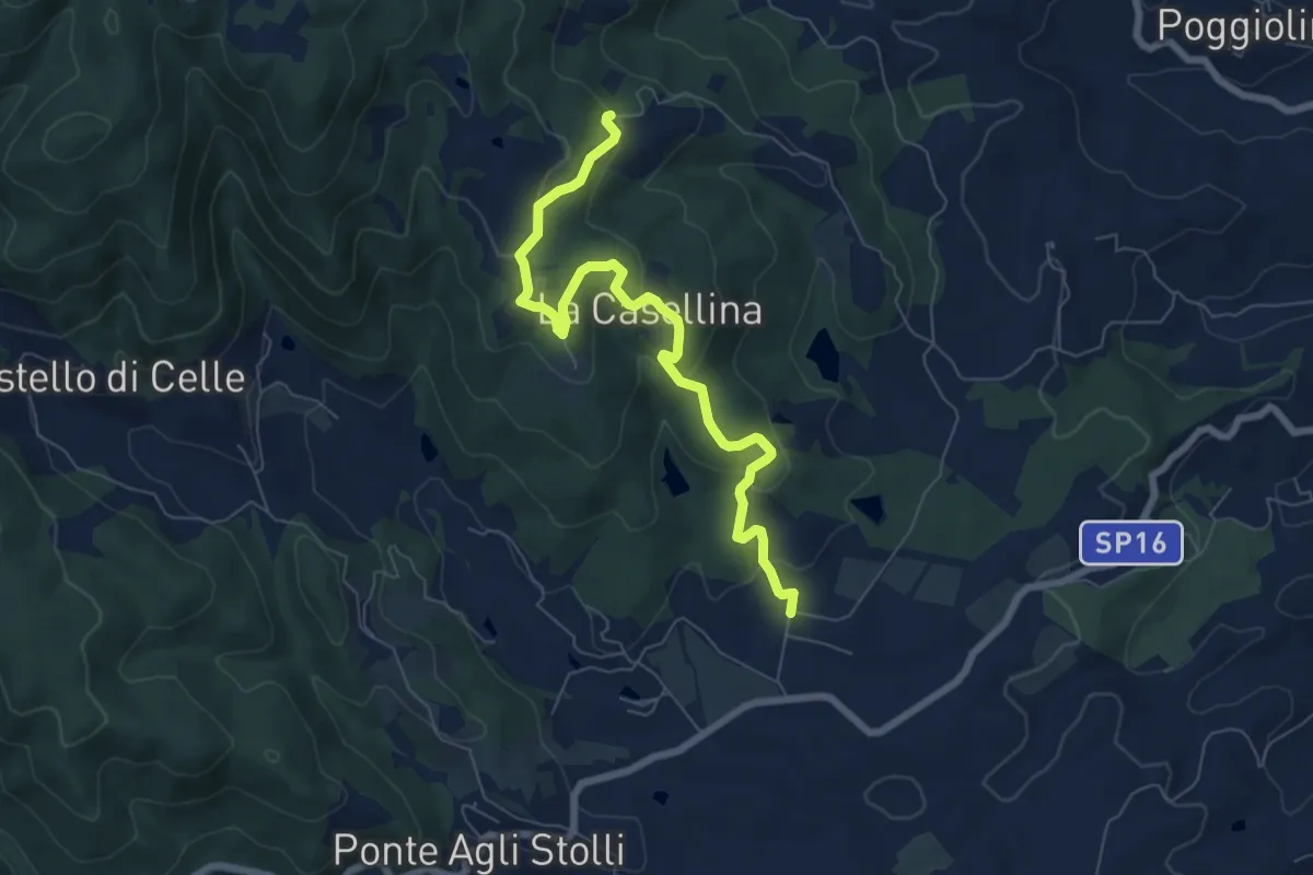
Easy · Trail
Via Santa Lucia
7.8 km · ↑ 280 m · 2 h 27 min · 15 km away
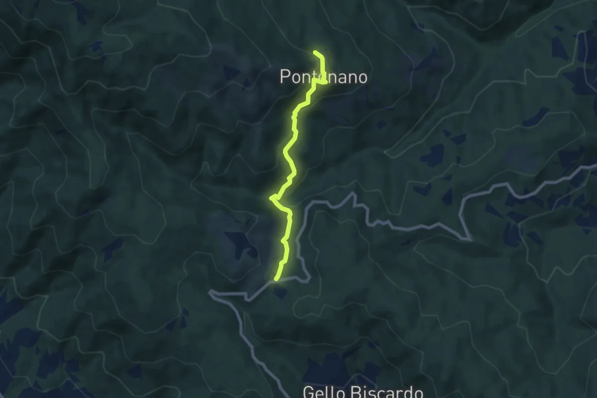
Easy · Trail
Pontenano – Sentiero 00 presso Passo della Crocina
6.1 km · ↑ 290 m · 2 h 4 min · 15 km away
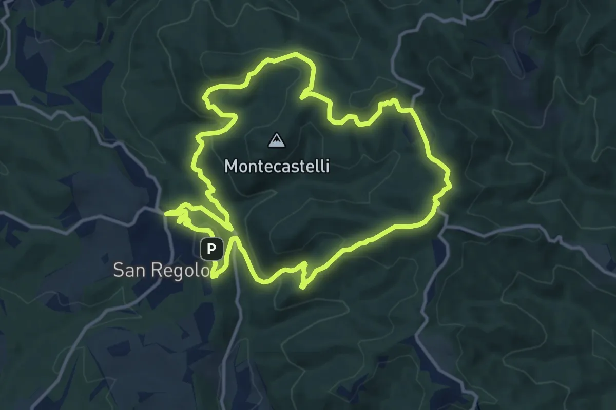
Medium · Trail
Trekking tra i castelli 8
11.2 km · ↑ 416 m · 3 h 42 min · 15 km away
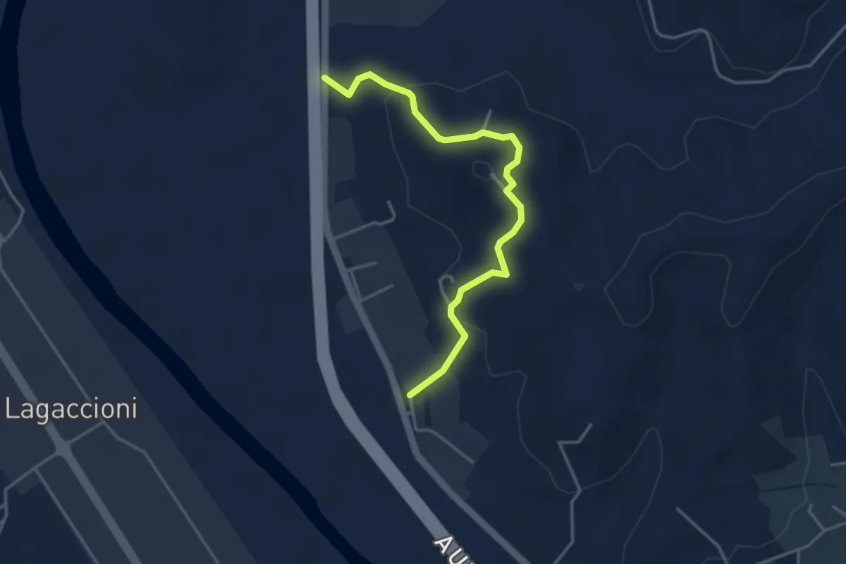
Easy · Trail
Prulli – itinerario R25
3.9 km · ↑ 131 m · 1 h 12 min · 15 km away
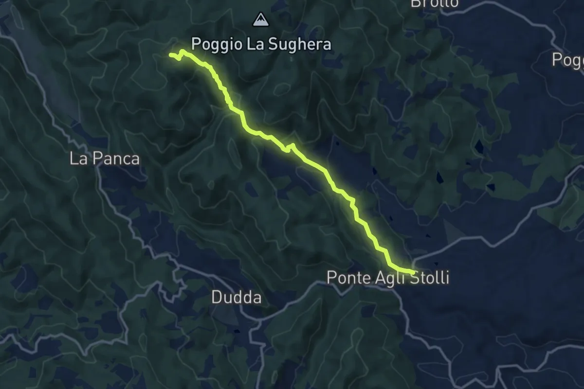
Medium · Trail
Ponte agli Stolli – Monte Scalari
11.6 km · ↑ 495 m · 3 h 49 min · 15 km away