Trails near Montorio al Vomano
42 hikes starting within 15 km, nearest first.
Nearest first
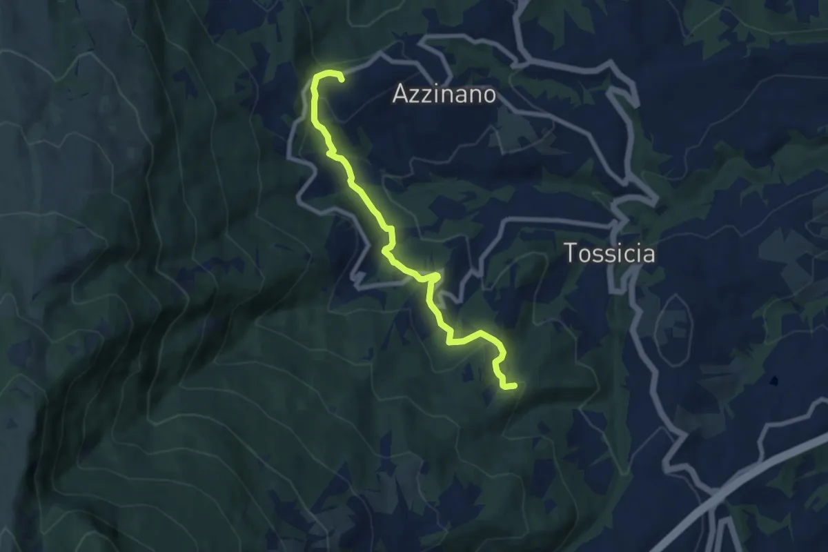
Easy · Trail
Acquilano – Colle Provvido. bivio 206
7.4 km · ↑ 262 m · 2 h 19 min · 3 km away
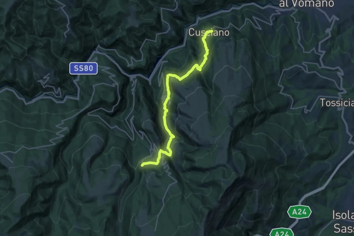
Demanding · Trail
Cusciano - Cerqueto - Pietracamela
17.7 km · ↑ 1024 m · 6 h 24 min · 4 km away
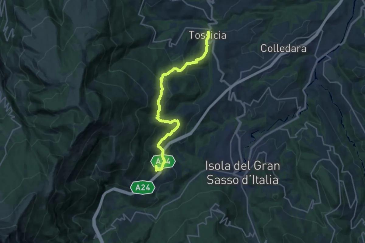
Demanding · Trail
Tossicia - Cerchiara
15.1 km · ↑ 852 m · 5 h 25 min · 4 km away
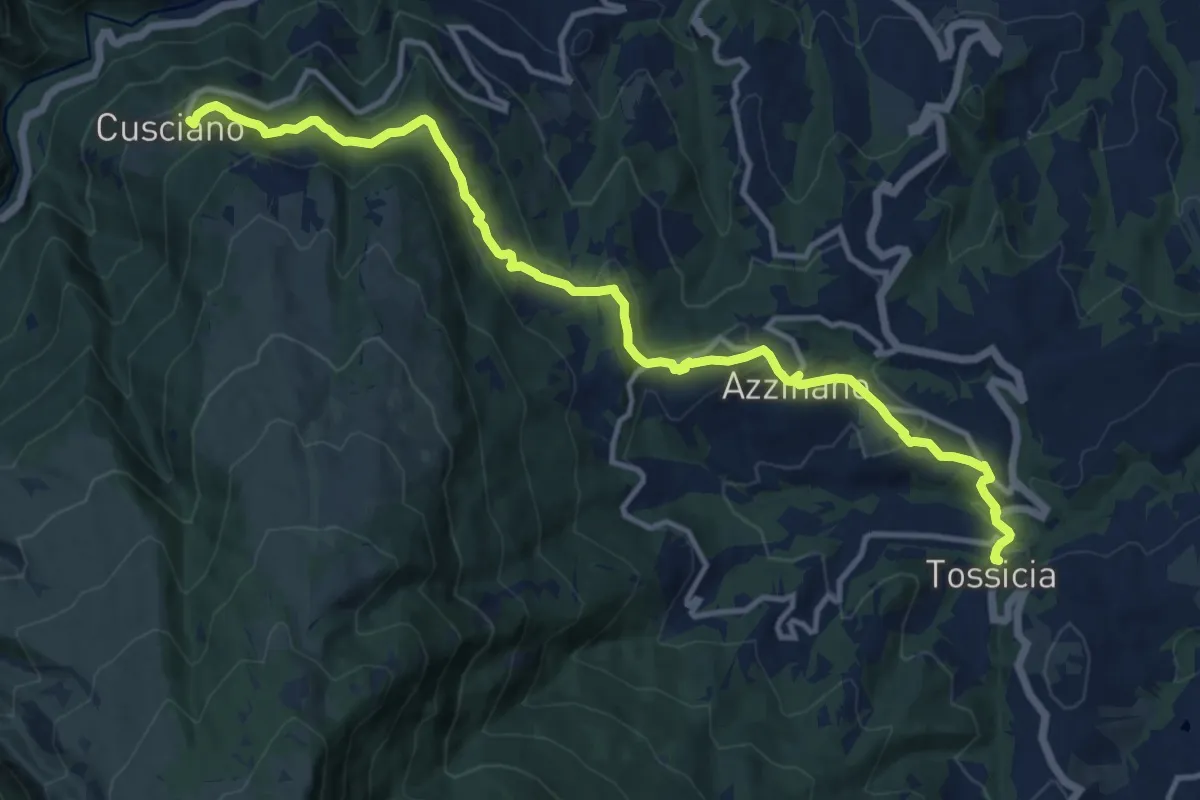
Medium · Trail
Tossicia - Cusciano
14.9 km · ↑ 640 m · 4 h 54 min · 4 km away
Demanding · Summit
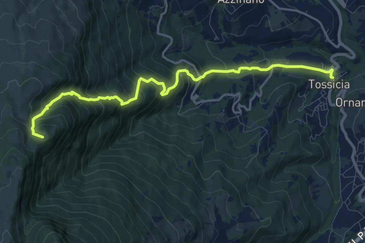
Tossicia - Colle Cennone
11.5 km · ↑ 960 m · 4 h 48 min · 4 km away
Demanding · Trail
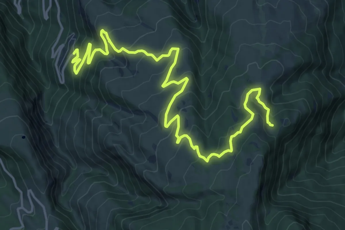
Cerqueto - Cima Sportella
16.4 km · ↑ 842 m · 5 h 42 min · 7 km away
Medium · Summit
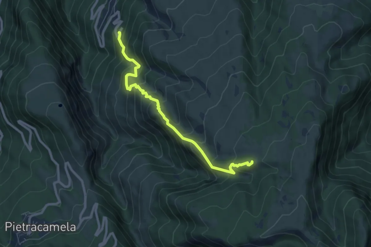
Cerqueto – Prati Mignari
6.6 km · ↑ 682 m · 3 h 3 min · 7 km away
Easy · Summit
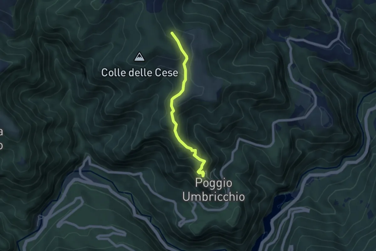
Poggio Umbricchio – San Giorgio
4.5 km · ↑ 224 m · 1 h 33 min · 7 km away
Expert · Trail
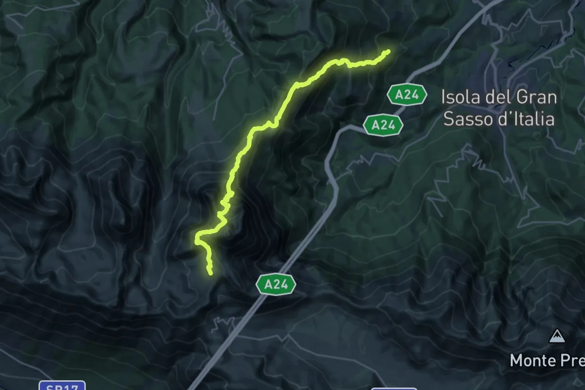
Forca di Valle – Campo Imperatore
12.5 km · ↑ 1913 m · 6 h 34 min · 7 km away
Demanding · Trail
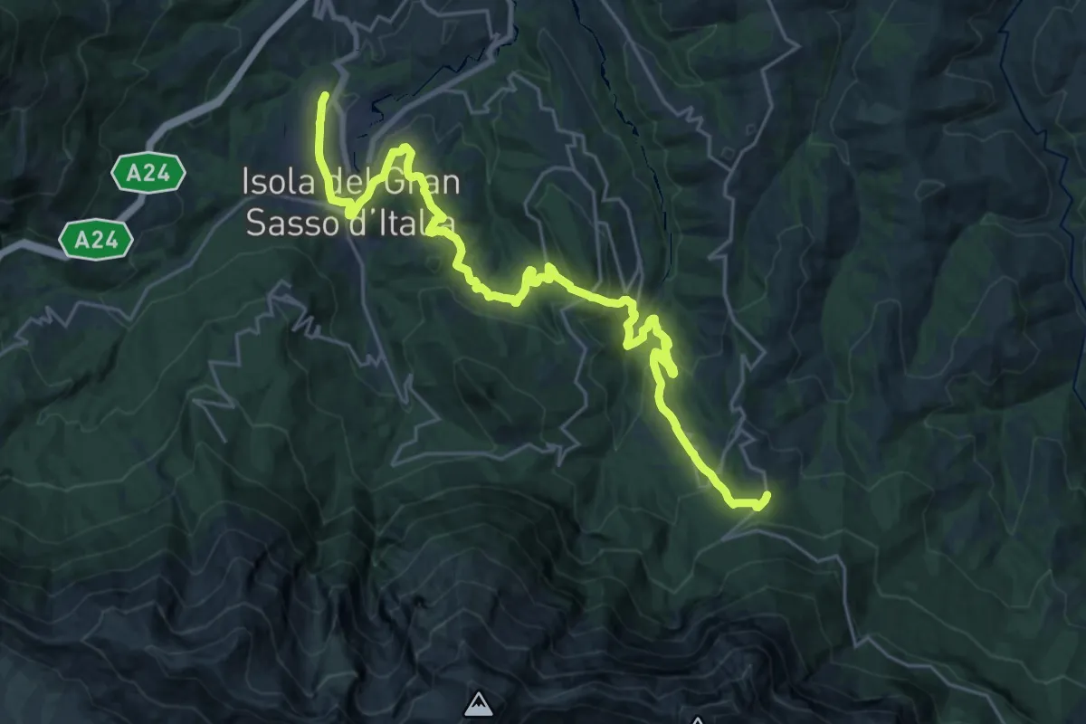
Il Cammino d'Abruzzo: Tappa 9
14.6 km · ↑ 870 m · 5 h 17 min · 8 km away
Demanding · Trail
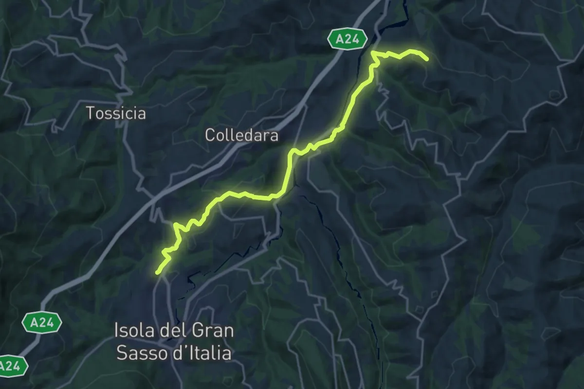
Il Cammino d'Abruzzo: Tappa 8B
18.9 km · ↑ 494 m · 5 h 32 min · 8 km away
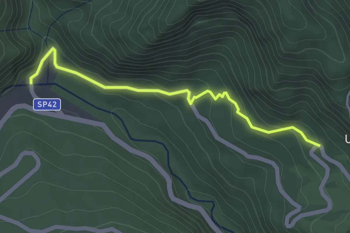
Easy · Trail
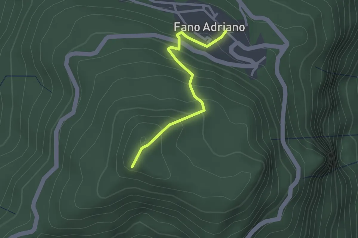
Fano Adriano – Eremo dell'Annunziata
2.3 km · ↑ 202 m · 59 min · 8 km away
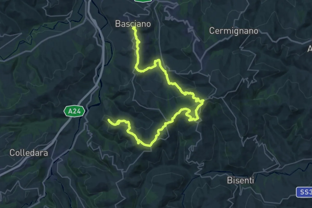
Easy · Trail
Senarica – Poggio Umbricchio
3.7 km · ↑ 206 m · 1 h 19 min · 9 km away
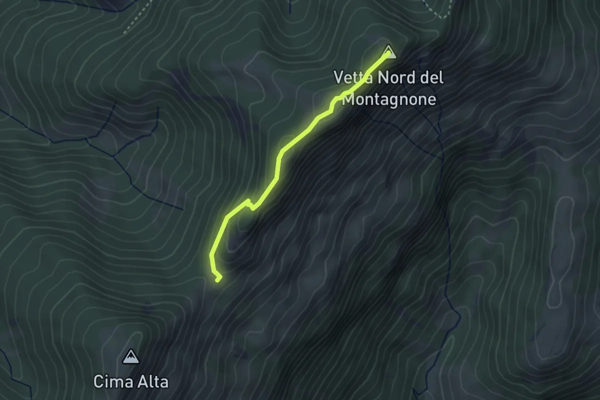
Medium · Trail
Il Cammino d'Abruzzo: Tappa 8A
16.3 km · ↑ 730 m · 5 h 37 min · 9 km away
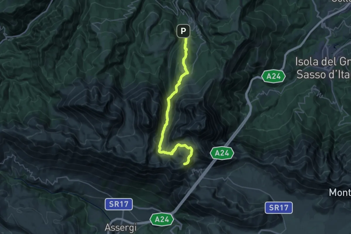
Easy · Summit
La Forchetta - Colle Pelato
2.9 km · ↑ 132 m · 58 min · 9 km away
Demanding · Summit
Rifugio Duca Degli Abruzzi – Pietracamela
25.0 km · ↑ 1663 m · 9 h 30 min · 9 km away
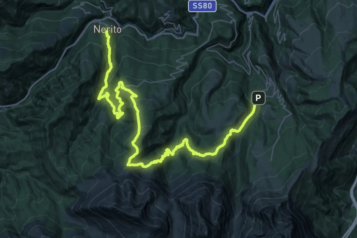
Demanding · Trail
Pietracamela – Nerito
20.8 km · ↑ 1241 m · 8 h · 9 km away
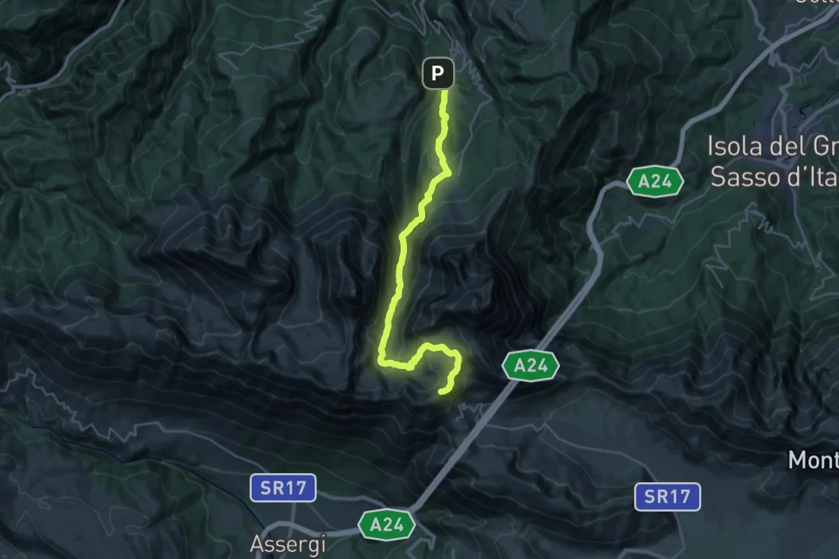
Demanding · Summit
SICAI Ciclo
24.7 km · ↑ 1649 m · 9 h 24 min · 9 km away
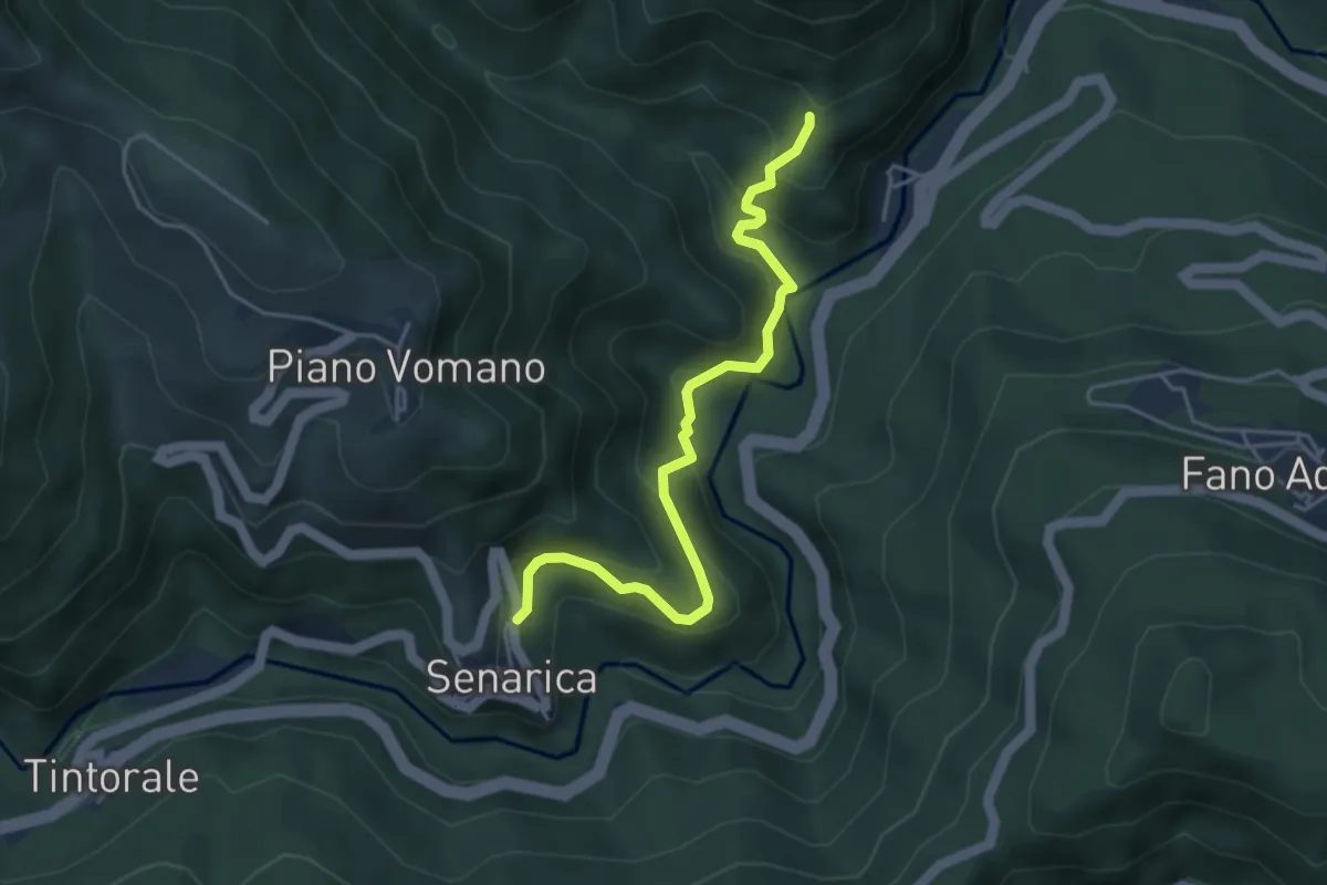
Easy · Trail
Macchia Vomano – Senarica
4.6 km · ↑ 318 m · 1 h 47 min · 9 km away
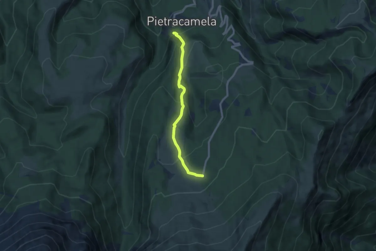
Medium · Cabin
Pietracamela – Prati di Tivo
6.1 km · ↑ 368 m · 2 h 14 min · 9 km away
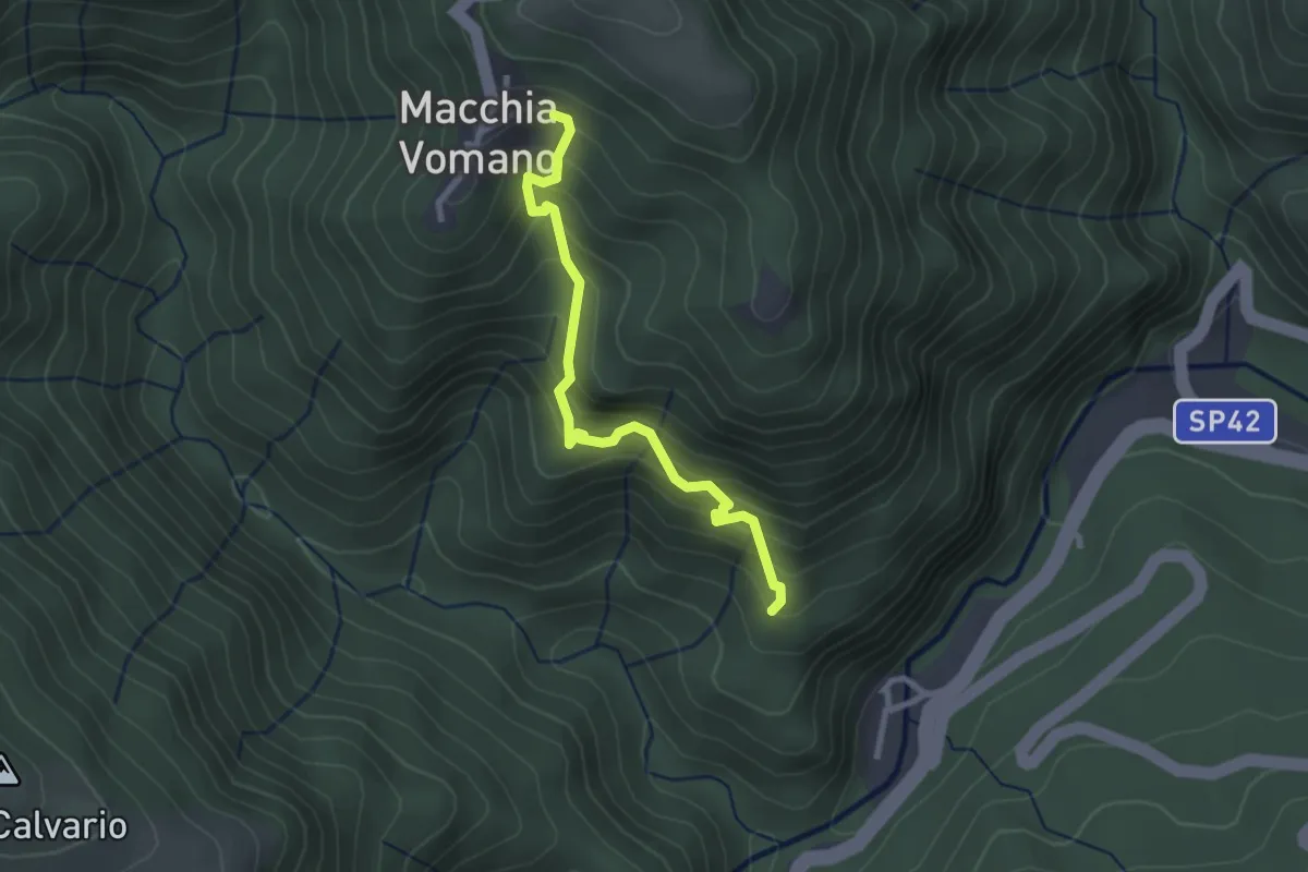
Medium · Trail
Macchia Vomano – Senarica
2.8 km · ↑ 347 m · 1 h 25 min · 9 km away
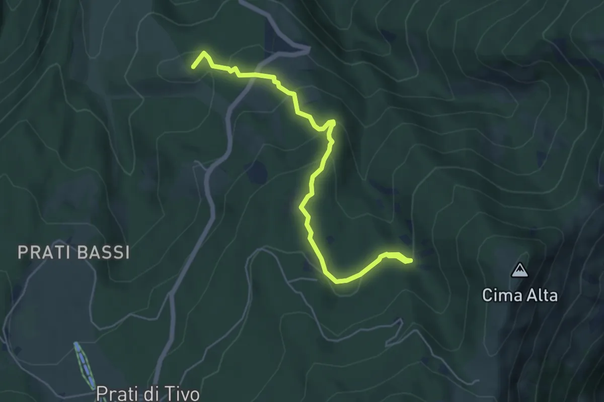
Easy · Summit
Pietracamela – Camping dei Prati di Tivo
5.5 km · ↑ 274 m · 1 h 53 min · 10 km away
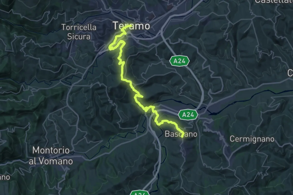
Medium · Trail
Il Cammino d'Abruzzo: Tappa 7
16.7 km · ↑ 650 m · 5 h 32 min · 10 km away
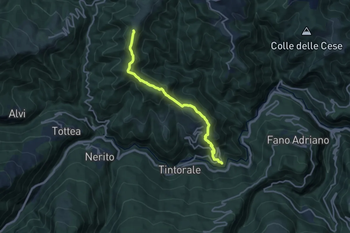
Medium · Summit
da Senarica a Piano Roseto
10.3 km · ↑ 589 m · 3 h 42 min · 10 km away
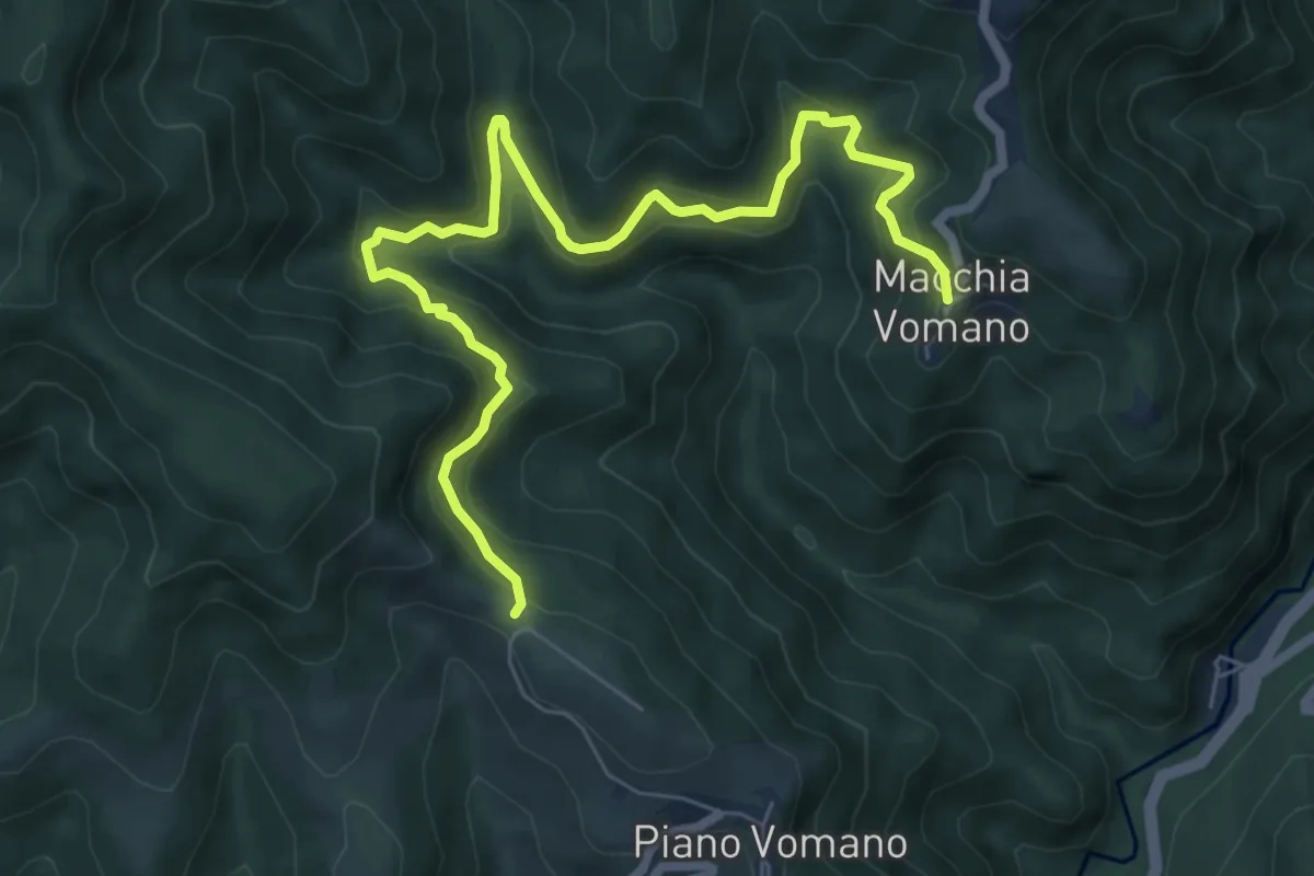
Medium · Trail
Piano Vomano – Macchia Vomano
8.4 km · ↑ 456 m · 2 h 58 min · 11 km away
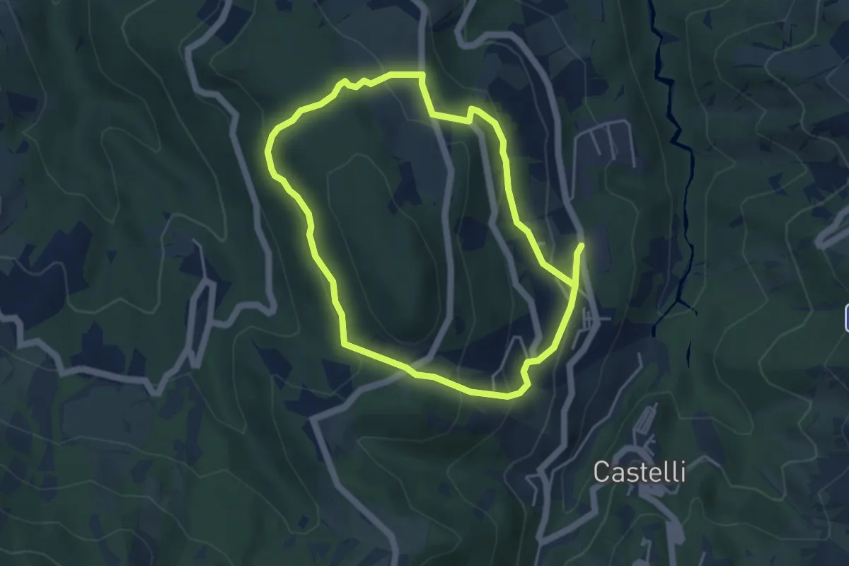
Easy · Trail
Sentiero della Pace
4.2 km · ↑ 208 m · 1 h 30 min · 12 km away
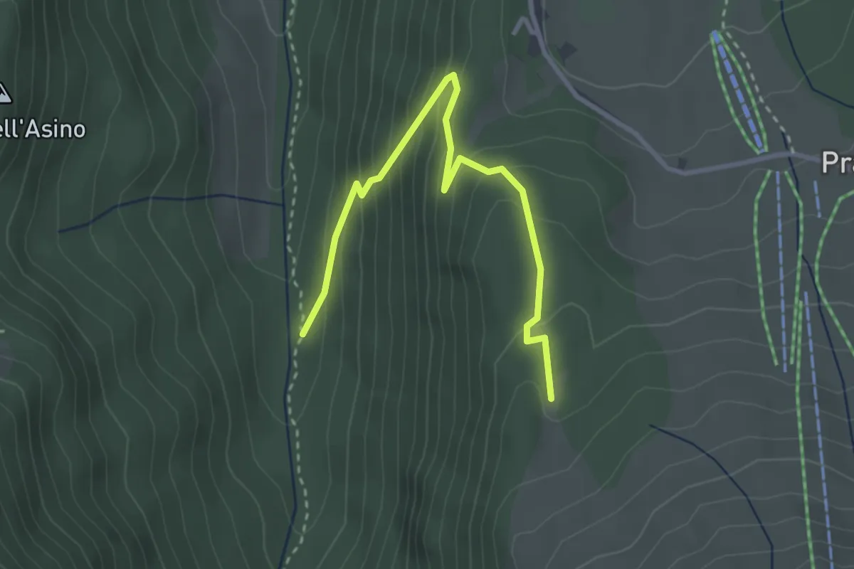
Easy · Trail
Valle Rio Arno – La Giumenta
3.5 km · ↑ 264 m · 1 h 24 min · 12 km away
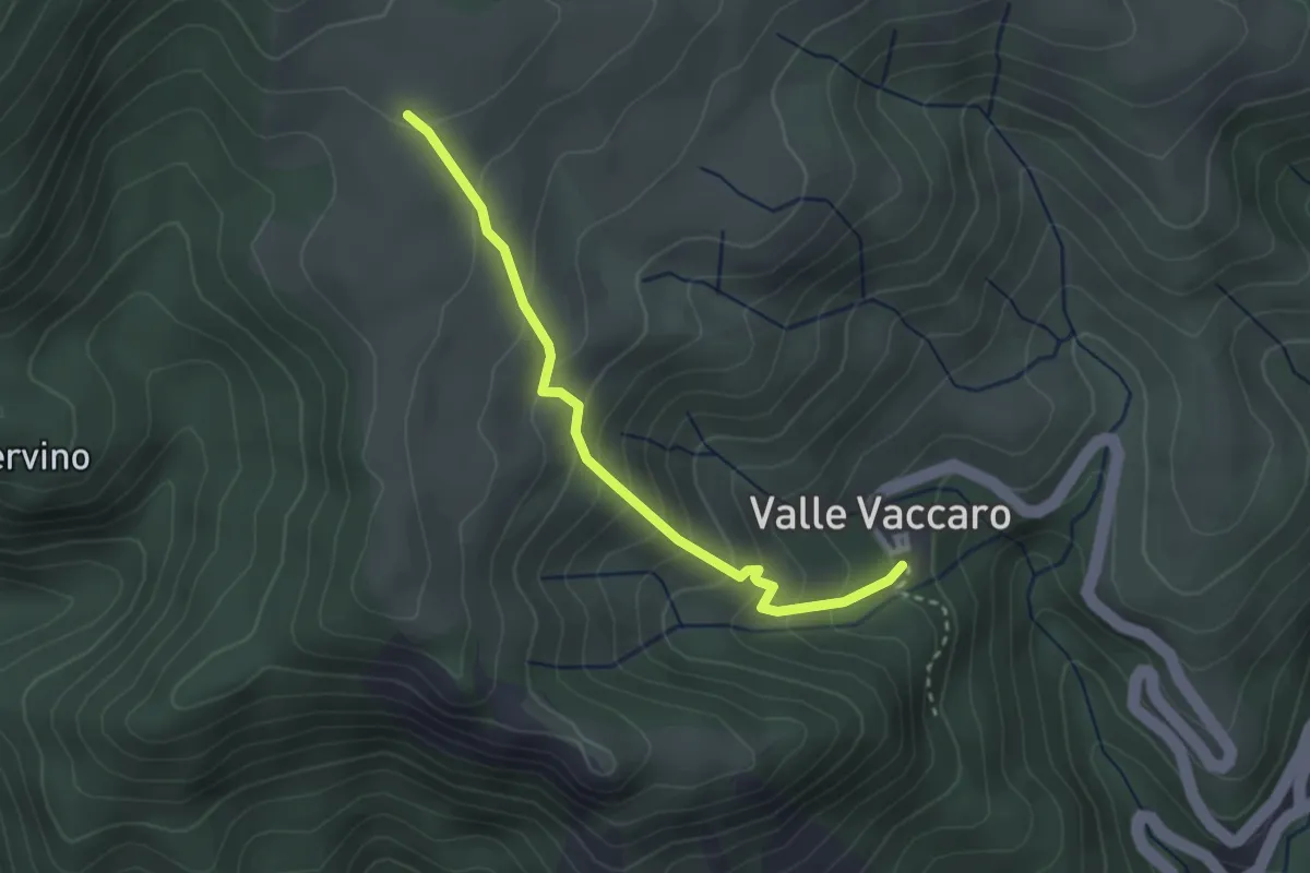
Easy · Trail
Valle Vaccaro – Piano S. Pietro Scardazzo
2.9 km · ↑ 252 m · 1 h 14 min · 13 km away
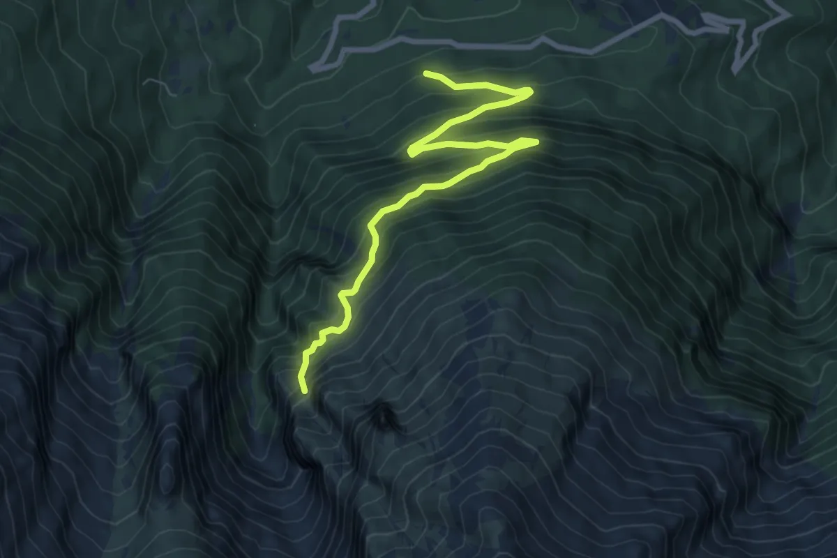
Expert · Summit
Bosco di Pagliara – Monte Prena
8.2 km · ↑ 792 m · 3 h 40 min · 13 km away
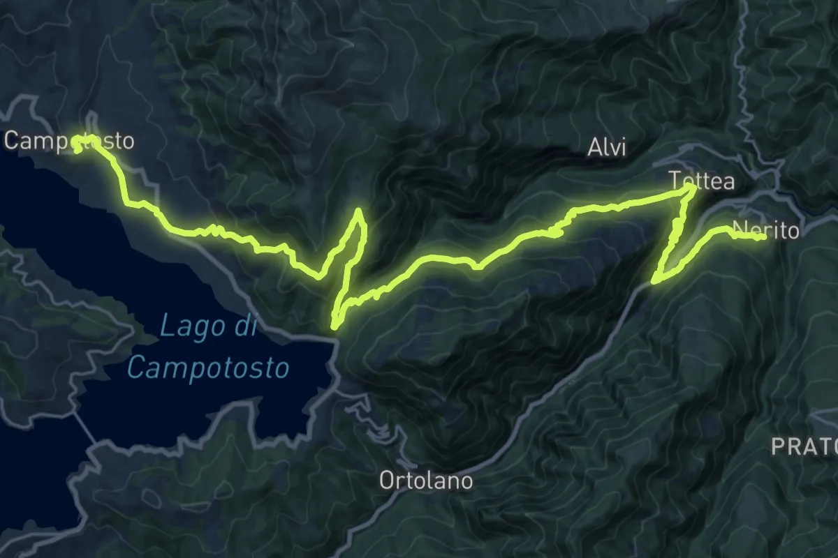
Demanding · Trail
Nerito – Campotosto
17.1 km · ↑ 1137 m · 6 h 27 min · 13 km away
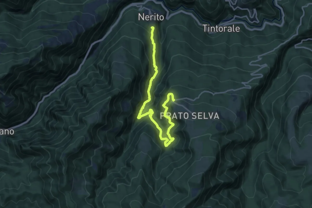
Demanding · Trail
Prato Selva – Nerito
14.2 km · ↑ 840 m · 5 h 10 min · 14 km away
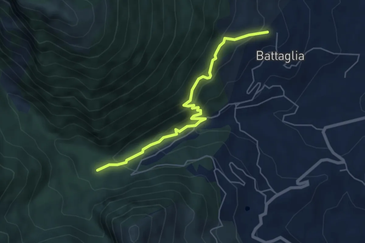
Medium · Trail
Variante della cascatella
5.2 km · ↑ 420 m · 2 h 8 min · 14 km away
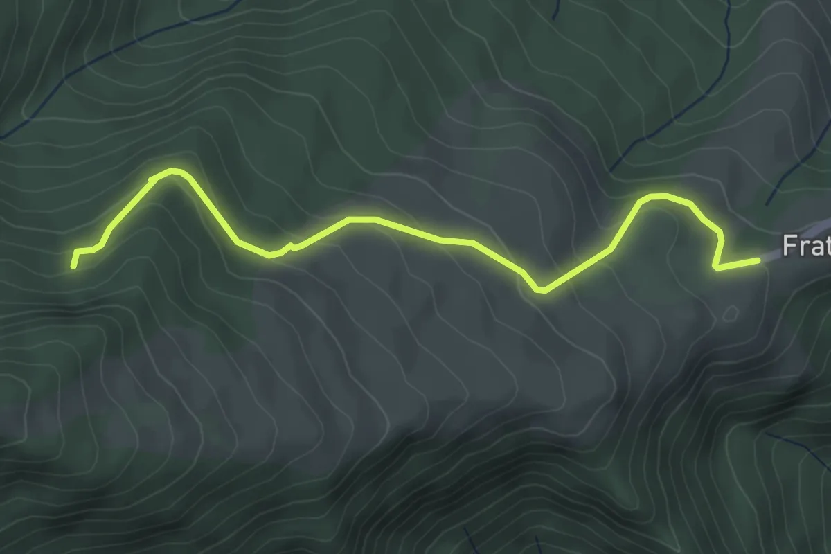
Medium · Trail
Frattoli – Bivio con S357
4.5 km · ↑ 262 m · 1 h 37 min · 14 km away
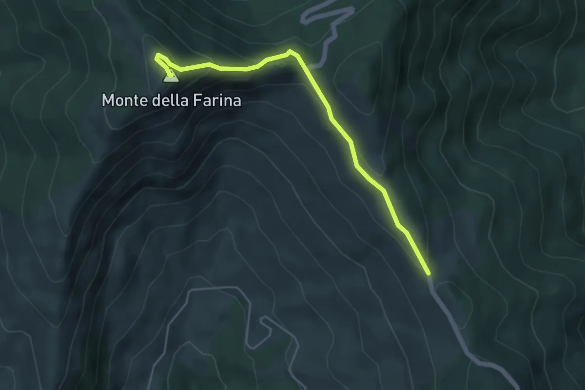
Easy · Summit
Strada Acquachiara – Monte della Farina
4.5 km · ↑ 208 m · 1 h 30 min · 14 km away
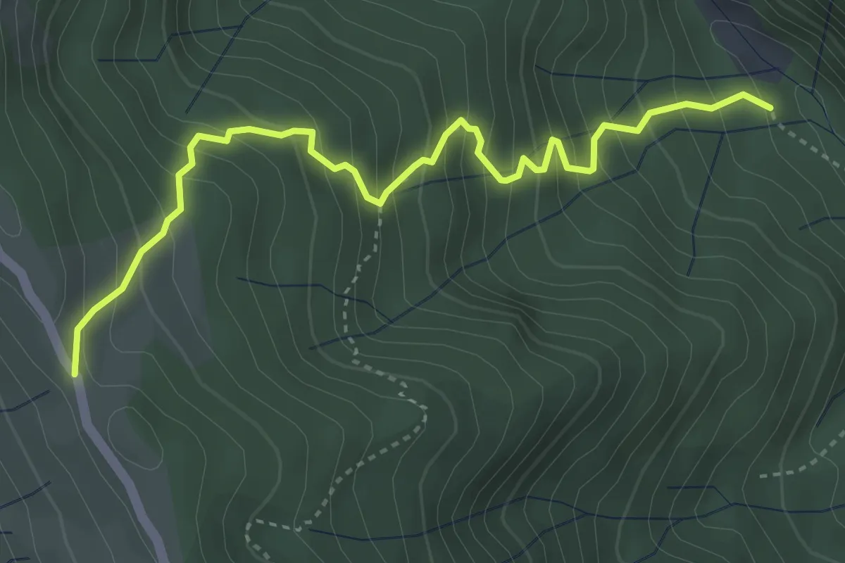
Medium · Trail
Valle degli Scoiattoli – Fonte Caprara-Pietra Stretta
4.4 km · ↑ 524 m · 2 h 11 min · 14 km away
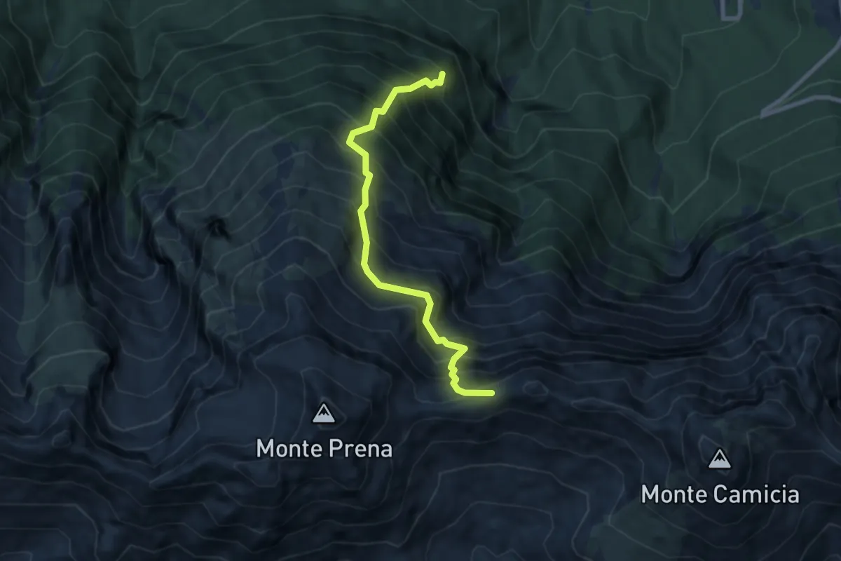
Demanding · Trail
Bosco di Pagliara – Vado di Ferruccio
7.6 km · ↑ 1234 m · 4 h 28 min · 14 km away
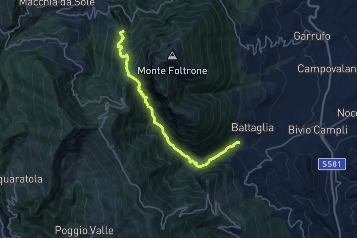
Demanding · Summit
Valle degli scoiattoli
13.4 km · ↑ 887 m · 5 h 6 min · 14 km away
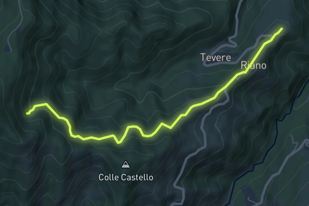
Medium · Trail
Riano - Sentiero N332
6.8 km · ↑ 506 m · 2 h 43 min · 15 km away
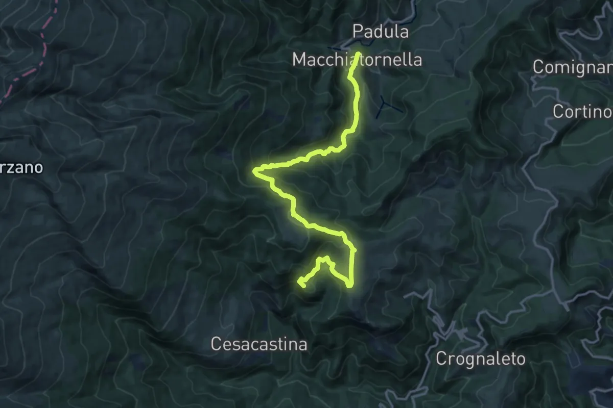
Demanding · Summit
Cesacastina – Padula
15.0 km · ↑ 858 m · 5 h 24 min · 15 km away
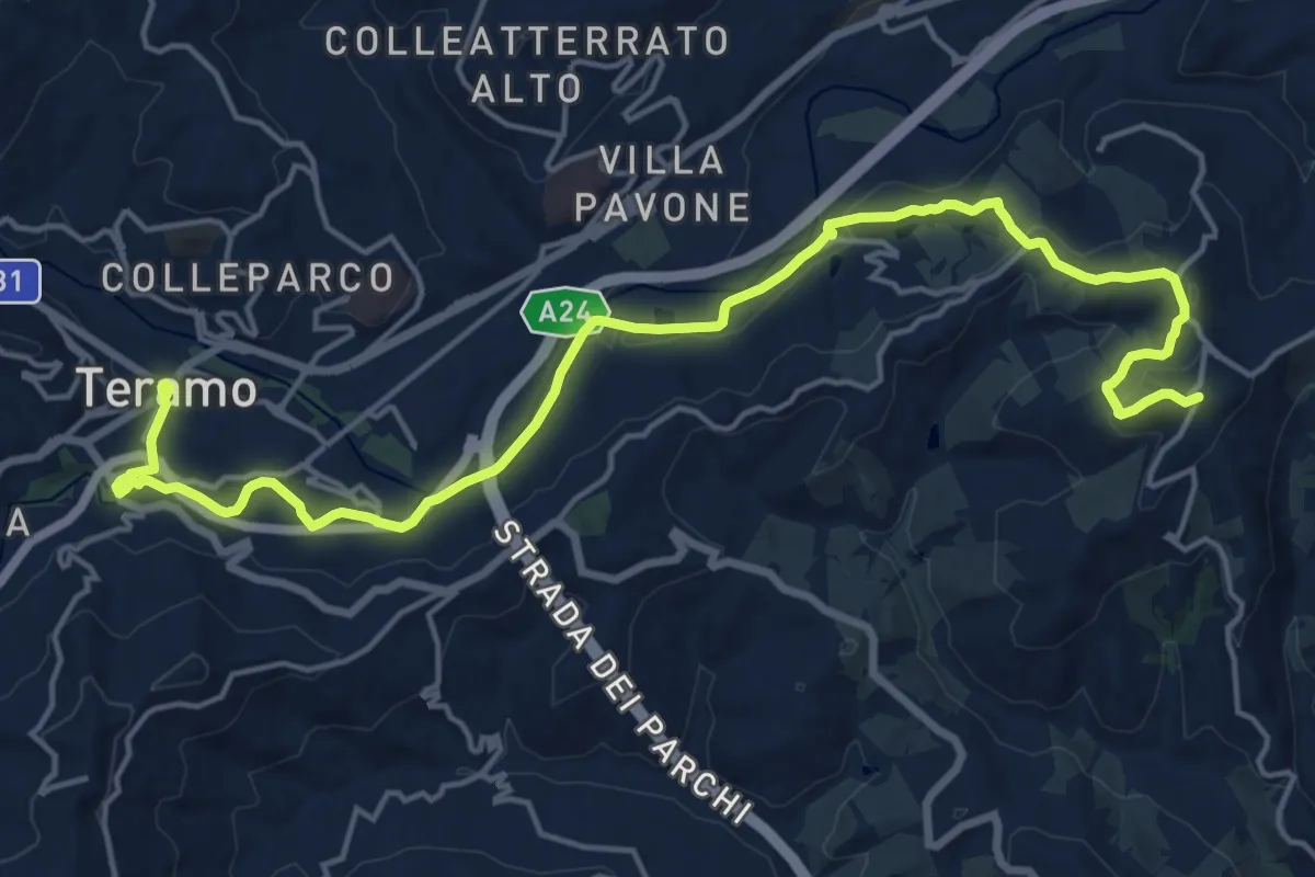
Demanding · Trail
Il Cammino d'Abruzzo: Tappa 6
22.2 km · ↑ 452 m · 6 h 13 min · 15 km away
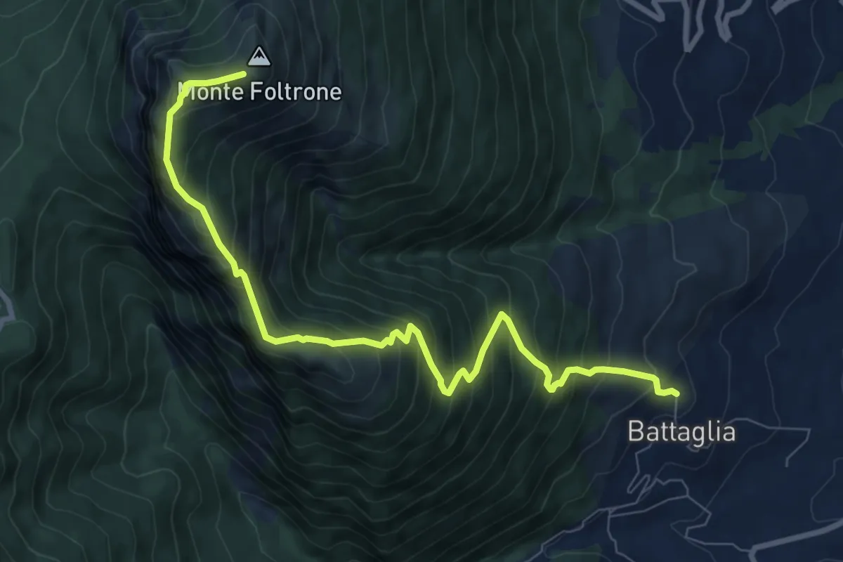
Demanding · Summit
Battaglia – Monte Foltrone (426)
9.8 km · ↑ 1031 m · 4 h 32 min · 15 km away
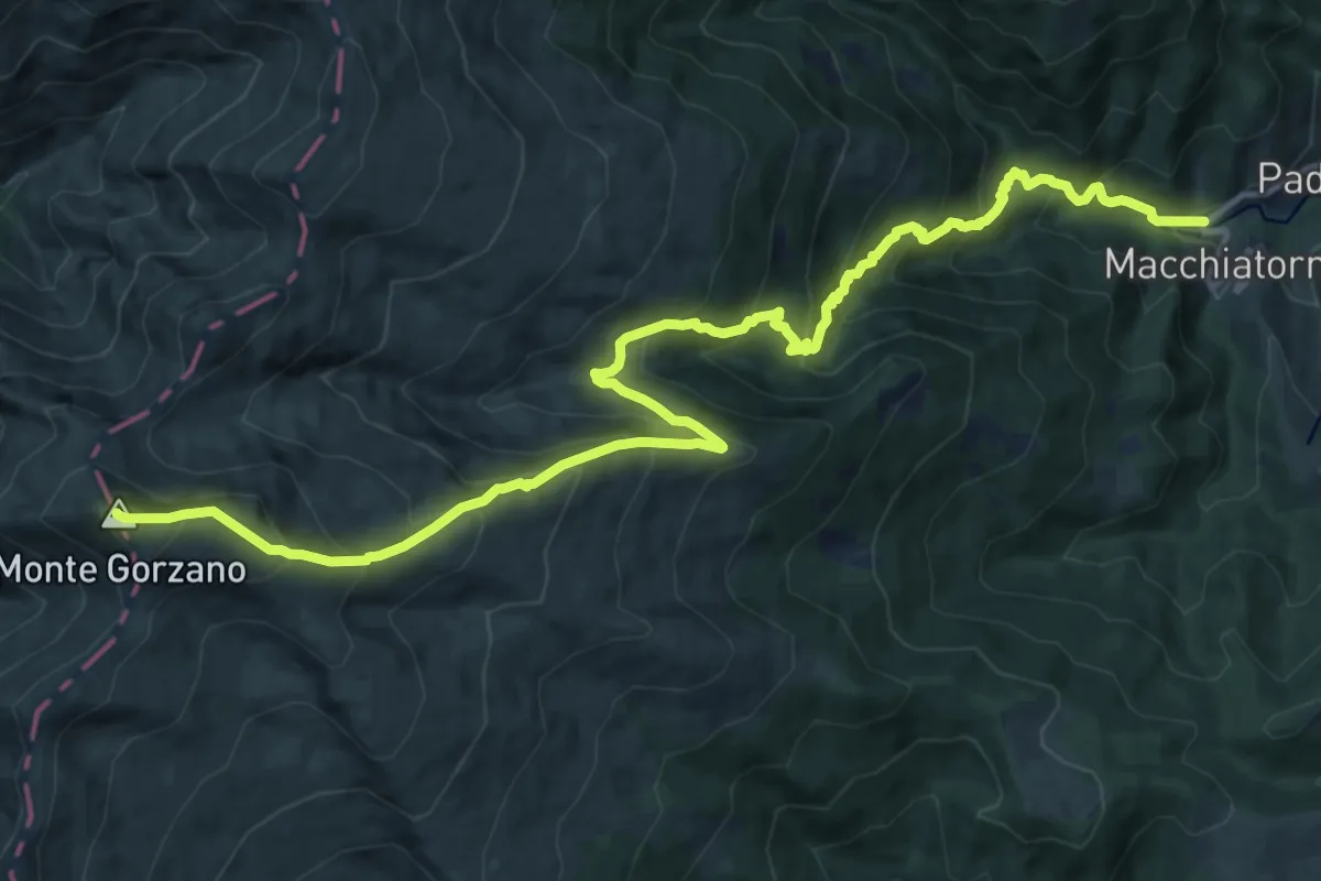
Demanding · Summit
SP47 – Monte Gorzano
17.5 km · ↑ 1511 m · 7 h 24 min · 15 km away