Trails near Mozzate
72 hikes starting within 15 km, nearest first.
Nearest first, page 2 of 2
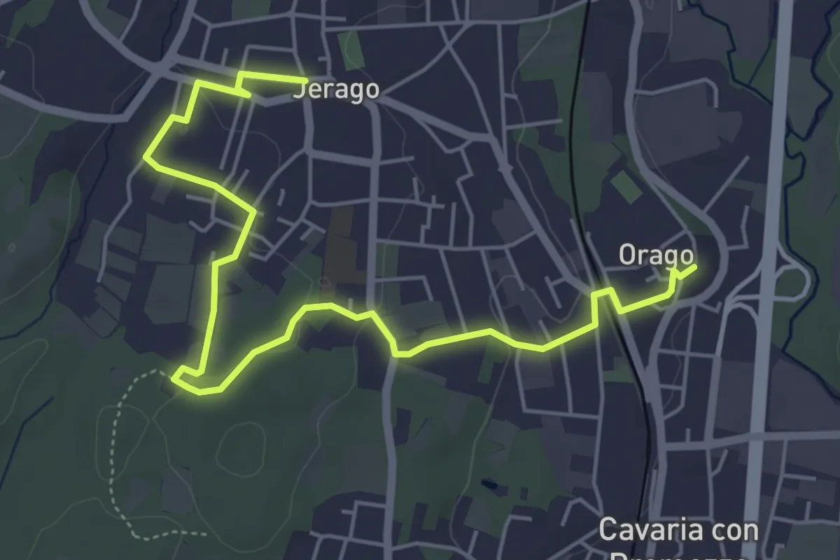
Easy · Trail
DID - Anello di Jerago
6.5 km · ↑ 54 m · 1 h 38 min · 12 km away
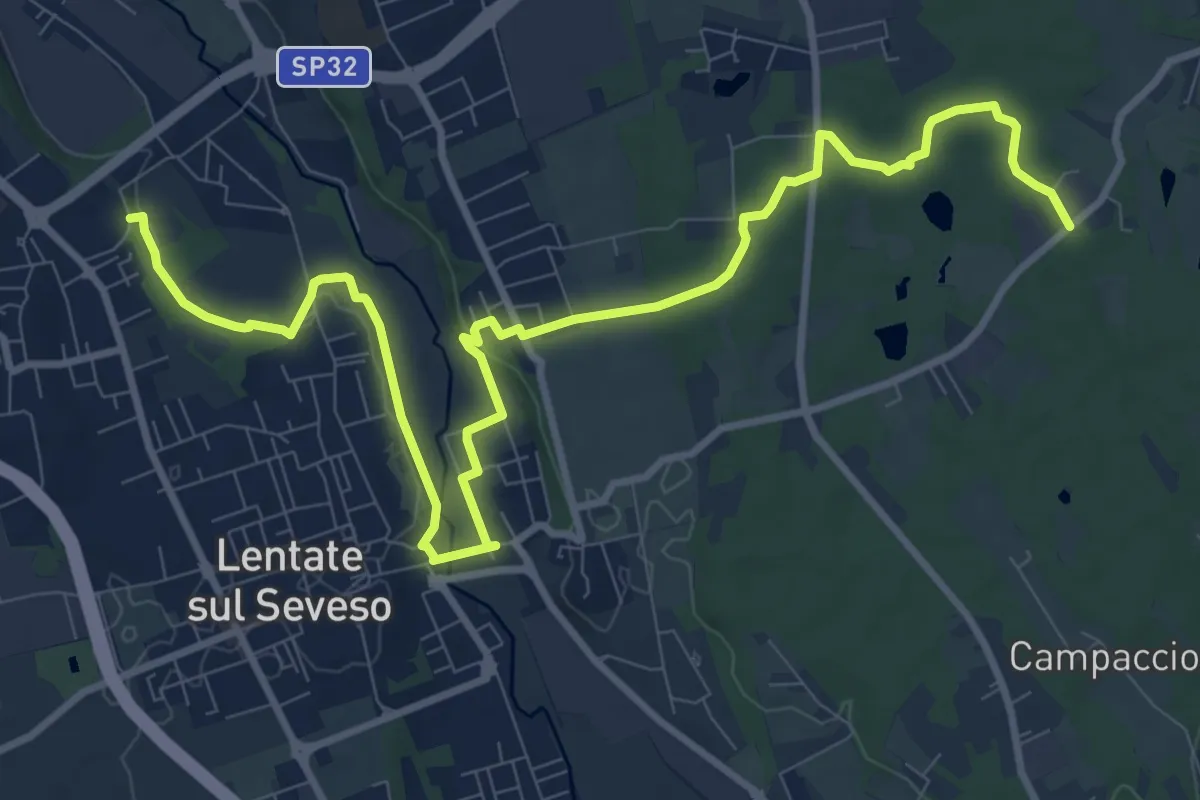
Medium · Trail
Copreno – Boscaccio
13.4 km · ↑ 150 m · 3 h 29 min · 12 km away
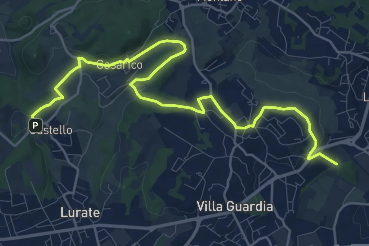
Medium · Trail
Castello – Civello
12.9 km · ↑ 191 m · 3 h 28 min · 12 km away
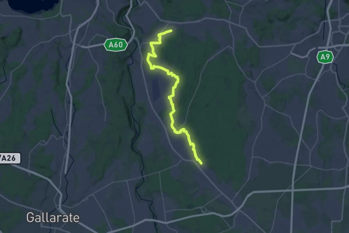
Medium · Trail
Sentiero 540LP
16.5 km · ↑ 81 m · 4 h 21 min · 12 km away
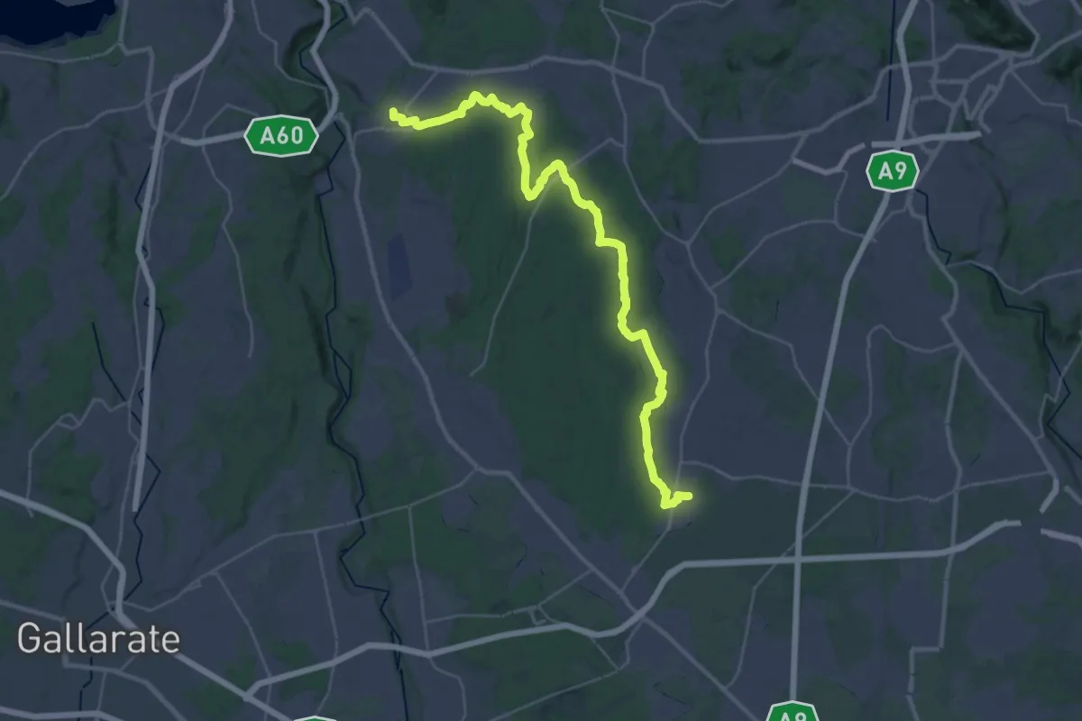
Demanding · Trail
Limido Comasco – Vedano Olona
19.7 km · ↑ 134 m · 5 h 16 min · 13 km away
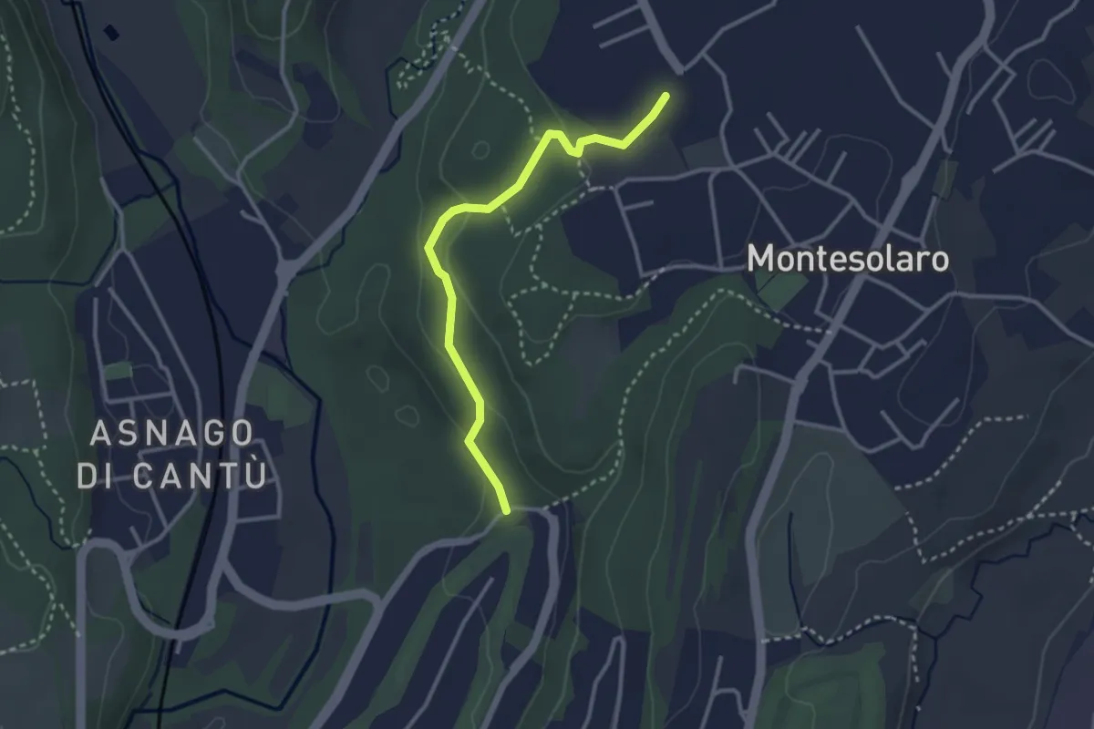
Easy · Trail
Carimate – Cantù
2.9 km · ↑ 102 m · 55 min · 13 km away
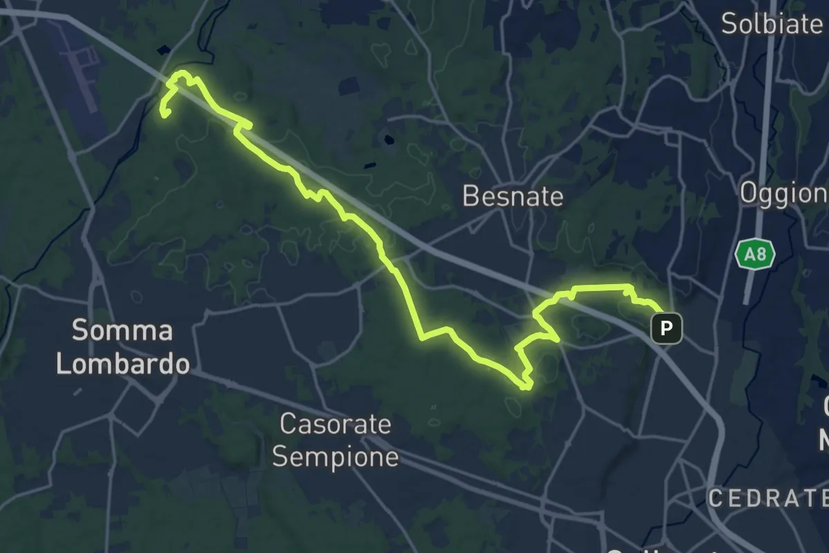
Demanding · Summit
Sentiero Strona
22.8 km · ↑ 292 m · 6 h · 13 km away
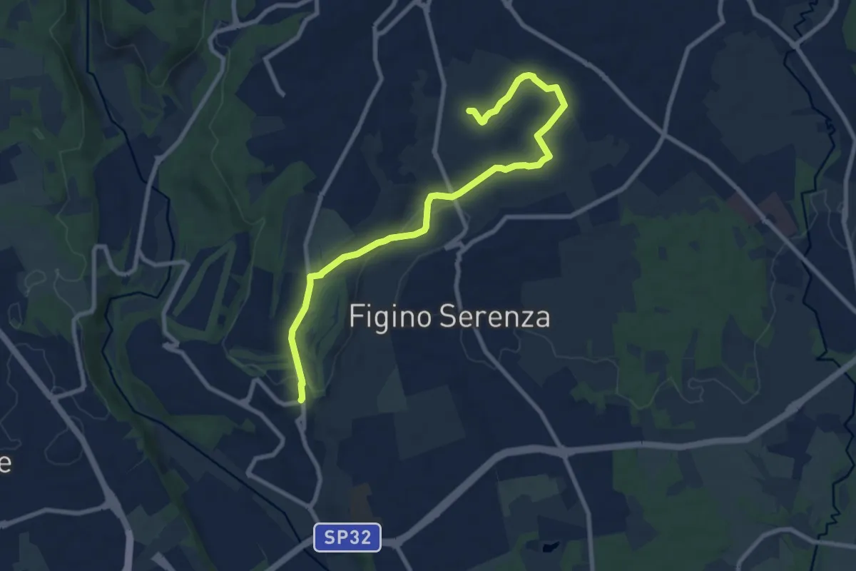
Medium · Trail
Carimate – Cascina Moia
9.3 km · ↑ 103 m · 2 h 25 min · 13 km away
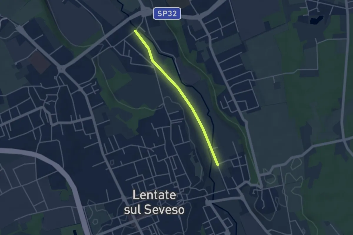
Easy · Trail
Lentate sul Seveso – Carimate
3.1 km · ↑ 9 m · 45 min · 13 km away
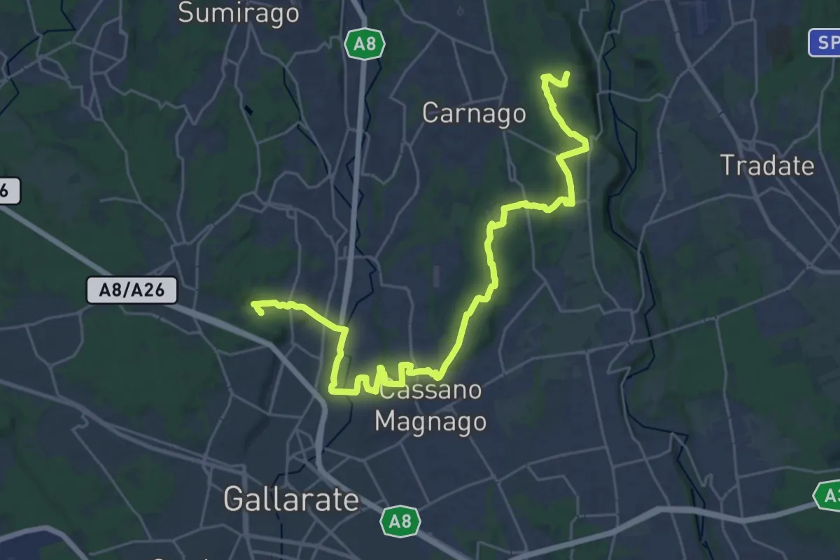
Medium · Trail
Collegamento Ticino-Seprio
16.0 km · ↑ 202 m · 4 h 23 min · 13 km away
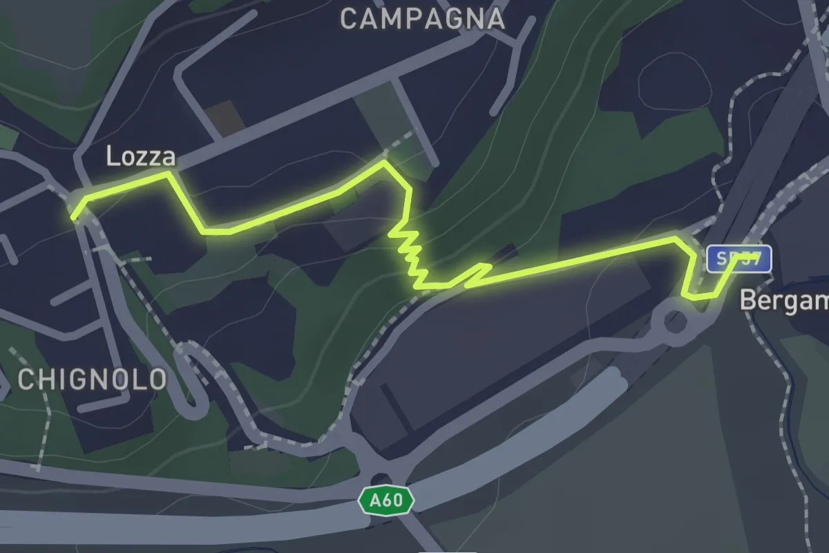
Easy · Trail
Collegamento Lozza - Dorsale RTO
2.3 km · ↑ 54 m · 40 min · 14 km away
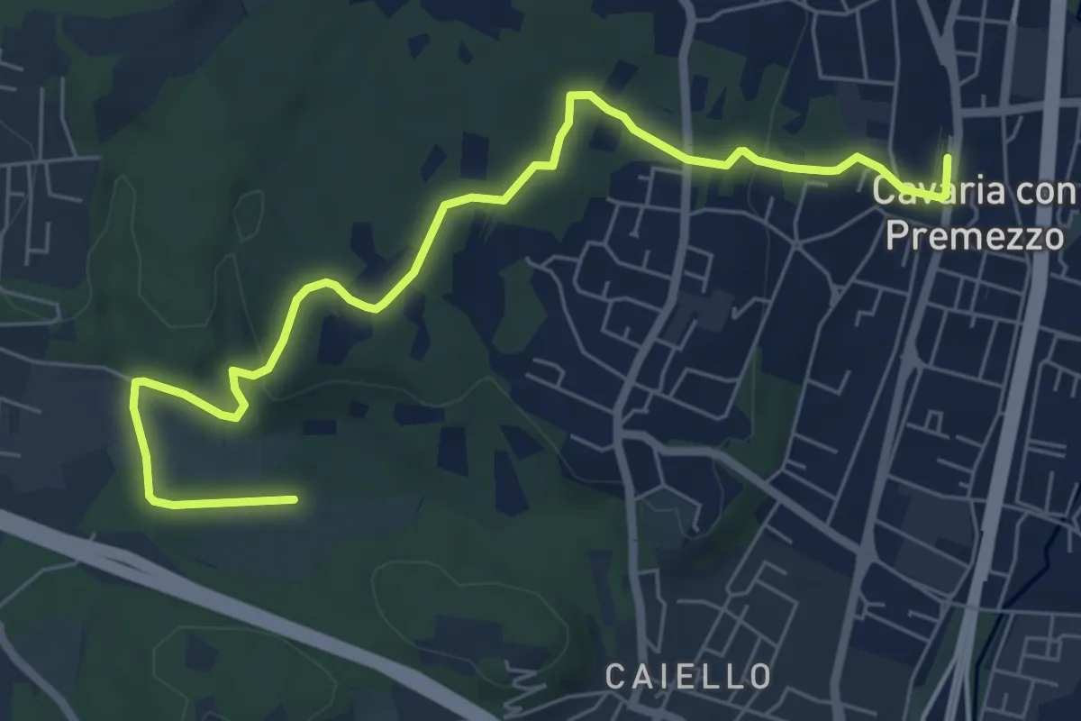
Medium · Trail
DID Anello di Cavaria
7.3 km · ↑ 114 m · 1 h 58 min · 14 km away
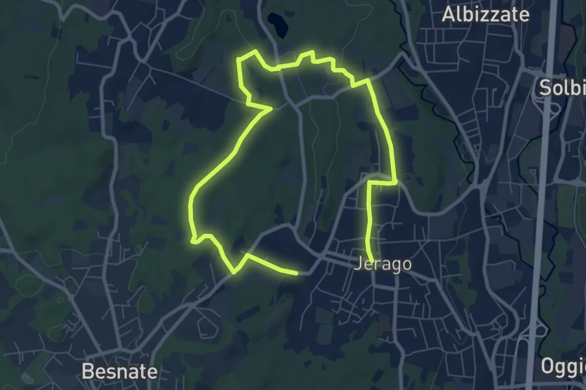
Medium · Trail
Piane Viscontee - Anello di Jerago
11.3 km · ↑ 87 m · 2 h 51 min · 14 km away
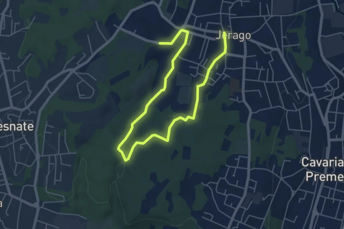
Easy · Trail
Piane Viscontee - Anello di Jerago
6.8 km · ↑ 65 m · 1 h 45 min · 14 km away
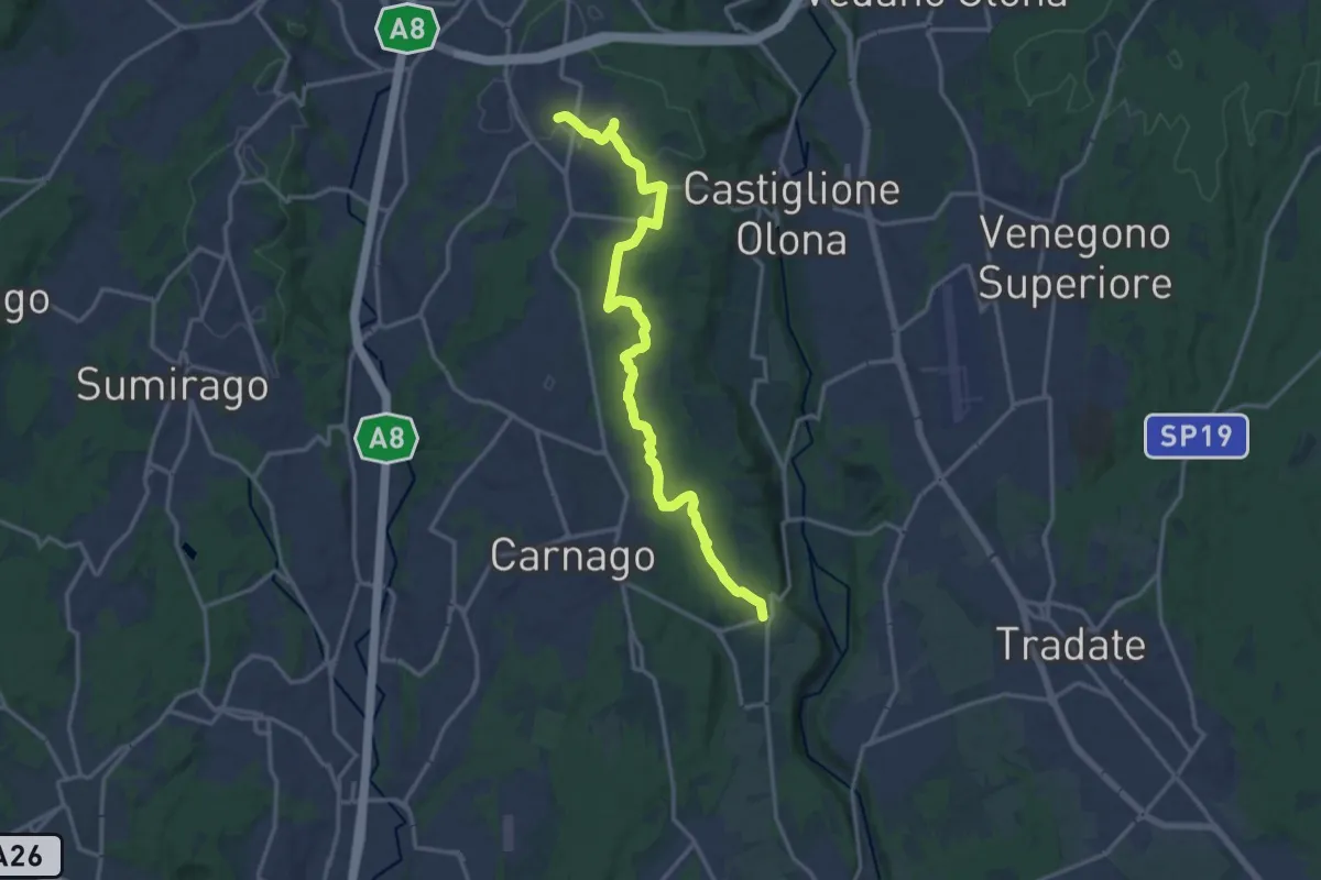
Medium · Trail
Sentiero del Tenore
16.7 km · ↑ 149 m · 4 h 16 min · 14 km away
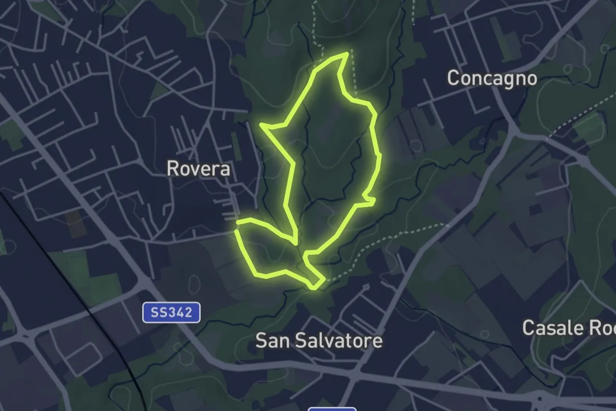
Easy · Trail
Sentiero Quadronna
3.1 km · ↑ 58 m · 54 min · 14 km away
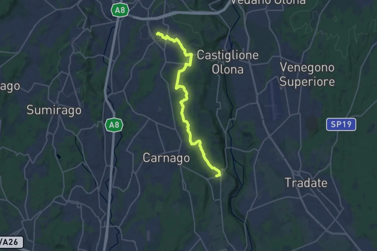
Medium · Trail
522 Sentiero del Tenore
17.2 km · ↑ 164 m · 4 h 25 min · 14 km away
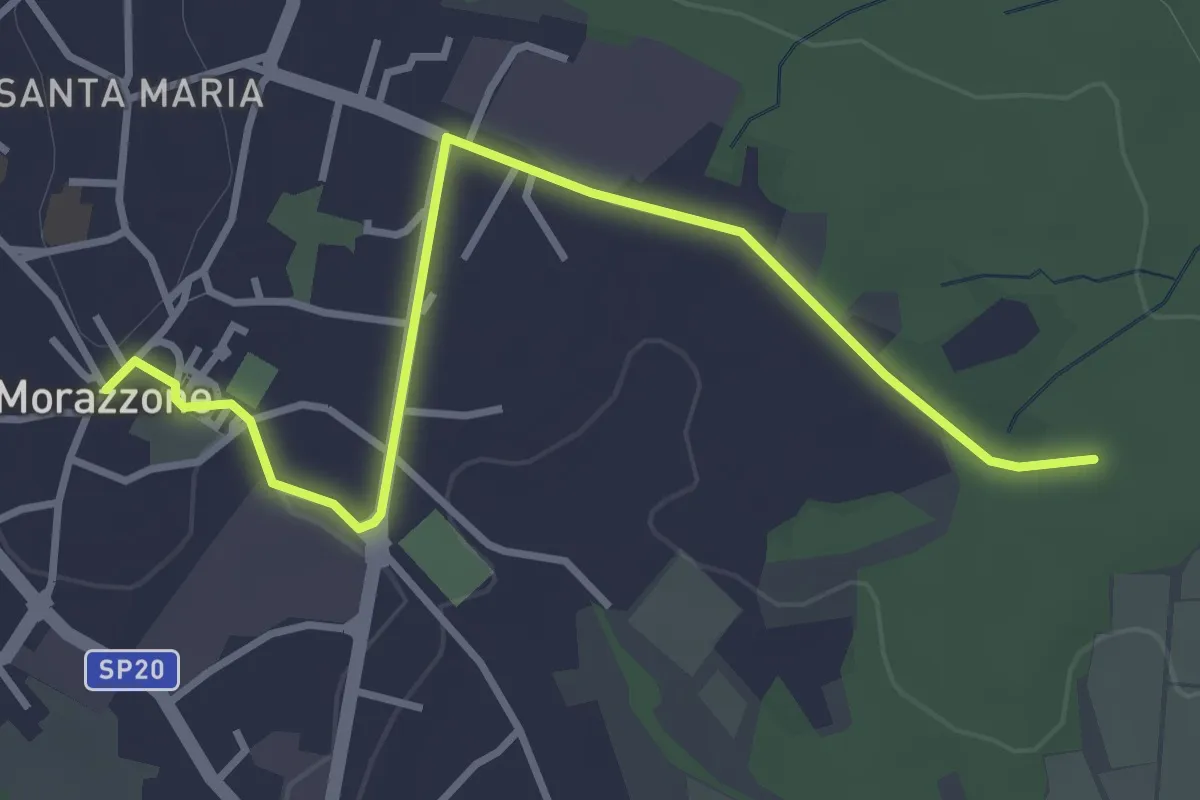
Easy · Trail
520C Collegmaento Morazzone-Dorsale RTO
3.8 km · ↑ 31 m · 58 min · 14 km away
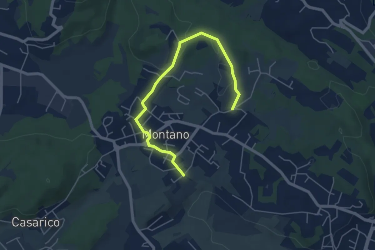
Easy · Trail
Montano Lucino cimitero – Montano Lucino loc. Trivino
4.9 km · ↑ 65 m · 1 h 18 min · 14 km away
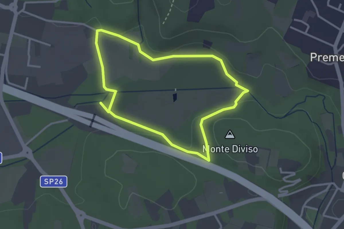
Easy · Summit
Anello dei Fontanili
2.6 km · ↑ 22 m · 42 min · 14 km away
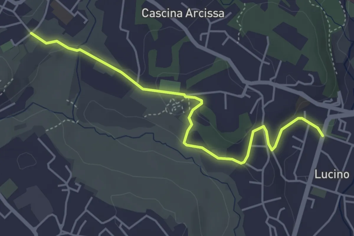
Easy · Trail
Montano Lucino cimitero – Montano Lucino loc. Trivino
4.7 km · ↑ 95 m · 1 h 19 min · 14 km away
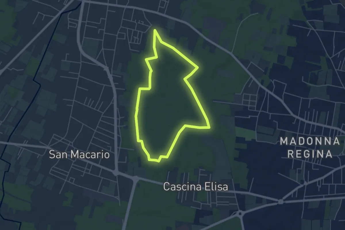
Easy · Trail
Anello di Samarate
4.8 km · ↑ 8 m · 1 h 13 min · 15 km away
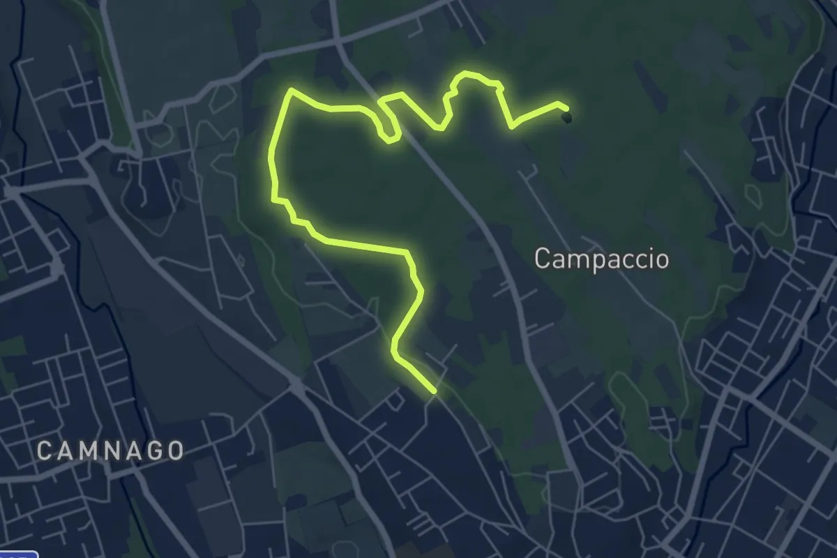
Easy · Trail
Cascina Colombera – Zoca dei Pirutit
7.2 km · ↑ 31 m · 1 h 46 min · 15 km away
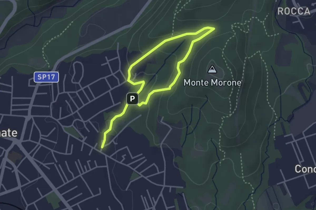
Easy · Trail
Sentiero Fugascé
5.0 km · ↑ 151 m · 1 h 31 min · 15 km away