Trails near Nave
265 hikes starting within 15 km, nearest first.
Nearest first, page 4 of 6
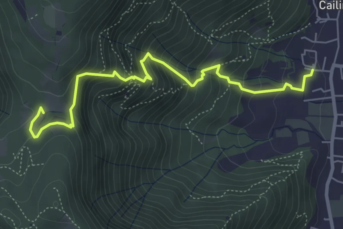
Medium · Trail
Villa Carcina (Cailina) – Quarone
5.7 km · ↑ 534 m · 2 h 30 min · 8 km away
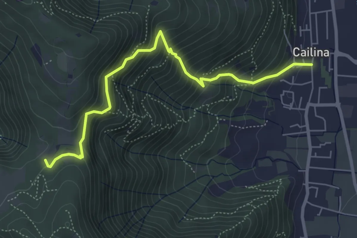
Medium · Trail
Villa Carcina (Cailina) – Quarone
5.8 km · ↑ 607 m · 2 h 42 min · 8 km away
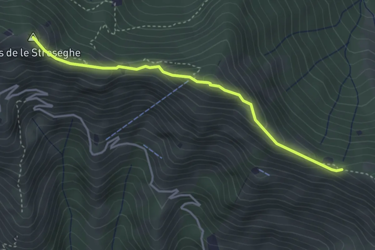
Expert · Summit
Sentiero 3V - Tappa 2 (Variante alta)
3.5 km · ↑ 313 m · 1 h 30 min · 8 km away
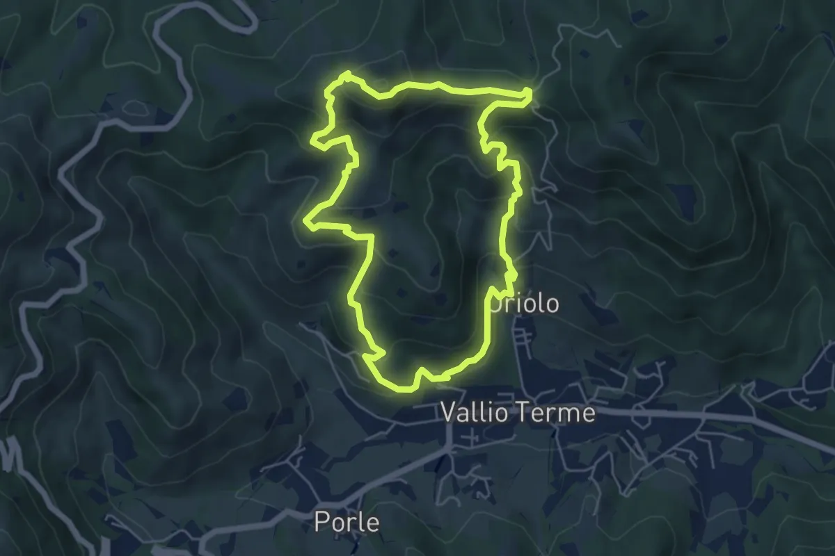
Medium · Summit
Vallio Terme (Vigle) - Rocca di Bernacco - Oriolo
5.2 km · ↑ 400 m · 2 h 11 min · 8 km away
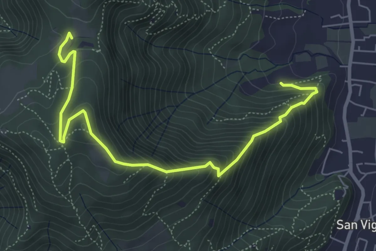
Medium · Trail
Concesio (Via Mandò) - Costa - Quarone di Sopra
6.6 km · ↑ 592 m · 2 h 50 min · 8 km away
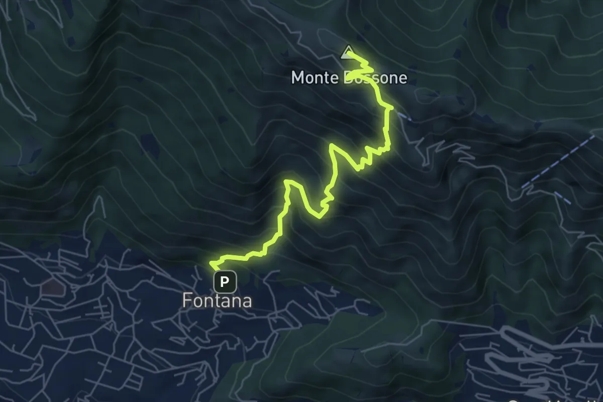
Medium · Summit
Lumezzane (Fontana) - Monte Dossone
6.5 km · ↑ 760 m · 3 h 11 min · 9 km away
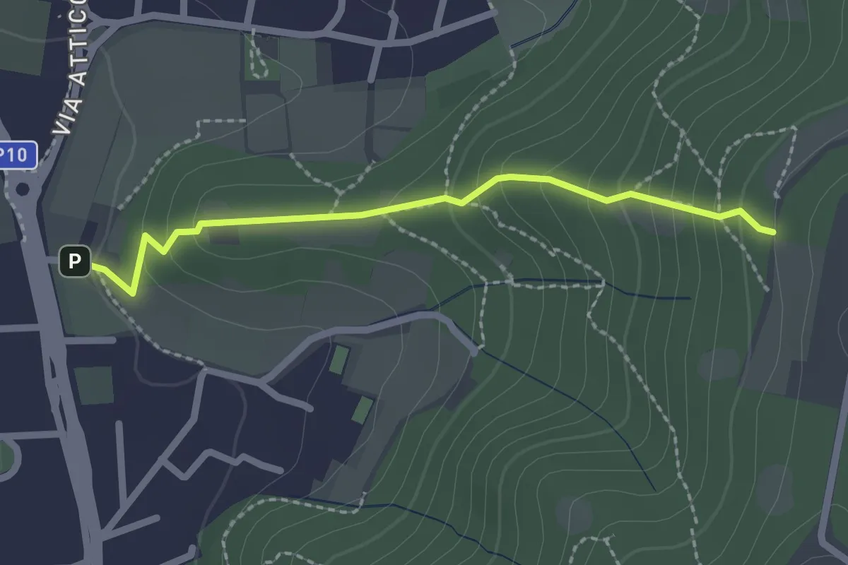
Medium · Trail
Cellatica (Via San Rocco) – Campiani (Innesto Sentiero 219)
2.1 km · ↑ 157 m · 50 min · 9 km away
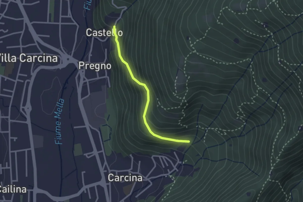
Medium · Trail
Villa Carcina (Carcina) - Pregno
2.2 km · ↑ 165 m · 53 min · 9 km away
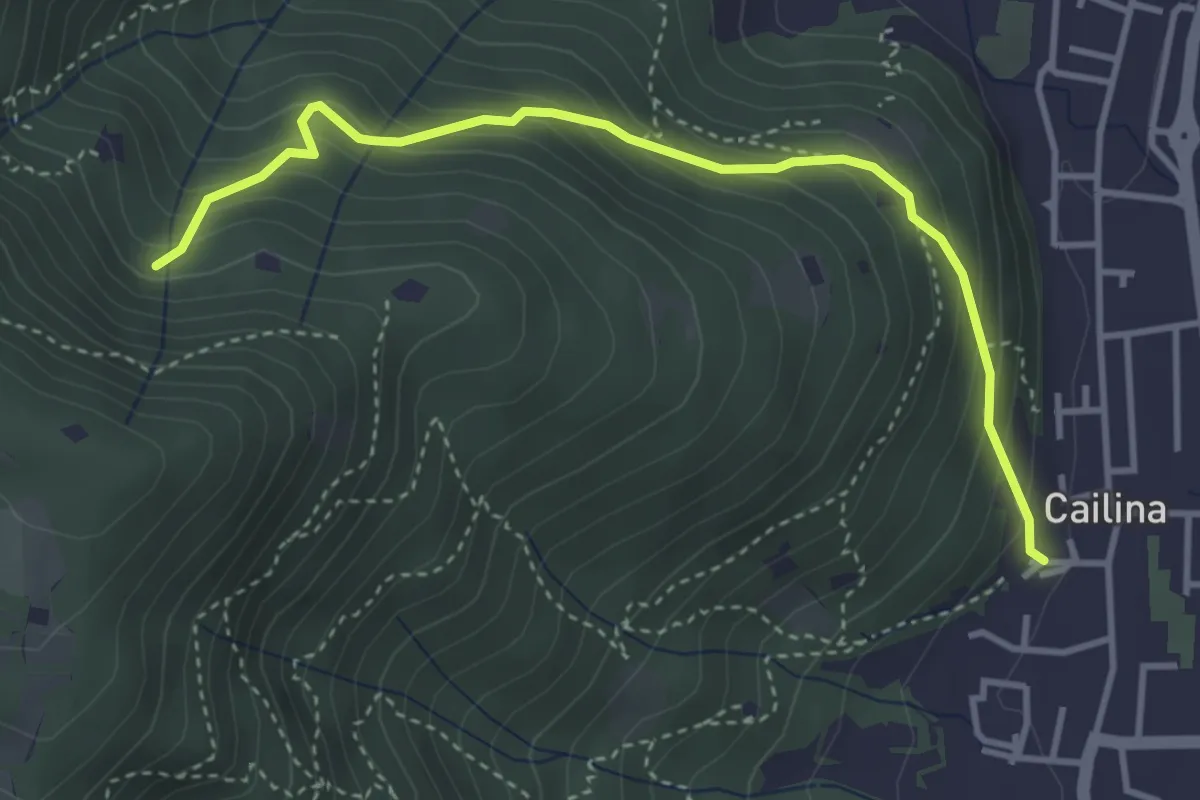
Medium · Trail
Villa Carcina (Cailina) – Roccolo del Prete
4.0 km · ↑ 379 m · 1 h 45 min · 9 km away
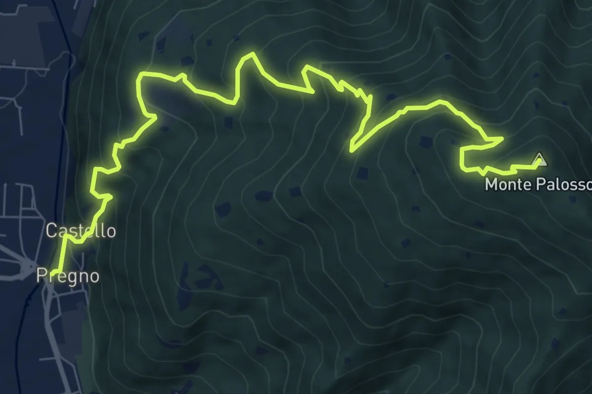
Demanding · Summit
Villa Carcina (Pregno) – Monte Palosso
11.1 km · ↑ 912 m · 4 h 36 min · 9 km away
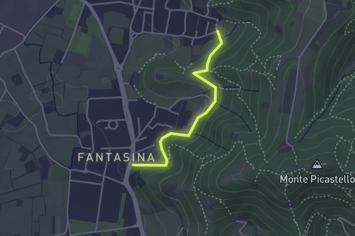
Easy · Trail
Cellatica (Fantasina) – Cellatica (Cantone)
2.9 km · ↑ 101 m · 54 min · 9 km away
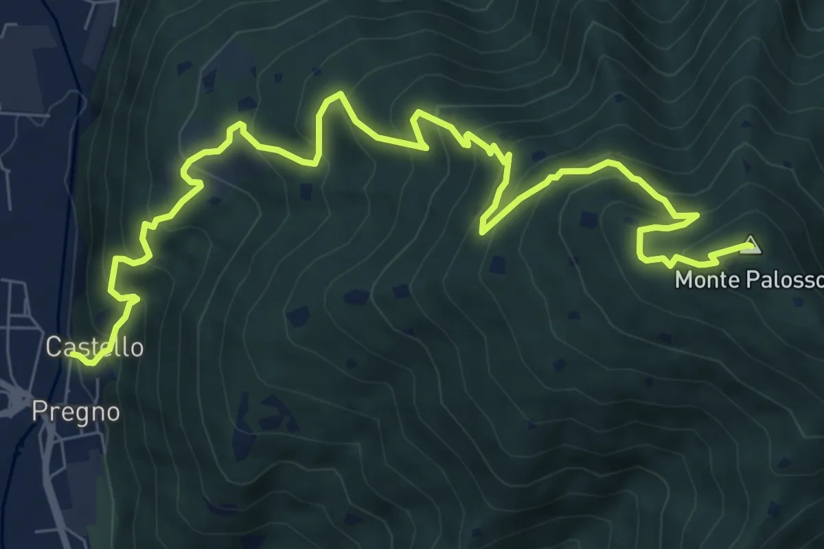
Demanding · Summit
Sentiero n° 2
10.4 km · ↑ 895 m · 4 h 24 min · 9 km away
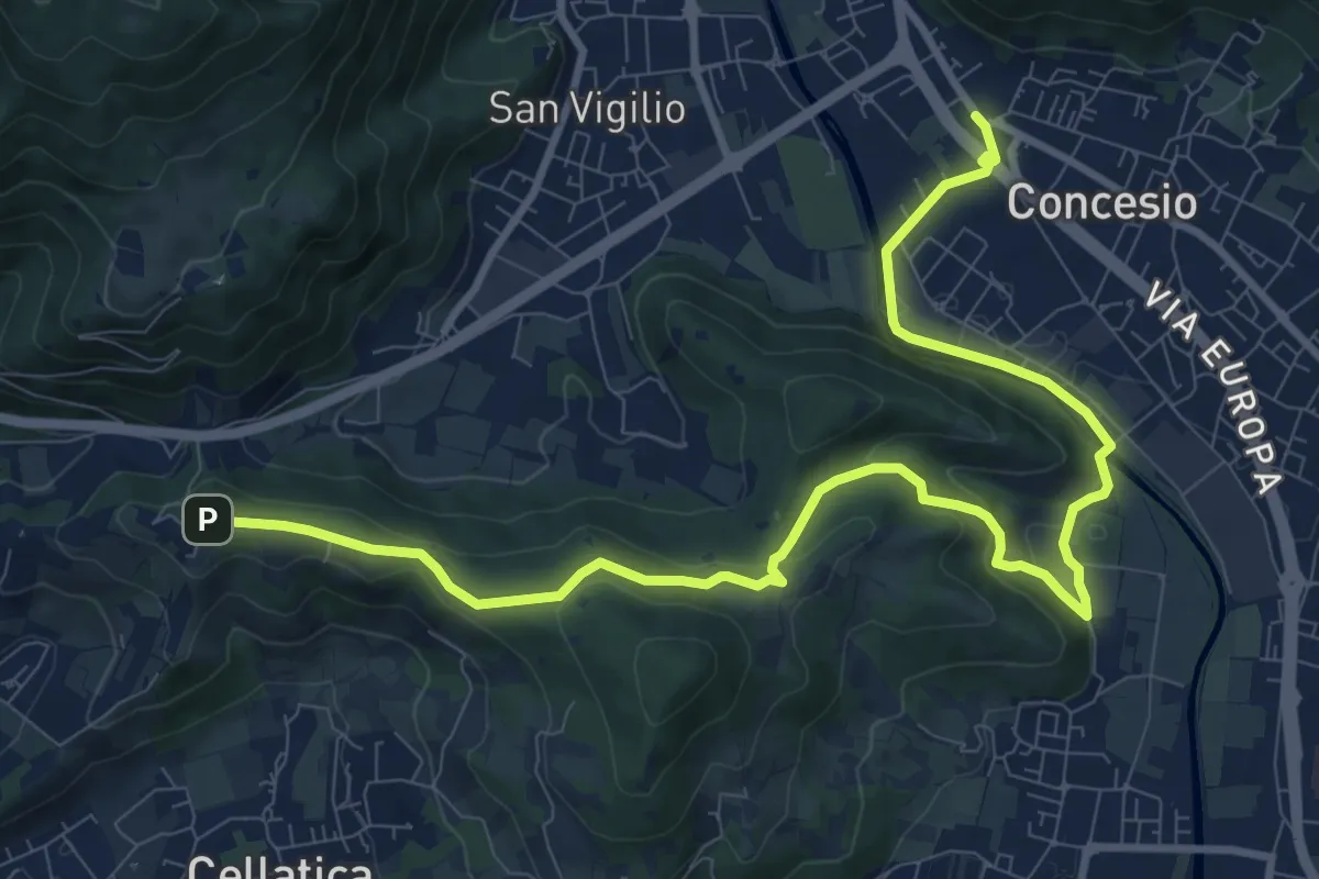
Medium · Trail
Sentiero Pietro Ottaviani
12.8 km · ↑ 333 m · 3 h 44 min · 9 km away
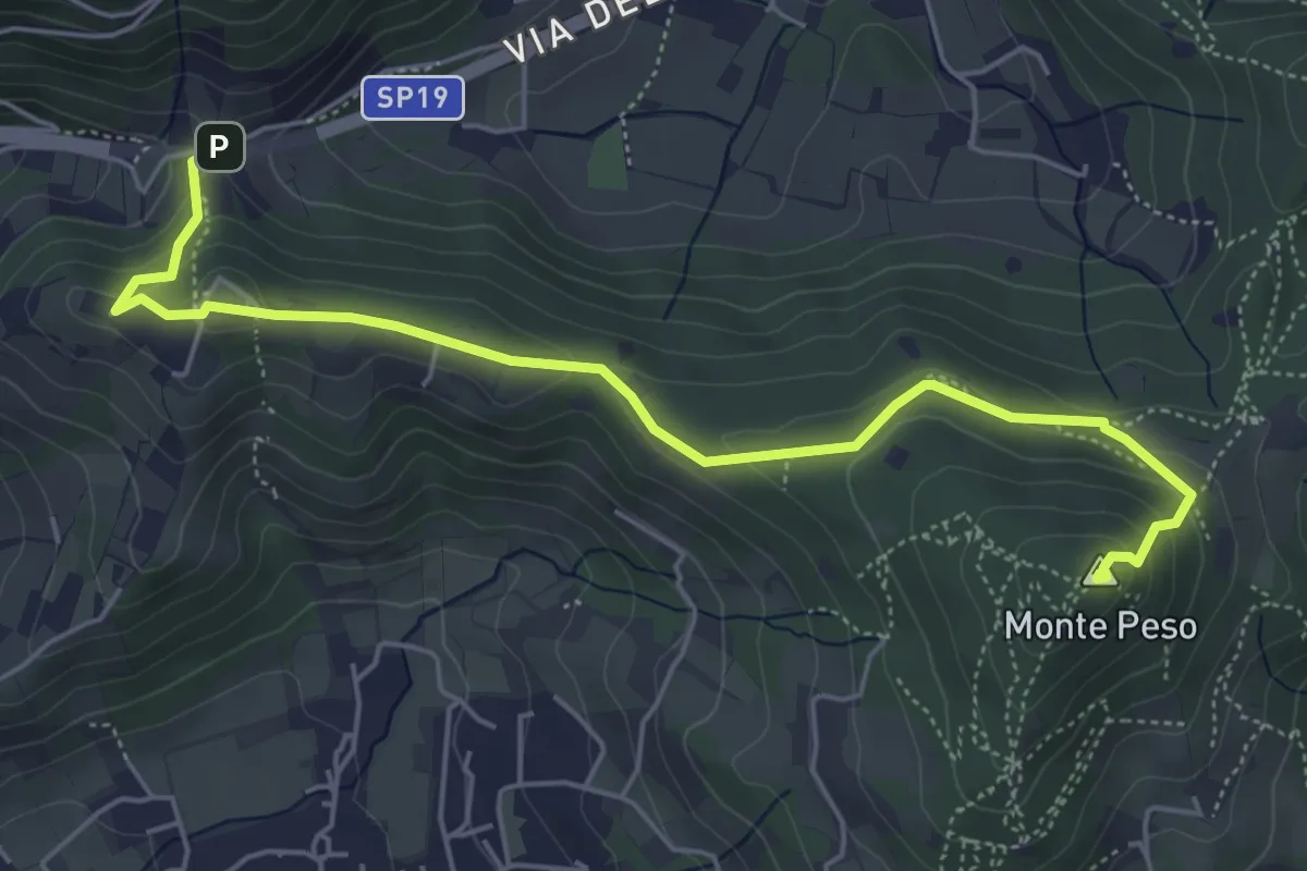
Medium · Summit
Sentiero 3V - Tappa 8b
6.0 km · ↑ 266 m · 1 h 59 min · 9 km away
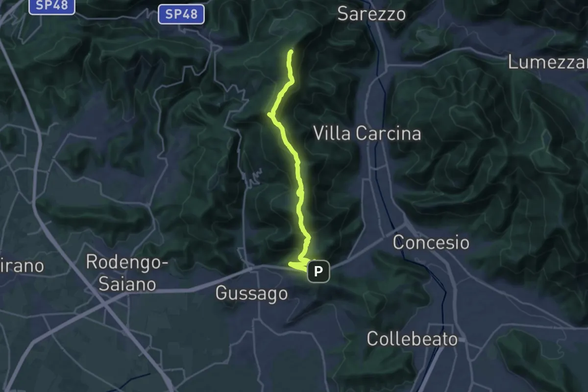
Demanding · Summit
Sentiero 3V - Tappa 8a
18.2 km · ↑ 1158 m · 6 h 48 min · 9 km away
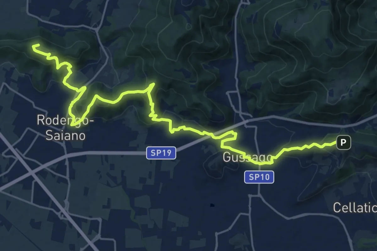
Demanding · Summit
Sentiero della Franciacorta
21.9 km · ↑ 913 m · 7 h 9 min · 9 km away
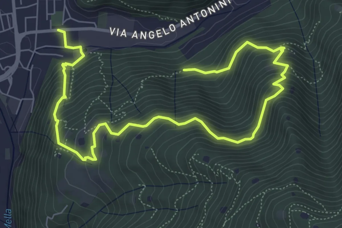
Demanding · Trail
La Vià Antiga
9.3 km · ↑ 858 m · 4 h 3 min · 9 km away
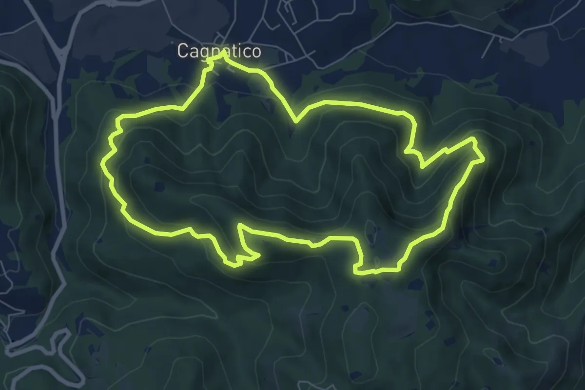
Medium · Summit
Odolo (Cagnatico) – Cagnatico
7.1 km · ↑ 405 m · 2 h 40 min · 9 km away
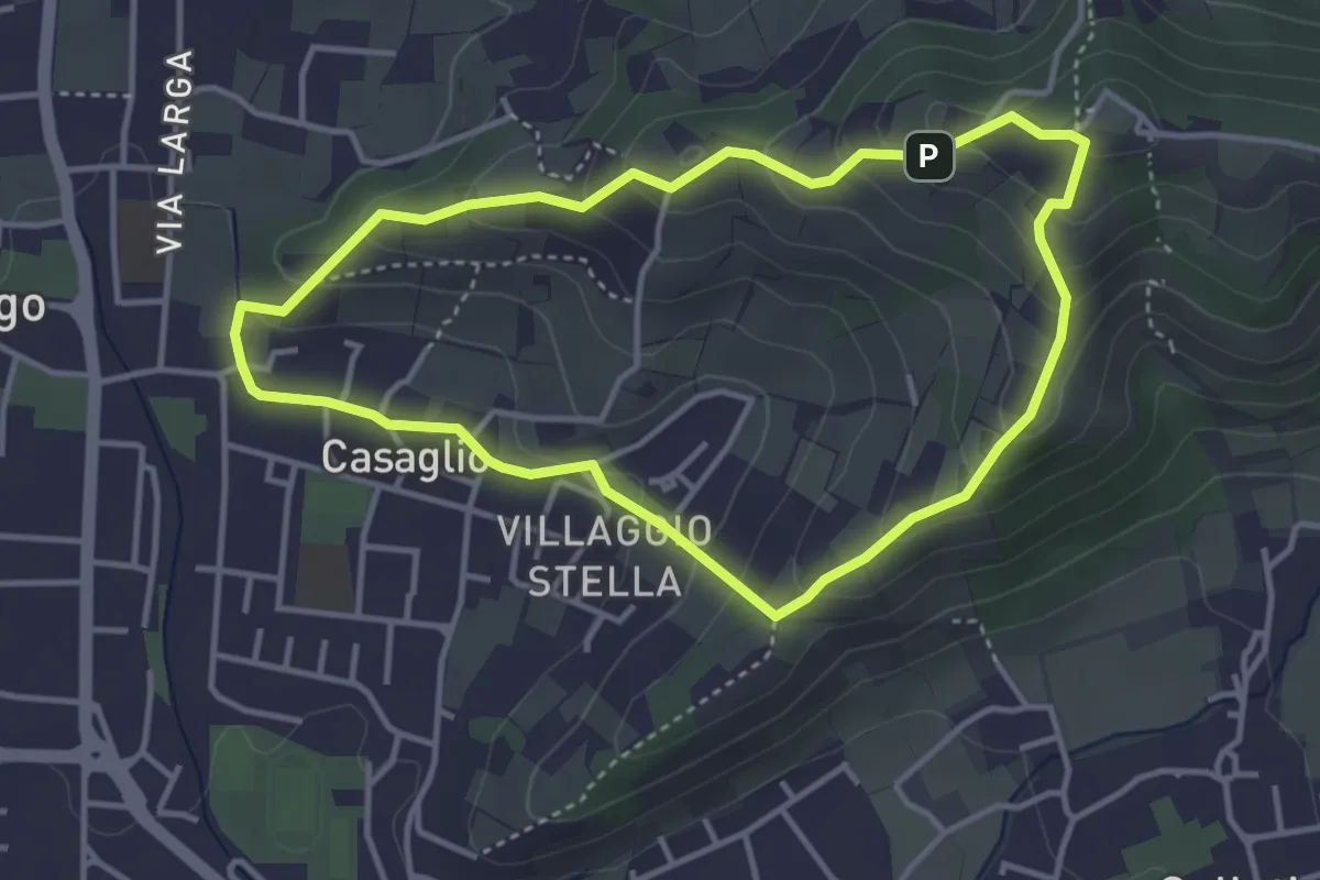
Easy · Trail
Via Crucis - San Rocco - Stella
3.7 km · ↑ 201 m · 1 h 21 min · 9 km away
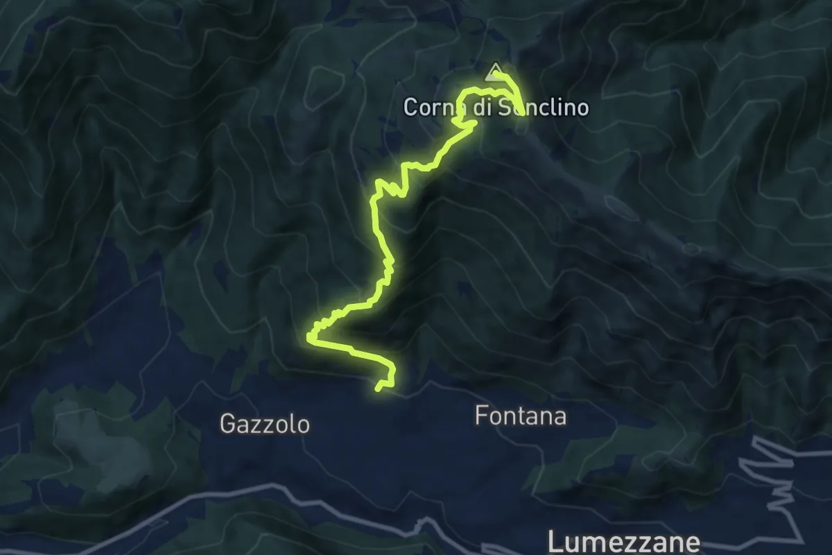
Demanding · Summit
Lumezzane (Pieve) – Corna di Sonclino
9.9 km · ↑ 853 m · 4 h 11 min · 9 km away
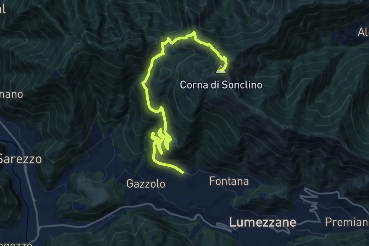
Demanding · Summit
Lumezzane (Pieve) – Corna di Sonclino
16.0 km · ↑ 1116 m · 6 h 11 min · 9 km away
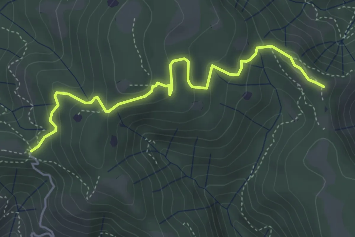
Easy · Summit
Vallio Terme (Barcolo) - Gavardo (Osteria Monte Magno)
4.7 km · ↑ 206 m · 1 h 33 min · 9 km away
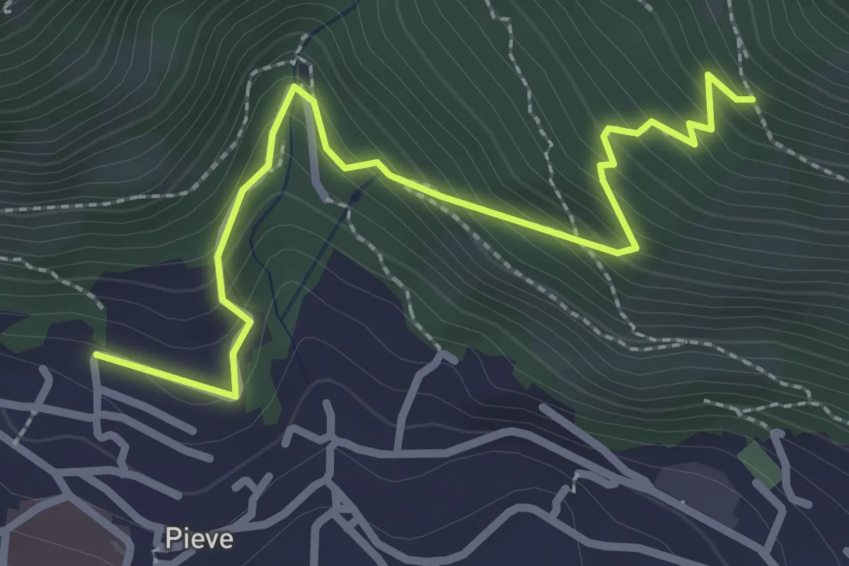
Medium · Trail
Lumezzane (Pieve) - Valle dei Fiori - Dossello
2.9 km · ↑ 292 m · 1 h 19 min · 9 km away
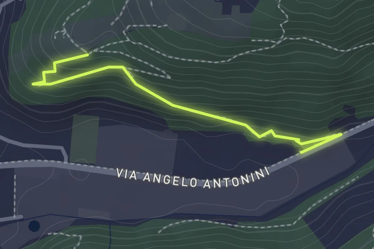
Easy · Trail
Sentiero di Mezzo
2.2 km · ↑ 171 m · 53 min · 9 km away
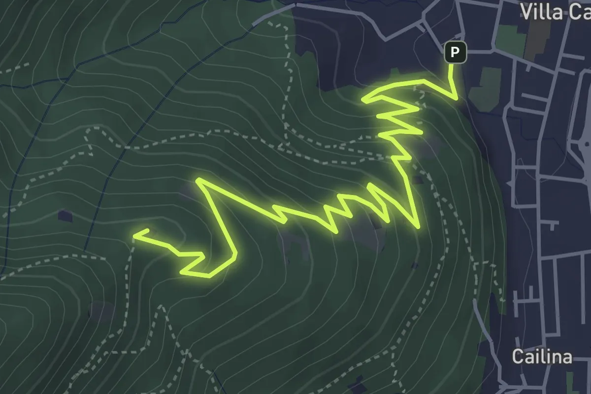
Medium · Summit
Villa Carcina – Sella dell'Oca
6.1 km · ↑ 364 m · 2 h 14 min · 9 km away
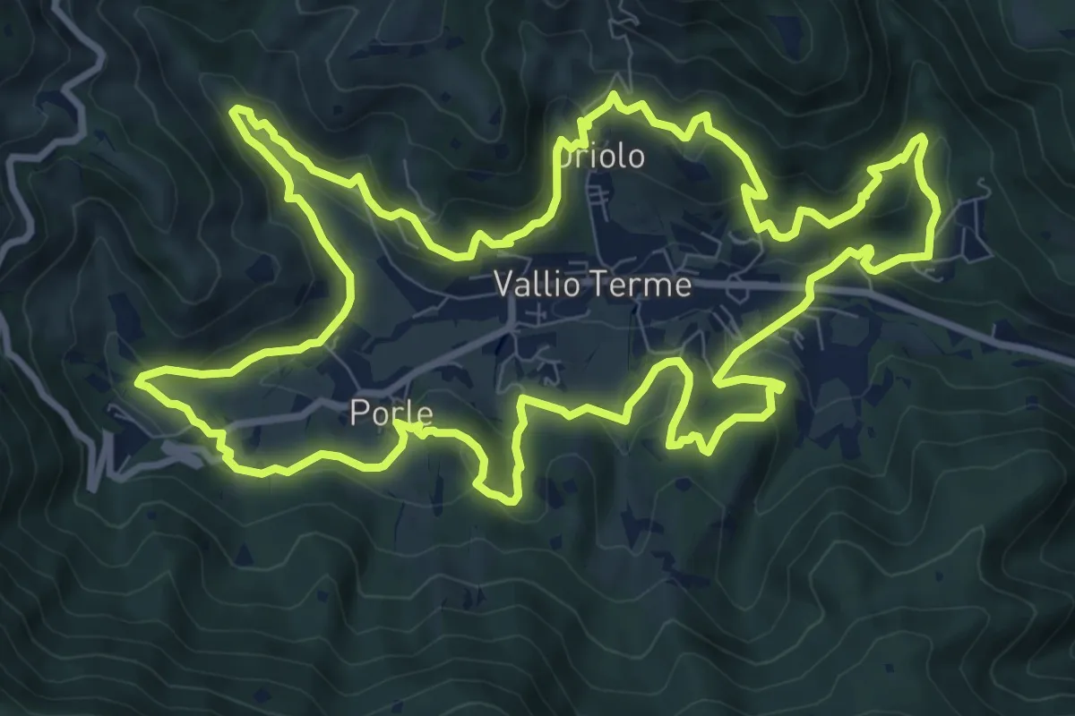
Medium · Trail
Giro delle contrade
11.6 km · ↑ 525 m · 4 h 2 min · 9 km away
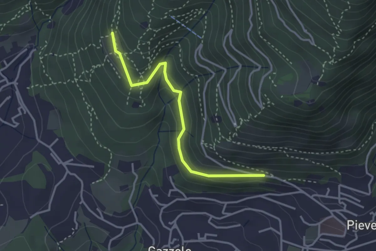
Easy · Trail
Lumezzane (Pieve) - Dosso Castolo
3.0 km · ↑ 153 m · 1 h 3 min · 9 km away
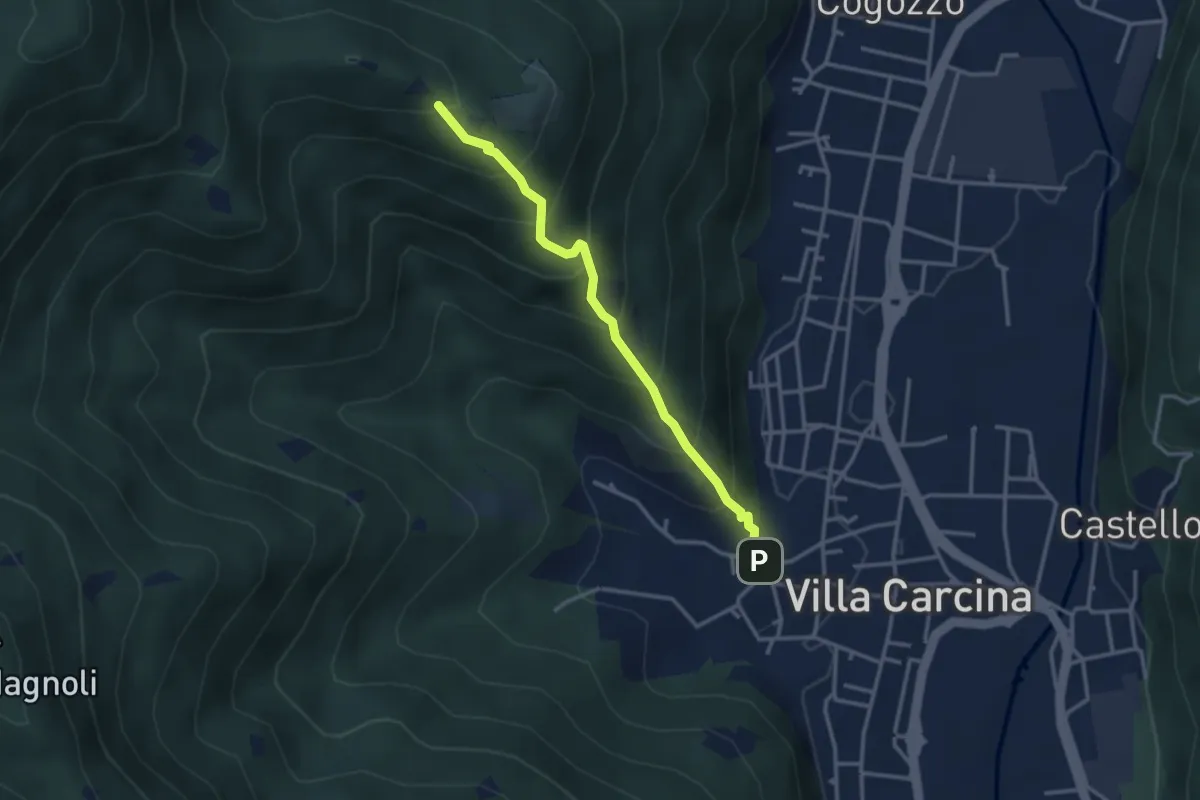
Medium · Trail
Villa Carcina - Campo Lupo
3.1 km · ↑ 389 m · 1 h 34 min · 9 km away
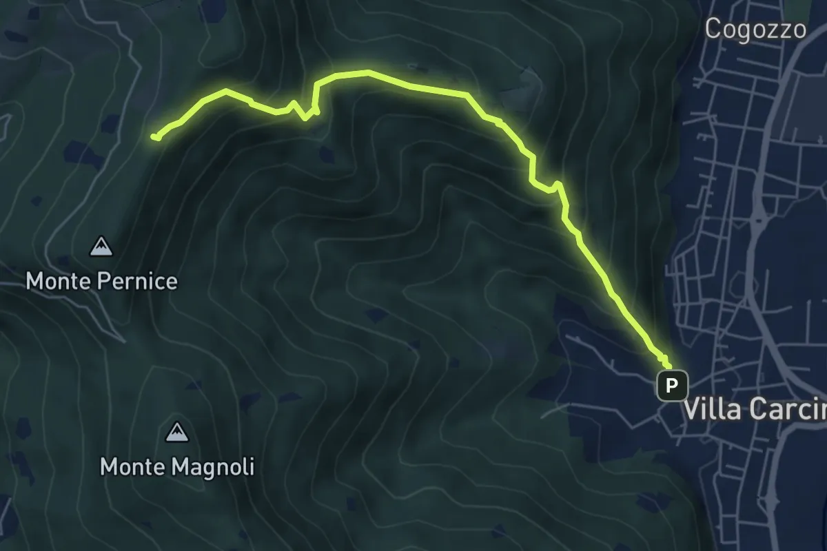
Medium · Trail
Sentiero Domenico Cancarini e Antonio Giubileo
6.1 km · ↑ 617 m · 2 h 46 min · 9 km away
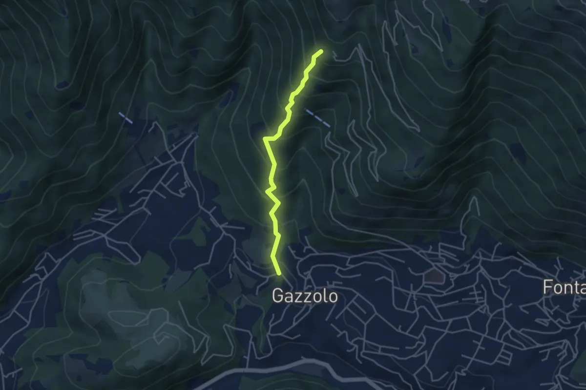
Medium · Trail
Lumezzane (Gazzolo) - Santella dei Giori
3.5 km · ↑ 418 m · 1 h 43 min · 9 km away
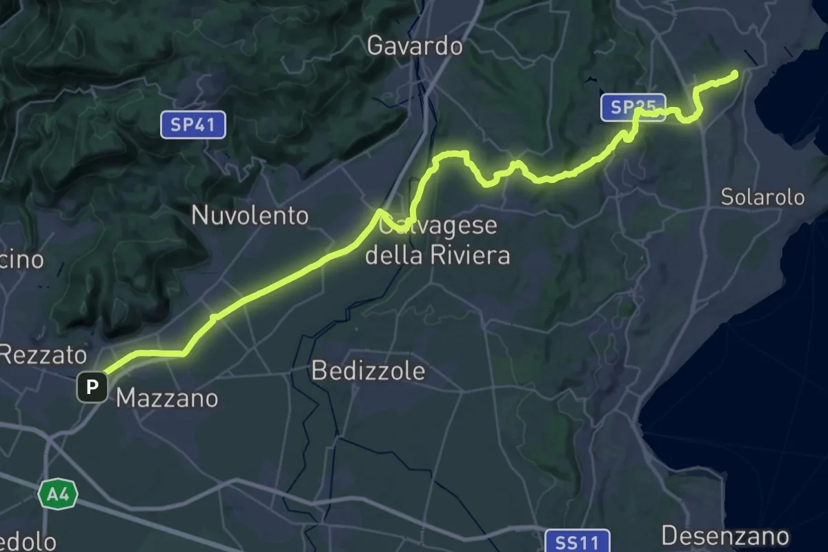
Demanding · Summit
Via della Valtenesi
46.5 km · ↑ 468 m · 11 h 59 min · 9 km away
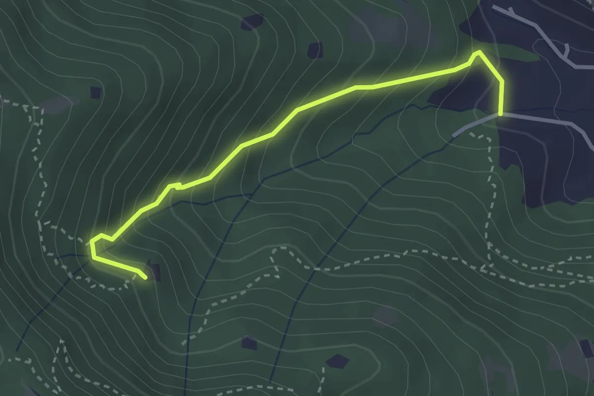
Medium · Trail
Villa Carcina (Villa) - Roccolo del Prete
2.9 km · ↑ 320 m · 1 h 23 min · 10 km away
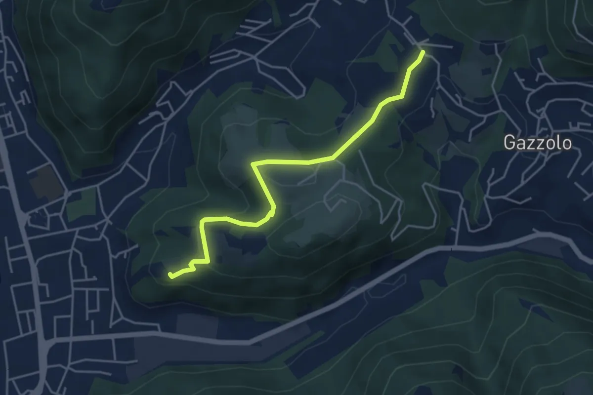
Medium · Trail
Sarezzo (Via Cagnaghe) - Castello
4.1 km · ↑ 134 m · 1 h 15 min · 10 km away
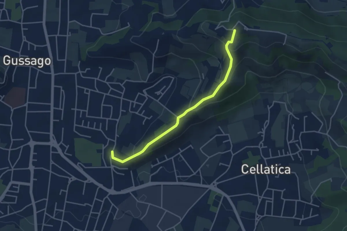
Easy · Trail
Cellatica (Casaglio) – Santuario della Stella
3.6 km · ↑ 213 m · 1 h 19 min · 10 km away
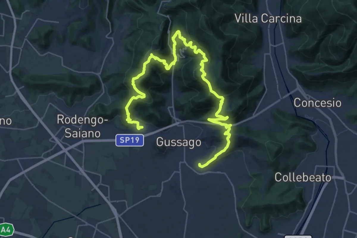
Demanding · Summit
Giro delle Colline
16.7 km · ↑ 1170 m · 6 h 43 min · 10 km away
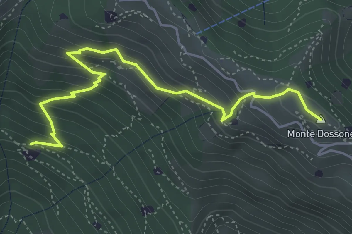
Medium · Summit
Lumezzane (Cascina Al Colonel) - Monte Dossone
4.3 km · ↑ 469 m · 2 h 3 min · 10 km away
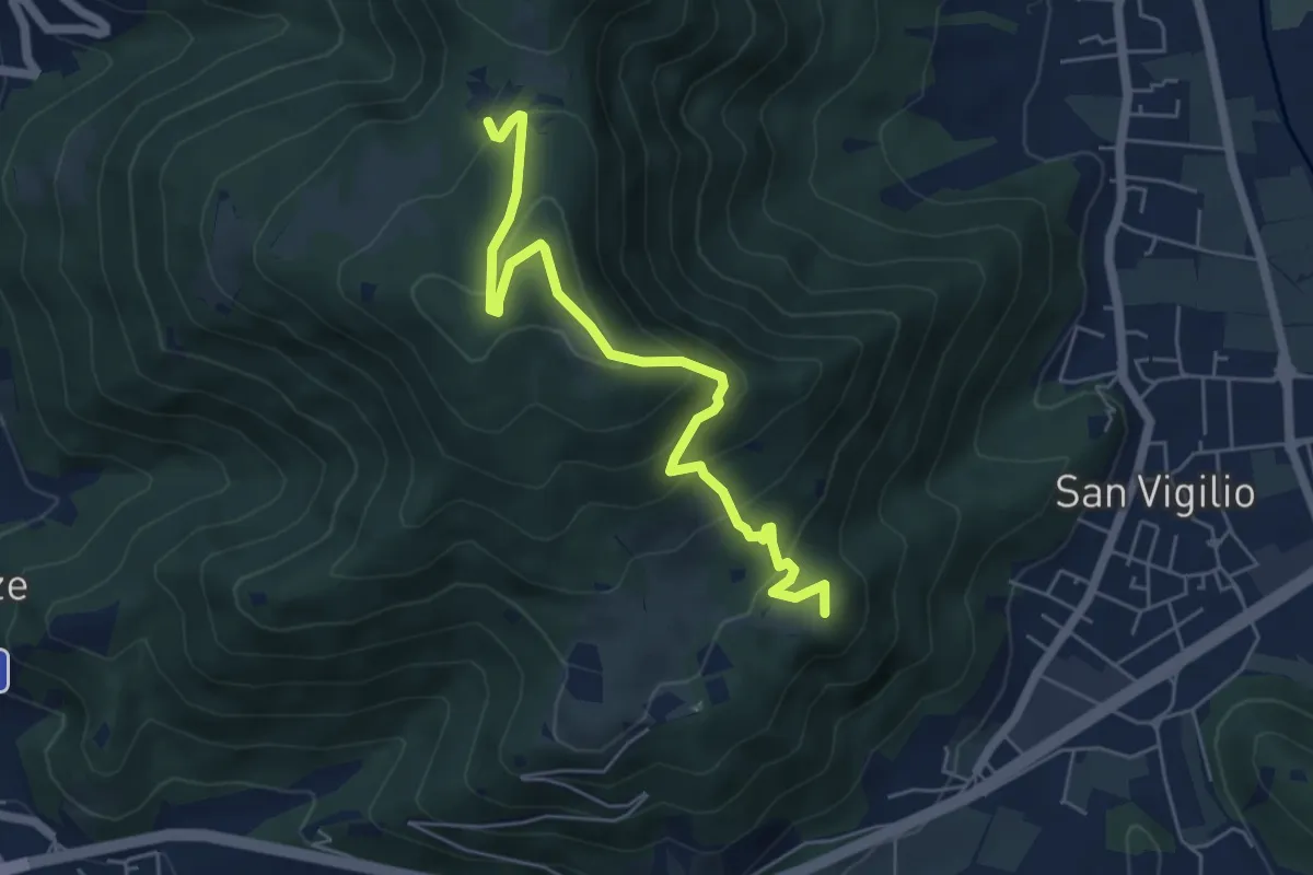
Medium · Summit
Concesio (San Vigilio) – Quarone di Sopra
5.8 km · ↑ 392 m · 2 h 13 min · 10 km away
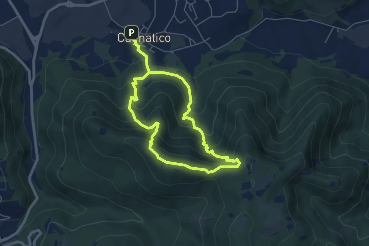
Medium · Summit
Odolo (Cagnatico) – Cagnatico
3.9 km · ↑ 360 m · 1 h 44 min · 10 km away
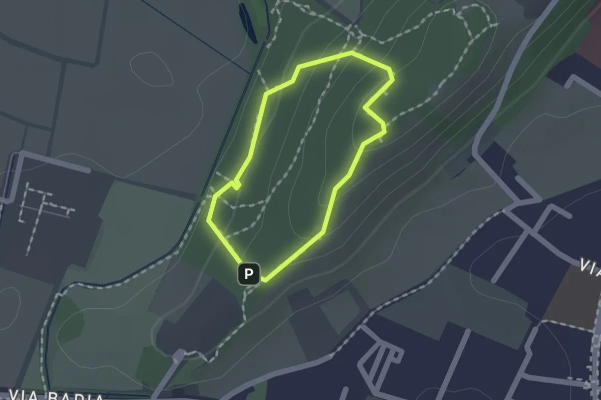
Easy · Trail
Sentiero per non vedenti (Colle di Sant'Anna)
1.1 km · ↑ 55 m · 23 min · 10 km away
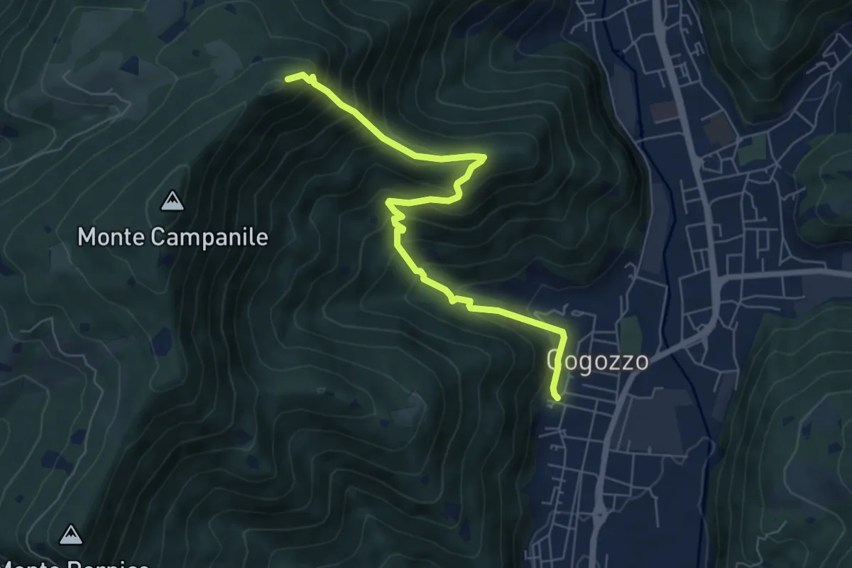
Demanding · Summit
Villa Carcina – Pizzo Cornacchia
6.7 km · ↑ 672 m · 3 h 2 min · 10 km away
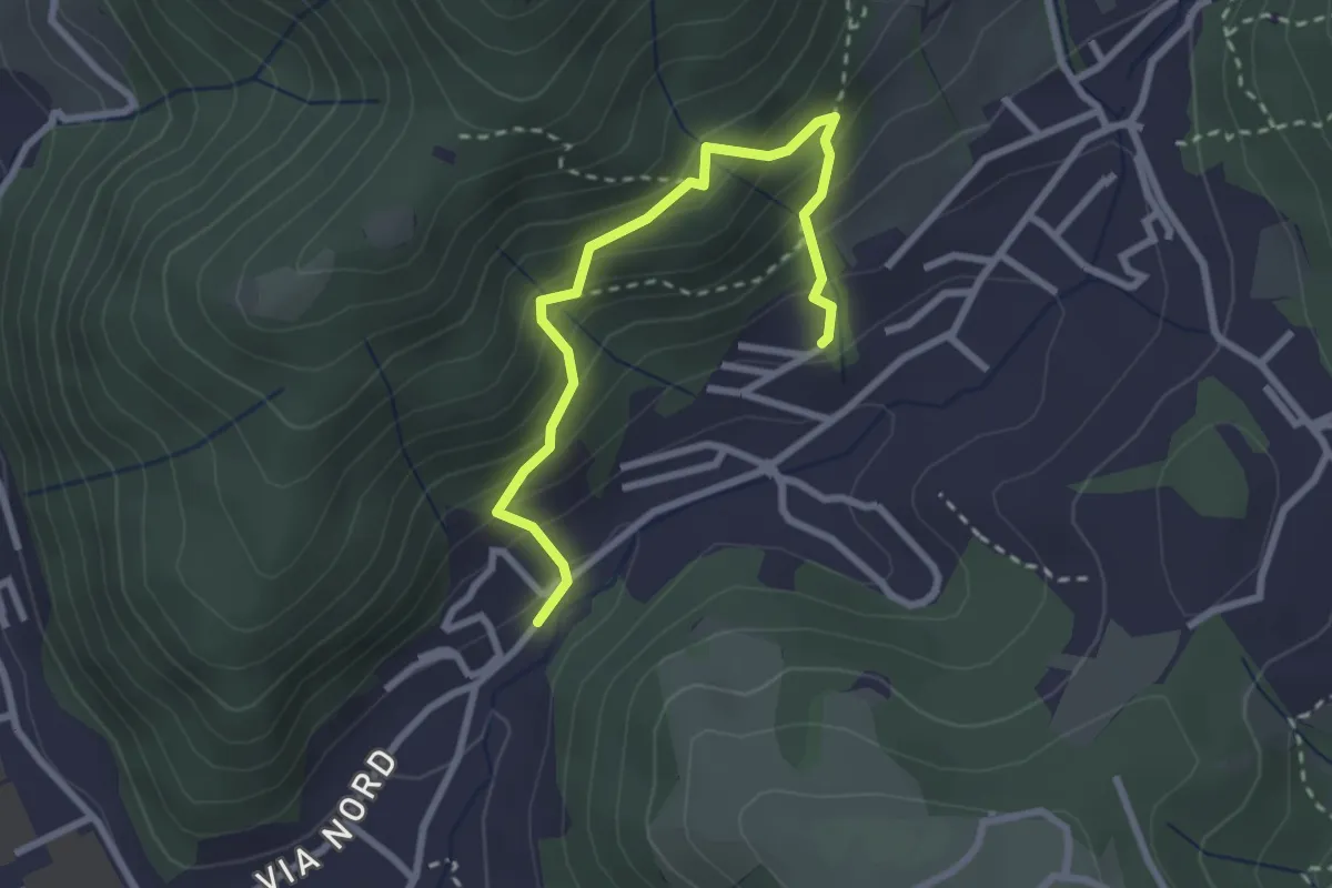
Medium · Trail
Sentiero del Dosalì
2.9 km · ↑ 340 m · 1 h 25 min · 10 km away
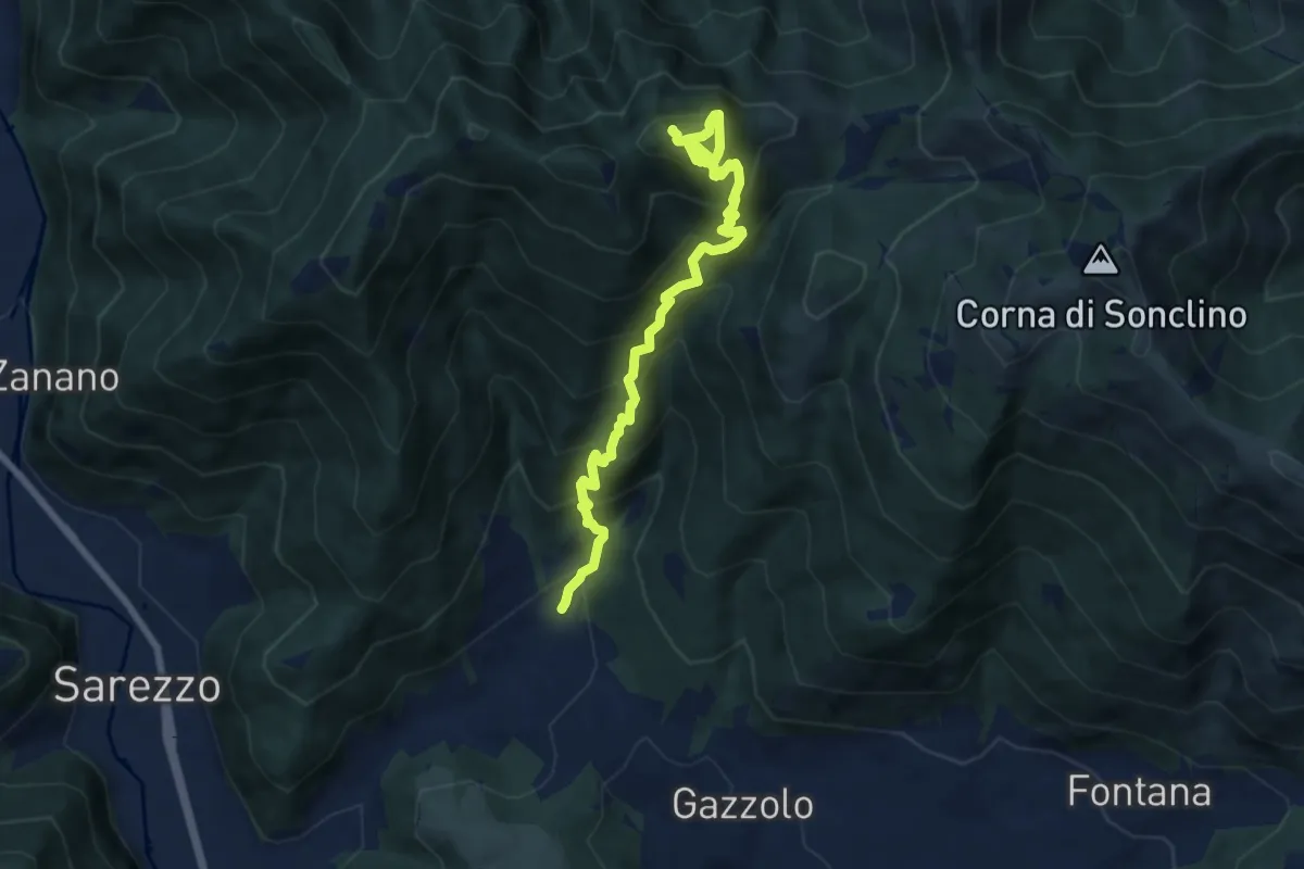
Demanding · Summit
Sarezzo (Santella Valle di Sarezzo) – Monte Sant'Emiliano
8.1 km · ↑ 962 m · 4 h · 10 km away
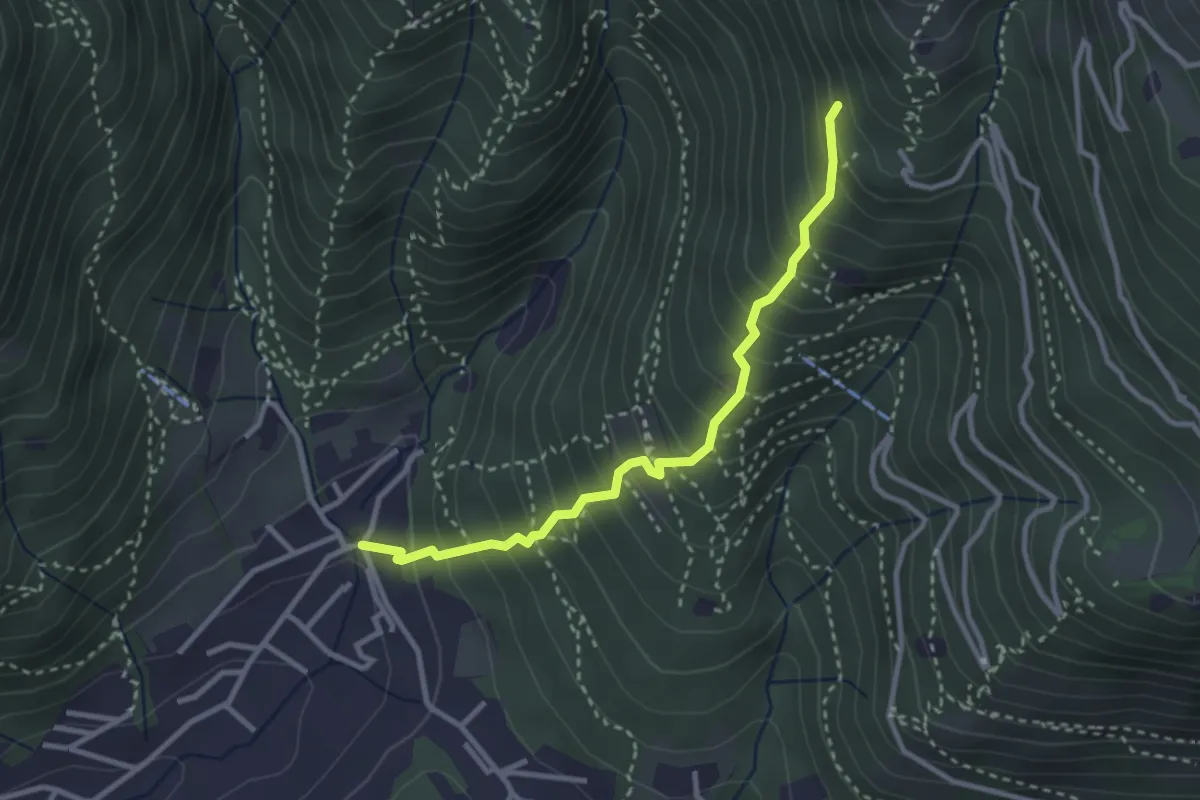
Medium · Trail
Sarezzo (La Santella) - Via Antica
3.0 km · ↑ 421 m · 1 h 38 min · 10 km away
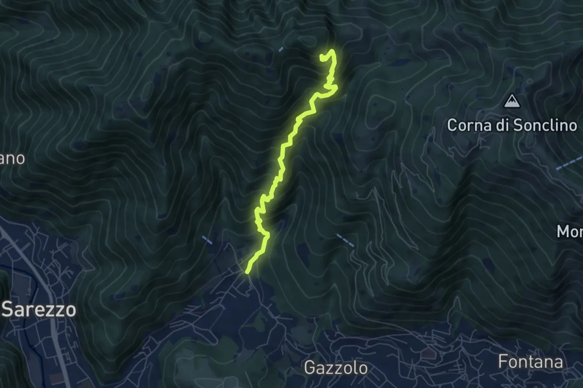
Medium · Cabin
Sarezzo (La Cava) - Sant'Emiliano
6.3 km · ↑ 758 m · 3 h 8 min · 10 km away
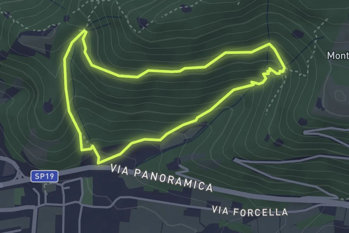
Medium · Trail
Sentiero della Val Volpera
3.0 km · ↑ 258 m · 1 h 18 min · 10 km away
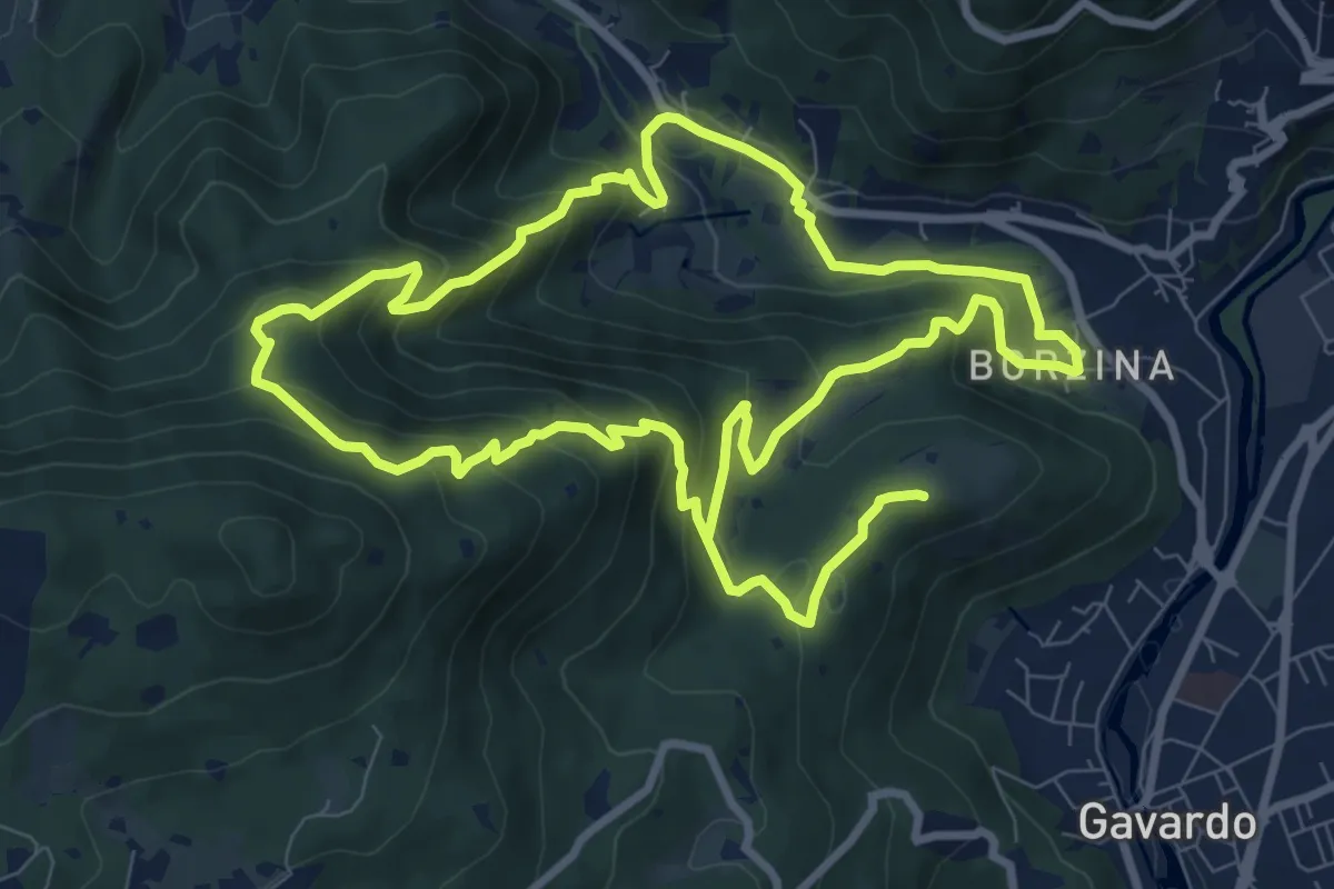
Demanding · Summit
Gavardo (Via Signurì) – Gavardo
18.2 km · ↑ 1056 m · 6 h 35 min · 10 km away
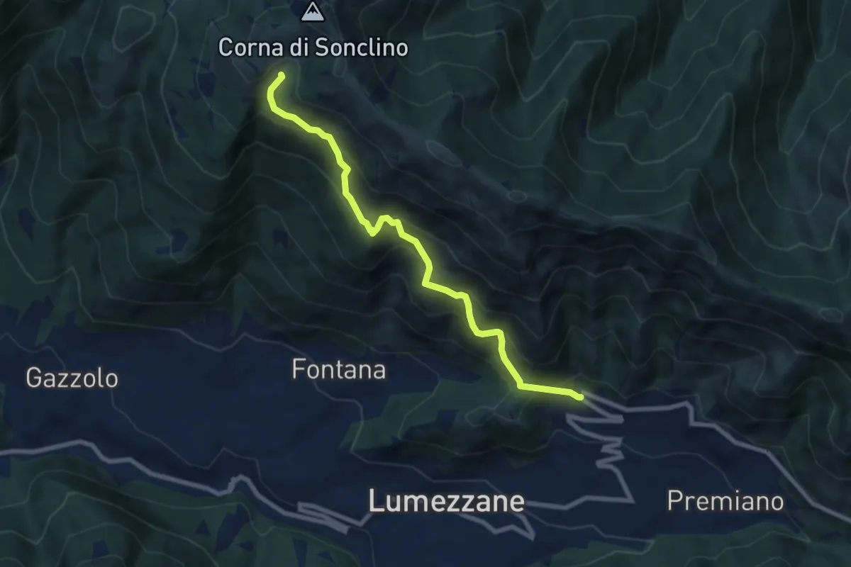
Medium · Trail
Lumezzane (Ver) – Malga Artecle
7.2 km · ↑ 618 m · 3 h 2 min · 10 km away
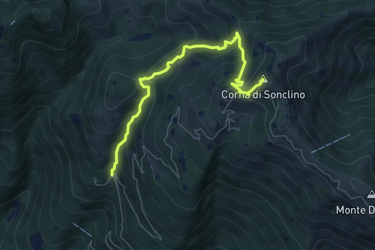
Medium · Summit
Lumezzane (Buca di Porticelle) - Corna di Sonclino
6.1 km · ↑ 583 m · 2 h 41 min · 10 km away