Trails near Negrar di Valpolicella
98 hikes starting within 15 km, nearest first.
Nearest first, page 2 of 3
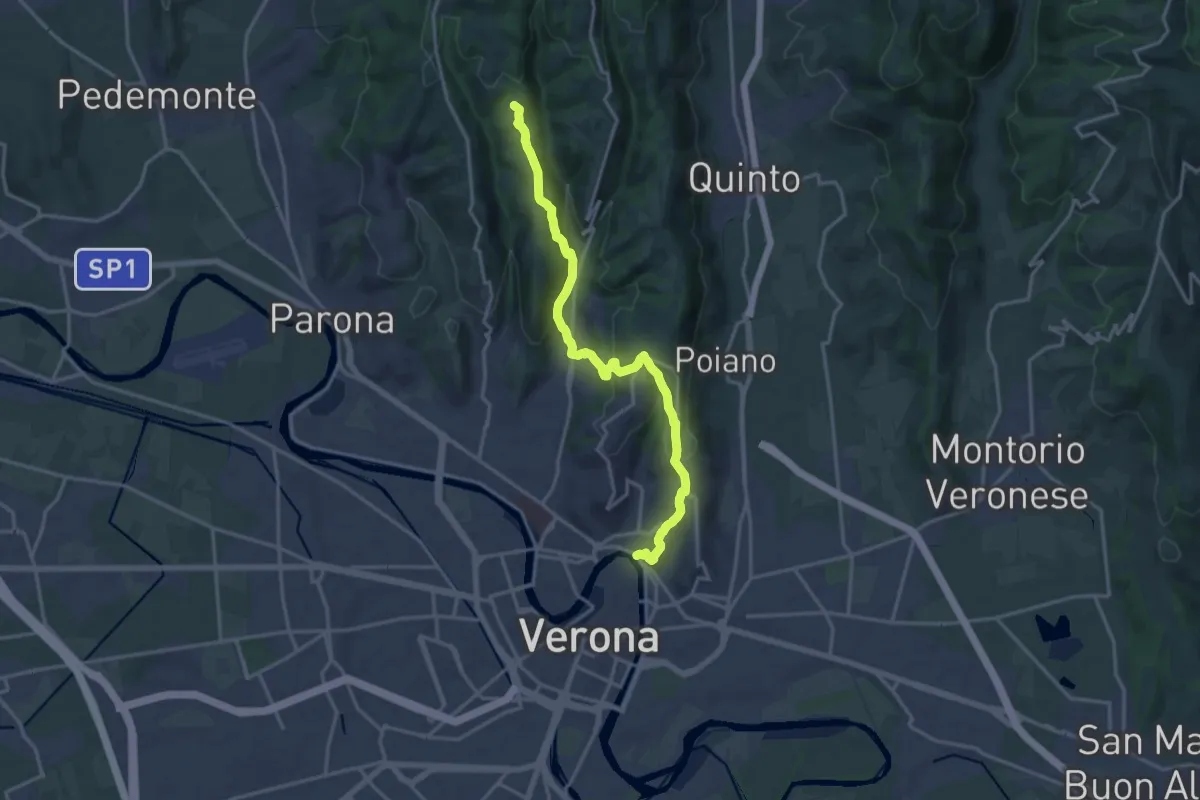
Medium · Summit
Verona Ponte Pietra – Montecchio
17.3 km · ↑ 721 m · 5 h 38 min · 10 km away
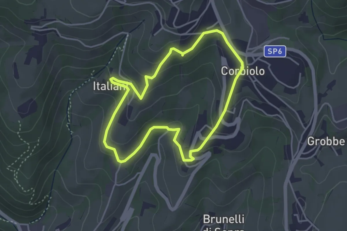
Easy · Trail
Percorso n. 10
3.4 km · ↑ 143 m · 1 h 10 min · 10 km away
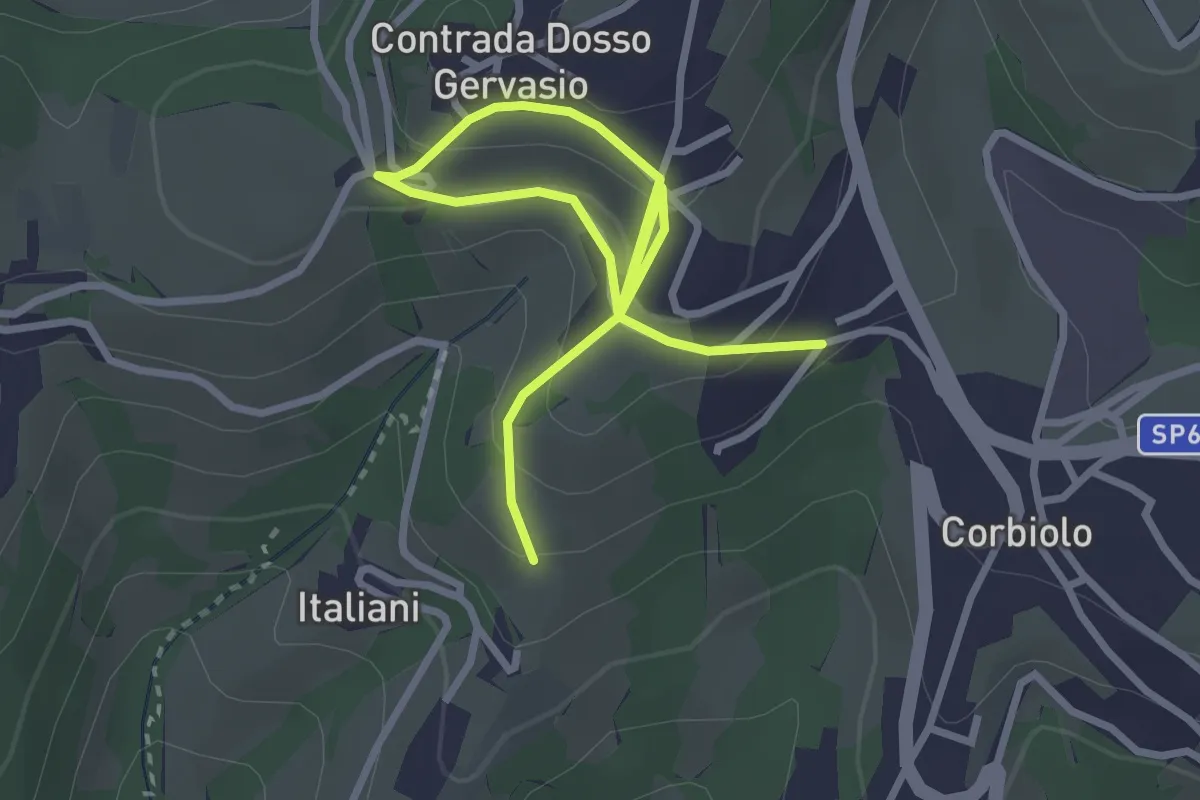
Easy · Trail
Percorso n. 10 variante
4.0 km · ↑ 221 m · 1 h 25 min · 11 km away
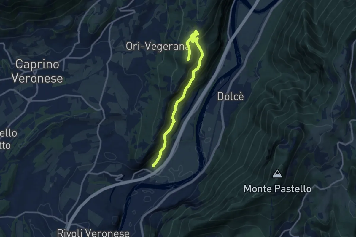
Medium · Summit
Canale-Monte Cordespino
9.4 km · ↑ 646 m · 3 h 36 min · 11 km away
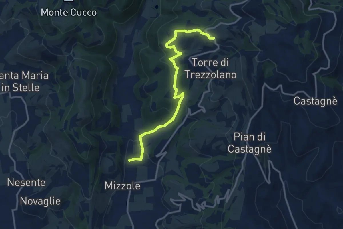
Demanding · Trail
Mizzole – Trezzolano
9.5 km · ↑ 344 m · 2 h 59 min · 11 km away
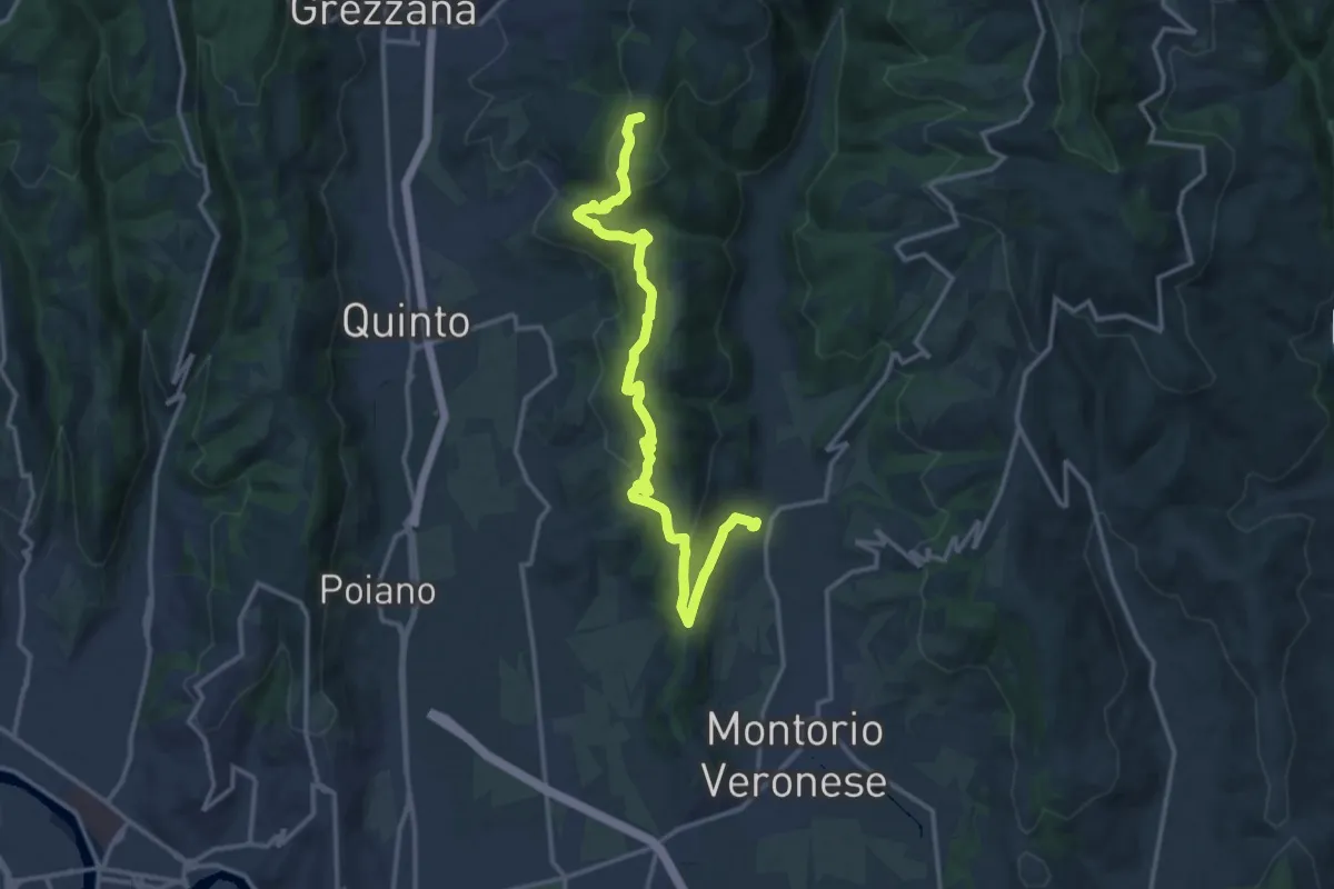
Medium · Summit
Mizzole – Croce di Romagnano
16.1 km · ↑ 537 m · 4 h 58 min · 11 km away
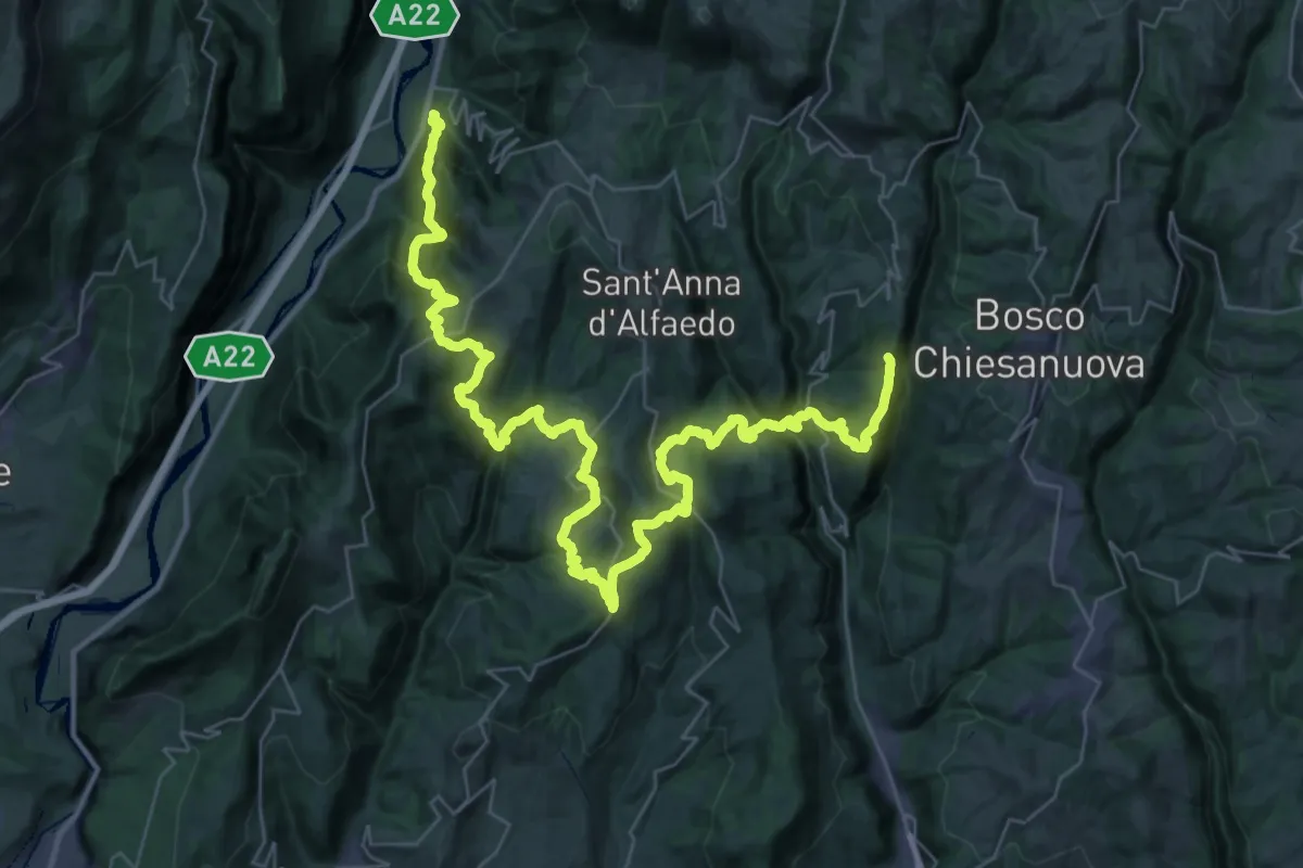
Demanding · Trail
loc. Genderli – Peri
26.6 km · ↑ 1319 m · 9 h 54 min · 11 km away
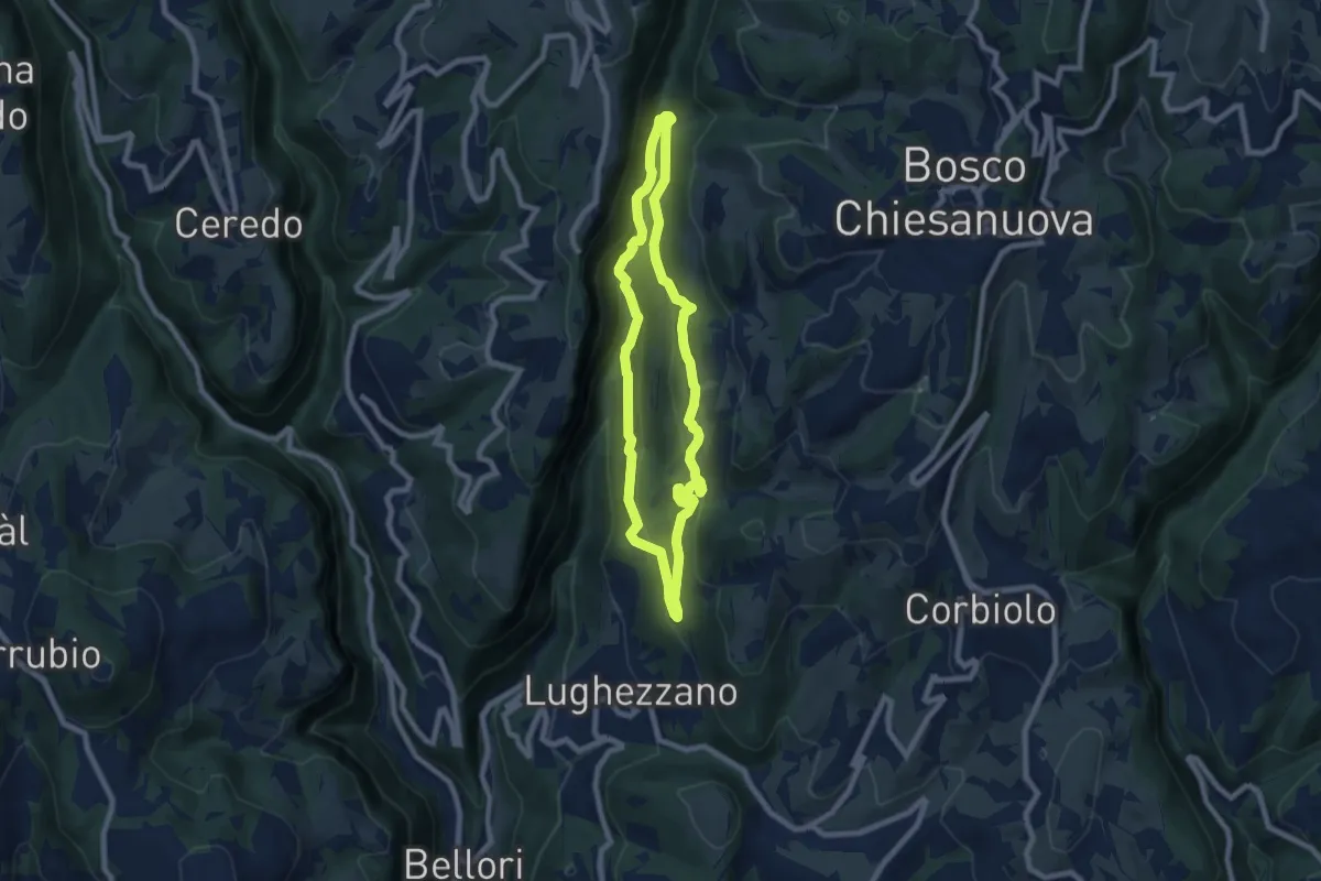
Demanding · Trail
Percorso n. 11
7.0 km · ↑ 291 m · 2 h 23 min · 11 km away
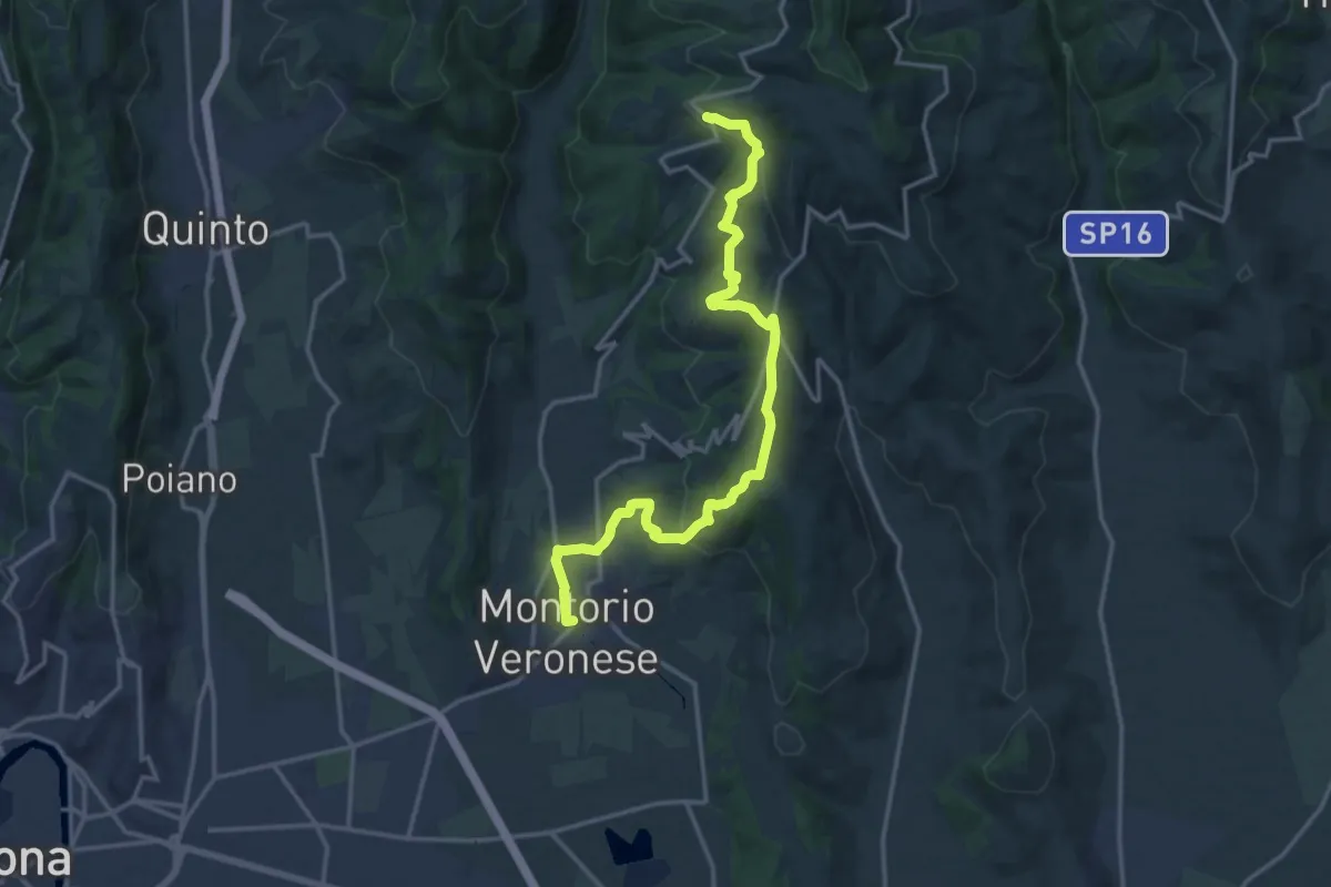
Medium · Trail
Montorio - Trezzolano
17.5 km · ↑ 613 m · 5 h 28 min · 11 km away
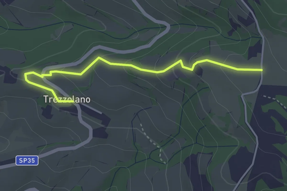
Easy · Trail
Trezzolano – Caiò
3.5 km · ↑ 155 m · 1 h 9 min · 11 km away
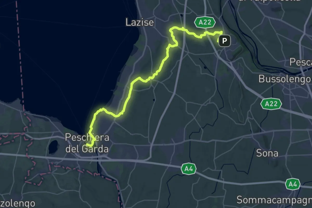
Medium · Trail
Pastrengo – Volta Mantovana
17.2 km · ↑ 105 m · 4 h 35 min · 12 km away
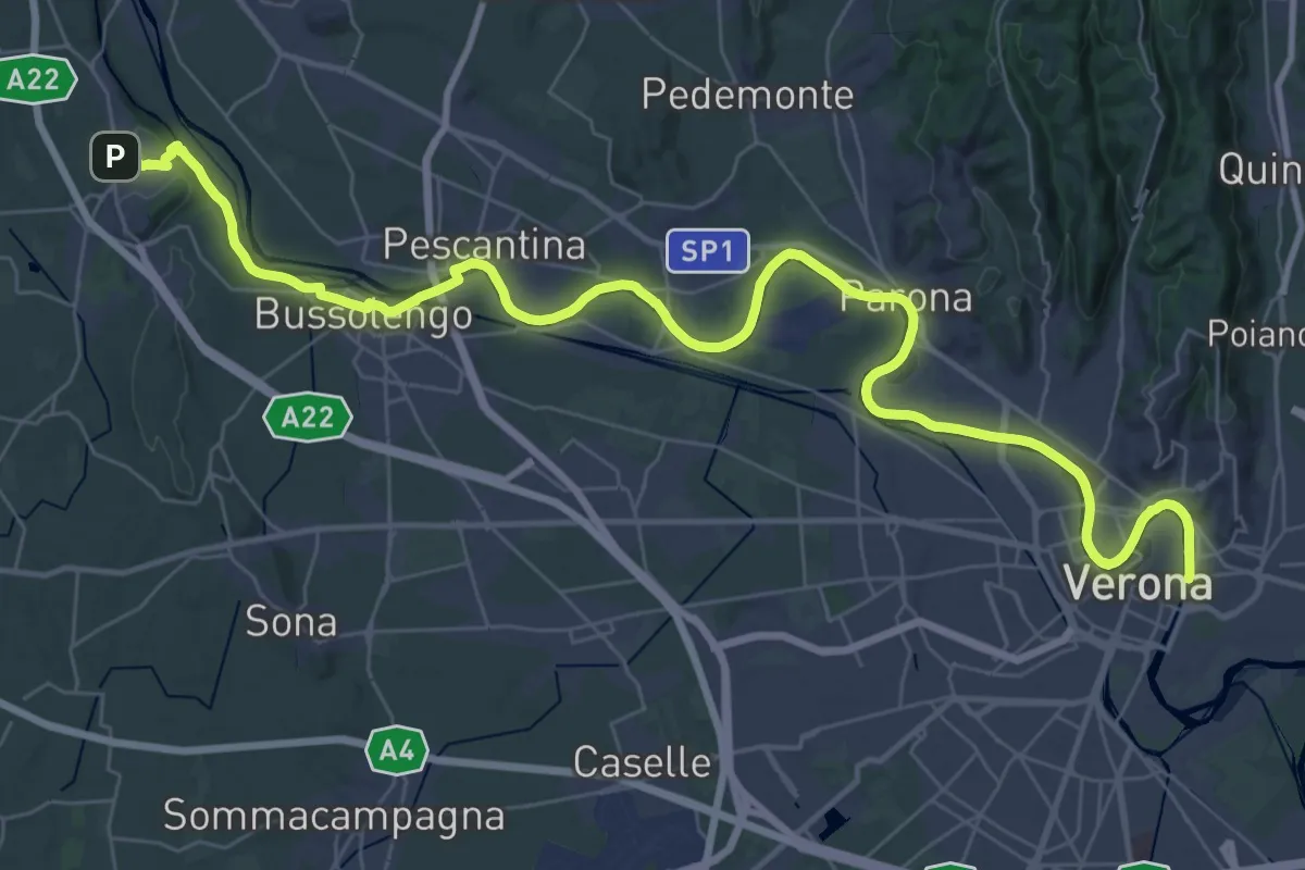
Demanding · Trail
Verona – Pastrengo
25.2 km · ↑ 50 m · 6 h 28 min · 12 km away
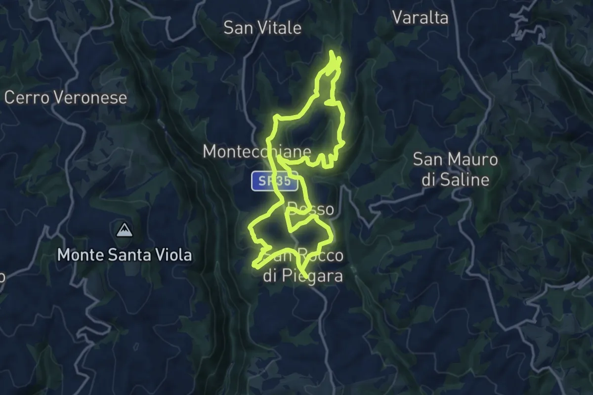
Medium · Summit
Percorso Rosso
12.5 km · ↑ 402 m · 4 h · 12 km away
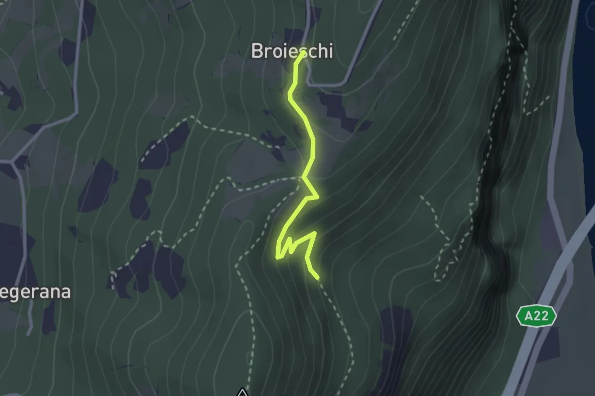
Easy · Trail
Bivio sent. n. 71 – Broieschi
2.1 km · ↑ 107 m · 44 min · 12 km away
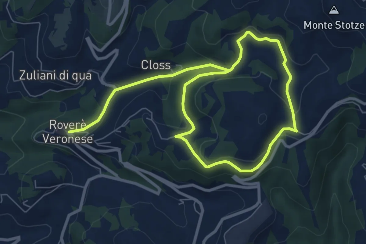
Easy · Trail
Giro Viola del Capriolo
5.1 km · ↑ 245 m · 1 h 44 min · 12 km away
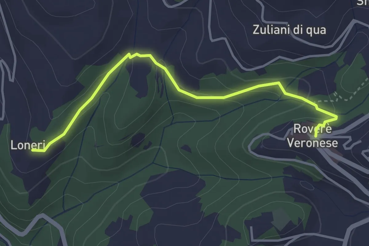
Easy · Trail
Giro Blu Loneri
1.8 km · ↑ 11 m · 31 min · 12 km away
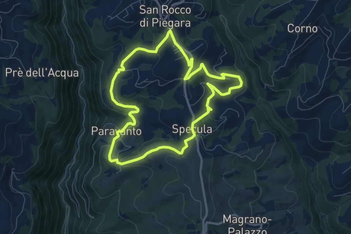
Easy · Trail
Percorso Giallo
7.3 km · ↑ 239 m · 2 h 20 min · 12 km away
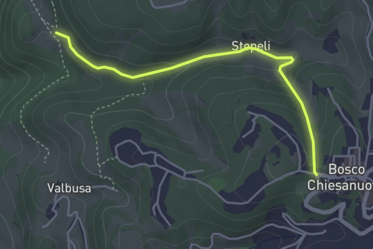
Medium · Trail
Percorso n. 4a
3.7 km · ↑ 135 m · 1 h 9 min · 12 km away
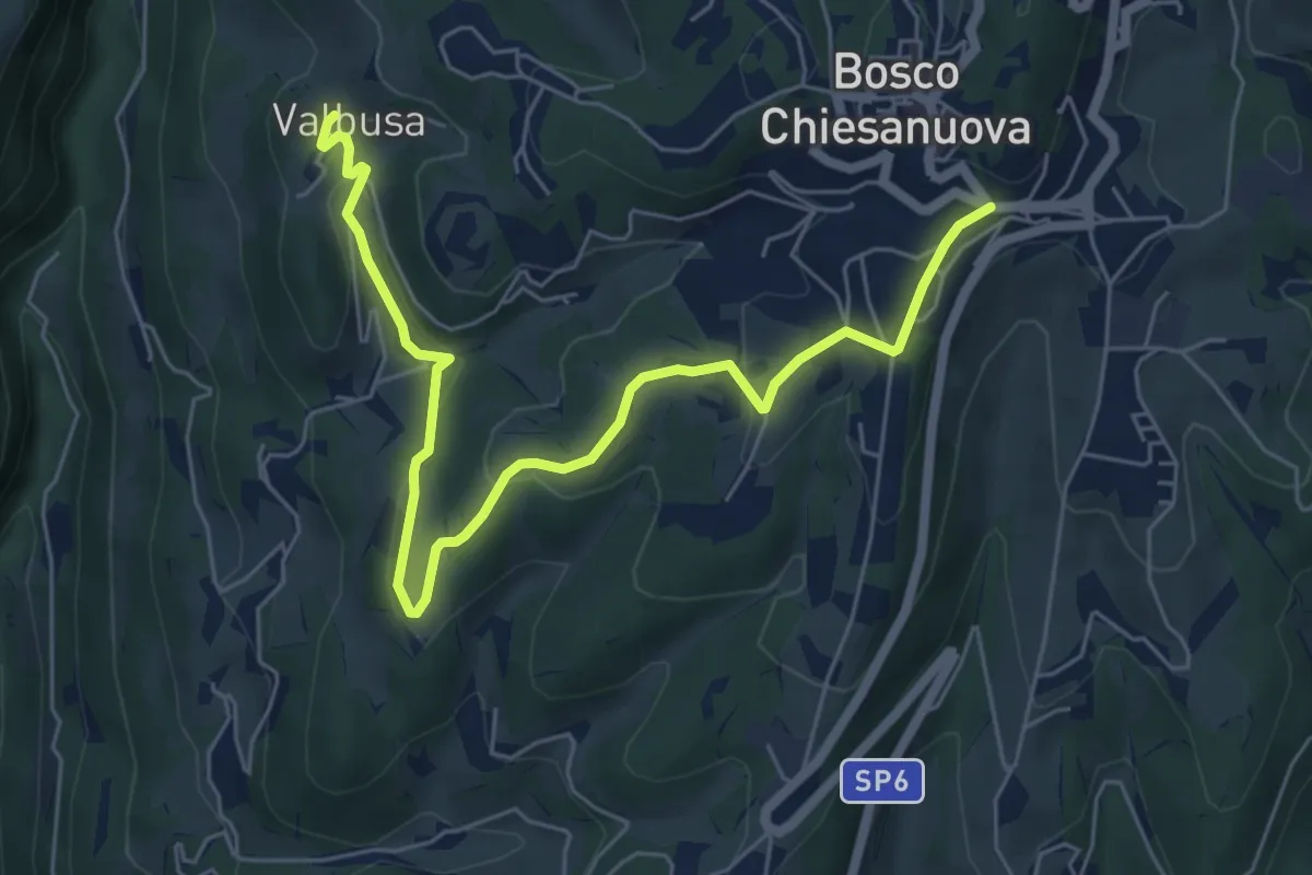
Easy · Trail
Percorso n. 4b
7.1 km · ↑ 199 m · 2 h 6 min · 12 km away
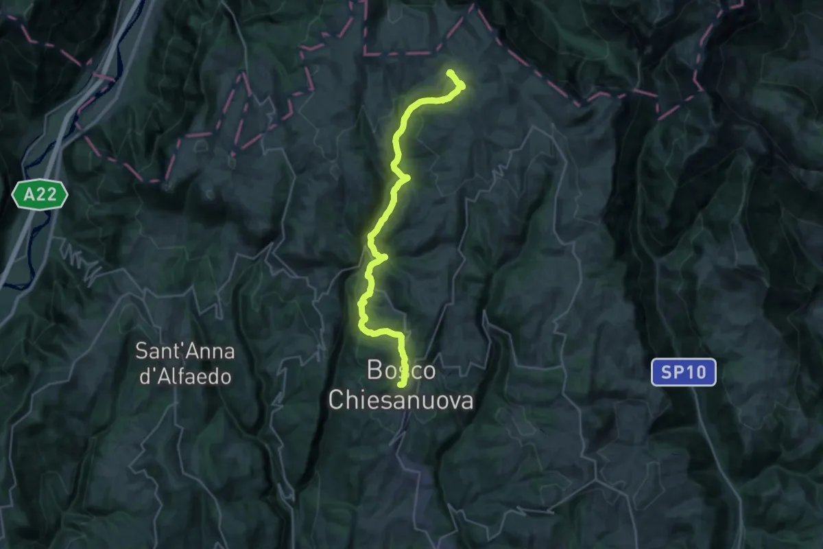
Demanding · Cabin
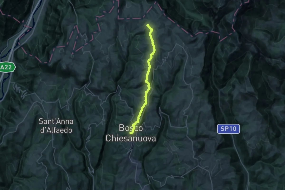
Bosco Chiesanuova - Rifugio Podestaria
13.0 km · ↑ 824 m · 4 h 46 min · 12 km away
Demanding · Cabin
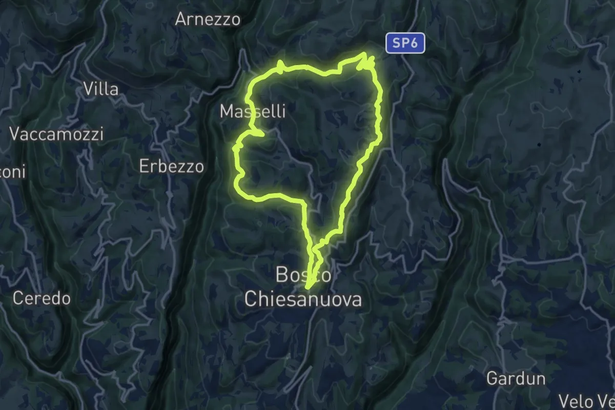
Bosco Chiesanuova – Rifugio Podestaria inn. sent. 255
21.8 km · ↑ 815 m · 6 h 55 min · 12 km away
Medium · Trail
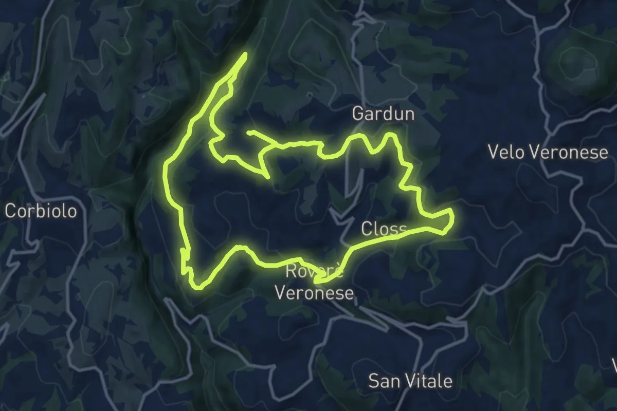
Percorso n. 3
12.9 km · ↑ 480 m · 4 h 17 min · 12 km away
Medium · Trail
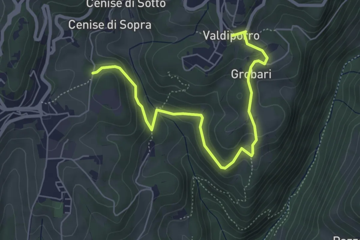
Giro Vajo Squaranto
12.1 km · ↑ 427 m · 3 h 58 min · 13 km away
Medium · Trail
Percorso n. 5b
5.9 km · ↑ 276 m · 1 h 59 min · 13 km away
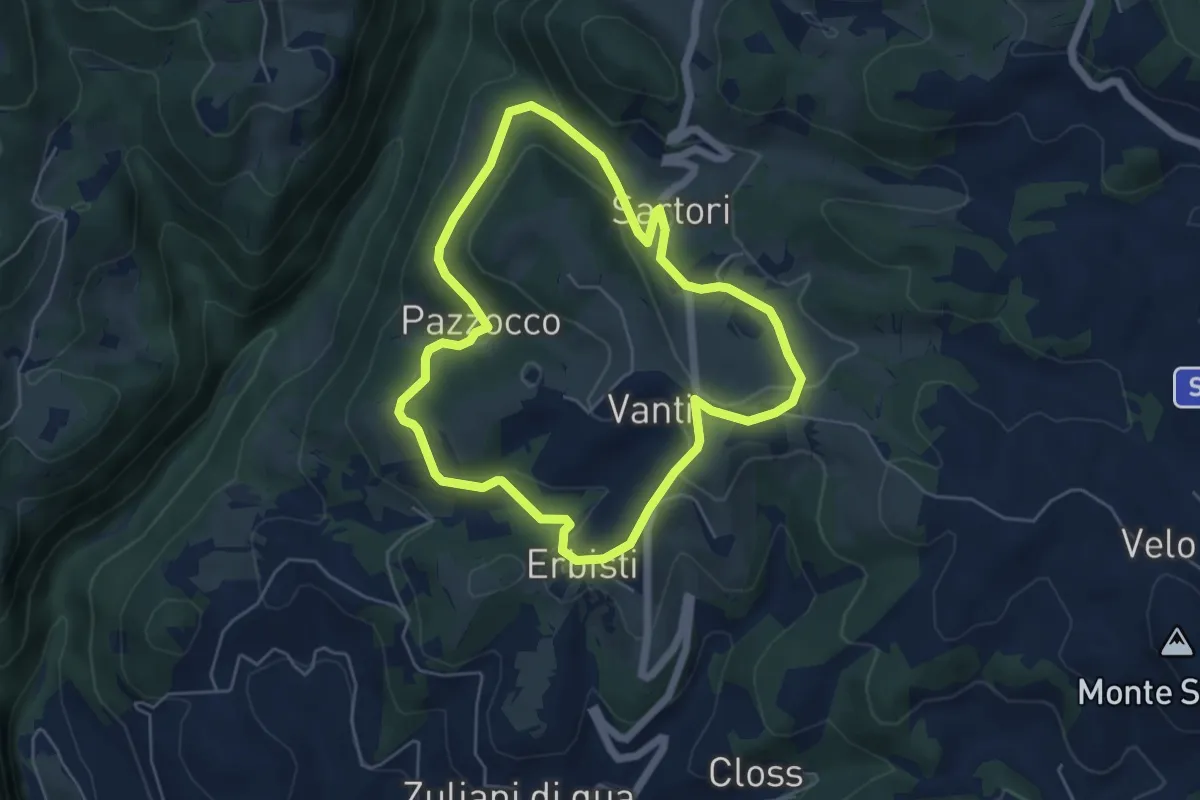
Easy · Trail
Sentiero Pazzocco Sartori
5.1 km · ↑ 149 m · 1 h 36 min · 13 km away
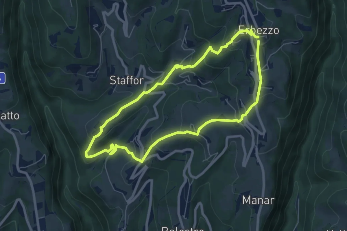
Medium · Trail
Itinerario Giallo
5.5 km · ↑ 319 m · 2 h 4 min · 13 km away
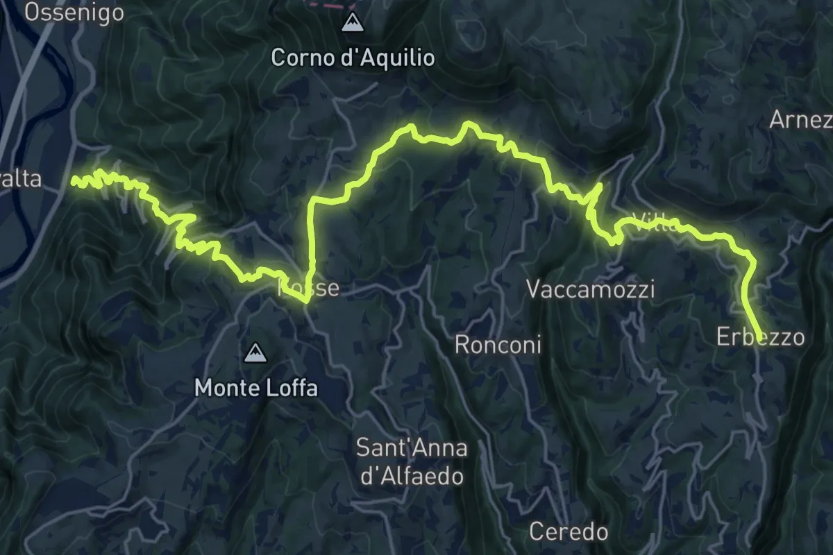
Demanding · Trail
Dorsale Media della Lessinia - Tappa 3
15.0 km · ↑ 350 m · 4 h 59 min · 13 km away
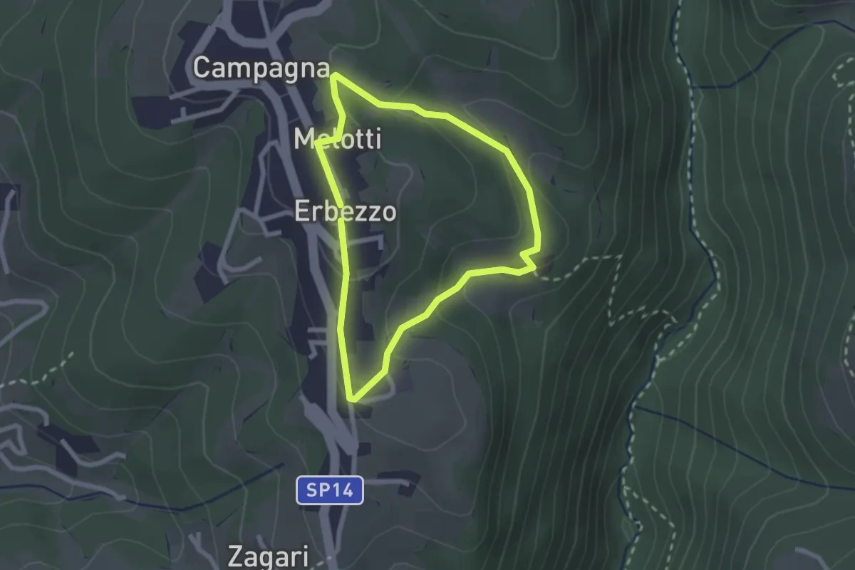
Medium · Trail
Itinerario Viola
1.9 km · ↑ 69 m · 38 min · 13 km away
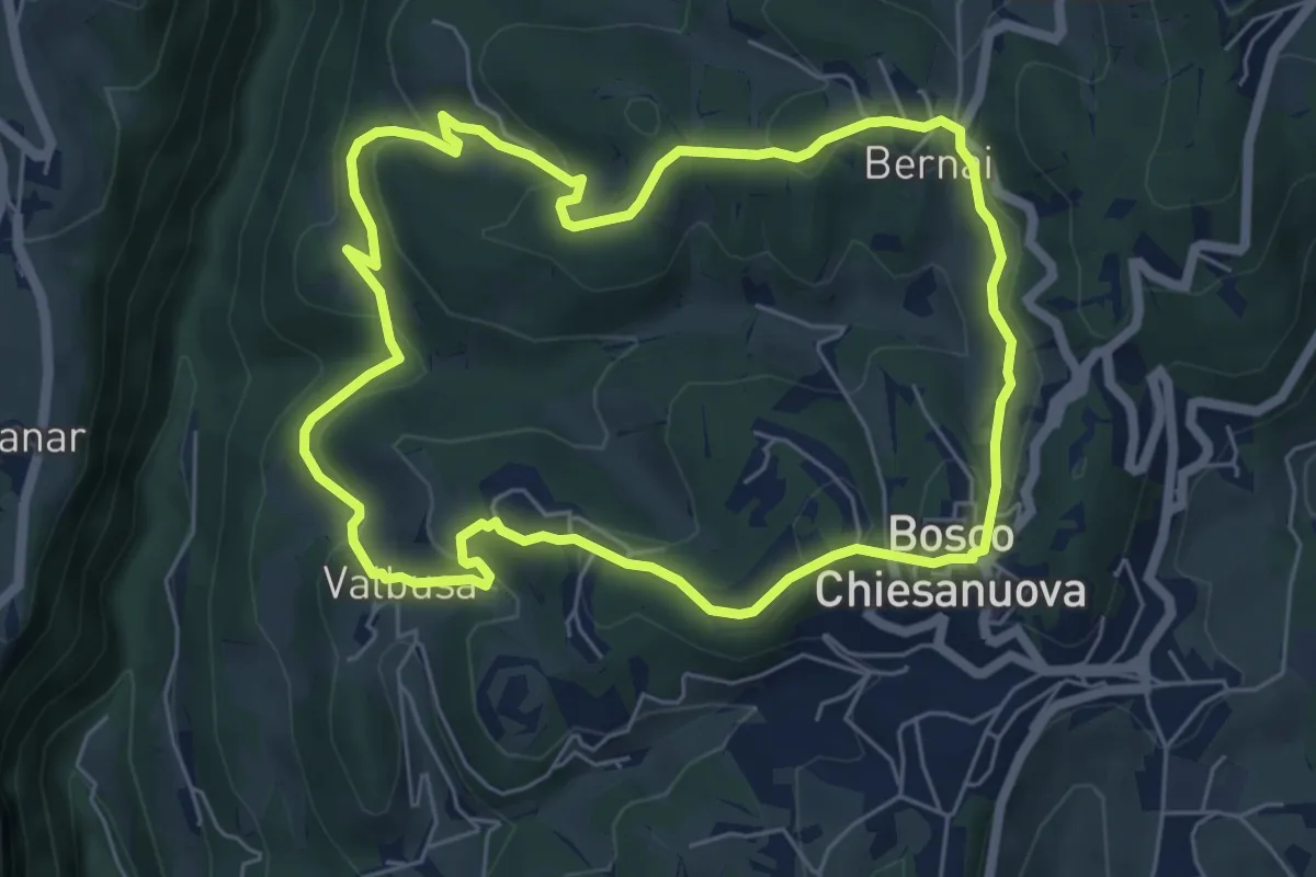
Medium · Trail
Percorso n. 4
6.1 km · ↑ 256 m · 2 h 5 min · 13 km away
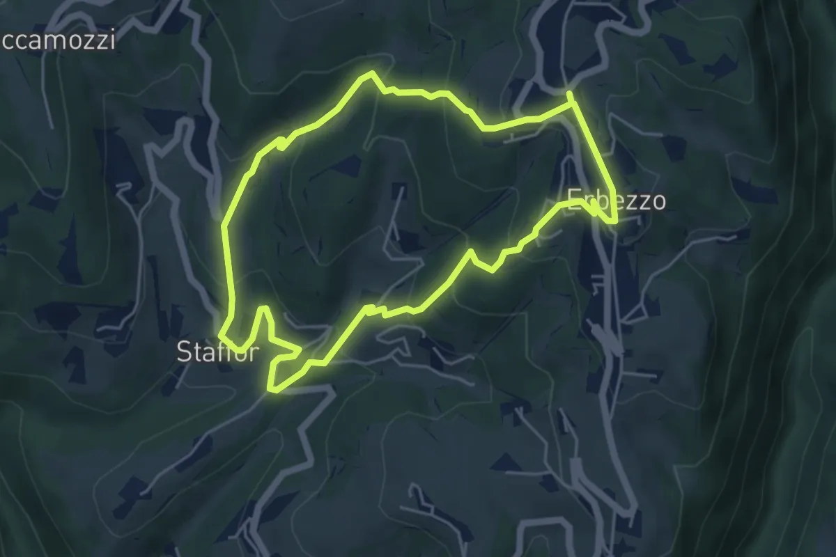
Medium · Trail
Itinerario Arancio
4.7 km · ↑ 275 m · 1 h 46 min · 13 km away
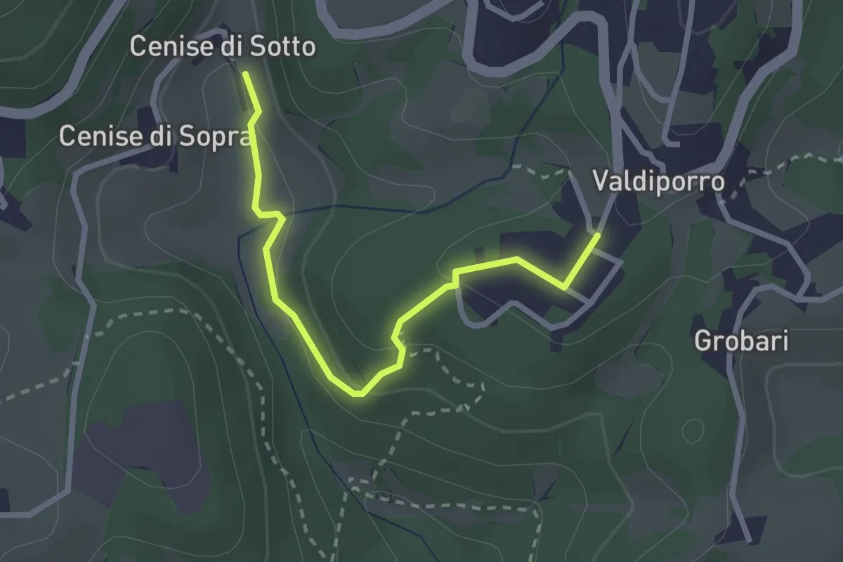
Medium · Trail
Percorso n. 5a
2.4 km · ↑ 95 m · 47 min · 14 km away
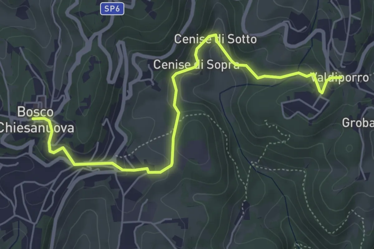
Medium · Trail
Percorso n. 5
5.9 km · ↑ 263 m · 1 h 58 min · 14 km away
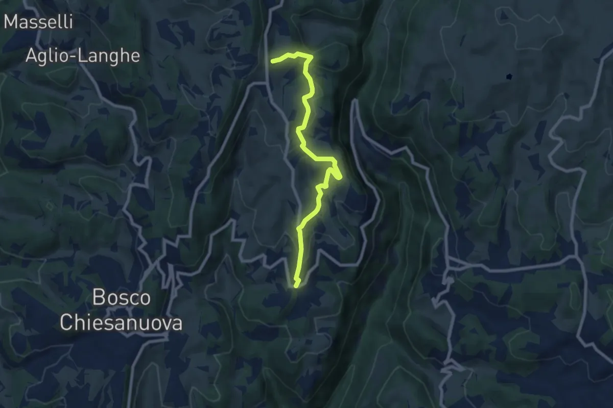
Medium · Trail
Percorso n. 6
7.1 km · ↑ 321 m · 2 h 22 min · 14 km away
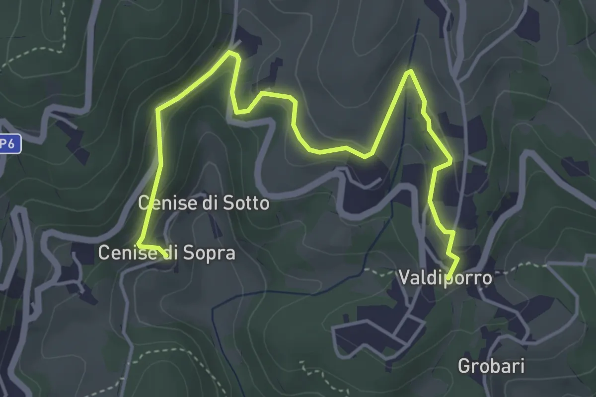
Medium · Trail
Percorso n. 5c
5.1 km · ↑ 238 m · 1 h 42 min · 14 km away
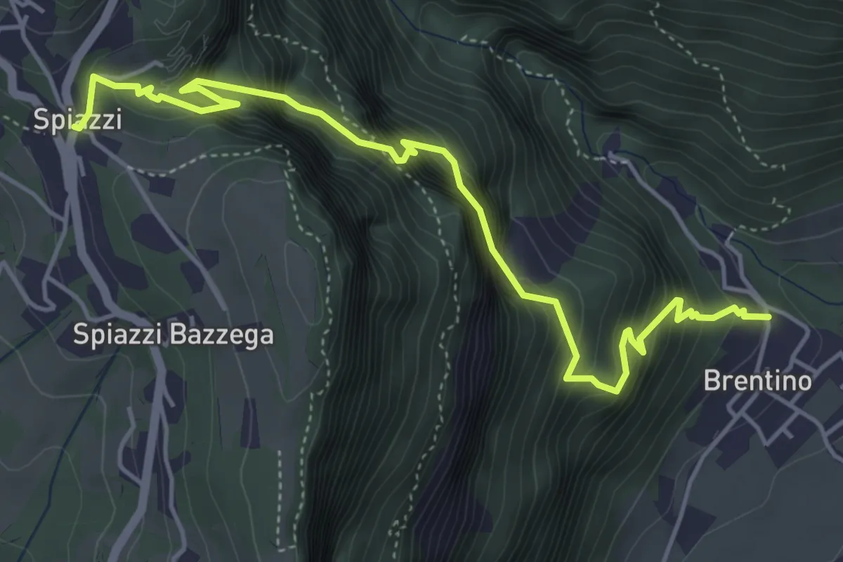
Medium · Trail
Sentiero della Speranza
5.6 km · ↑ 773 m · 3 h · 14 km away
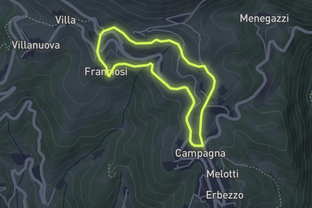
Medium · Trail
Itinerario Bianco-Azzurro
3.1 km · ↑ 94 m · 59 min · 14 km away
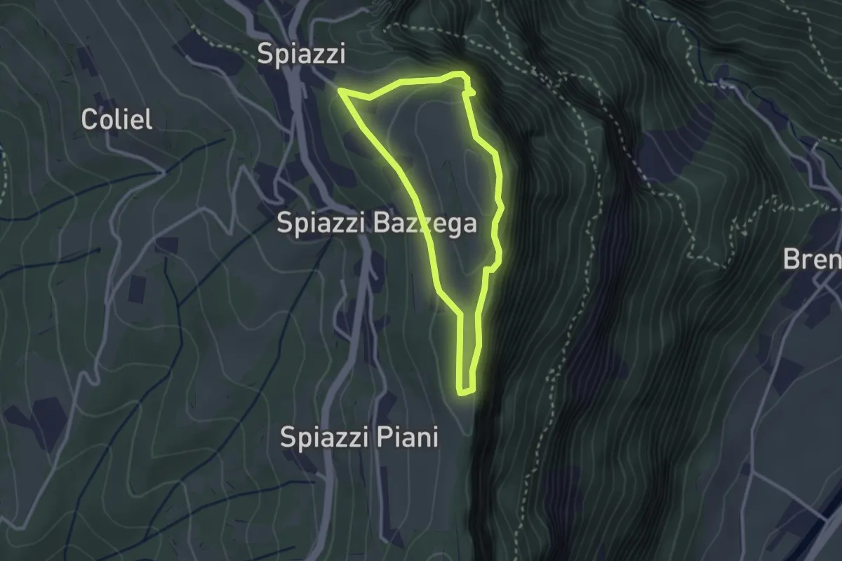
Easy · Summit
Spiazzi Trincee del Monte Cimo
2.4 km · ↑ 144 m · 54 min · 14 km away
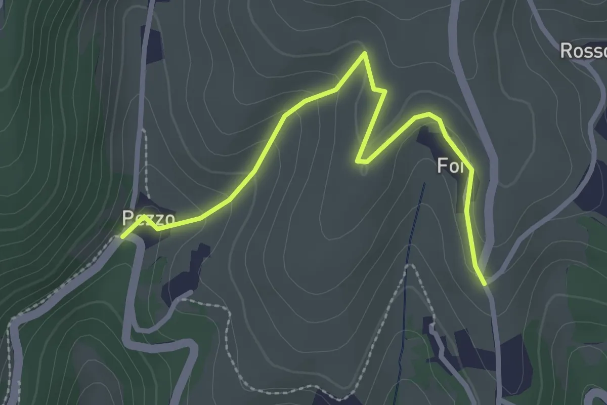
Medium · Trail
Percorso n. 6a variante Pezzo
2.7 km · ↑ 115 m · 54 min · 14 km away
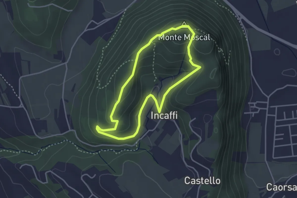
Medium · Summit
Incaffi - Monte Moscal
3.0 km · ↑ 120 m · 1 h 1 min · 14 km away
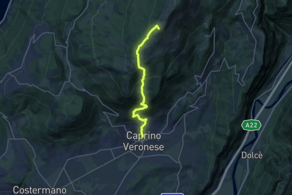
Demanding · Summit
Caprino - Bocchetta di Naole
13.4 km · ↑ 1224 m · 5 h 49 min · 14 km away
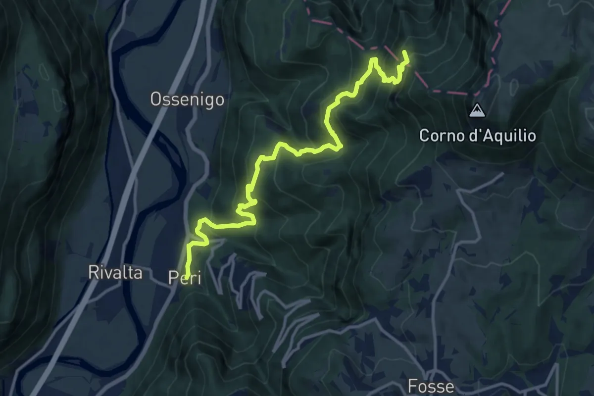
Demanding · Summit
Dorsale Alta della Lessinia - 4° tratto - Sentiero di Rocca Pia
11.8 km · ↑ 1081 m · 5 h 8 min · 14 km away
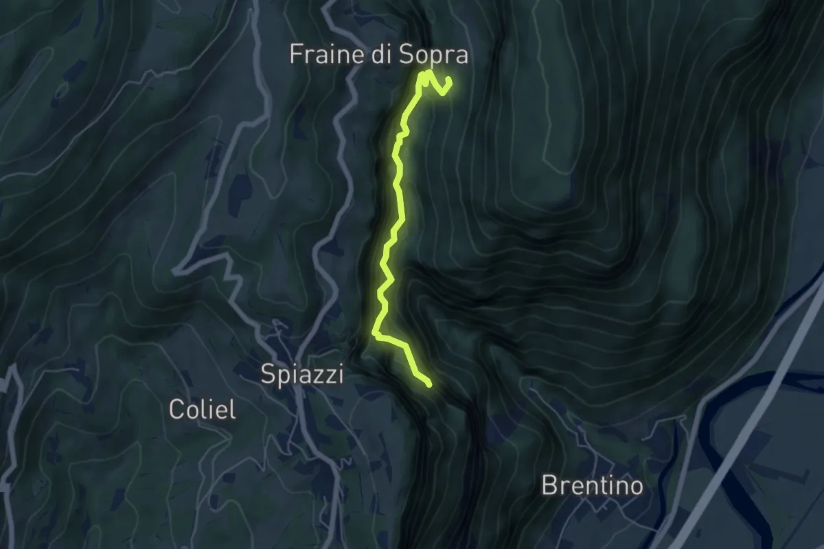
Demanding · Trail
Sentiero del Vajo dell'Orsa
4.6 km · ↑ 1054 m · 3 h 23 min · 14 km away
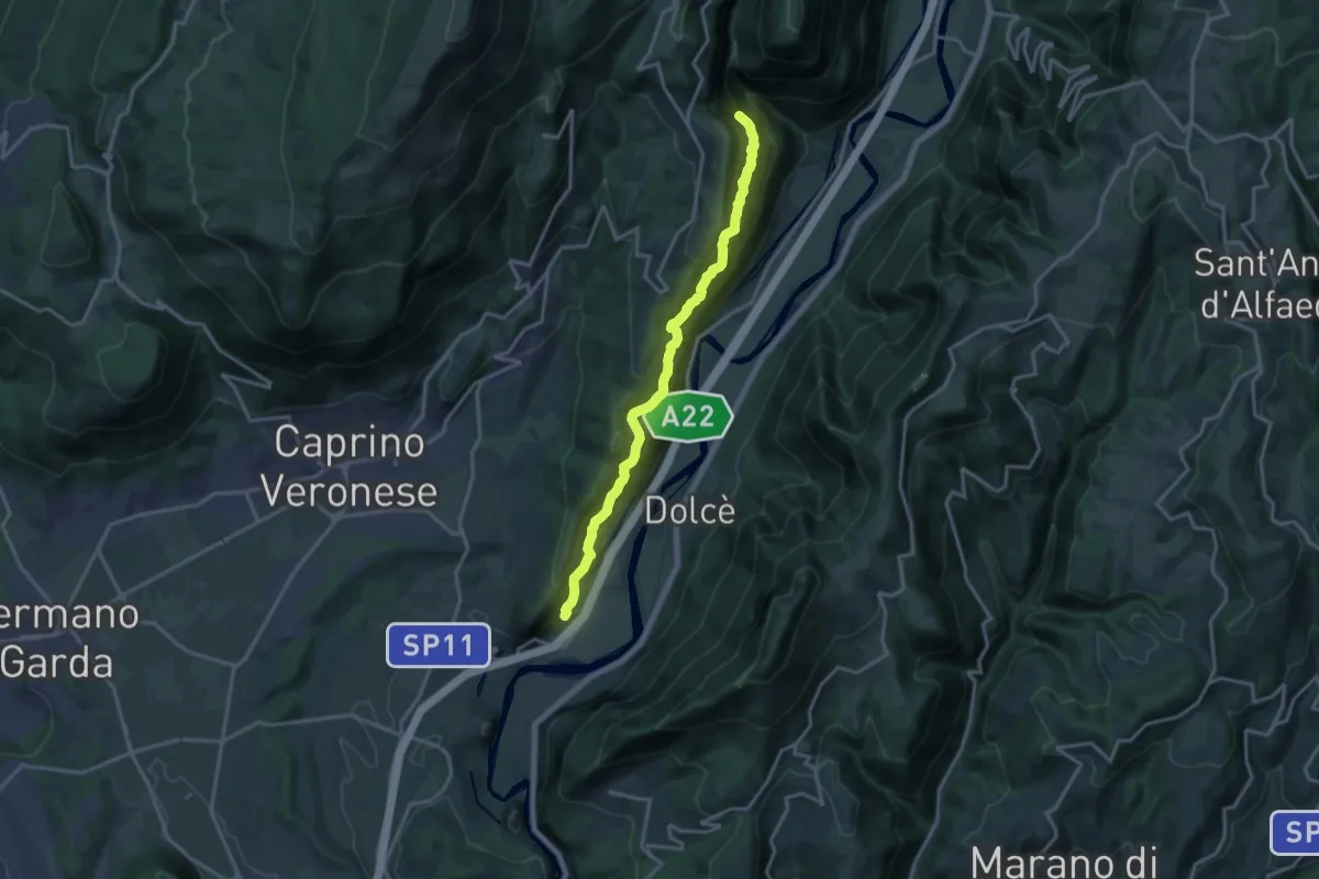
Demanding · Trail
Canale - Madonna della Corona
15.9 km · ↑ 1707 m · 7 h 27 min · 14 km away
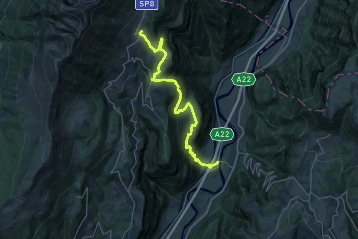
Demanding · Cabin
Rivalta – Rifugio Novezzina
20.5 km · ↑ 1277 m · 7 h 36 min · 15 km away
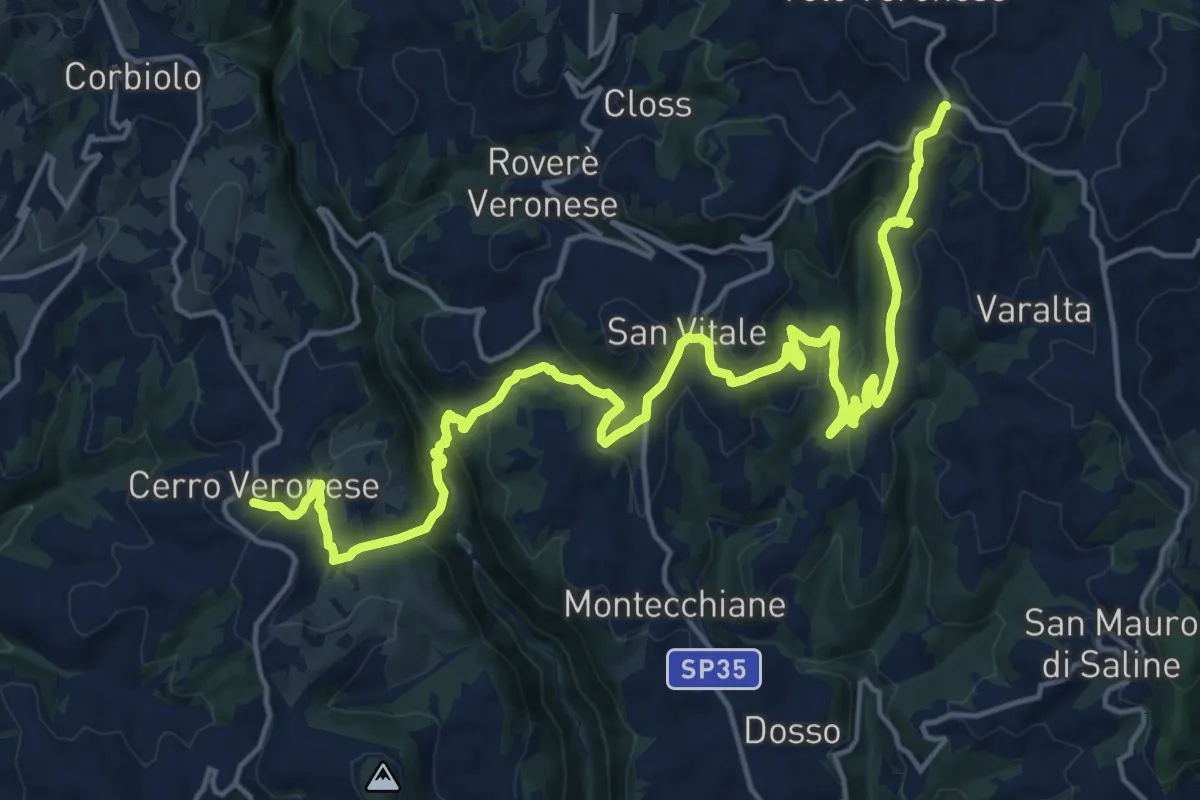
Demanding · Trail
Cerro Veronese - Bettola di Velo
22.7 km · ↑ 1131 m · 7 h 48 min · 15 km away
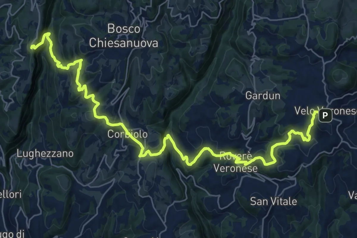
Demanding · Trail
Dorsale Bassa della Lessinia sezione Velo - Genderli
14.6 km · ↑ 594 m · 5 h 1 min · 15 km away
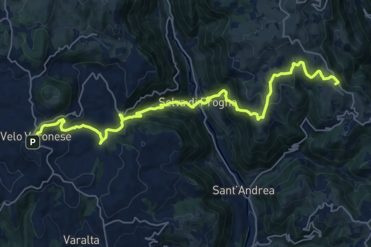
Demanding · Summit
Dorsale Bassa della Lessinia sezione Bolca - Velo
20.4 km · ↑ 1305 m · 7 h 39 min · 15 km away
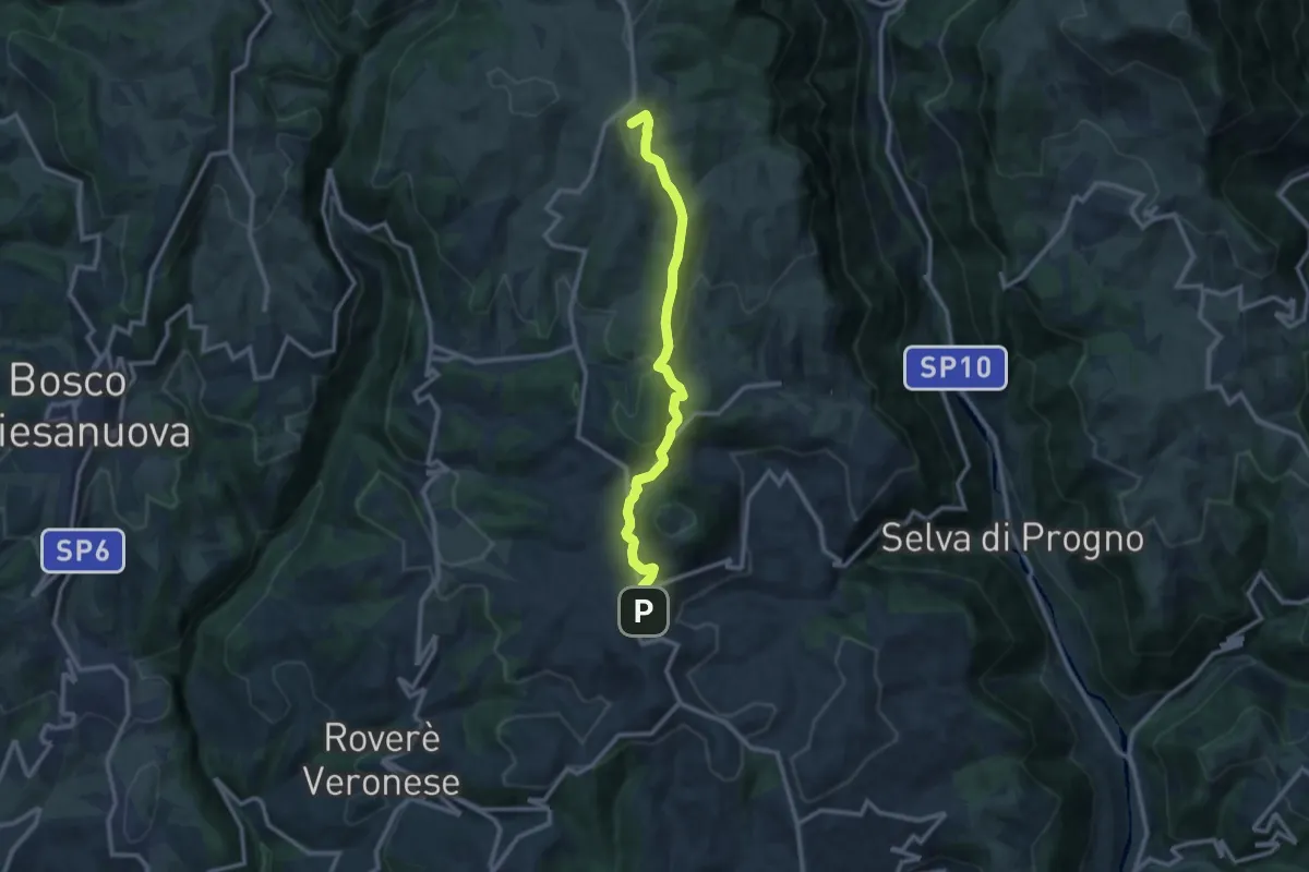
Medium · Summit
Velo Veronese – Malga Parparo di Sopra
10.8 km · ↑ 405 m · 3 h 26 min · 15 km away