Trails near Nocera Inferiore
101 hikes starting within 15 km, nearest first.
Nearest first, page 2 of 3
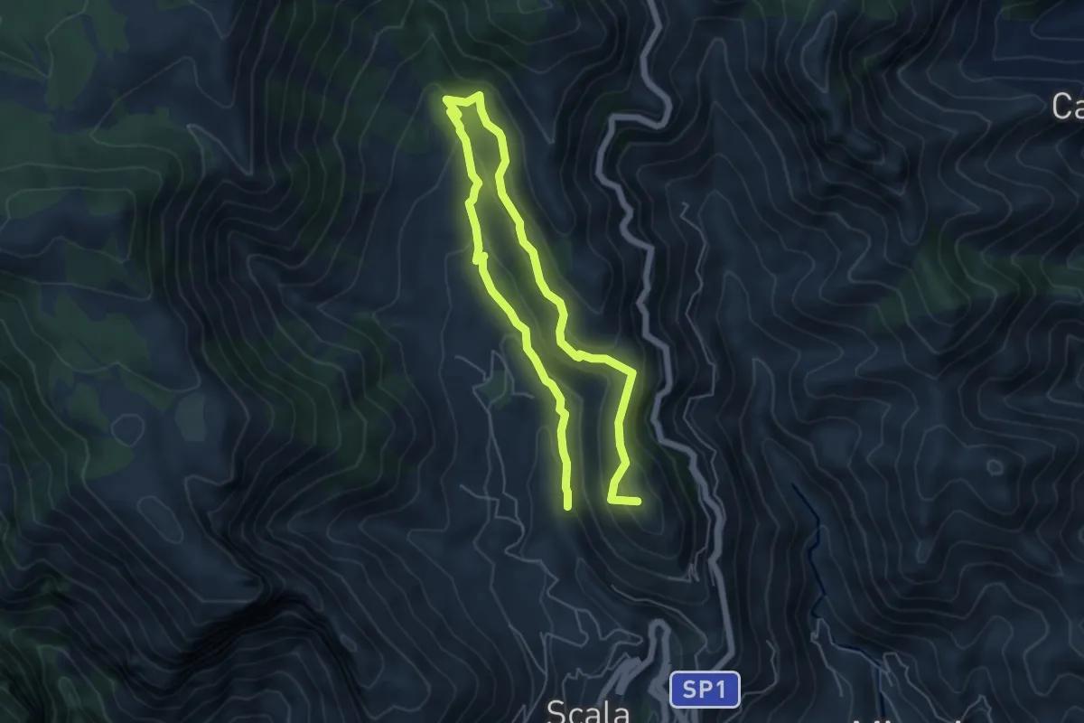
Medium · Summit
Incrocio 353 (Loc. Santa Caterina) – Incrocio 315
9.4 km · ↑ 504 m · 3 h 19 min · 10 km away
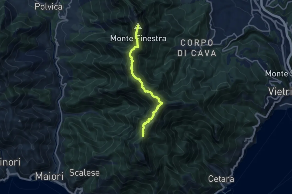
Demanding · Summit
Alta Via dei Monti Lattari - 02
9.0 km · ↑ 852 m · 3 h 59 min · 10 km away
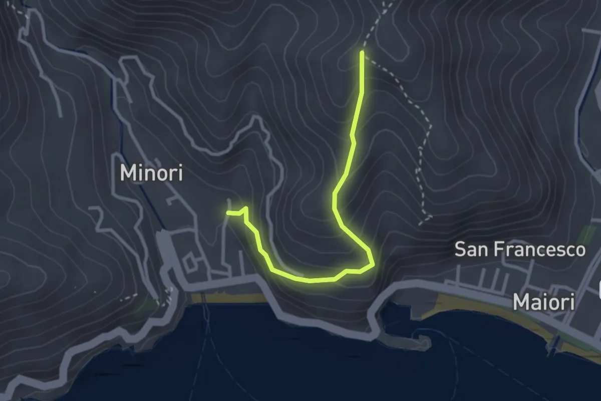
Medium · Trail
Minori – Incrocio 315a
2.8 km · ↑ 273 m · 1 h 15 min · 10 km away
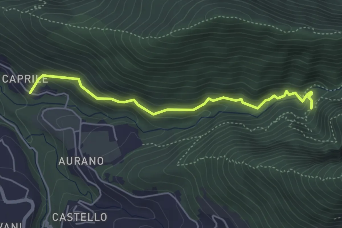
Medium · Trail
Il Butto dell'Acqua
4.5 km · ↑ 282 m · 1 h 41 min · 10 km away
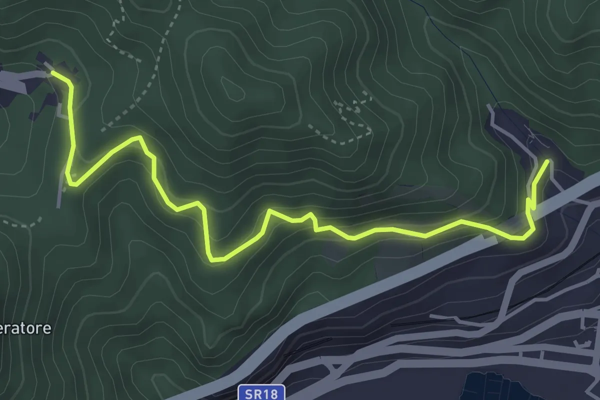
Medium · Trail
Alessia (Cava de' Tirreni) – Canalone (Salerno)
5.0 km · ↑ 335 m · 1 h 54 min · 10 km away
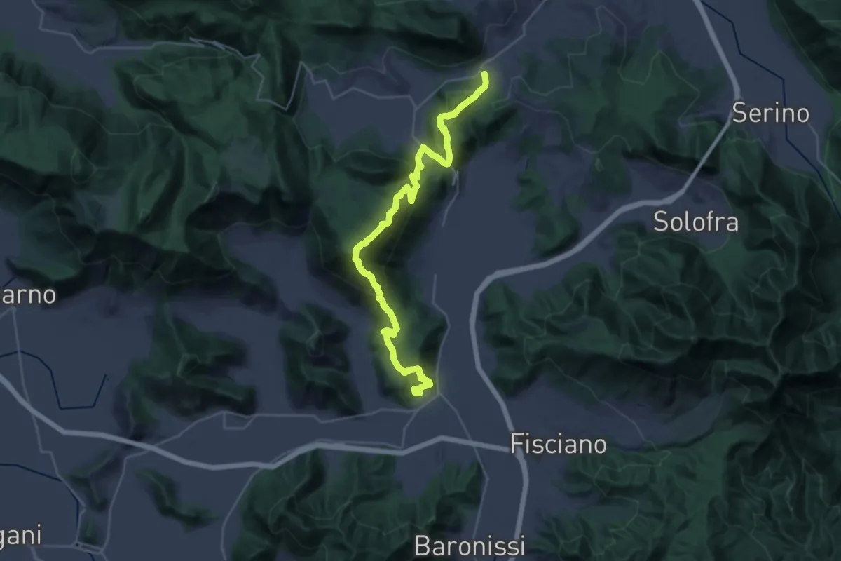
Demanding · Trail
Contrada – Mercato San Severino
15.9 km · ↑ 1073 m · 6 h 11 min · 10 km away
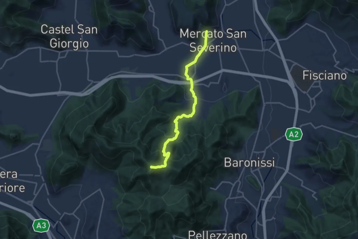
Medium · Summit
Mercato San Severino – Varco della Foce
13.2 km · ↑ 716 m · 4 h 40 min · 10 km away
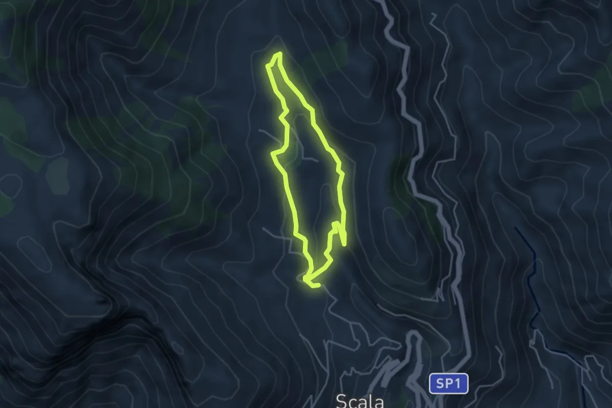
Medium · Trail
Fontana Carosa da Scala
3.6 km · ↑ 145 m · 1 h 12 min · 10 km away
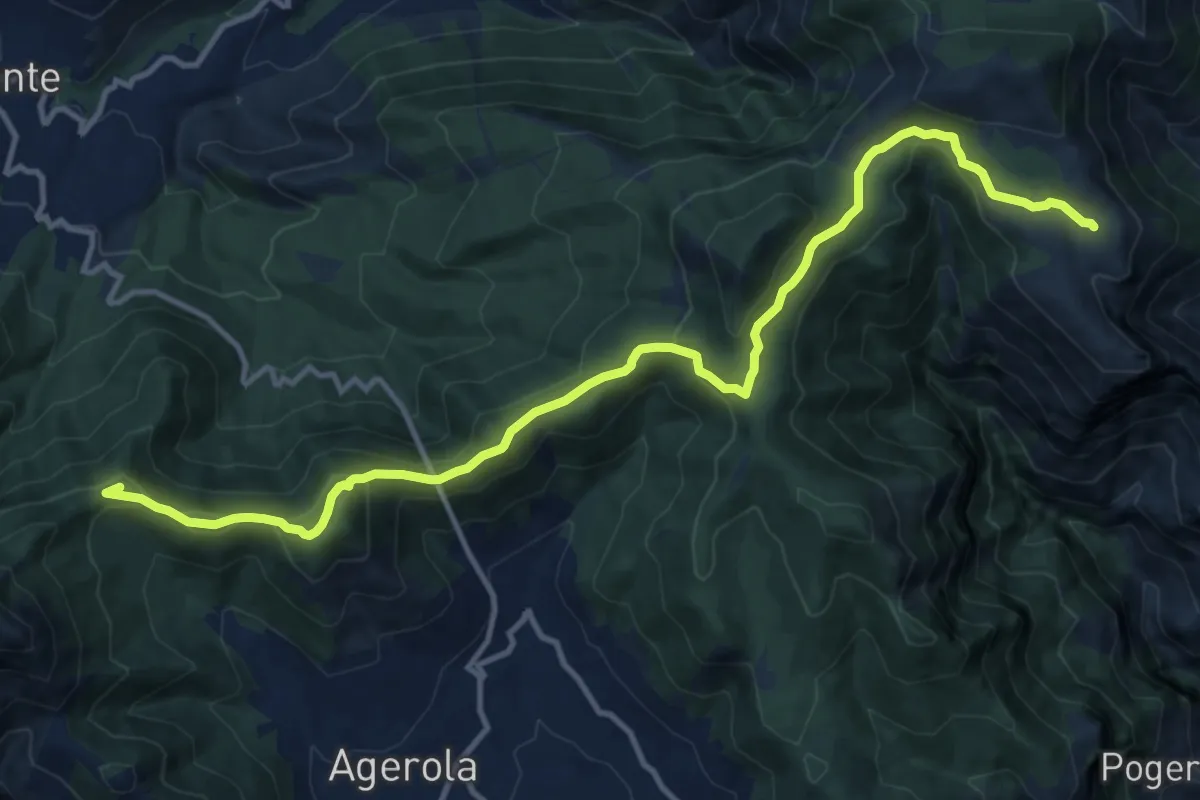
Demanding · Summit
Rifugio Santa Maria dei Monti – Faito
15.5 km · ↑ 690 m · 5 h 9 min · 10 km away
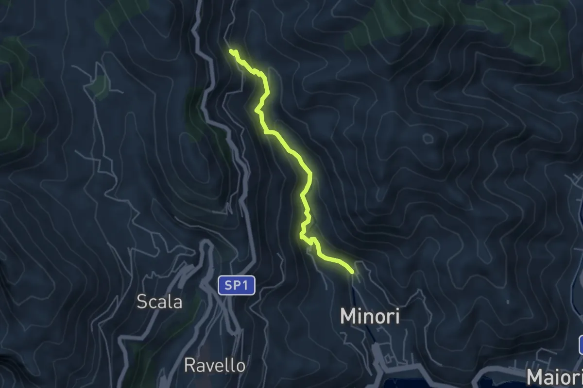
Medium · Trail
Loc. Villamena (Minori) – Loc. Sambuco
4.5 km · ↑ 332 m · 1 h 47 min · 10 km away
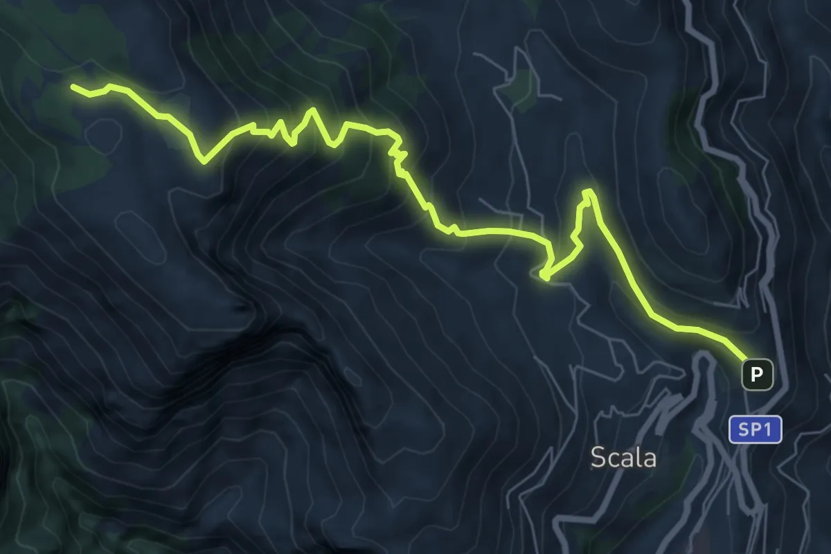
Medium · Trail
Sentiero di Santa Maria ai Monti
9.2 km · ↑ 753 m · 3 h 48 min · 10 km away
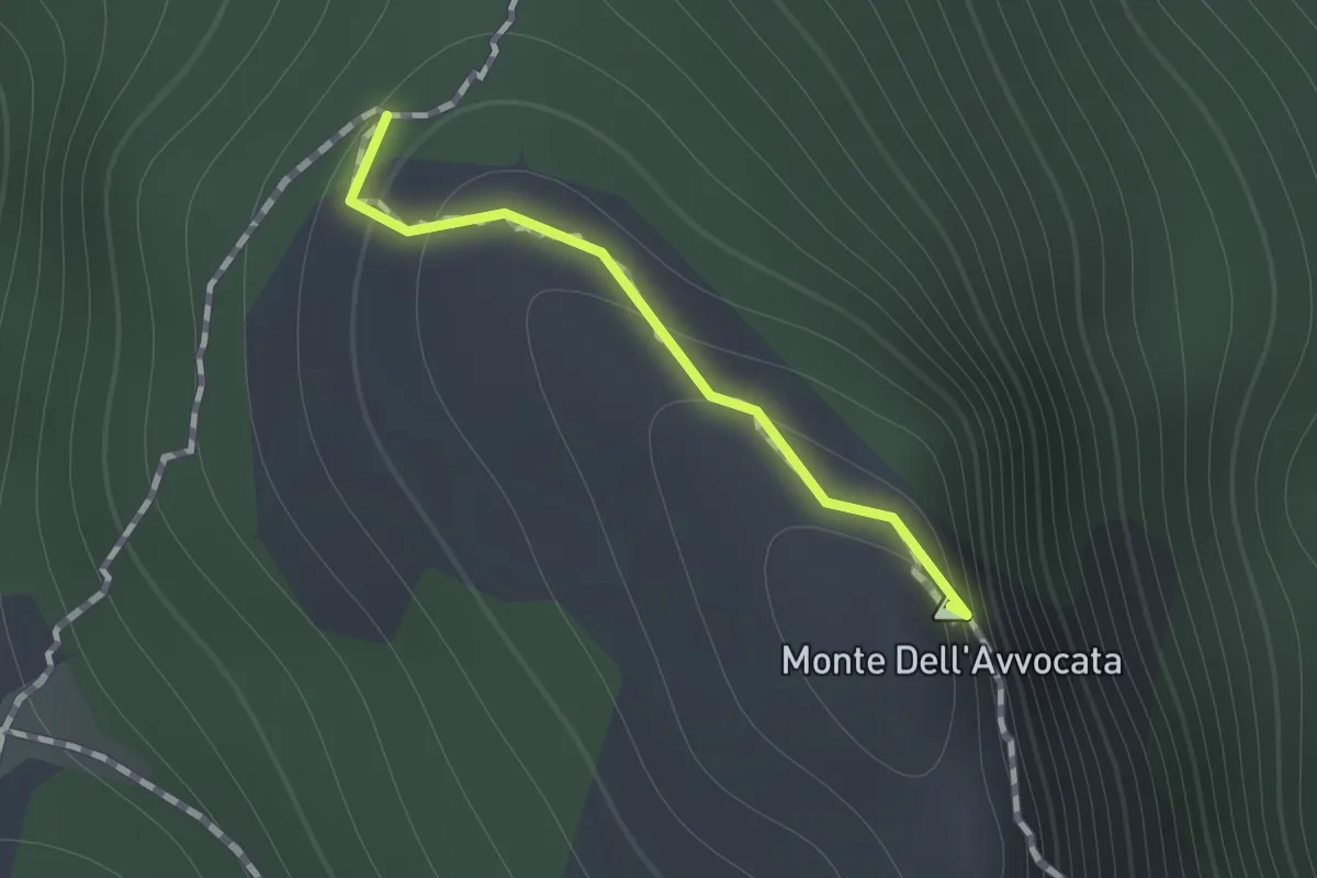
Medium · Summit
Variante per Vetta Avvocata
0.7 km · ↑ 86 m · 21 min · 10 km away
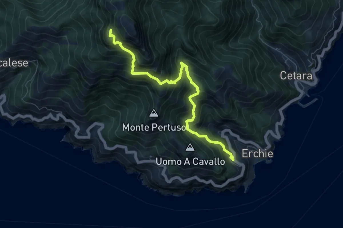
Demanding · Trail
Erchie – Santuario dell'Avvocata
8.1 km · ↑ 955 m · 3 h 58 min · 11 km away
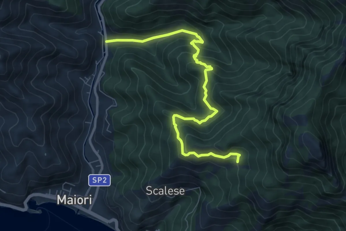
Medium · Trail
Vecite (Maiori) – Incrocio 307
8.7 km · ↑ 652 m · 3 h 28 min · 11 km away
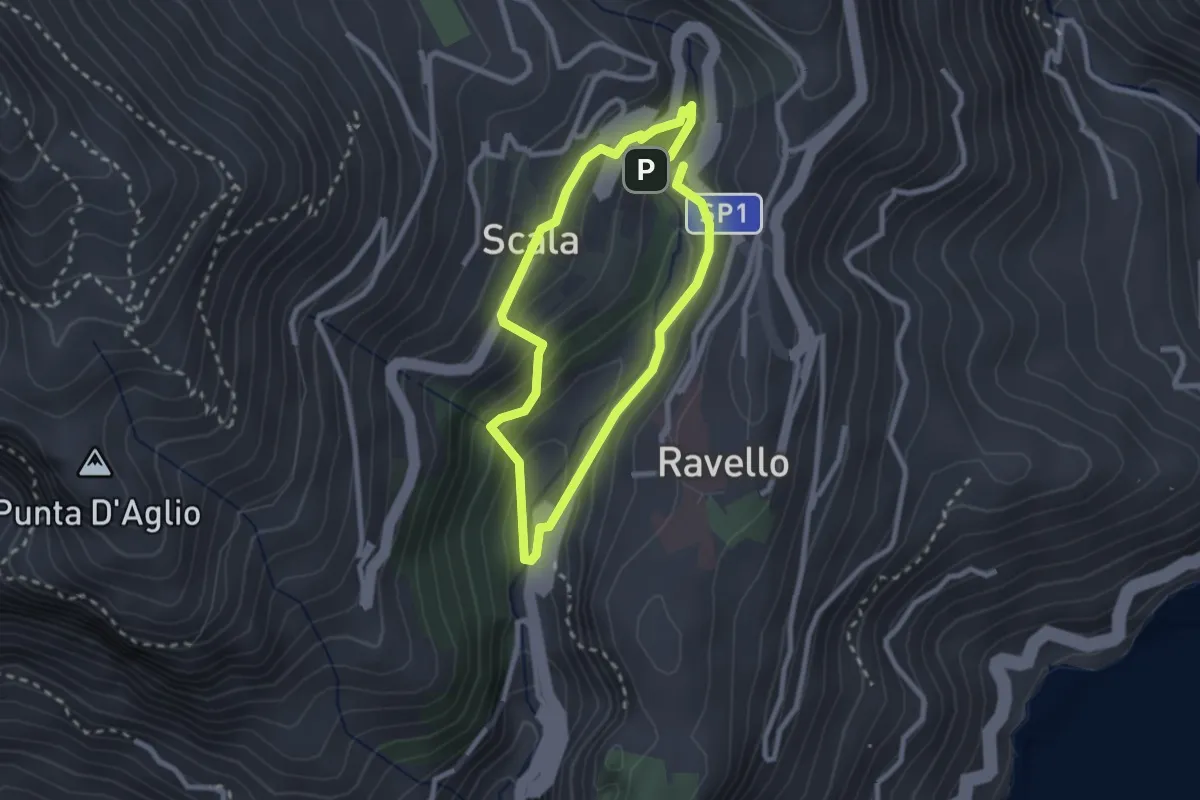
Easy · Trail
Anello del Dragone
2.3 km · ↑ 139 m · 53 min · 11 km away
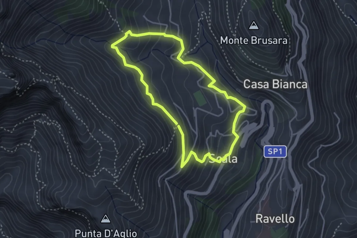
Medium · Trail
Anello di Fra Gerardo Sasso
3.5 km · ↑ 237 m · 1 h 23 min · 11 km away
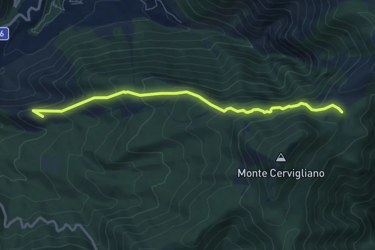
Medium · Summit
Sentiero dei cavalieri di Amalfi
7.3 km · ↑ 602 m · 3 h 1 min · 11 km away
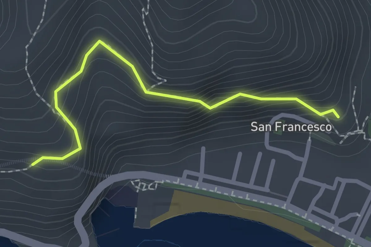
Easy · Trail
Via dei Limoni
2.1 km · ↑ 188 m · 55 min · 11 km away
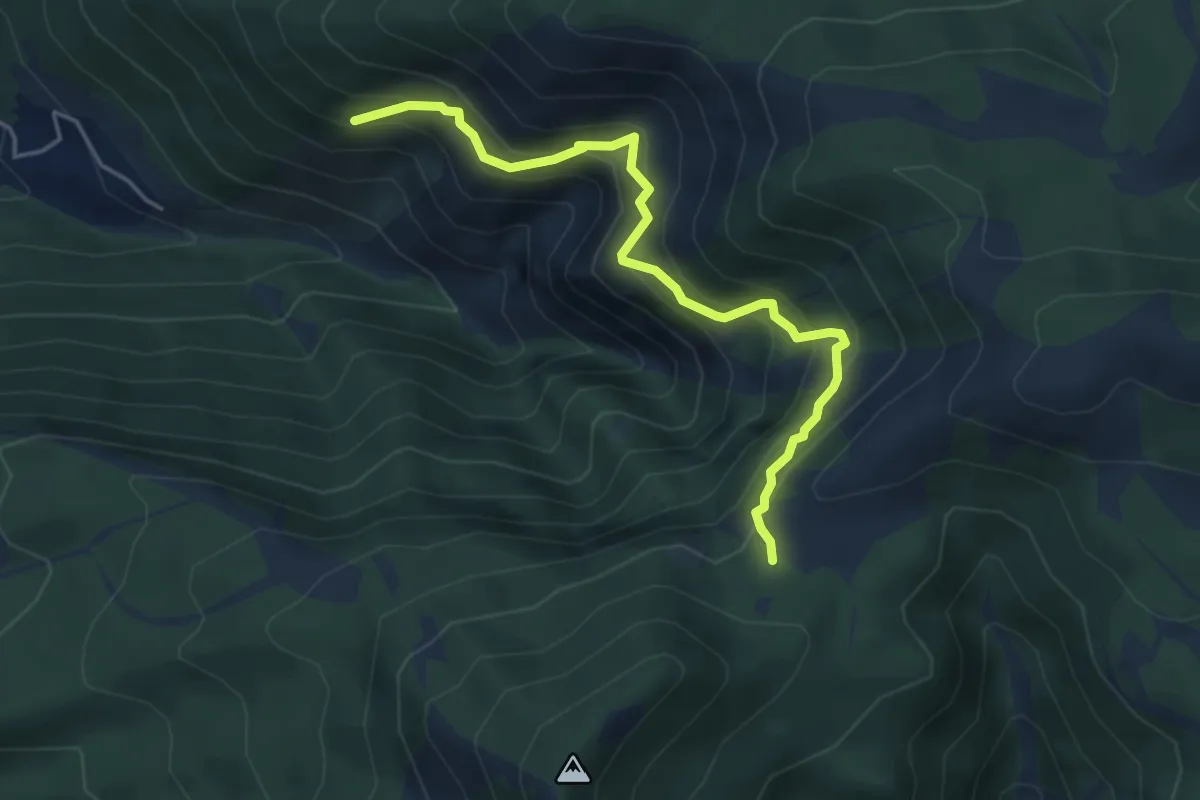
Medium · Trail
Incrocio 326 – Incrocio con 332 nei pressi dell'acqua Vrecciara
5.1 km · ↑ 550 m · 2 h 24 min · 11 km away
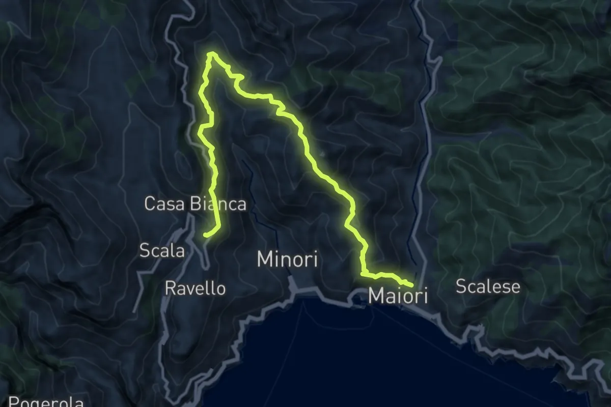
Demanding · Trail
Maiori – Ravello
14.2 km · ↑ 1089 m · 5 h 43 min · 11 km away
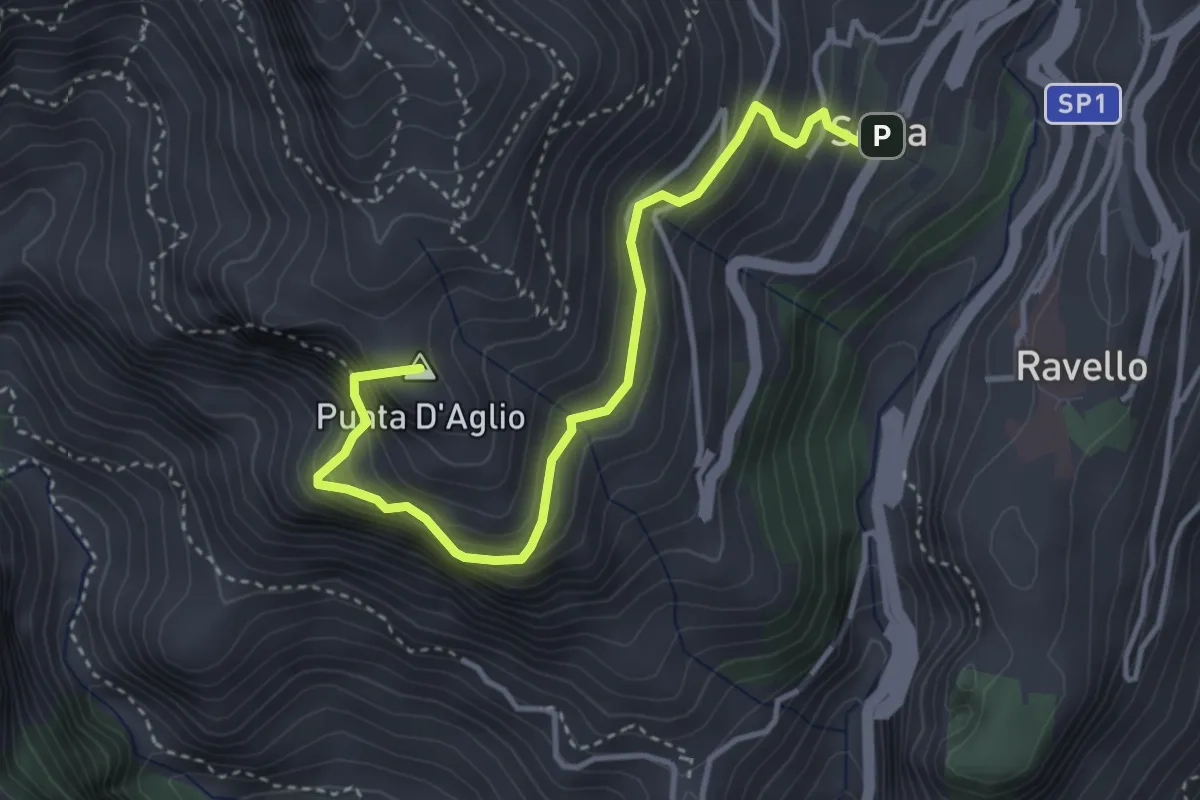
Medium · Summit
Scala – Incrocio 301 (loc. Pellagra)
4.4 km · ↑ 683 m · 2 h 32 min · 11 km away
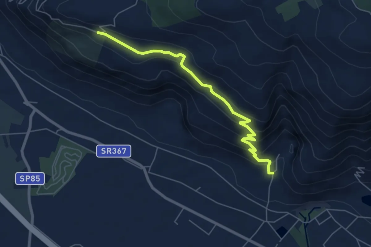
Medium · Trail
vallone monaco -salita delle pezze
5.8 km · ↑ 323 m · 2 h 4 min · 11 km away
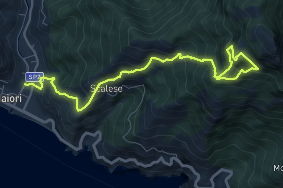
Demanding · Trail
Sentiero della Madonna dell'Avvocata
9.0 km · ↑ 1133 m · 4 h 35 min · 11 km away
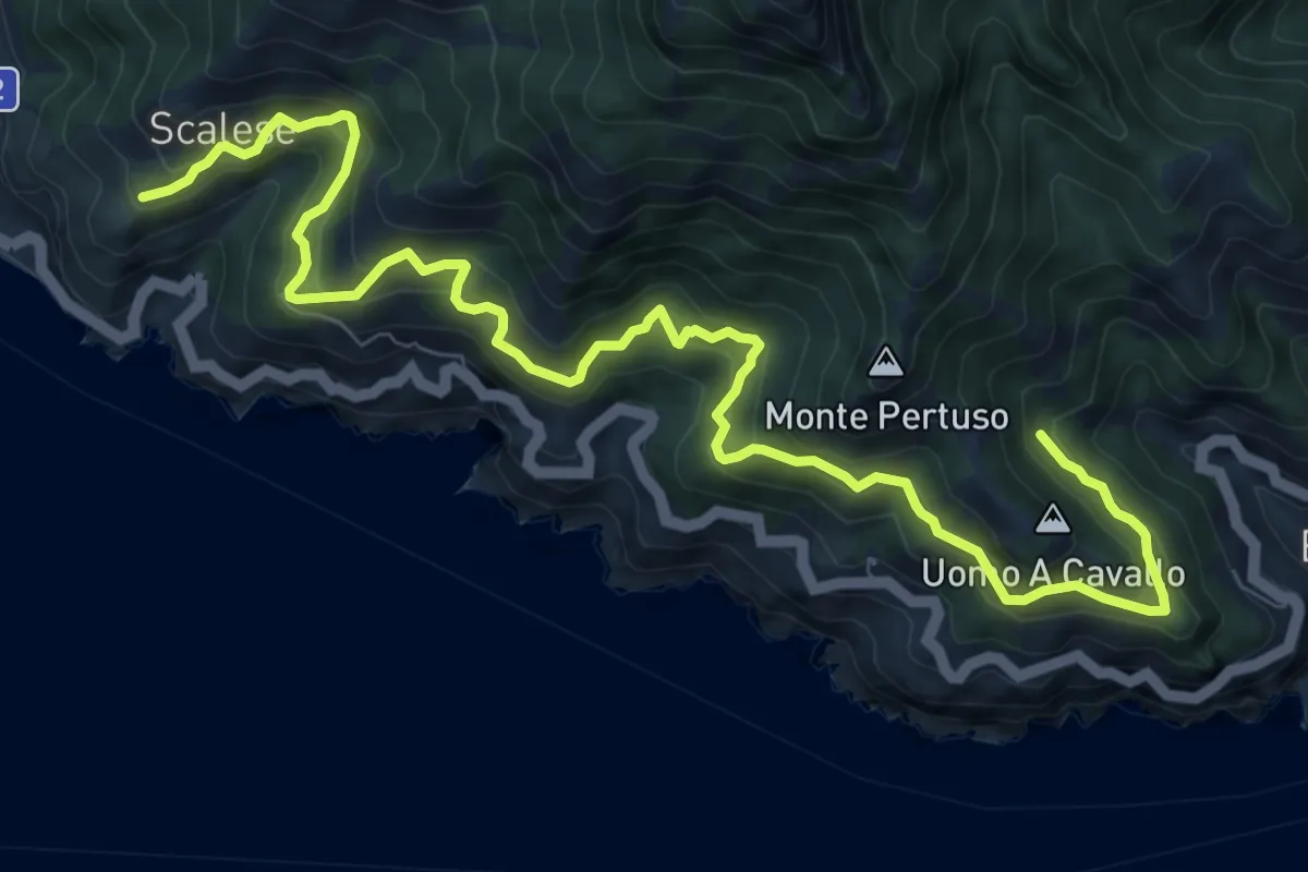
Demanding · Trail
San Vito (Maiori) – Incrocio 305 (Erchie)
12.4 km · ↑ 1116 m · 5 h 21 min · 11 km away
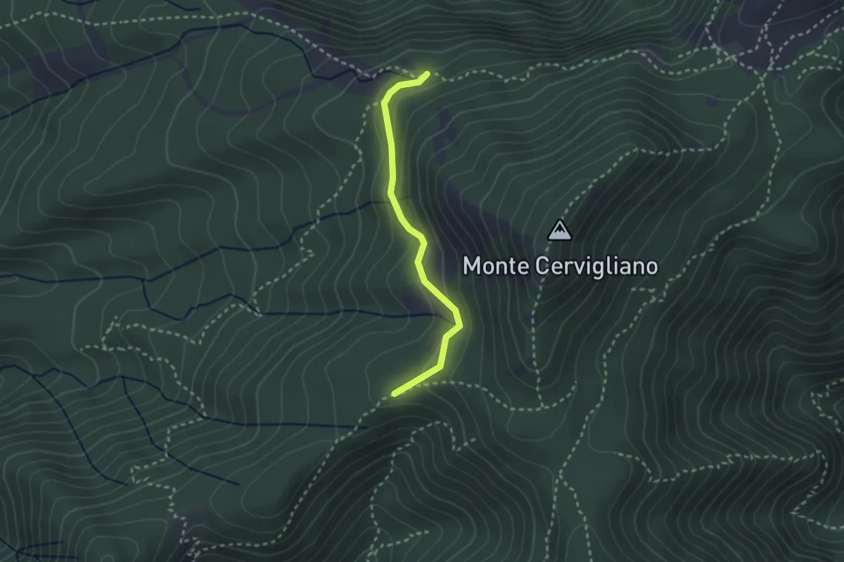
Medium · Trail
Sentiero delle sorgenti
2.6 km · ↑ 120 m · 53 min · 11 km away
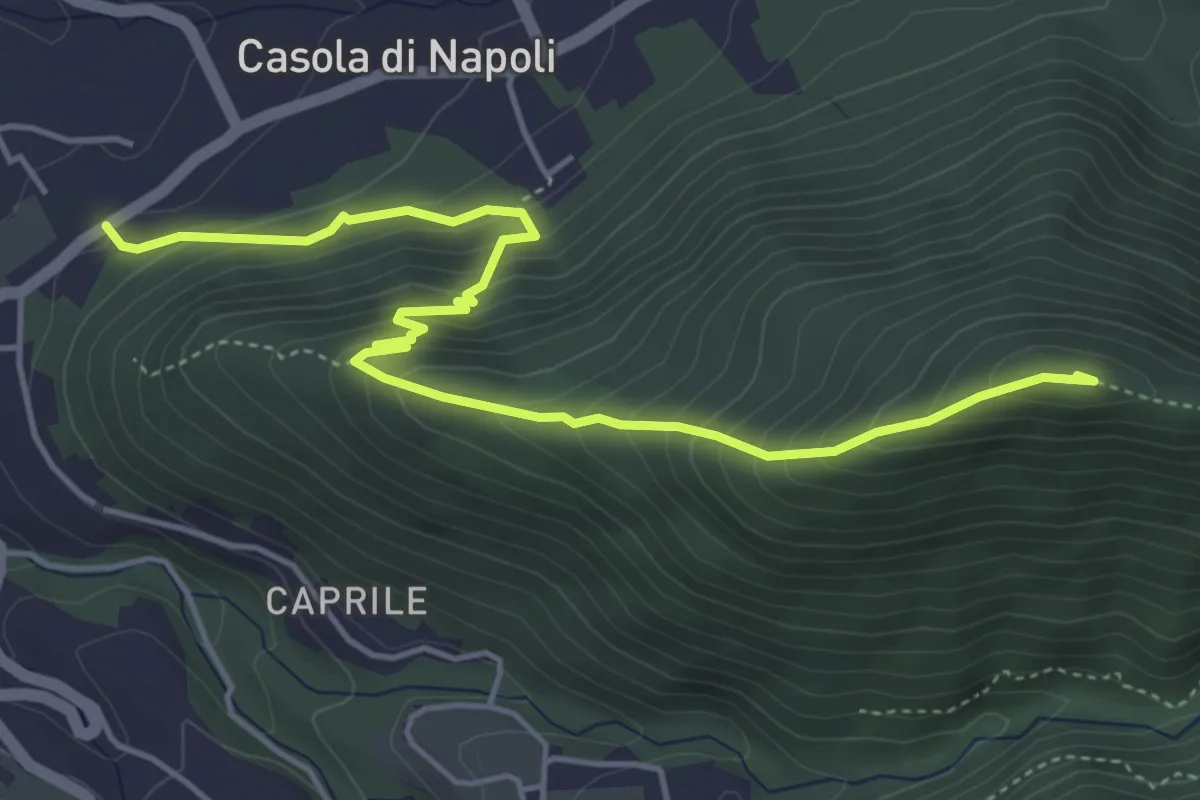
Medium · Summit
Sentiero di Monte Muto
5.9 km · ↑ 486 m · 2 h 27 min · 11 km away
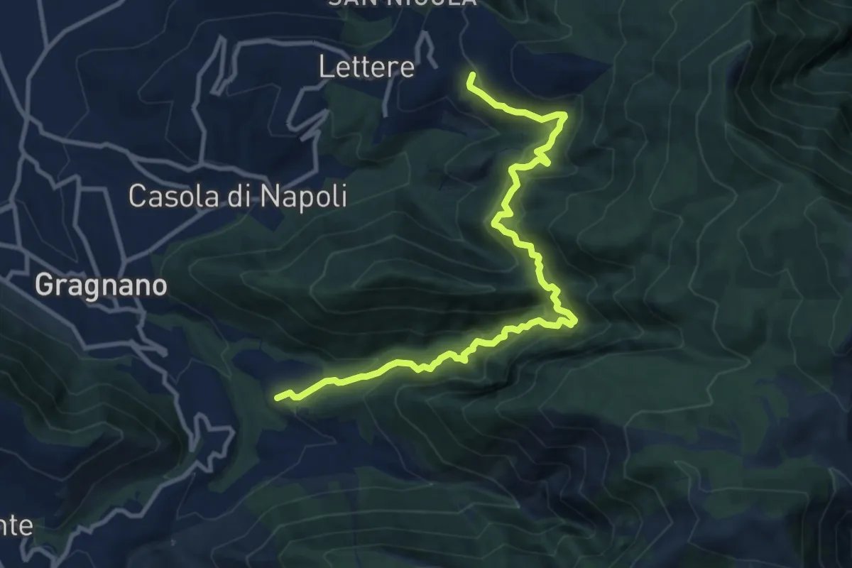
Demanding · Trail
Sentiero della Valle del Pericolo
12.2 km · ↑ 974 m · 4 h 59 min · 12 km away
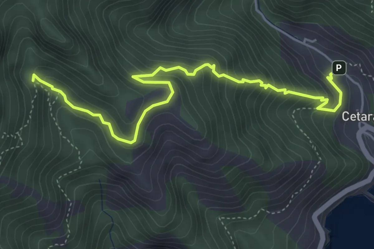
Medium · Trail
Cetara – Incrocio 305
5.7 km · ↑ 573 m · 2 h 36 min · 12 km away
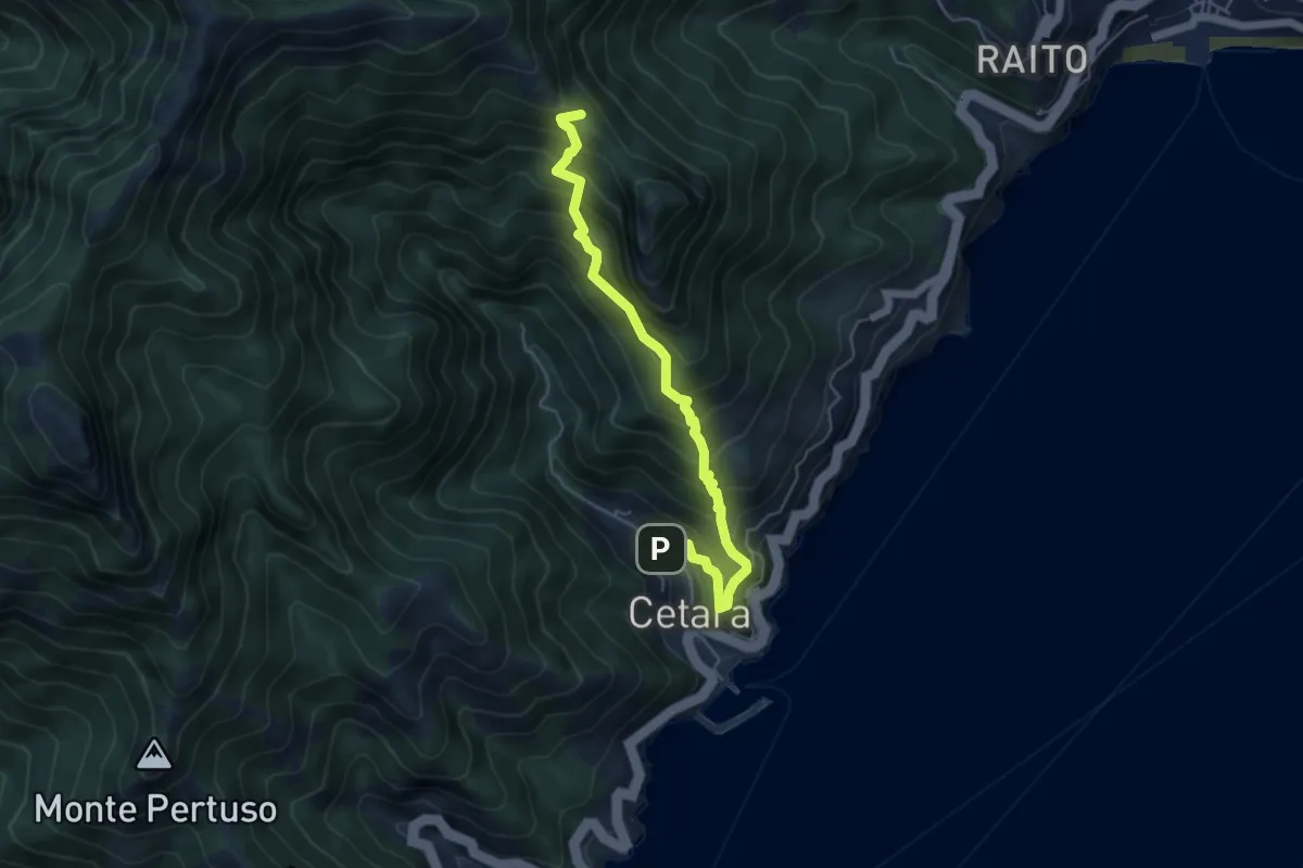
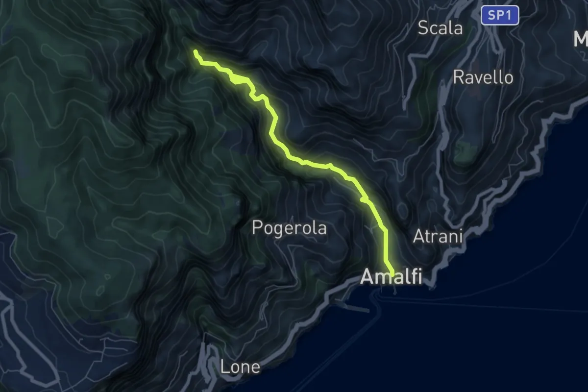
Medium · Trail
Cetara – Sella del Monte Falerio
5.8 km · ↑ 676 m · 2 h 50 min · 12 km away
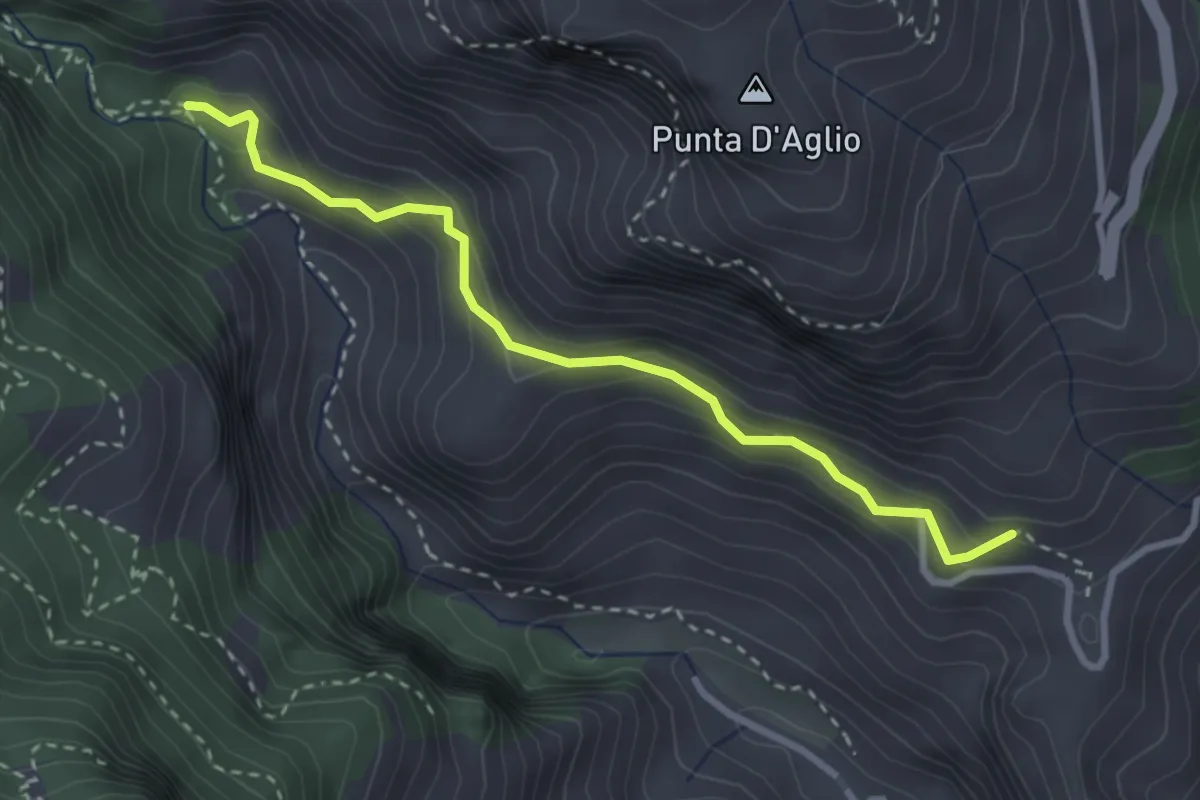
Medium · Trail
Sentiero basso della Valle delle Ferriere
7.1 km · ↑ 466 m · 2 h 41 min · 12 km away
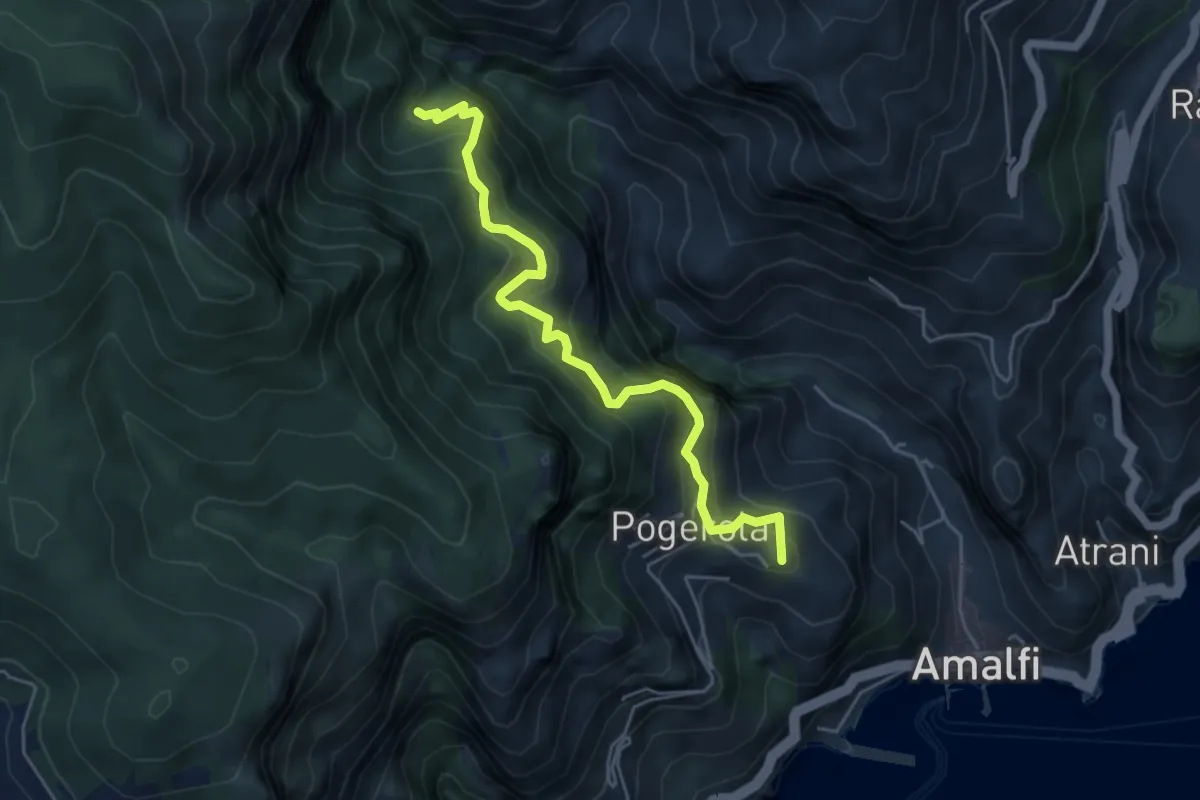
Medium · Trail
Pontone (Scala) – Incrocio 325 (Rudere dela Ferriera)
3.3 km · ↑ 273 m · 1 h 22 min · 12 km away
Medium · Summit
Sentiero dei Castagneti di Tavernate
5.5 km · ↑ 616 m · 2 h 39 min · 12 km away
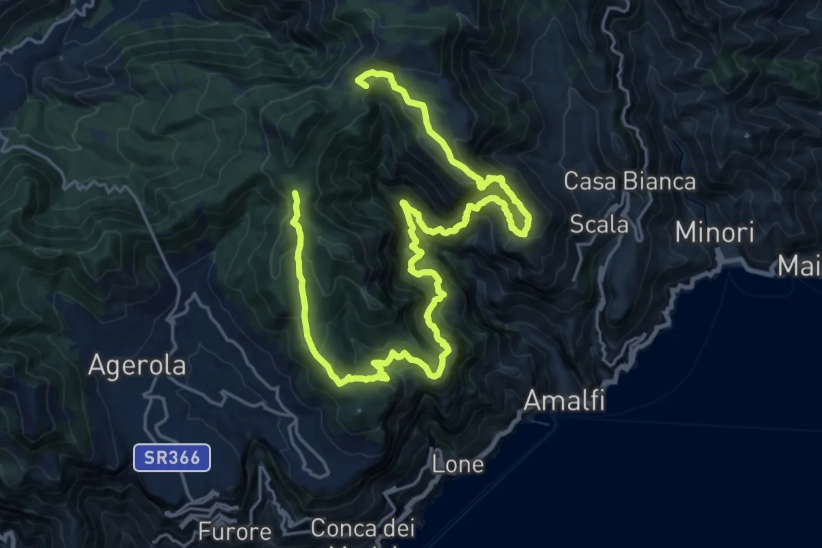
Demanding · Summit
Sentiero alto della Valle delle Ferriere
27.7 km · ↑ 2378 m · 11 h 42 min · 12 km away
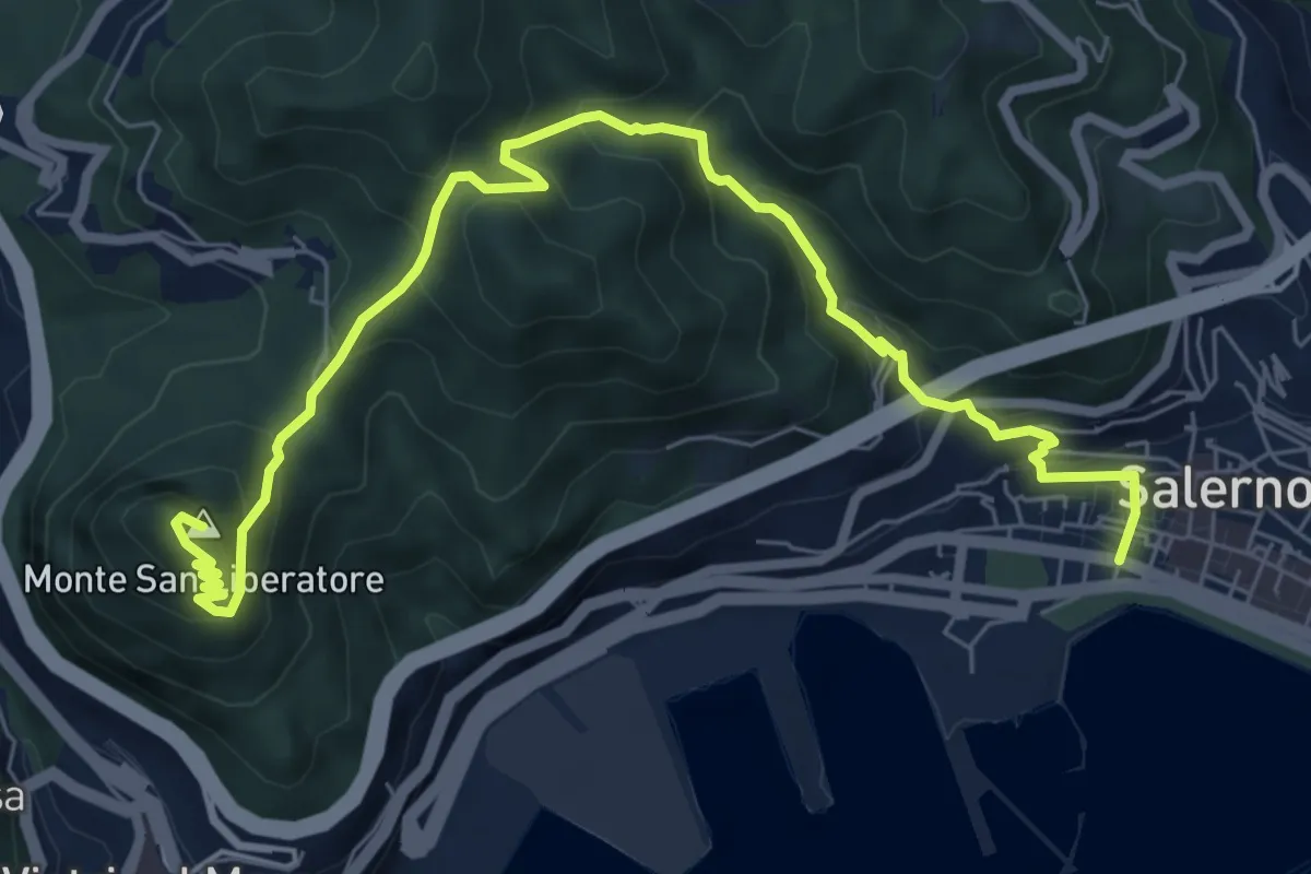
Medium · Summit
Salerno – Monte S. Liberatore
9.4 km · ↑ 658 m · 3 h 39 min · 12 km away
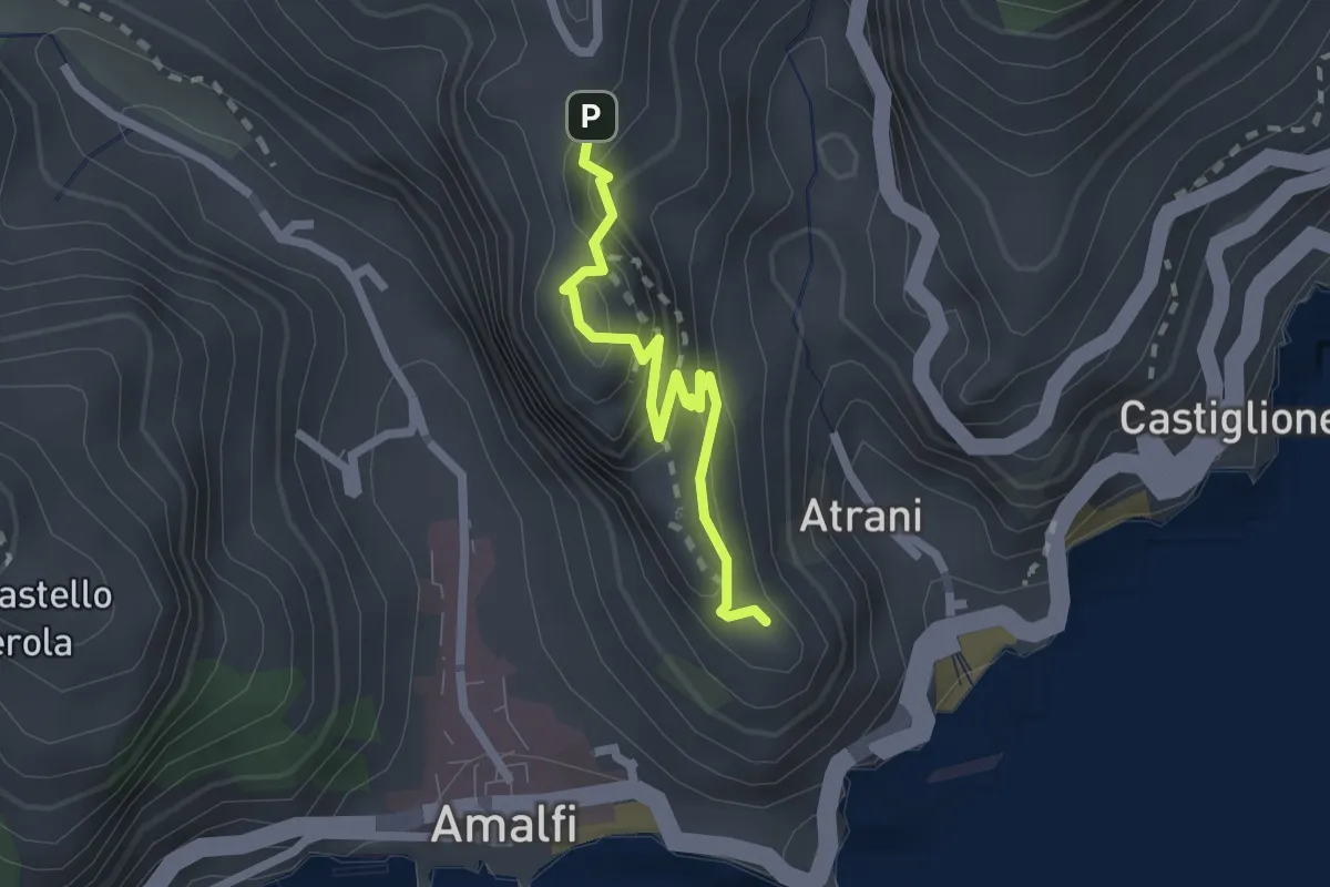
Easy · Trail
Pontone (Scala) – Torre dello Ziro
2.2 km · ↑ 152 m · 51 min · 12 km away
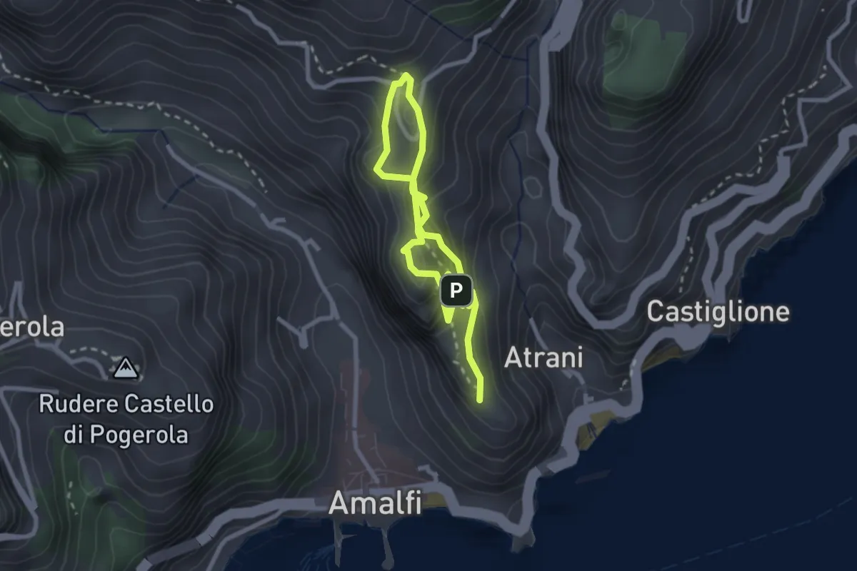
Easy · Trail
La Torre dello Ziro
2.0 km · ↑ 143 m · 50 min · 13 km away
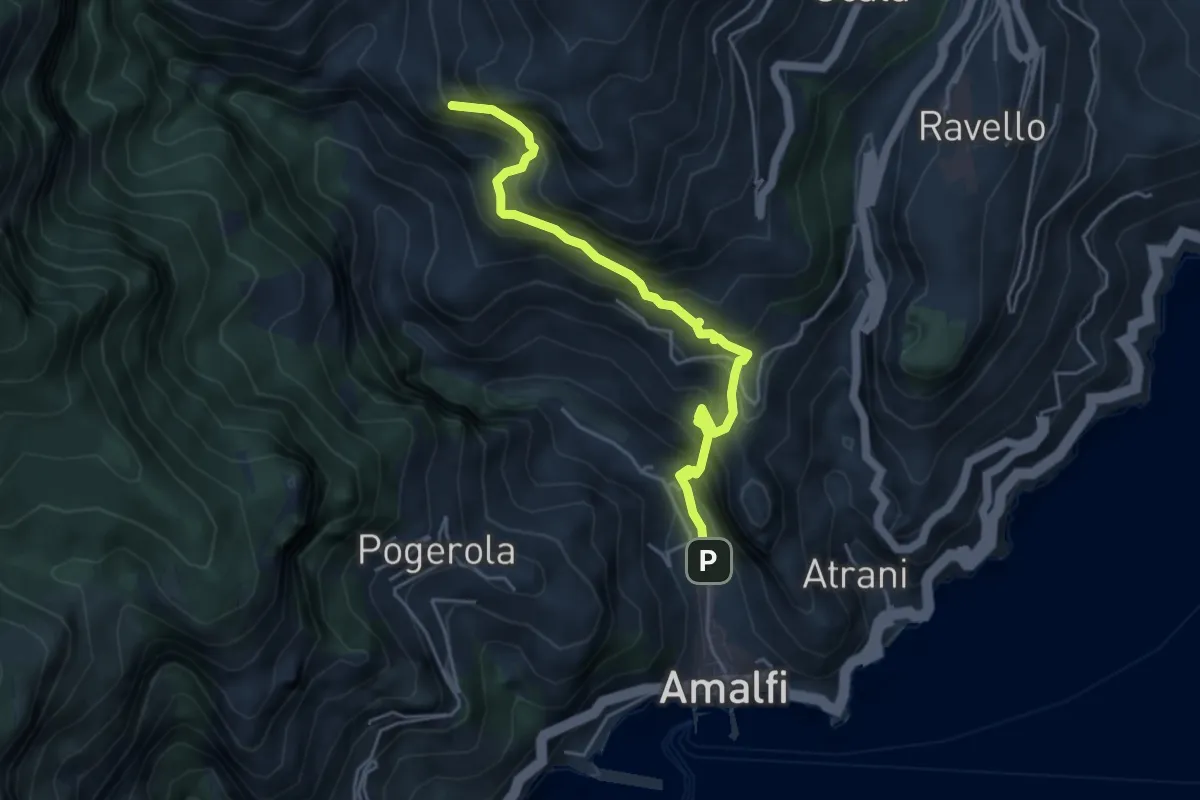
Medium · Trail
Amalfi – Punta D'Aglio
5.2 km · ↑ 623 m · 2 h 35 min · 13 km away
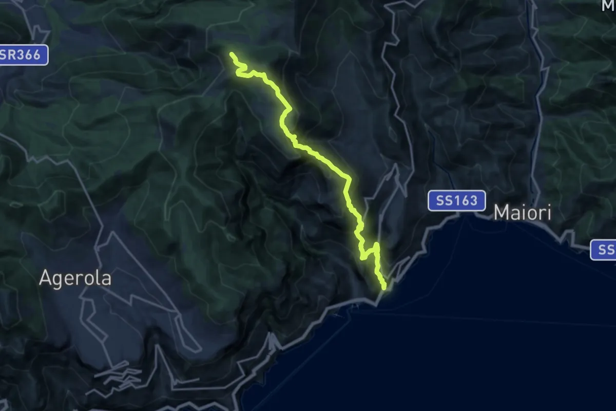
Demanding · Trail
Atrani – Incrocio 300
15.2 km · ↑ 1463 m · 6 h 45 min · 13 km away
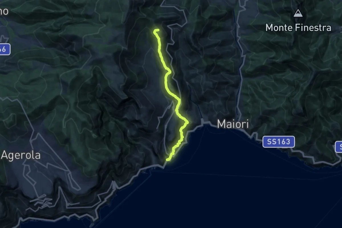
Demanding · Summit
Atrani – Loc. Cerreto
13.7 km · ↑ 1139 m · 5 h 42 min · 13 km away
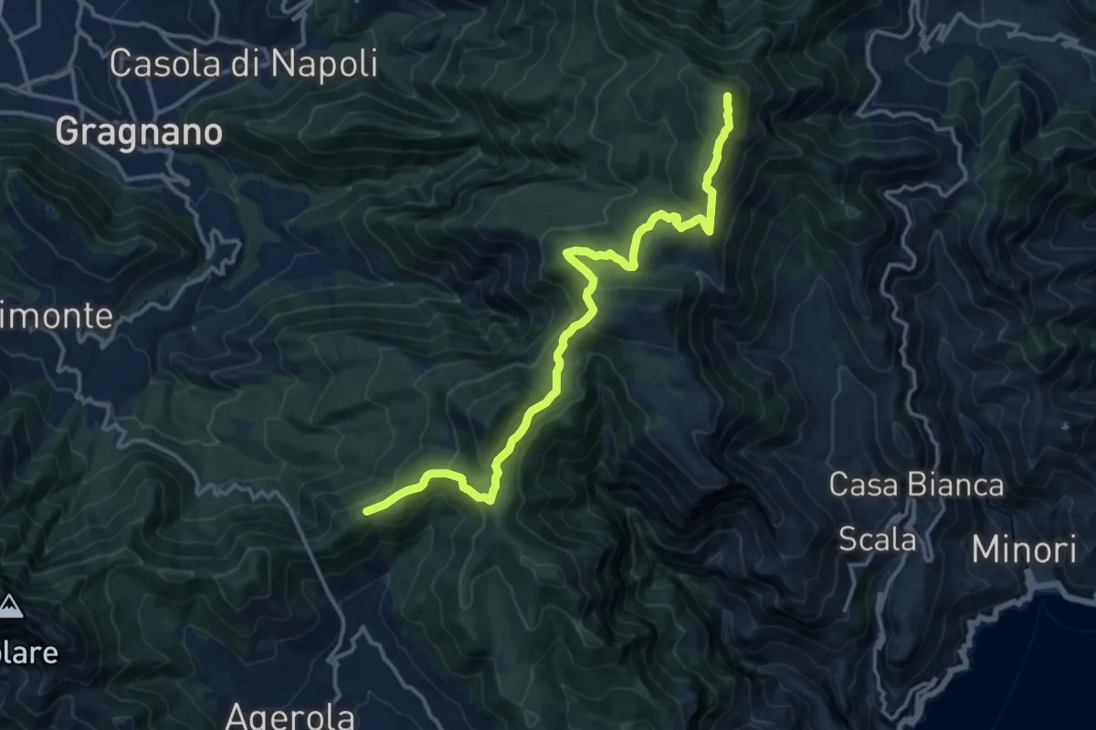
Medium · Summit
Alta Via dei Monti Lattari - 05
16.1 km · ↑ 638 m · 5 h 11 min · 13 km away
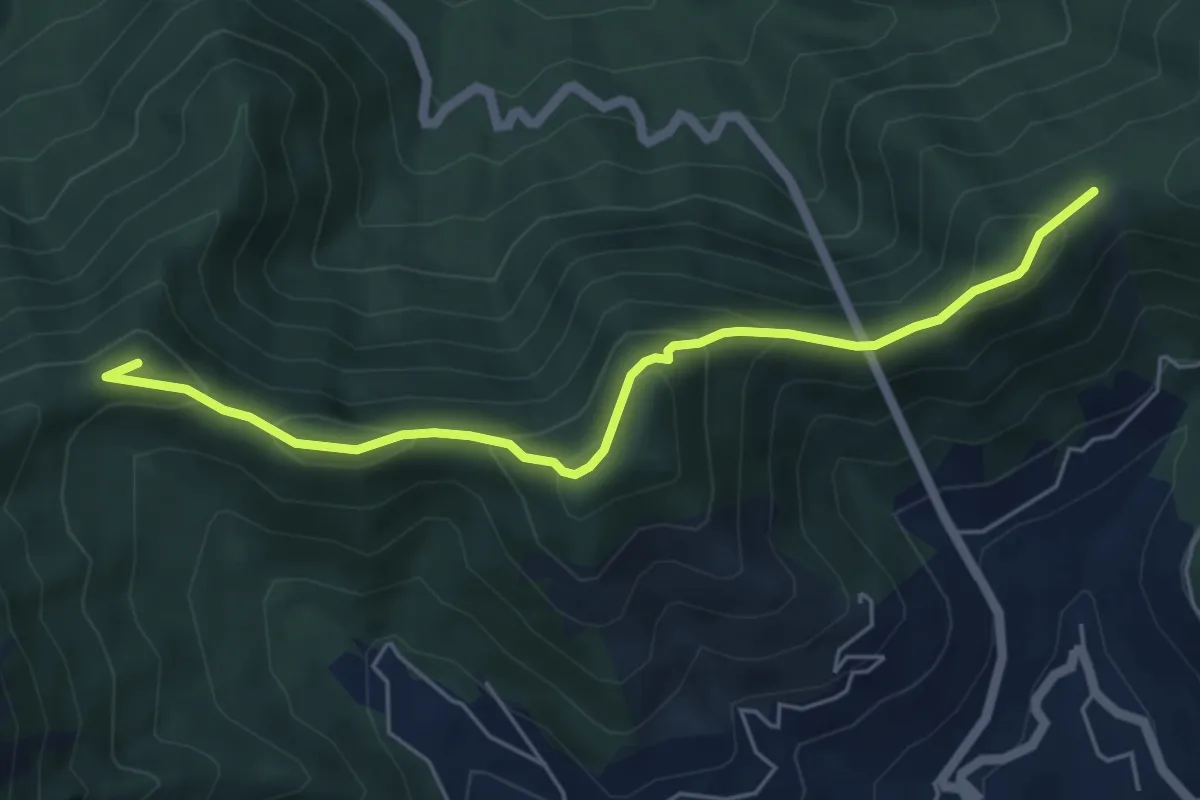
Demanding · Summit
Alta Via dei Monti Lattari - 06
6.0 km · ↑ 384 m · 2 h 15 min · 13 km away
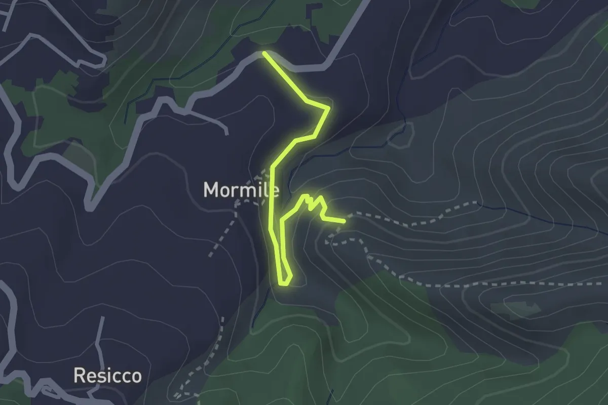
Medium · Trail
Sentiero della Valle Lavatoio
2.7 km · ↑ 121 m · 54 min · 13 km away
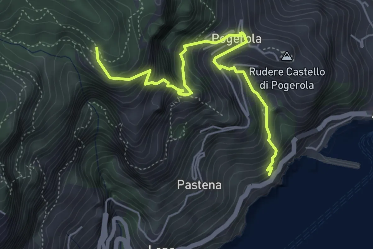
Medium · Trail
Sentiero della Madonna dei Fondi
5.6 km · ↑ 740 m · 2 h 56 min · 13 km away
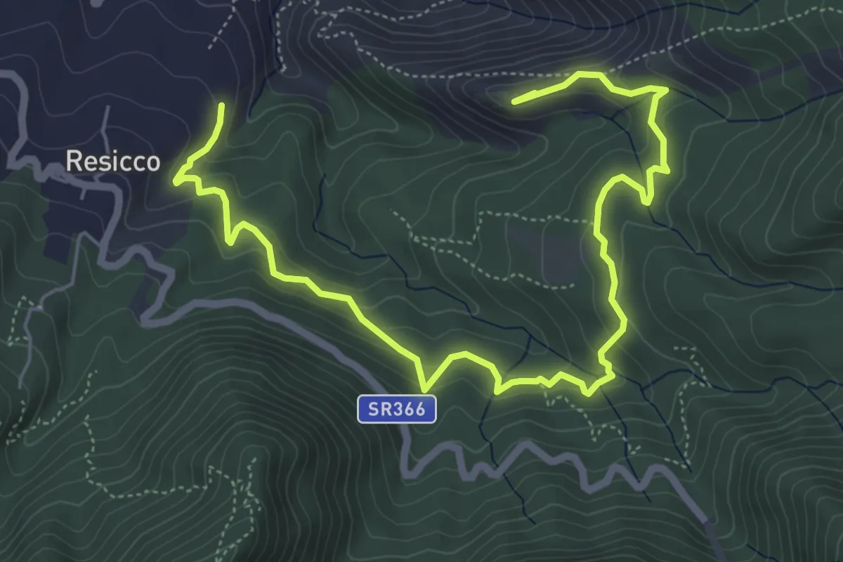
Medium · Summit
Sentiero Zappino
8.3 km · ↑ 441 m · 2 h 55 min · 14 km away
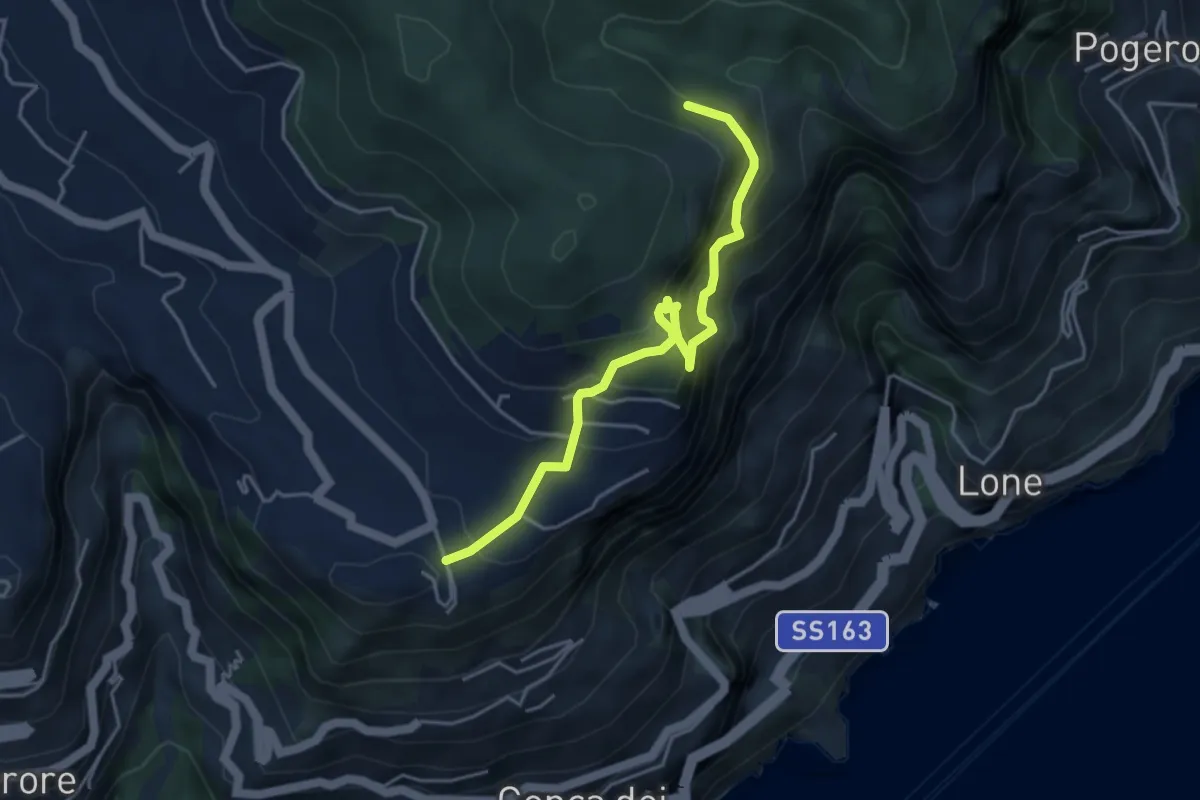
Expert · Trail
Ferrata di Cospita
4.7 km · ↑ 493 m · 2 h 11 min · 14 km away
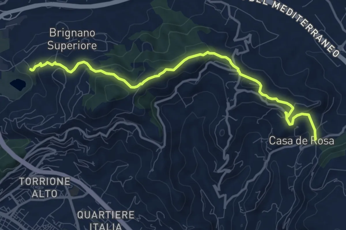
Medium · Trail
Brignano – Giovi
11.1 km · ↑ 485 m · 3 h 40 min · 14 km away
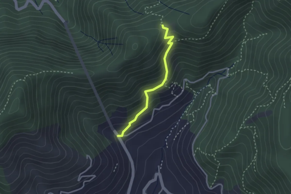
Medium · Trail
Le Palommelle
2.5 km · ↑ 211 m · 1 h 2 min · 14 km away
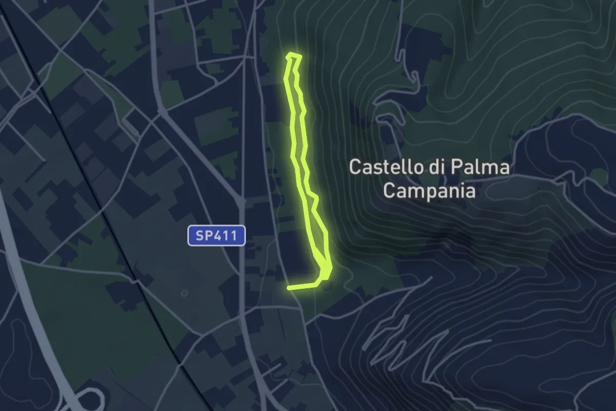
Easy · Trail
Bosco Crocelle
5.2 km · ↑ 115 m · 1 h 28 min · 14 km away