Trails near Norcia
45 hikes starting within 15 km, nearest first.
Nearest first
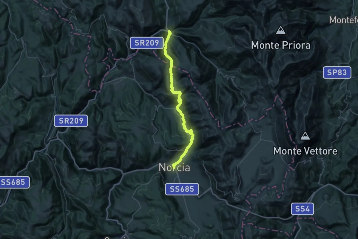
Demanding · Trail
Norcia – Visso
20.7 km · ↑ 1009 m · 7 h 22 min · under 1 km away
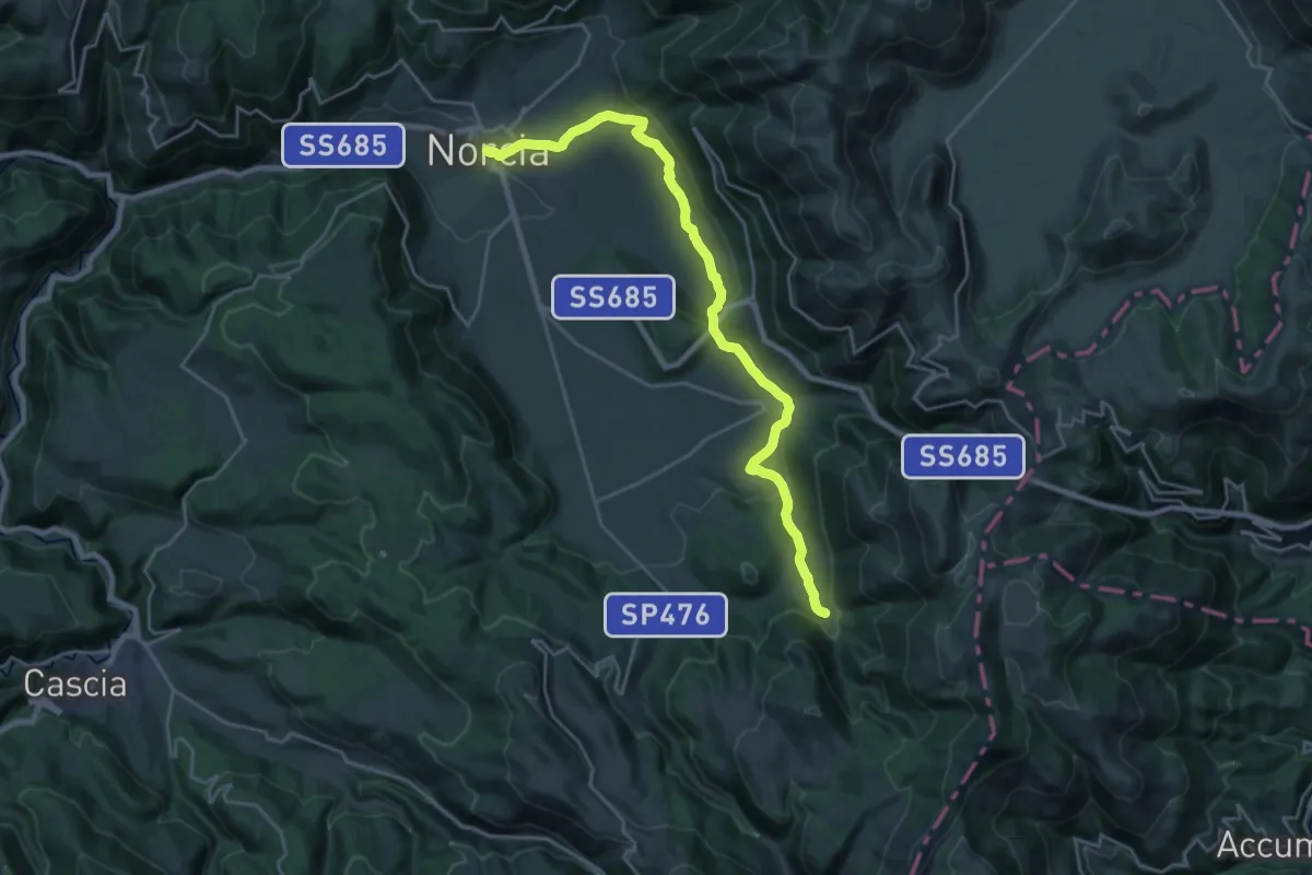
Demanding · Trail
Norcia – Nottoria
25.0 km · ↑ 733 m · 7 h 30 min · under 1 km away
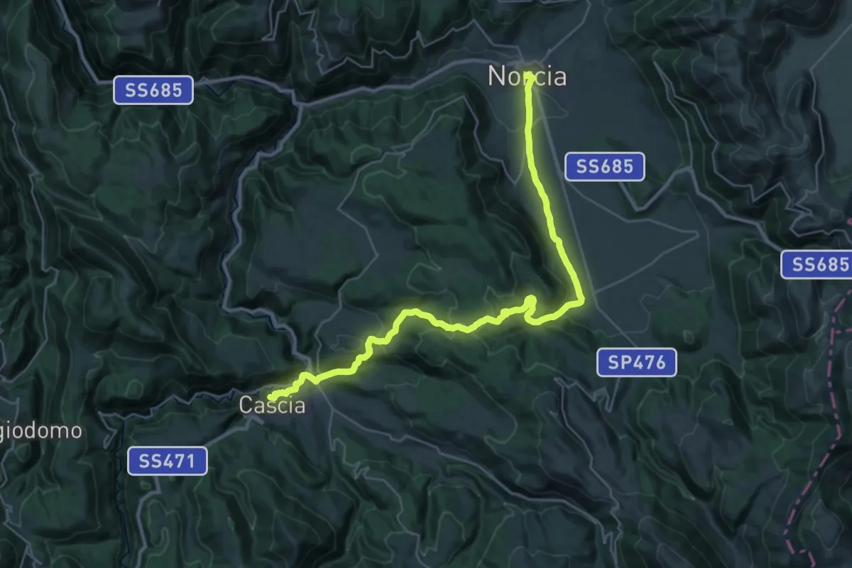
Medium · Trail
Cammino di San Benedetto - Tappa 01
17.4 km · ↑ 539 m · 5 h 29 min · under 1 km away
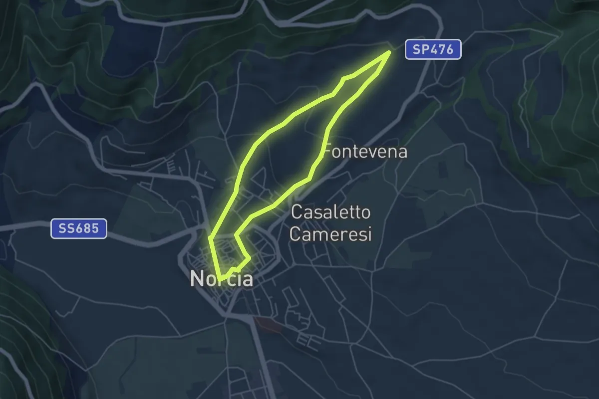
Easy · Trail
Percorso Natura N9
4.6 km · ↑ 147 m · 1 h 27 min · under 1 km away
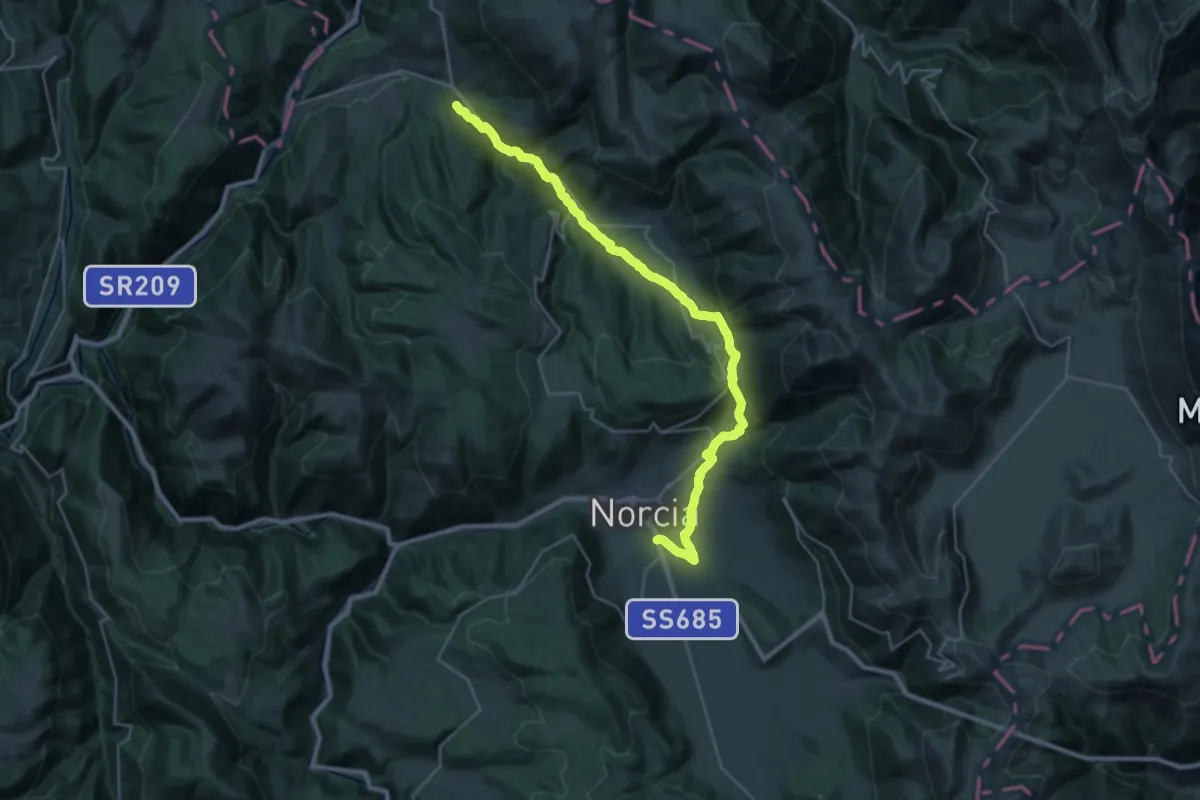
Medium · Trail
Norcia – Preci
16.4 km · ↑ 544 m · 5 h 17 min · 1 km away
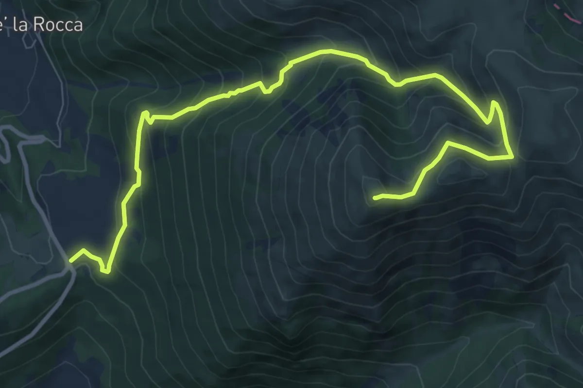
Demanding · Summit
Forca di Ancarano – Monte Patino
11.2 km · ↑ 910 m · 4 h 37 min · 4 km away
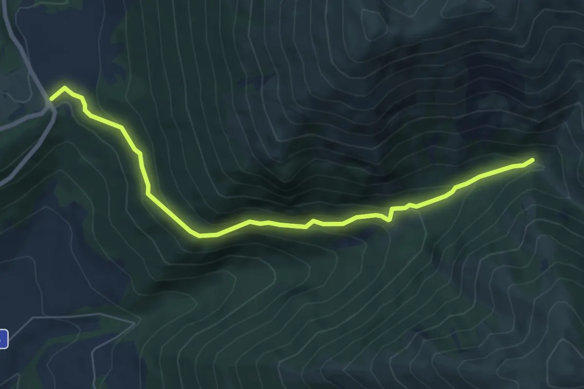
Medium · Trail
Forca di Arcarano – Forca di Giuda
7.0 km · ↑ 385 m · 2 h 30 min · 4 km away
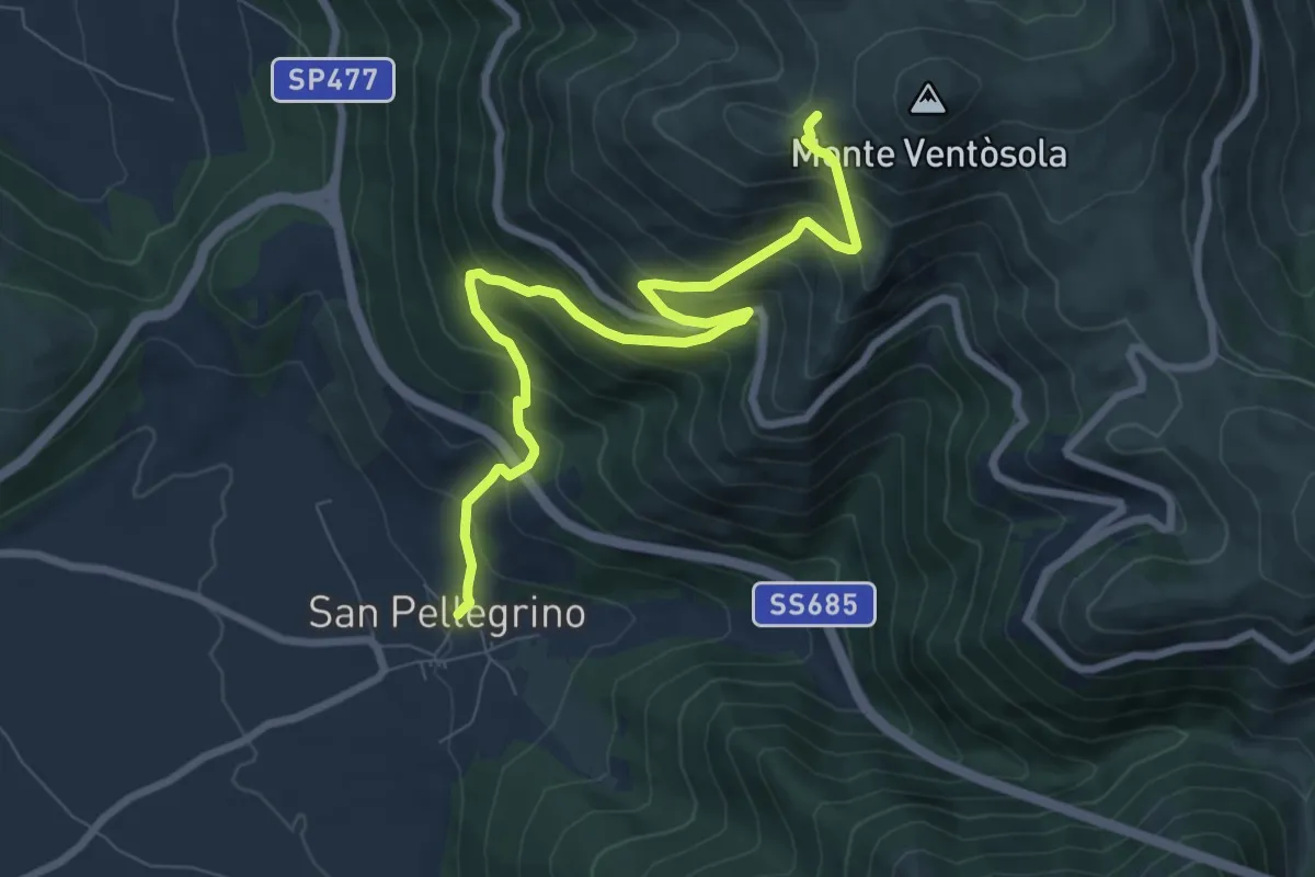
Medium · Trail
San Pellegrino – Intersezione percorso 571
9.2 km · ↑ 778 m · 3 h 51 min · 6 km away
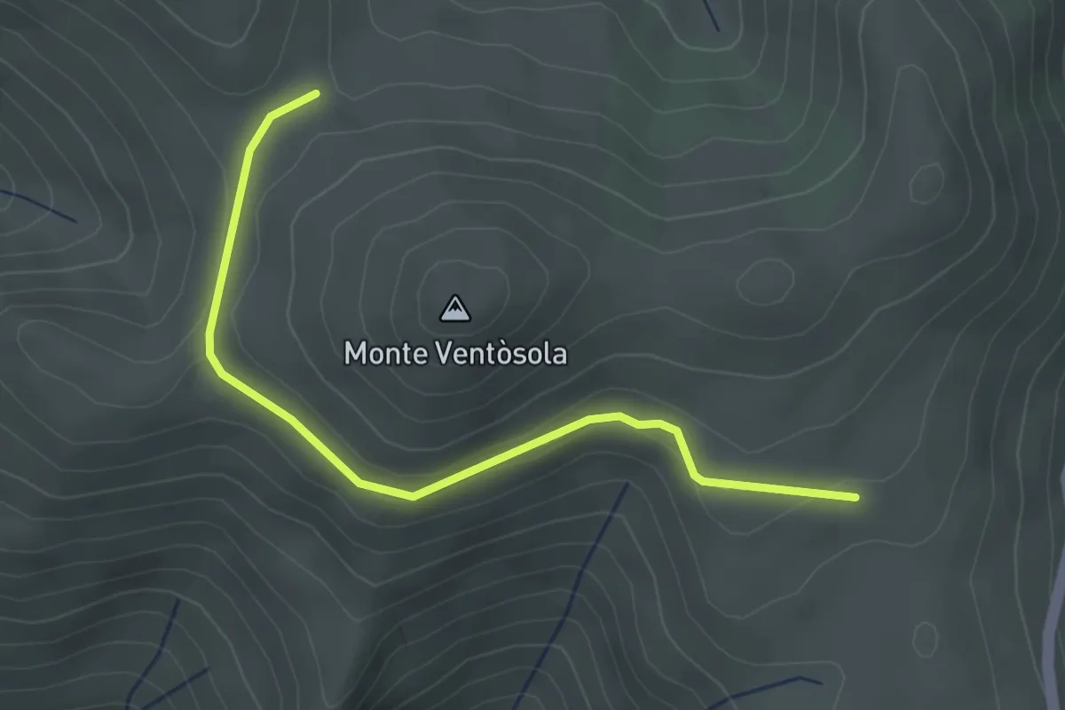
Easy · Trail
Intersezione Sentiero Italia – Grotta Lanna (GAS)
3.5 km · ↑ 67 m · 58 min · 6 km away
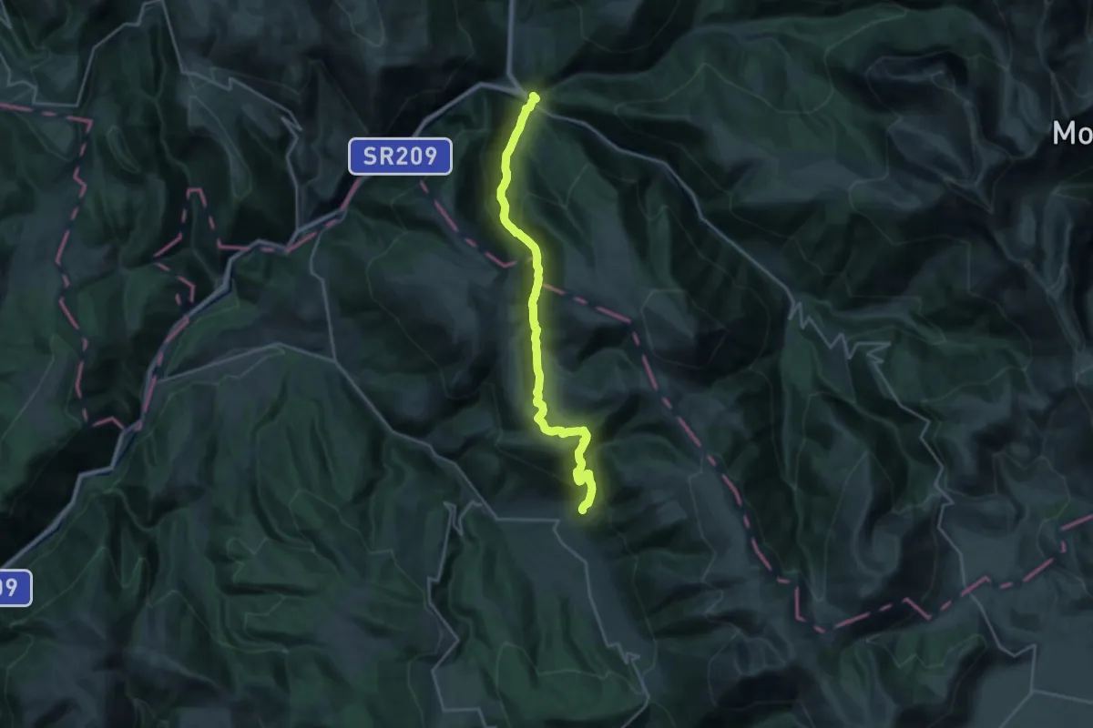
Demanding · Trail
Grande Anello dei Sibillini Tappa 9
21.8 km · ↑ 1111 m · 7 h 34 min · 7 km away
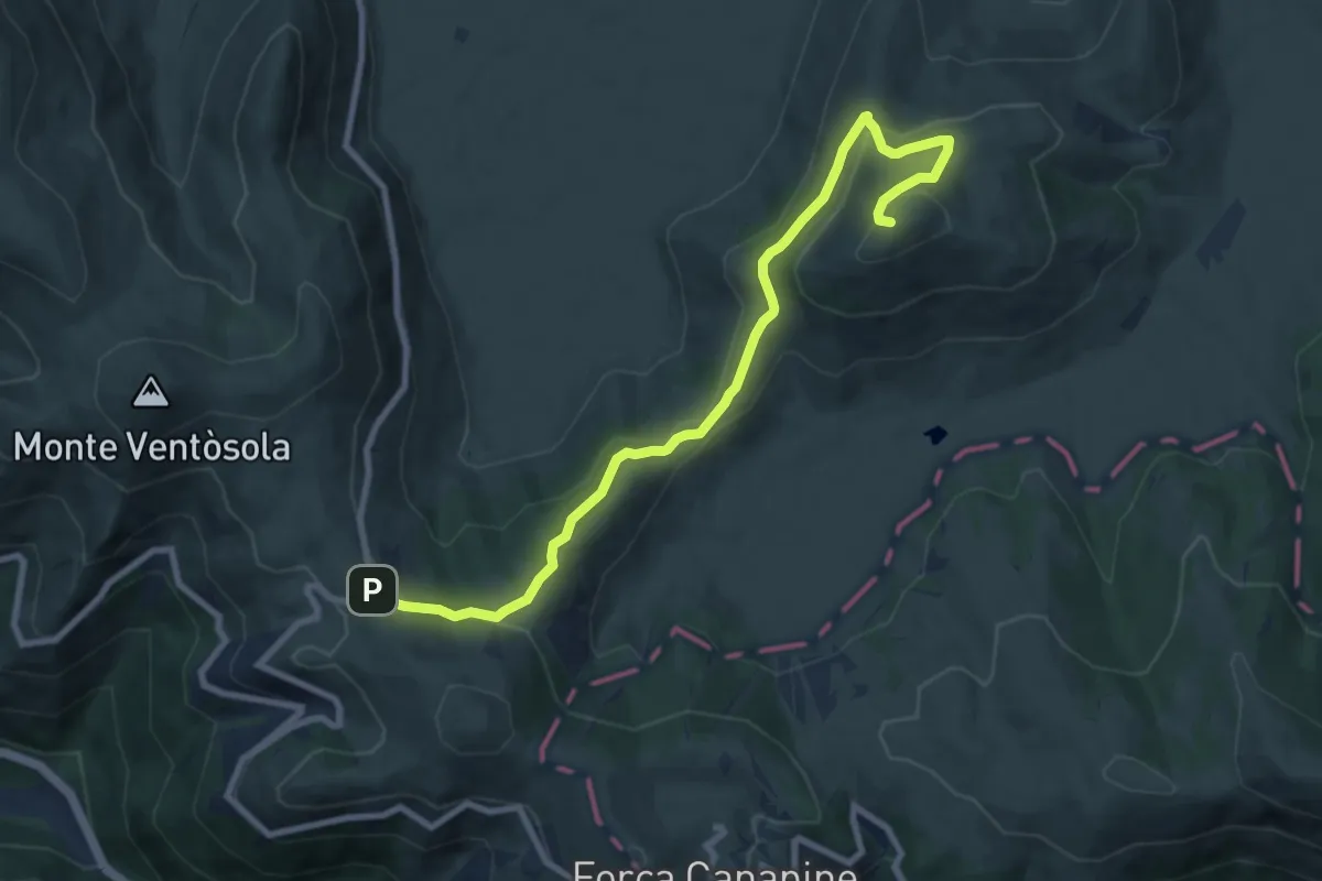
Medium · Summit
Rifugio Perugia – Monte Guaidone
9.8 km · ↑ 341 m · 3 h 4 min · 8 km away
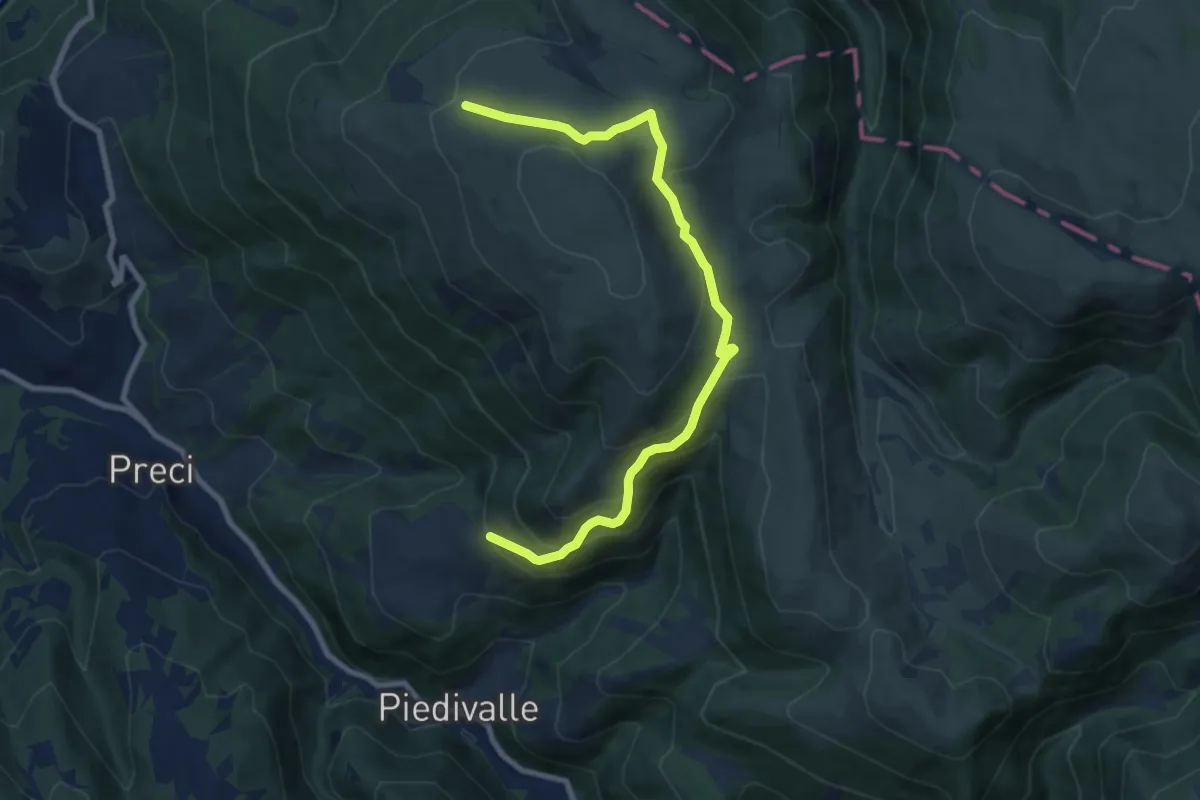
Medium · Trail
Collescille – Monte Argentiera
9.8 km · ↑ 592 m · 3 h 36 min · 10 km away
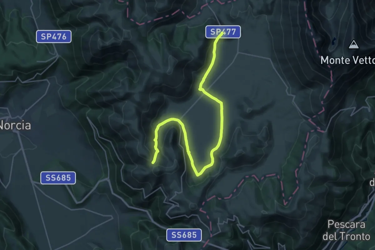
Demanding · Trail
Castelluccio di Norcia – Sentiero N571 (GAS)
25.7 km · ↑ 488 m · 7 h 7 min · 10 km away
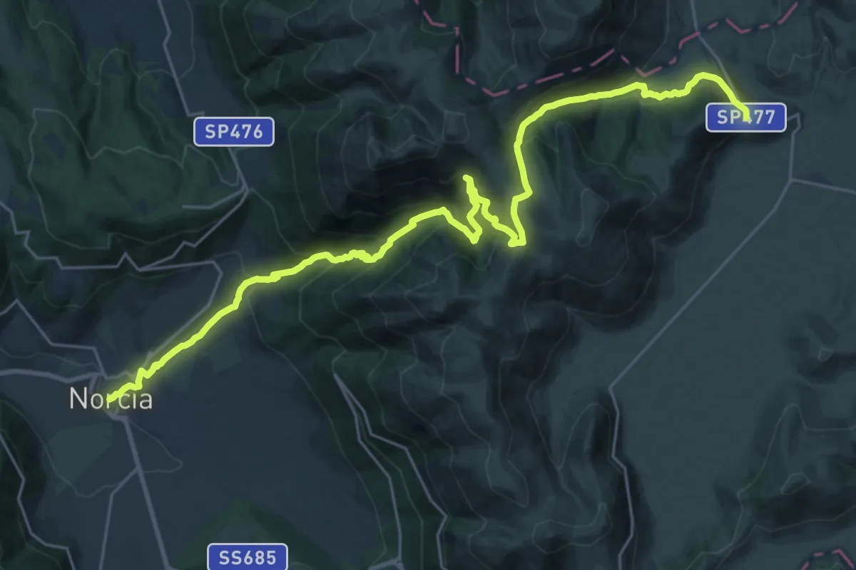
Medium · Trail
Castelluccio – Norcia
15.8 km · ↑ 445 m · 5 h 19 min · 10 km away
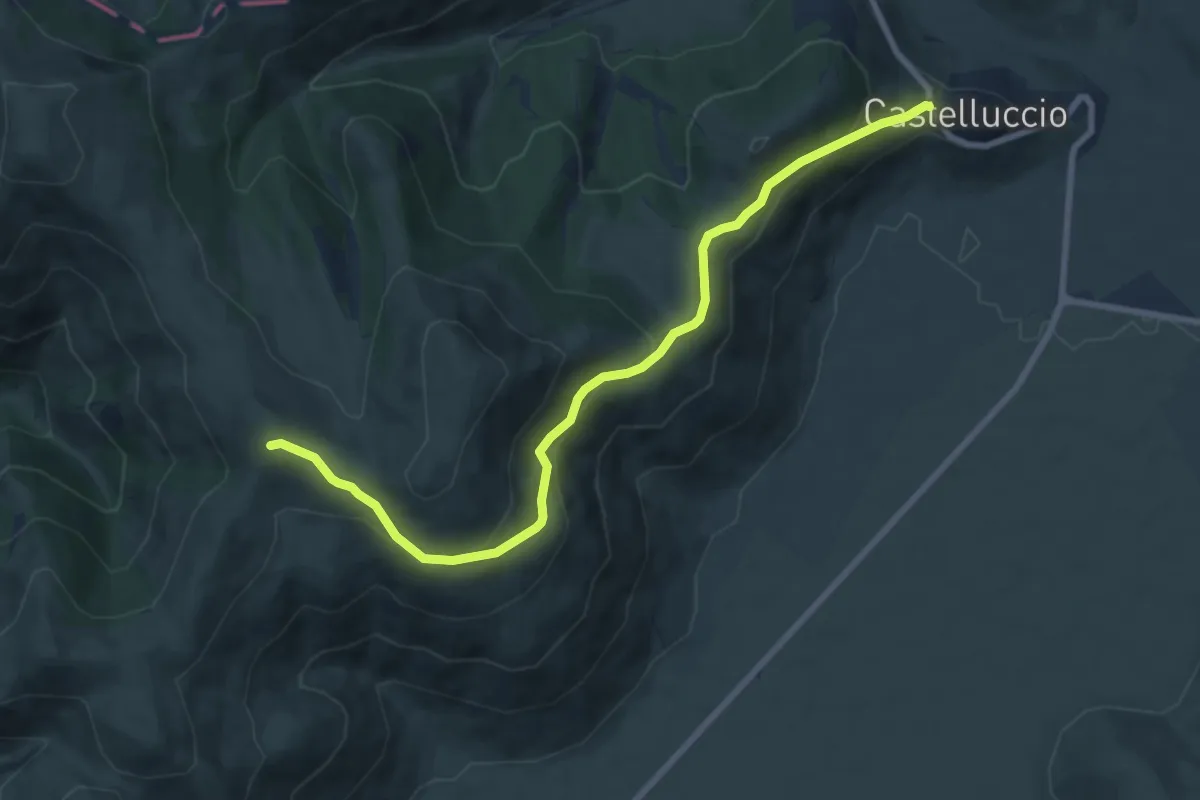
Medium · Trail
Castelluccio di Norcia – Coste Forconi
9.2 km · ↑ 397 m · 3 h 2 min · 10 km away
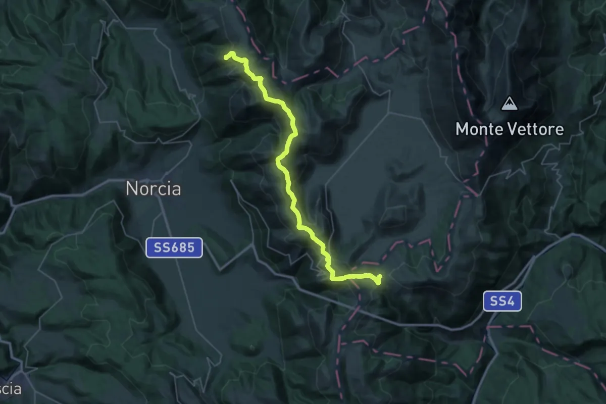
Demanding · Summit
Grande Anello dei Sibillini Tappa 8
30.9 km · ↑ 1117 m · 9 h 43 min · 10 km away
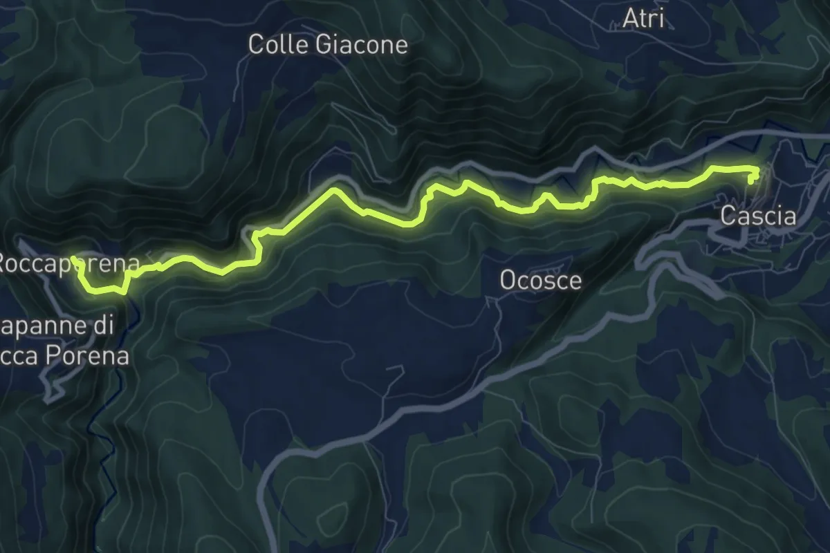
Easy · Pilgrim path
Sentiero di Santa Rita
5.4 km · ↑ 260 m · 1 h 54 min · 10 km away
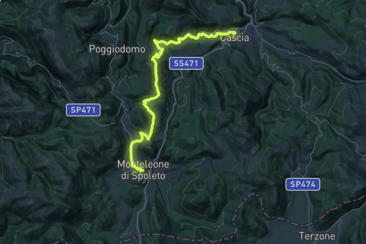
Demanding · Trail
Cammino di San Benedetto - Tappa 02
17.2 km · ↑ 912 m · 6 h 9 min · 10 km away
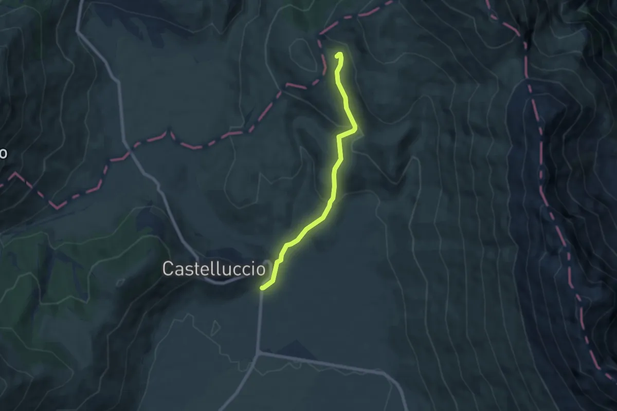
Easy · Trail
Castelluccio – Rifugio Capanna Ghezzi
6.0 km · ↑ 275 m · 2 h 1 min · 11 km away
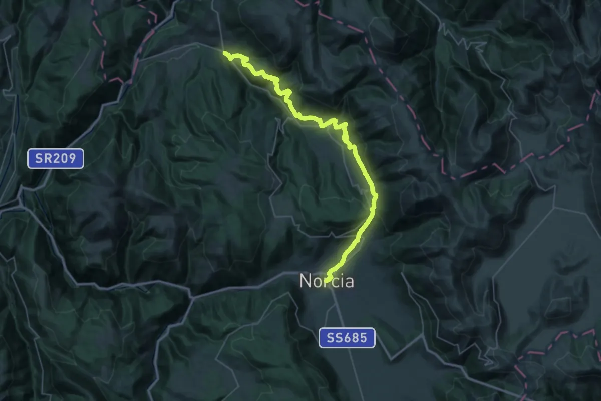
Demanding · Trail
Norcia – Borgo
17.8 km · ↑ 920 m · 6 h 24 min · 11 km away
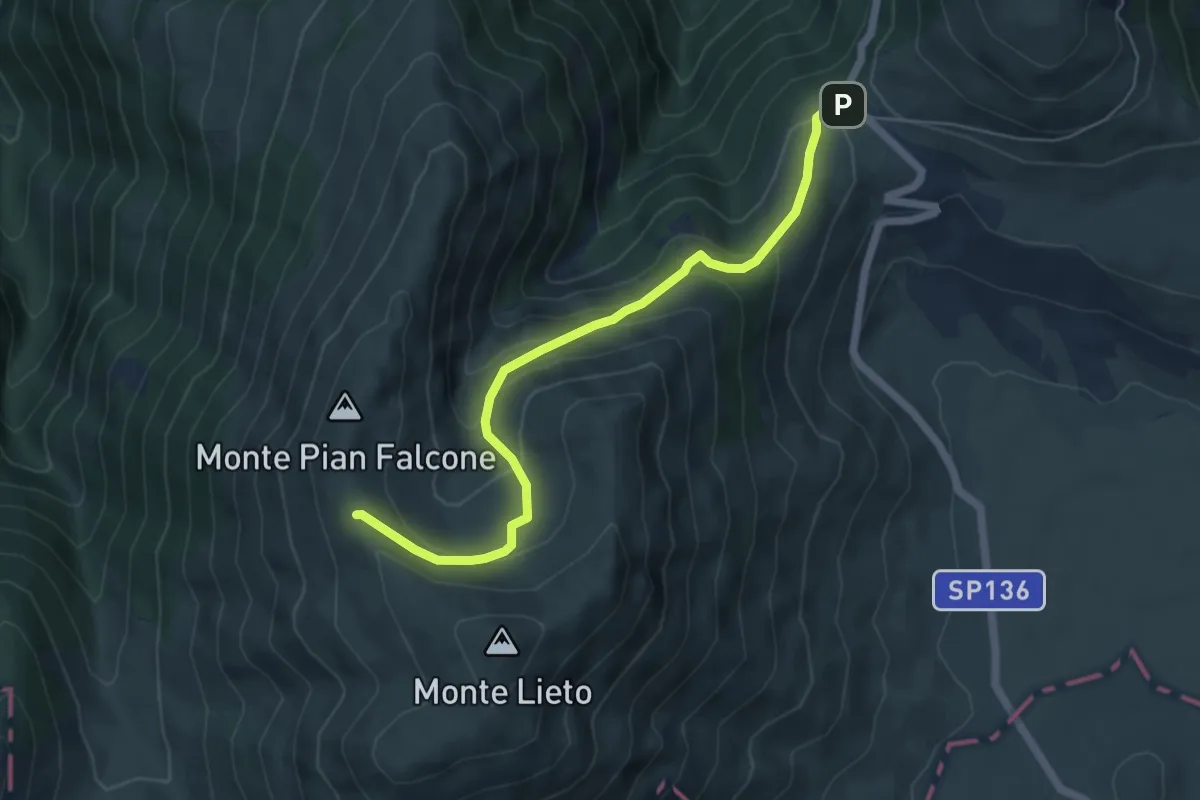
Medium · Trail
Forca di Gualdo – Monte Pian Falcone
5.9 km · ↑ 353 m · 2 h 10 min · 11 km away
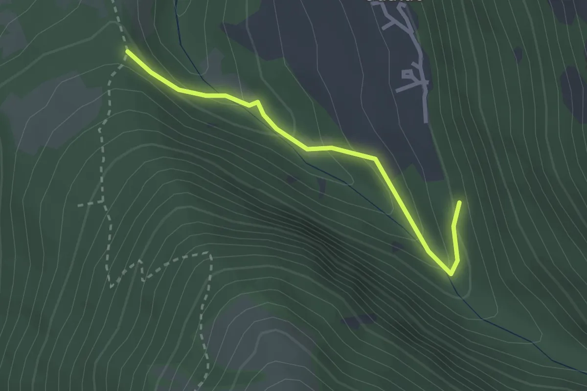
Easy · Trail
Sentiero N252 – Sentiero N253
2.6 km · ↑ 150 m · 56 min · 11 km away
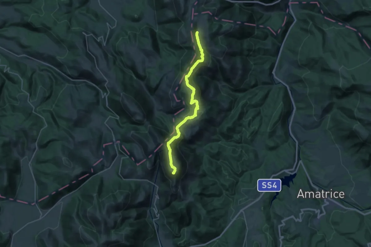
Demanding · Summit
Monte Prato – Forca dei Coppelli
24.4 km · ↑ 1179 m · 8 h 19 min · 11 km away
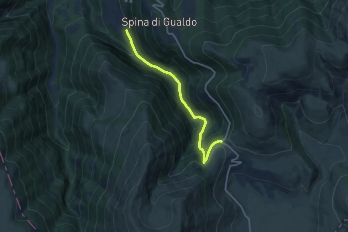
Medium · Trail
Gualdo – Forca di Gualdo
7.5 km · ↑ 535 m · 2 h 56 min · 11 km away
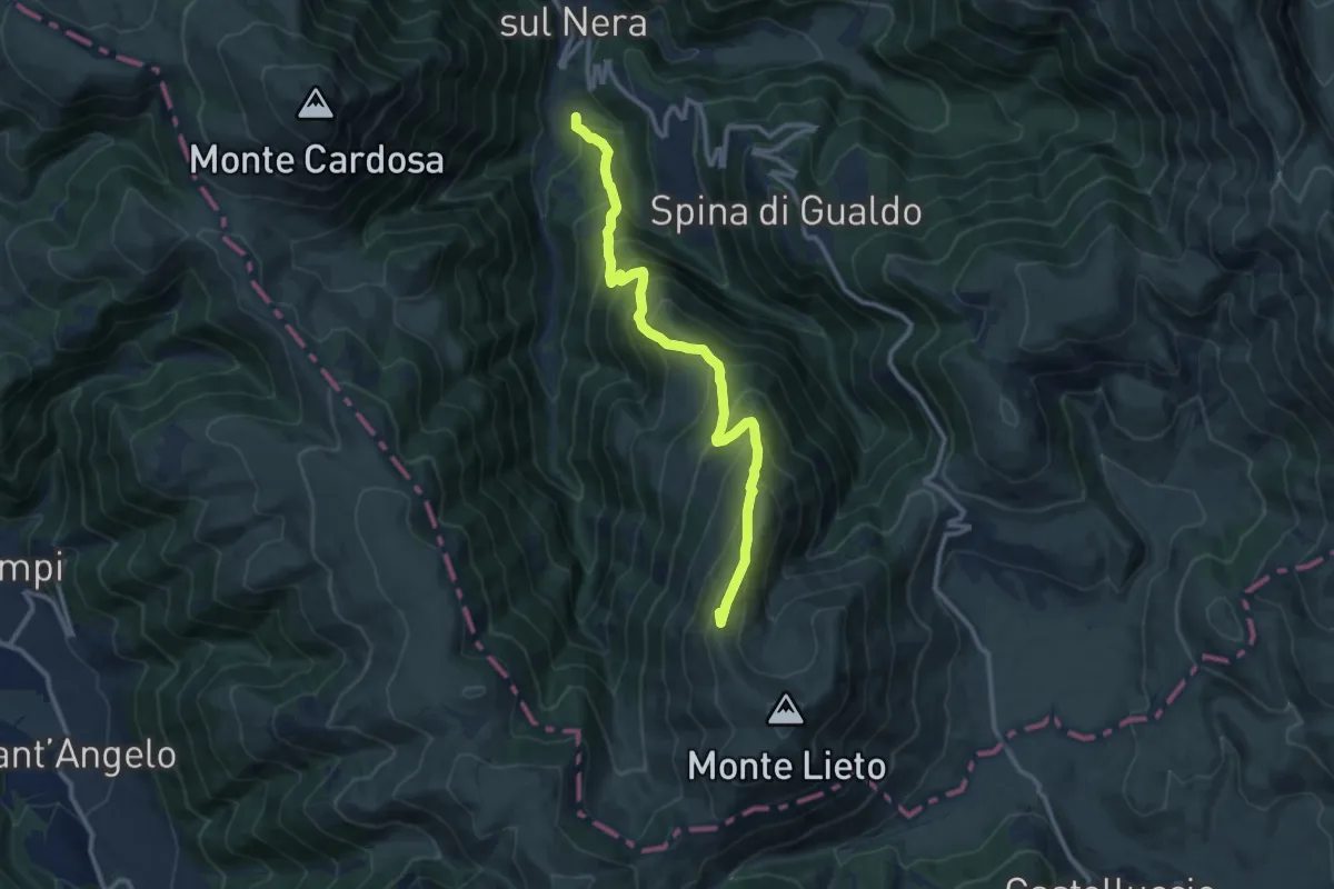
Demanding · Summit
Nocelleto – Monte Pian Falcone
11.7 km · ↑ 1086 m · 5 h 8 min · 12 km away
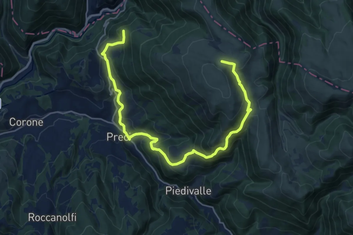
Demanding · Summit
Preci - Borgo – Preci - Borgo
20.0 km · ↑ 1220 m · 7 h 22 min · 12 km away
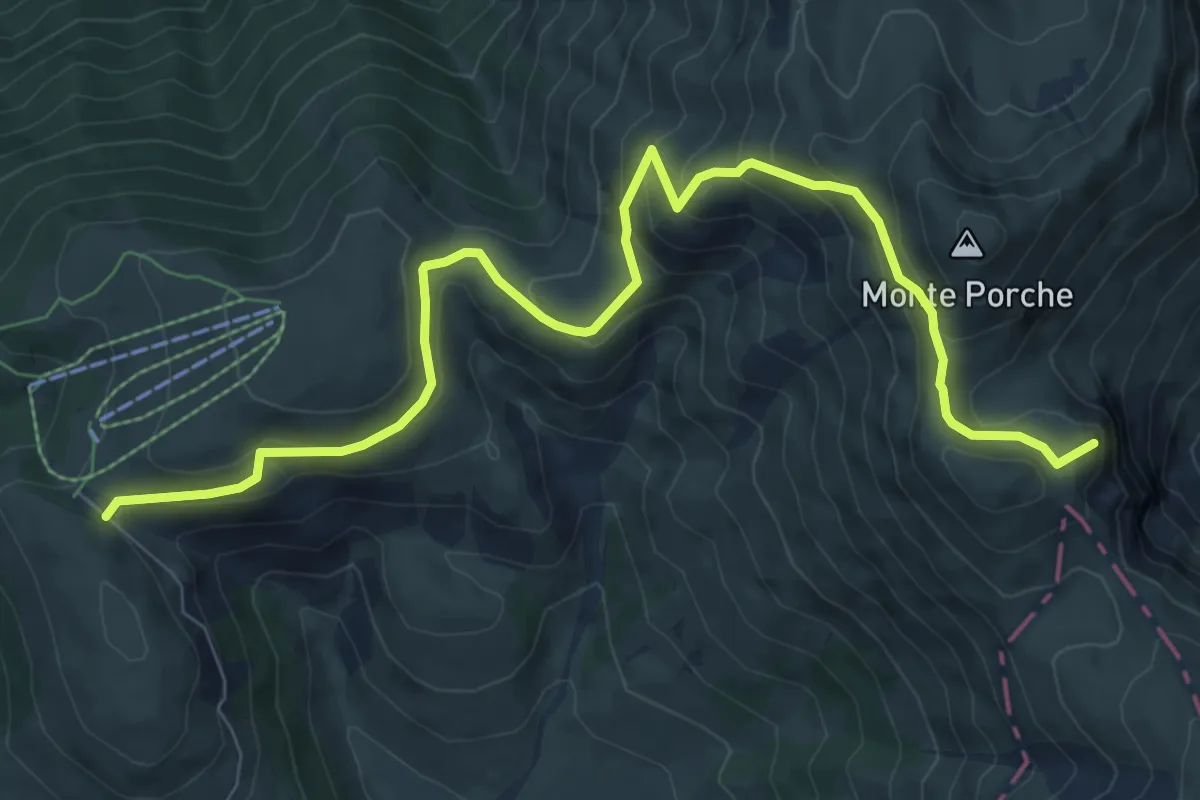
Medium · Summit
Parcheggio Monte Prata – Passo di Sasso Borghese
10.5 km · ↑ 598 m · 3 h 46 min · 12 km away
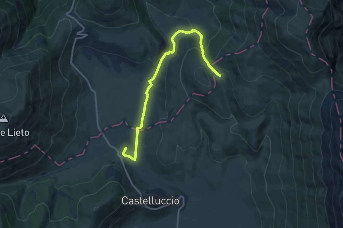
Medium · Summit
Castelluccio di Norcia (SI) – Rifugio Capanna Ghezzi
8.8 km · ↑ 329 m · 2 h 47 min · 12 km away
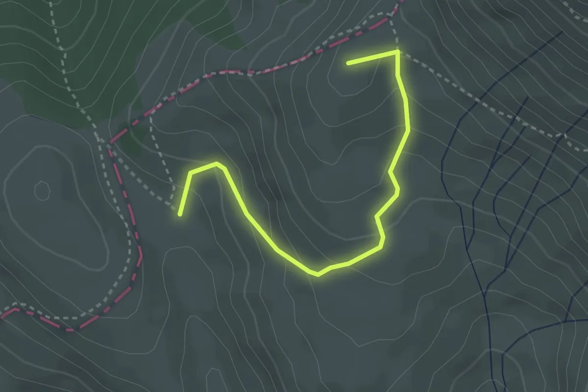
Medium · Summit
Strada Imperiale
3.2 km · ↑ 211 m · 1 h 13 min · 12 km away
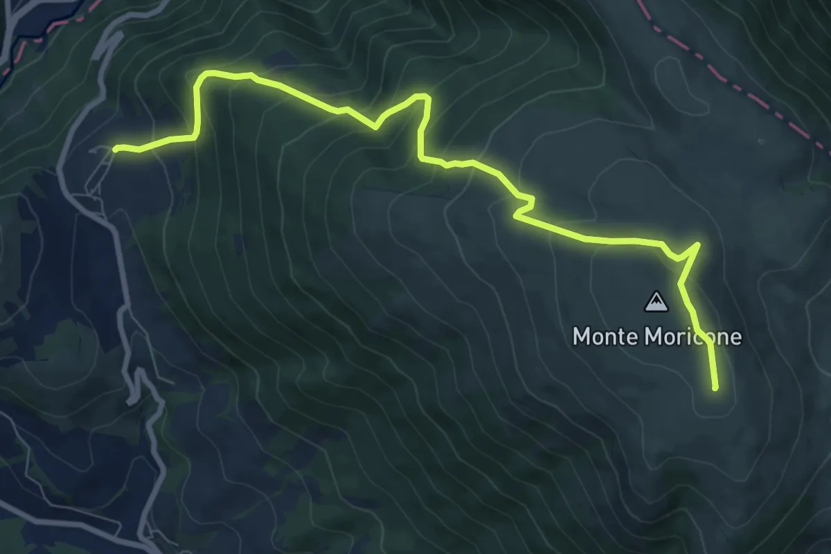
Medium · Summit
Saccovescio – Intersezione percorso 590
9.7 km · ↑ 710 m · 3 h 49 min · 13 km away
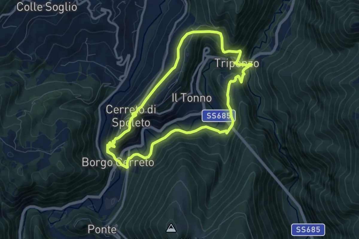
Medium · Trail
Strada della Salute
7.7 km · ↑ 331 m · 2 h 38 min · 13 km away
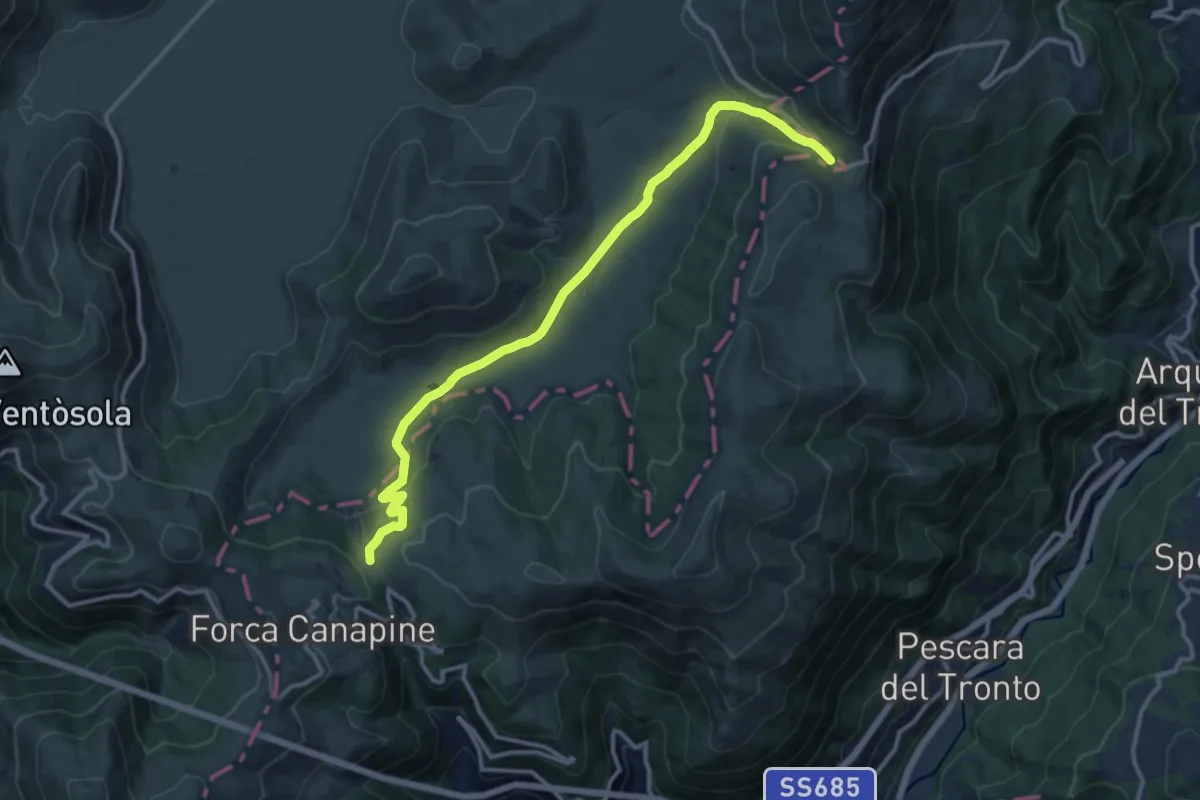
Medium · Cabin
Forca di Presta – Rifugio Colle le Cese (GAS)
13.8 km · ↑ 433 m · 4 h 12 min · 13 km away
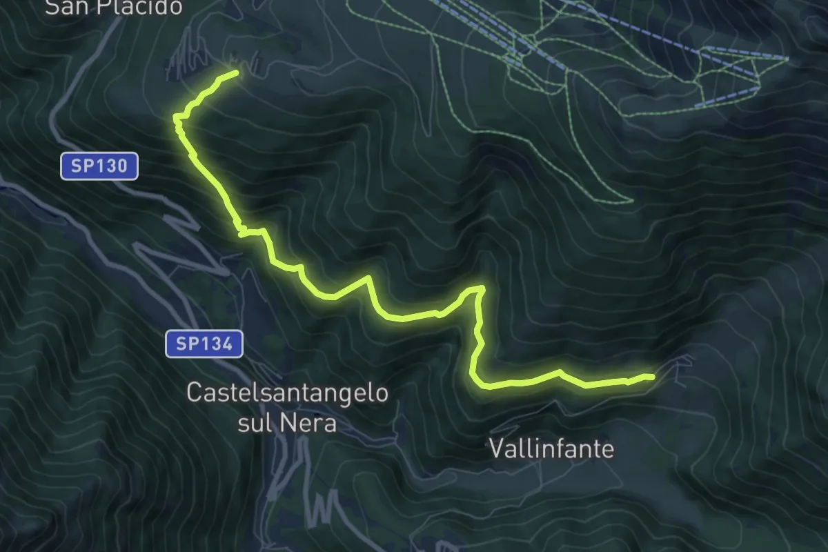
Medium · Trail
Frontignano di Ussita – Macchie
10.2 km · ↑ 771 m · 4 h 5 min · 14 km away
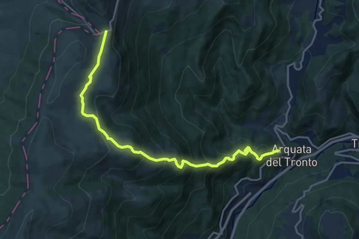
Demanding · Trail
Arquata del Tronto – Forca di Presta
11.1 km · ↑ 893 m · 4 h 34 min · 14 km away
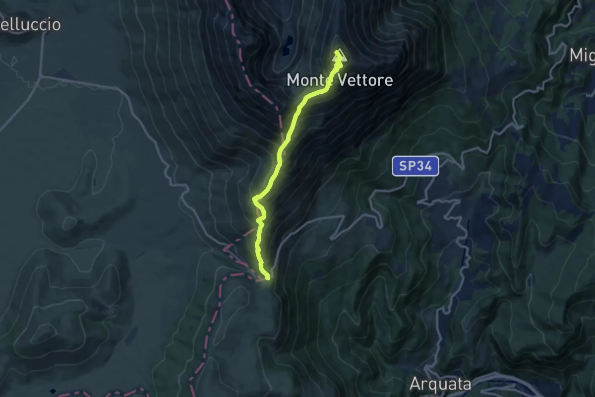
Demanding · Summit
Forca di Presta – Monte Vettore
9.9 km · ↑ 924 m · 4 h 20 min · 14 km away
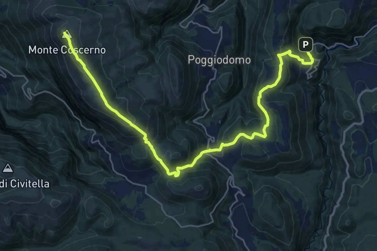
Demanding · Summit
Sentiero Ritiano
24.6 km · ↑ 1270 m · 8 h 33 min · 14 km away
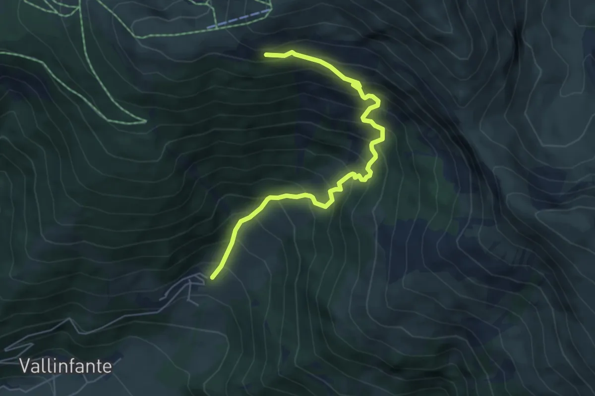
Demanding · Trail
Macchie – Sentiero N257
6.0 km · ↑ 707 m · 2 h 58 min · 14 km away
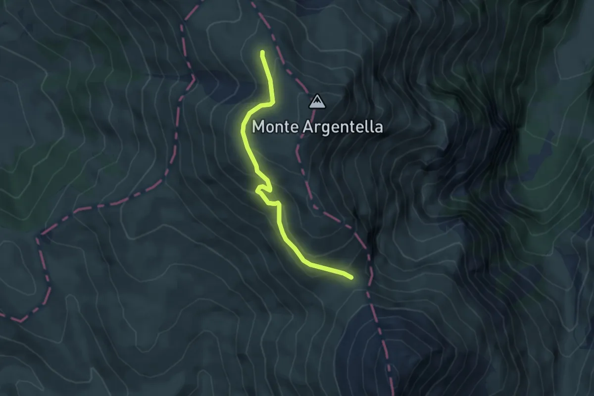
Medium · Trail
Forca Viola – Intersezione percorso 558
4.3 km · ↑ 241 m · 1 h 32 min · 14 km away
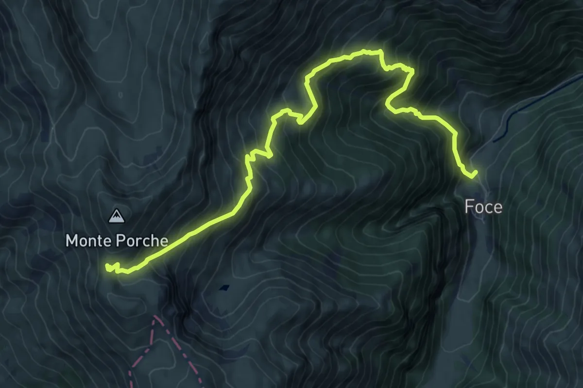
Demanding · Trail
Foce di Montemonaco – Sentiero N261
12.3 km · ↑ 1245 m · 5 h 36 min · 14 km away
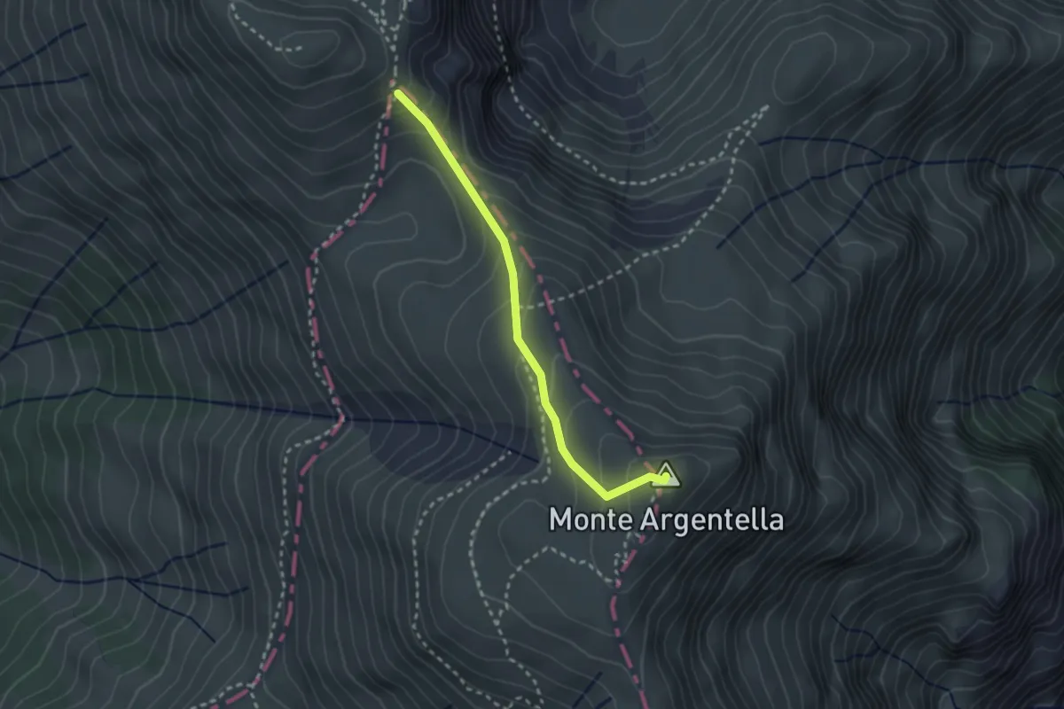
Medium · Summit
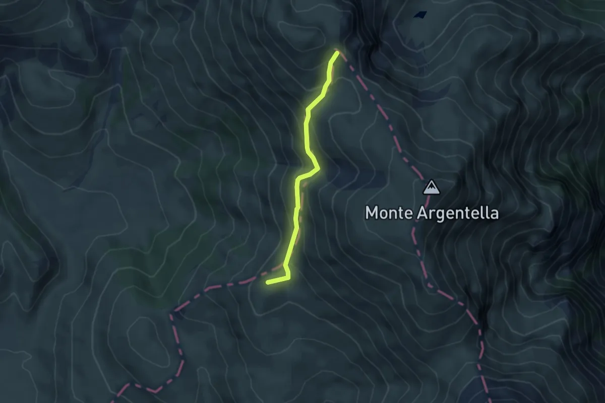
Passo di Sasso Borghese – Monte Argentella
2.7 km · ↑ 223 m · 1 h 7 min · 14 km away
Medium · Summit
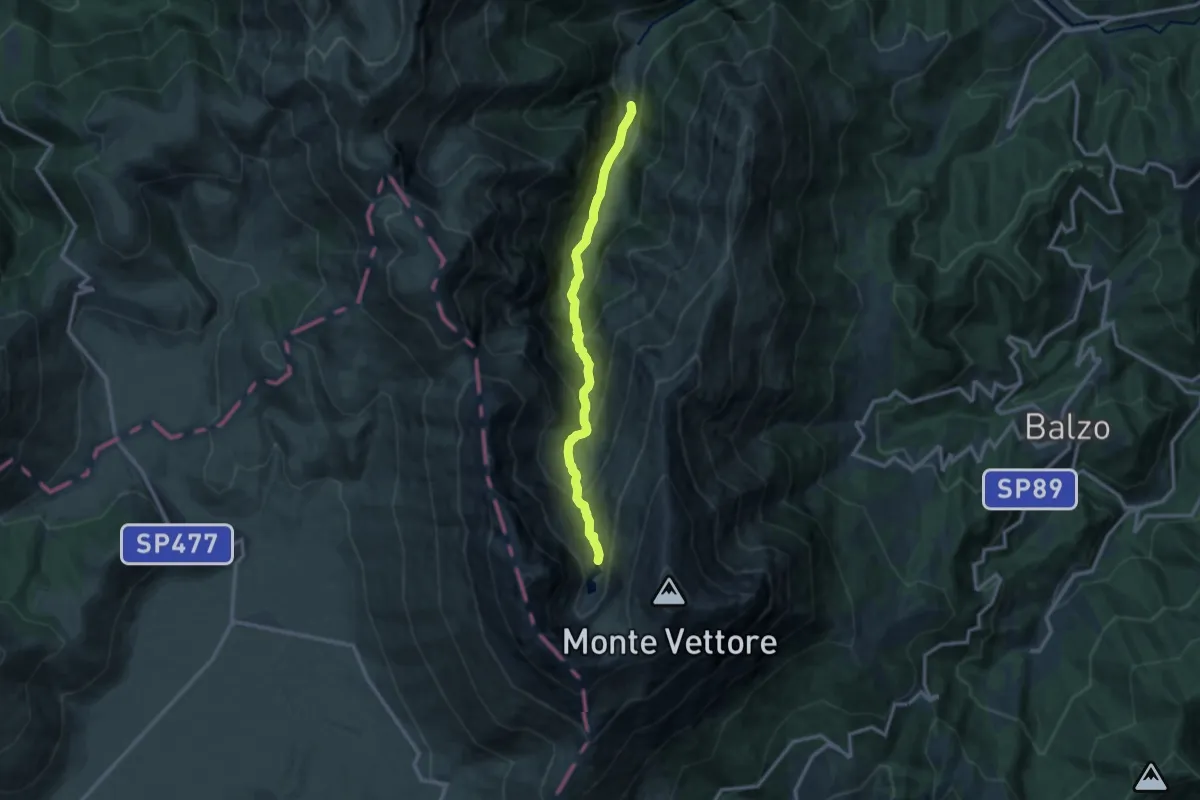
Strada Imperiale
3.9 km · ↑ 291 m · 1 h 33 min · 14 km away
Demanding · Cabin
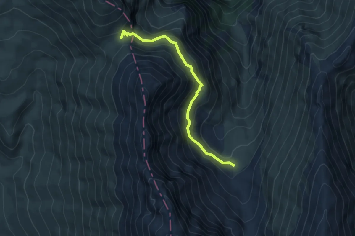
Foce di Montemonaco – Lago di Pilato
11.8 km · ↑ 1007 m · 4 h 58 min · 15 km away
Medium · Trail
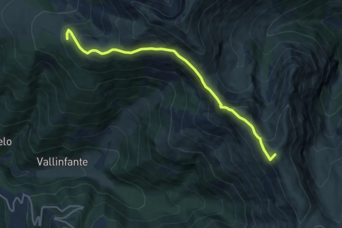
Sentiero N151 (Valle di Pilato) – Forca Viola
5.4 km · ↑ 383 m · 2 h 6 min · 15 km away
Medium · Summit
Impianti Belvedere – Monte Porche (ref:261)
10.1 km · ↑ 611 m · 3 h 42 min · 15 km away
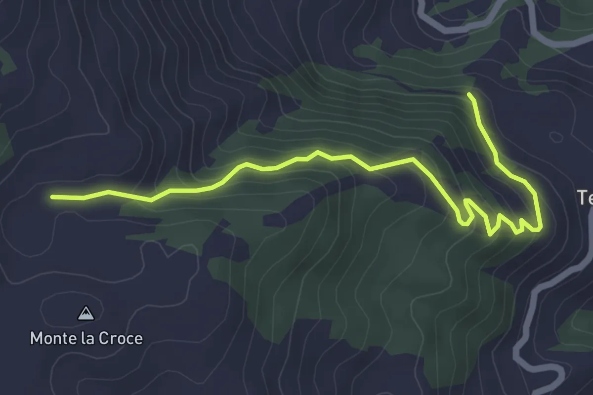
Medium · Trail
Rifugio Tosti – Terracino
5.0 km · ↑ 344 m · 1 h 55 min · 15 km away