Trails near Noventa Vicentina
60 hikes starting within 15 km, nearest first.
Nearest first, page 1 of 2
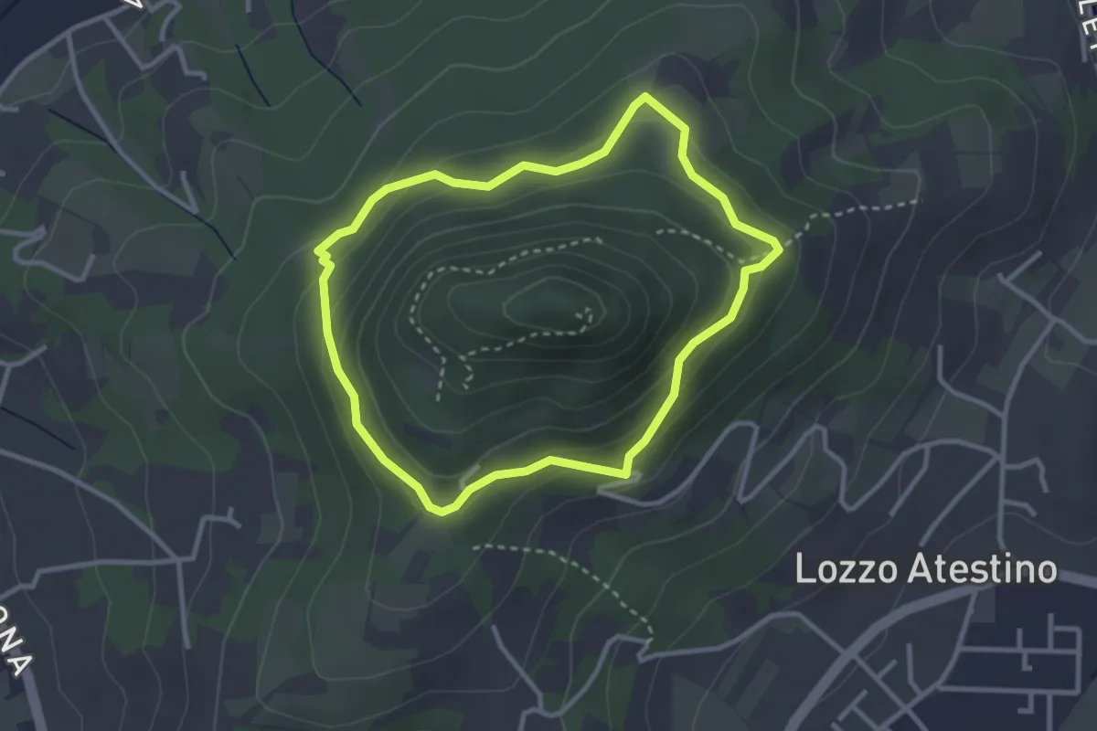
Easy · Trail
Sentiero del Monte Lozzo
2.8 km · ↑ 154 m · 1 h 2 min · 6 km away
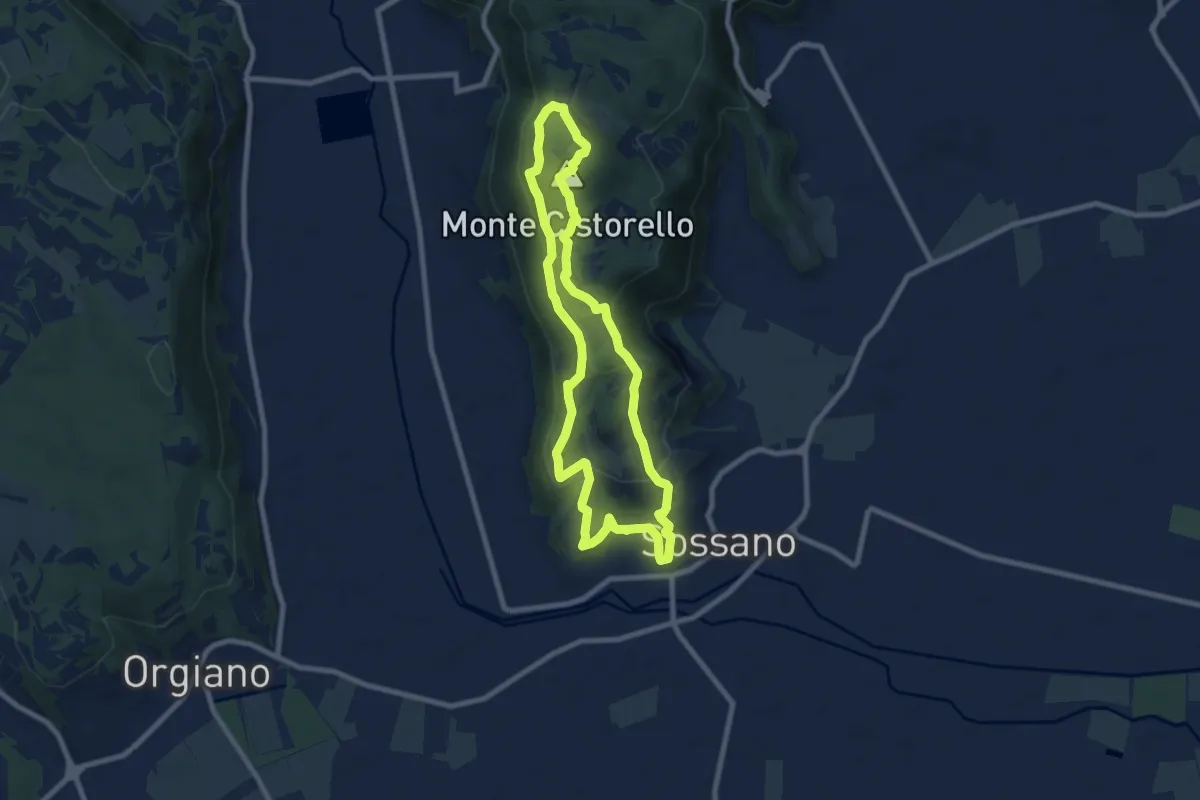
Medium · Summit
Sentiero n. 57 del Monte Cistorello
8.1 km · ↑ 308 m · 2 h 41 min · 8 km away
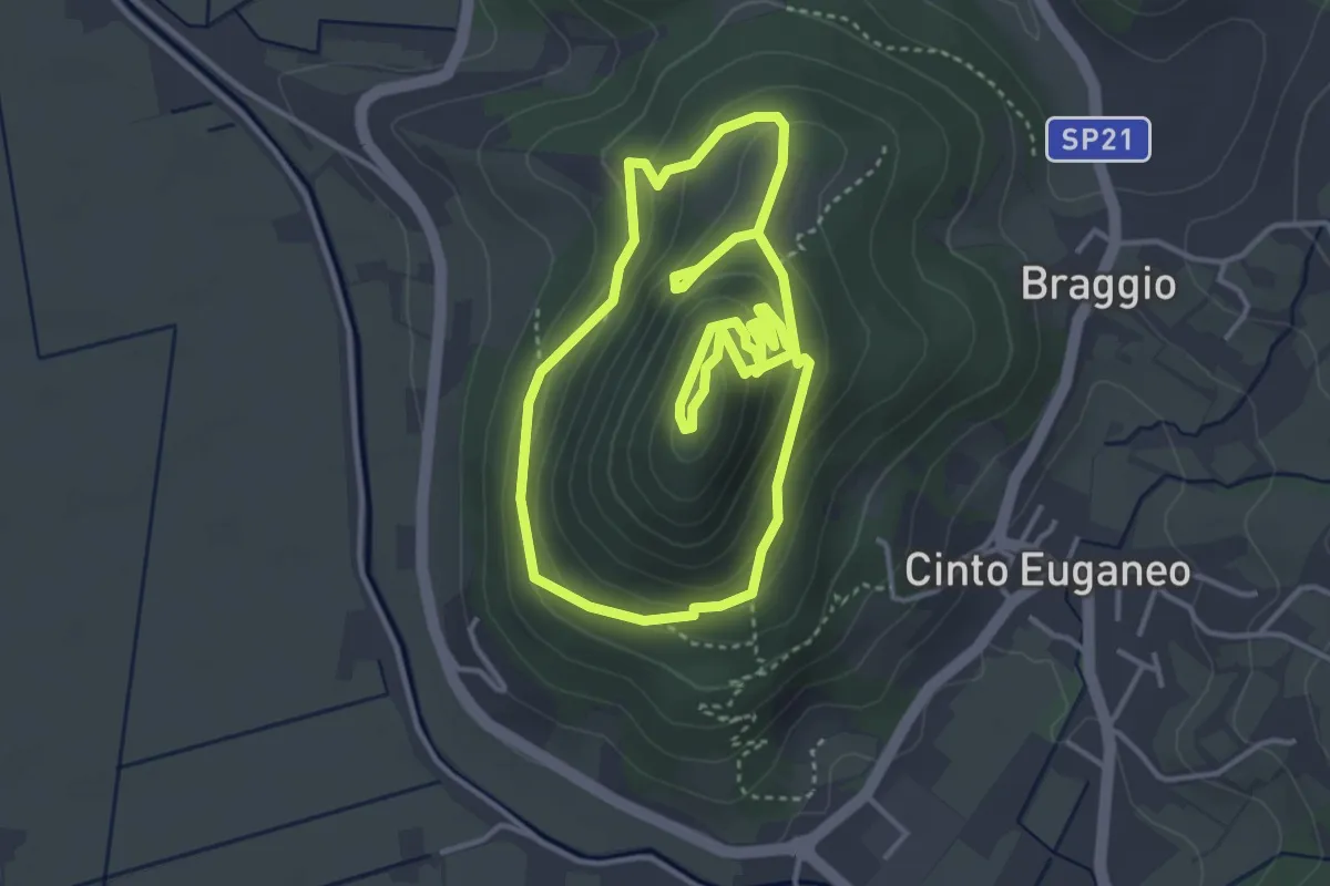
Medium · Summit
Sentiero del Monte Cinto
3.9 km · ↑ 206 m · 1 h 26 min · 9 km away
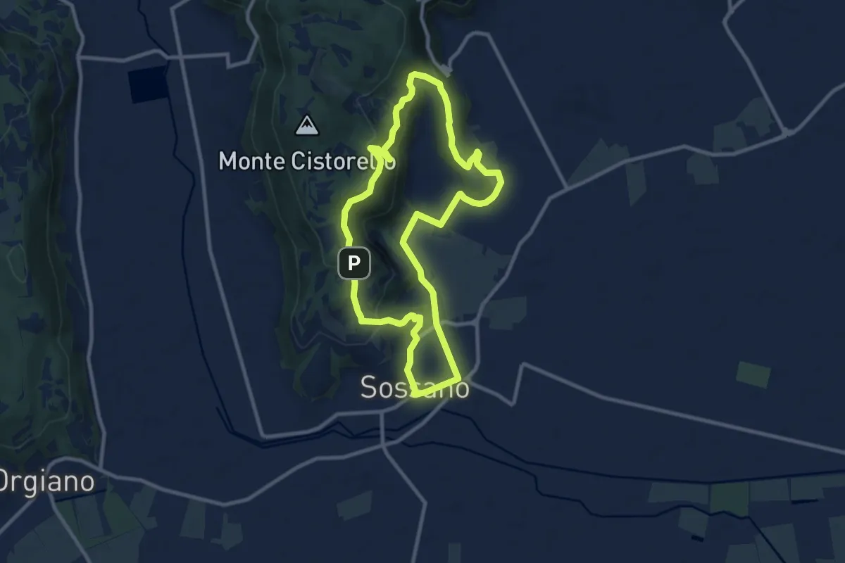
Medium · Trail
Sentiero n. 56 delle Fontane
9.3 km · ↑ 295 m · 2 h 57 min · 9 km away
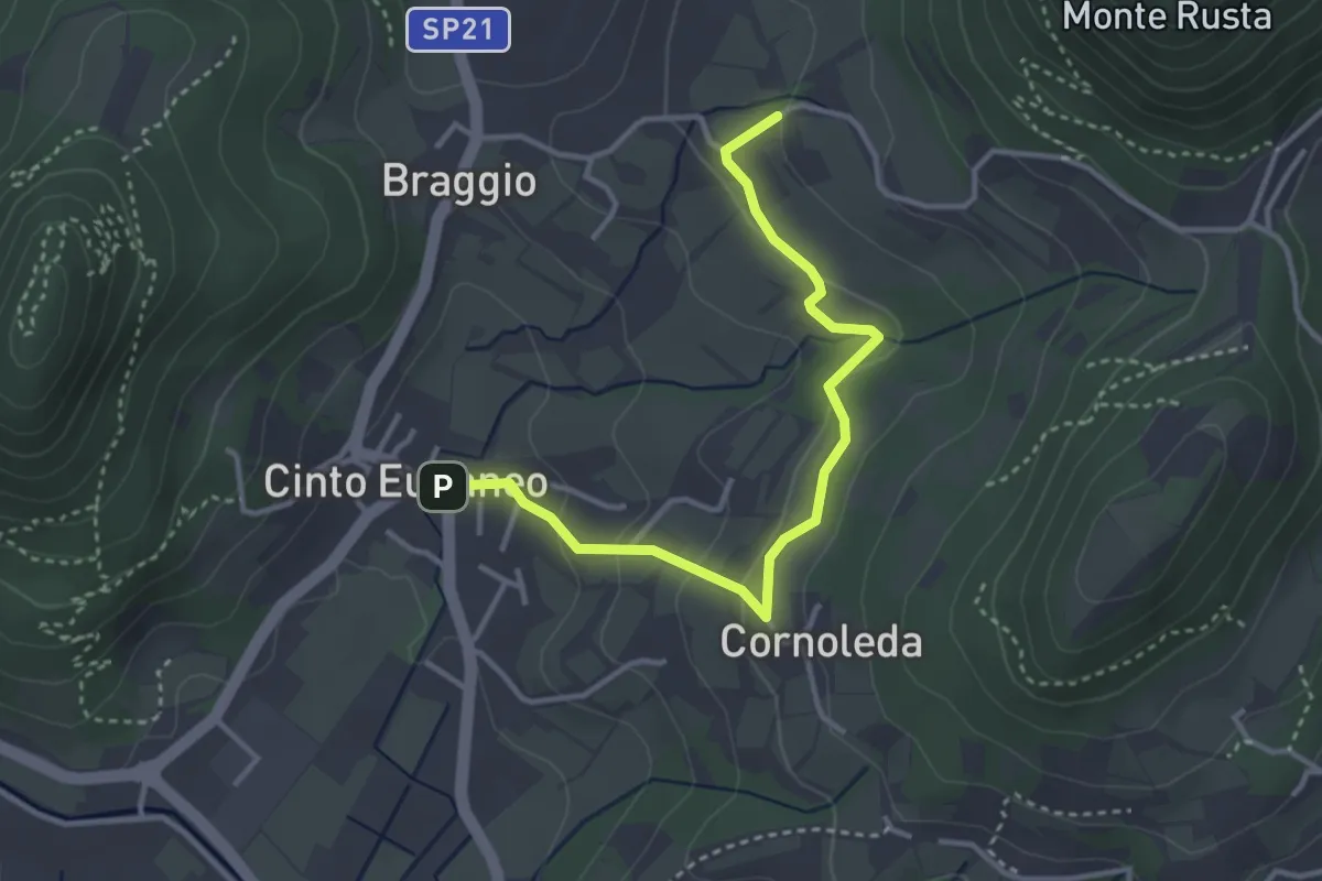
Easy · Trail
Allacciante "G" da Cinto Euganeo
3.6 km · ↑ 127 m · 1 h 8 min · 10 km away
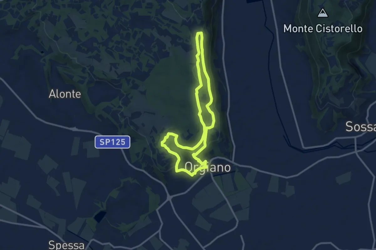
Medium · Summit
Sentiero n. 55 di Orgiano
8.8 km · ↑ 221 m · 2 h 40 min · 10 km away
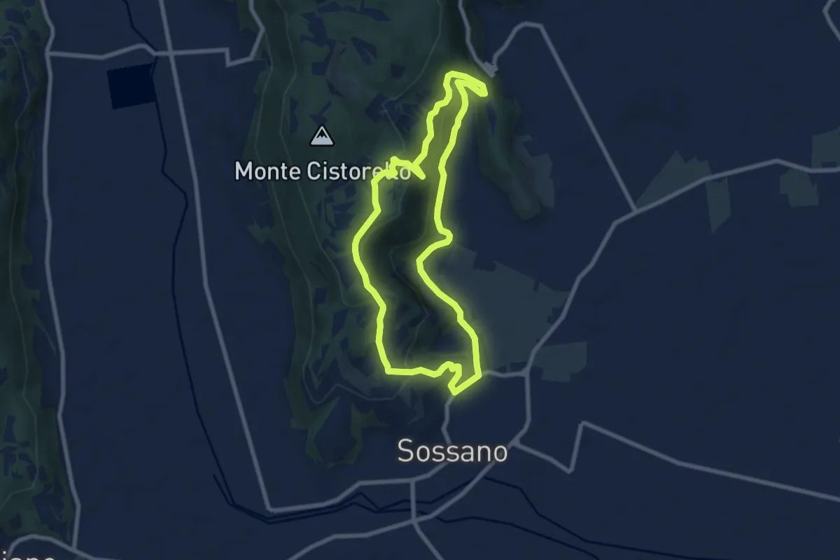
Easy · Summit
Sentiero n. 52 del Grumale
7.4 km · ↑ 280 m · 2 h 27 min · 10 km away
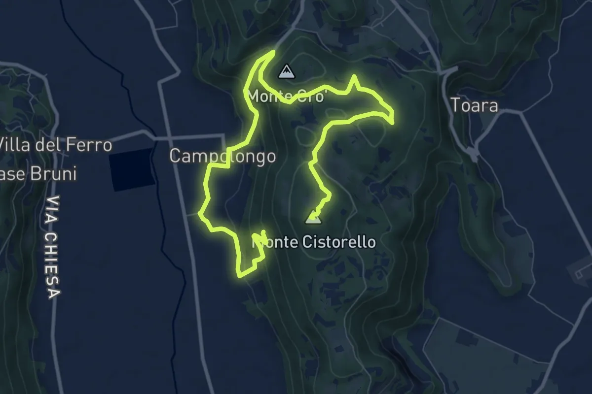
Medium · Summit
Sentiero di Campolongo
12.7 km · ↑ 424 m · 3 h 55 min · 11 km away
Easy · Trail
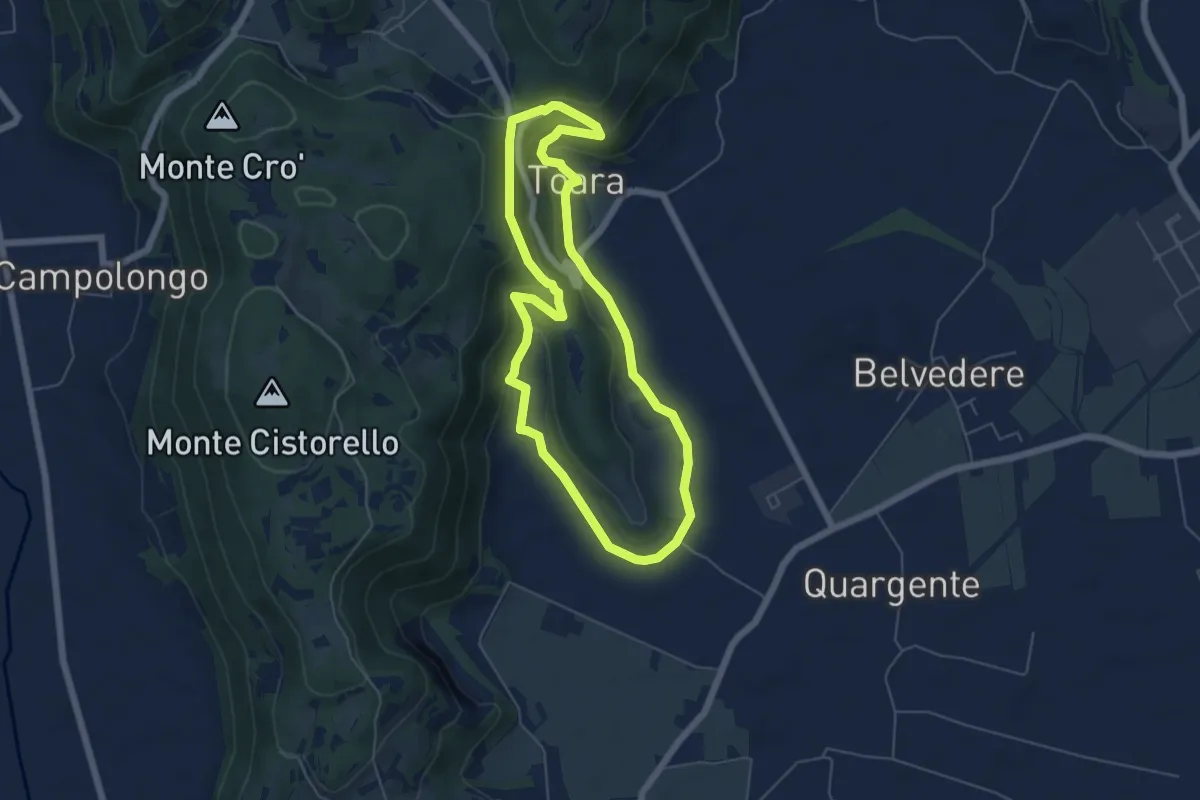
Sentiero delle Riveselle
5.5 km · ↑ 154 m · 1 h 43 min · 11 km away
Medium · Summit
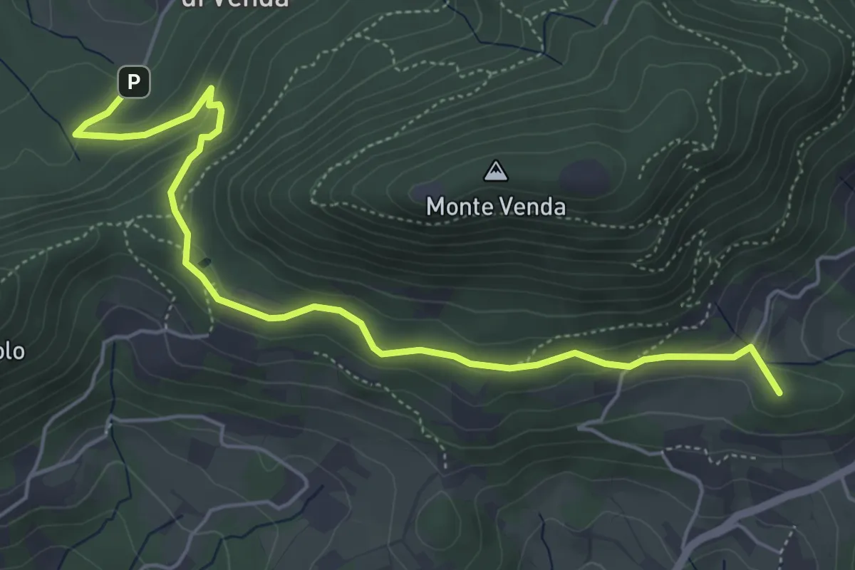
Sentiero del Monte Venda
6.0 km · ↑ 205 m · 1 h 51 min · 11 km away
Easy · Trail
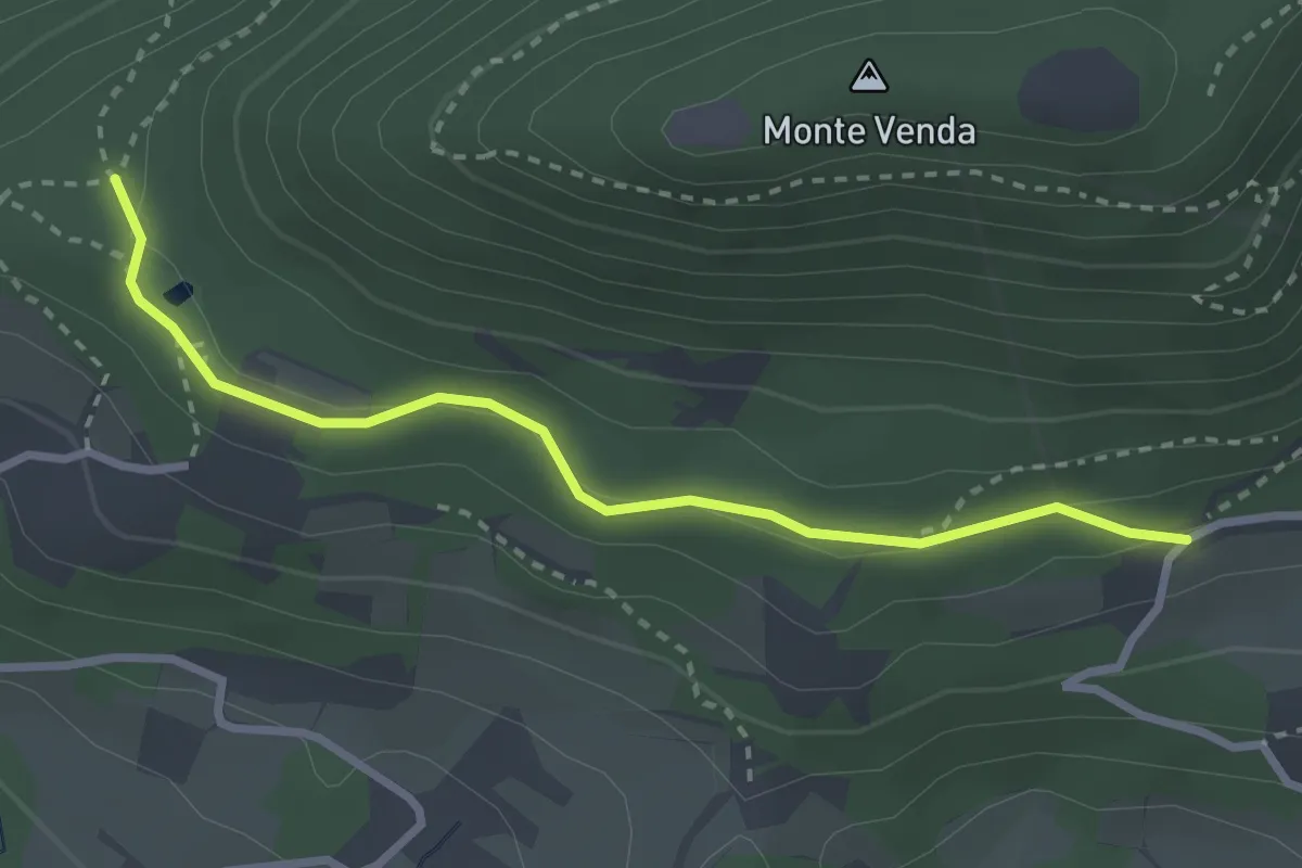
Percorso alternativo "Q"
2.9 km · ↑ 79 m · 51 min · 11 km away
Medium · Trail
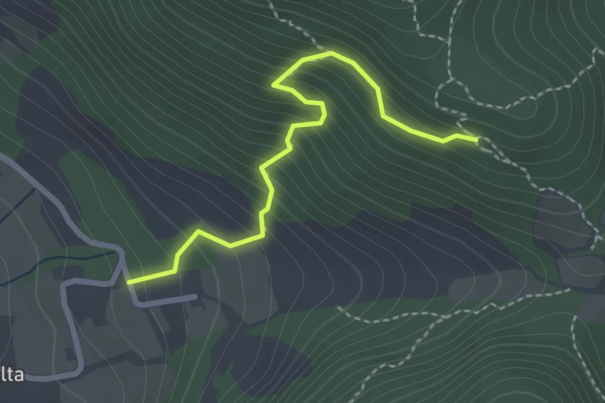
Allacciante "I" da Zovon
2.1 km · ↑ 261 m · 1 h 3 min · 11 km away
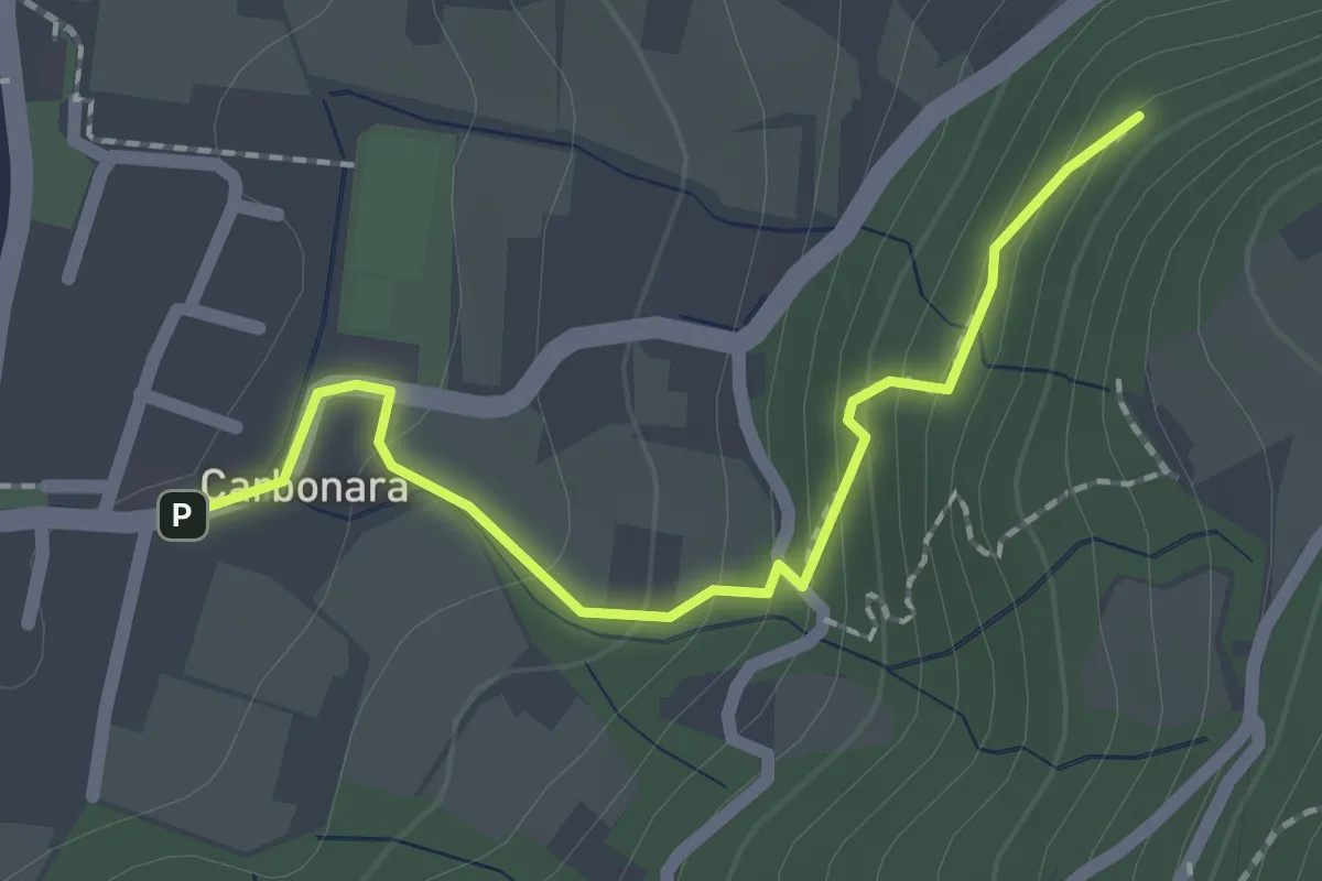
Easy · Trail
R6A - Sentiero di San Pietro variante da Carbonara
2.0 km · ↑ 111 m · 42 min · 11 km away
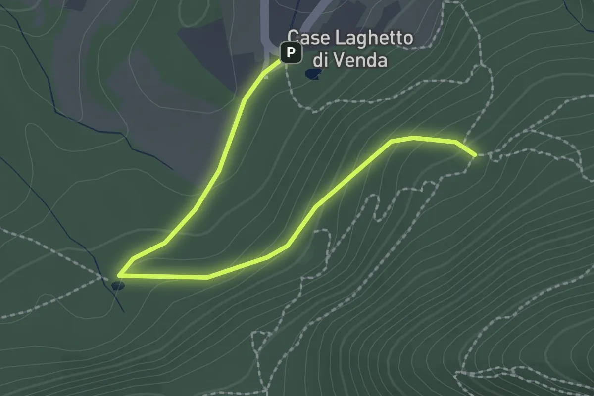
Easy · Trail
Allacciante "H" da Case Laghetto del Venda
2.6 km · ↑ 111 m · 51 min · 11 km away
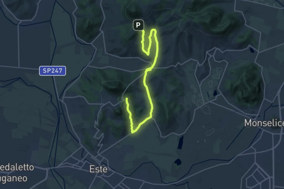
Demanding · Summit
Percorso delle Fontane
19.2 km · ↑ 461 m · 5 h 33 min · 11 km away
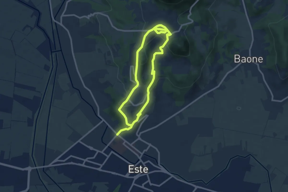
Easy · Summit
Sentiero del Principe
6.3 km · ↑ 190 m · 1 h 59 min · 11 km away
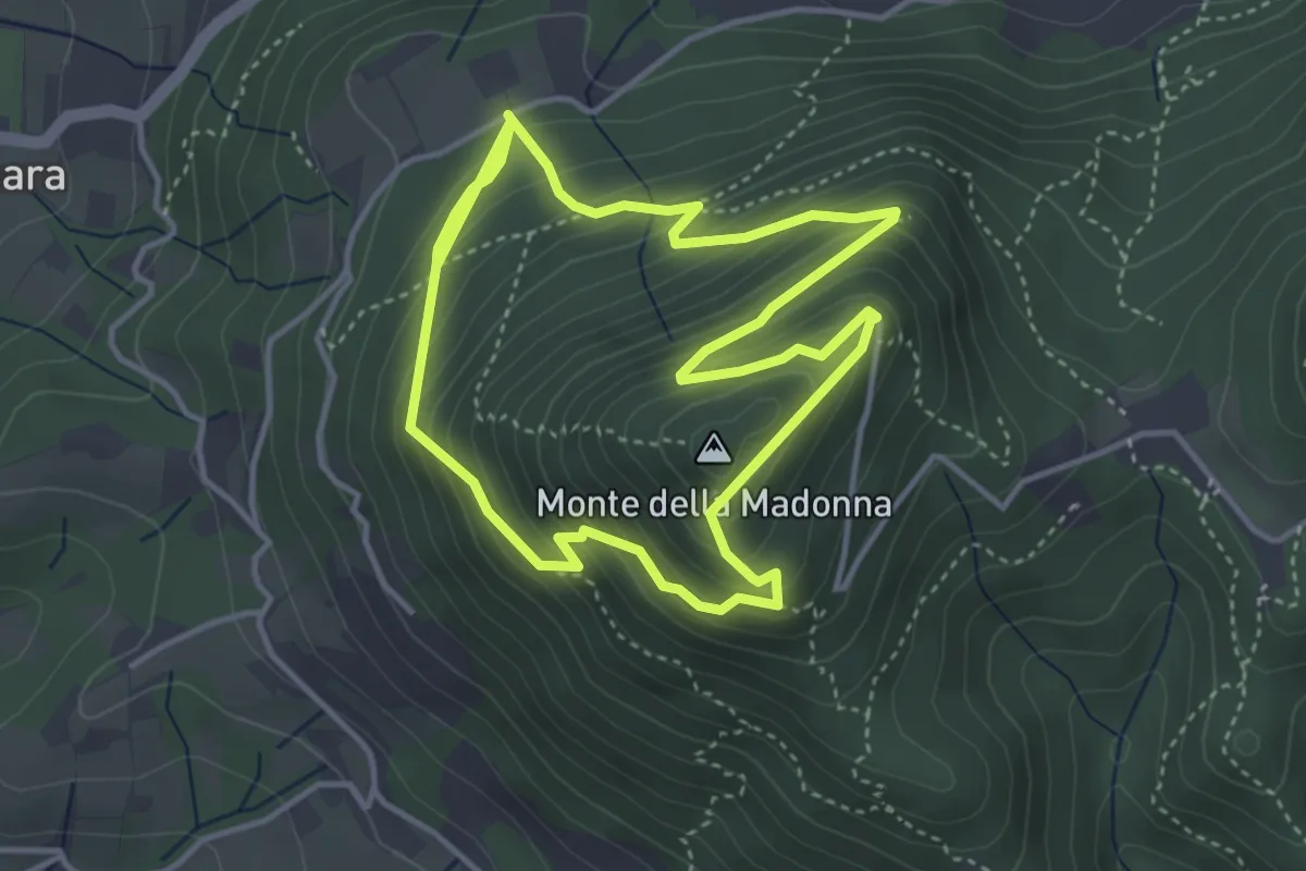
Medium · Summit
Sentiero del Monte della Madonna
3.9 km · ↑ 334 m · 1 h 43 min · 12 km away
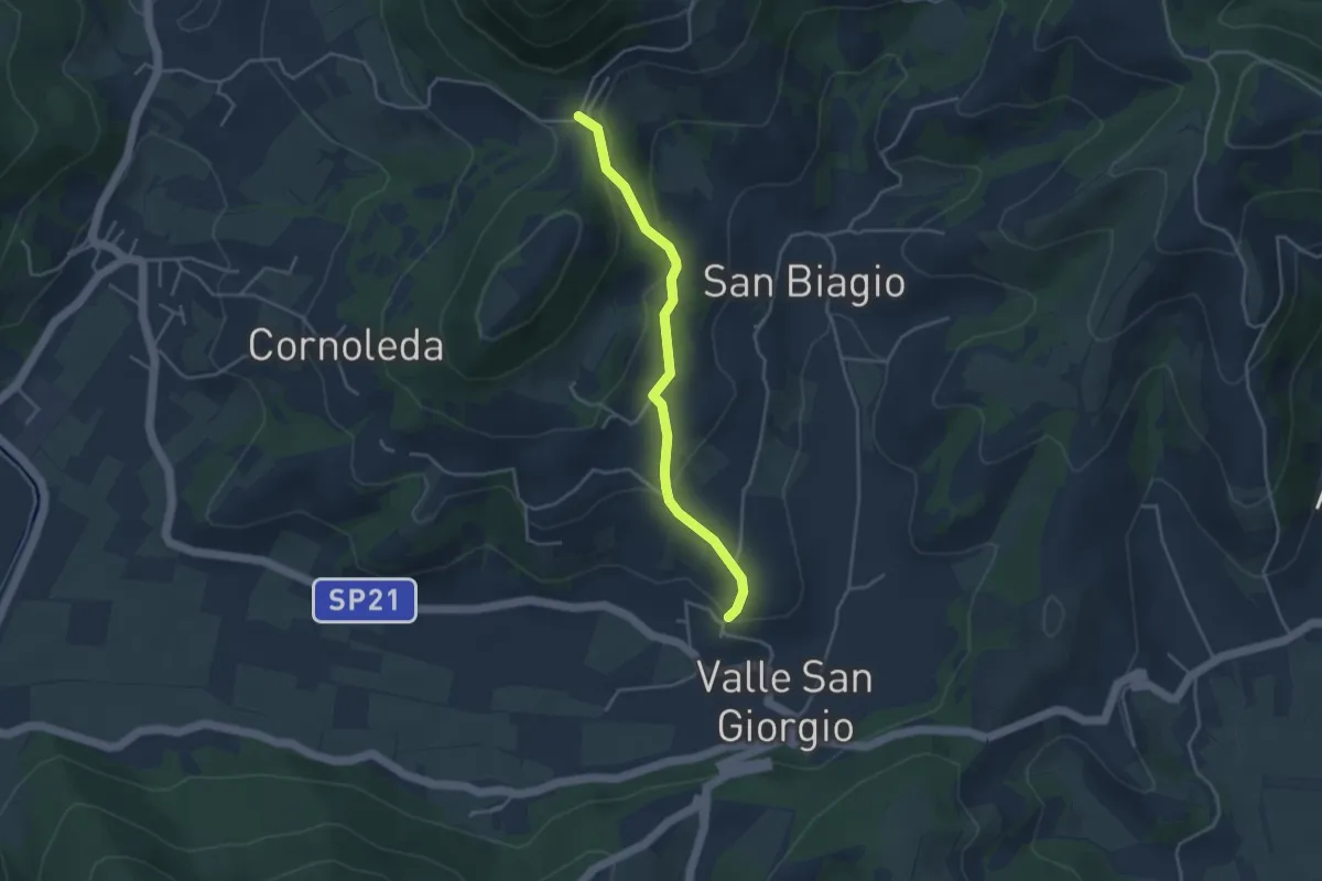
Easy · Trail
Allacciante "F" da Valle San Giorgio
3.8 km · ↑ 159 m · 1 h 14 min · 12 km away
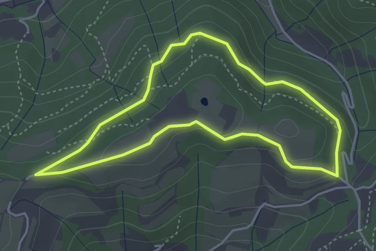
Easy · Trail
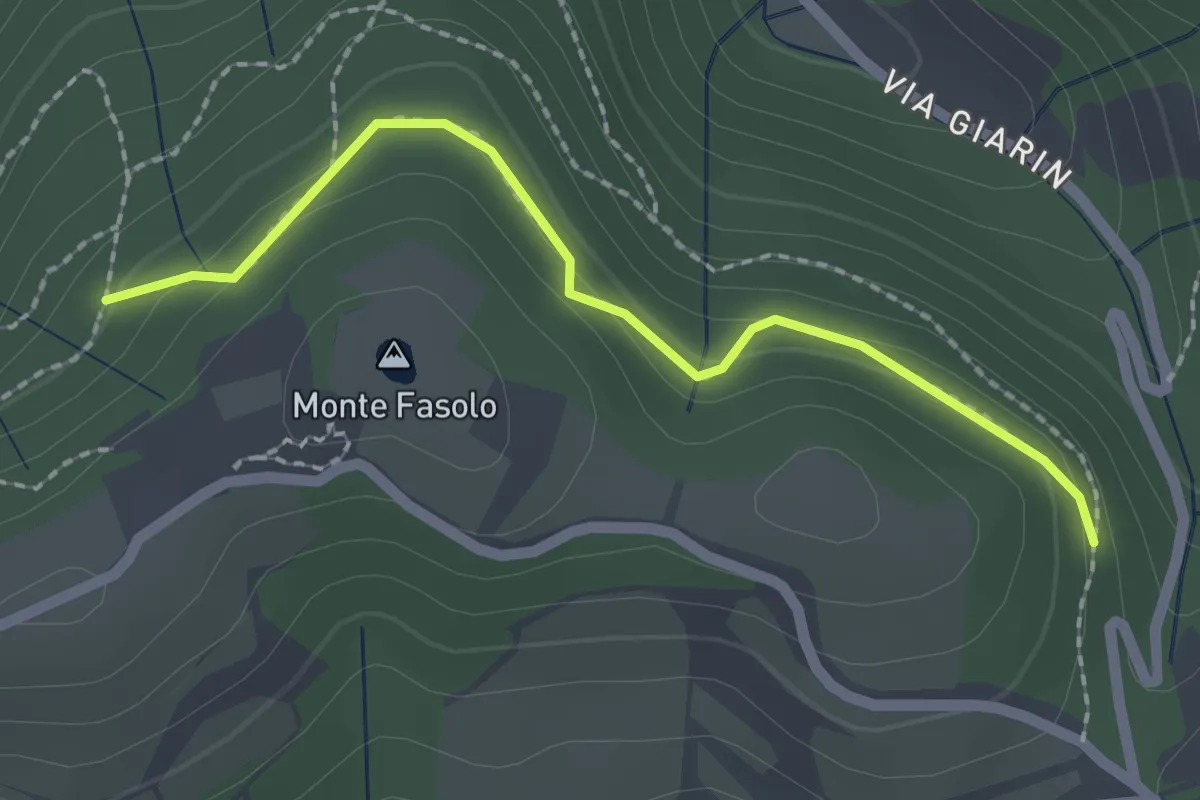
Sentiero del Monte Fasolo
3.3 km · ↑ 100 m · 1 h 3 min · 12 km away
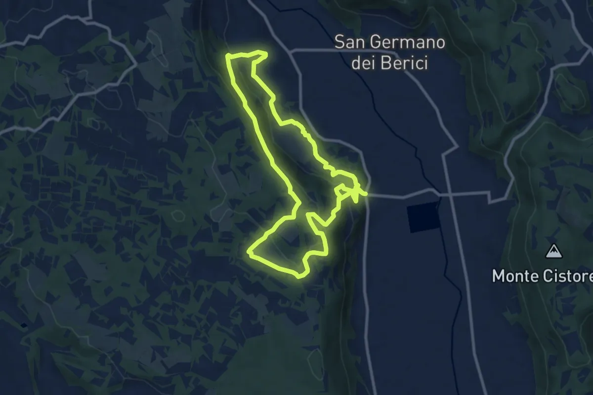
Medium · Trail
Sentiero n. 51 di Villa del Ferro o del Donatore
17.9 km · ↑ 650 m · 5 h 38 min · 12 km away
Easy · Trail
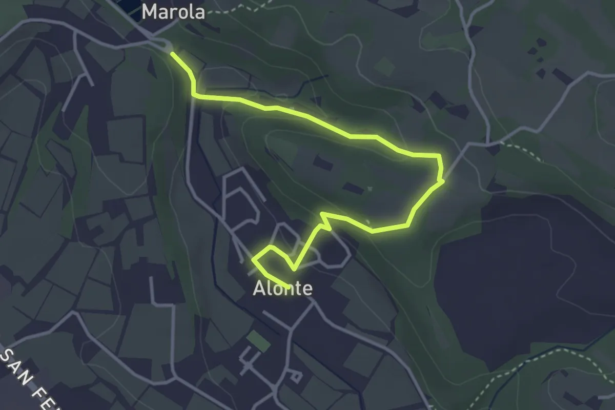
Sentiero n. 45 Variante Bosco dei Molini
4.1 km · ↑ 120 m · 1 h 14 min · 12 km away
Medium · Trail
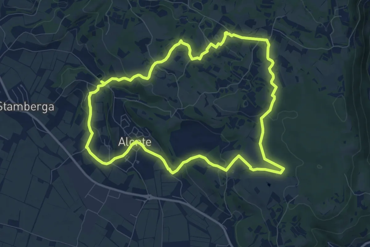
Sentiero n. 45 di Alonte
9.7 km · ↑ 165 m · 2 h 47 min · 12 km away
Medium · Summit
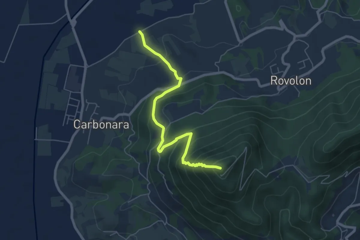
Sentiero di San Pietro
5.5 km · ↑ 488 m · 2 h 22 min · 12 km away
Easy · Summit
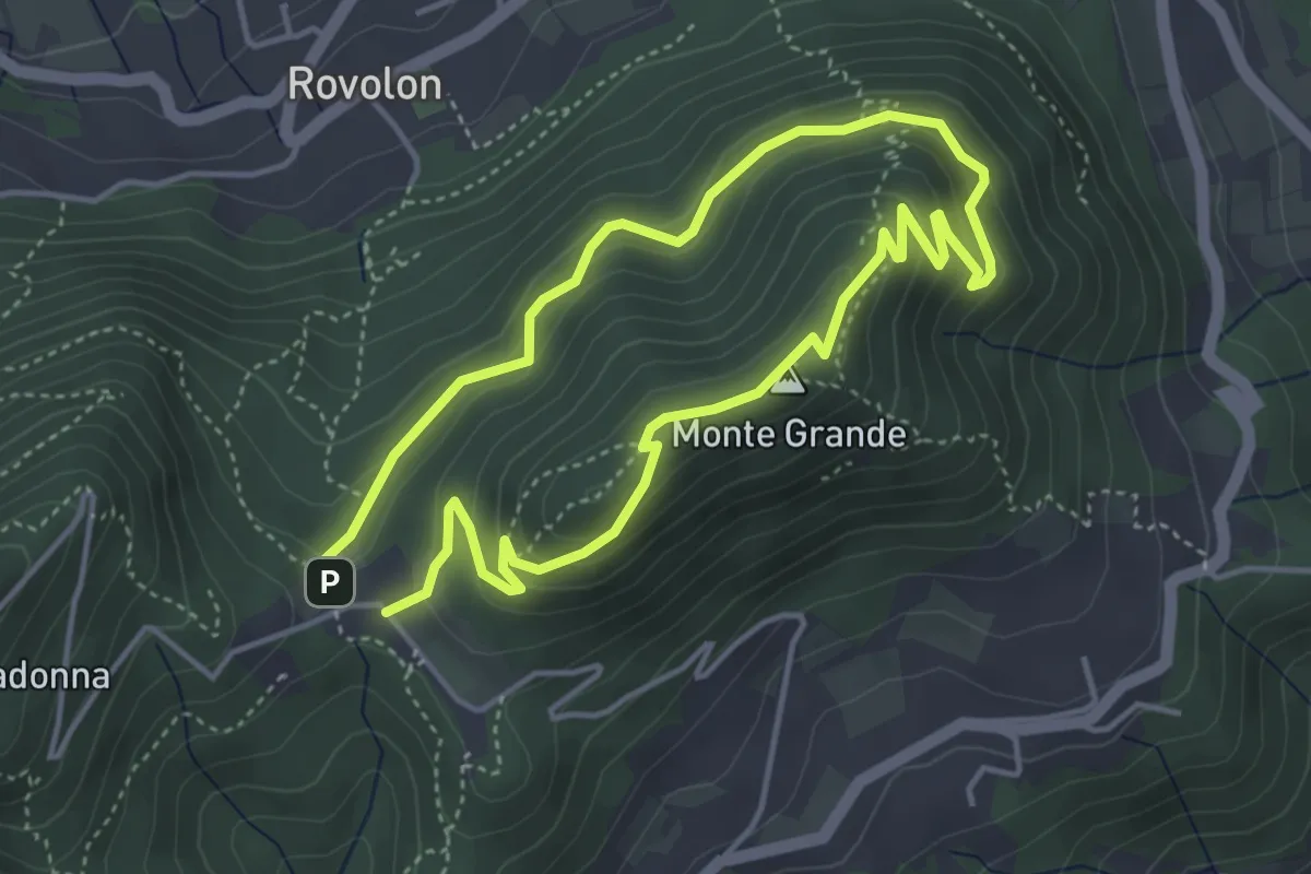
Sentiero del Monte Grande
3.8 km · ↑ 215 m · 1 h 25 min · 12 km away
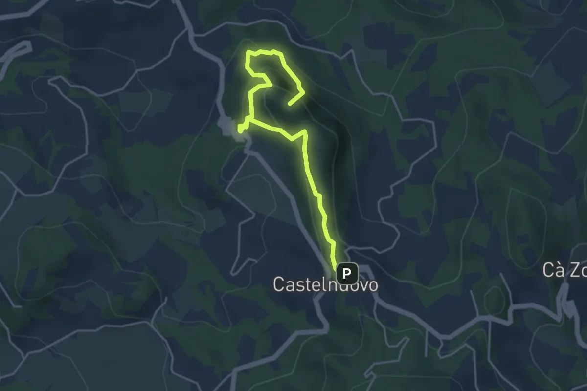
Medium · Summit
I sentieri di Rocca Pendice
4.3 km · ↑ 278 m · 1 h 36 min · 12 km away
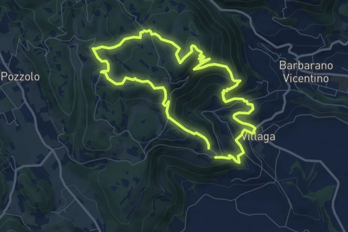
Medium · Summit
Sentiero dell'Eremo di San Donato
8.0 km · ↑ 429 m · 2 h 56 min · 12 km away
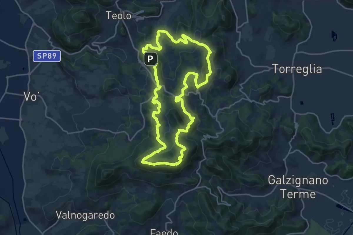
Demanding · Summit
Sentiero Naturalistico dei Colli Euganei Centrali
14.5 km · ↑ 776 m · 5 h 19 min · 12 km away
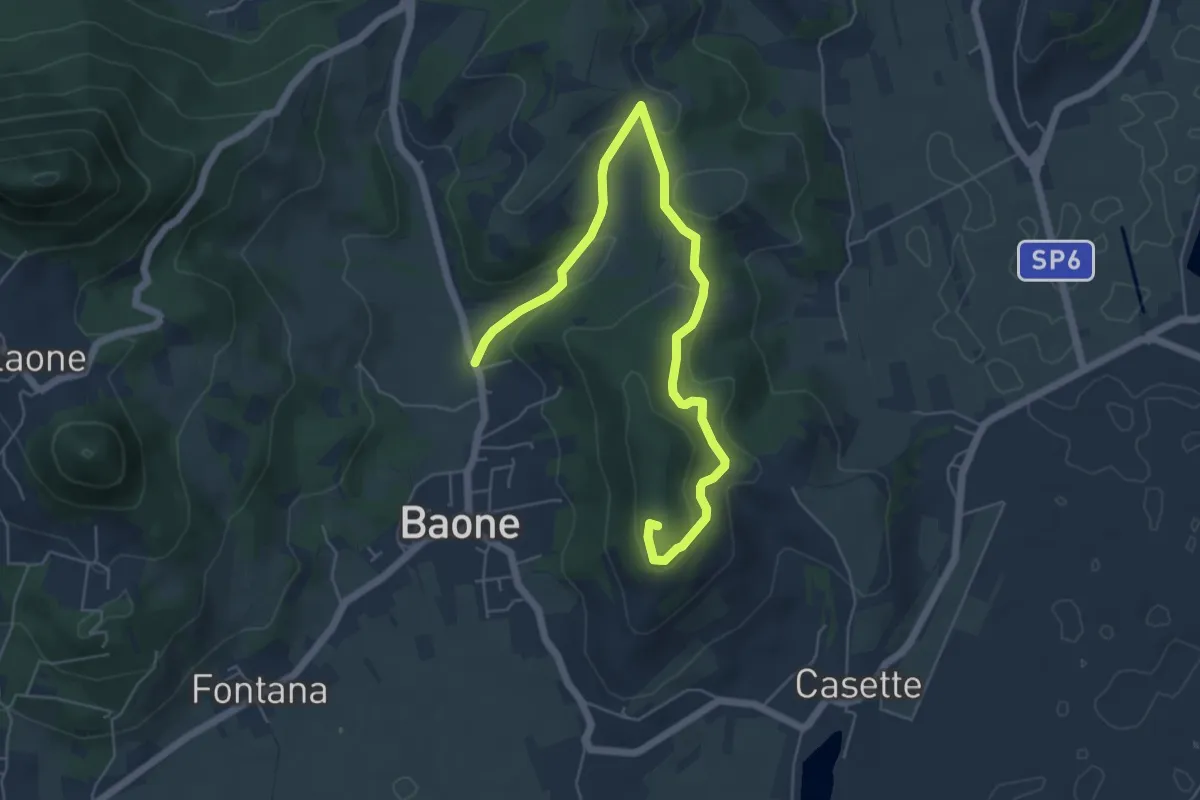
Easy · Summit
Sentiero del Monte Cecilia
6.9 km · ↑ 222 m · 2 h 6 min · 13 km away
Easy · Summit
Località Sant' Antonio Cinto Euganeo – Località Sant' Antonio Cinto Euganeo
1.1 km · ↑ 44 m · 21 min · 13 km away
Medium · Trail
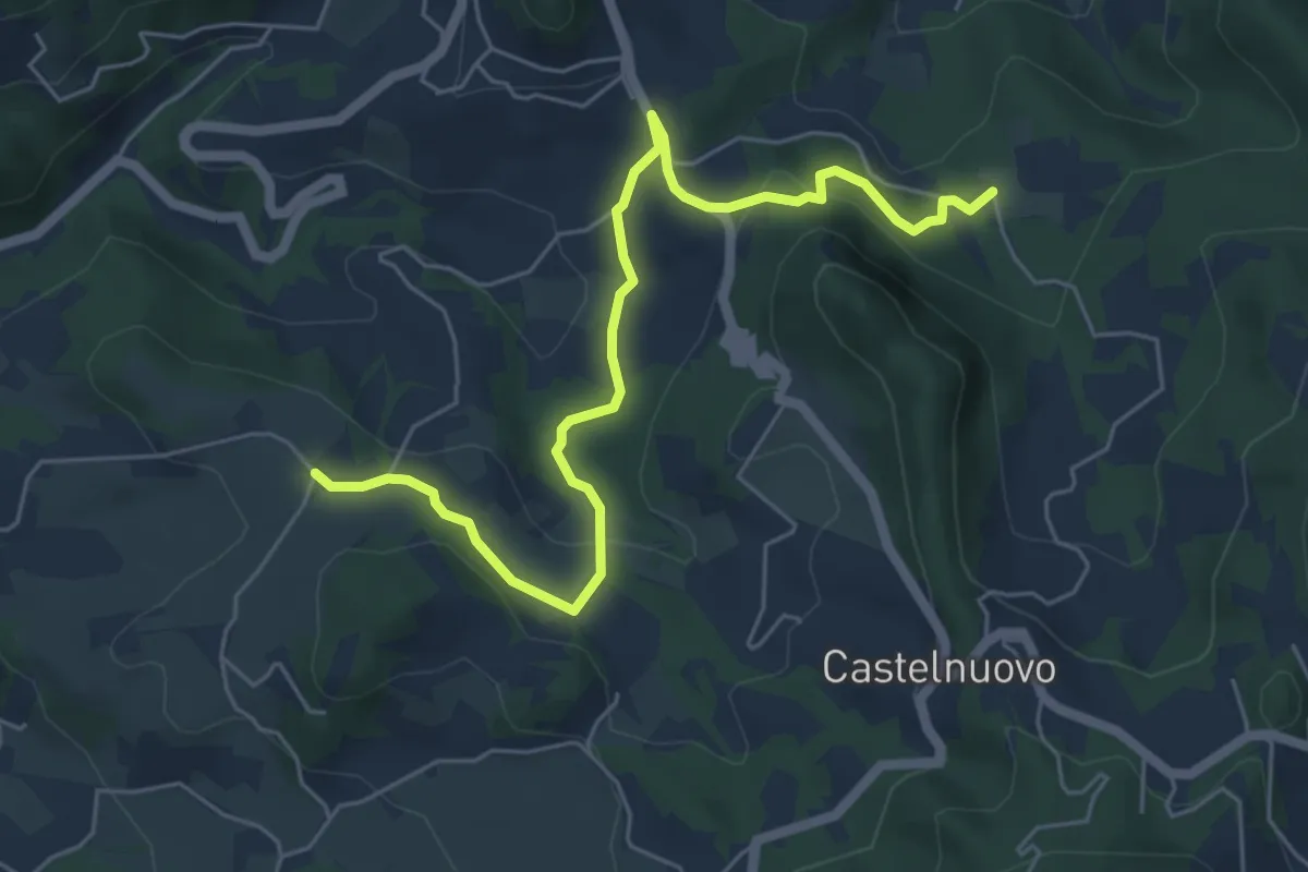
Percorso alternativo "P"
6.4 km · ↑ 234 m · 2 h 1 min · 13 km away
Medium · Trail
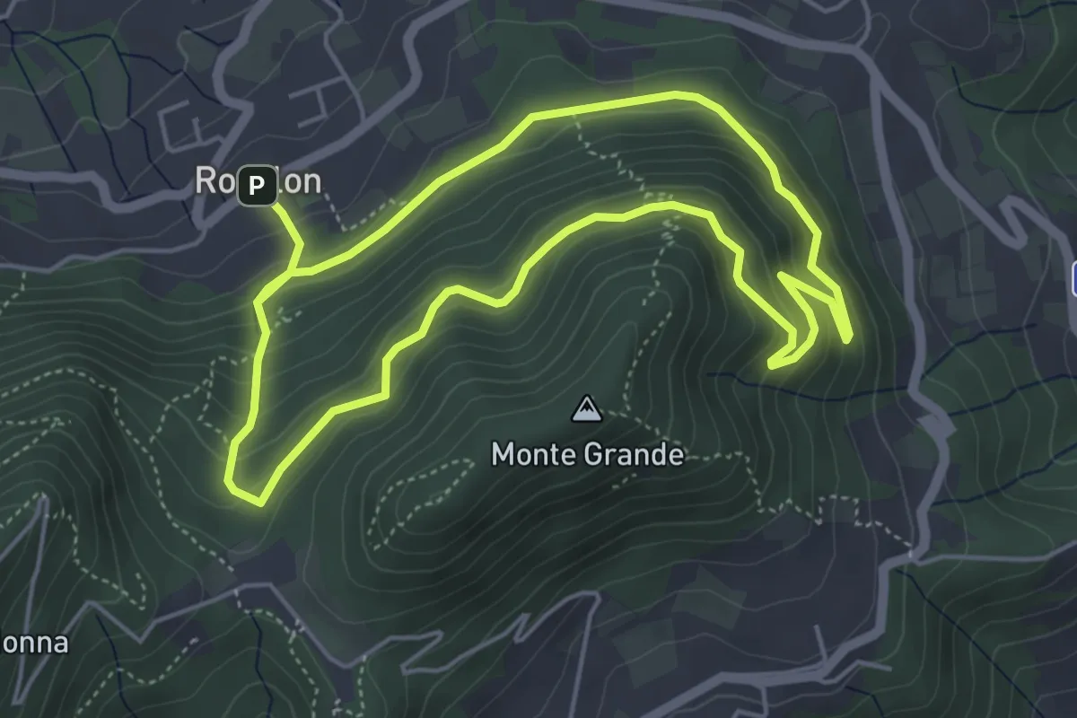
Sentiero del Gruppo San Giorgio
4.7 km · ↑ 337 m · 1 h 53 min · 13 km away
Medium · Trail
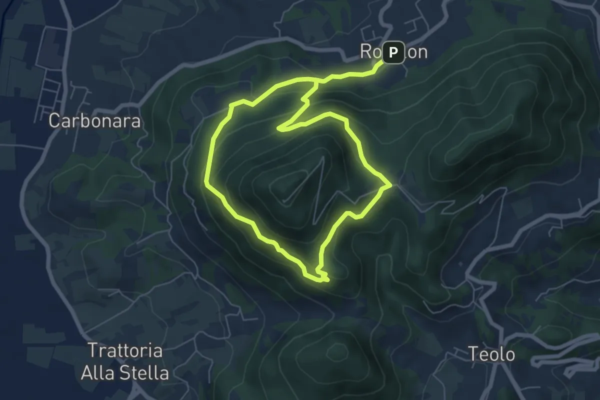
Sentiero degli Alpini
5.1 km · ↑ 309 m · 1 h 57 min · 13 km away
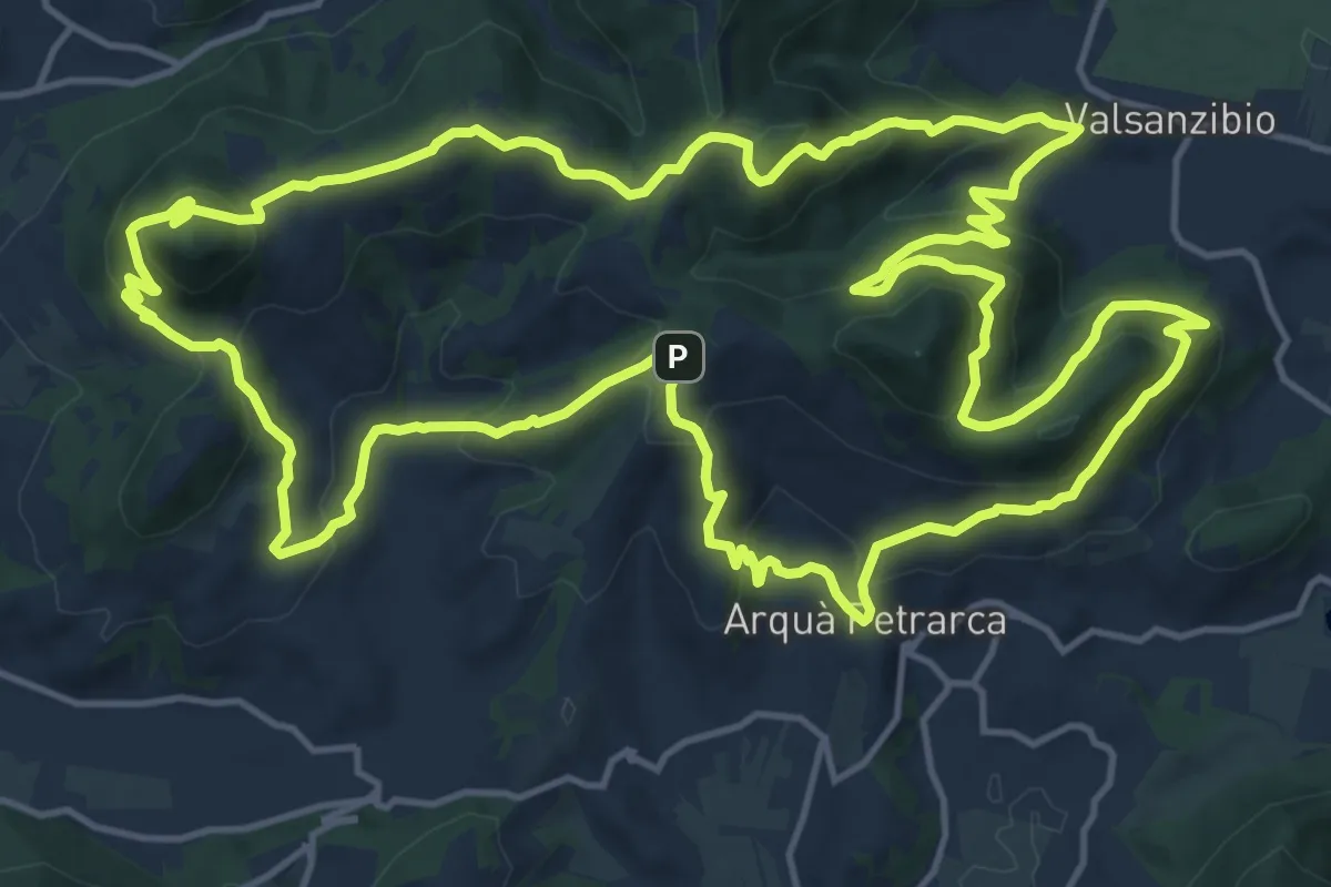
Demanding · Summit
Sentiero Atestino
18.6 km · ↑ 986 m · 6 h 47 min · 13 km away
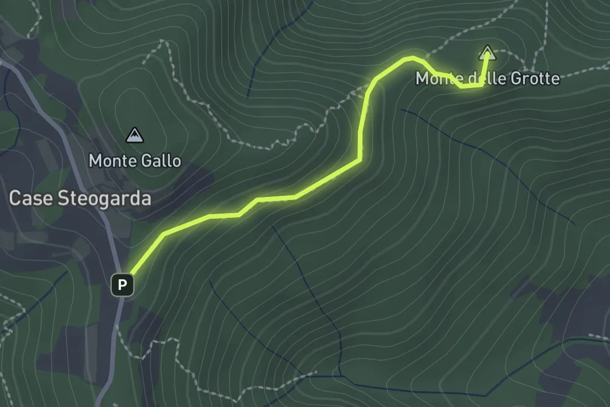
Medium · Summit
Sentiero del Monte Gallo Monte delle Grotte e Monte delle Basse
2.1 km · ↑ 128 m · 47 min · 13 km away
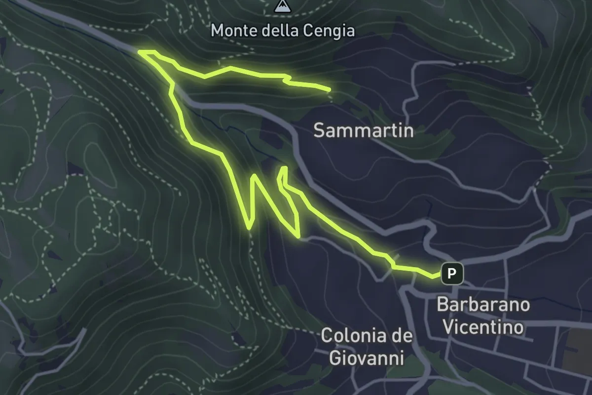
Medium · Trail
Sentiero della Fontana del Lavello
5.9 km · ↑ 329 m · 2 h 7 min · 13 km away
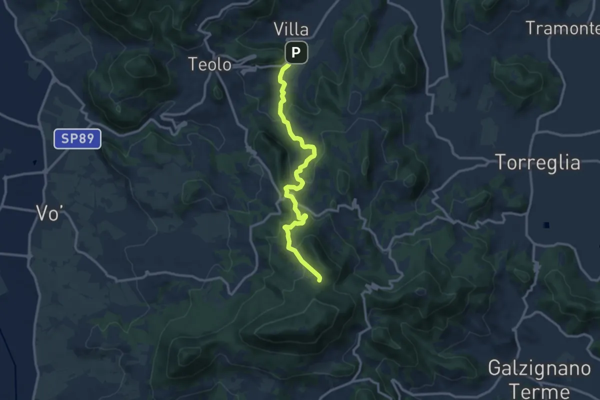
Medium · Trail
Percorso alternativo "N"
9.9 km · ↑ 495 m · 3 h 25 min · 13 km away
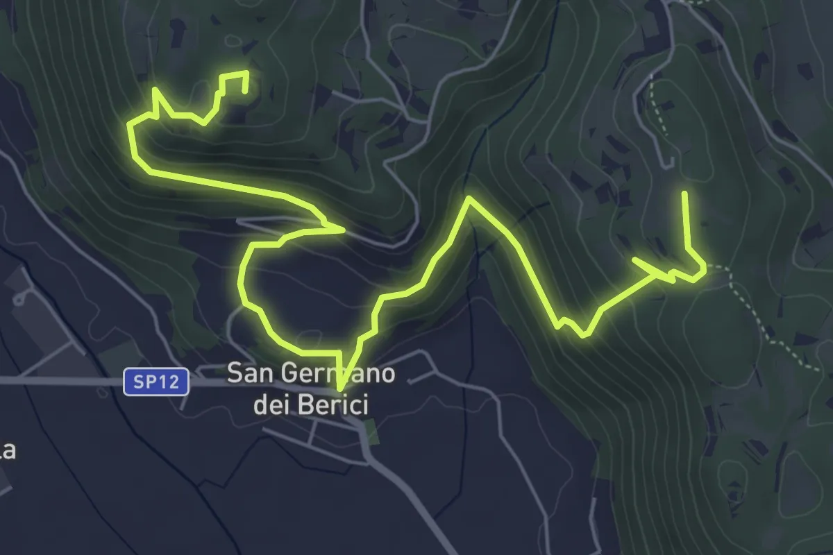
Medium · Summit
Sentiero n. 53 dei Curì e della Lupia (o di San Germano)
8.7 km · ↑ 500 m · 3 h 9 min · 13 km away
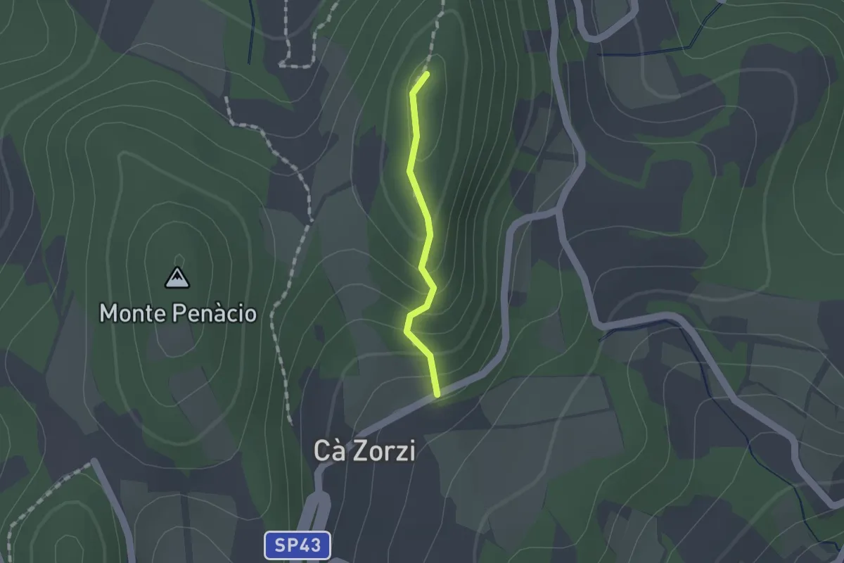
Medium · Summit
Sentiero Naturalistico dei Colli Euganei Centrali - variante 2A
0.9 km · ↑ 74 m · 23 min · 13 km away
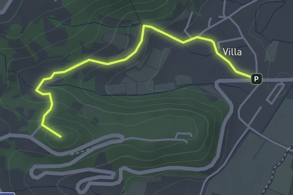
Demanding · Summit
Percorso alternativo "O"
3.3 km · ↑ 149 m · 1 h 6 min · 13 km away
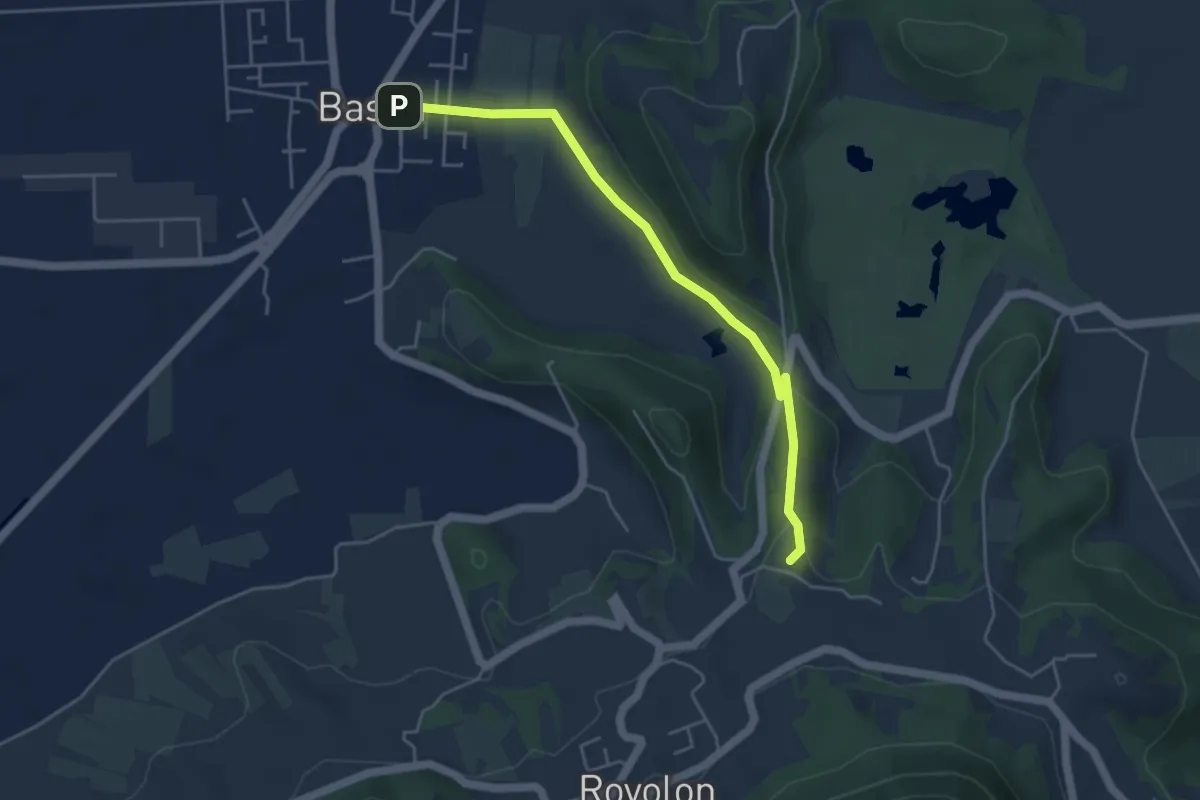
Easy · Summit
Sentiero dei Bersaglieri
4.6 km · ↑ 86 m · 1 h 17 min · 14 km away
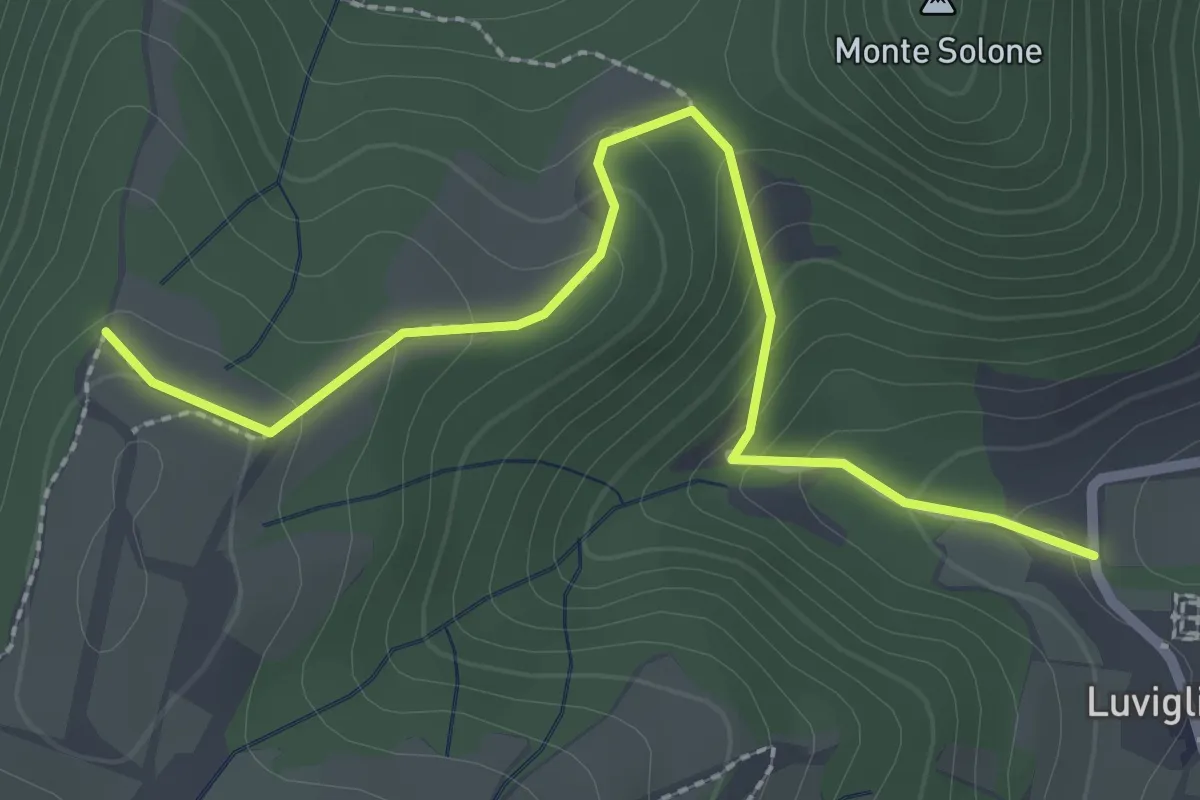
Easy · Trail
Allacciante "A" da Luvigliano
2.7 km · ↑ 161 m · 1 h · 14 km away
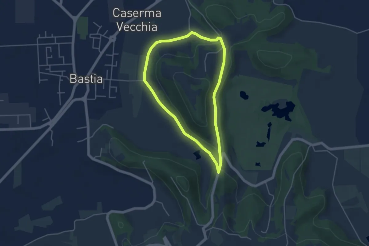
Easy · Trail
Sentiero Rosa dei Colli
3.6 km · ↑ 71 m · 1 h 3 min · 14 km away
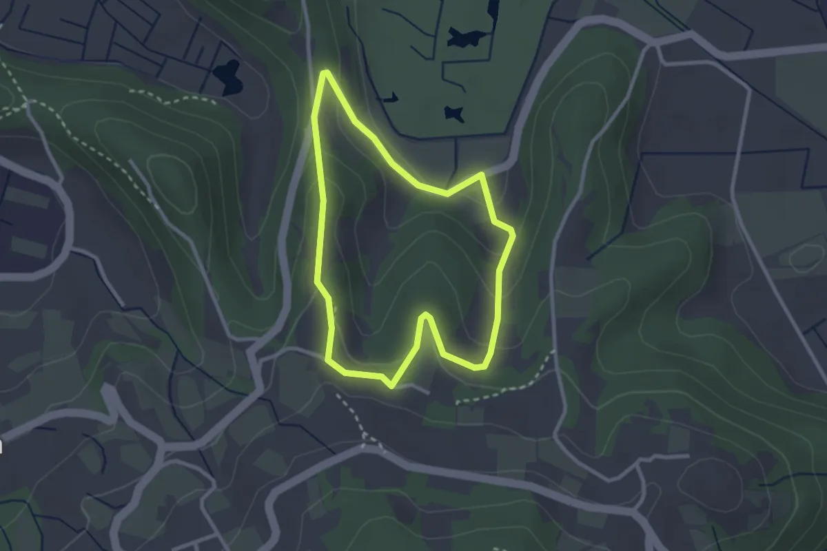
Easy · Summit
Sentiero dei Carabinieri
2.5 km · ↑ 88 m · 49 min · 14 km away
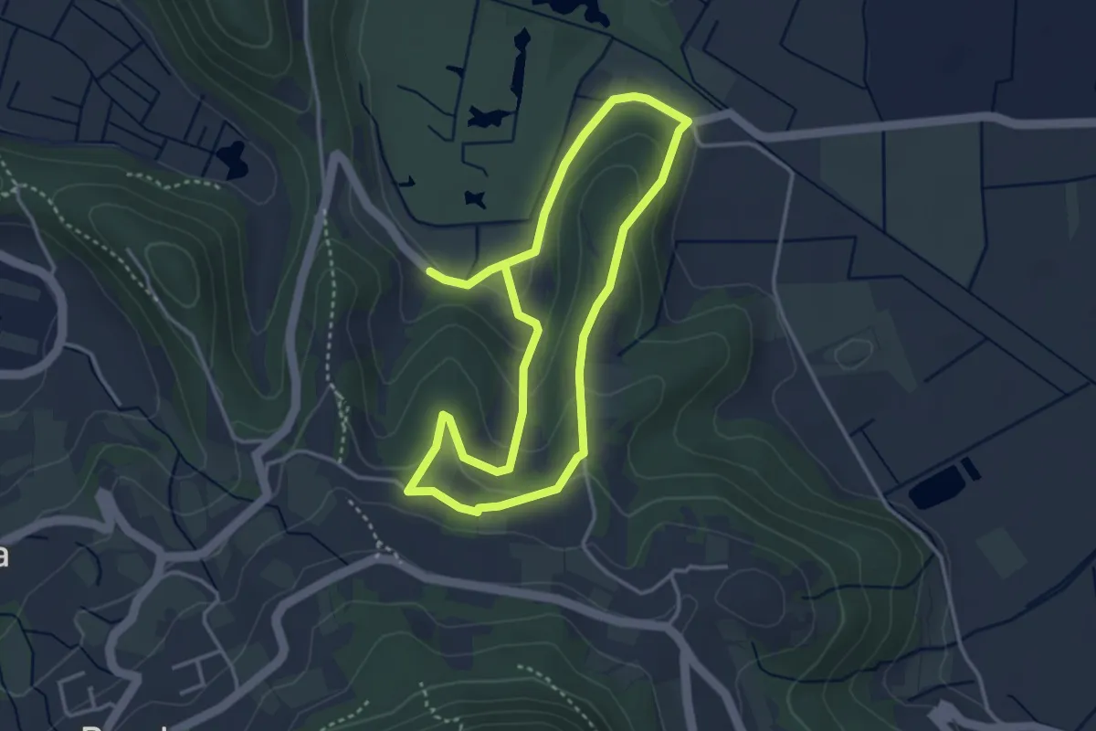
Easy · Summit
Sentiero del Rialto
3.3 km · ↑ 95 m · 1 h 2 min · 14 km away
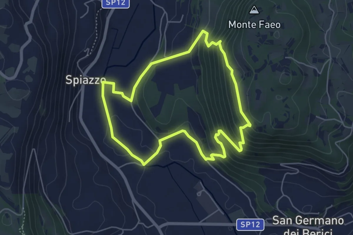
Easy · Trail
Sentiero n. 65 della Madonnetta o dei Frati
4.5 km · ↑ 229 m · 1 h 37 min · 14 km away
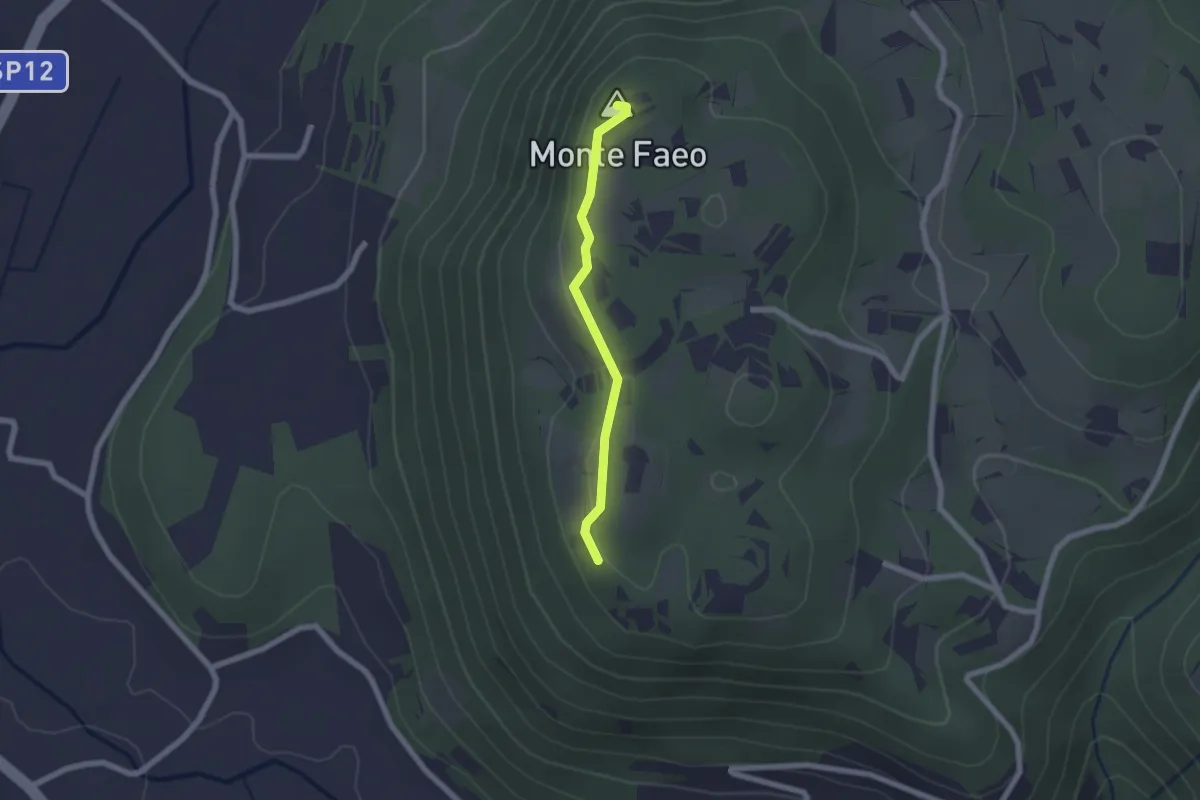
Easy · Summit
Sentiero n. 53 Variante del Monte Faeo
1.8 km · ↑ 29 m · 29 min · 14 km away
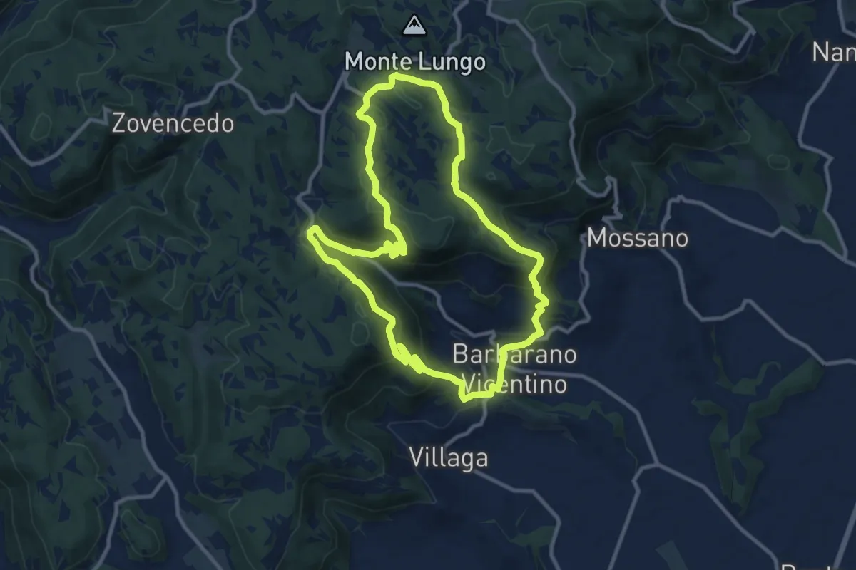
Medium · Summit
Sentiero della Scudelletta
10.0 km · ↑ 558 m · 3 h 43 min · 14 km away
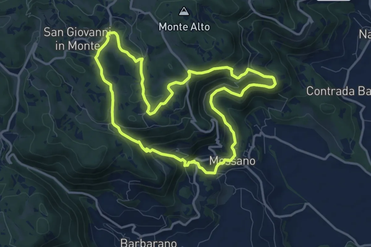
Medium · Summit
Sentiero di San Bernardino
8.9 km · ↑ 389 m · 3 h 3 min · 14 km away