Trails near Novi Ligure
34 hikes starting within 15 km, nearest first.
Nearest first
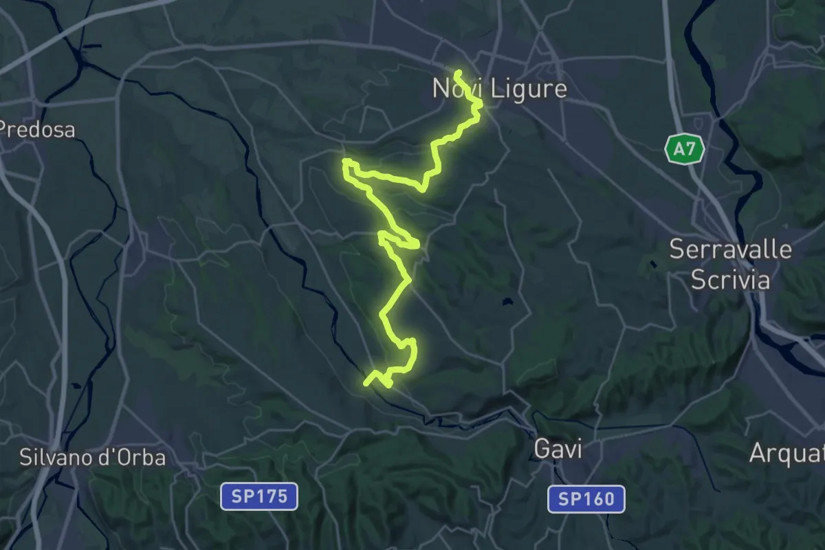
Medium · Trail
Museo dei Campionissimi – Camarella, bivio ALA291-ALA390
15.2 km · ↑ 204 m · 4 h 14 min · 1 km away
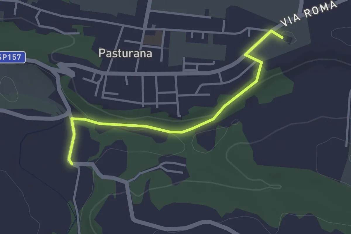
Easy · Trail
Bivio ALA291-ALA291B – Pieve di San Martino
3.1 km · ↑ 51 m · 51 min · 3 km away
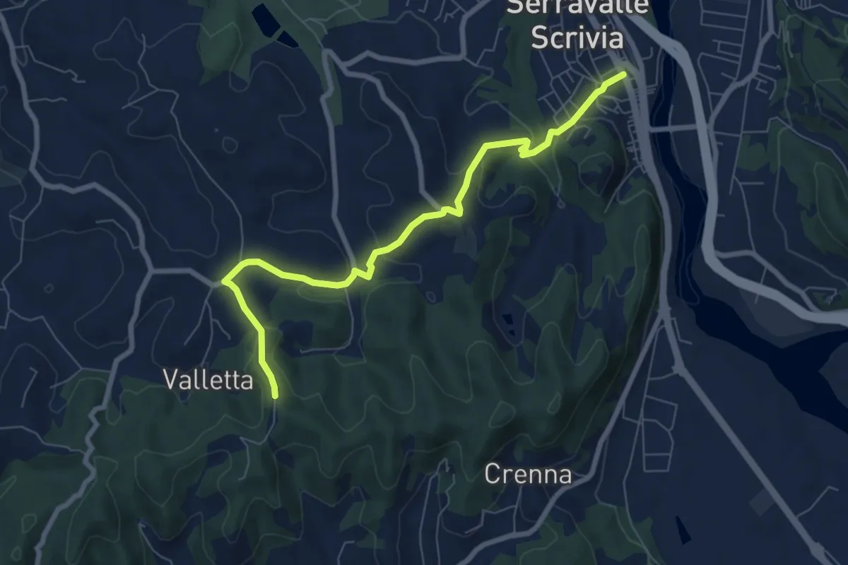
Easy · Trail
Bivio ALA292-ALA293 – Serravalle Scrivia, bivio ALA292-ALA293
7.7 km · ↑ 267 m · 2 h 24 min · 7 km away
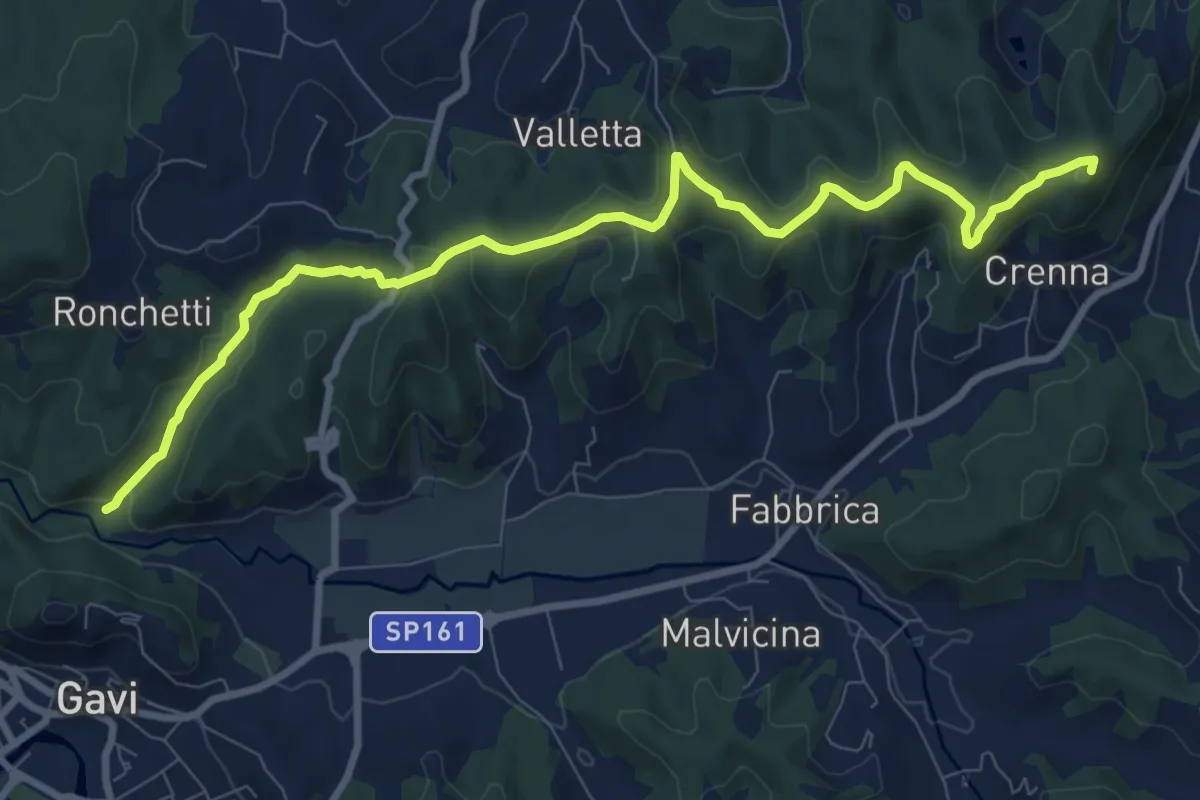
Medium · Summit
Serravalle Scrivia, stazione ferroviaria – Cascina Bruciata, bivio 292-293-293A
10.4 km · ↑ 274 m · 3 h 4 min · 7 km away
Easy · Trail
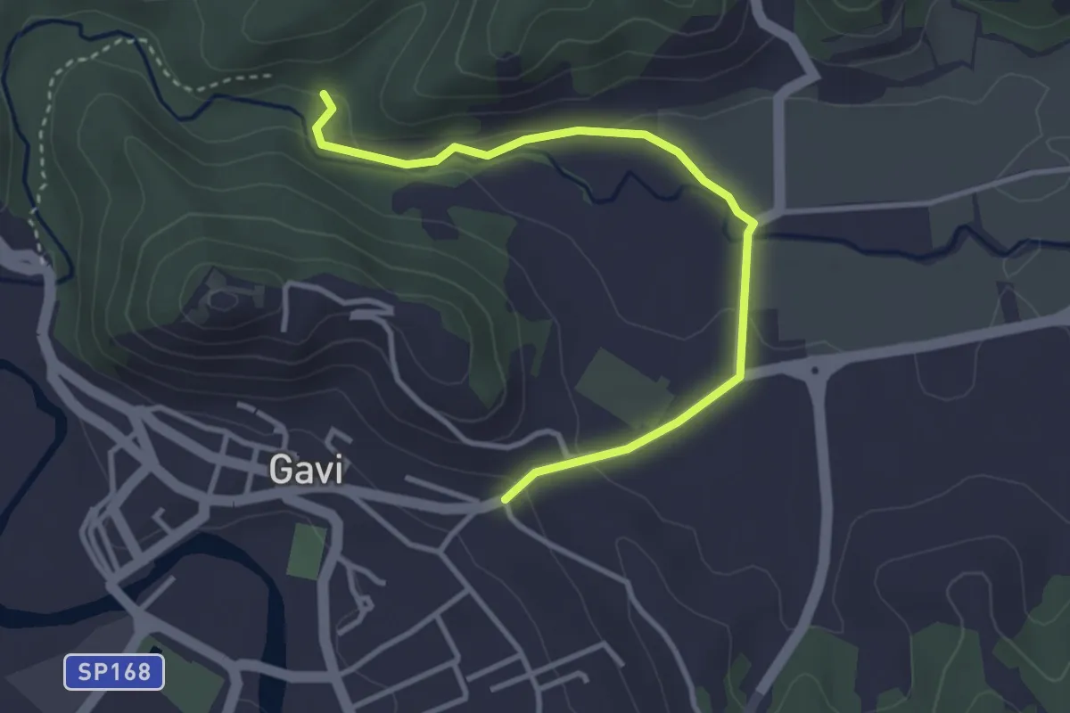
Bivio ALA293-ALA293A presso Torrente Neirone – Gavi, bivio ALA290-ALA293A presso Cimitero
3.6 km · ↑ 60 m · 59 min · 7 km away
Easy · Trail
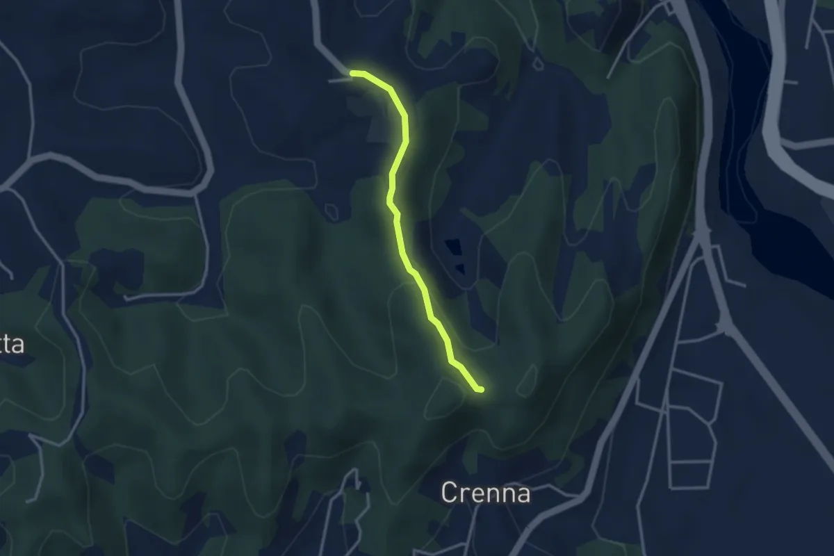
Colle Ratto – Chiesetta di Montei
2.6 km · ↑ 76 m · 47 min · 8 km away
Demanding · Trail
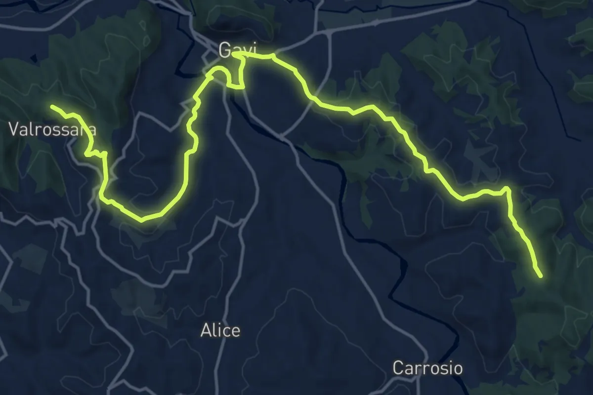
Val Rossara – Monte Erbano
19.6 km · ↑ 448 m · 5 h 36 min · 9 km away
Medium · Trail
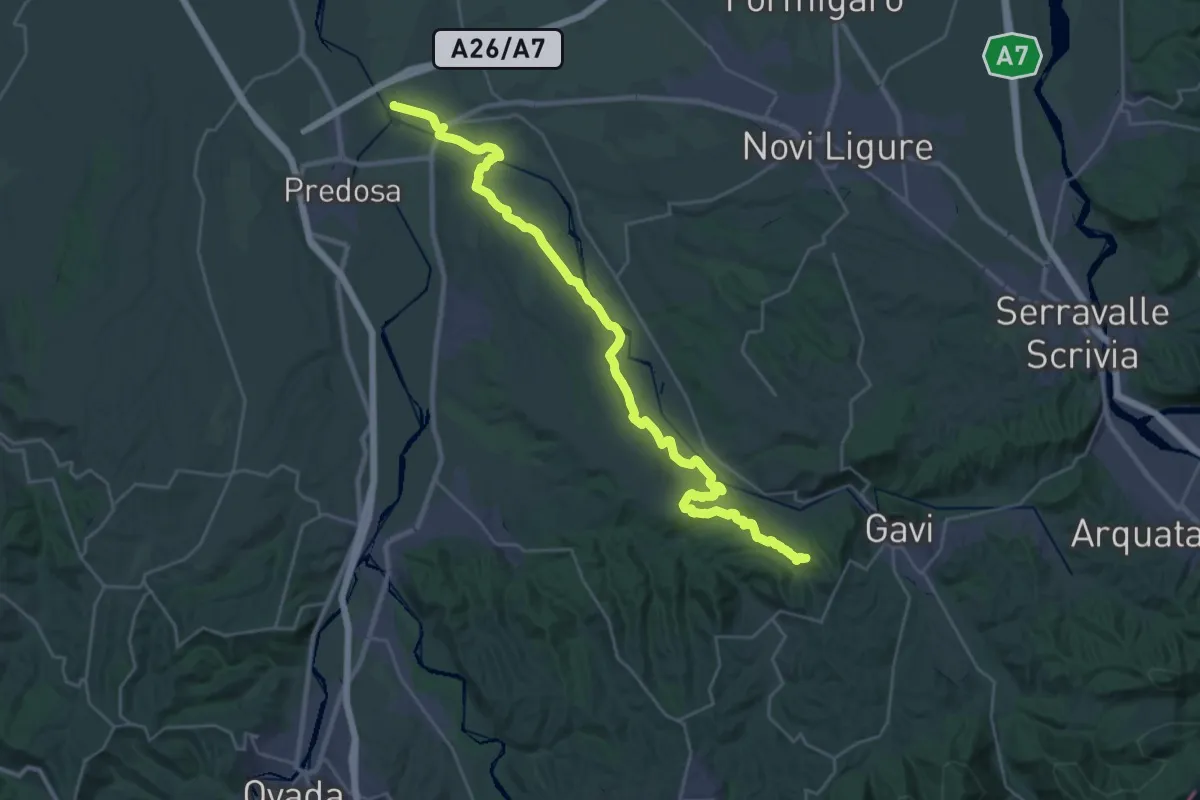
Confluenza Torrenti Lemme-Orba – Val Rossara
17.8 km · ↑ 335 m · 5 h 5 min · 9 km away
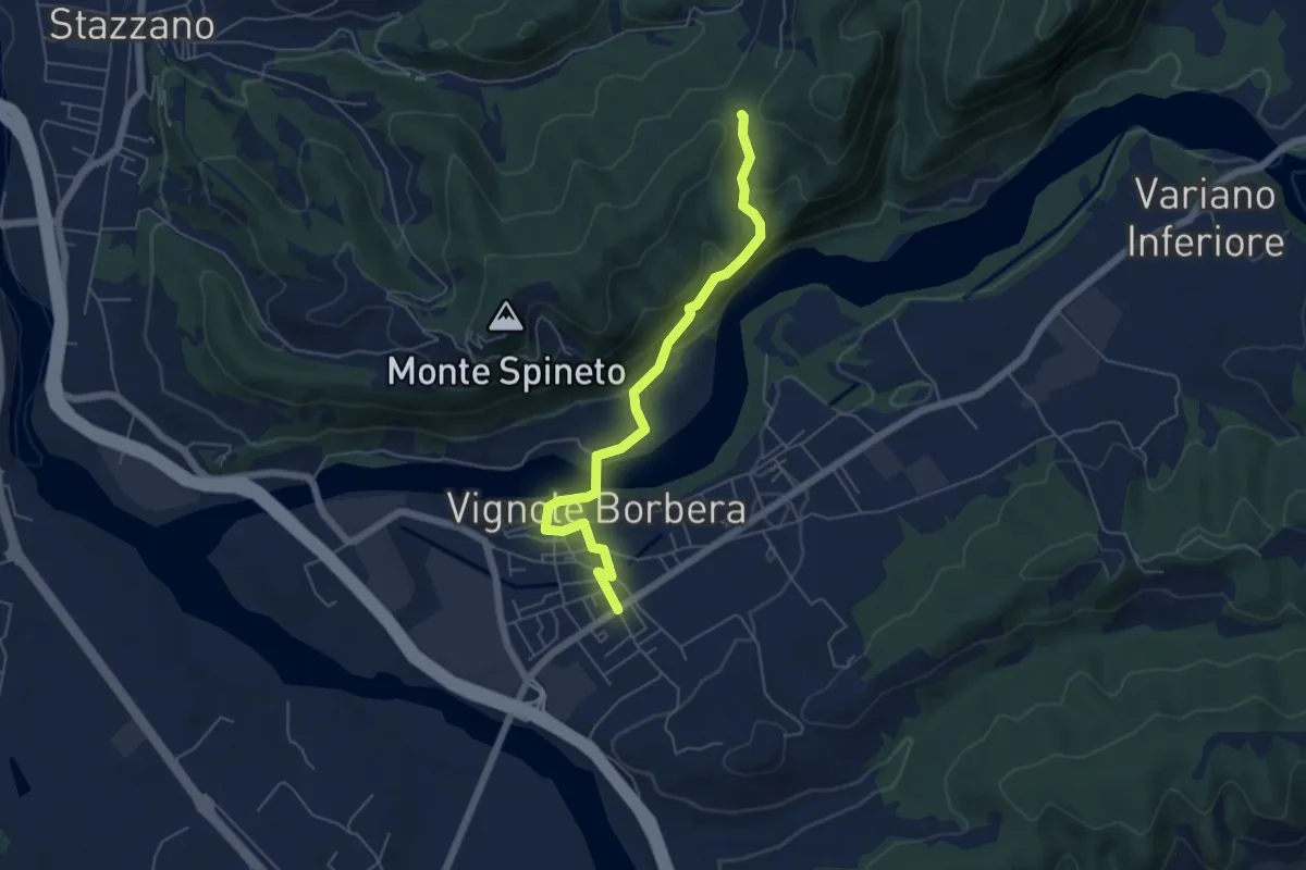
Easy · Trail
Vignole Borbera – Bivio ALA200-ALA203, presso Cascina Alberghino
5.7 km · ↑ 224 m · 1 h 50 min · 10 km away
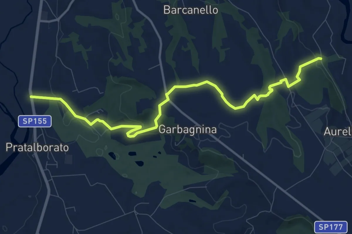
Medium · Trail
Bivio 390-391, Castelletto – SP155, Golf Club Villa Carolina
11.4 km · ↑ 187 m · 3 h 6 min · 10 km away
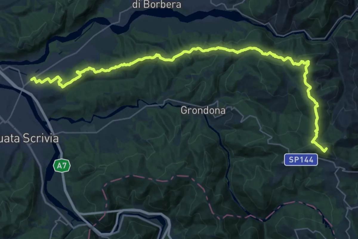
Demanding · Summit
Vignole Borbera – Presso Roccaforte Ligure, bivio ALA260-ALA275
31.8 km · ↑ 1177 m · 10 h 3 min · 10 km away
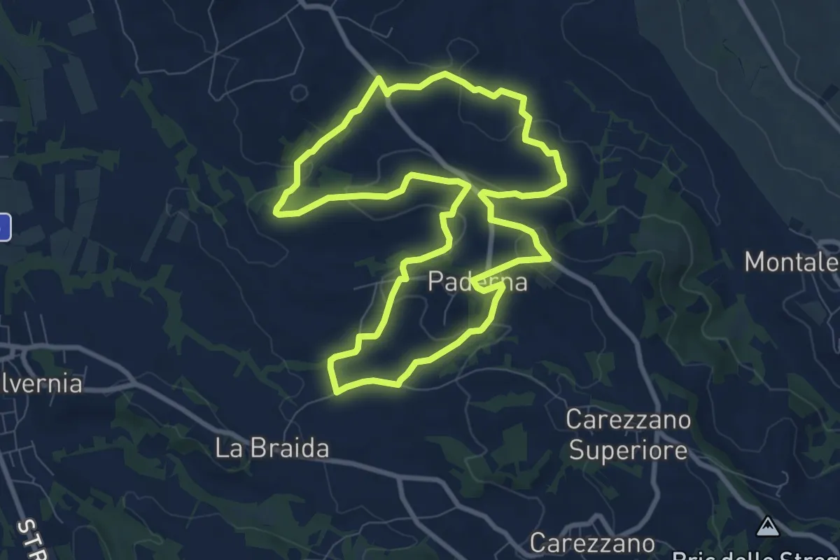
Medium · Trail
Anello di Paderna
8.8 km · ↑ 222 m · 2 h 41 min · 11 km away
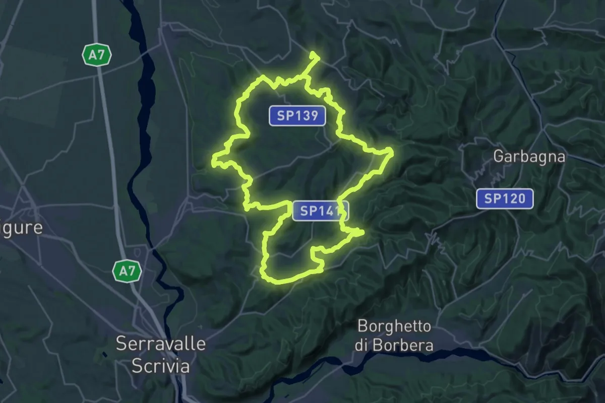
Demanding · Summit
Carezzano, località La Braida – Carezzano, Frazione Ripale, bivio ALA145
58.0 km · ↑ 2210 m · 18 h 30 min · 11 km away
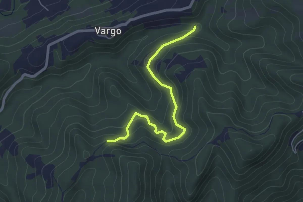
Easy · Trail
Vargo, bivio ALA205-ALA206 – Bivio ALA200-ALA206 presso Masseria Baiardo
4.5 km · ↑ 193 m · 1 h 28 min · 11 km away
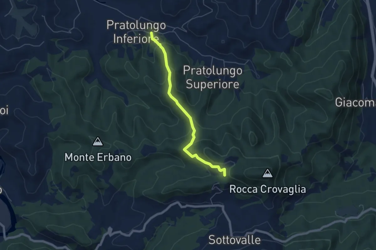
Easy · Trail
Pratolungo – Innesto Sentiero E1
5.0 km · ↑ 229 m · 1 h 40 min · 11 km away
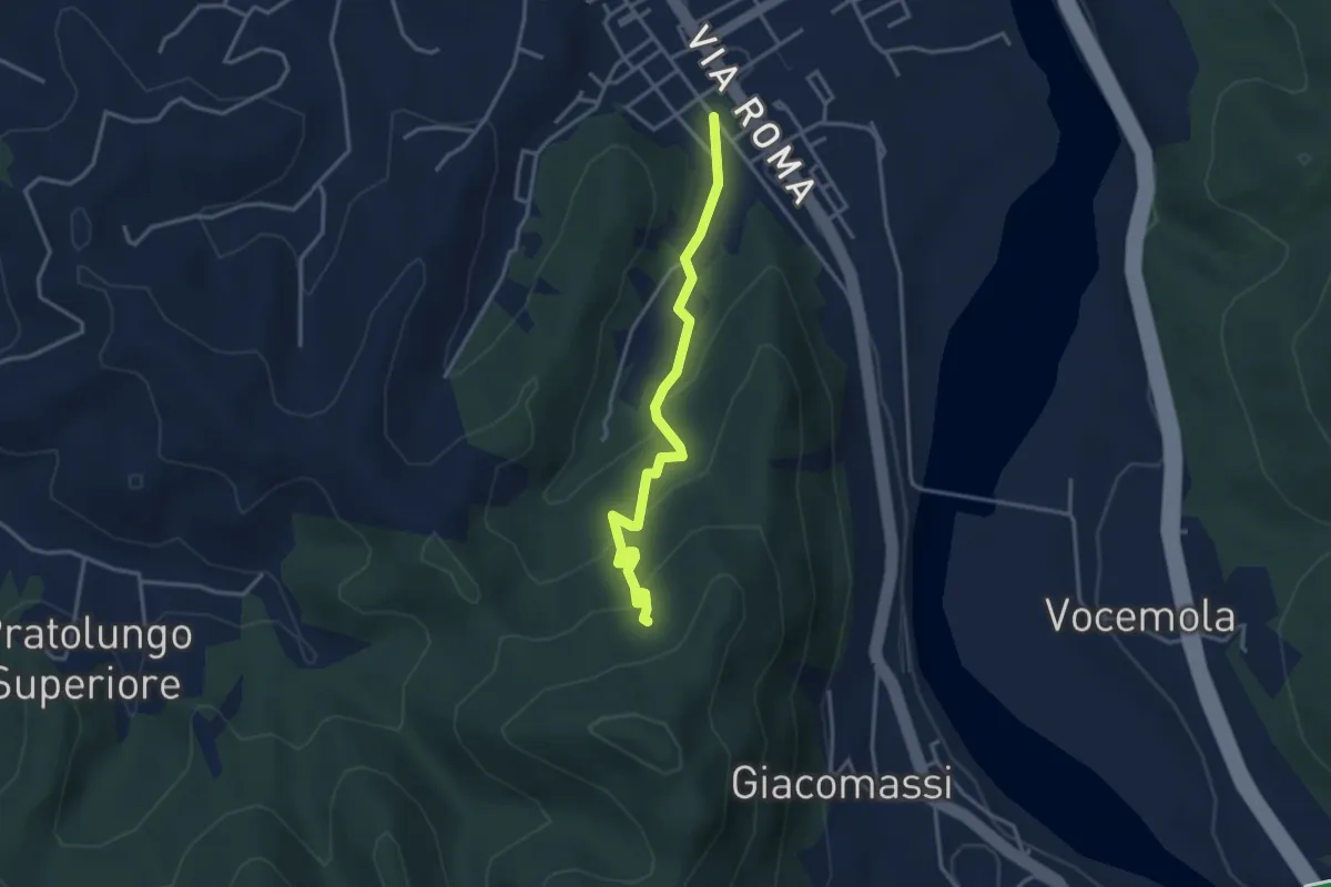
Easy · Trail
Arquata Scrivia – Santuario della Madonna di Montaldero
3.5 km · ↑ 232 m · 1 h 20 min · 12 km away
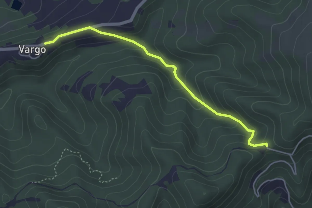
Easy · Trail
Frazione Vargo, bivio SC Vargo-Strada Vicinale della Madonna – Bivio ALA200-ALA204 presso Santuario di Cà del Bello
3.9 km · ↑ 169 m · 1 h 18 min · 12 km away
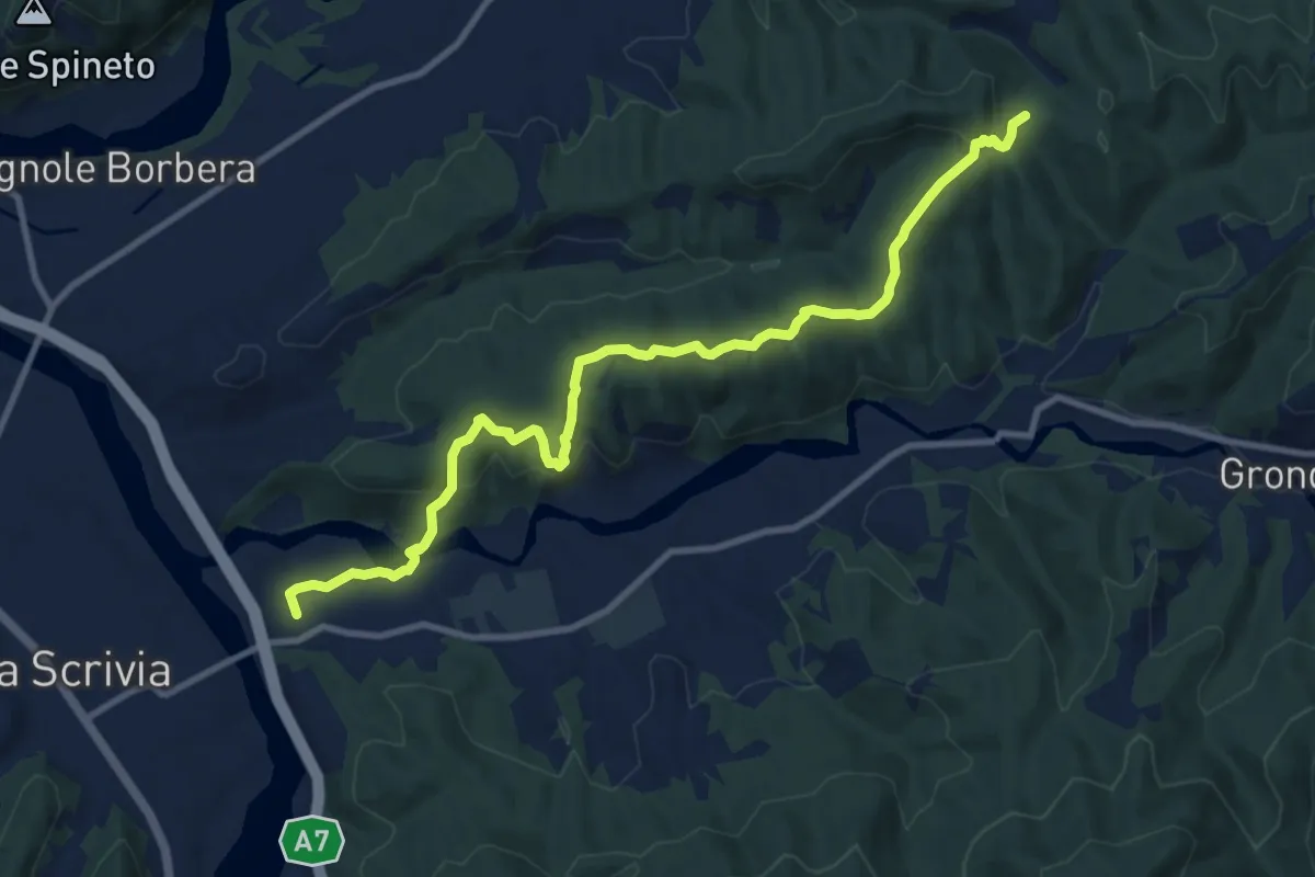
Medium · Trail
Varinella, bivio ALA200-ALA270 – Presso Costa Jaume, bivio ALA270-ALA275
11.6 km · ↑ 443 m · 3 h 41 min · 12 km away
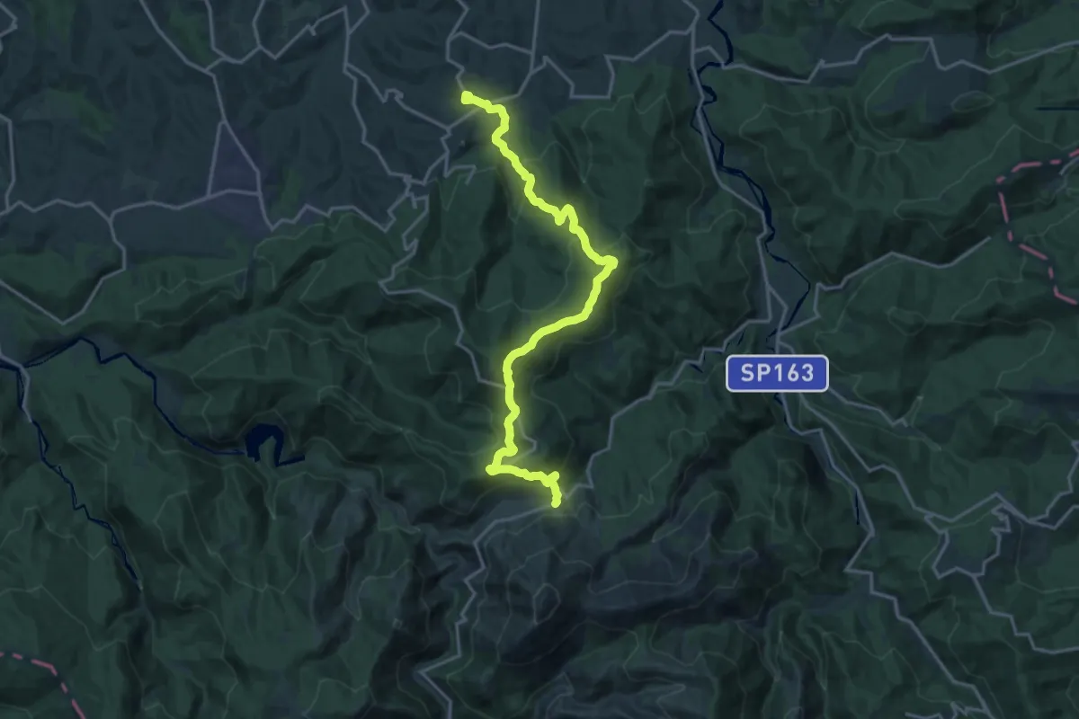
Demanding · Trail
Bosio – Valico Eremiti – bivio ALA401-ALA402 -ALA416
19.0 km · ↑ 725 m · 6 h 4 min · 12 km away
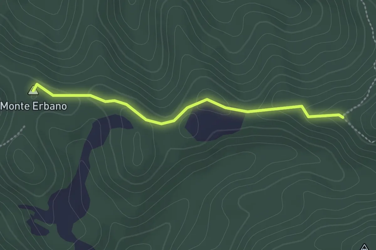
Easy · Summit
Sella Monte Erbano – Ceighetto (Percorso 299)
2.4 km · ↑ 39 m · 40 min · 12 km away
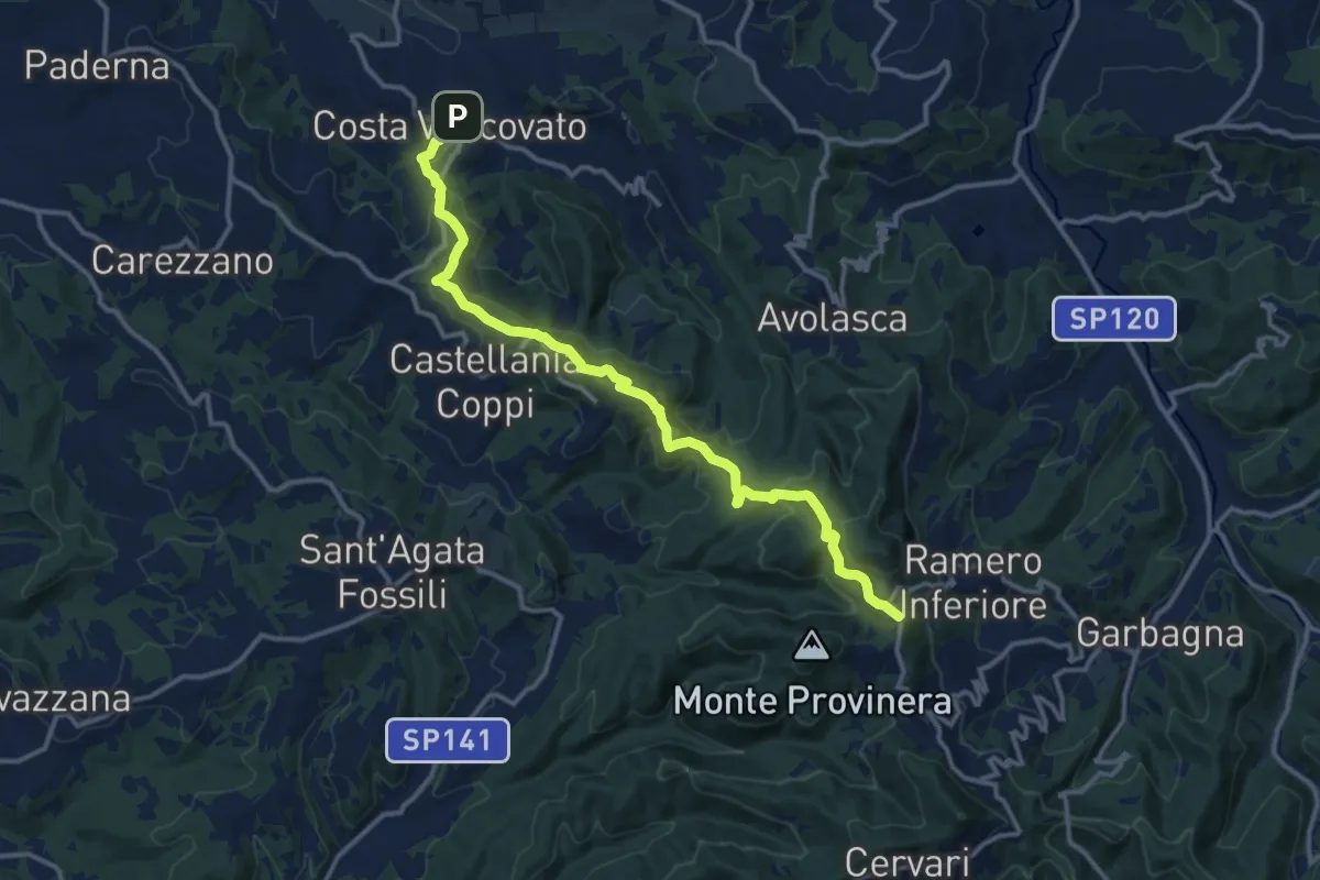
Medium · Summit
Costa Vescovato – Garbagna, presso Fraz. San Vito, bivio ALA124-ALA139
14.6 km · ↑ 568 m · 4 h 40 min · 13 km away
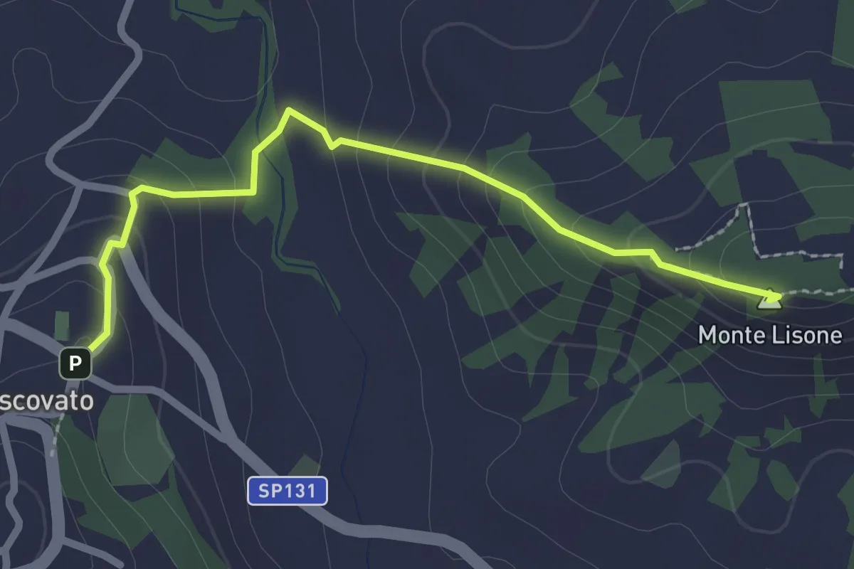
Easy · Summit
Costa Vescovato, bivio ALA124-ALA118A – Sarizzola, bivio ALA118-ALA118A
2.4 km · ↑ 150 m · 54 min · 13 km away
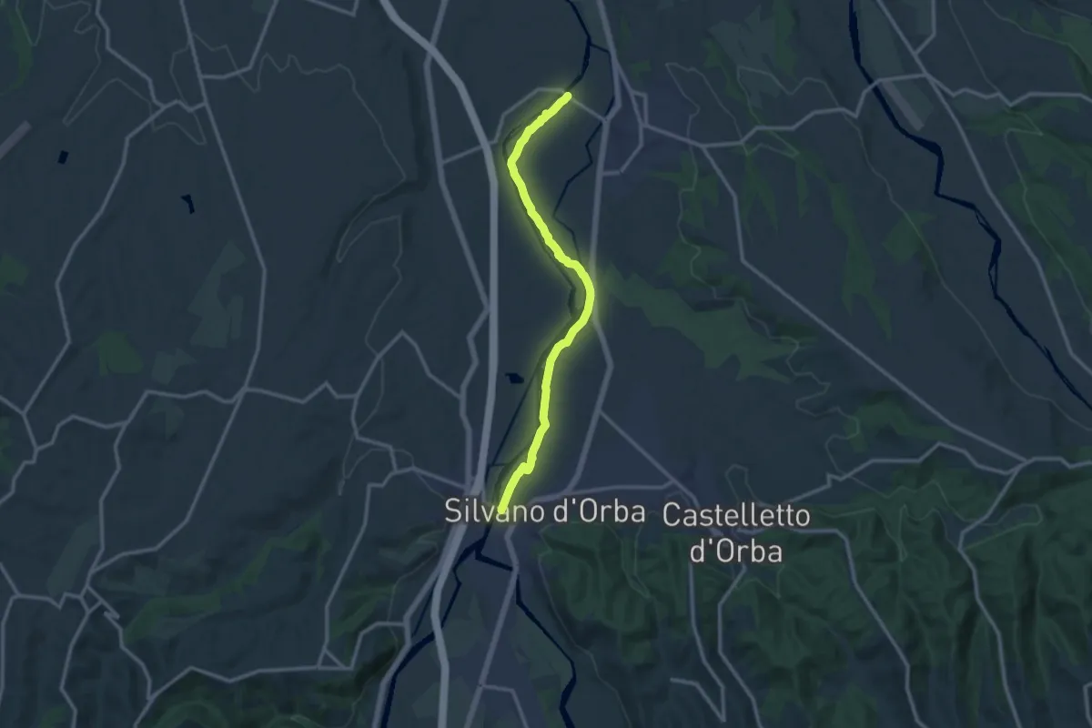
Medium · Trail
Capriata d'Orba, ponte sull'Orba, bivio ALA302-ALA301 – Silvano d'Orba, ponte sull'Orba, bivio ALA302-ALA330
12.1 km · ↑ 23 m · 2 h 55 min · 13 km away
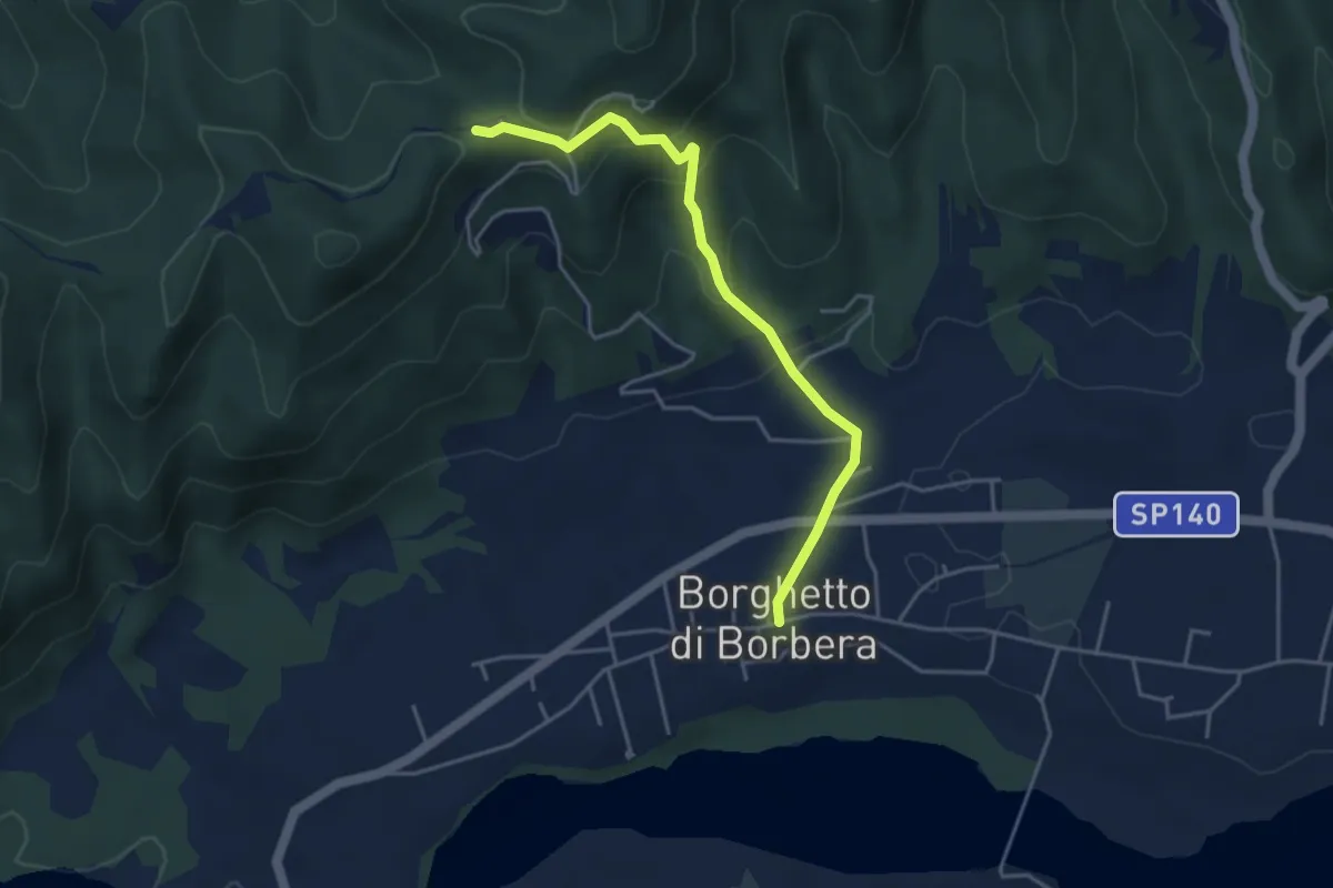
Easy · Trail
Borghetto Borbera – Bivio ALA200-ALA204 presso Santuario Cà del Bello
4.2 km · ↑ 214 m · 1 h 28 min · 13 km away
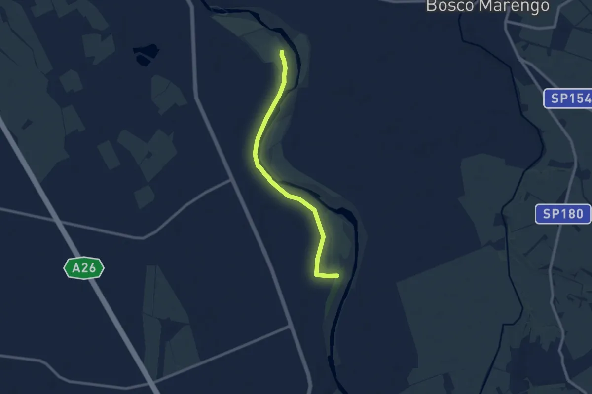
Easy · Trail
Località Pennaceto – Bivio ALA830-ALA330, Mulino Retorto
7.4 km · ↑ 9 m · 1 h 45 min · 13 km away
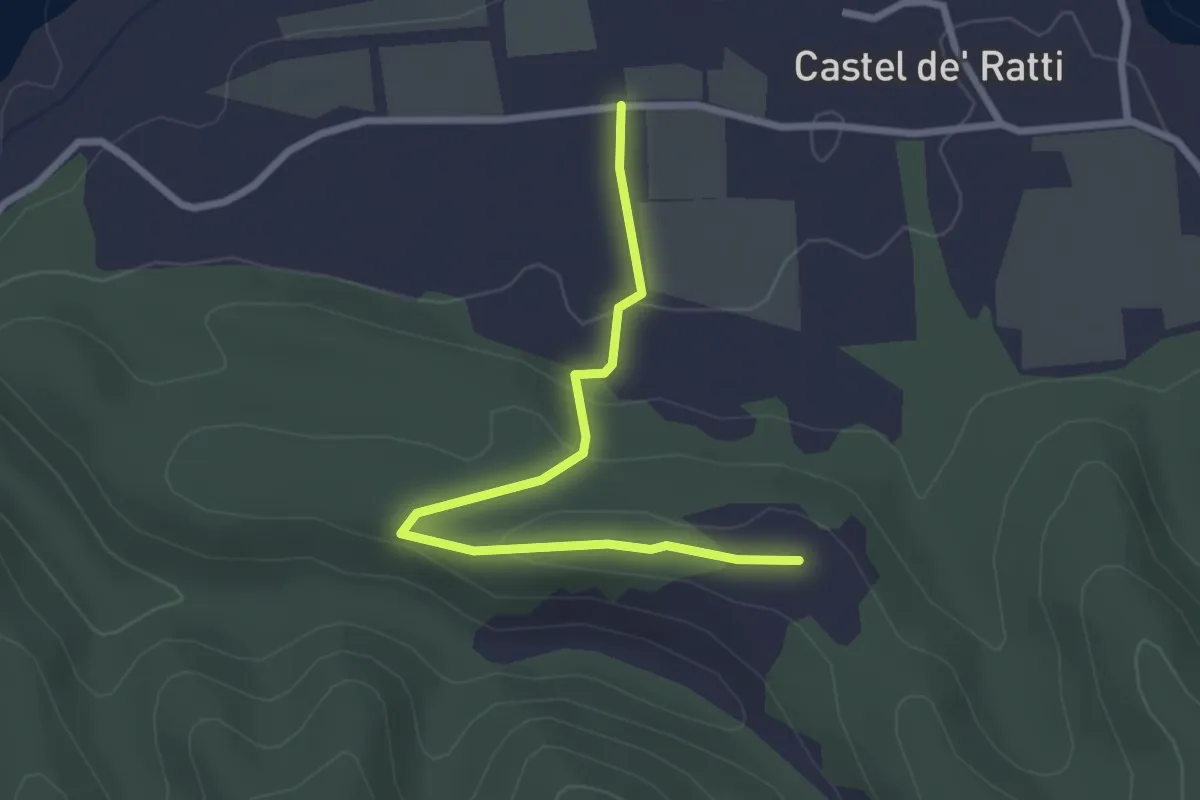
Easy · Trail
Località Bambino di Praga, bivio strada Castel Ratti - Variano – Bivio ALA276-ALA277
2.8 km · ↑ 59 m · 48 min · 13 km away
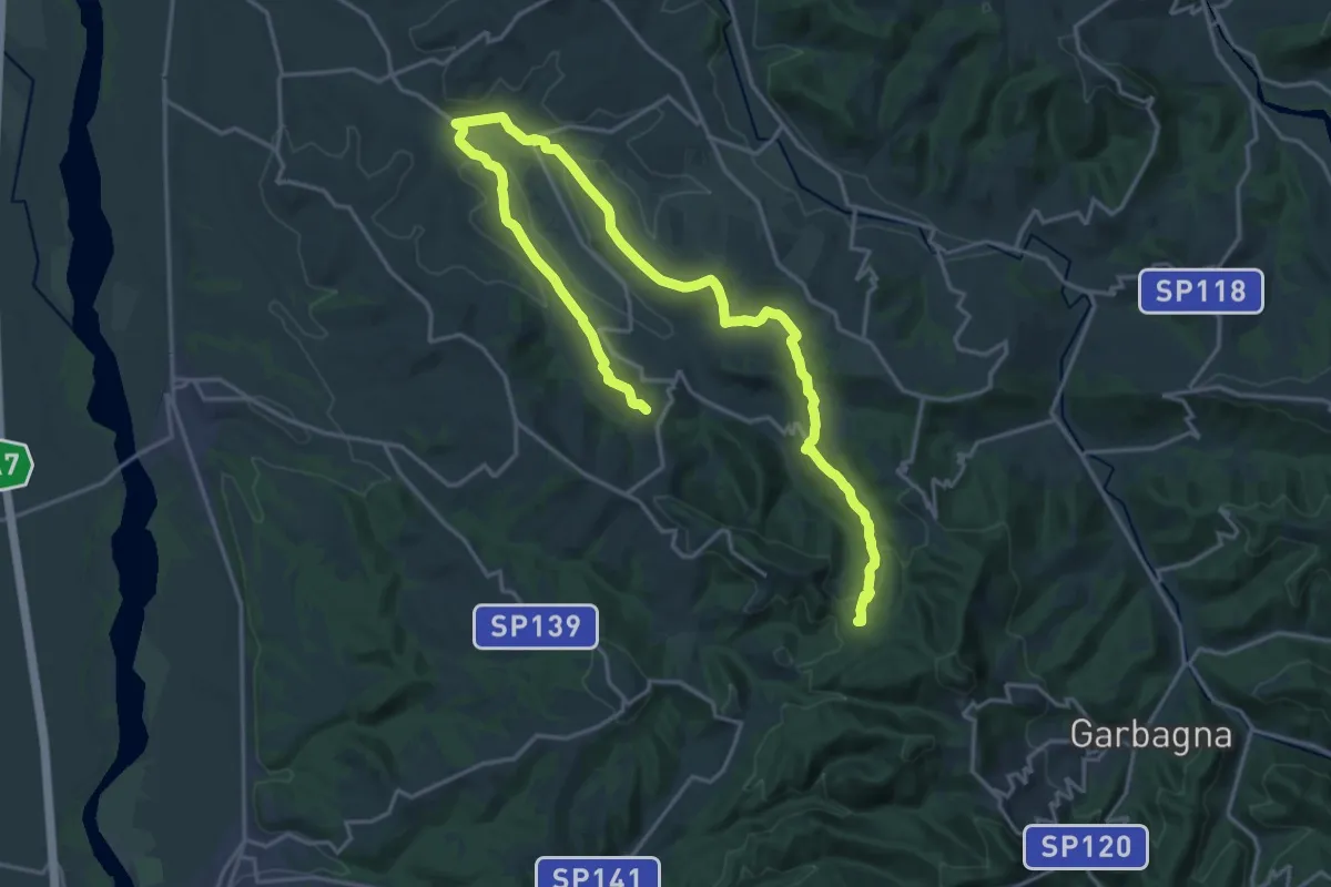
Demanding · Trail
Le sorgenti del torrente Ossona
27.6 km · ↑ 630 m · 7 h 53 min · 14 km away
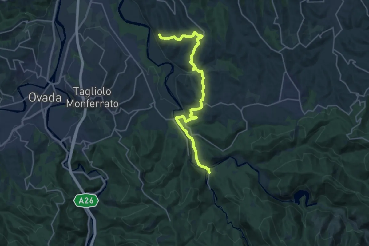
Medium · Trail
Lerma, Cascina Cirimilla, bivio ALA414-ALA430-ALA431 – Silvano d'Orba, presso Cascina Setteventi, bivio ALA330-ALA430
17.9 km · ↑ 487 m · 5 h 17 min · 14 km away
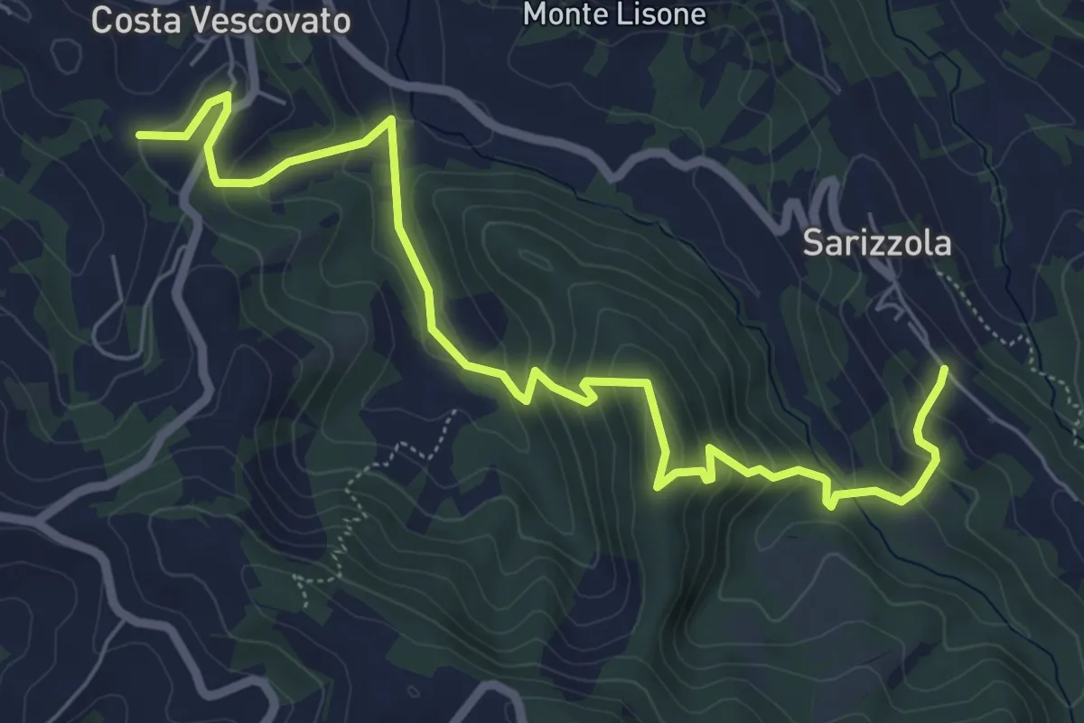
Medium · Trail
Costa Vescovato, bivio ALA124-ALA118B – Sarizzola, bivio ALA118-ALA118B
7.5 km · ↑ 421 m · 2 h 41 min · 14 km away
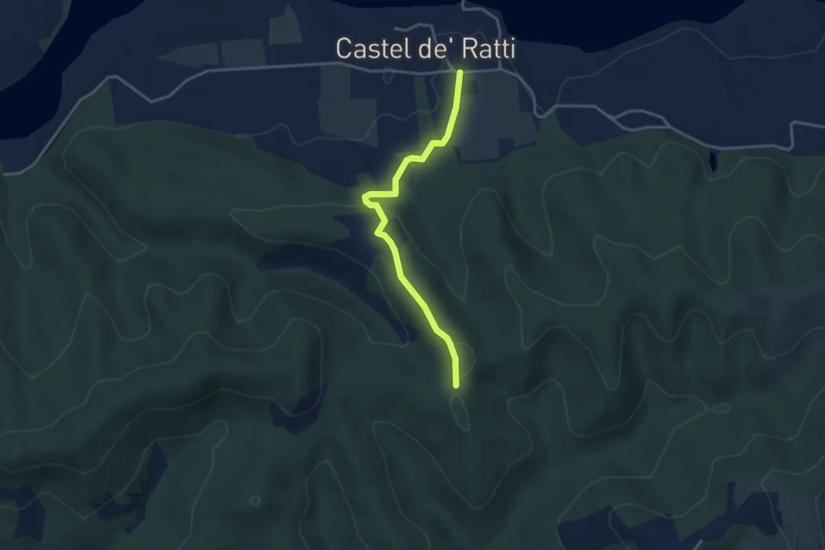
Easy · Trail
Castel Ratti – Presso Costa Muta, bivio ALA275-ALA276
3.1 km · ↑ 95 m · 57 min · 14 km away
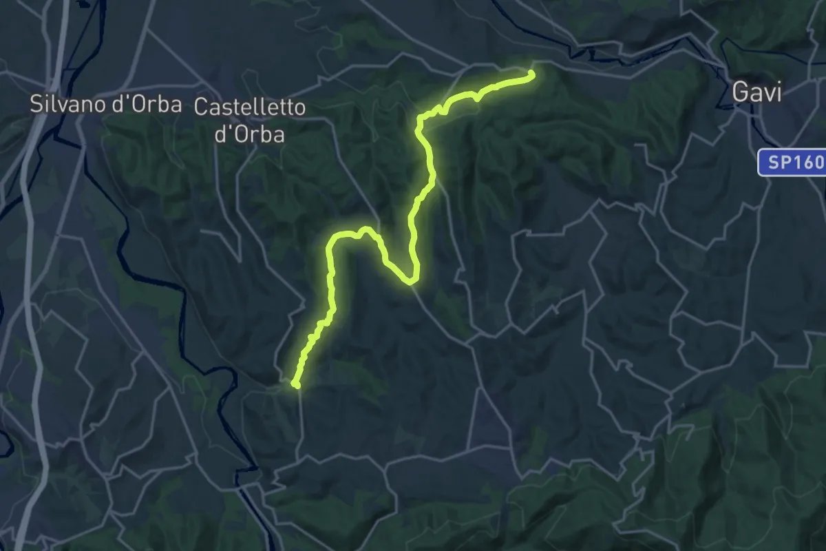
Demanding · Trail
Lerma, Valle Scura, bivio ALA430-ALA320 – San Cristoforo, bivio ALA390-ALA320
19.5 km · ↑ 567 m · 5 h 50 min · 14 km away
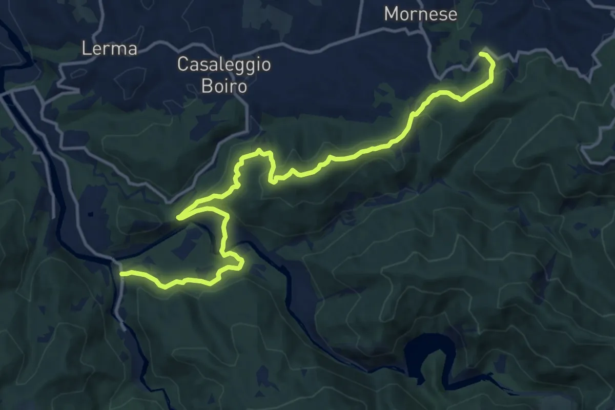
Medium · Trail
Bivio 414-430-431, Cascina Cirimilla – Santuario Santa Maria Domenica Mazzarello
15.2 km · ↑ 577 m · 4 h 50 min · 14 km away
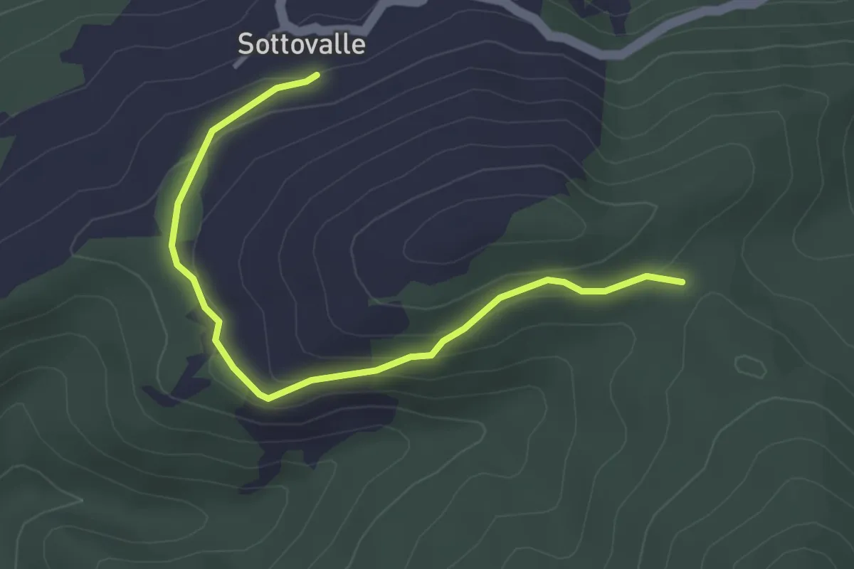
Easy · Trail
Frazione Sottovalle, bivio ALA2E1-ALA2E1A – Pian del lupo, bivio ALA2E1-ALA2E1A
3.6 km · ↑ 121 m · 1 h 7 min · 15 km away
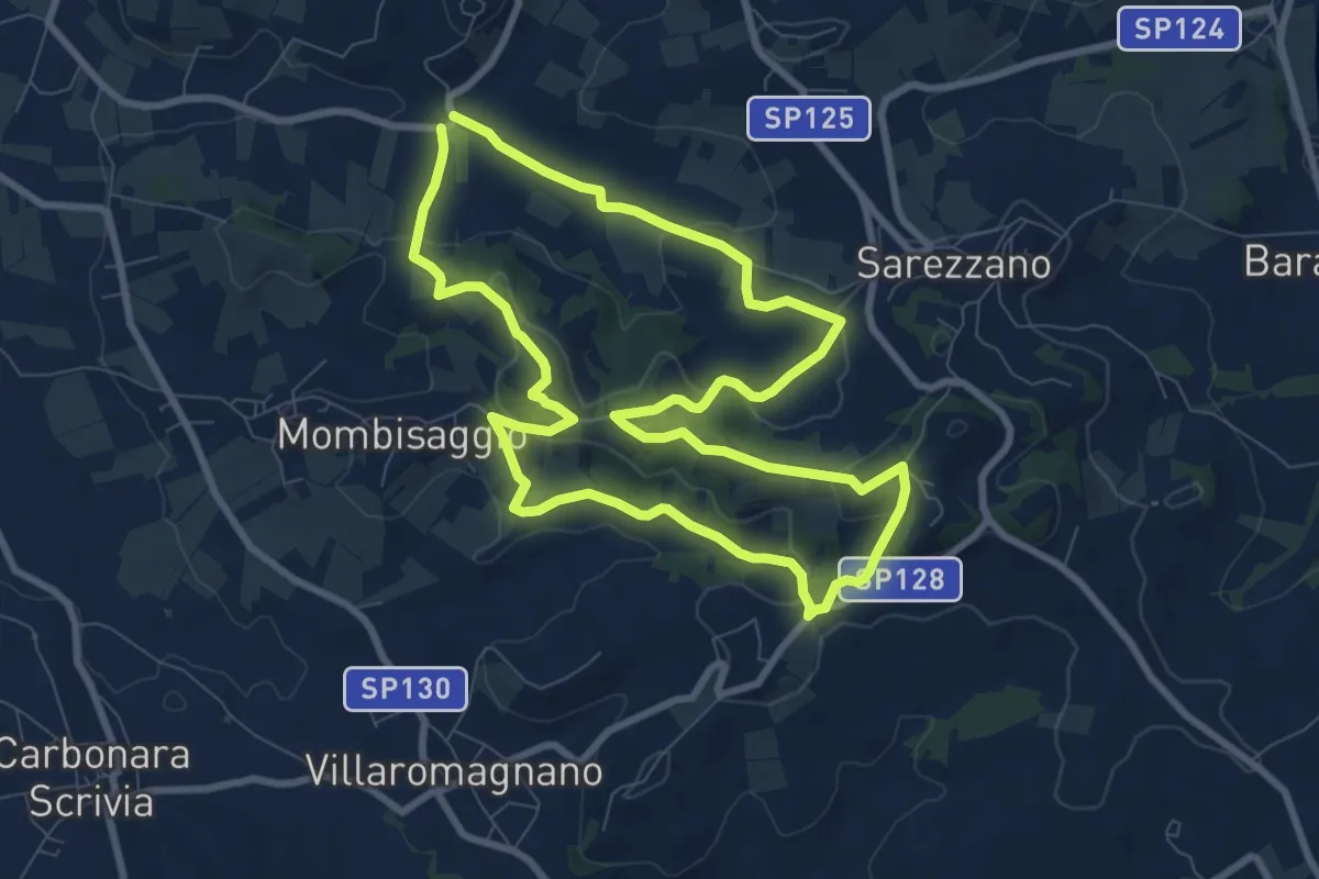
Medium · Summit
Anello del Gambera
8.8 km · ↑ 270 m · 2 h 48 min · 15 km away