Trails near Oggiono
309 hikes starting within 15 km, nearest first.
Nearest first, page 1 of 7
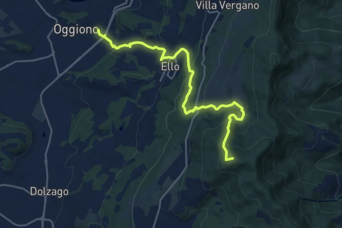
Medium · Summit
Oggiono – Monte Crocione
11.5 km · ↑ 618 m · 4 h 3 min · under 1 km away
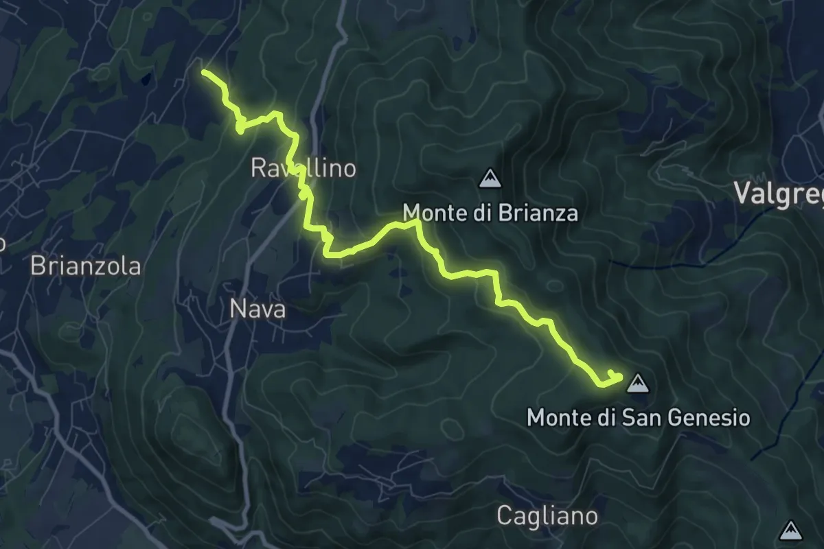
Medium · Summit
Marconaga – Monte di San Genesio
9.9 km · ↑ 516 m · 3 h 28 min · 2 km away
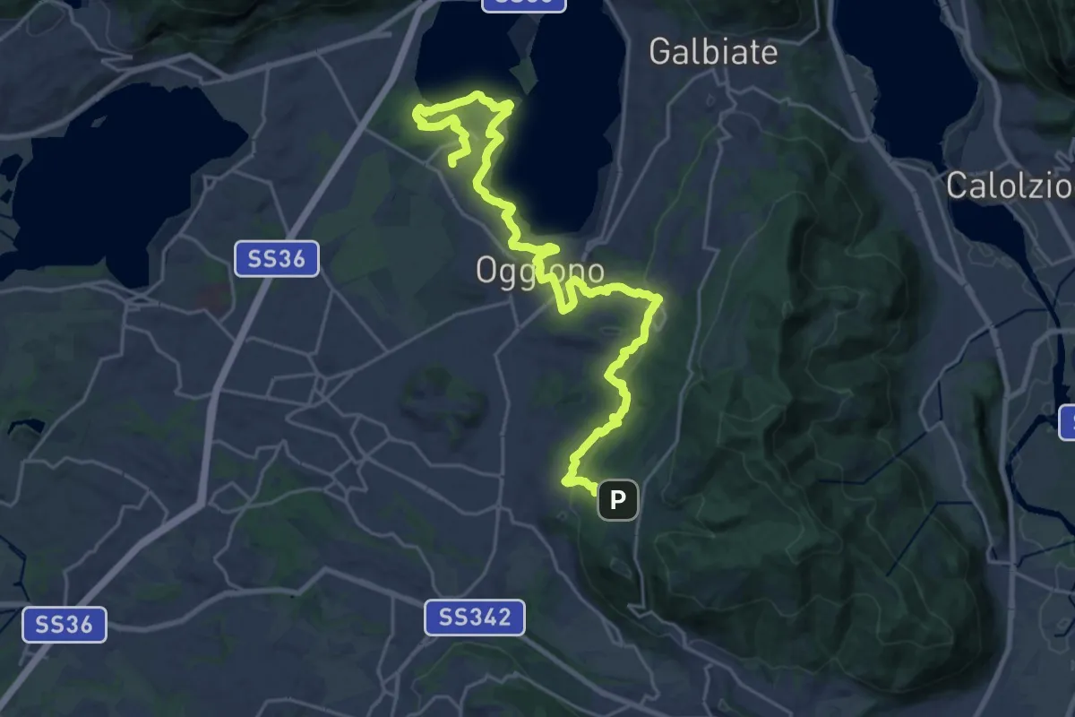
Medium · Trail
Antico Percorso di Fede dell'Alta Brianza
14.0 km · ↑ 200 m · 4 h 4 min · 3 km away
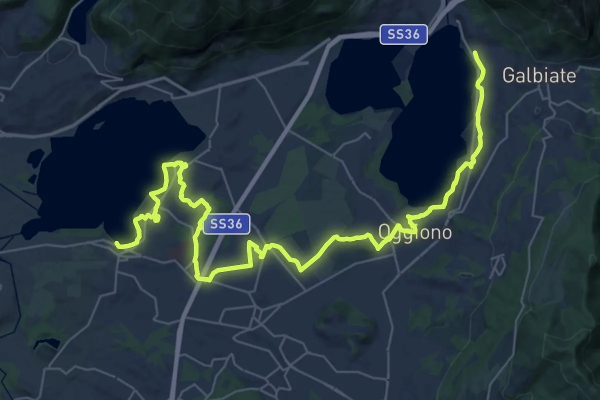
Medium · Trail
Sentiero Pedemonte - Tappa 3
16.6 km · ↑ 163 m · 4 h 30 min · 4 km away
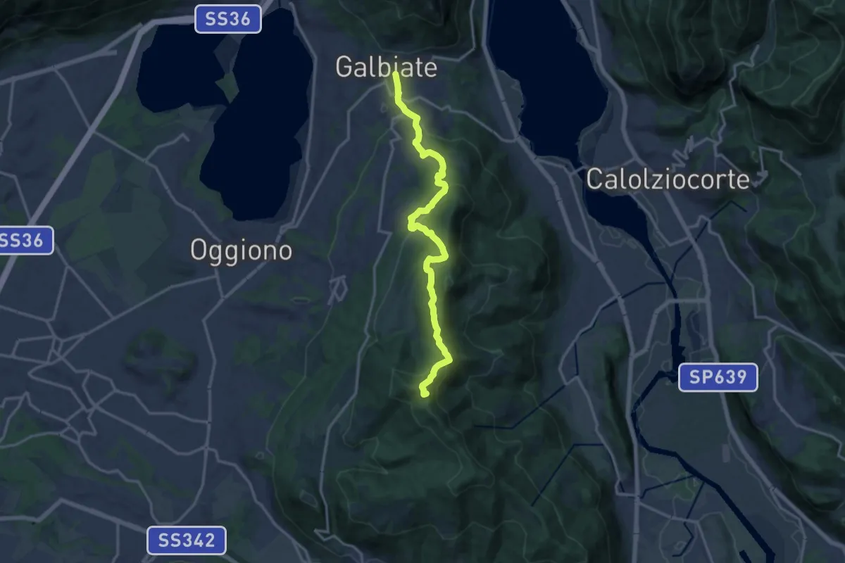
Medium · Summit
Olgiate Molgora (FS) – Galbiate
14.3 km · ↑ 669 m · 4 h 50 min · 4 km away
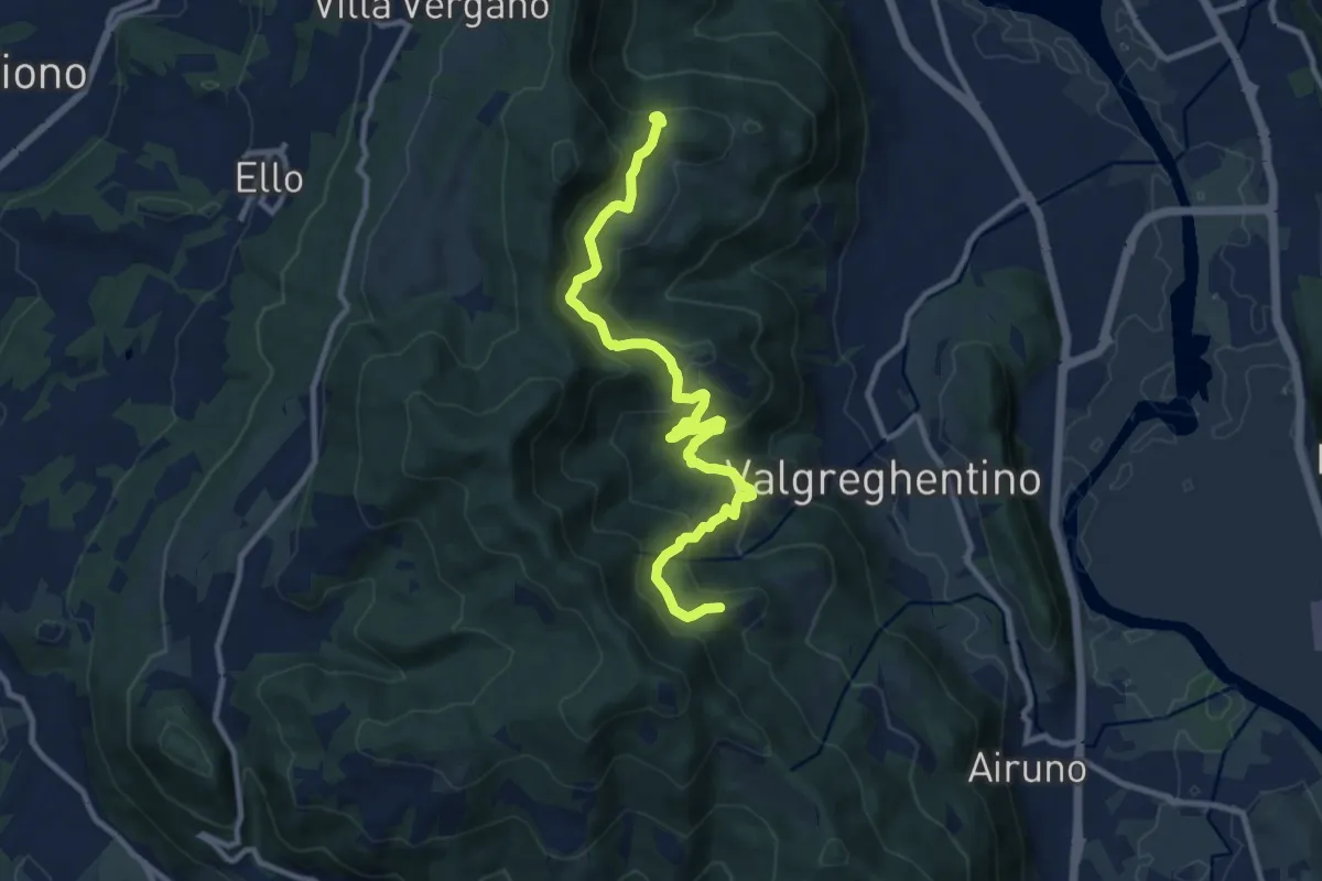
Medium · Trail
Campiano – Consonno
11.0 km · ↑ 534 m · 3 h 45 min · 4 km away
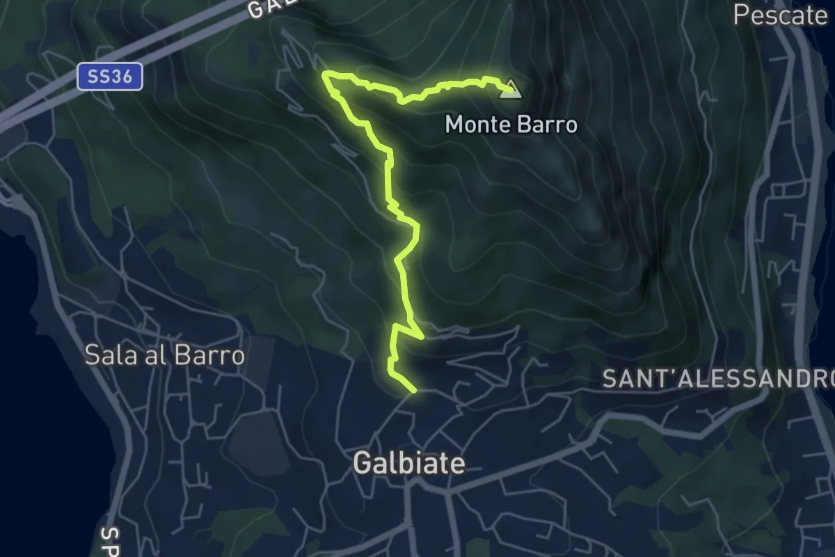
Demanding · Summit
Galbiate (lavatoio) – Monte Barro
5.3 km · ↑ 485 m · 2 h 18 min · 4 km away
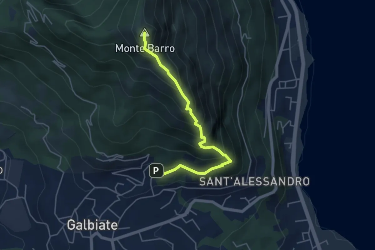
Expert · Summit
Galbiate – Monte Barro
4.1 km · ↑ 475 m · 2 h · 4 km away
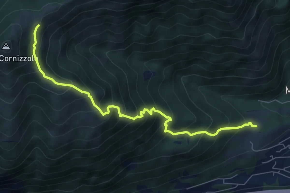
Medium · Cabin
Pozzo – Rifugio SEC Marisa Consigliere
6.7 km · ↑ 747 m · 3 h 12 min · 4 km away
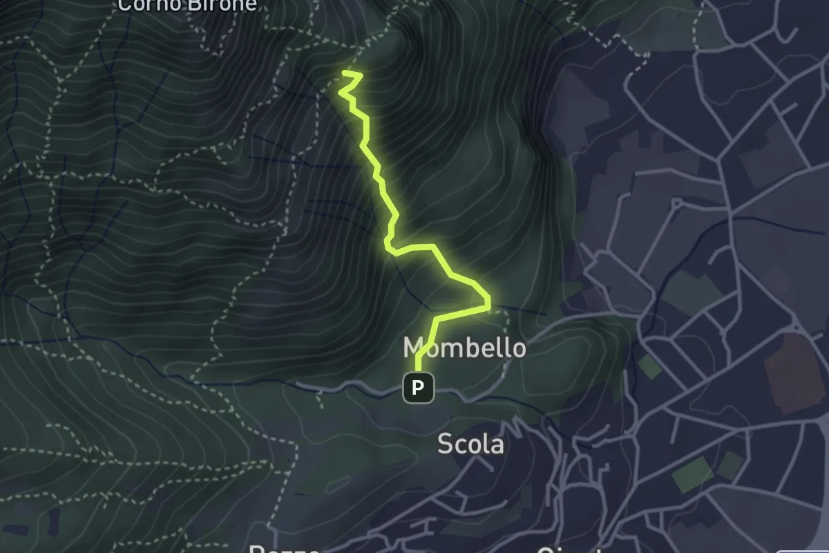
Medium · Trail
Mombello – Innesto 8 SEC
2.7 km · ↑ 375 m · 1 h 27 min · 5 km away
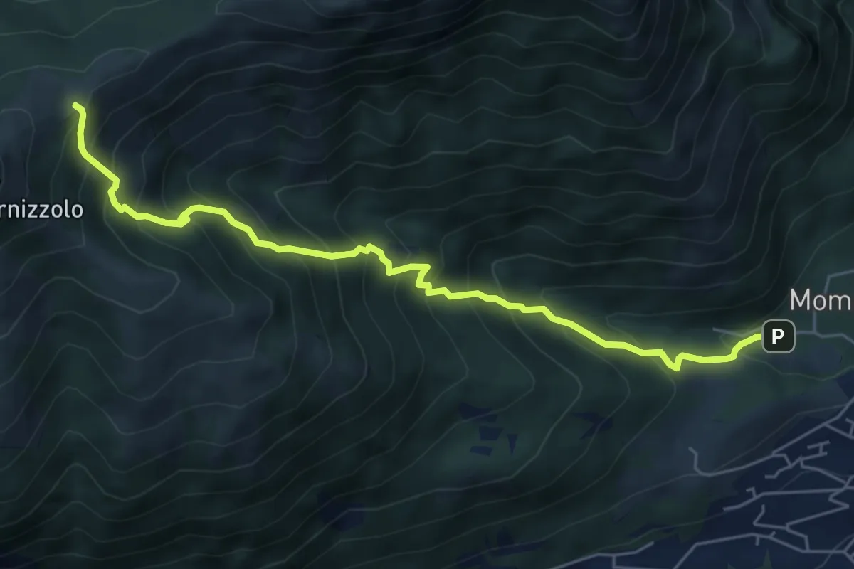
Medium · Cabin
Pozzo – Rifugio SEC Marisa Consigliere
6.2 km · ↑ 778 m · 3 h 9 min · 5 km away
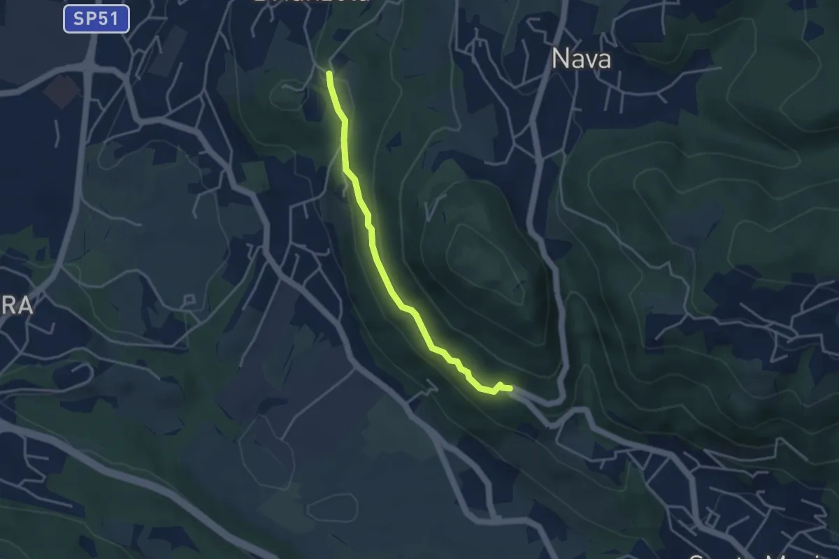
Easy · Trail
Brianzola – Ceppetto
3.3 km · ↑ 108 m · 1 h 1 min · 5 km away
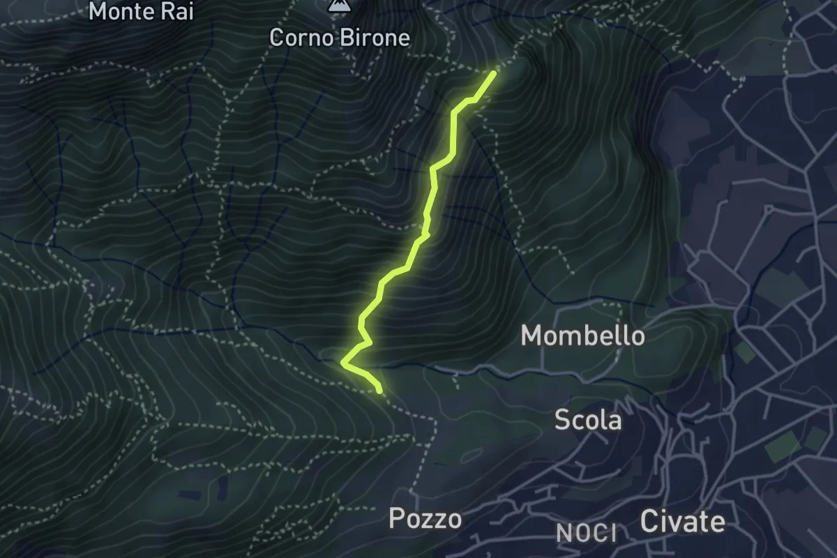
Medium · Trail
Cascina Oro – Ceppo della Forcola
2.6 km · ↑ 345 m · 1 h 22 min · 5 km away
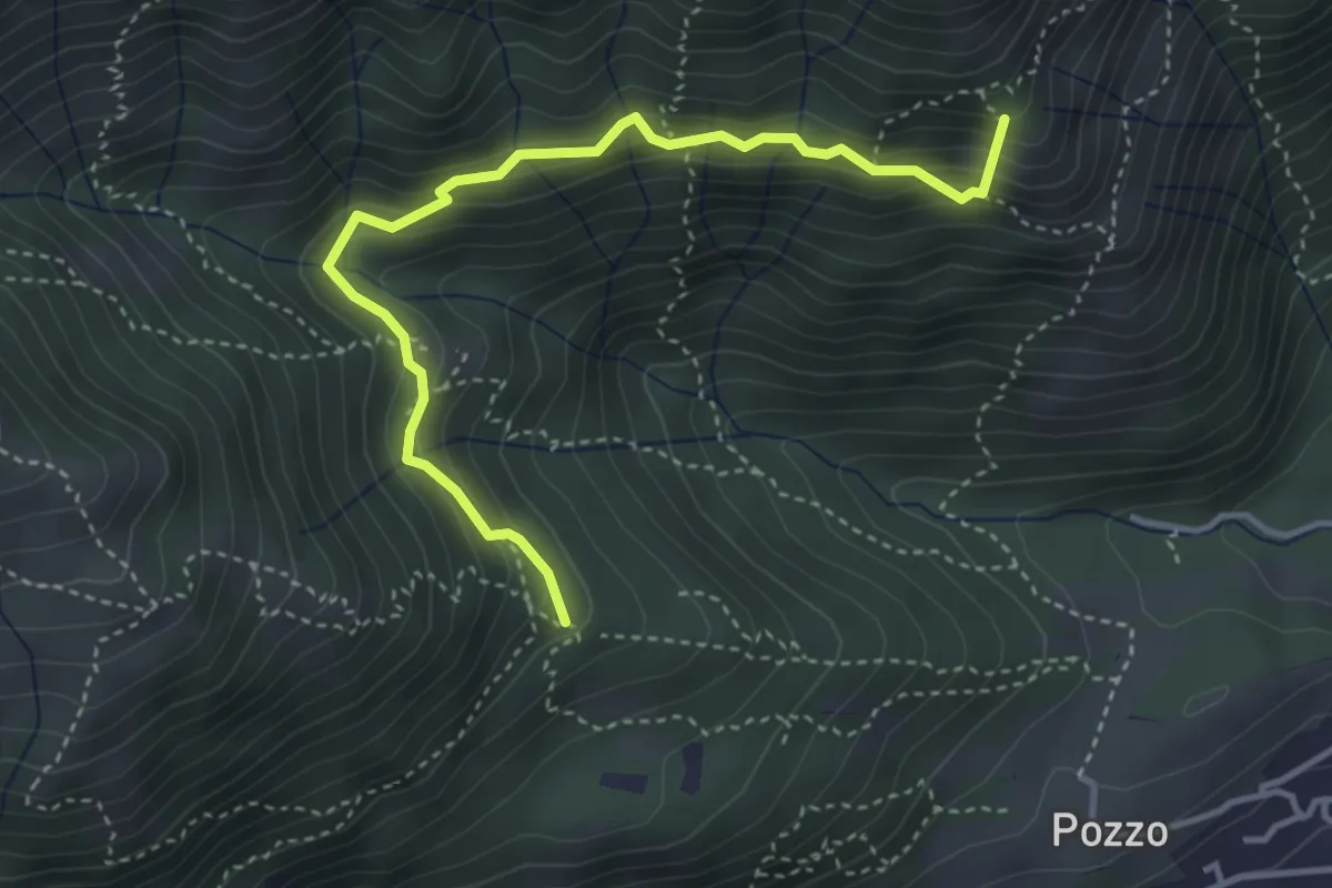
Medium · Summit
Tre Casott – Dosso della Guardia
4.1 km · ↑ 347 m · 1 h 43 min · 5 km away
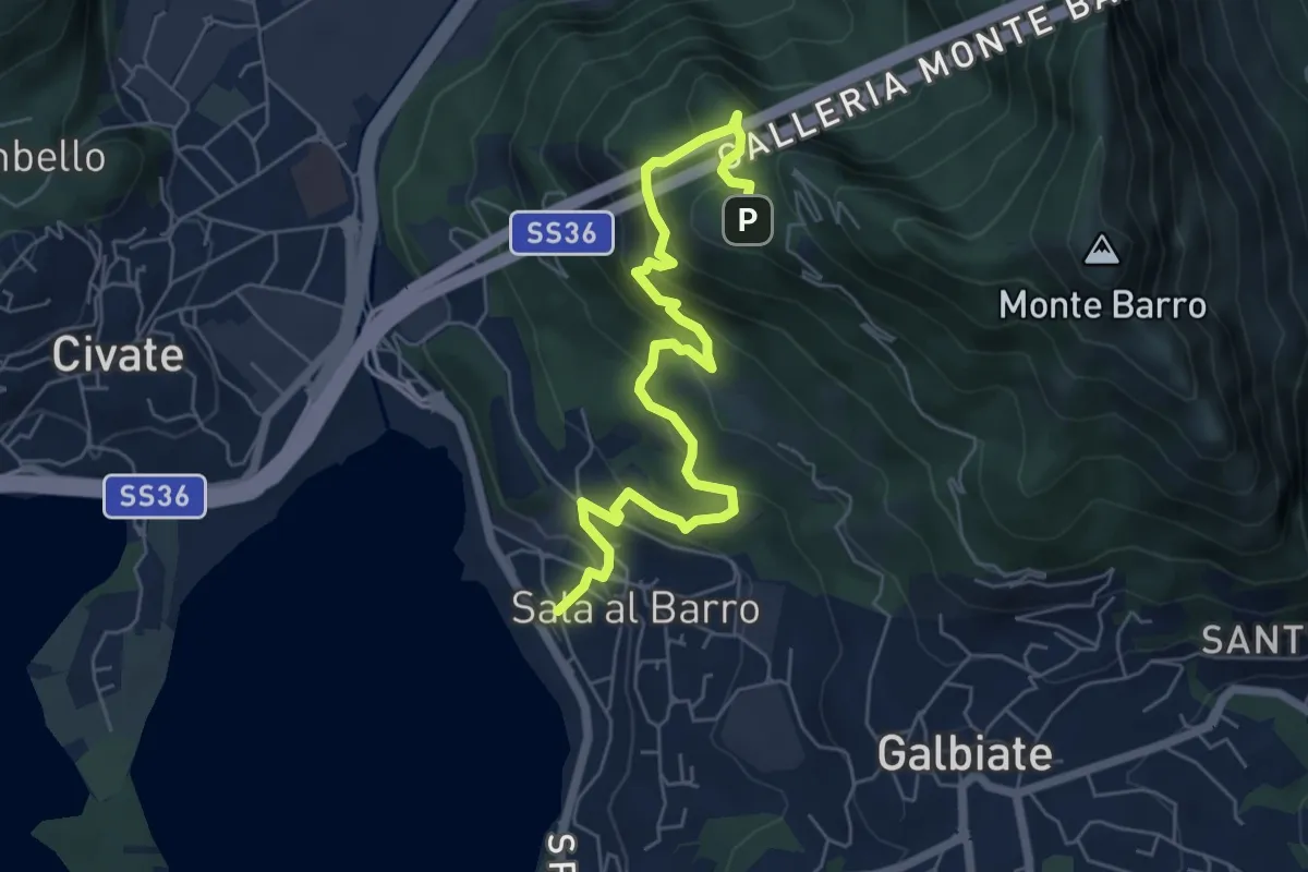
Medium · Trail
Sala al Barro (FS) – Parco archeologico Monte Barro
6.9 km · ↑ 476 m · 2 h 40 min · 5 km away
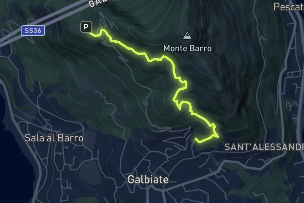
Medium · Trail
Galbiate – Parco archeologico Monte Barro
5.6 km · ↑ 521 m · 2 h 27 min · 5 km away
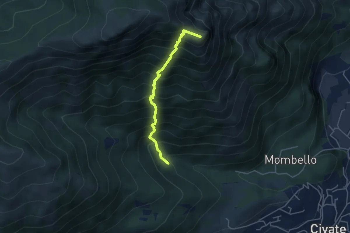
Medium · Summit
Innesto 10 SEC – Innesto 1 OSA
3.2 km · ↑ 652 m · 2 h 10 min · 5 km away
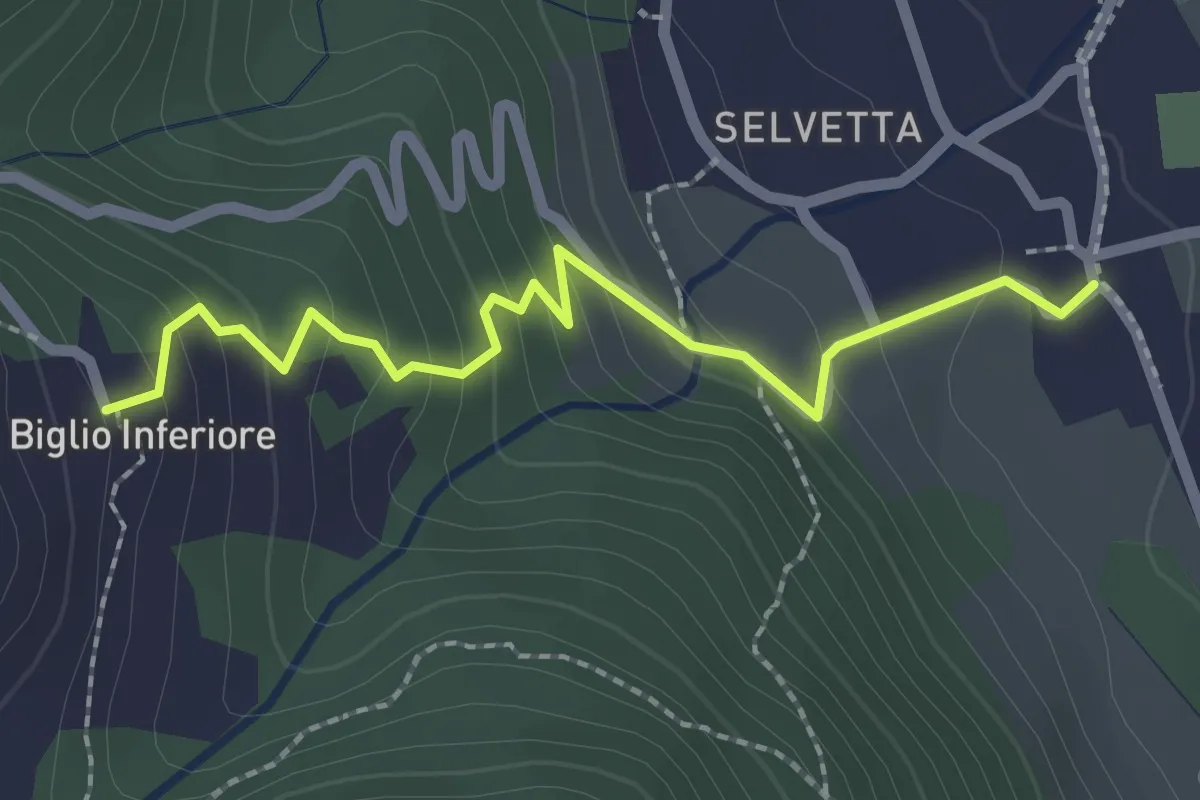
Easy · Trail
Valgreghentino – Biglio Inferiore
2.3 km · ↑ 184 m · 57 min · 5 km away
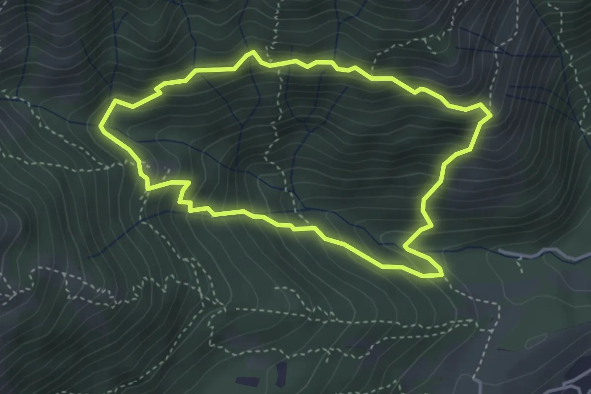
Medium · Summit
Anello dei Tre Casott
3.5 km · ↑ 387 m · 1 h 42 min · 5 km away
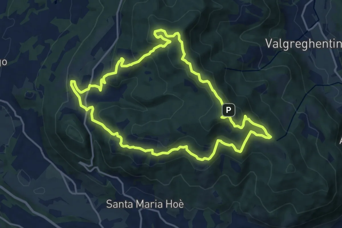
Medium · Summit
Percorso geologico naturalistico
12.1 km · ↑ 534 m · 4 h 12 min · 5 km away
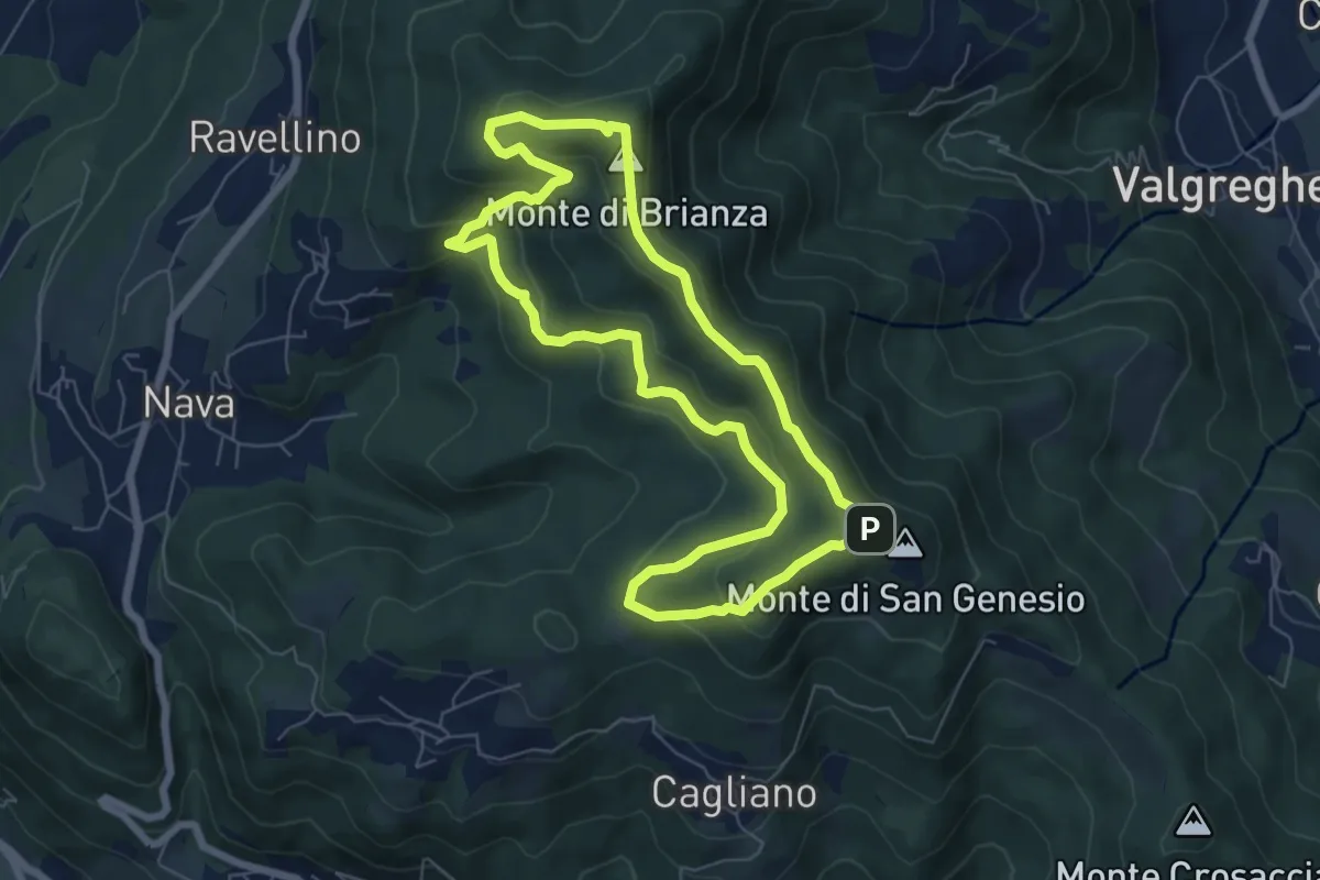
Medium · Summit
Sentiero Clorofillati!
6.5 km · ↑ 317 m · 2 h 19 min · 5 km away
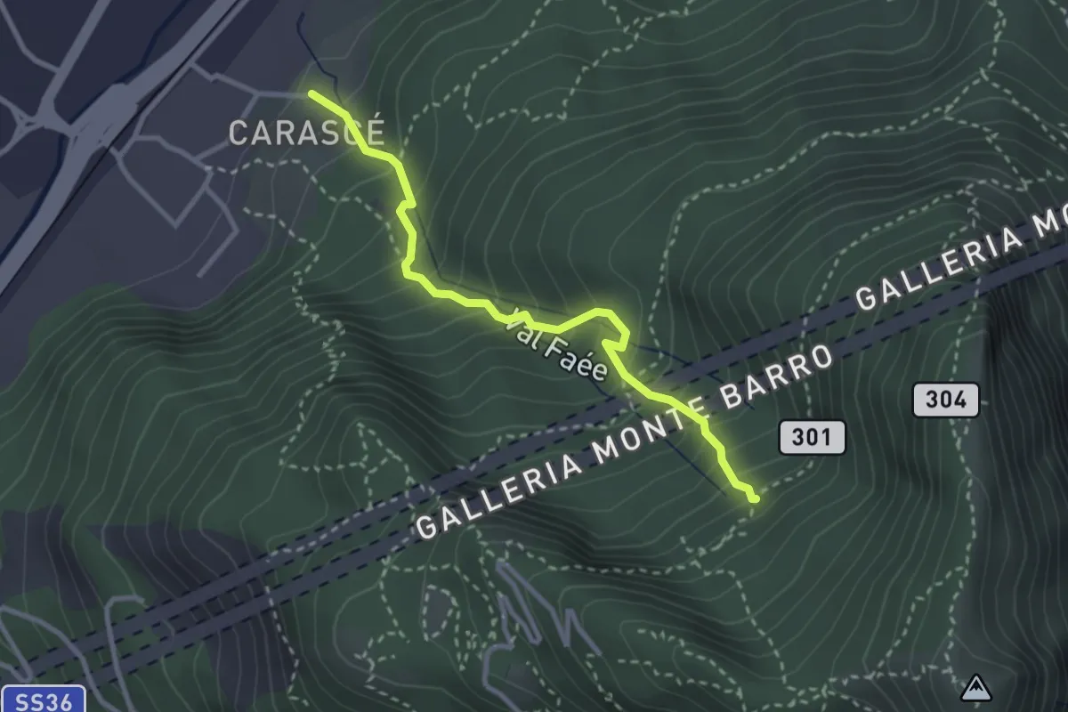
Medium · Trail
Carascé – Faée Alto
2.9 km · ↑ 388 m · 1 h 31 min · 5 km away
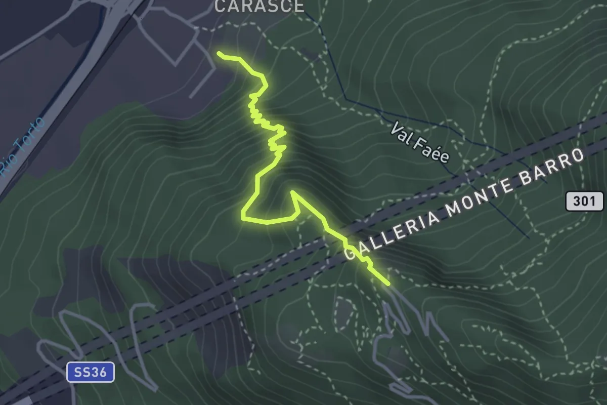
Medium · Trail
Valmadrera (fornaci Villa) – Culcinera
3.1 km · ↑ 428 m · 1 h 40 min · 5 km away
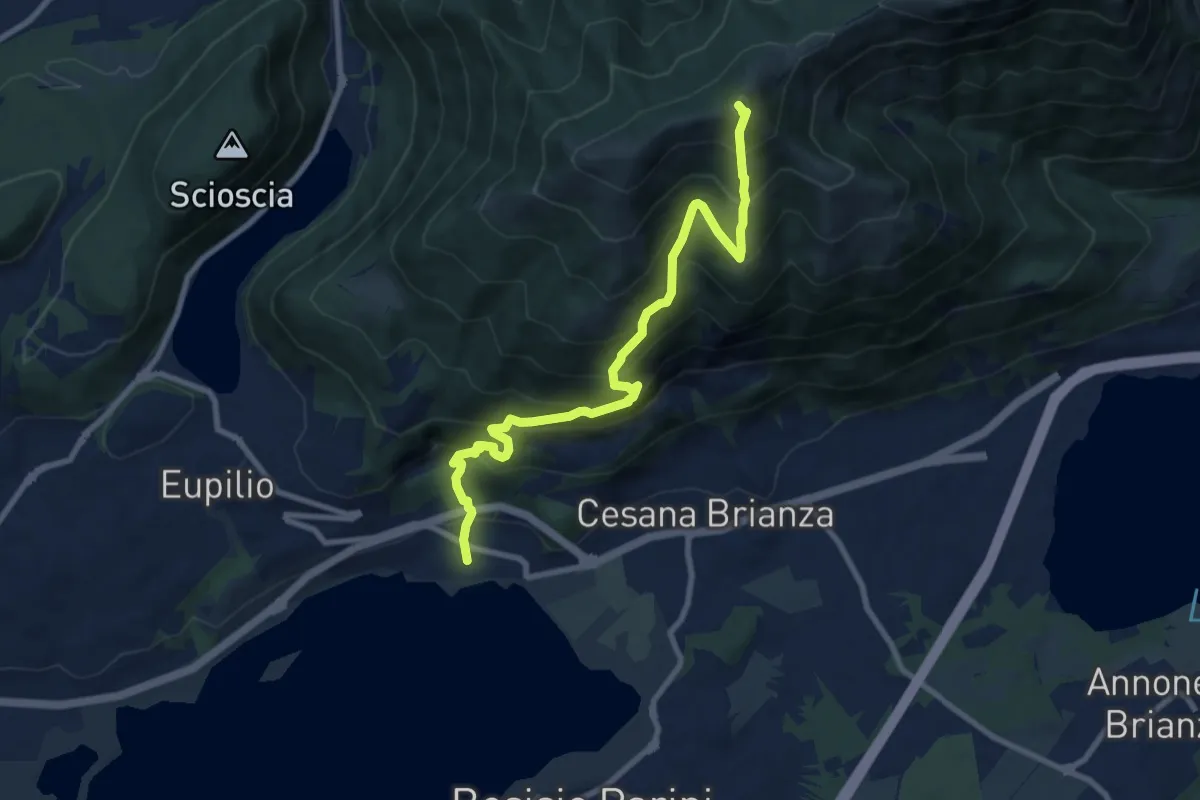
Demanding · Summit
Pusiano – Monte Cornizzolo
9.6 km · ↑ 1053 m · 4 h 32 min · 5 km away
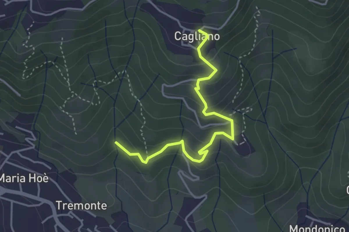
Easy · Trail
Ponte del Bordeà – Cagliano
3.6 km · ↑ 253 m · 1 h 25 min · 6 km away
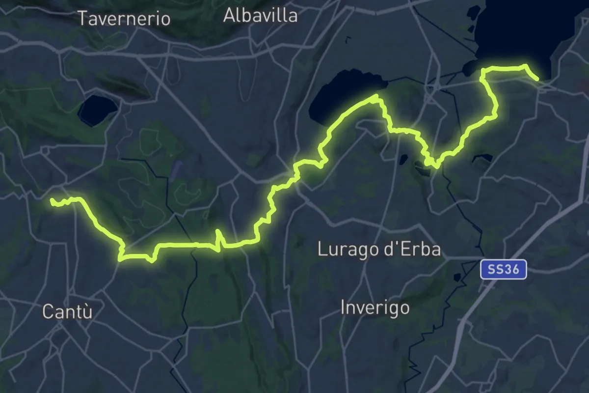
Demanding · Trail
Sentiero Pedemonte - Tappa 2
21.4 km · ↑ 377 m · 6 h 7 min · 6 km away
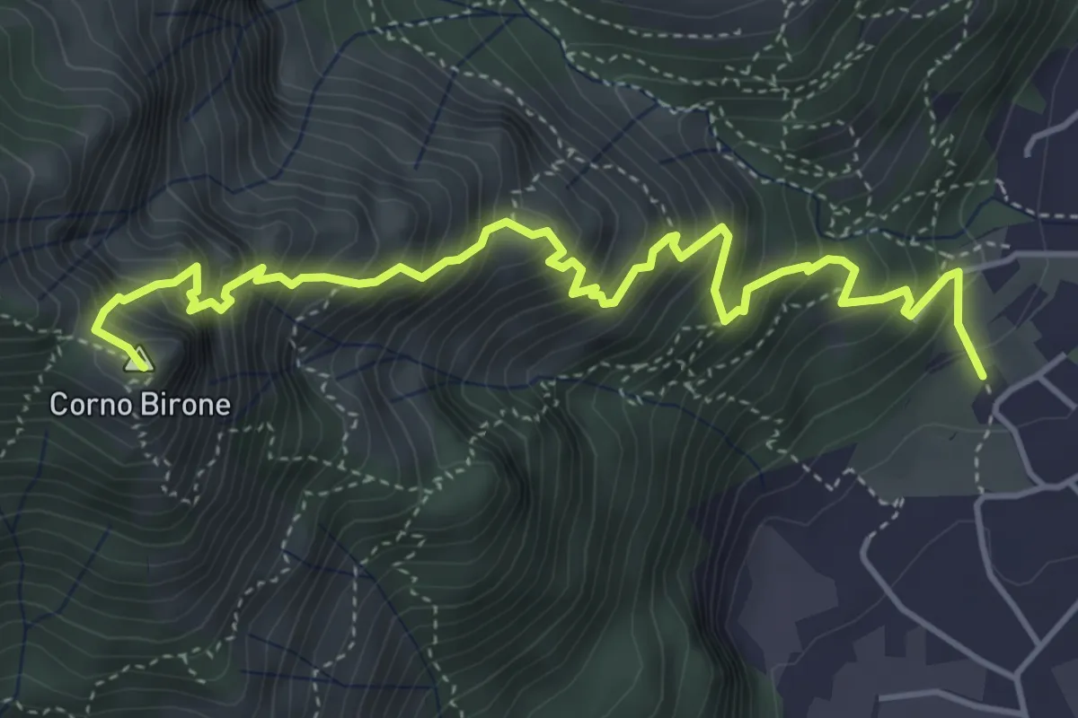
Expert · Summit
Sentiero Dario e William
5.4 km · ↑ 872 m · 3 h 10 min · 6 km away
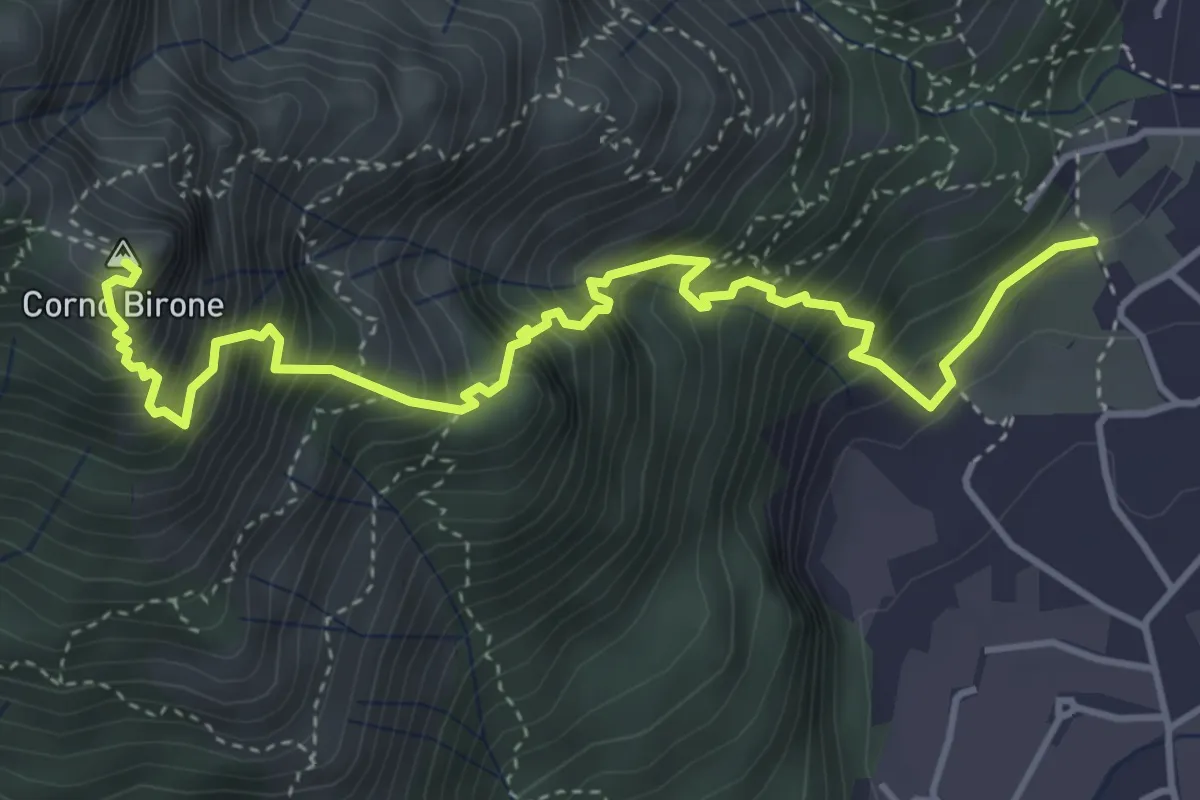
Demanding · Summit
Sentiero Lucio Vassena
5.0 km · ↑ 898 m · 3 h 7 min · 6 km away
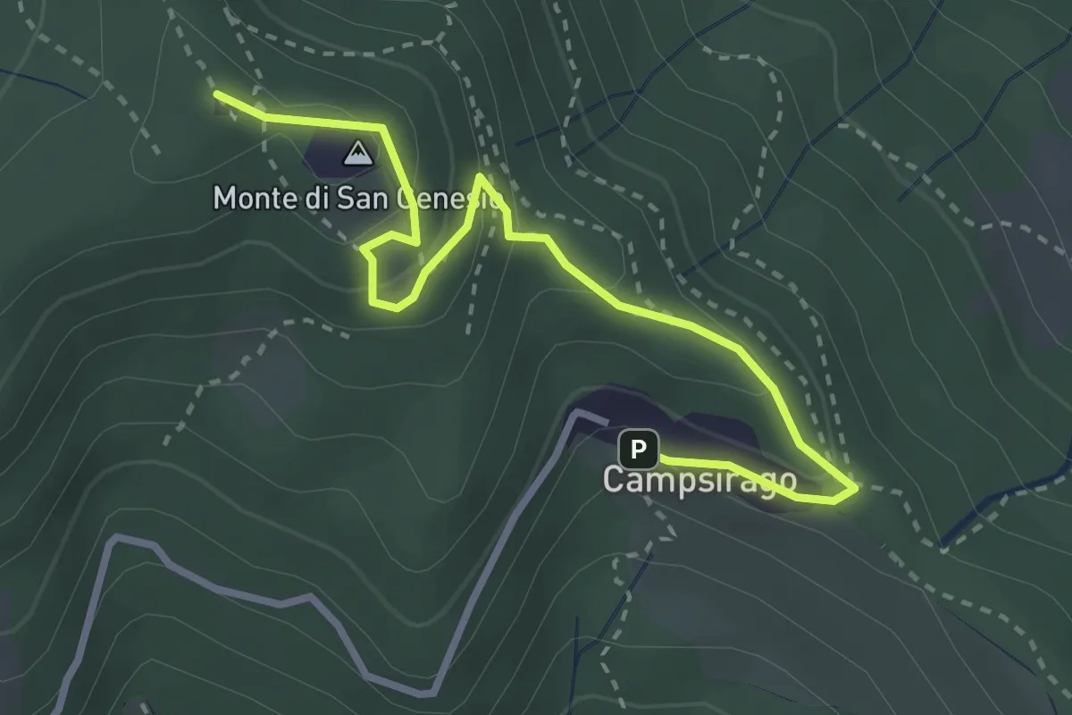
Medium · Summit
Il Sentiero di Giano
3.4 km · ↑ 182 m · 1 h 11 min · 6 km away
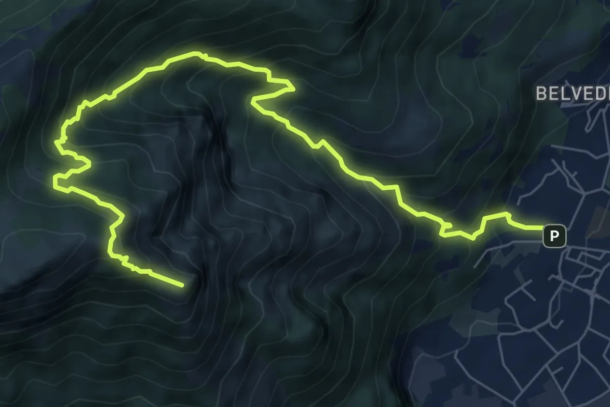
Expert · Summit
Caserta – Corno Birone
9.3 km · ↑ 1043 m · 4 h 28 min · 6 km away
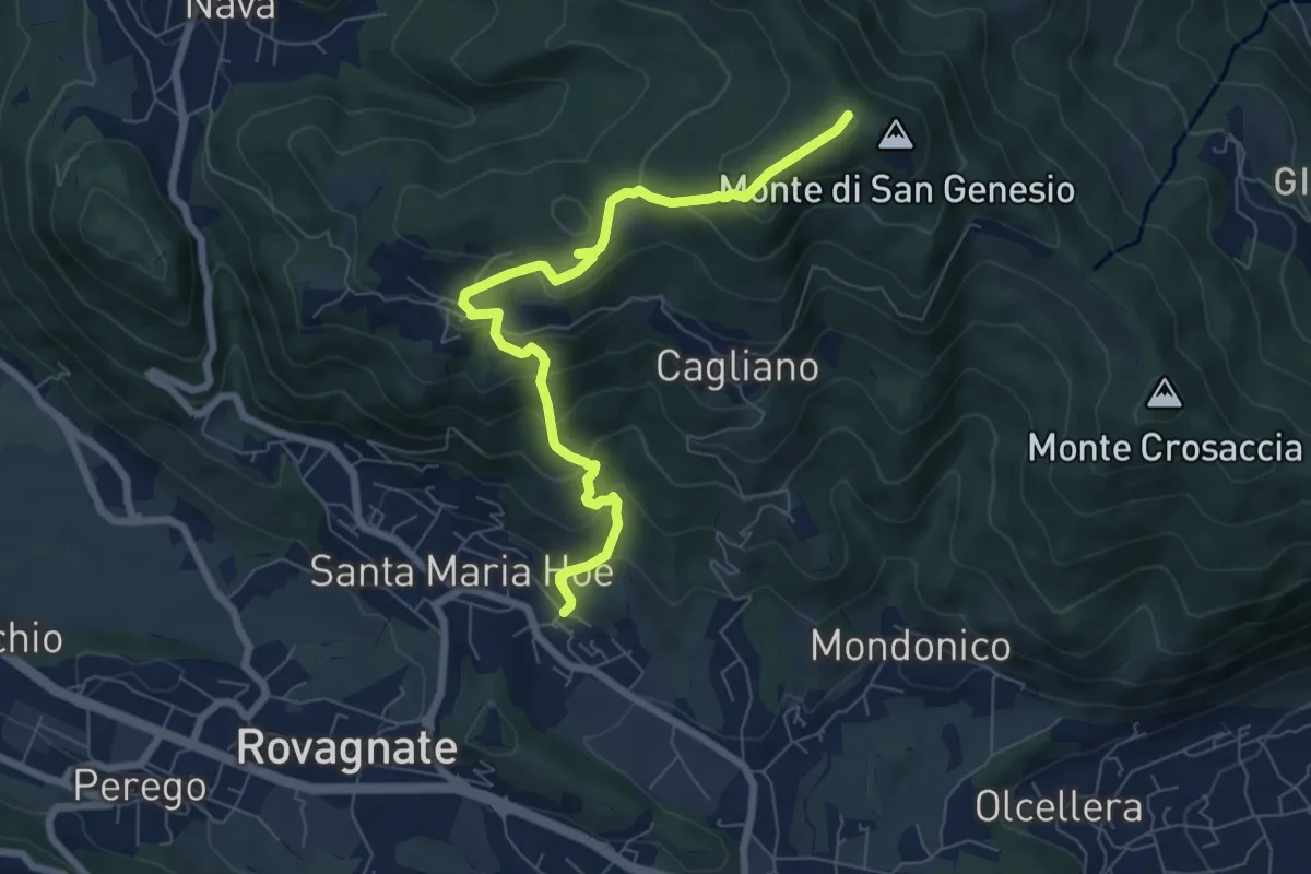
Medium · Summit
Tremonte – Monte di San Genesio
7.4 km · ↑ 475 m · 2 h 47 min · 6 km away
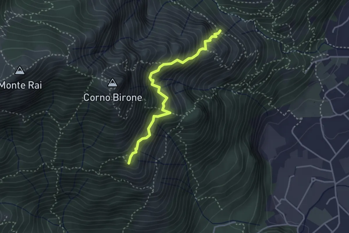
Demanding · Summit
Sentiero del Luisin
3.1 km · ↑ 489 m · 1 h 48 min · 6 km away
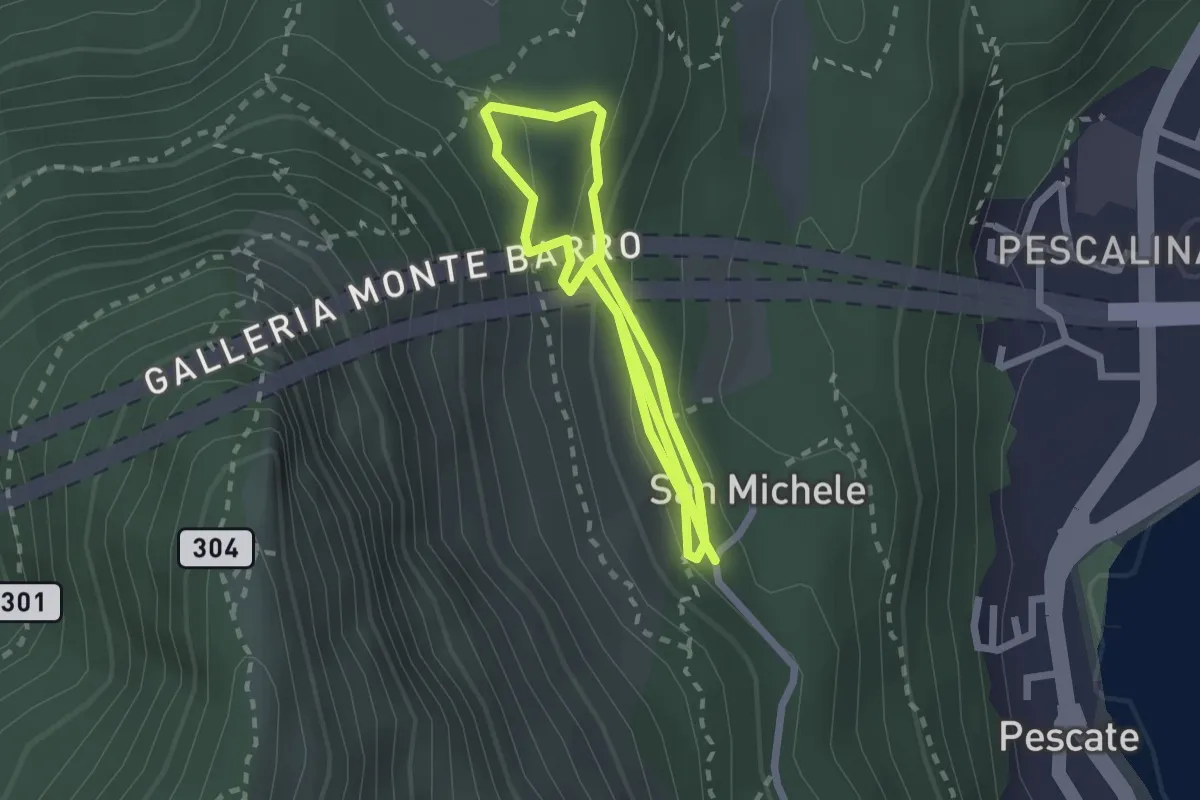
Medium · Trail
San Michele – San Michele
4.2 km · ↑ 208 m · 1 h 26 min · 6 km away
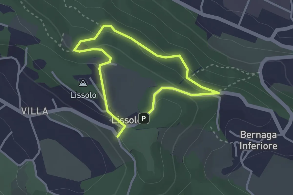
Easy · Summit
Sentiero dei Proverbi
2.0 km · ↑ 74 m · 39 min · 6 km away
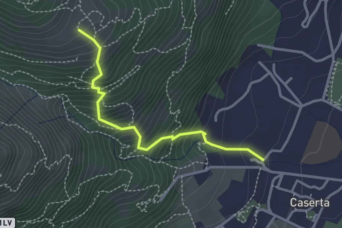
Demanding · Trail
Caserta – San Tomaso
2.2 km · ↑ 312 m · 1 h 12 min · 6 km away
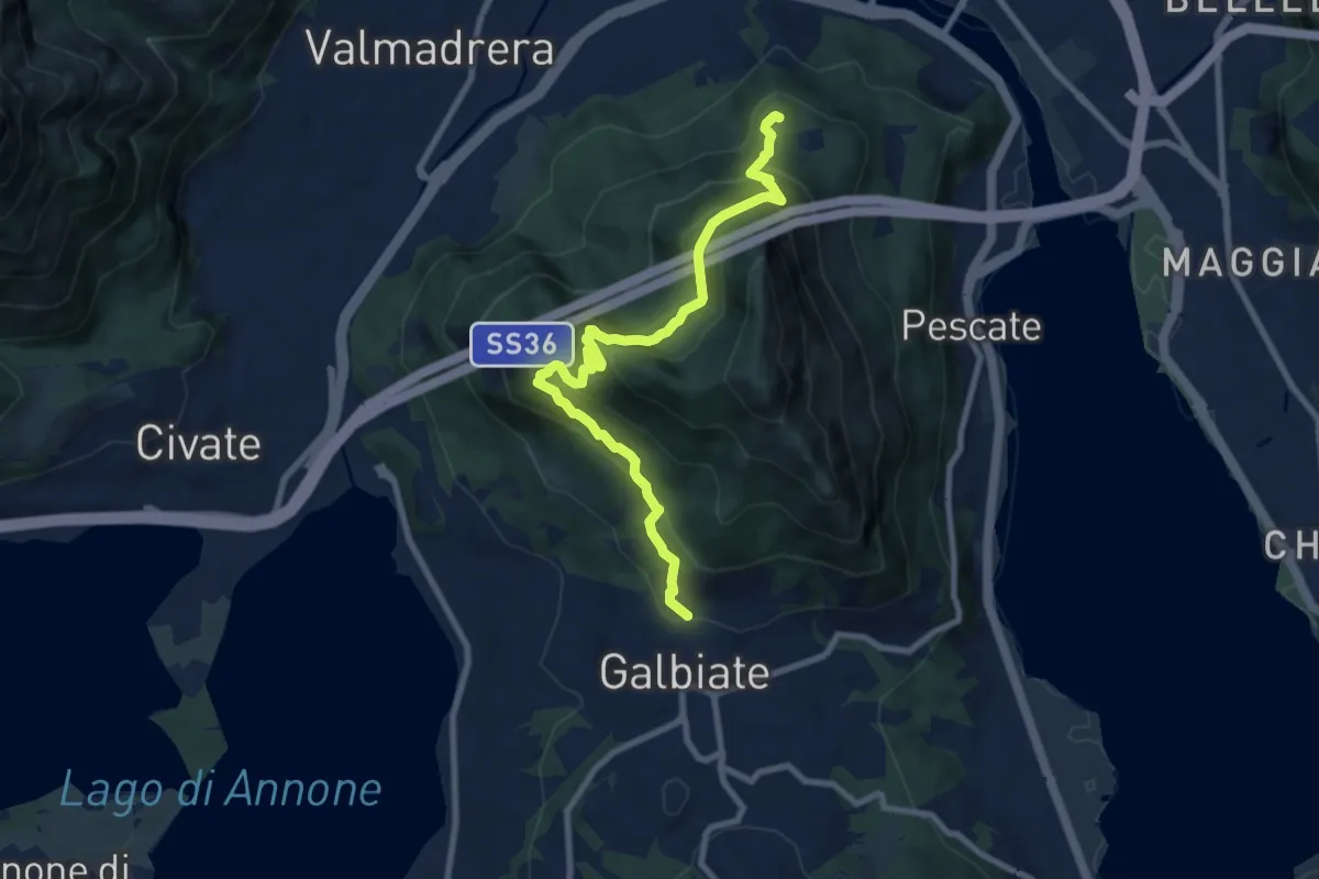
Medium · Trail
Sentiero di mezzo
9.3 km · ↑ 734 m · 3 h 47 min · 6 km away
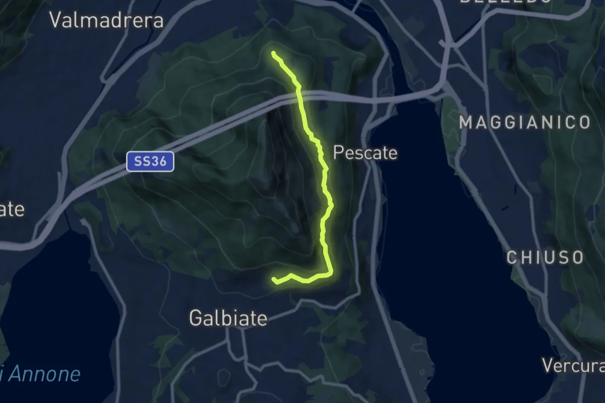
Medium · Trail
Sentiero di mezzo
6.7 km · ↑ 354 m · 2 h 21 min · 6 km away
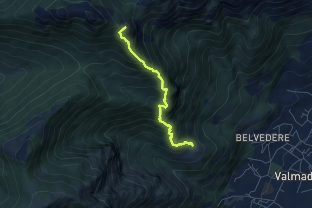
Expert · Summit
San Tomaso – Bocchetta di Luera
4.5 km · ↑ 629 m · 2 h 26 min · 6 km away
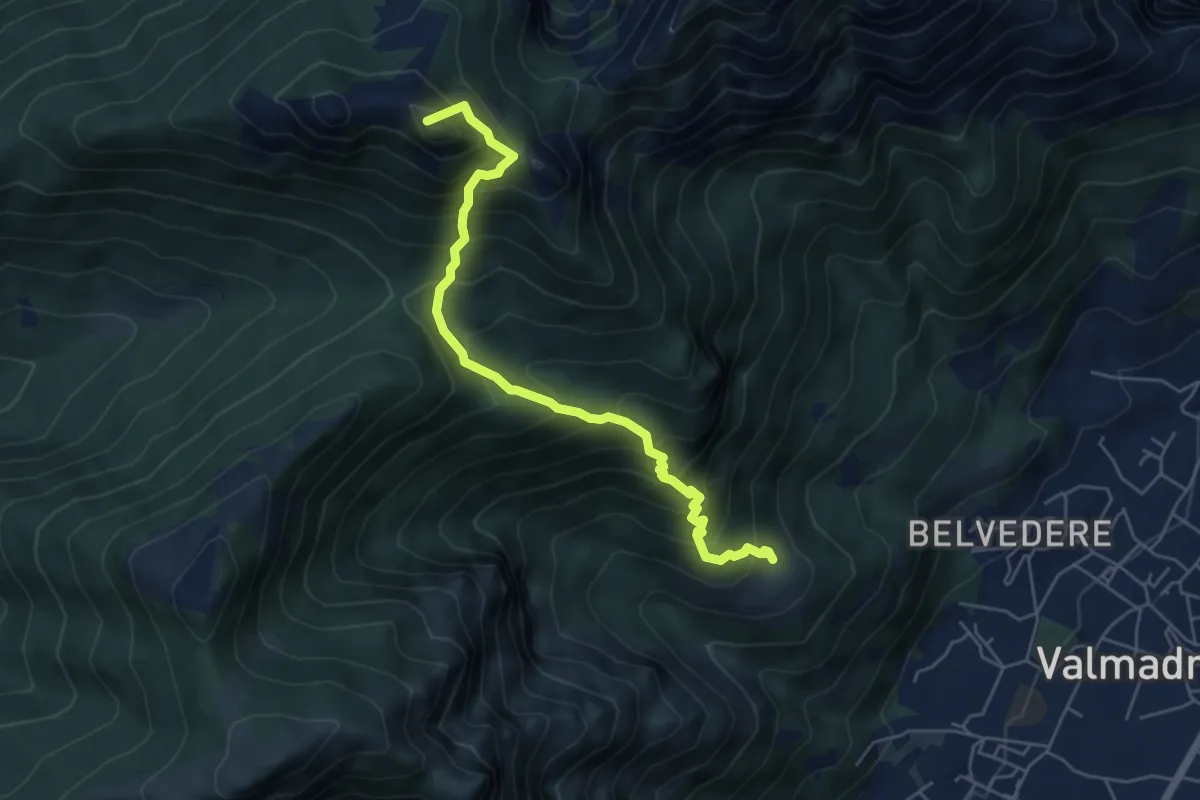
Medium · Summit
San Tomaso – Rifugio S.E.V.
5.6 km · ↑ 734 m · 2 h 55 min · 6 km away
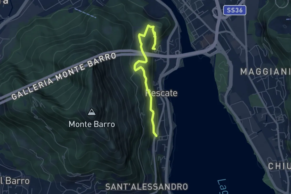
Medium · Trail
Pescalina – Pescate (cimitero)
5.5 km · ↑ 361 m · 2 h 4 min · 7 km away
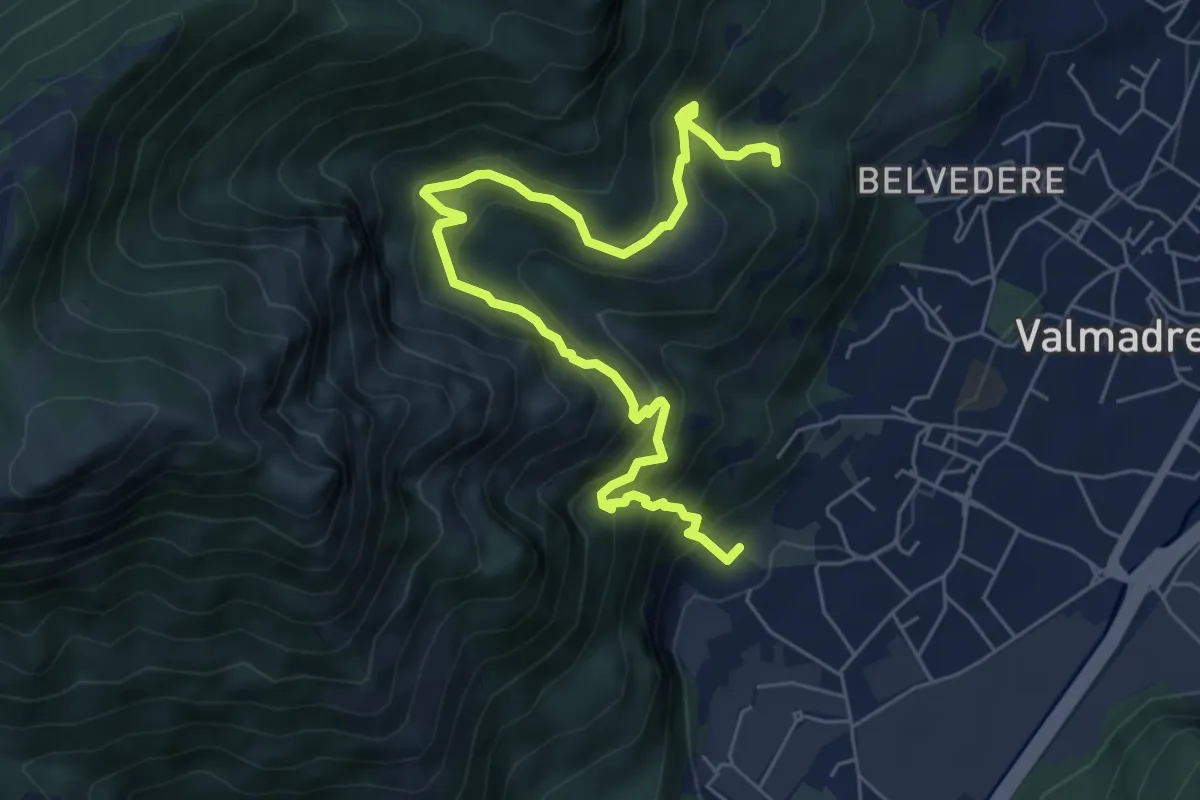
Demanding · Trail
Il percorso dei massi erratici
3.7 km · ↑ 263 m · 1 h 35 min · 7 km away
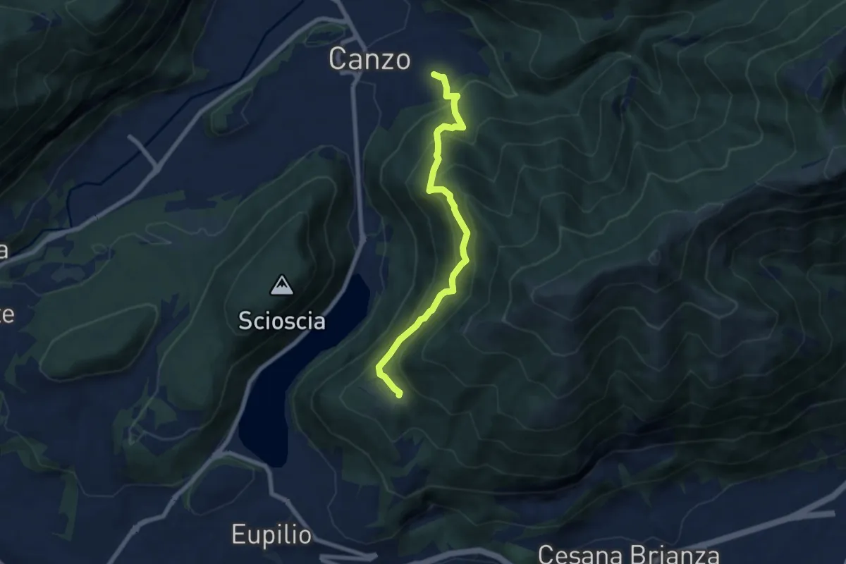
Medium · Trail
Senterun
6.7 km · ↑ 648 m · 2 h 59 min · 7 km away
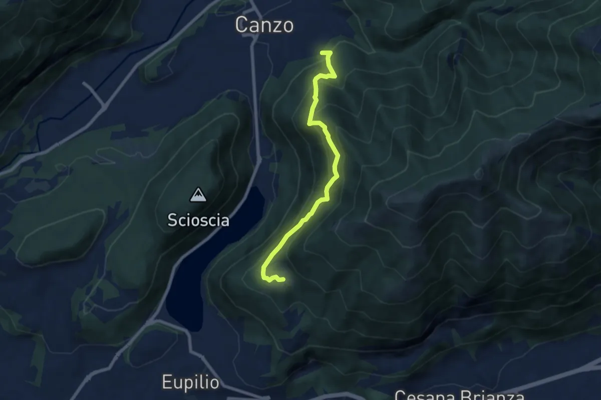
Medium · Trail
Rifugio SEC "Marisa Consigliere" – Alpe di Carella
6.6 km · ↑ 618 m · 2 h 54 min · 7 km away
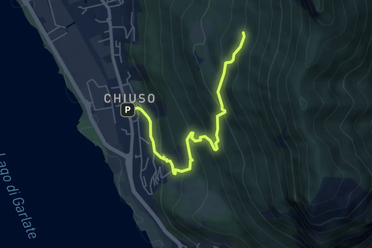
Medium · Cabin
Chiuso – Rifugio Camposecco
4.8 km · ↑ 430 m · 2 h 4 min · 7 km away
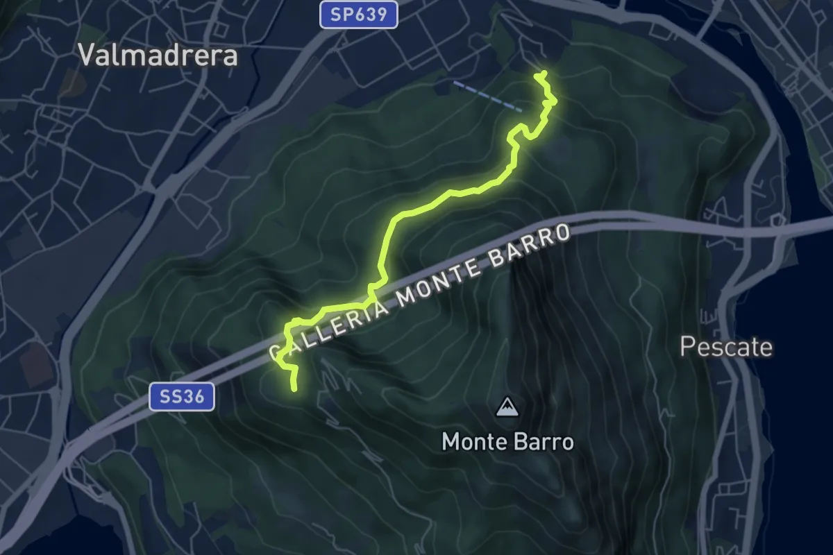
Demanding · Trail
Malgrate – Parco archeologico Monte Barro
5.6 km · ↑ 409 m · 2 h 12 min · 7 km away
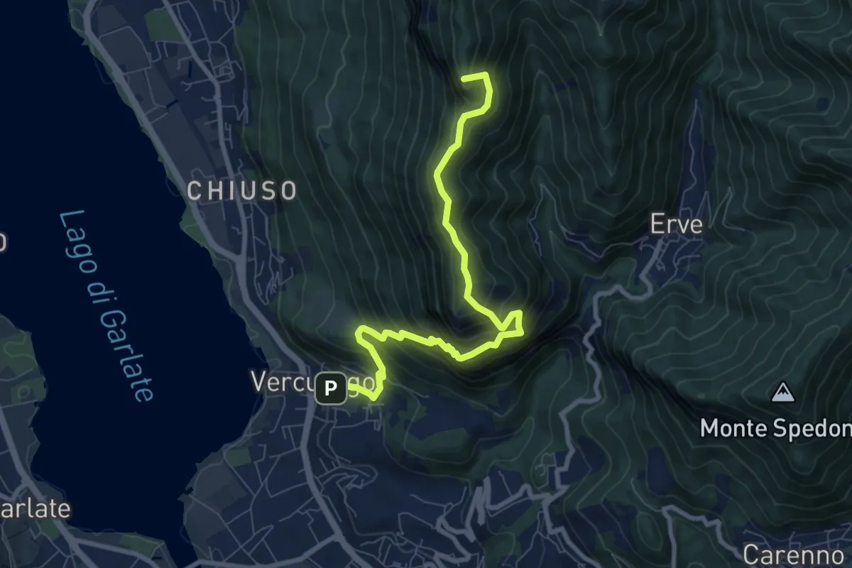
Demanding · Summit
Erve – Somasca (Vercurago)
8.6 km · ↑ 981 m · 4 h 9 min · 7 km away
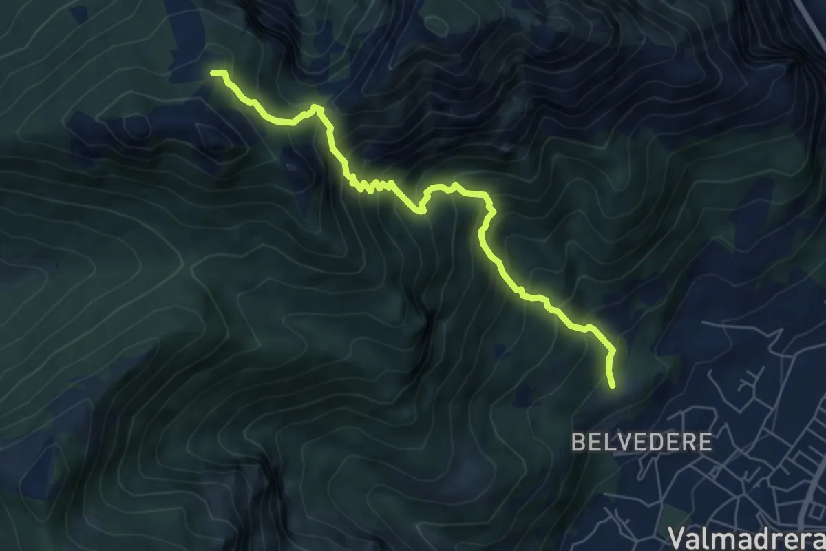
Demanding · Cabin
Cappelletta VARS – Rifugio S.E.V.
6.2 km · ↑ 837 m · 3 h 17 min · 7 km away
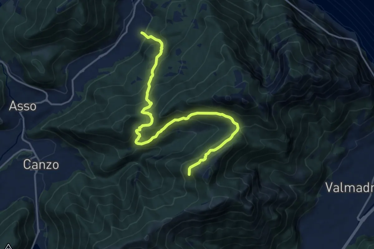
Demanding · Trail
Candalino – Alpe Alto
14.3 km · ↑ 1171 m · 5 h 55 min · 7 km away