Trails near Opicina / Opčine
82 hikes starting within 15 km, nearest first.
Nearest first, page 2 of 2
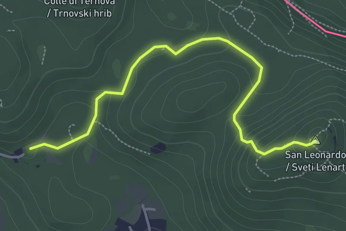
Medium · Summit
Santa Croce / Križ – San Pelagio / Šempolaj
3.5 km · ↑ 126 m · 1 h 6 min · 11 km away
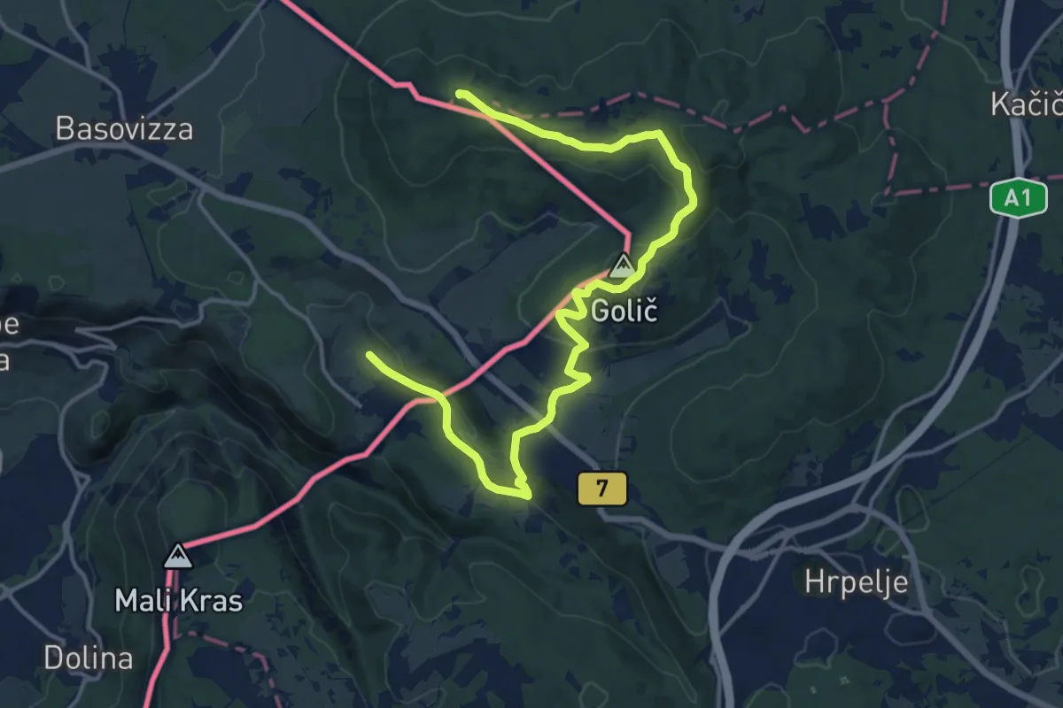
Medium · Summit
Alpe Adria Trail E36
17.4 km · ↑ 382 m · 4 h 56 min · 11 km away
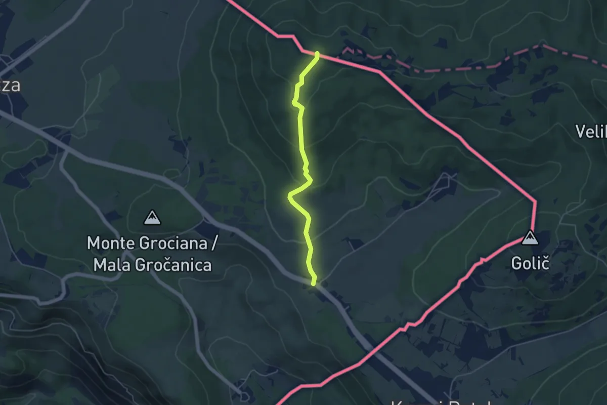
Medium · Summit
Pesek – Bivio sentiero n. 3
4.2 km · ↑ 194 m · 1 h 24 min · 11 km away
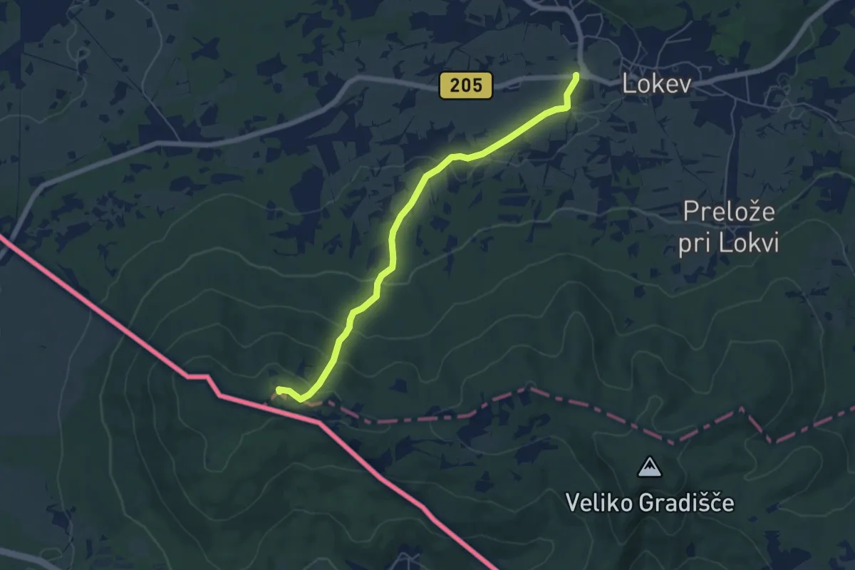
Easy · Summit
Lokev - Kokoš
5.9 km · ↑ 231 m · 1 h 54 min · 11 km away
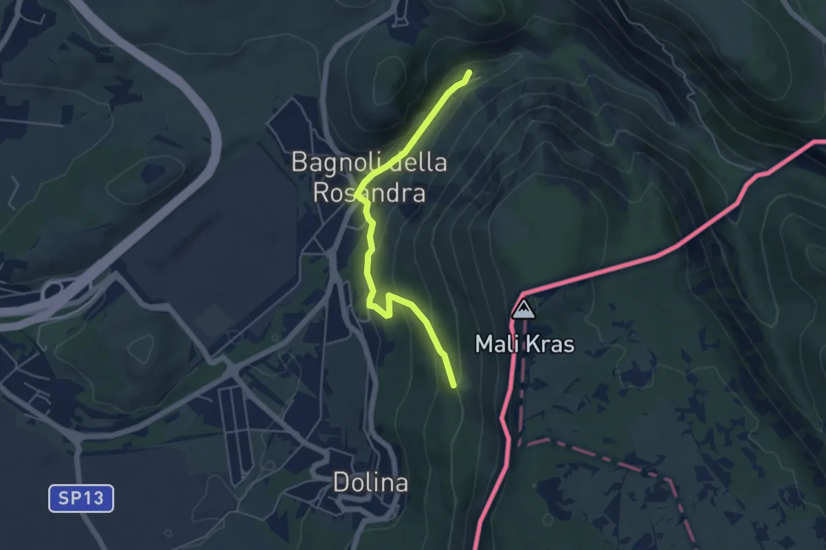
Easy · Cabin
Rifugio Premuda (quota 84 m) – Vedetta di Crogole bivio sentiero CAI 001 (quota 231 m)
4.5 km · ↑ 205 m · 1 h 30 min · 11 km away
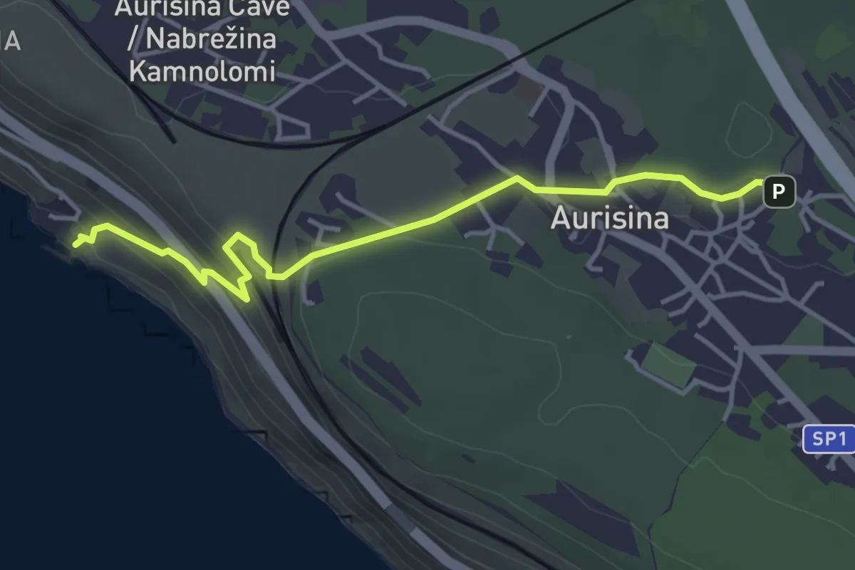
Easy · Trail
Ribiška pot / Sentiero dei pescatori
4.1 km · ↑ 179 m · 1 h 21 min · 11 km away
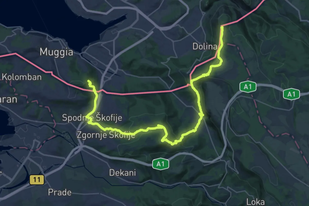
Demanding · Summit
Alpe Adria Trail E37
33.0 km · ↑ 1382 m · 10 h 47 min · 11 km away
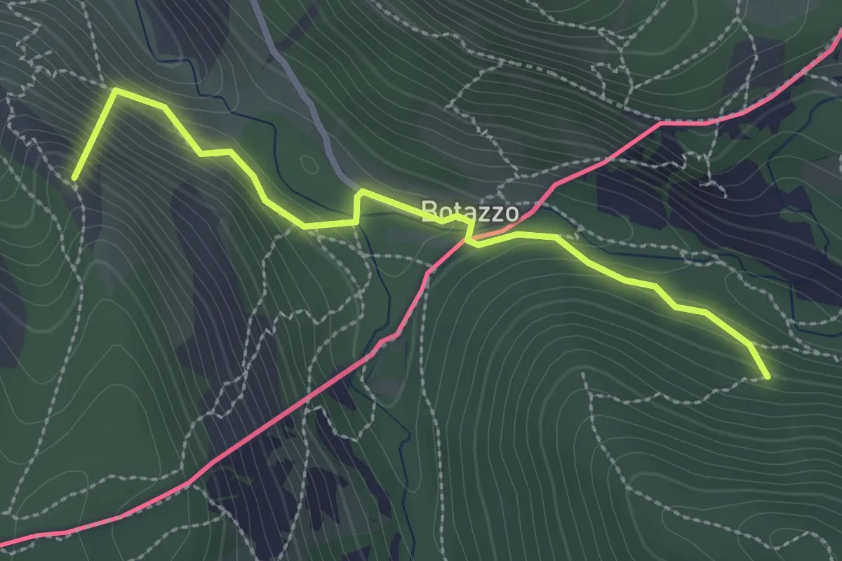
Medium · Summit
Sentiero dell'Amicizia
2.7 km · ↑ 163 m · 59 min · 11 km away
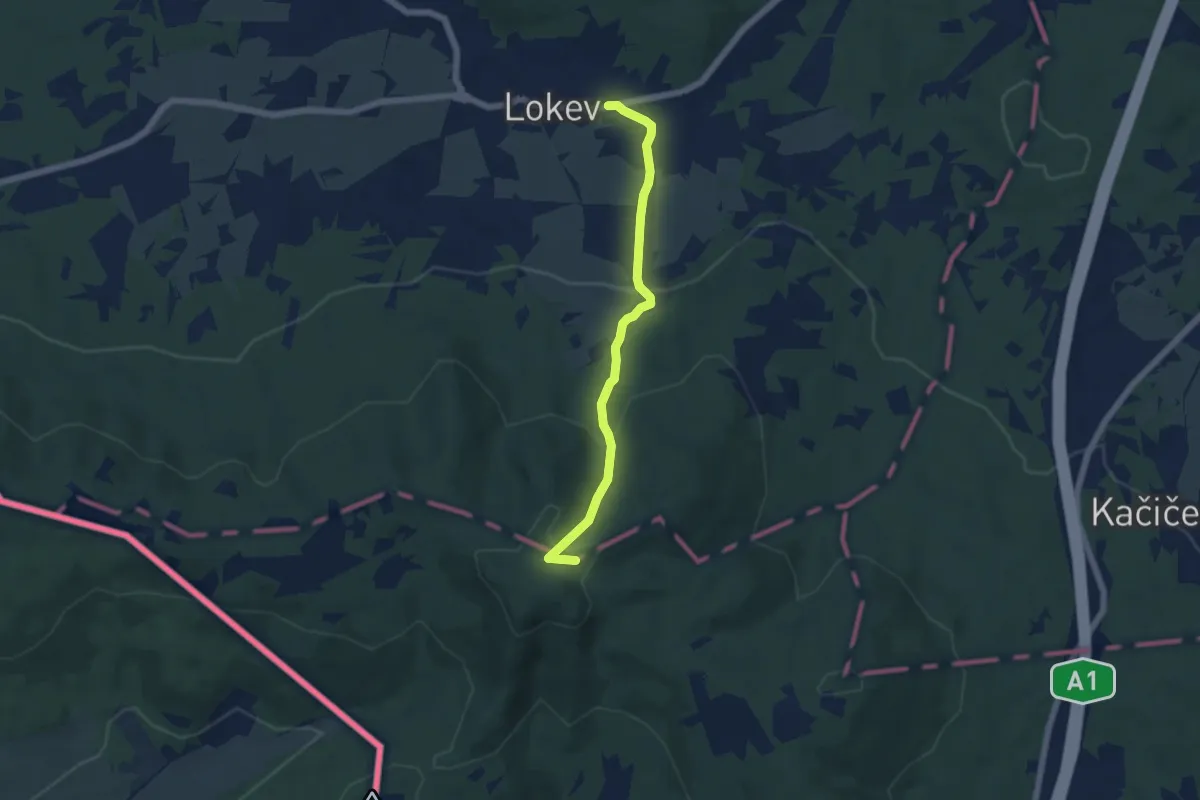
Easy · Summit
Lokev - Prelože - Kokoš
5.3 km · ↑ 258 m · 1 h 49 min · 12 km away
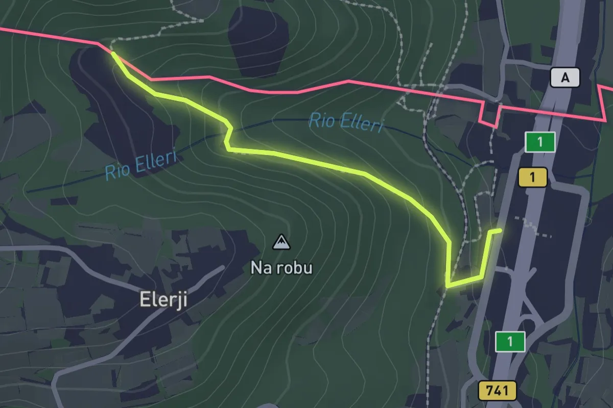
Easy · Trail
Sentiero dei Graničari - Ivan Jug
2.2 km · ↑ 122 m · 47 min · 12 km away
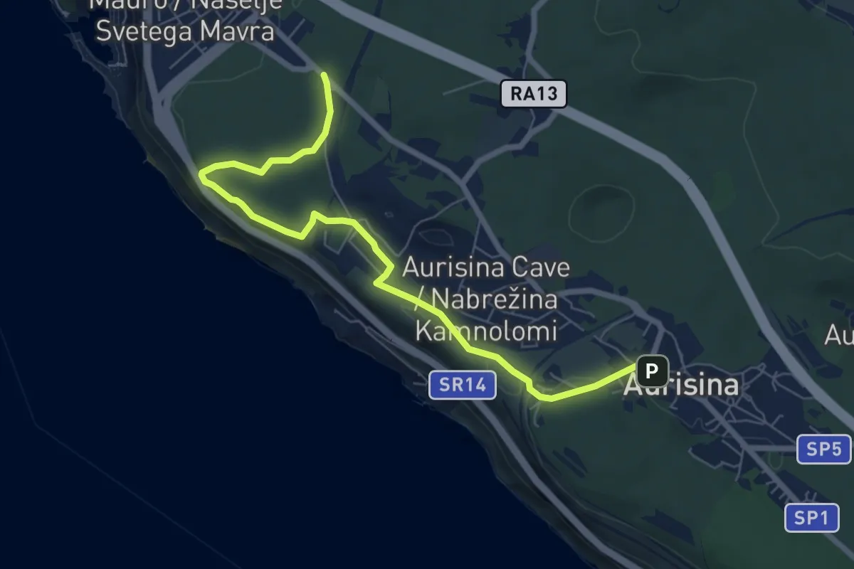
Easy · Trail
Sentiero Tiziana Weiss
7.4 km · ↑ 103 m · 1 h 58 min · 12 km away
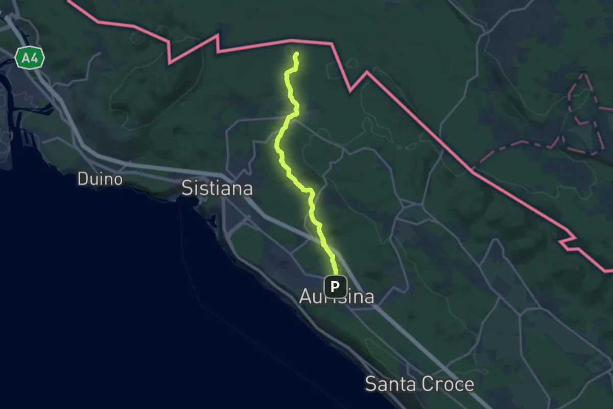
Medium · Trail
Aurisina / Nabrežina (quota 140 m) – Bivio sentiero n. 003 (quota 189 m)
12.4 km · ↑ 178 m · 3 h 18 min · 12 km away
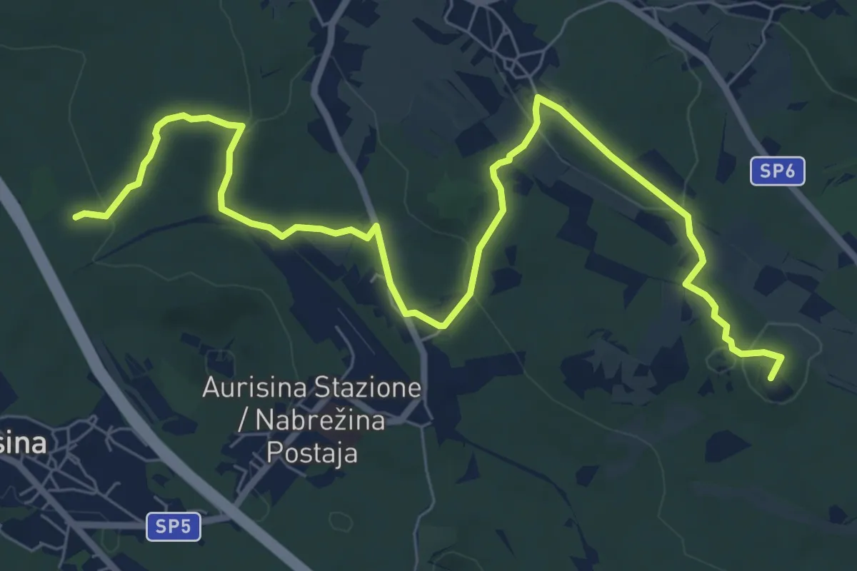
Medium · Summit
Samatorza / Samatorca - bivio sentiero n. 10 – G. Pocala - bivio sentiero n. 32
9.4 km · ↑ 210 m · 2 h 41 min · 12 km away
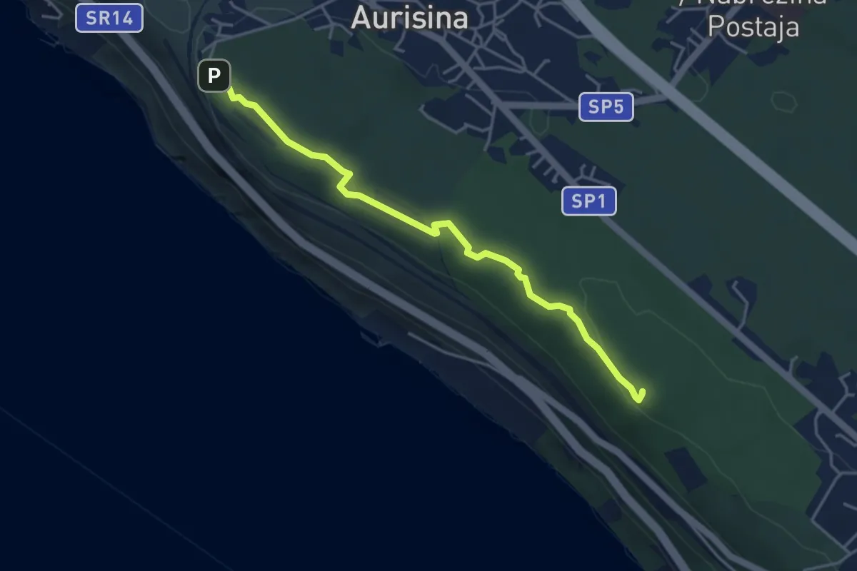
Easy · Summit
Sentiero della salvia
4.1 km · ↑ 87 m · 1 h 10 min · 12 km away
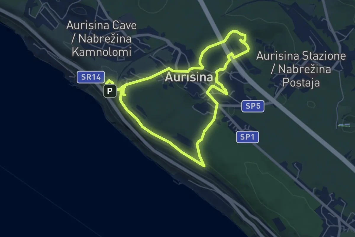
Easy · Summit
Učna pot Nabrežina / Percorso didattico Aurisina
5.5 km · ↑ 128 m · 1 h 38 min · 12 km away
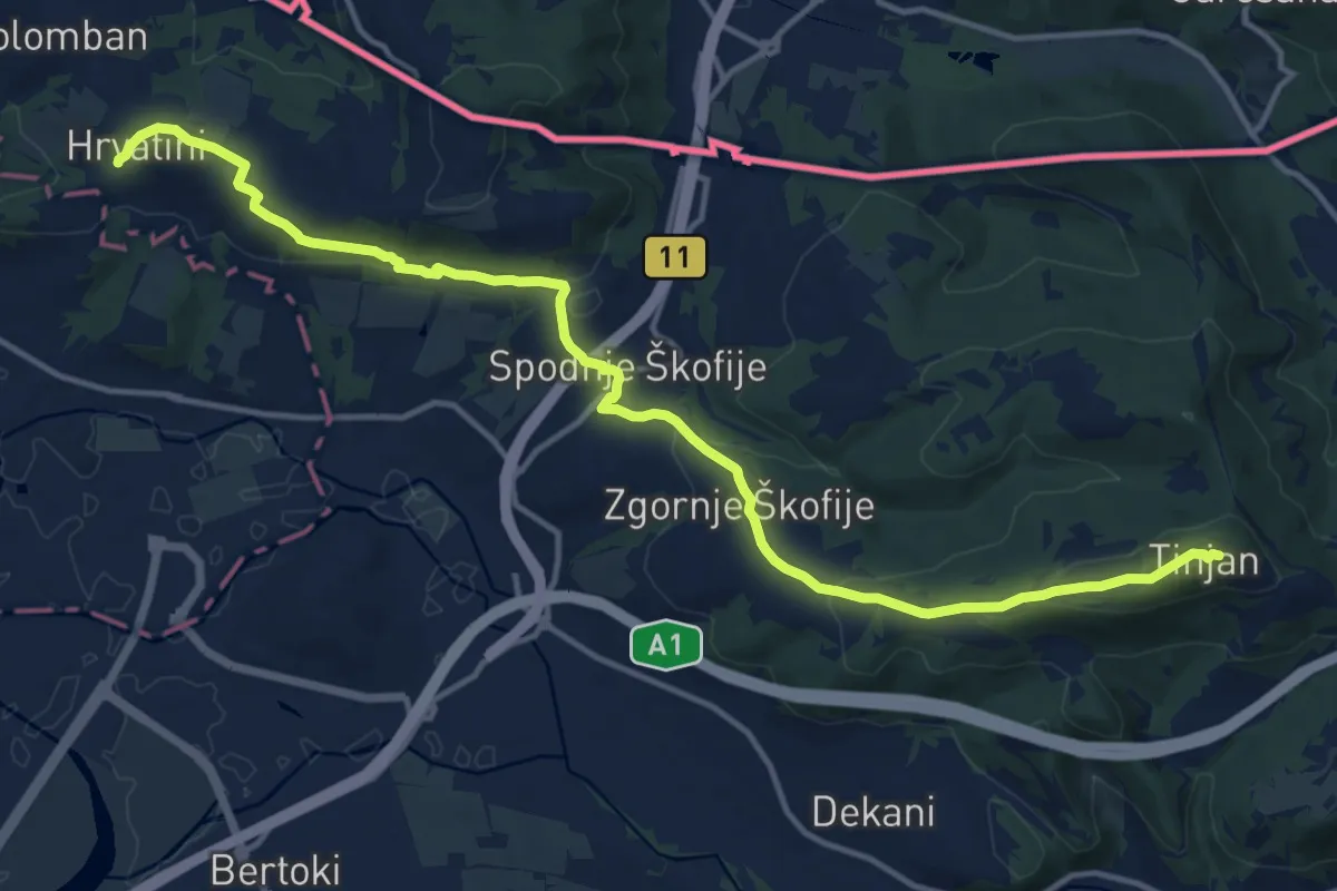
Medium · Summit
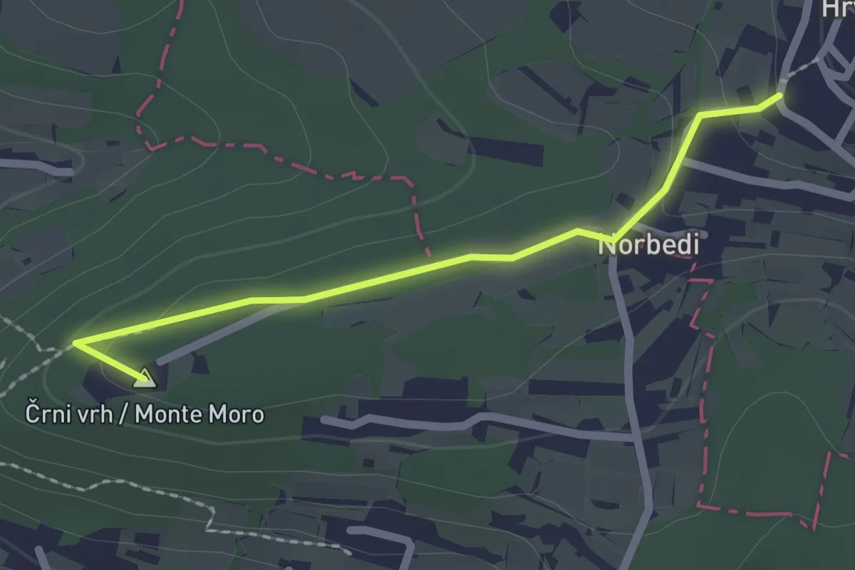
pohodniška pot Tinjan - Škofije - Hrvatini
16.5 km · ↑ 421 m · 4 h 49 min · 12 km away
Easy · Summit
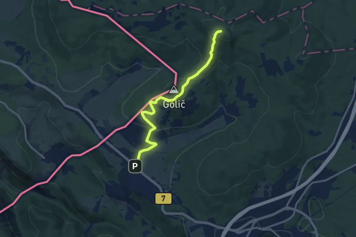
pohodniška pot Hrvatini - Ankaran
2.0 km · ↑ 69 m · 37 min · 12 km away
Easy · Summit
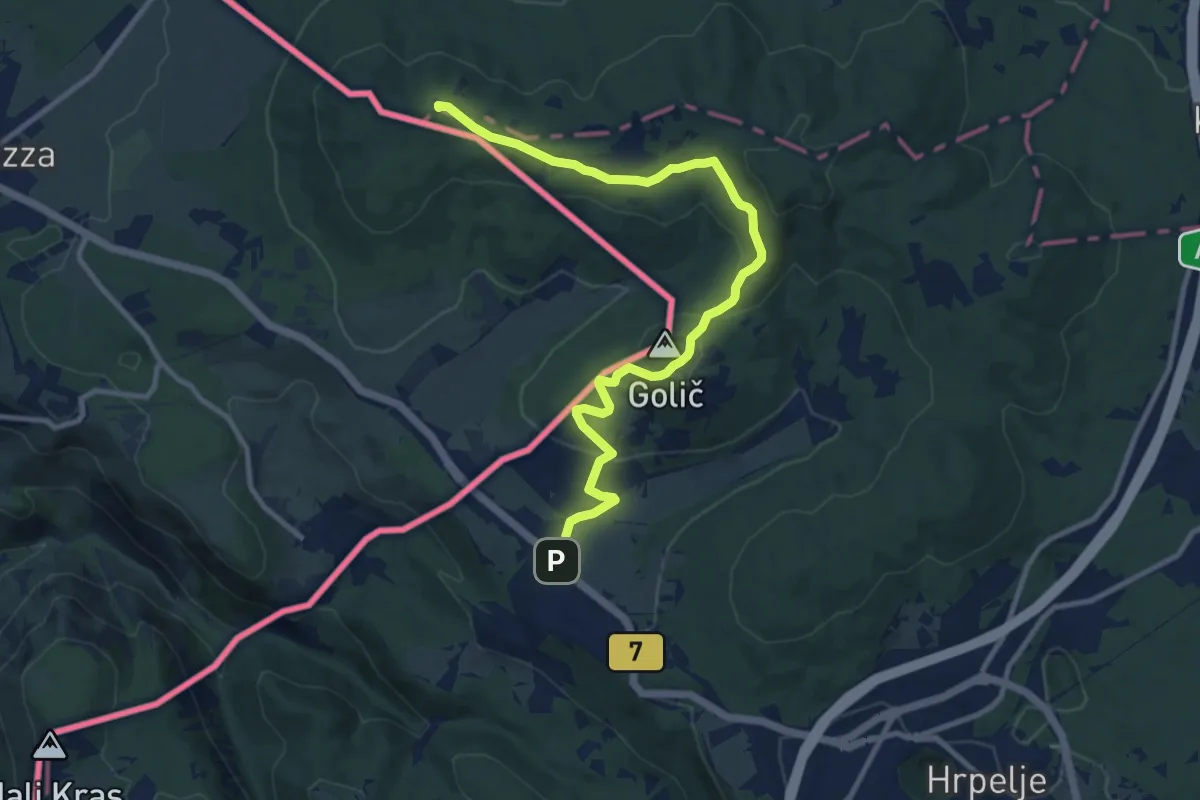
Krvavi Potok - Veliko Gradišče
7.7 km · ↑ 285 m · 2 h 26 min · 12 km away
Medium · Summit
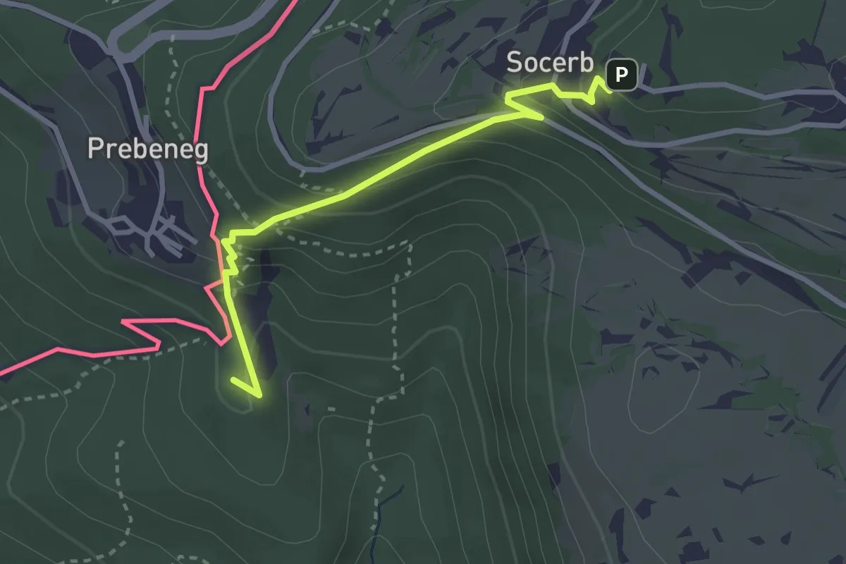
Krvavi Potok - Kokoš
11.7 km · ↑ 247 m · 3 h 17 min · 12 km away
Medium · Summit
Slovenska planinska pot
2.9 km · ↑ 247 m · 1 h 13 min · 12 km away
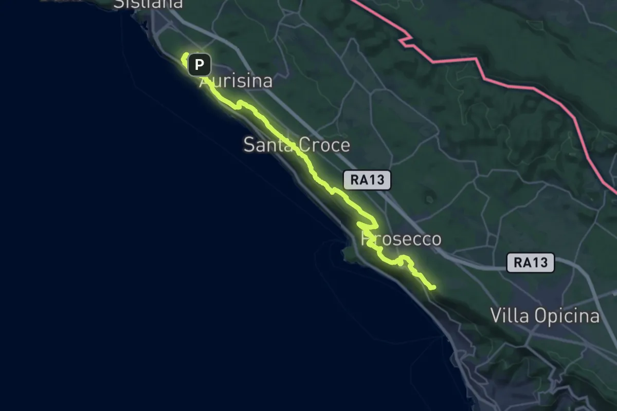
Demanding · Summit
Aurisina - Opicina
29.3 km · ↑ 763 m · 8 h 34 min · 13 km away
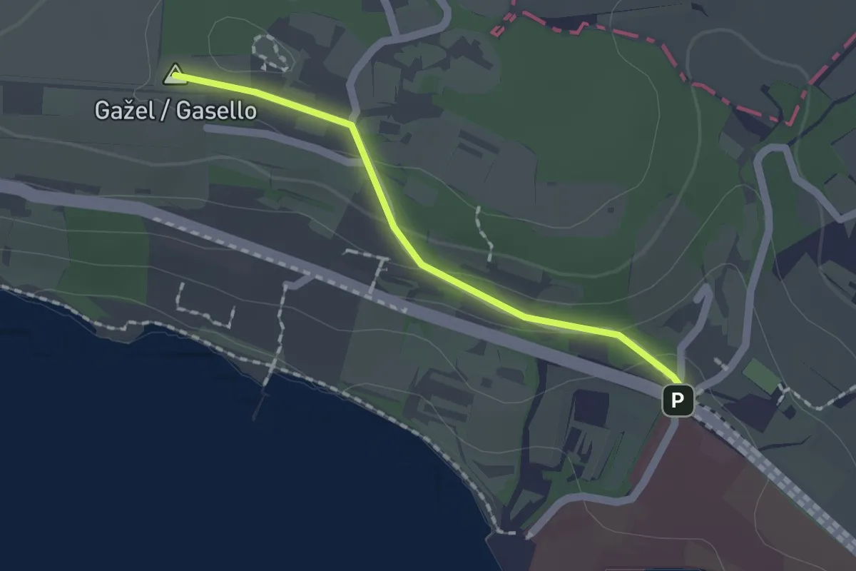
Easy · Summit
Debeli Rtič – Valdoltra
1.5 km · ↑ 43 m · 27 min · 13 km away
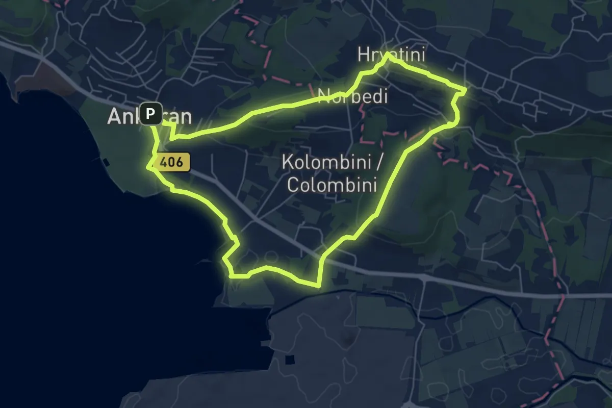
Easy · Summit
Beblerjeva pot
6.2 km · ↑ 161 m · 1 h 54 min · 13 km away
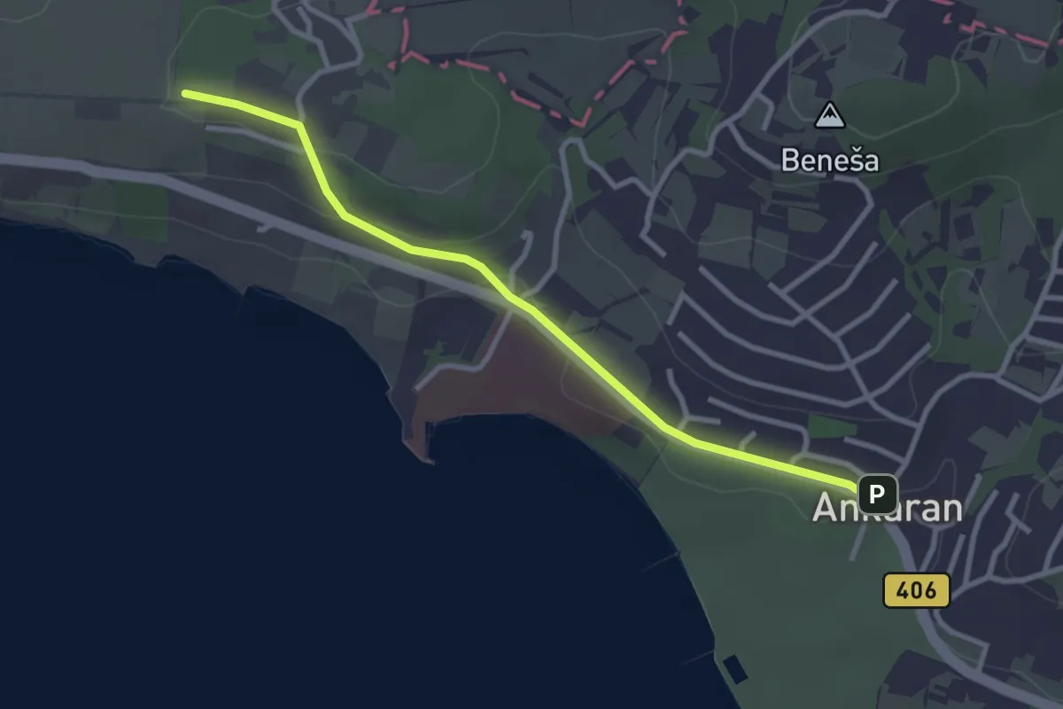
Easy · Summit
pohodniška pot Ankaran - Debeli rtič
3.1 km · ↑ 44 m · 49 min · 13 km away
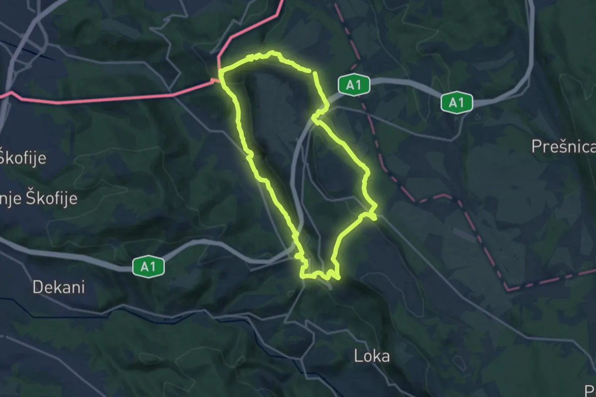
Medium · Summit
P3
13.8 km · ↑ 546 m · 4 h 38 min · 13 km away
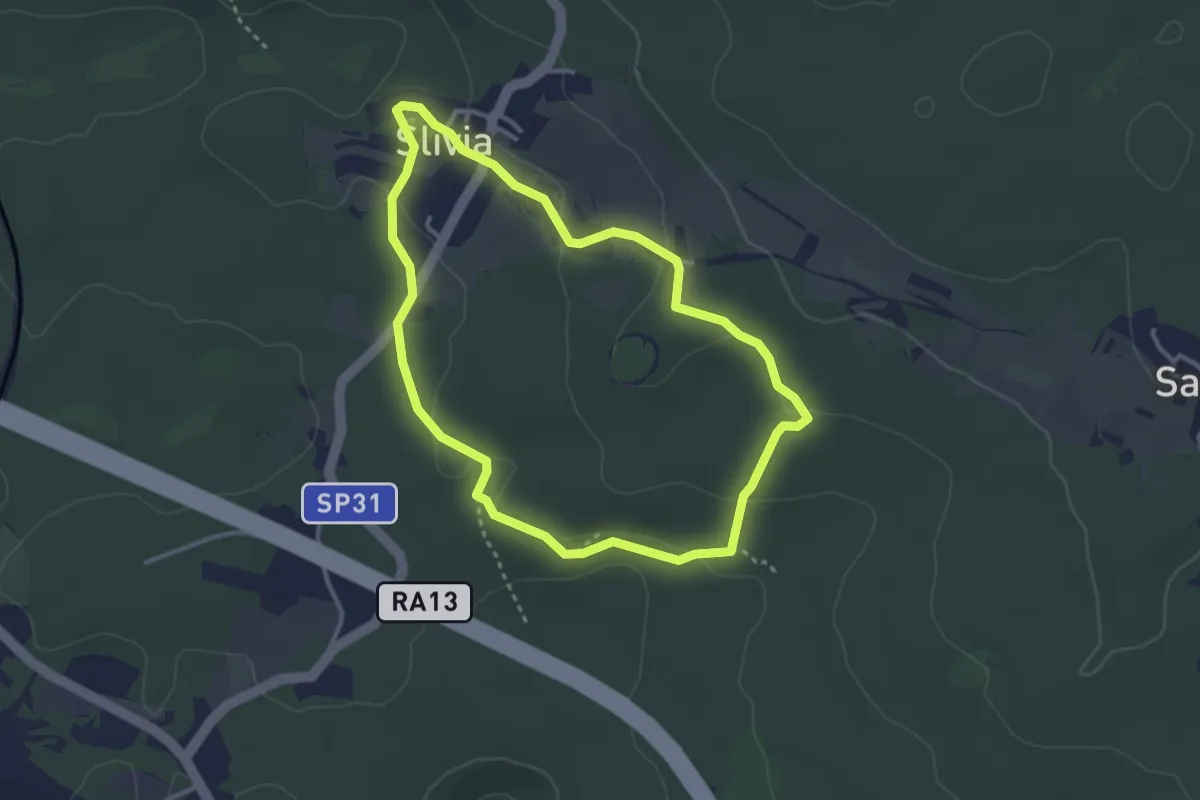
Easy · Trail
Pešpot Slivno / Sentiero Slivia
3.1 km · ↑ 52 m · 53 min · 13 km away
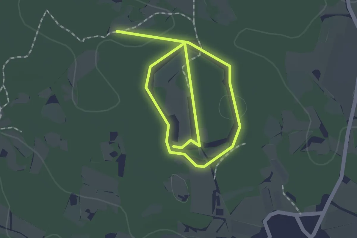
Easy · Trail
Pot kamna
1.3 km · ↑ 4 m · 20 min · 13 km away
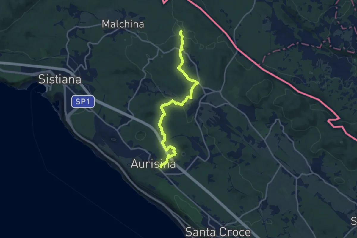
Medium · Trail
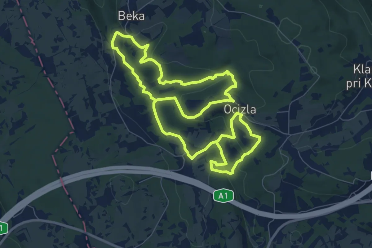
Aurisina (quota 150 m) – Bivio sentiero n. 003 (quota 198 m)
11.9 km · ↑ 192 m · 3 h 13 min · 14 km away
Medium · Trail
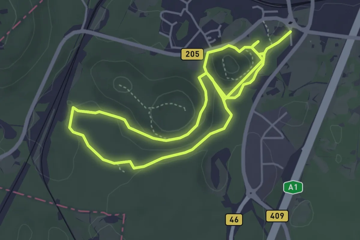
Tigrovska pot
14.9 km · ↑ 409 m · 4 h 24 min · 14 km away
Medium · Trail
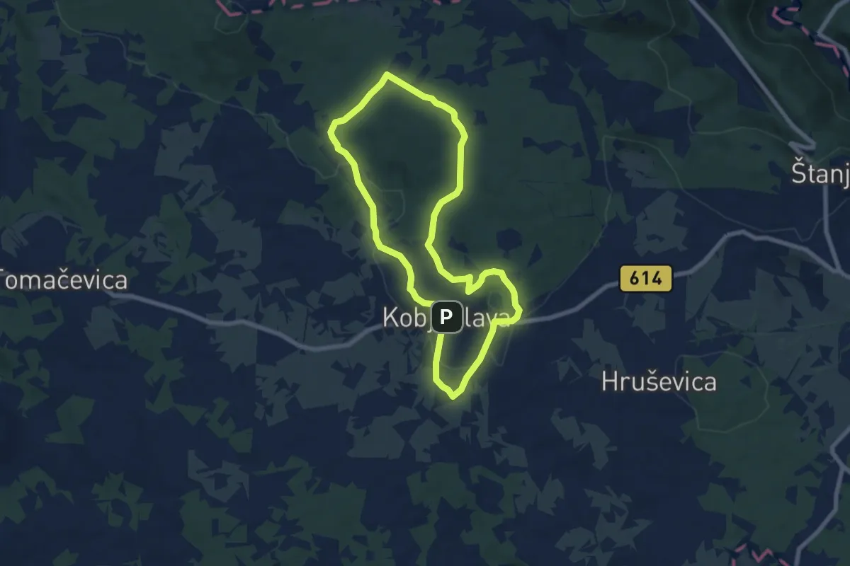
Krasoslovna naravoslovna učna pot Divaški Kras
8.2 km · ↑ 274 m · 2 h 31 min · 14 km away
Easy · Trail
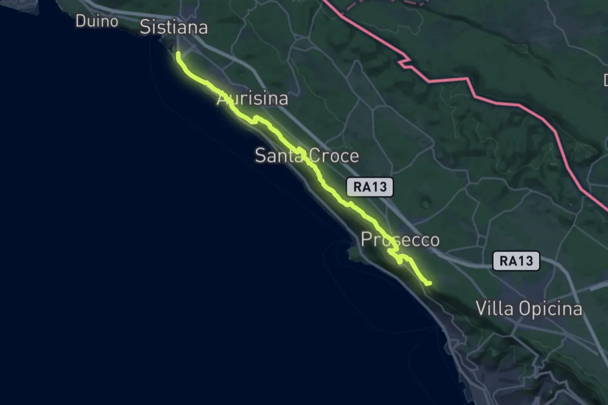
Pot devetih kalov
6.4 km · ↑ 99 m · 1 h 49 min · 14 km away
Demanding · Summit
Via Alpina Yellow B3
26.7 km · ↑ 520 m · 7 h 26 min · 14 km away
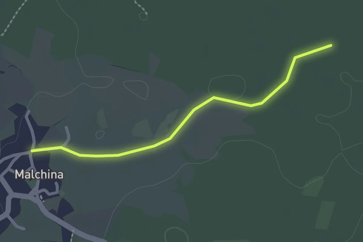
Easy · Trail
Malchina Mavhinje (quota 181 m) – Bivio sentiero n. 003 (quota 182 m)
2.1 km · ↑ 0 m · 29 min · 14 km away
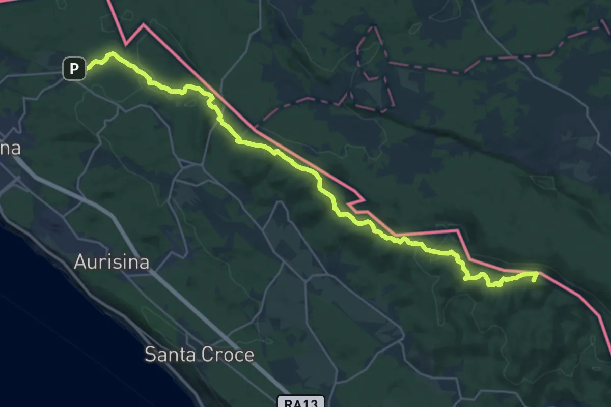
Demanding · Summit
Malchina – Repen
26.2 km · ↑ 589 m · 7 h 27 min · 15 km away