Trails near Orbetello
35 hikes starting within 15 km, nearest first.
Nearest first
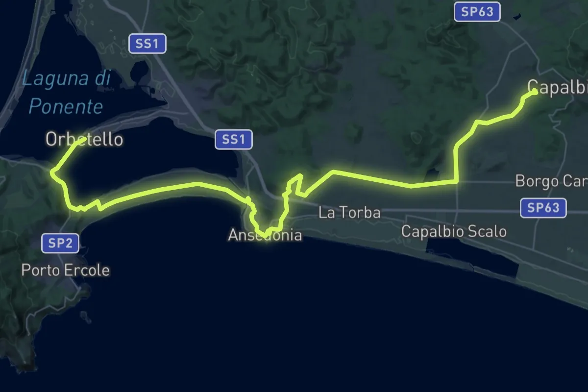
Demanding · Summit
Italia Coast to Coast tappa 18
54.1 km · ↑ 445 m · 13 h 44 min · under 1 km away
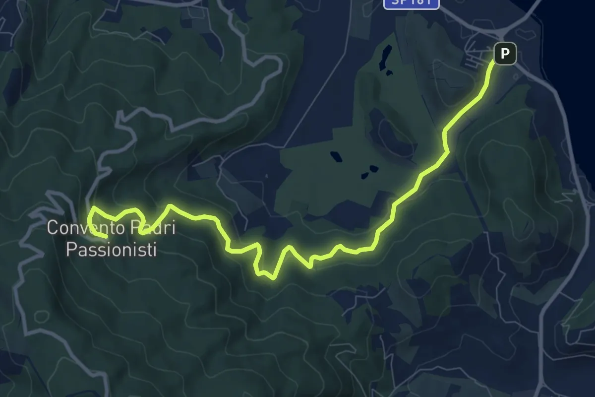
Medium · Trail
Terrarossa - Convento dei Passionisti
10.7 km · ↑ 420 m · 3 h 27 min · 2 km away
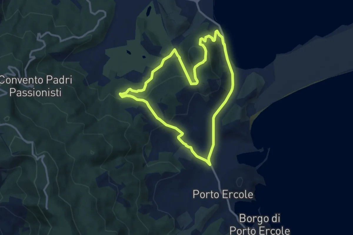
Medium · Summit
Anello delle miniere
8.8 km · ↑ 294 m · 2 h 50 min · 3 km away
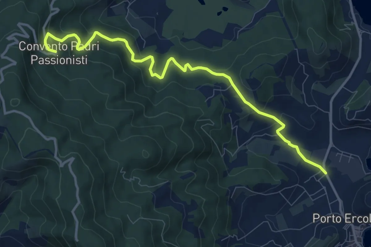
Medium · Trail
Cimitero di Porto Ercole - Convento dei Passionisti
10.6 km · ↑ 511 m · 3 h 37 min · 4 km away
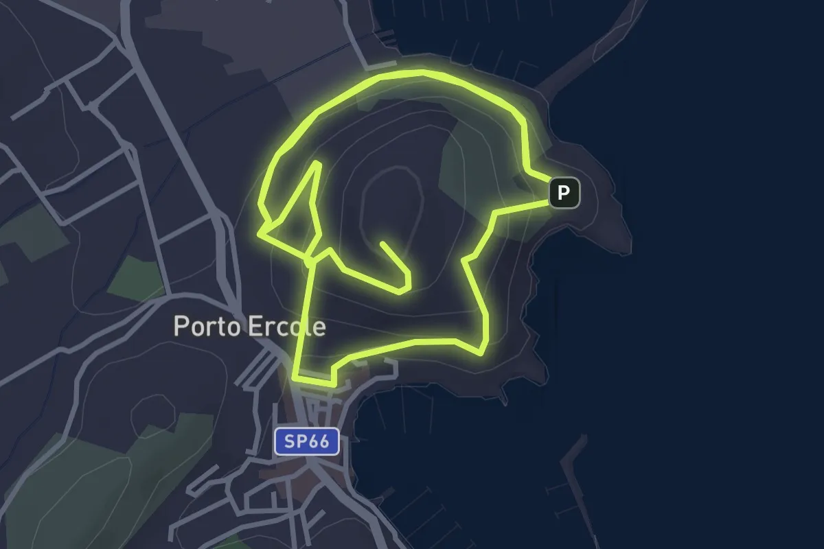
Medium · Summit
Monumento a Caravaggio - Santa Caterina
7.9 km · ↑ 370 m · 2 h 41 min · 4 km away
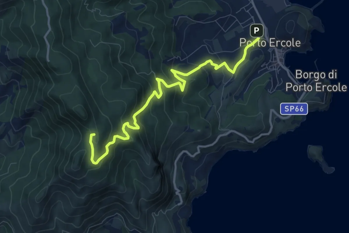
Medium · Summit
Piazza Vespucci - Telegrafo
11.0 km · ↑ 576 m · 3 h 51 min · 5 km away
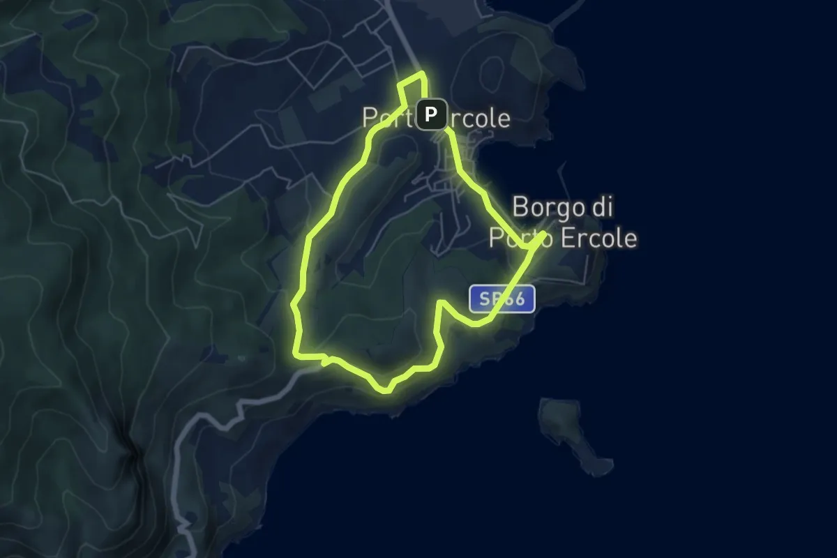
Easy · Summit
Anello di Porto Ercole
5.1 km · ↑ 163 m · 1 h 37 min · 5 km away
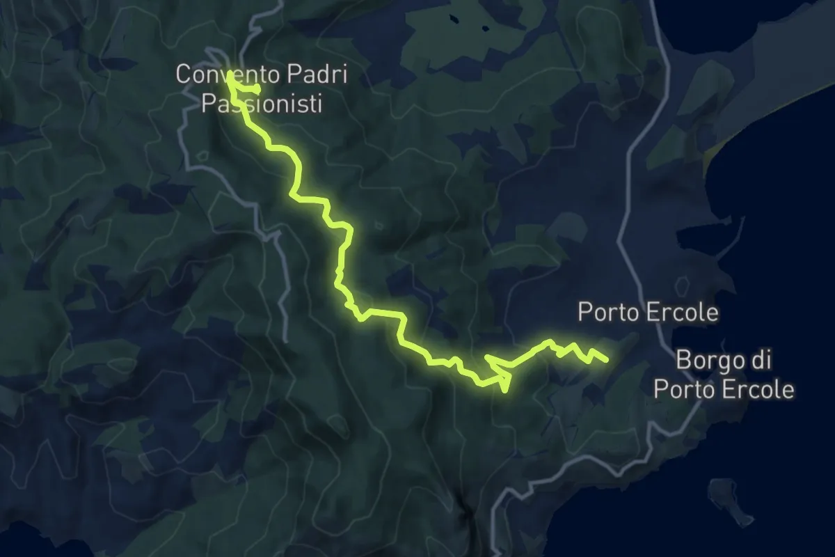
Medium · Summit
Piazza Vespucci - Convento dei Passionisti
14.1 km · ↑ 697 m · 4 h 51 min · 5 km away
Medium · Trail
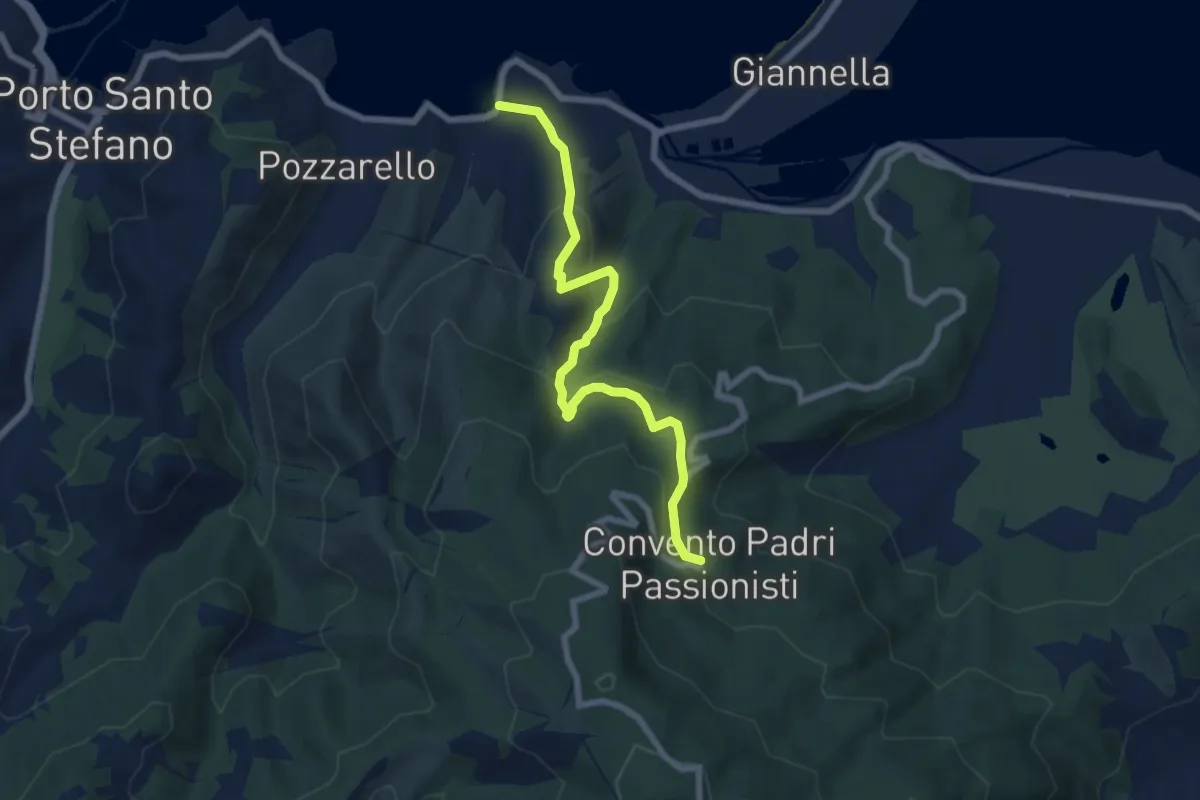
Soda - Convento dei Passionisti
7.7 km · ↑ 526 m · 2 h 57 min · 5 km away
Demanding · Summit
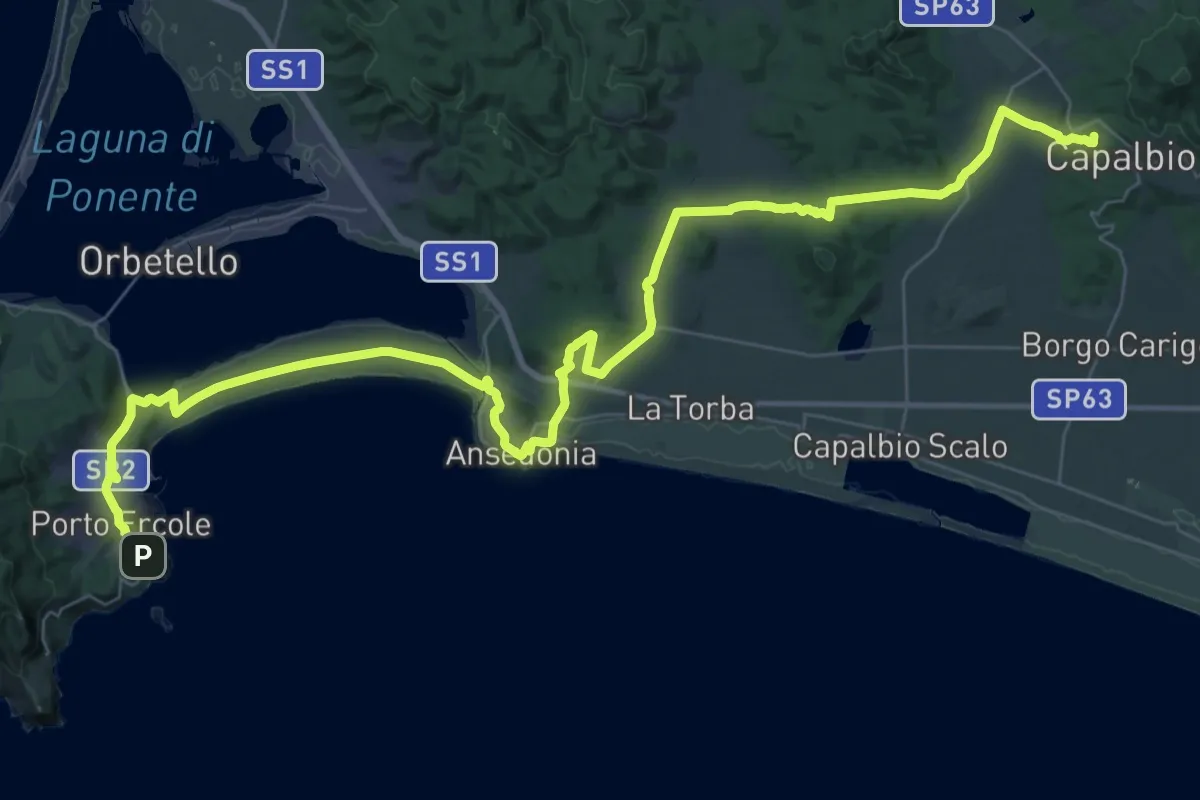
Vetta Mare Tappa 7
57.8 km · ↑ 843 m · 15 h 29 min · 5 km away
Medium · Summit
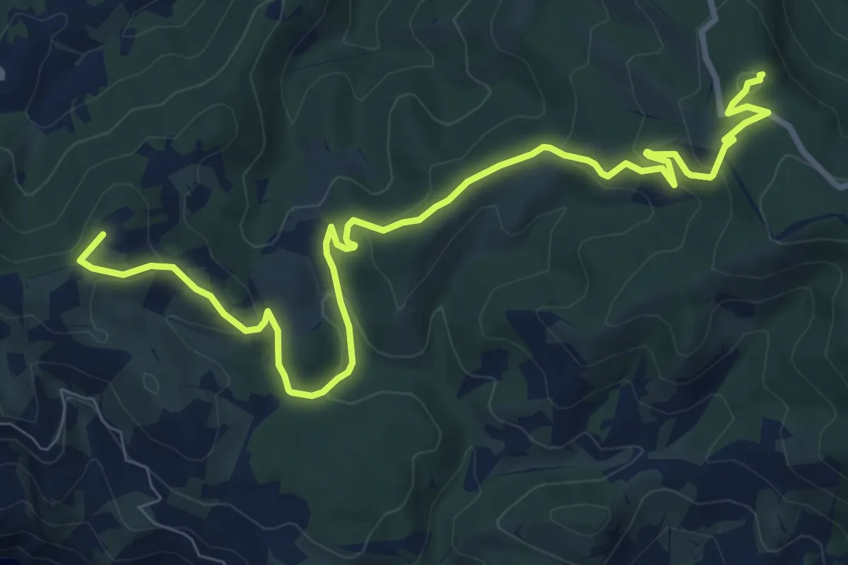
Poggio Fornacelle - Croce del Predicatore
11.3 km · ↑ 413 m · 3 h 34 min · 6 km away
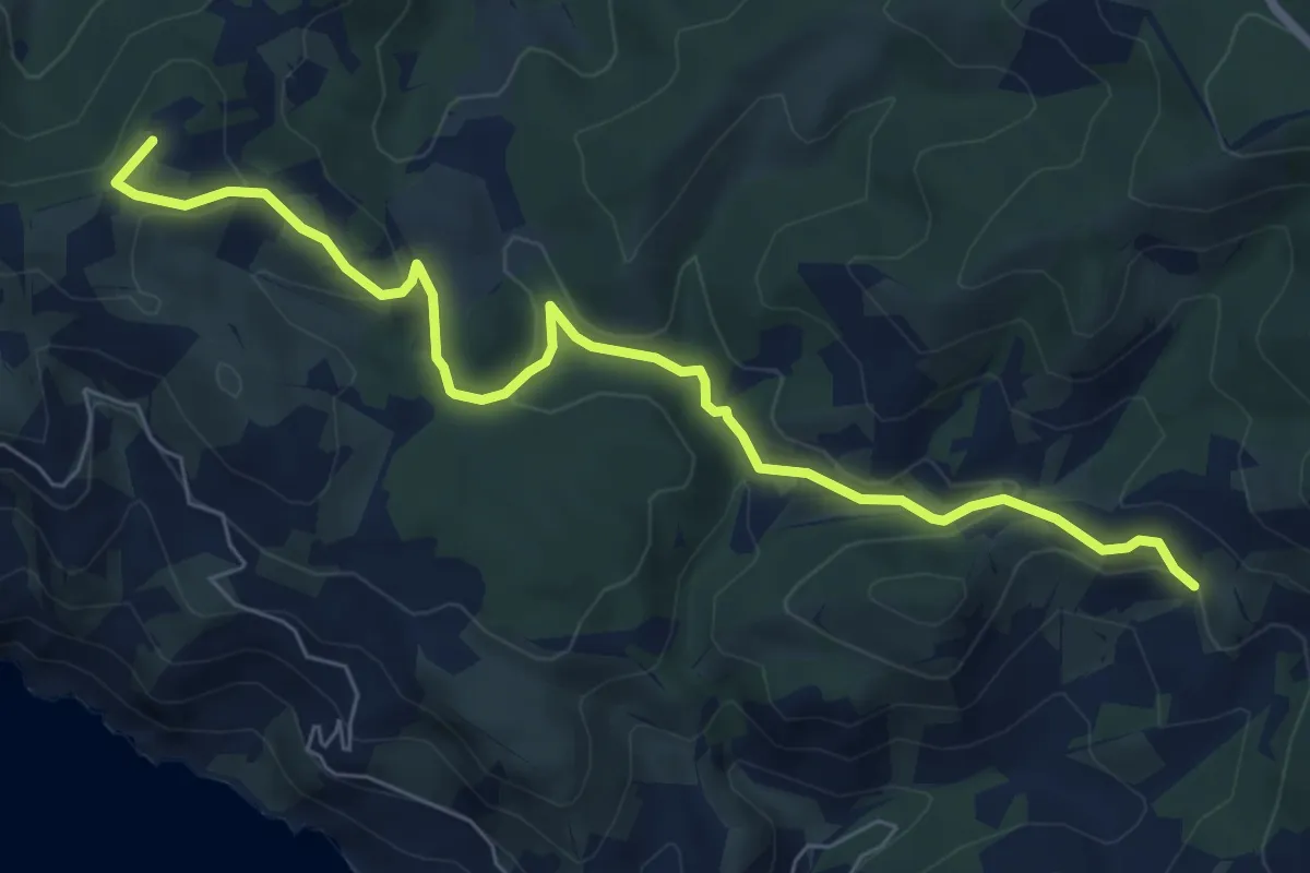
Medium · Summit
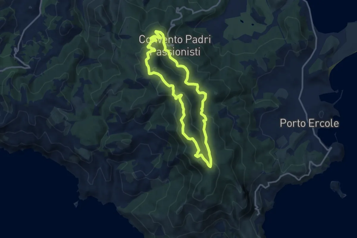
Anello dei Crinali
10.1 km · ↑ 371 m · 3 h 20 min · 6 km away
Easy · Summit
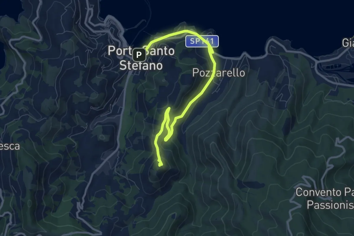
Poggio Fornacelle - Fonte del Romito
8.0 km · ↑ 290 m · 2 h 31 min · 7 km away
Medium · Trail
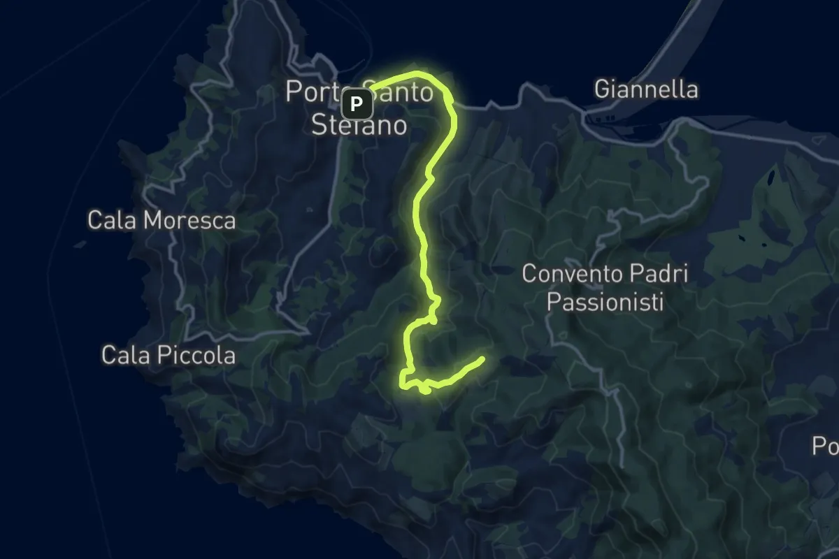
Porto Santo Stefano - Argentiera
9.9 km · ↑ 367 m · 3 h 8 min · 7 km away
Medium · Summit
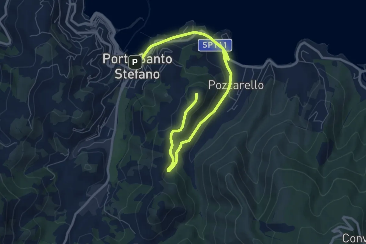
Porto Santo Stefano - Olmo - Croce del Predicatore
14.6 km · ↑ 423 m · 4 h 22 min · 7 km away
Medium · Summit
Porto Santo Stefano - Forte del Pozzarello
9.1 km · ↑ 277 m · 2 h 44 min · 7 km away
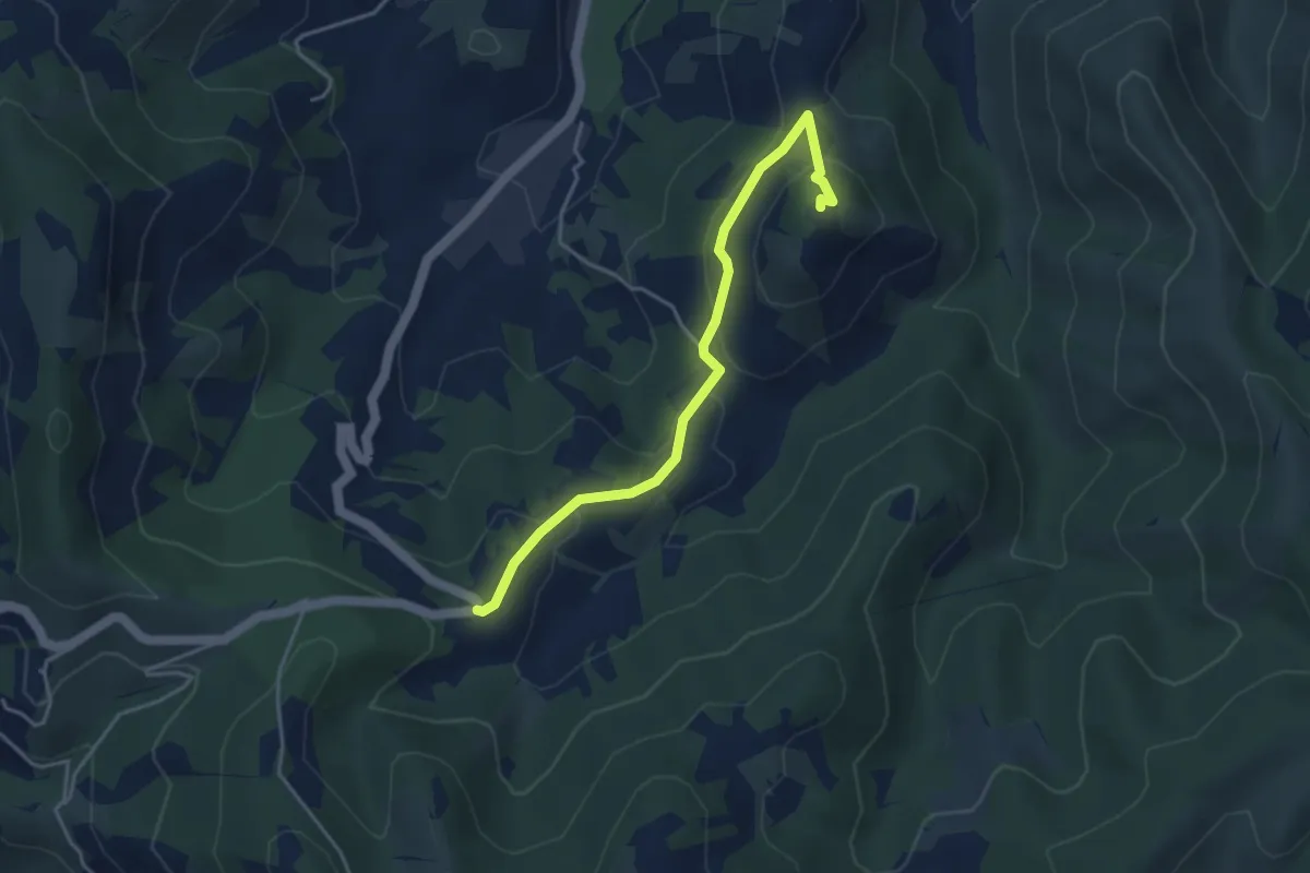
Easy · Trail
Cannatelli - Torre Dell'Argentiera
4.2 km · ↑ 197 m · 1 h 26 min · 7 km away
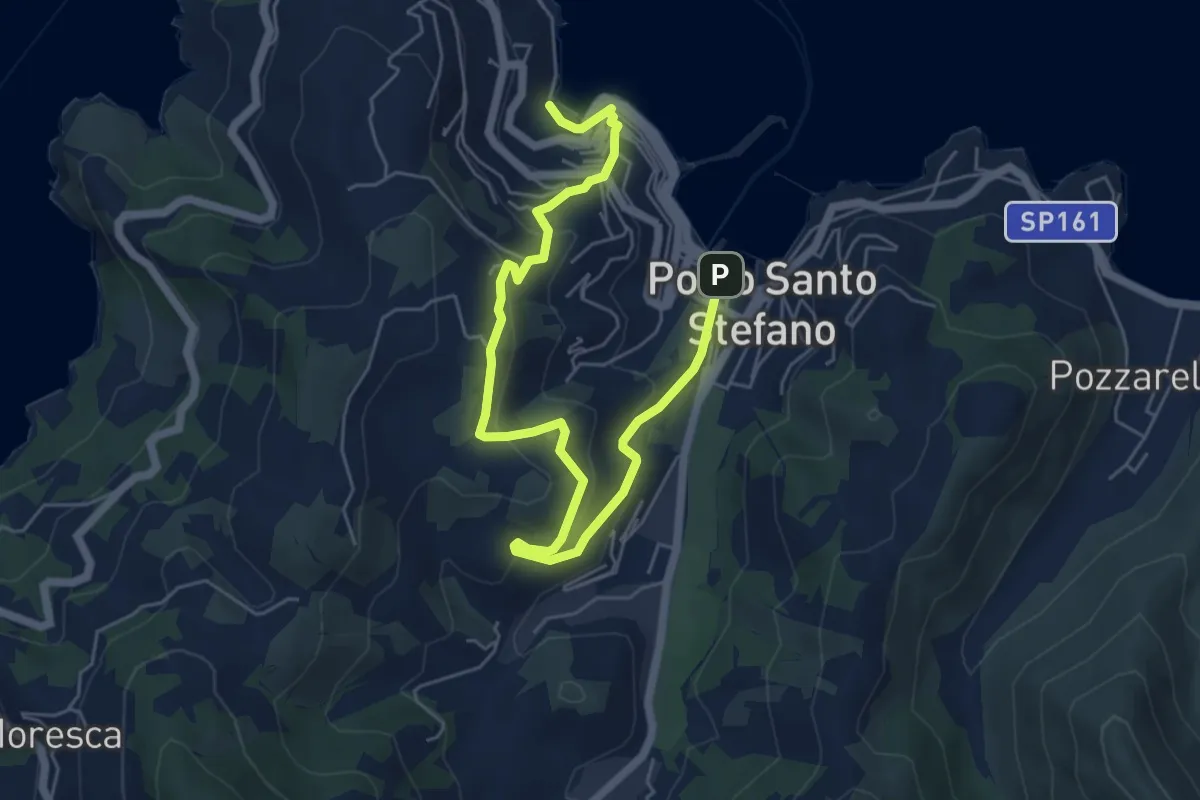
Medium · Trail
Camminata dei Rioni
7.7 km · ↑ 417 m · 2 h 44 min · 7 km away
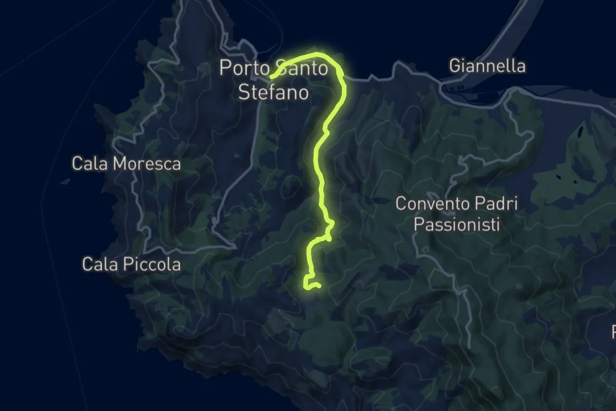
Medium · Trail
Porto Santo Stefano - Olmo
12.4 km · ↑ 337 m · 3 h 40 min · 7 km away
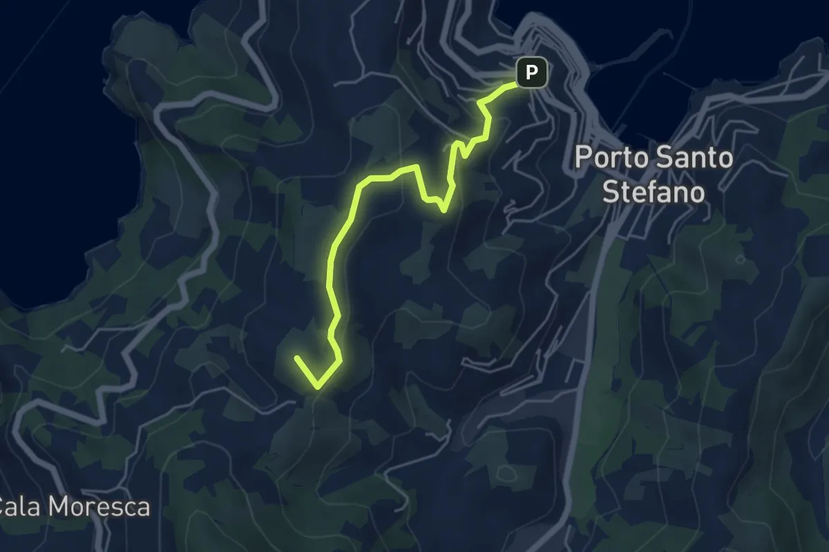
Easy · Summit
Fortezza Spagnola - Ronconali
5.0 km · ↑ 228 m · 1 h 40 min · 8 km away
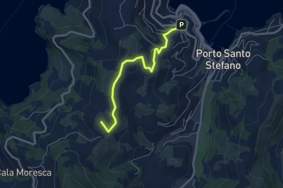
Easy · Summit
Fortezza Spagnola - Cala del Gesso
5.0 km · ↑ 228 m · 1 h 40 min · 8 km away
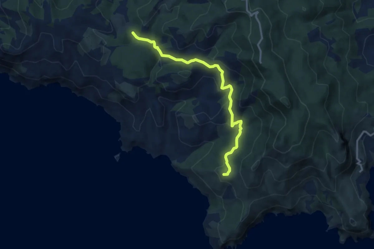
Medium · Summit
Trivio dell'Olmo - Punta Ciana
9.6 km · ↑ 420 m · 3 h 11 min · 8 km away
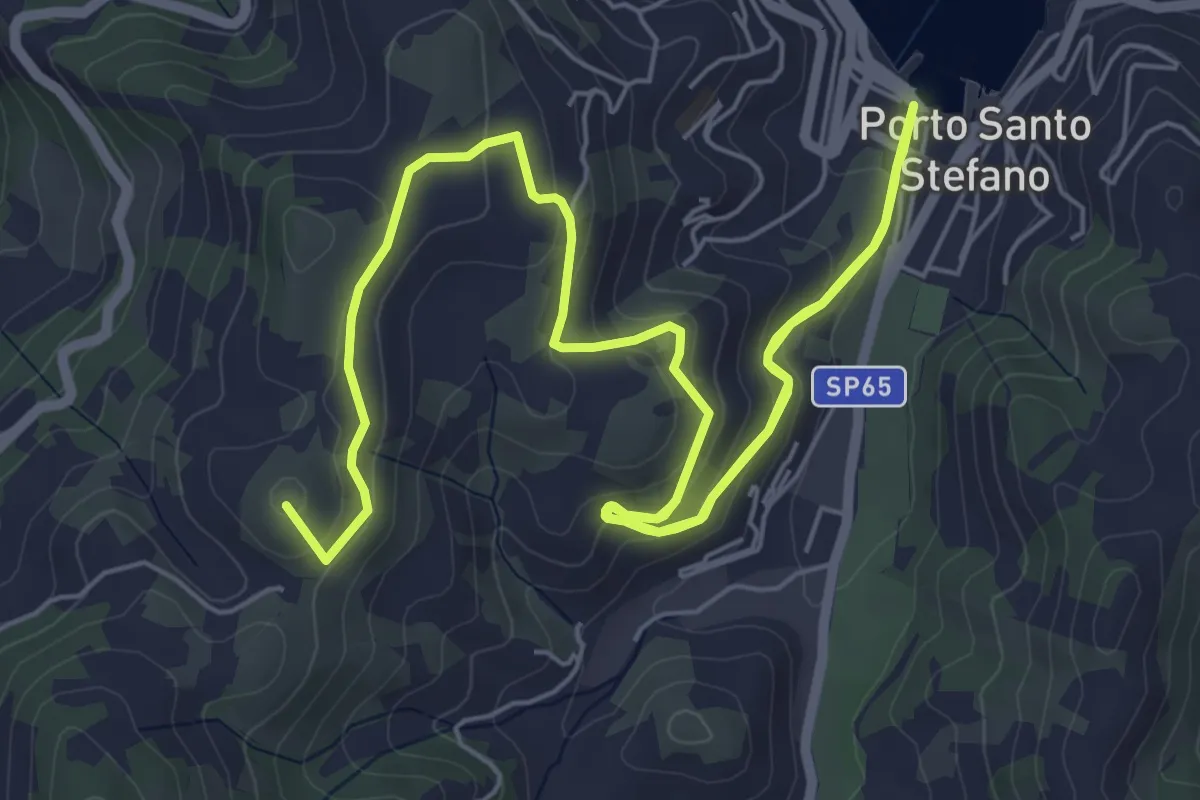
Medium · Summit
Porto della Valle - Capo D'Uomo
11.1 km · ↑ 461 m · 3 h 37 min · 8 km away
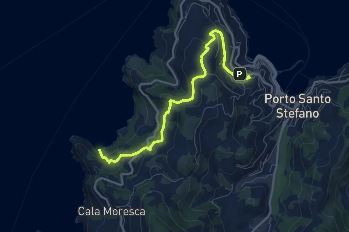
Medium · Trail
Via del Sole – Cala Grande Spiaggia
8.6 km · ↑ 411 m · 2 h 55 min · 8 km away
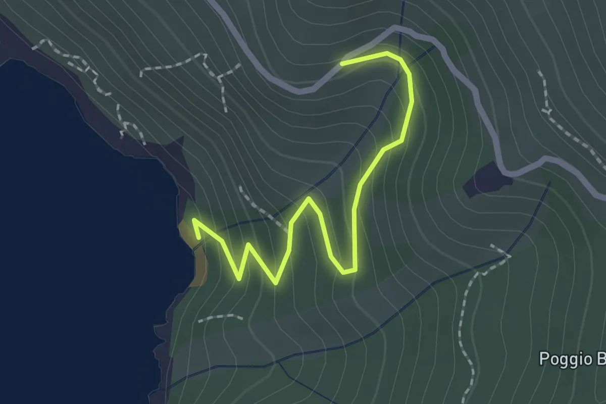
Easy · Trail
Discesa a Cala Purgatorio
2.1 km · ↑ 158 m · 50 min · 9 km away
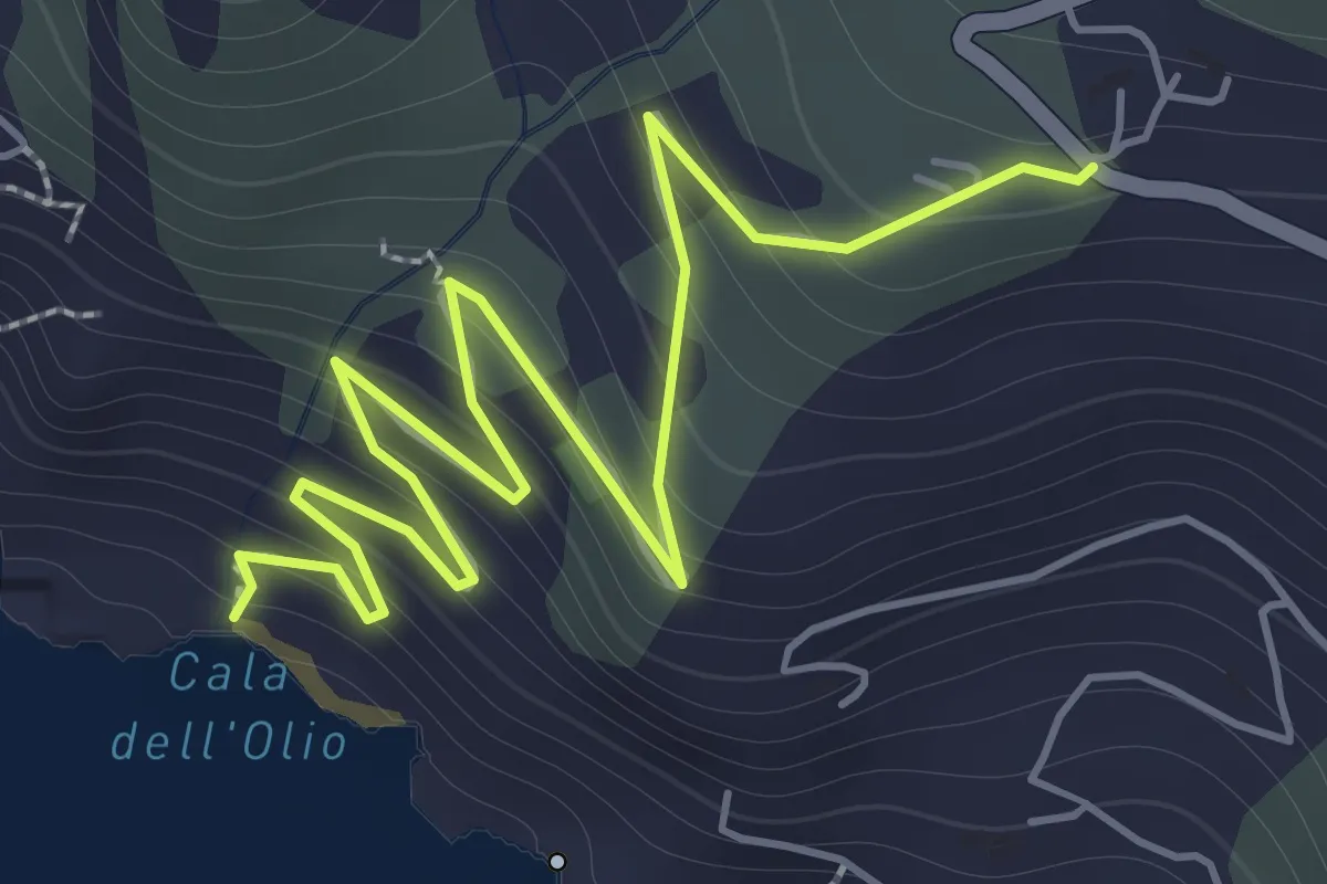
Easy · Trail
Discesa a Cala dell'Olio
2.8 km · ↑ 237 m · 1 h 10 min · 9 km away
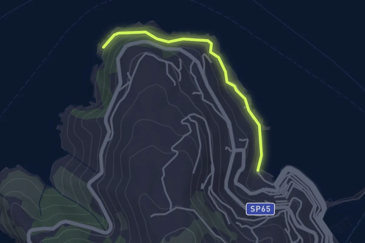
Easy · Trail
I Fari
3.2 km · ↑ 115 m · 1 h · 9 km away
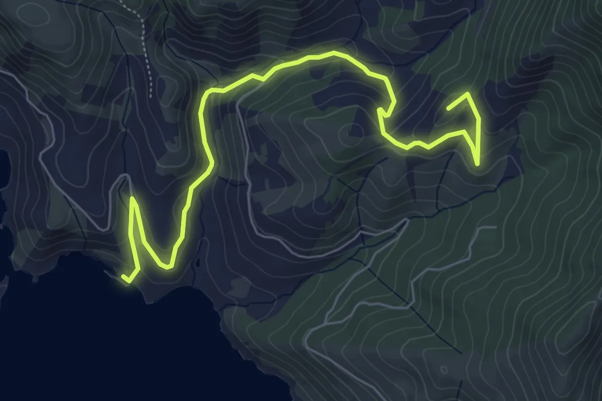
Medium · Summit
Trivio dell'Olmo - Mar Morto
7.8 km · ↑ 402 m · 2 h 42 min · 9 km away
Medium · Trail
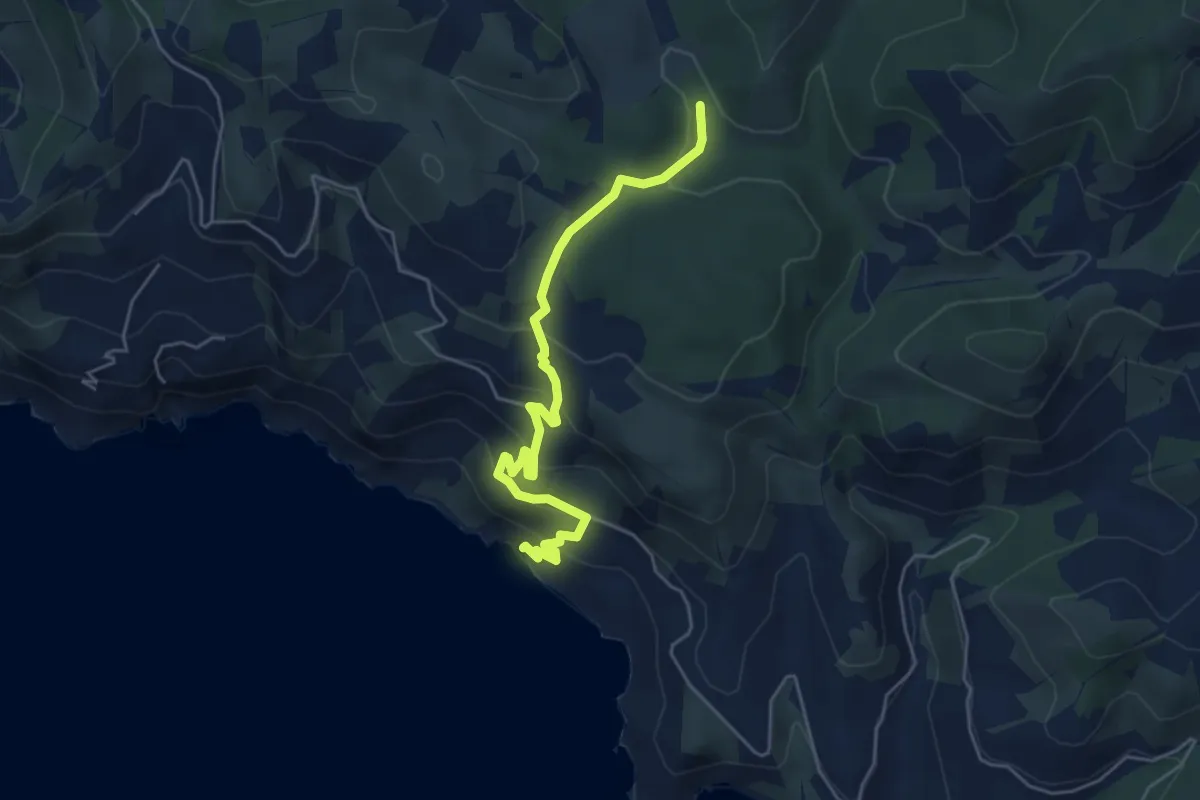
Trivio dell'Olmo - Sassi Verdi
5.5 km · ↑ 379 m · 2 h 7 min · 9 km away
Medium · Summit
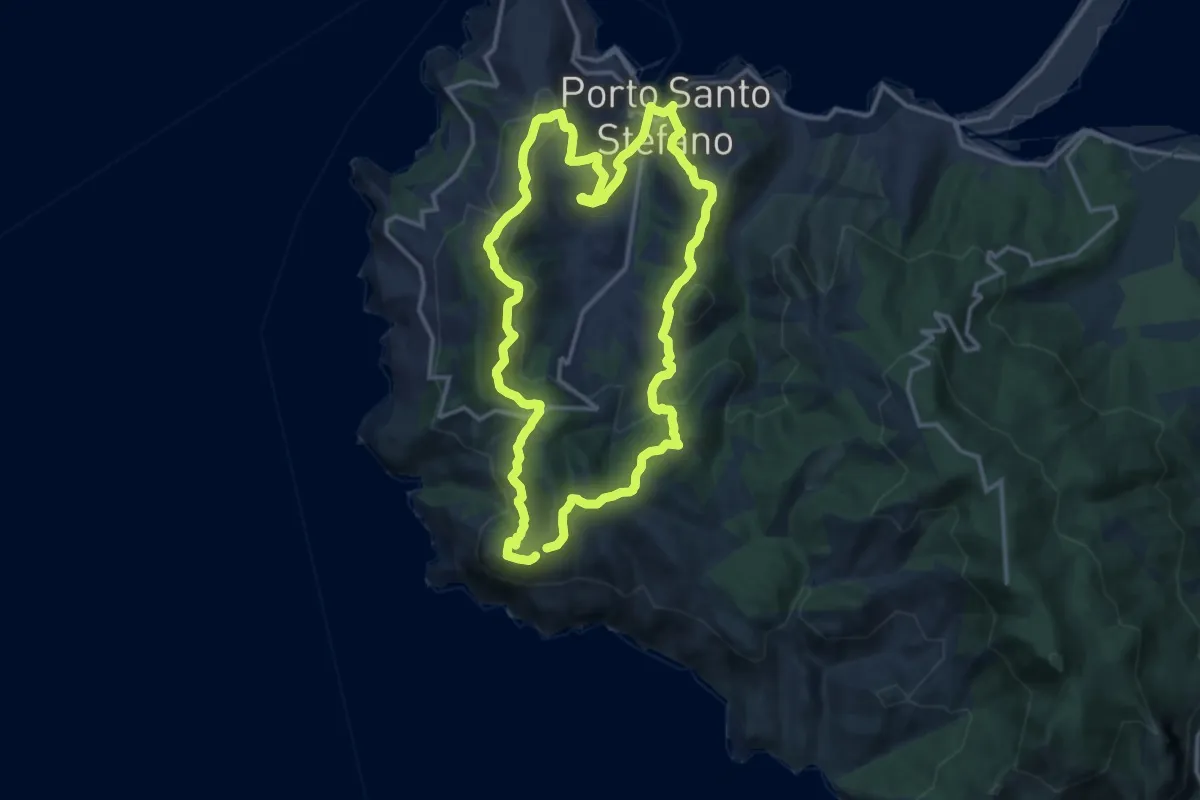
Anello del Campone
14.8 km · ↑ 675 m · 5 h 9 min · 10 km away
Easy · Summit
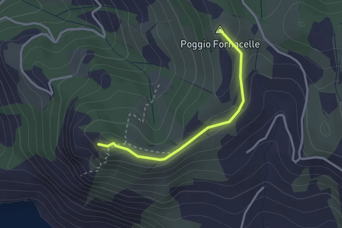
Poggio Fornacelle - Torre di Capo D'Uomo
2.3 km · ↑ 172 m · 55 min · 10 km away
Easy · Summit
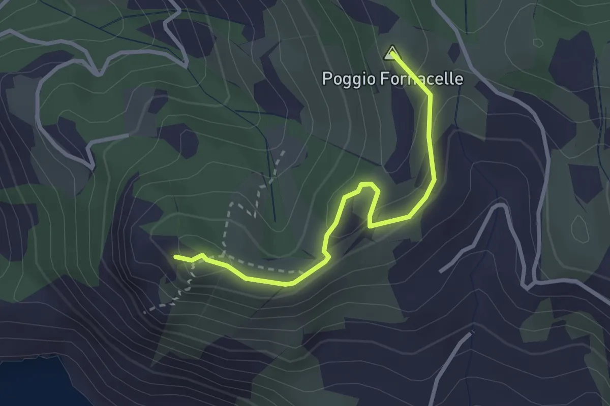
Da Poggio Pinzo a Torre di Capo d'Uomo
2.8 km · ↑ 206 m · 1 h 6 min · 10 km away
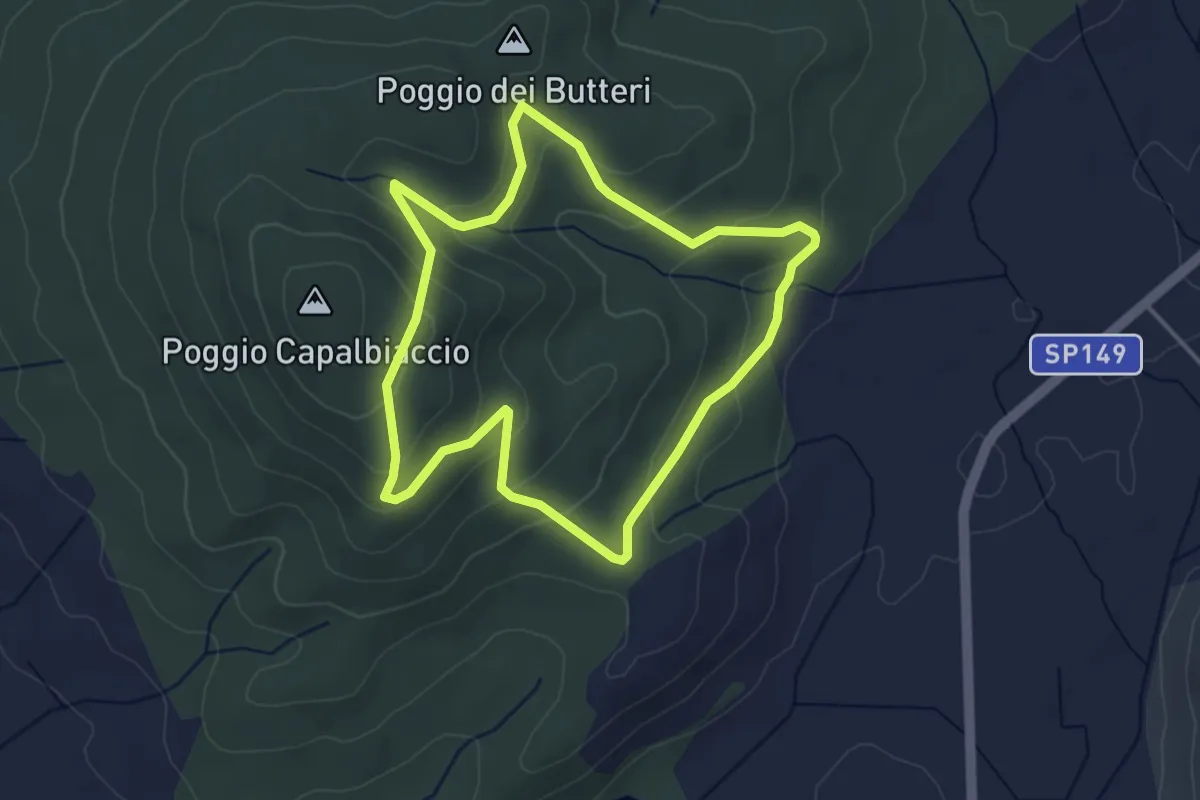
Easy · Summit
Anello di Capalbiaccio
3.9 km · ↑ 166 m · 1 h 20 min · 12 km away
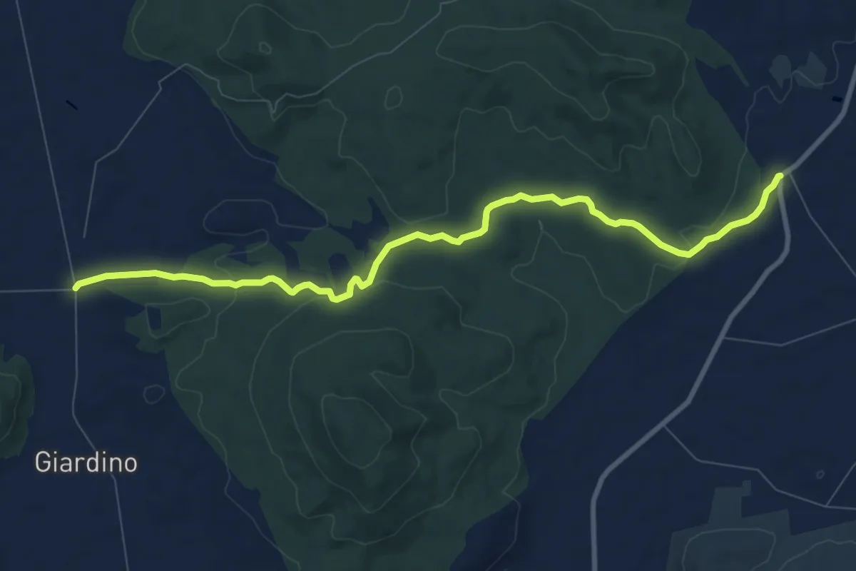
Medium · Trail
Vicinale Giardino
10.2 km · ↑ 203 m · 2 h 51 min · 14 km away
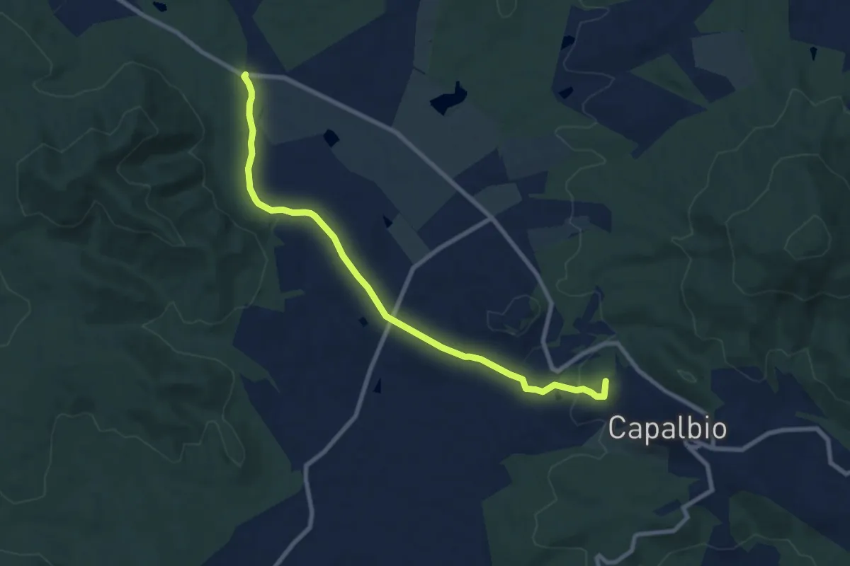
Medium · Summit
Capalbio – Bivio sentiero 805
8.8 km · ↑ 139 m · 2 h 23 min · 15 km away