Trails near Orvieto
26 hikes starting within 15 km, nearest first.
Nearest first
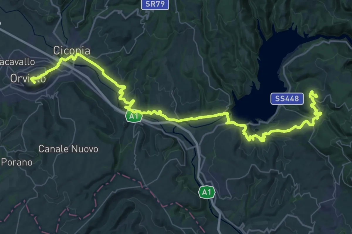
Demanding · Trail
Italia Coast to Coast-Tappa 11
24.5 km · ↑ 623 m · 7 h 24 min · under 1 km away
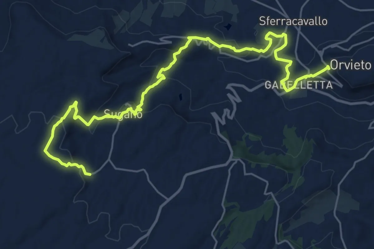
Demanding · Trail
Orvieto – Canonica
22.7 km · ↑ 784 m · 7 h 3 min · under 1 km away
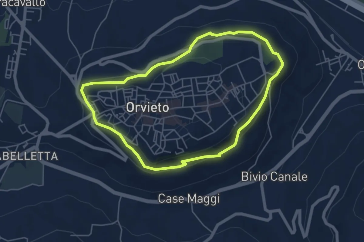
Easy · Trail
Anello della Rupe
4.3 km · ↑ 156 m · 1 h 24 min · under 1 km away
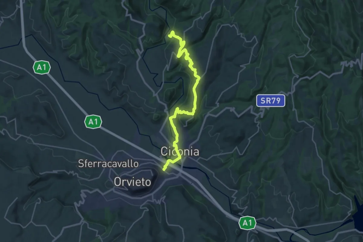
Demanding · Trail
Orvieto Scalo – Intersezione percorso 812
22.3 km · ↑ 669 m · 6 h 42 min · 2 km away
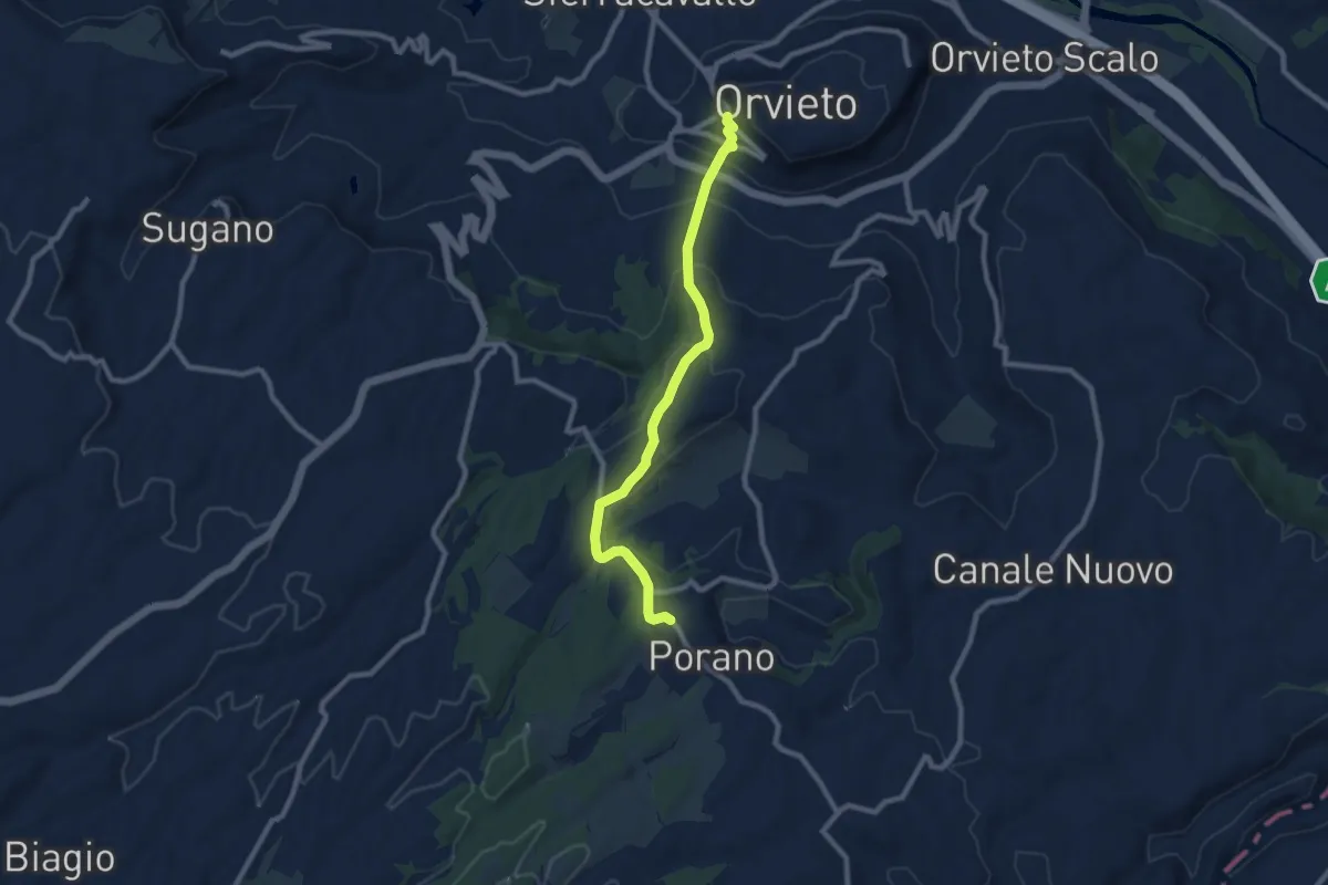
Medium · Trail
Orvieto – Porano
9.5 km · ↑ 381 m · 3 h 4 min · 4 km away
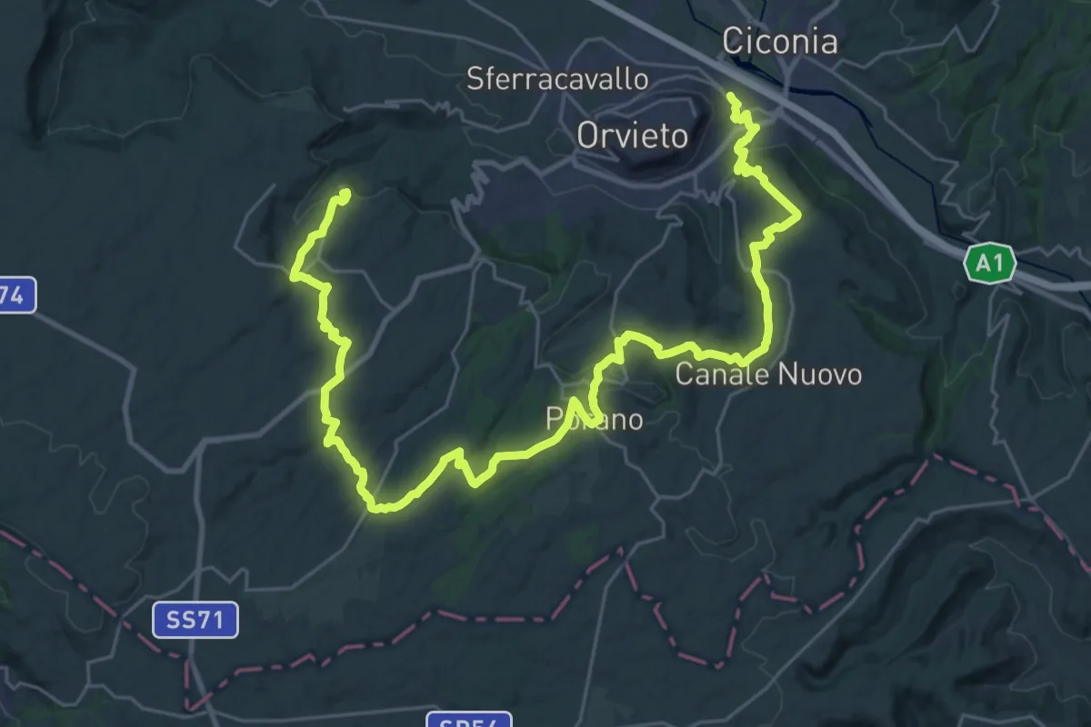
Demanding · Trail
Orvieto Scalo – Sugano
21.2 km · ↑ 293 m · 6 h 6 min · 4 km away
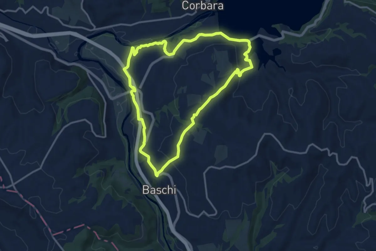
Medium · Trail
Anello Baschi - Diga di Corbara
10.4 km · ↑ 257 m · 3 h 10 min · 9 km away
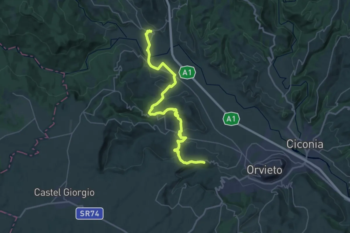
Medium · Trail
Allerona Scalo – Rocca Ripesena
14.2 km · ↑ 423 m · 4 h 23 min · 9 km away
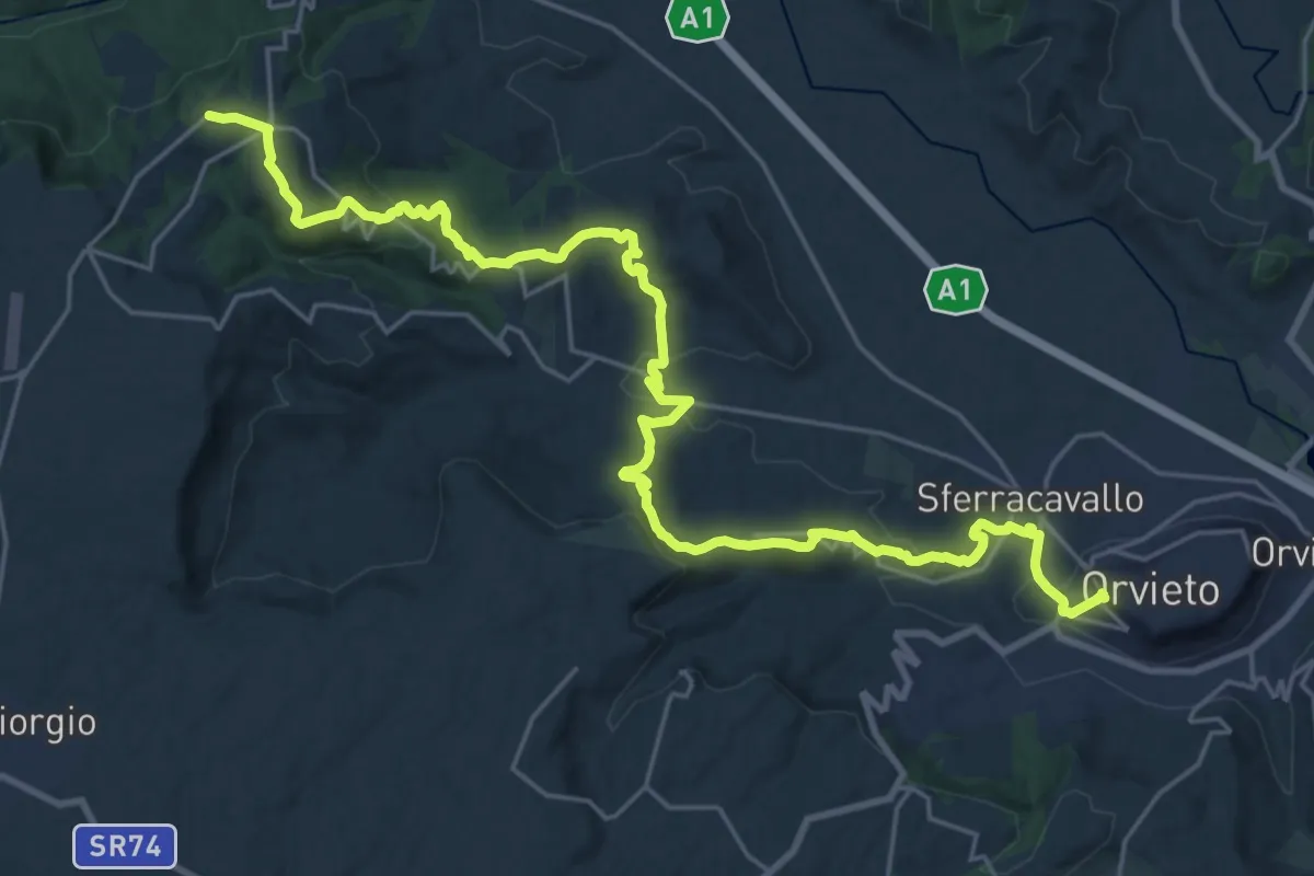
Medium · Trail
Castel Viscardo – Orvieto
15.4 km · ↑ 410 m · 4 h 51 min · 9 km away
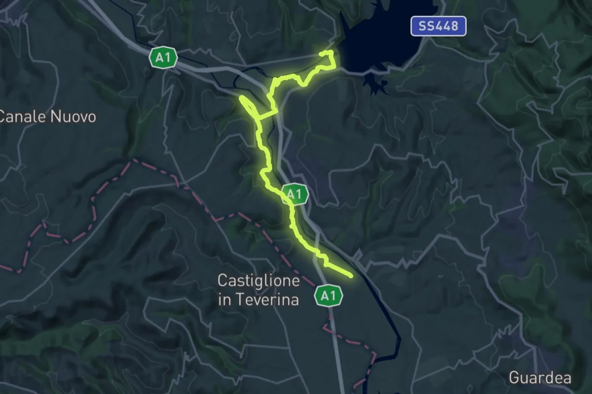
Demanding · Trail
Corbara – Stazione di Castiglione in Teverina
24.2 km · ↑ 484 m · 6 h 46 min · 10 km away
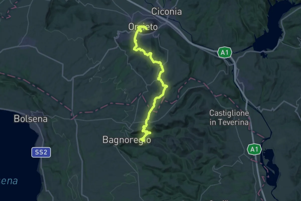
Medium · Trail
Cammino di Larth - Tappa 3
17.9 km · ↑ 523 m · 5 h 39 min · 10 km away
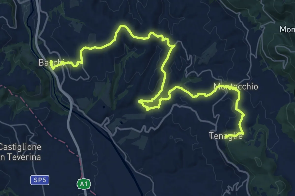
Medium · Trail
Le colline del sole
15.2 km · ↑ 526 m · 4 h 51 min · 10 km away
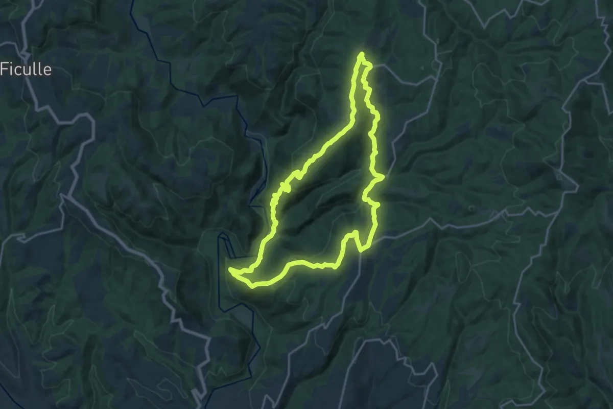
Medium · Trail
Anello dell'Elmo
17.2 km · ↑ 630 m · 5 h 39 min · 12 km away
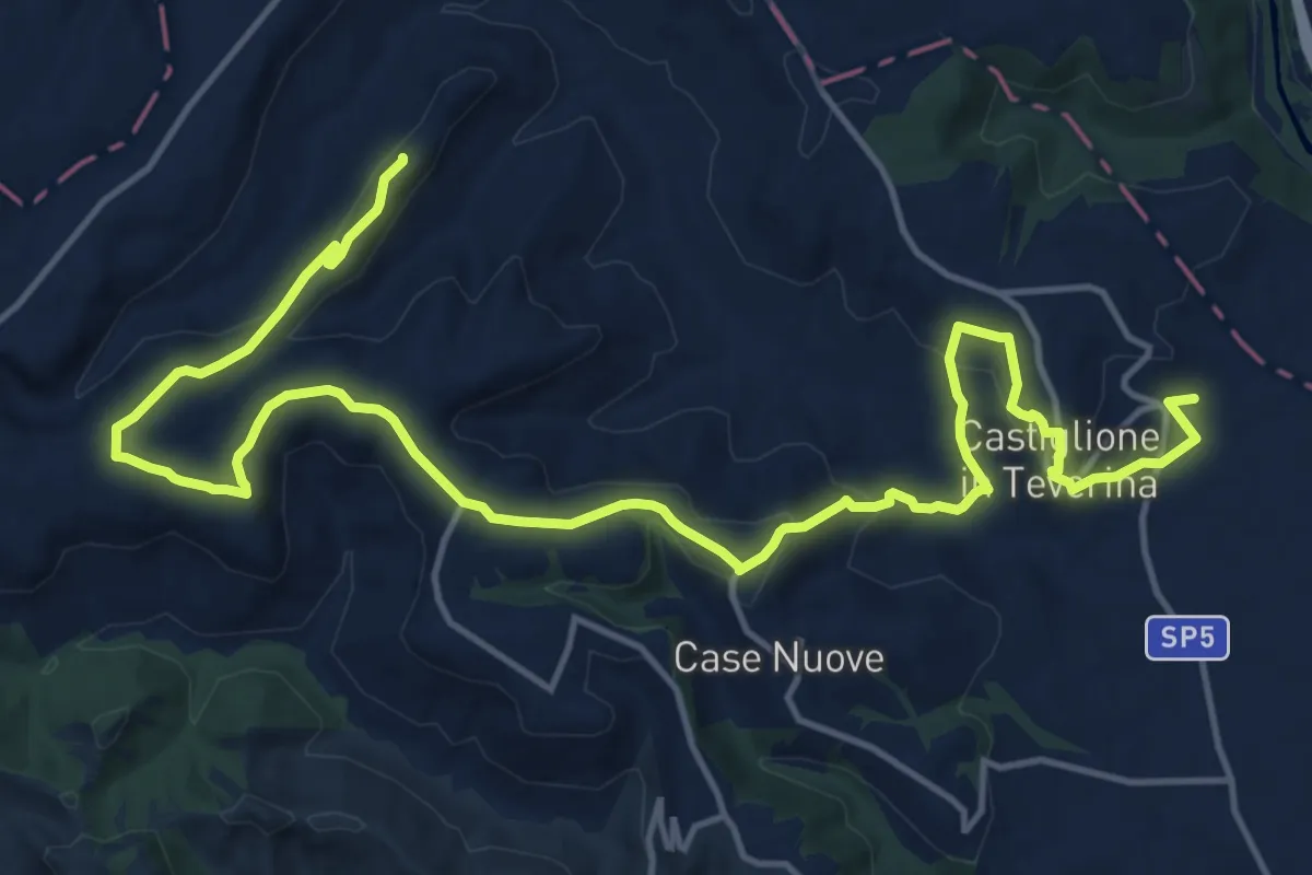
Demanding · Trail
Castiglione in Teverina – Sermugnano
22.2 km · ↑ 726 m · 6 h 49 min · 12 km away
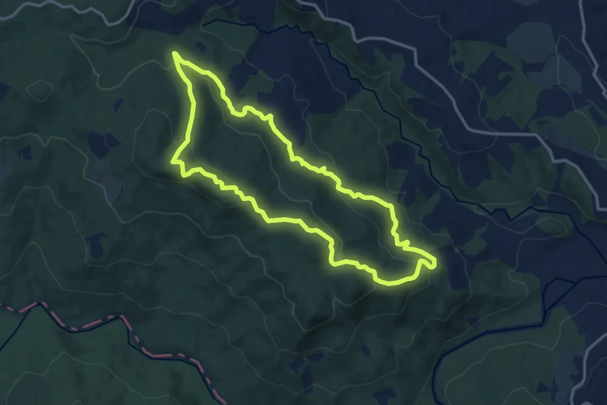
Medium · Trail
Anello di Meana
10.4 km · ↑ 381 m · 3 h 26 min · 12 km away
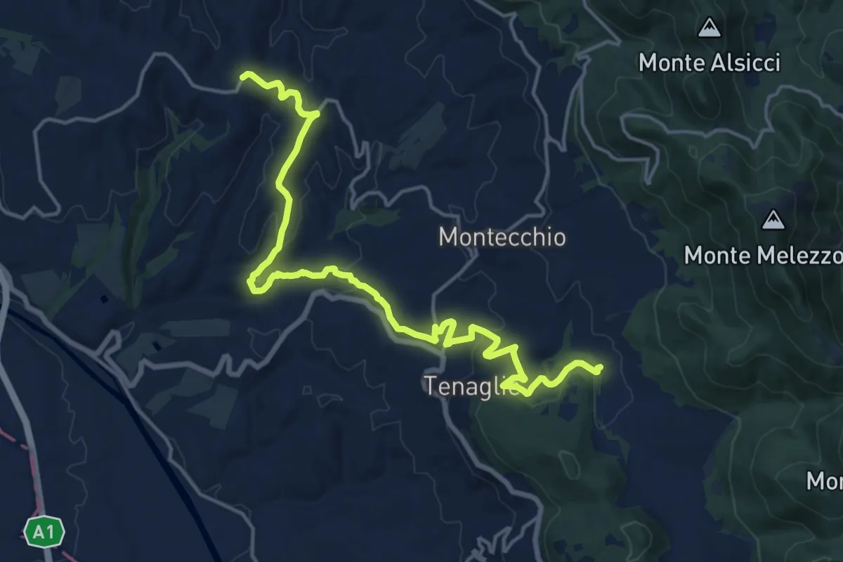
Demanding · Trail
Montecchio percorso A
19.0 km · ↑ 508 m · 5 h 35 min · 13 km away
Medium · Trail
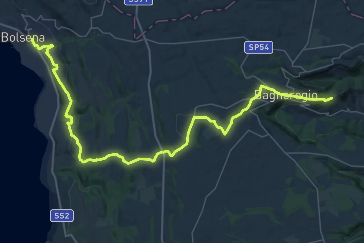
Cammino di Larth - Tappa 2
16.7 km · ↑ 394 m · 4 h 59 min · 13 km away
Demanding · Trail
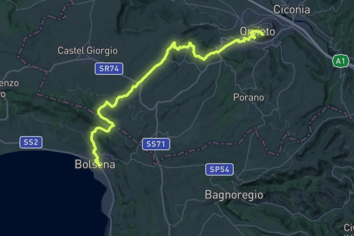
Cammino di Larth - Tappa 1
21.7 km · ↑ 608 m · 6 h 45 min · 13 km away
Demanding · Summit
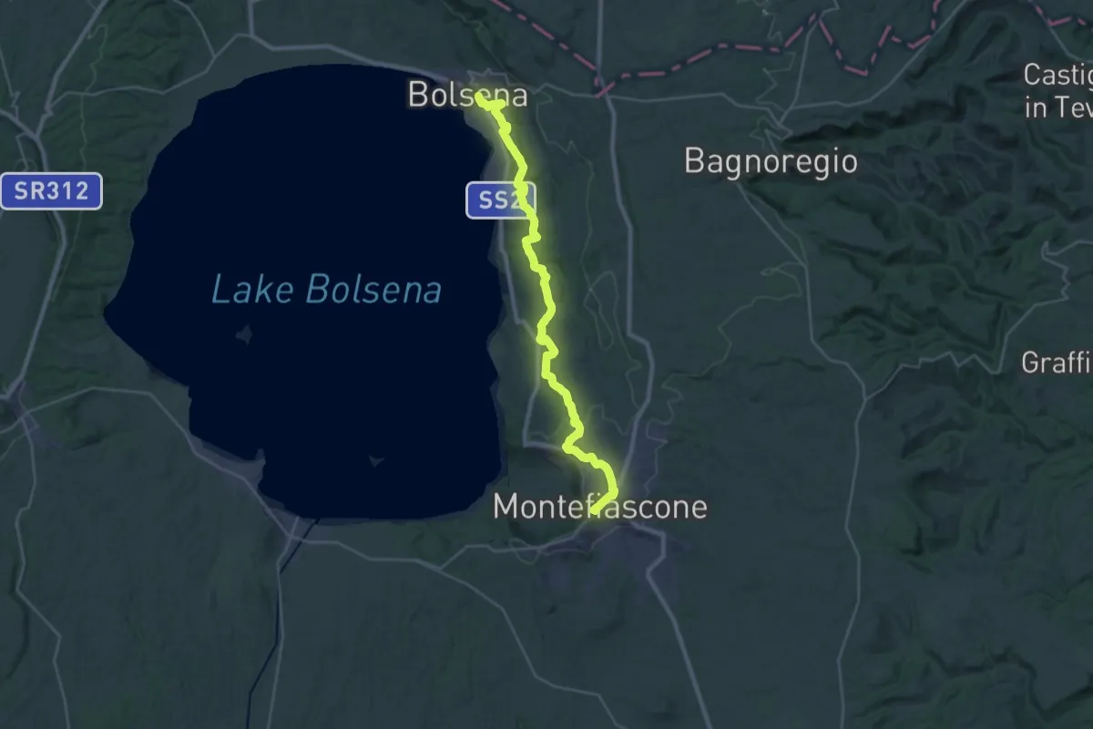
Romea Strata in Italia - Tappa RSIT42
33.6 km · ↑ 788 m · 9 h 38 min · 13 km away
Demanding · Summit
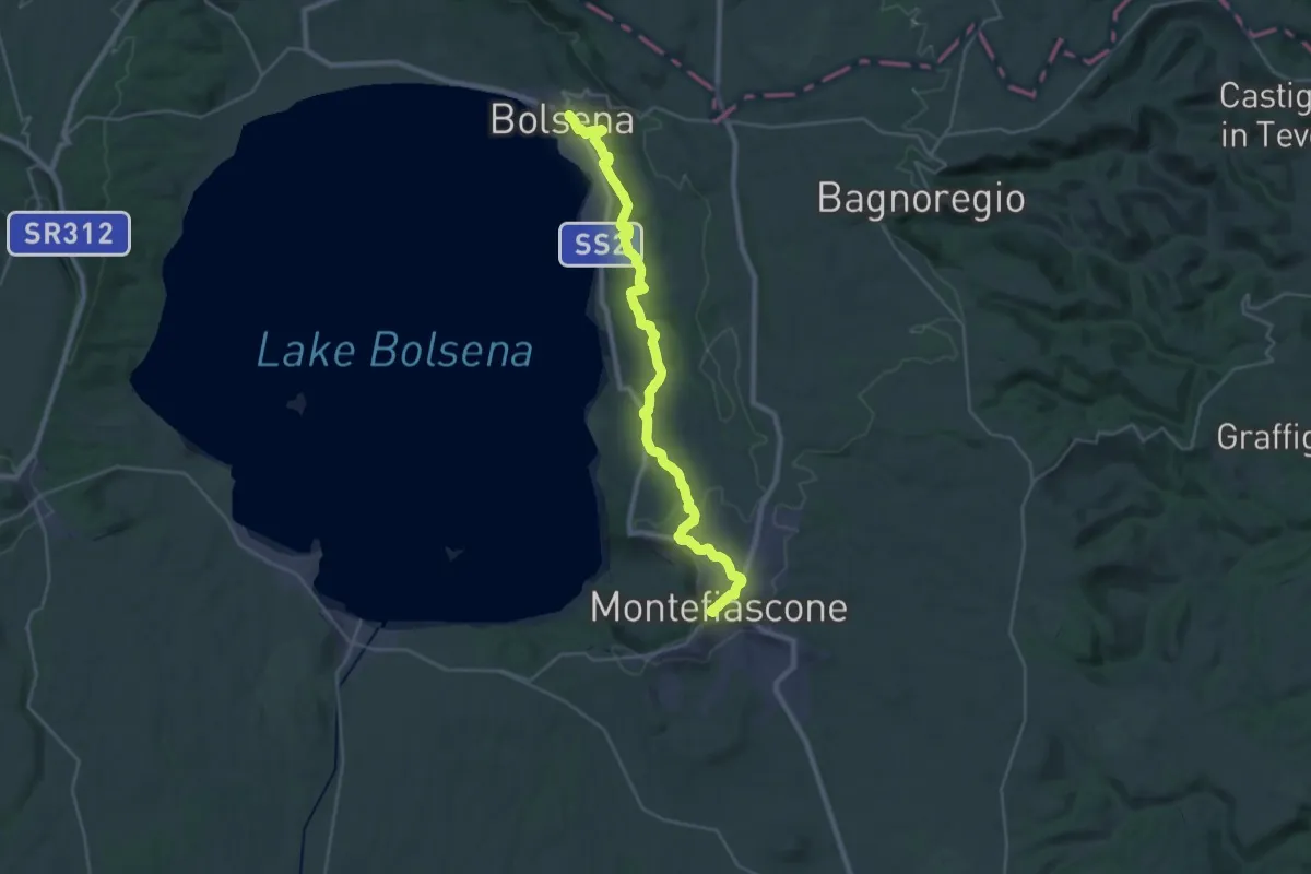
Bolsena – Montefiascone
33.7 km · ↑ 766 m · 9 h 37 min · 13 km away
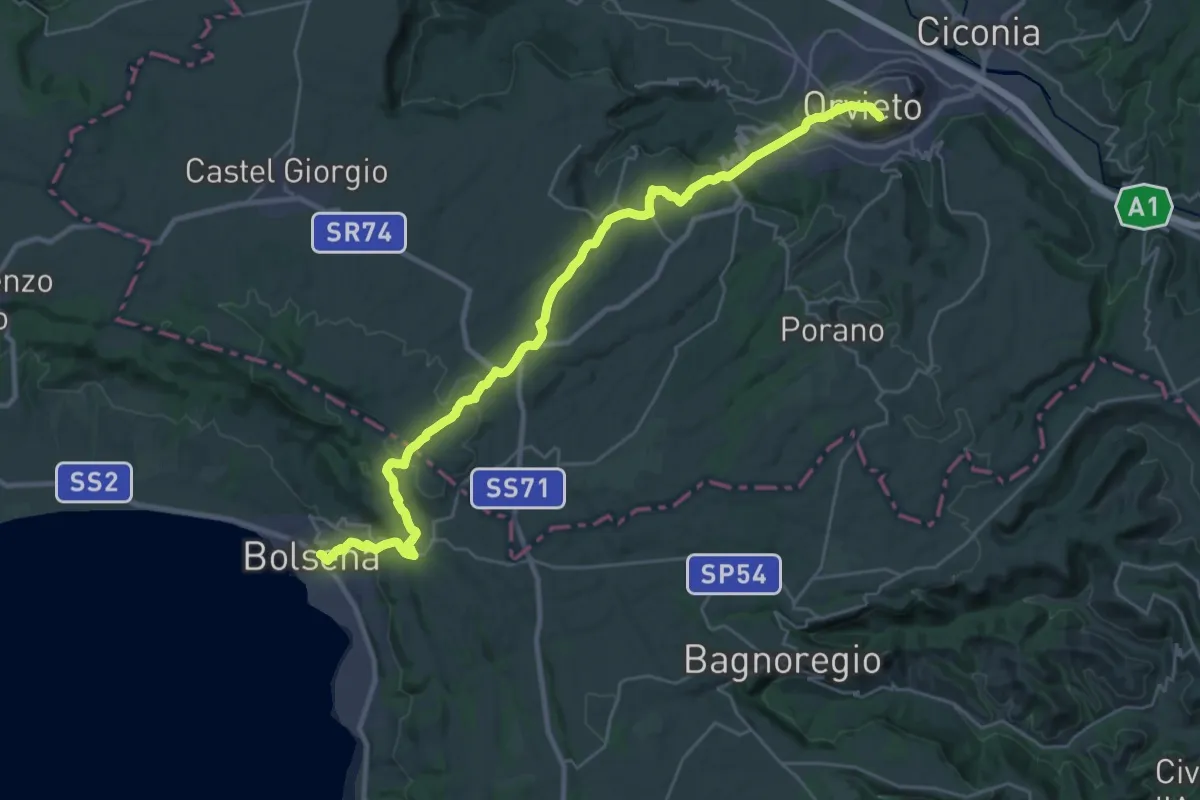
Medium · Trail
Italia Coast to Coast tappa 12
17.2 km · ↑ 485 m · 5 h 21 min · 13 km away
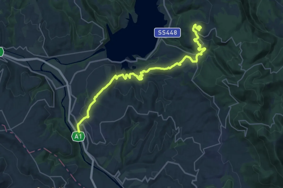
Demanding · Trail
I sentieri di Bacco
24.4 km · ↑ 805 m · 7 h 31 min · 14 km away
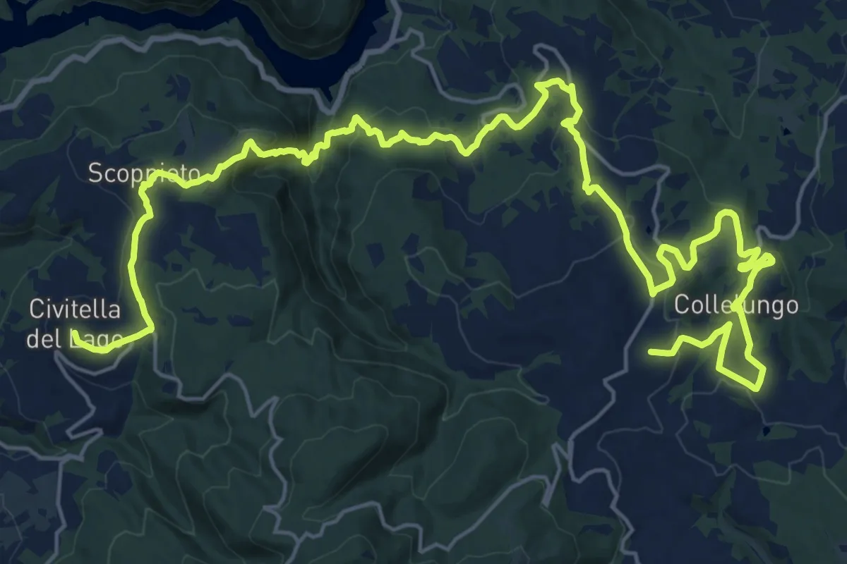
Medium · Trail
Tormento ed estasi
16.1 km · ↑ 637 m · 5 h 23 min · 14 km away
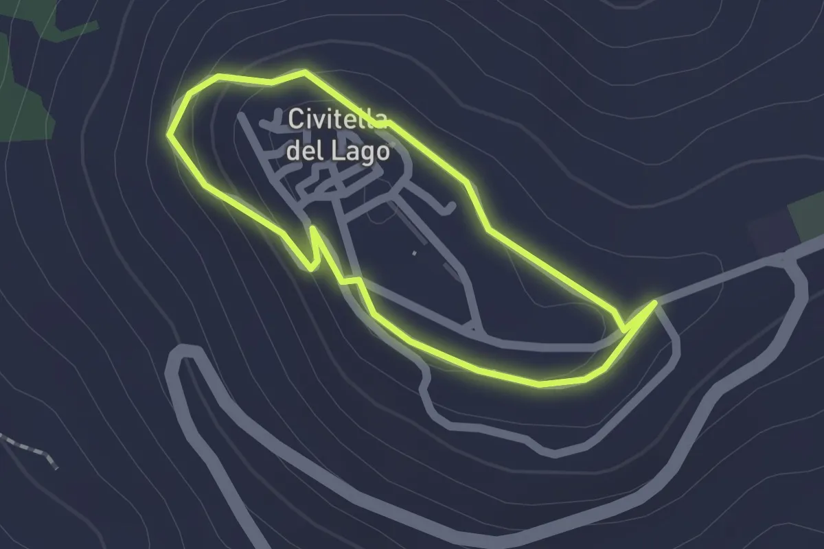
Easy · Trail
Passeggiata delle cinque fontane
1.5 km · ↑ 35 m · 26 min · 14 km away
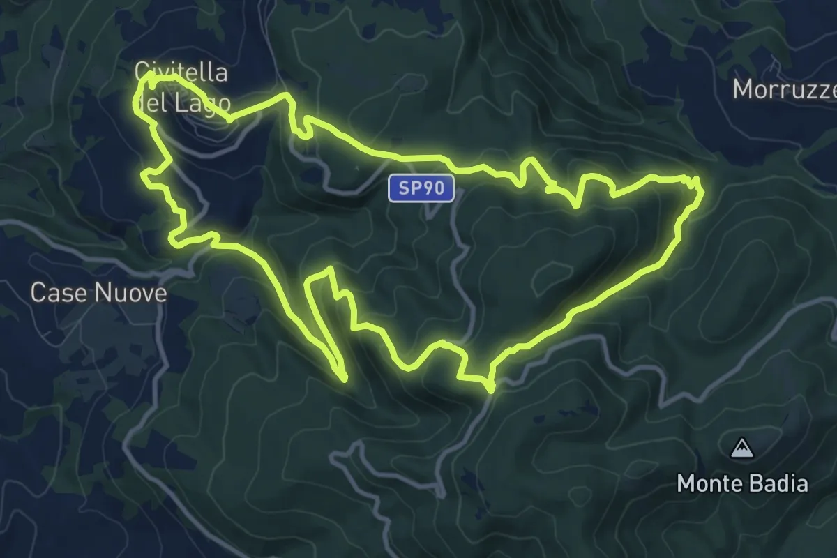
Medium · Trail
Anello di Civitella del Lago
13.1 km · ↑ 687 m · 4 h 45 min · 14 km away
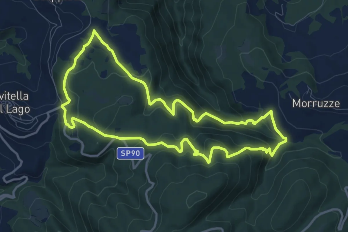
Medium · Trail
Sentiero Buche del Vento
9.2 km · ↑ 447 m · 3 h 17 min · 15 km away