Trails near Osio Sotto
39 hikes starting within 15 km, nearest first.
Nearest first
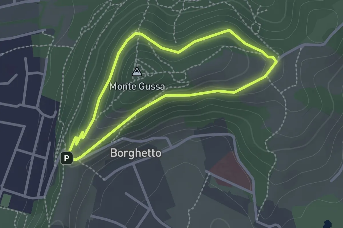
Easy · Summit
Giro del Monte Gussa
2.1 km · ↑ 95 m · 44 min · 10 km away
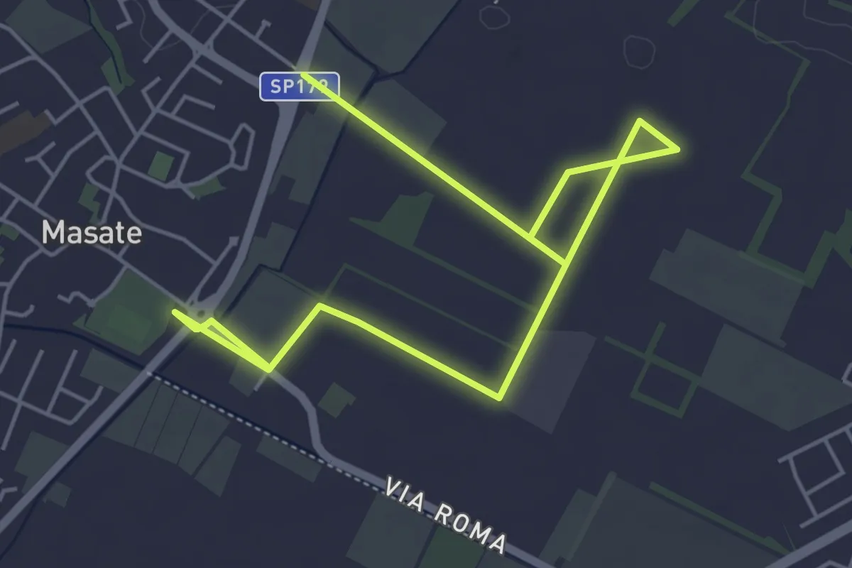
Easy · Trail
Percorso del frumento
7.1 km · ↑ 4 m · 1 h 41 min · 10 km away
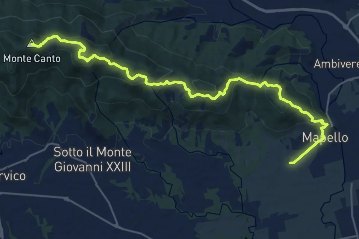
Medium · Summit
Mapello – Villa d'Adda (traghetto)
15.0 km · ↑ 666 m · 4 h 59 min · 11 km away
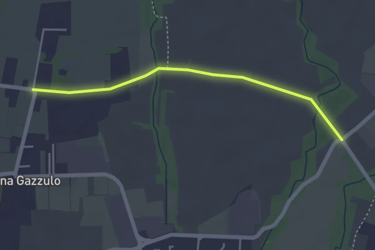
Easy · Trail
Percorso n° 6
3.4 km · ↑ 5 m · 49 min · 11 km away
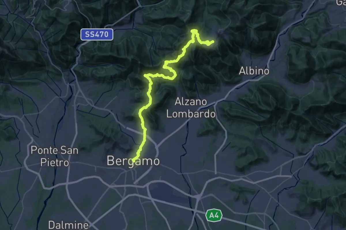
Demanding · Trail
Alta Via delle Grazie - Tappa 1
22.4 km · ↑ 1546 m · 8 h 35 min · 11 km away
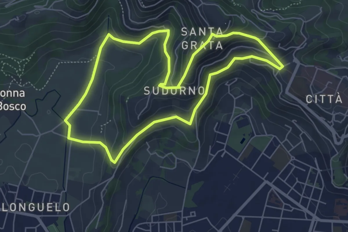
Easy · Trail
Le Vie del Verde (Itinerario 1)
5.3 km · ↑ 246 m · 1 h 52 min · 11 km away
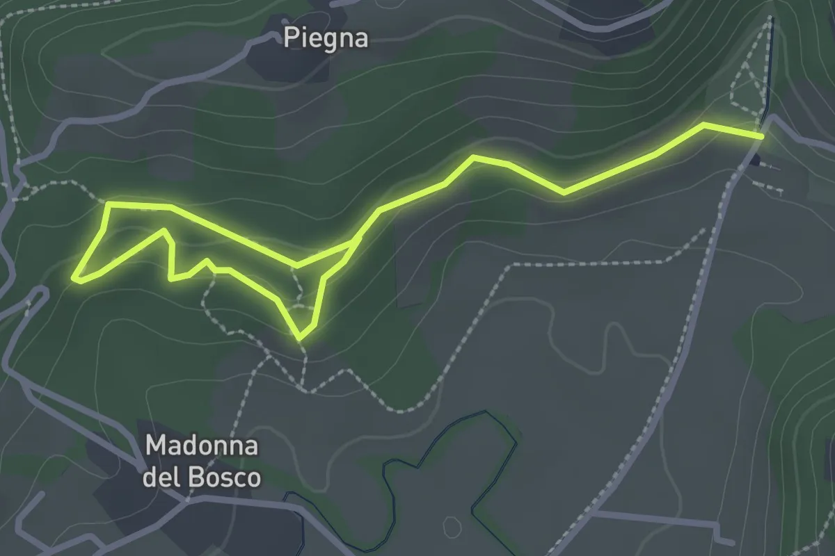
Easy · Trail
Bosco dell'Allegrezza
3.6 km · ↑ 103 m · 1 h 4 min · 11 km away
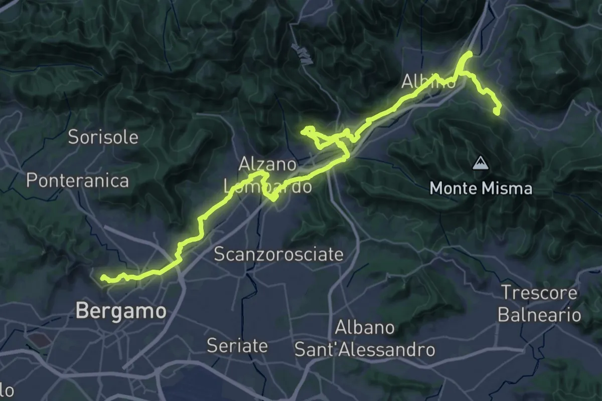
Demanding · Trail
Alta Via delle Grazie - Tappa 13
25.6 km · ↑ 413 m · 7 h 17 min · 11 km away
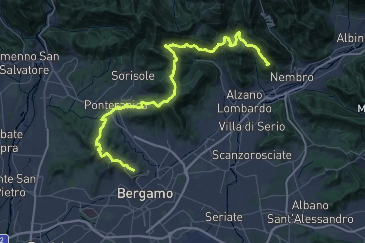
Demanding · Summit
La Via delle Sorelle - Tappa 6 Traversa
19.8 km · ↑ 1016 m · 7 h 3 min · 11 km away
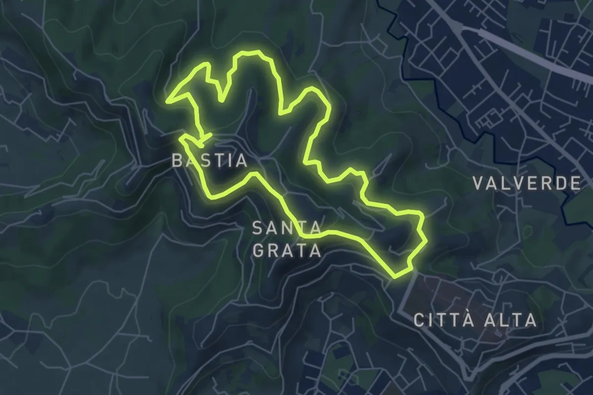
Easy · Summit
Le Vie del Verde (Itinerario 2)
6.0 km · ↑ 282 m · 2 h 6 min · 11 km away
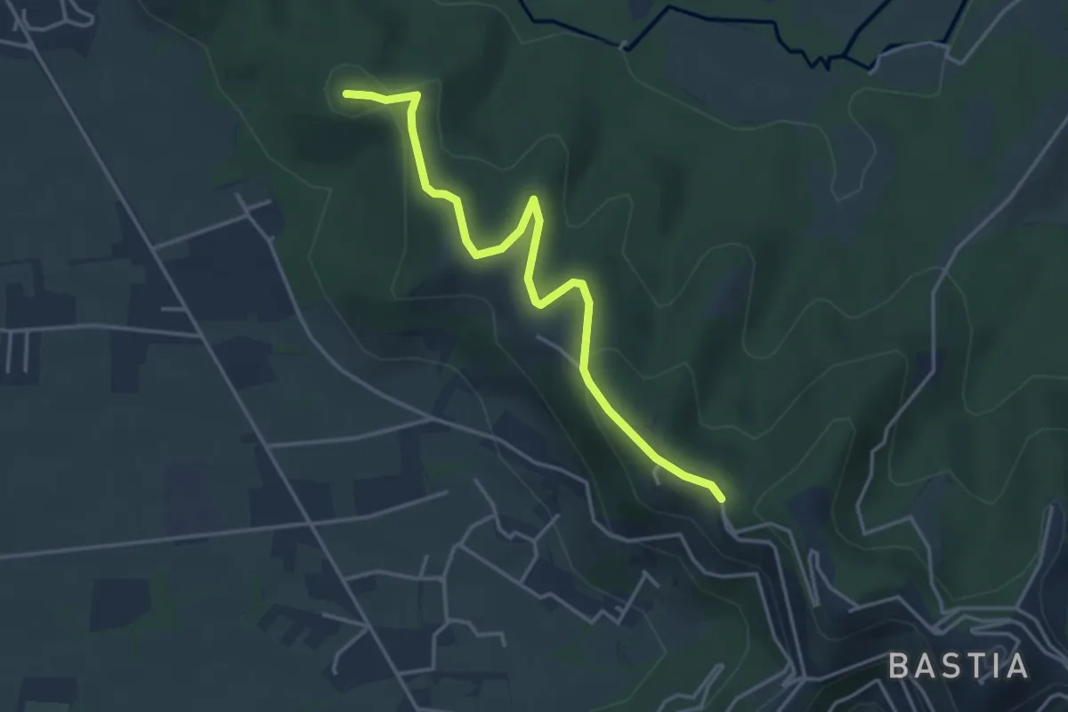
Easy · Summit
Santuario di Sombreno (Paladina) – Colle dei Roccoli (Bergamo)
4.0 km · ↑ 110 m · 1 h 11 min · 12 km away
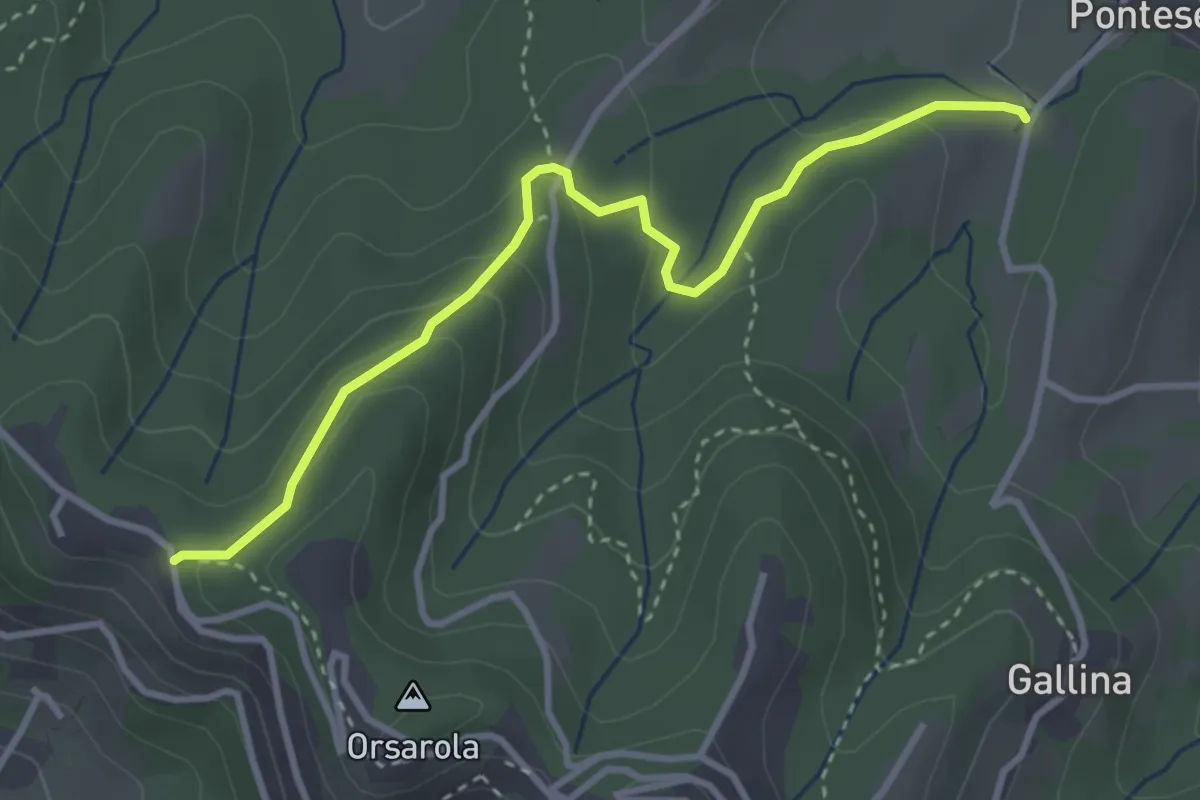
Demanding · Trail
Via Castagneta – Colle dei Roccoli
3.5 km · ↑ 145 m · 1 h 9 min · 12 km away
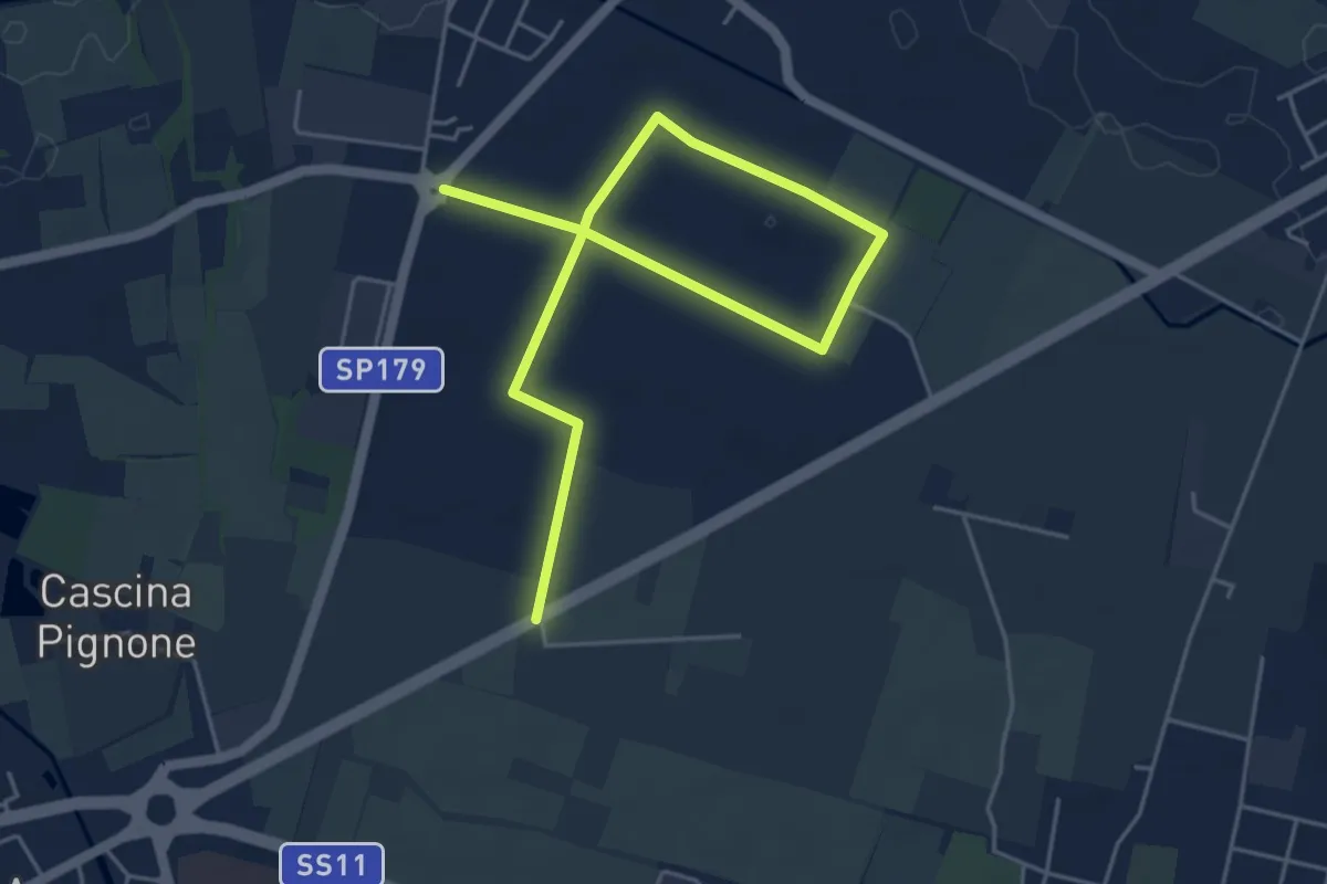
Easy · Trail
Percorso del granoturco
6.5 km · ↑ 4 m · 1 h 33 min · 12 km away
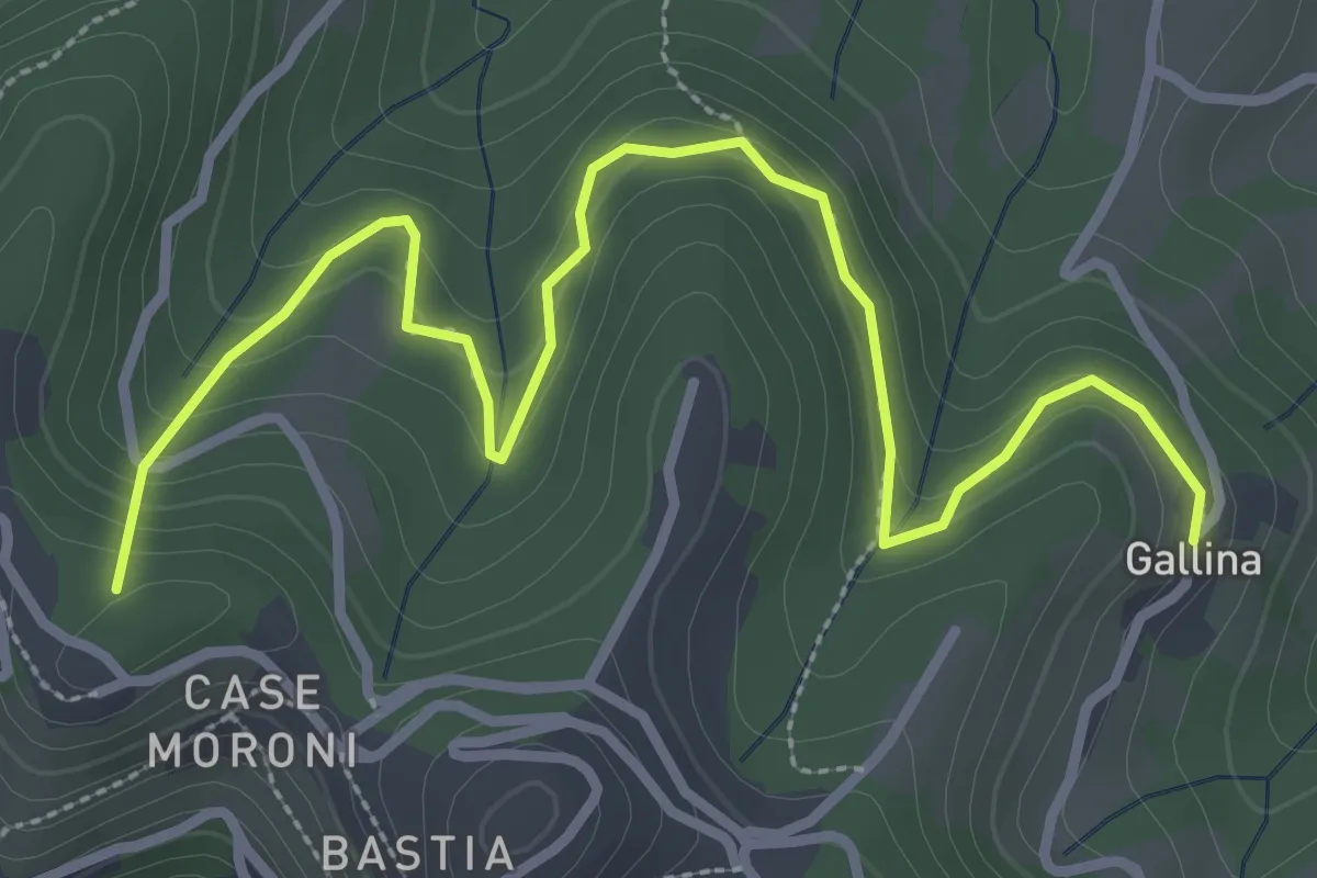
Easy · Summit
Sentiero dei Vasi
3.8 km · ↑ 252 m · 1 h 27 min · 12 km away
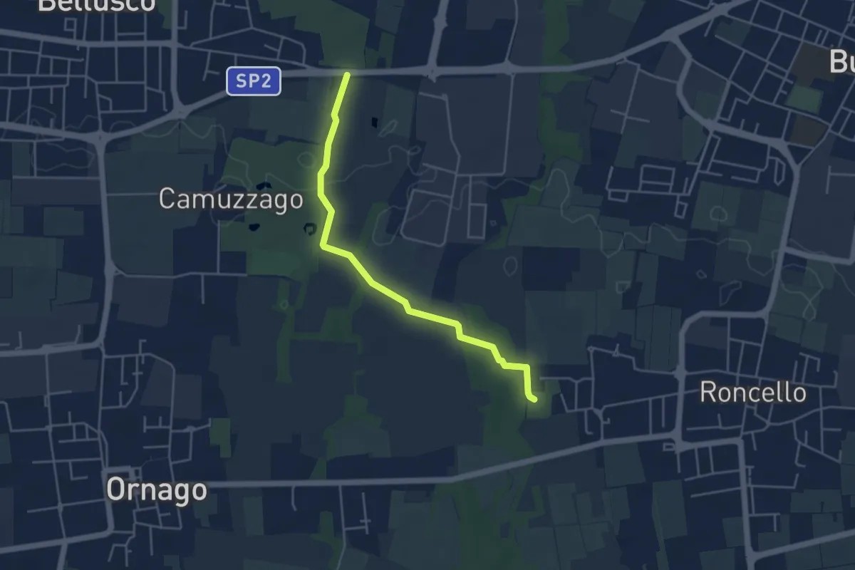
Easy · Trail
Percorso n° 4
4.3 km · ↑ 14 m · 1 h 3 min · 12 km away
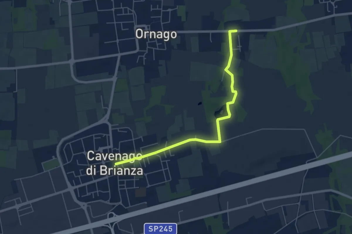
Easy · Trail
Percorso n° 2
5.7 km · ↑ 18 m · 1 h 23 min · 12 km away
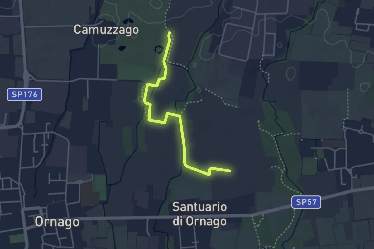
Easy · Trail
Percorso n° 4/A
3.4 km · ↑ 4 m · 49 min · 12 km away
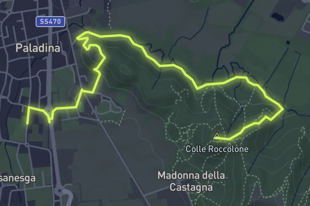
Easy · Summit
Il Sentiero di Ilaria
7.2 km · ↑ 194 m · 2 h 8 min · 12 km away
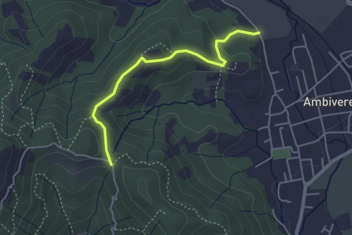
Easy · Trail
Ambivere – Chiesetta dei Cerri (incrocio 891)
3.4 km · ↑ 116 m · 1 h 3 min · 12 km away
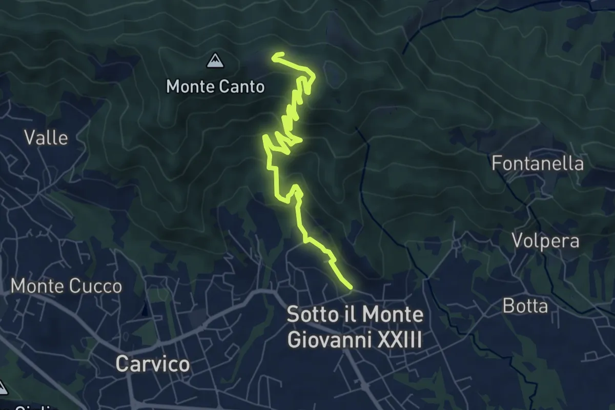
Medium · Trail
Sotto il Monte – Monte Canto (incrocio 891)
7.8 km · ↑ 458 m · 2 h 50 min · 12 km away
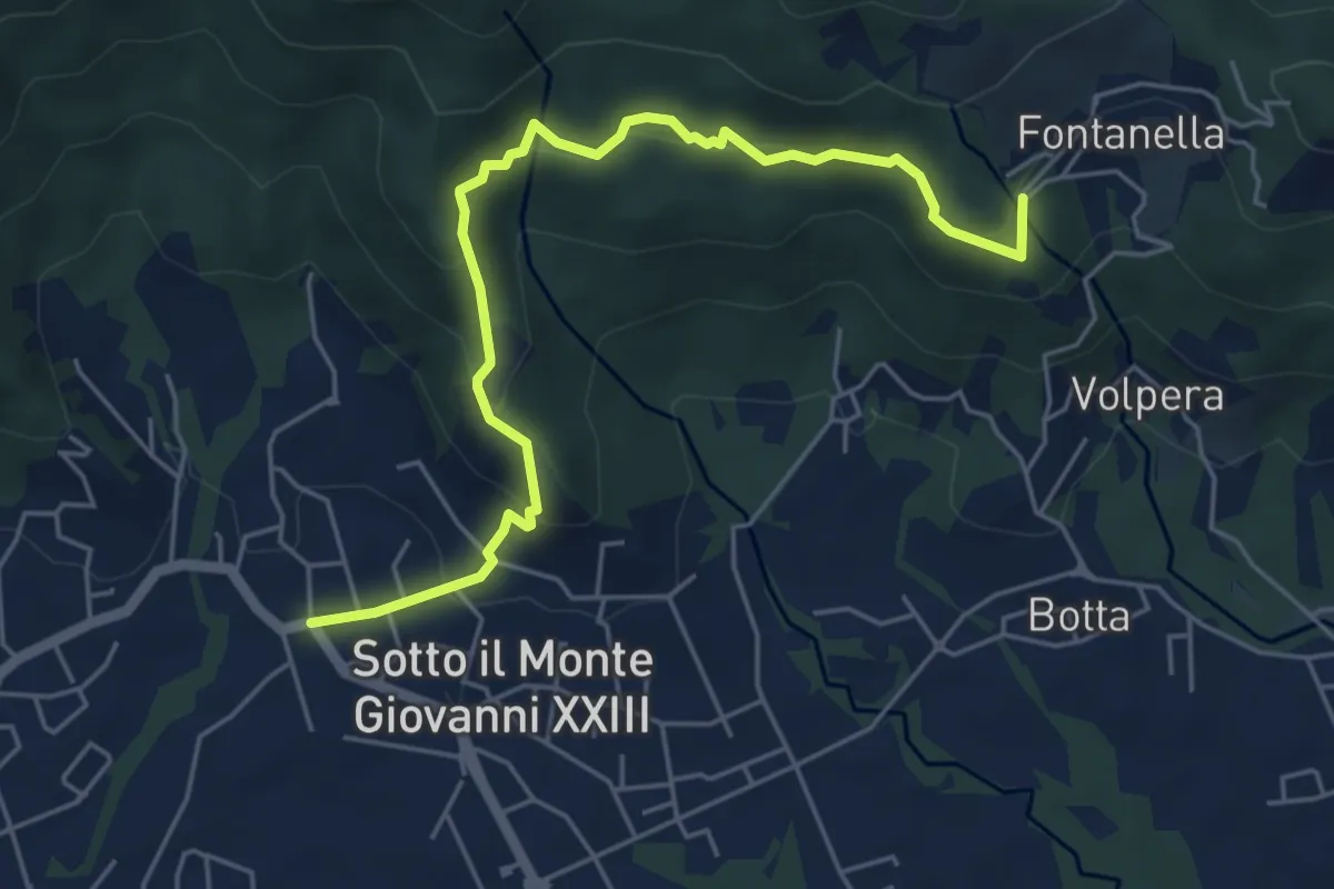
Easy · Trail
Sotto il Monte – Fontanella (incrocio 892)
5.8 km · ↑ 311 m · 2 h 3 min · 12 km away
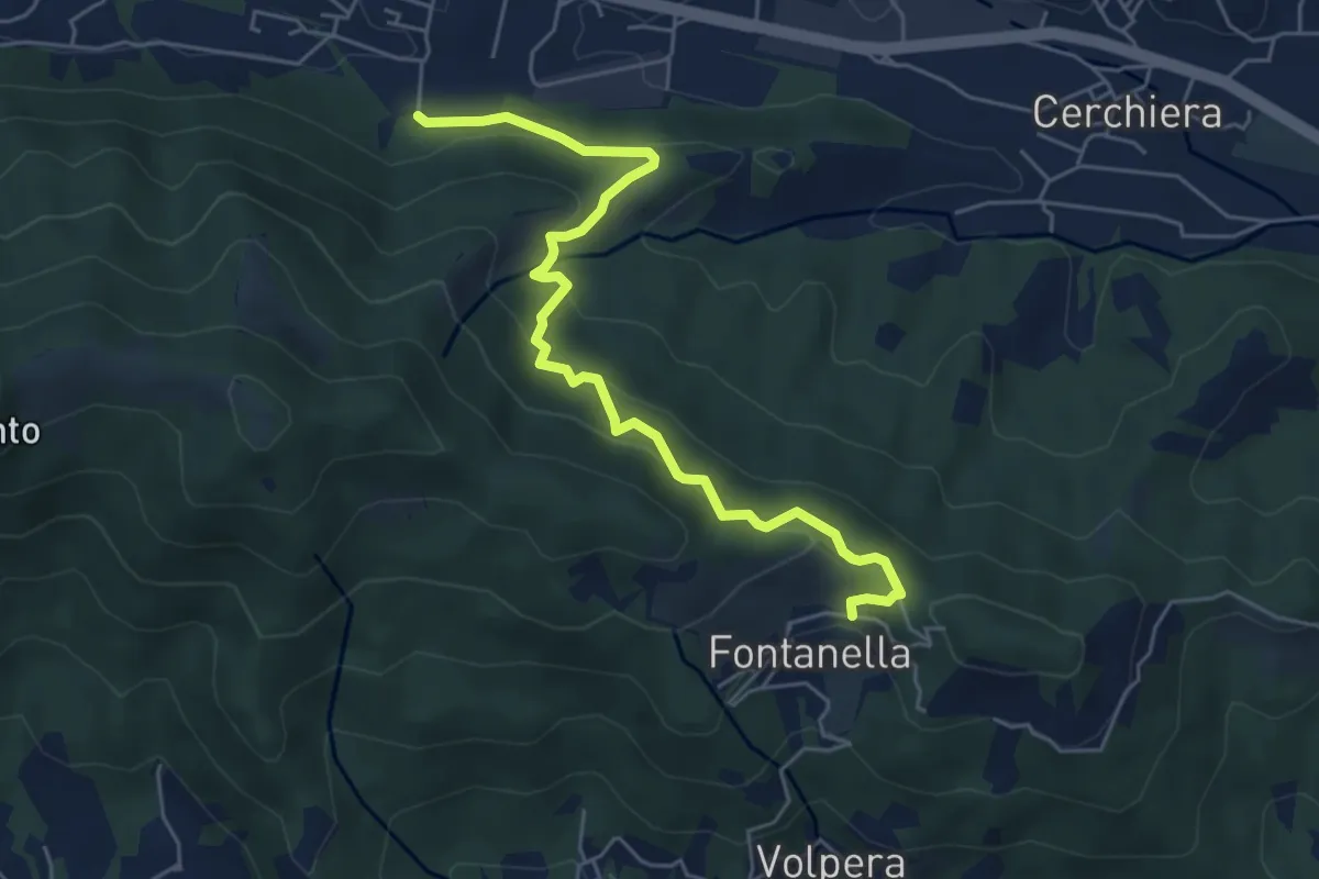
Medium · Trail
Pontida – Fontanella
5.9 km · ↑ 347 m · 2 h 8 min · 13 km away
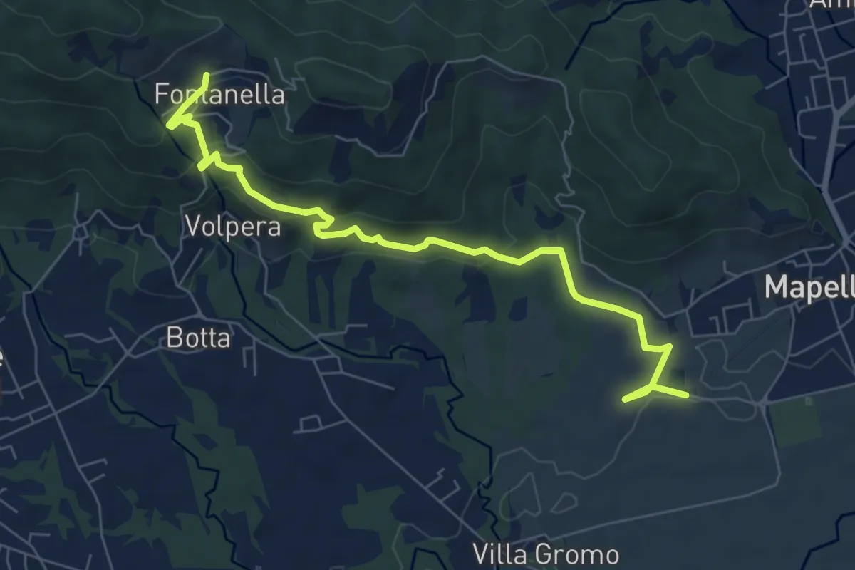
Medium · Trail
Madonna di Prada – Fontanella (Sotto il Monte)
7.5 km · ↑ 231 m · 2 h 17 min · 13 km away
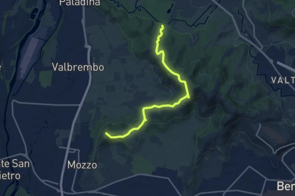
Medium · Summit
Traccia Partigiana
9.0 km · ↑ 351 m · 2 h 54 min · 13 km away
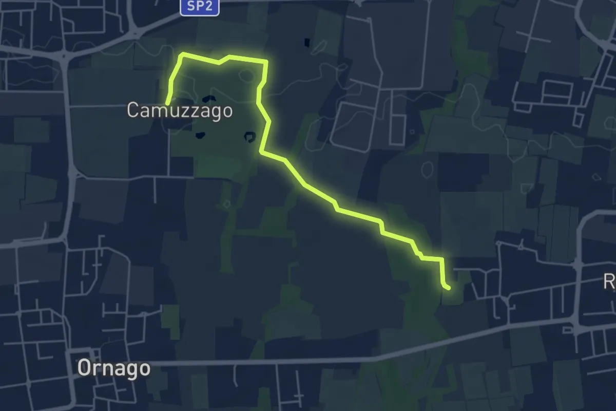
Easy · Trail
Sentiero delle Brughiere
5.1 km · ↑ 9 m · 1 h 14 min · 13 km away
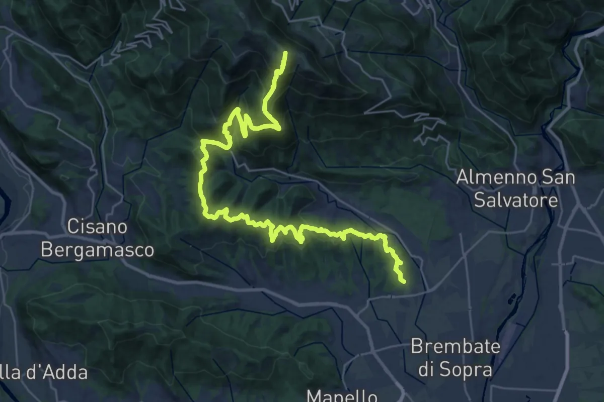
Demanding · Summit
Sentiero del Crinale
30.4 km · ↑ 1770 m · 11 h · 13 km away
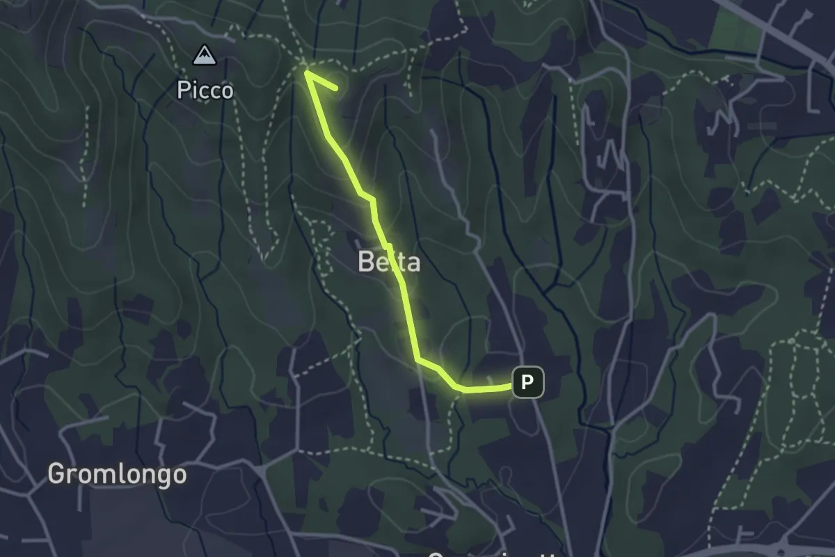
Easy · Summit
Brocchione – Secchia
2.6 km · ↑ 121 m · 53 min · 13 km away
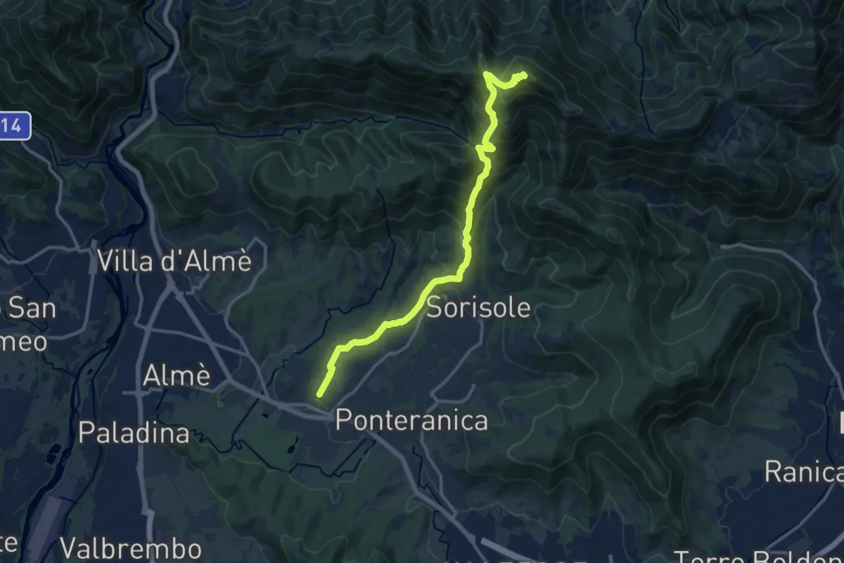
Demanding · Summit
Attacco al Canto Alto
12.5 km · ↑ 818 m · 4 h 44 min · 14 km away
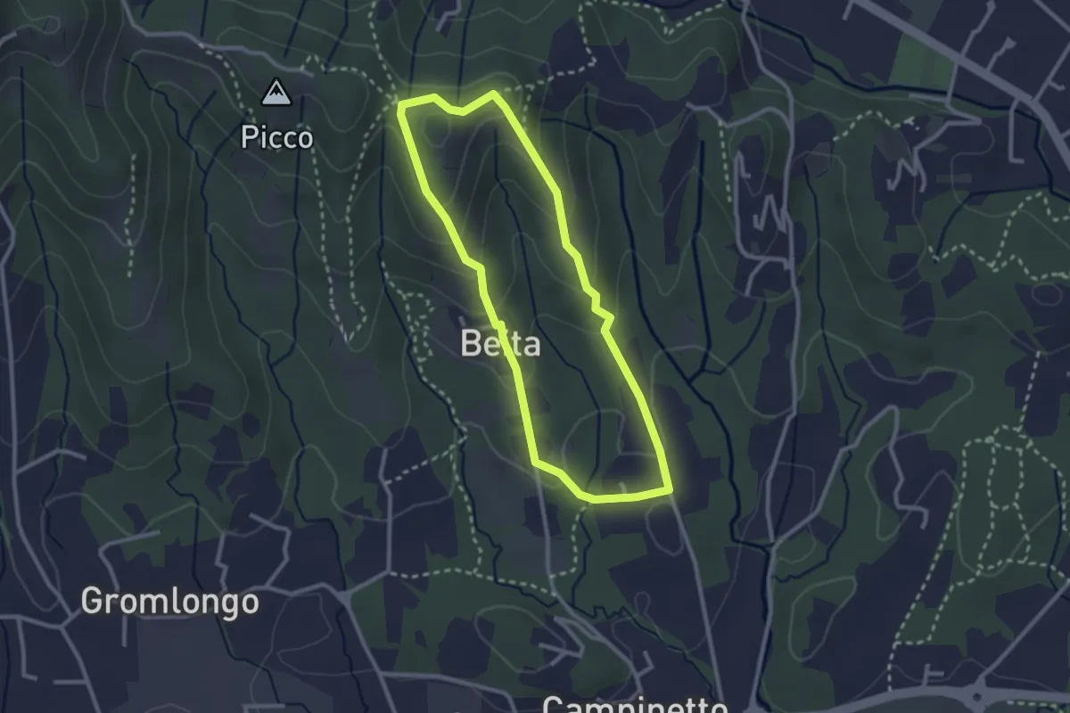
Easy · Summit
Beita - La Vena - Secchia
2.5 km · ↑ 116 m · 53 min · 14 km away
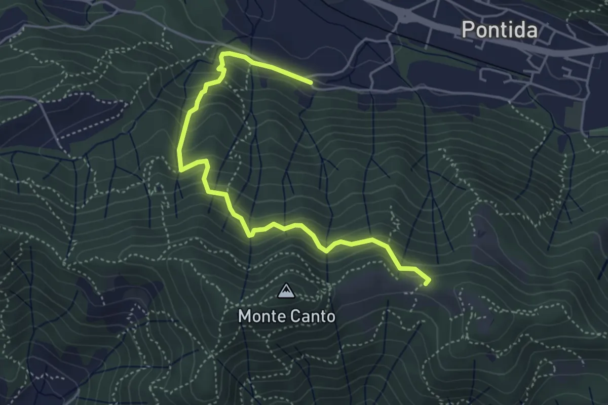
Medium · Trail
Pontida (Santuario San Giuseppe) – Il Canto (incrocio 897)
4.9 km · ↑ 429 m · 2 h 5 min · 14 km away
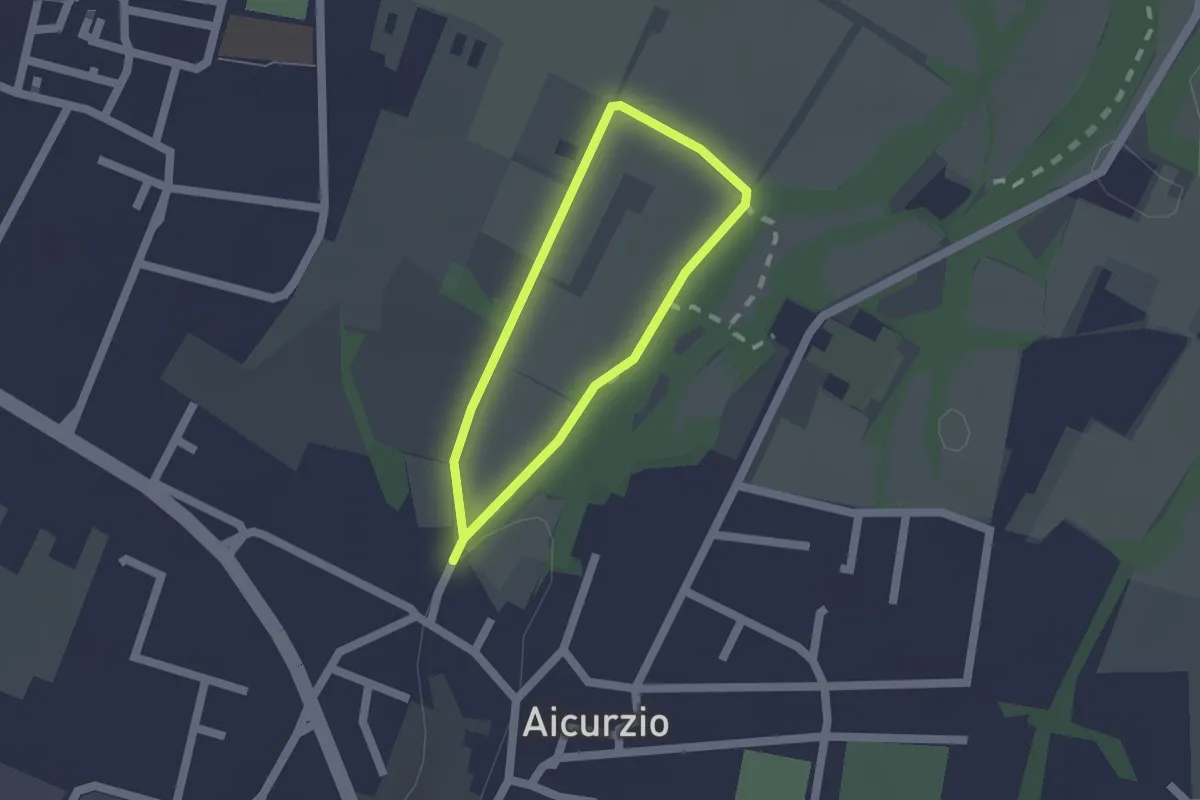
Easy · Trail
Percorso n° 8
1.2 km · ↑ 4 m · 19 min · 14 km away
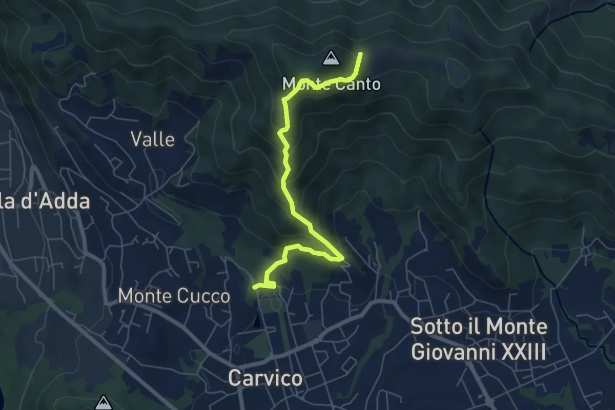
Medium · Trail
Carvico – Il Canto (incrocio 891)
5.7 km · ↑ 438 m · 2 h 18 min · 14 km away
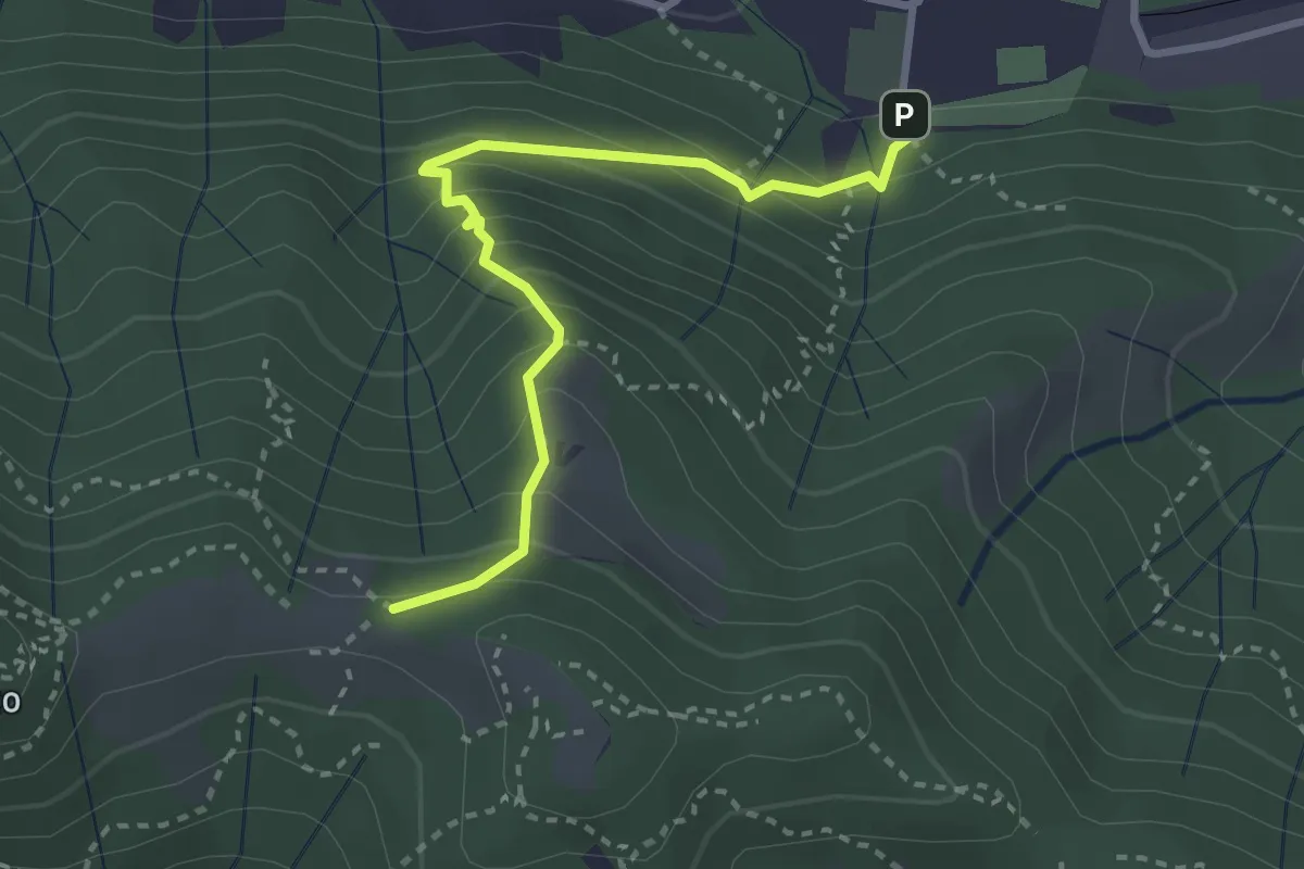
Medium · Trail
Pontida – Il Canto (incrocio 891)
3.1 km · ↑ 308 m · 1 h 23 min · 14 km away
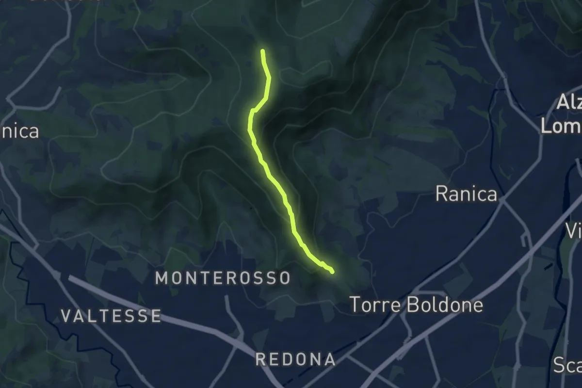
Medium · Trail
Calvarola (Bergamo) – Croce dei Morti (Ponteranica)
5.2 km · ↑ 329 m · 1 h 57 min · 14 km away
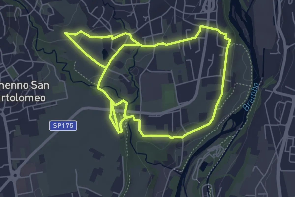
Medium · Trail
Sentiero del Romanico
10.5 km · ↑ 131 m · 2 h 45 min · 14 km away
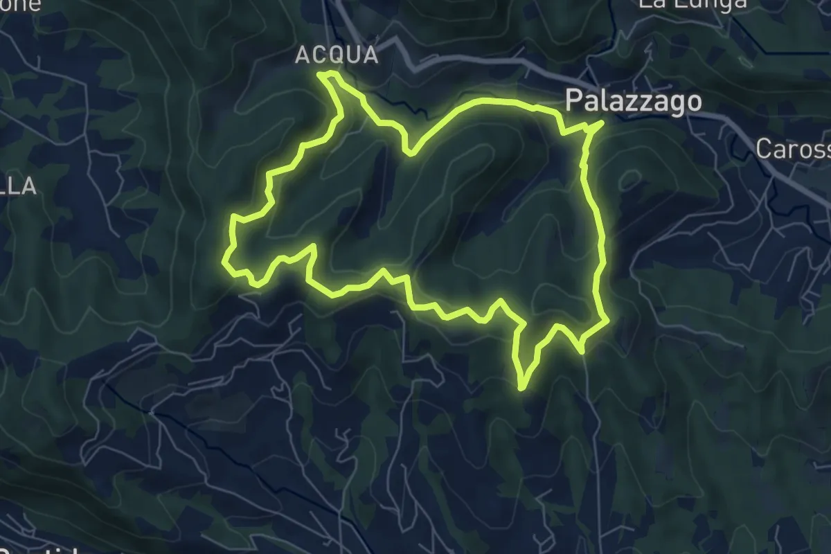
Medium · Summit
Percorso dei Pradéi
7.3 km · ↑ 344 m · 2 h 34 min · 15 km away
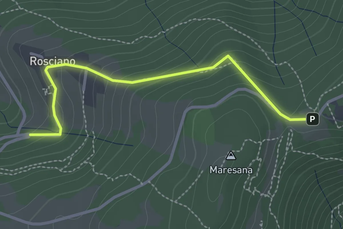
Easy · Trail
Rosciano (Ponteranica) – Maresana (Ponteranica)
2.6 km · ↑ 147 m · 55 min · 15 km away
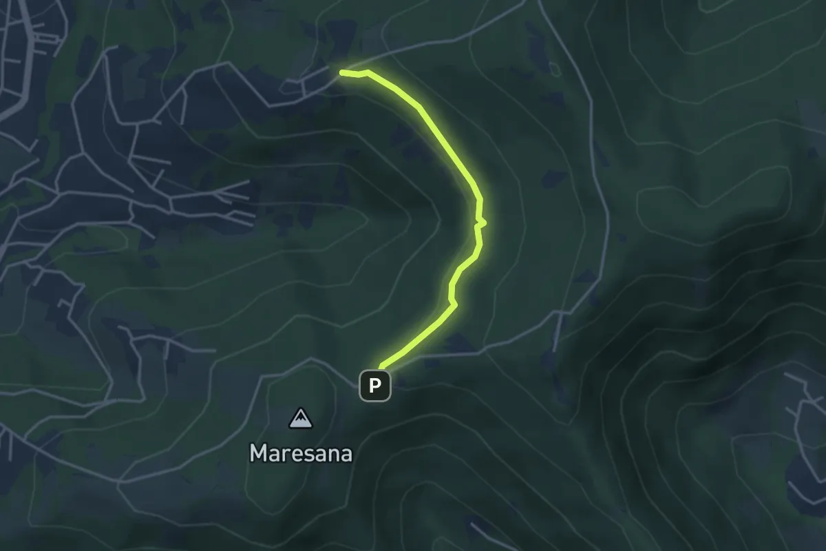
Easy · Trail
Maresana (Ponteranica) – Castello della Moretta (Ponteranica)
3.0 km · ↑ 63 m · 51 min · 15 km away
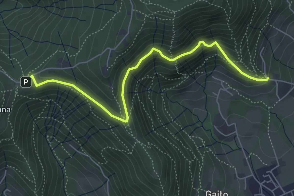
Medium · Trail
San Rocco (Ranica) – Maresana (Ponteranica)
5.4 km · ↑ 332 m · 2 h · 15 km away