Trails near Padova
17 hikes starting within 15 km, nearest first.
Nearest first
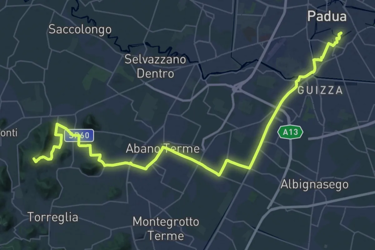
Demanding · Summit
Il Cammino di Sant'Antonio: Tappa 2.1
20.5 km · ↑ 261 m · 5 h 35 min · 1 km away
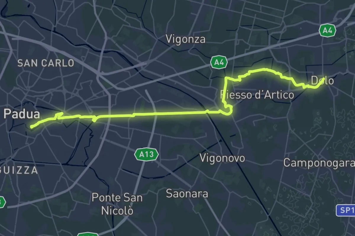
Demanding · Pilgrim path
Il Cammino di Sant'Antonio: Tappa B
20.6 km · ↑ 8 m · 5 h 11 min · 1 km away
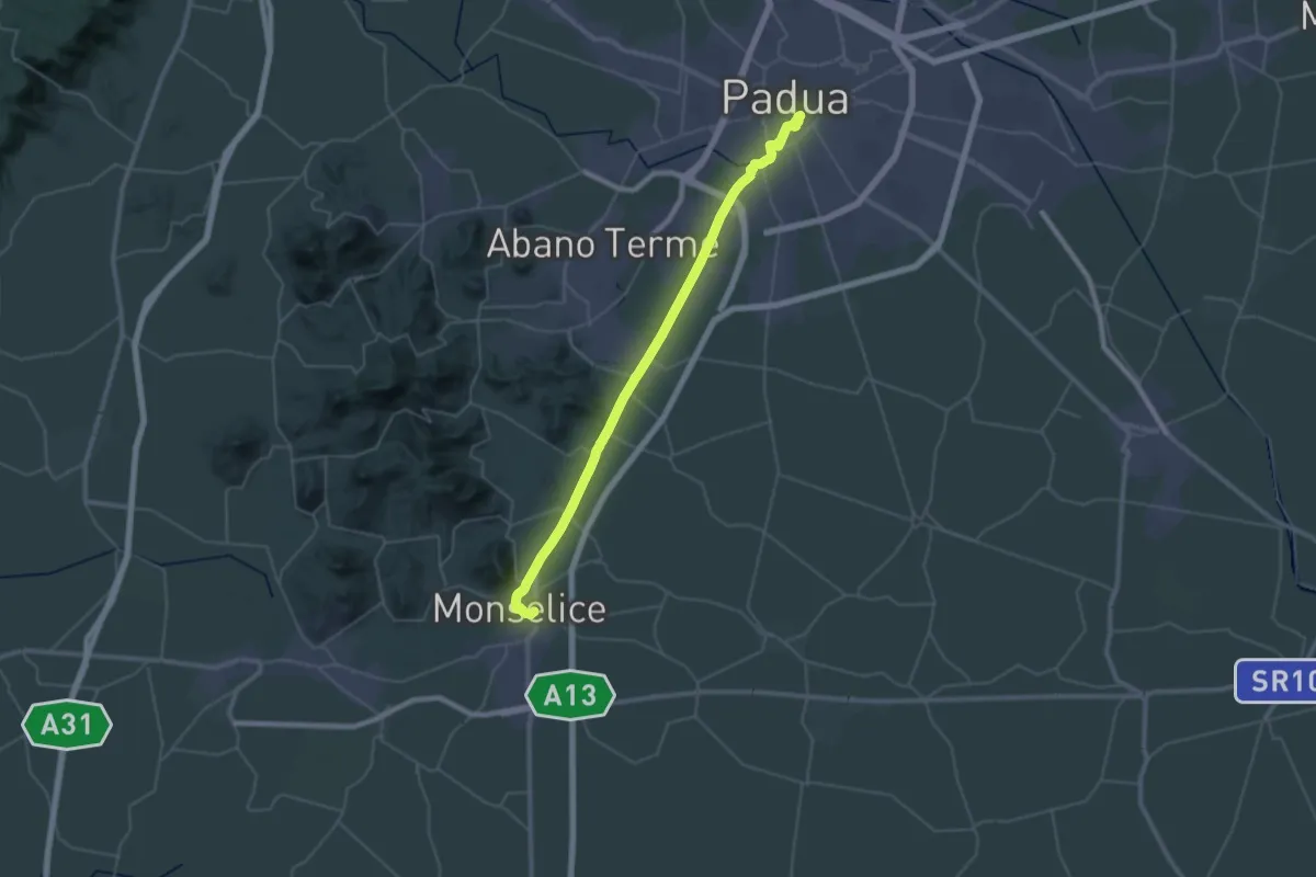
Demanding · Pilgrim path
Il Cammino di Sant'Antonio: Tappa 2
22.4 km · ↑ 85 m · 5 h 46 min · 1 km away
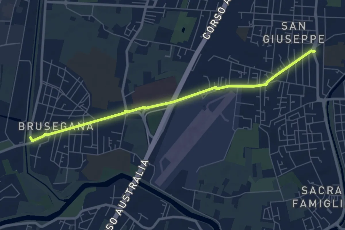
Easy · Trail
Radiale Colli
6.5 km · ↑ 0 m · 1 h 32 min · 1 km away
Easy · Trail
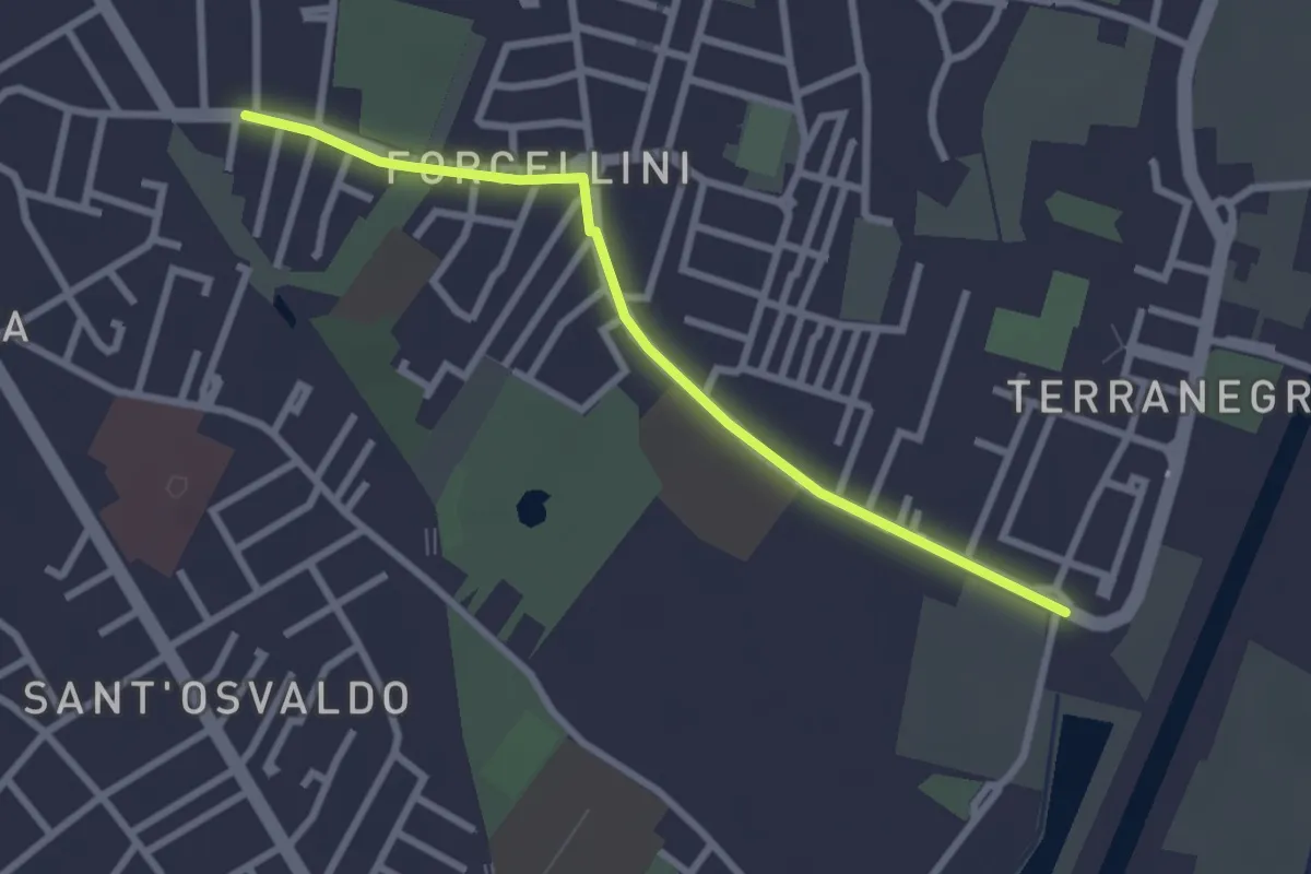
Radiale Forcellini
2.7 km · ↑ 0 m · 39 min · 2 km away
Medium · Trail
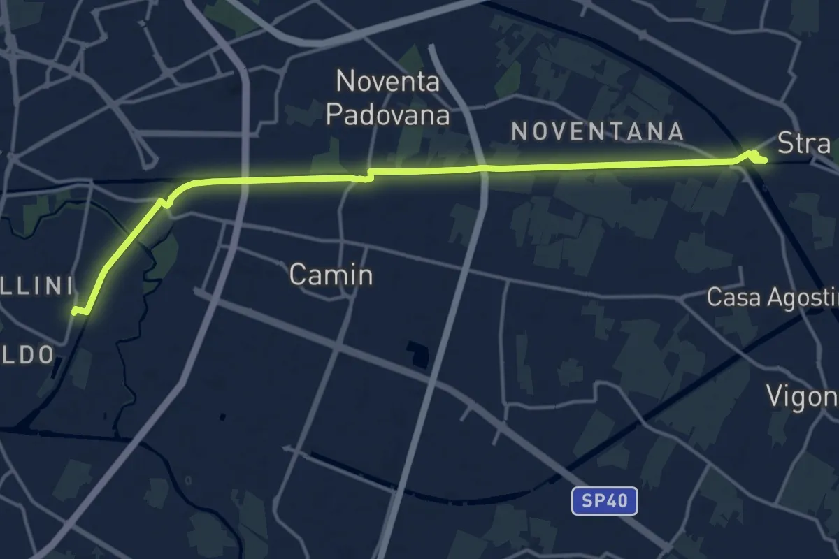
Cammino dei Giusti del Mondo
16.2 km · ↑ 4 m · 3 h 50 min · 3 km away
Easy · Summit
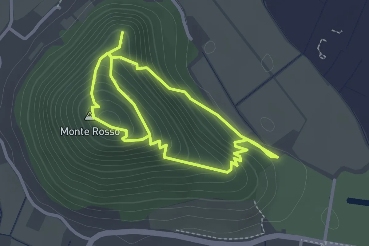
Sentiero del Monte Rosso
2.1 km · ↑ 205 m · 57 min · 10 km away
Medium · Summit
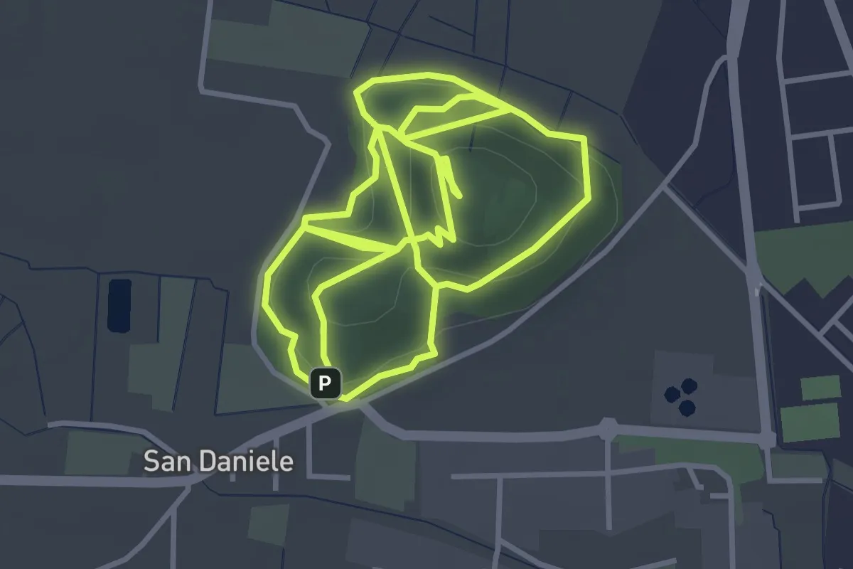
Sentiero del Monte San Daniele
4.0 km · ↑ 155 m · 1 h 19 min · 11 km away
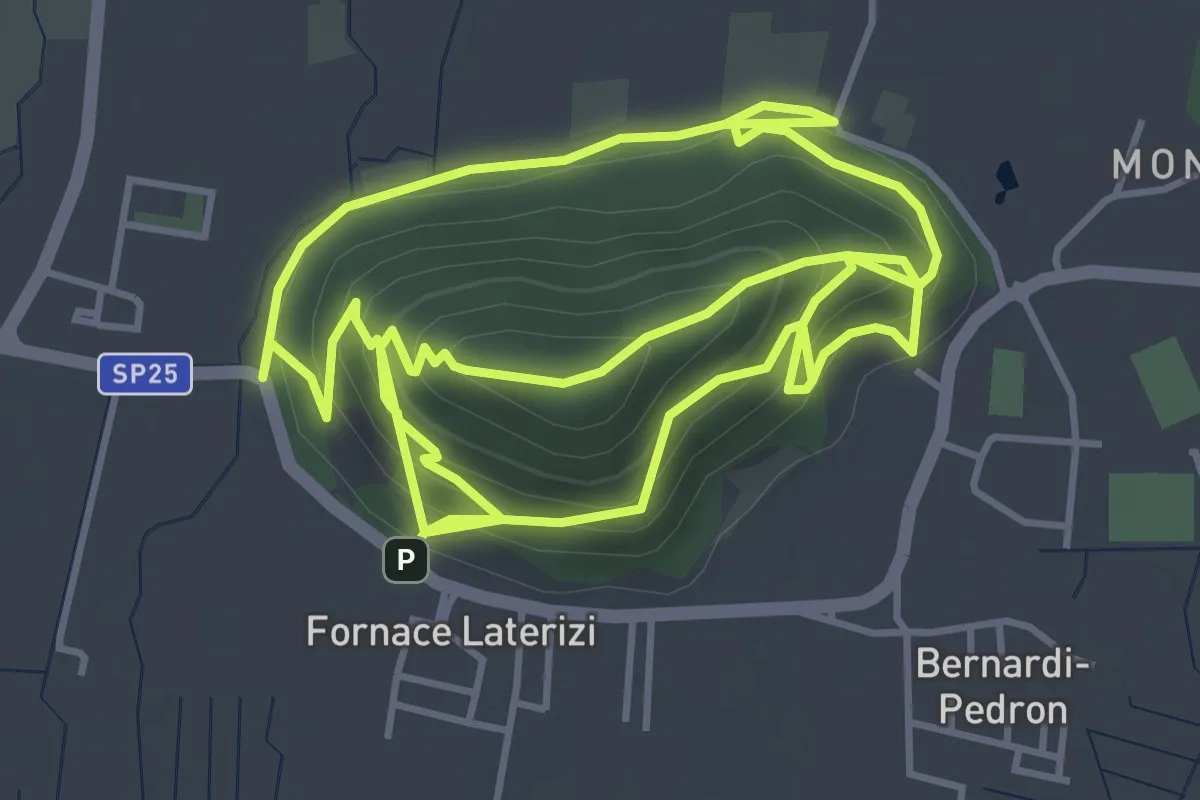
Medium · Summit
Sentiero di Monte Ortone
5.0 km · ↑ 338 m · 1 h 58 min · 12 km away
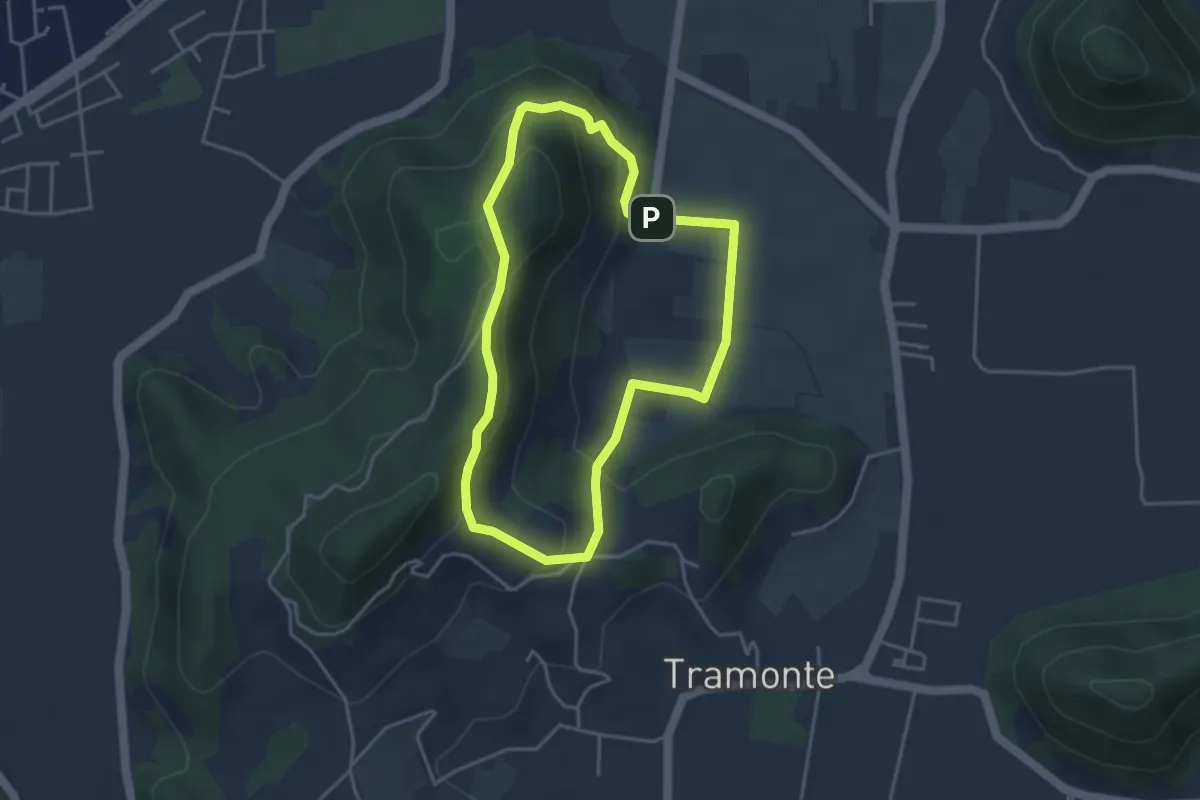
Easy · Summit
Sentiero del Giubileo
3.7 km · ↑ 183 m · 1 h 20 min · 12 km away
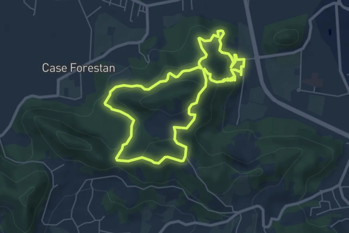
Easy · Summit
Sentiero Villa Draghi
5.4 km · ↑ 319 m · 2 h 2 min · 12 km away
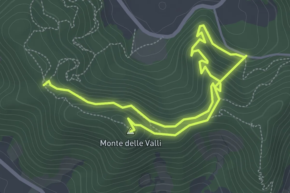
Easy · Summit
Sentiero Monte delle Valli
5.4 km · ↑ 308 m · 1 h 56 min · 15 km away
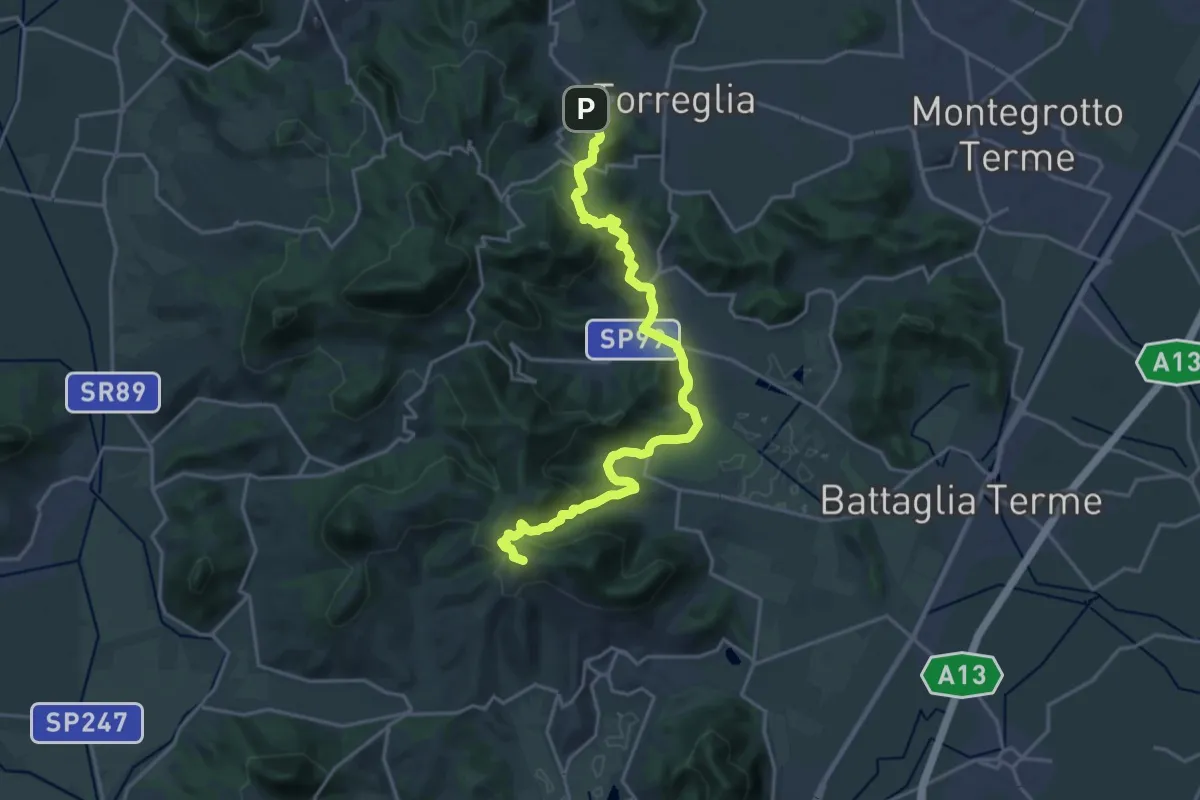
Medium · Summit
Il Cammino di Sant'Antonio: Tappa 2.2
10.9 km · ↑ 463 m · 3 h 36 min · 15 km away
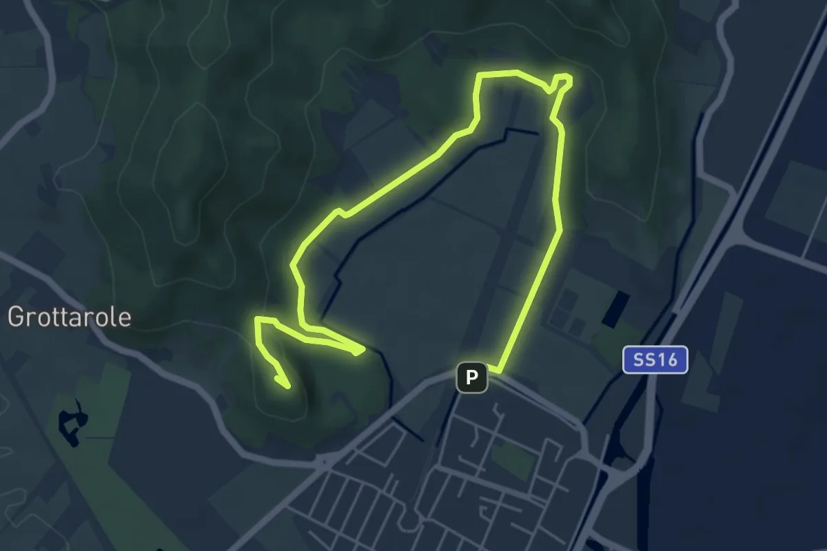
Medium · Summit
Sentiero Ferro di Cavallo
7.6 km · ↑ 168 m · 2 h 10 min · 15 km away
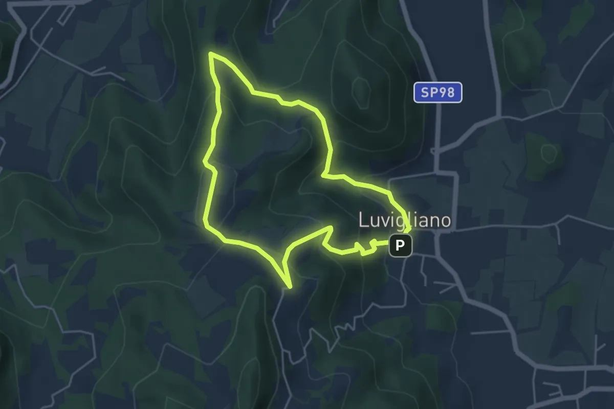
Easy · Trail
Antichi sentieri sopra Luvigliano
4.0 km · ↑ 233 m · 1 h 30 min · 15 km away
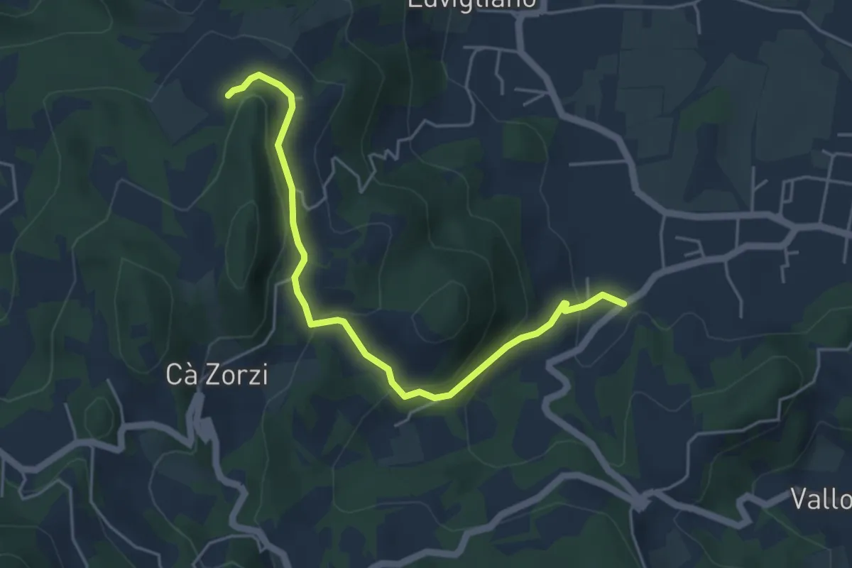
Easy · Trail
Allacciante "B" da Torreglia
4.8 km · ↑ 223 m · 1 h 37 min · 15 km away
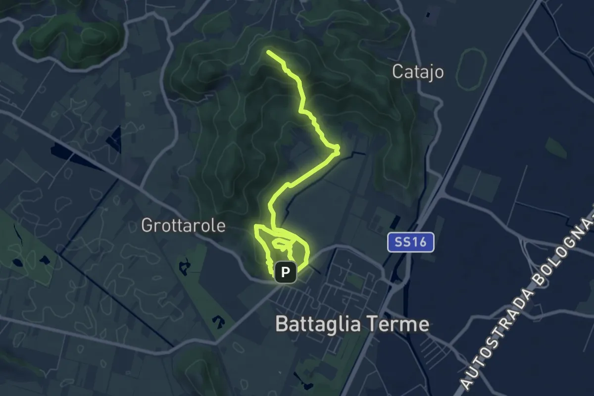
Expert · Summit
Sentiero Cava Monte Croce Sentiero delle Creste
9.6 km · ↑ 431 m · 3 h 12 min · 15 km away