Trails near Palazzolo sull'Oglio
58 hikes starting within 15 km, nearest first.
Nearest first, page 1 of 2
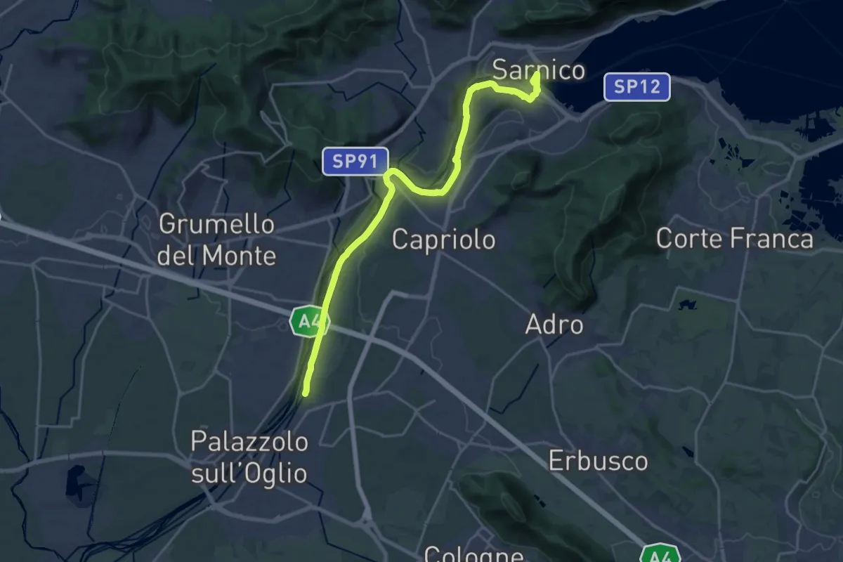
Demanding · Trail
Sentiero Verde dell'Oglio
21.0 km · ↑ 317 m · 5 h 39 min · 2 km away
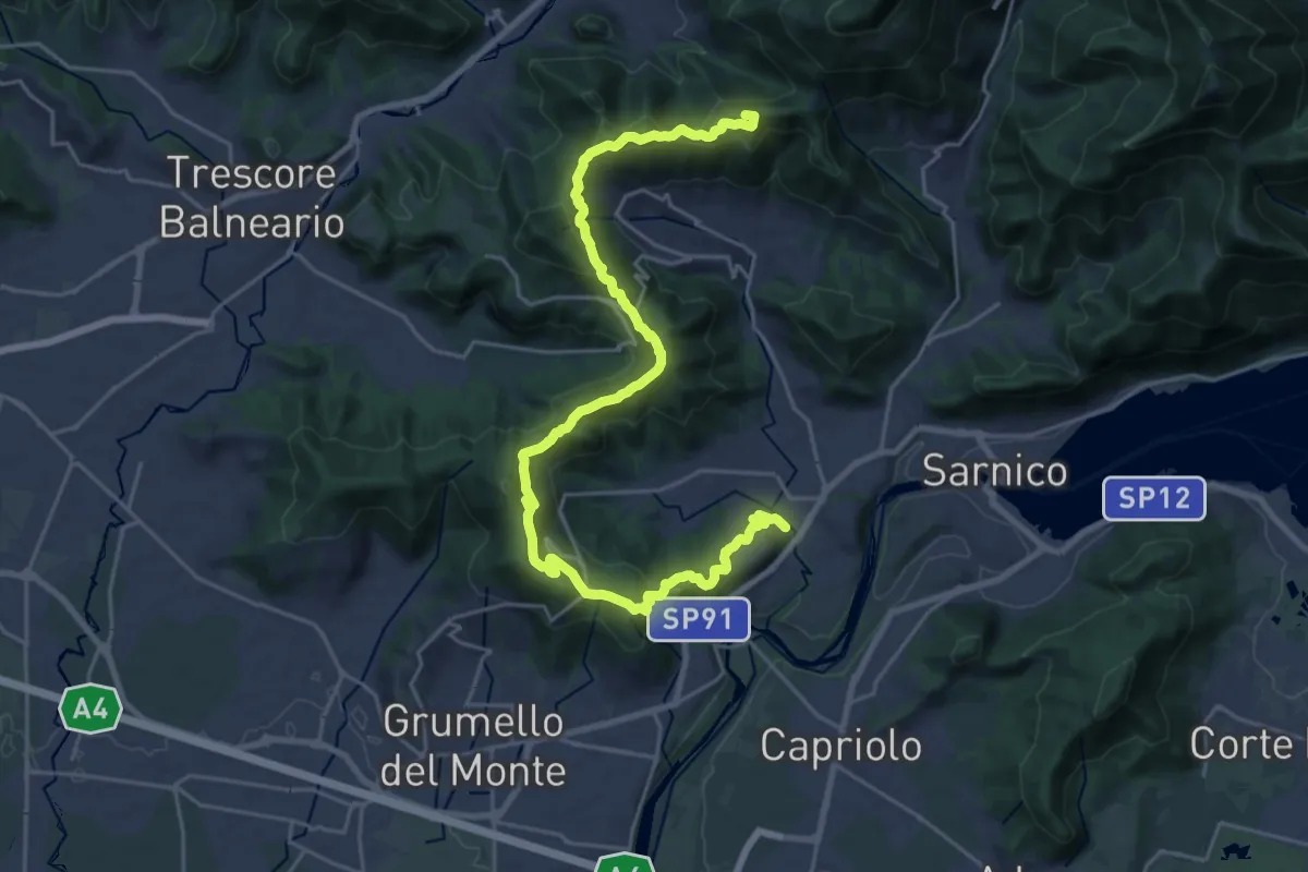
Demanding · Summit
Sentiero tra i monti e il lago - Tappa 1
28.2 km · ↑ 1238 m · 9 h 20 min · 8 km away
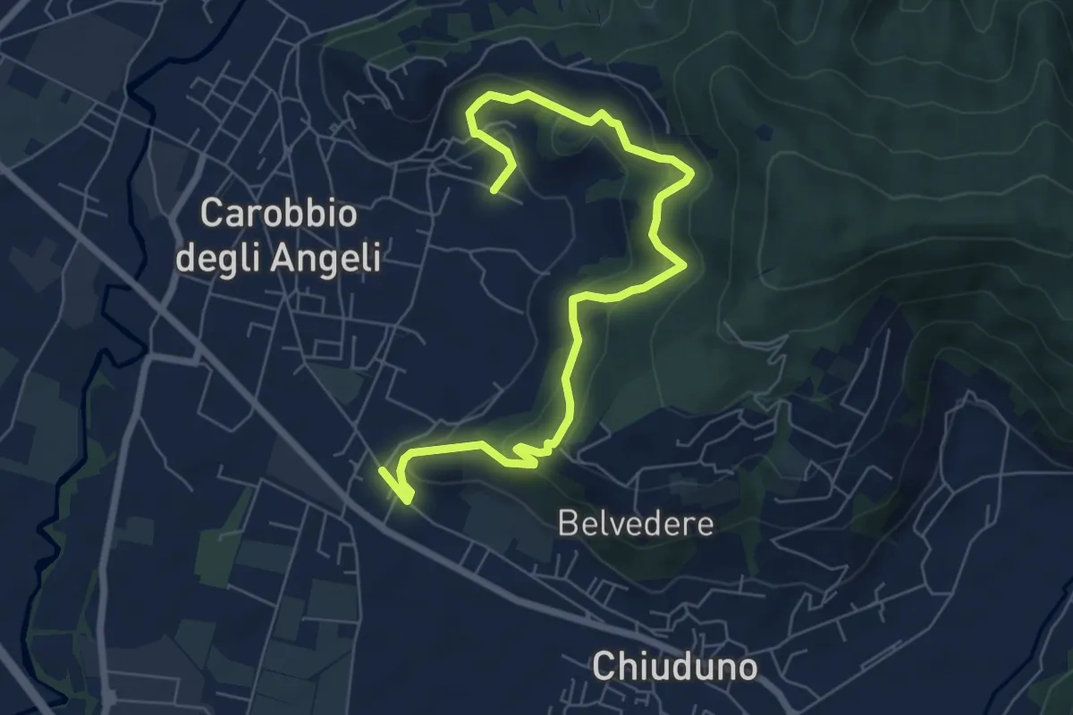
Medium · Trail
Cicola – Santo Stefano
7.8 km · ↑ 443 m · 2 h 49 min · 8 km away
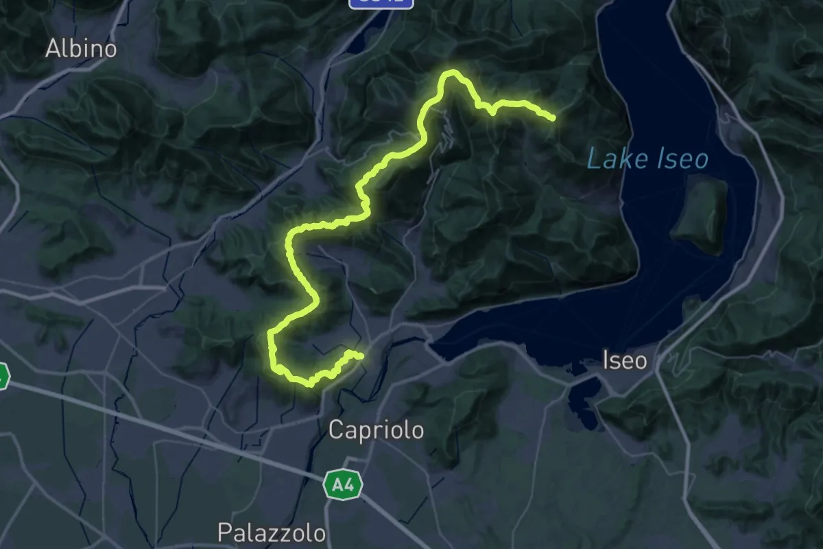
Demanding · Summit
Sentiero Flavio Tasca - Tappa 1
54.4 km · ↑ 2600 m · 18 h 29 min · 8 km away
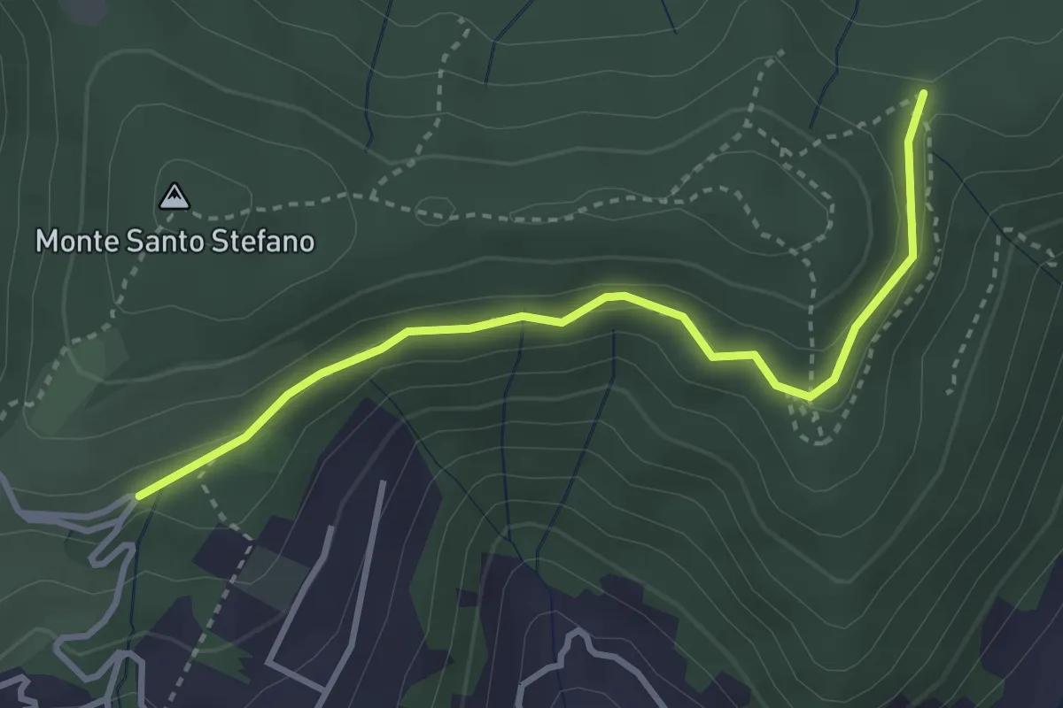
Medium · Trail
Cascina Pedrini – Boca di senter
3.4 km · ↑ 120 m · 1 h 4 min · 8 km away
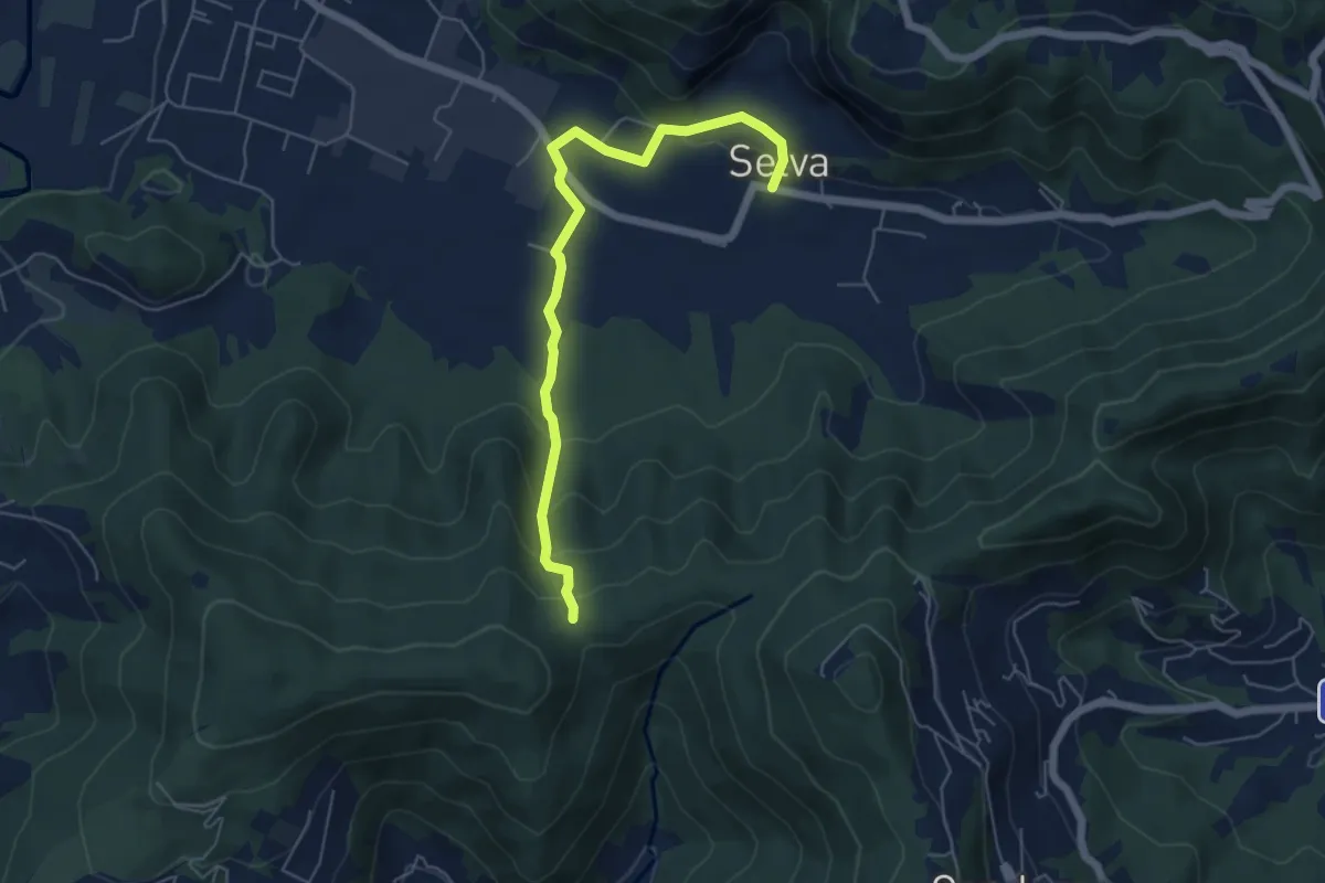
Easy · Trail
Selva – Boca di senter
5.8 km · ↑ 261 m · 1 h 56 min · 8 km away
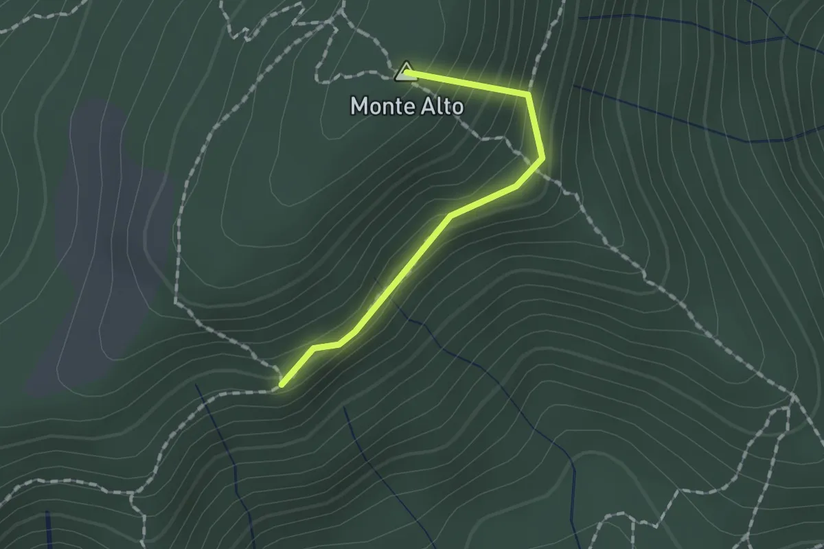
Easy · Summit
Sentiero Traversante
1.3 km · ↑ 126 m · 35 min · 8 km away
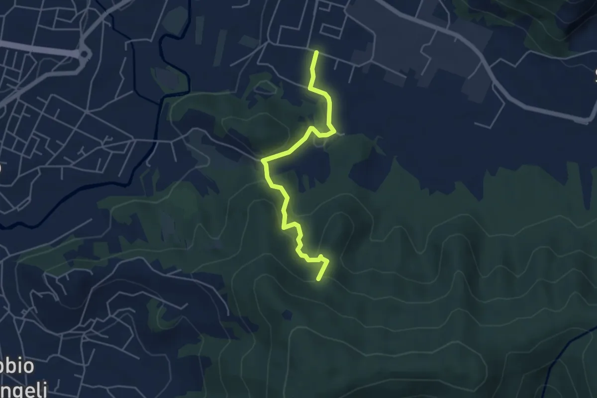
Easy · Trail
Zandobbio – Incrocio 650
4.4 km · ↑ 193 m · 1 h 27 min · 8 km away
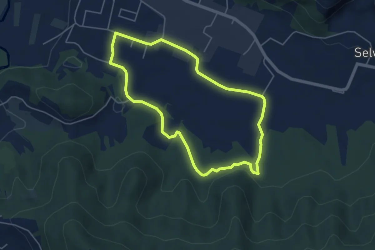
Easy · Trail
San Giorgio (Zandobbio) – San Giorgio (Zandobbio)
3.8 km · ↑ 48 m · 1 h 3 min · 8 km away
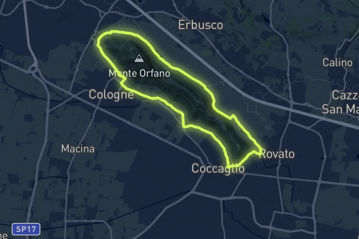
Medium · Trail
Rovato Chiesa S. Stefano – Rovato Chiesa S. Stefano
12.9 km · ↑ 158 m · 3 h 34 min · 9 km away
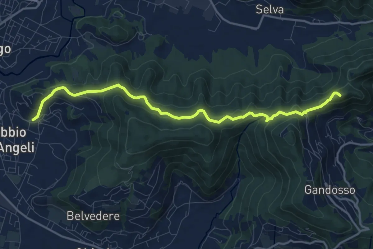
Medium · Summit
Carobbio degli Angeli – San Giovanni delle Formiche
10.6 km · ↑ 442 m · 3 h 27 min · 9 km away
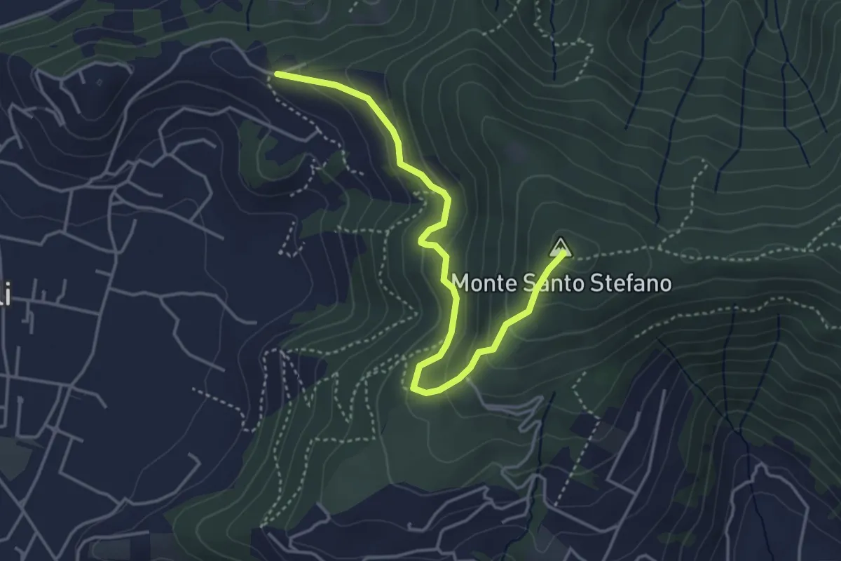
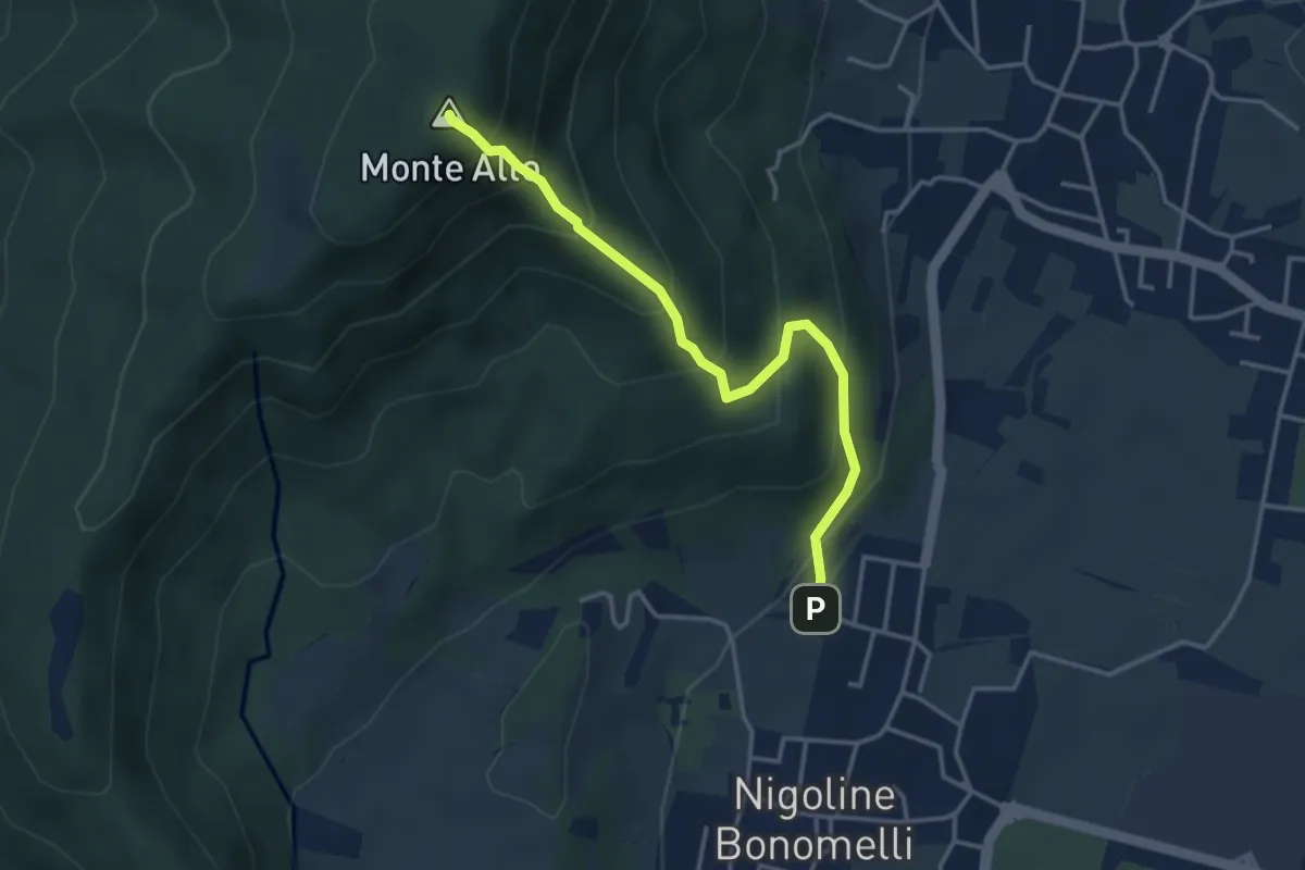
Medium · Summit
Duria – Boca di senter
4.3 km · ↑ 266 m · 1 h 35 min · 9 km away
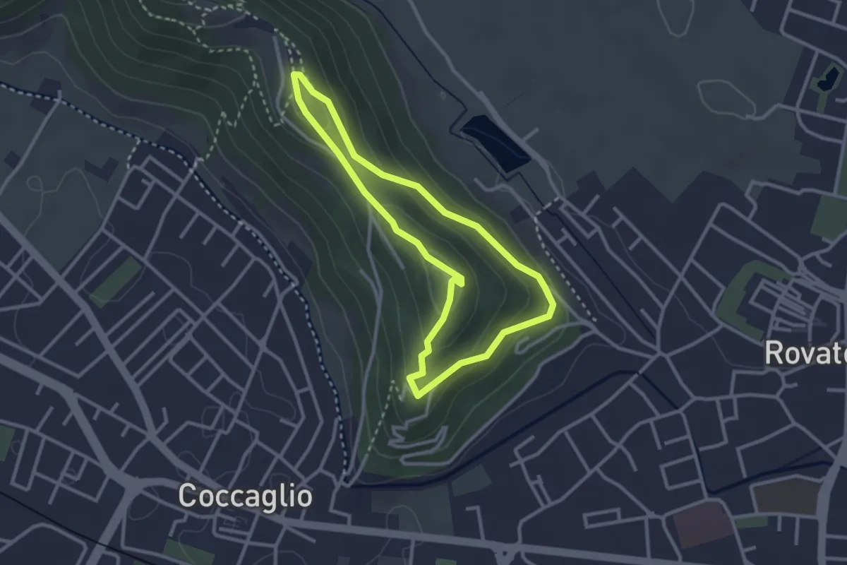
Medium · Summit
Sentiero della Scala Santa
3.7 km · ↑ 398 m · 1 h 44 min · 9 km away
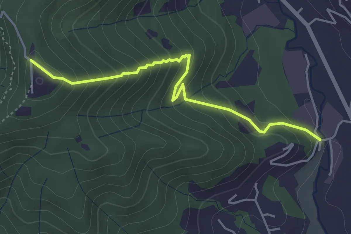
Medium · Trail
Rovato Via Monte Orfano – Rovato Via Monte Orfano
2.7 km · ↑ 135 m · 58 min · 9 km away
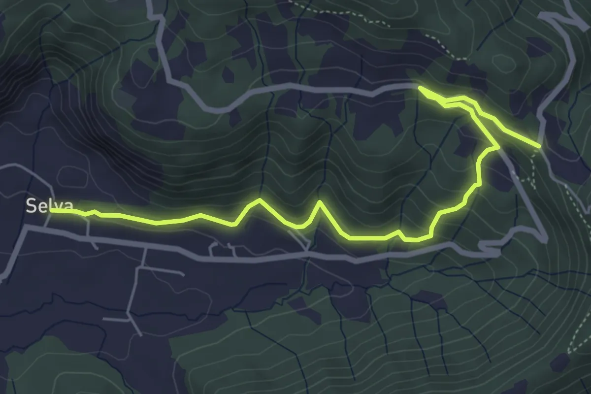
Medium · Trail
Fornace – San Giovanni delle Formiche
3.8 km · ↑ 345 m · 1 h 38 min · 9 km away
Medium · Trail
Selva – Colle San Giovanni
6.1 km · ↑ 362 m · 2 h 14 min · 9 km away
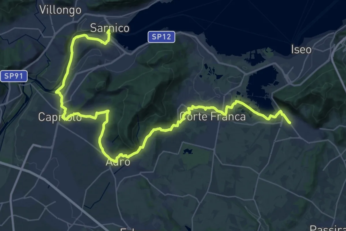
Demanding · Pilgrim path
La Via delle Sorelle - Tappa 3
18.9 km · ↑ 335 m · 5 h 26 min · 9 km away
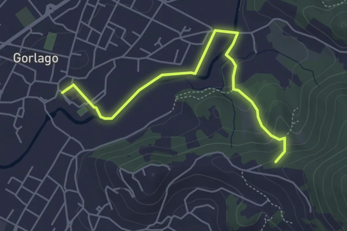
Easy · Trail
Gorlago – Incrocio 650
4.7 km · ↑ 115 m · 1 h 22 min · 9 km away
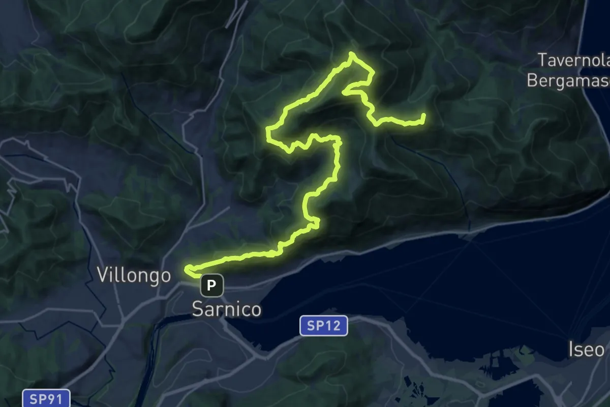
Demanding · Summit
Sentiero tra i monti e il lago - Tappa 3
29.8 km · ↑ 2339 m · 12 h 6 min · 10 km away
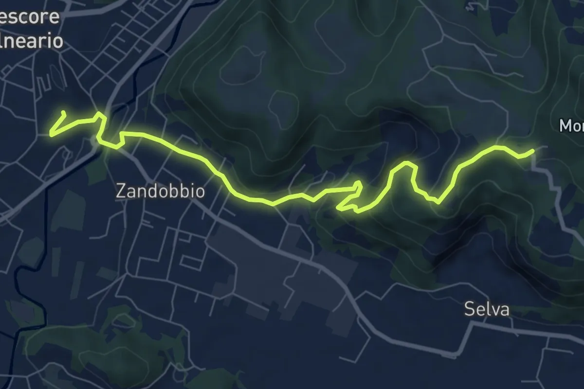
Medium · Trail
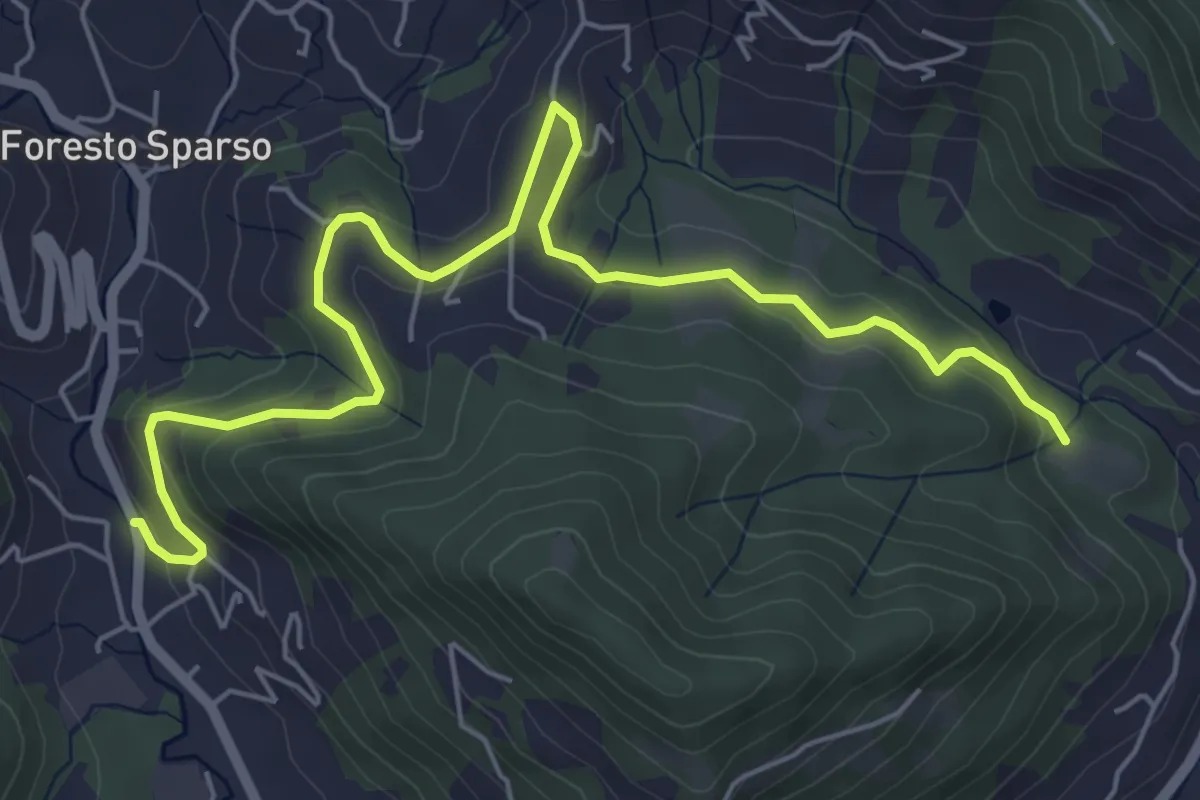
Trescore Balneario – Buca del Corno
8.6 km · ↑ 380 m · 2 h 52 min · 10 km away
Easy · Trail
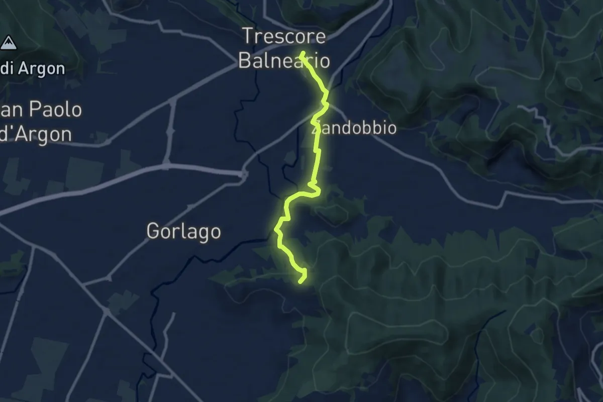
L'Immacolata – Dosso dell'Era
7.0 km · ↑ 215 m · 2 h 8 min · 11 km away
Easy · Trail
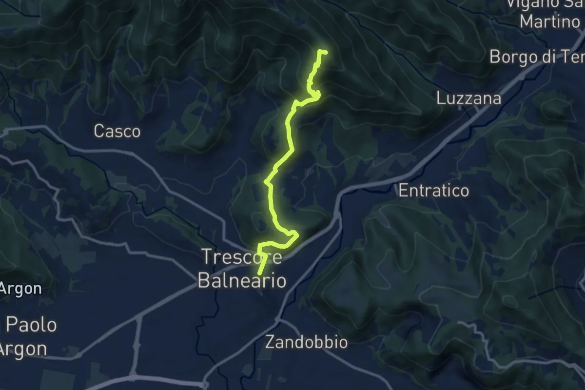
Trescore Balneario – Carobbio degli Angeli (incrocio 650)
7.6 km · ↑ 174 m · 2 h 10 min · 11 km away
Medium · Summit
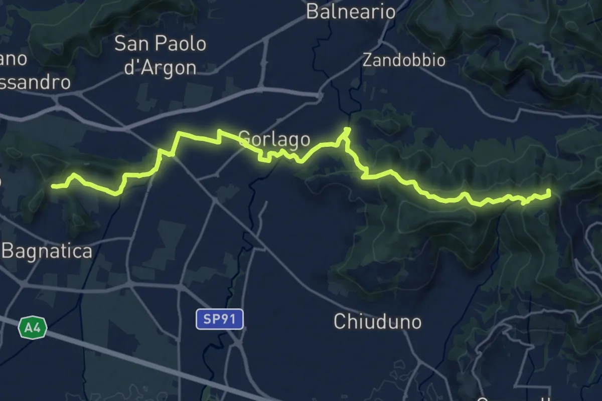
Trescore Balneario – Pizzo Casgnola
8.8 km · ↑ 574 m · 3 h 19 min · 11 km away
Medium · Summit
La Via delle Sorelle - Tappa 4
11.1 km · ↑ 373 m · 3 h 28 min · 11 km away
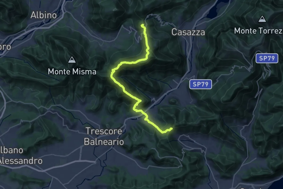
Demanding · Summit
Sentiero Flavio Tasca - Tappa 8
22.8 km · ↑ 1433 m · 8 h 29 min · 11 km away
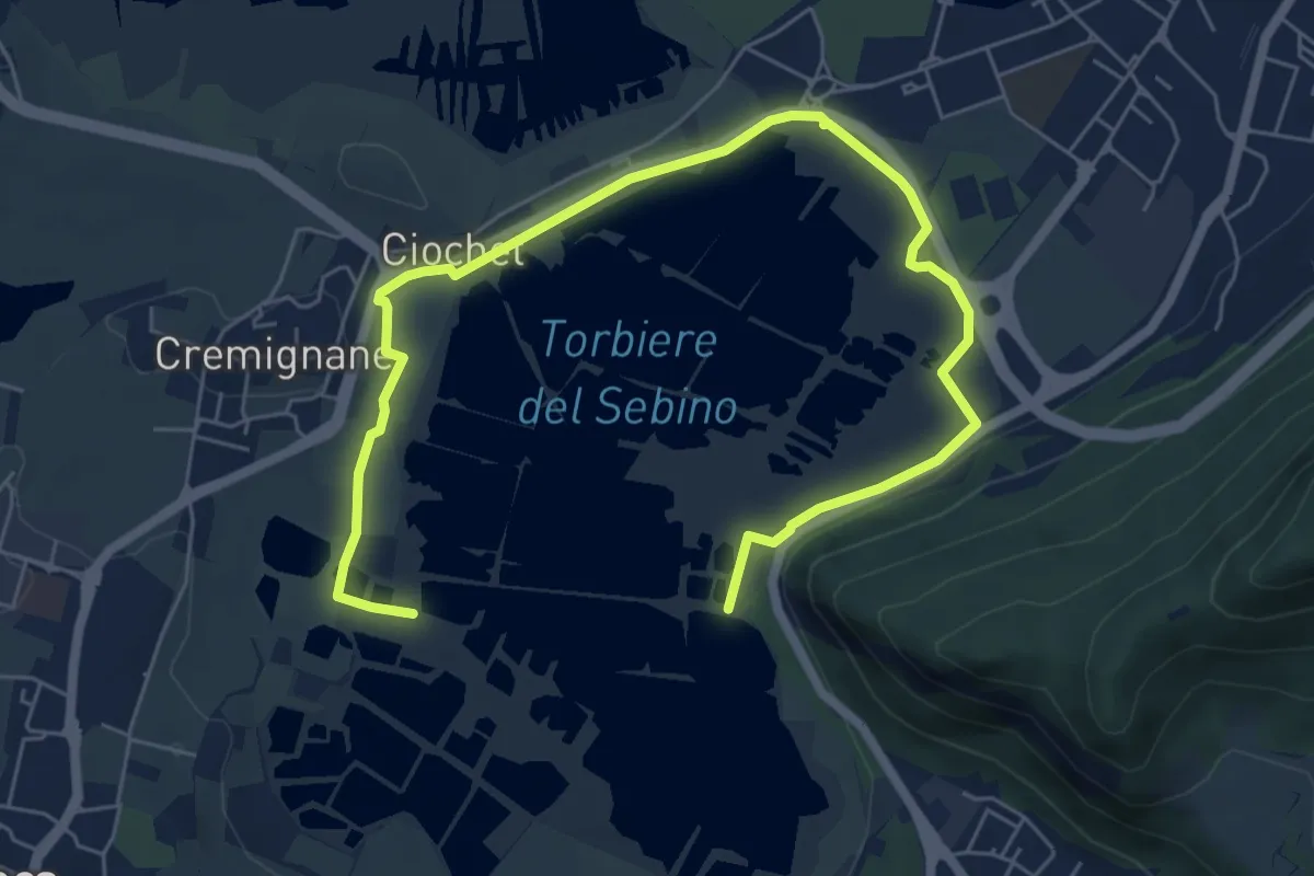
Medium · Trail
Percorso Pedonale Nord
8.5 km · ↑ 18 m · 2 h 3 min · 12 km away
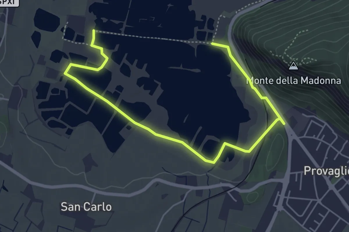
Easy · Trail
Percorso Pedonale Sud
6.4 km · ↑ 61 m · 1 h 39 min · 12 km away
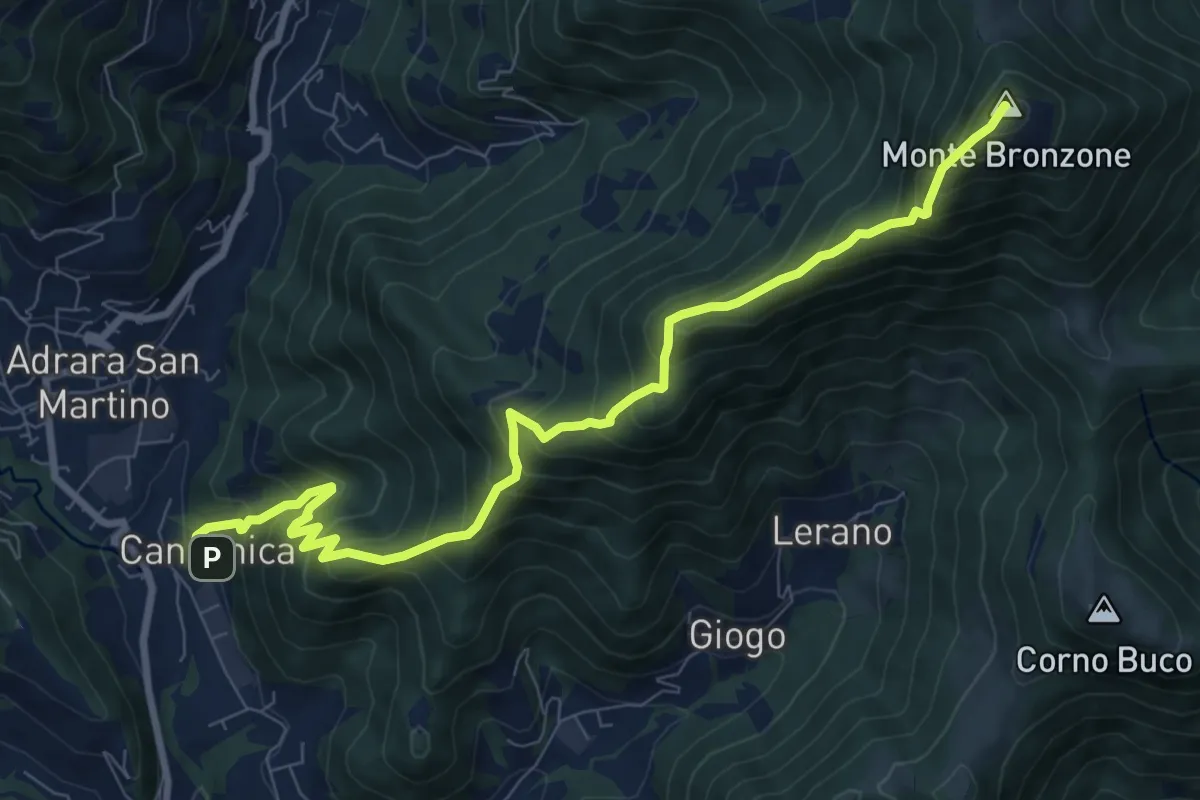
Demanding · Summit
Canzanica (Adrara San Martino) – Monte Bronzone
9.7 km · ↑ 1041 m · 4 h 33 min · 12 km away
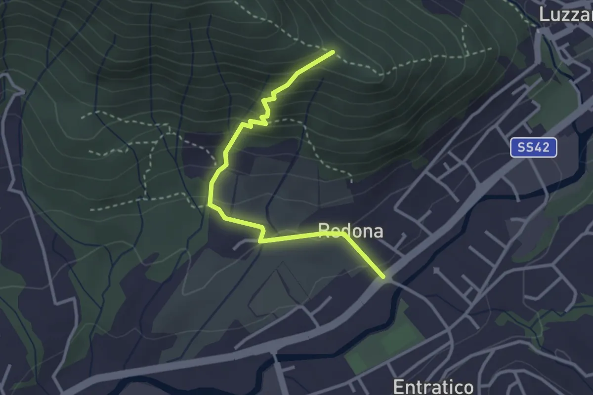
Medium · Trail
Redona (Entratico) – Costa del Colle (incrocio 611)
2.9 km · ↑ 245 m · 1 h 13 min · 12 km away
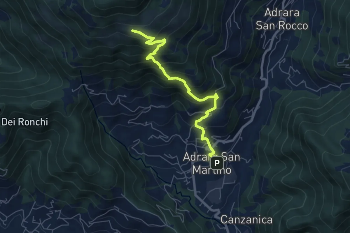
Medium · Cabin
Adrara San Martino – Fienili di Gaiana
6.0 km · ↑ 598 m · 2 h 43 min · 12 km away
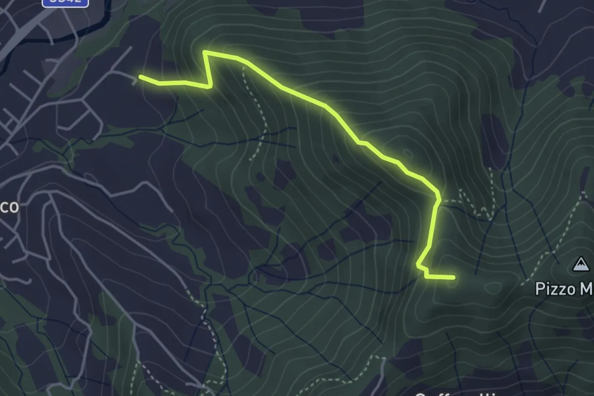
Medium · Summit
Maico (Entratico) – Il Casino (Foresto Sparso)
3.7 km · ↑ 394 m · 1 h 44 min · 12 km away
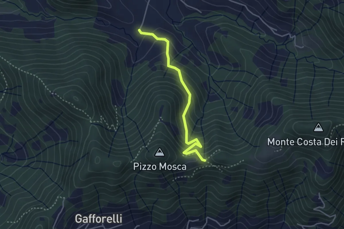
Medium · Trail
Cascina Barberino – Pizzo Mosca (Foresto Sparso)
3.2 km · ↑ 313 m · 1 h 26 min · 13 km away
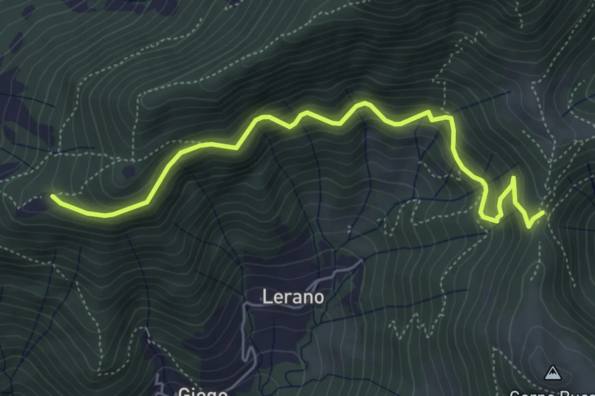
Medium · Trail
Incrocio 719 – Colle di Oregia
5.6 km · ↑ 536 m · 2 h 29 min · 13 km away
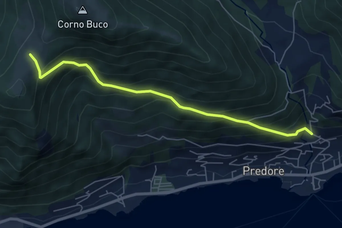
Medium · Trail
Predore – Colle Cambline
5.3 km · ↑ 504 m · 2 h 20 min · 13 km away
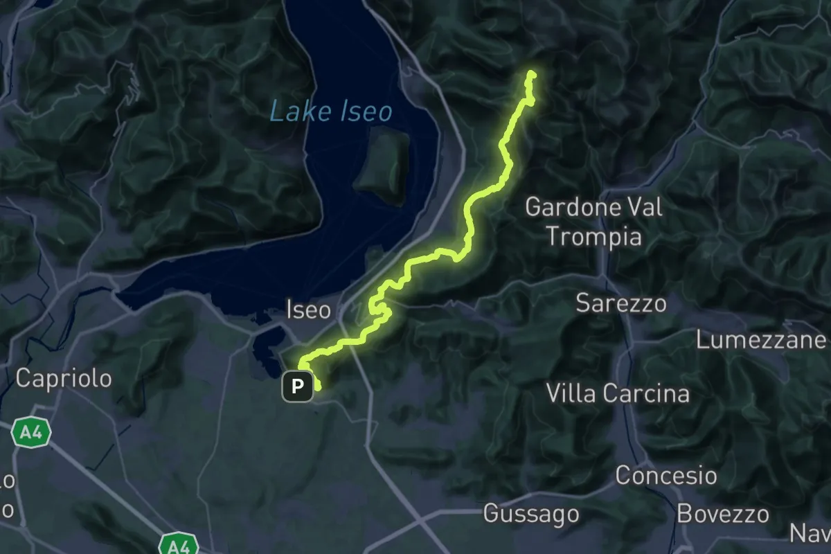
Demanding · Summit
Proai Gölem
44.7 km · ↑ 2342 m · 15 h 38 min · 13 km away
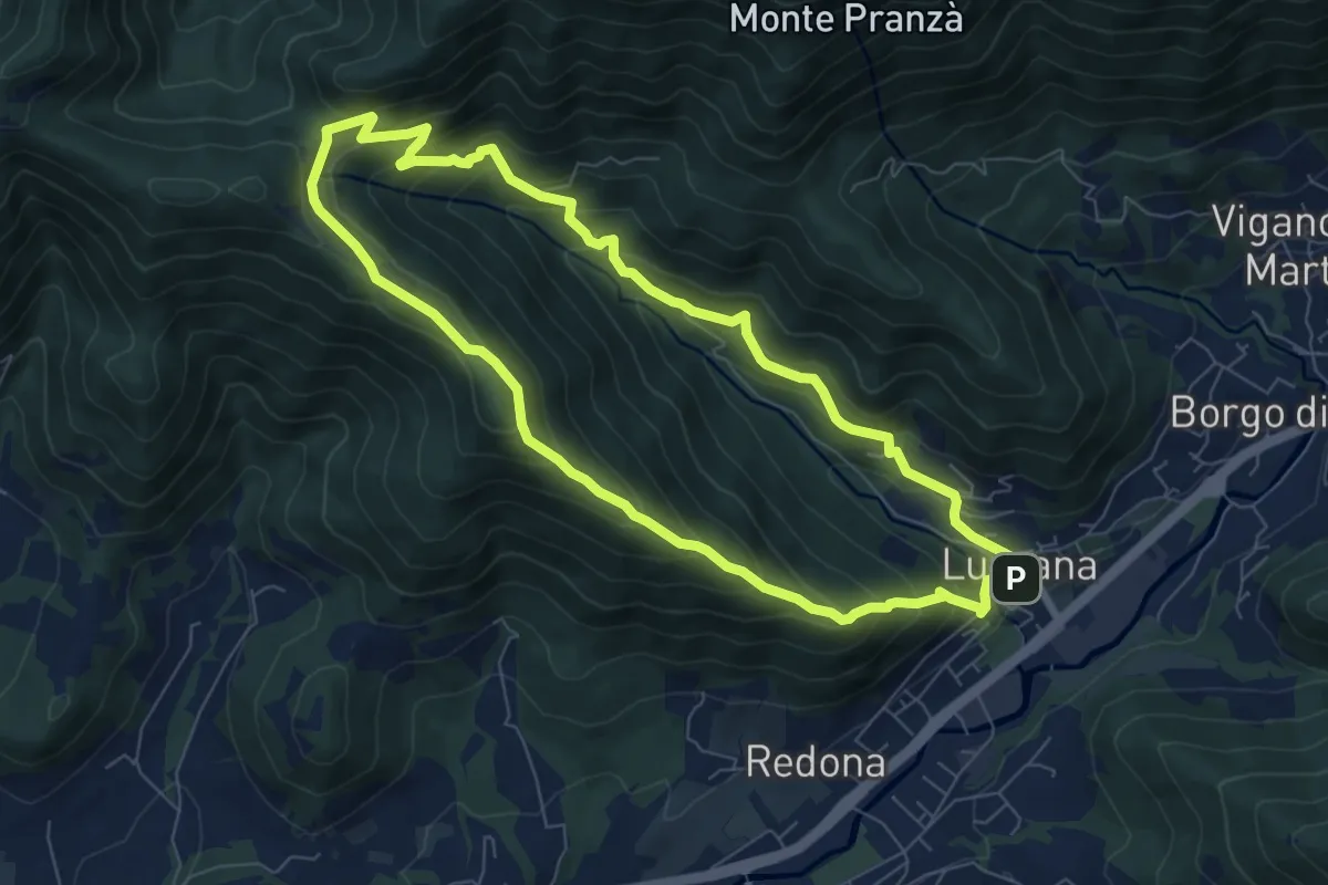
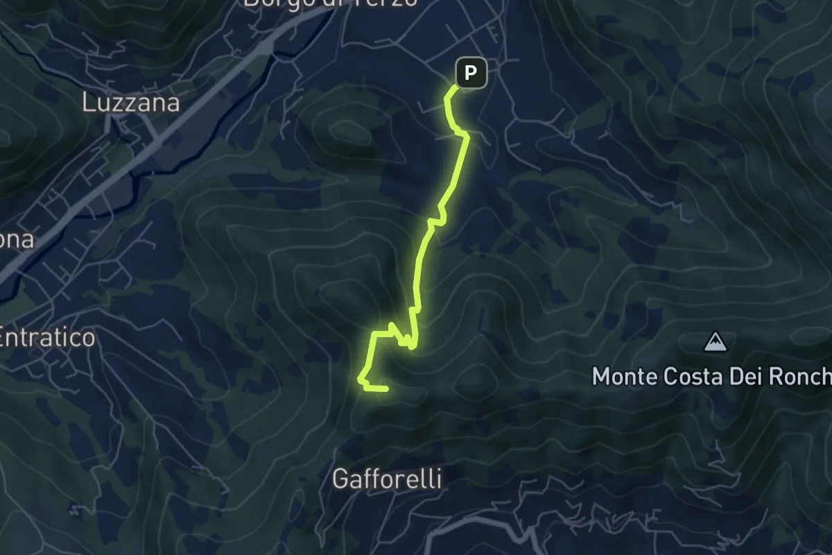
Medium · Summit
Luzzana – Luzzana
7.3 km · ↑ 506 m · 2 h 55 min · 13 km away
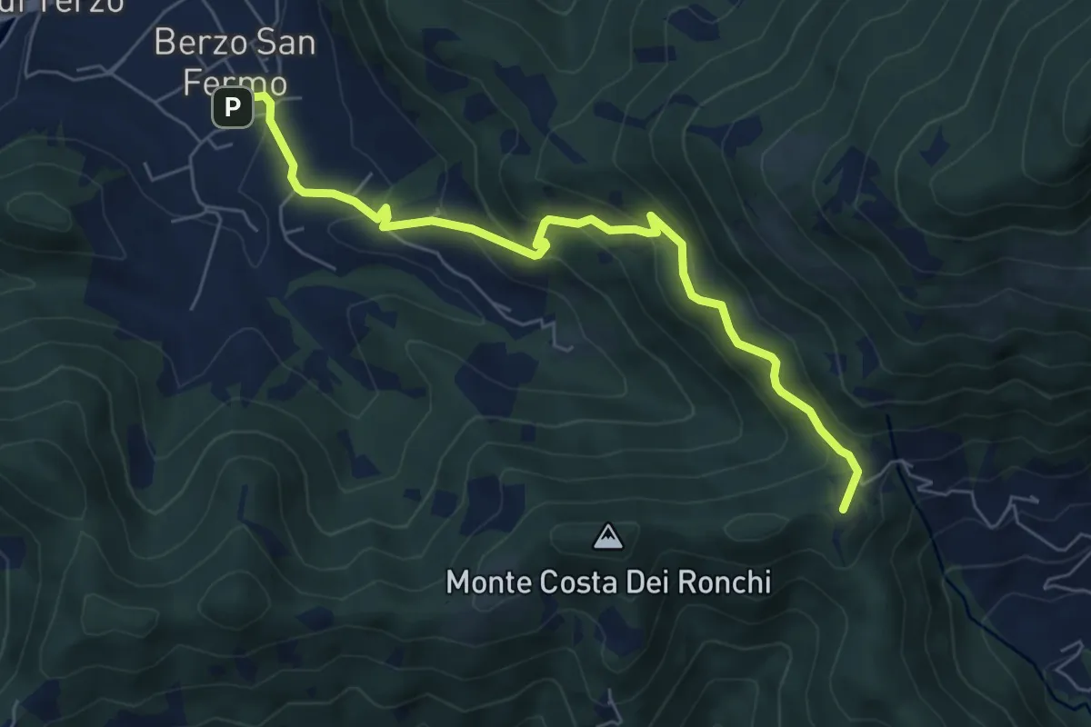
Medium · Summit
Berzo San Fermo – Il Casino
4.8 km · ↑ 328 m · 1 h 51 min · 13 km away
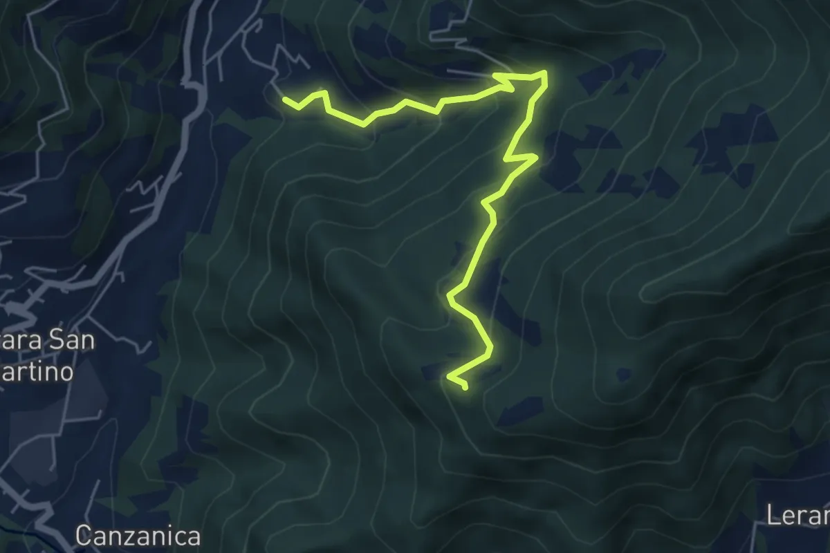
Medium · Summit
Berzo San Fermo – Col Croce
6.6 km · ↑ 444 m · 2 h 31 min · 13 km away
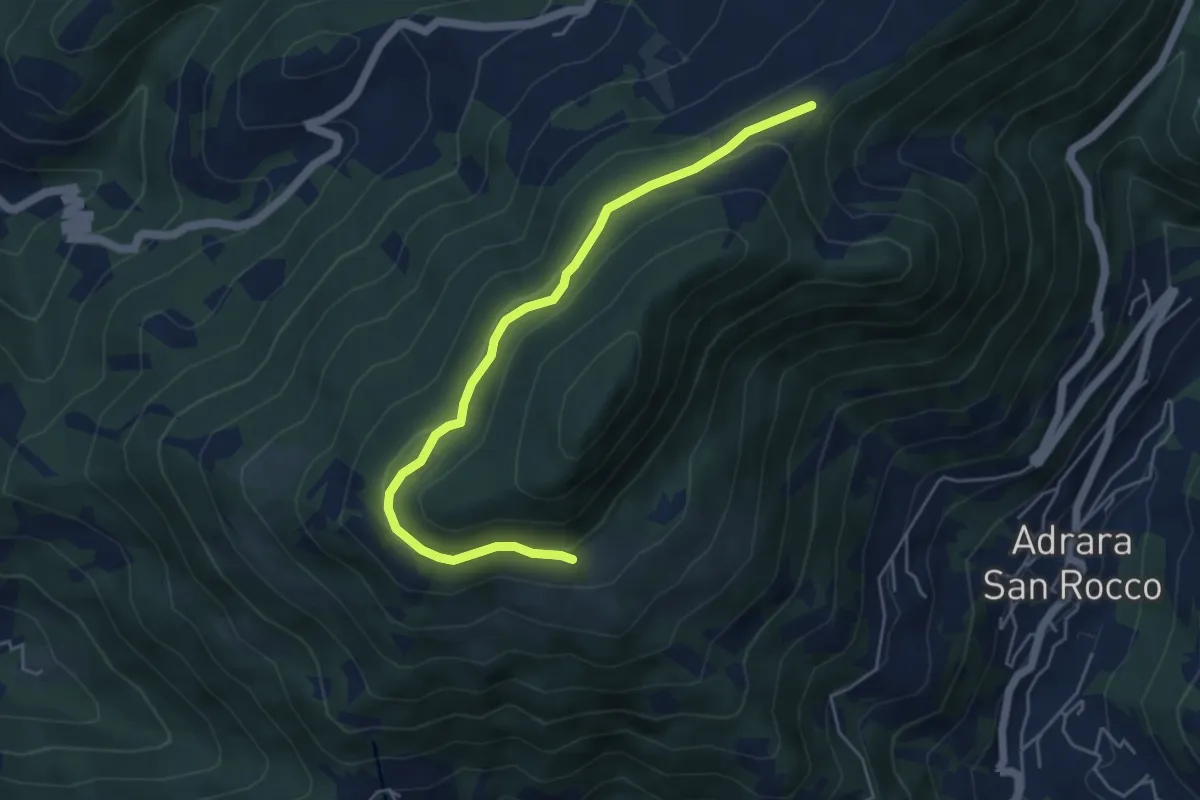
Medium · Trail
Madonna del Monte Uliveto (Adrara San Martino) – Incrocio 701
5.3 km · ↑ 391 m · 2 h 6 min · 13 km away
Medium · Trail
Incrocio 717 – Incrocio 717
5.2 km · ↑ 198 m · 1 h 39 min · 13 km away
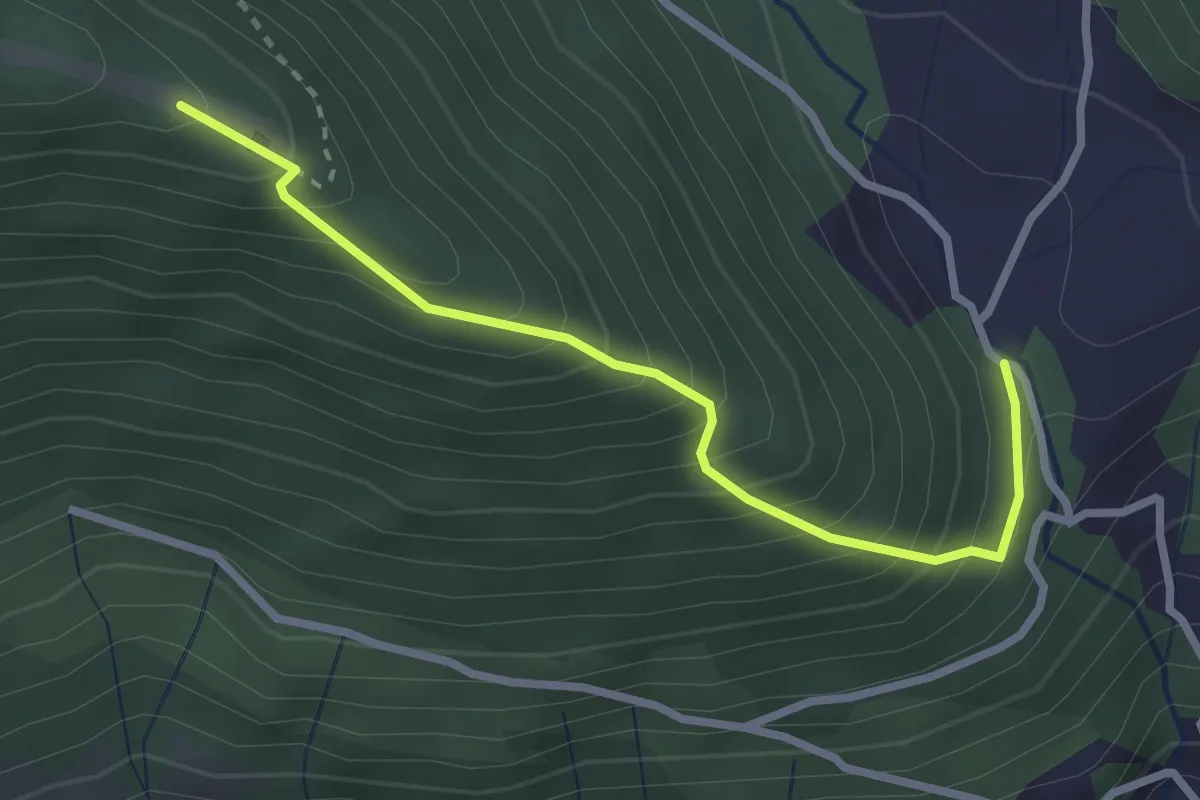
Medium · Trail
San Gregorio (incrocio 708) – Casello Col Giera
2.8 km · ↑ 363 m · 1 h 27 min · 14 km away
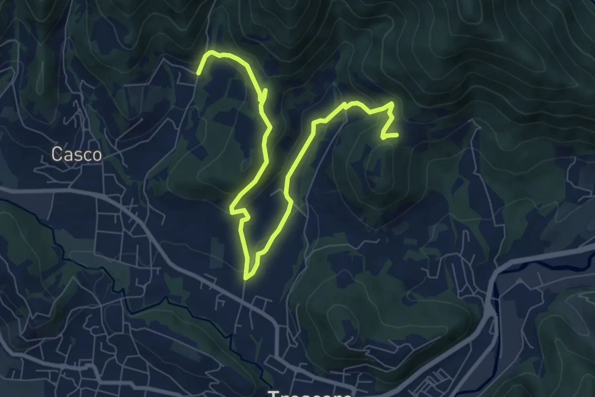
Medium · Trail
S. Ambrogio (Cenate Sopra) – Madonna del Mirabile (Luzzana)
9.2 km · ↑ 355 m · 2 h 56 min · 14 km away
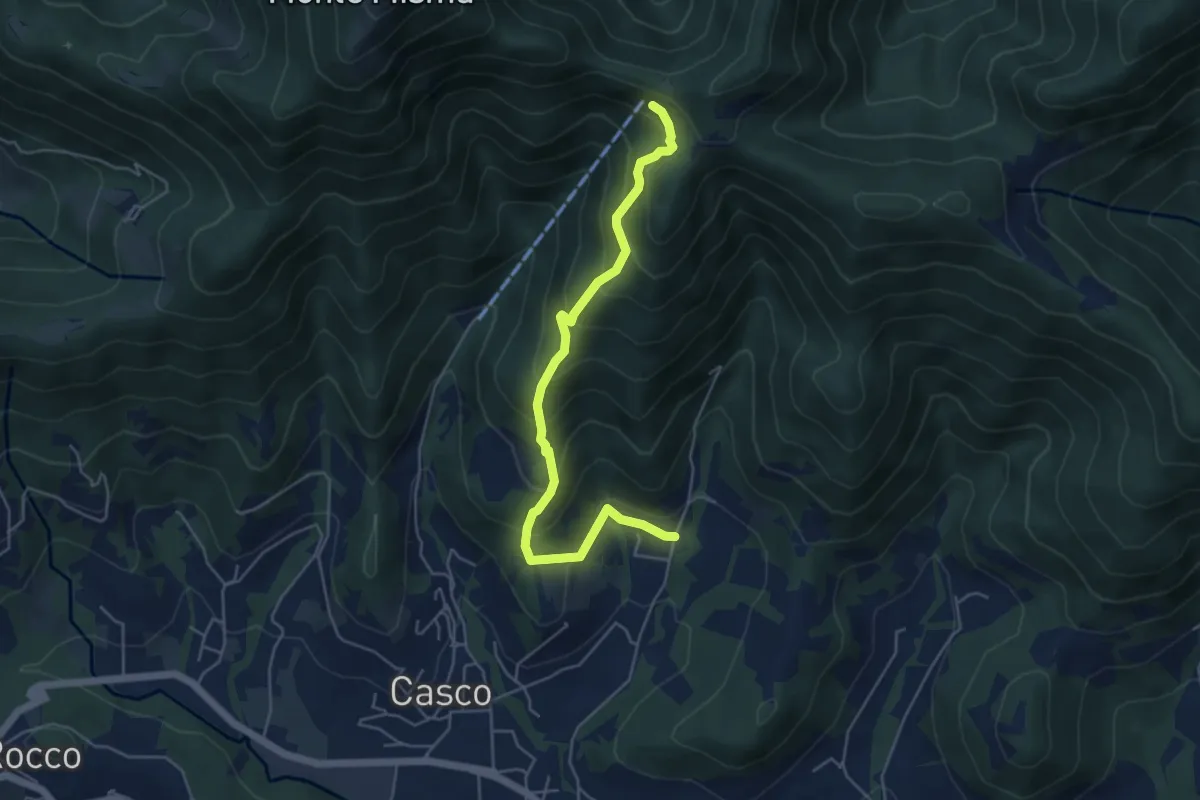
Medium · Cabin
S. Ambrogio (Cenate Sopra) – S. Maria del Misma
5.3 km · ↑ 477 m · 2 h 17 min · 14 km away
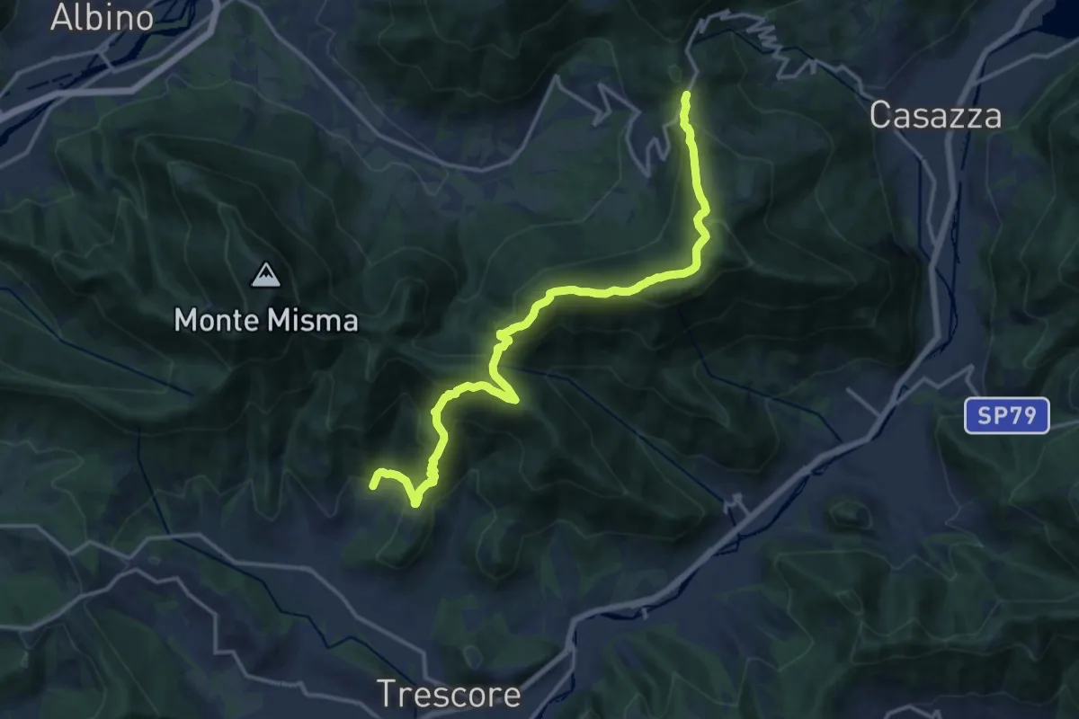
Demanding · Trail
S. Ambrogio (Cenate Sopra) – Colle Gallo
16.1 km · ↑ 1017 m · 6 h 1 min · 14 km away
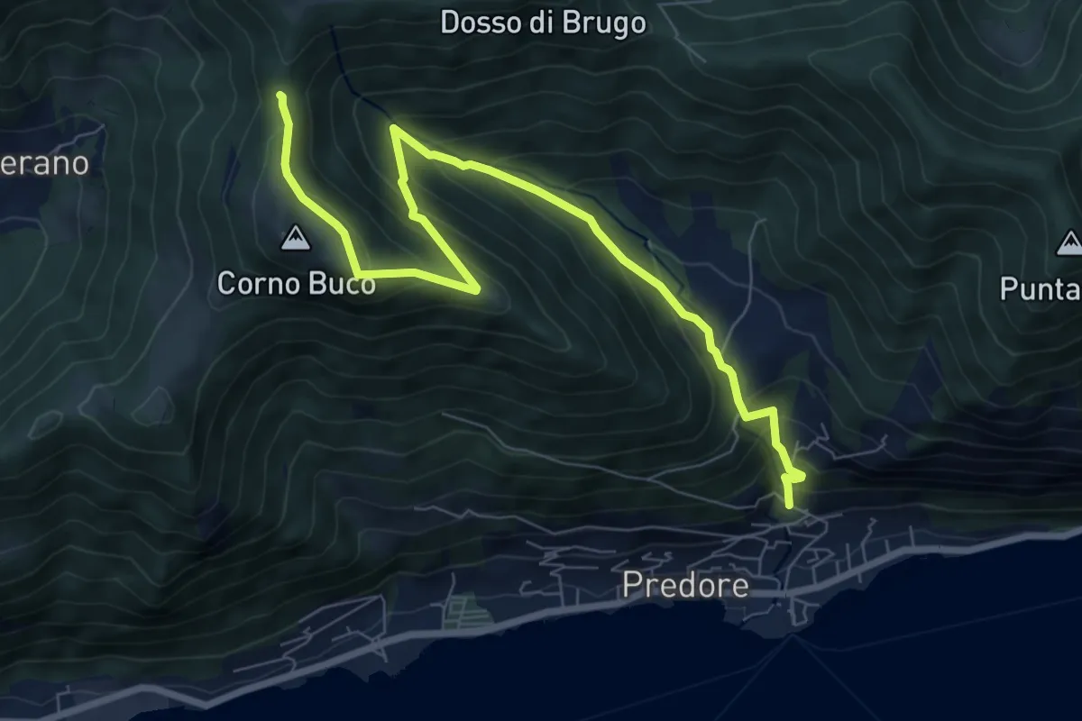
Medium · Trail
Predore – Colle di Oregia
8.7 km · ↑ 661 m · 3 h 29 min · 14 km away
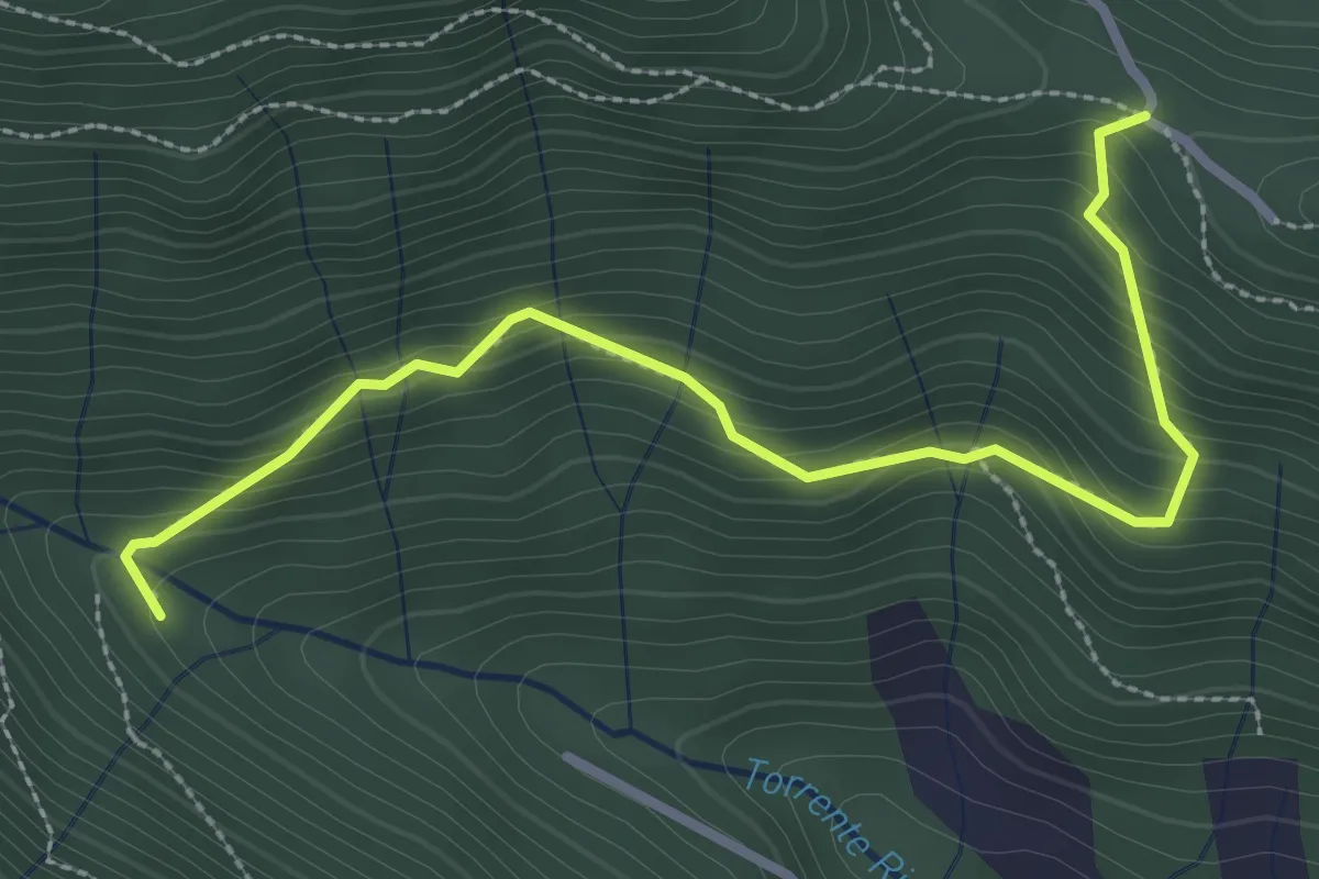
Medium · Trail
Col del Giogo – Incrocio 708
3.2 km · ↑ 264 m · 1 h 19 min · 14 km away
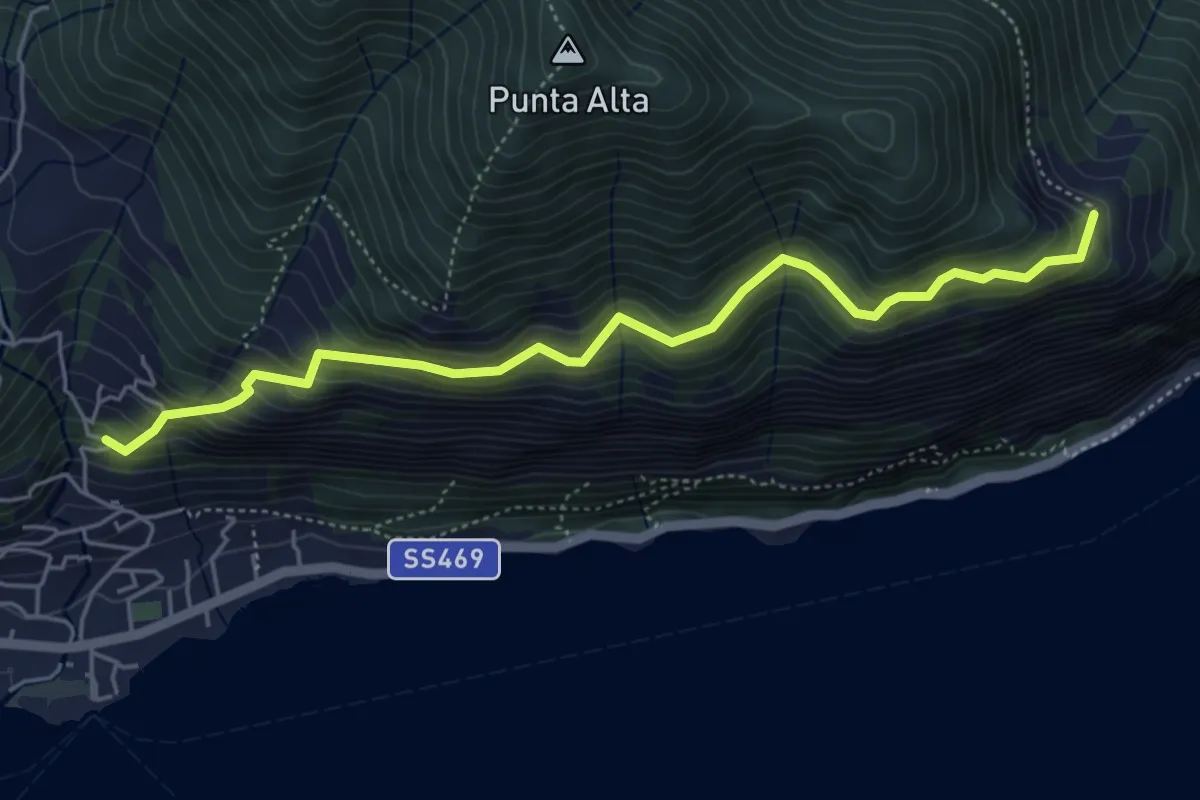
Medium · Trail
Sentiero dei Fiori
5.3 km · ↑ 518 m · 2 h 22 min · 14 km away
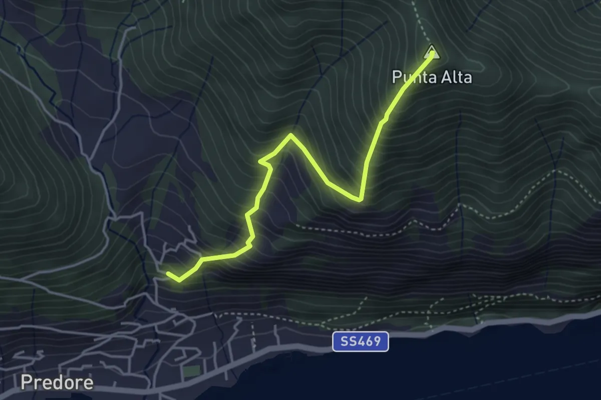
Medium · Summit
San Gregorio (Predore) – Punta Alta
3.9 km · ↑ 634 m · 2 h 18 min · 14 km away