Trails near Palmanova
21 hikes starting within 15 km, nearest first.
Nearest first
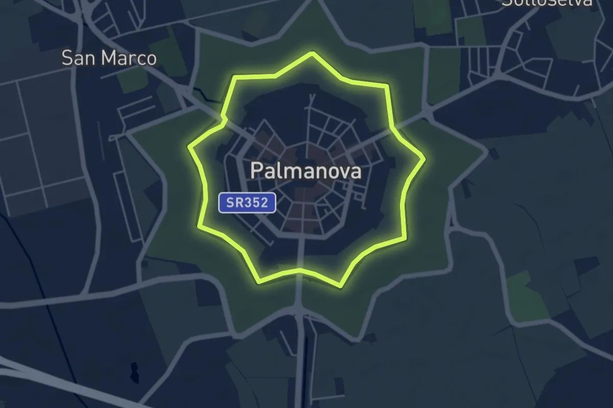
Easy · Trail
Anello basso del Fossato
3.9 km · ↑ 0 m · 59 min · under 1 km away
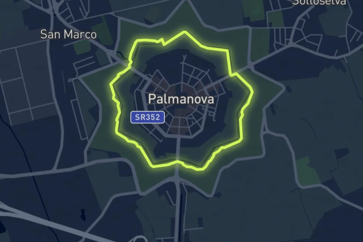
Easy · Trail
Anello alto dei Rivellini
4.2 km · ↑ 0 m · 1 h 4 min · under 1 km away
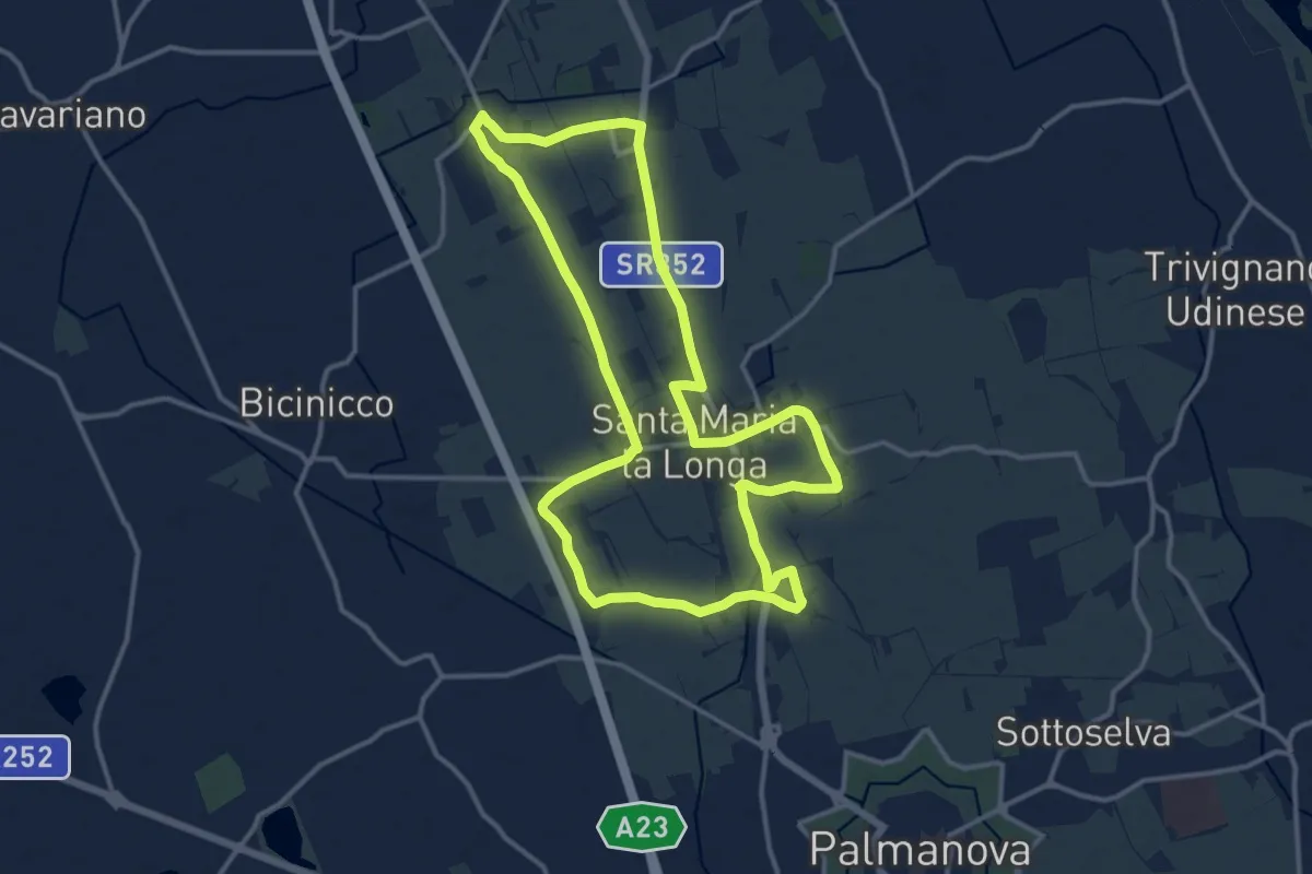
Medium · Trail
10mila passi Santa Maria la Longa - Il pasat... mi ilumine
13.8 km · ↑ 13 m · 3 h 29 min · 3 km away
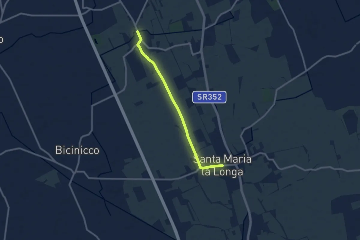
Easy · Trail
10mila passi S.Maria la Longa - La via delle ville - nord
6.9 km · ↑ 8 m · 1 h 39 min · 3 km away
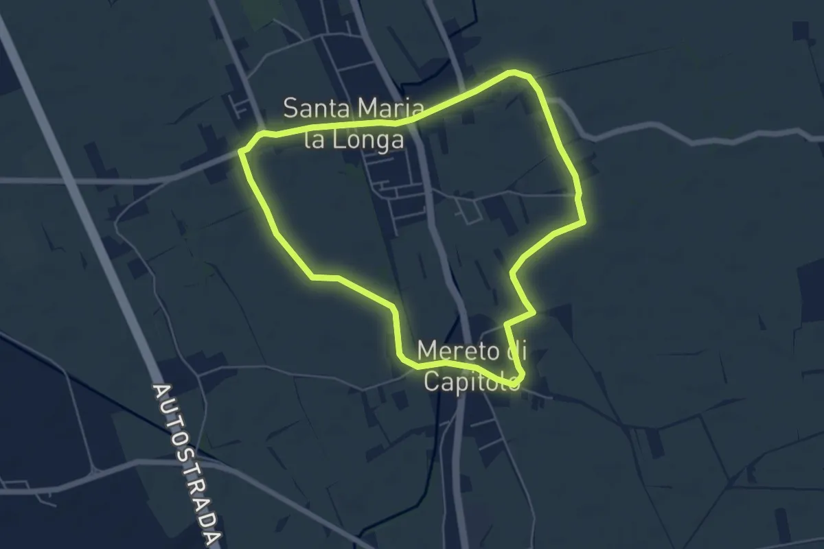
Easy · Trail
10mila passi S.Maria la Longa - La via delle ville - sud
5.3 km · ↑ 4 m · 1 h 20 min · 4 km away
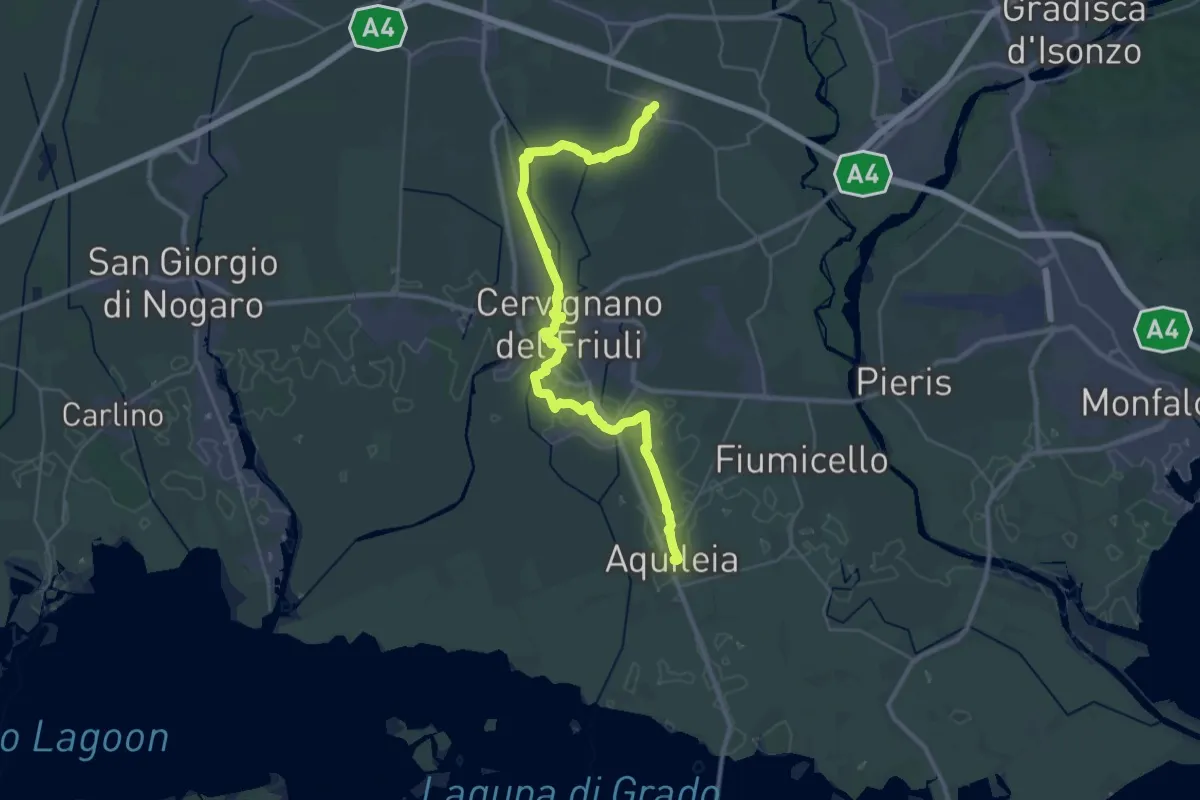
Demanding · Trail
Aquileia – Aiello
19.8 km · ↑ 9 m · 4 h 58 min · 6 km away
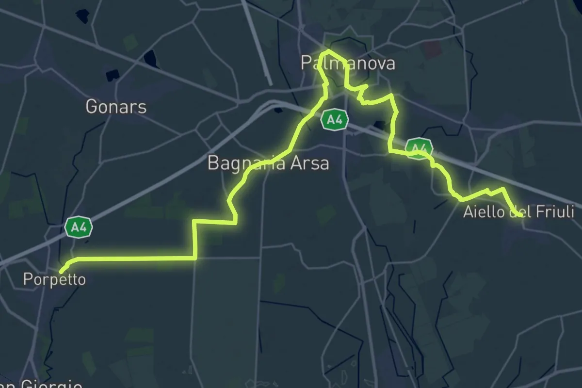
Demanding · Trail
Aiello – Porpetto
19.5 km · ↑ 17 m · 4 h 55 min · 6 km away
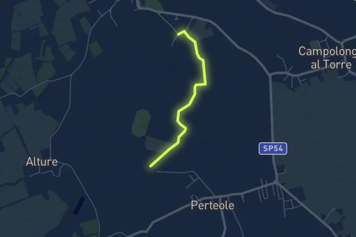
Easy · Trail
Iter Aquileiense - variante della Roggia
4.1 km · ↑ 4 m · 59 min · 7 km away
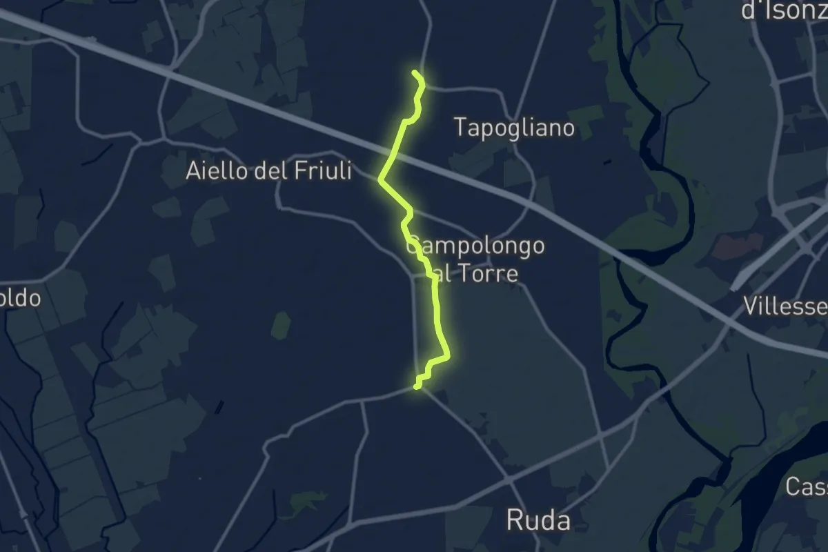
Medium · Trail
Cammino Celeste Italia - passante di Cavenzano
8.4 km · ↑ 9 m · 2 h 1 min · 8 km away
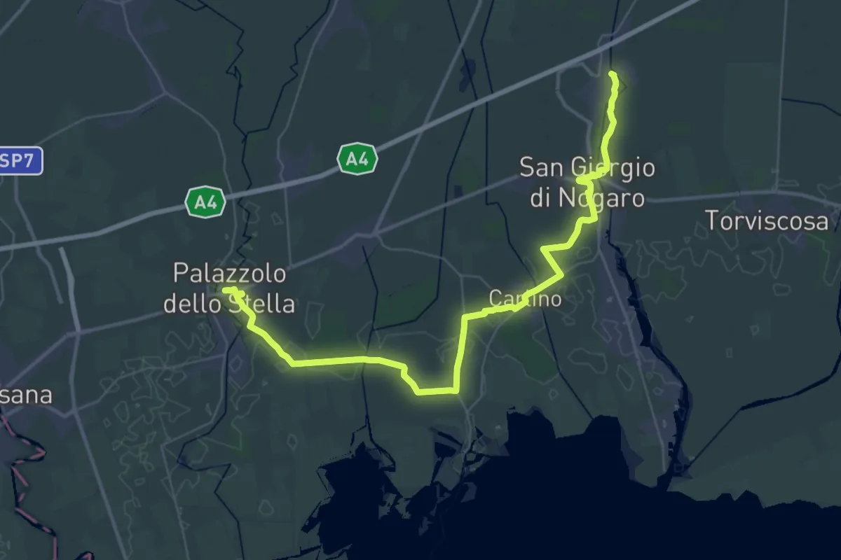
Demanding · Trail
Porpetto – Palazzolo dello Stella
22.2 km · ↑ 14 m · 5 h 36 min · 9 km away
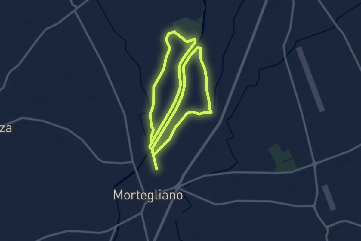
Medium · Trail
10mila passi Mortegliano - Anello del Cormor
16.9 km · ↑ 21 m · 4 h 2 min · 12 km away
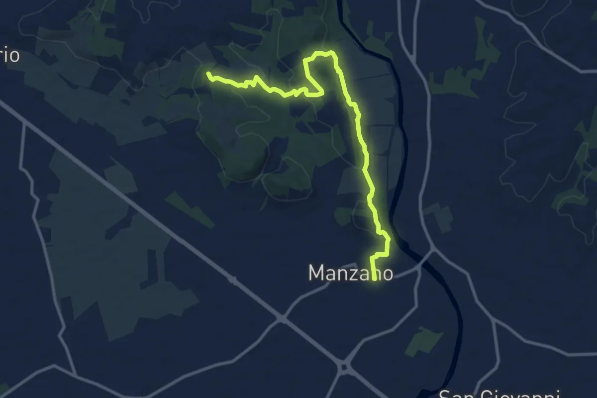
Medium · Trail
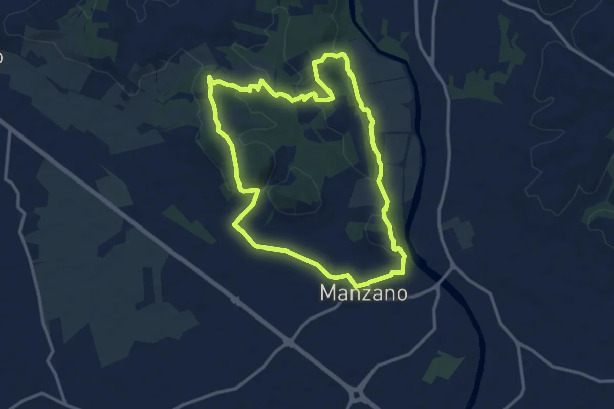
Itinerario Naturalistico della Sdricca
9.8 km · ↑ 174 m · 2 h 41 min · 12 km away
Medium · Trail
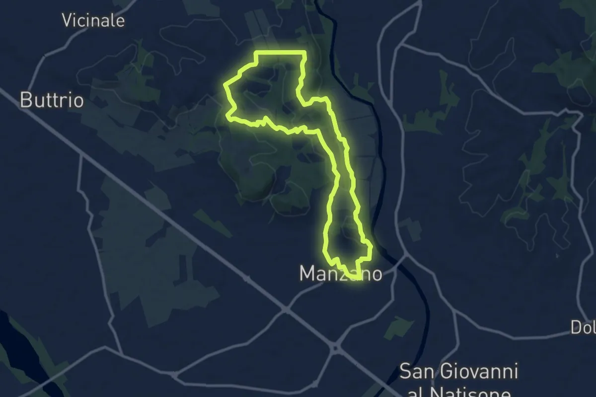
Sentiero Naturalistico della Sdricca
8.0 km · ↑ 132 m · 2 h 18 min · 13 km away
Medium · Trail
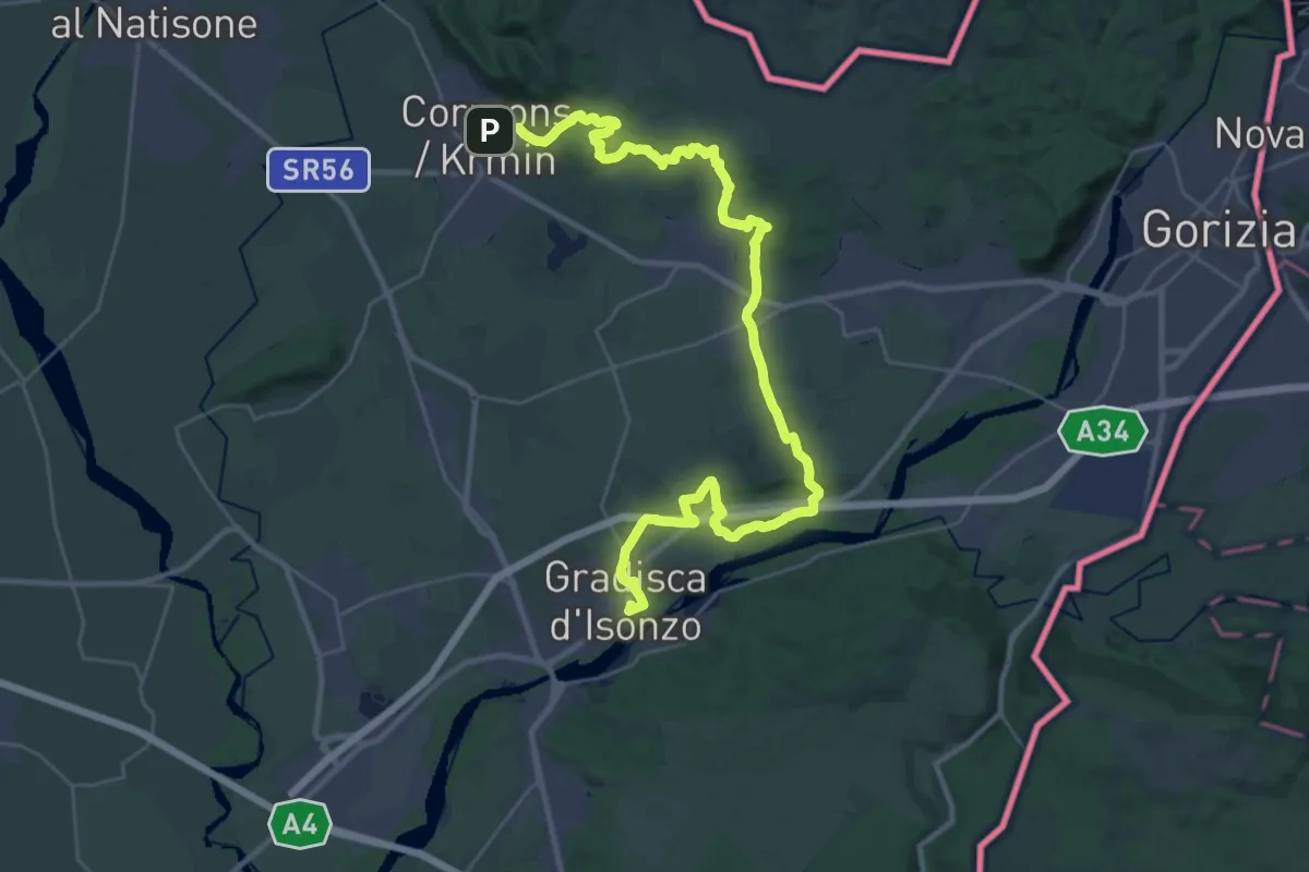
Sulle tracce degli arditi
9.3 km · ↑ 123 m · 2 h 35 min · 13 km away
Demanding · Trail
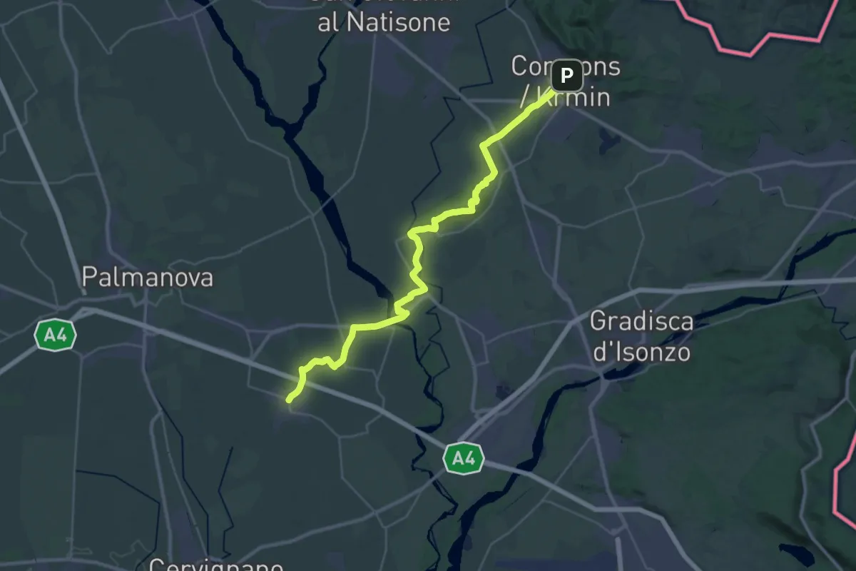
Alpe Adria Trail E32
19.8 km · ↑ 193 m · 5 h 22 min · 14 km away
Medium · Trail
Cammino Celeste Italia - 2 Aiello - Cormons
17.0 km · ↑ 104 m · 4 h 30 min · 14 km away
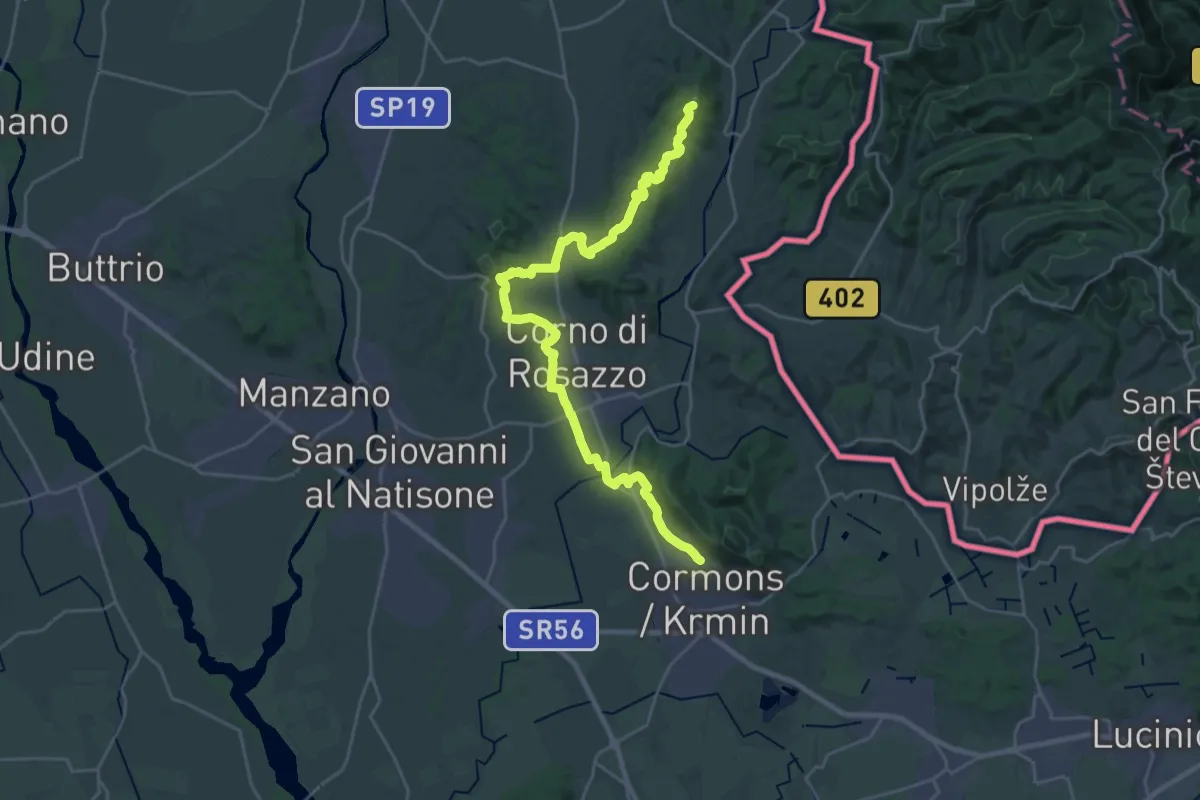
Demanding · Summit
Iter Aquileiense - variante per l'Abbazia di Rosazzo
28.9 km · ↑ 395 m · 7 h 41 min · 14 km away
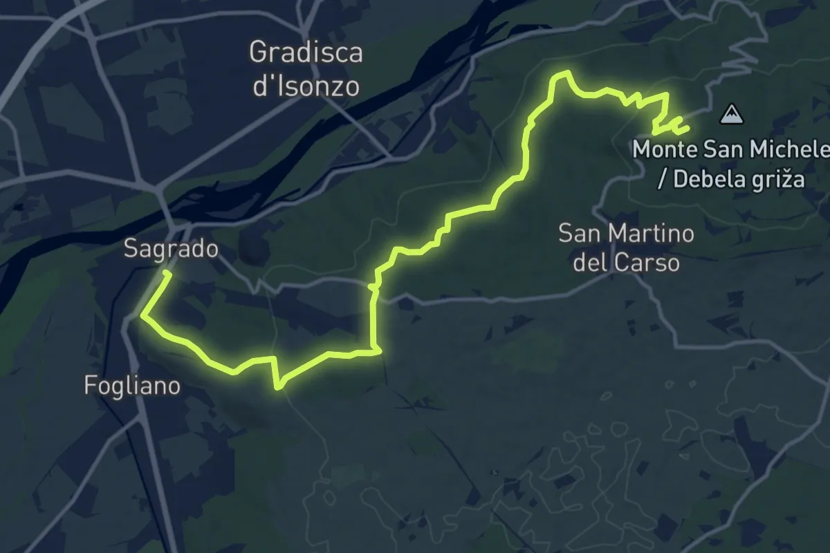
Medium · Summit
Sagrado (quota 40 m) – monte San Michele (quota 275 m)
16.9 km · ↑ 382 m · 4 h 48 min · 14 km away
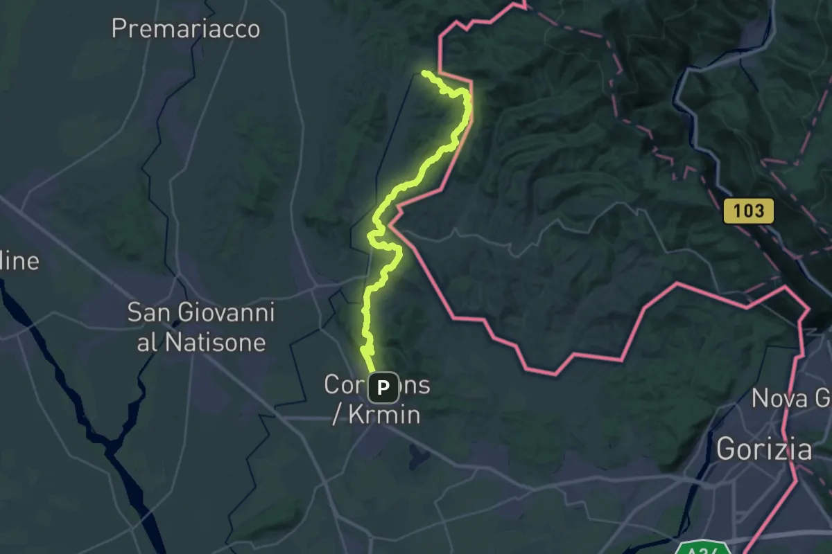
Medium · Trail
Albana – Cormons
15.6 km · ↑ 505 m · 4 h 59 min · 14 km away
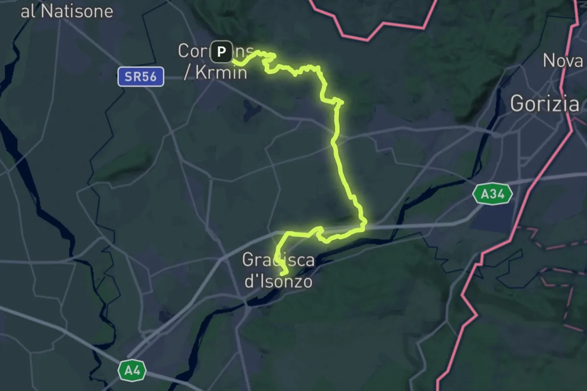
Demanding · Trail
Cormons – Gradisca d'Isonzo
18.4 km · ↑ 175 m · 5 h · 14 km away
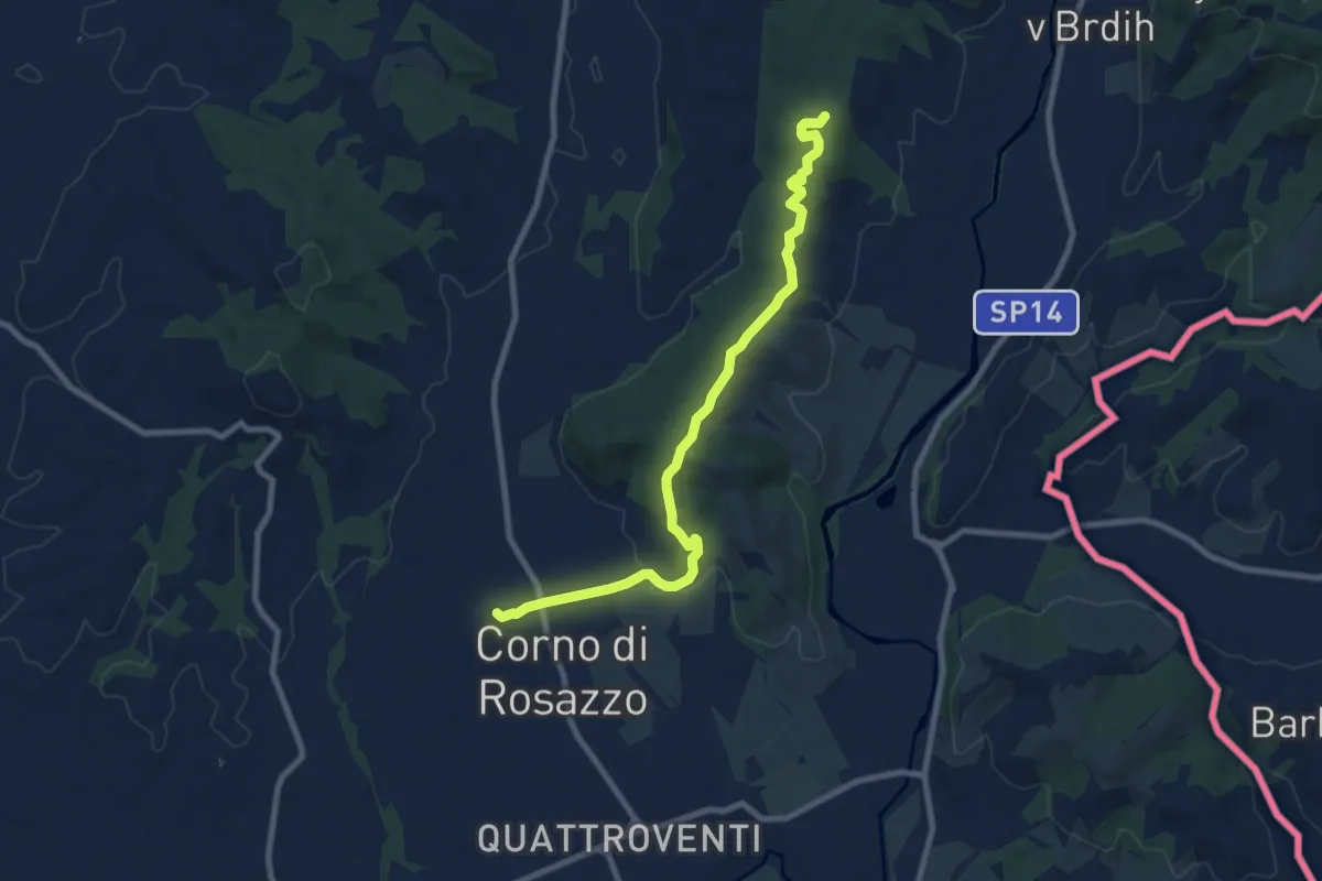
Medium · Trail
Iter Aquileiense - variante di Corno di Rosazzo
9.0 km · ↑ 204 m · 2 h 34 min · 14 km away