Trails near Partinico
18 hikes starting within 15 km, nearest first.
Nearest first
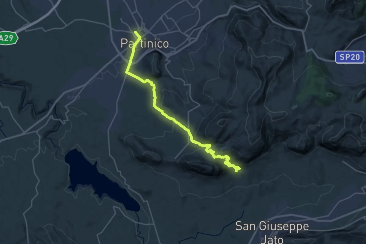
Demanding · Trail
Partinico - Masseria Signora S.I.
21.2 km · ↑ 866 m · 6 h 54 min · 1 km away
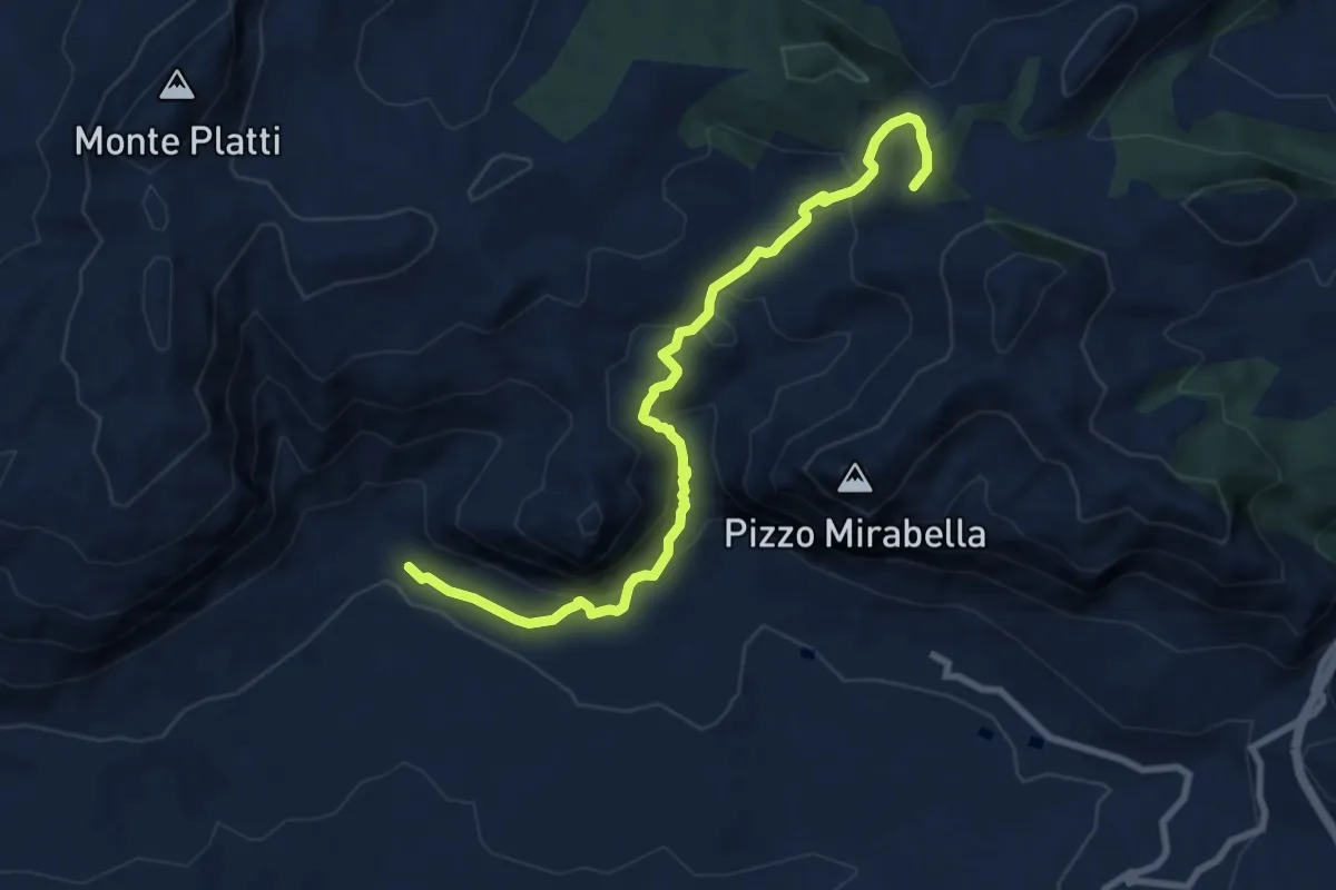
Medium · Summit
Masseria Dammusi – Piana degli Albanesi
10.3 km · ↑ 538 m · 3 h 36 min · 8 km away
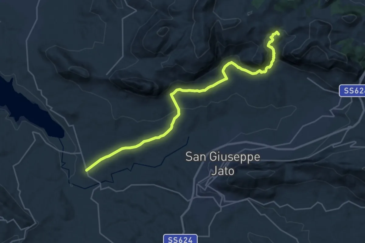
Demanding · Summit
Case Coloniche Fellamonica – Piana degli Albanesi
22.5 km · ↑ 739 m · 6 h 55 min · 8 km away
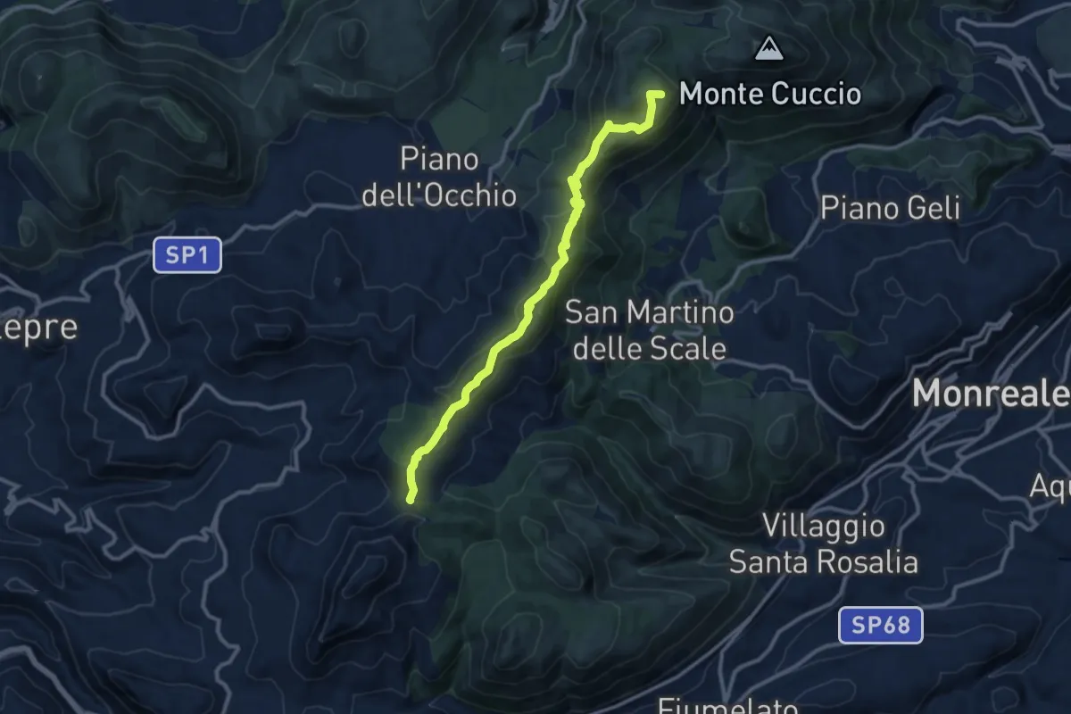
Medium · Summit
Portella Bianca – Portella Torretta
12.2 km · ↑ 579 m · 4 h 8 min · 10 km away
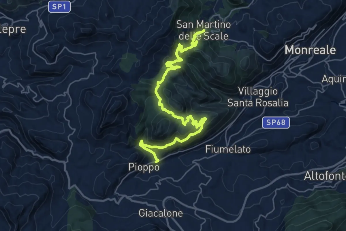
Medium · Trail
Il Cammino dei Mille - Tappa 2
12.8 km · ↑ 619 m · 4 h 30 min · 10 km away
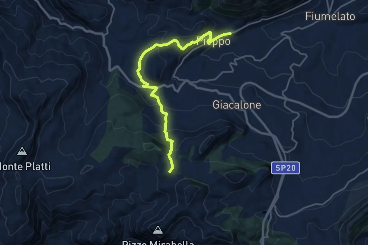
Medium · Summit
Il Cammino dei Mille - Tappa 3
13.4 km · ↑ 594 m · 4 h 27 min · 10 km away
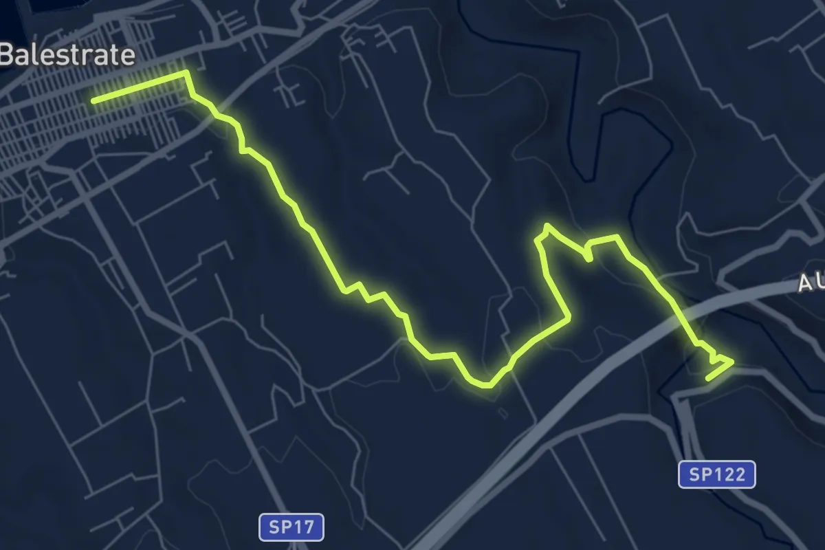
Medium · Trail
Balestrate Santuario Madonna del Ponte
9.1 km · ↑ 173 m · 2 h 32 min · 10 km away
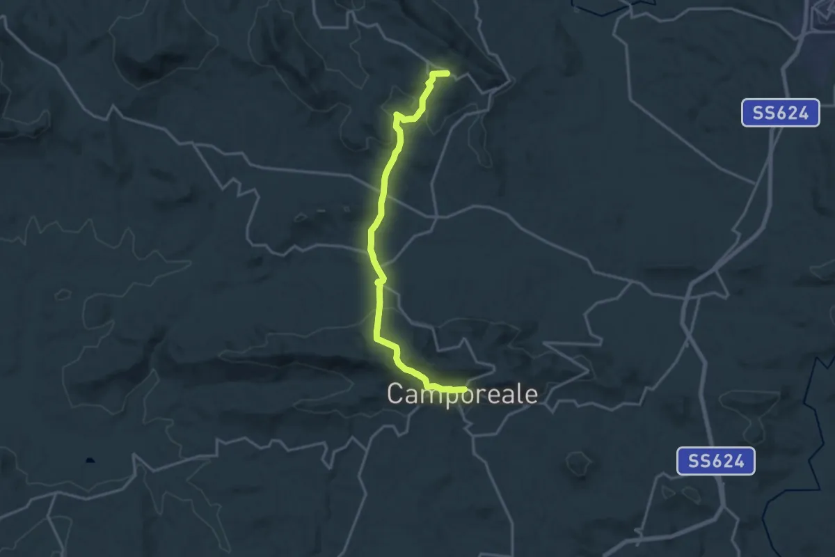
Medium · Trail
Grisì - Camporeale
17.0 km · ↑ 622 m · 5 h 22 min · 10 km away
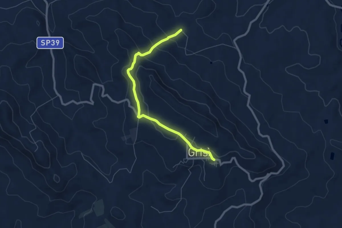
Easy · Trail
Sentiero Italia - Cambuca – Grisì
7.0 km · ↑ 204 m · 2 h 6 min · 10 km away
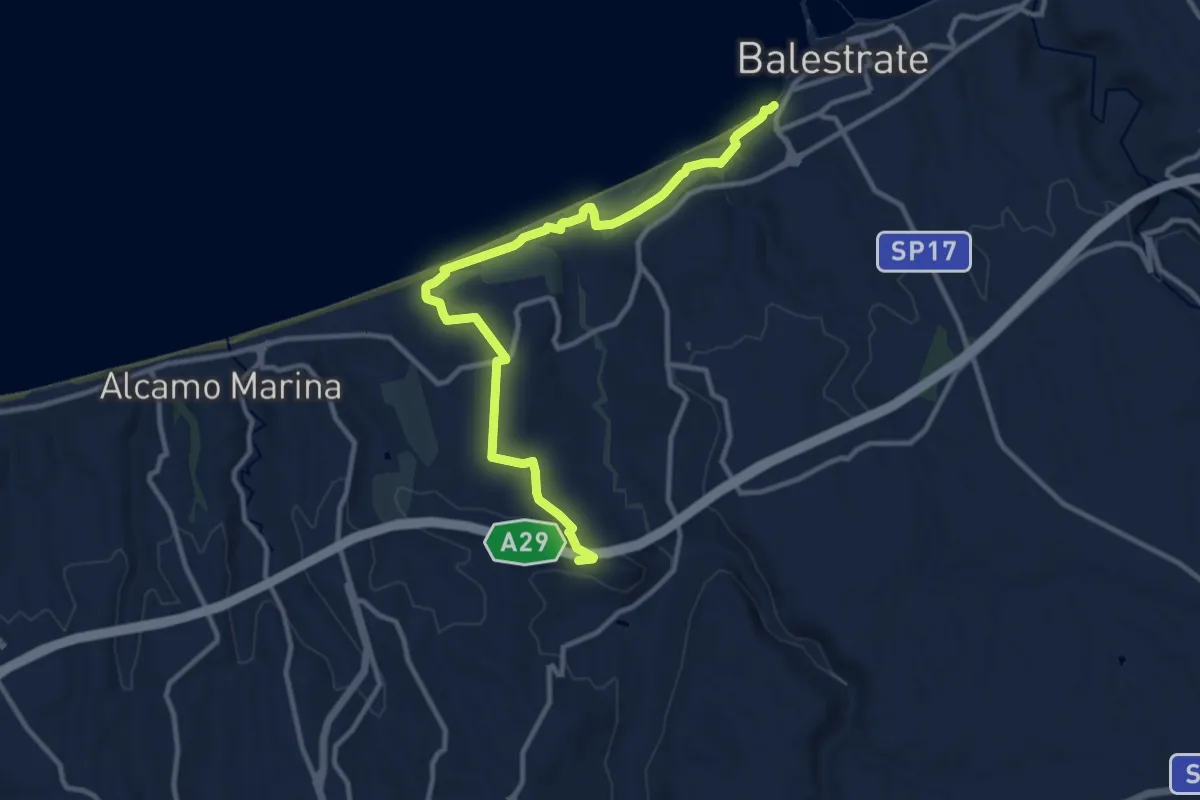
Medium · Trail
Castello di Calatubo-Geosito di Balestrate
13.9 km · ↑ 202 m · 3 h 43 min · 11 km away
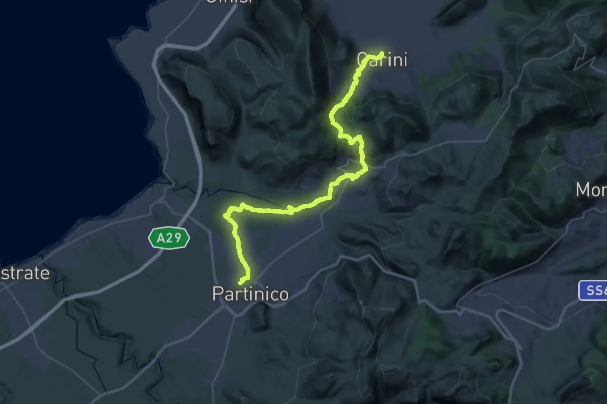
Demanding · Trail
Carini - Montelepre - Partinico
18.9 km · ↑ 563 m · 5 h 56 min · 11 km away
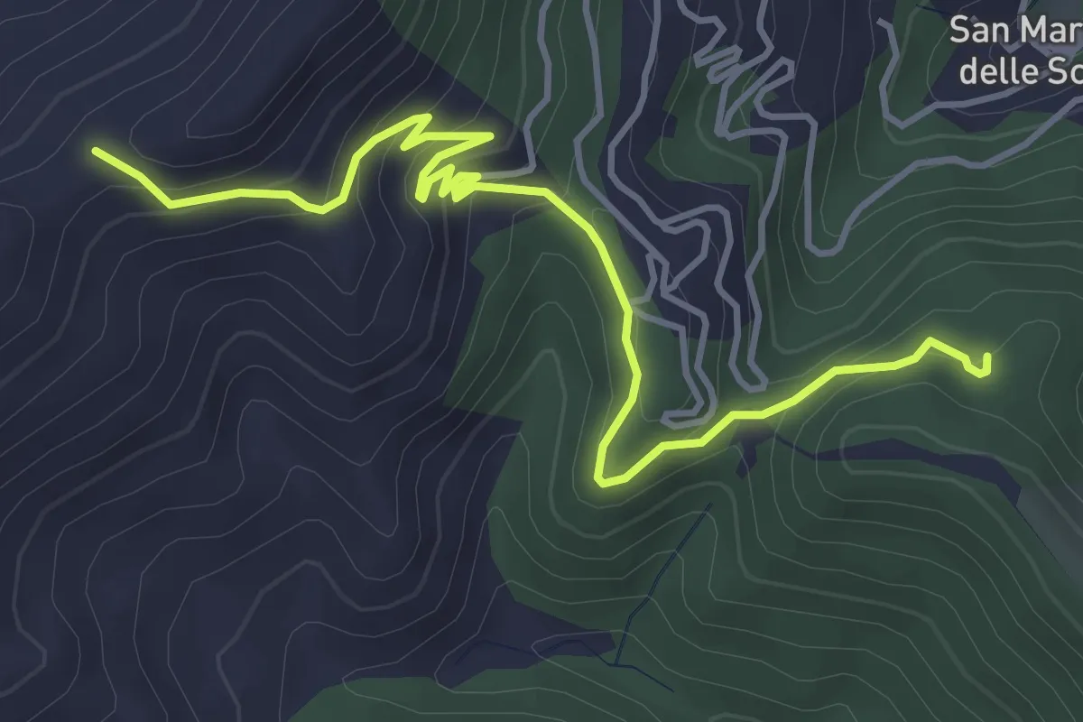
Easy · Trail
Case Neviera – Serra Dell'Occhio
5.5 km · ↑ 314 m · 1 h 59 min · 12 km away
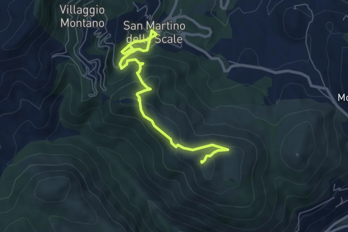
Medium · Summit
lwn 146
7.0 km · ↑ 423 m · 2 h 33 min · 12 km away
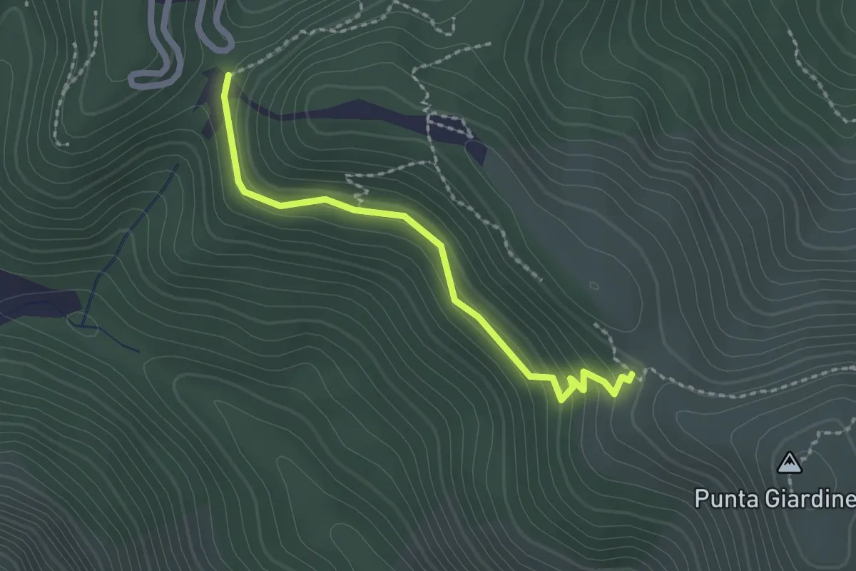
Easy · Trail
Sentiero 146 – Sentiero 147
2.2 km · ↑ 102 m · 45 min · 12 km away
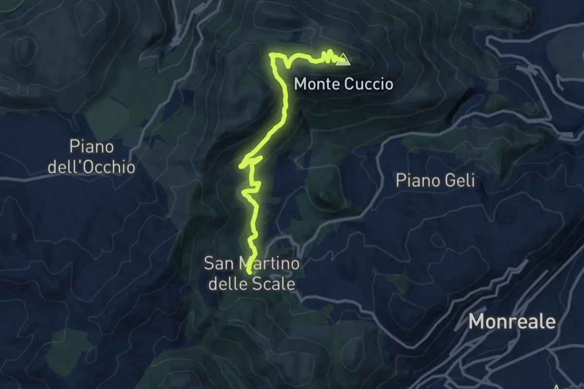
Medium · Summit
S. Martino delle Scale – Monte Cuccio
11.8 km · ↑ 563 m · 4 h · 13 km away
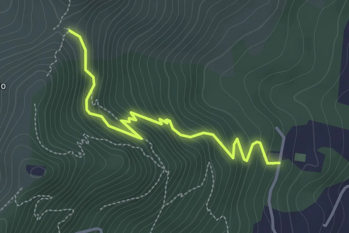
Easy · Trail
Istituto Padre Francesco Spoto – Portella S. Anna.
3.3 km · ↑ 252 m · 1 h 20 min · 13 km away
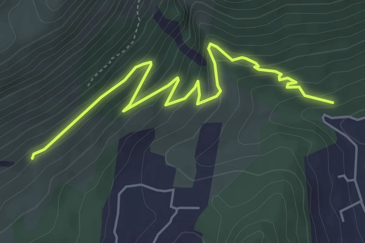
Medium · Trail
Sentiero 152 – Grotta del Vallone d’Inverno e Sentiero 148
5.7 km · ↑ 359 m · 2 h 7 min · 15 km away
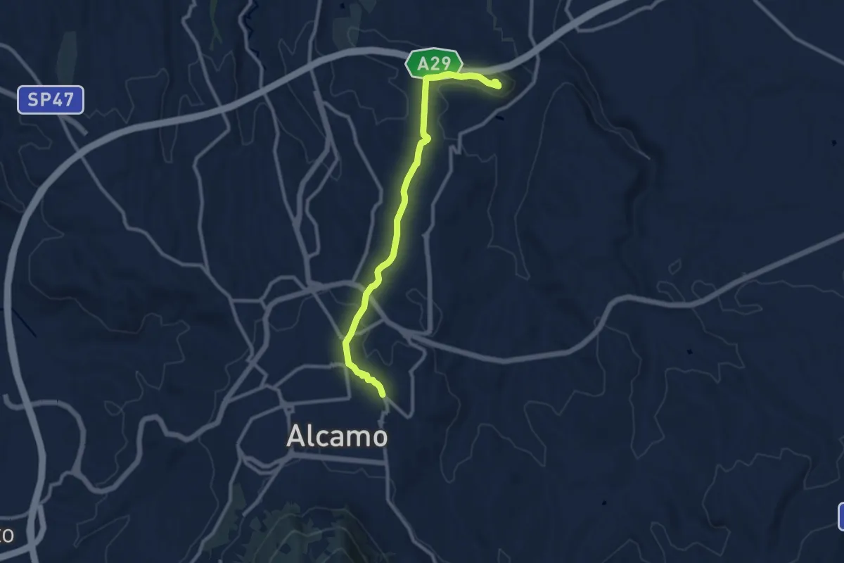
Medium · Trail
Alcamo Castello Calatubo
10.8 km · ↑ 188 m · 2 h 58 min · 15 km away