Trails near Paternò
21 hikes starting within 15 km, nearest first.
Nearest first
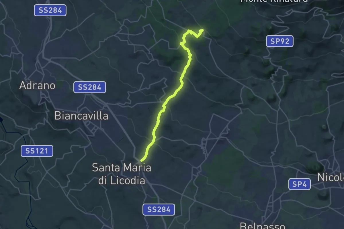
Demanding · Trail
S.Maria di Licodia - Sentiero 705 piano Mirio
20.8 km · ↑ 884 m · 6 h 49 min · 6 km away
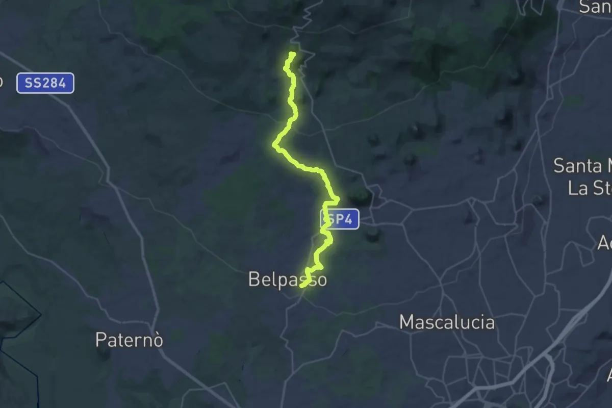
Demanding · Cabin
Belpasso – Rifugio di Monte Manfrè
14.4 km · ↑ 836 m · 5 h 1 min · 7 km away
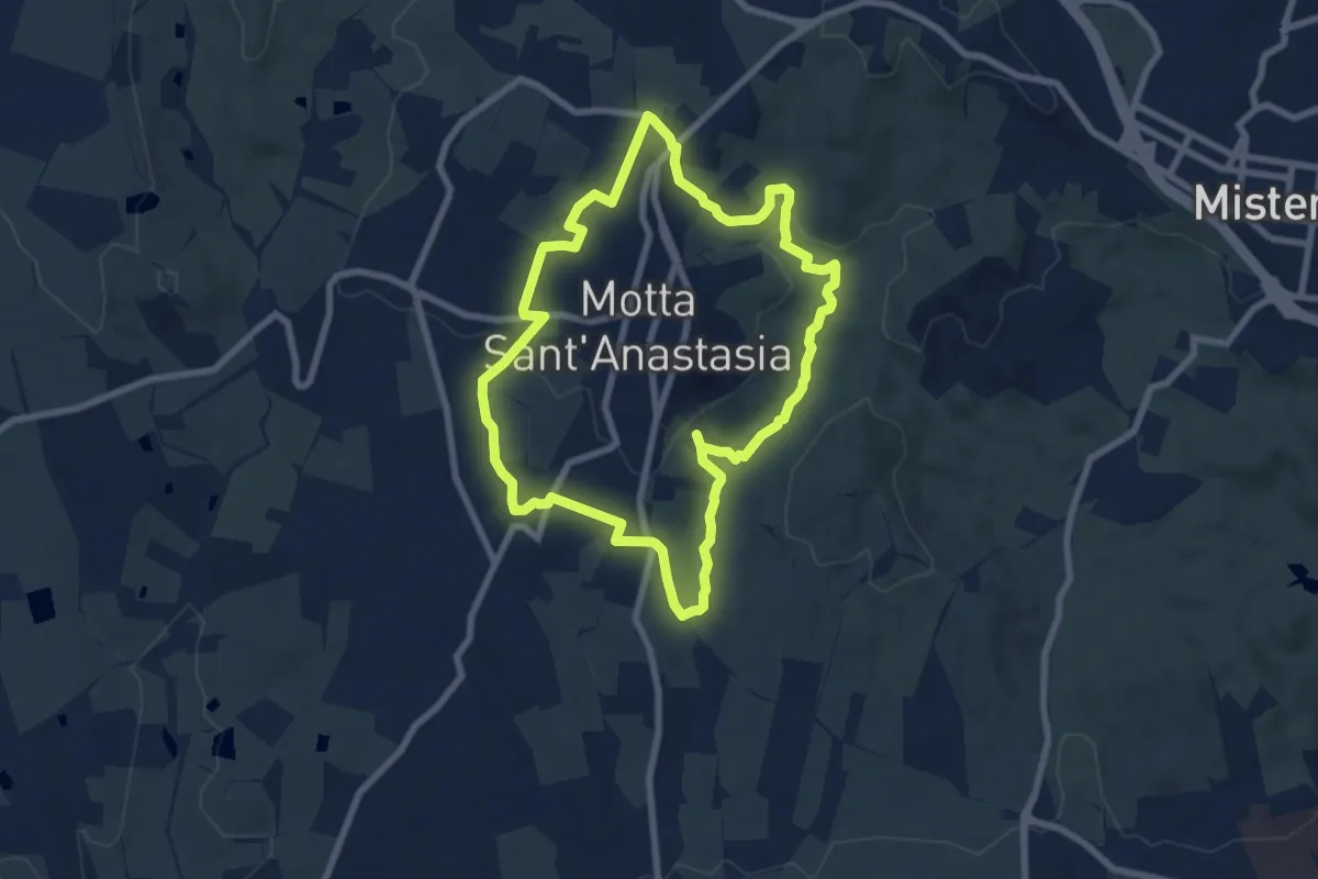
Medium · Trail
Sentiero dell'Anello
8.6 km · ↑ 218 m · 2 h 37 min · 9 km away
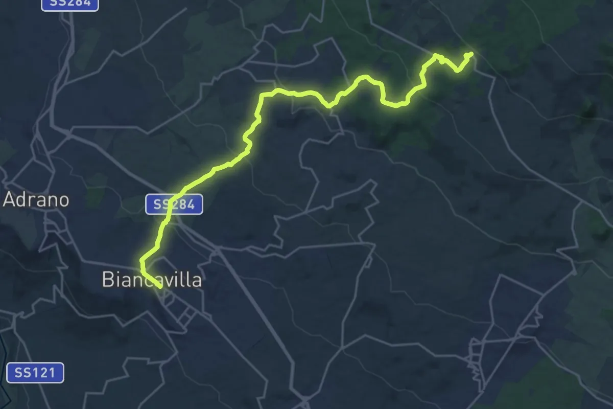
Demanding · Trail
Biancavilla - Punto Base n. 2
24.8 km · ↑ 870 m · 7 h 45 min · 9 km away
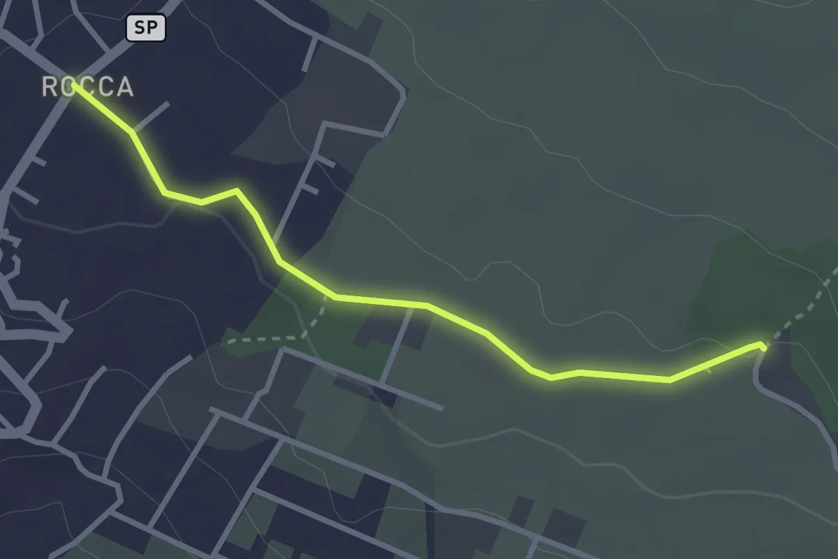
Easy · Trail
Piazza Rocca (Ragalna) – Sentiero 786
3.2 km · ↑ 23 m · 48 min · 10 km away
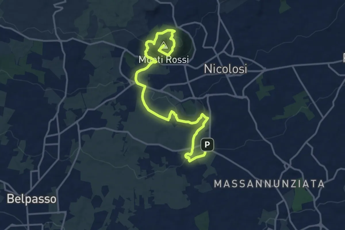
Medium · Summit
Lava 1669 Dai Monti Rossi a Mompilieri
15.2 km · ↑ 572 m · 4 h 49 min · 11 km away
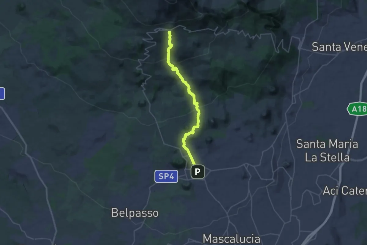
Demanding · Summit
Sentiero Silvestri
25.3 km · ↑ 1224 m · 8 h 37 min · 12 km away
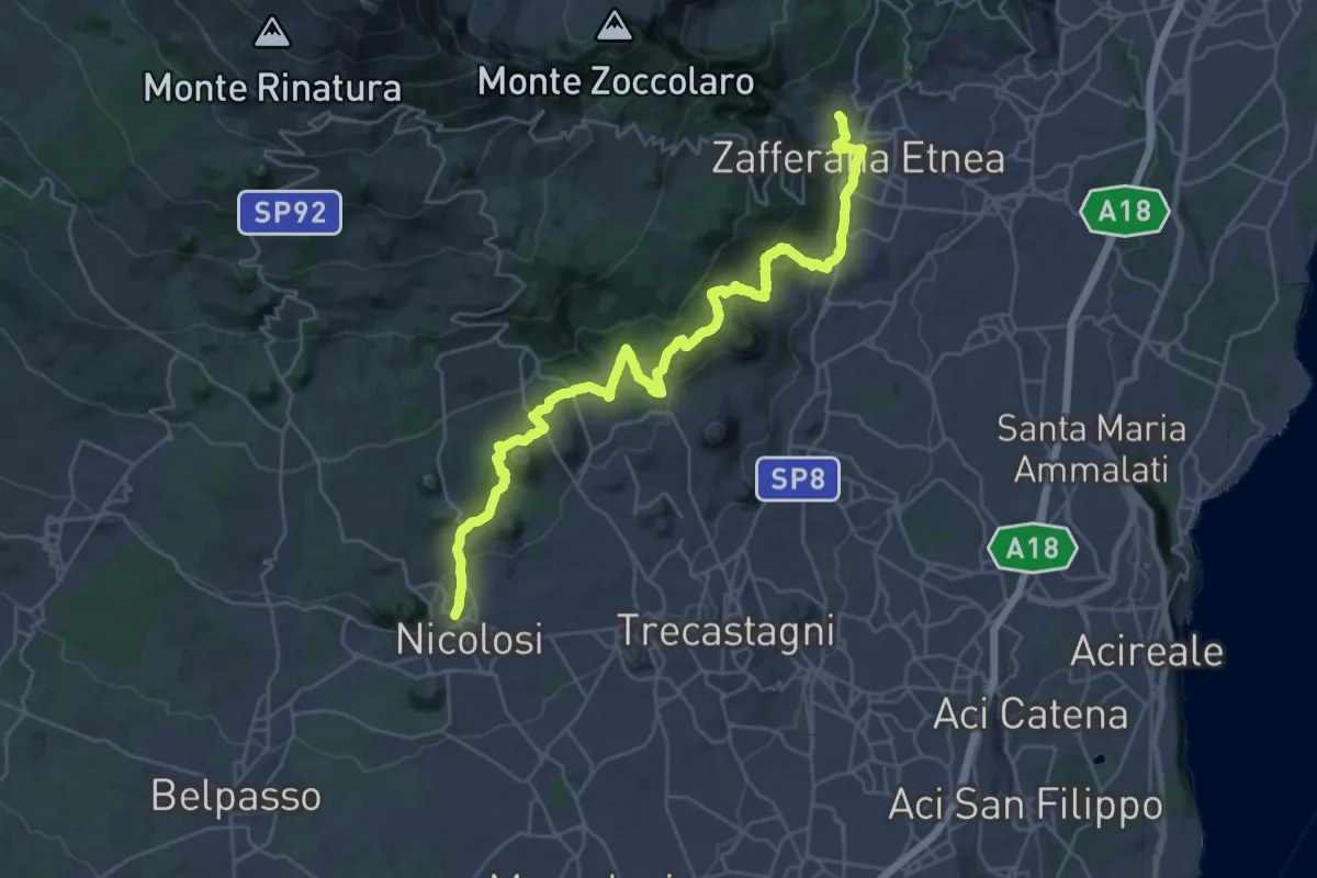
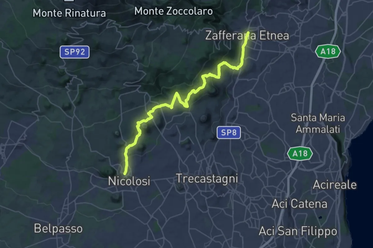
Demanding · Trail
731 - Sentiero delle Ginestre - parte Sud
18.1 km · ↑ 616 m · 5 h 55 min · 12 km away
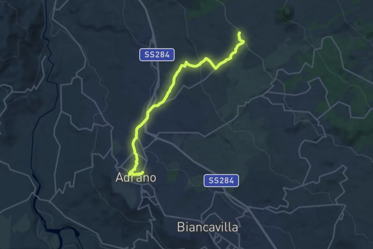
Medium · Trail
Sentiero delle Ginestre tappa 1
17.0 km · ↑ 540 m · 5 h 30 min · 12 km away
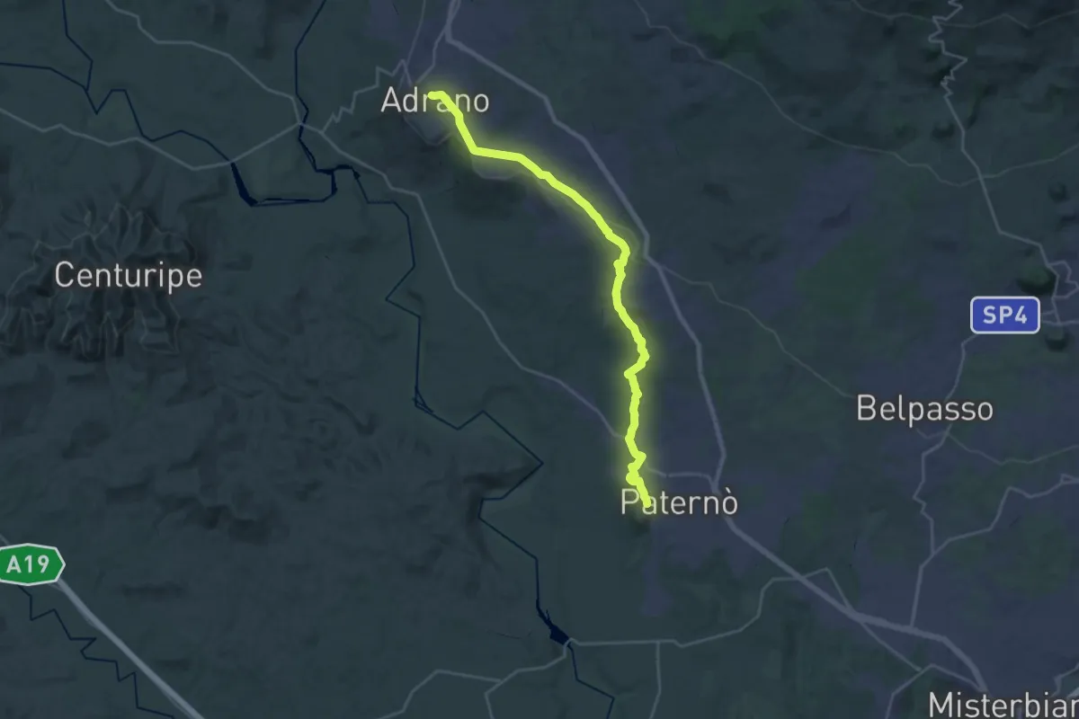
Medium · Trail
Adrano - Grotta del Santo
17.3 km · ↑ 455 m · 5 h 4 min · 12 km away
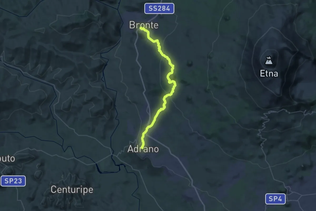
Medium · Pilgrim path
Via Francigena Fabaria - Tappa 11
15.2 km · ↑ 47 m · 4 h 4 min · 12 km away
Demanding · Pilgrim path
Via Francigena Fabaria - Tappa 12
19.9 km · ↑ 656 m · 6 h 17 min · 12 km away
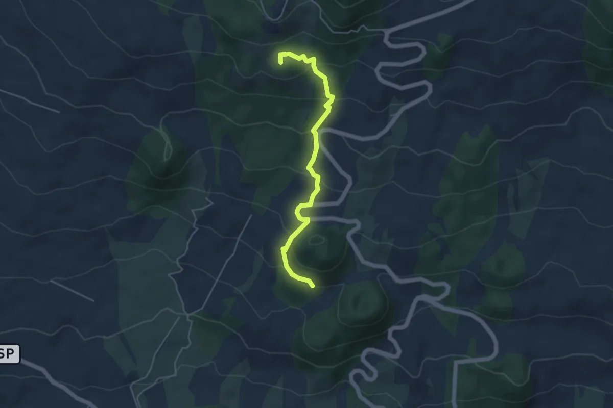
Easy · Summit
Monte Manfrè - Pista Altomontana
5.0 km · ↑ 297 m · 1 h 49 min · 13 km away
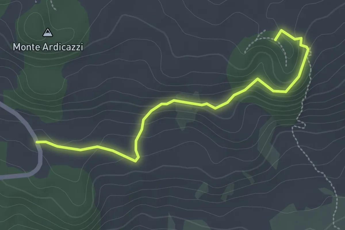
Easy · Summit
Monte Concilio Monte Gemmellaro
3.6 km · ↑ 158 m · 1 h 11 min · 14 km away
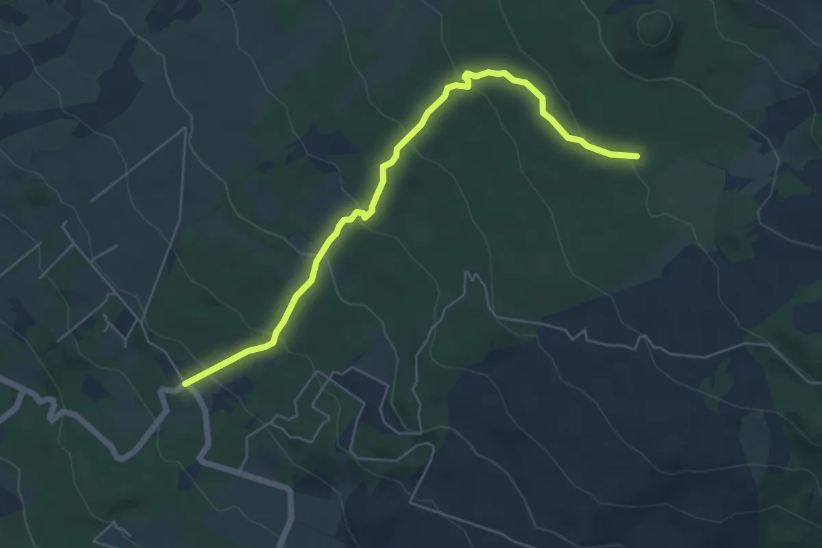
Easy · Trail
Piano Mirio - Pista Altomontana
6.5 km · ↑ 317 m · 2 h 13 min · 14 km away
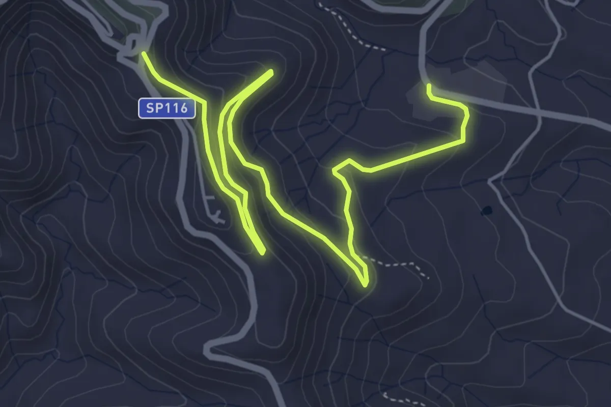
Medium · Trail
Miniere Marmora
7.9 km · ↑ 346 m · 2 h 36 min · 14 km away
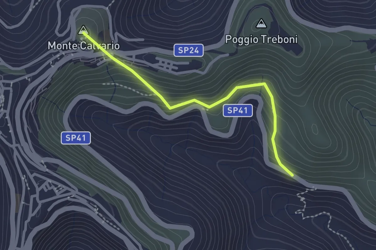
Medium · Summit
Difesa
2.6 km · ↑ 180 m · 1 h · 15 km away
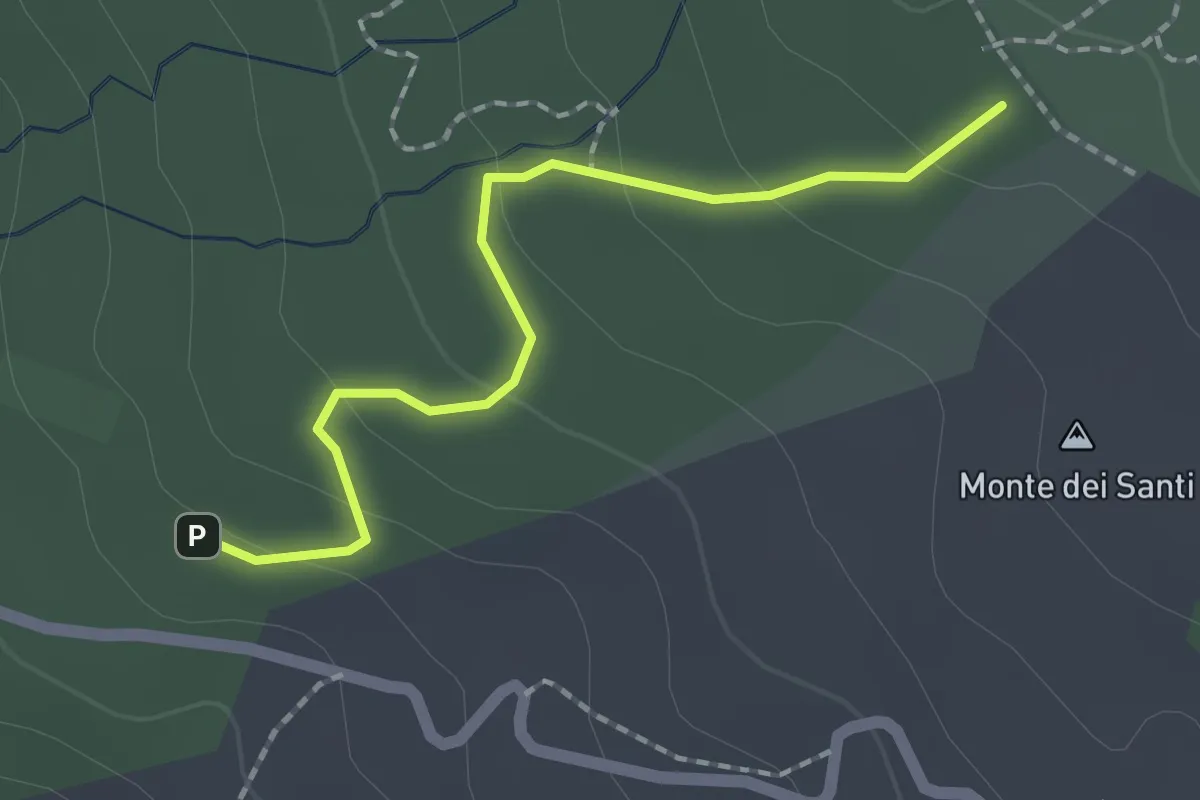
Easy · Trail
Piano Mirio - Vivaio Forestale Etna - Pista Altomontana
2.1 km · ↑ 76 m · 39 min · 15 km away
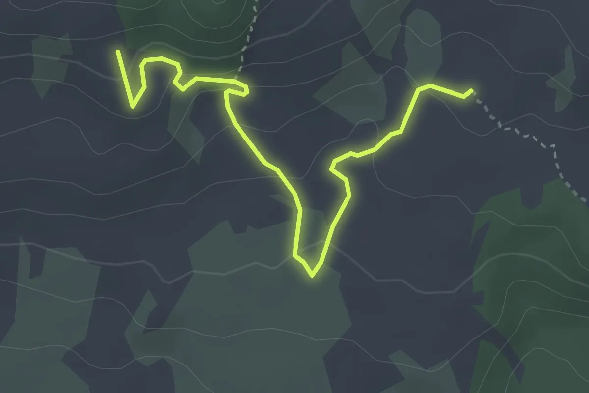
Easy · Trail
Monte Grosso-Monte Albano
4.2 km · ↑ 159 m · 1 h 20 min · 15 km away
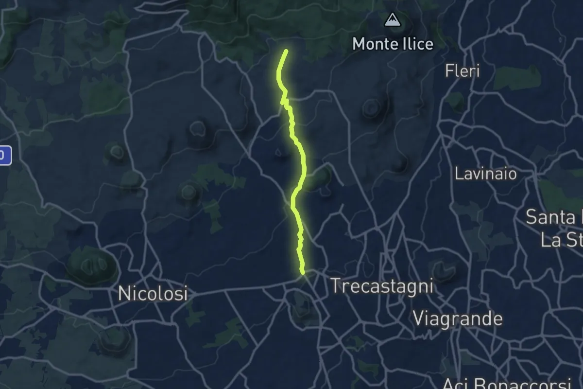
Medium · Trail
Pedara - Tarderia
10.1 km · ↑ 271 m · 2 h 58 min · 15 km away
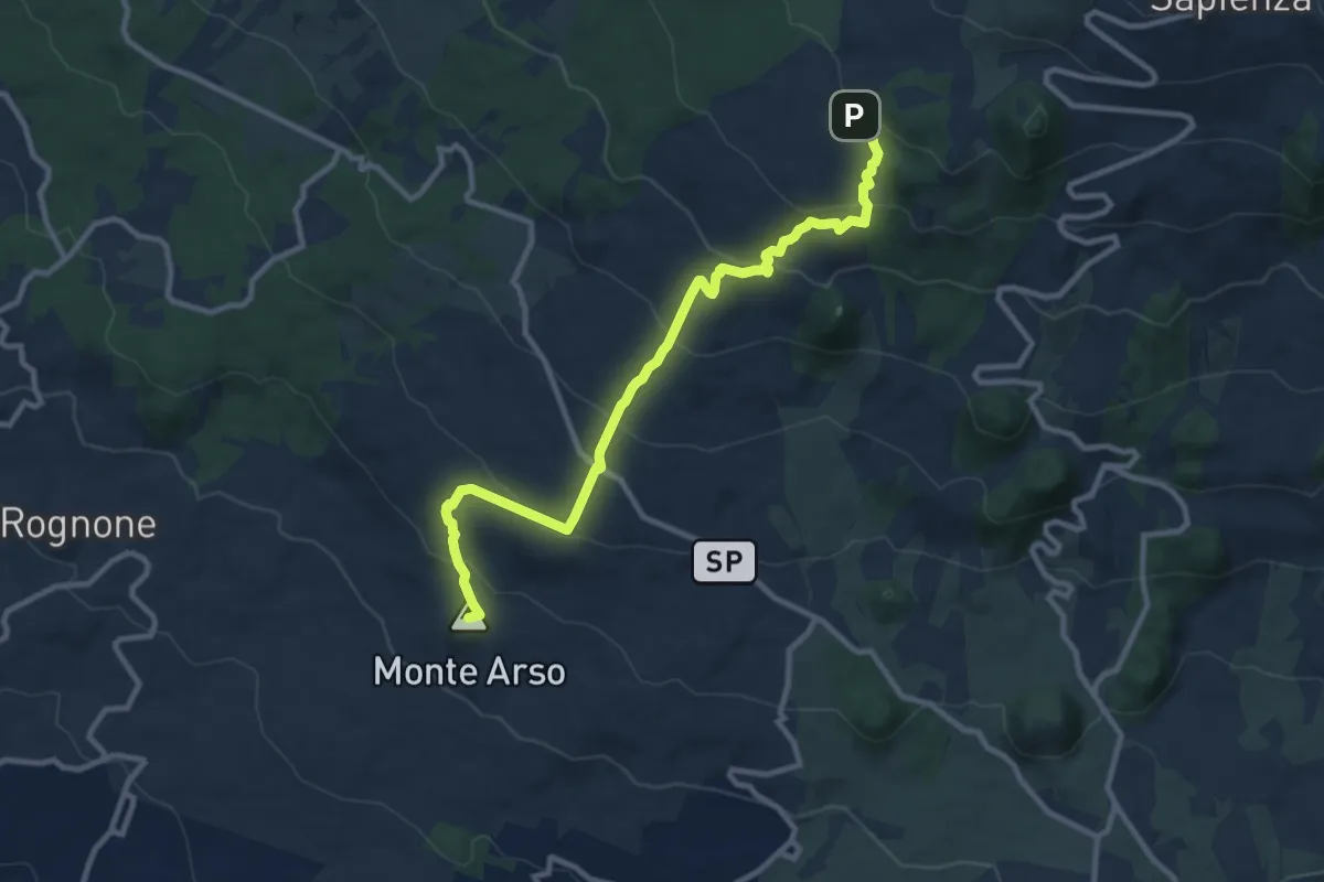
Medium · Summit
Piazza Rocca (Ragalna) – Pista Altomontana (701A)
12.5 km · ↑ 641 m · 4 h 20 min · 15 km away