Trails near Perugia
37 hikes starting within 15 km, nearest first.
Nearest first
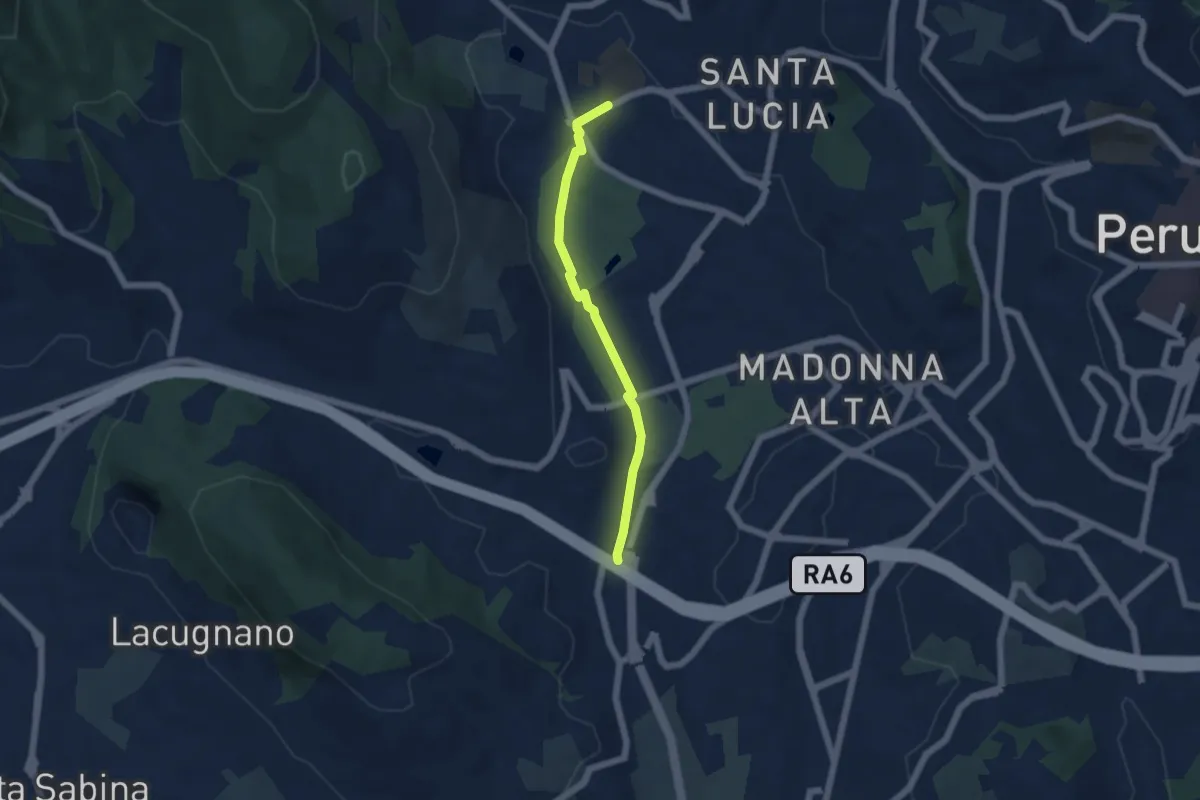
Easy · Trail
Pian di Massiano – Borgonovo
5.0 km · ↑ 26 m · 1 h 14 min · 3 km away
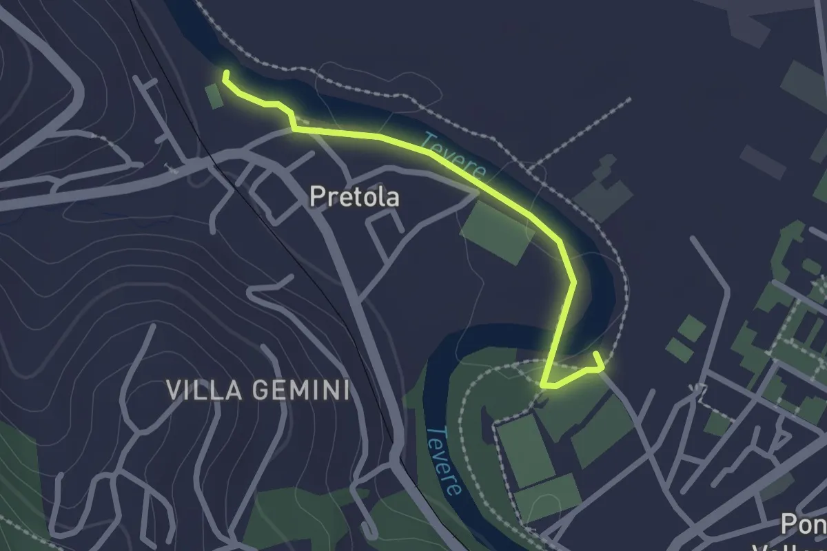
Easy · Trail
Sentiero raccoglitori di legna
2.1 km · ↑ 4 m · 30 min · 4 km away
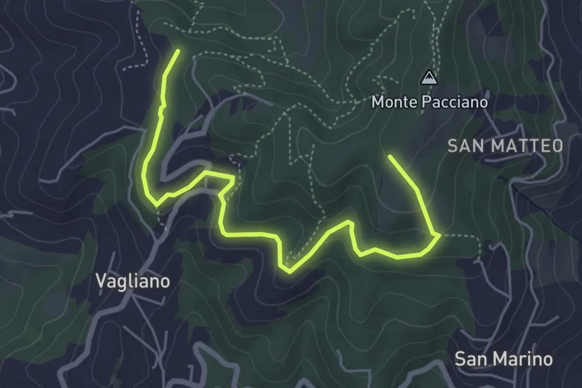
Easy · Trail
Conservone Nuovo – Percorso 943
5.8 km · ↑ 182 m · 1 h 46 min · 4 km away
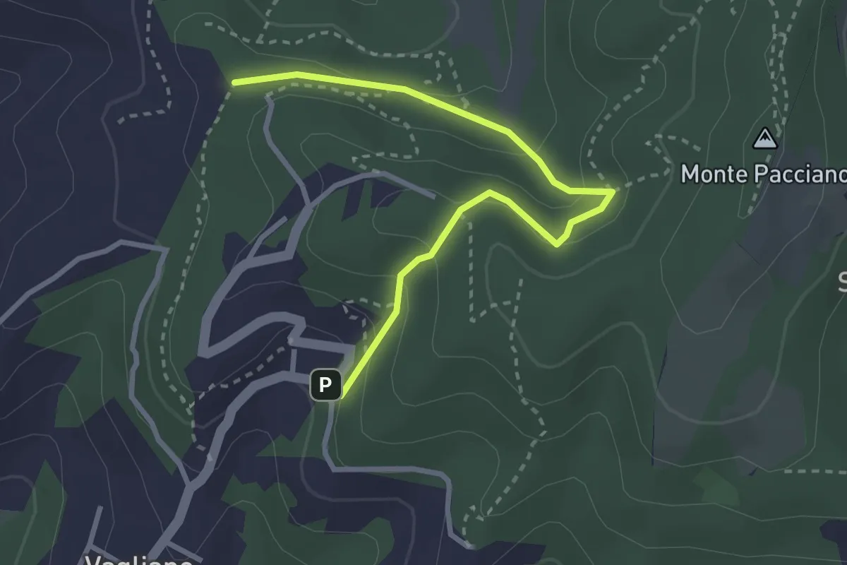
Easy · Trail
Conservone Vecchio – Sentiero 943
3.3 km · ↑ 173 m · 1 h 9 min · 4 km away
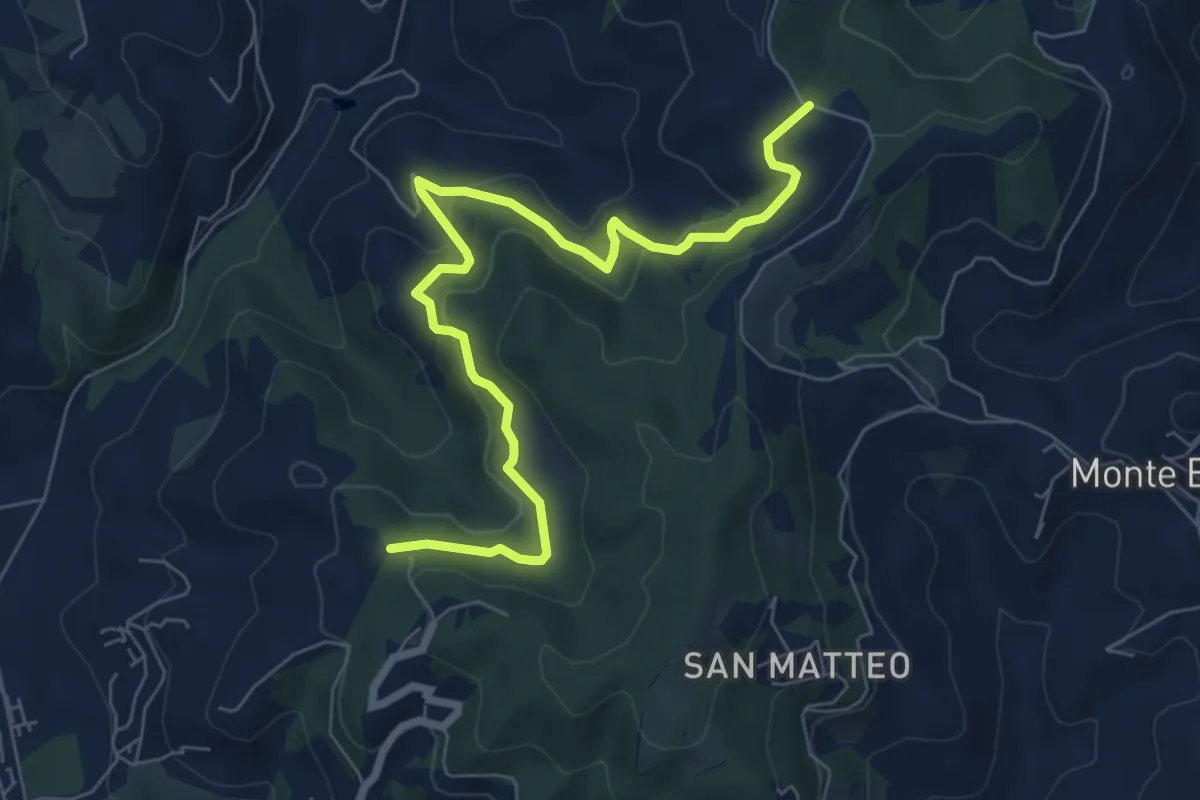
Medium · Trail
Podere Rubbiana – Conservone Nuovo
8.2 km · ↑ 317 m · 2 h 38 min · 5 km away
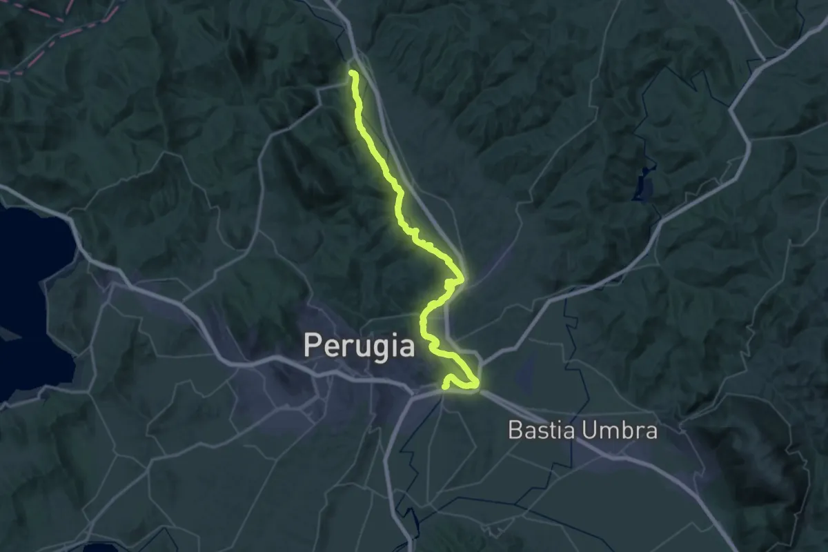
Demanding · Trail
Ascagnano – Lungo Tevere Ponte San Giovanni
29.6 km · ↑ 247 m · 7 h 54 min · 6 km away
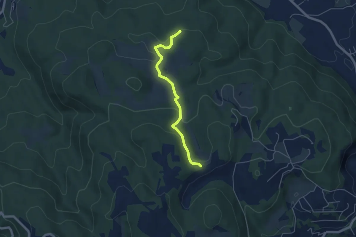
Easy · Trail
Intersezione percorso 943 – Intersezione percorso 947
4.4 km · ↑ 123 m · 1 h 19 min · 6 km away
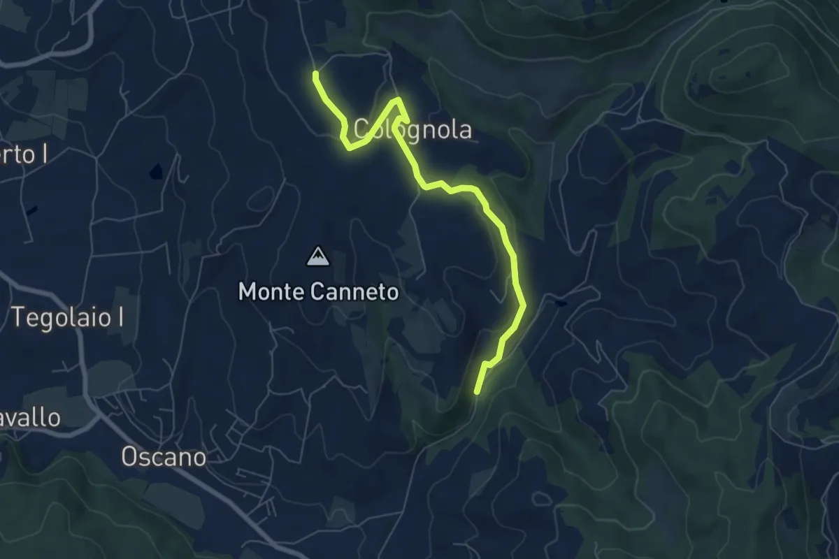
Easy · Trail
Colognola – Incrocio 943
6.9 km · ↑ 214 m · 2 h 6 min · 6 km away
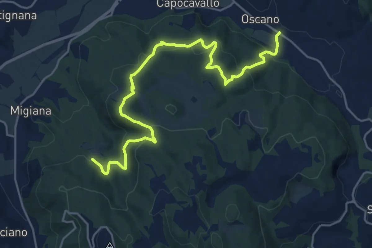
Medium · Trail
Collegamento Canneto
14.3 km · ↑ 639 m · 4 h 45 min · 6 km away
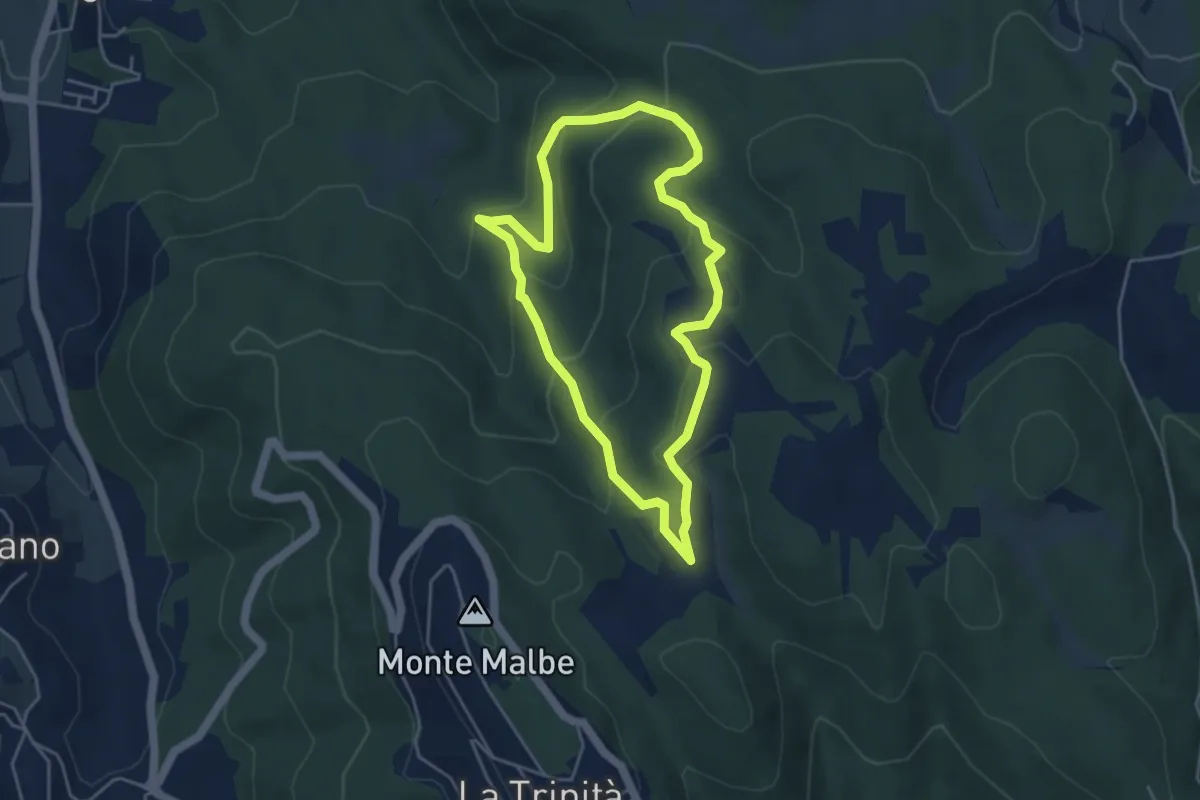
Easy · Trail
Le Trosce
4.3 km · ↑ 230 m · 1 h 35 min · 6 km away
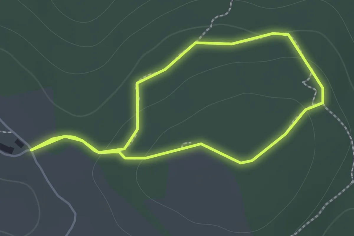
Easy · Trail
Sentiero Fantastico
1.3 km · ↑ 26 m · 23 min · 7 km away
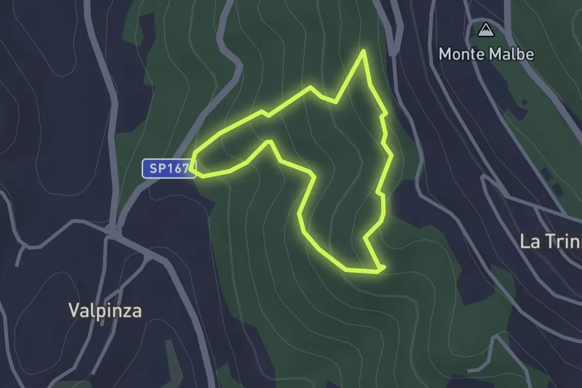
Easy · Trail
Il Poggiolo
2.2 km · ↑ 157 m · 54 min · 7 km away
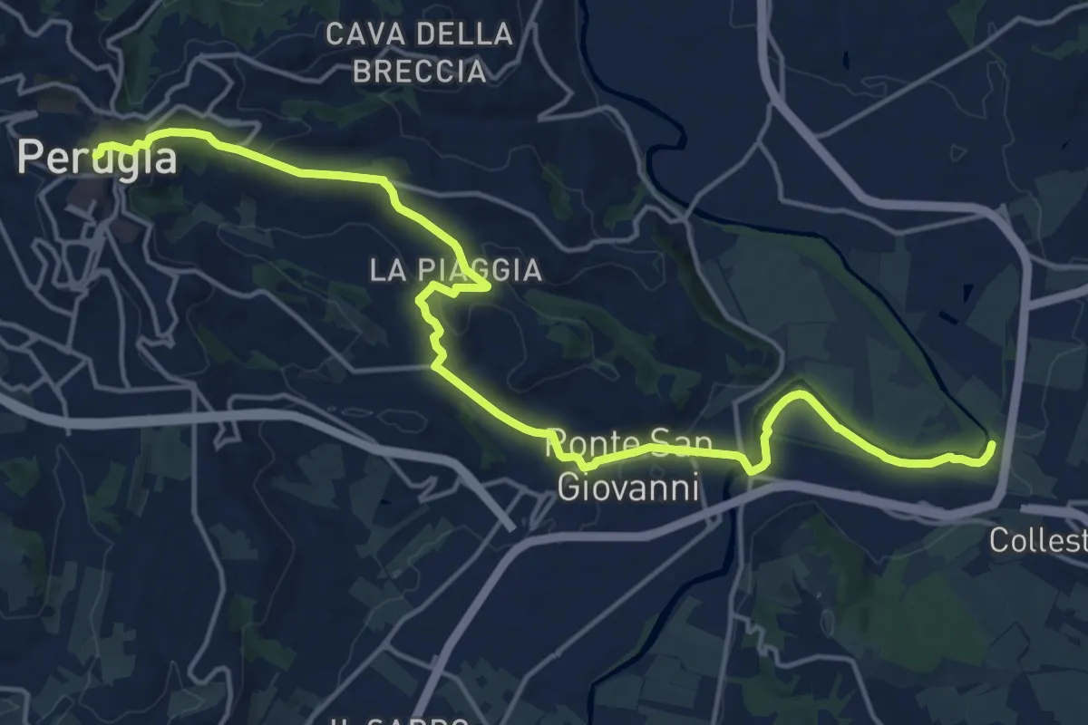
Demanding · Trail
Perugia – Percorso Verde Tevere
20.4 km · ↑ 382 m · 5 h 39 min · 7 km away
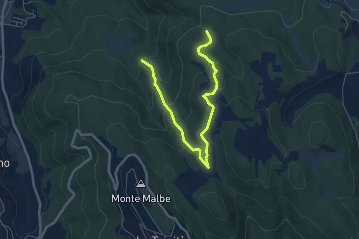
Medium · Trail
Monte Malbe Podere Le Trosce
6.4 km · ↑ 329 m · 2 h 13 min · 7 km away
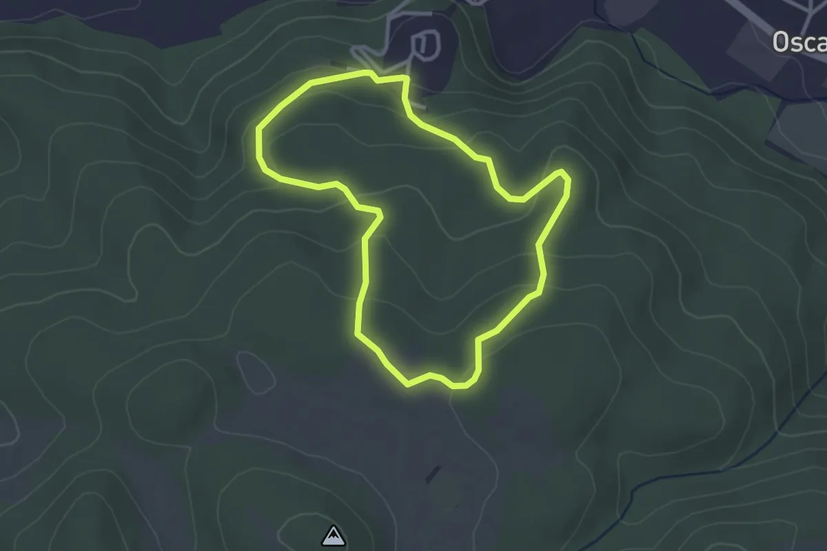
Easy · Trail
Campore
3.0 km · ↑ 122 m · 1 h · 7 km away
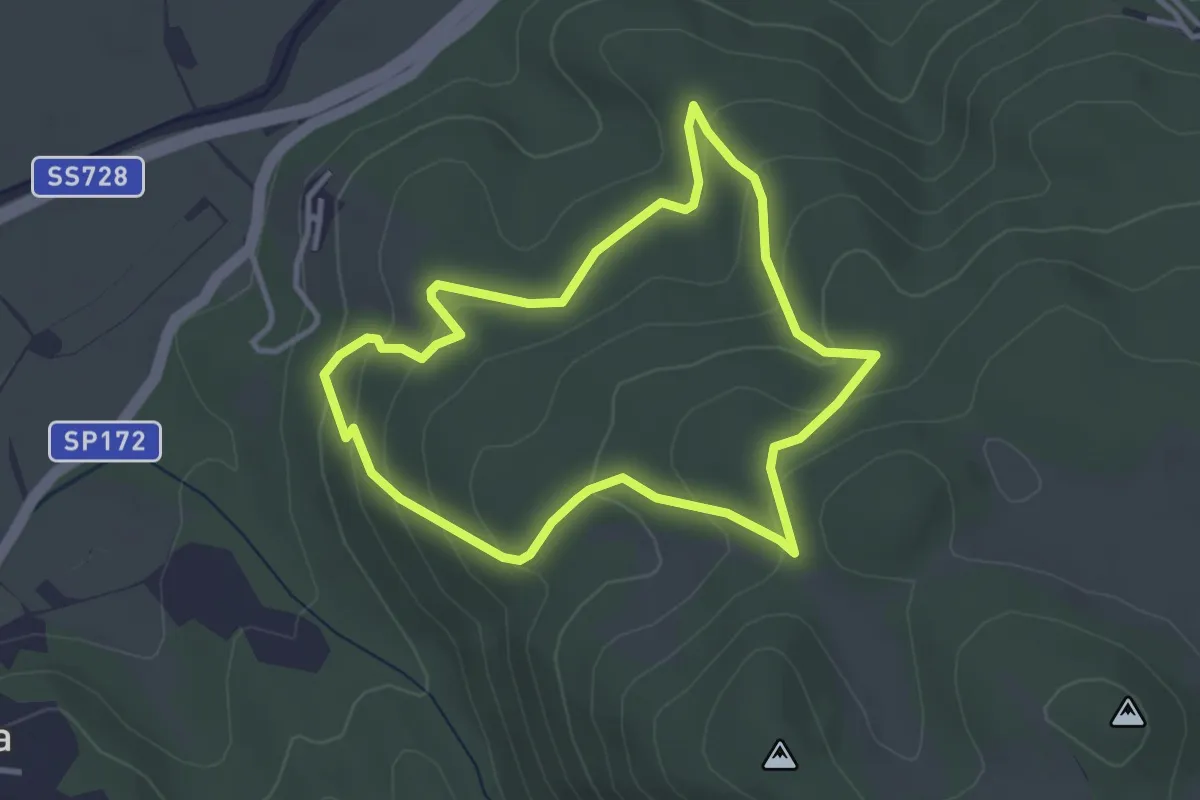
Easy · Trail
Le Piagge
3.4 km · ↑ 158 m · 1 h 11 min · 8 km away
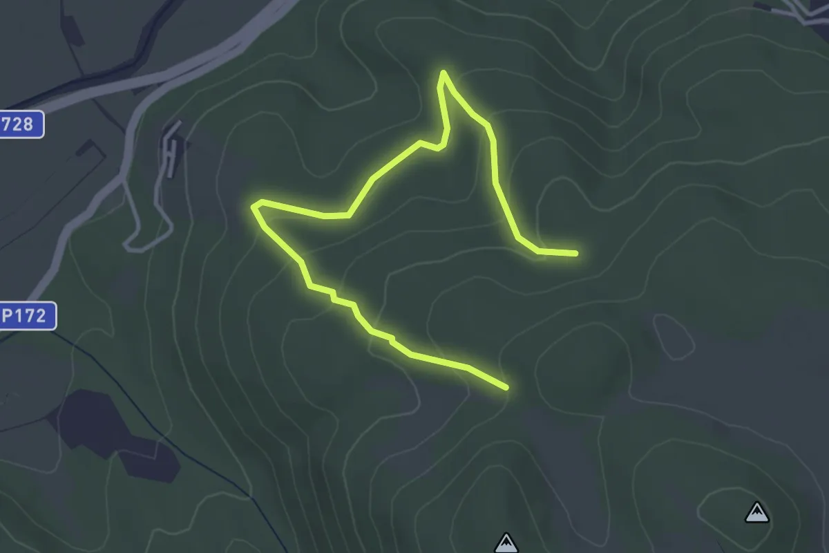
Easy · Trail
Monte Malbe Le Piagge
4.4 km · ↑ 206 m · 1 h 29 min · 8 km away
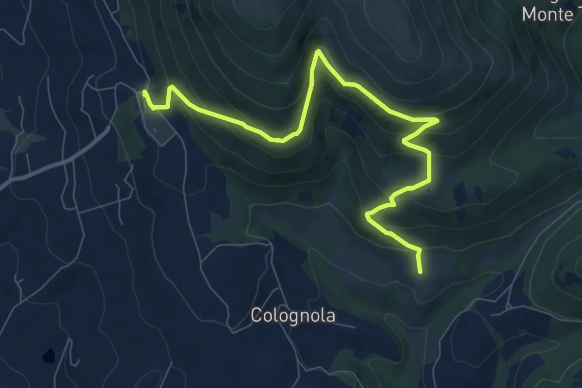
Medium · Trail
Monte Tezio Belvedere - Romitorio
9.1 km · ↑ 577 m · 3 h 24 min · 8 km away
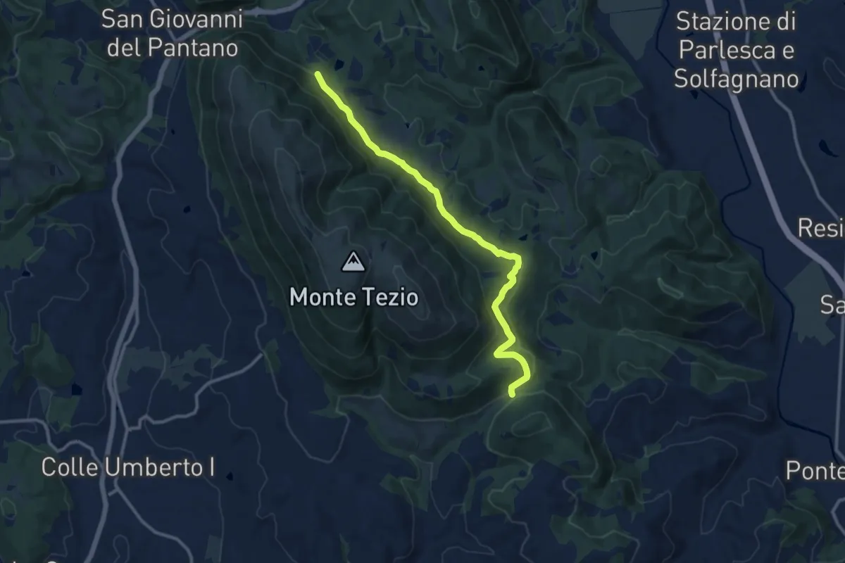
Medium · Trail
Monte Tezio - C. Pavia
11.7 km · ↑ 390 m · 3 h 37 min · 8 km away
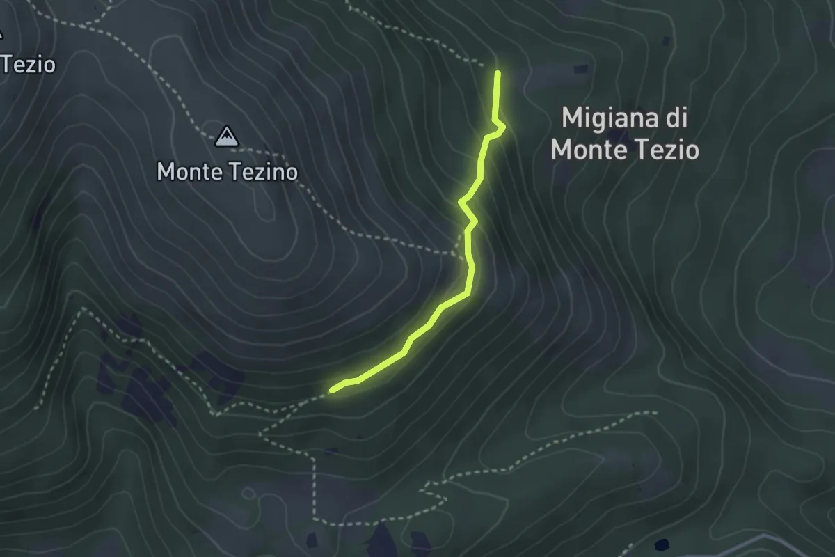
Easy · Trail
Monte Tezio Castel Procoio
2.5 km · ↑ 152 m · 56 min · 9 km away
Medium · Summit
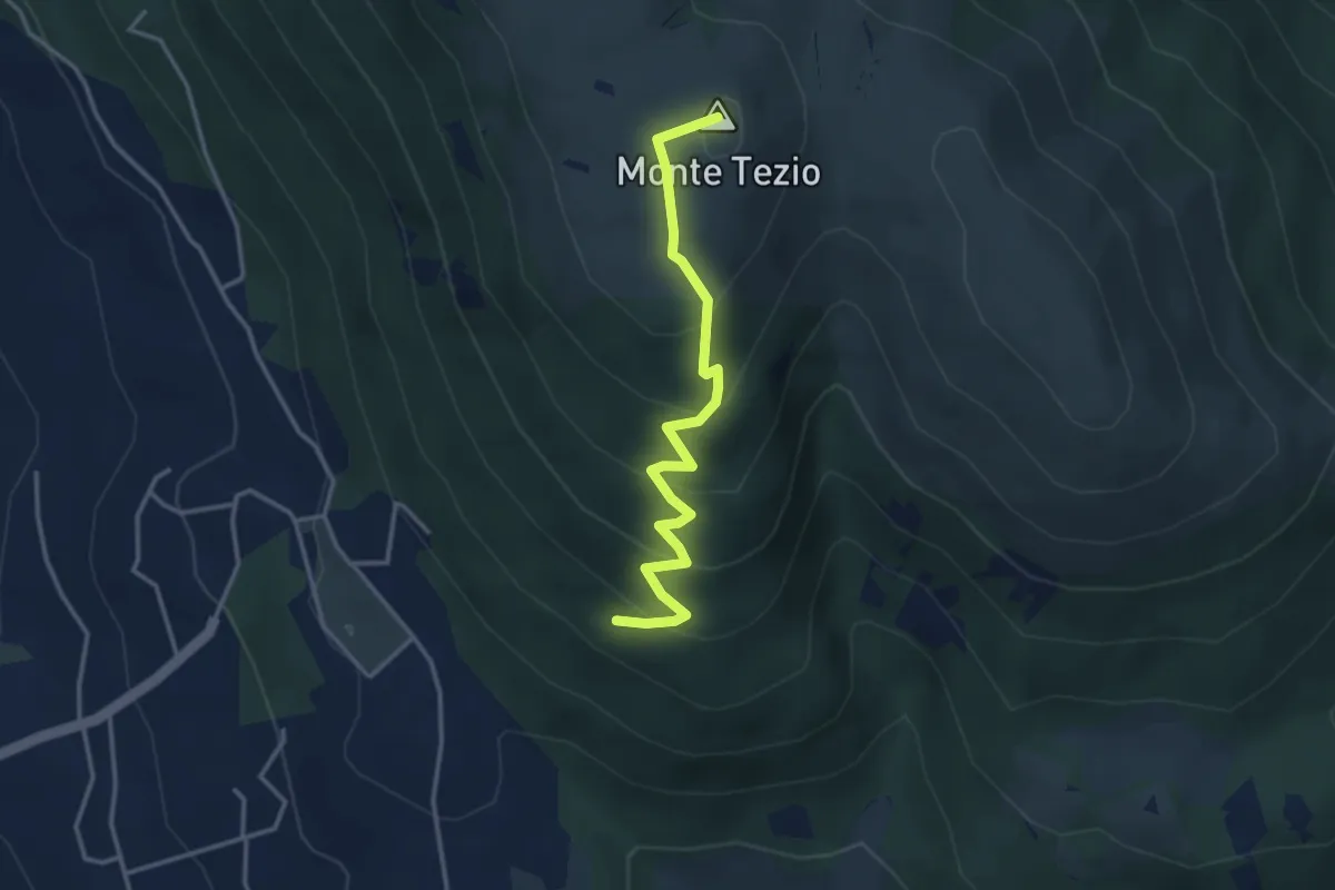
Monte Tezio Croce Fontenuova
3.8 km · ↑ 300 m · 1 h 32 min · 9 km away
Medium · Summit
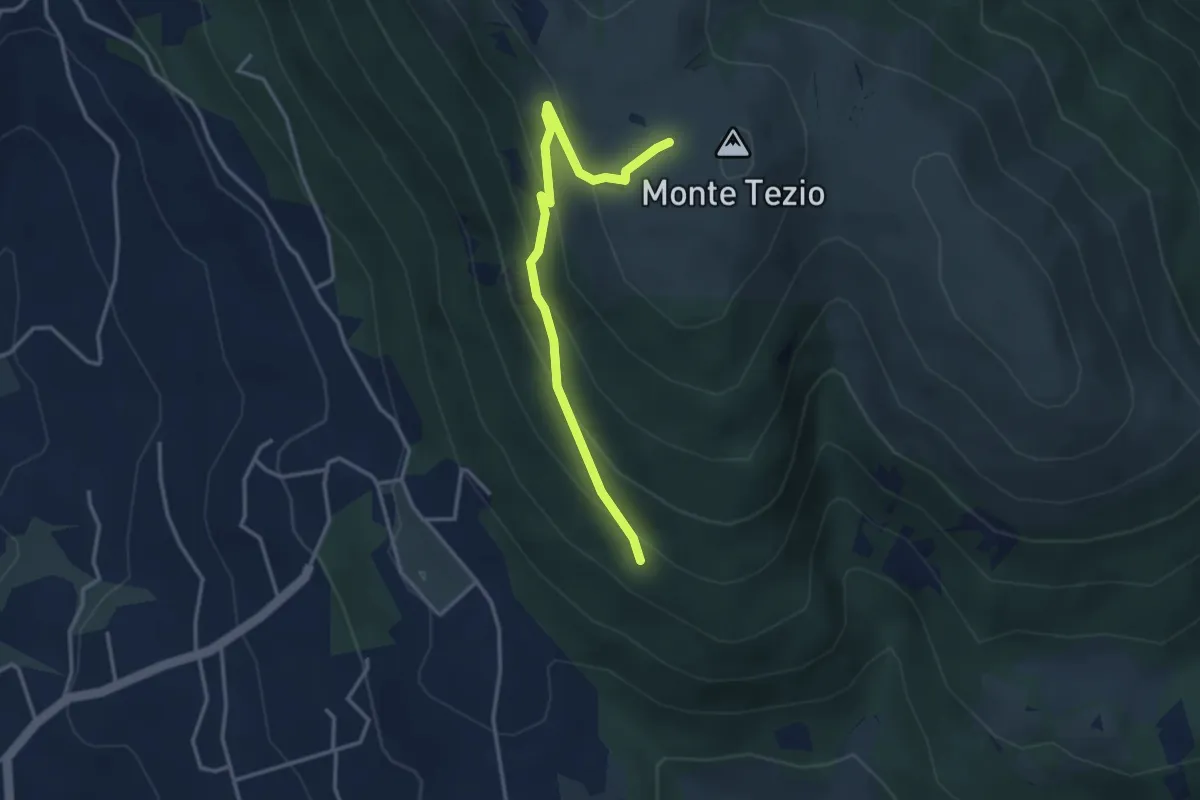
Infopoint Belvedere – C. Pavia
3.7 km · ↑ 270 m · 1 h 27 min · 9 km away
Easy · Trail
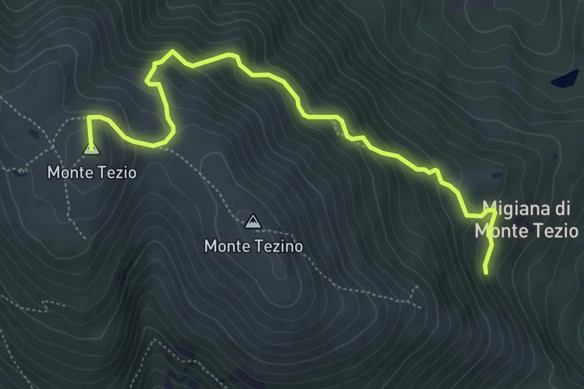
Monte Tezio Le Neviere
3.7 km · ↑ 252 m · 1 h 25 min · 9 km away
Medium · Summit
Monte Tezio Migiana
6.3 km · ↑ 448 m · 2 h 27 min · 9 km away
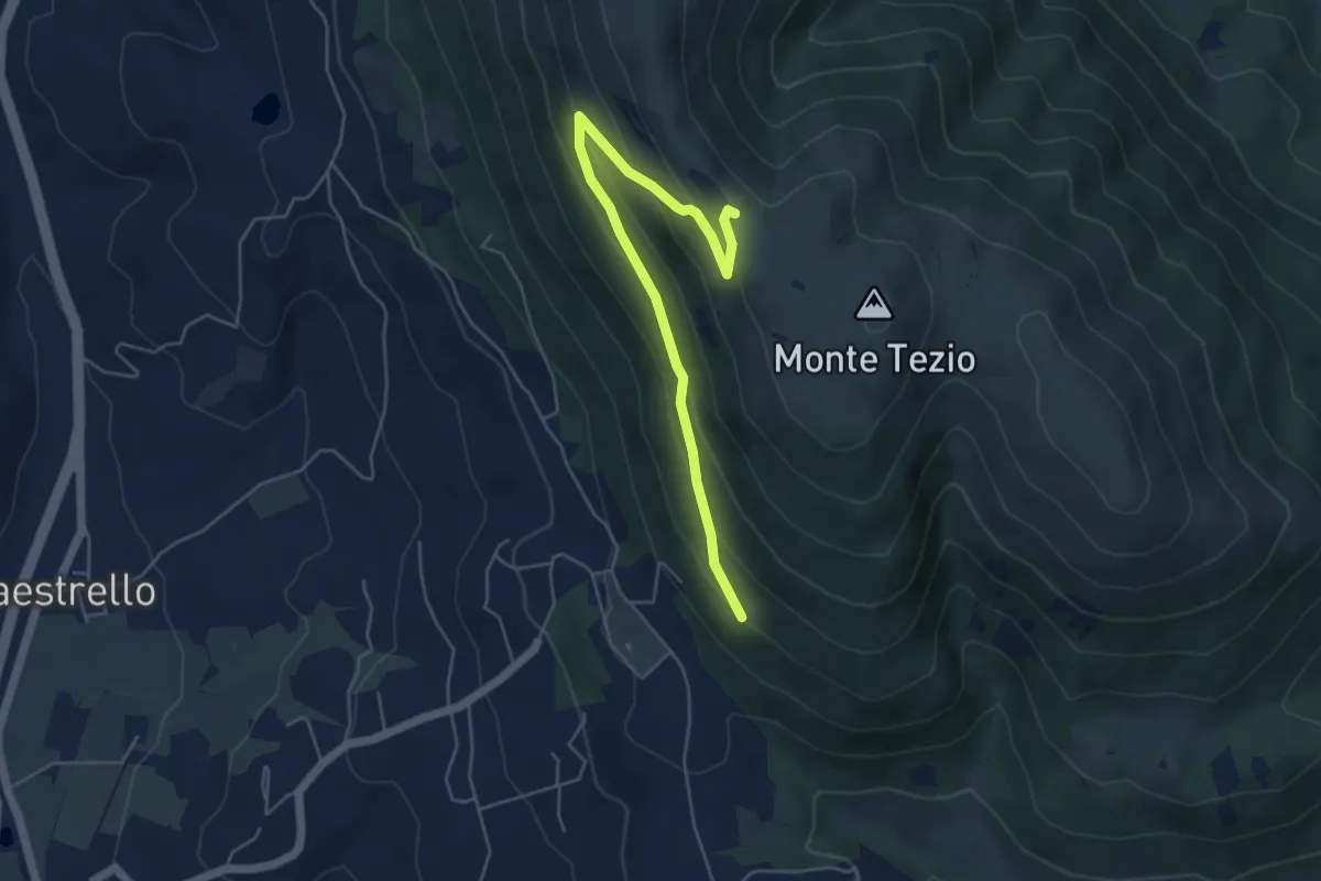
Medium · Trail
Monte Tezio Miralago
5.6 km · ↑ 291 m · 1 h 57 min · 9 km away
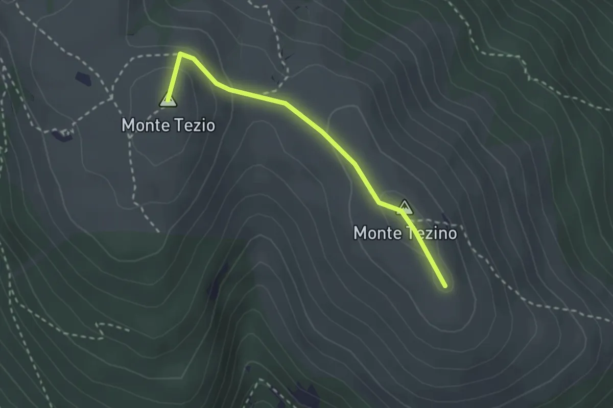
Easy · Summit
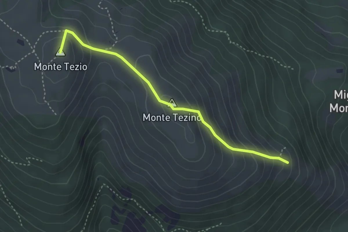
Monte Tezio – Monte Tezino
2.5 km · ↑ 98 m · 48 min · 9 km away
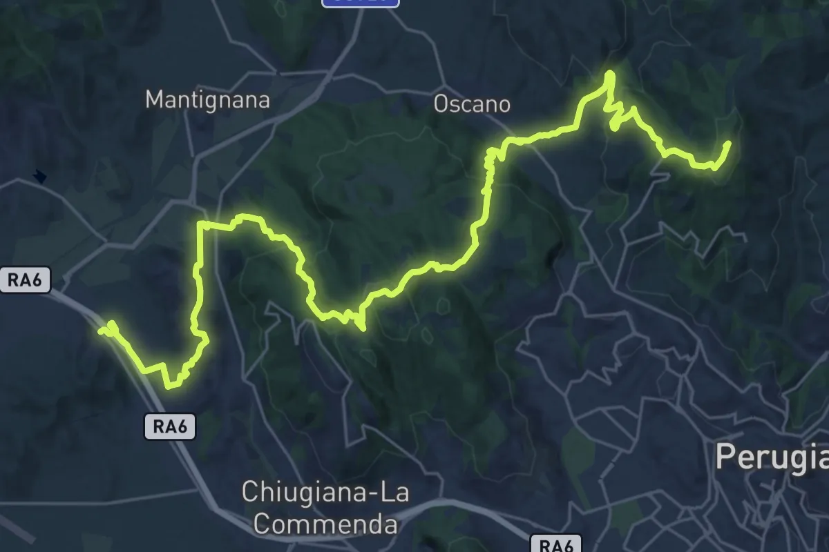
Demanding · Summit
Ponte Pattoli – Taverne di Corciano (S. Pietro)
38.9 km · ↑ 1453 m · 12 h 20 min · 10 km away
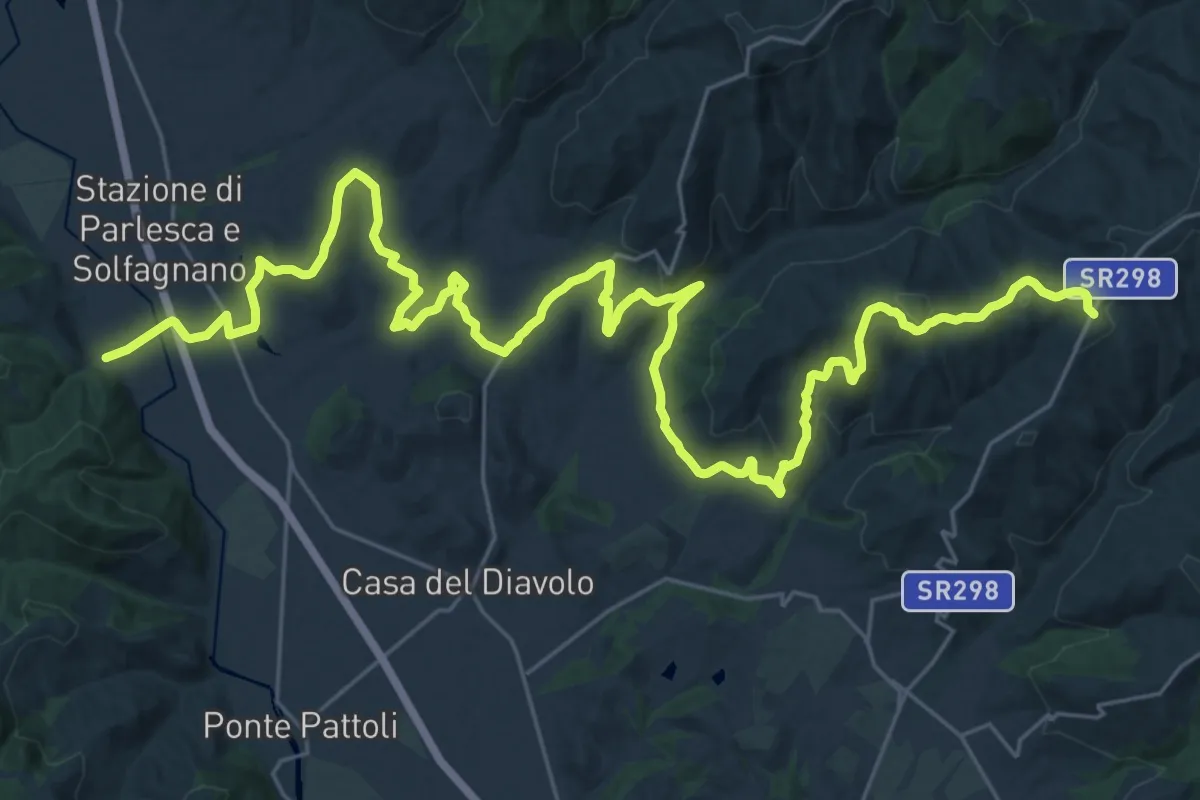
Demanding · Trail
Pieve S. Quirico – Casacce
21.6 km · ↑ 713 m · 6 h 45 min · 11 km away
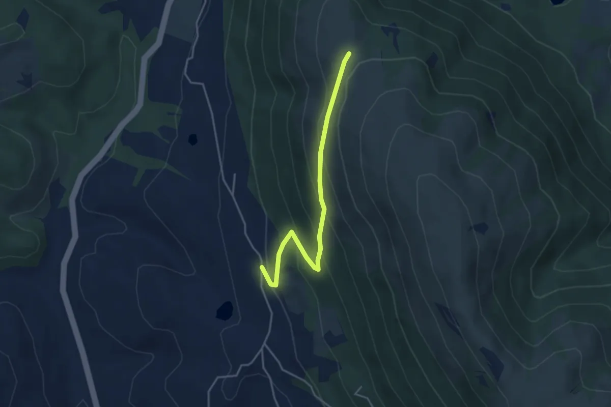
Easy · Trail
Pieve Petroia – Sentiero 962
3.9 km · ↑ 247 m · 1 h 27 min · 11 km away
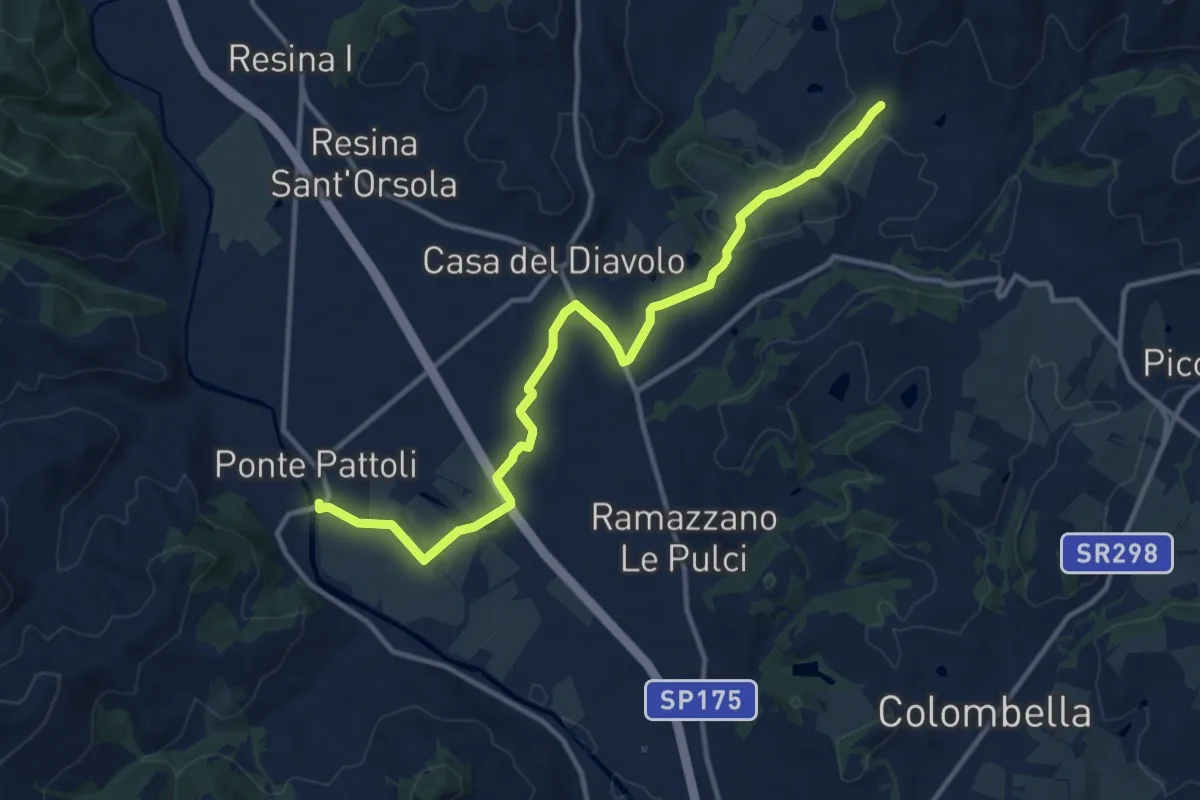
Medium · Trail
Ponte Pattoli
13.9 km · ↑ 177 m · 3 h 40 min · 12 km away
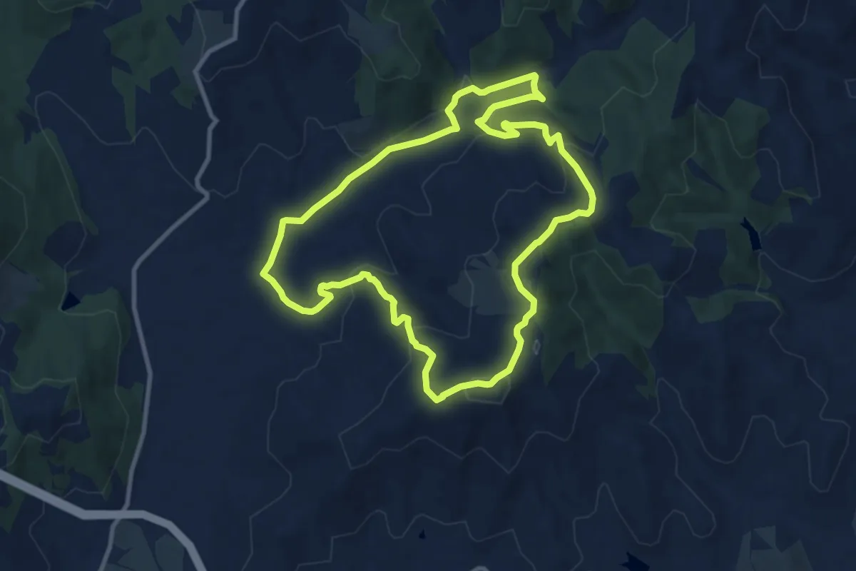
Medium · Trail
Goga di Magione - Caligiana
9.4 km · ↑ 302 m · 3 h 1 min · 13 km away
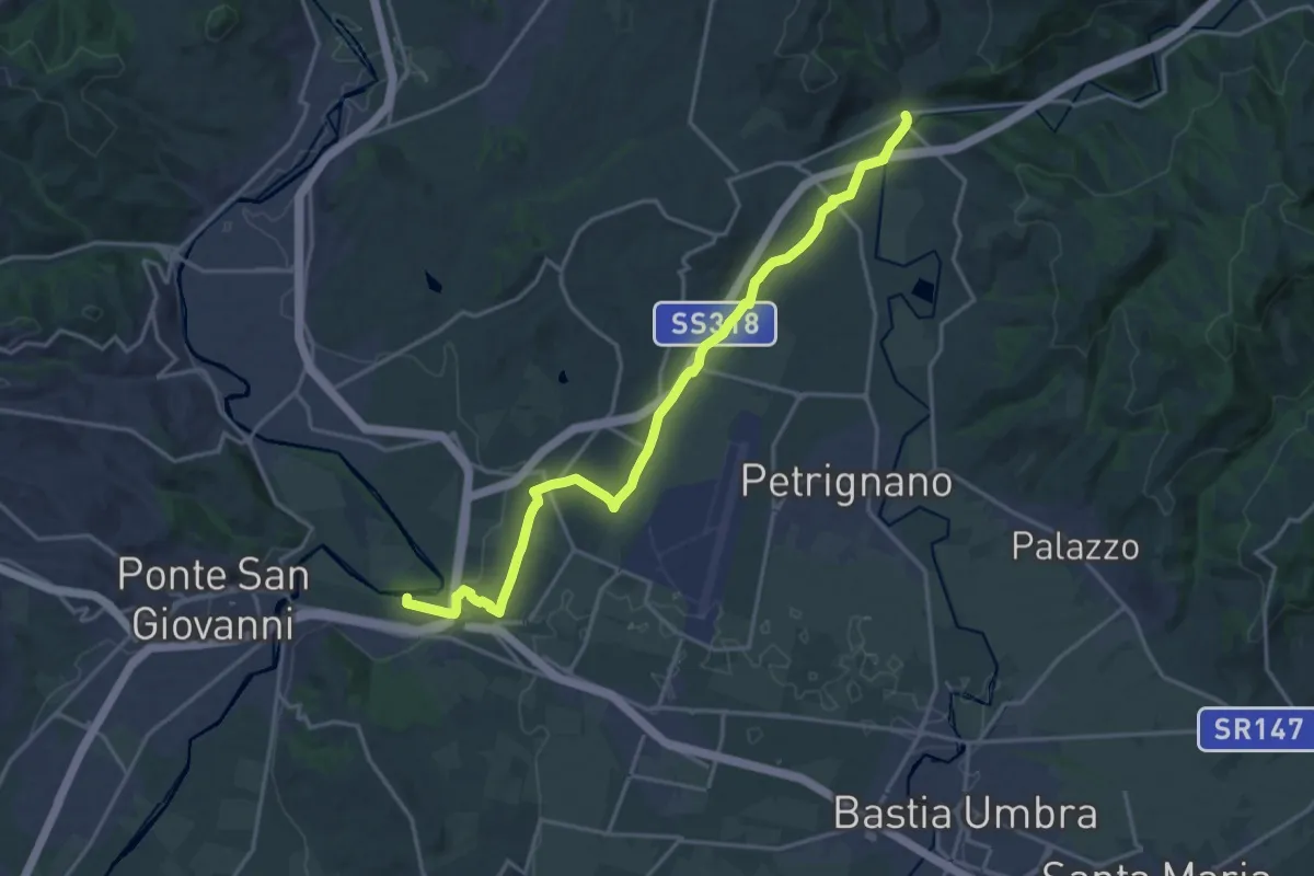
Demanding · Trail
Fiume Tevere Collestrada – Fiume Chiascio Pianello
20.8 km · ↑ 172 m · 5 h 17 min · 13 km away
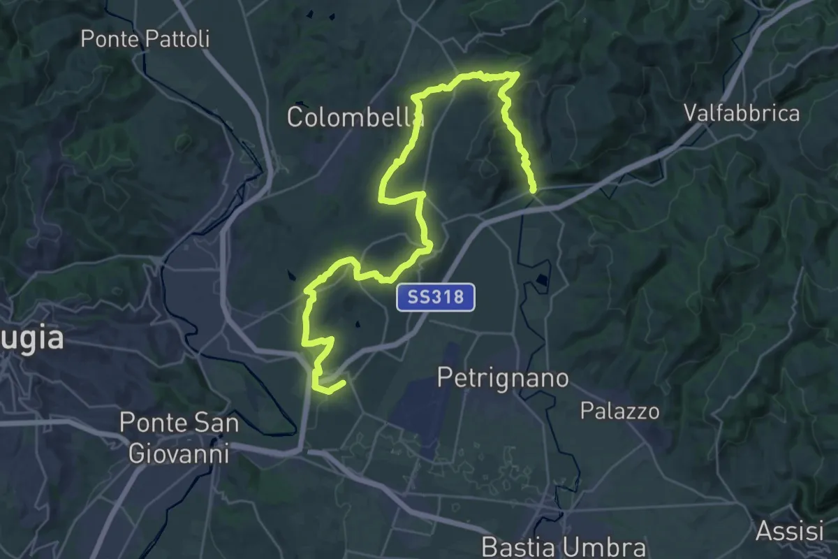
Demanding · Trail
Sentiero d'Arna
19.5 km · ↑ 521 m · 6 h · 13 km away
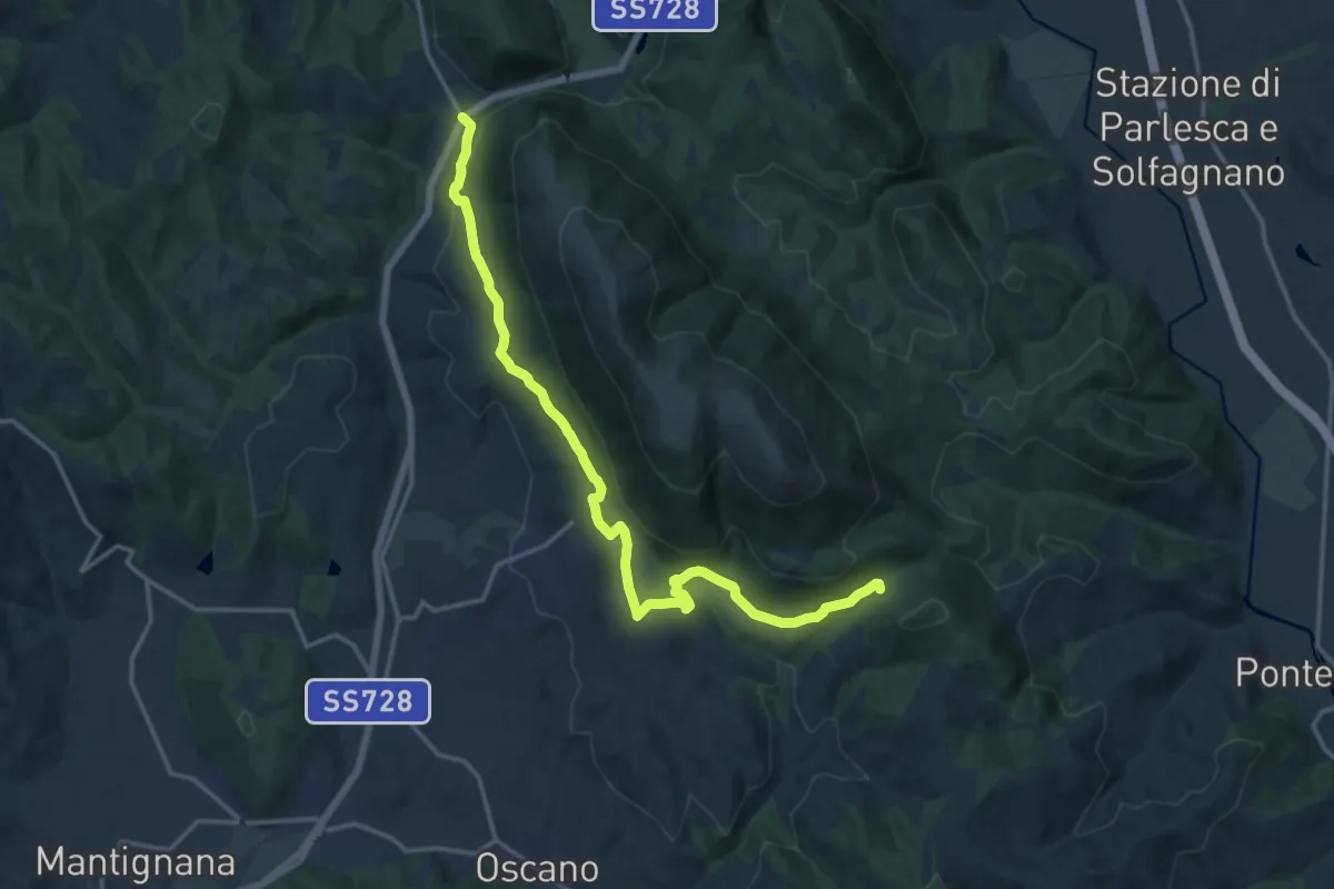
Medium · Trail
Colognola – San Giovanni del Pantano
17.9 km · ↑ 459 m · 5 h 13 min · 13 km away
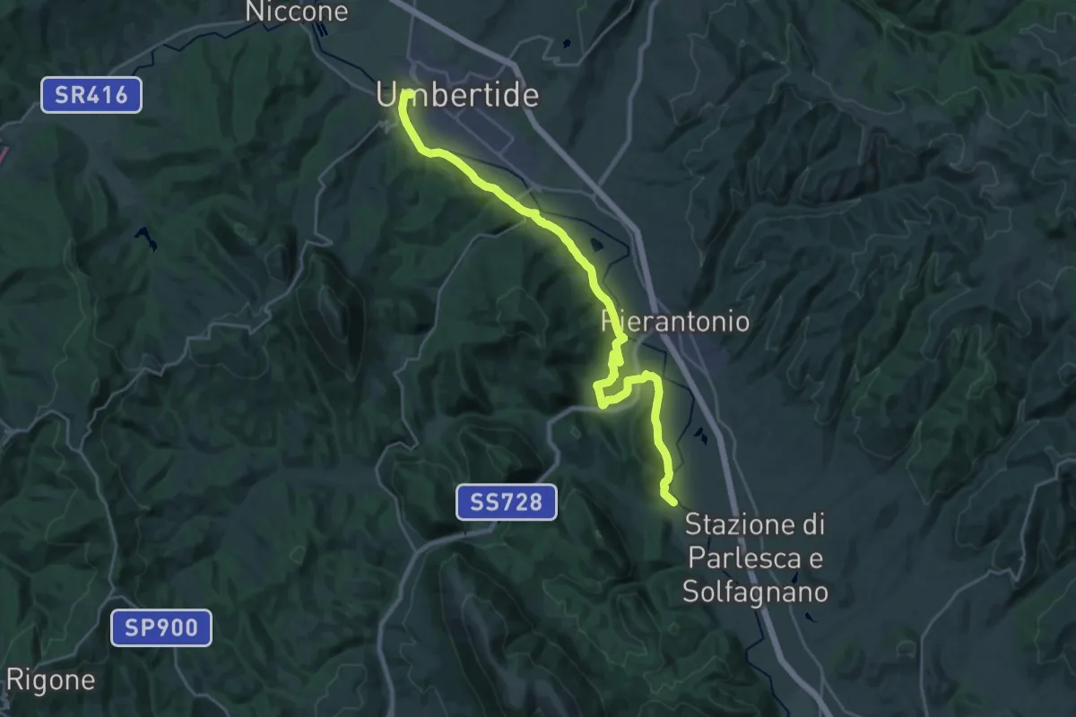
Demanding · Trail
Umbertide – La Bruna
27.3 km · ↑ 422 m · 7 h 22 min · 13 km away
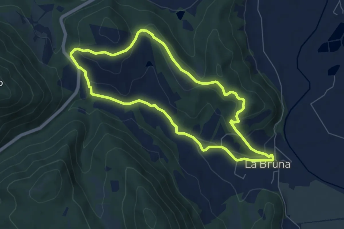
Easy · Trail
Castiglione Ugolino
6.4 km · ↑ 211 m · 2 h 4 min · 14 km away
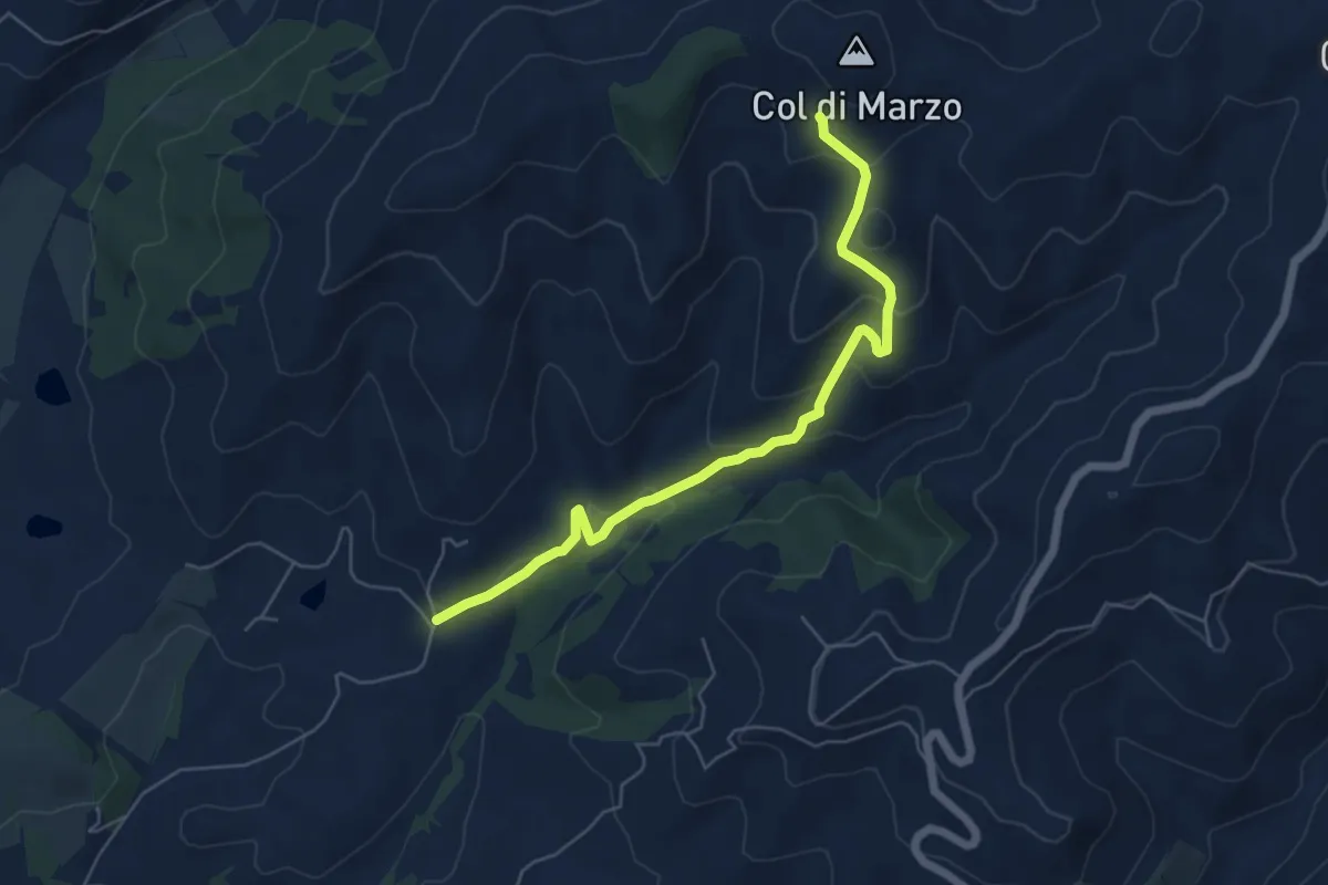
Easy · Trail
Montelabate – Col di Marzo
6.2 km · ↑ 293 m · 2 h 6 min · 15 km away