Trails near Pescasseroli
122 hikes starting within 15 km, nearest first.
Nearest first, page 1 of 3
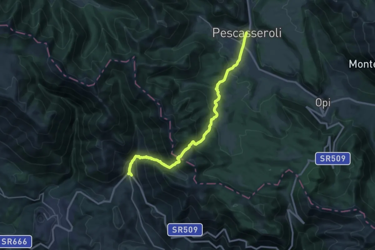
Demanding · Trail
Pescasseroli – Alvito - Loc. Trichiano
21.9 km · ↑ 1293 m · 7 h 59 min · under 1 km away
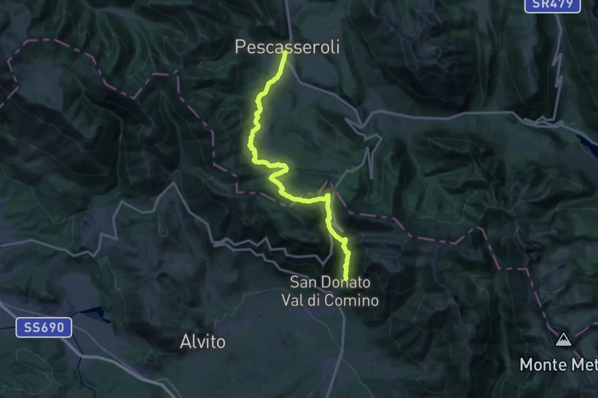
Medium · Trail
Via dei Lupi - Tappa 12
16.5 km · ↑ 536 m · 5 h 24 min · under 1 km away
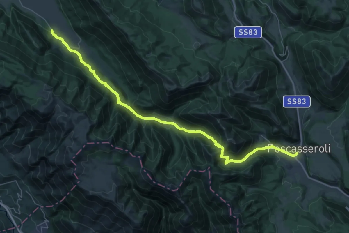
Demanding · Trail
Via dei Lupi - Tappa 11
18.8 km · ↑ 671 m · 6 h 15 min · under 1 km away
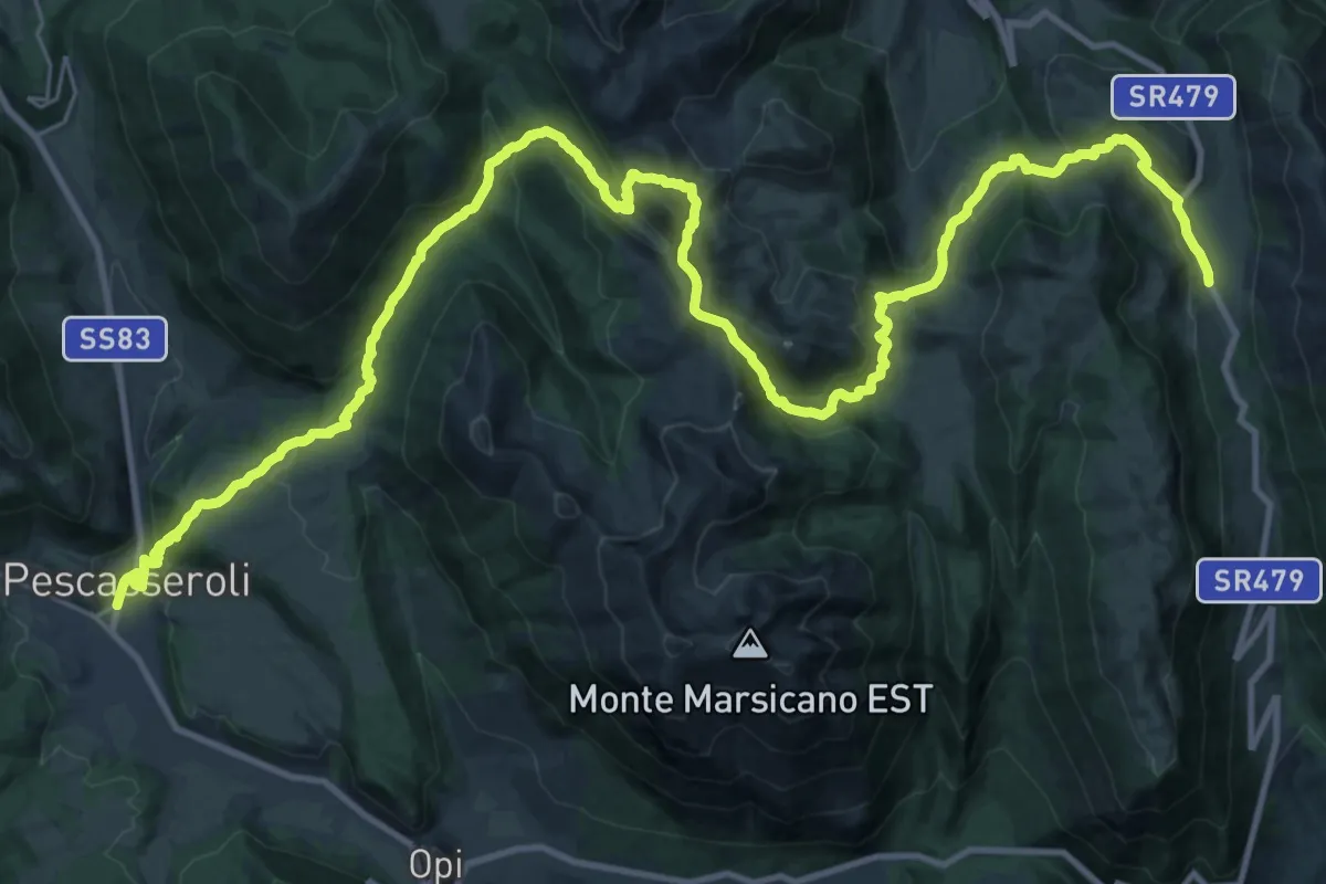
Demanding · Cabin
Via dei Lupi - Tappa 12V
22.2 km · ↑ 1145 m · 7 h 49 min · under 1 km away
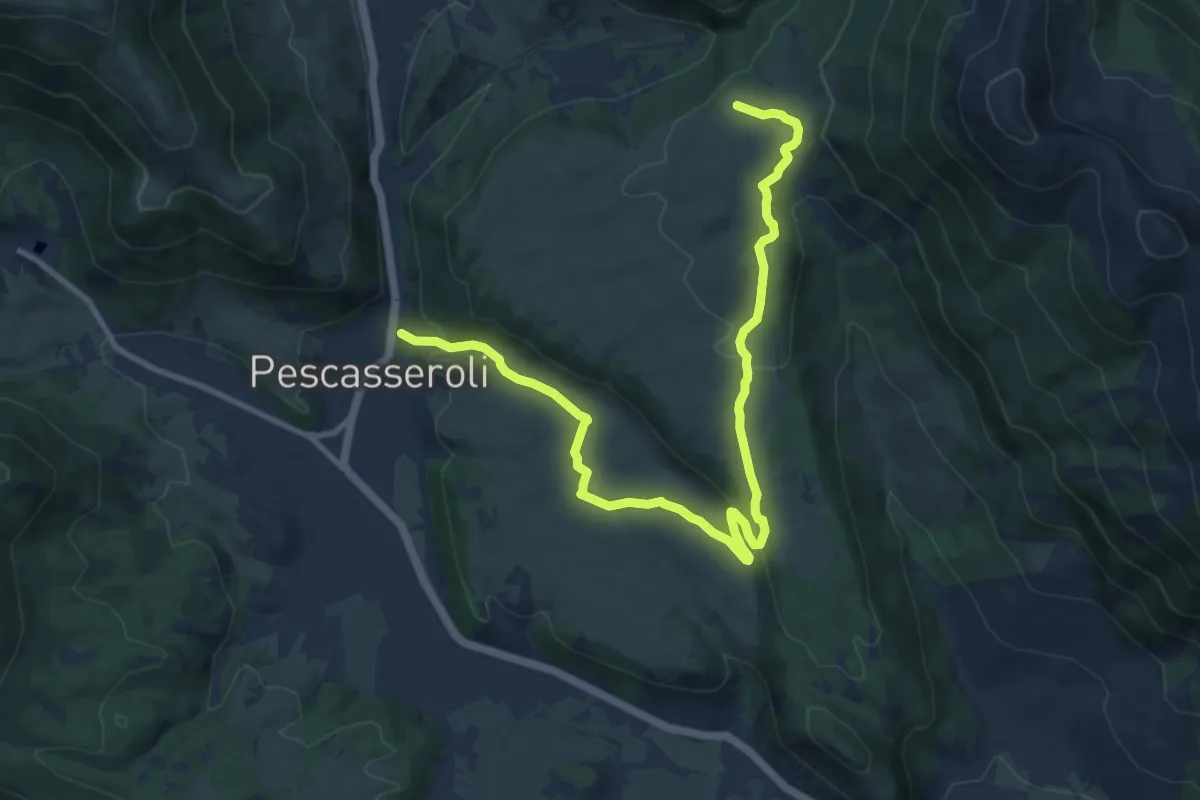
Medium · Trail
Pescasseroli – Colli Alti
13.5 km · ↑ 385 m · 4 h 1 min · under 1 km away
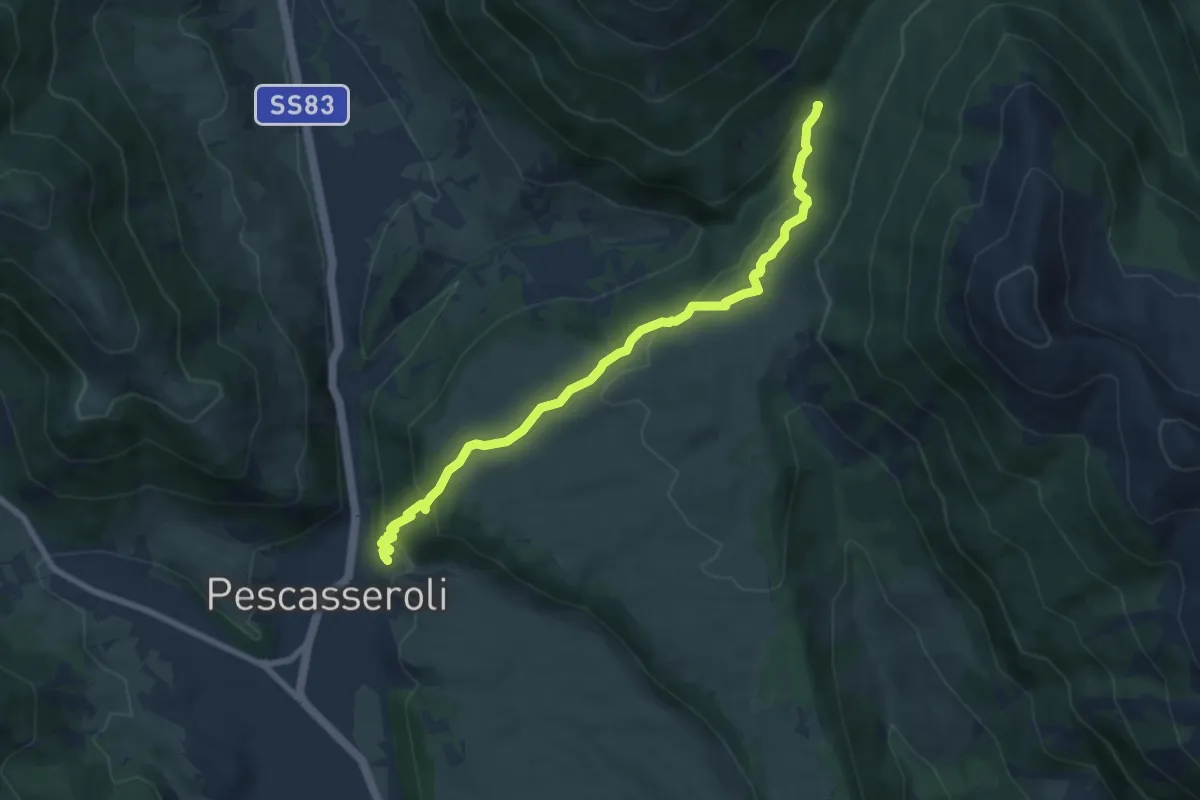
Medium · Trail
Pescasseroli – Valle Prato Rosso
8.6 km · ↑ 306 m · 2 h 41 min · under 1 km away
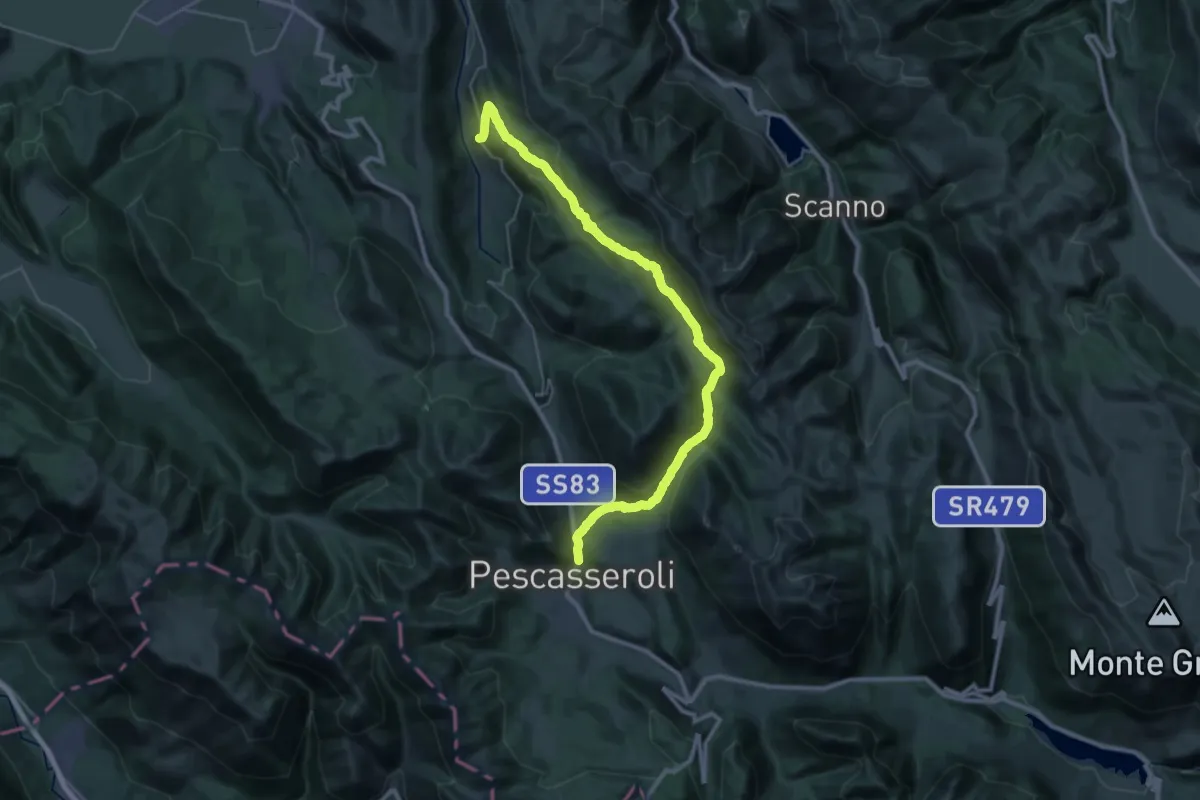
Demanding · Trail
Pescasseroli – Bisegna
20.1 km · ↑ 756 m · 6 h 39 min · under 1 km away
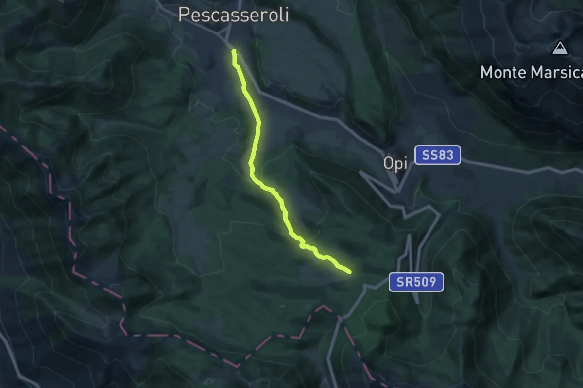
Medium · Trail
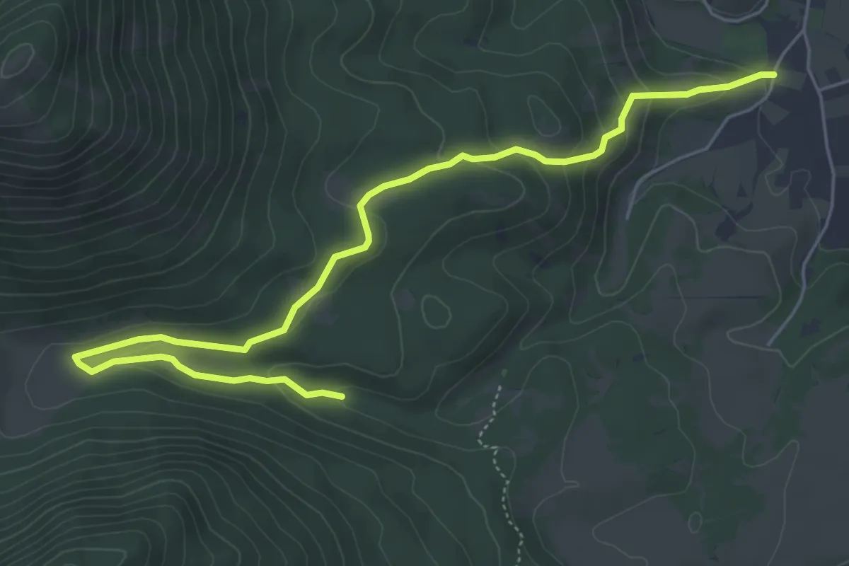
Pescasseroli – Macchiarvana
11.9 km · ↑ 354 m · 3 h 34 min · 1 km away
Easy · Trail
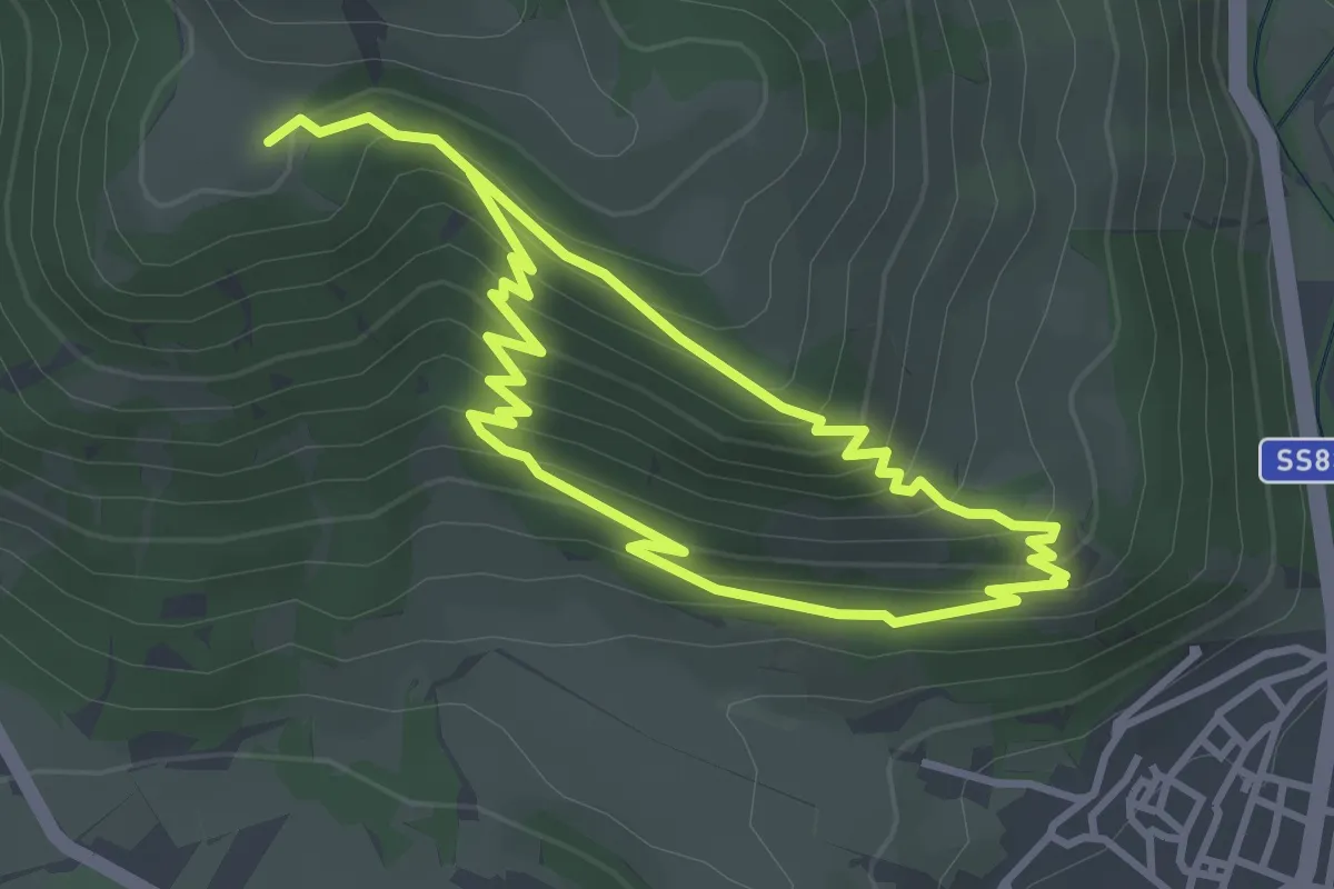
Colle Carpio – Vallone Pesco di Lordo
7.2 km · ↑ 257 m · 2 h 16 min · 1 km away
Easy · Trail
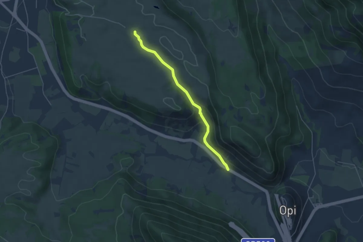
Castel Mancino – Stazzo di Monte Forcella
3.4 km · ↑ 238 m · 1 h 21 min · 1 km away
Easy · Trail
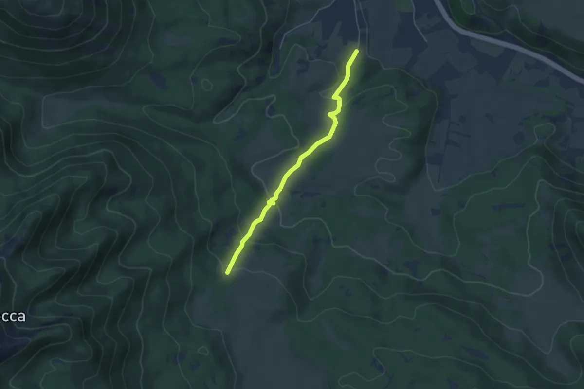
Pietre Bianche – Colli Bassi
4.6 km · ↑ 125 m · 1 h 21 min · 2 km away
Easy · Trail
Pescasseroli – Valle Mancina
4.7 km · ↑ 197 m · 1 h 32 min · 2 km away
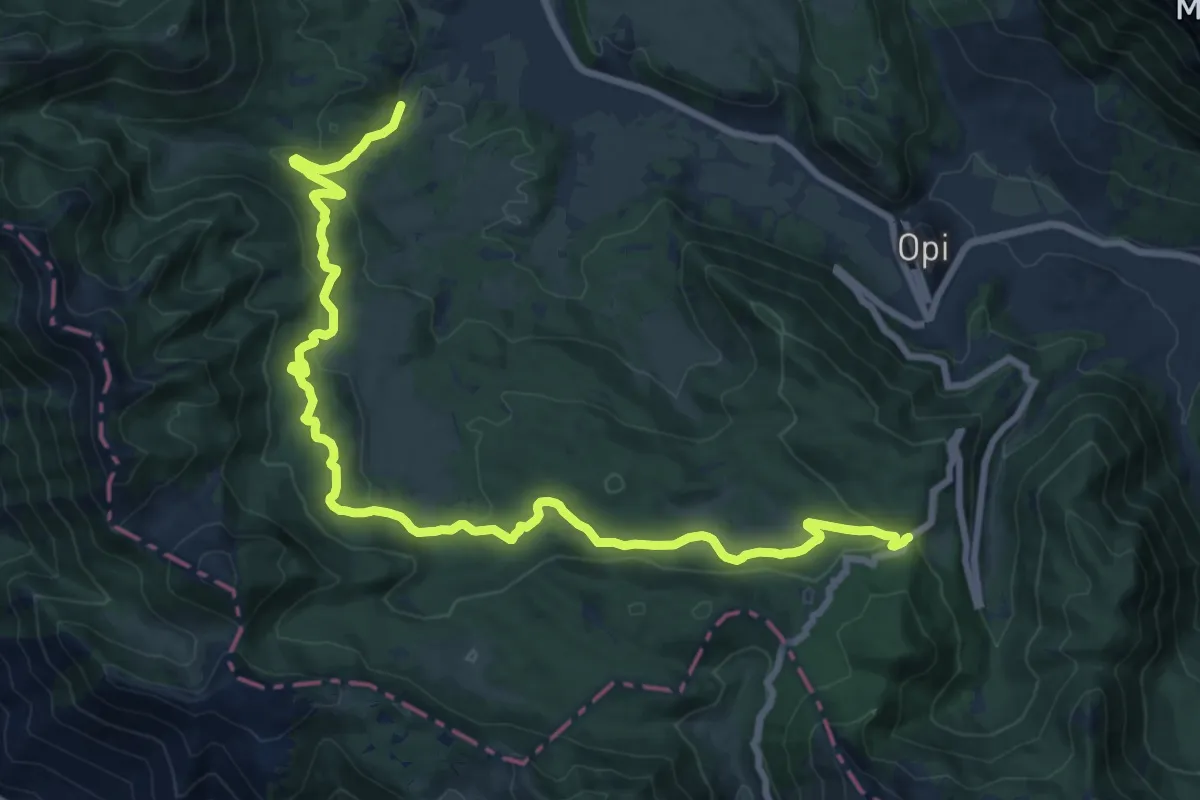
Demanding · Trail
Bocca del Petroso – SR 509 di Forca D'Acero
22.2 km · ↑ 644 m · 6 h 38 min · 2 km away
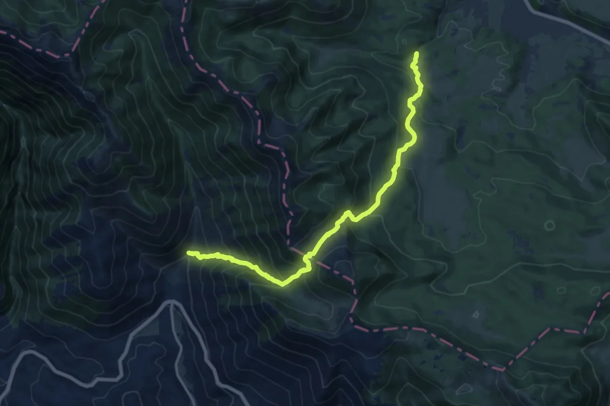
Demanding · Trail
Fonte La Difesa – Capo D'Acqua
14.3 km · ↑ 1072 m · 5 h 42 min · 3 km away
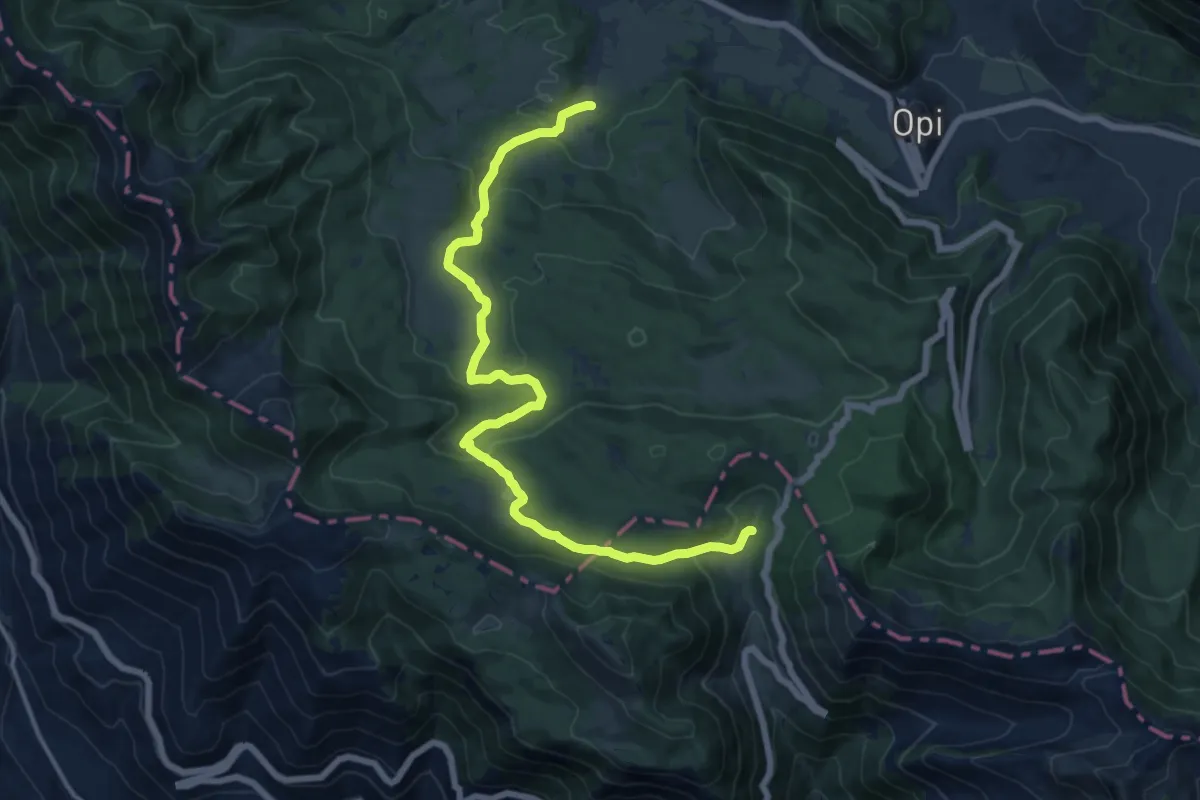
Medium · Trail
Spinella – Forca D'Acero
16.9 km · ↑ 548 m · 5 h 11 min · 3 km away
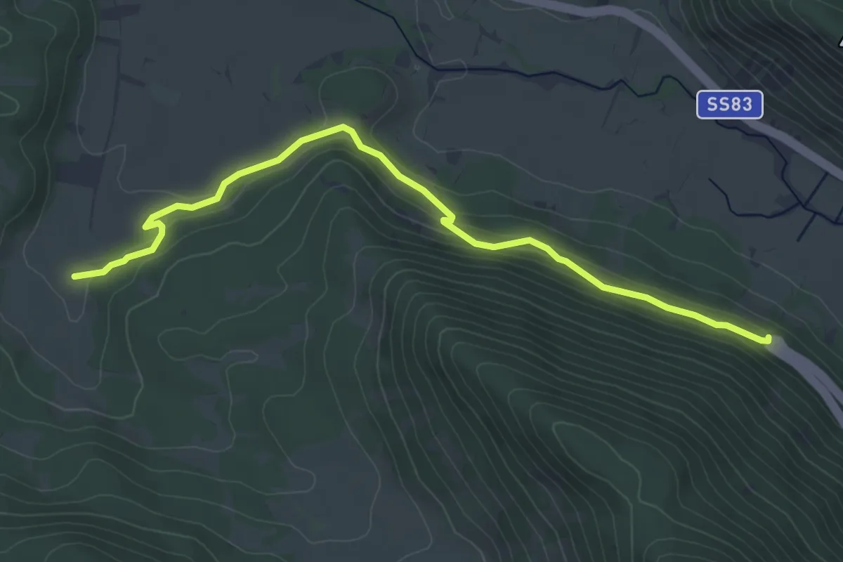
Easy · Trail
La Madonnina – Spinella
5.6 km · ↑ 160 m · 1 h 41 min · 3 km away
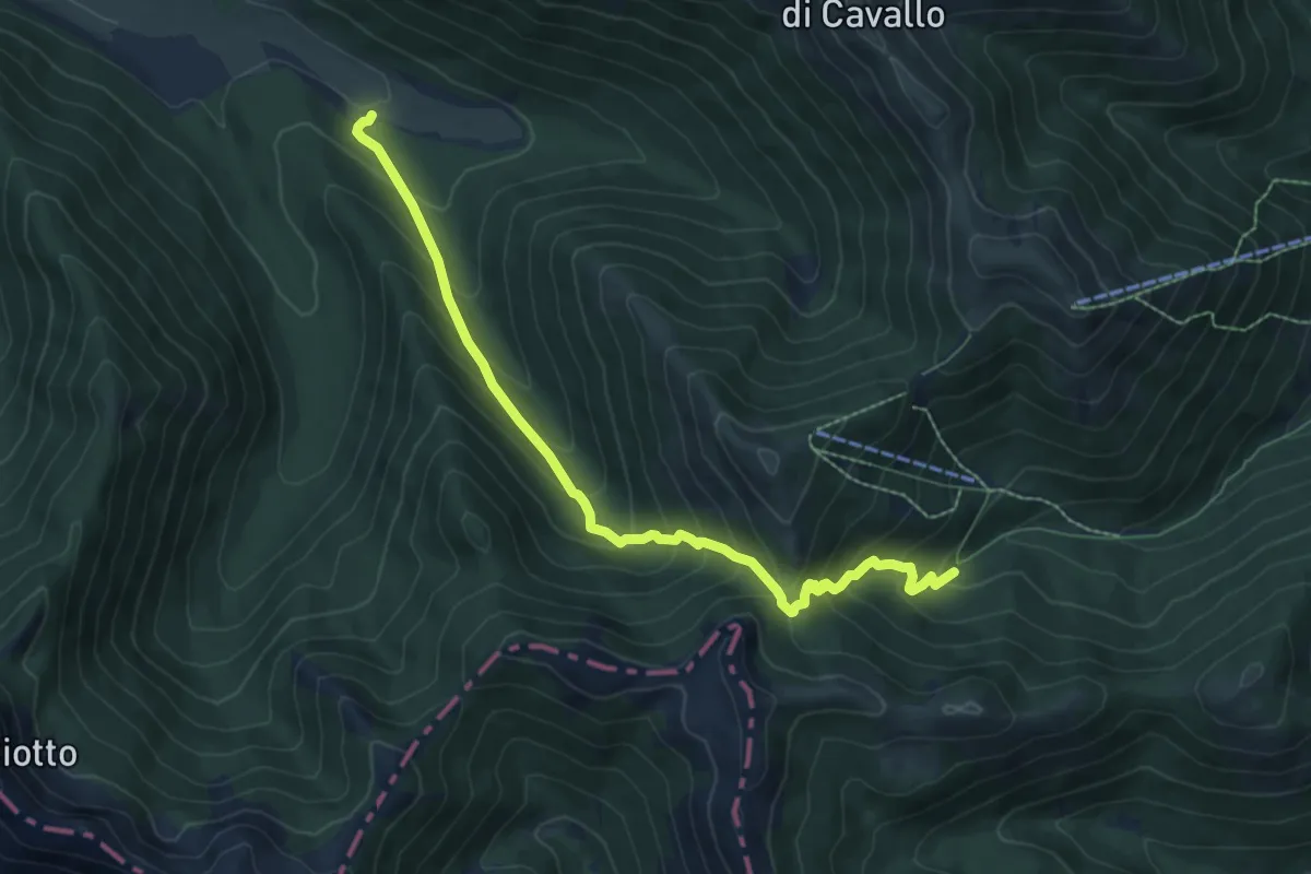
Medium · Trail
Vallone Pesco Di Iorio – Prati D'Angro
8.4 km · ↑ 705 m · 3 h 31 min · 4 km away
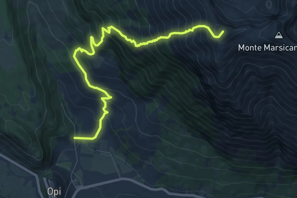
Demanding · Summit
Le Casette – Monte Marsicano
11.2 km · ↑ 1134 m · 5 h 7 min · 4 km away
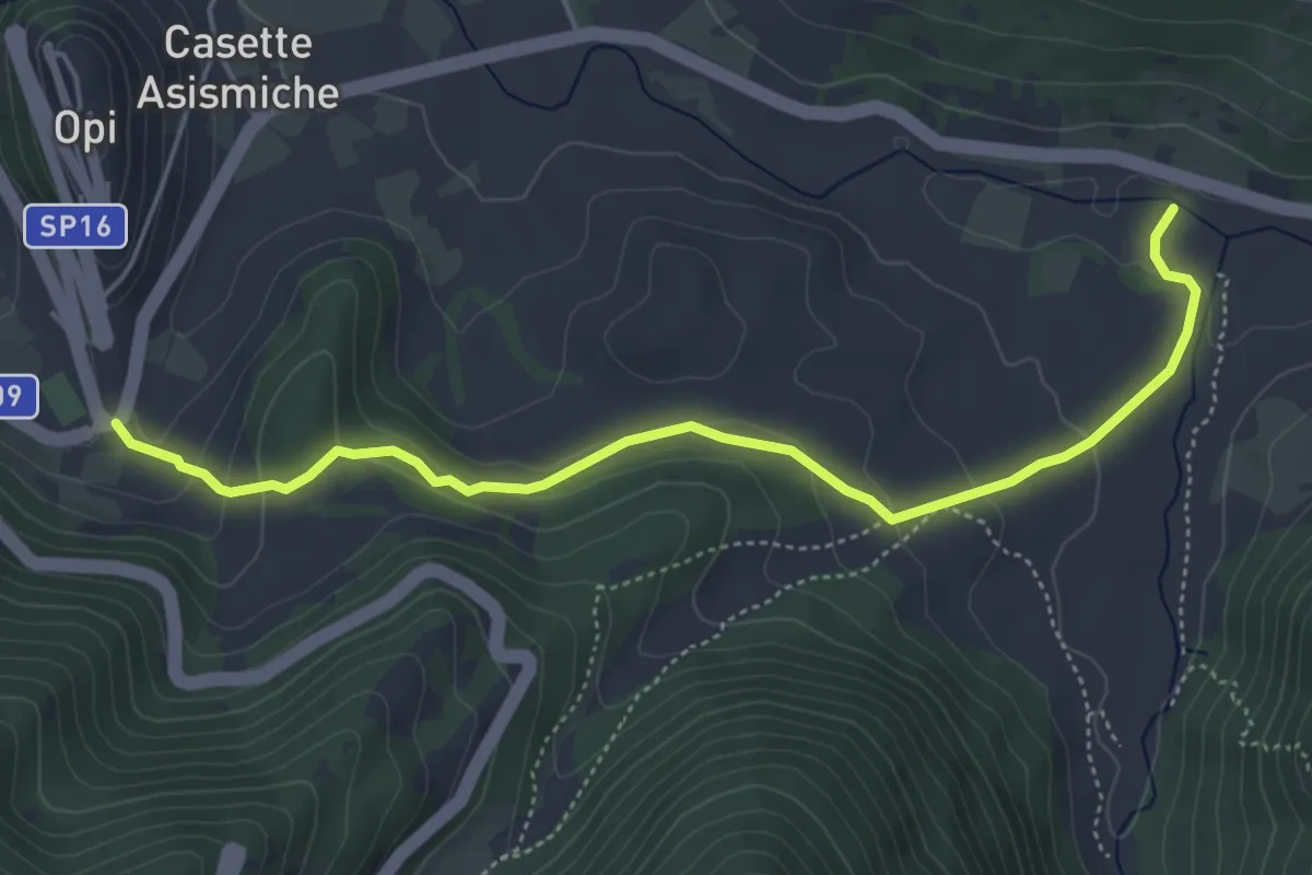
Medium · Trail
Tratturo Regio
5.7 km · ↑ 199 m · 1 h 46 min · 5 km away
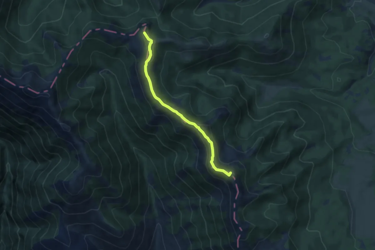
Demanding · Summit
Rifugio Di Iorio – Valico di Monte Tranquillo
7.0 km · ↑ 241 m · 2 h 10 min · 5 km away
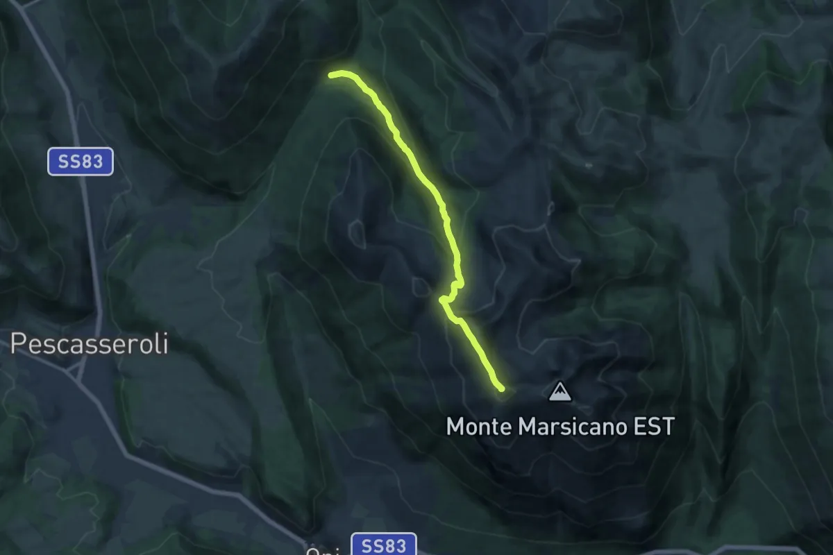
Medium · Summit
Stazzo Prqato Rosso – Fonte dello Schiappito
11.8 km · ↑ 744 m · 4 h 24 min · 5 km away
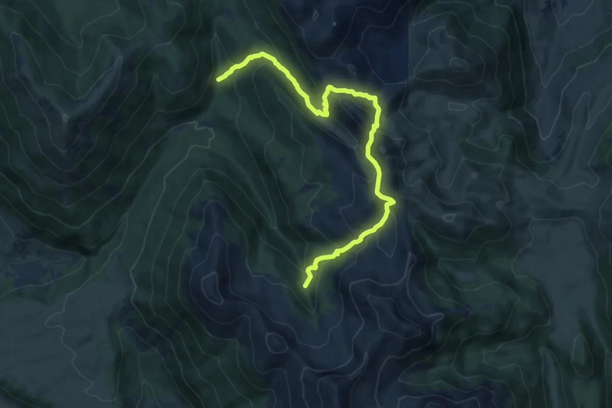
Demanding · Cabin
Rifugio di Prato Rosso – Fonte dello Schiappito
14.0 km · ↑ 832 m · 5 h 7 min · 5 km away
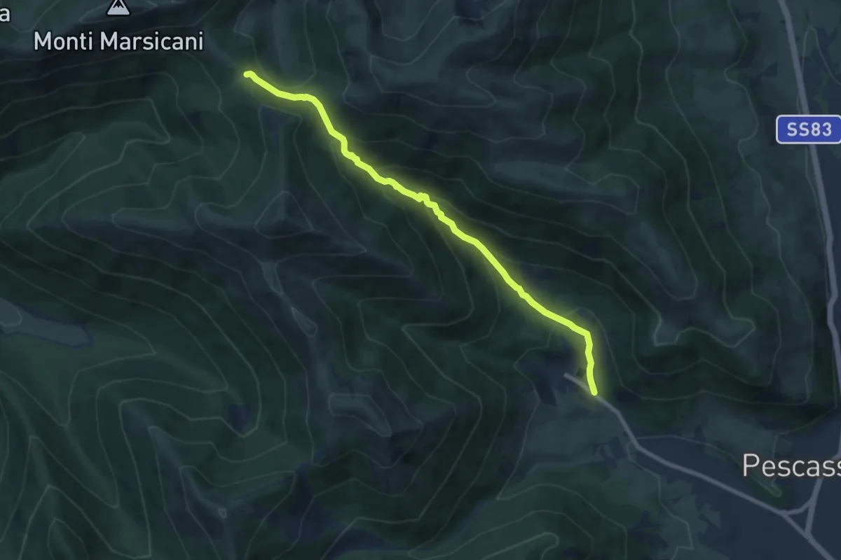
Medium · Trail
Capovallebona – Sorgente Puzza
8.4 km · ↑ 574 m · 3 h 13 min · 6 km away
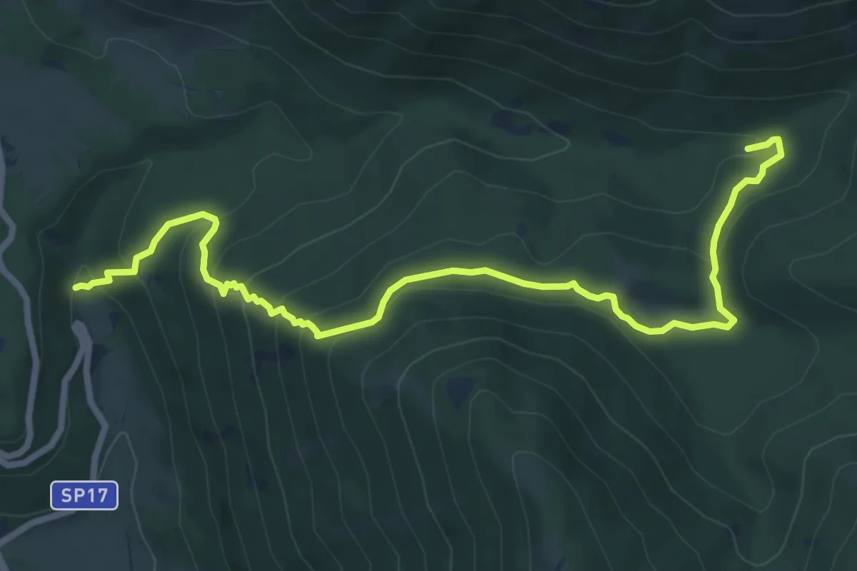
Medium · Trail
La Padura – Capanna Blasutti
8.8 km · ↑ 479 m · 3 h 7 min · 6 km away
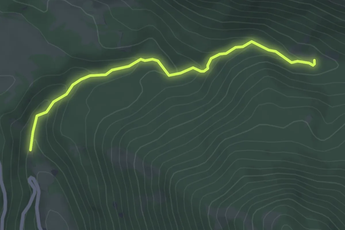
Easy · Trail
La Padura – Le Case di Simone
4.5 km · ↑ 191 m · 1 h 29 min · 6 km away
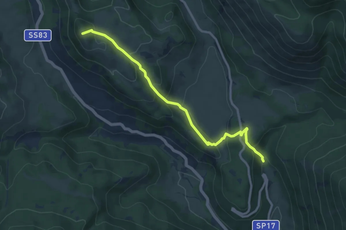
Medium · Summit
La Padura – Morrone del Diavolo
7.1 km · ↑ 361 m · 2 h 28 min · 6 km away
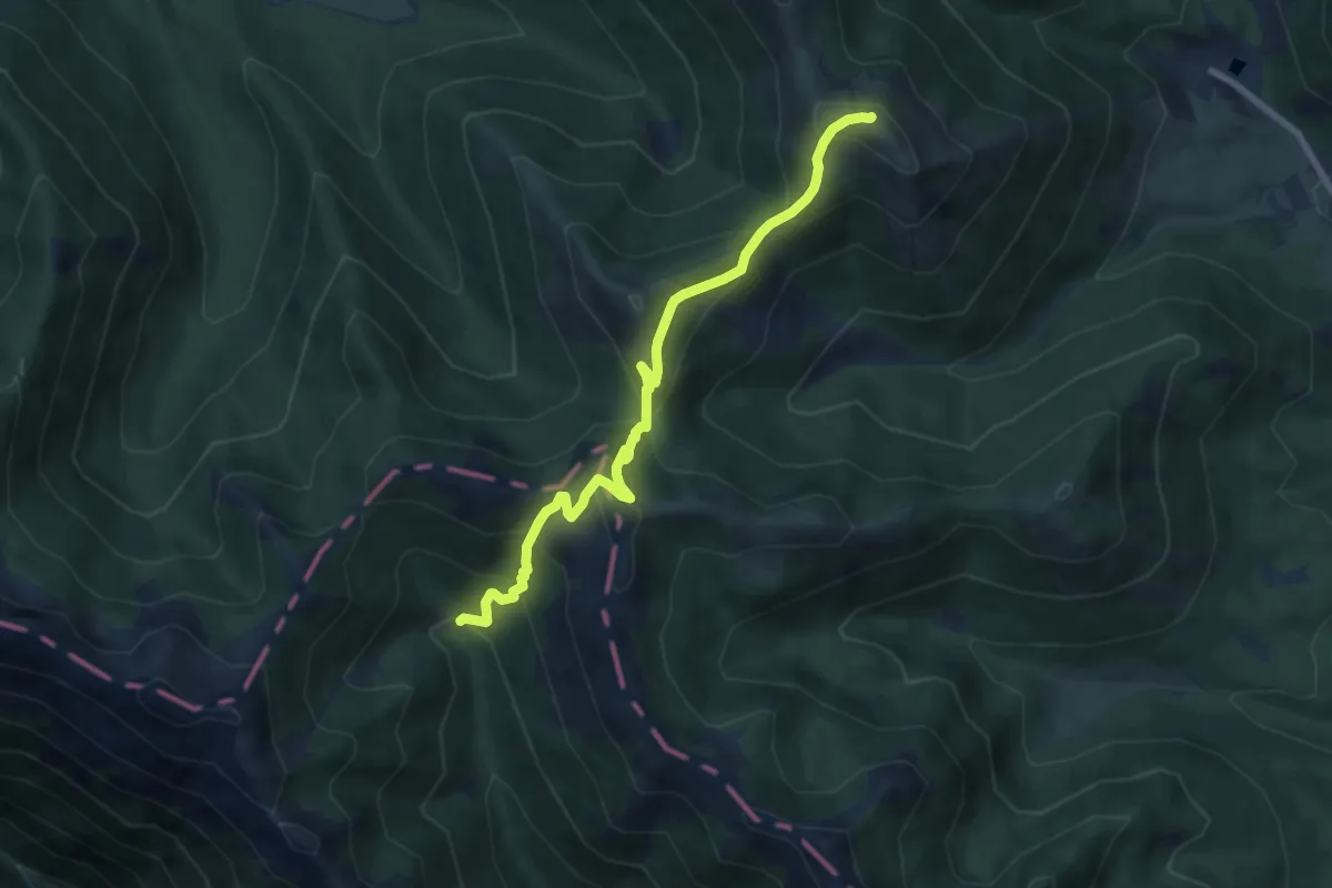
Medium · Summit
Monte delle Vitelle – Vallone Carbonara
8.5 km · ↑ 647 m · 3 h 25 min · 6 km away
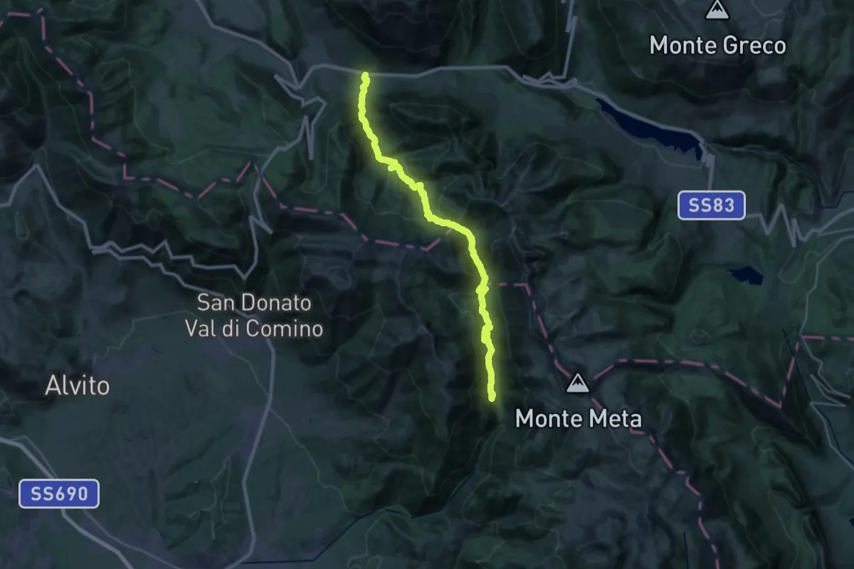
Medium · Trail
Val Fondillo – Madonna Del Canneto
15.4 km · ↑ 711 m · 5 h 24 min · 6 km away
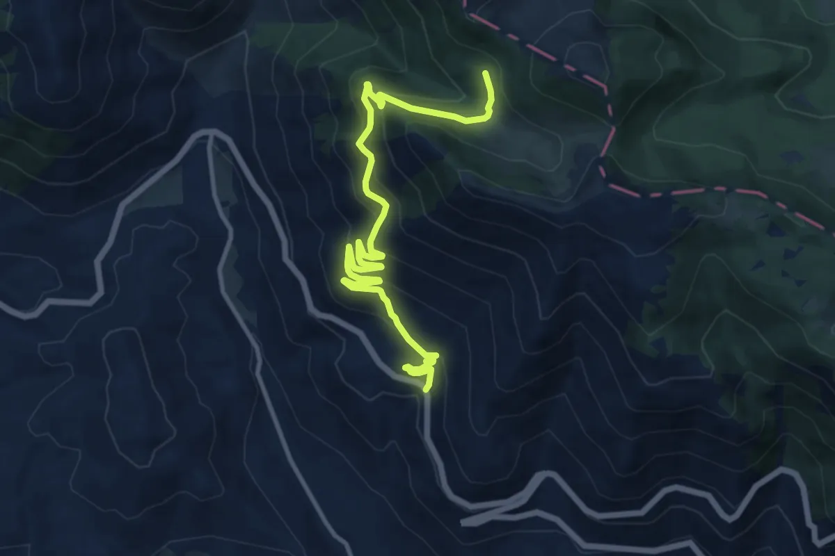
Medium · Trail
Ponte del Nibbio - Valle Lattara
12.4 km · ↑ 689 m · 4 h 25 min · 7 km away
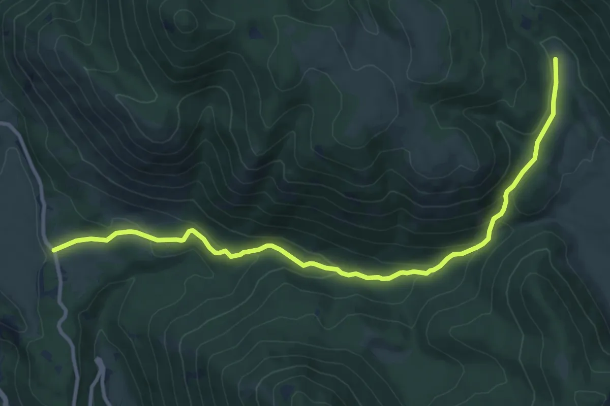
Medium · Trail
Terraegna di Bisegna – Terraegna di Pescasseroli
10.7 km · ↑ 416 m · 3 h 25 min · 7 km away
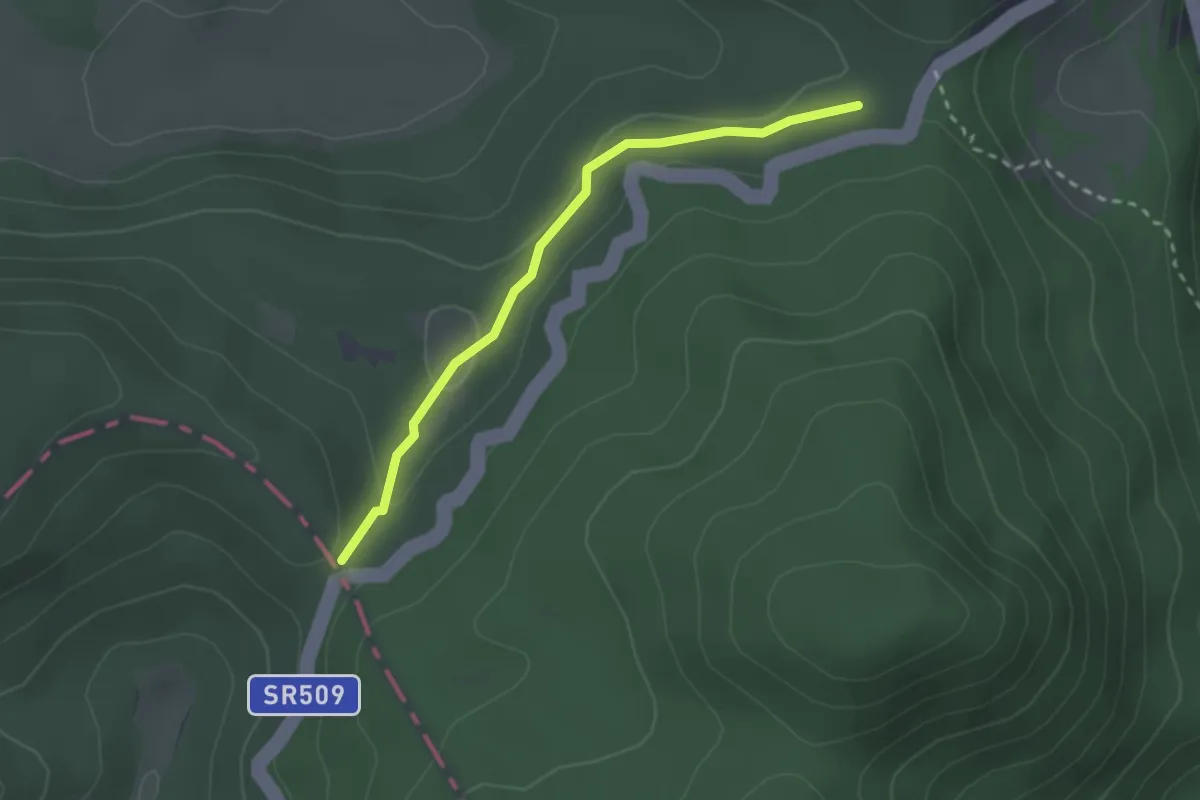
Easy · Trail
Forca D'Acero – Macchiarvana
2.6 km · ↑ 51 m · 43 min · 7 km away
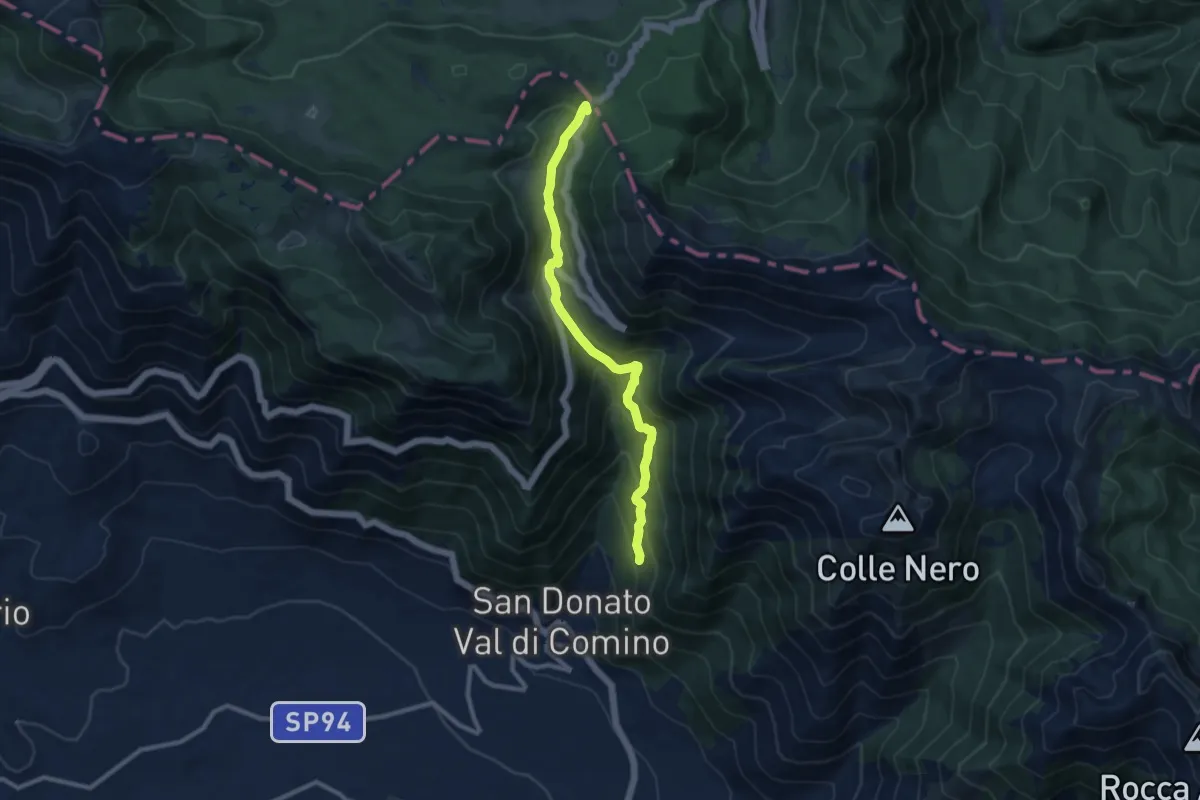
Medium · Trail
Forca d'Acero - San Donato Val di Comino
10.2 km · ↑ 696 m · 3 h 55 min · 7 km away
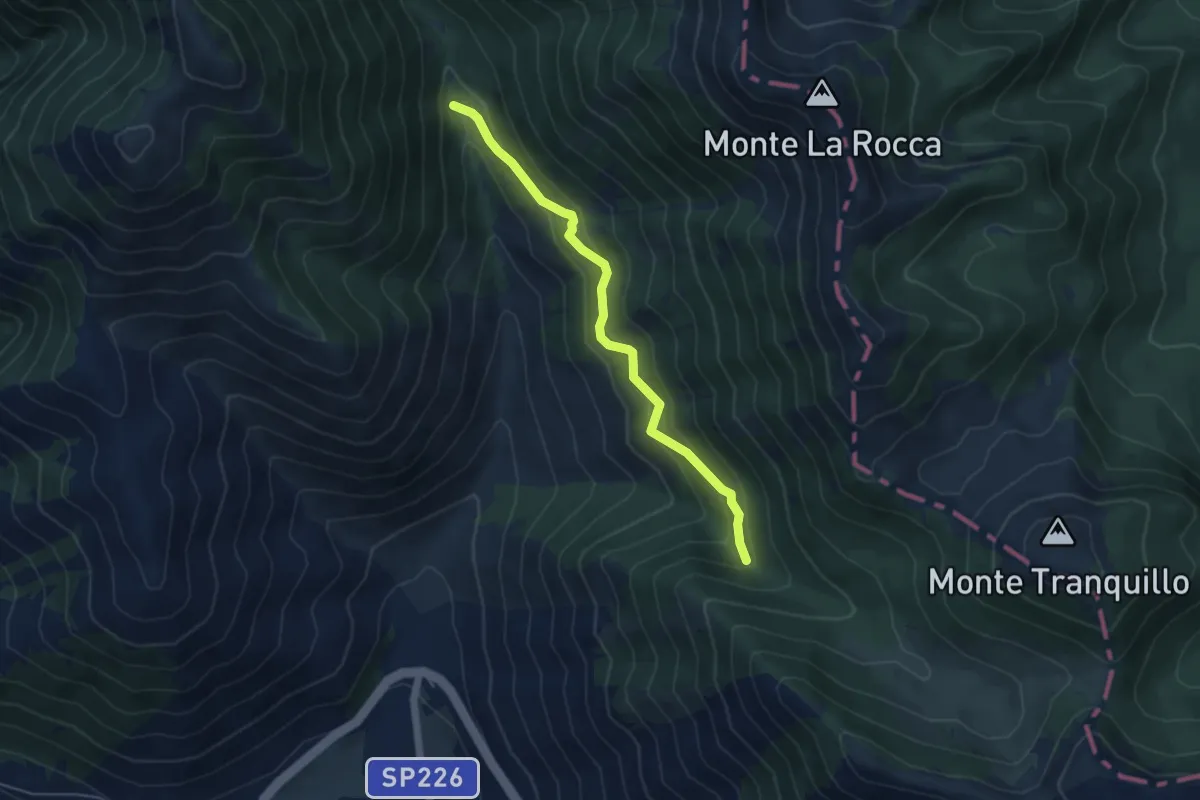
Easy · Cabin
Rifugio Capo d'Acqua - Valle Lattara
5.1 km · ↑ 294 m · 1 h 51 min · 7 km away
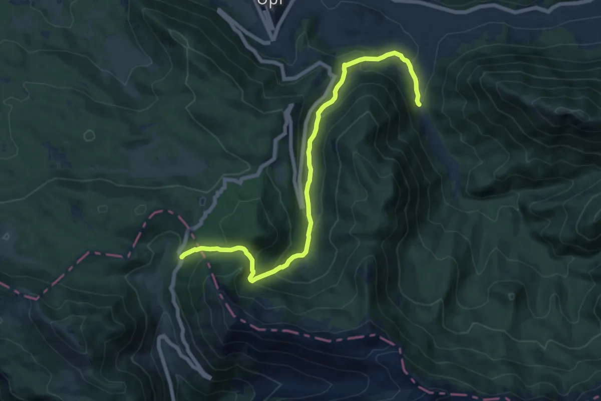
Demanding · Trail
Grotta Fondillo – Forca D'Acero
13.5 km · ↑ 671 m · 4 h 38 min · 7 km away
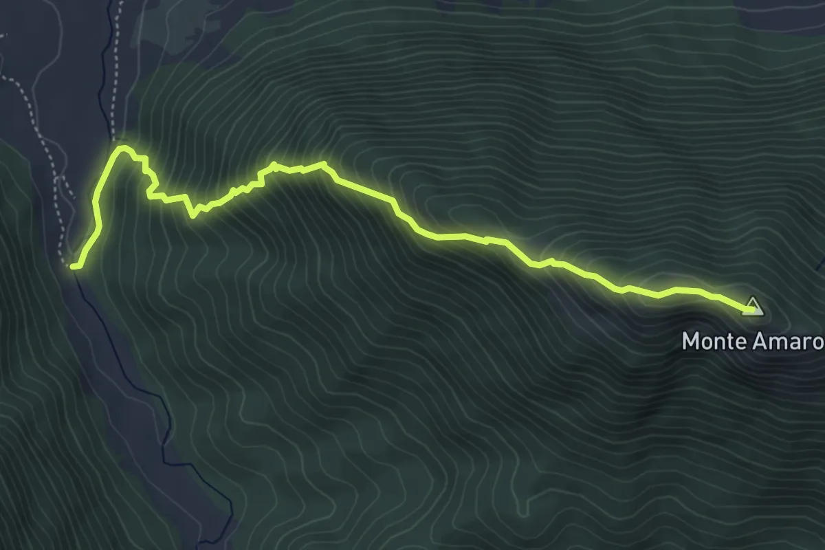
Demanding · Summit
Grotta Fondillo – Monte Amaro
6.1 km · ↑ 719 m · 3 h · 7 km away
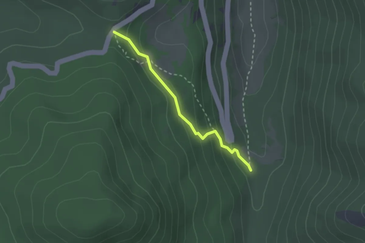
Easy · Trail
Valle Fredda – Il Coppo
2.2 km · ↑ 127 m · 47 min · 7 km away
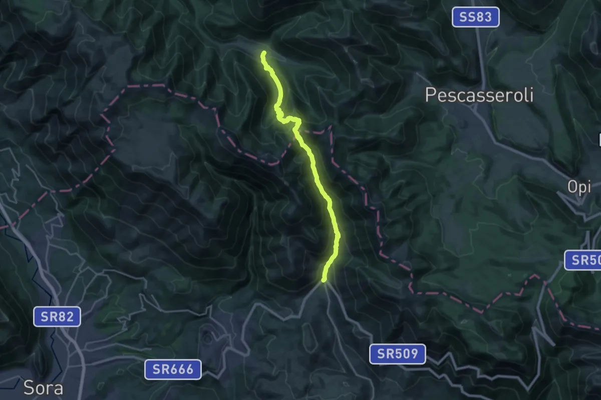
Demanding · Cabin
Capo D'Acqua – Prati D'Angro
19.8 km · ↑ 1419 m · 7 h 45 min · 7 km away
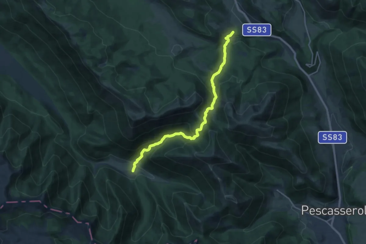
Demanding · Trail
Prati D'Angro – Spineto
15.7 km · ↑ 979 m · 5 h 49 min · 7 km away
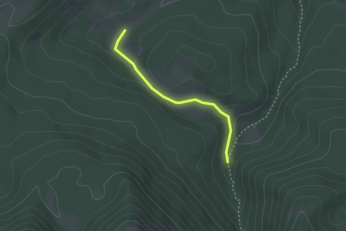
Easy · Trail
Fosso Perrone – Vallone Lampazzo
2.6 km · ↑ 62 m · 45 min · 7 km away
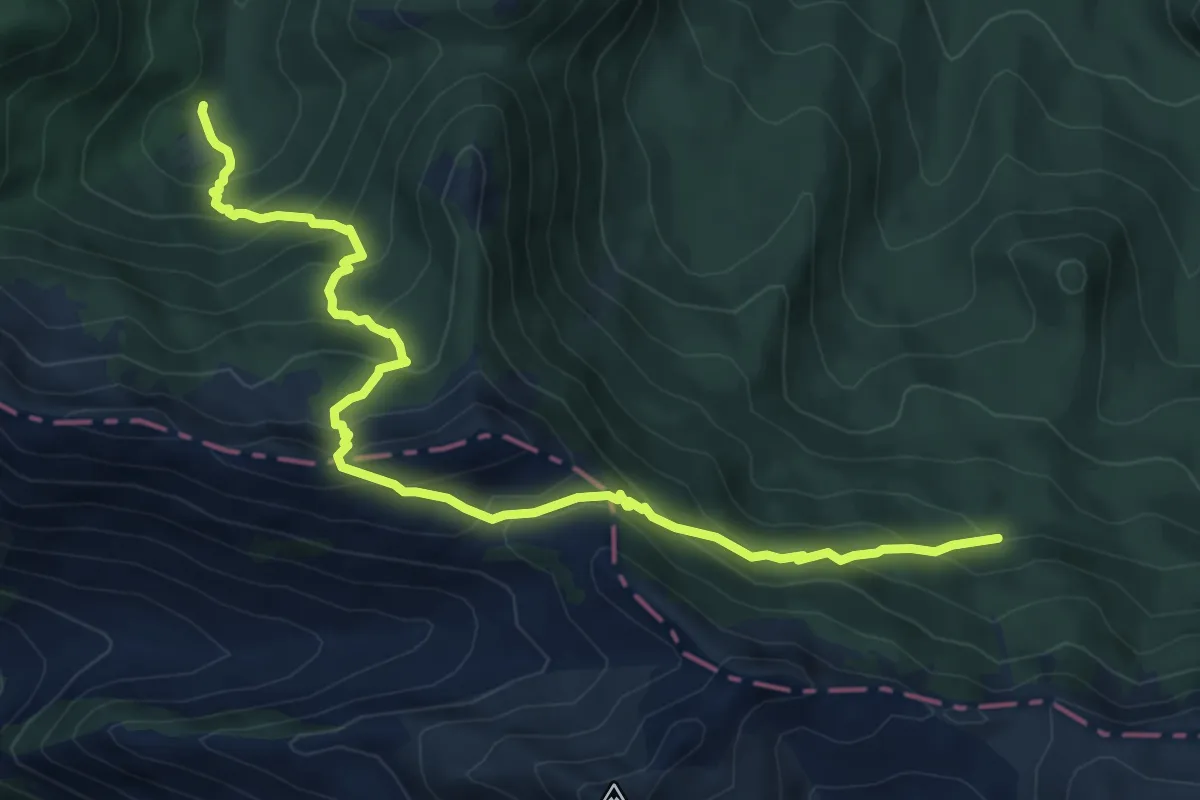
Demanding · Trail
Alta Valle Sfranatara – Valle Fredda
9.2 km · ↑ 715 m · 3 h 44 min · 8 km away
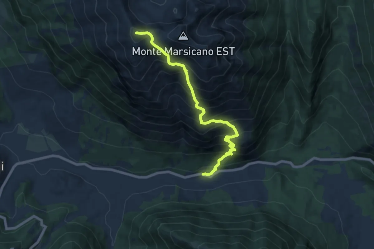
Demanding · Summit
Ponte Forcone – Monte Marsicano
10.0 km · ↑ 1160 m · 4 h 52 min · 8 km away
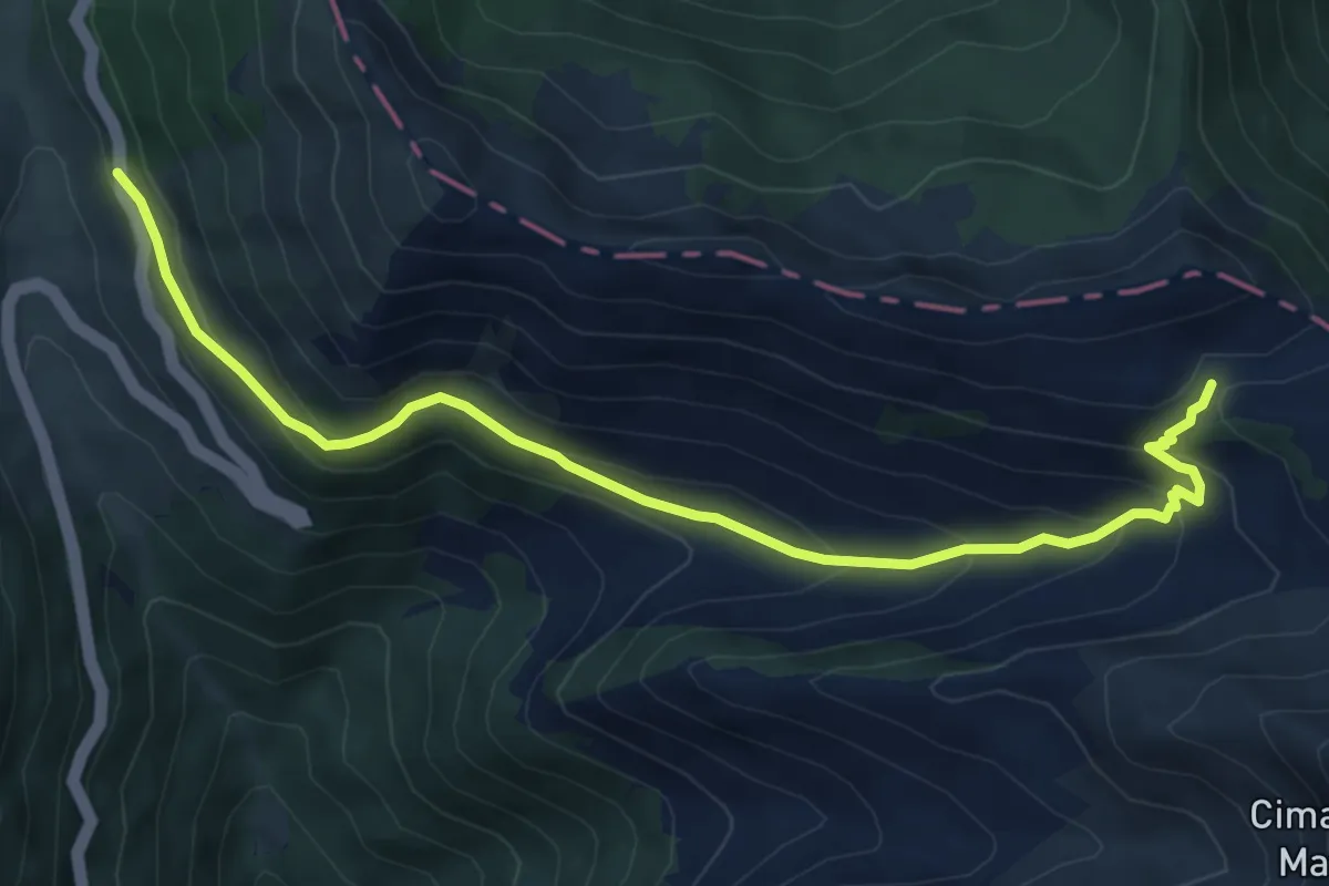
Medium · Trail
Forca d'Acero - Valico Inguagnera
7.6 km · ↑ 443 m · 2 h 45 min · 8 km away
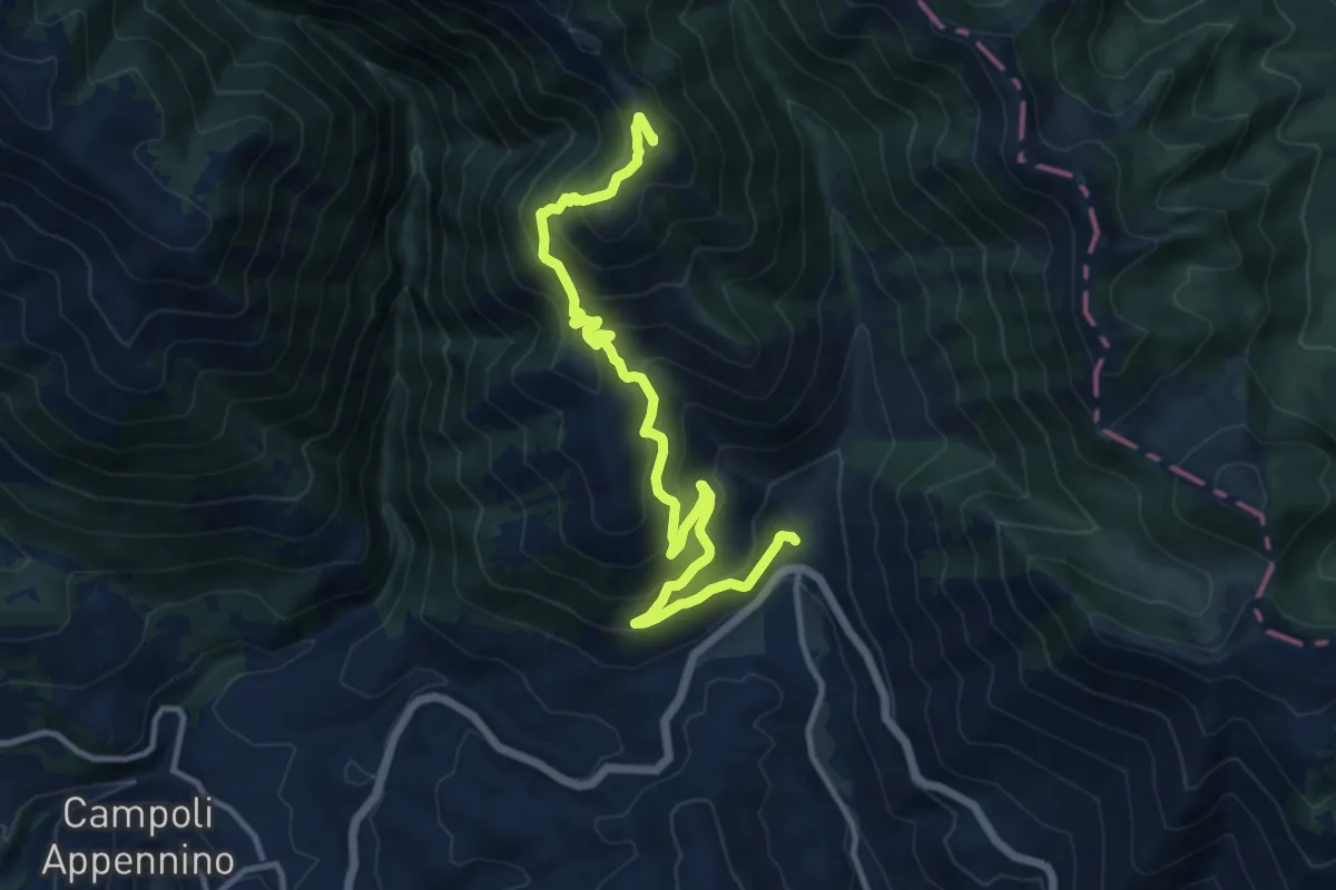
Demanding · Summit
Capo d'Acqua - Montagnone
14.2 km · ↑ 985 m · 5 h 29 min · 8 km away
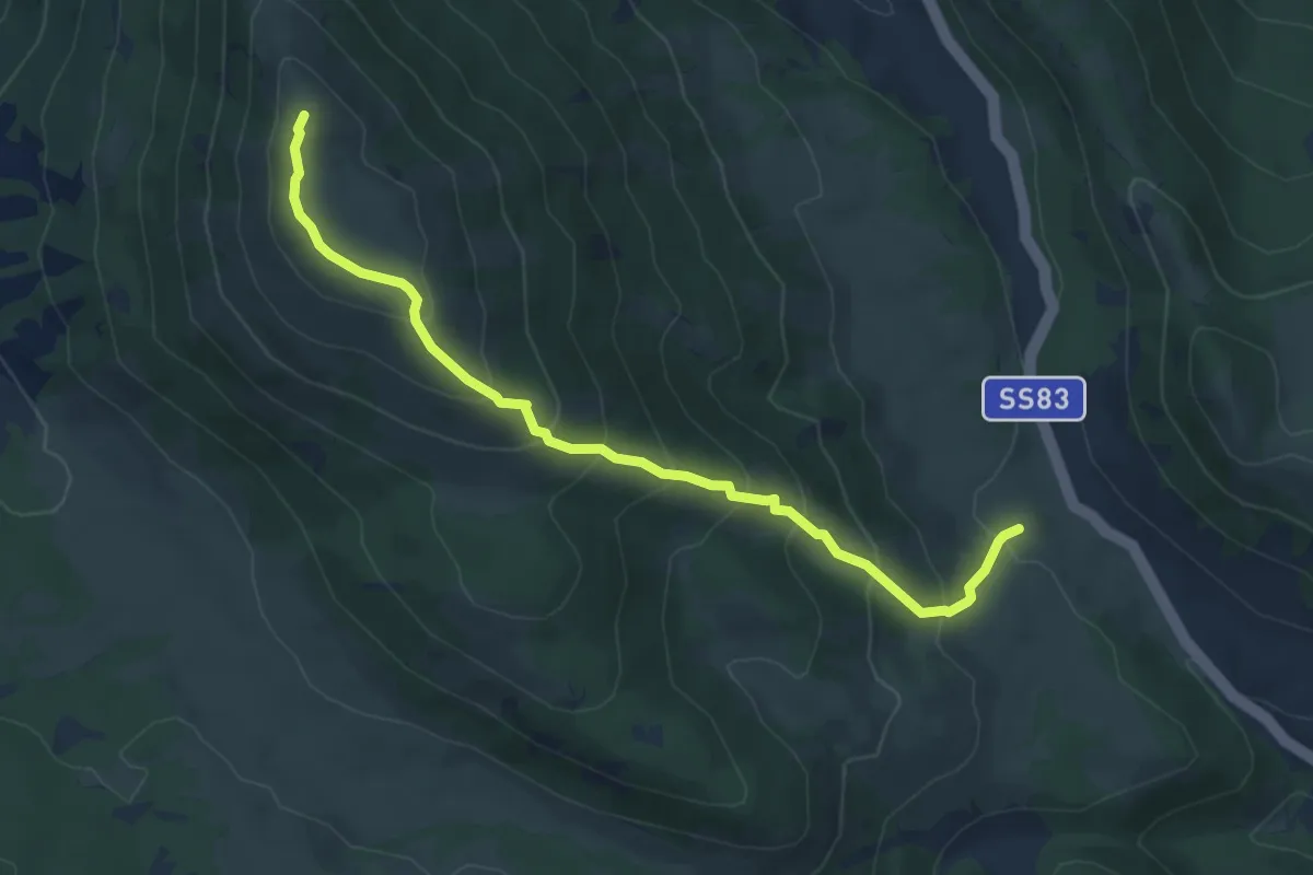
Medium · Summit
Pie di monte – Monte Turchio
6.4 km · ↑ 495 m · 2 h 35 min · 8 km away
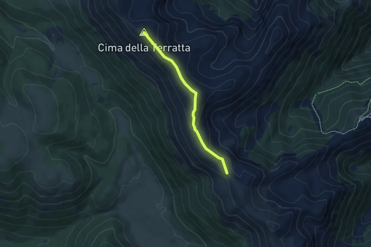
Medium · Summit
Monte Terratta – Valico del Carapale
4.8 km · ↑ 158 m · 1 h 29 min · 9 km away
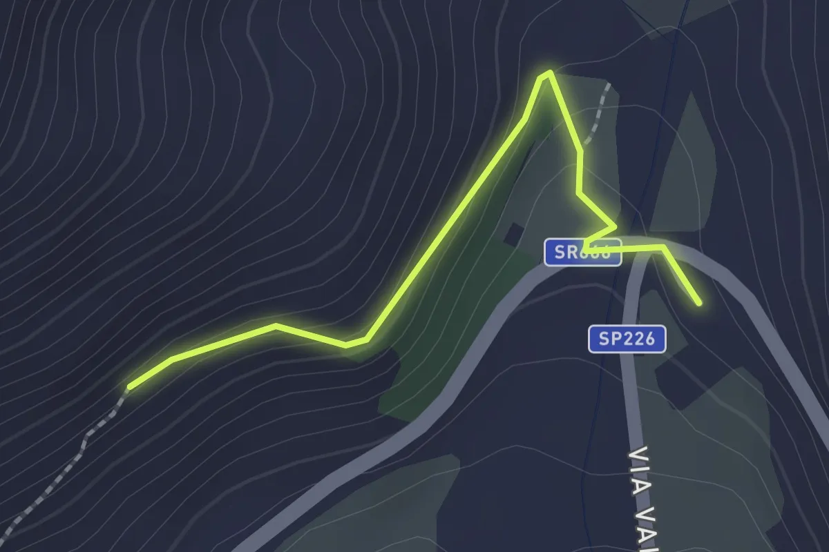
Easy · Trail
Alvito Loc. Trichiano – Sora
2.2 km · ↑ 93 m · 43 min · 9 km away
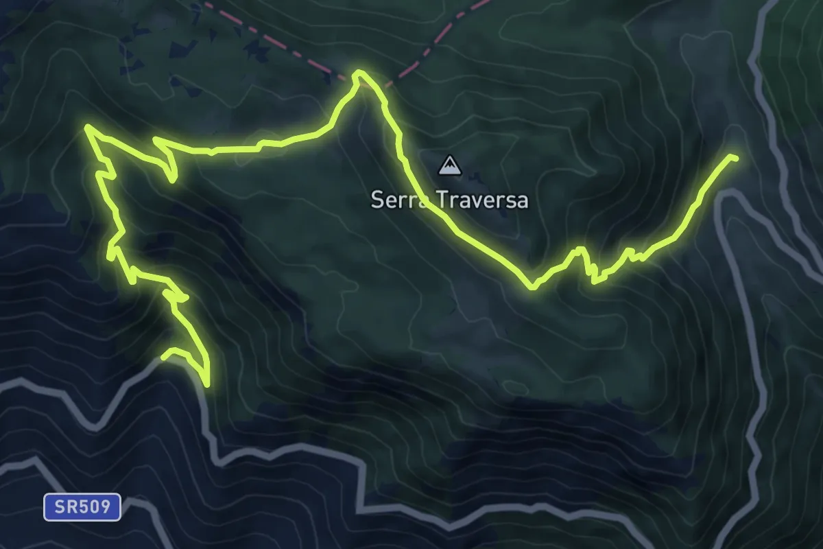
Demanding · Cabin
La Castelluccia - Tre Ponti Superiori
15.4 km · ↑ 1148 m · 6 h 7 min · 9 km away
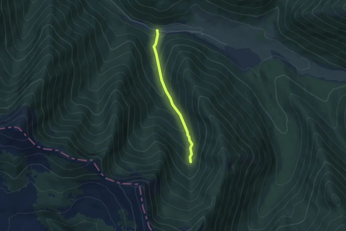
Easy · Trail
Torrente Rosa – Vallone Ciafassa
3.9 km · ↑ 293 m · 1 h 34 min · 9 km away