Trails near Pianezza
100 hikes starting within 15 km, nearest first.
Nearest first, page 2 of 3
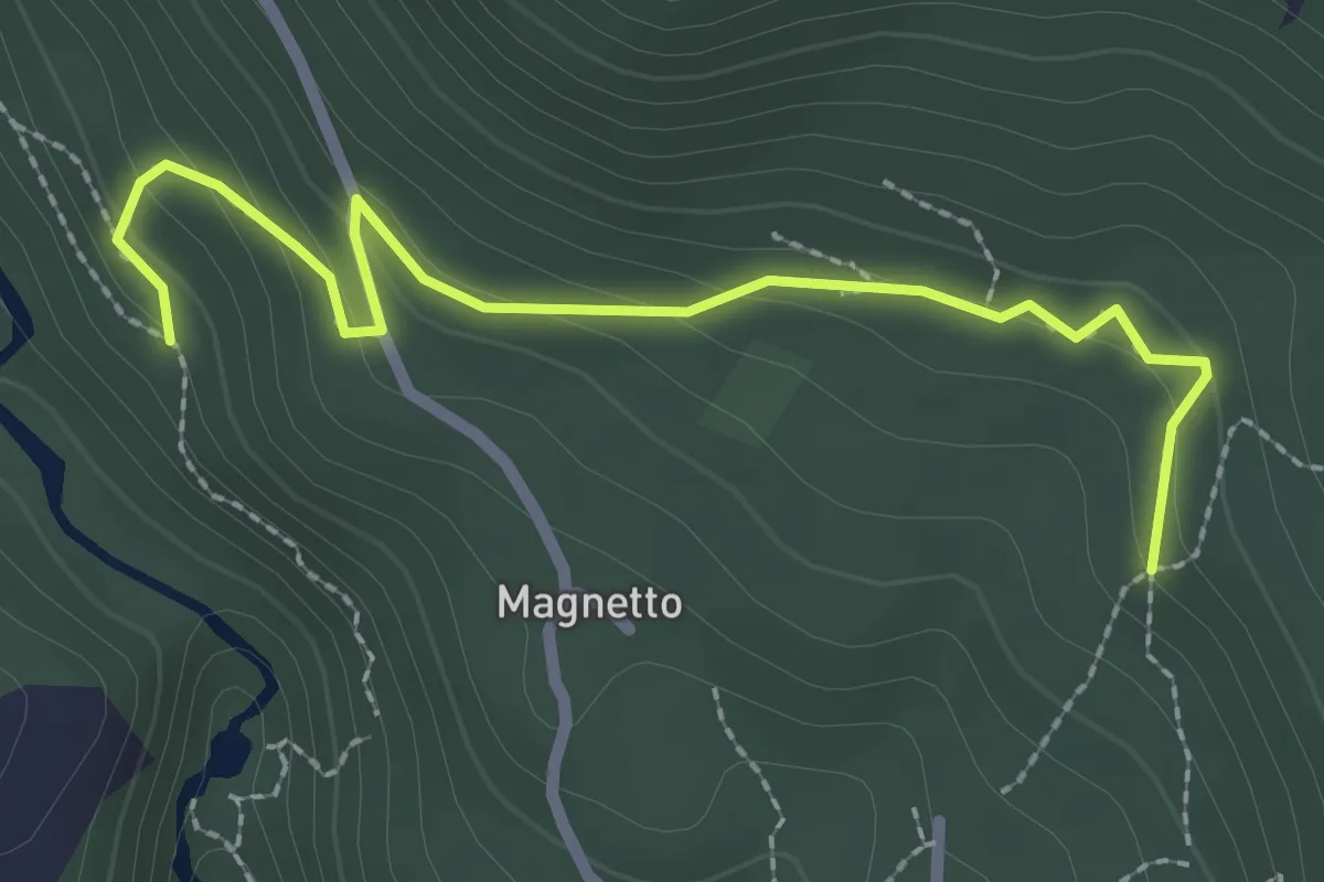
Easy · Trail
Almese, bivio TOS578A-TOS578C – Almese, bivio TOS578-TOS578C presso Frazione Bertolo
2.7 km · ↑ 129 m · 55 min · 11 km away
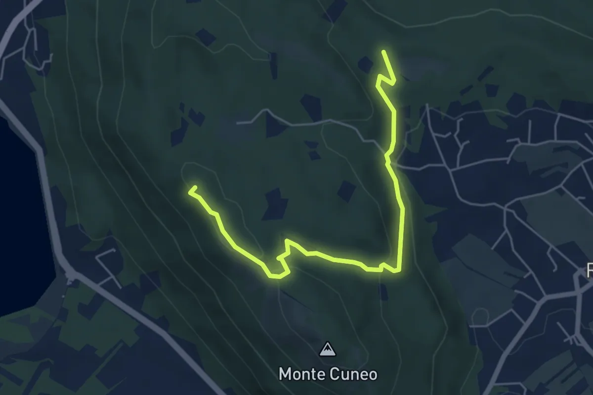
Medium · Summit
Borgata Fiori di Reano, Bivio TOP201-TOP201B – Bivio TOP201-TOP201B
5.4 km · ↑ 141 m · 1 h 35 min · 11 km away
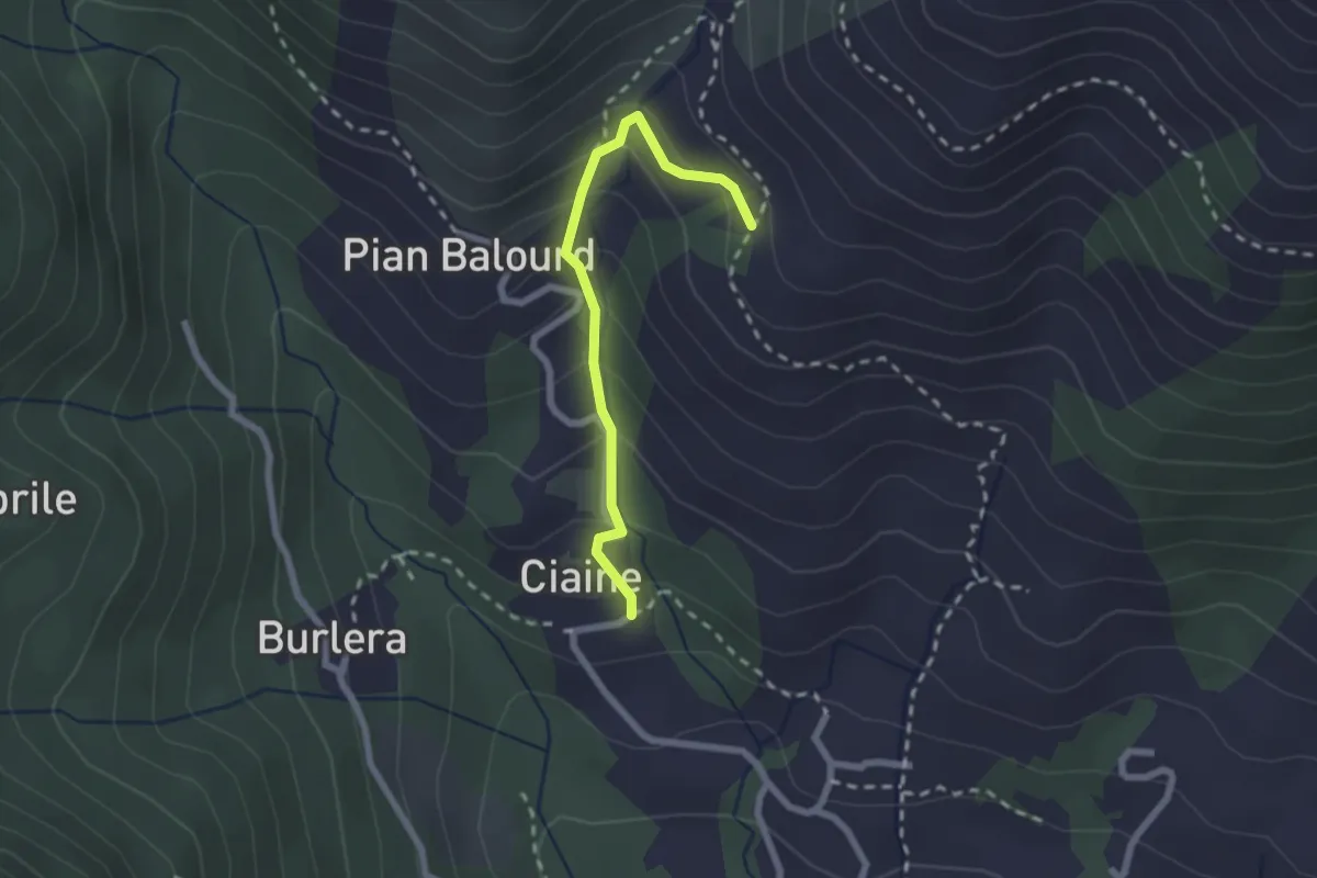
Medium · Trail
Bivio 001-002B, Ciaine – Bivio 002-002B, Case Fontanabruna
2.2 km · ↑ 194 m · 56 min · 11 km away
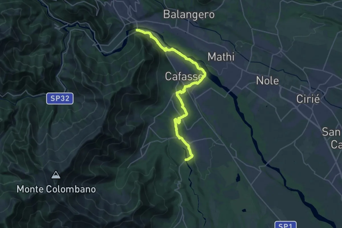
Demanding · Trail
Bivio 020-041, Varisella – Bivio 020-101, Ponte del Diavolo
24.9 km · ↑ 378 m · 6 h 42 min · 11 km away
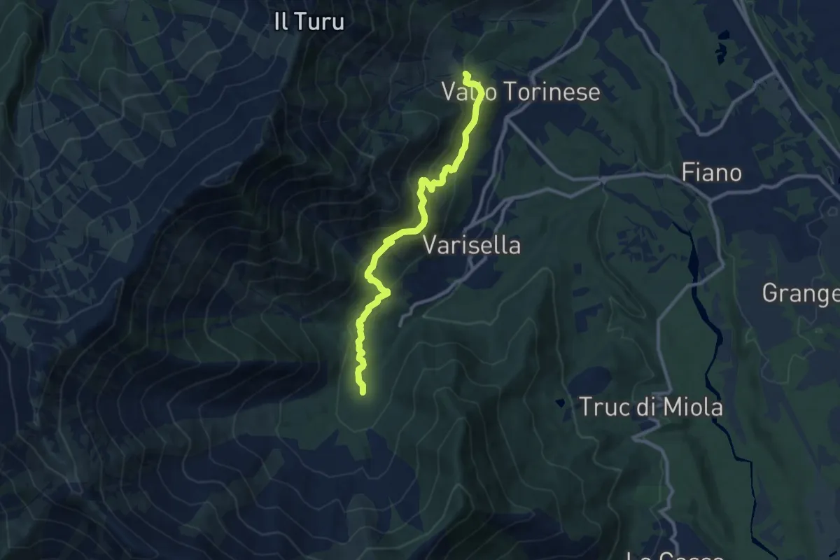
Medium · Trail
Bivio 043-045, Area Camper – Bivio 045-090, Cappella di San Rocco
9.8 km · ↑ 495 m · 3 h 22 min · 11 km away
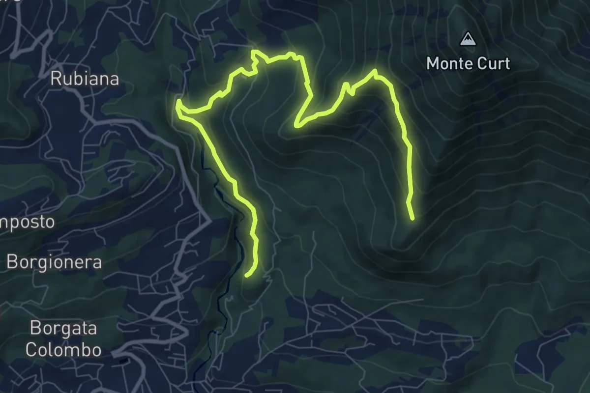
Medium · Trail
Almese, bivio TOS578-TOS578A presso torrente Messa – Almese, bivio TOS578-TOS578A presso pilone Mollar
10.8 km · ↑ 677 m · 4 h · 11 km away
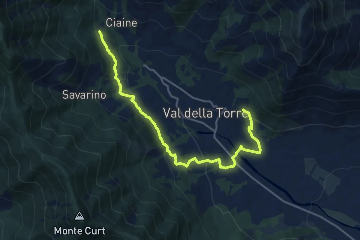
Medium · Trail
Bivio 001-001A, San Donato – Bivio 001-001A, Burlera
10.9 km · ↑ 399 m · 3 h 27 min · 12 km away
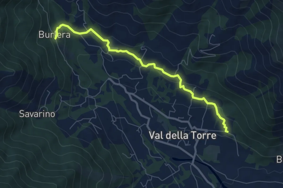
Easy · Trail
Bivio 001-001A, Chiesa San Donato – Bivio 001-001A, Burlera
6.8 km · ↑ 237 m · 2 h 7 min · 12 km away
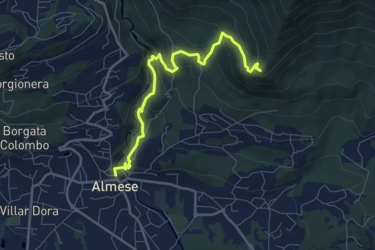
Medium · Summit
Almese, centro paese – Pian ed la Sisterna, bivio TOS574-TOS578
7.5 km · ↑ 411 m · 2 h 39 min · 12 km away
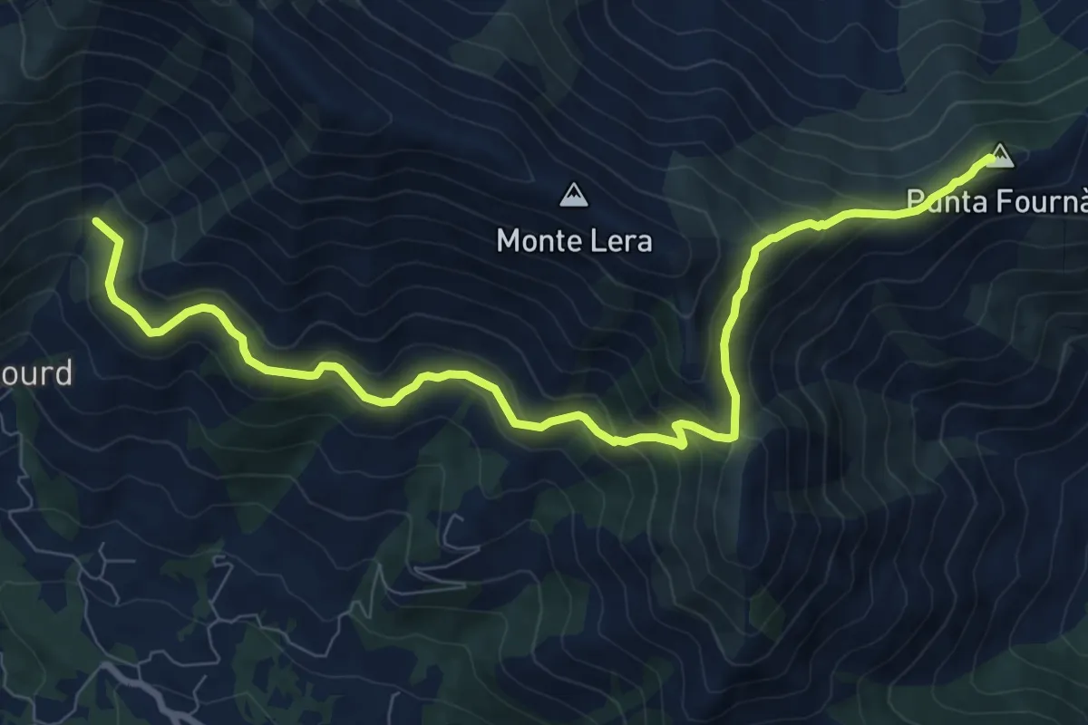
Demanding · Summit
Bivio 002-010, Case Fontanabruna – Punta Fournà
10.4 km · ↑ 623 m · 3 h 48 min · 12 km away
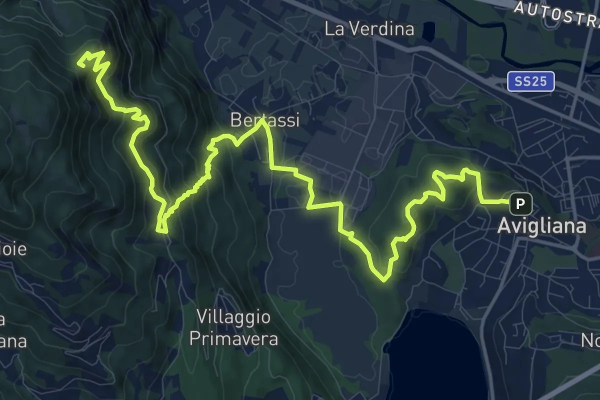
Demanding · Summit
Avigliana, Piazza del Popolo – Colle di Croce Nera presso Sacra di San Michele
17.7 km · ↑ 953 m · 6 h 14 min · 12 km away
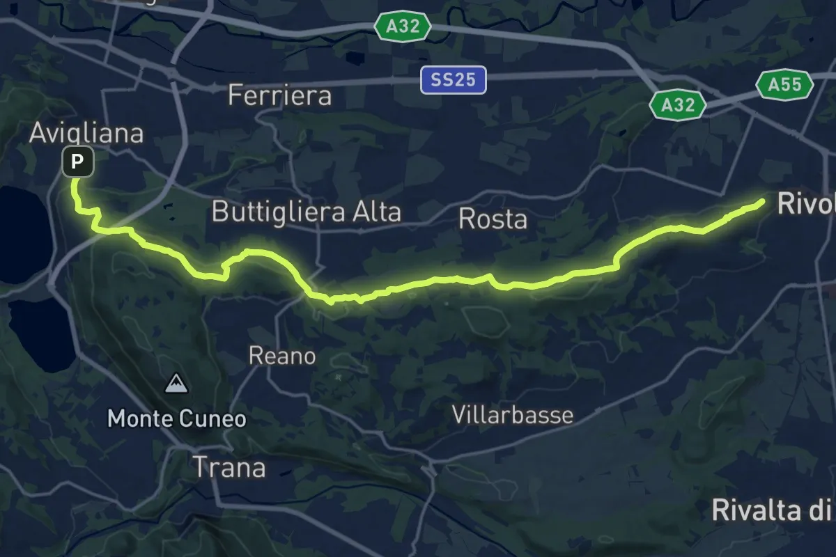
Demanding · Trail
Rivoli – Avigliana, case San Pietro
22.6 km · ↑ 475 m · 6 h 22 min · 12 km away
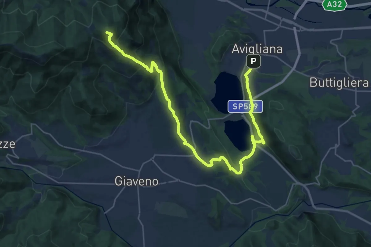
Demanding · Summit
Avigliana, Case San Pietro – Colle Braida, bivio TOS435-TOS503A
24.7 km · ↑ 1015 m · 8 h 2 min · 12 km away
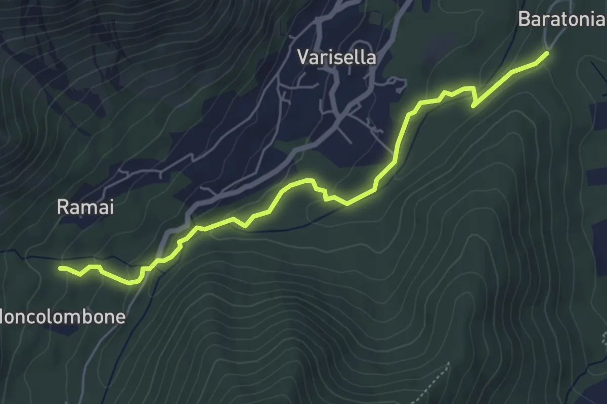
Easy · Trail
Bivio 040-041, San Grato – Bivio 040-043-045, Area Camper
5.6 km · ↑ 156 m · 1 h 40 min · 12 km away
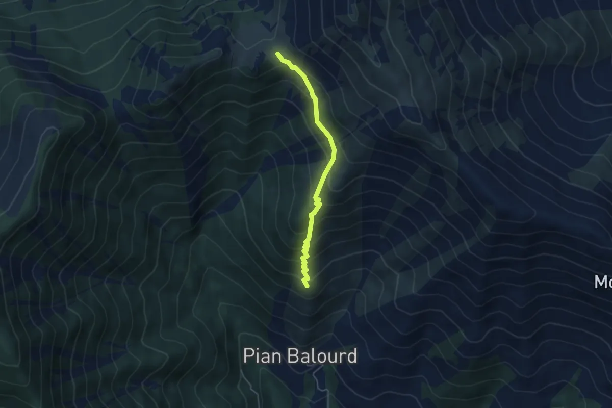
Medium · Trail
Bivio 002-003, Muanda Piantegrandi – Bivio 003-003A-012, Colle Lunella
4.1 km · ↑ 402 m · 1 h 50 min · 12 km away
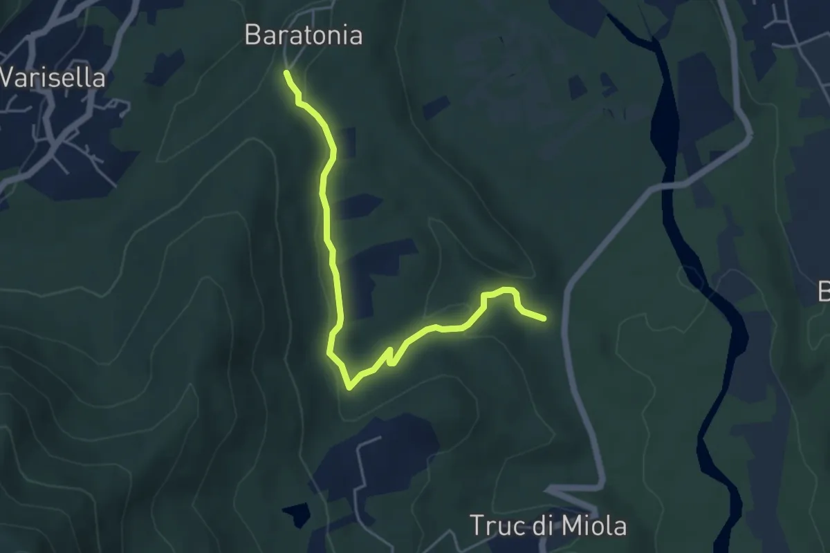
Easy · Trail
Bivio 020-041, Truc di Miola – Bivio 040-041, San Grato
4.7 km · ↑ 98 m · 1 h 20 min · 12 km away
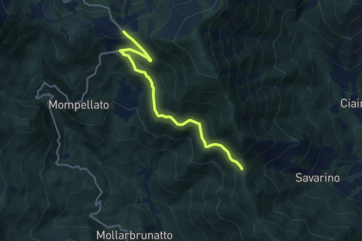
Medium · Trail
Bivio 570-570C, Colle del Lis – Bivio 011-570C, Madonna della Bassa
8.4 km · ↑ 400 m · 2 h 52 min · 12 km away
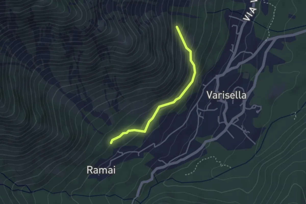
Easy · Trail
Bivio 045-045A, Ramai – Bivio 045-045A, Varisella
2.9 km · ↑ 181 m · 1 h 5 min · 12 km away
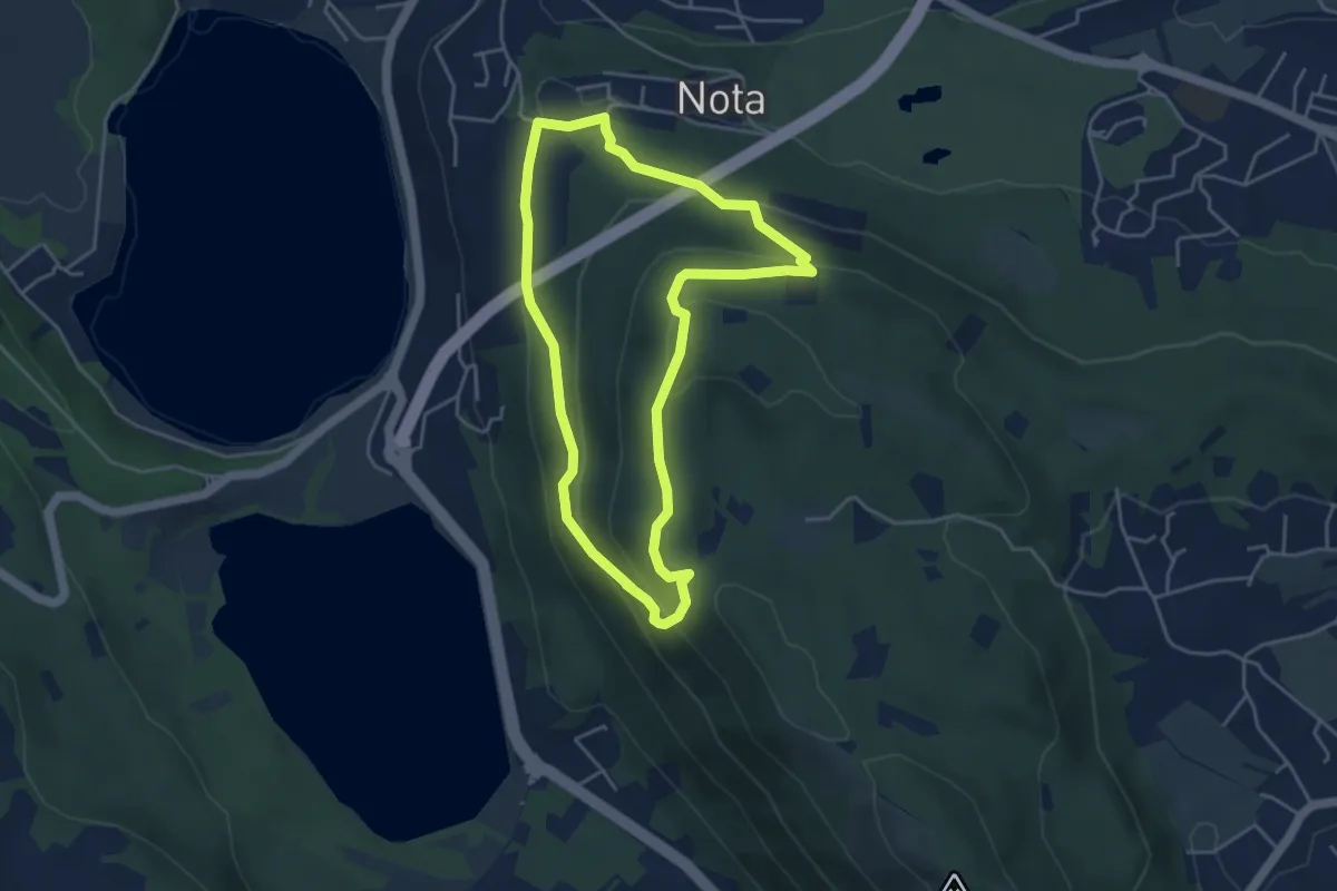
Medium · Trail
Sentiero Gianfranco Salotti
4.3 km · ↑ 194 m · 1 h 29 min · 12 km away
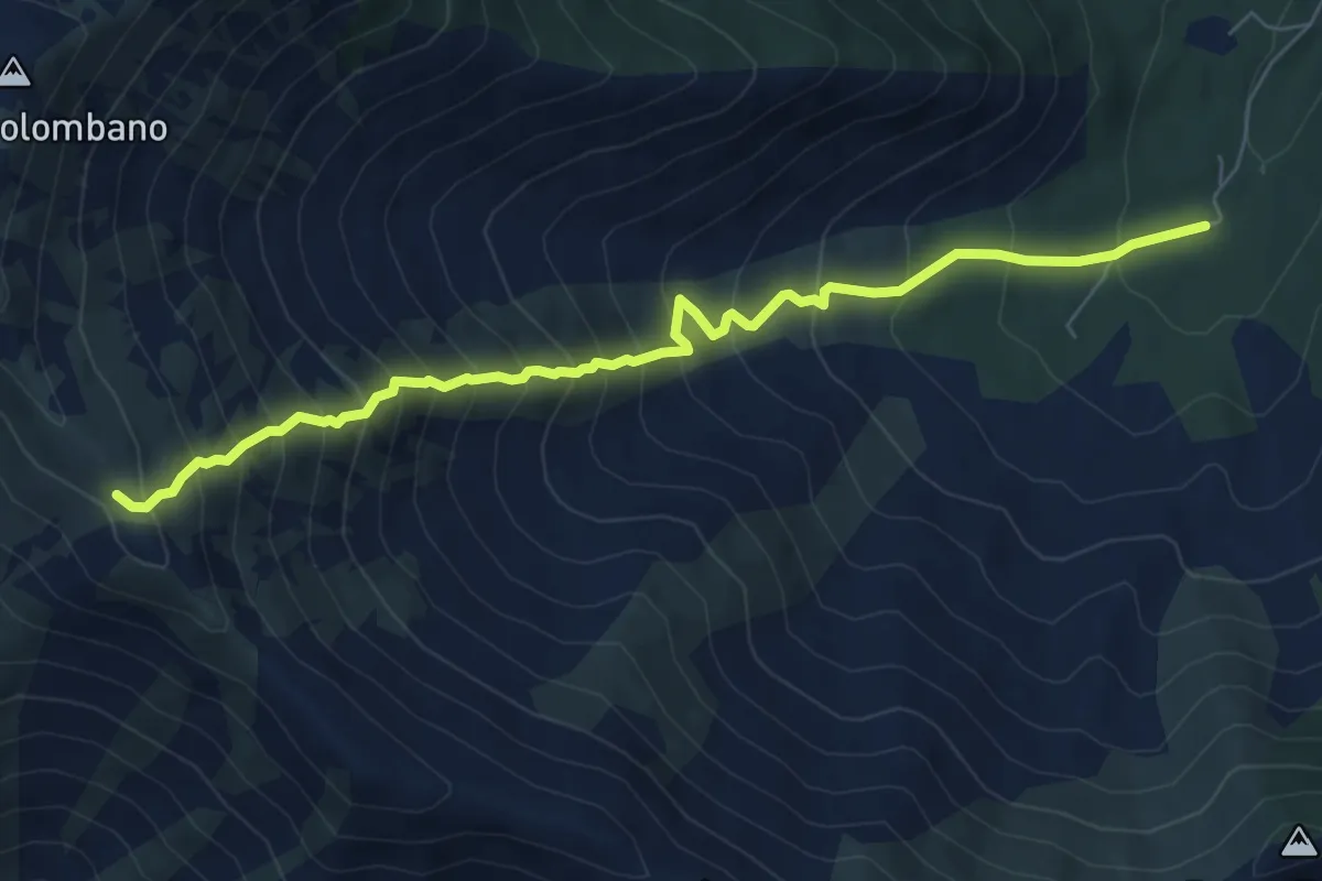
Demanding · Trail
Bivio 043-048, Area Camper – Bivio 003A-048, Bal Masché
7.4 km · ↑ 943 m · 3 h 47 min · 13 km away
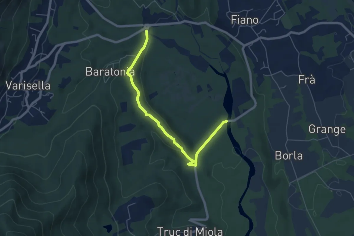
Easy · Trail
Bivio 041-042 – SP182 Ponte sul Ceronda
5.5 km · ↑ 144 m · 1 h 36 min · 13 km away
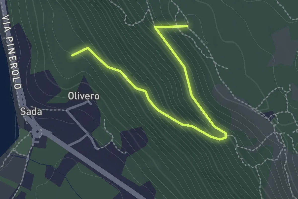
Medium · Summit
Bivio TOS451-TOS451B – Colle del Bal dl'e Masche, Bivio TOS451B-TOP201B
2.8 km · ↑ 182 m · 1 h 3 min · 13 km away
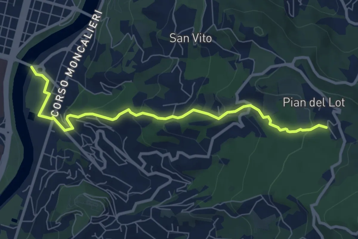
Medium · Trail
Sentieri della Collina Torinese 14
7.0 km · ↑ 335 m · 2 h 22 min · 13 km away
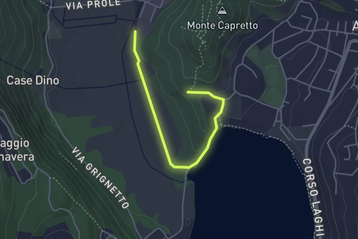
Easy · Trail
Avigliana, Pilone di San Michele, bivio TOS501-TOS501B – Bivio TOS501-TOS501B
3.7 km · ↑ 56 m · 1 h · 13 km away
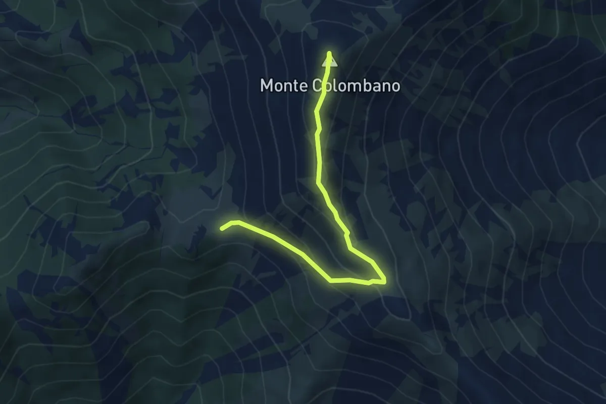
Easy · Summit
Bivio 003-003A-012, Colle Lunella – Monte Colombano
4.8 km · ↑ 267 m · 1 h 42 min · 13 km away
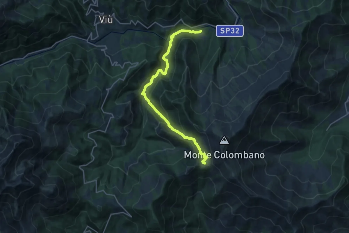
Demanding · Trail
Bivio 102-102D, Molar del Lupo – Bivio 012-102, Colle Lunella
16.6 km · ↑ 939 m · 5 h 57 min · 13 km away
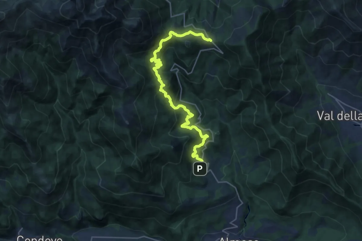
Demanding · Trail
Rocco, Rubiana – Bivio 102B-570-570C-570D, Colle del Lys
20.9 km · ↑ 1165 m · 7 h 27 min · 13 km away
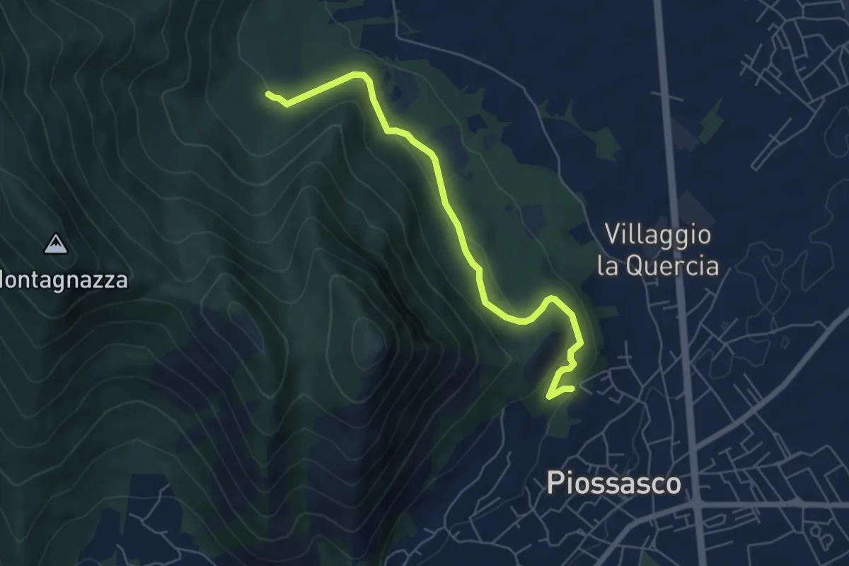
Easy · Trail
Sbarra della strada della cava, bivio TOP301-TOP302 – Bvio TOP302-TOP303
6.1 km · ↑ 236 m · 1 h 56 min · 14 km away
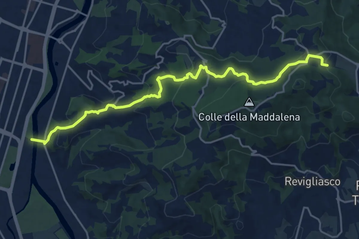
Medium · Trail
Torino, Corso Moncalieri, passerella pedonale – Pecetto Torinese , Eremo dei Camaldolesi, bivio TOC012-TOC003
14.1 km · ↑ 585 m · 4 h 36 min · 14 km away
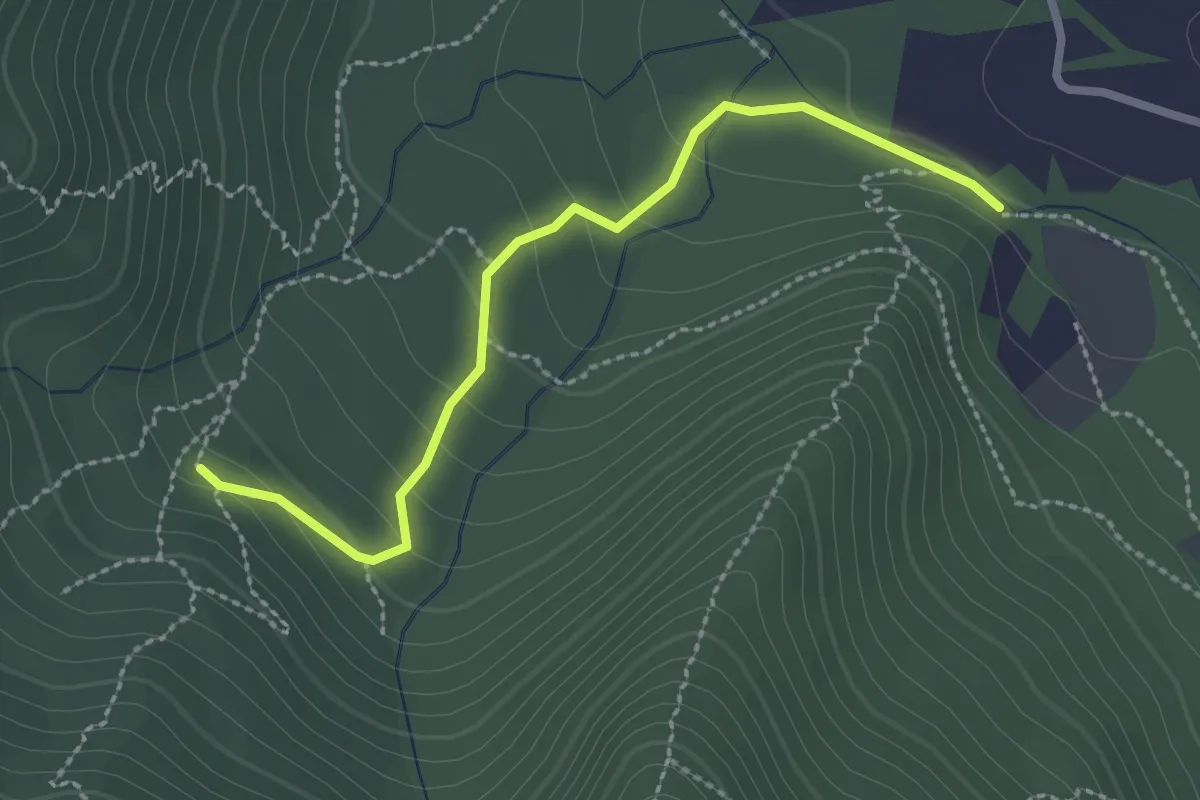
Easy · Trail
Bivio TOP301-TOP303 strada bianca per frazione Galli – Fonte Guraj
2.6 km · ↑ 108 m · 51 min · 14 km away
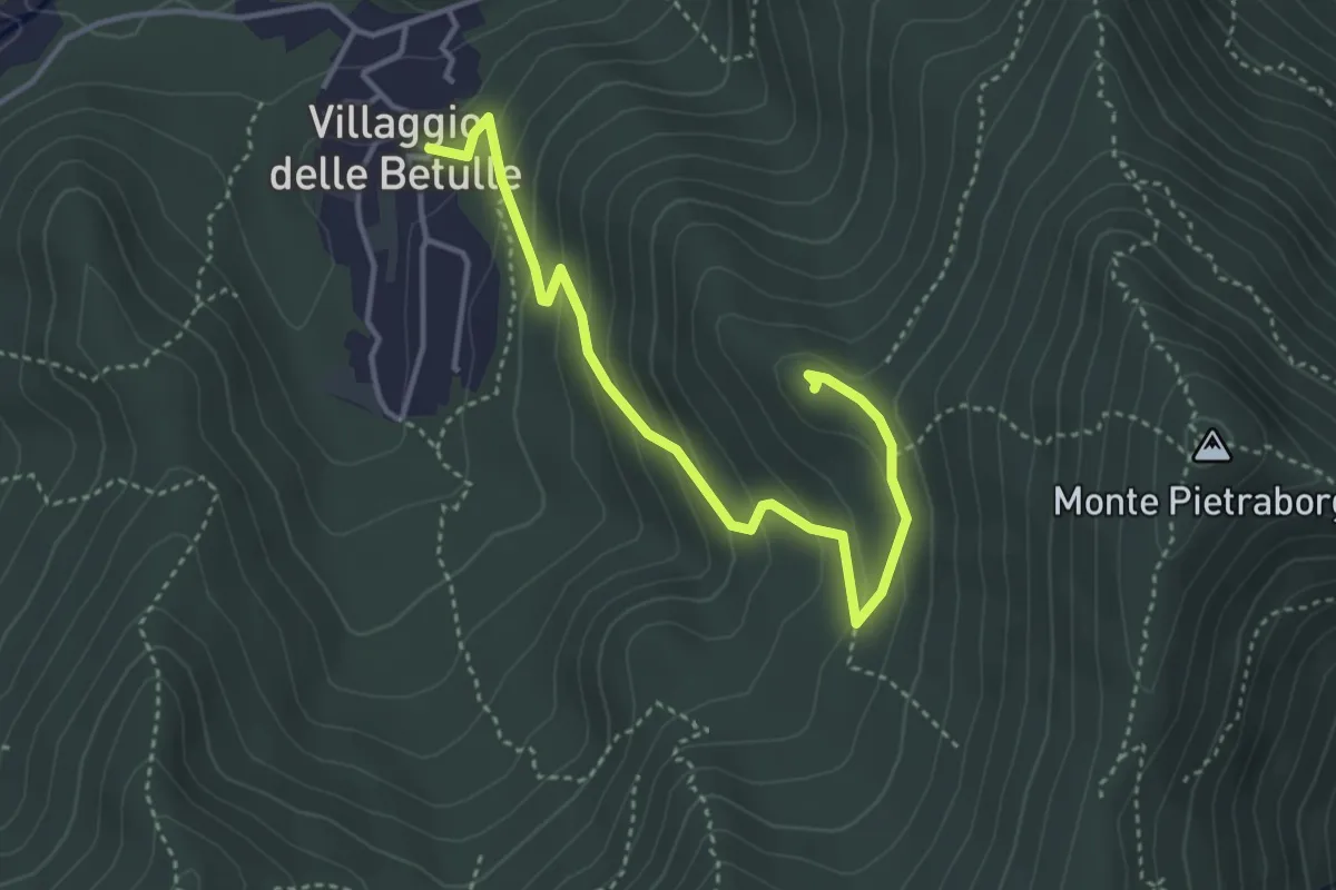
Easy · Trail
Percorso alla Croce degli Alpini di Trana
4.2 km · ↑ 258 m · 1 h 34 min · 14 km away
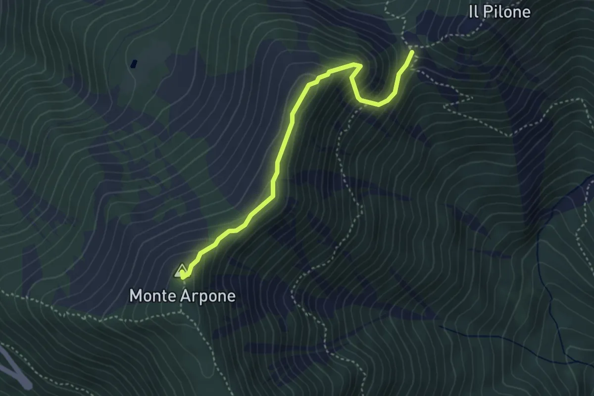
Demanding · Summit
Bivio 002-102B, Colle Portia – Bivio 002A-011-570D, Monte Arpone
3.9 km · ↑ 290 m · 1 h 33 min · 14 km away
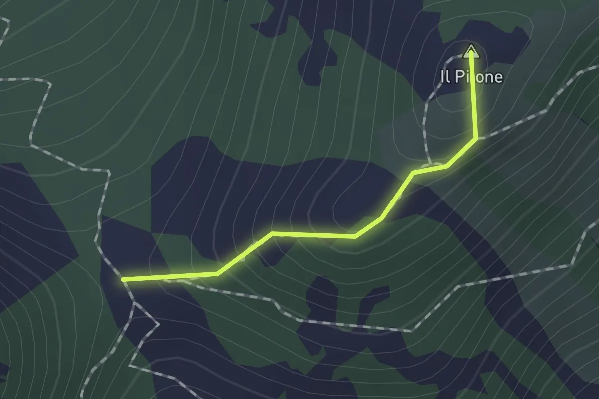
Medium · Summit
Bivio 002-012, Colle Portia – Bivio 003-003A-012, Colle Lunella
1.2 km · ↑ 99 m · 29 min · 14 km away
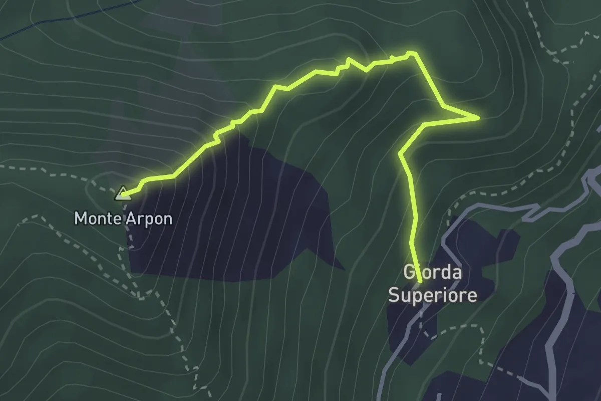
Expert · Summit
Giorda Superiore – Vetta Monte Arpon
3.3 km · ↑ 355 m · 1 h 33 min · 14 km away
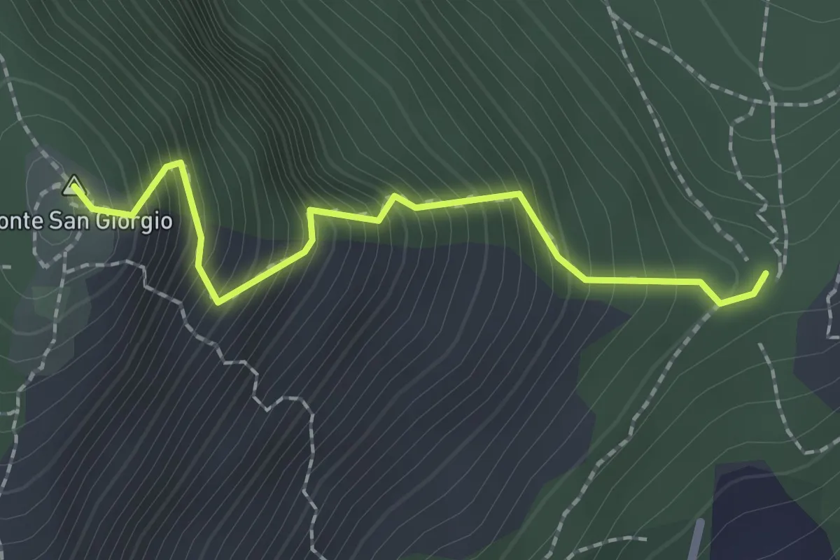
Demanding · Summit
Bivio TOP304-TOP305 – Monte San Giorgio, bivio TOP304-TOP305
2.0 km · ↑ 374 m · 1 h 17 min · 14 km away
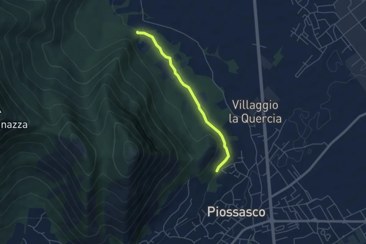
Easy · Trail
Sbarra della strada della cava, bivio TOP301-TOP302 – Strada bianca per frazione Galli, bivio TOP301-TOP303
4.2 km · ↑ 54 m · 1 h 7 min · 14 km away
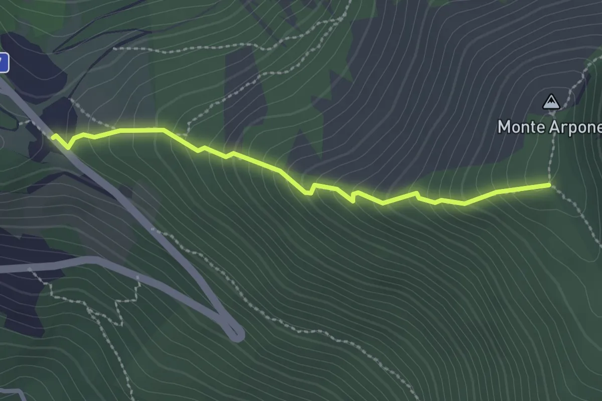
Medium · Trail
Bivio 102B-570-570C-570D, Colle del Lis – Bivio 002A-011-570D, Monte Arpone
2.5 km · ↑ 272 m · 1 h 10 min · 14 km away
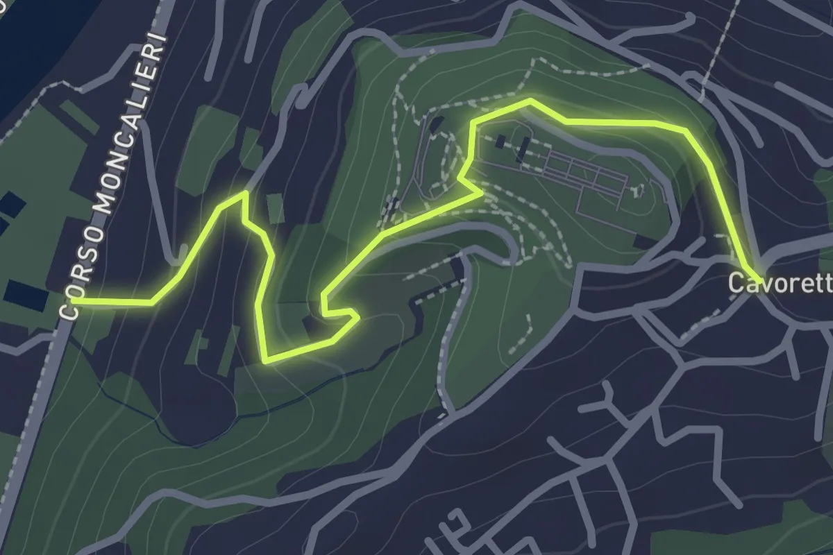
Easy · Trail
Strada Villa Zanetti, Torino – Cavoretto, Torino
2.9 km · ↑ 143 m · 1 h · 14 km away
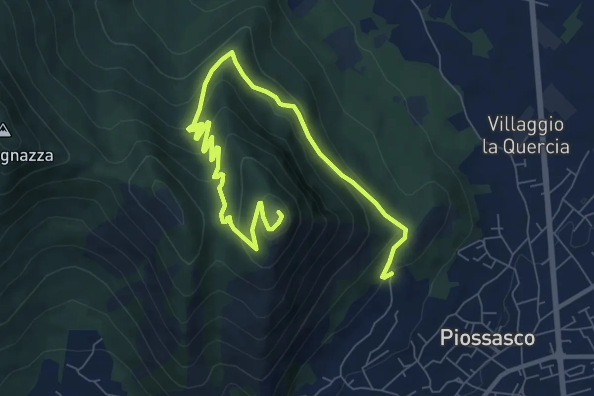
Medium · Summit
Cà Dorina – Bivio TOP304-TOP305, Monte San Giorgio
9.1 km · ↑ 466 m · 3 h 10 min · 14 km away
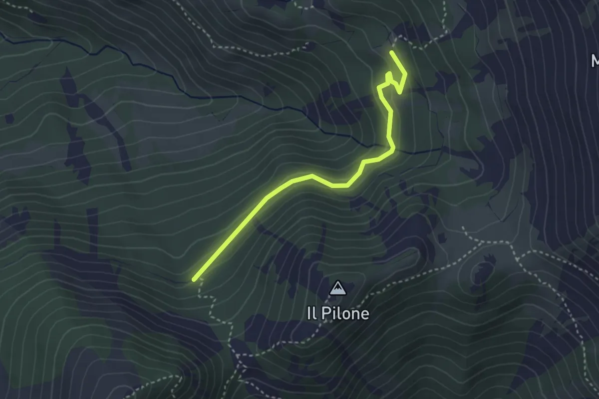
Easy · Cabin
Bivio 102-102C, San Vito – Bivio 102B-102C
3.3 km · ↑ 175 m · 1 h 10 min · 14 km away
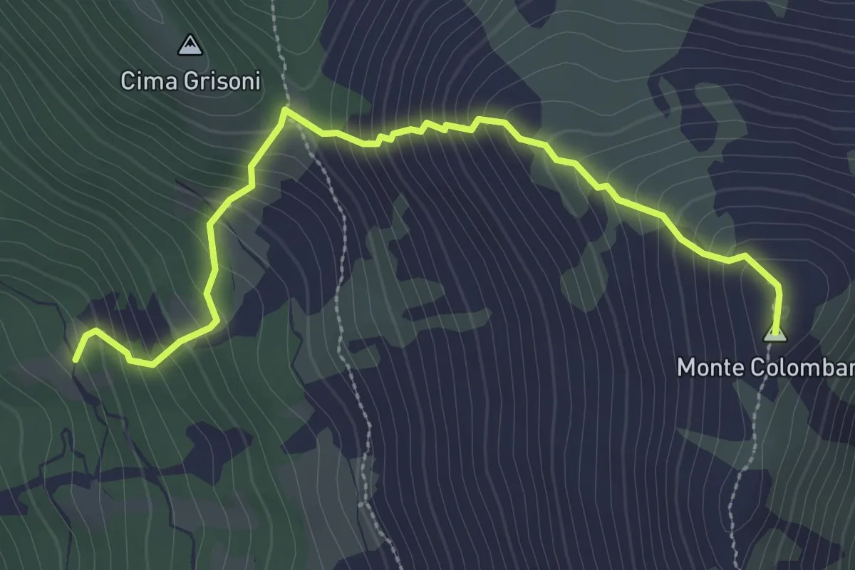
Medium · Summit
Bivio 102-102A, San Vito – Bivio 003A-102A, Monte Colombano
3.3 km · ↑ 400 m · 1 h 38 min · 14 km away
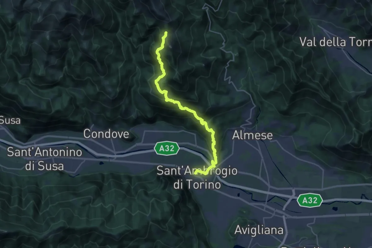
Demanding · Trail
Sant'Ambrogio – Bivio 571-577, Colle della Bassa
21.2 km · ↑ 1289 m · 7 h 48 min · 14 km away
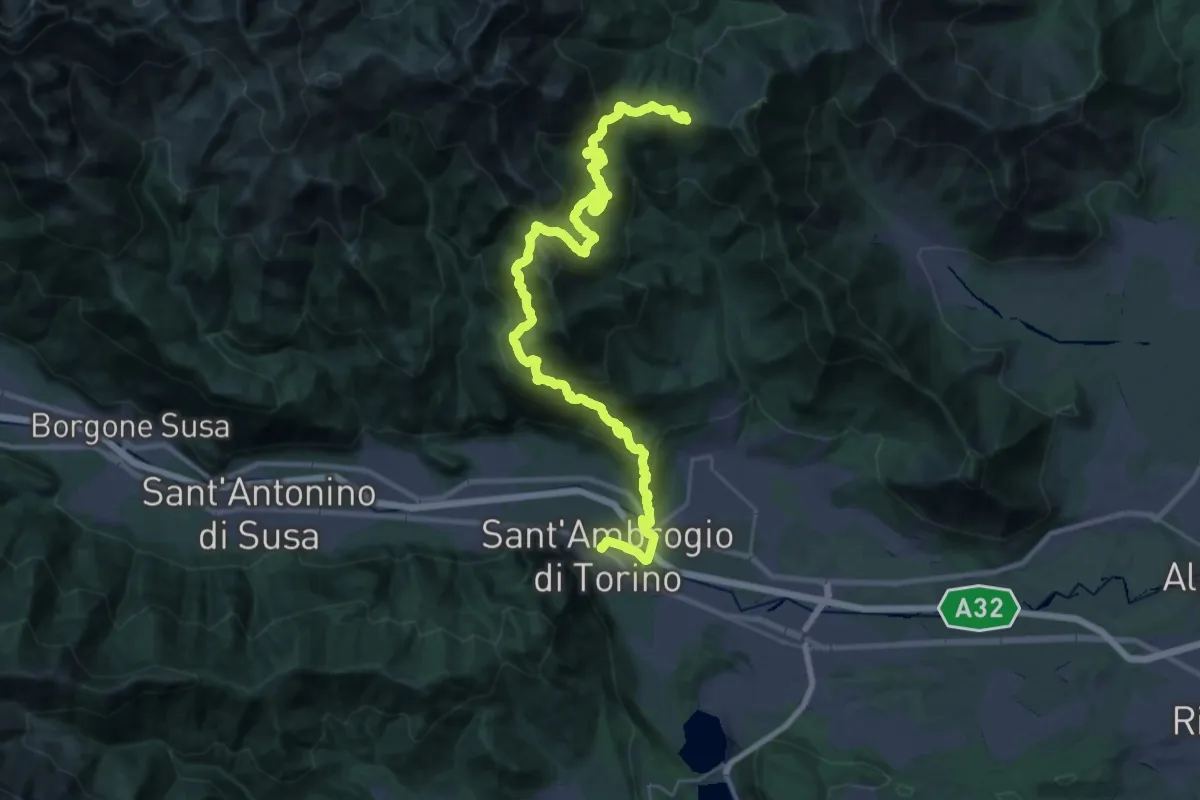
Demanding · Trail
Sentieri della Resistenza - Tappa 06
20.3 km · ↑ 1606 m · 8 h 4 min · 14 km away
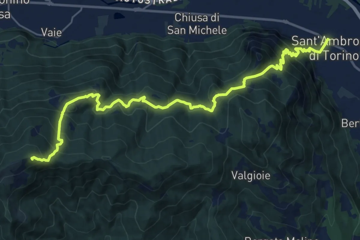
Demanding · Summit
Sentieri della Resistenza - Tappa 07
20.3 km · ↑ 1446 m · 7 h 55 min · 14 km away
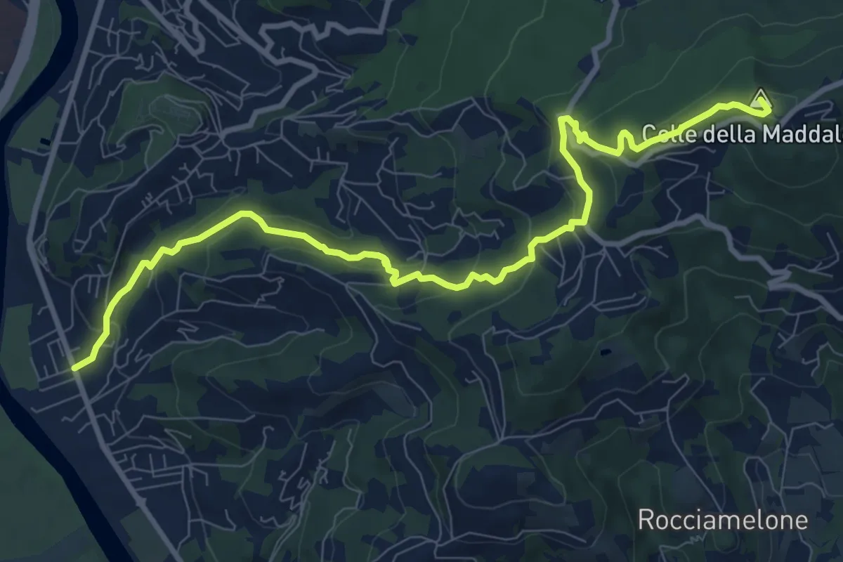
Medium · Summit
Moncalieri, Fioccardo – Colle della Maddalena, bivio TOC003-TOC010
10.7 km · ↑ 539 m · 3 h 42 min · 14 km away
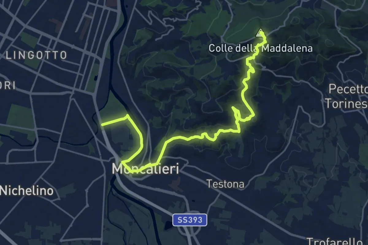
Demanding · Summit
Grande Traversata della Collina Tratto 1
21.3 km · ↑ 707 m · 6 h 34 min · 15 km away
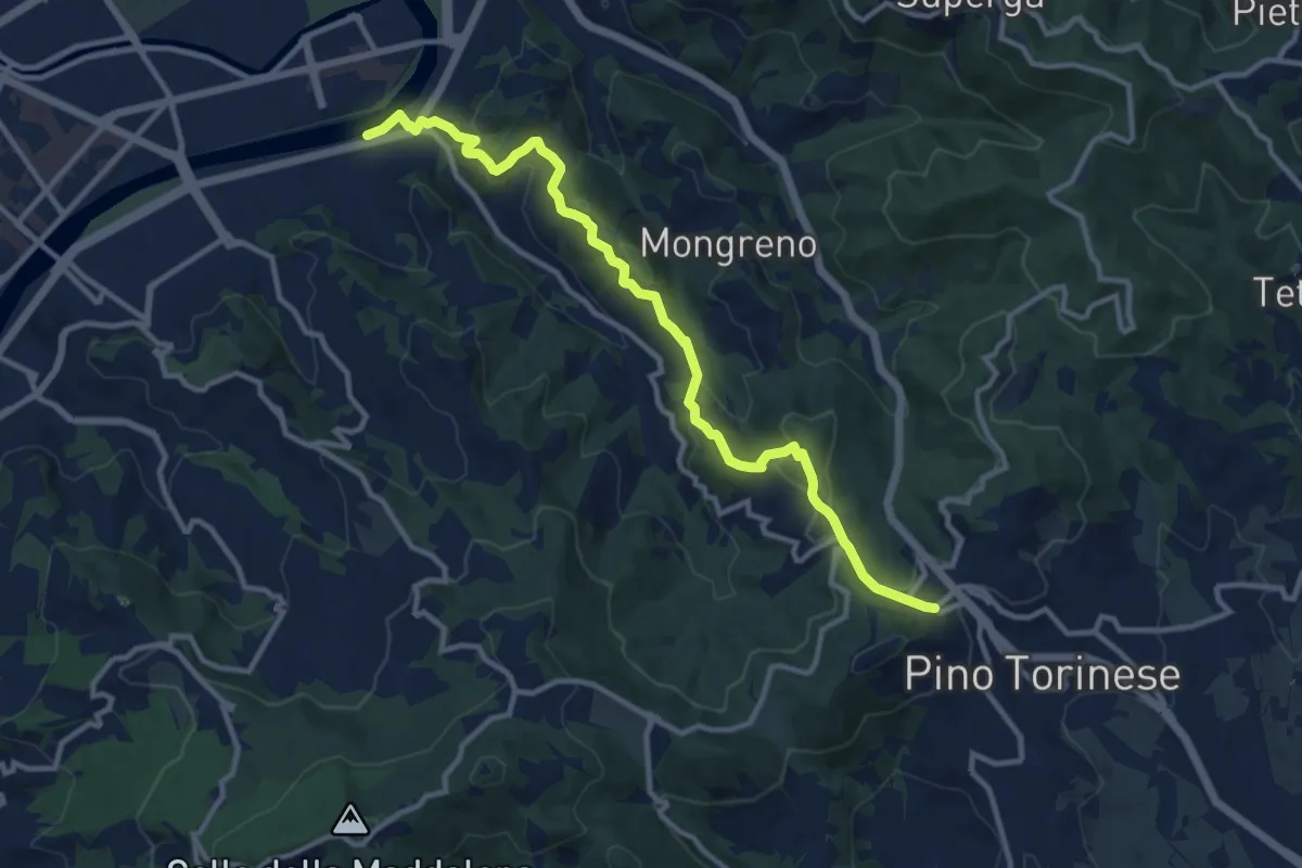
Medium · Trail
Torino, Madonna del Pilone, bivio TOC020-TOC022 – Pino Torinese, bivio TOC003-TOC022
12.4 km · ↑ 493 m · 4 h · 15 km away
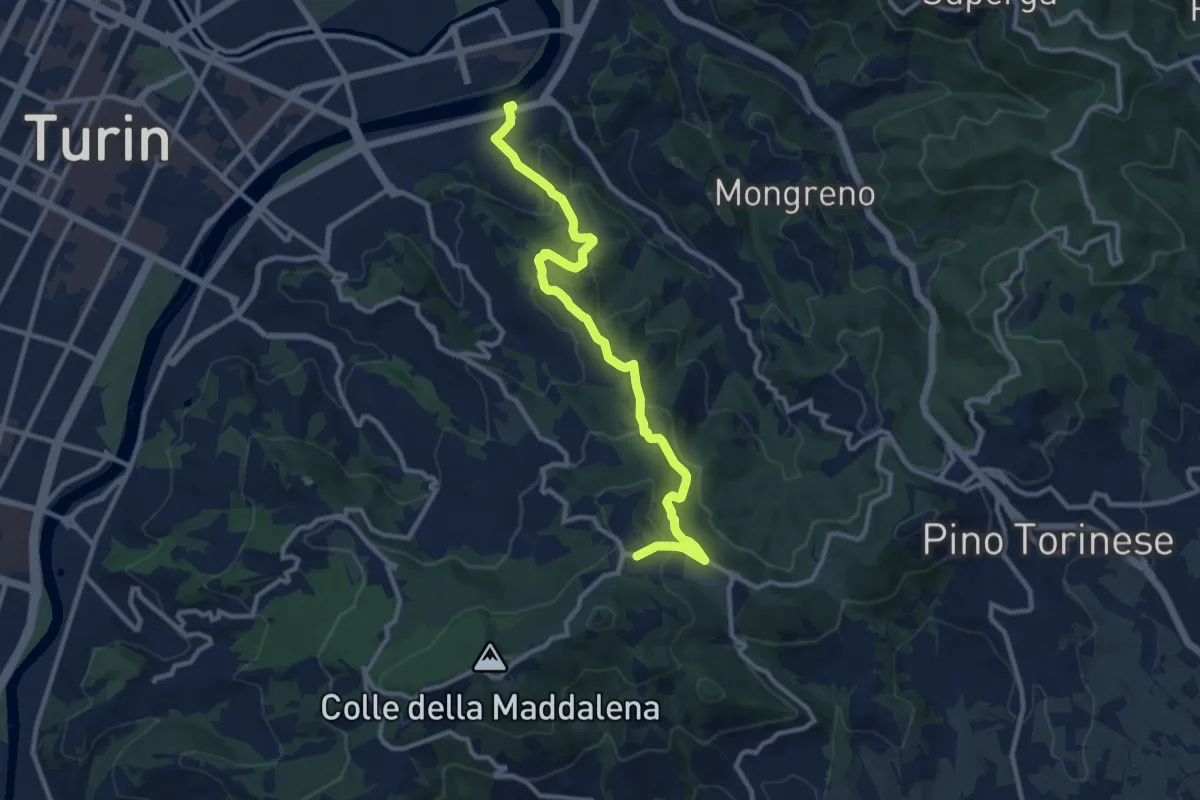
Medium · Trail
Torino, Madonna del Pilone, bivio TOC020-TOC022 – Pecetto Torinese, Eremo dei Camaldolesi, bivio TOC020-TOC016
12.0 km · ↑ 455 m · 3 h 49 min · 15 km away