Trails near Pieve di Soligo
52 hikes starting within 15 km, nearest first.
Nearest first, page 1 of 2
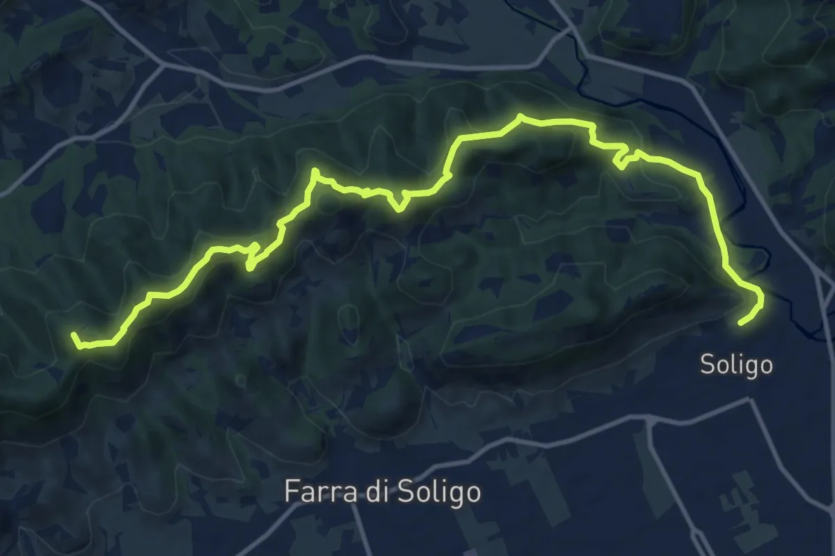
Medium · Summit
Sentiero delle Vedette
14.5 km · ↑ 664 m · 4 h 51 min · 2 km away
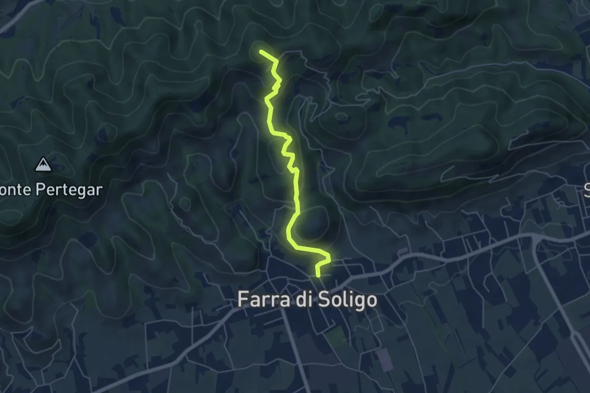
Medium · Summit
Sentiero delle Crepe
4.8 km · ↑ 331 m · 1 h 52 min · 4 km away
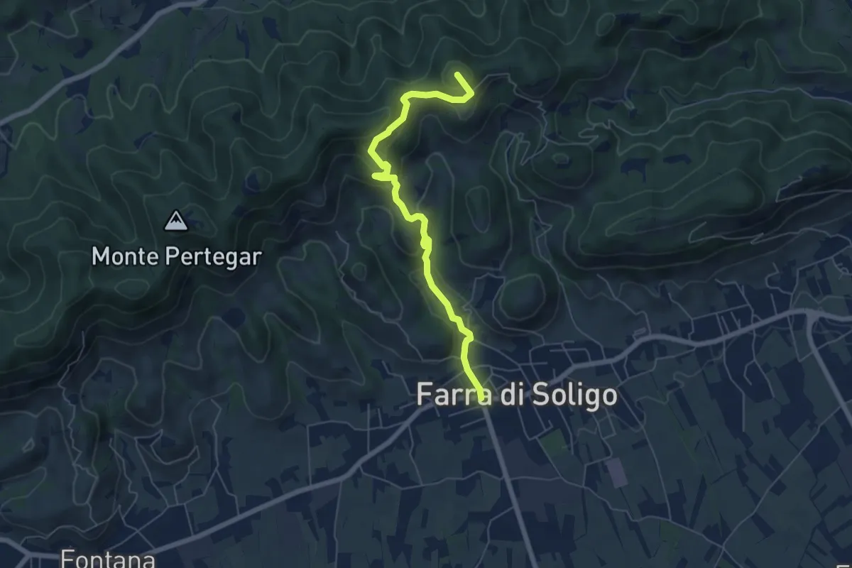
Medium · Summit
Le Costalliere
6.0 km · ↑ 335 m · 2 h 9 min · 4 km away
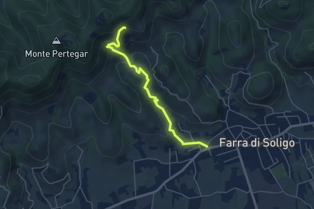
Easy · Trail
Gor della Cuna
4.3 km · ↑ 261 m · 1 h 35 min · 5 km away
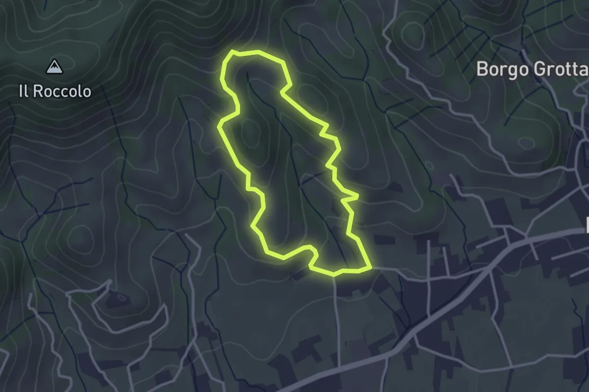
Easy · Trail
La Biodiversità
2.7 km · ↑ 152 m · 1 h 1 min · 5 km away
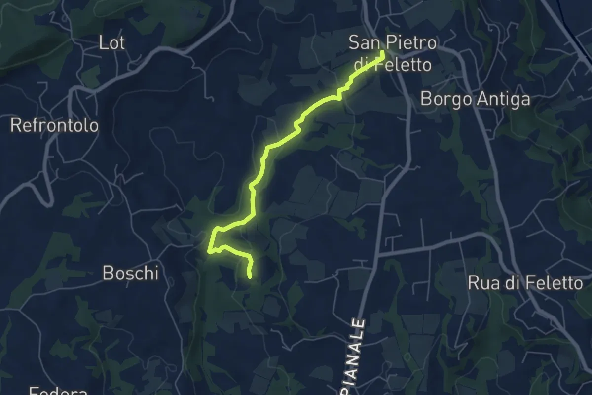
Easy · Trail
Val Trippera
5.2 km · ↑ 168 m · 1 h 36 min · 6 km away
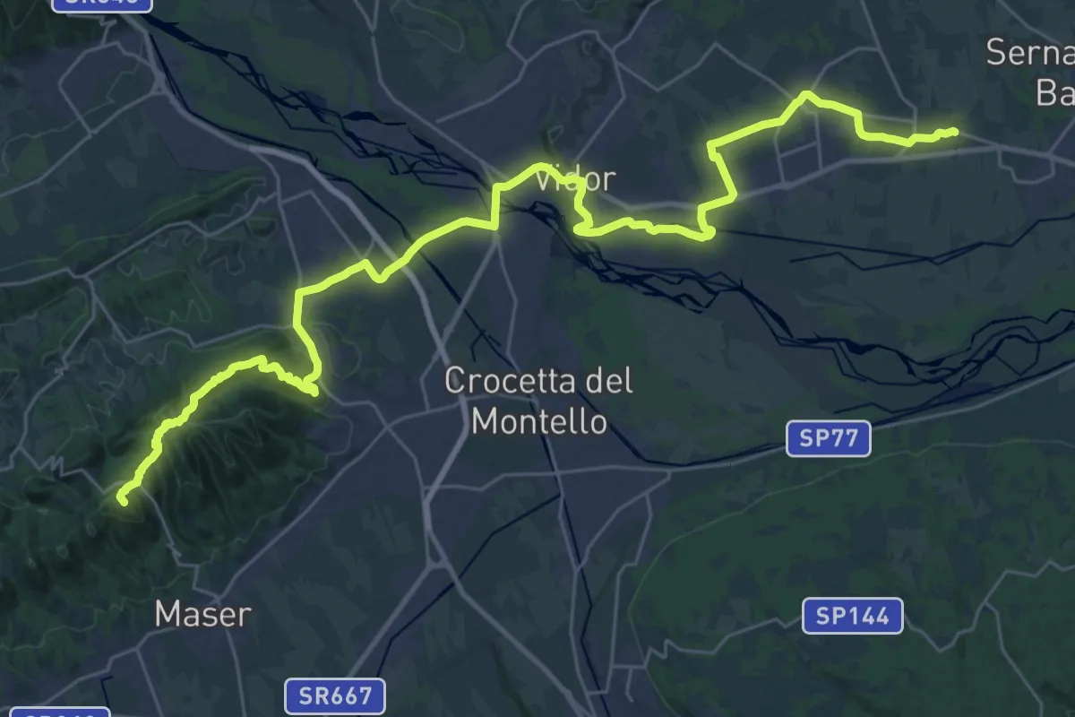
Demanding · Summit
Cammino del Beato Claudio 02
39.3 km · ↑ 734 m · 10 h 52 min · 6 km away
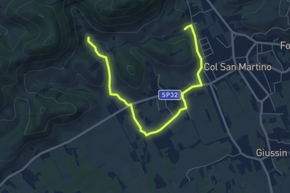
Easy · Trail
Il Terroir
3.2 km · ↑ 64 m · 56 min · 7 km away
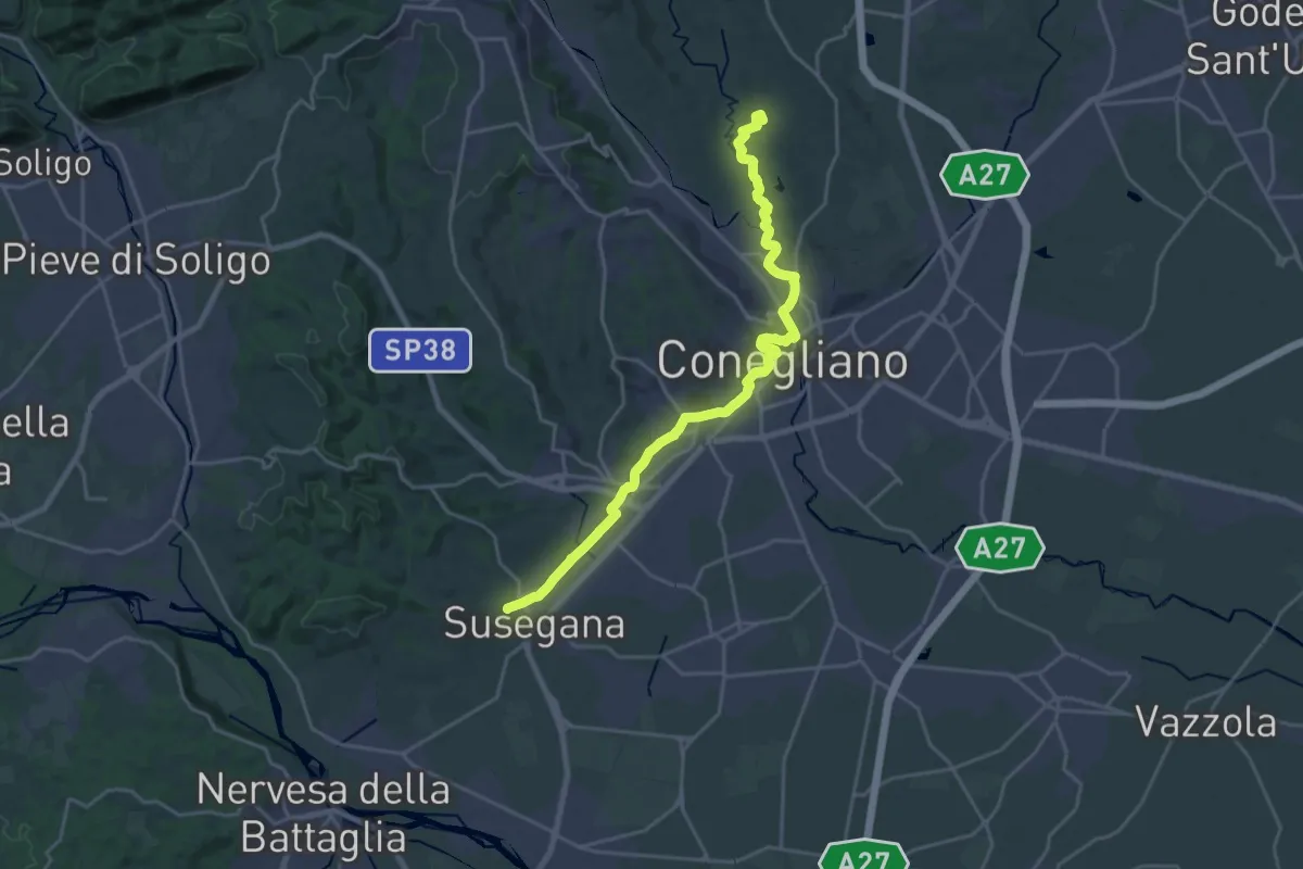
Demanding · Trail
Il Cammino di Sant'Antonio - Tappa 07G
23.4 km · ↑ 265 m · 6 h 7 min · 8 km away
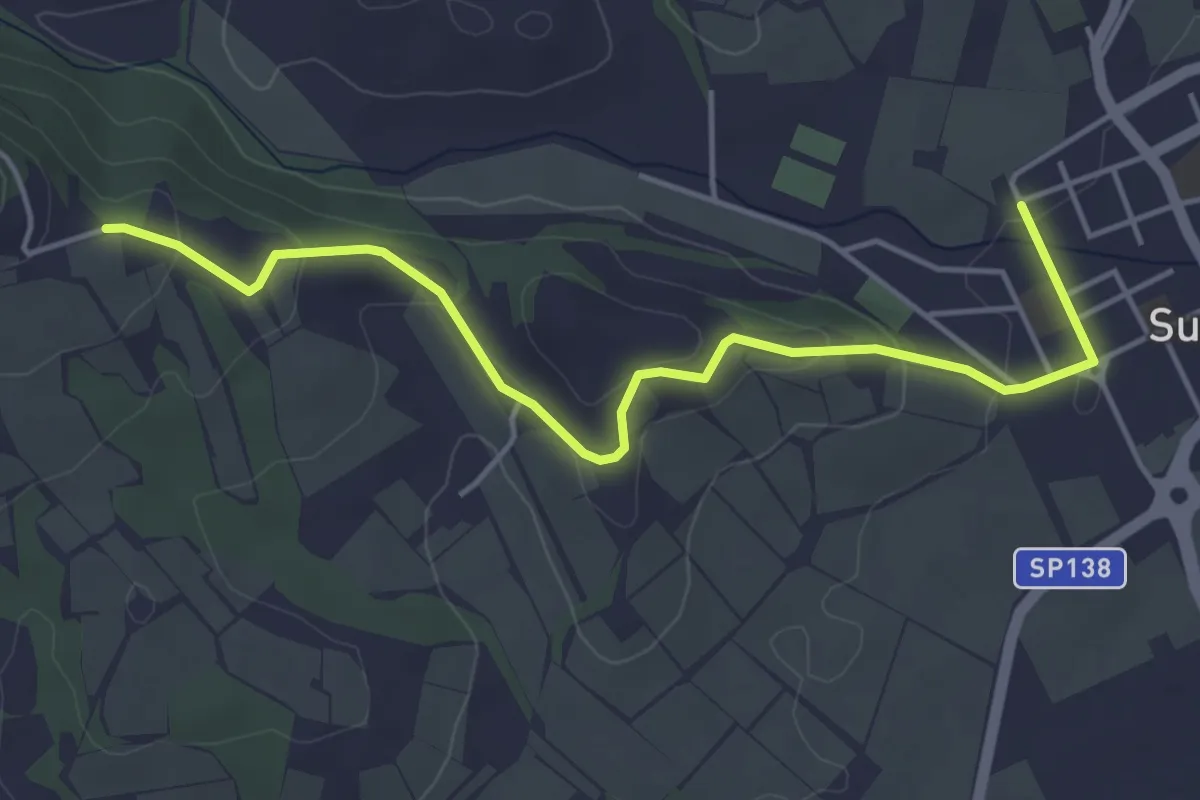
Easy · Trail
Il Cammino di Sant'Antonio - Tappa 08G
5.0 km · ↑ 129 m · 1 h 27 min · 8 km away
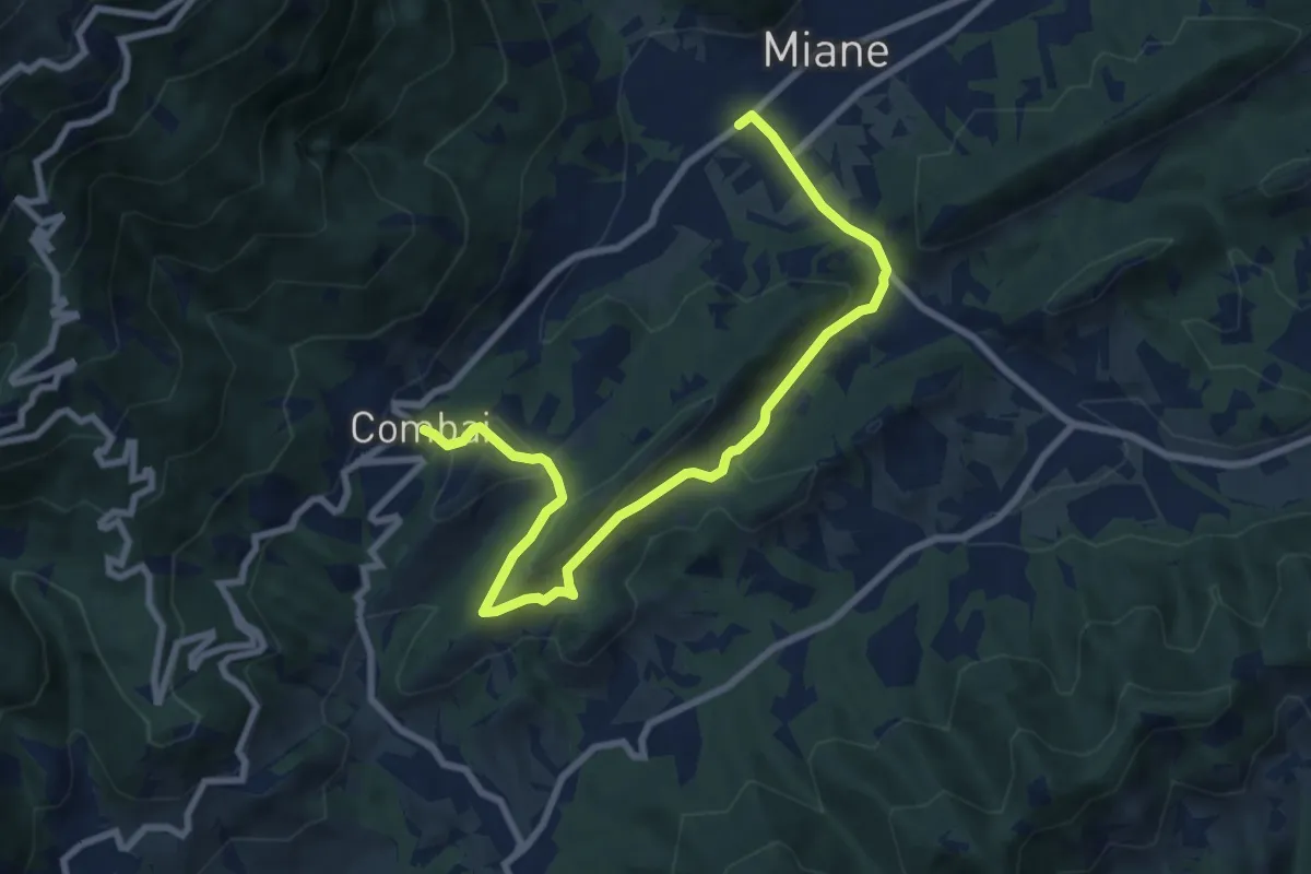
Medium · Trail
Le Serre
9.5 km · ↑ 324 m · 2 h 57 min · 8 km away
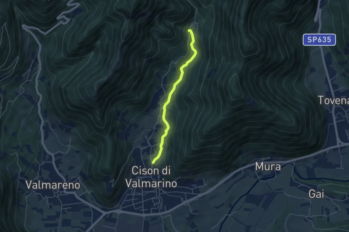
Easy · Trail
Via dell'Acqua
4.2 km · ↑ 160 m · 1 h 20 min · 8 km away
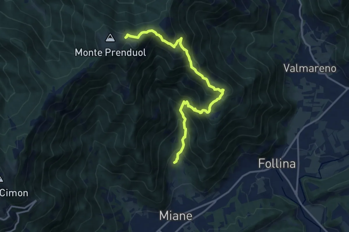
Demanding · Cabin
Miane - Costolada – Malga Mont
10.6 km · ↑ 944 m · 4 h 32 min · 9 km away
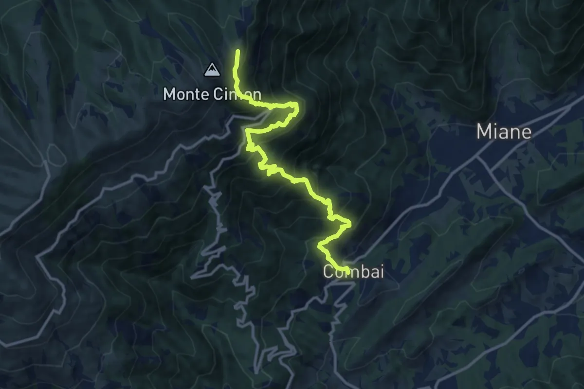
Demanding · Cabin
Combai – Rifugio Posa Puner
11.0 km · ↑ 1095 m · 4 h 59 min · 9 km away
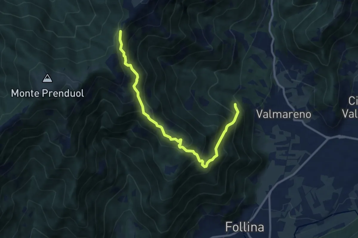
Demanding · Trail
Valle Fornacetta da sentiero 1070 quota 400 – Forcella Val portole innesto sentiero 1023
8.4 km · ↑ 879 m · 3 h 53 min · 9 km away
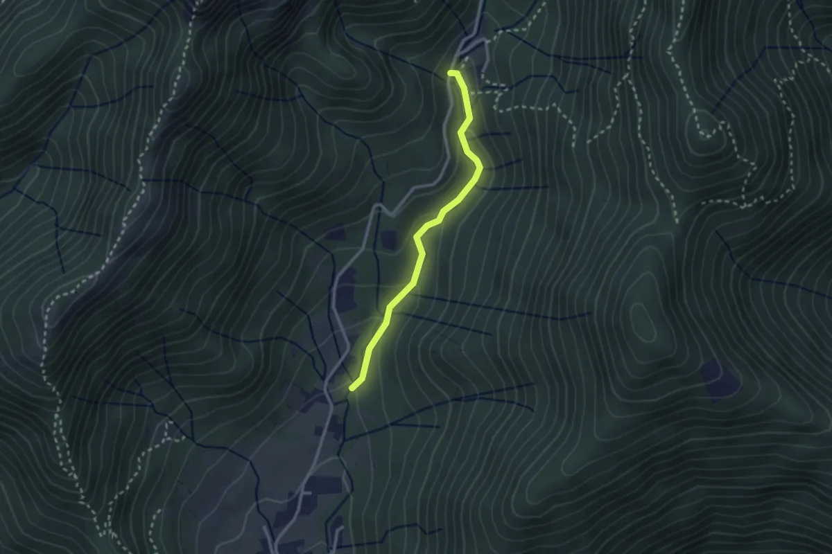
Easy · Trail
Sentiero Bujon del gal
2.4 km · ↑ 109 m · 48 min · 9 km away
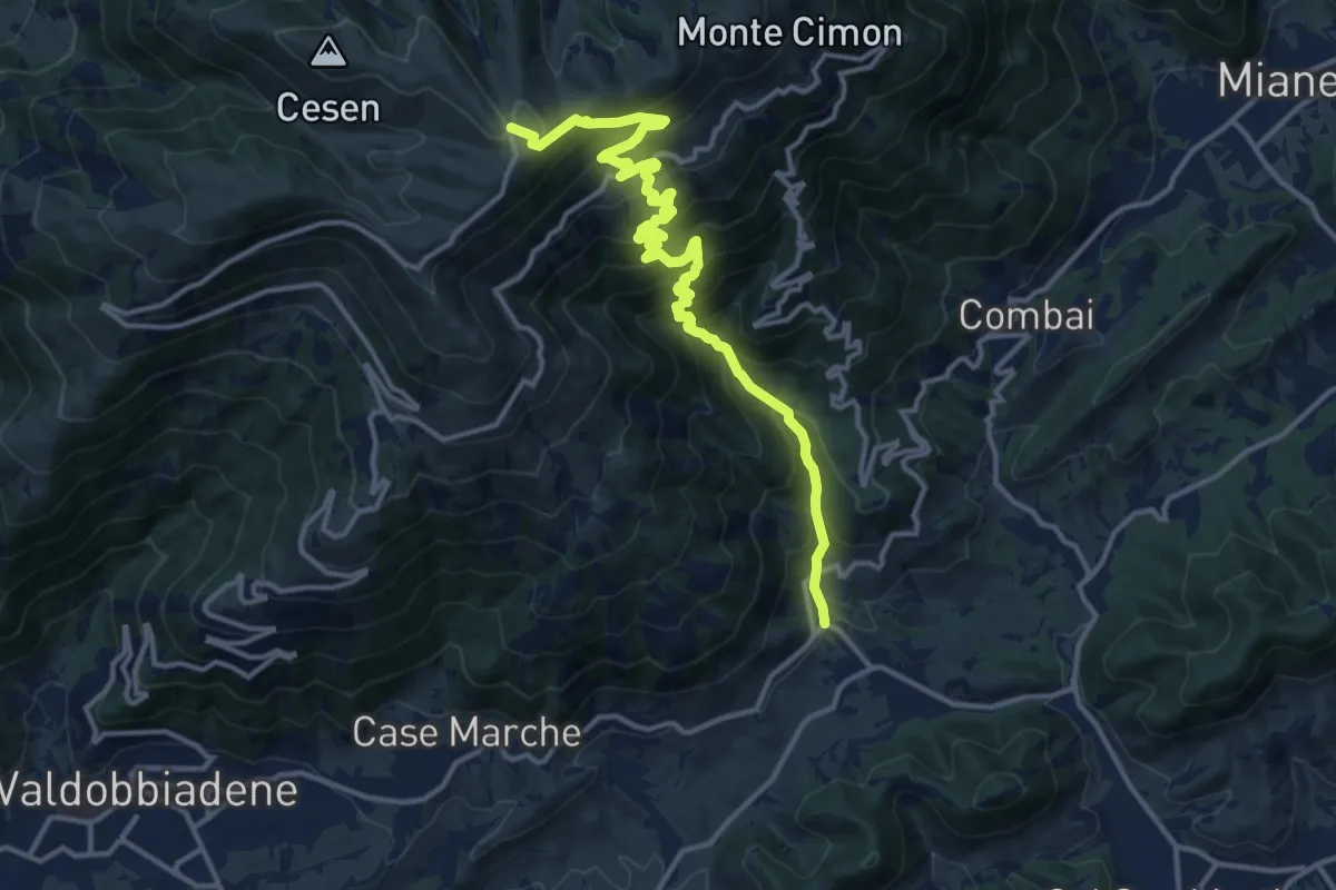
Demanding · Trail
Guia – Malga Mariech
15.4 km · ↑ 1265 m · 6 h 23 min · 9 km away
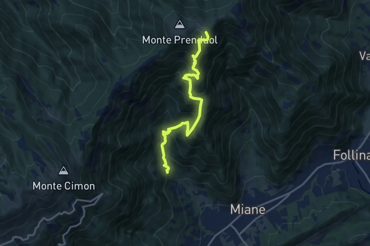
Demanding · Summit
Miane - Madonna del Carmine – Malga Mont
9.1 km · ↑ 974 m · 4 h 16 min · 9 km away
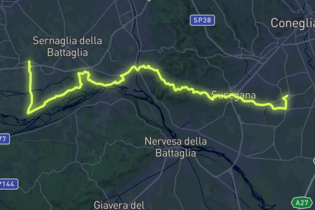
Demanding · Pilgrim path
Cammino del Beato Claudio 01
23.0 km · ↑ 300 m · 6 h 22 min · 10 km away
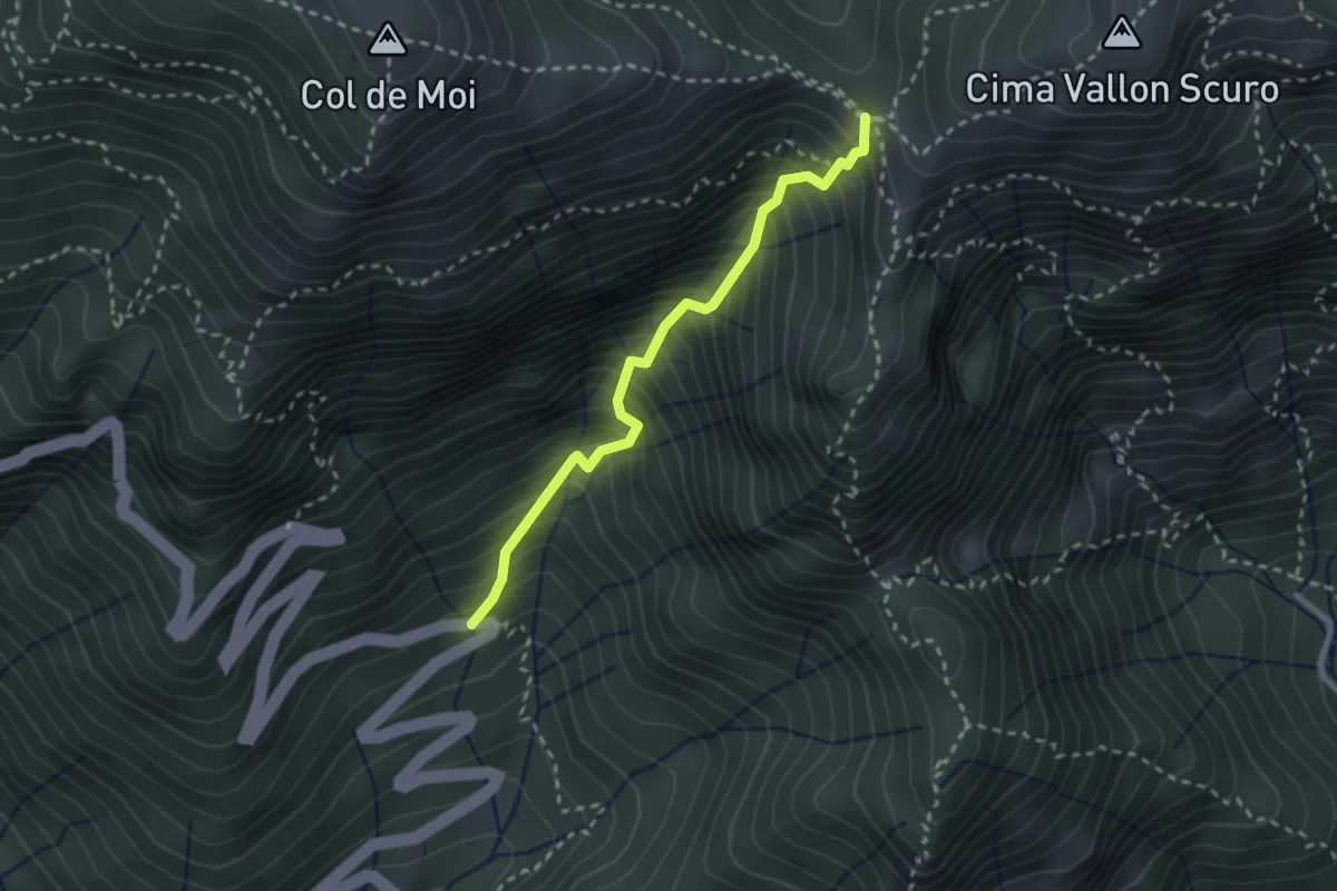
Medium · Trail
Via Corin (settimo tornante) – Forcella Foran
2.5 km · ↑ 499 m · 1 h 40 min · 11 km away
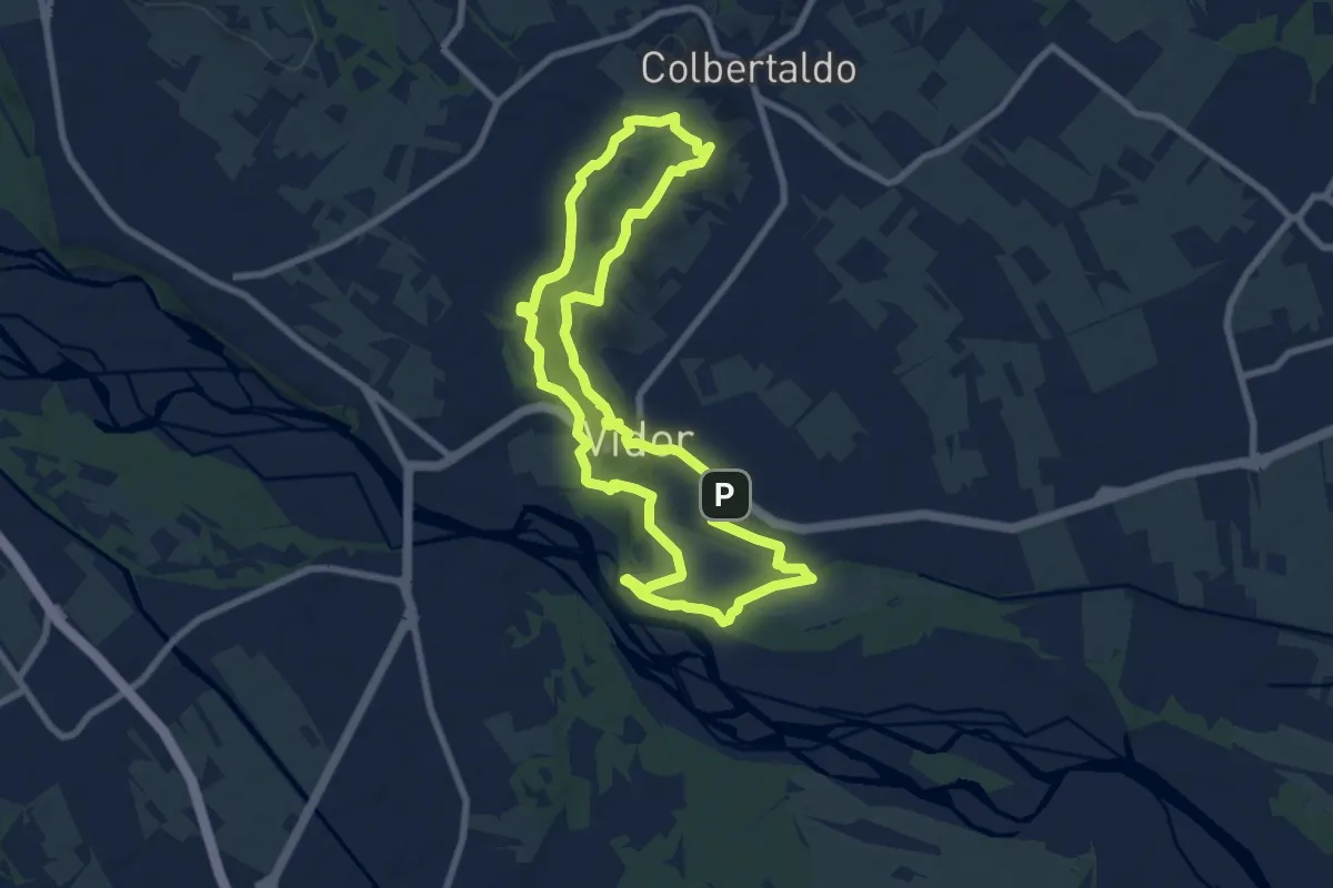
Medium · Summit
Sentiero dal Sacro al Pro...secco
8.1 km · ↑ 128 m · 2 h 18 min · 11 km away
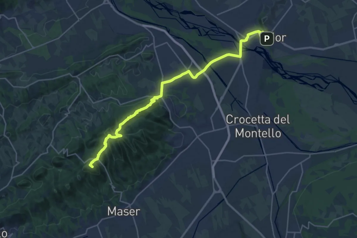
Demanding · Summit
Il Cammino di Sant'Antonio - Tappa 09G
20.4 km · ↑ 630 m · 6 h 11 min · 11 km away
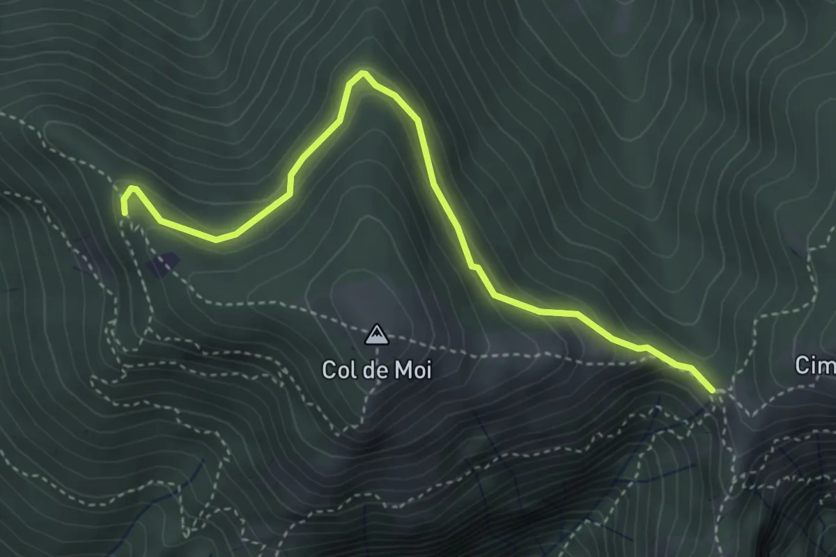
Easy · Trail
Anello Col De Moi (variante)
4.1 km · ↑ 187 m · 1 h 22 min · 12 km away
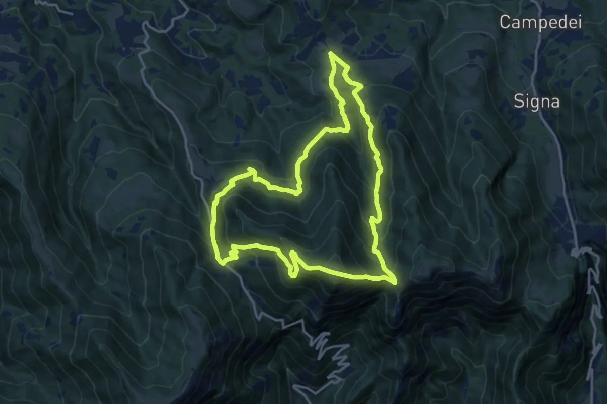
Medium · Summit
Anello di Col De Moi
12.2 km · ↑ 786 m · 4 h 45 min · 12 km away
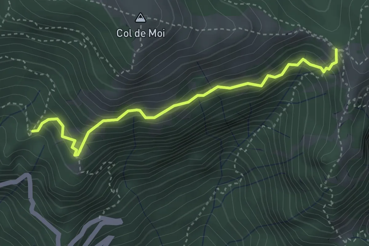
Medium · Trail
Sentiero CAI 991 presso "La Panchina" – Forcella Foran
3.3 km · ↑ 452 m · 1 h 45 min · 12 km away
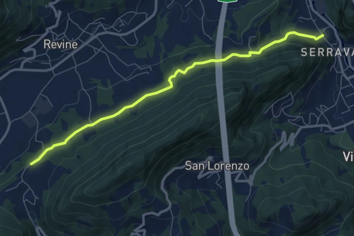
Easy · Trail
Via dell'acqua
7.0 km · ↑ 230 m · 2 h 10 min · 12 km away
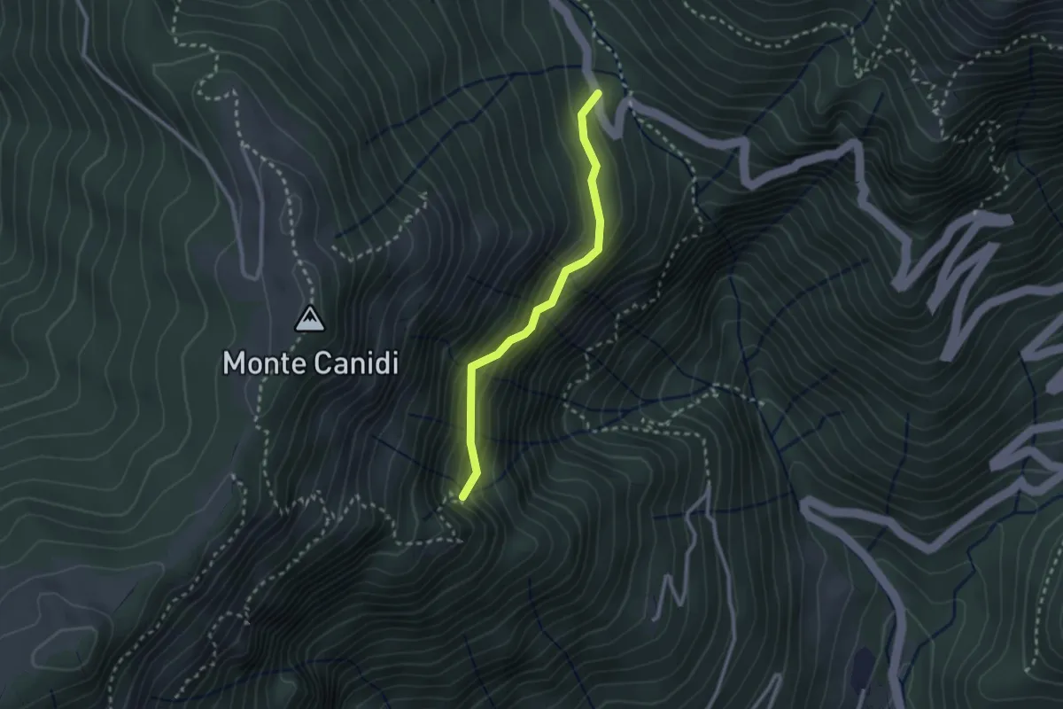
Medium · Trail
Troi del Pindol
2.3 km · ↑ 262 m · 1 h 7 min · 12 km away
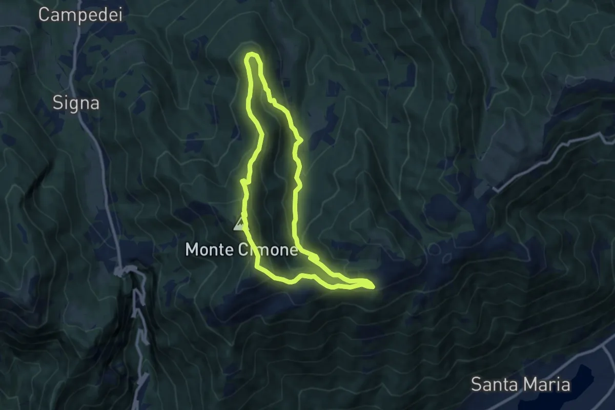
Medium · Summit
Anello Col dei Gai - Monte Cimone - Posa
8.3 km · ↑ 460 m · 3 h 4 min · 12 km away
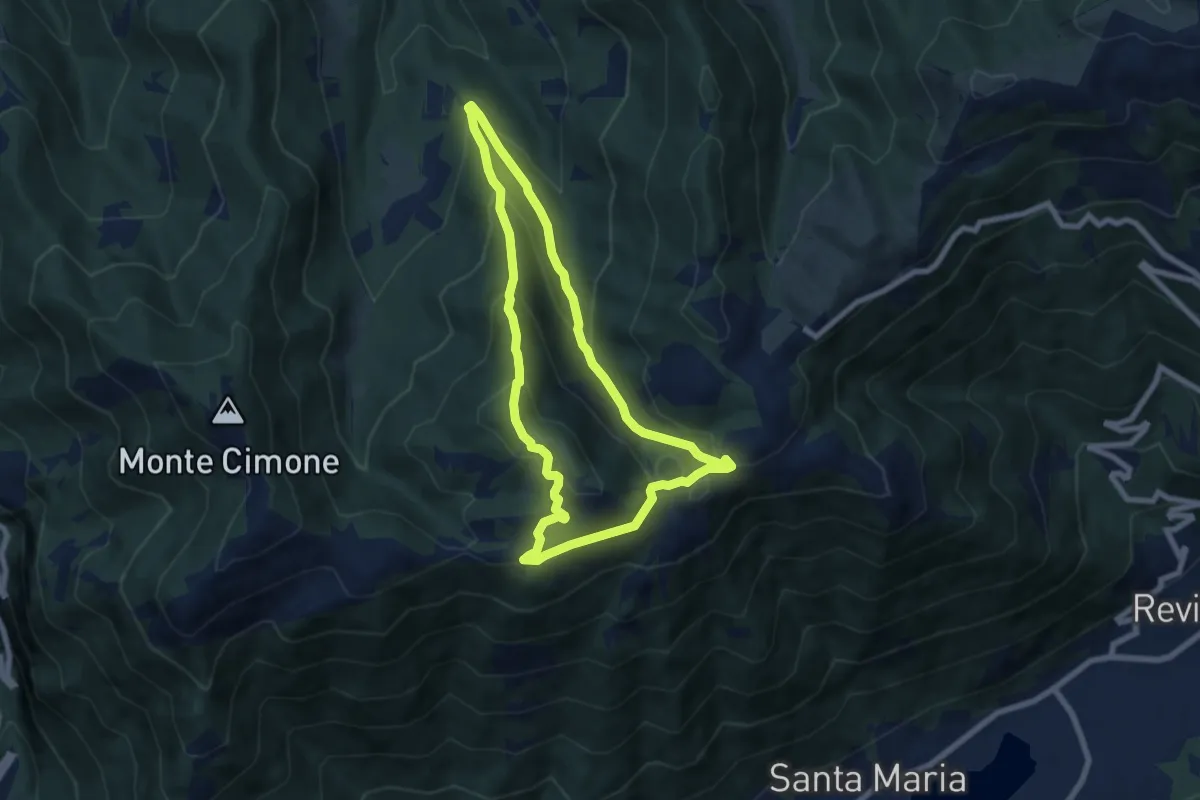
Medium · Summit
Anello del Monte Boral
6.6 km · ↑ 375 m · 2 h 28 min · 12 km away
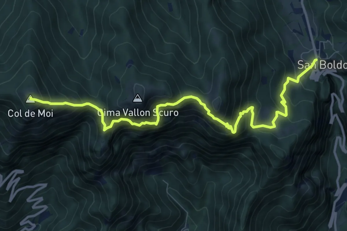
Demanding · Summit
Passo Praderadego – Passo Scaletta (Passo S. Boldo)
10.5 km · ↑ 1004 m · 4 h 40 min · 12 km away
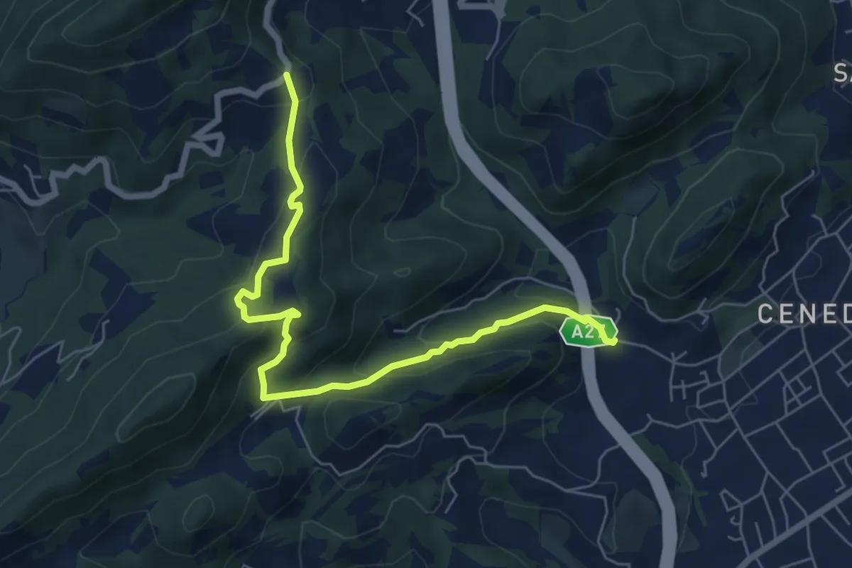
Medium · Trail
Montebello - Borgo Castagnè - Monte Baldo - Borgo Vignola
6.6 km · ↑ 398 m · 2 h 26 min · 12 km away
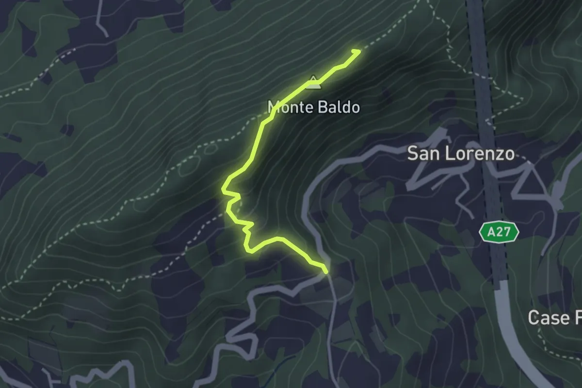
Medium · Summit
Monte Baldo
2.9 km · ↑ 190 m · 1 h 5 min · 12 km away
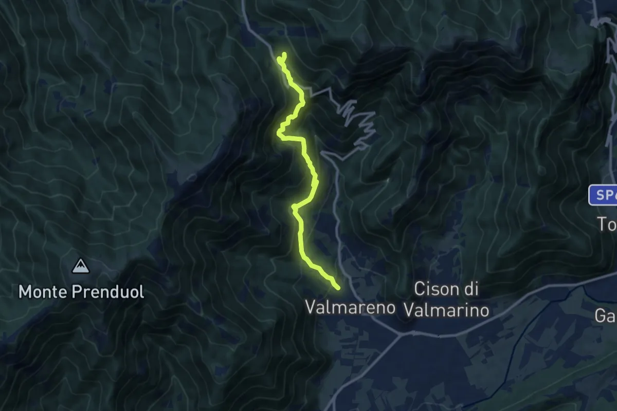
Demanding · Trail
Valmareno Località Peroz – Praderadego
9.1 km · ↑ 841 m · 3 h 58 min · 12 km away
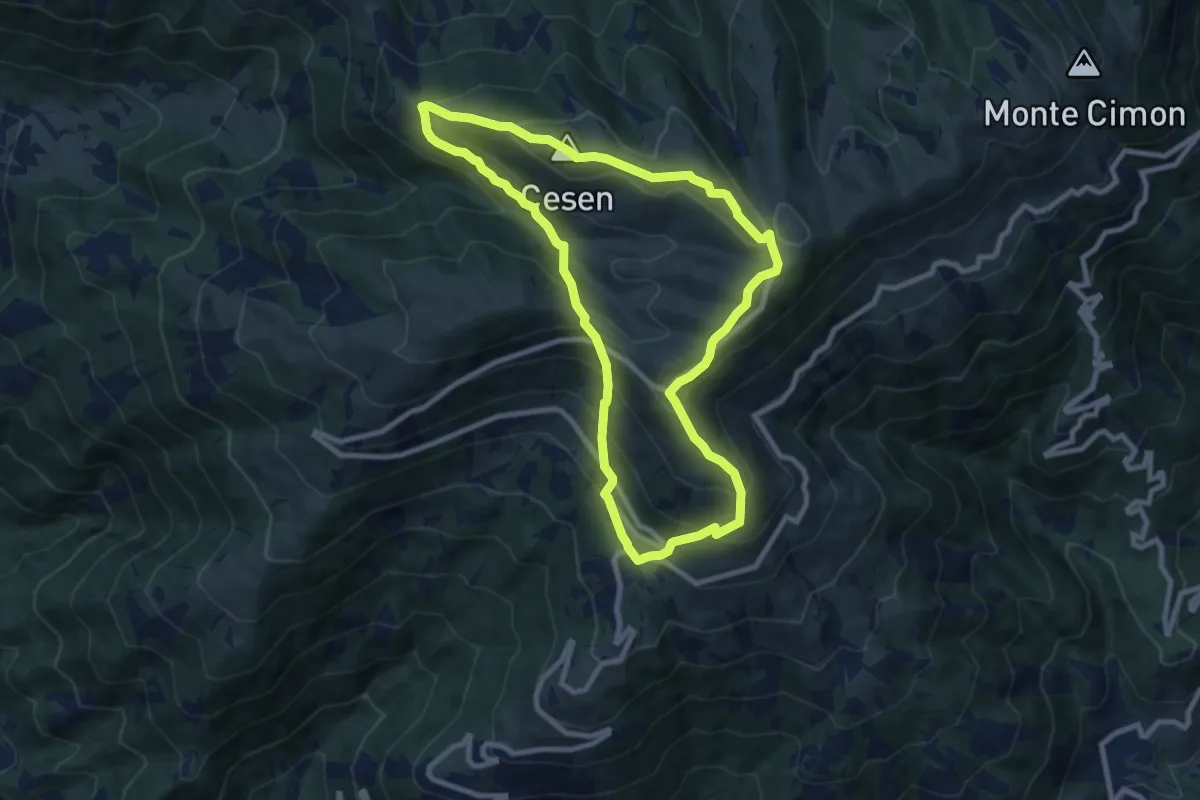
Medium · Summit
1008 Anello del Cesen
8.6 km · ↑ 641 m · 3 h 32 min · 12 km away
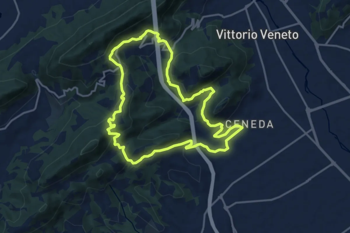
Medium · Summit
V13 - Perdonanzestellung
9.5 km · ↑ 496 m · 3 h 27 min · 12 km away
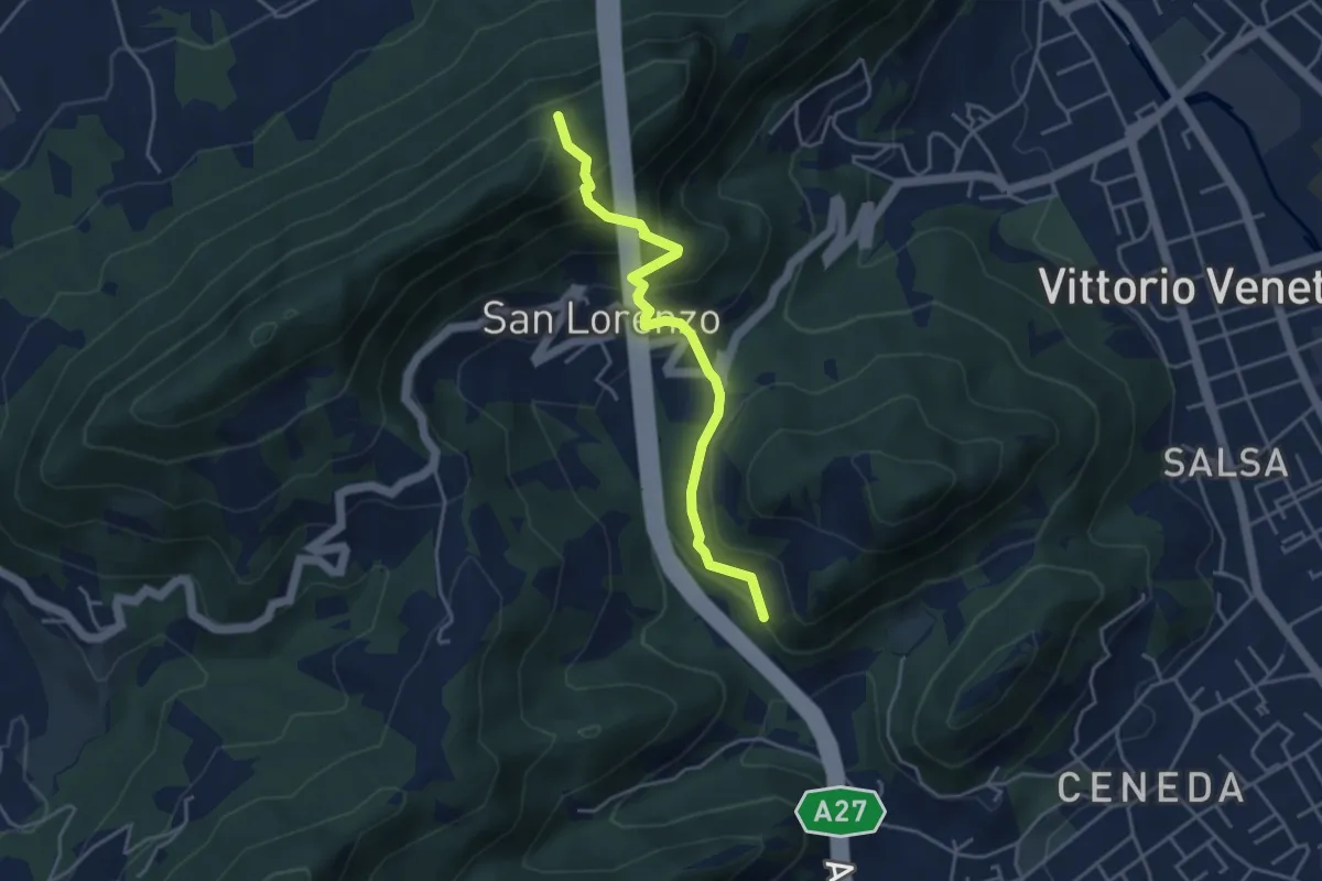
Medium · Trail
Raccordi sent. 1041 / 1042 – Borgo Vignola - Loc. S. Lorenzo
4.1 km · ↑ 325 m · 1 h 40 min · 12 km away
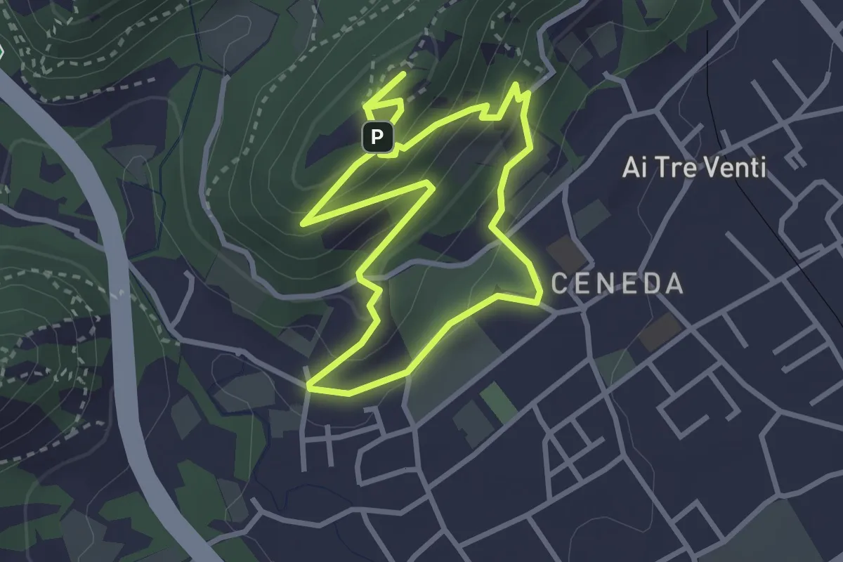
Easy · Summit
V11 - Colle San Paolo
2.7 km · ↑ 152 m · 1 h 1 min · 13 km away
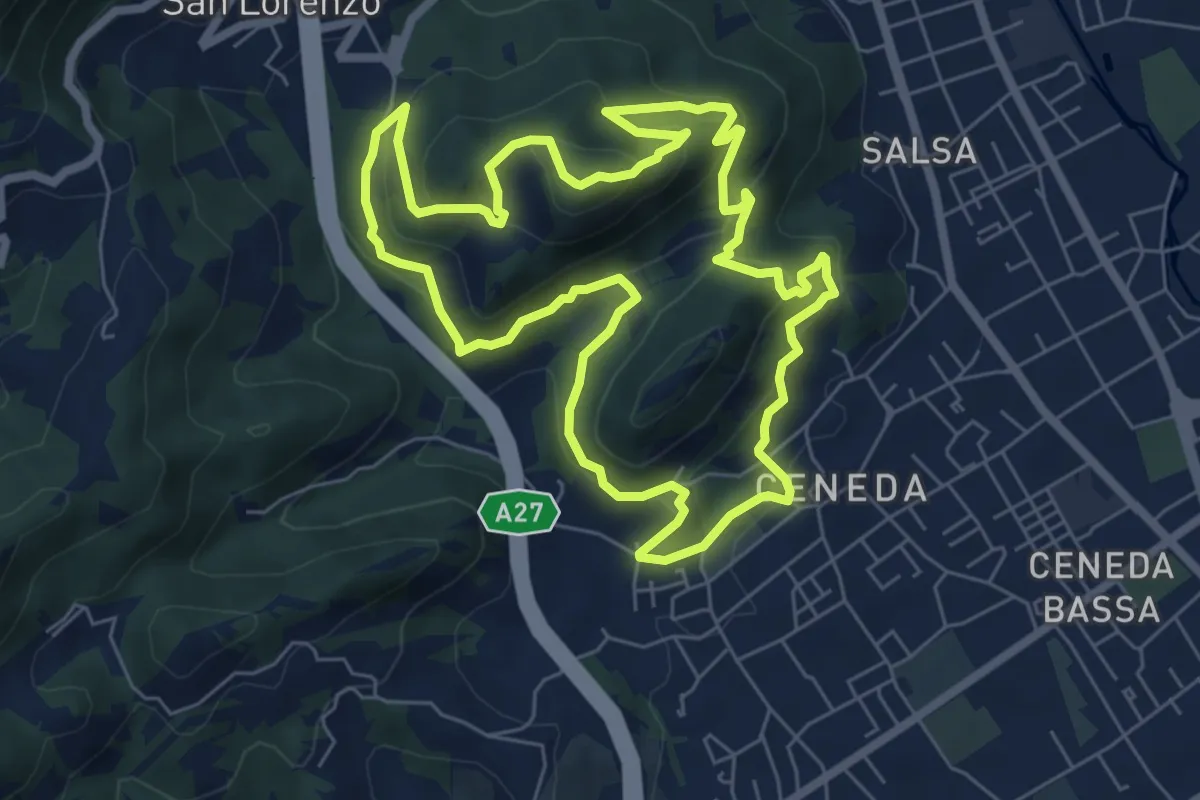
Medium · Summit
Ceneda - Piazza Giovanni Paolo I – Ceneda - Piazza Giovanni Paolo I
7.0 km · ↑ 416 m · 2 h 40 min · 13 km away
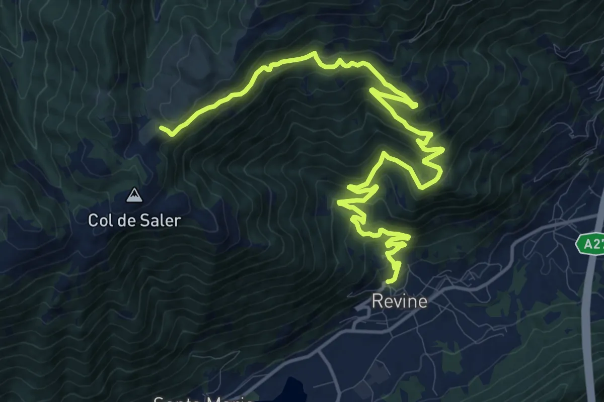
Demanding · Trail
Tag 24 V2 Traumpfad München Venedig
16.8 km · ↑ 994 m · 6 h 7 min · 13 km away
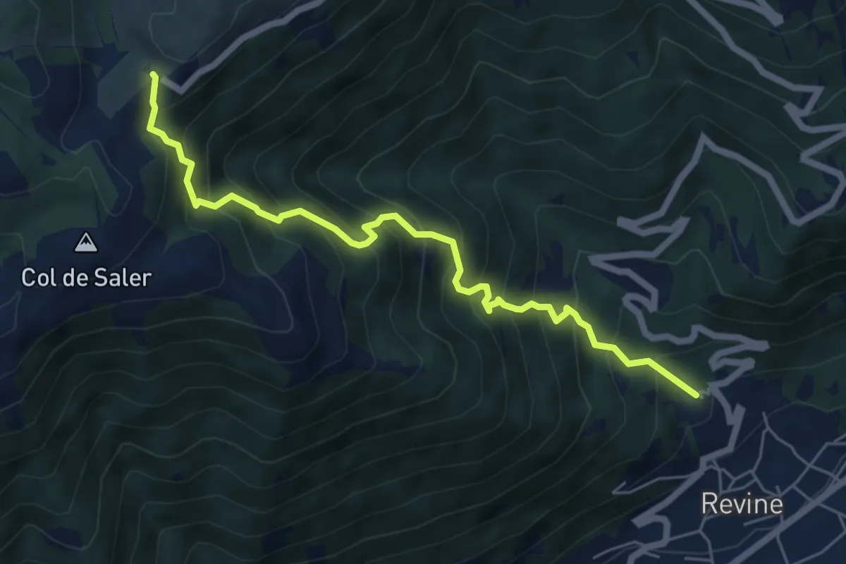
Medium · Trail
Revine Lago – Pian de le Femene
6.0 km · ↑ 788 m · 3 h 7 min · 13 km away
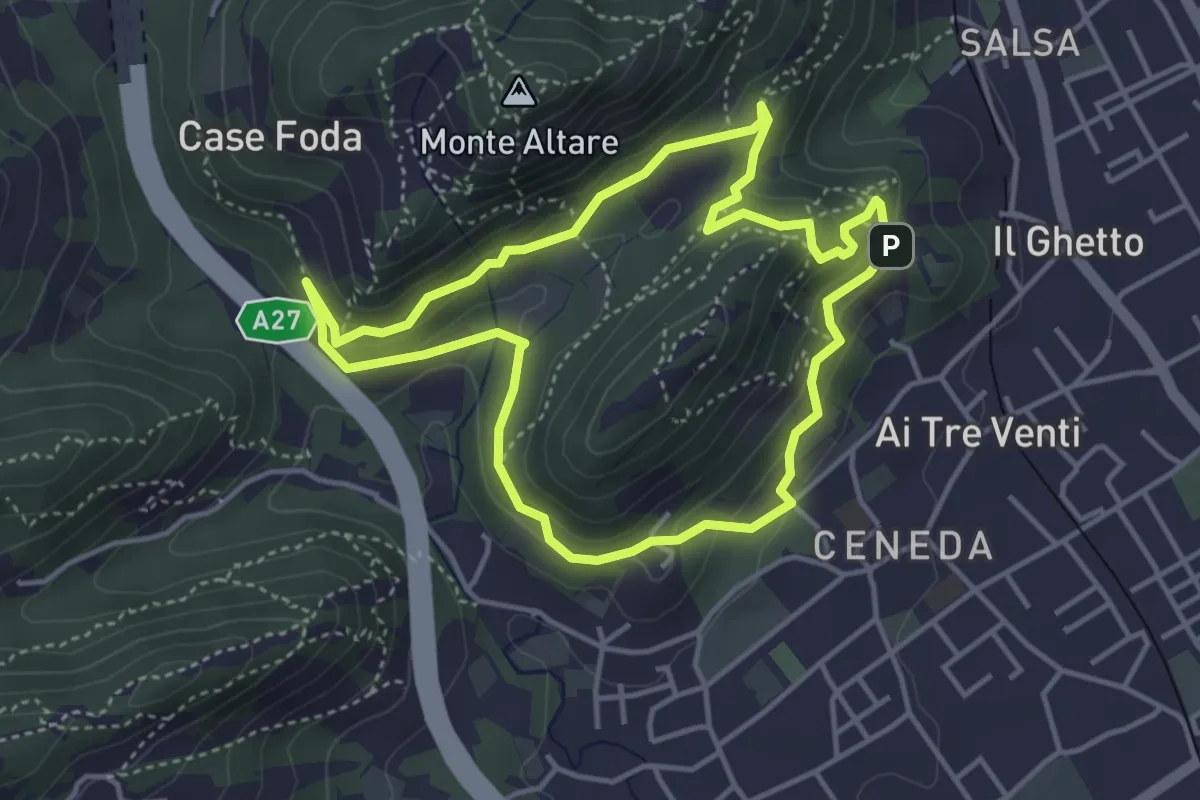
Easy · Summit
Ceneda - San Rocco - Case Posoccon - Castello di San Martino
4.0 km · ↑ 209 m · 1 h 27 min · 13 km away
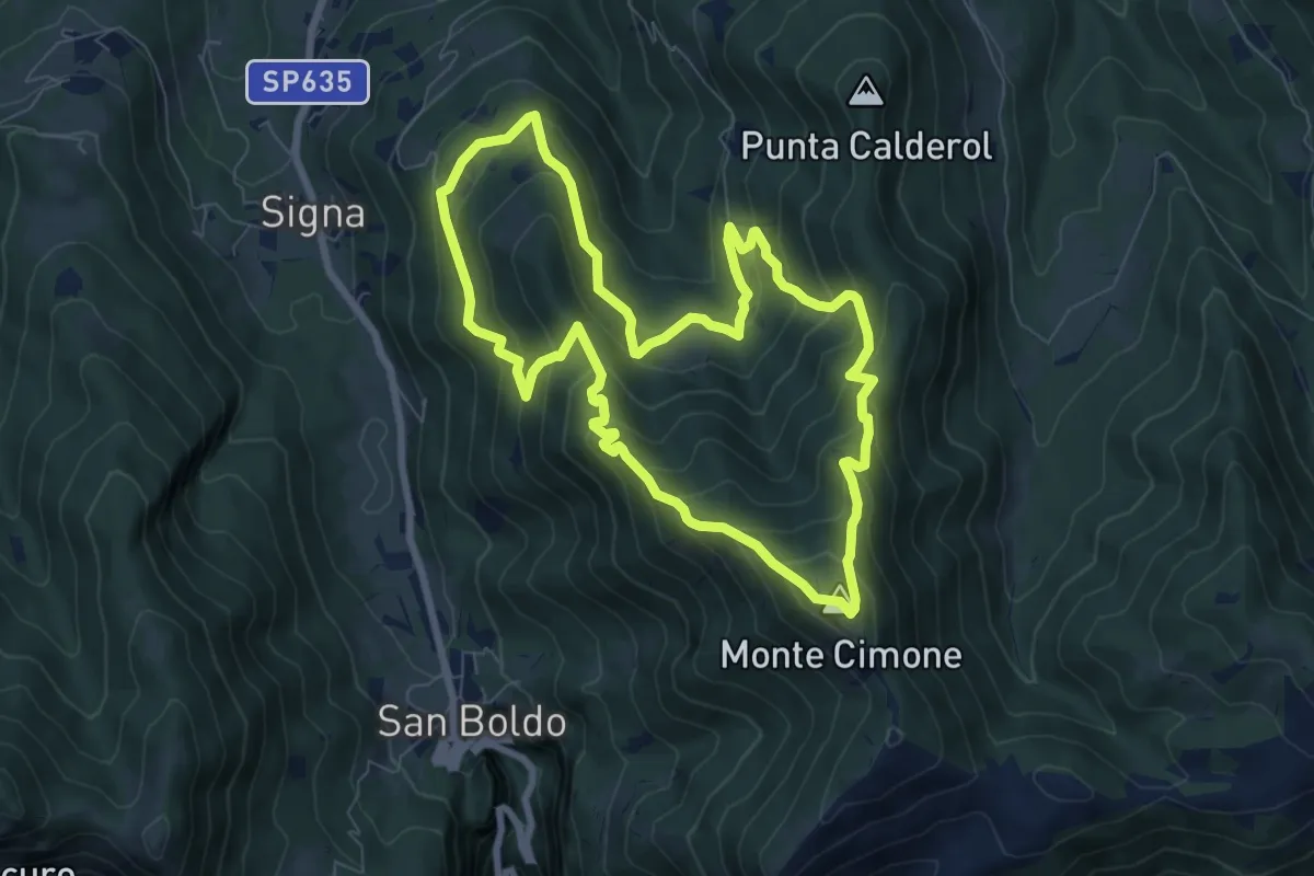
Medium · Summit
Anello Monte Cimone - Val de Scroa
7.7 km · ↑ 573 m · 3 h 10 min · 13 km away
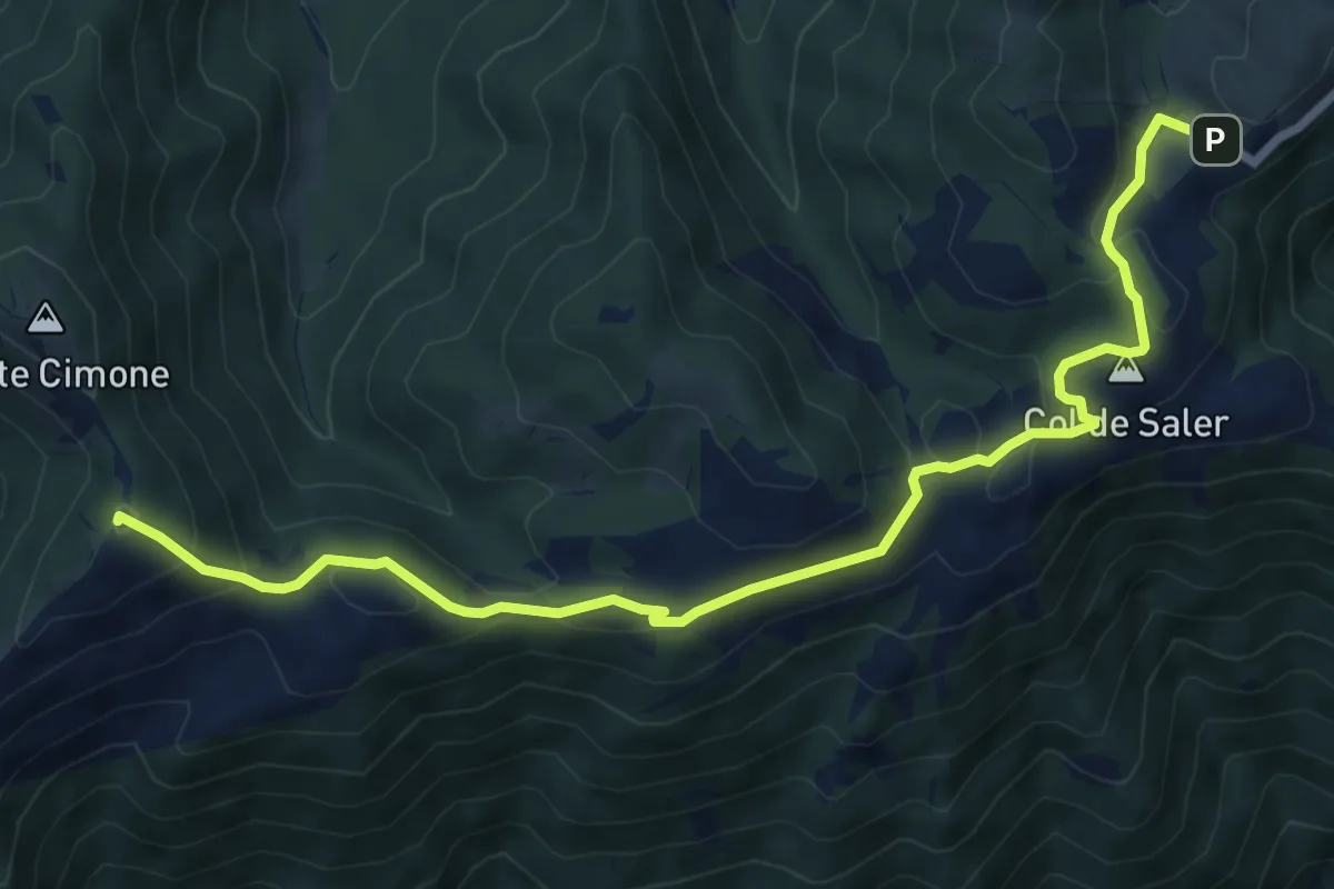
Medium · Summit
Passo S. Boldo - Fontana da Bafa – Pian de le Femene
8.3 km · ↑ 326 m · 2 h 40 min · 13 km away
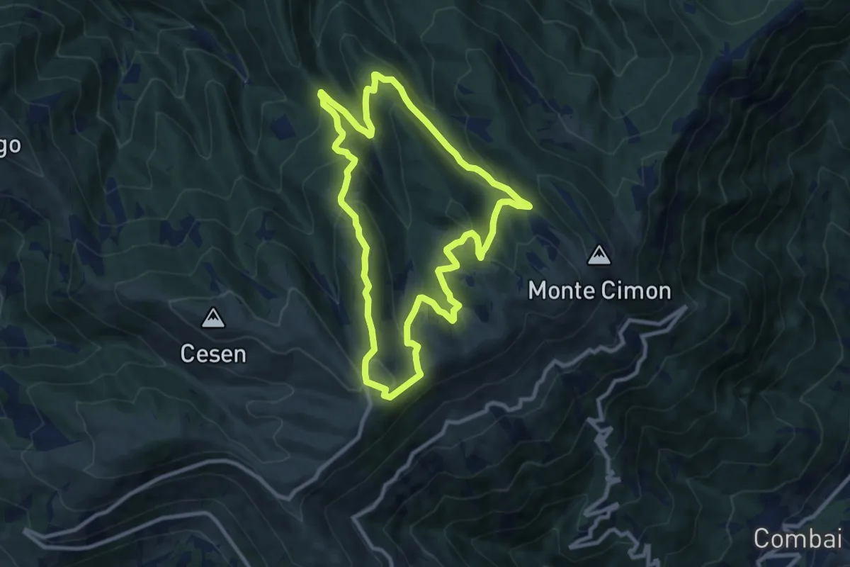
Medium · Trail
1011 Anello di Mariech
9.0 km · ↑ 454 m · 3 h 14 min · 14 km away
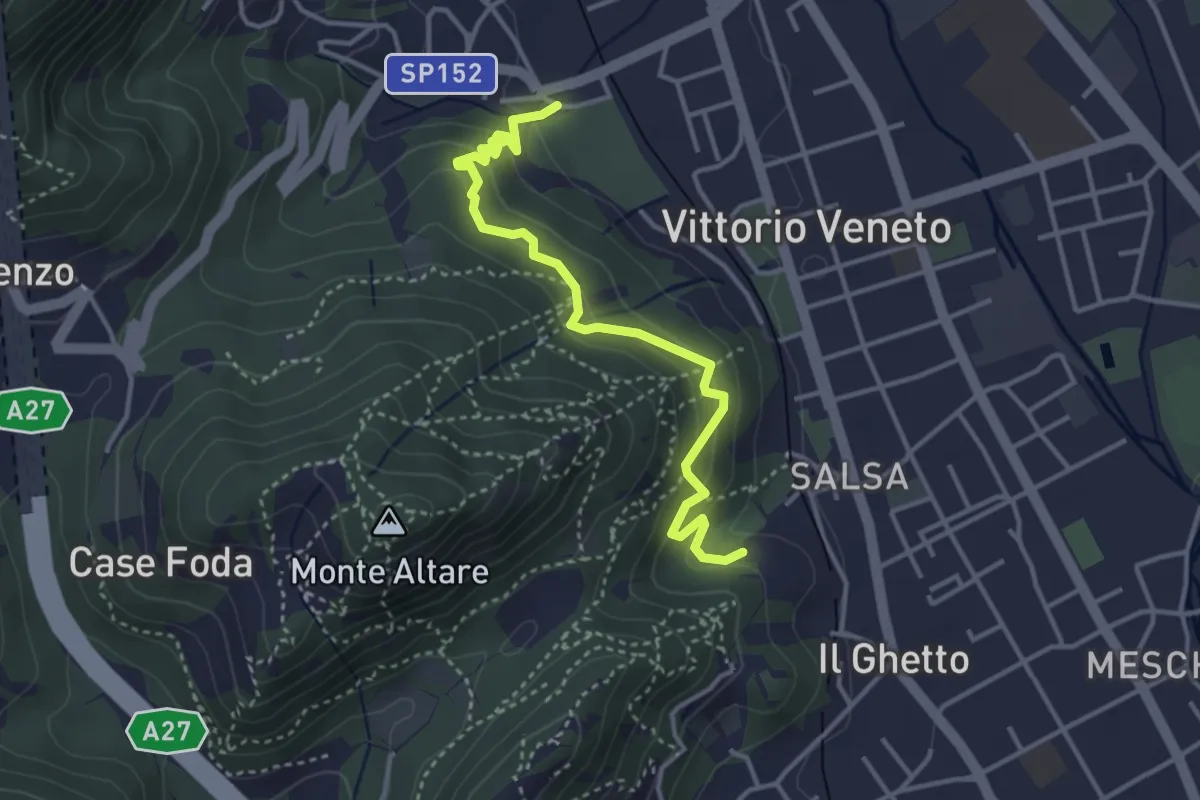
Easy · Trail
Sentiero del Monte Altare
3.8 km · ↑ 254 m · 1 h 27 min · 14 km away
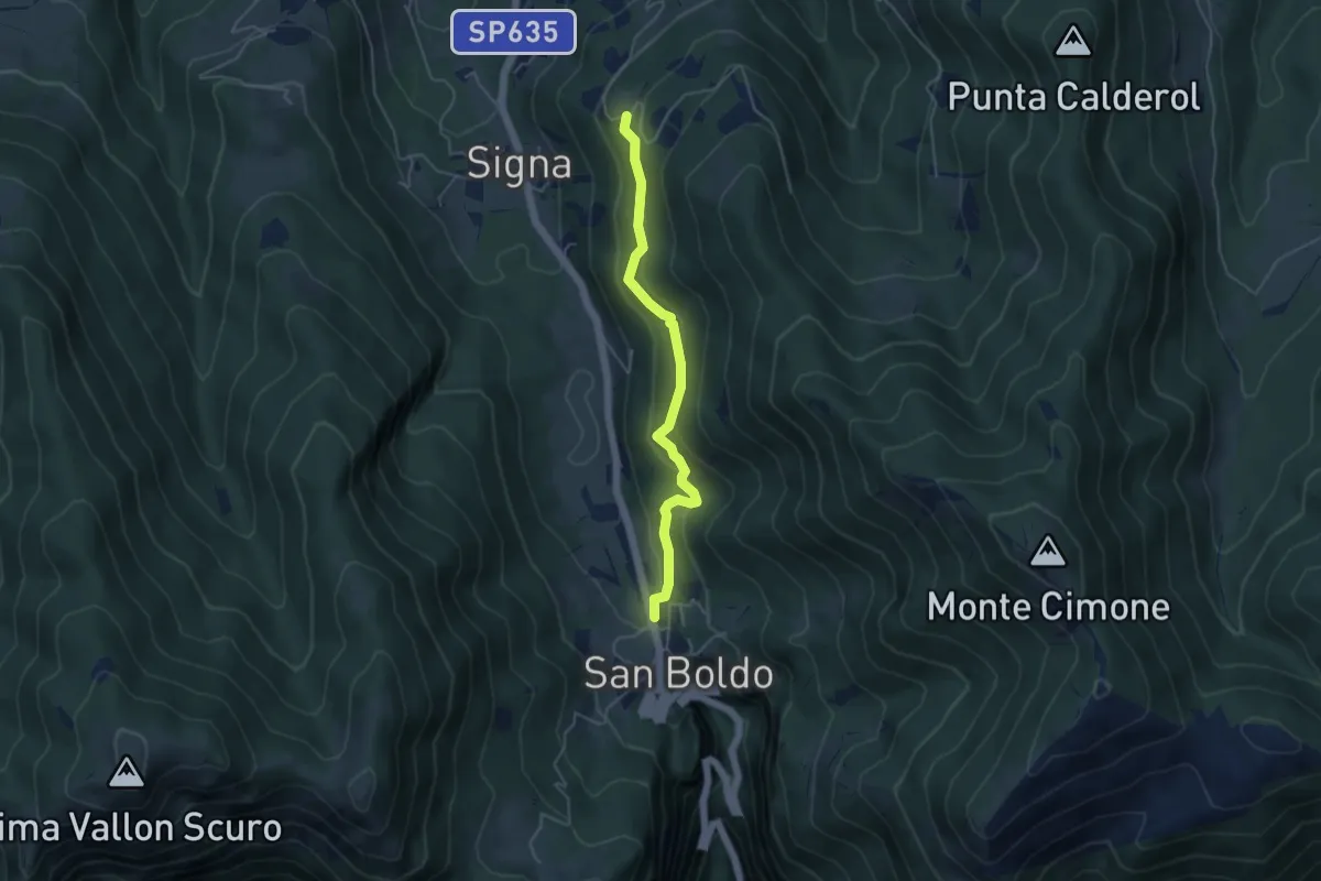
Easy · Trail
Troi de Lont
4.5 km · ↑ 230 m · 1 h 33 min · 14 km away
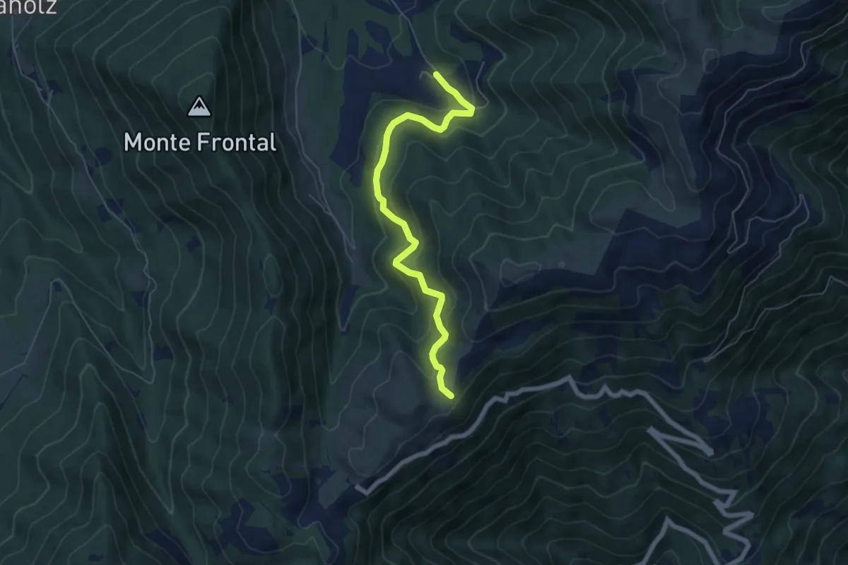
Medium · Trail
Malga Montegal – Casere Frascon
5.9 km · ↑ 352 m · 2 h 10 min · 14 km away
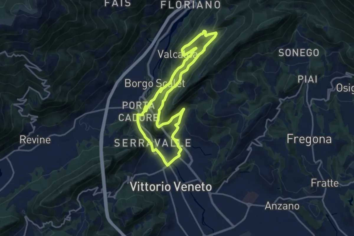
Medium · Trail
L'Anello di Santa Augusta
11.3 km · ↑ 434 m · 3 h 45 min · 14 km away