Trails near Pistoia
92 hikes starting within 15 km, nearest first.
Nearest first, page 2 of 2
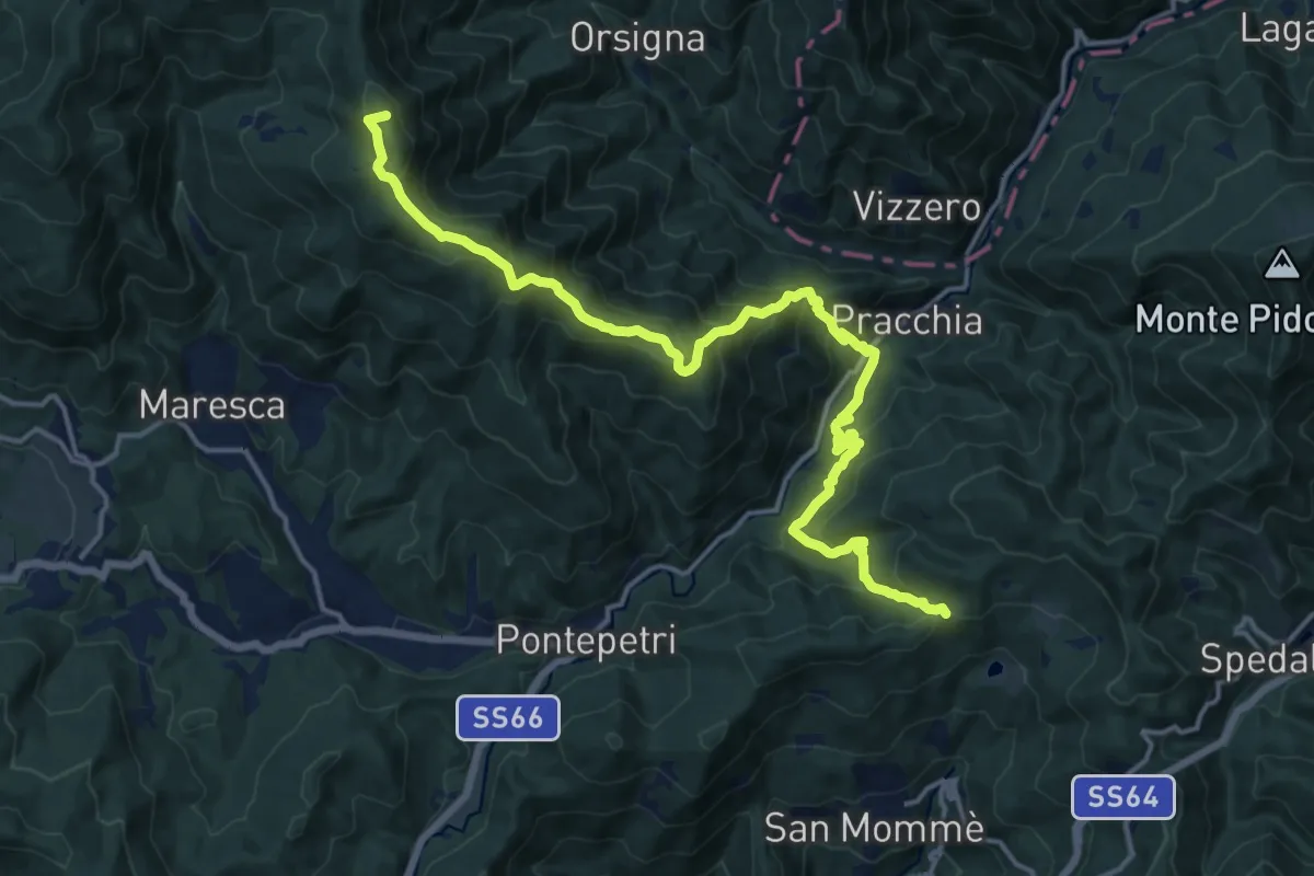
Demanding · Summit
Passo Piastreta – Rombiciaio
18.5 km · ↑ 1321 m · 7 h 13 min · 12 km away
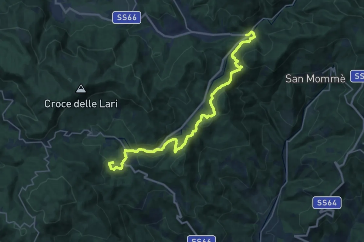
Demanding · Summit
Cammino di San Bartolomeo - TAPPA Piteglio-Prunetta-Le Piastre-Pontepetri
19.1 km · ↑ 572 m · 5 h 45 min · 12 km away
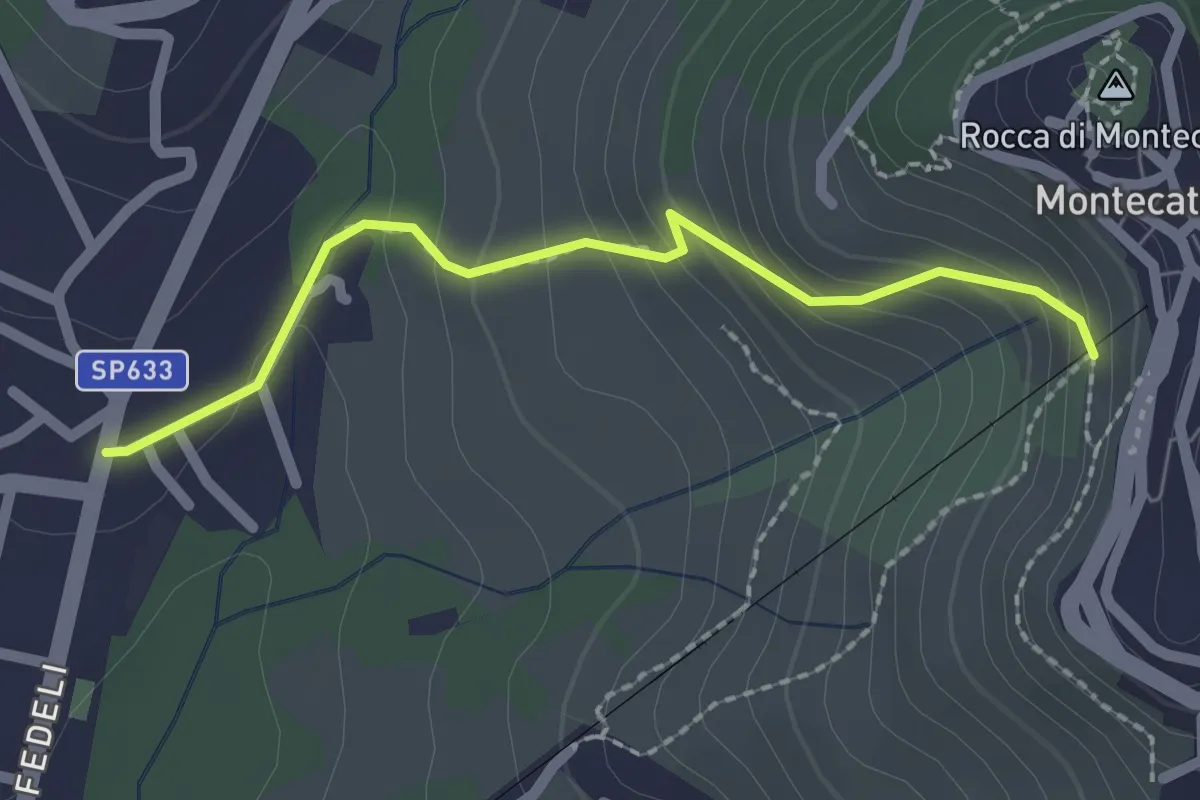
Easy · Trail
[B] Via Amore
2.1 km · ↑ 153 m · 50 min · 12 km away
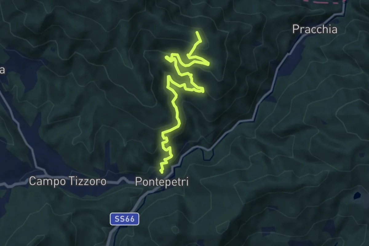
Medium · Summit
Pontepetri – Poggio del Ronco
10.8 km · ↑ 755 m · 4 h 11 min · 12 km away
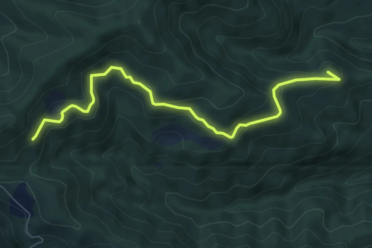
Medium · Summit
Straccalasini – Fregionaia/Le Cerchiaia
7.5 km · ↑ 379 m · 2 h 35 min · 12 km away
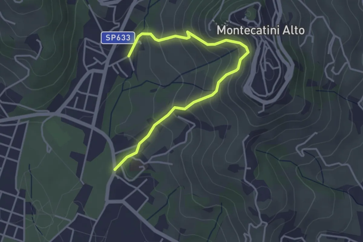
Medium · Trail
Montecatini Terme – Montecatini Terme
4.0 km · ↑ 330 m · 1 h 40 min · 12 km away
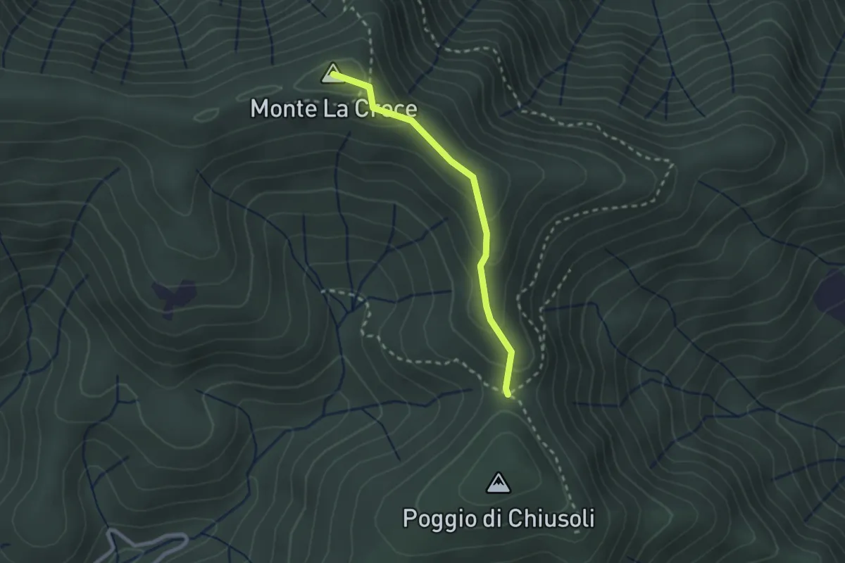
Medium · Summit
Poggio alla Forca – Sasso della Pasqua
2.2 km · ↑ 129 m · 48 min · 12 km away
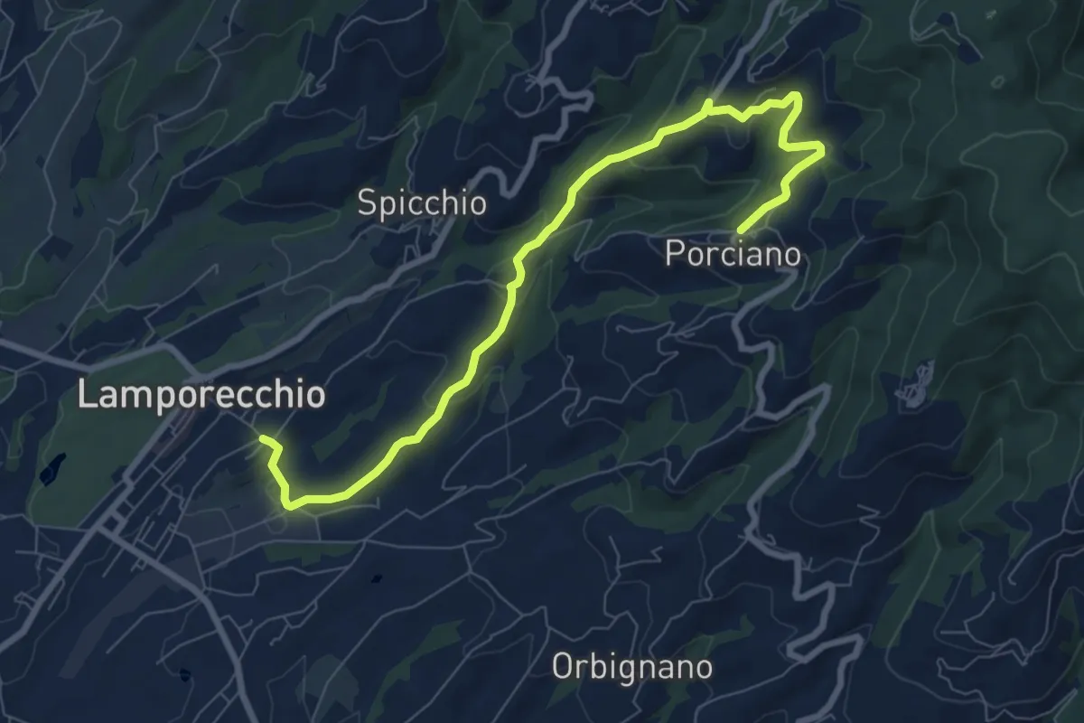
Medium · Trail
Lamporecchio – Porciano
9.1 km · ↑ 368 m · 2 h 56 min · 12 km away
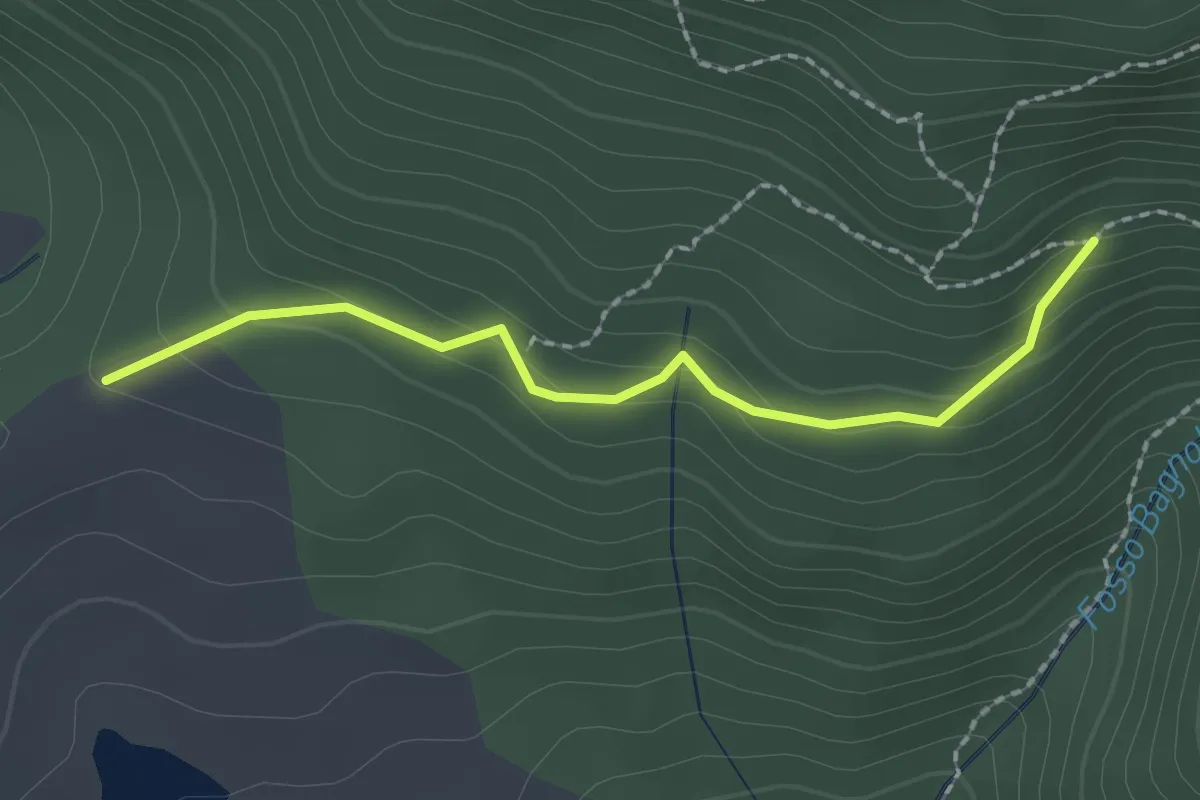
Easy · Trail
Bivio per Masso a' Corvi – Fattoria di Javello
2.1 km · ↑ 129 m · 46 min · 12 km away
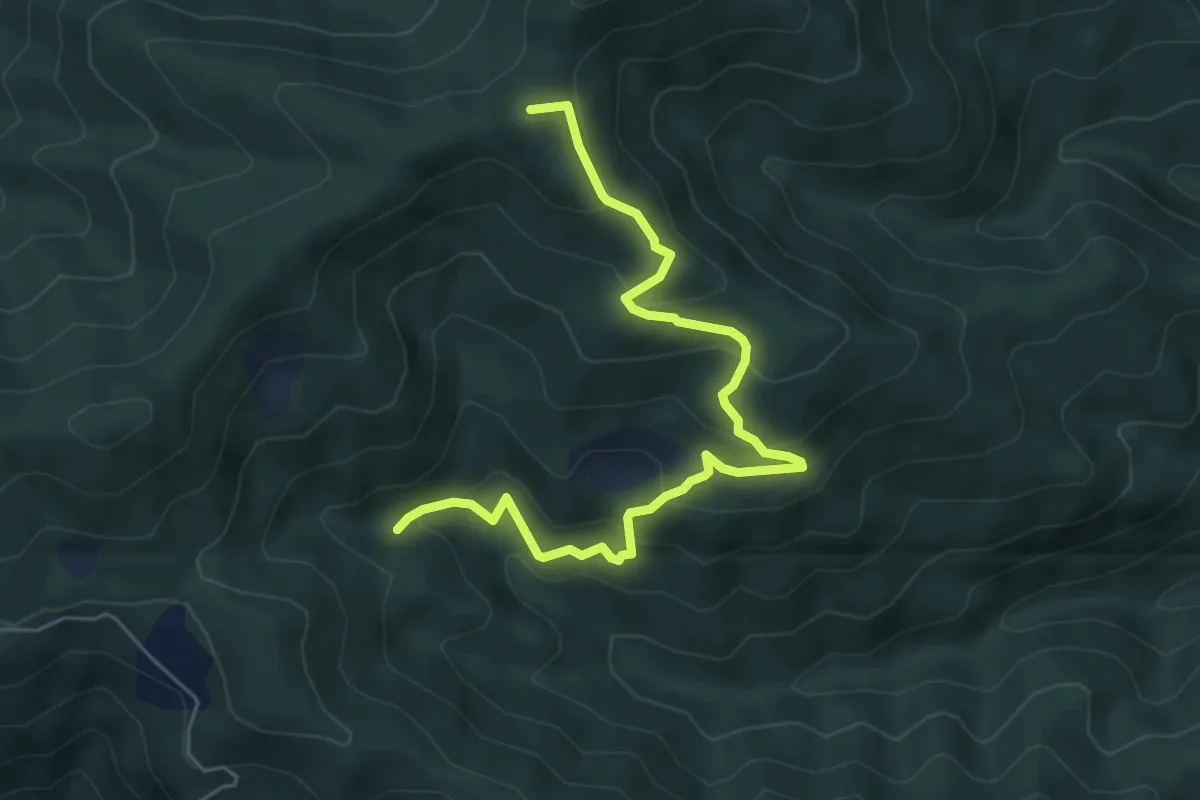
Medium · Summit
Fosso delle Barbe – Foce di Cerbiancana
6.3 km · ↑ 398 m · 2 h 21 min · 12 km away
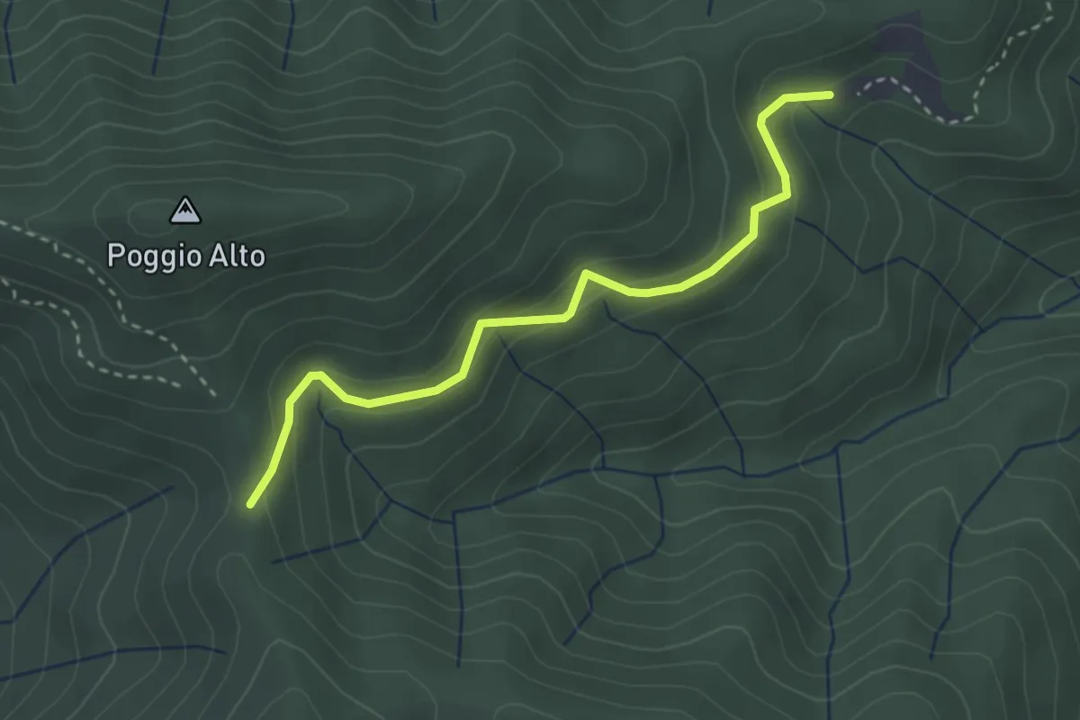
Easy · Cabin
Passo degli Acandoli – Sopra Cascina Vespaio
3.2 km · ↑ 169 m · 1 h 7 min · 13 km away
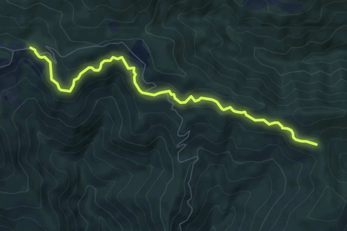
Medium · Cabin
Bivio per Passo degli Acandoli – Cascina Spedaletto
8.1 km · ↑ 445 m · 2 h 53 min · 13 km away
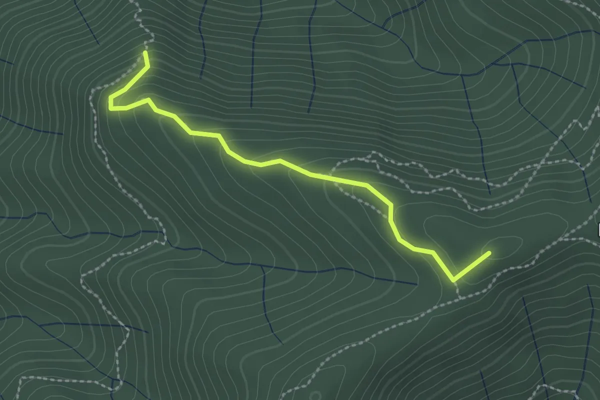
Easy · Summit
Pian Cassai – Foce dei Giganti
2.4 km · ↑ 155 m · 54 min · 13 km away
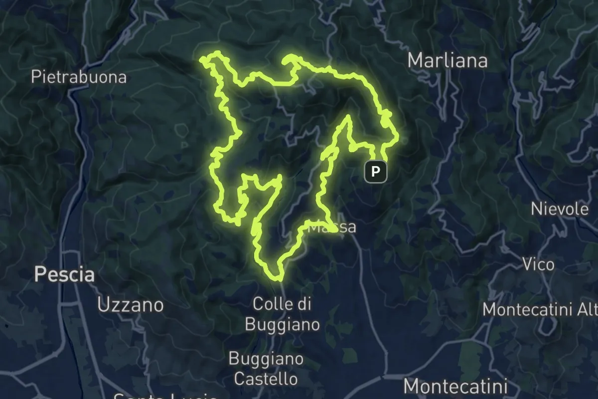
Demanding · Summit
Sentiero 9 "Colle e dintorni"
23.0 km · ↑ 1293 m · 8 h 33 min · 13 km away
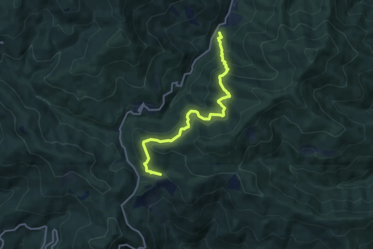
Medium · Cabin
Cascina Spedaletto – Madonna di Santo Stefano
8.9 km · ↑ 667 m · 3 h 32 min · 13 km away
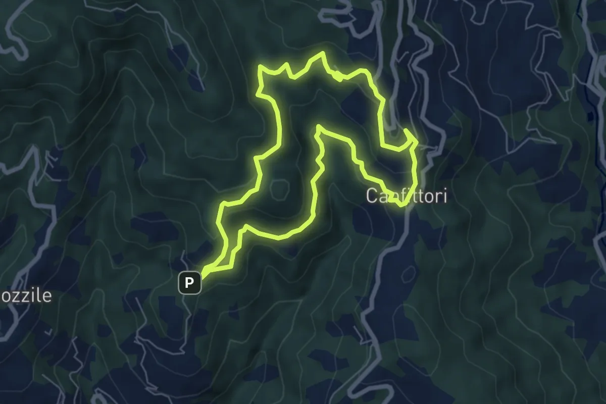
Easy · Summit
Anello Croci Marliana
6.1 km · ↑ 305 m · 2 h 11 min · 13 km away
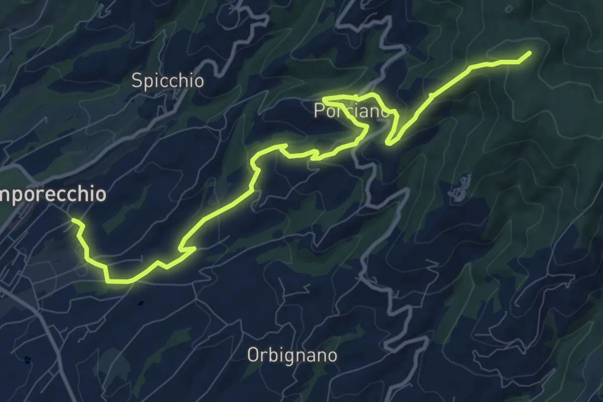
Medium · Summit
Lamporecchio – innesto sentiero 00
12.3 km · ↑ 546 m · 4 h 5 min · 13 km away
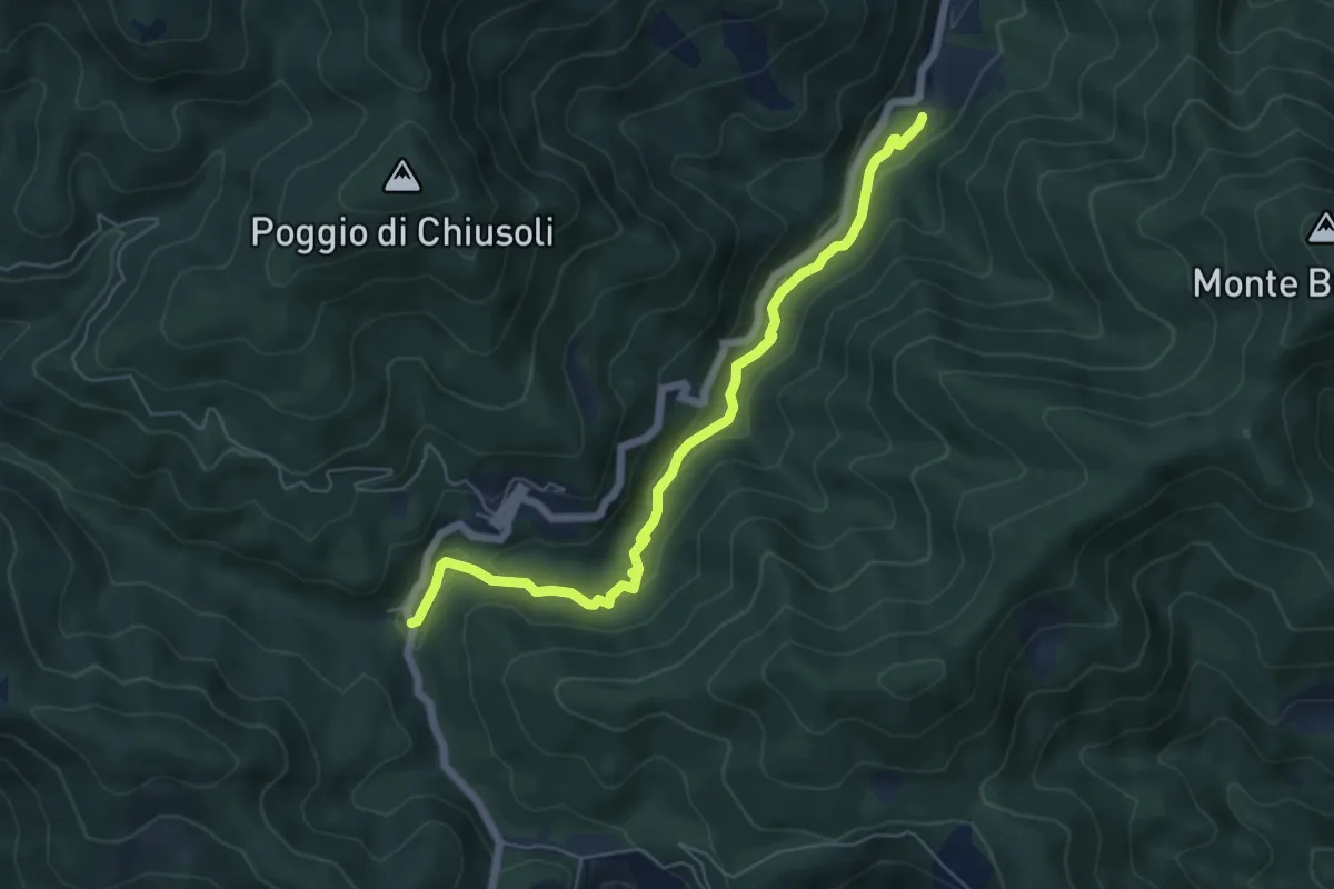
Easy · Trail
Cascina di Spedaletto – Ponte Secco al Monachino
6.2 km · ↑ 172 m · 1 h 50 min · 13 km away
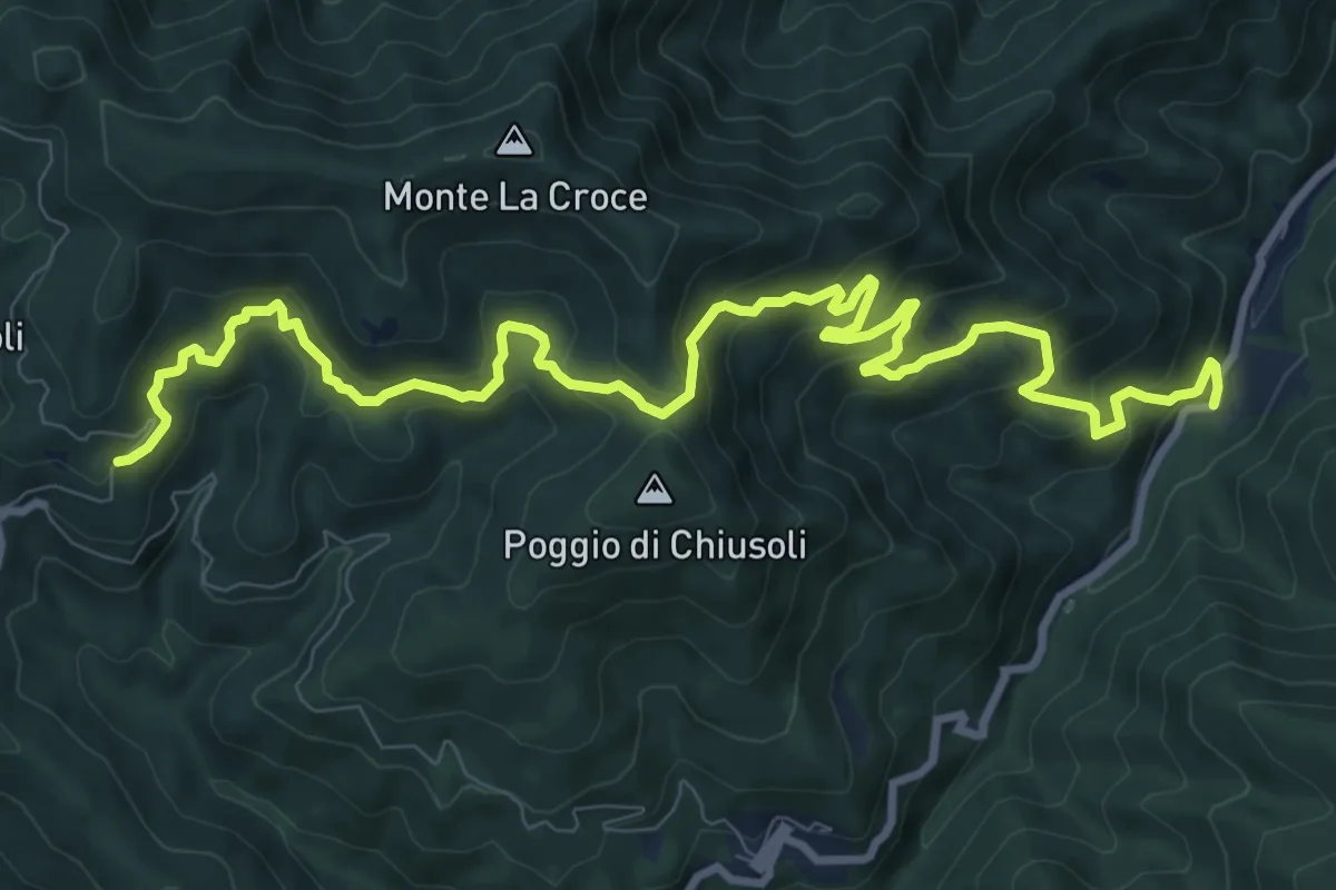
Demanding · Trail
Badia a Taona – Santo Stefano a Monachino
12.9 km · ↑ 801 m · 4 h 47 min · 13 km away
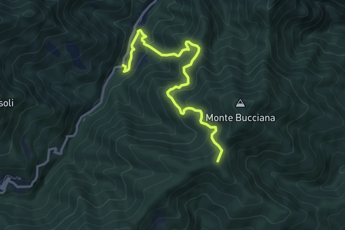
Medium · Summit
Ponticino Santo Stefano a Monachino – Foce di Cerbiancana
7.9 km · ↑ 587 m · 3 h 8 min · 13 km away
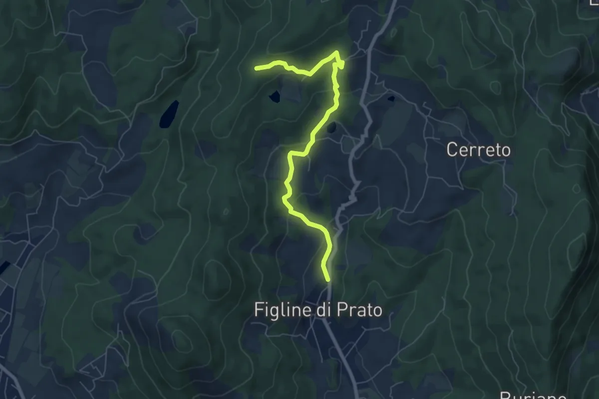
Easy · Trail
Figline (Pian di Gello) – Monte Lopi Fontanaccio
6.6 km · ↑ 295 m · 2 h 13 min · 13 km away
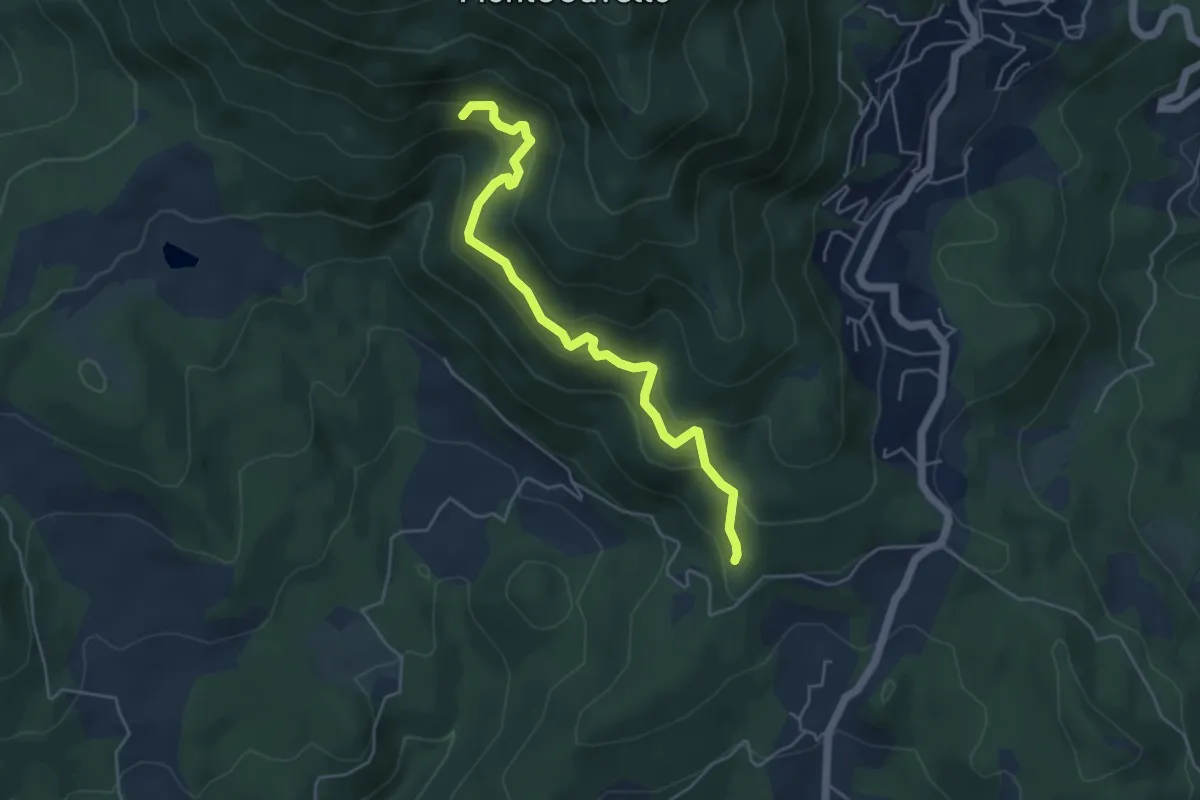
Medium · Trail
Quercia dei termini – Innesto sentiero 70
5.1 km · ↑ 376 m · 2 h 2 min · 13 km away
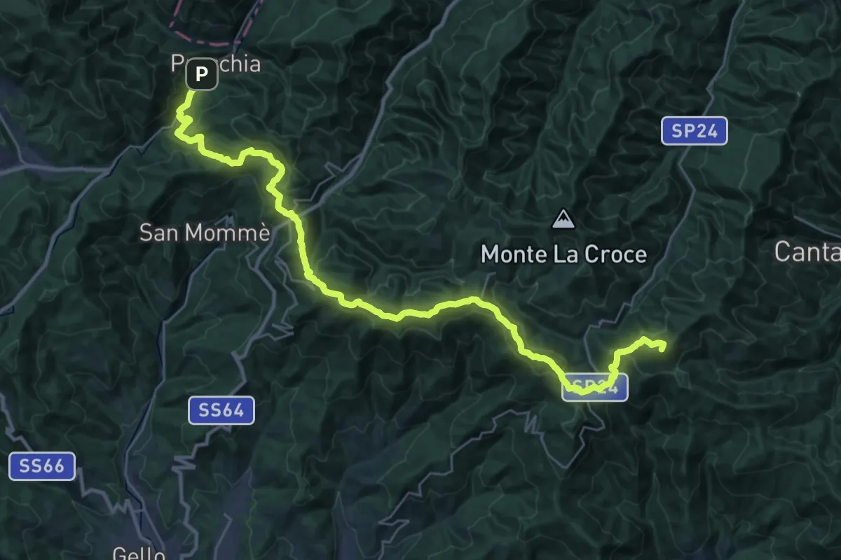
Demanding · Summit
Grande Escursione Appenninica - Tappa 12
36.6 km · ↑ 1556 m · 12 h 1 min · 14 km away
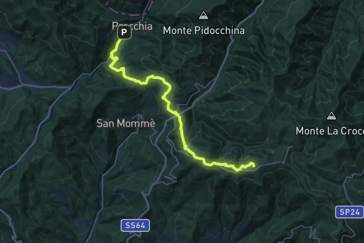
Demanding · Summit
Cascina di Spedaletto – Pracchia
22.6 km · ↑ 1024 m · 7 h 33 min · 14 km away
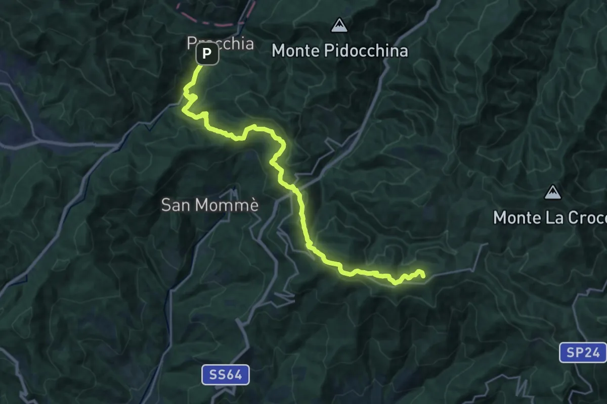
Demanding · Summit
E1 Toscana 11 Pracchia - Cascina di Spedaletto
22.6 km · ↑ 1024 m · 7 h 33 min · 14 km away
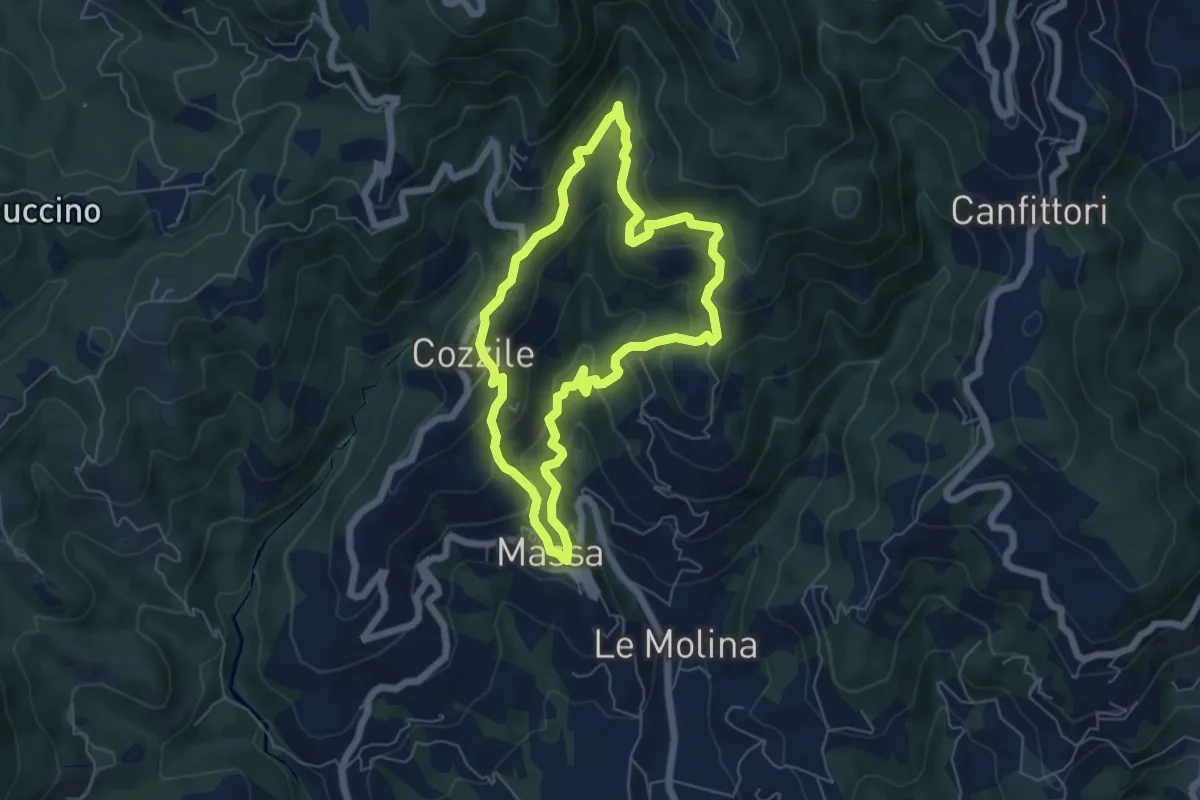
Medium · Summit
Massa – Massa
5.7 km · ↑ 383 m · 2 h 15 min · 14 km away
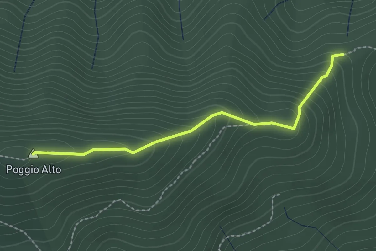
Easy · Summit
Tedesco Morto – Sopra Cascina Vespaio
2.2 km · ↑ 184 m · 54 min · 14 km away
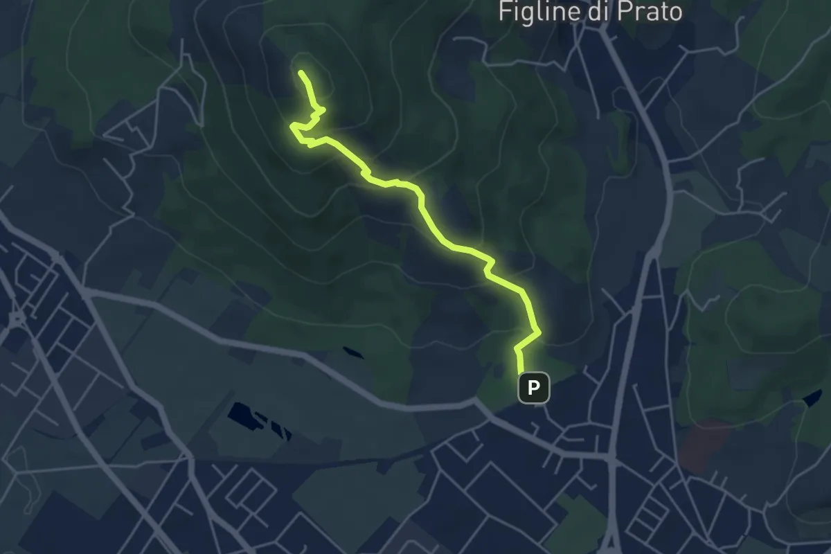
Medium · Summit
Galceti – Passo della Collina
4.4 km · ↑ 339 m · 1 h 47 min · 14 km away
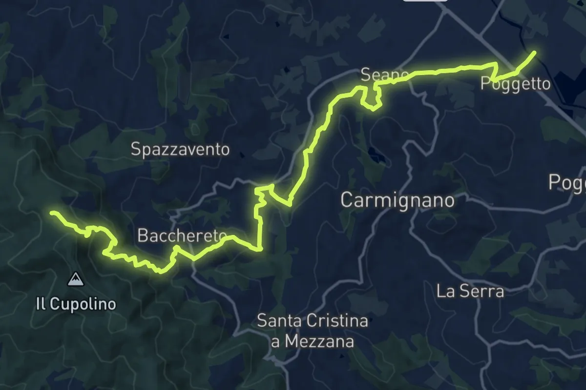
Demanding · Trail
Ponte a Tigliano – Torre Sant'Allluccio
22.0 km · ↑ 774 m · 6 h 52 min · 14 km away
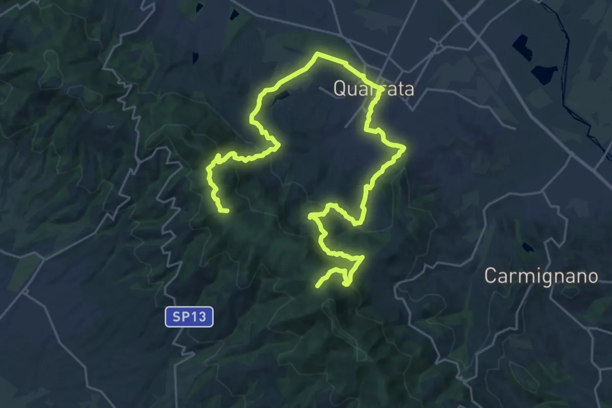
Demanding · Summit
Anello della Magia - Quarrata
32.0 km · ↑ 1351 m · 10 h 29 min · 14 km away
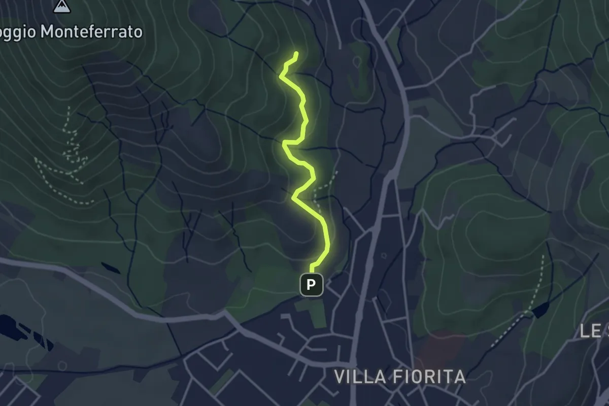
Easy · Trail
Sentiero Aurora (Piero Sambrotta)
2.7 km · ↑ 117 m · 54 min · 14 km away
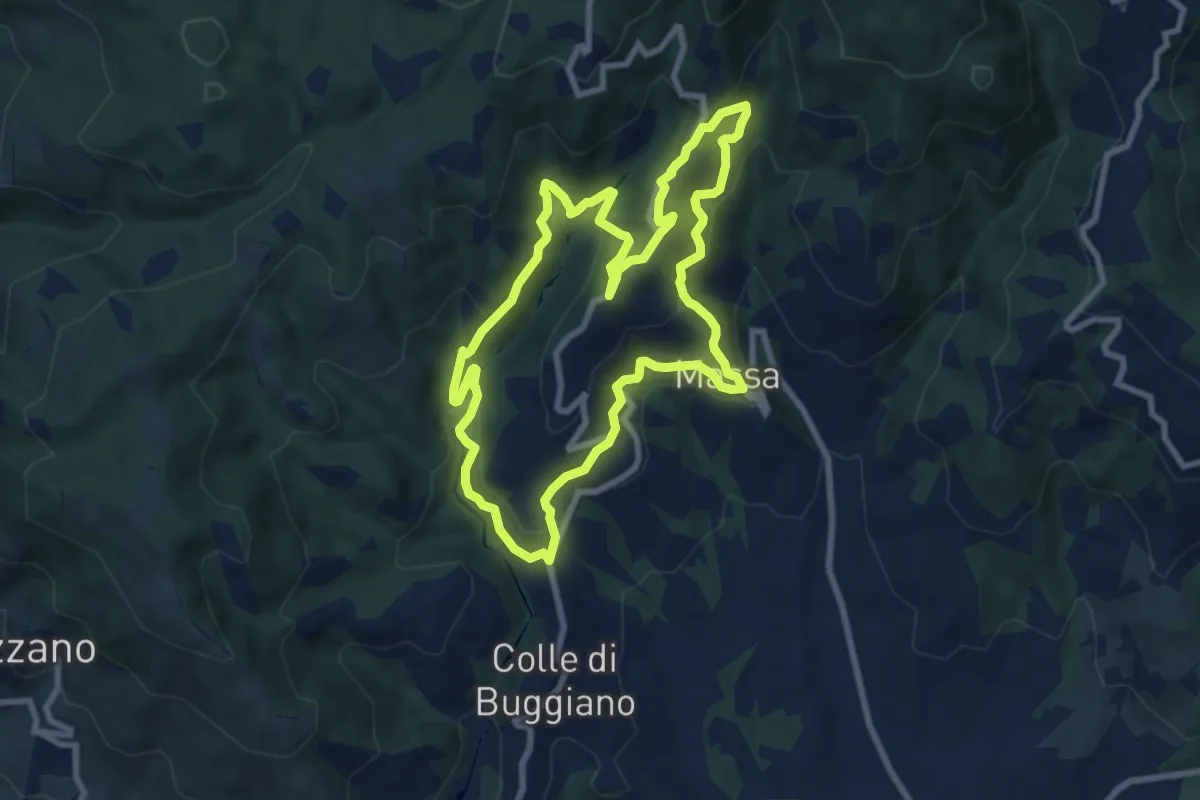
Medium · Trail
Sentiero 3 "Colle e dintorni"
8.6 km · ↑ 448 m · 3 h 8 min · 14 km away
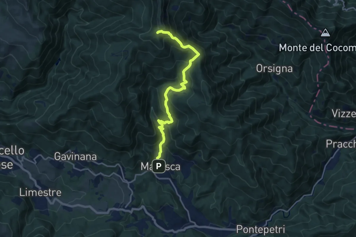
Demanding · Cabin
Maresca – Passo dei Malandrini
12.1 km · ↑ 857 m · 4 h 42 min · 14 km away
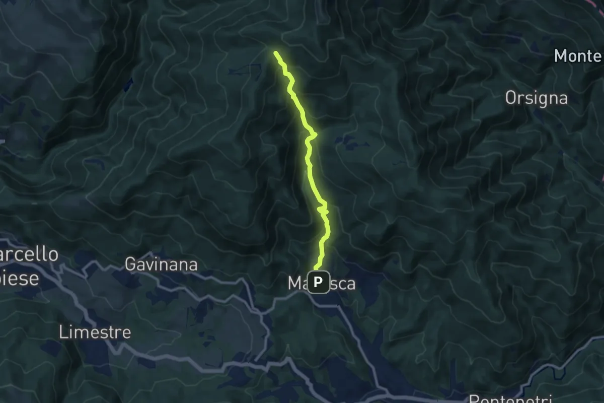
Medium · Trail
Maresca – Maceglia
7.8 km · ↑ 654 m · 3 h 16 min · 14 km away
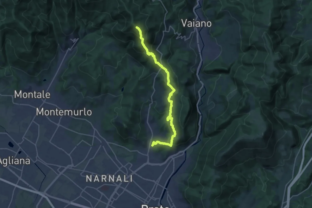
Demanding · Summit
Tramonto di un'Alba
19.9 km · ↑ 1090 m · 7 h 4 min · 14 km away
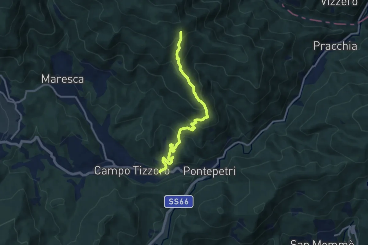
Medium · Trail
Campo Tizzoro – Fontanelle
8.5 km · ↑ 614 m · 3 h 20 min · 15 km away
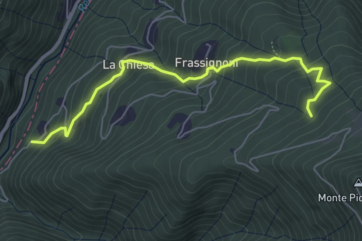
Medium · Trail
Frassignoni Bambocchia (Perc. 169) – Il Poggiaccio (Percorso 163)
5.4 km · ↑ 447 m · 2 h 14 min · 15 km away
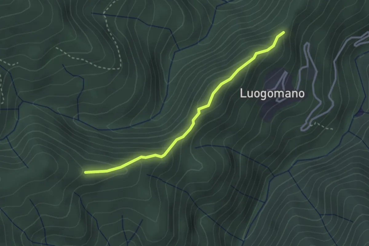
Easy · Trail
Luogomano – Il Cerro
2.9 km · ↑ 197 m · 1 h 6 min · 15 km away
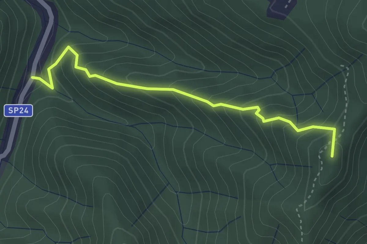
Medium · Summit
Monachino – Passo del Treppio
3.4 km · ↑ 336 m · 1 h 32 min · 15 km away
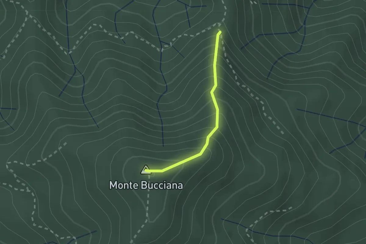
Demanding · Summit
foce di Cerbiancana – Le Cerchiaia/Fregionaia
1.5 km · ↑ 251 m · 54 min · 15 km away
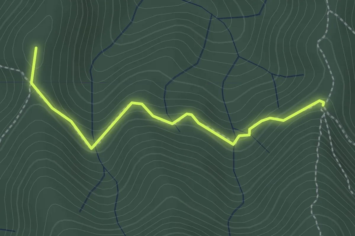
Medium · Summit
Sella della Scavata – Fregionaia
2.3 km · ↑ 98 m · 45 min · 15 km away
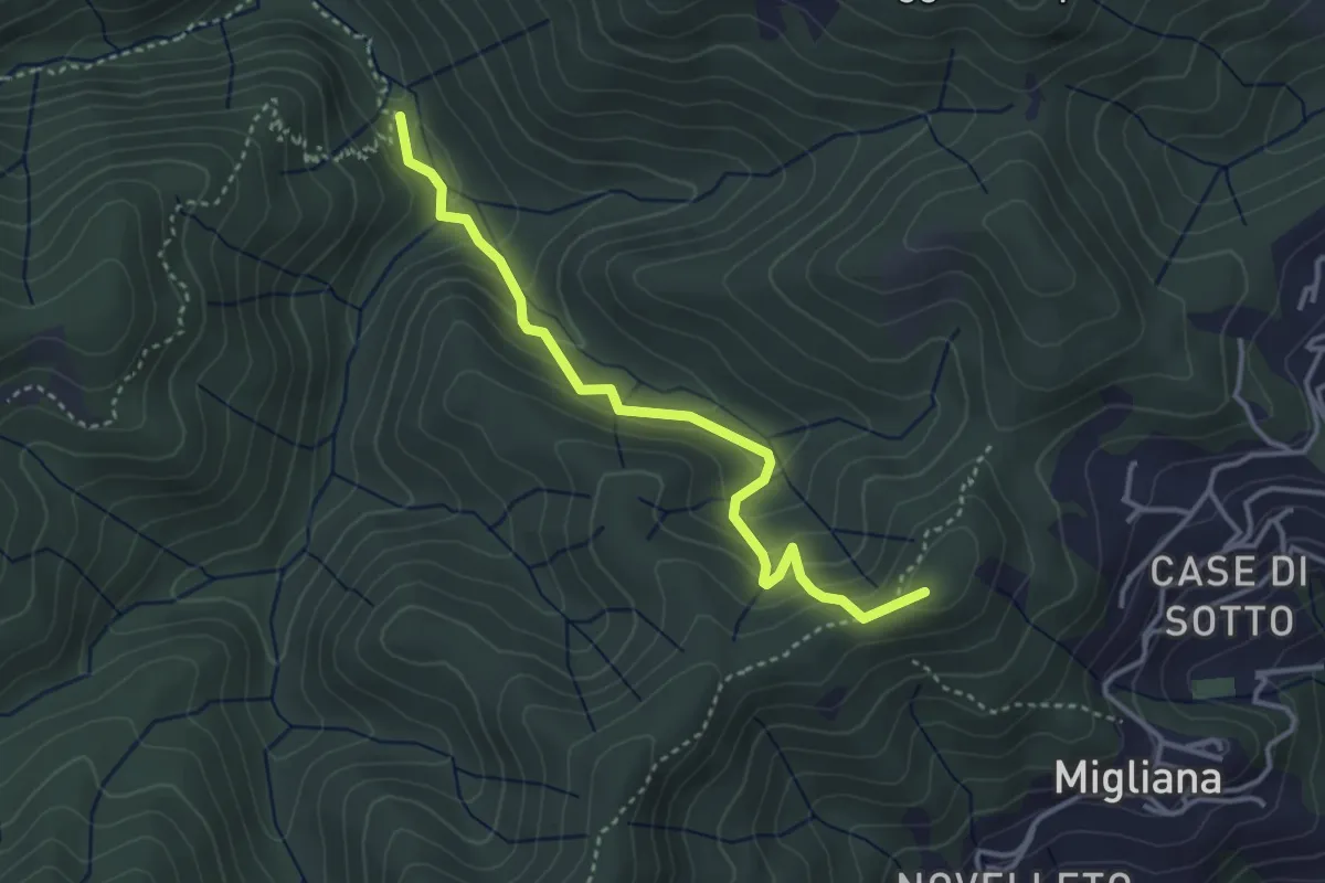
Medium · Summit
Migliana – Campi bassi Vespaio
3.6 km · ↑ 285 m · 1 h 29 min · 15 km away
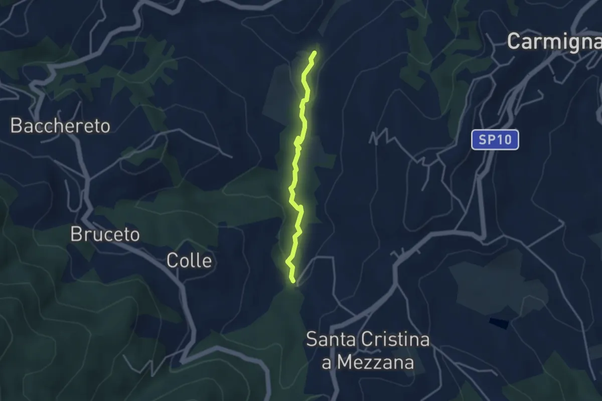
Easy · Trail
Fontanaccio – Il Mulino
2.9 km · ↑ 63 m · 50 min · 15 km away
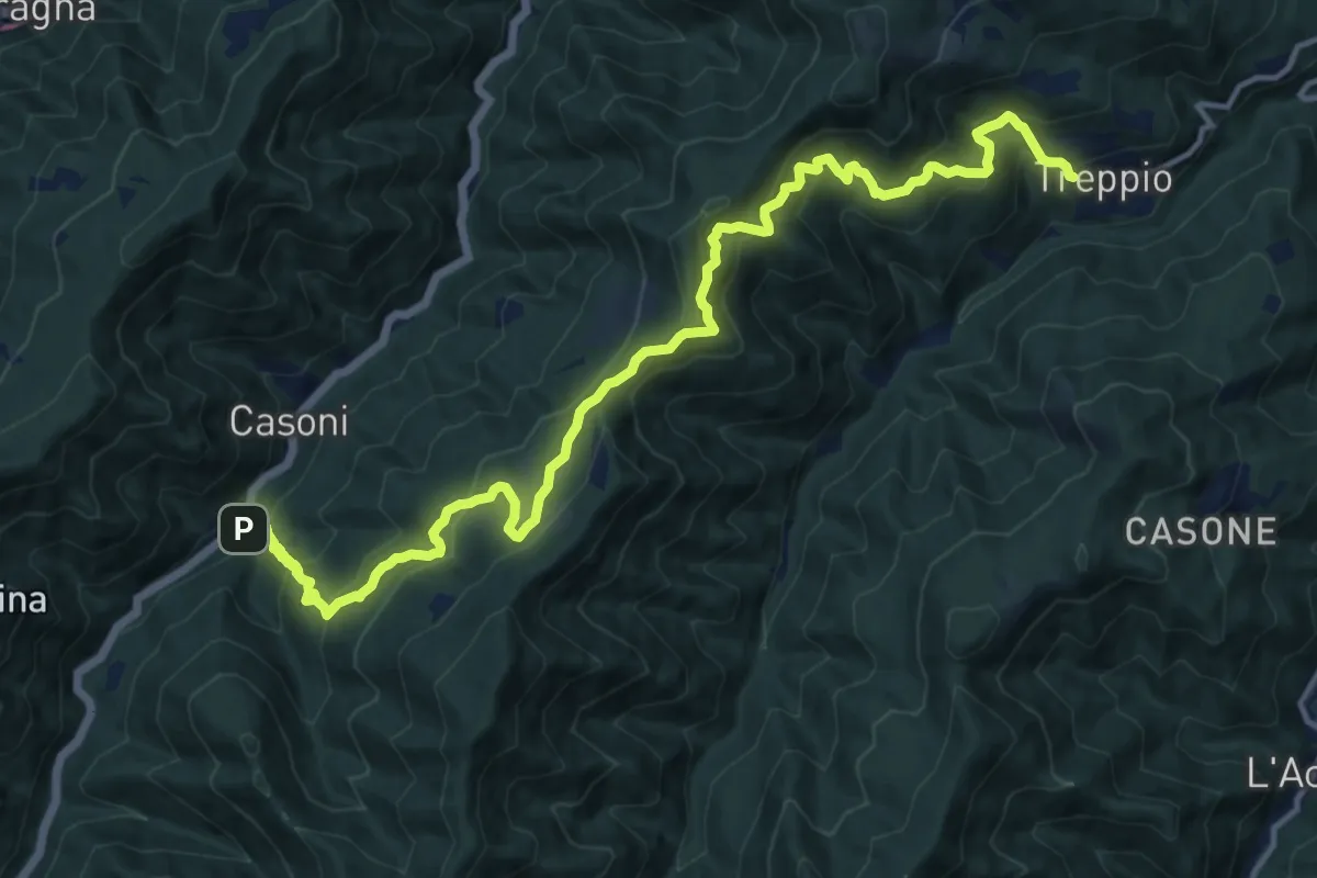
Demanding · Trail
San Pellegrino – Treppio
17.3 km · ↑ 1294 m · 6 h 53 min · 15 km away