Trails near Poggio a Caiano
86 hikes starting within 15 km, nearest first.
Nearest first, page 2 of 2
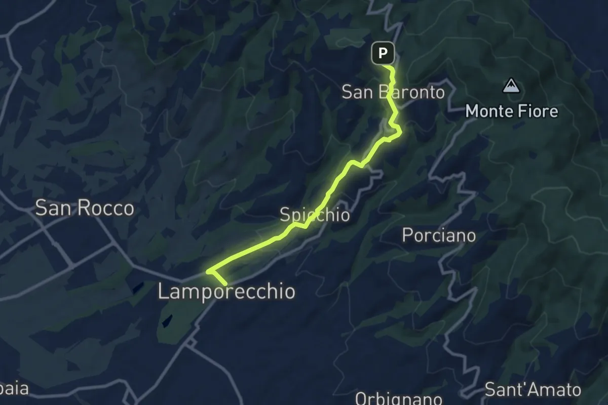
Medium · Trail
Lamporecchio – innesto sentiero 800
8.3 km · ↑ 305 m · 2 h 37 min · 11 km away
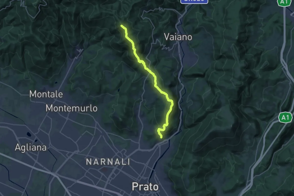
Demanding · Summit
sentiero Malaparte – Passo degli Acquiputoli
20.7 km · ↑ 1059 m · 7 h 11 min · 11 km away
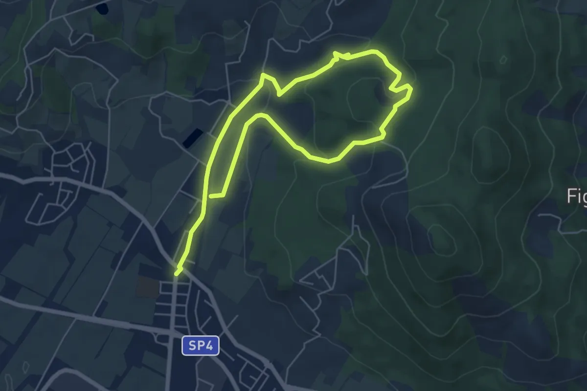
Easy · Trail
Cammino dell'Acqua - Torrente Bagnolo
4.6 km · ↑ 151 m · 1 h 29 min · 11 km away
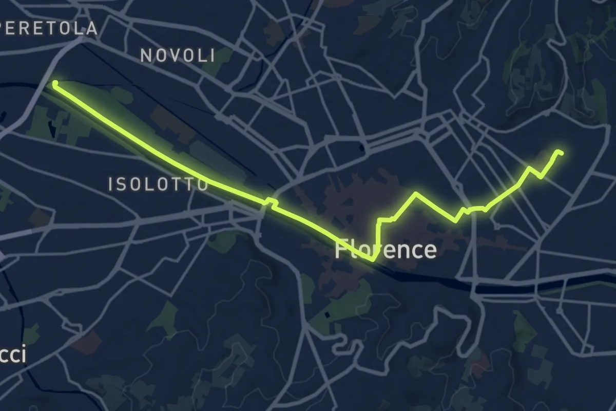
Demanding · Trail
Tappa 6 - Attraverso Firenze
18.6 km · ↑ 58 m · 4 h 31 min · 12 km away
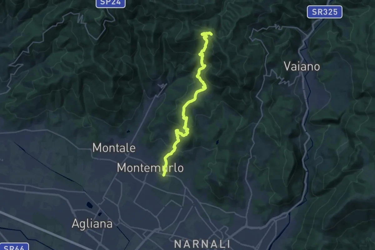
Demanding · Trail
Montemurlo (PO) – Le Cavallaie (PO)
20.8 km · ↑ 1015 m · 7 h 7 min · 12 km away
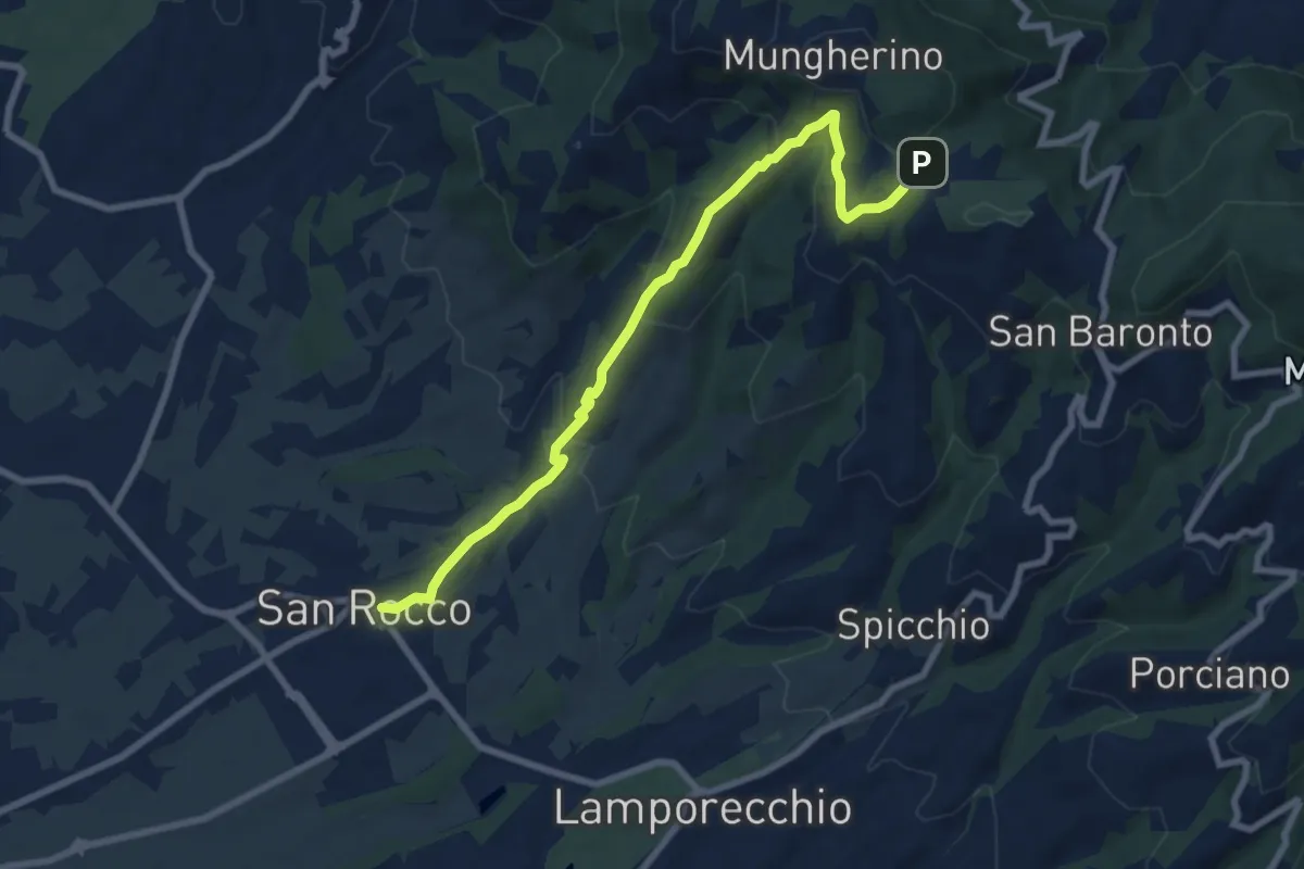
Medium · Trail
Larciano – innesto sentiero 800
8.6 km · ↑ 390 m · 2 h 53 min · 12 km away
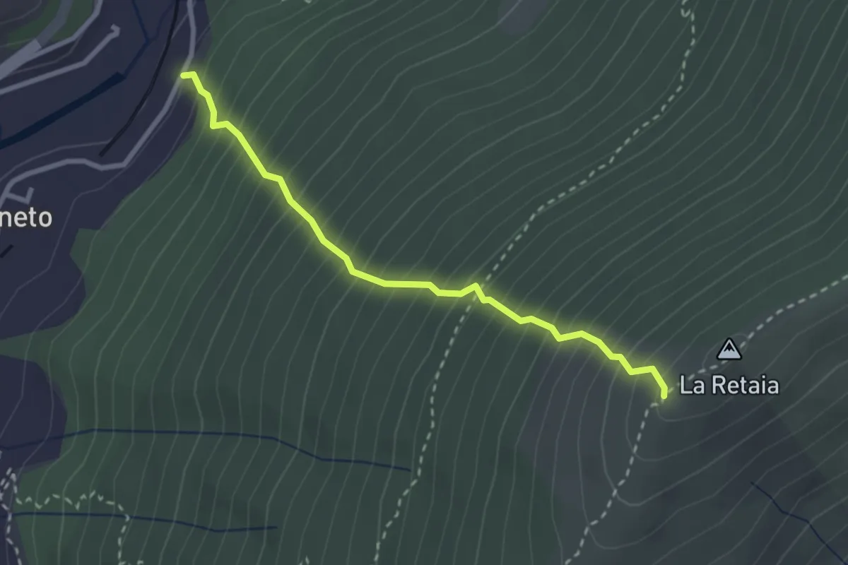
Medium · Trail
La Ovest Retaia
2.8 km · ↑ 628 m · 2 h 1 min · 12 km away
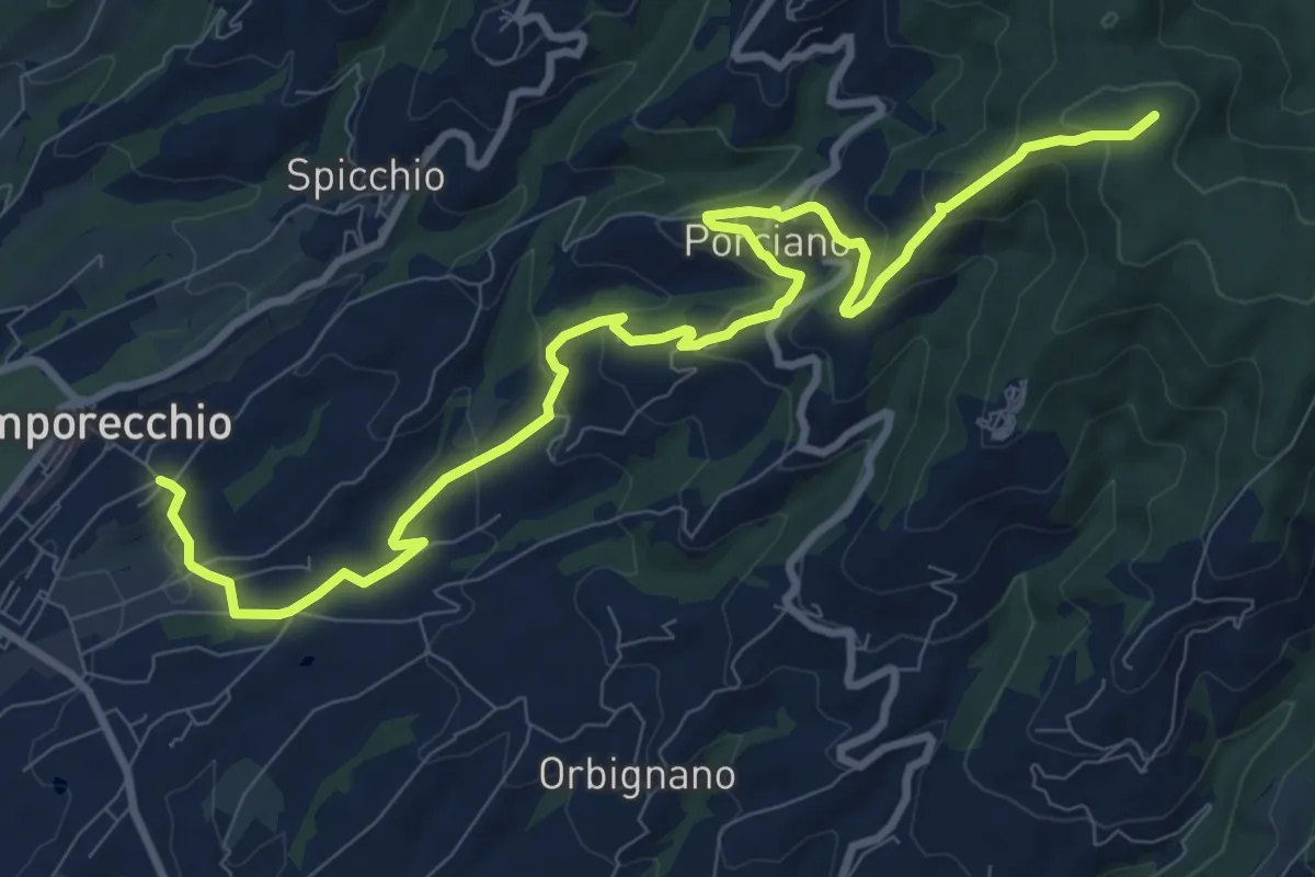
Medium · Summit
Lamporecchio – innesto sentiero 00
12.3 km · ↑ 546 m · 4 h 5 min · 12 km away
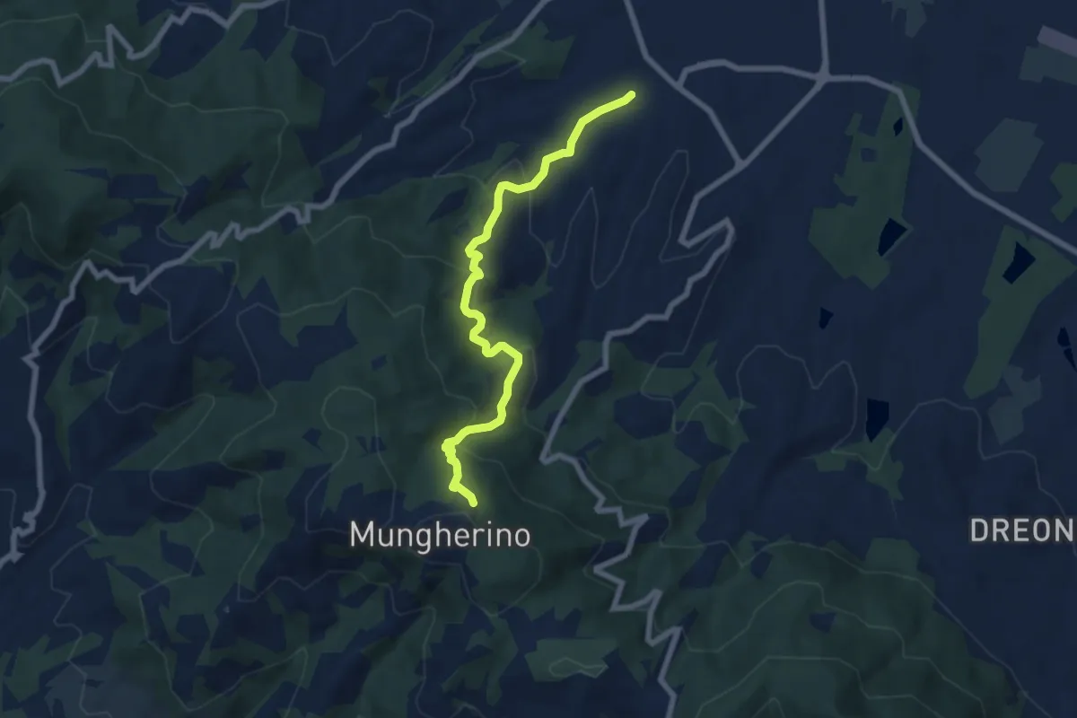
Medium · Trail
Casalguidi – innesto sentiero 800
7.1 km · ↑ 422 m · 2 h 36 min · 12 km away
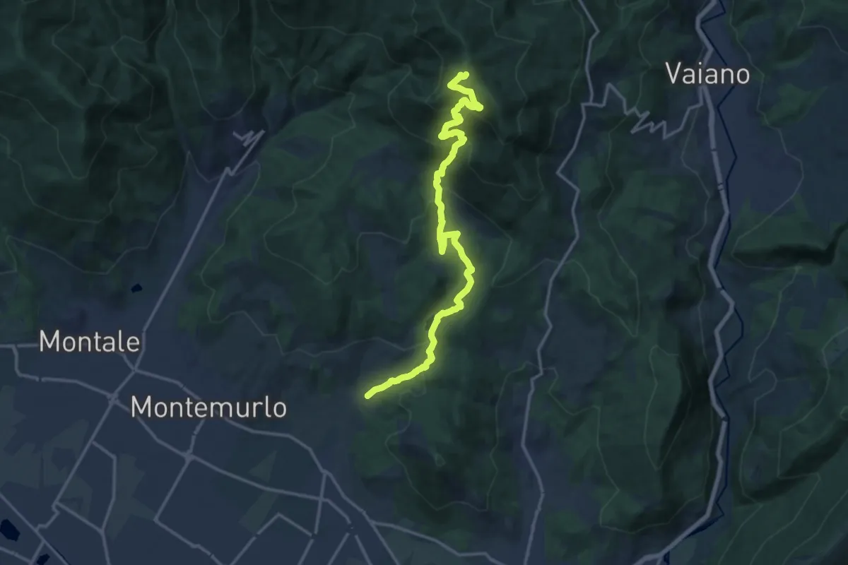
Demanding · Trail
Cascata Bagnolo – Monte Faggi di Javello
16.1 km · ↑ 1029 m · 6 h 2 min · 13 km away
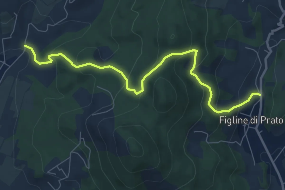
Medium · Trail
Bagnolo di Sopra – Figline Pian di Gello
7.2 km · ↑ 437 m · 2 h 38 min · 13 km away
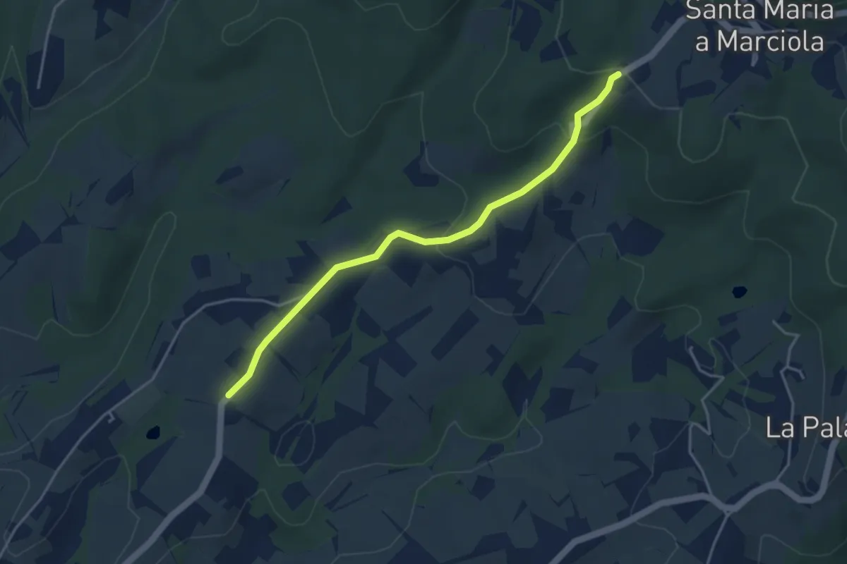
Easy · Trail
Bivio Azienda agricola Brunelli, innesto CAI 740 – Località San Niccolò a Torri, innesto CAI 731
4.2 km · ↑ 129 m · 1 h 16 min · 13 km away
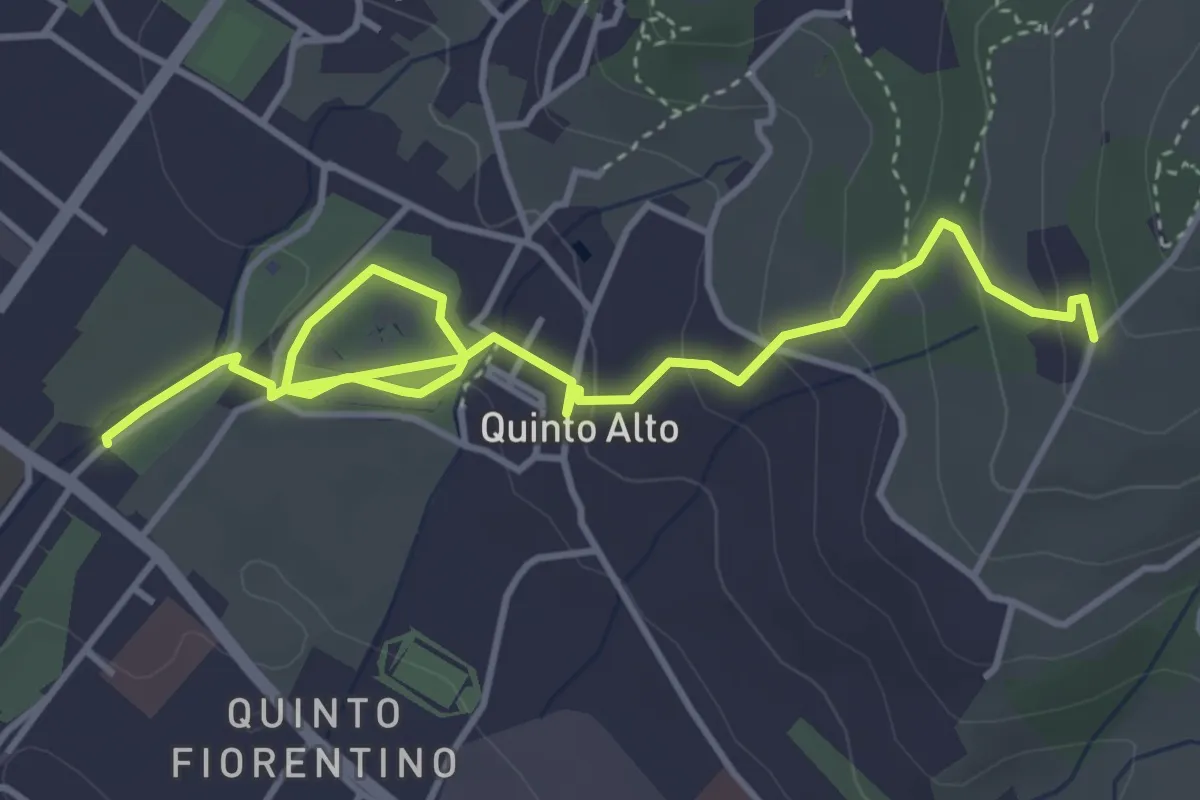
Easy · Trail
Parcheggio via Gramsci – Sentiero 4 (quota 250 m)
5.4 km · ↑ 182 m · 1 h 41 min · 13 km away
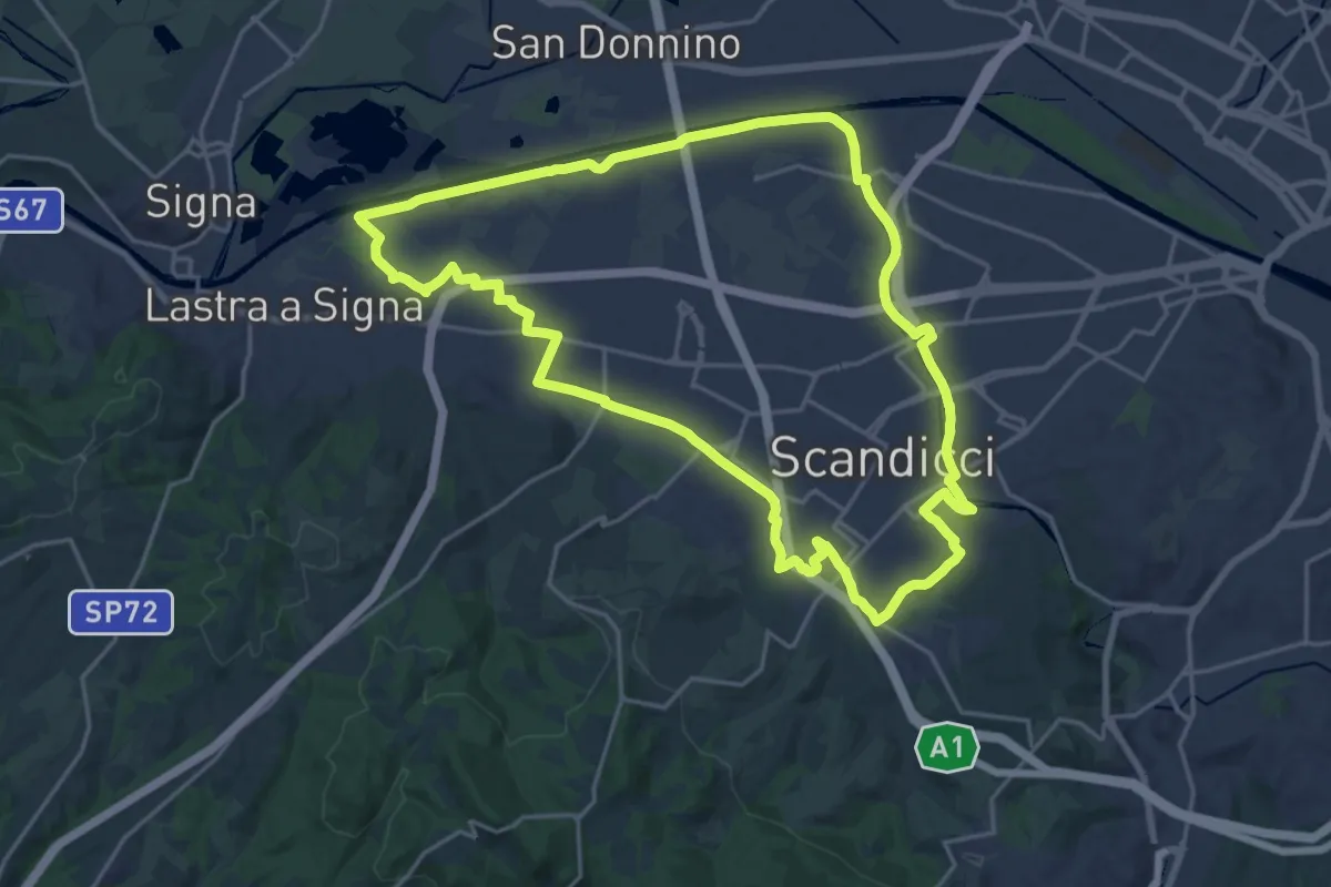
Demanding · Trail
La via dei tre fiumi
22.0 km · ↑ 70 m · 5 h 39 min · 13 km away
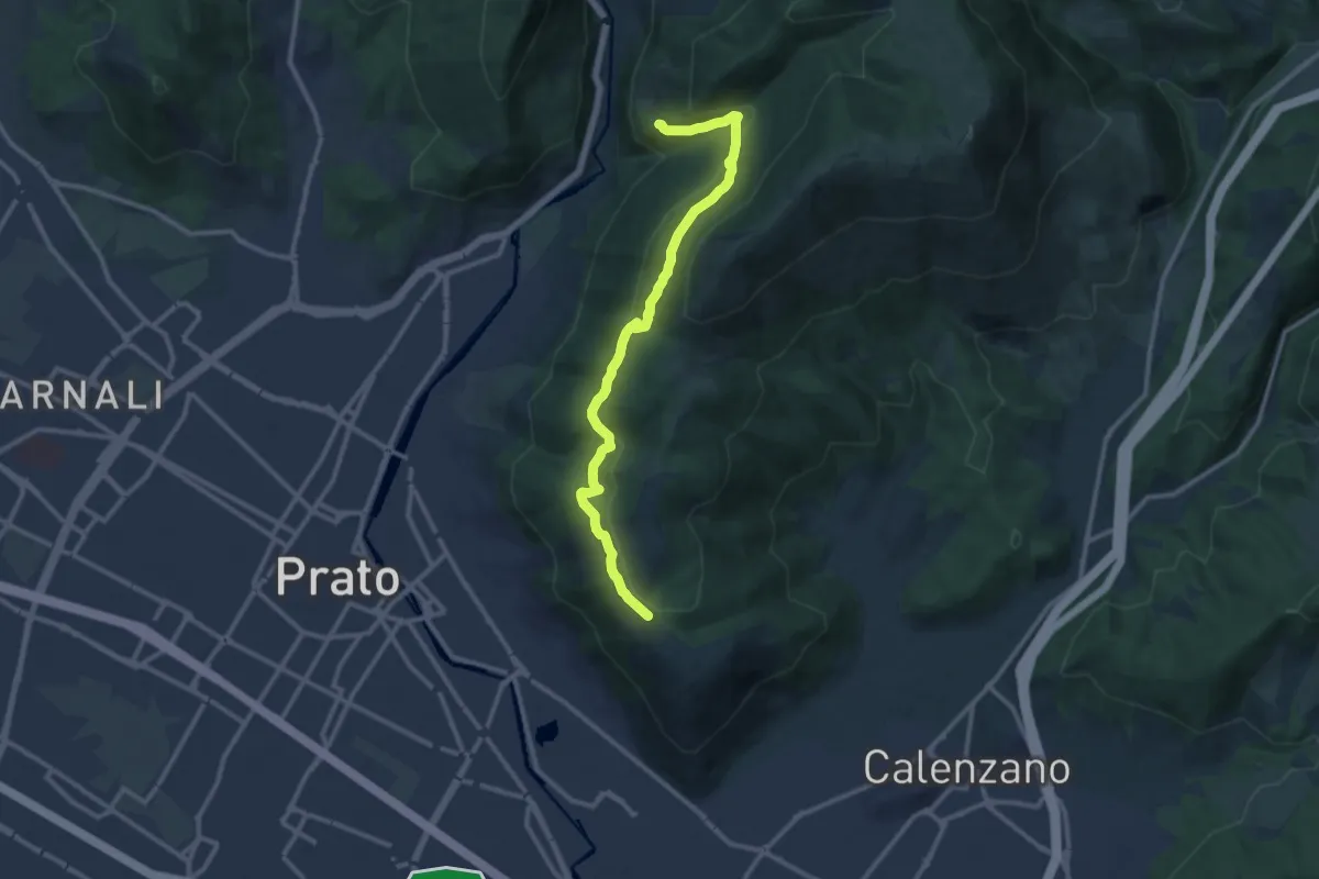
Medium · Trail
San Leonardo – Fosso della Valluccia
12.8 km · ↑ 519 m · 4 h 8 min · 13 km away
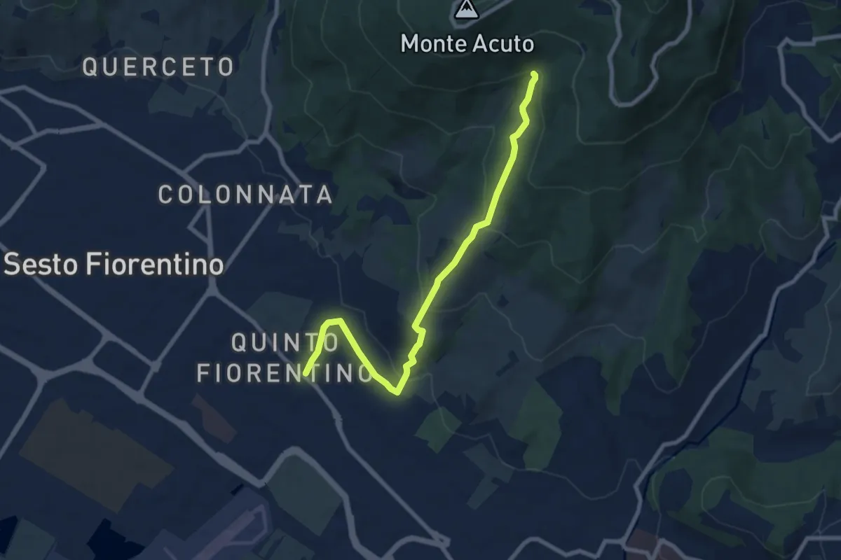
Medium · Trail
Parcheggio campo Atletica (m. 60) – Ponte Spartimoglie (m. 380 - sent. 3)
8.1 km · ↑ 355 m · 2 h 41 min · 13 km away
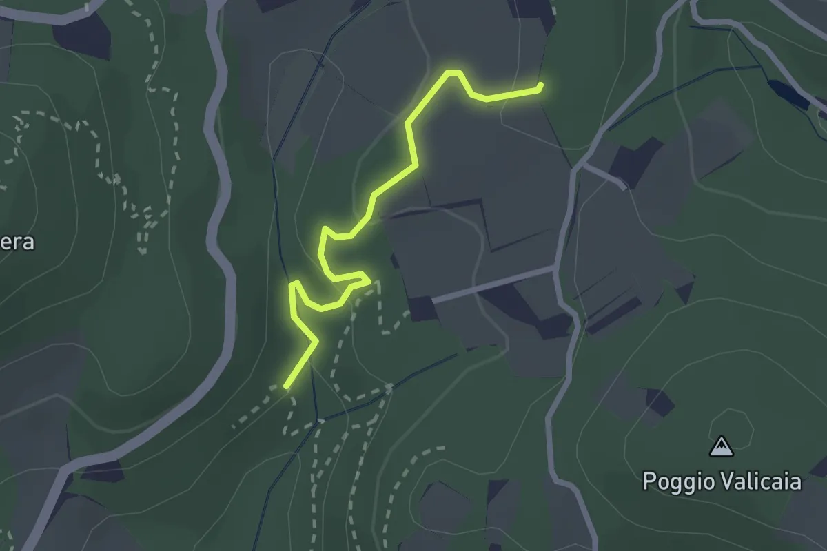
Easy · Trail
Sentiero 730 (Spazzavento) – Sentiero 732 (Lago delle Ninfee)
2.3 km · ↑ 59 m · 40 min · 13 km away
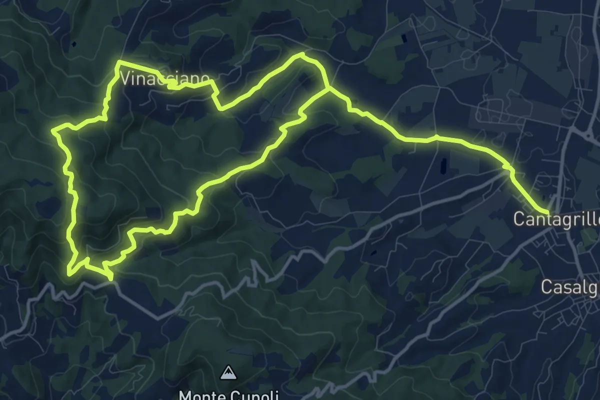
Medium · Trail
Cantagrillo – Cantagrillo
11.5 km · ↑ 463 m · 3 h 52 min · 13 km away
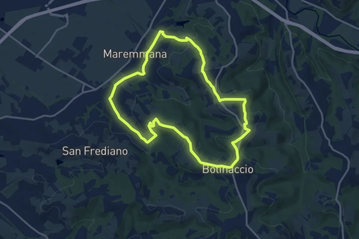
Medium · Trail
Sammontana (Chiesa di Santa Maria) – Sammontana (Chiesa di Santa Maria)
9.4 km · ↑ 203 m · 2 h 47 min · 13 km away
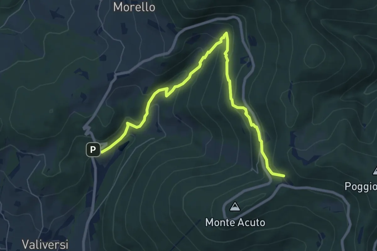
Medium · Trail
Via del Polverificio – Fonte dei Seppi
7.9 km · ↑ 454 m · 2 h 51 min · 14 km away
Easy · Trail
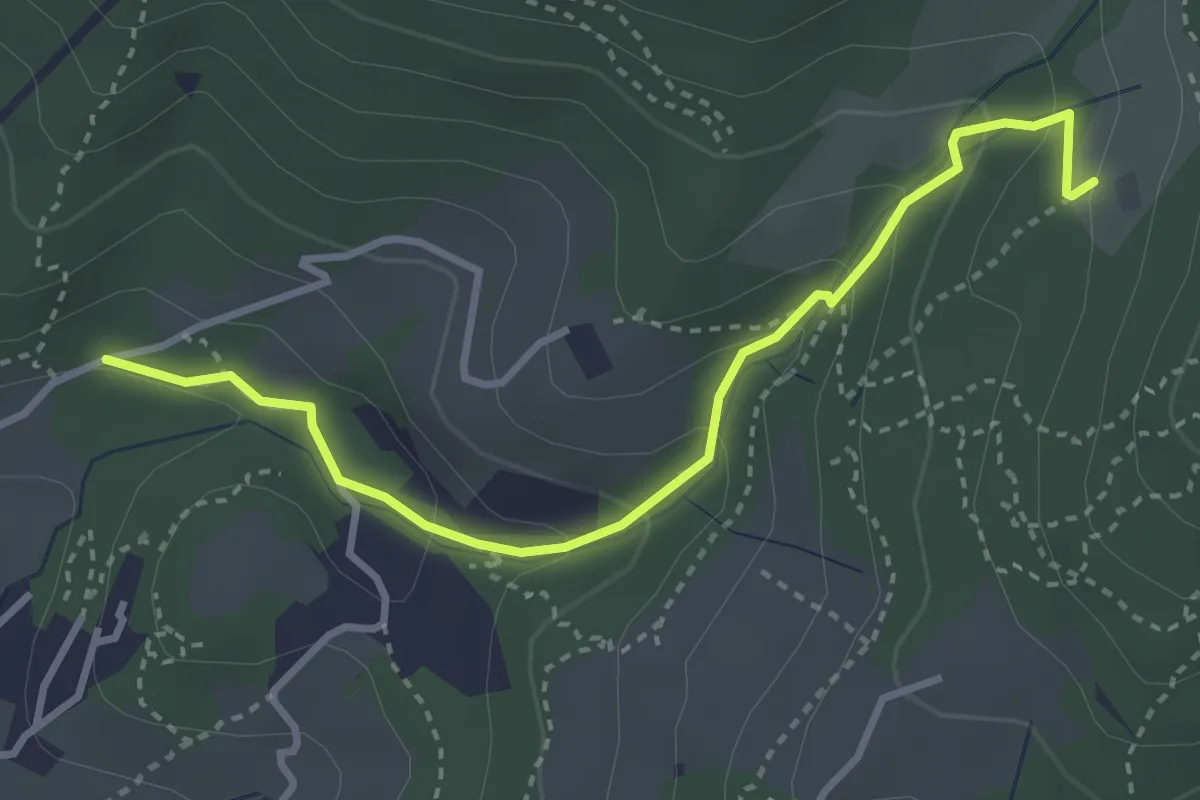
Colonnata – Carmignanello
3.6 km · ↑ 202 m · 1 h 18 min · 14 km away
Easy · Trail
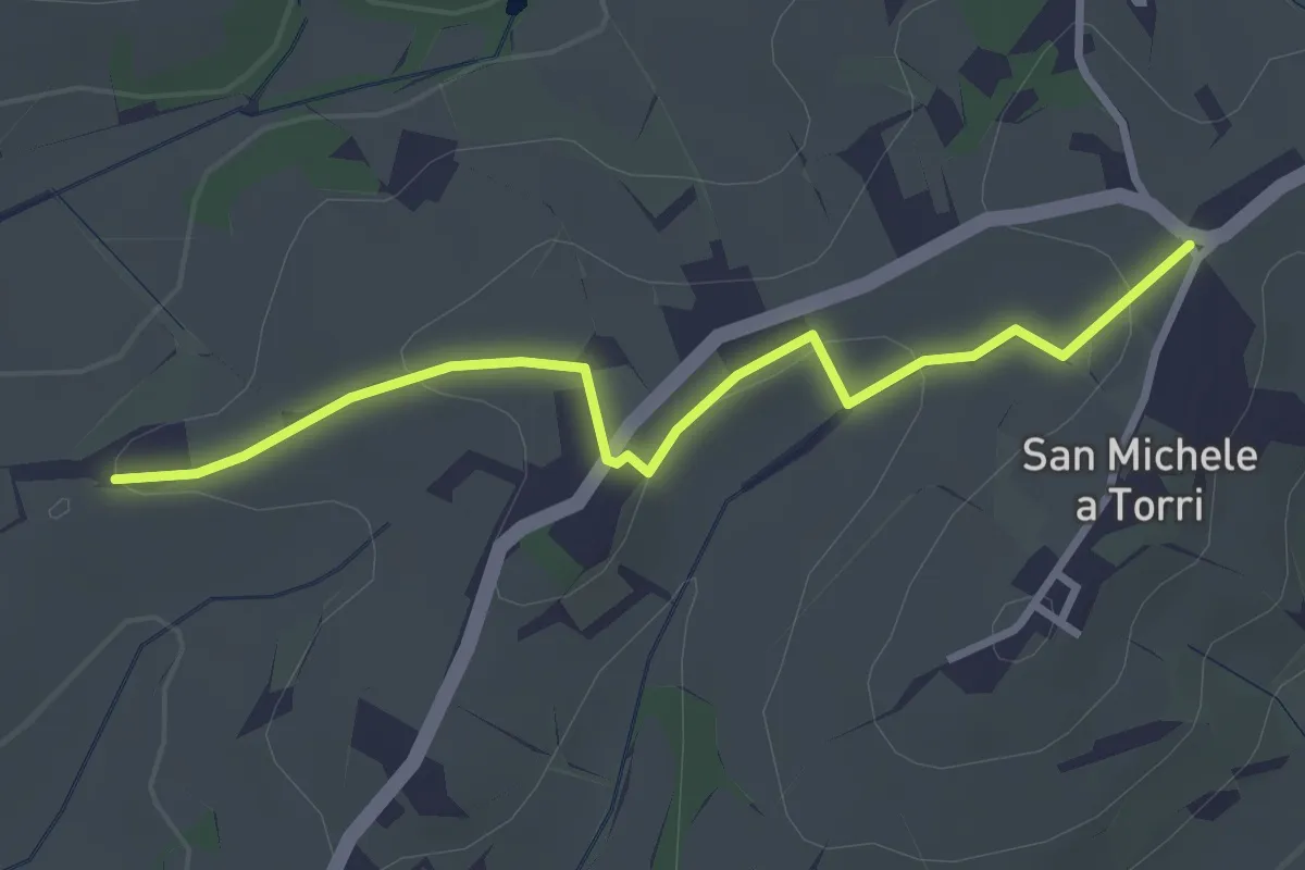
San Michele a Torri – innesto 731 - Mulinaccio
3.2 km · ↑ 69 m · 55 min · 14 km away
Medium · Trail
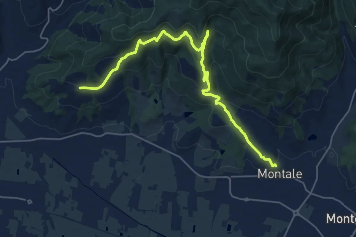
Montale Alto – San Quirico
16.4 km · ↑ 662 m · 5 h 18 min · 14 km away
Medium · Summit
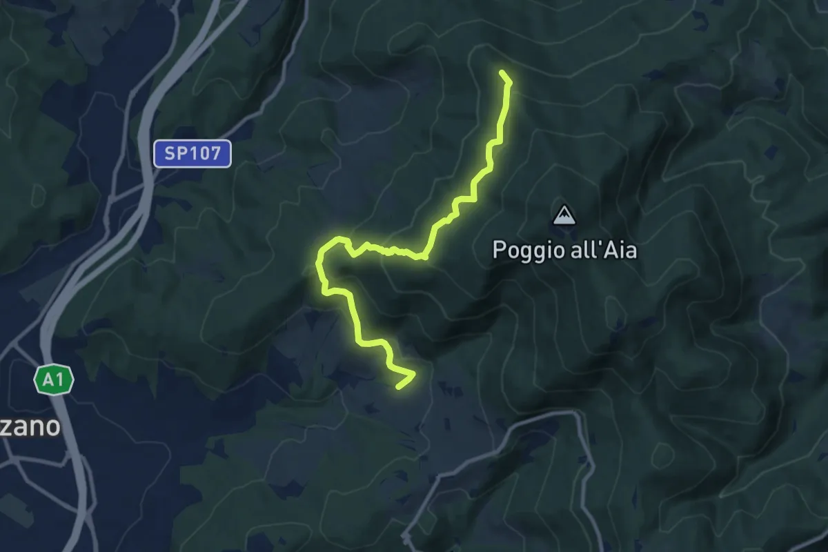
Ponte sul Chiosina – Poggio Leccio (m. 590 sent. 8 e 8B)
10.4 km · ↑ 614 m · 3 h 48 min · 14 km away
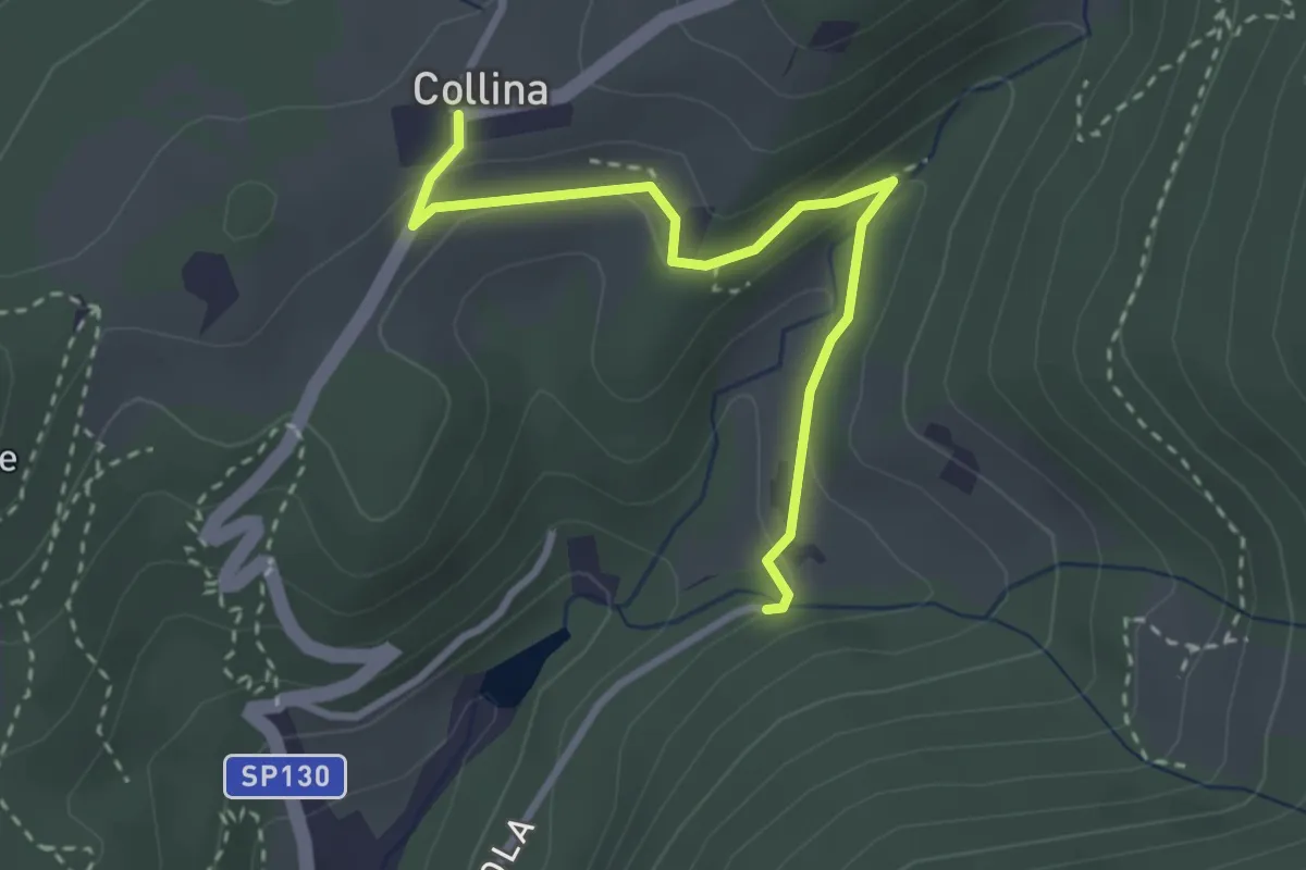
Easy · Trail
Via di Isola – Collina
3.1 km · ↑ 95 m · 56 min · 14 km away
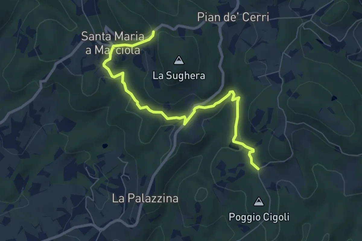
Easy · Trail
Le Calle – Le Croci
7.3 km · ↑ 237 m · 2 h 14 min · 14 km away
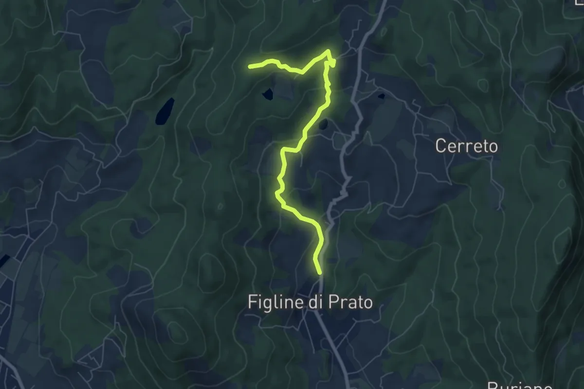
Easy · Trail
Figline (Pian di Gello) – Monte Lopi Fontanaccio
6.6 km · ↑ 295 m · 2 h 13 min · 14 km away
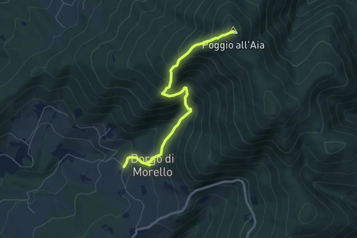
Medium · Summit
Morello – Poggio all'Aia
6.3 km · ↑ 665 m · 2 h 55 min · 14 km away
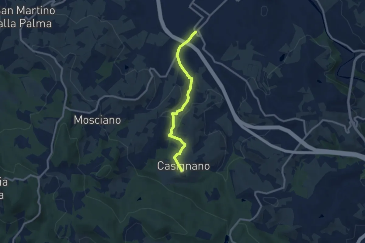
Easy · Trail
Vingone – Casignano (innesto Percorso 736)
6.3 km · ↑ 161 m · 1 h 51 min · 14 km away
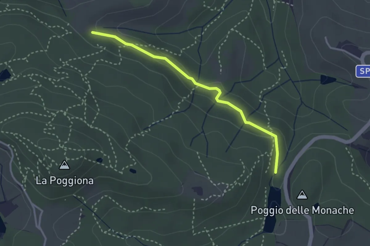
Easy · Trail
Casignano – Lago di Chiesanuova
3.0 km · ↑ 68 m · 51 min · 14 km away
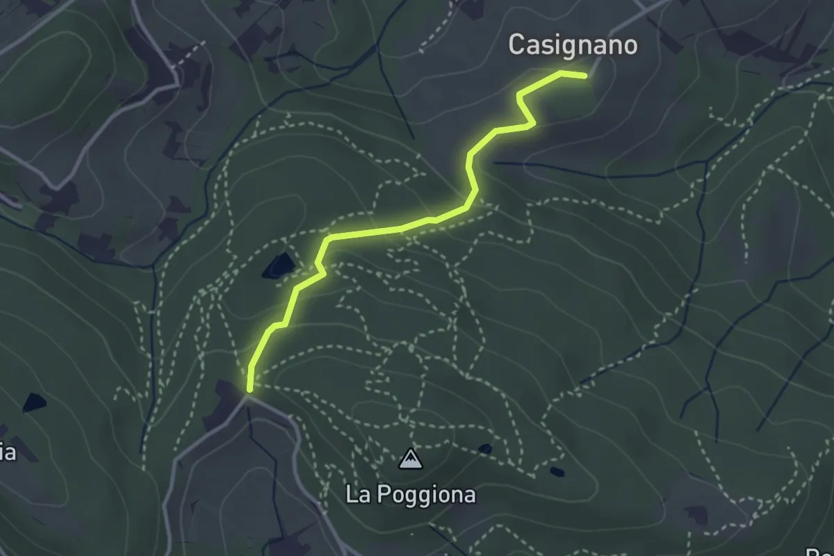
Easy · Trail
Casignano – La Catena
3.0 km · ↑ 126 m · 58 min · 14 km away
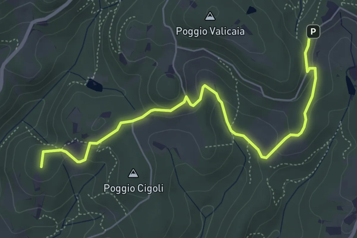
Easy · Summit
Castellare – Poggio Valicaia
6.3 km · ↑ 220 m · 1 h 57 min · 14 km away
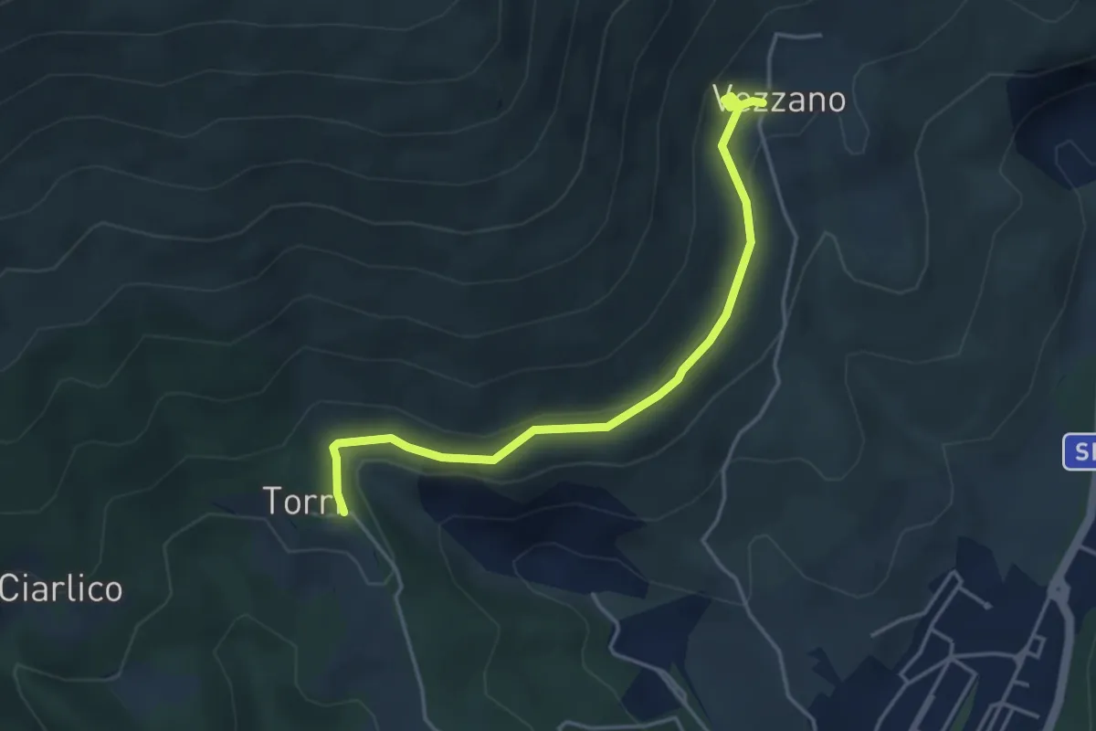
Easy · Trail
Torri di Carraia – Vezzano
4.2 km · ↑ 85 m · 1 h 10 min · 14 km away
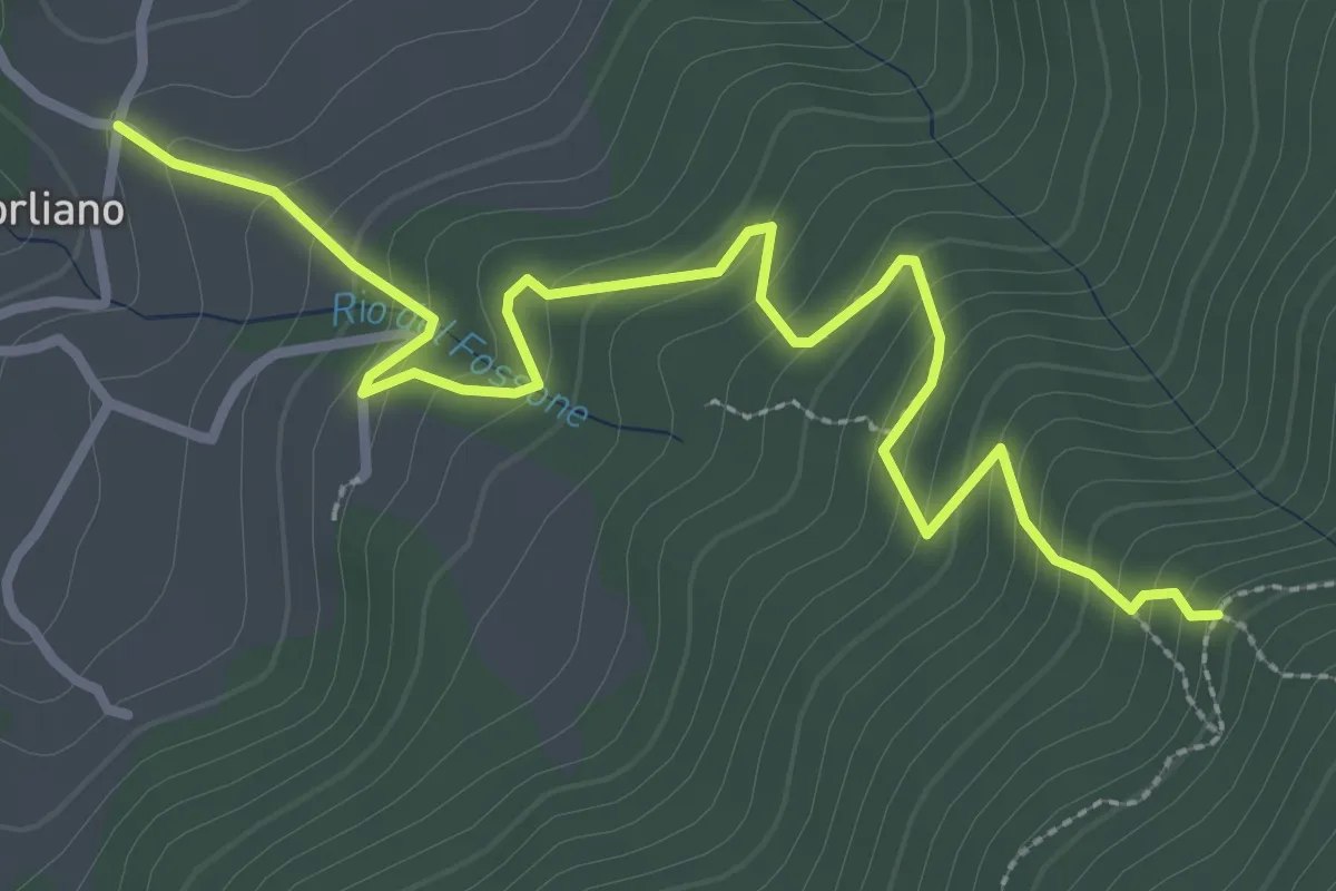
Easy · Trail
Leccio – Quota 590 sentiero 9
3.8 km · ↑ 299 m · 1 h 33 min · 15 km away
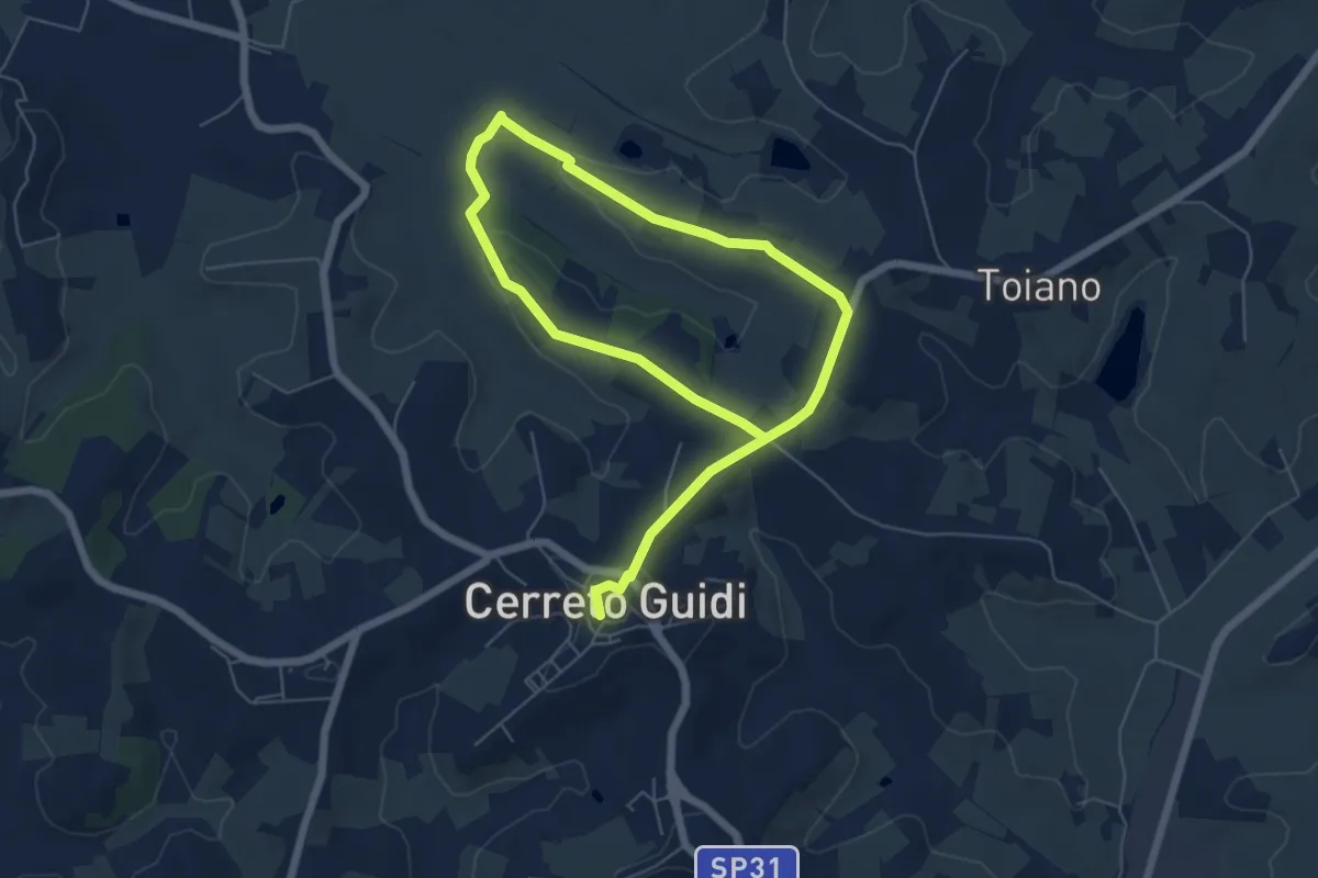
Easy · Trail
Anello mediceo 6 - Sommiano
5.0 km · ↑ 88 m · 1 h 26 min · 15 km away
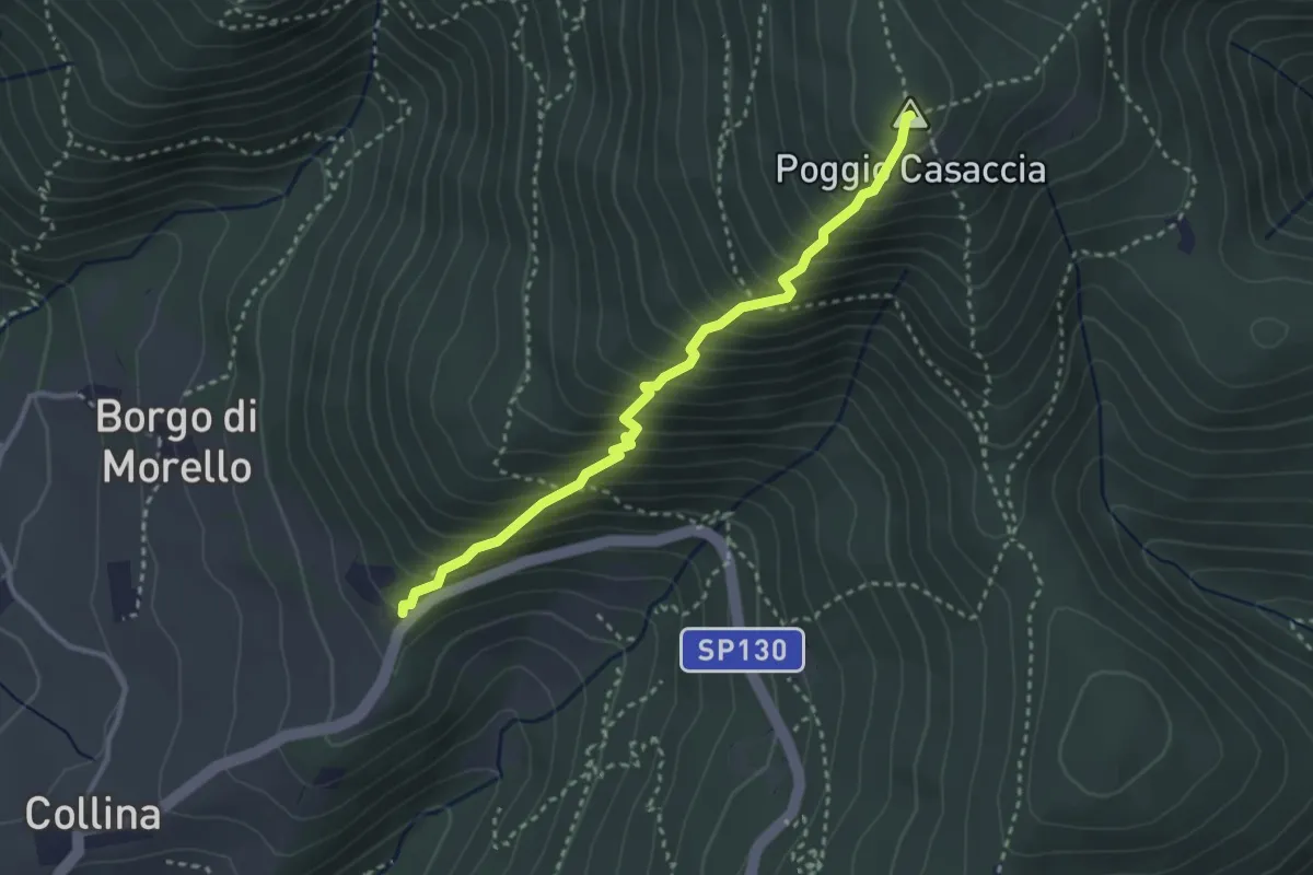
Demanding · Summit
Sentiero del Pensionato
3.2 km · ↑ 469 m · 1 h 46 min · 15 km away
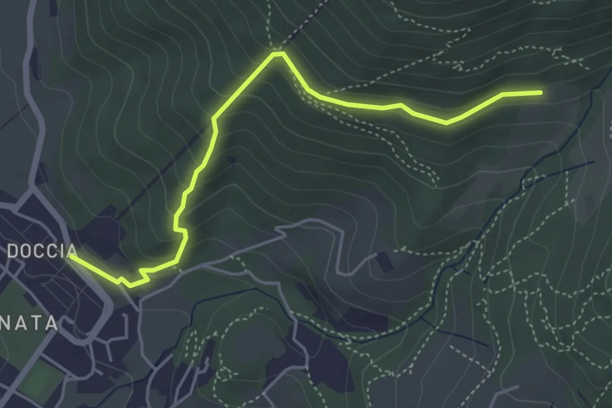
Easy · Trail
Colonnata – Casa Solatio
4.7 km · ↑ 288 m · 1 h 45 min · 15 km away
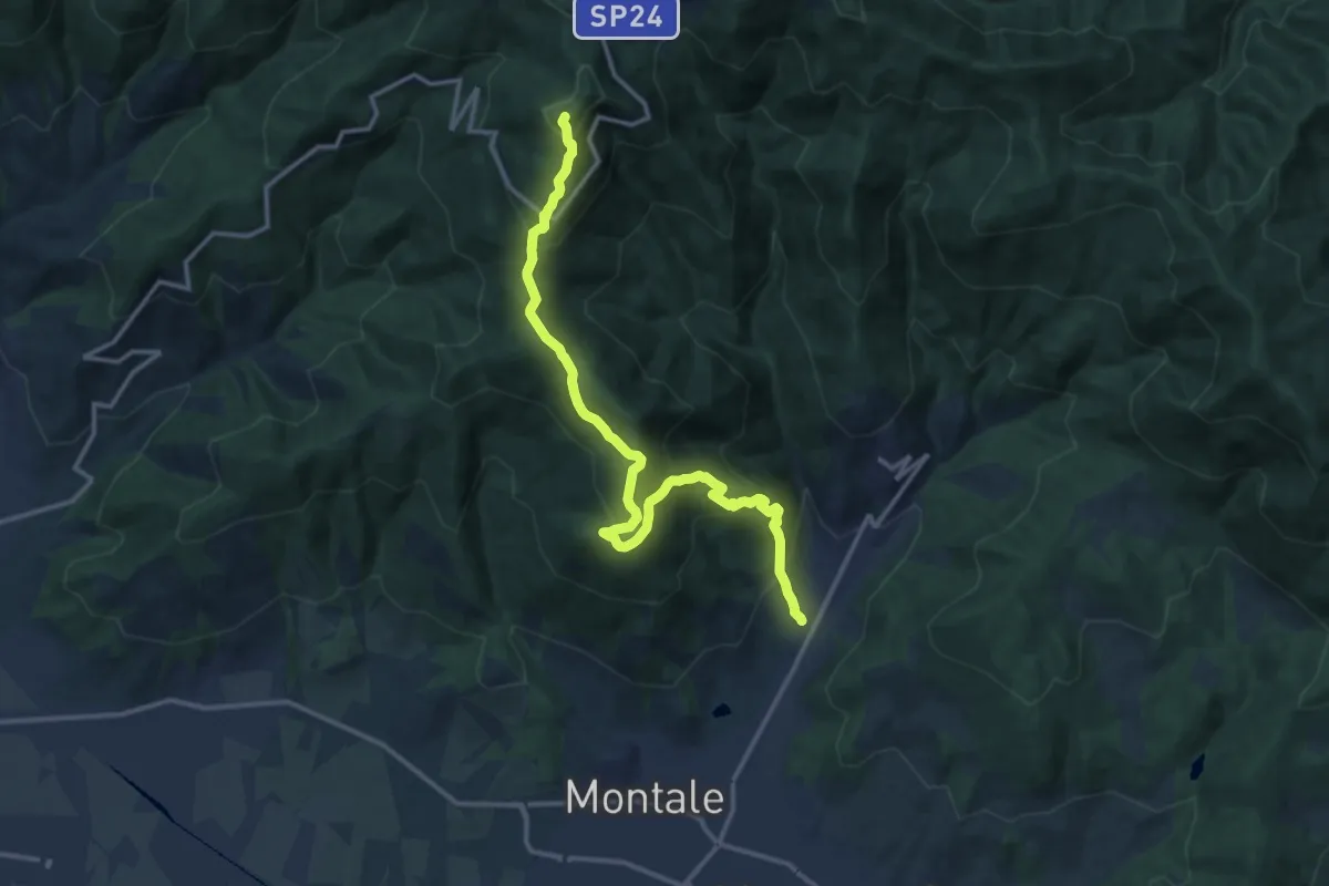
Demanding · Summit
Fognano – Poggio dei Ronchi
15.8 km · ↑ 1039 m · 5 h 59 min · 15 km away