Trails near Ponsacco
68 hikes starting within 15 km, nearest first.
Nearest first, page 2 of 2
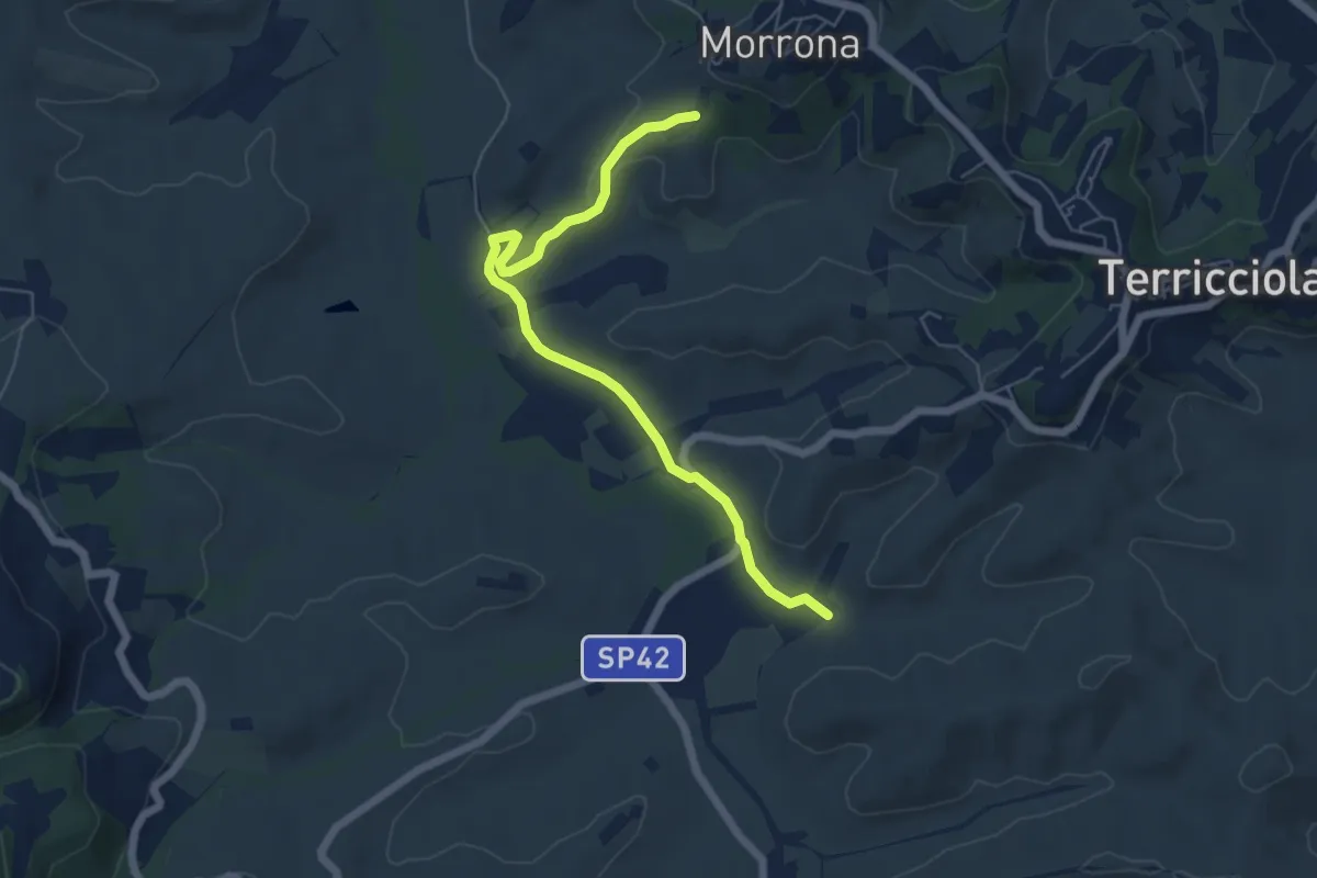
Easy · Trail
Morrona (Via Di Taneto) – Valle di Santa Maria
6.4 km · ↑ 91 m · 1 h 42 min · 12 km away
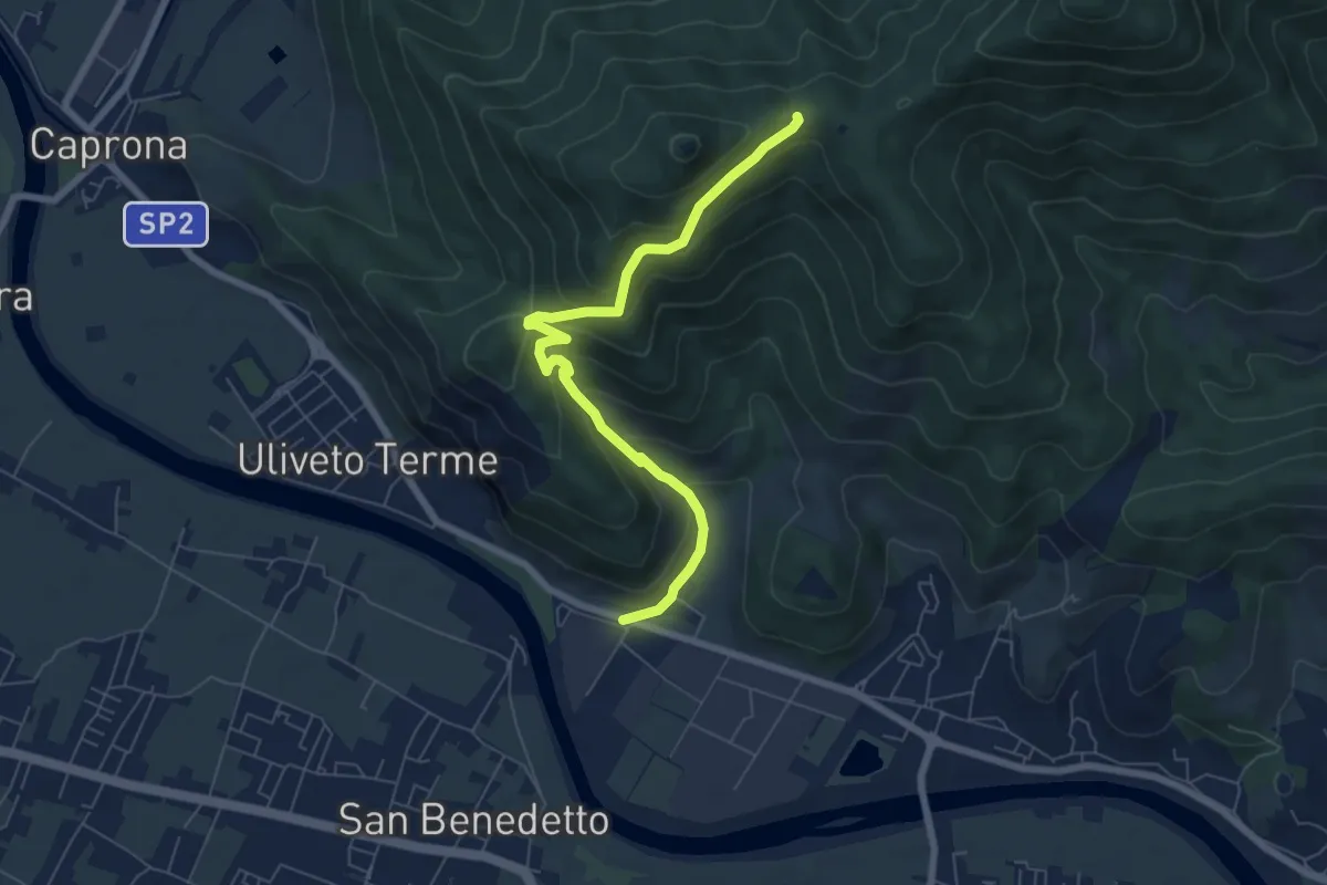
Medium · Trail
Noce – Prato a Ceccottino
7.1 km · ↑ 419 m · 2 h 35 min · 12 km away
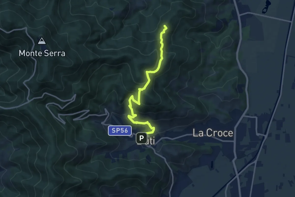
Medium · Summit
Castelvecchio di Compito – Buti
10.5 km · ↑ 603 m · 3 h 47 min · 12 km away
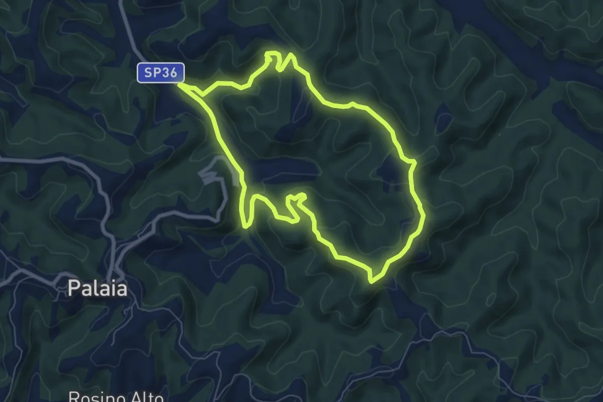
Easy · Trail
Anello di Agliati - Percorso 4
7.1 km · ↑ 217 m · 2 h 14 min · 13 km away
Easy · Trail
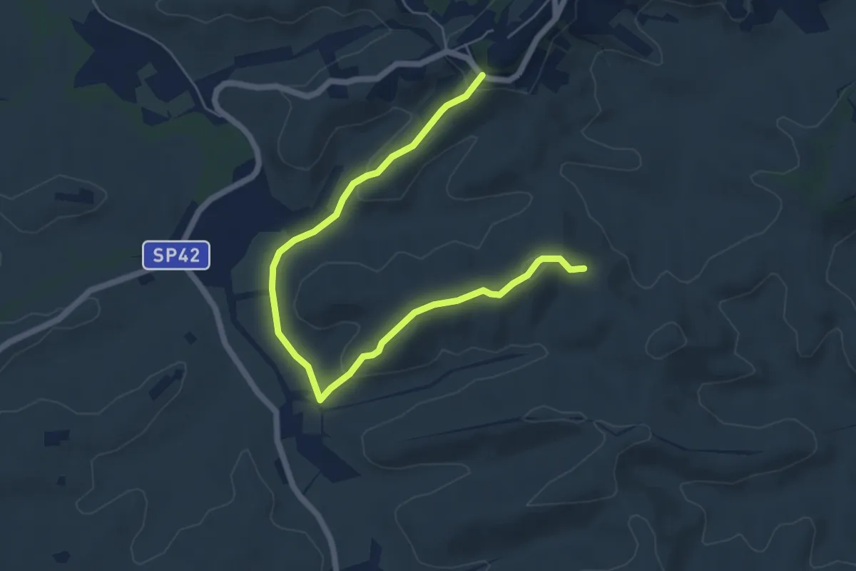
Terricciola – Via delle Colline
7.1 km · ↑ 186 m · 2 h 4 min · 13 km away
Medium · Trail
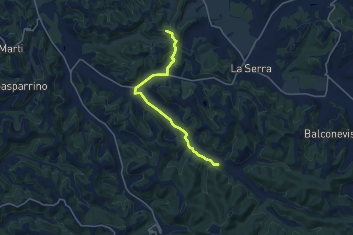
C03 - Collegamento Gran Anello Ovest
9.9 km · ↑ 171 m · 2 h 42 min · 13 km away
Medium · Trail
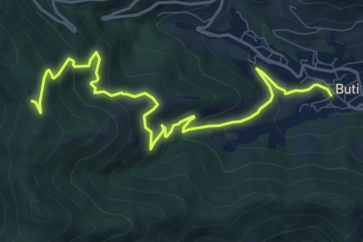
Buti – Prato a Giovo
9.9 km · ↑ 619 m · 3 h 41 min · 13 km away
Medium · Trail
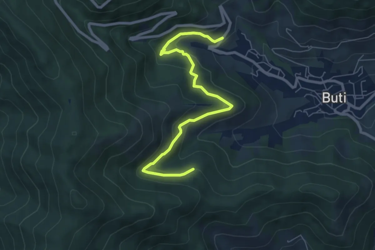
Panicale – Col di Cincia
6.8 km · ↑ 347 m · 2 h 21 min · 13 km away
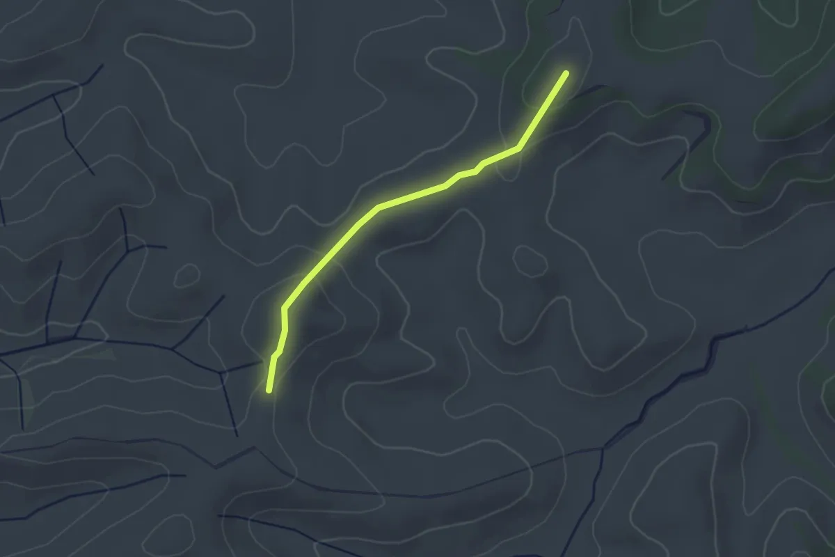
Easy · Trail
Terricciola – Terricciola
2.7 km · ↑ 93 m · 51 min · 13 km away
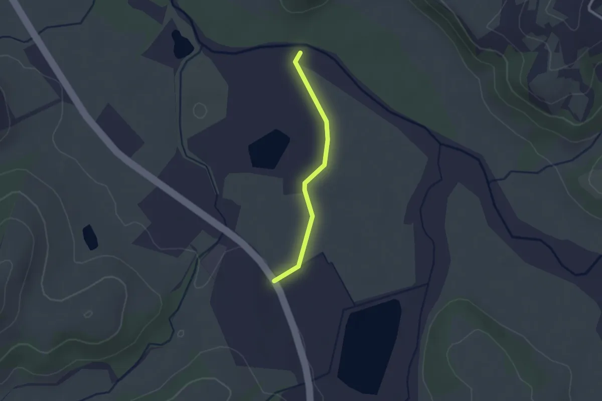
Easy · Trail
Via Volterrana – Fiume Era
2.1 km · ↑ 17 m · 32 min · 14 km away
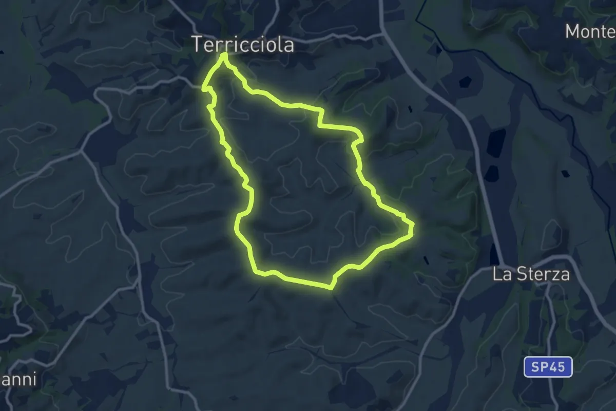
Medium · Trail
Terricciola – Terricciola
9.9 km · ↑ 260 m · 3 h 2 min · 14 km away
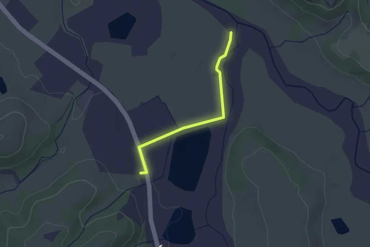
Easy · Trail
Via Volterrana – Torrente Sterza
2.5 km · ↑ 14 m · 37 min · 14 km away
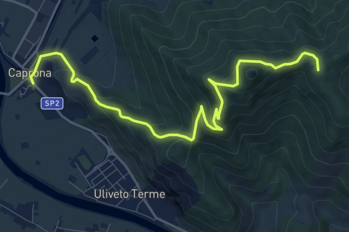
Medium · Summit
Caprona – San Bernardo
11.2 km · ↑ 580 m · 3 h 54 min · 14 km away
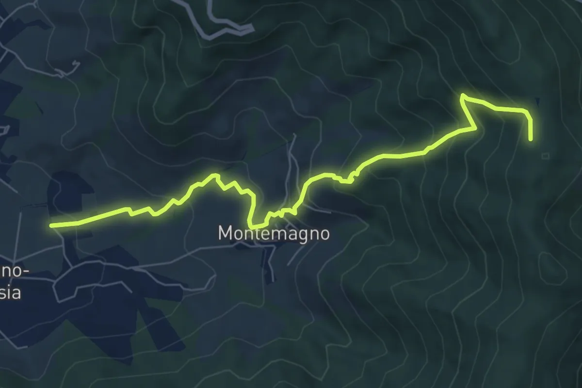
Medium · Trail
Certosa di Calci – Prato a Giovo
7.8 km · ↑ 581 m · 3 h 5 min · 14 km away
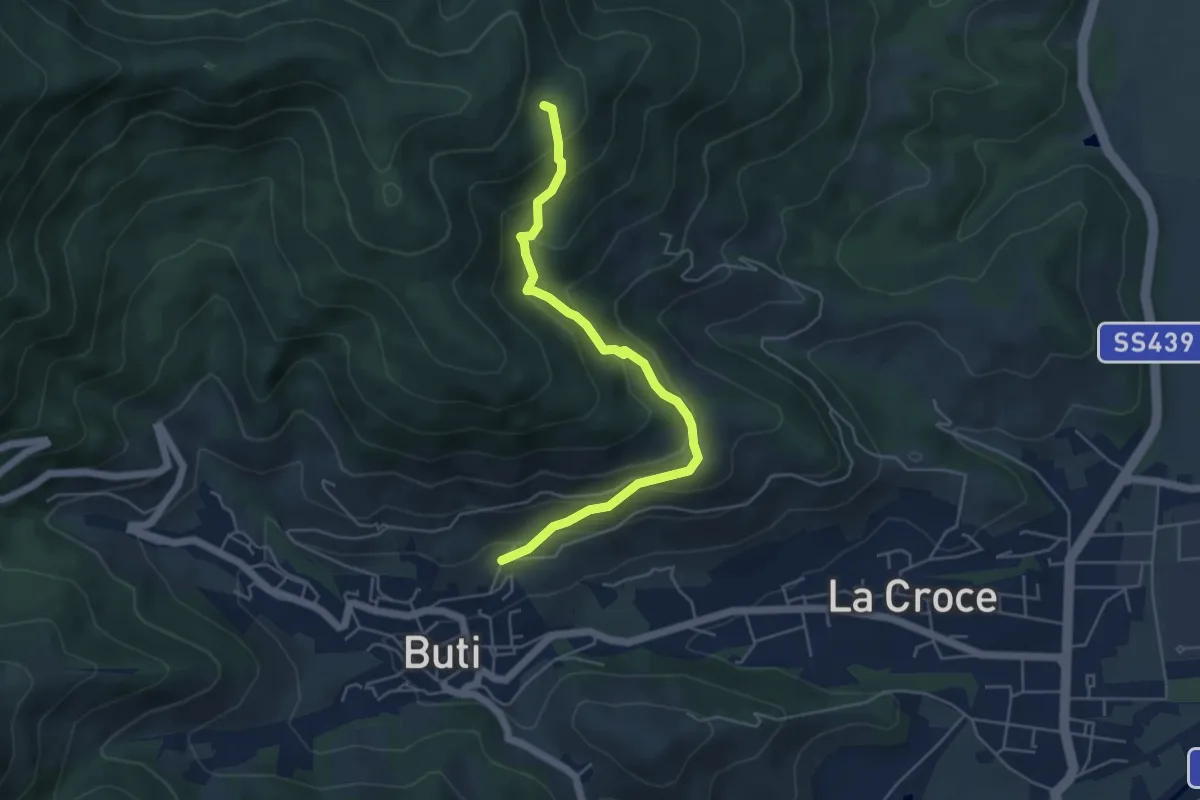
Medium · Trail
Buti – Piavola
5.4 km · ↑ 374 m · 2 h 5 min · 14 km away
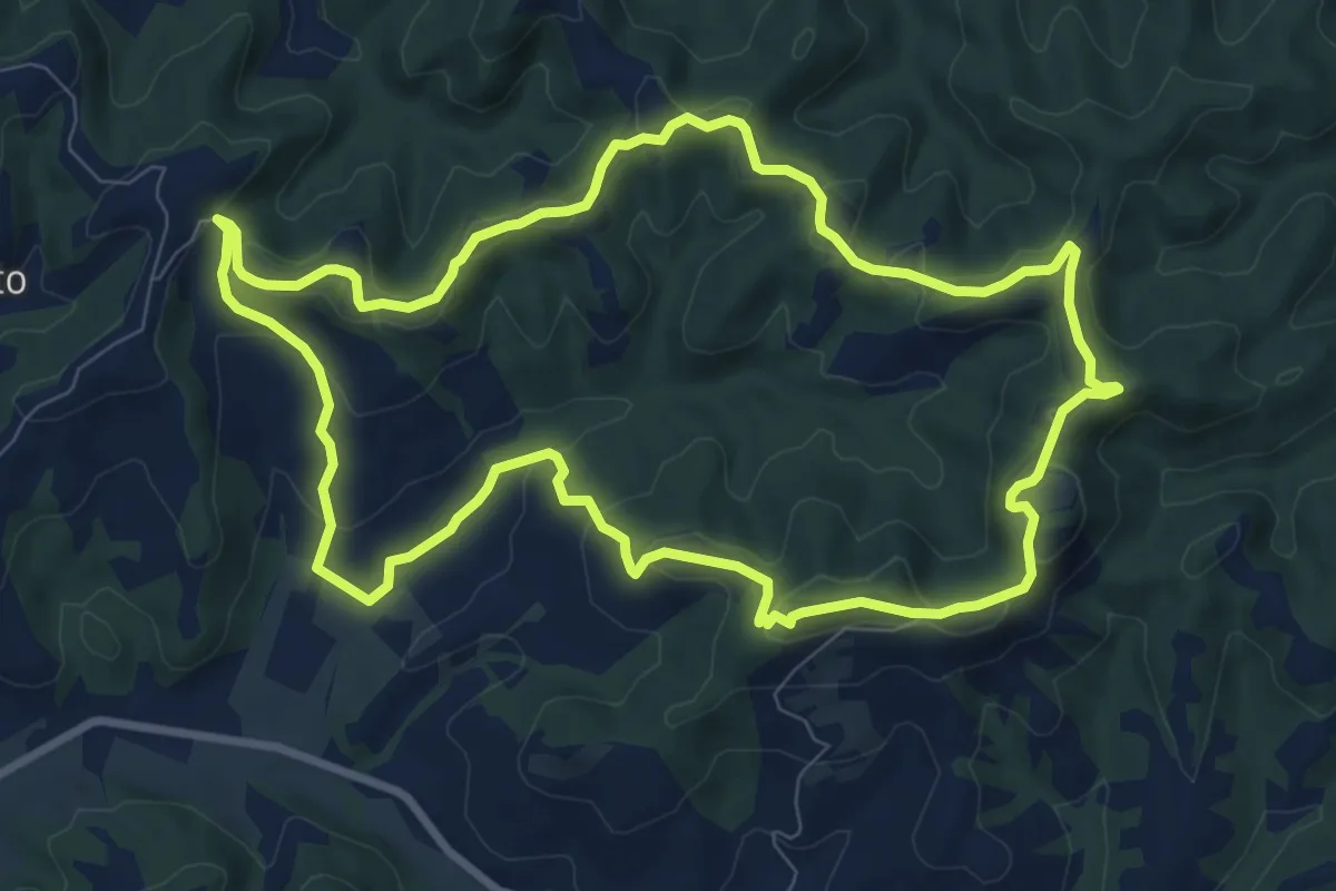
Medium · Trail
Anello di Toiano - Percorso 5
9.7 km · ↑ 341 m · 3 h 10 min · 14 km away
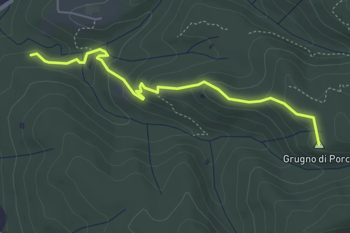
Easy · Summit
Case Corbinelli – Grugno del Porco
4.4 km · ↑ 214 m · 1 h 30 min · 14 km away
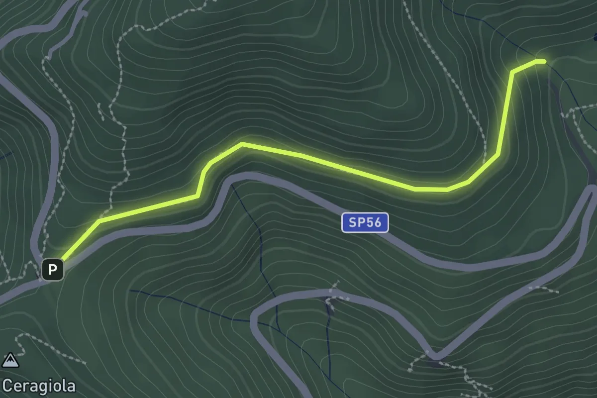
Easy · Trail
Serra di Sotto – Prato a Ceragiola
2.9 km · ↑ 114 m · 56 min · 14 km away
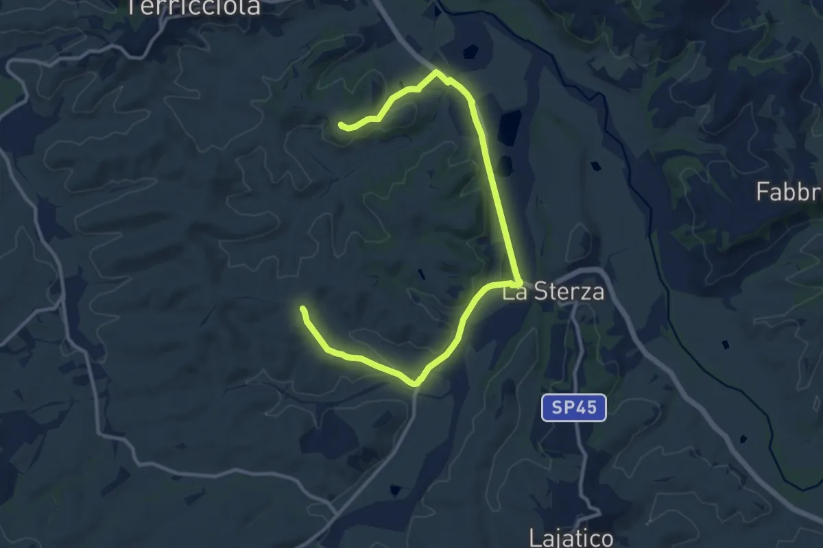
Medium · Trail
I Laghi della Sterza, Via delle Colline – Scannicci
13.6 km · ↑ 230 m · 3 h 42 min · 15 km away
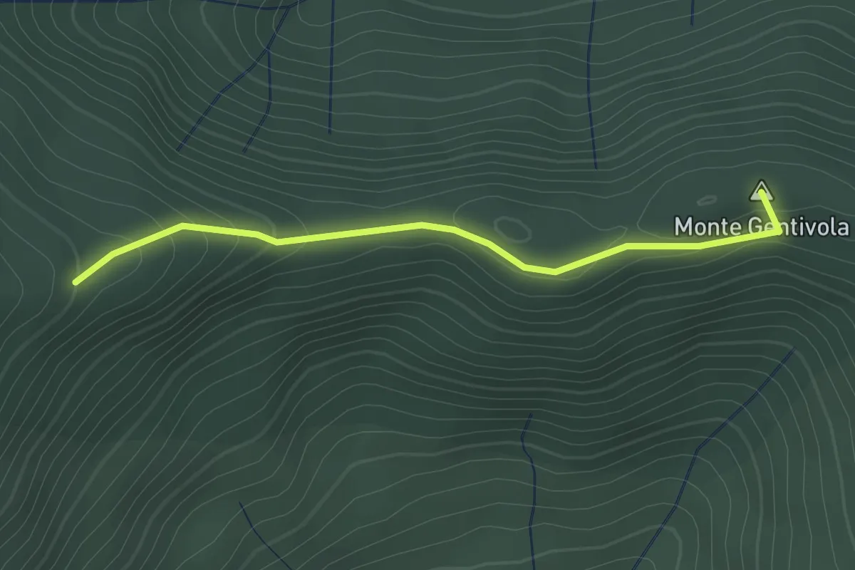
Easy · Summit
Percorso 142 – Percorso 140
2.2 km · ↑ 94 m · 44 min · 15 km away