Trails near Ponte Buggianese
68 hikes starting within 15 km, nearest first.
Nearest first, page 2 of 2
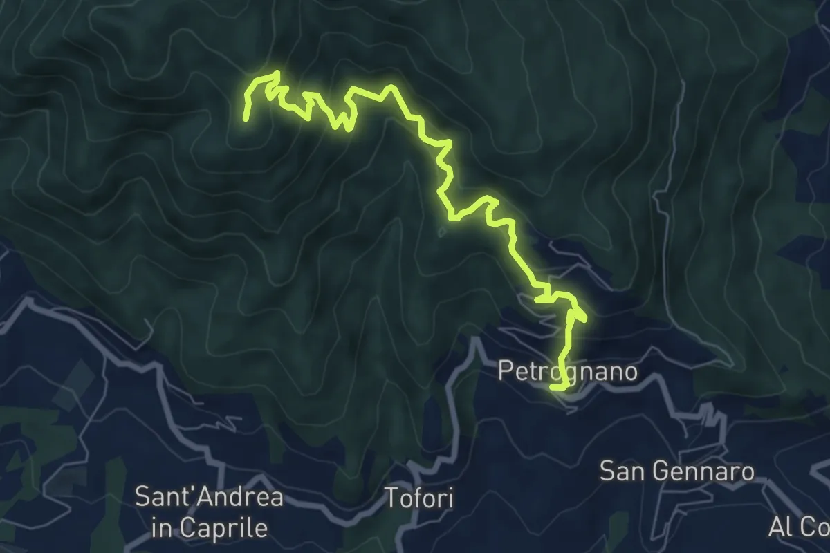
Demanding · Trail
Sentiero n.6 "Querce del Papa"
8.2 km · ↑ 820 m · 3 h 42 min · 13 km away
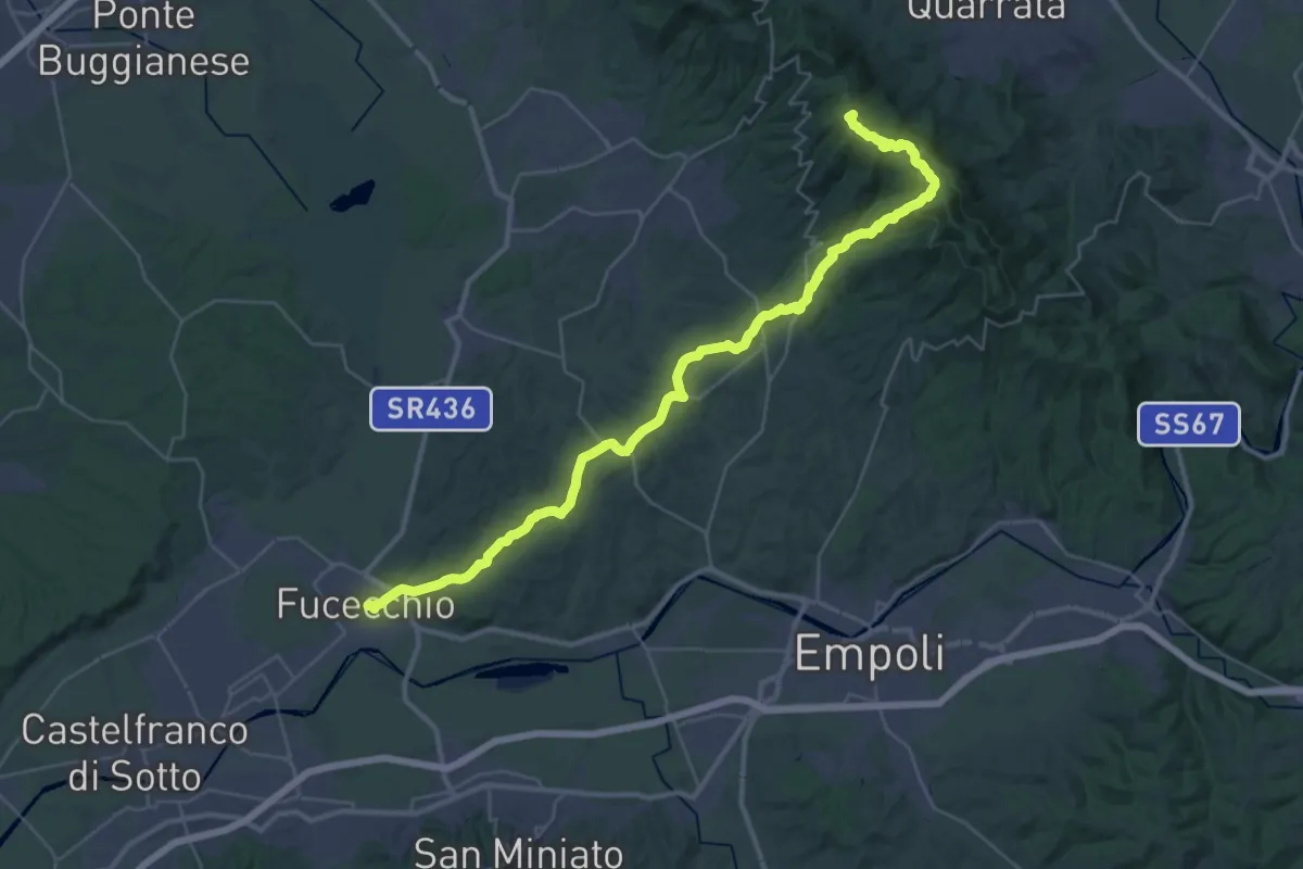
Demanding · Summit
Via Romea Nonantolana e Via della Sambuca: Tappa 8
42.6 km · ↑ 932 m · 12 h 4 min · 13 km away
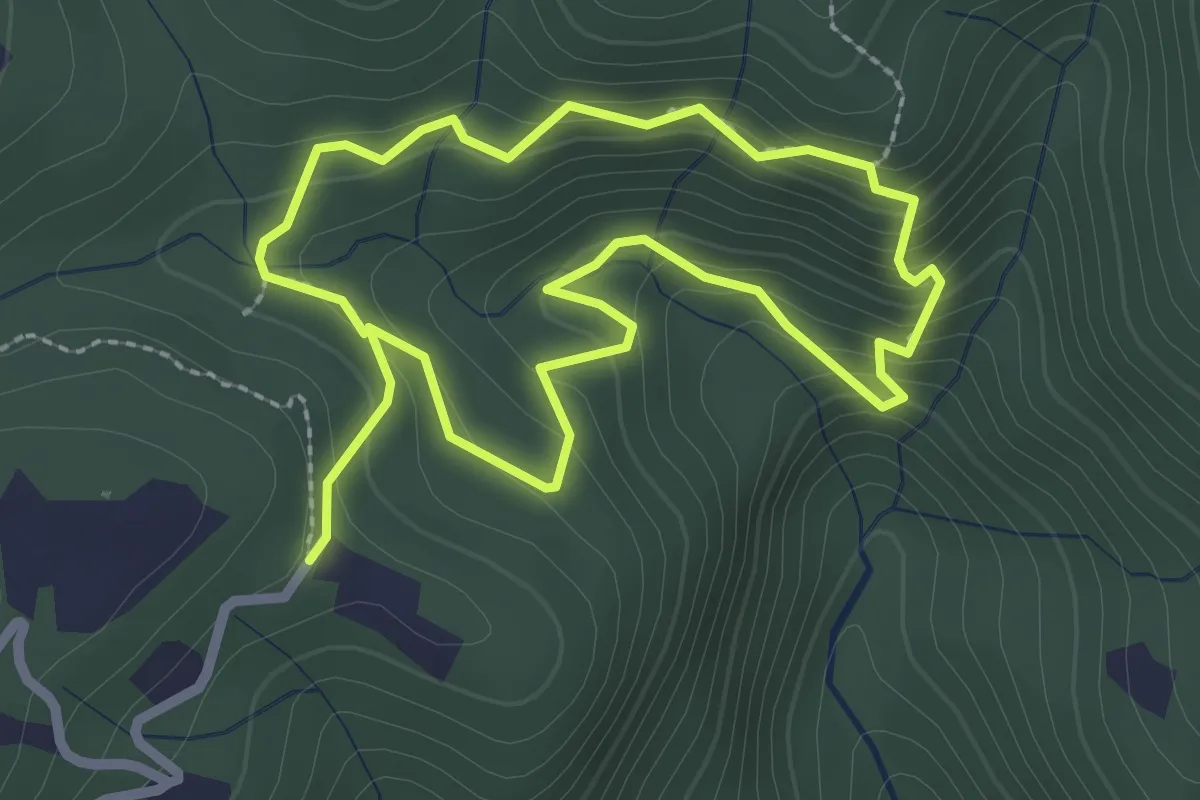
Easy · Trail
Giro Sasso del Diavolo
2.3 km · ↑ 160 m · 56 min · 13 km away
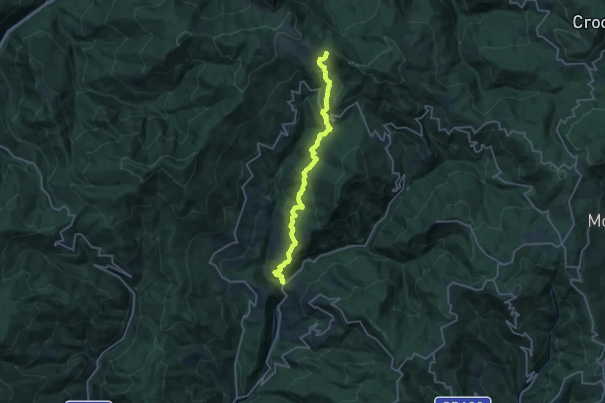
Demanding · Trail
Ponte di Sorana – Croce a Veglia
15.9 km · ↑ 875 m · 5 h 38 min · 14 km away
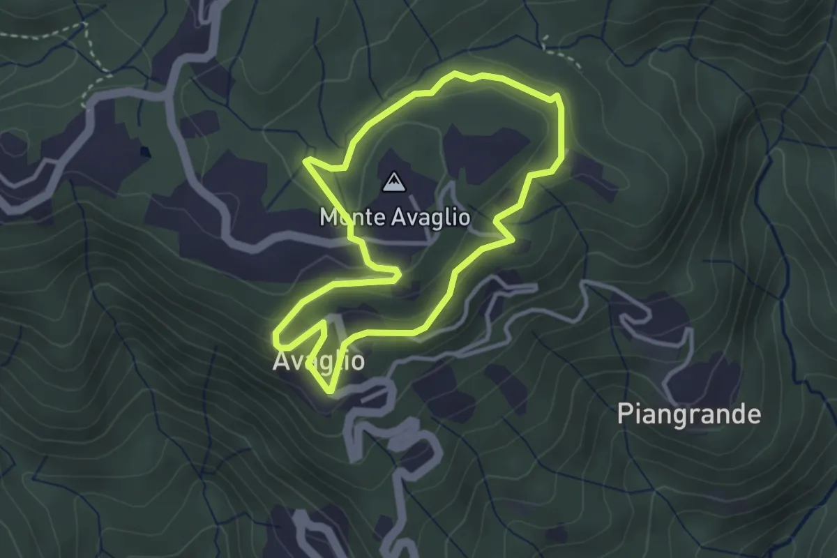
Easy · Summit
Giro Ortocieco
2.9 km · ↑ 93 m · 56 min · 14 km away
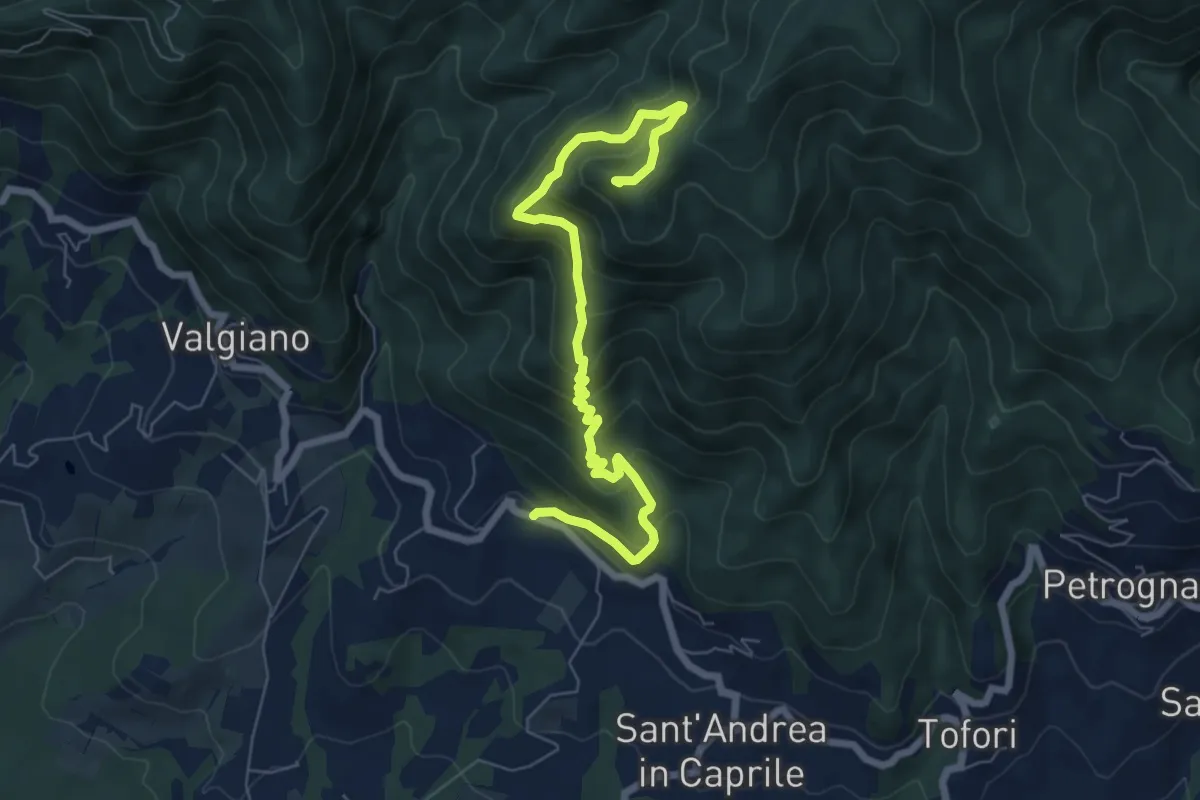
Medium · Summit
Sentiero n.4 "Monte Scarpiglione"
7.7 km · ↑ 632 m · 3 h 11 min · 14 km away
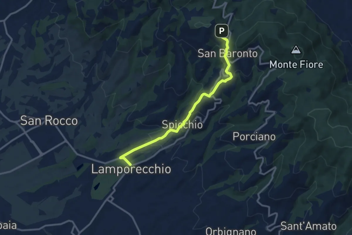
Medium · Trail
Lamporecchio – innesto sentiero 800
8.3 km · ↑ 305 m · 2 h 37 min · 14 km away
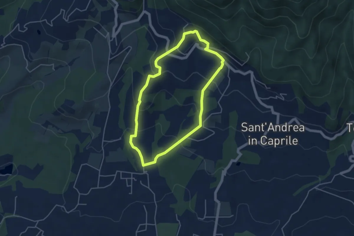
Easy · Trail
Sentiero n.13 "San Pietro a Marcigliano"
3.9 km · ↑ 213 m · 1 h 26 min · 14 km away
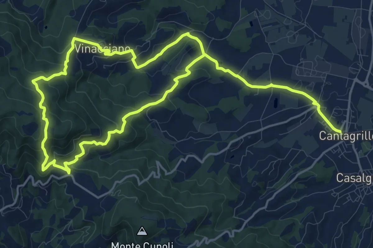
Medium · Trail
Cantagrillo – Cantagrillo
11.5 km · ↑ 463 m · 3 h 52 min · 14 km away
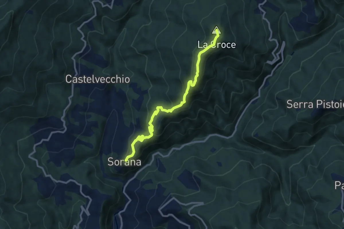
Medium · Summit
Sorana – Ponte alla Torbola
8.9 km · ↑ 505 m · 3 h 11 min · 14 km away
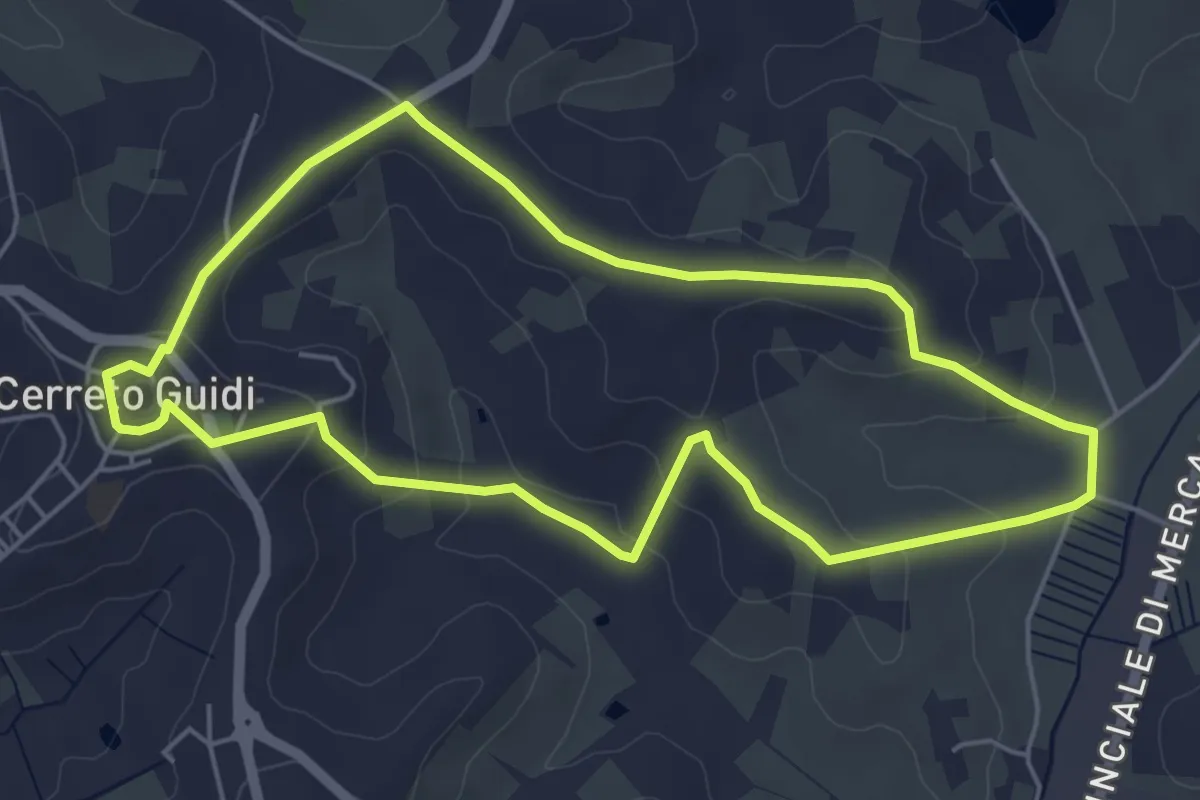
Easy · Trail
Anello mediceo 5 - Callaiola
5.4 km · ↑ 127 m · 1 h 38 min · 14 km away
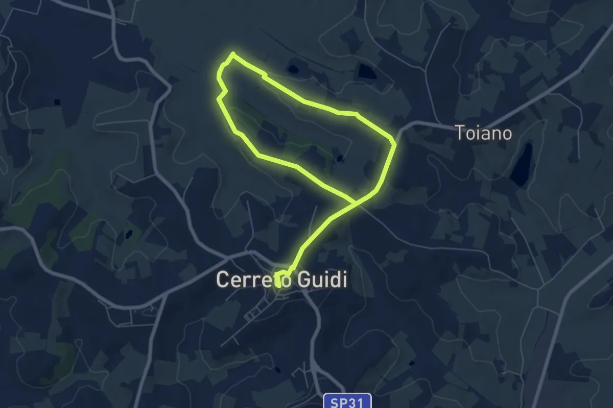
Easy · Trail
Anello mediceo 6 - Sommiano
5.0 km · ↑ 88 m · 1 h 26 min · 14 km away
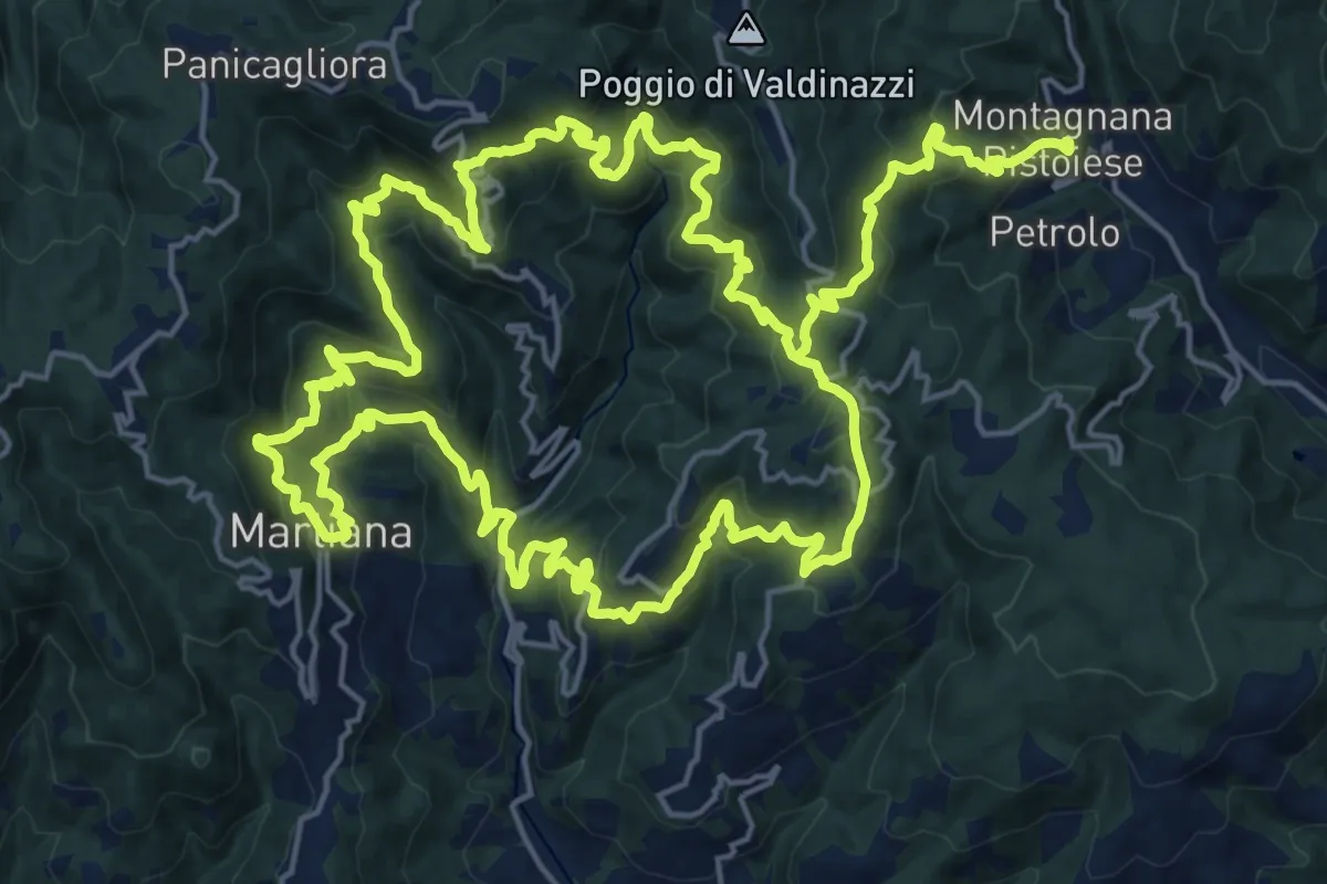
Demanding · Summit
Anello 4 - Sentiero del pane
22.6 km · ↑ 1495 m · 8 h 46 min · 14 km away
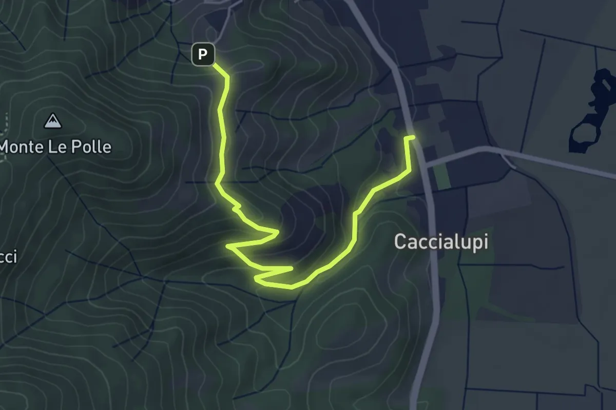
Easy · Trail
Riserva Naturale Bosco di Tanali – Percorso 140
5.5 km · ↑ 207 m · 1 h 45 min · 14 km away
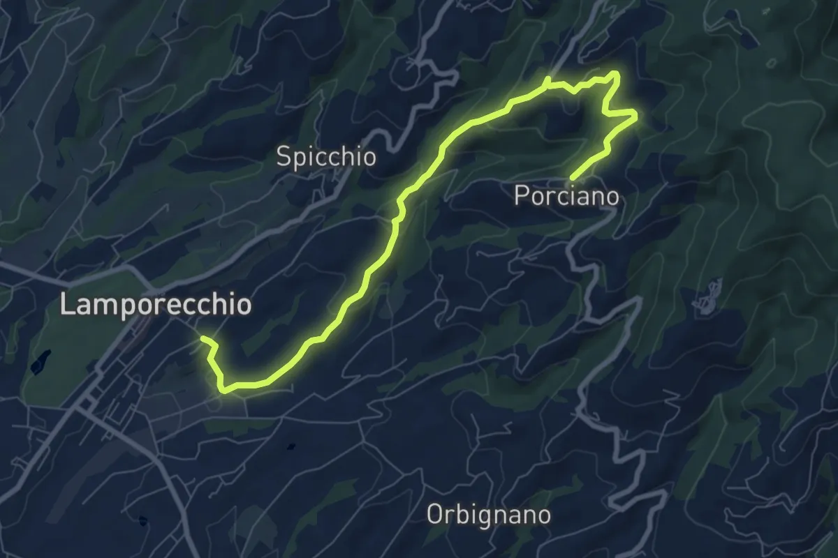
Medium · Trail
Lamporecchio – Porciano
9.1 km · ↑ 368 m · 2 h 56 min · 14 km away
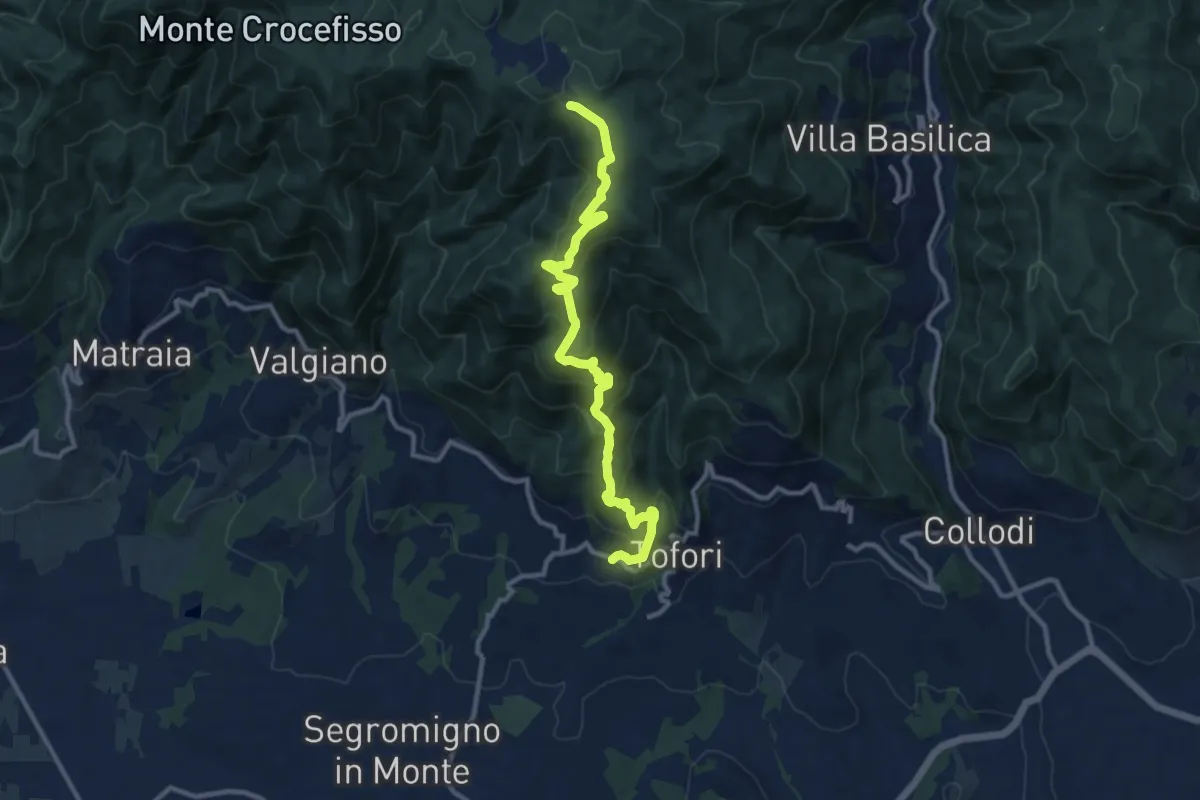
Medium · Trail
Sentiero n.5 "Prato di Rimogno"
11.8 km · ↑ 756 m · 4 h 25 min · 15 km away
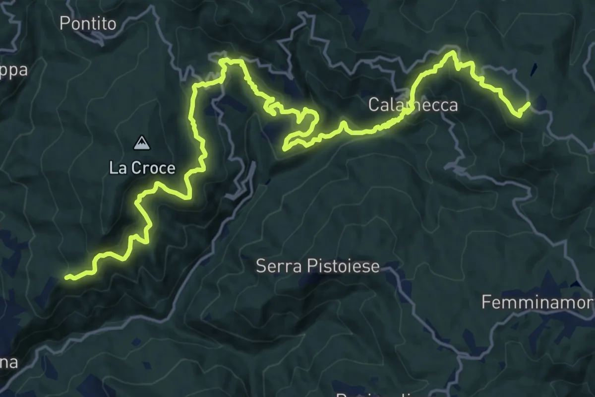
Demanding · Trail
Montaione – Macchia Antonini
12.3 km · ↑ 1049 m · 5 h 10 min · 15 km away
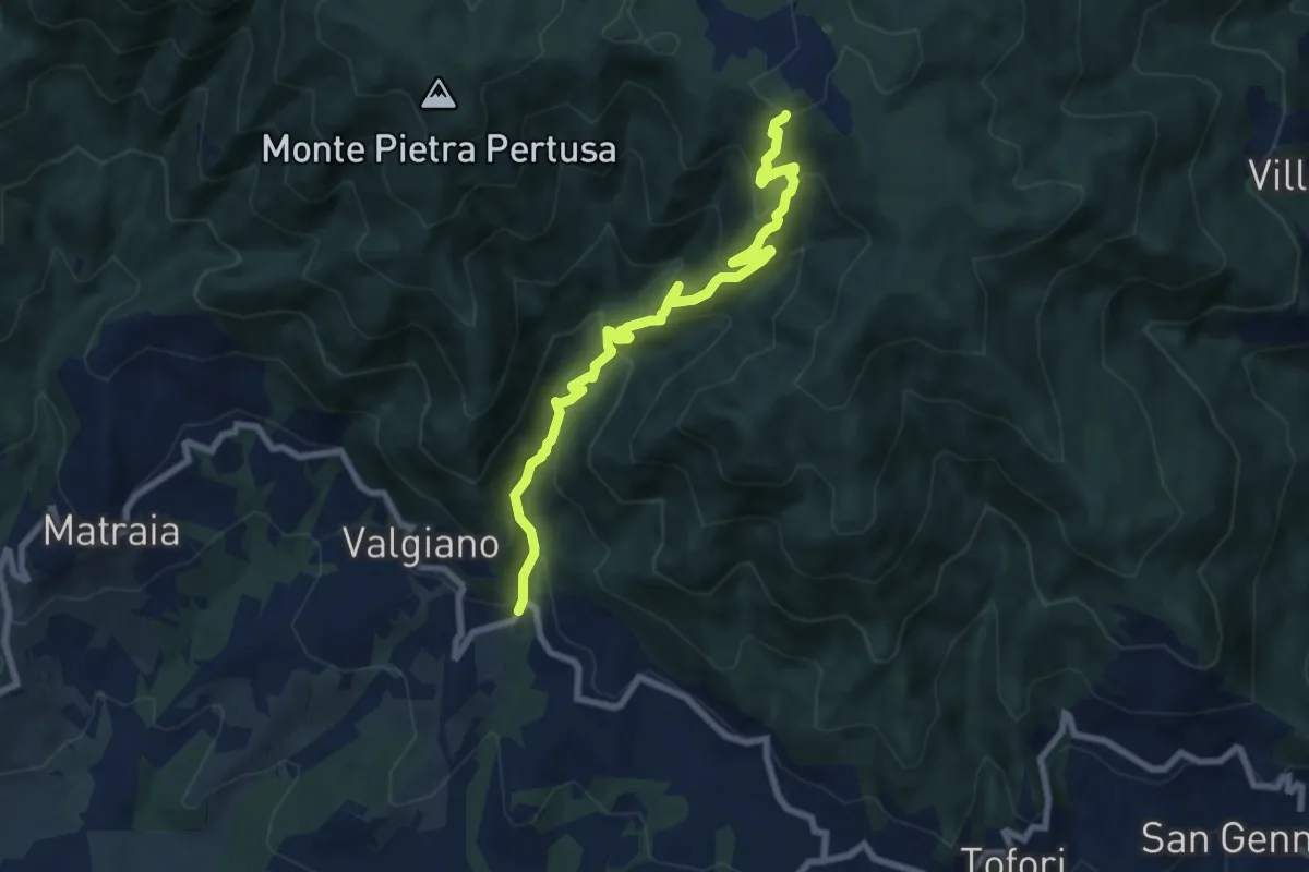
Medium · Trail
Sentiero n.3 "La Cartiera"
8.5 km · ↑ 647 m · 3 h 25 min · 15 km away
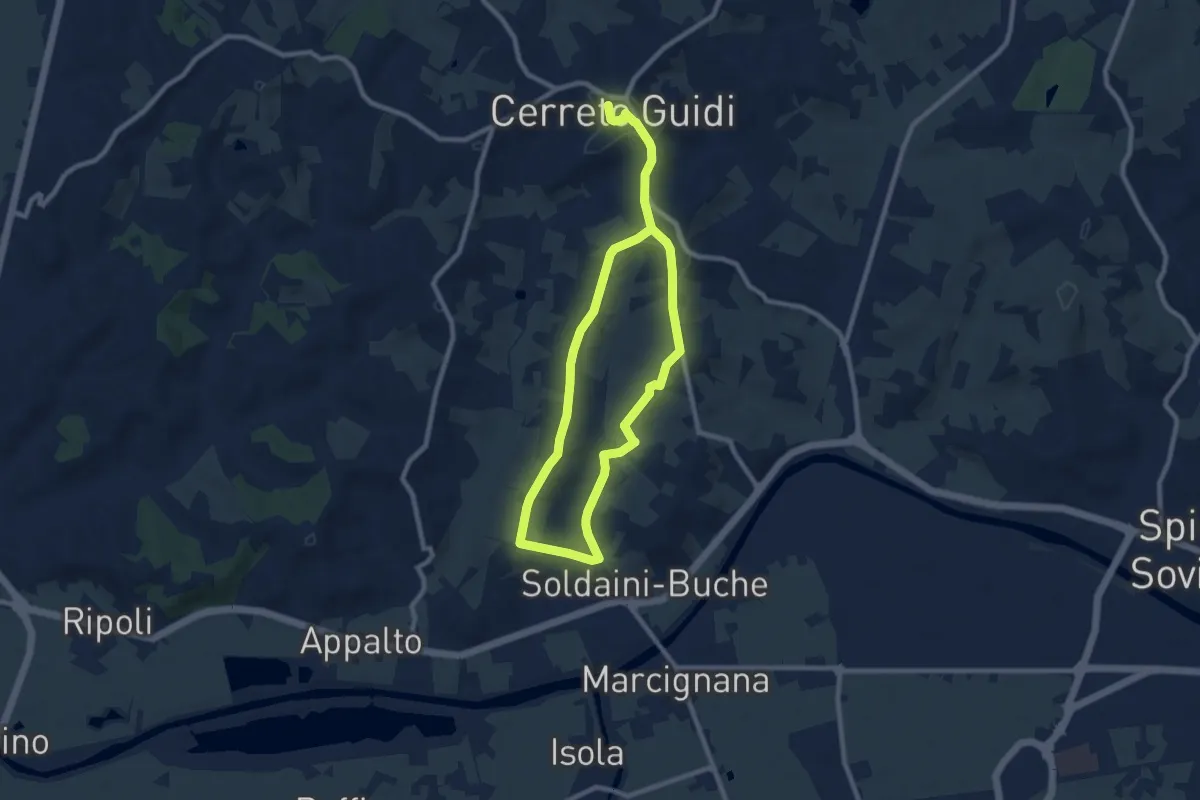
Easy · Trail
Anello mediceo 4 - Via del Lungo
7.7 km · ↑ 127 m · 2 h 11 min · 15 km away
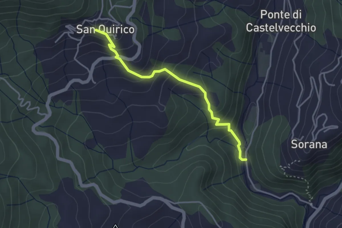
Easy · Trail
Mulino del Monti – San Quirico
3.3 km · ↑ 274 m · 1 h 23 min · 15 km away