Trails near Ponte San Pietro
120 hikes starting within 15 km, nearest first.
Nearest first, page 2 of 3
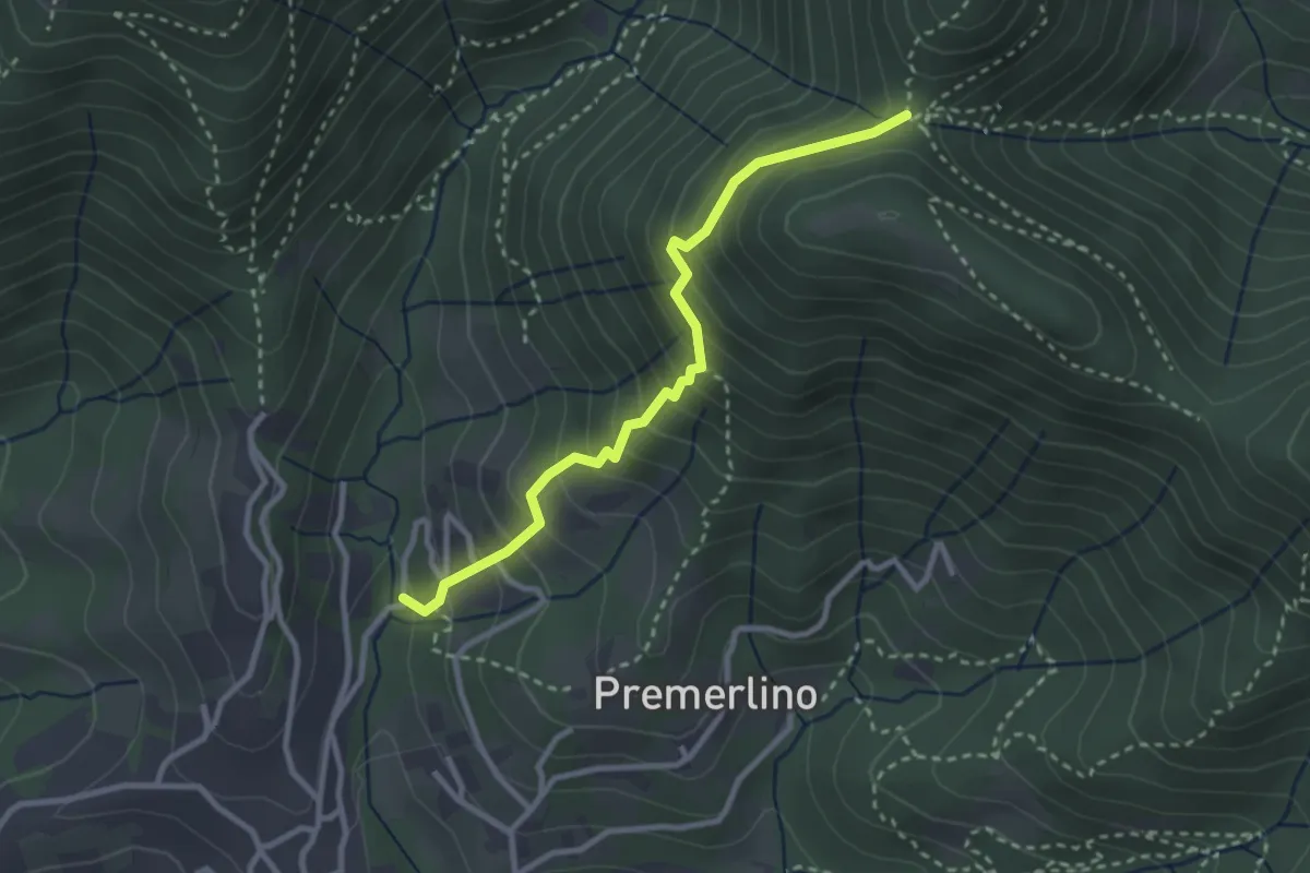
Medium · Trail
Catene (Sorisole) – Forcella del Sorriso
2.9 km · ↑ 309 m · 1 h 21 min · 9 km away
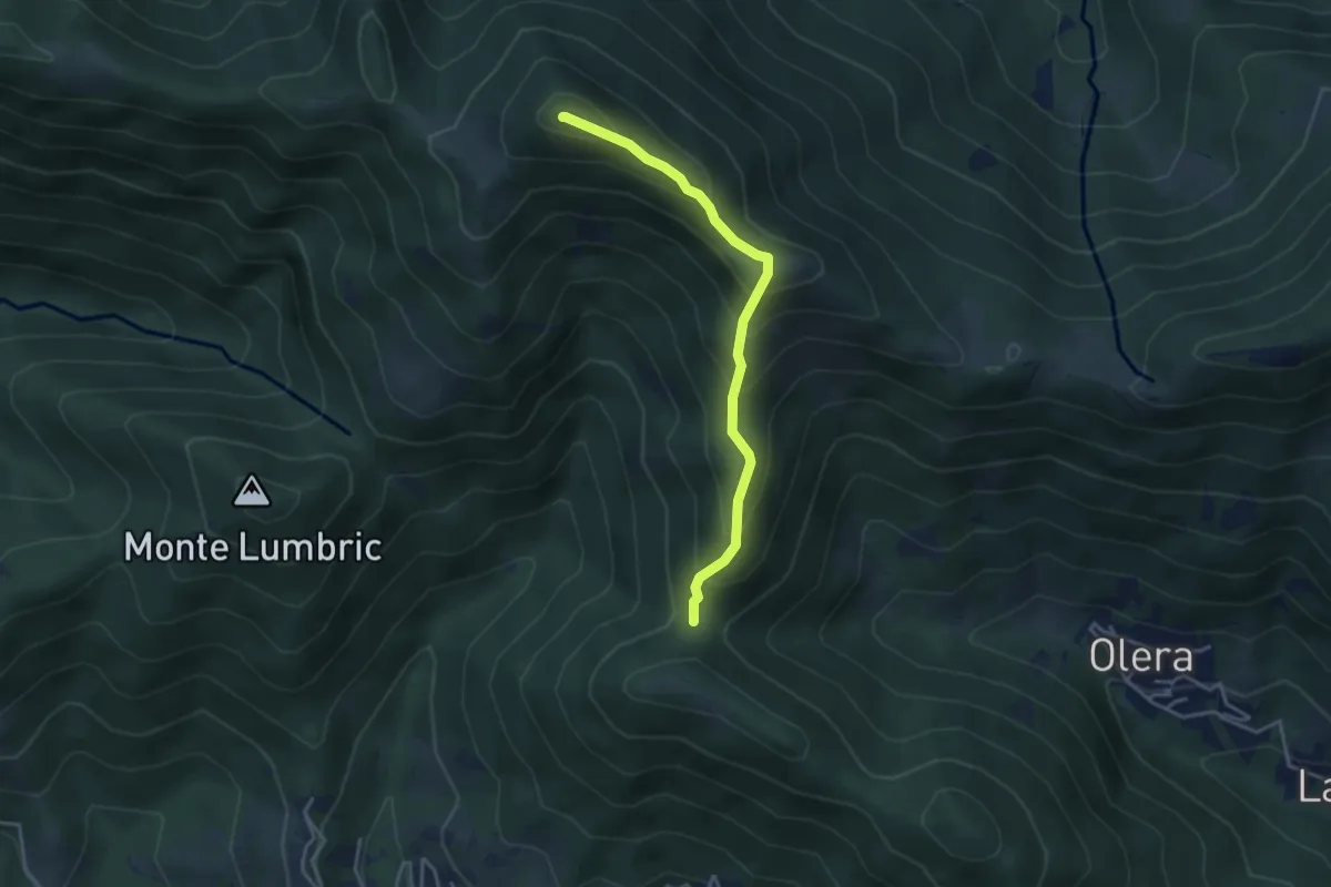
Medium · Summit
Forcella del Sorriso – Monte Canto Alto
3.6 km · ↑ 370 m · 1 h 39 min · 9 km away
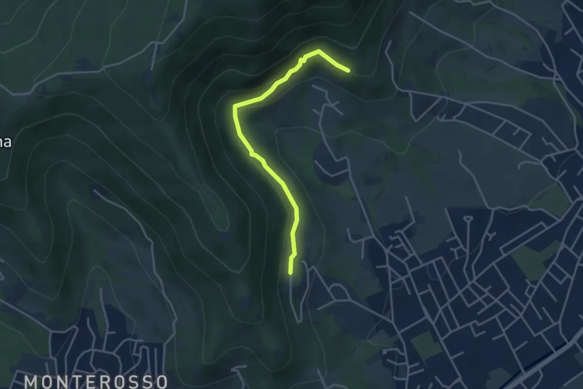
Easy · Trail
Gaito (Torre Boldone) – San Rocco (Ponteranica)
3.3 km · ↑ 127 m · 1 h 4 min · 10 km away
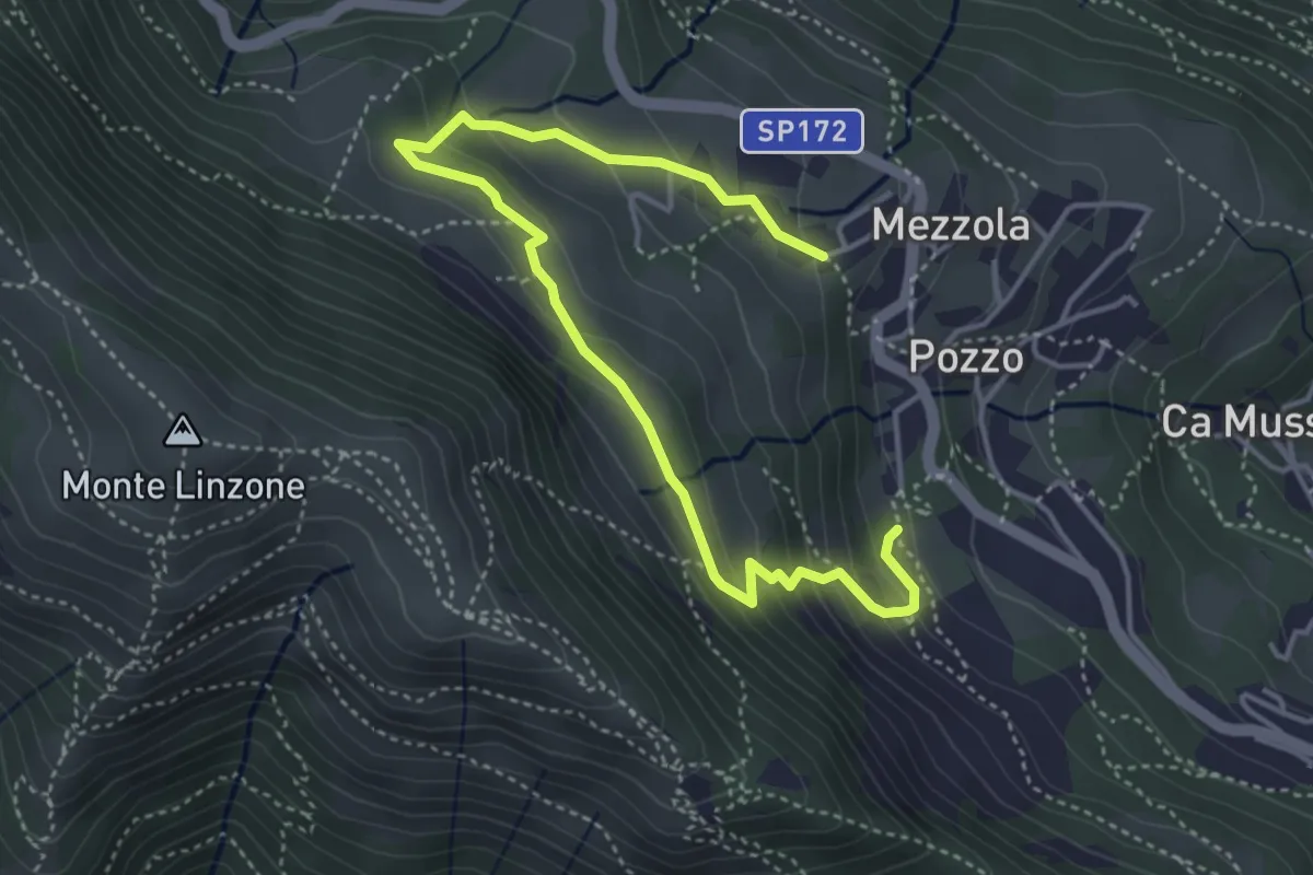
Medium · Trail
Sentiero dei Pascoli
5.2 km · ↑ 310 m · 1 h 54 min · 10 km away
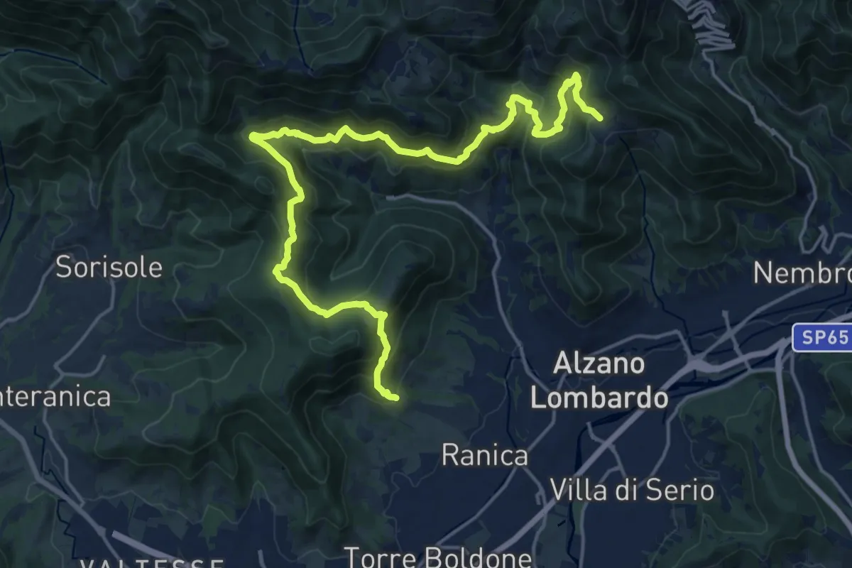
Demanding · Trail
San Rocco (Ranica) – Lonno (Nembro)
20.9 km · ↑ 1269 m · 7 h 41 min · 10 km away
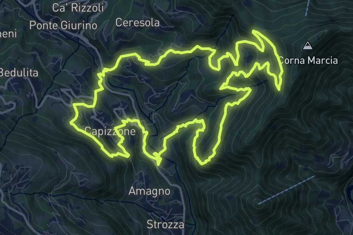
Demanding · Trail
Anello delle Contrade
14.2 km · ↑ 981 m · 5 h 41 min · 10 km away
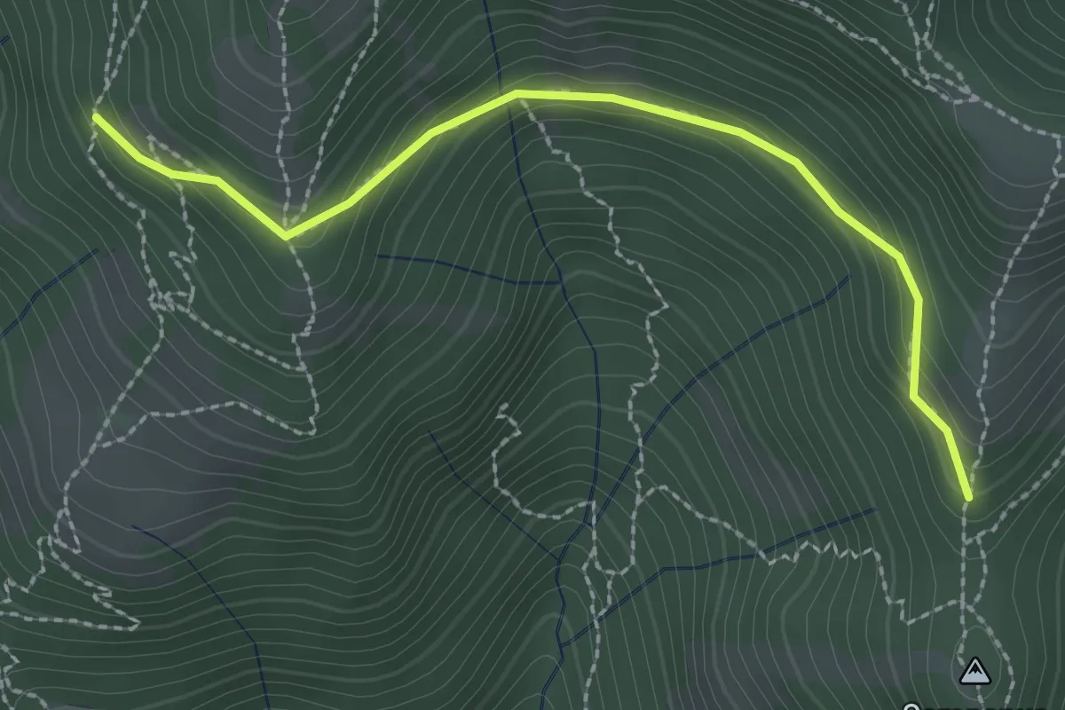
Medium · Trail
La Senna – Campanua
2.5 km · ↑ 151 m · 55 min · 10 km away
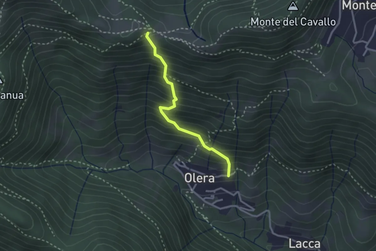
Medium · Trail
Olera (Alzano Lombardo) – Canto Basso
2.3 km · ↑ 347 m · 1 h 18 min · 11 km away
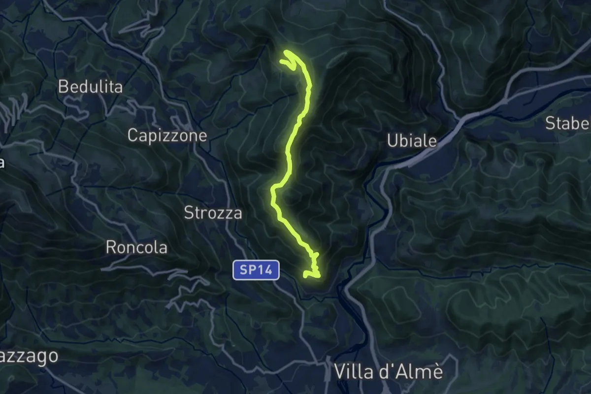
Medium · Trail
Sentiero del Partigiano Angelo Gotti
10.9 km · ↑ 778 m · 4 h 15 min · 11 km away
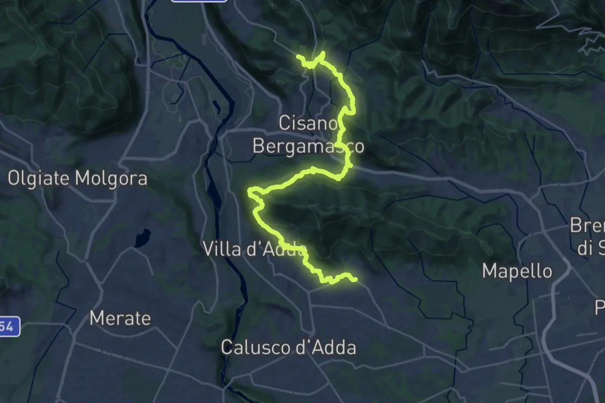
Medium · Trail
Sentiero Papa Giovanni XXIII
13.8 km · ↑ 408 m · 4 h 24 min · 11 km away
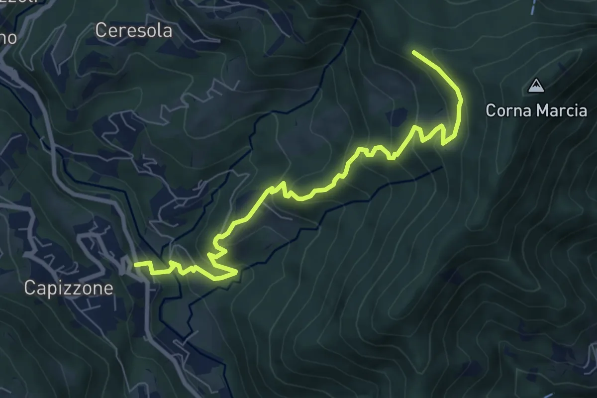
Medium · Trail
Medega (Capizzone) – Passo del Canto
7.9 km · ↑ 565 m · 3 h 5 min · 11 km away
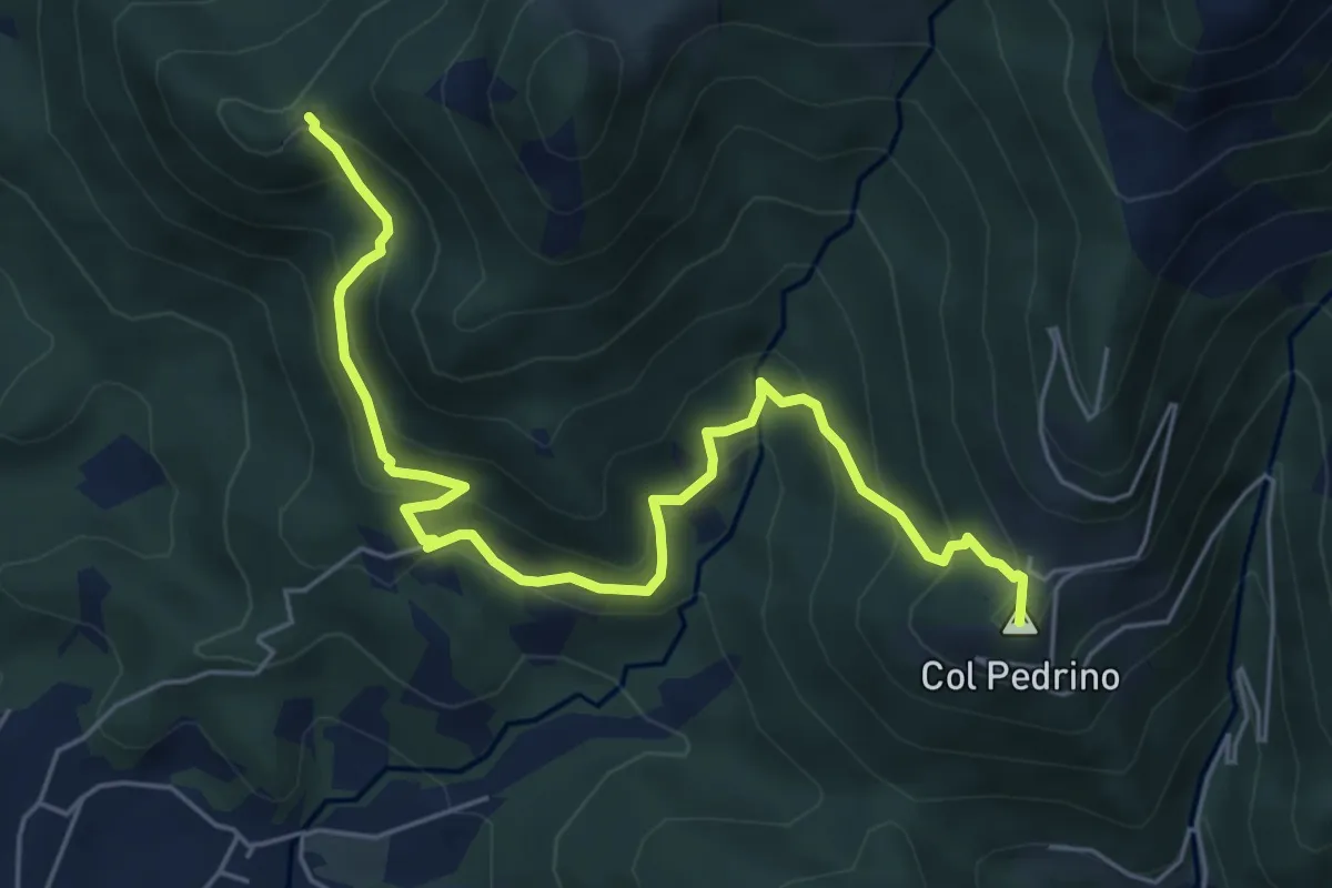
Medium · Summit
Località Foppa – Coldara
6.6 km · ↑ 509 m · 2 h 39 min · 11 km away
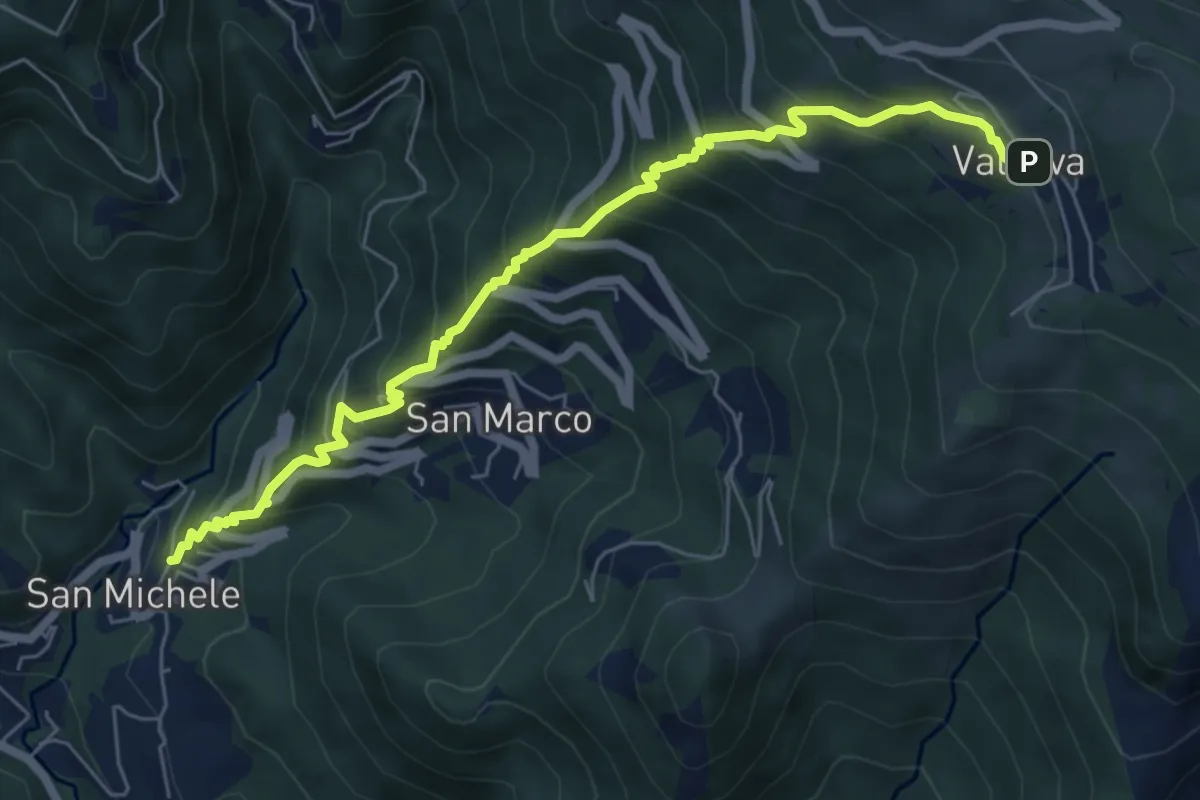
Medium · Trail
Torre de' Busi – Valcava
6.9 km · ↑ 790 m · 3 h 20 min · 11 km away
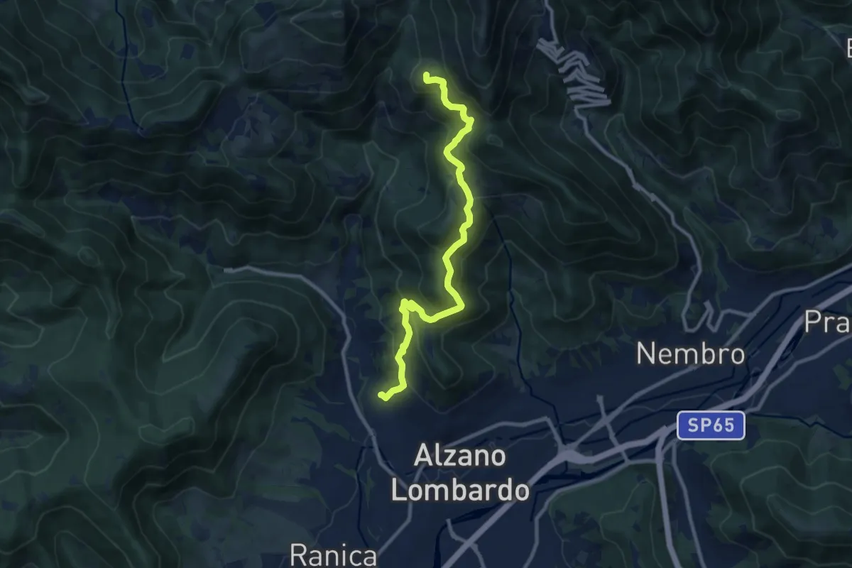
Medium · Summit
Nese (Alzano Lombardo) – Salmezza (Selvino)
9.9 km · ↑ 707 m · 3 h 52 min · 11 km away
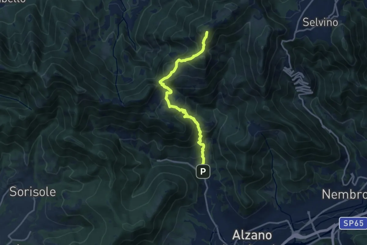
Demanding · Summit
Nese (Alzano Lombardo) – Salmezza (Selvino)
10.7 km · ↑ 906 m · 4 h 30 min · 11 km away
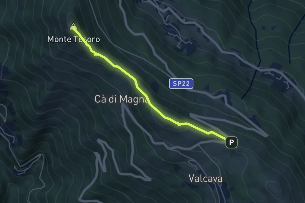
Medium · Summit
Ripetitori (Valcava) – Convento del Pertus
4.1 km · ↑ 216 m · 1 h 27 min · 12 km away
Medium · Summit
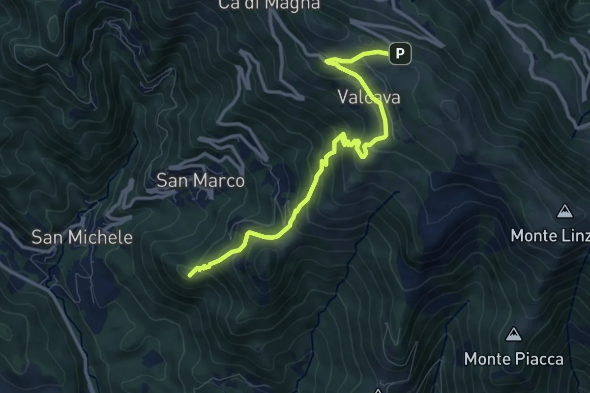
Torre de' Busi – Ripetitori (Valcava)
8.7 km · ↑ 620 m · 3 h 23 min · 12 km away
Medium · Summit
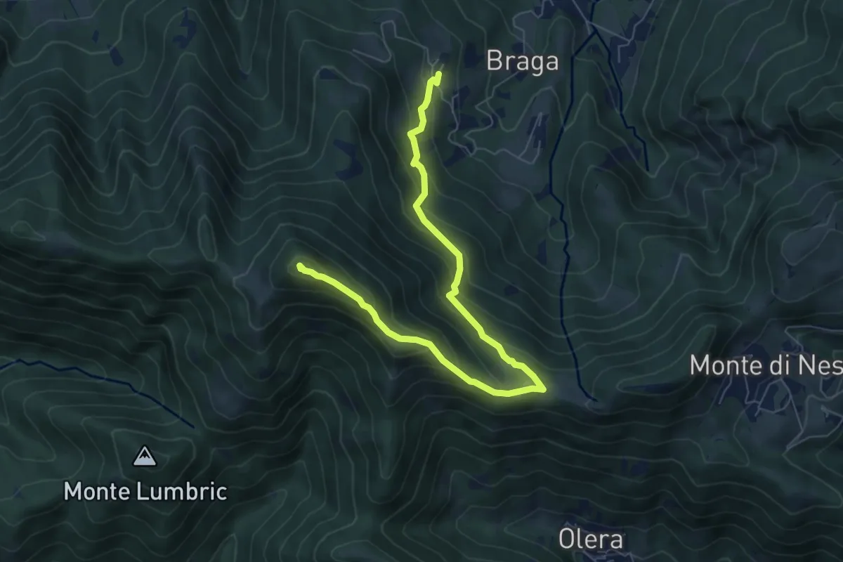
Cler (Sedrina) – Ripa (Poscante)
7.8 km · ↑ 573 m · 3 h 4 min · 12 km away
Medium · Trail
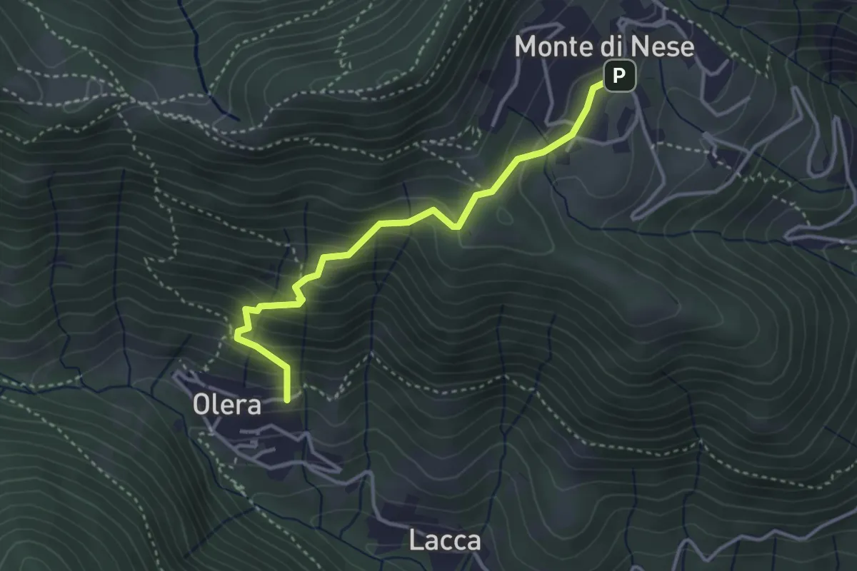
Olera (Alzano Lombardo) – Monte di Nese
3.4 km · ↑ 307 m · 1 h 29 min · 12 km away
Medium · Summit
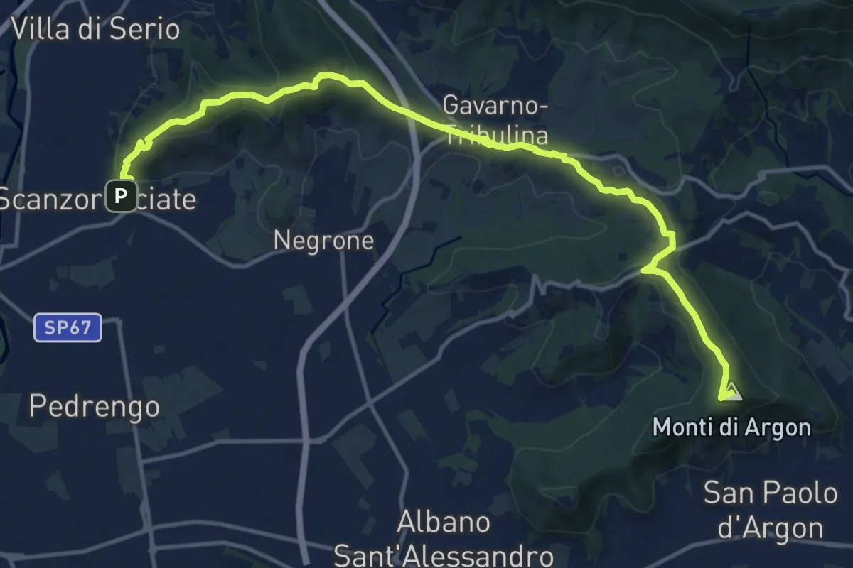
La Via delle Sorelle - Tappa 5 Traversa
7.5 km · ↑ 337 m · 2 h 31 min · 12 km away
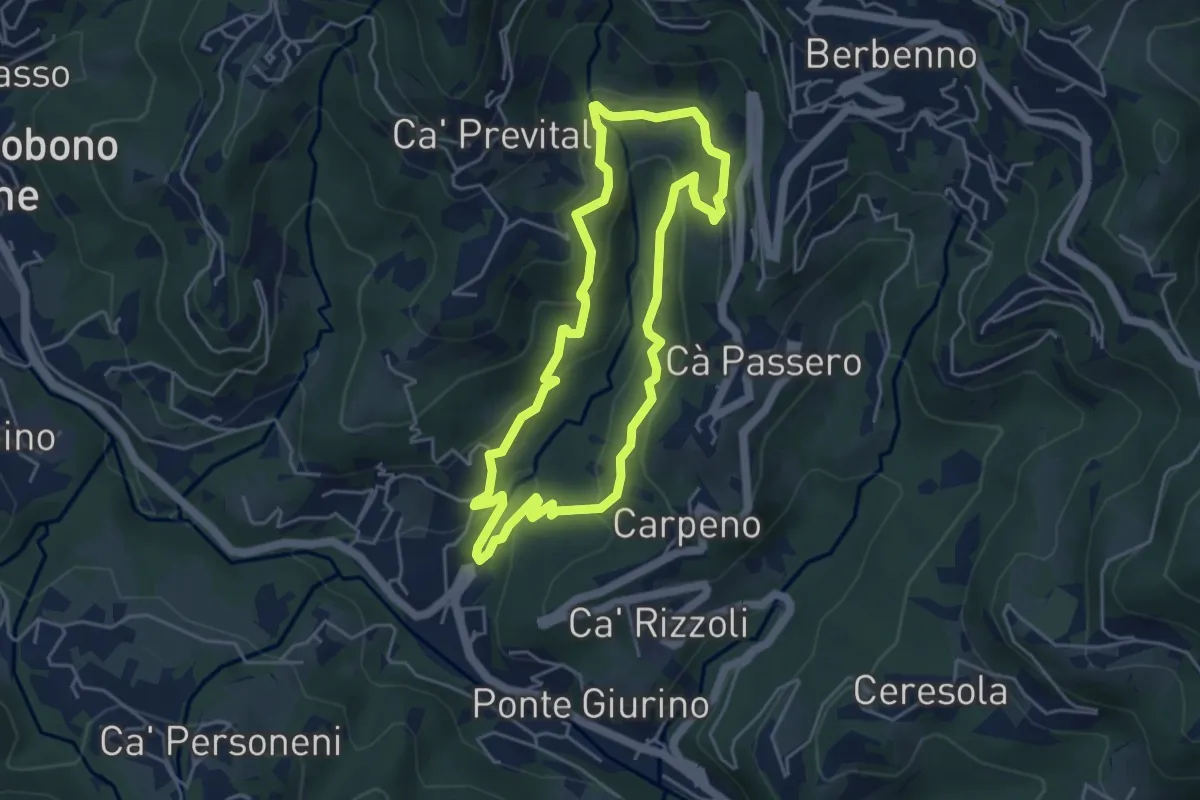
Easy · Trail
Valle del Brunone Percorso C
4.4 km · ↑ 243 m · 1 h 38 min · 12 km away
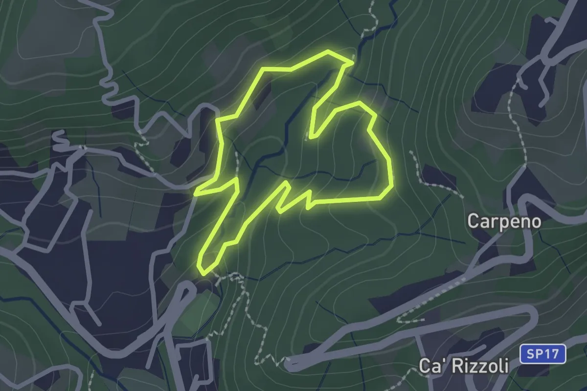
Easy · Trail
Valle del Brunone Percorso B
2.0 km · ↑ 92 m · 41 min · 12 km away
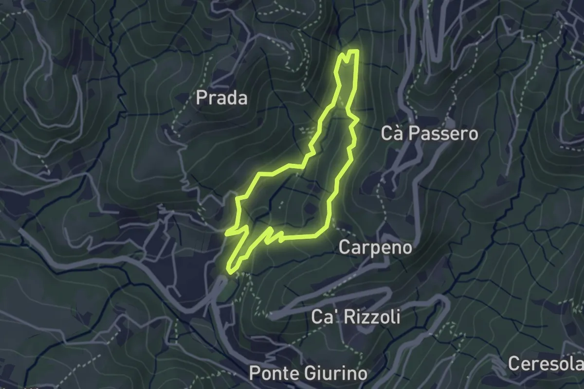
Easy · Trail
Valle del Brunone Percorso C1
3.0 km · ↑ 111 m · 59 min · 12 km away
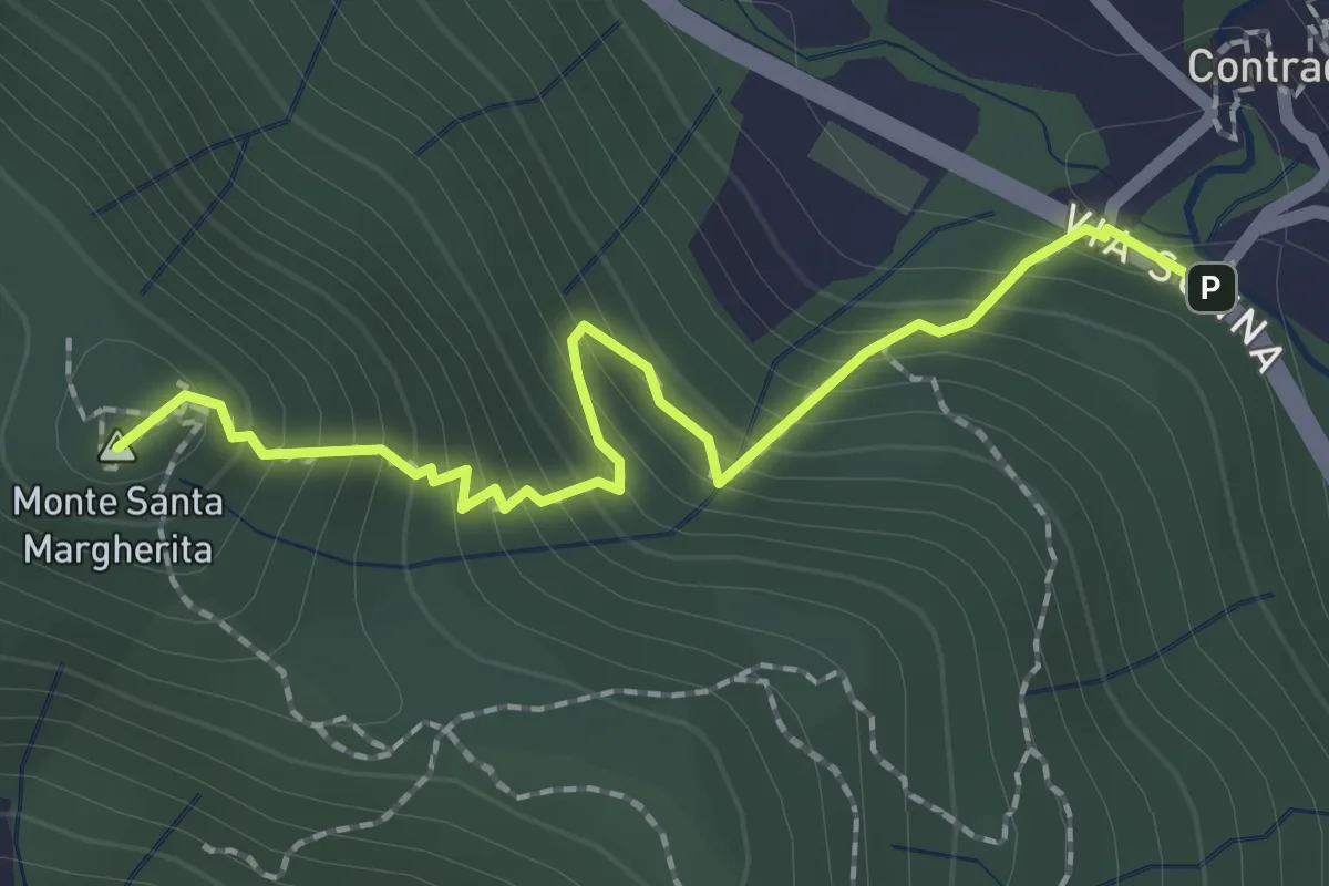
Medium · Summit
Contrada (Torre de' Busi) – S. Margherita (Monte Marenzo)
2.2 km · ↑ 259 m · 1 h 5 min · 12 km away
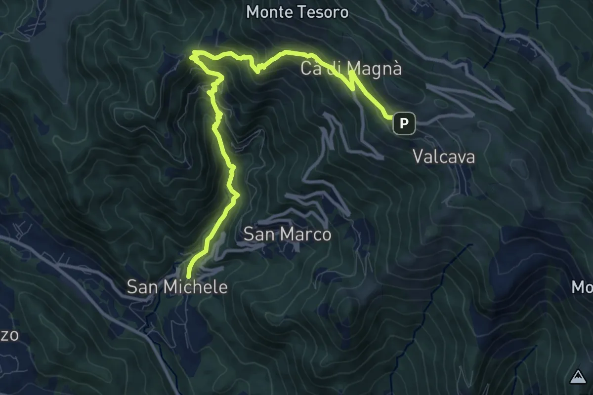
Demanding · Trail
Torre de' Busi – Valcava
10.8 km · ↑ 894 m · 4 h 29 min · 12 km away
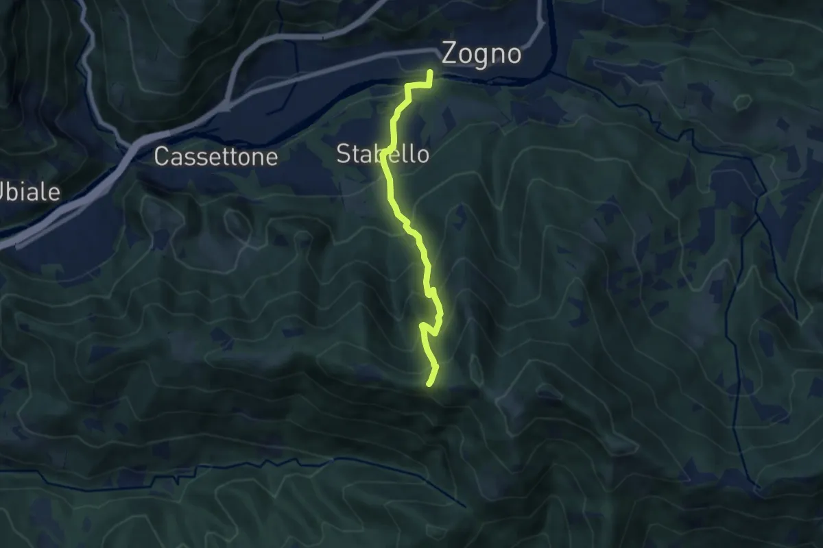
Demanding · Trail
Zogno – Casèl (incrocio 507)
6.1 km · ↑ 672 m · 2 h 54 min · 12 km away
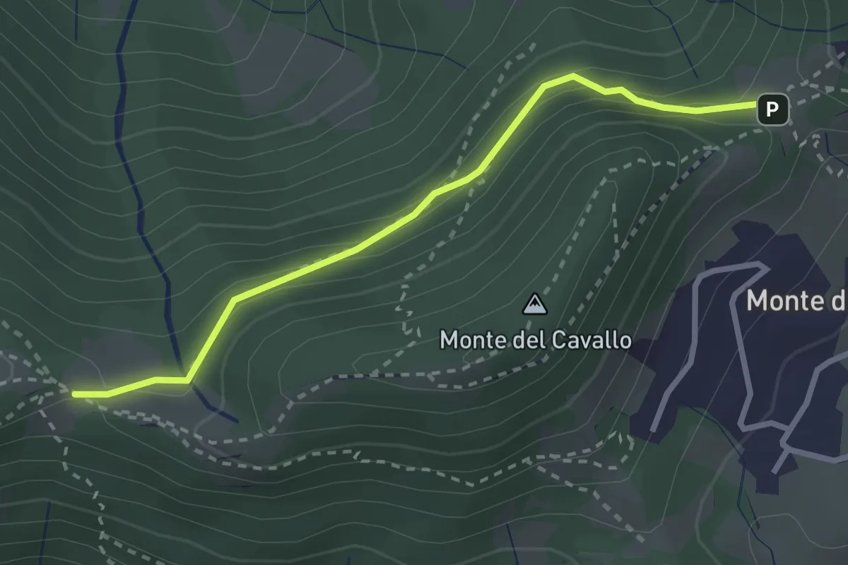
Easy · Trail
Canto Basso – Forcella di Monte di Nese
2.7 km · ↑ 240 m · 1 h 10 min · 12 km away
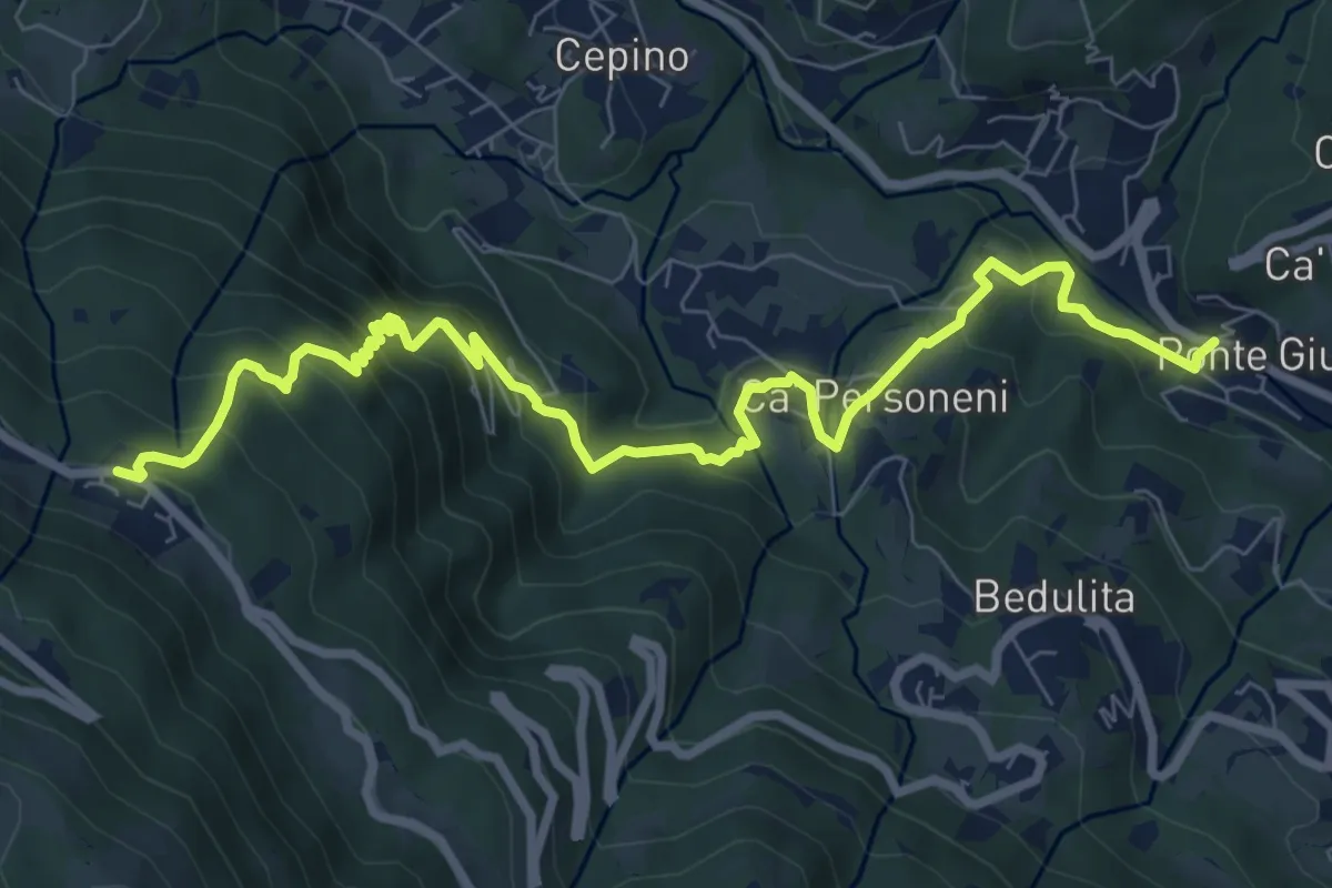
Medium · Trail
Ponte Giurino – Costa Imagna
9.8 km · ↑ 797 m · 4 h 2 min · 12 km away
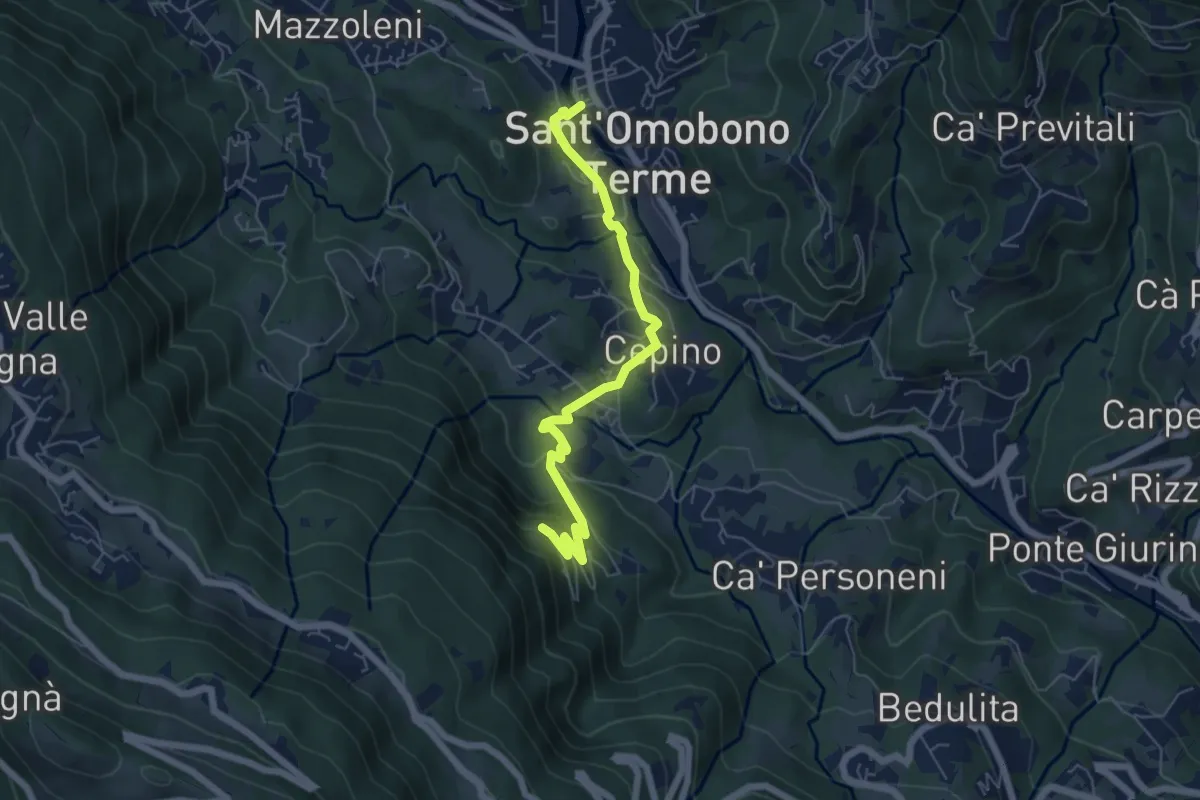
Easy · Trail
Selino Basso – Santuario della Cornabusa
6.0 km · ↑ 293 m · 2 h 3 min · 12 km away
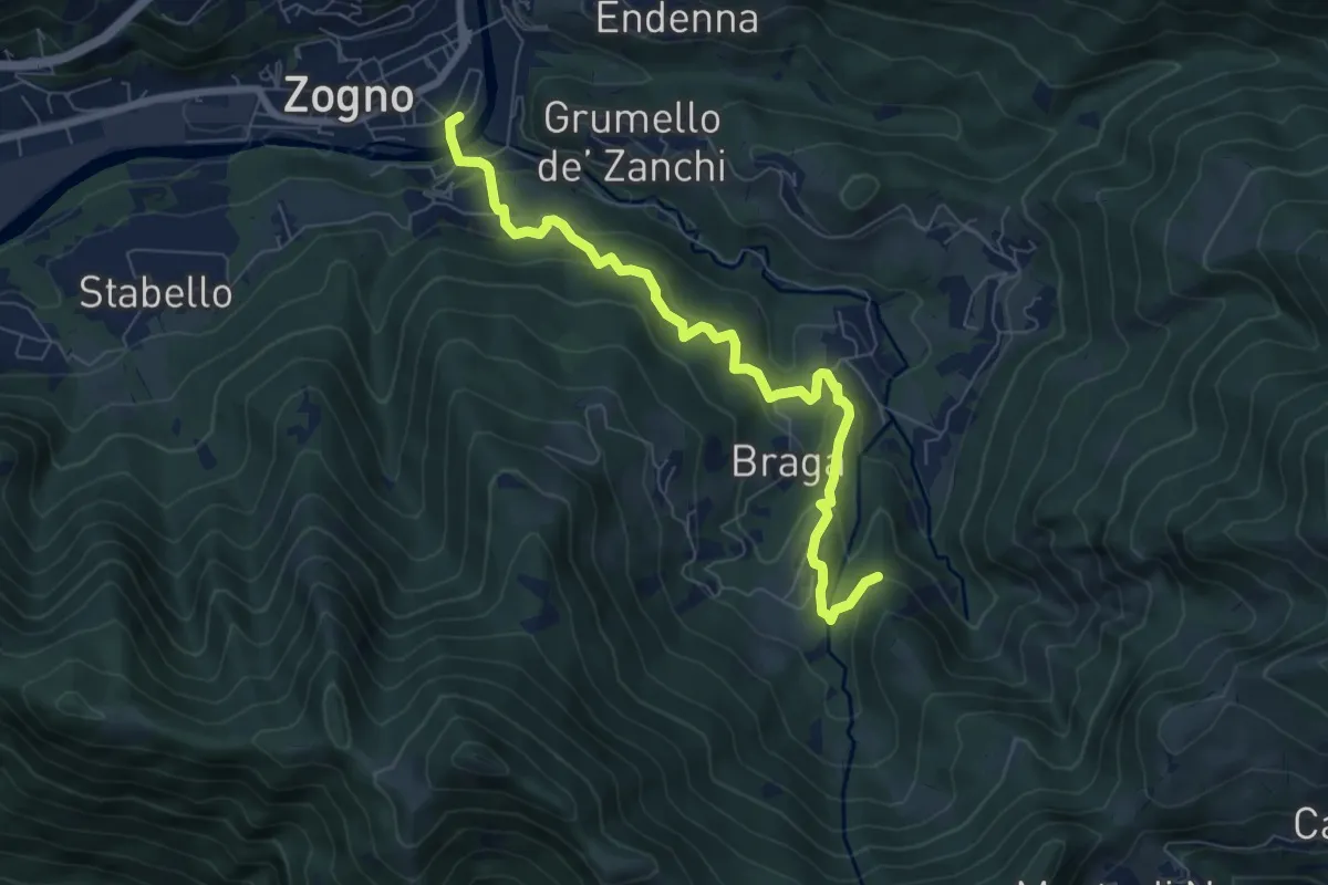
Medium · Trail
La via delle Castagne
7.6 km · ↑ 390 m · 2 h 38 min · 12 km away
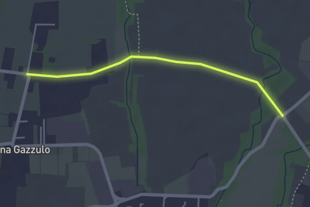
Easy · Trail
Percorso n° 6
3.4 km · ↑ 5 m · 49 min · 12 km away
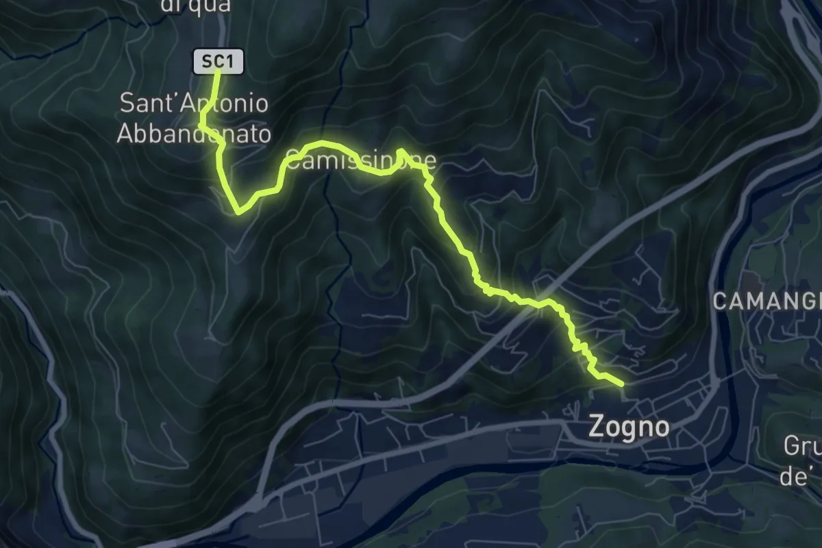
Medium · Trail
Zogno – Castignola
8.2 km · ↑ 688 m · 3 h 25 min · 12 km away
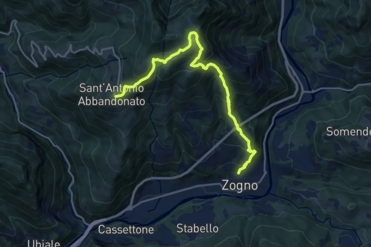
Demanding · Trail
Zogno – S. Antonio Abbandonato
11.8 km · ↑ 1031 m · 5 h 1 min · 12 km away
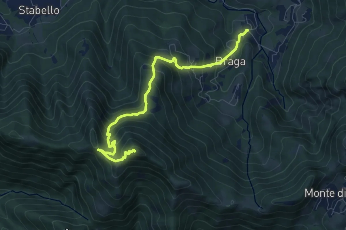
Medium · Summit
Poscante – Canto Alto
8.5 km · ↑ 775 m · 3 h 41 min · 12 km away
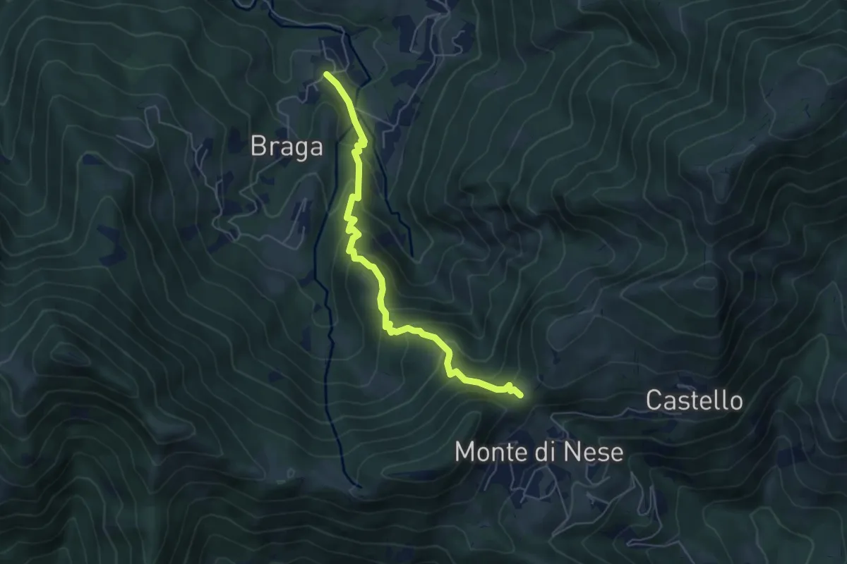
Medium · Trail
Poscante – Forcella di Monte di Nese
5.7 km · ↑ 465 m · 2 h 21 min · 12 km away
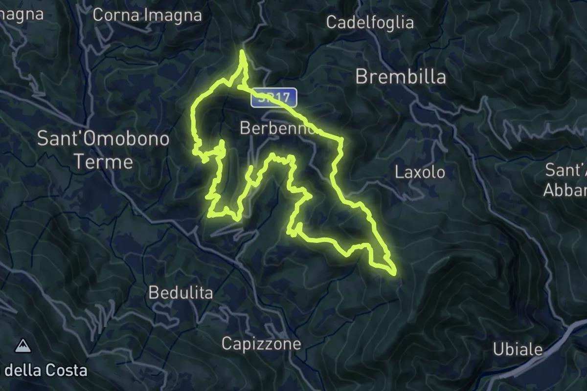
Demanding · Summit
Antiche Tracce
17.5 km · ↑ 1026 m · 6 h 37 min · 12 km away
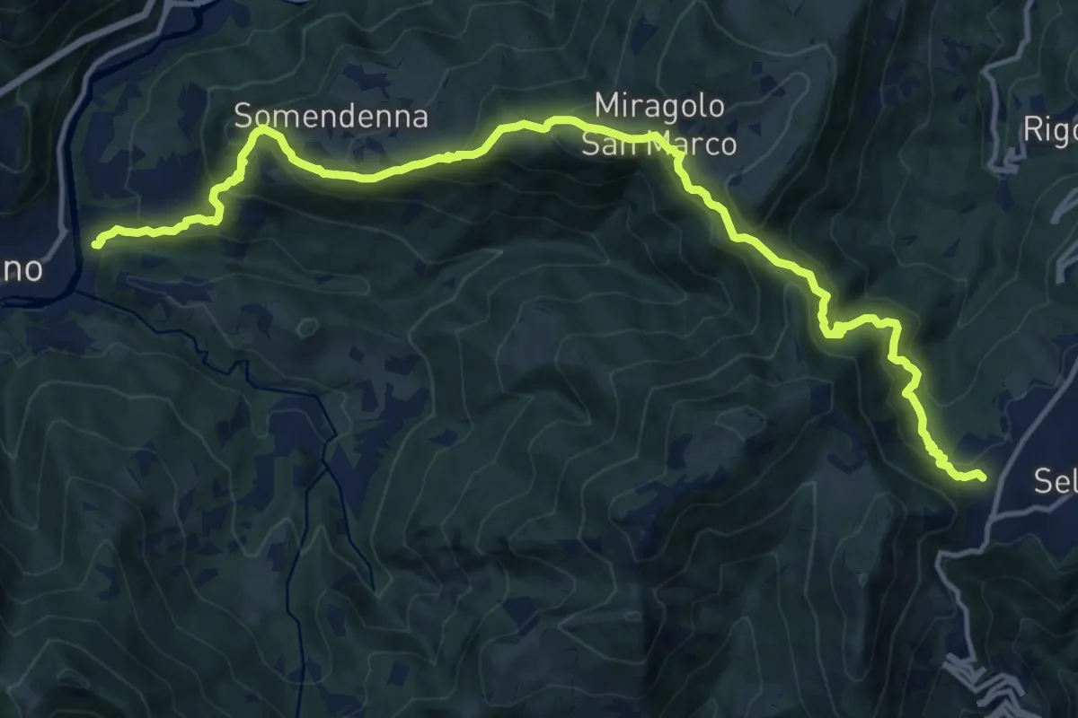
Demanding · Trail
Selvino – Zogno
16.8 km · ↑ 1152 m · 6 h 28 min · 13 km away
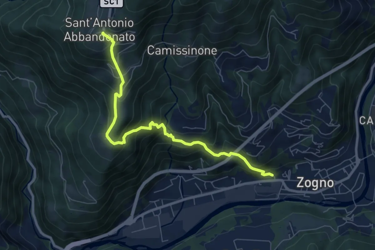
Medium · Trail
Zogno (via Sottocorna) – S. Antonio Abbandonato
7.2 km · ↑ 729 m · 3 h 16 min · 13 km away
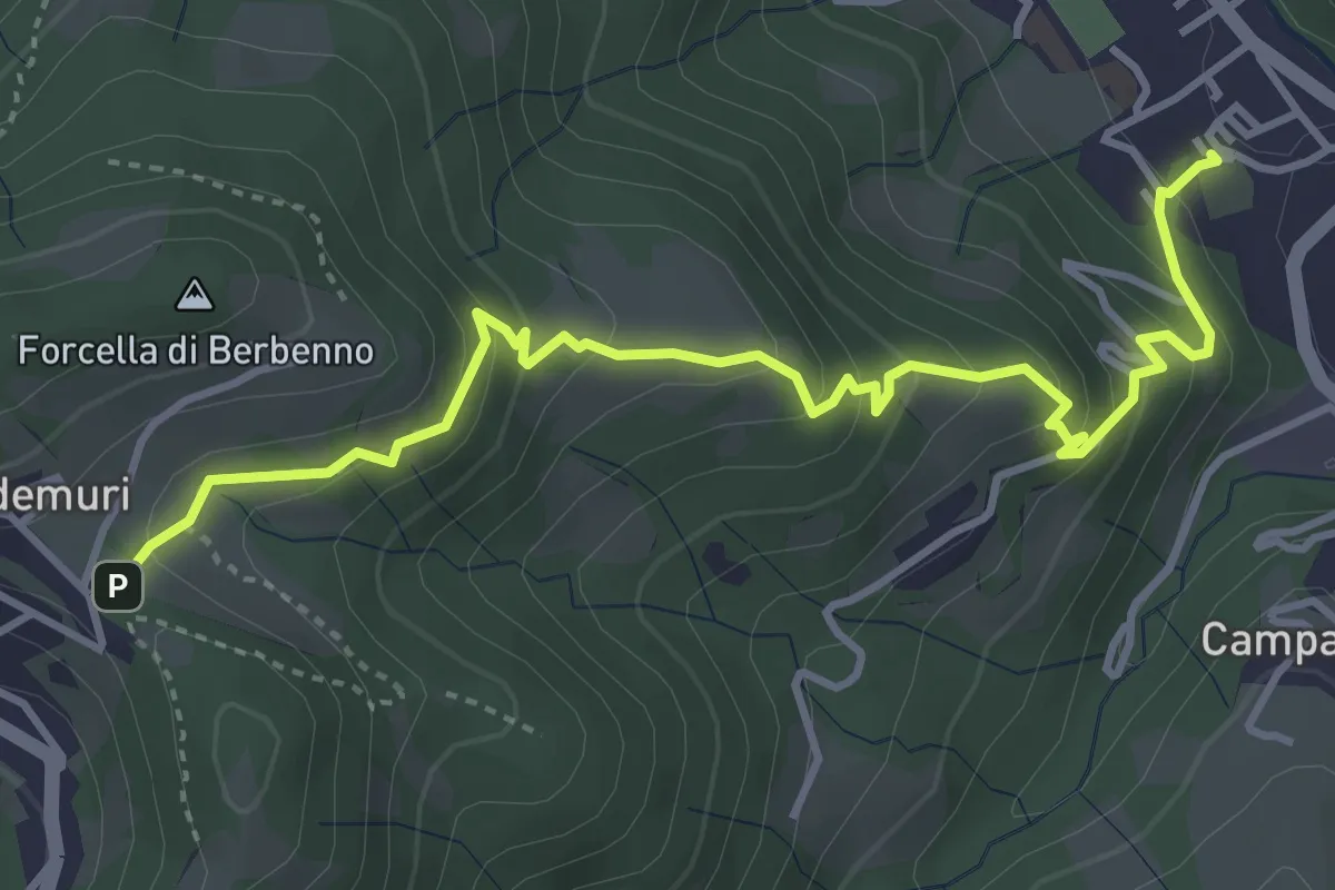
Medium · Trail
Brembilla – Forcella di Berbenno
4.6 km · ↑ 346 m · 1 h 50 min · 13 km away
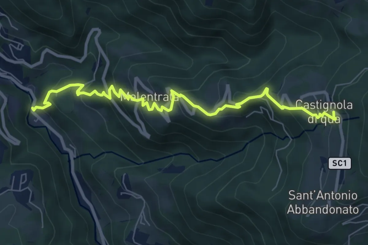
Medium · Trail
Magnavacche – Castignola di quà
7.3 km · ↑ 582 m · 2 h 59 min · 13 km away
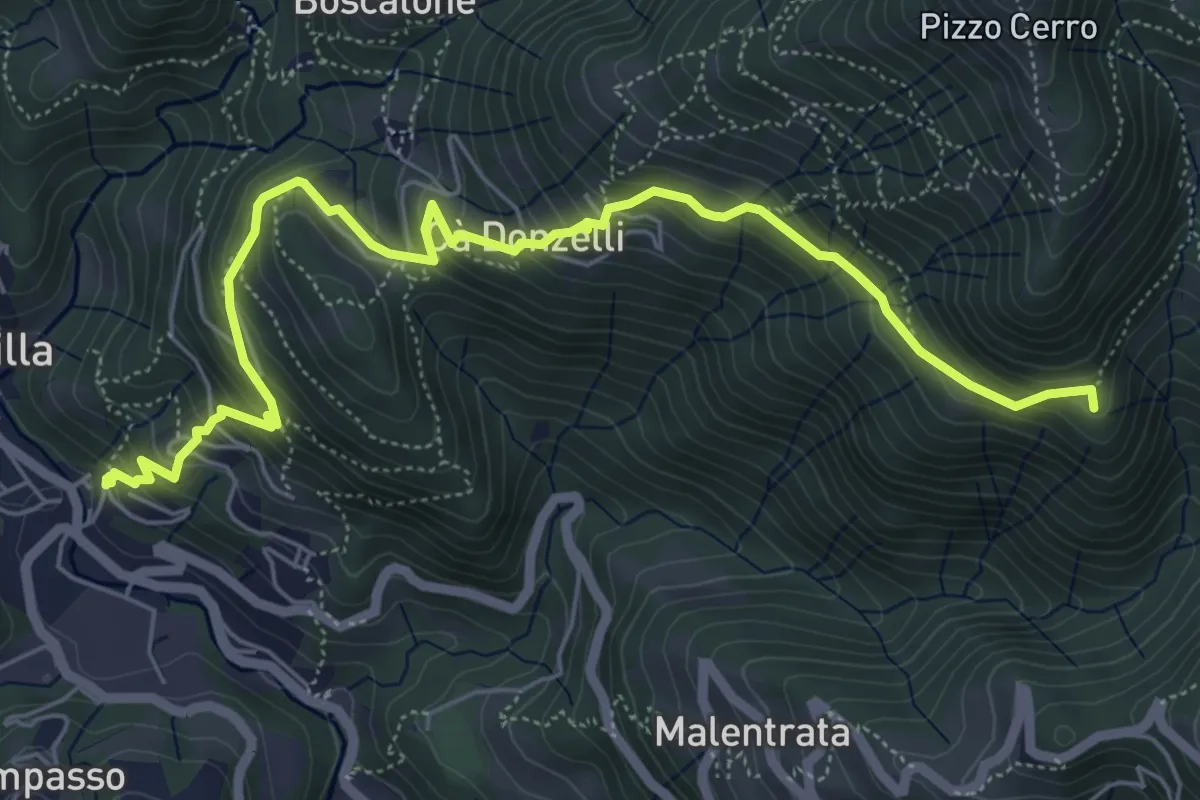
Medium · Summit
Brembilla – Catremerio
7.1 km · ↑ 585 m · 2 h 57 min · 14 km away
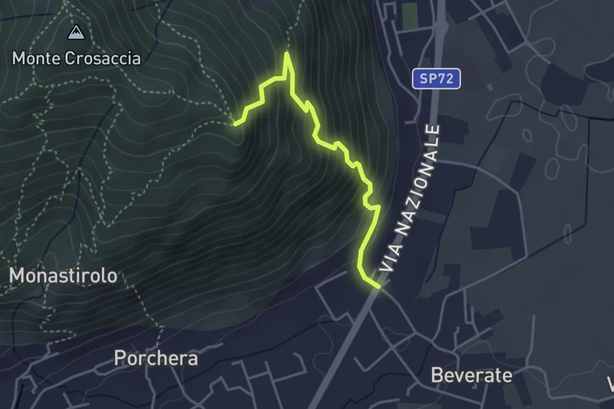
Medium · Trail
Beverate – Crosaccia
3.3 km · ↑ 384 m · 1 h 37 min · 14 km away
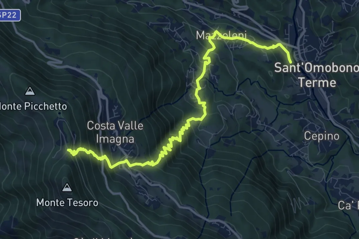
Demanding · Trail
Ca' Mazzoleni – Forcella Alta
12.2 km · ↑ 902 m · 4 h 50 min · 14 km away
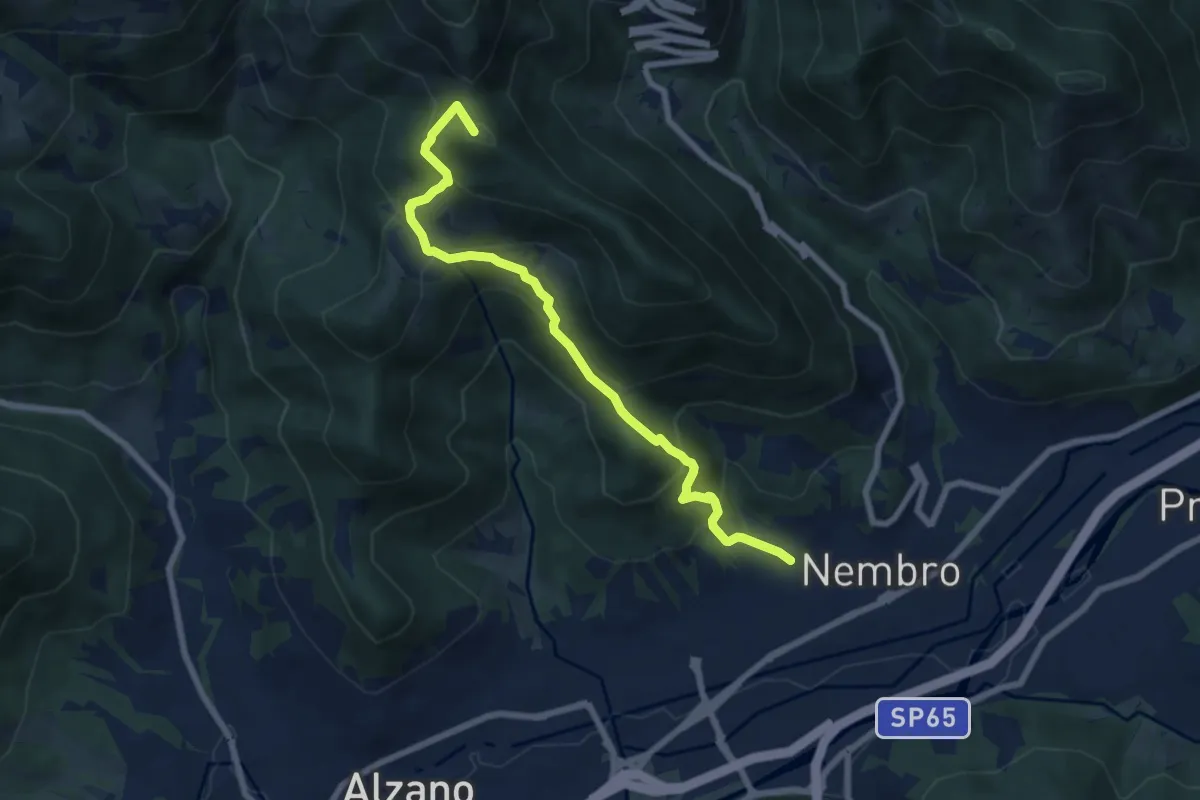
Medium · Summit
Madonna dello Zuccarello (Nembro) – Selvino
7.5 km · ↑ 583 m · 3 h 3 min · 14 km away
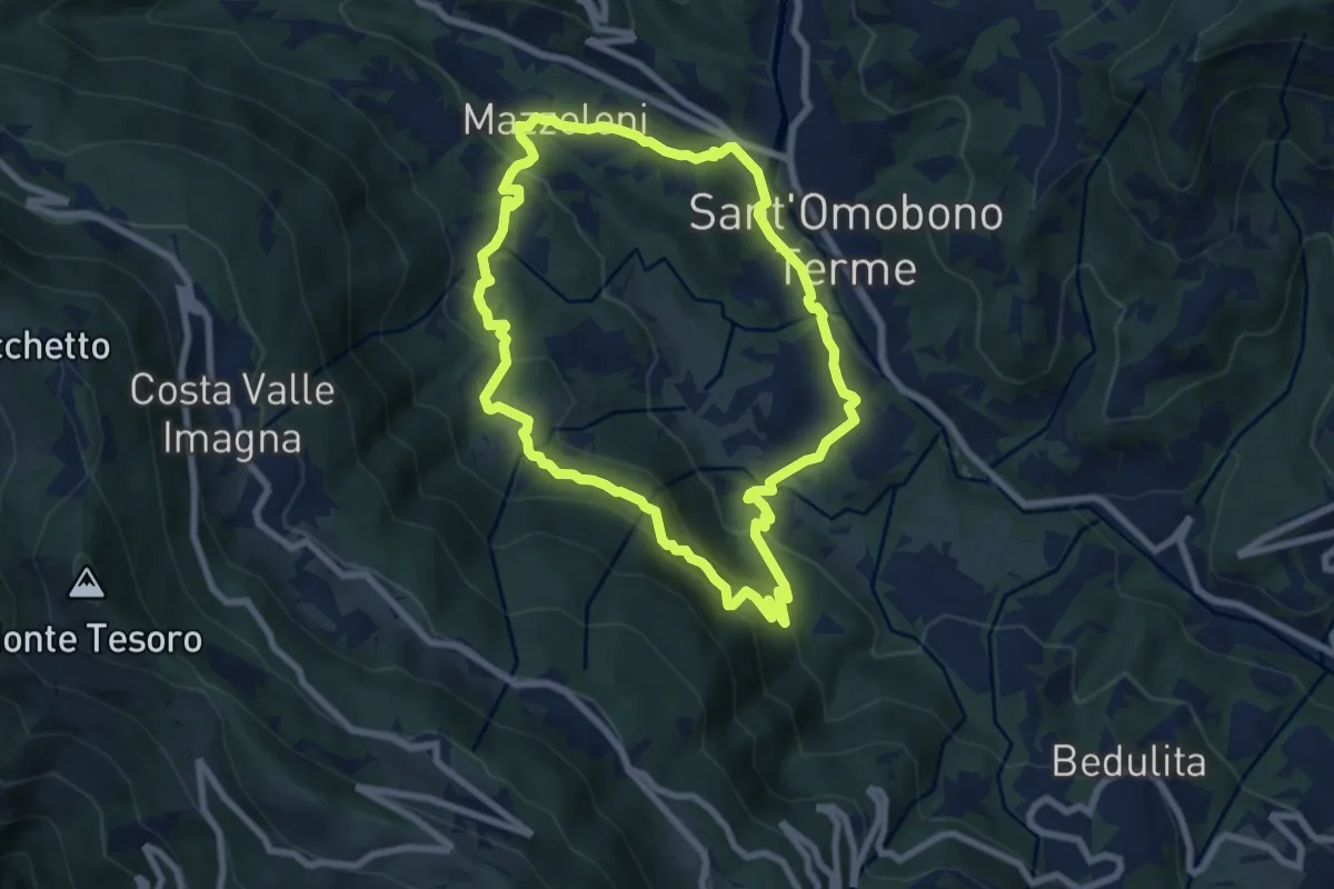
Medium · Trail
Cammino dei Petali
7.5 km · ↑ 428 m · 2 h 48 min · 14 km away
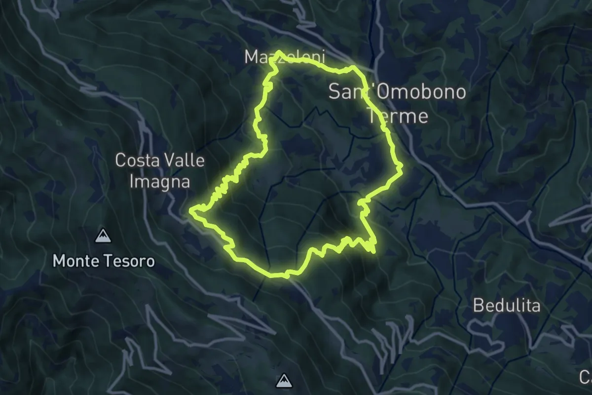
Medium · Trail
Sentiero del Dono
10.7 km · ↑ 707 m · 4 h 12 min · 14 km away
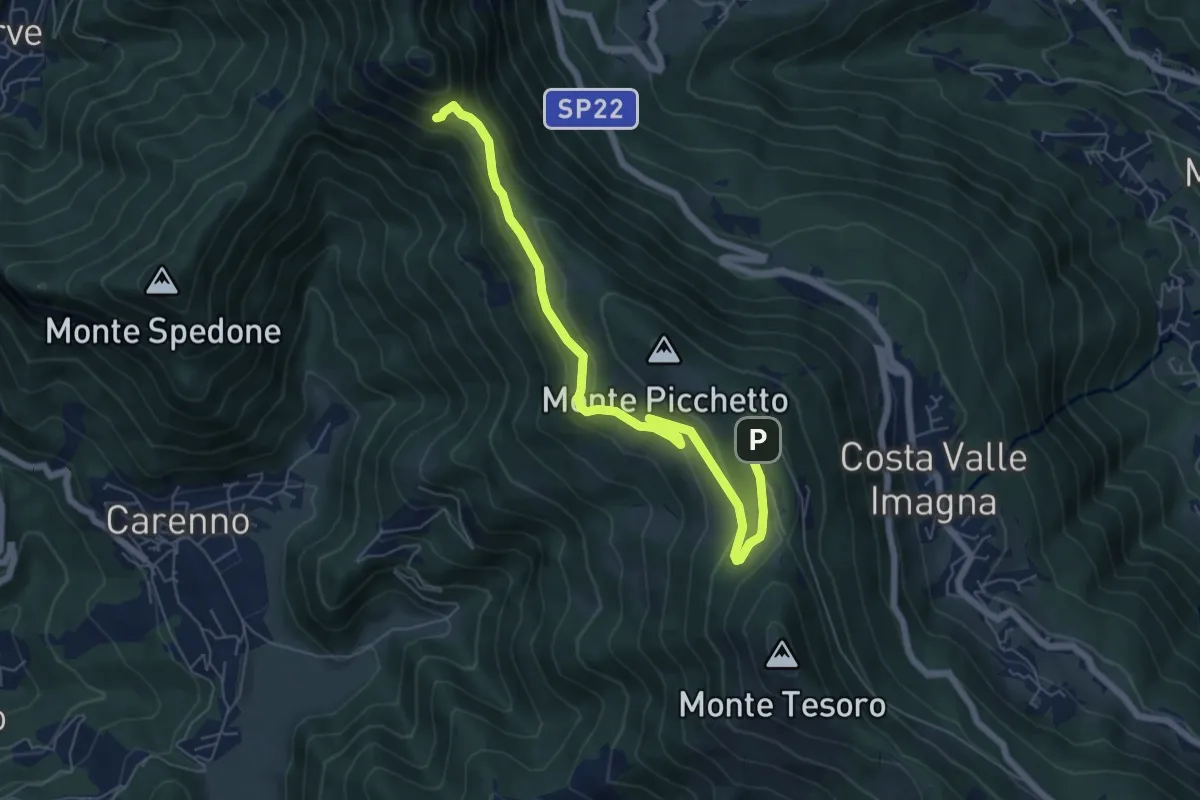
Medium · Trail
Percorso didattico naturalistico del Pertüs
7.0 km · ↑ 262 m · 2 h 13 min · 14 km away
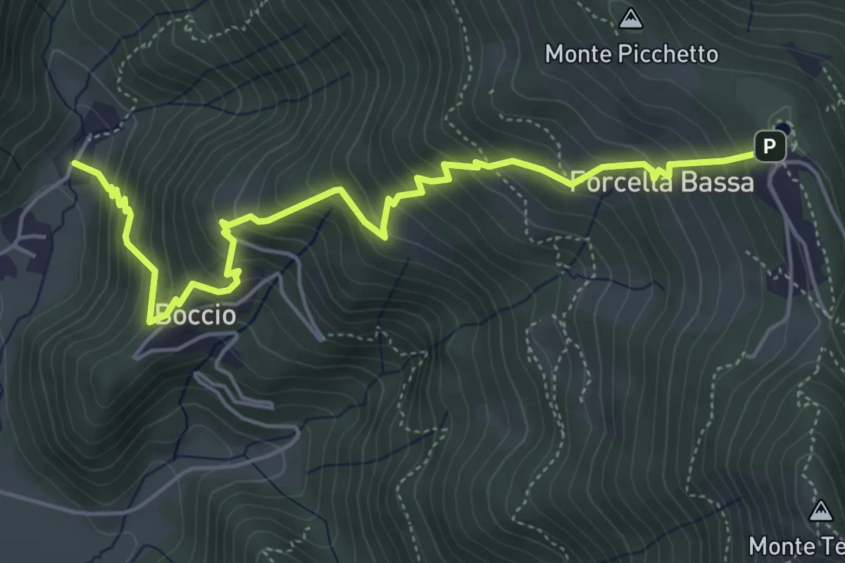
Medium · Trail
Carenno – Forcella Alta
5.8 km · ↑ 631 m · 2 h 45 min · 14 km away