Trails near Pontecorvo
49 hikes starting within 15 km, nearest first.
Nearest first, page 1 of 2
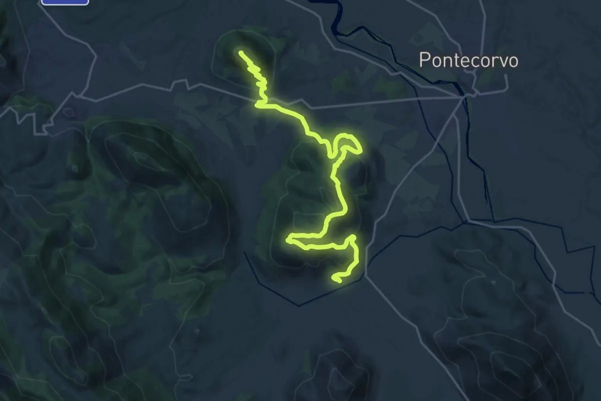
Medium · Trail
Dalla Guerra al Tabacco
12.7 km · ↑ 786 m · 4 h 40 min · 6 km away
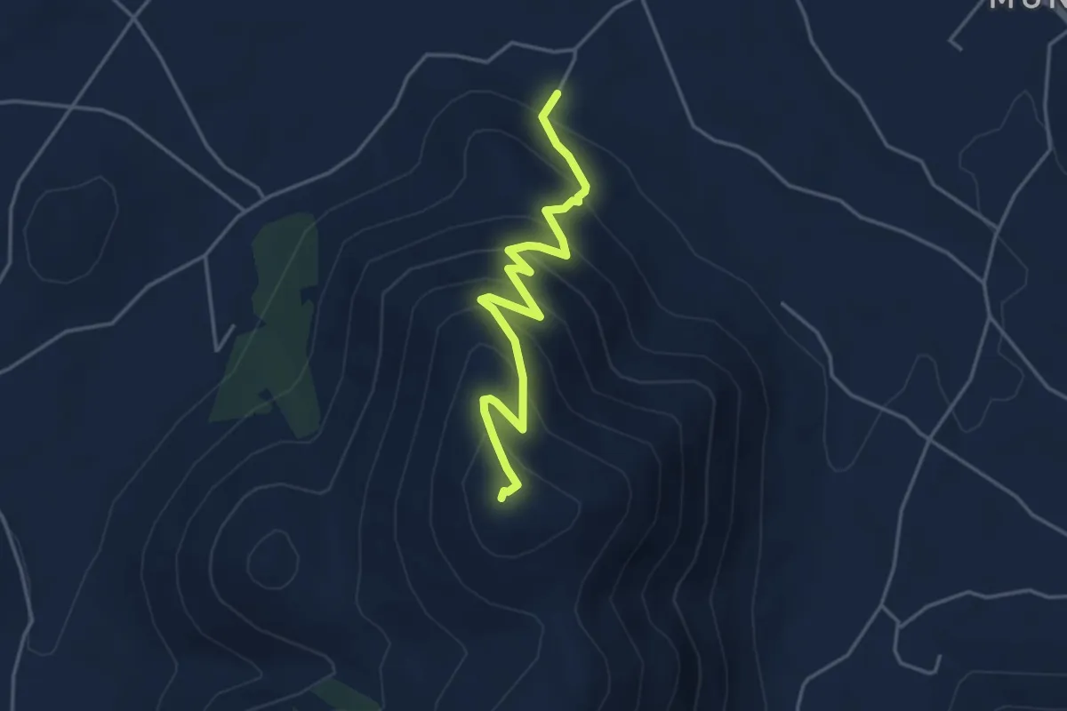
Medium · Trail
Madonna di Monte Vetro
4.5 km · ↑ 379 m · 1 h 53 min · 7 km away
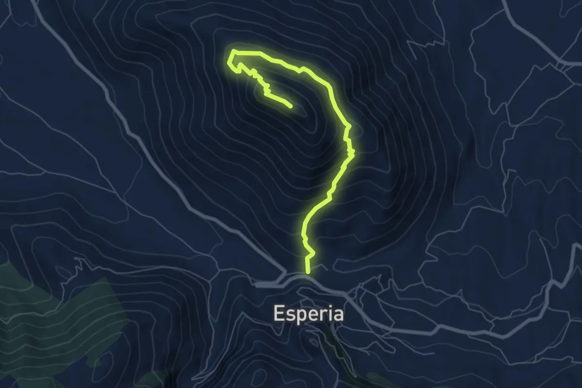
Medium · Trail
Esperia-Monte D'Oro
7.5 km · ↑ 643 m · 3 h 10 min · 8 km away
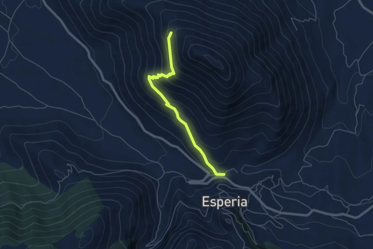
Medium · Trail
Esperia – Monte D'Oro (intersezione con CAI966)
5.2 km · ↑ 354 m · 2 h · 8 km away
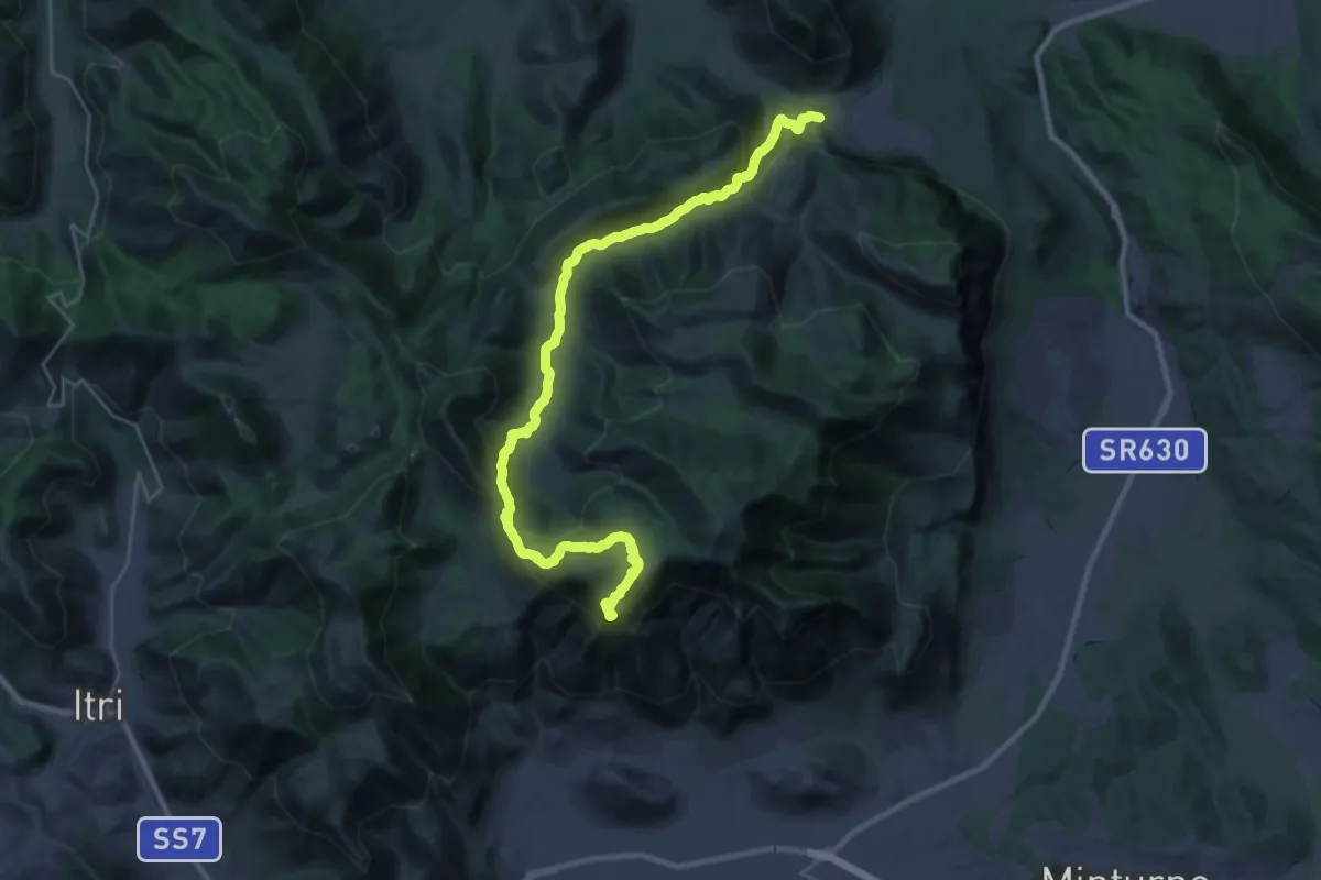
Demanding · Summit
Cammino di San Filippo Neri - Tappa 5
16.4 km · ↑ 1004 m · 5 h 52 min · 9 km away
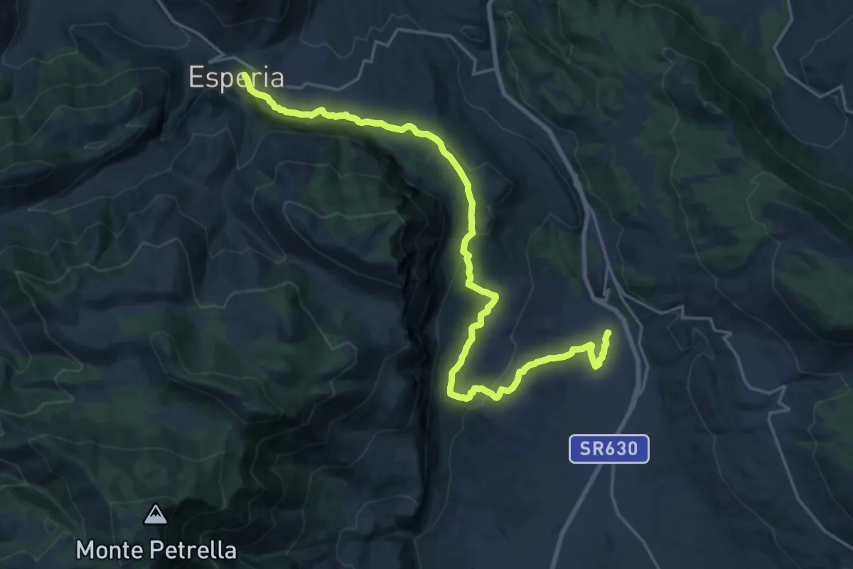
Medium · Pilgrim path
Cammino di San Filippo Neri - Tappa 4
12.2 km · ↑ 203 m · 3 h 38 min · 9 km away
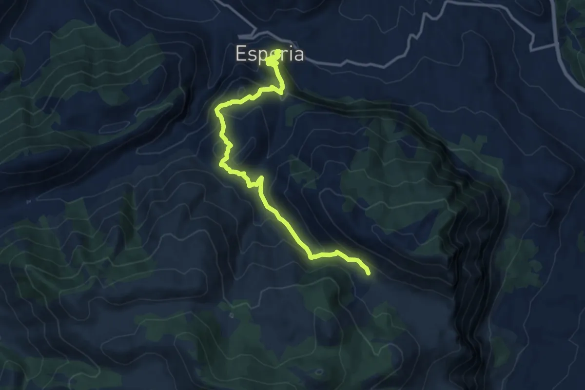
Medium · Trail
Esperia – Valle Gaetana CAI970
12.8 km · ↑ 748 m · 4 h 38 min · 9 km away
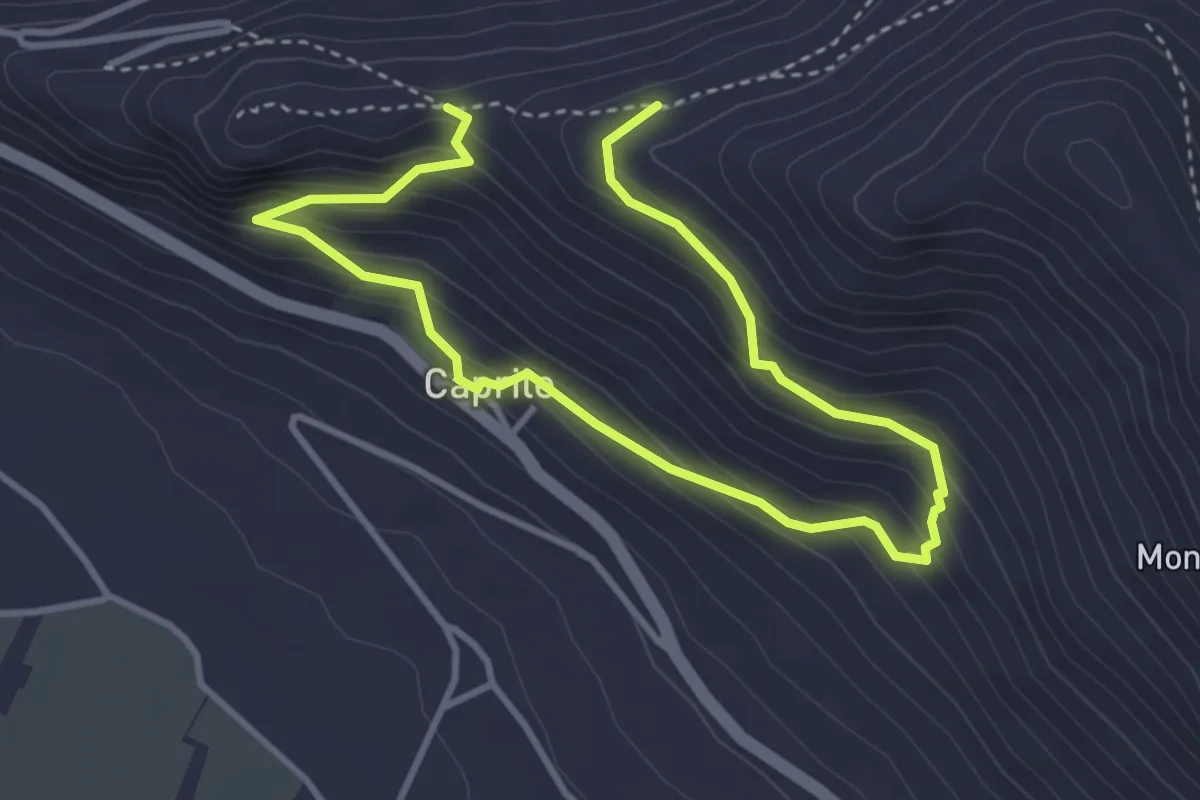
Medium · Trail
Monte Asprano - Caprile SB5
5.7 km · ↑ 459 m · 2 h 20 min · 10 km away
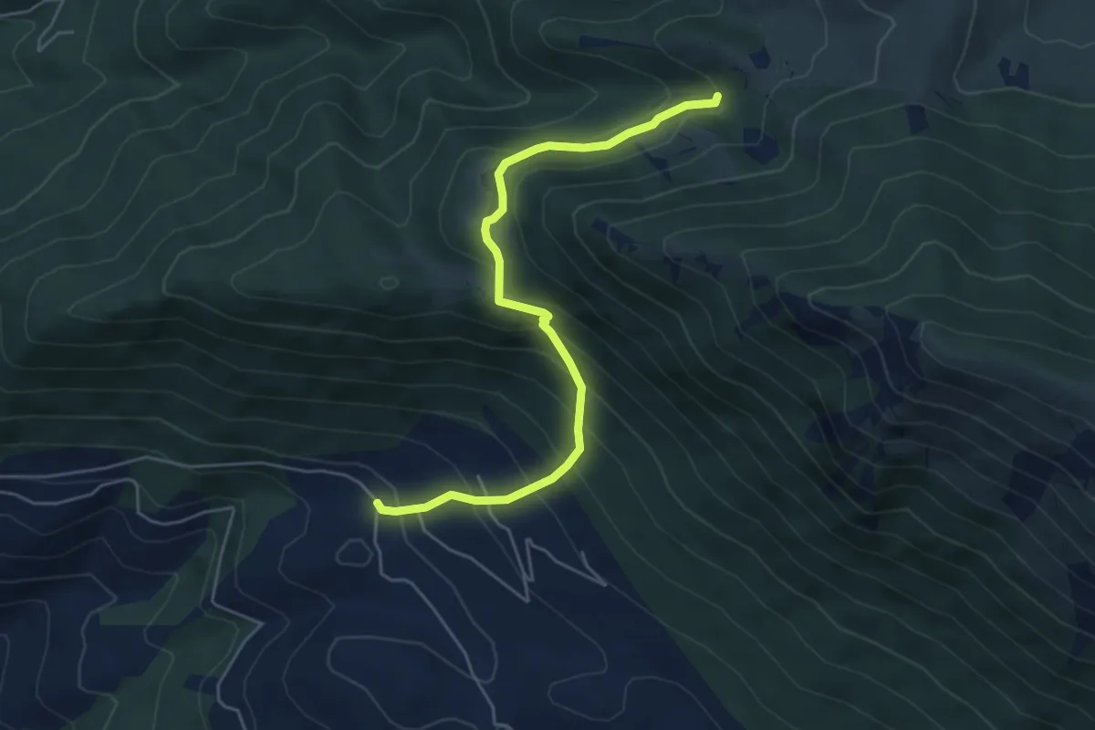
Medium · Trail
La Forma - Fosso Omo di Cairo
5.8 km · ↑ 519 m · 2 h 29 min · 10 km away
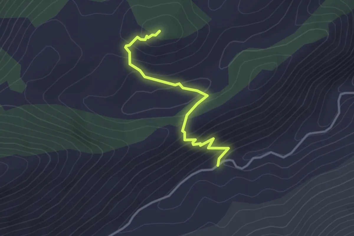
Easy · Trail
Rio Polleca-Monte Lago
3.1 km · ↑ 243 m · 1 h 16 min · 10 km away
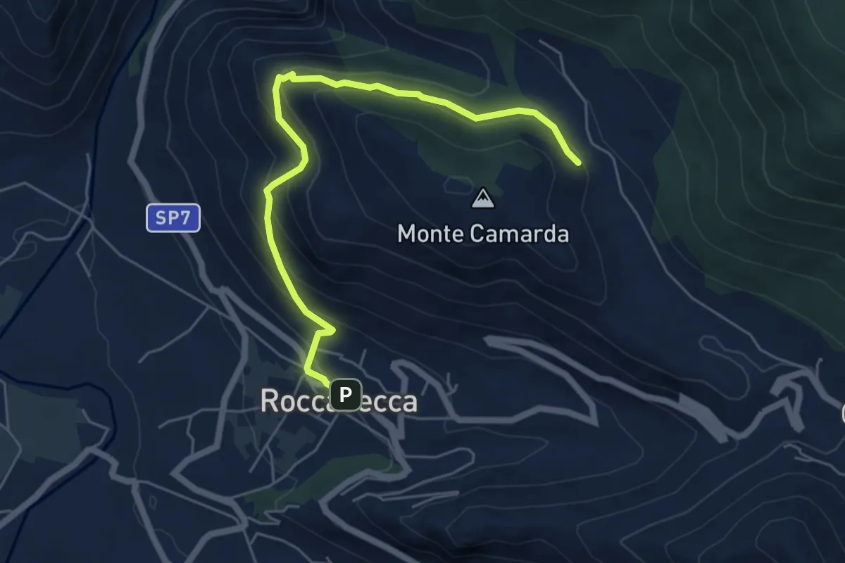
Medium · Trail
Sentieri del Brigante - SB1
6.1 km · ↑ 390 m · 2 h 17 min · 10 km away
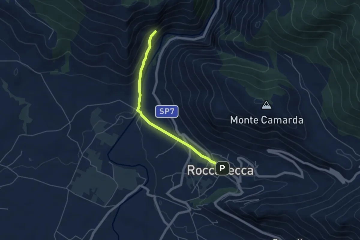
Easy · Trail
Eremo del Santo Spirito SB3
4.8 km · ↑ 215 m · 1 h 36 min · 10 km away
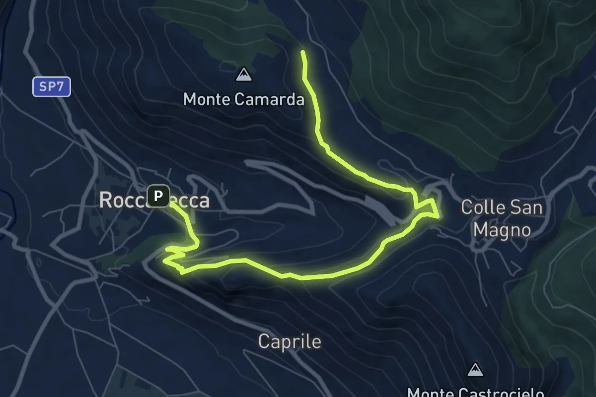
Medium · Trail
Località Varciosa – Roccasecca (Via Roma)
9.3 km · ↑ 369 m · 2 h 59 min · 10 km away
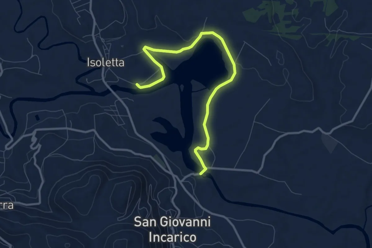
Medium · Trail
Semi -anello Lago di San Giovanni in Carico
9.8 km · ↑ 111 m · 2 h 34 min · 10 km away
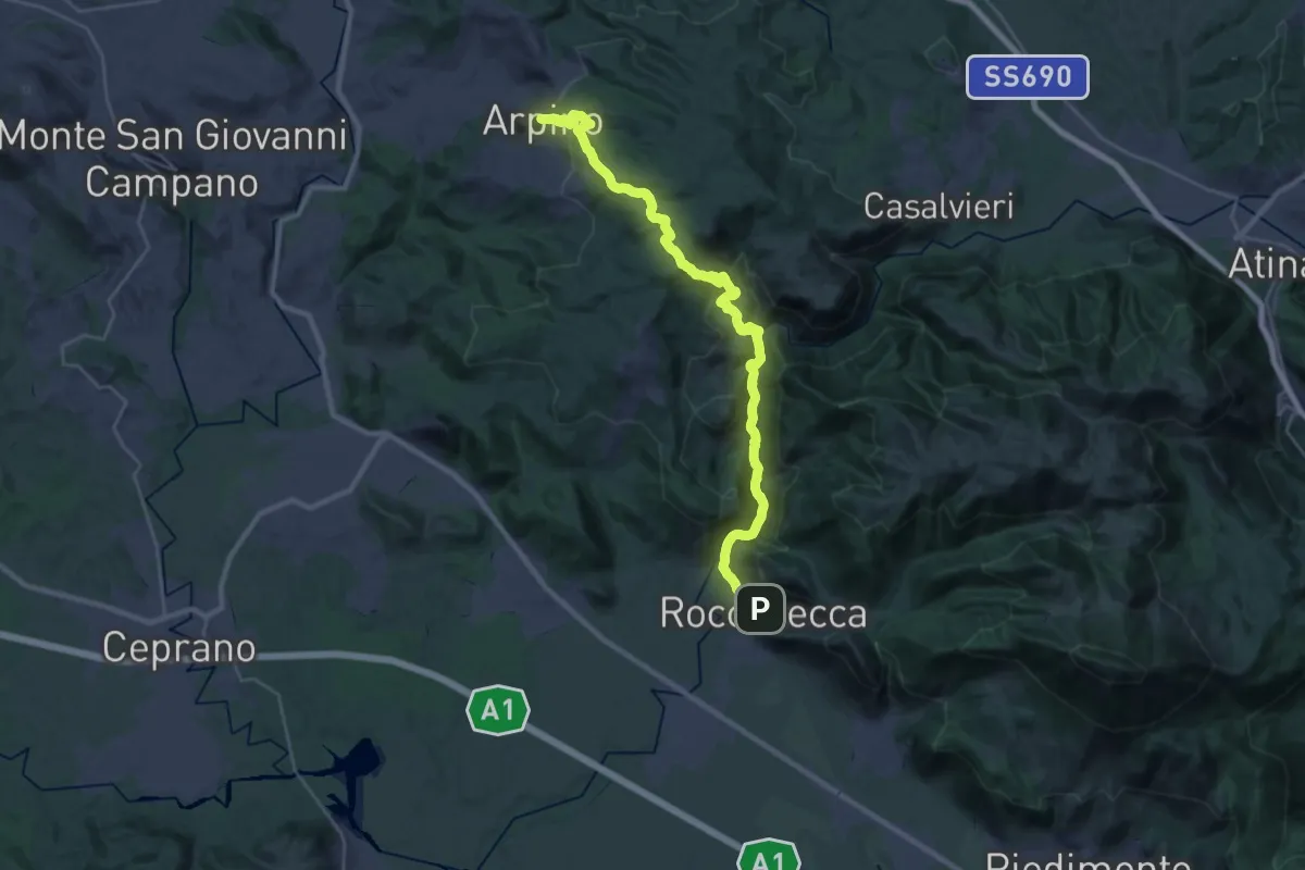
Demanding · Trail
Cammino di San Benedetto - Tappa 15
17.5 km · ↑ 934 m · 6 h 18 min · 10 km away
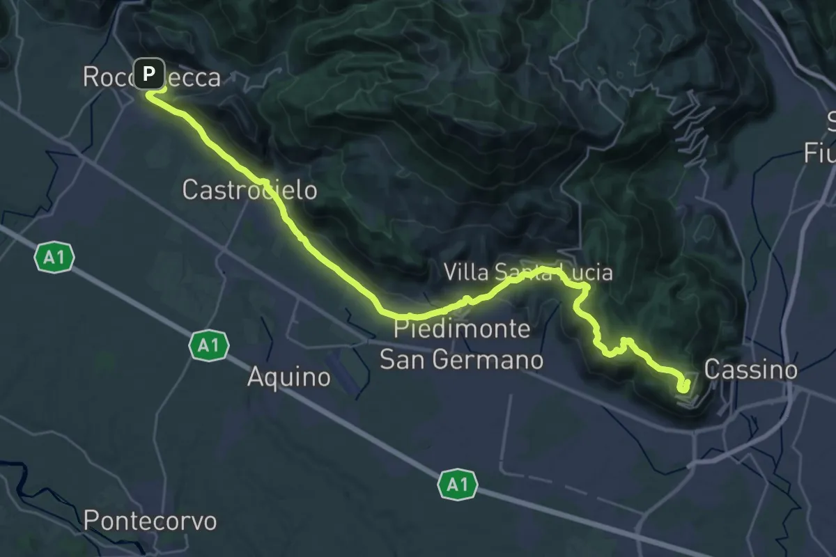
Demanding · Summit
Cammino di San Benedetto - Tappa 16
37.5 km · ↑ 1032 m · 11 h 5 min · 10 km away
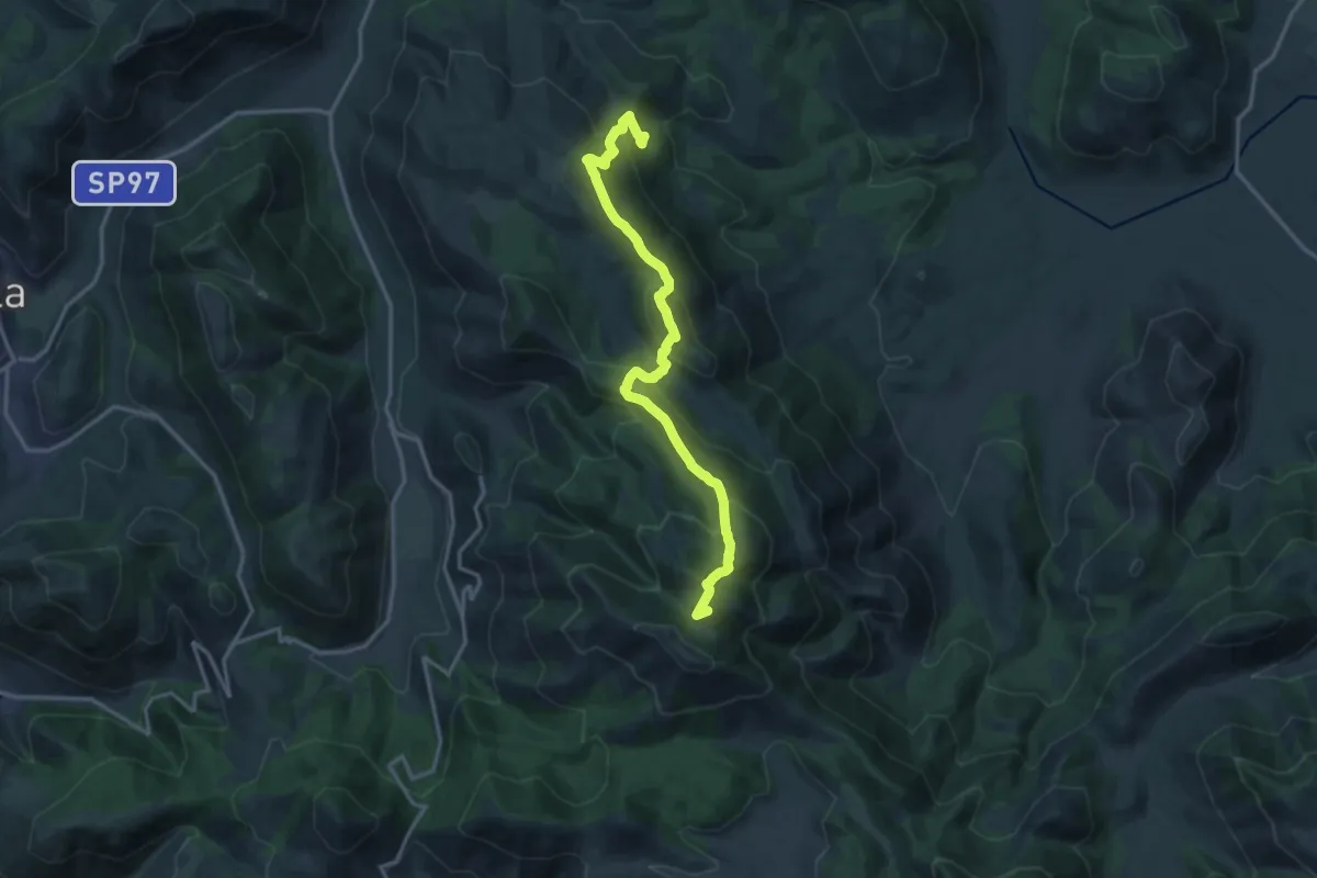
Demanding · Summit
Rifugio Ranucci-Monte Faggeto
17.4 km · ↑ 1075 m · 6 h 27 min · 10 km away
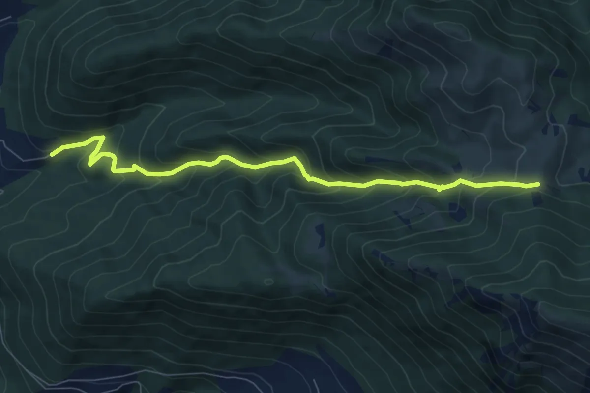
Medium · Cabin
Tigione - Pozzacone
8.2 km · ↑ 650 m · 3 h 20 min · 11 km away
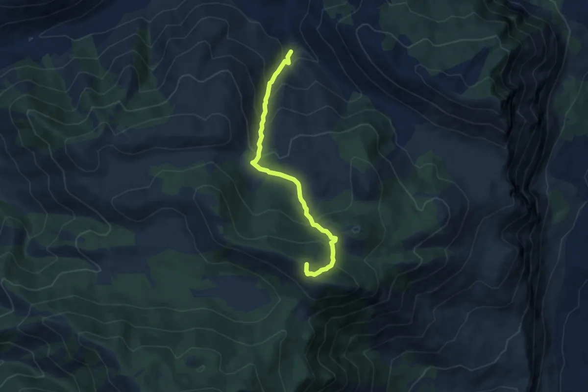
Medium · Summit
Contrada Tasso-Monte Forte
8.2 km · ↑ 615 m · 3 h 16 min · 11 km away
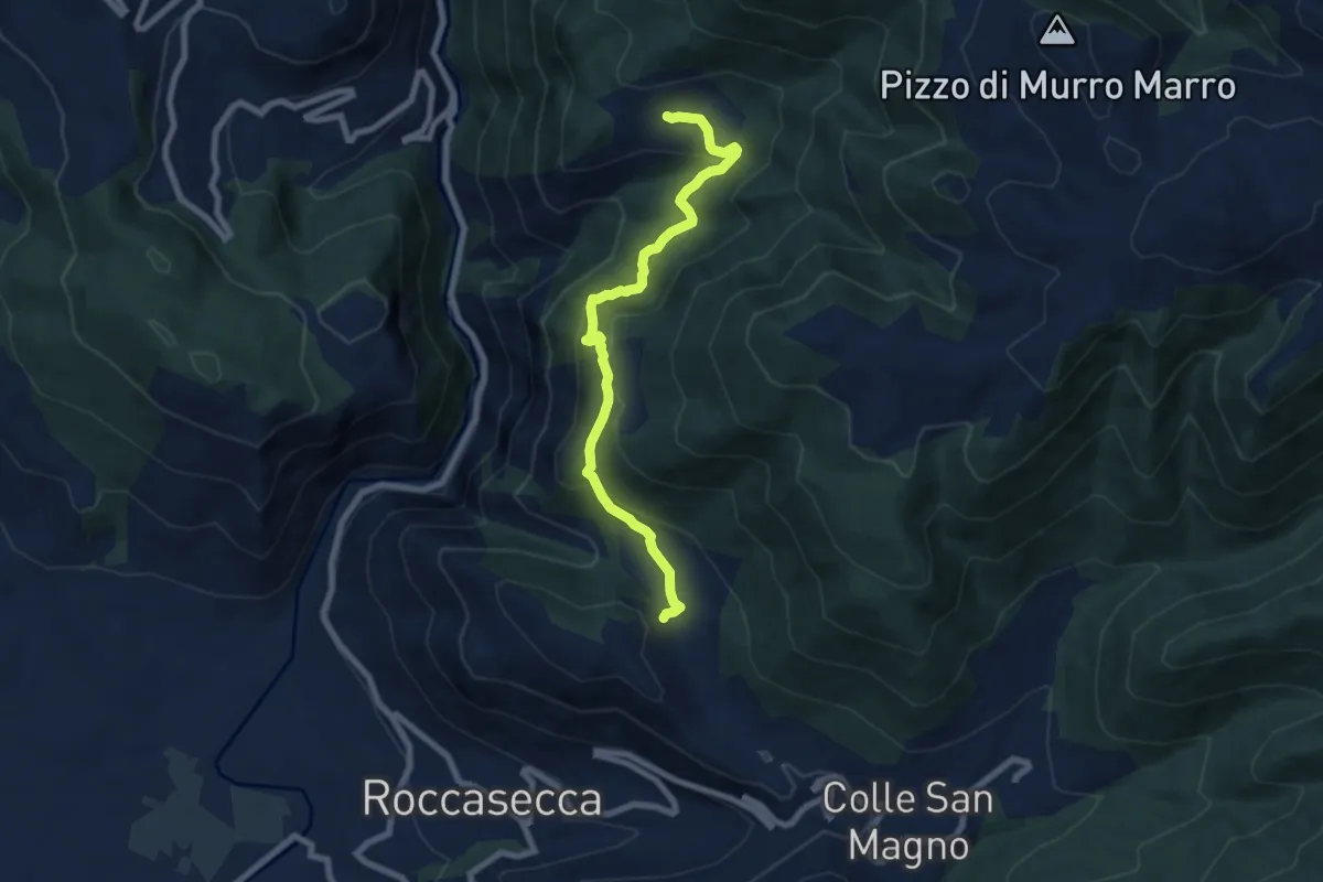
Medium · Trail
Sentieri del Brigante - SB7
8.1 km · ↑ 482 m · 2 h 57 min · 11 km away
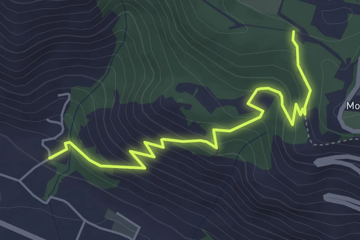
Medium · Trail
Sentiero di S.Scolastica
5.0 km · ↑ 353 m · 1 h 57 min · 11 km away
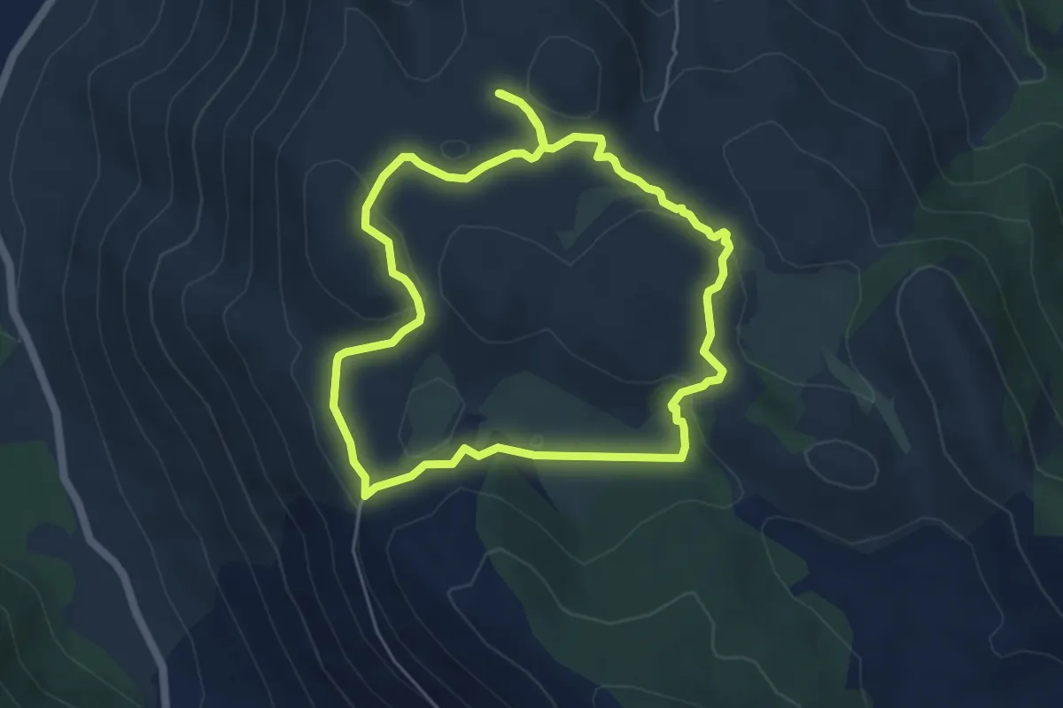
Easy · Trail
Anello di Santo Onofrio
5.3 km · ↑ 139 m · 1 h 37 min · 12 km away
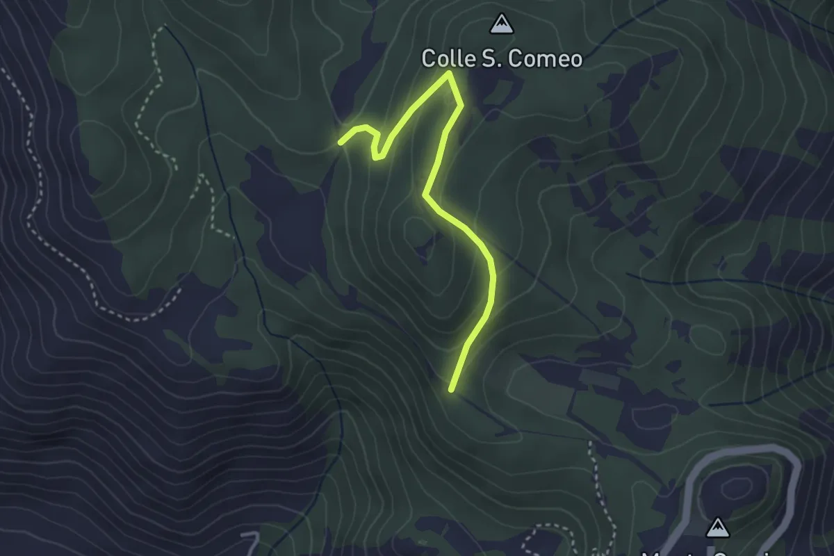
Easy · Trail
Sentiero della Stele
3.3 km · ↑ 178 m · 1 h 10 min · 12 km away
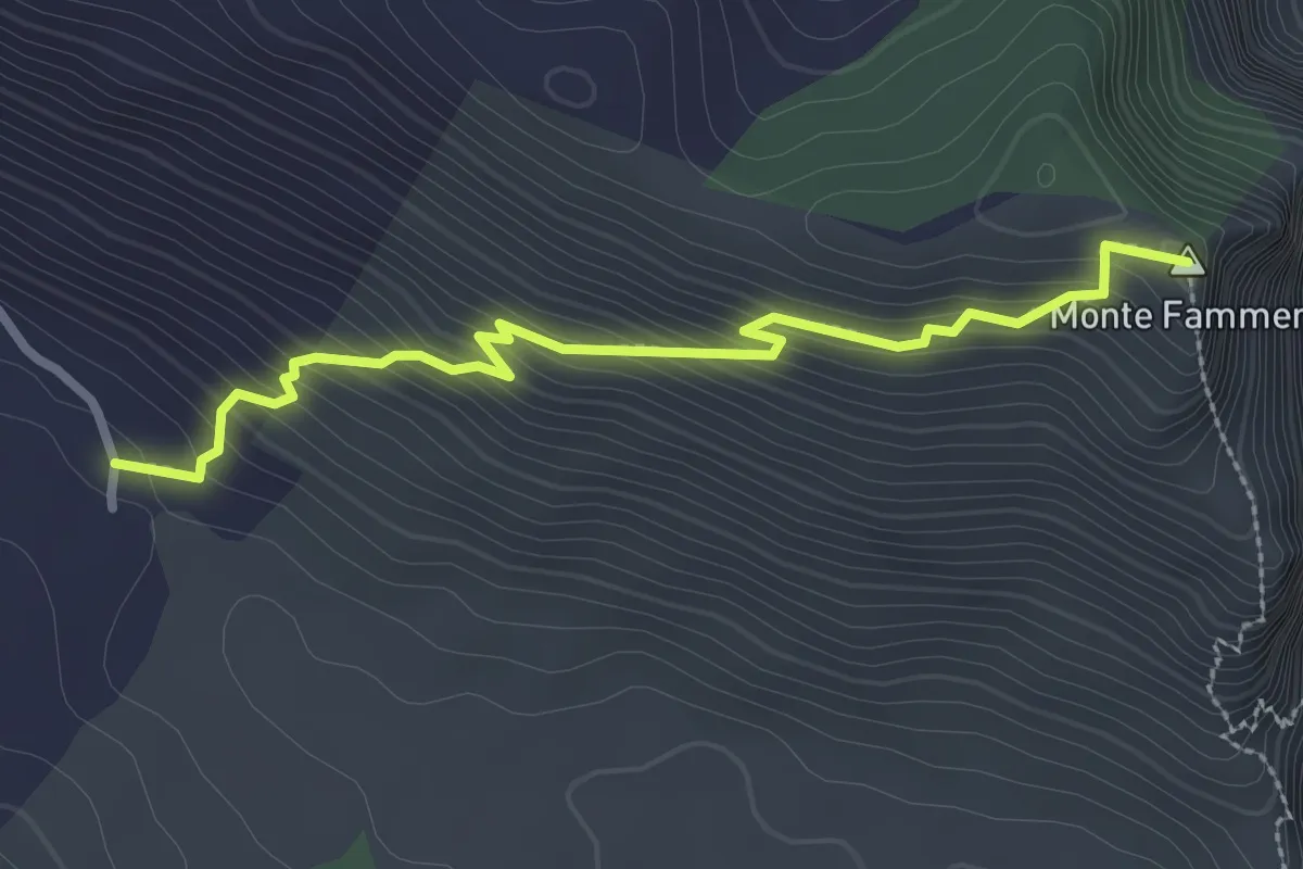
Easy · Summit
Valle Gaetana-Monte Fammera
3.1 km · ↑ 312 m · 1 h 24 min · 12 km away
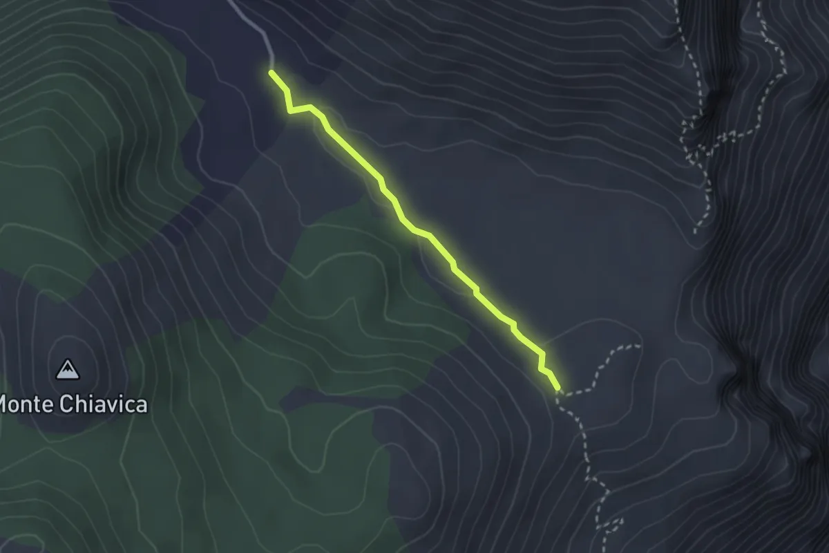
Easy · Trail
Valle Gaetana-Fammera di Spigno
2.6 km · ↑ 31 m · 40 min · 12 km away
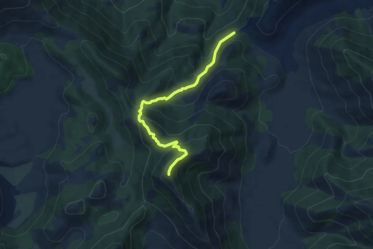
Medium · Summit
Località Portella (Rifugio Portella) – Monte Revole
8.8 km · ↑ 741 m · 3 h 41 min · 12 km away
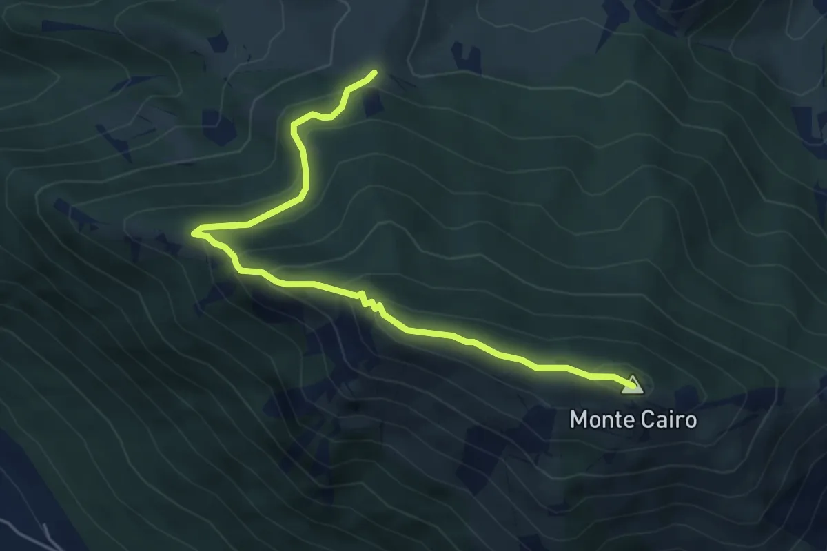
Demanding · Summit
Pozzacone - Monte Cairo
5.8 km · ↑ 382 m · 2 h 11 min · 12 km away
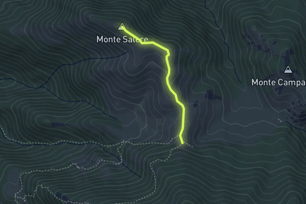
Easy · Summit
Monte Salere
2.8 km · ↑ 94 m · 52 min · 12 km away
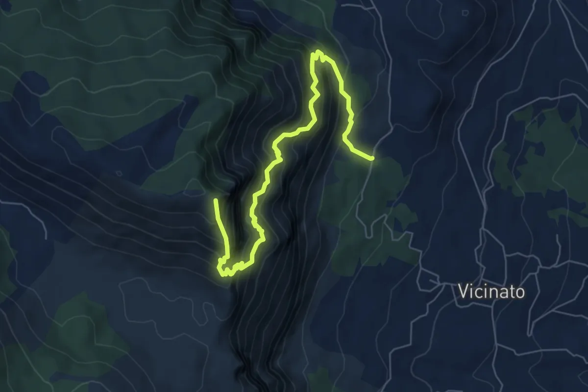
Demanding · Summit
Selvacava-Monte Fammera
7.7 km · ↑ 1032 m · 4 h 3 min · 12 km away
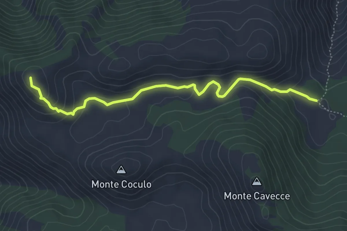
Easy · Summit
Guado del Faggeto-Monte Belvedere
5.7 km · ↑ 213 m · 1 h 48 min · 12 km away
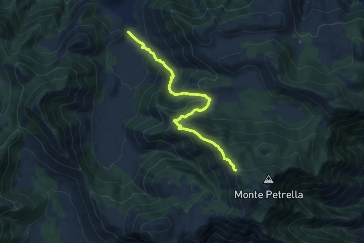
Demanding · Trail
Polleca-Monte Petrella
12.0 km · ↑ 822 m · 4 h 37 min · 13 km away
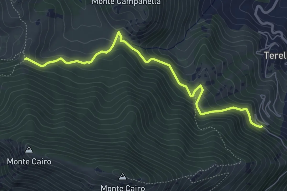
Medium · Cabin
La Sbarra - Pozzacone
6.6 km · ↑ 458 m · 2 h 33 min · 13 km away
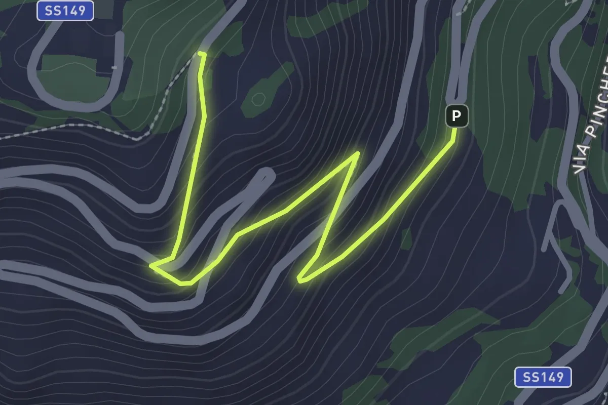
Easy · Trail
Sentiero storico per Montecassino
3.1 km · ↑ 239 m · 1 h 16 min · 13 km away
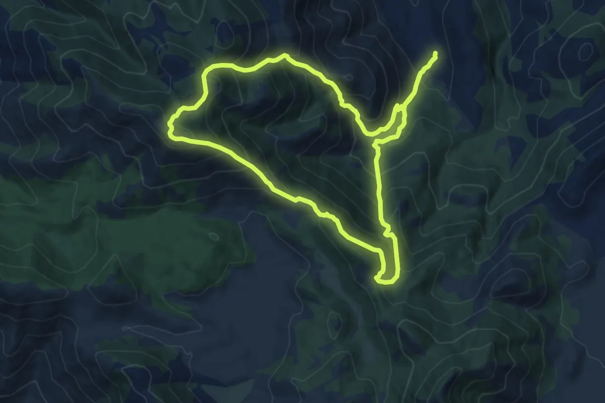
Demanding · Summit
Anello Sant'Ermo-Monte Faggeto
12.8 km · ↑ 1064 m · 5 h 30 min · 13 km away
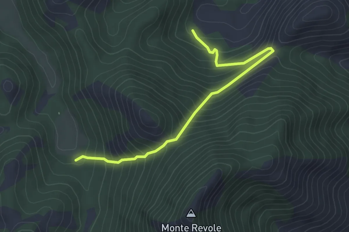
Medium · Trail
Cerretello-Valle Piana
5.2 km · ↑ 448 m · 2 h 12 min · 14 km away
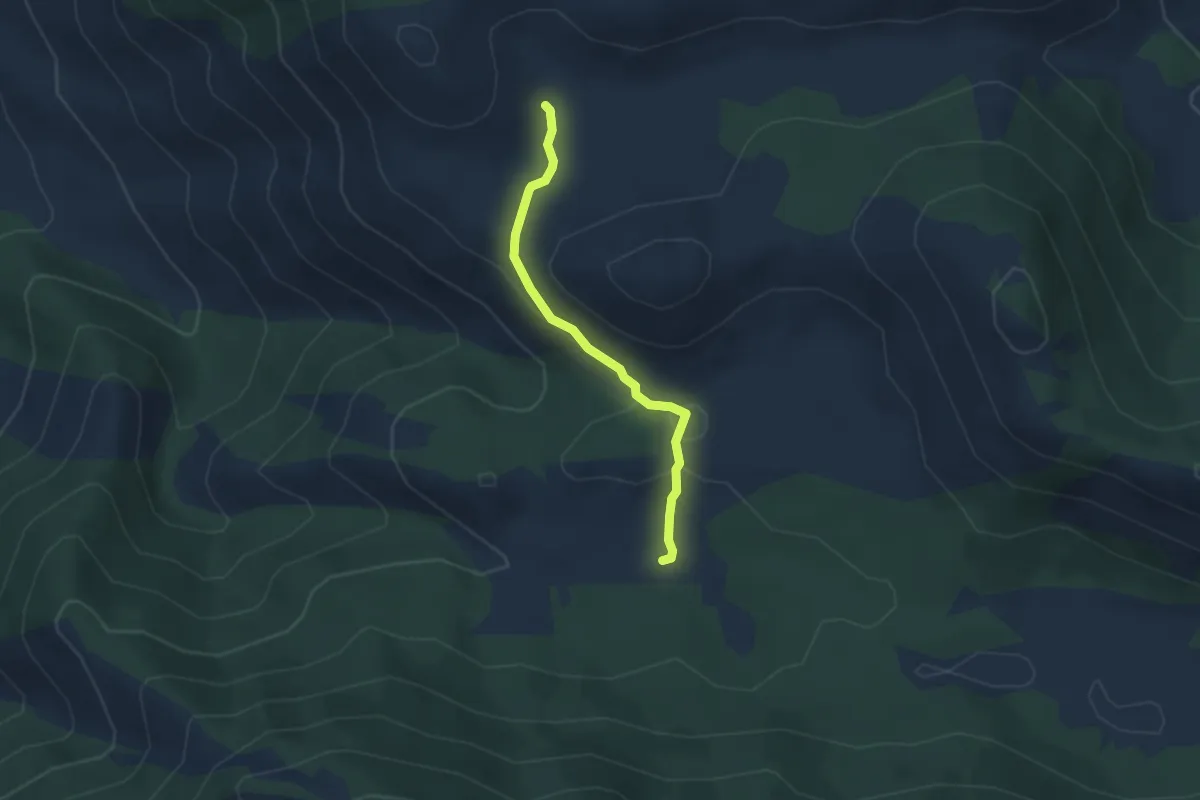
Easy · Trail
Cisterna Cupa-Campodivenza
3.3 km · ↑ 90 m · 58 min · 14 km away
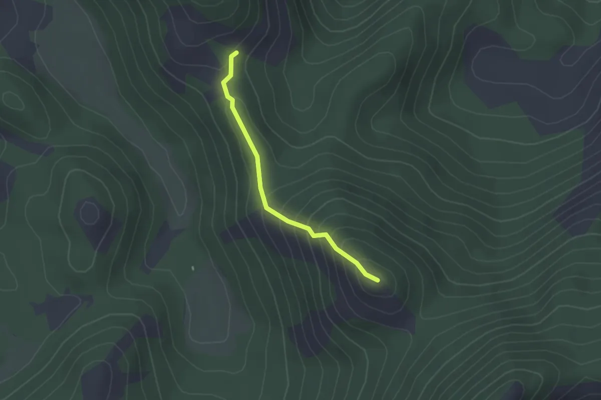
Easy · Summit
Intersezione CAI 907 – Monte Fragoloso
2.2 km · ↑ 172 m · 54 min · 14 km away
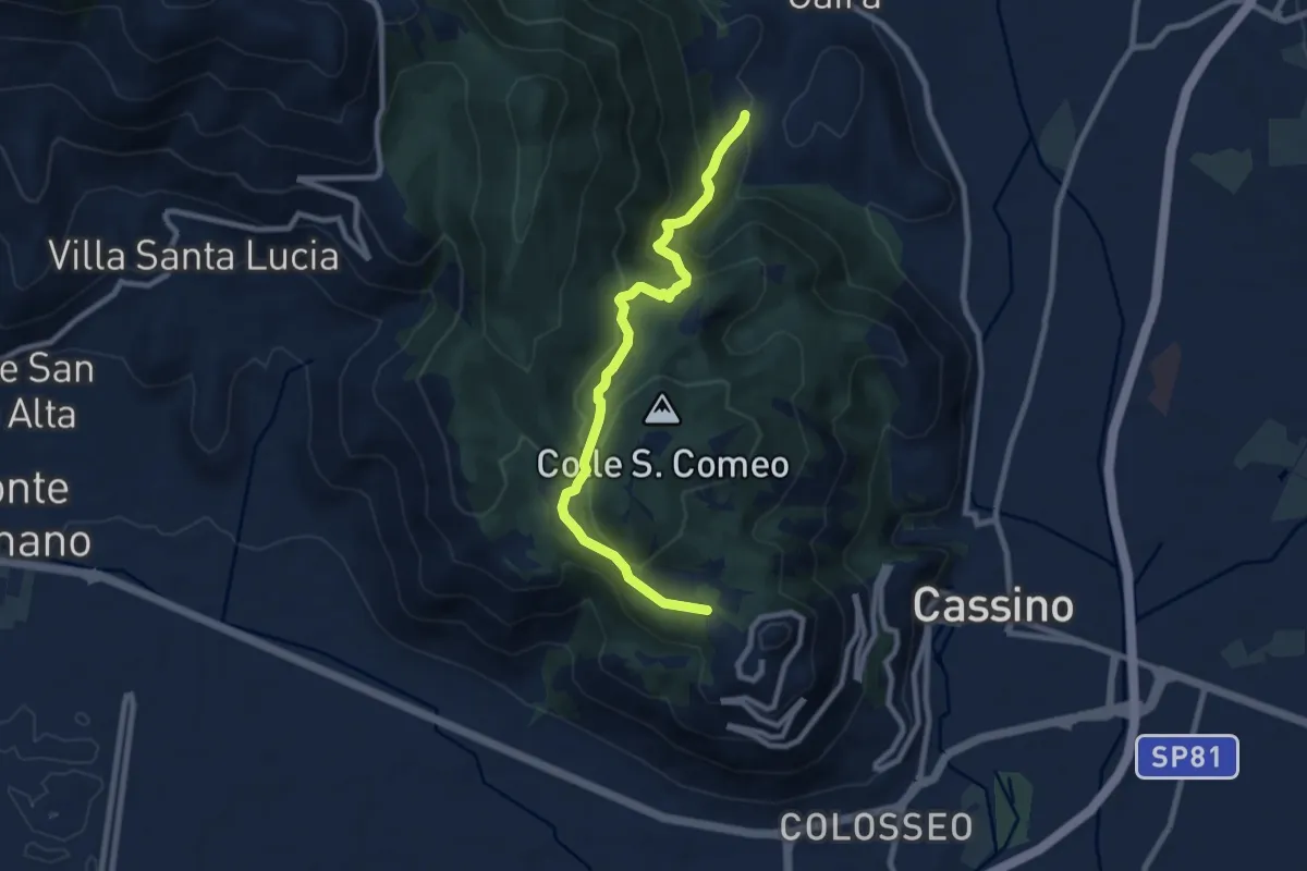
Medium · Trail
Cavendish Road
9.2 km · ↑ 506 m · 3 h 17 min · 14 km away
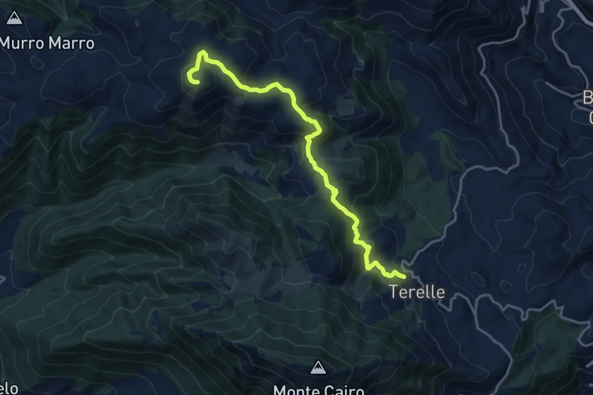
Medium · Summit
Terelle - Monte Obachelle
13.4 km · ↑ 670 m · 4 h 36 min · 14 km away
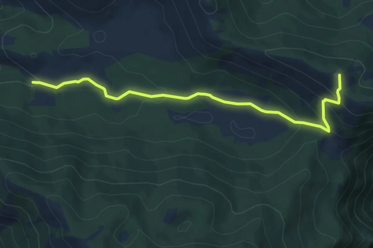
Easy · Summit
Cisterna Cupa-Monte Forte
6.9 km · ↑ 297 m · 2 h 17 min · 14 km away
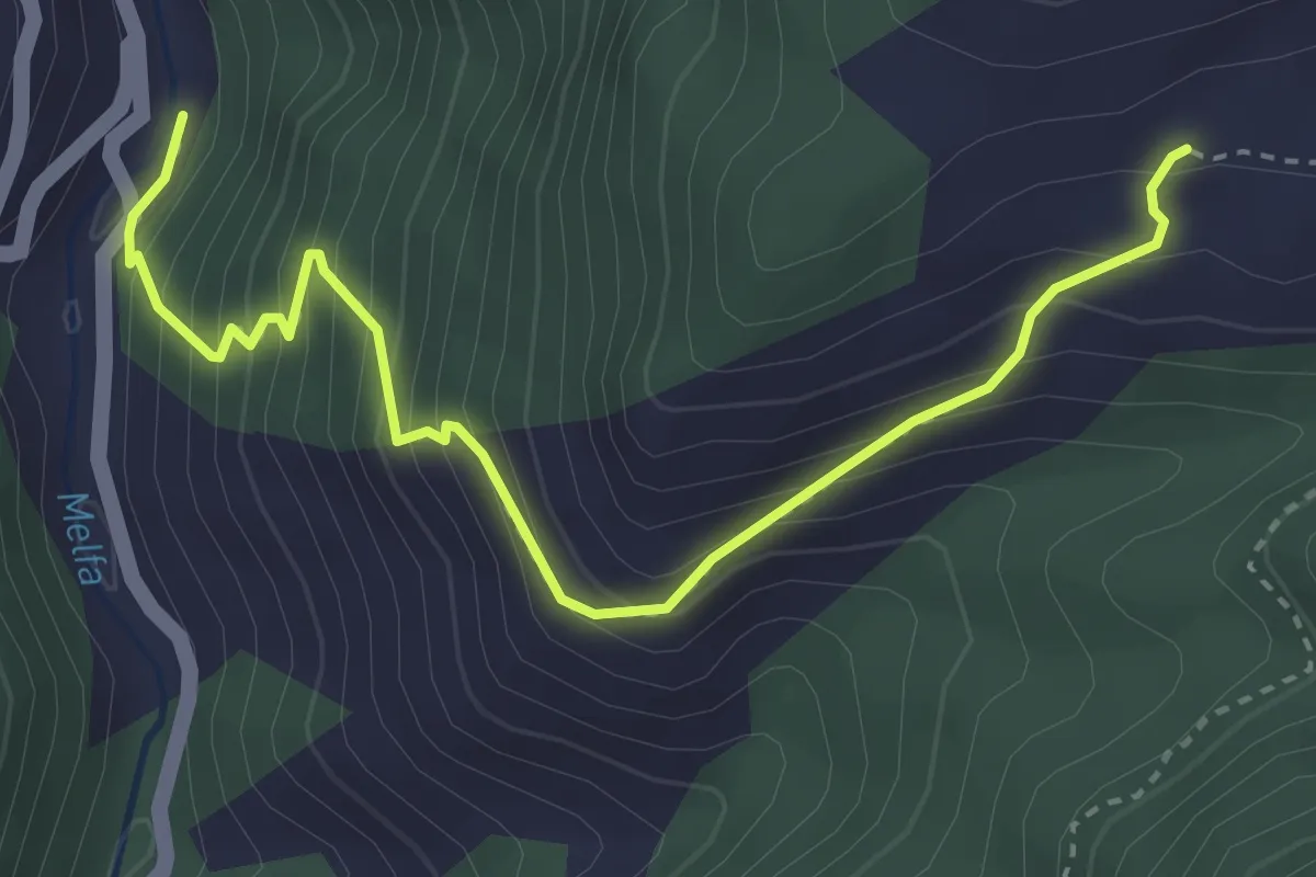
Medium · Trail
Sentieri del Brigante - SB8
4.1 km · ↑ 434 m · 1 h 55 min · 14 km away
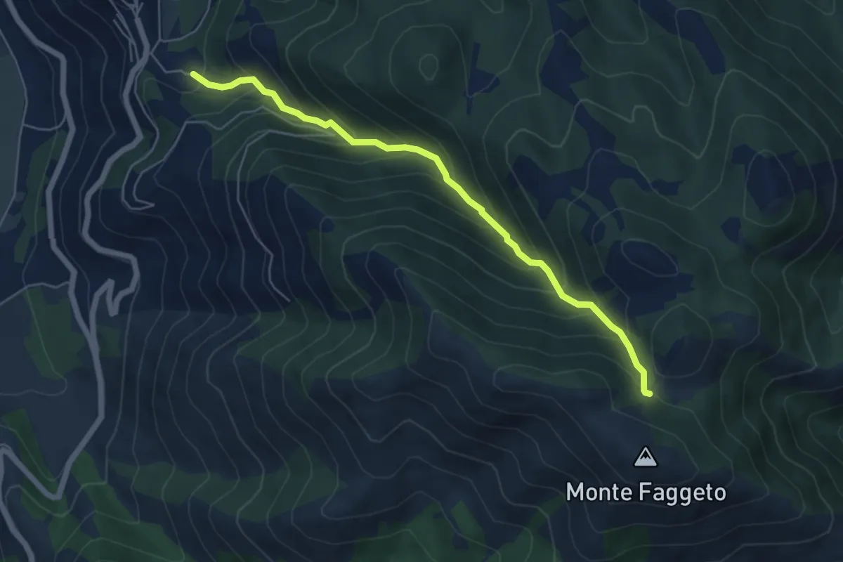
Medium · Cabin
Canale del Tasso-Monte Faggeto
6.0 km · ↑ 560 m · 2 h 38 min · 14 km away
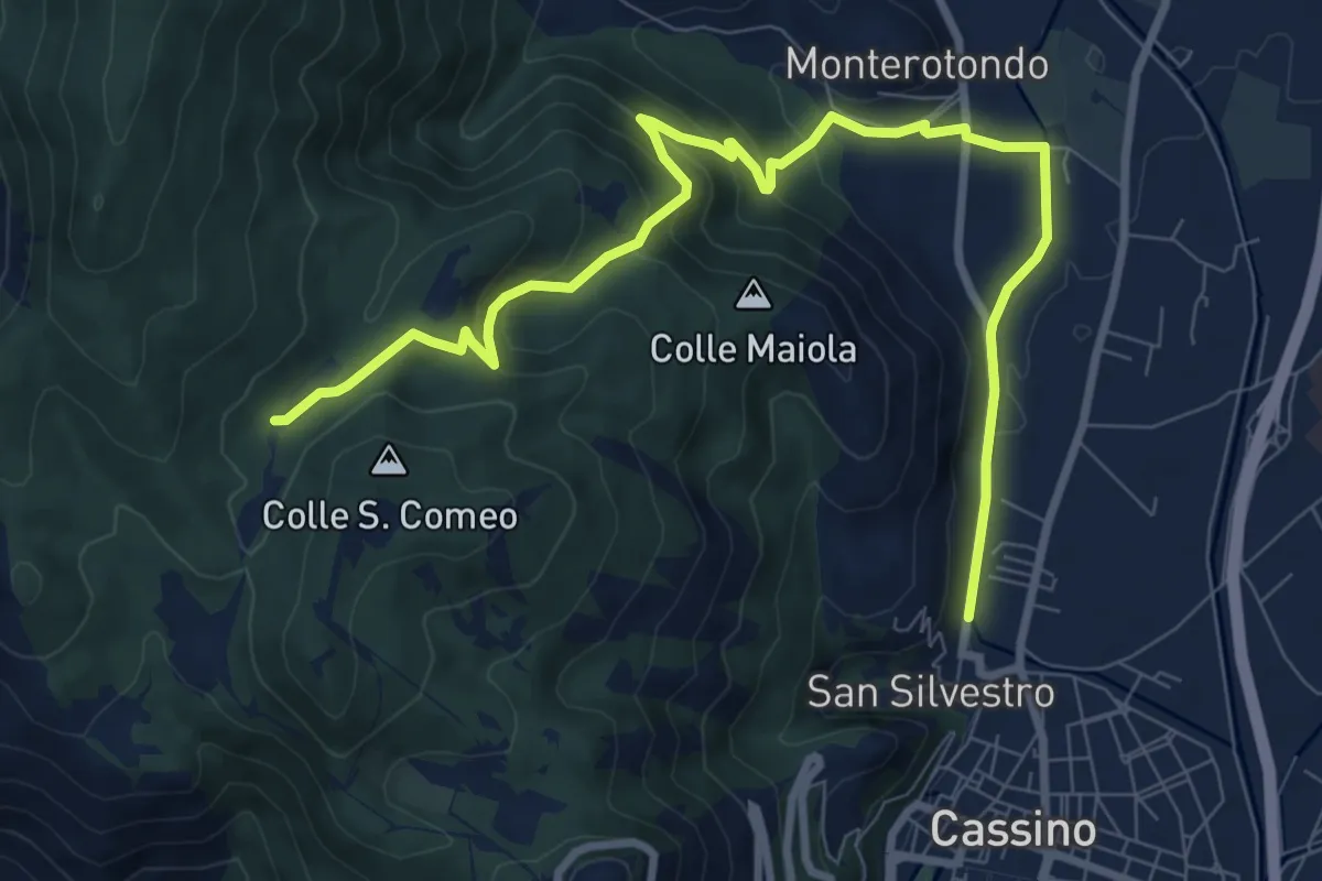
Medium · Trail
Roorkee Road
11.2 km · ↑ 472 m · 3 h 40 min · 14 km away
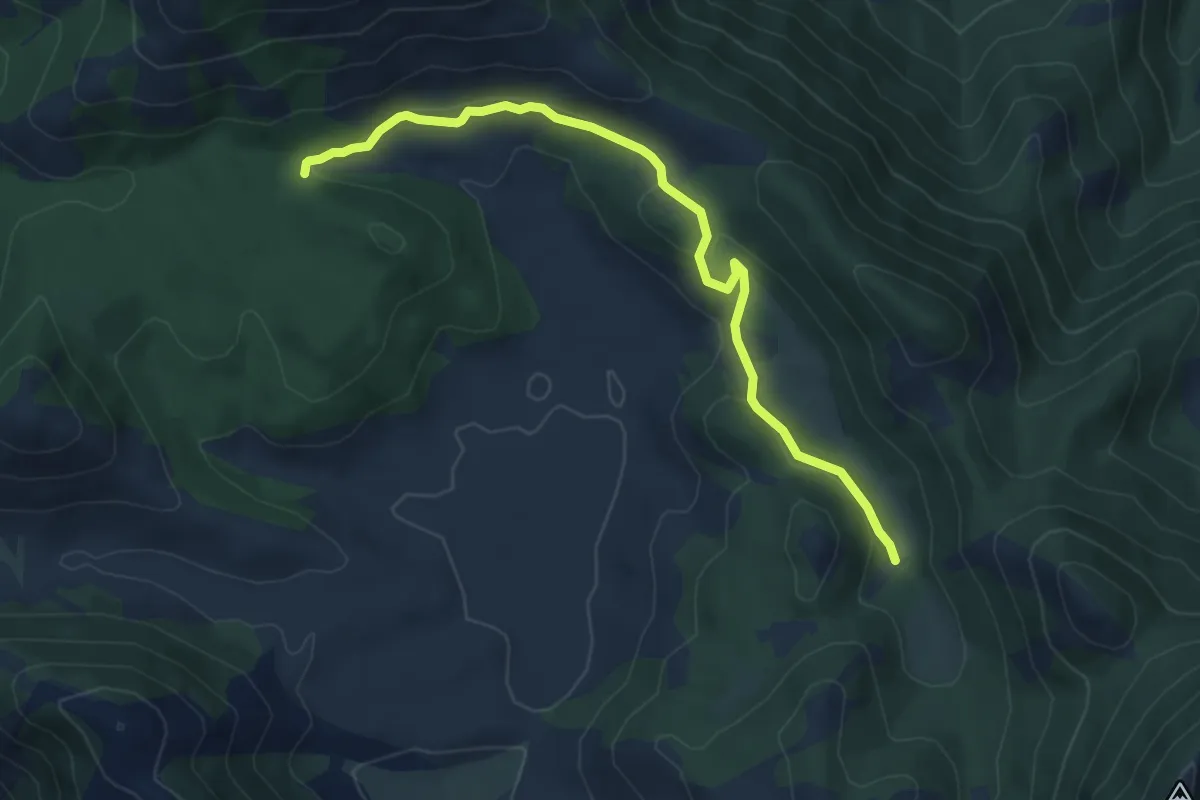
Easy · Trail
Sentiero LH16 Campello Vecchio
7.0 km · ↑ 175 m · 2 h 2 min · 14 km away
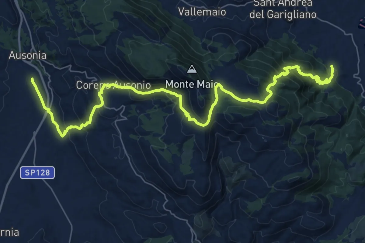
Medium · Pilgrim path
Cammino di San Filippo Neri - Tappa 3
16.4 km · ↑ 771 m · 5 h 46 min · 14 km away
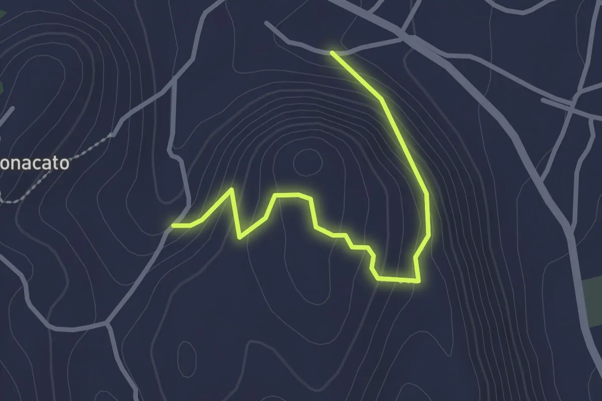
Easy · Trail
Sentiero Facciata
2.8 km · ↑ 169 m · 1 h 1 min · 15 km away
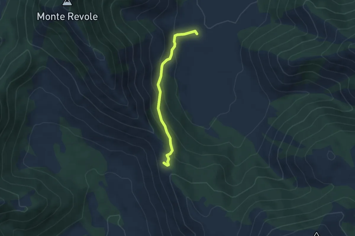
Easy · Trail
Piana di Polleca-Forcella del Fraile
3.9 km · ↑ 216 m · 1 h 23 min · 15 km away
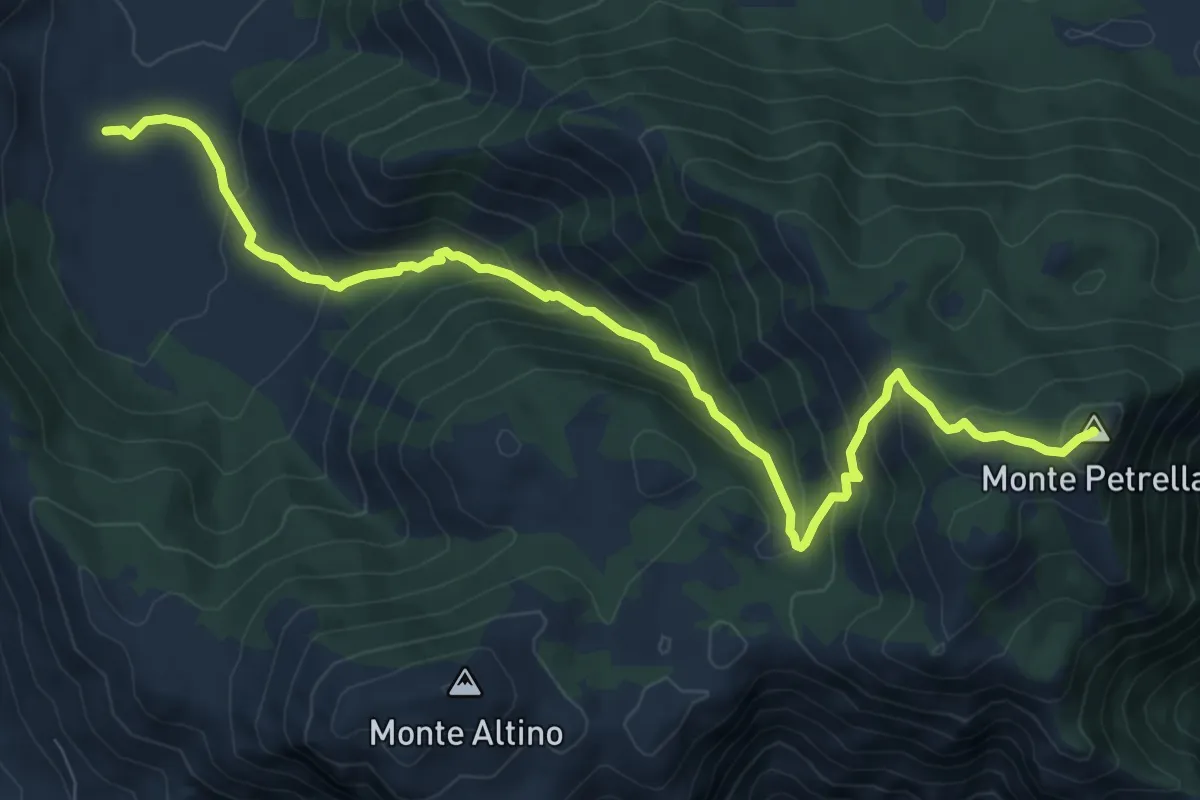
Medium · Summit
Fraile-Monte Petrella
11.0 km · ↑ 752 m · 4 h 13 min · 15 km away