Trails near Pontedera
71 hikes starting within 15 km, nearest first.
Nearest first, page 2 of 2
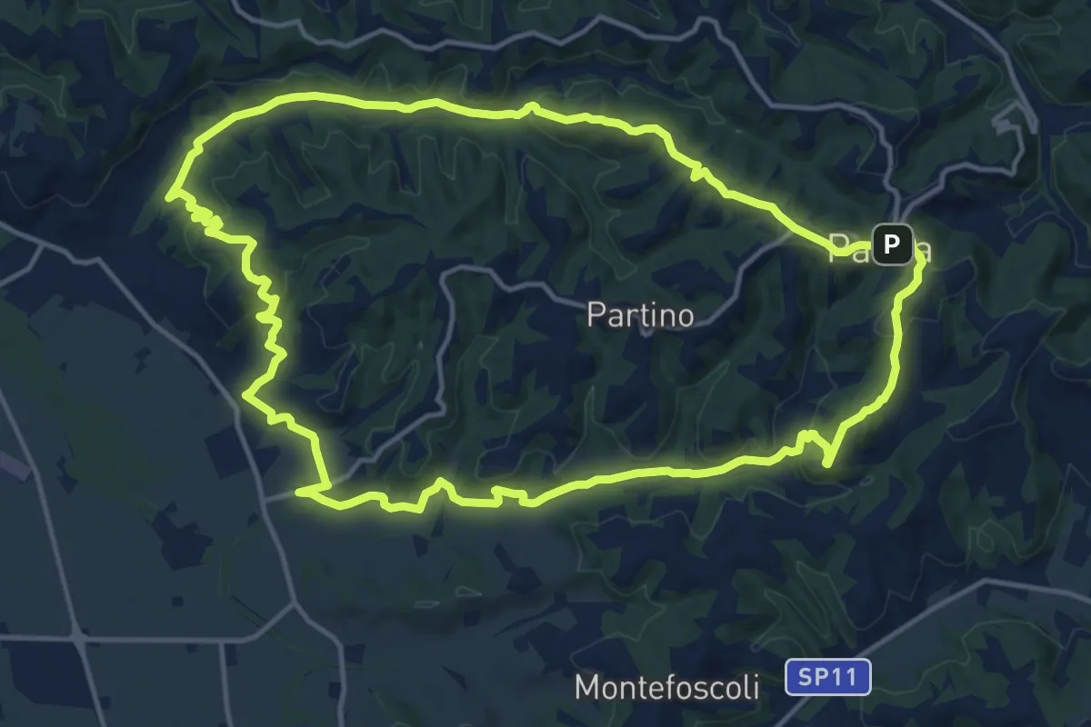
Medium · Trail
Anello delle due Tosole - Percorso 10
16.3 km · ↑ 371 m · 4 h 52 min · 13 km away
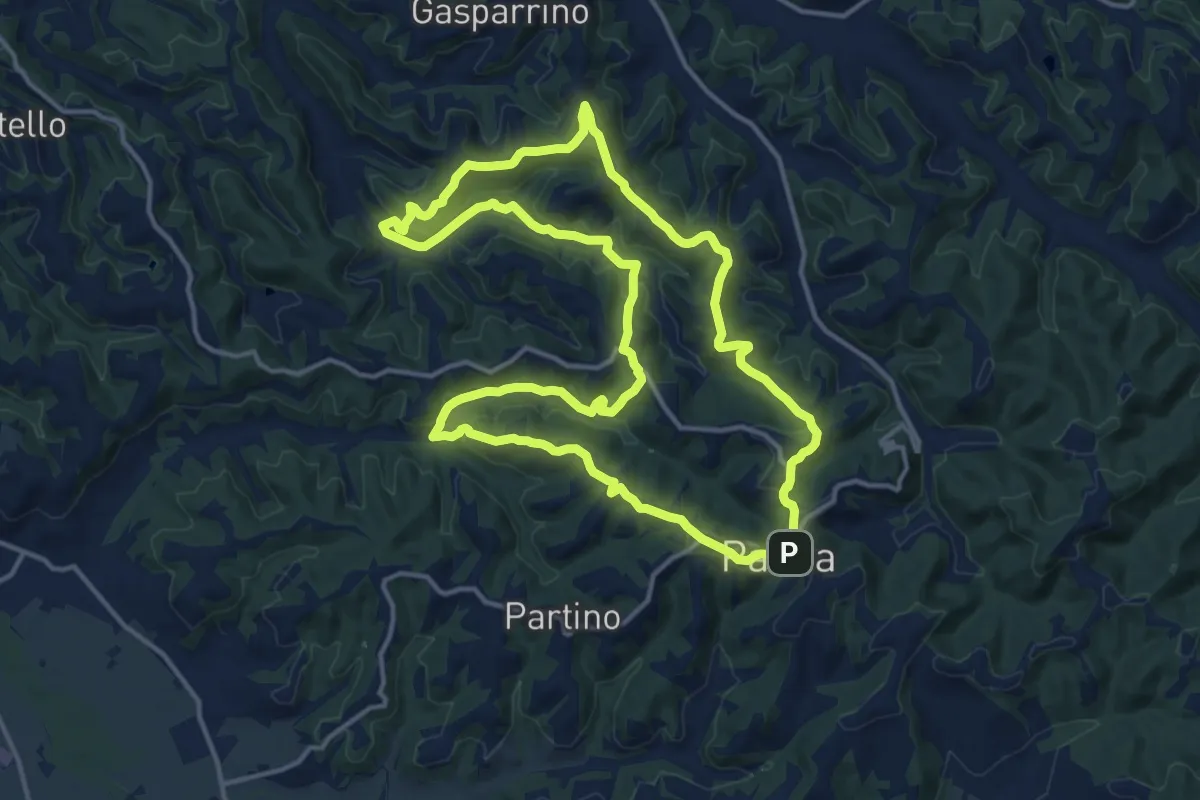
Medium · Trail
Anello di Usigliano e Colleoli - Percorso 6
15.8 km · ↑ 466 m · 4 h 57 min · 13 km away
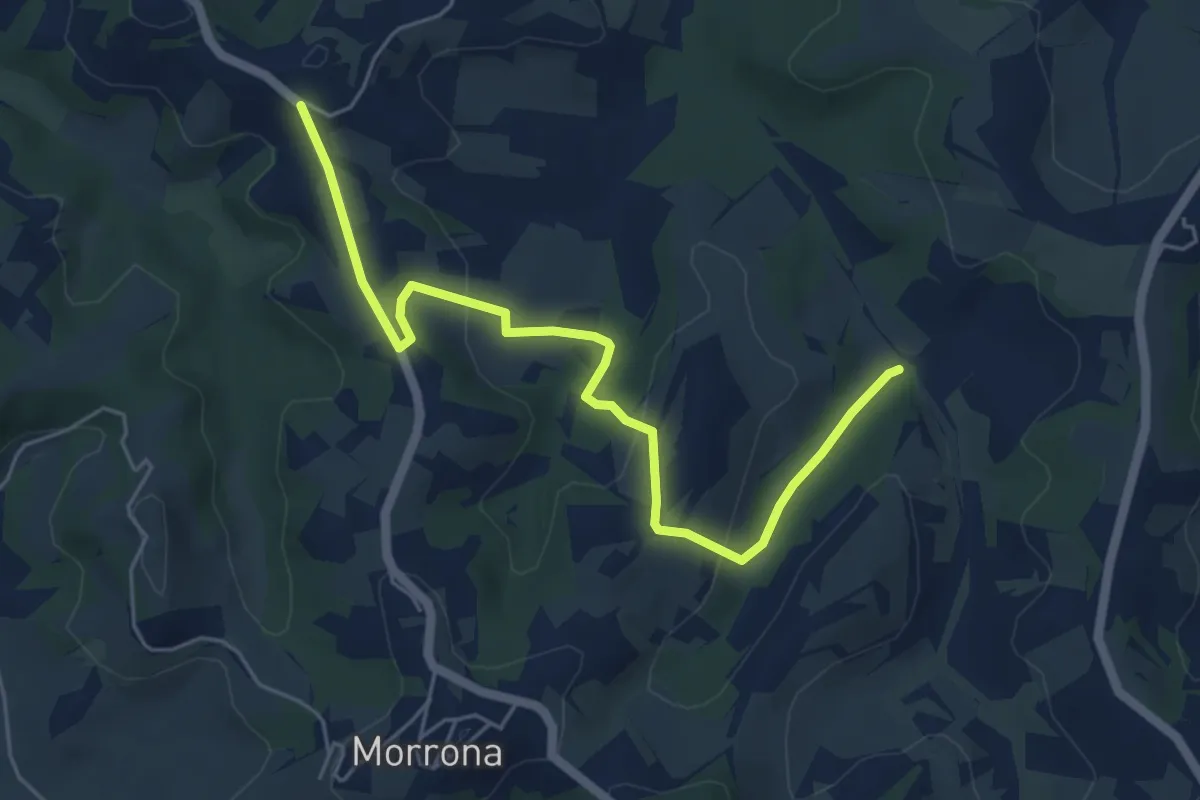
Easy · Trail
Stibbiolo – Casanova
6.0 km · ↑ 196 m · 1 h 51 min · 13 km away
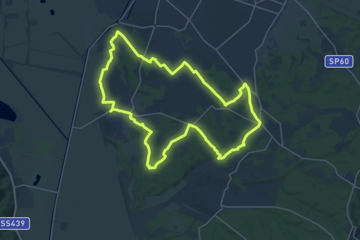
Demanding · Trail
Grande Anello di Orentano
19.4 km · ↑ 112 m · 5 h 6 min · 13 km away
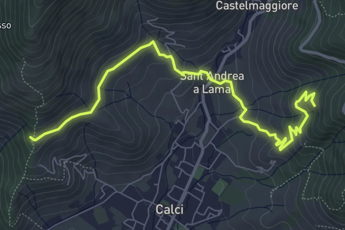
Medium · Trail
San Bernardo – Via di Pari
7.9 km · ↑ 417 m · 2 h 46 min · 13 km away
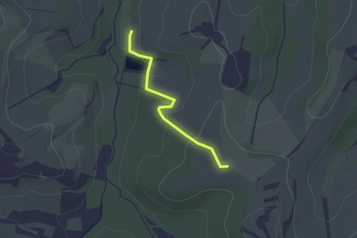
Easy · Trail
Innesto sentiero 453 – Lago di Cuccheri
2.3 km · ↑ 56 m · 39 min · 13 km away
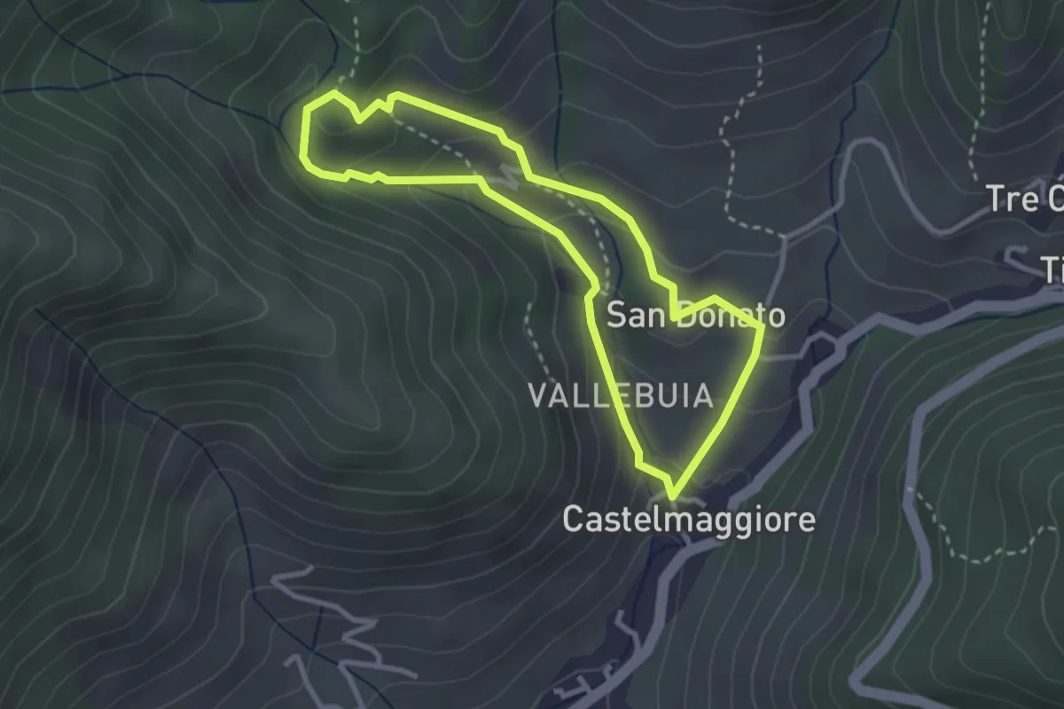
Easy · Trail
Percorso delle Acque
2.8 km · ↑ 146 m · 1 h 1 min · 13 km away
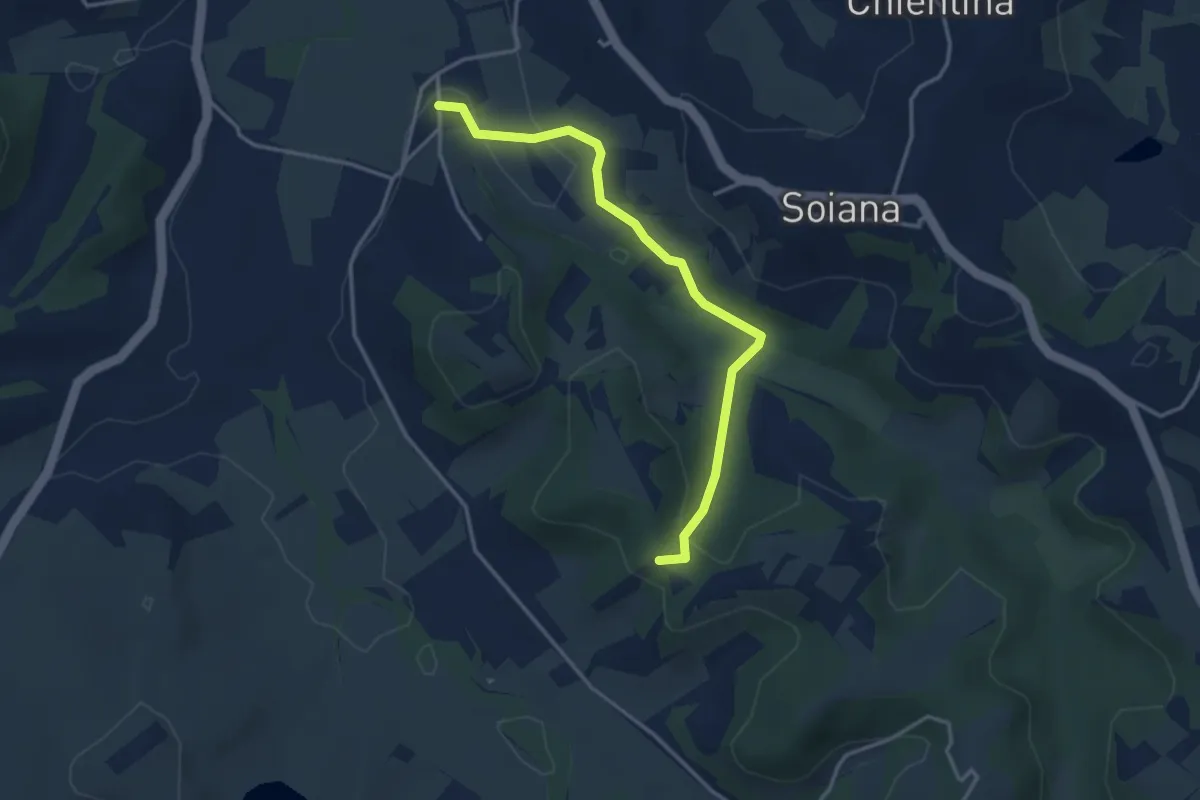
Easy · Trail
Le Case – Innesto sentiero 451 in Via dei Monaci
3.7 km · ↑ 80 m · 1 h 3 min · 13 km away
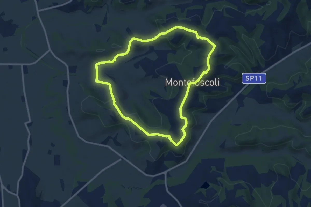
Easy · Trail
Anello di Montefoscoli - Percorso 2
7.3 km · ↑ 143 m · 2 h 7 min · 14 km away
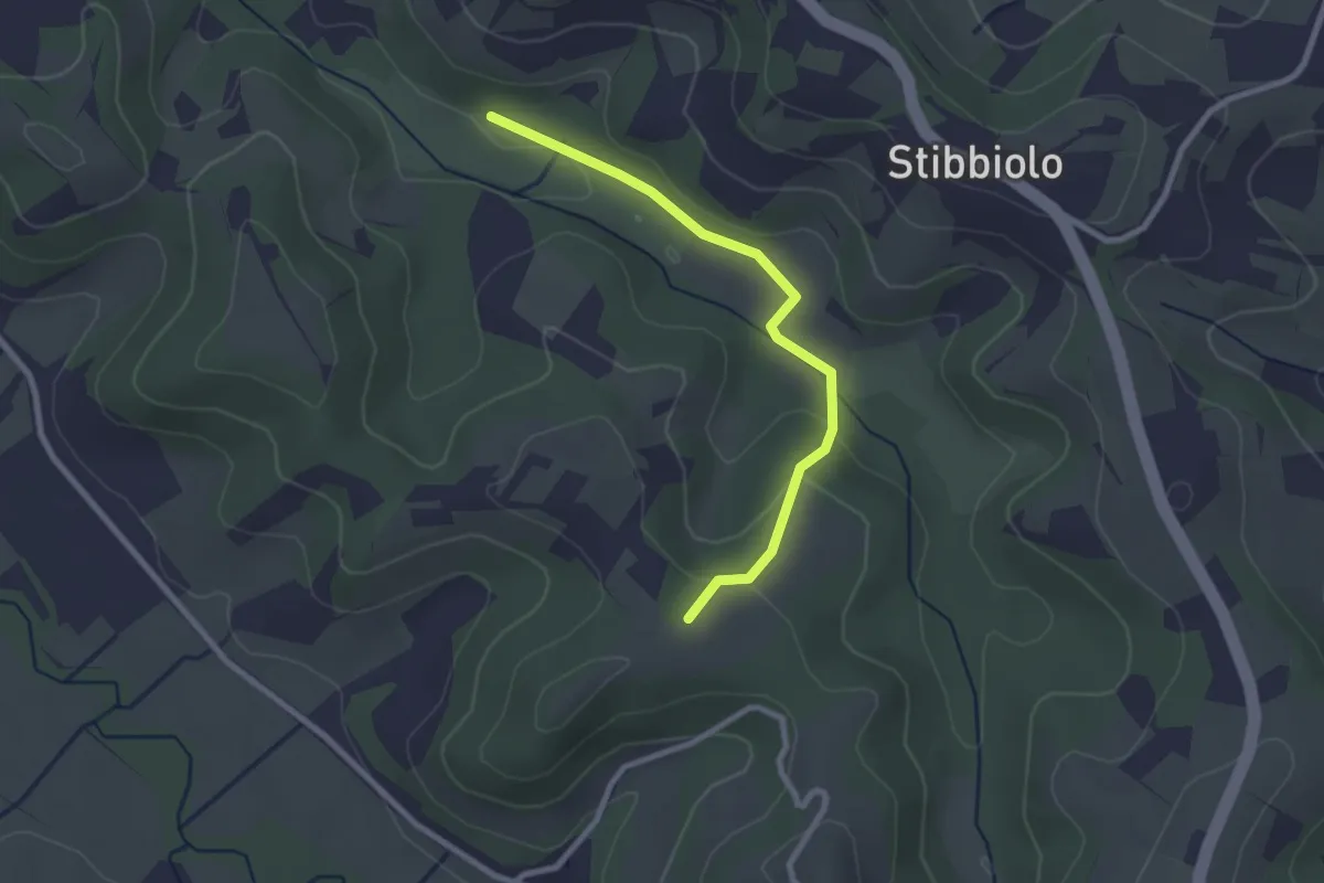
Easy · Trail
Via della Valle – Badia di Morrona
2.6 km · ↑ 68 m · 46 min · 14 km away
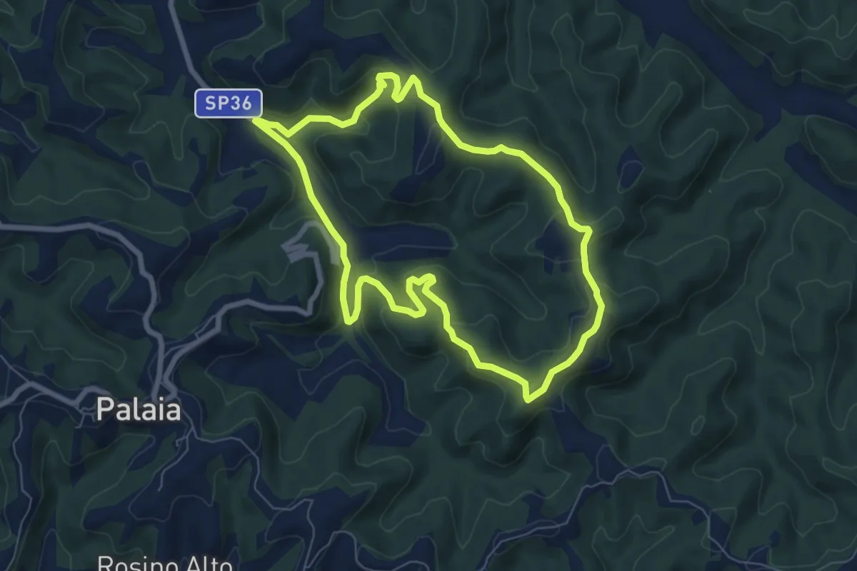
Easy · Trail
Anello di Agliati - Percorso 4
7.1 km · ↑ 217 m · 2 h 14 min · 14 km away
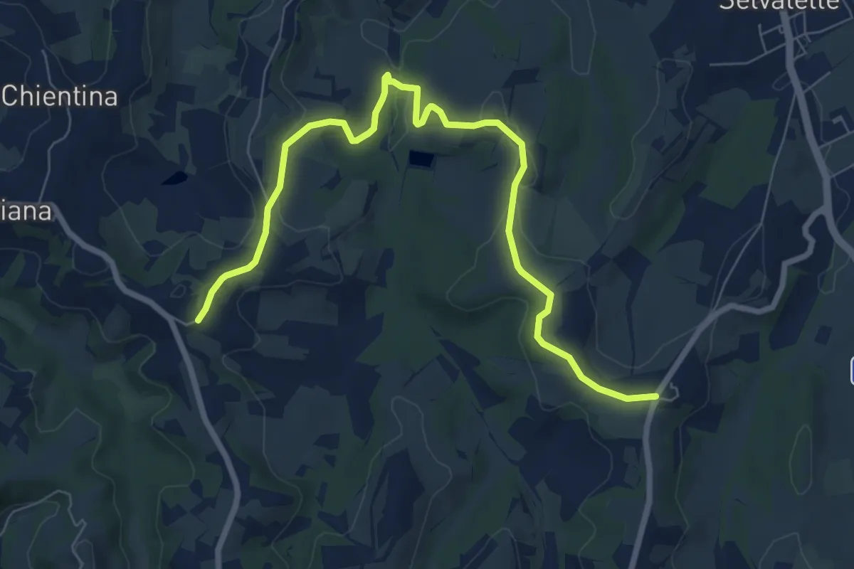
Medium · Trail
Stibbiolo – Casanova
8.8 km · ↑ 168 m · 2 h 26 min · 14 km away
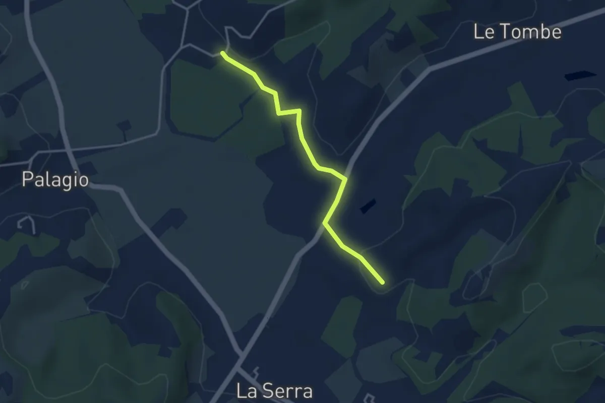
Easy · Trail
C06 - Collegamento Valle dell’Egola
3.1 km · ↑ 29 m · 47 min · 14 km away
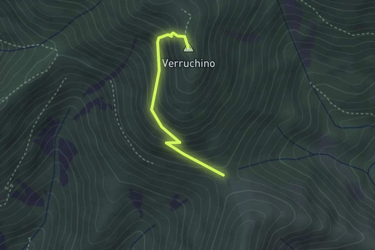
Easy · Summit
Foce di Calci – Verruchino (innesto 00)
2.6 km · ↑ 245 m · 1 h 8 min · 14 km away
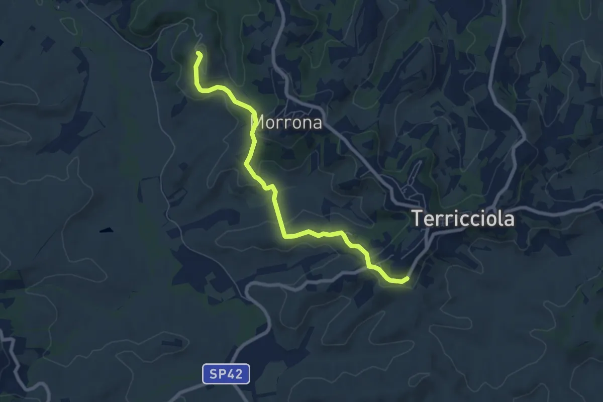
Easy · Trail
Badia di Morrona – Terricciola
7.0 km · ↑ 237 m · 2 h 10 min · 14 km away
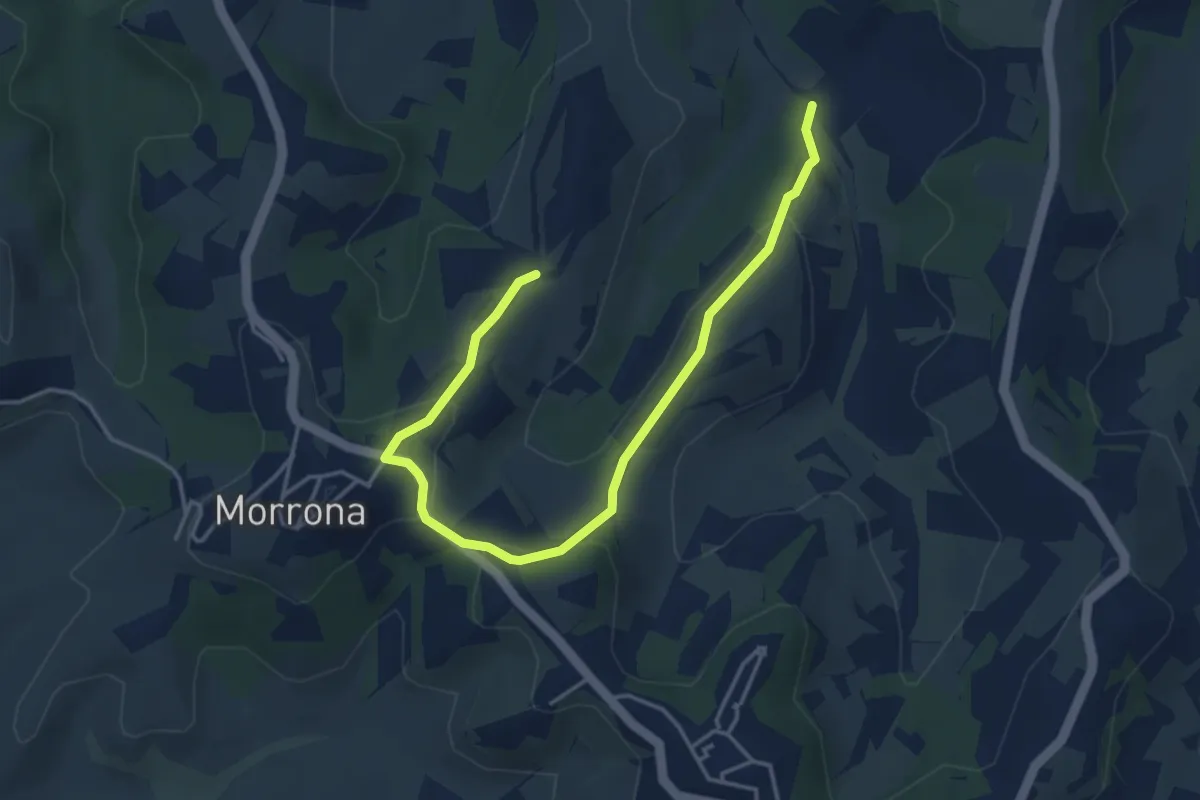
Easy · Trail
Morrona – Bivio sentiero 452
5.1 km · ↑ 175 m · 1 h 35 min · 14 km away
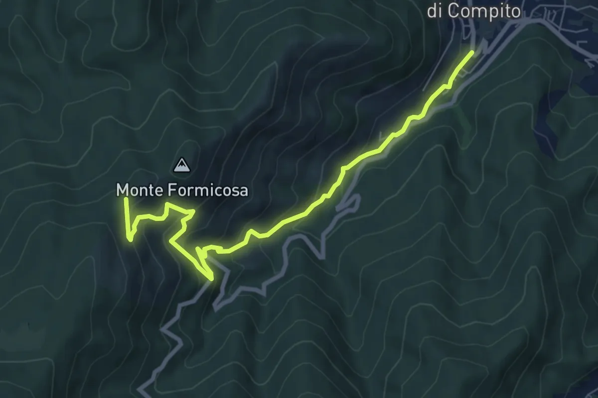
Medium · Trail
Fosso del Lupo
7.8 km · ↑ 526 m · 2 h 59 min · 14 km away
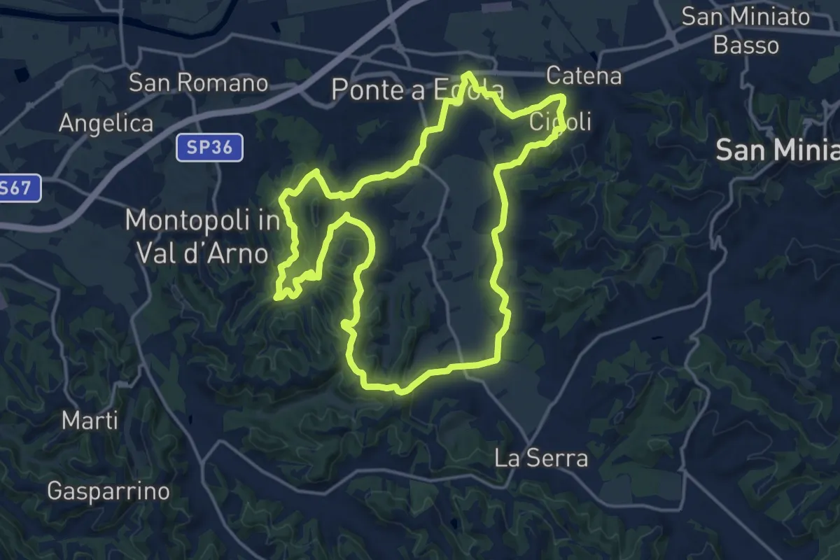
Medium · Trail
01 - Anello dei Castelli
16.8 km · ↑ 402 m · 5 h 3 min · 15 km away
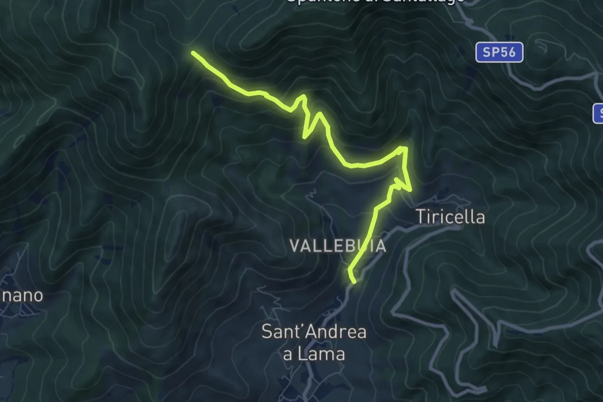
Medium · Trail
Castelmaggiore – Campo di Croce
8.7 km · ↑ 536 m · 3 h 13 min · 15 km away
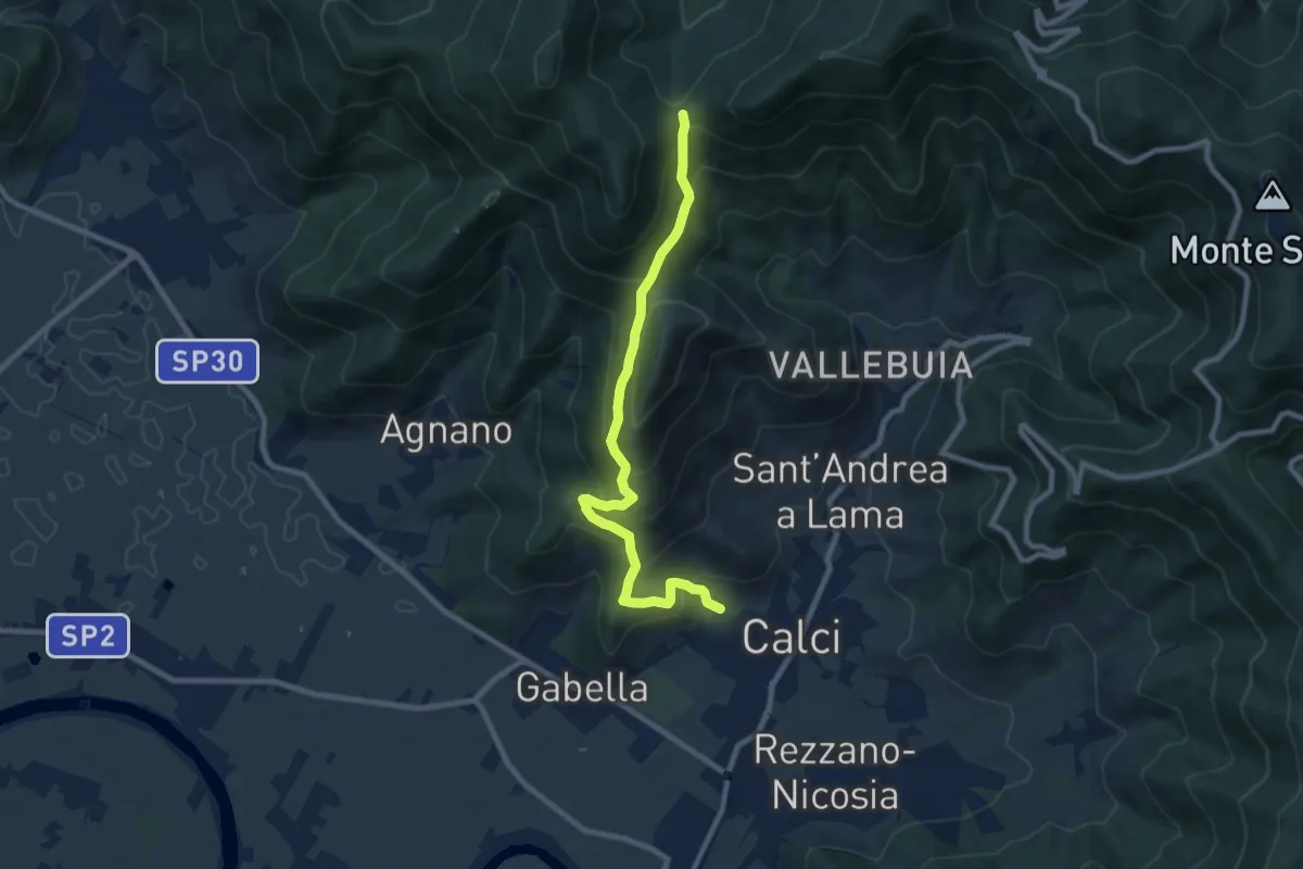
Medium · Trail
Calci – Campo di Croce
9.3 km · ↑ 625 m · 3 h 32 min · 15 km away
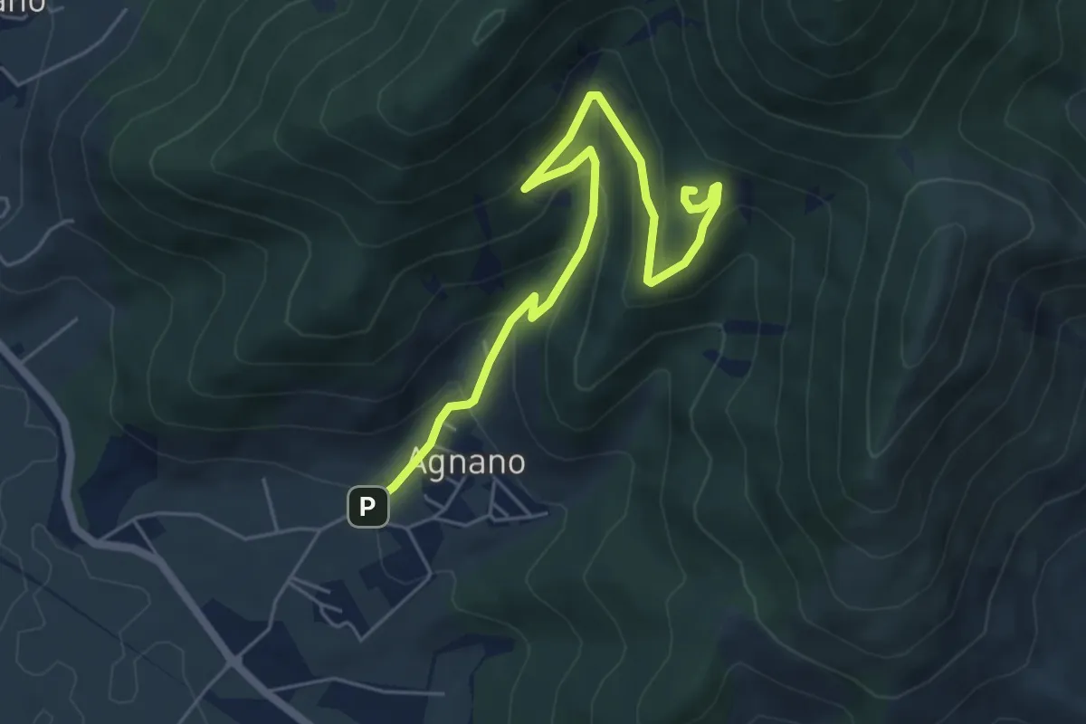
Medium · Summit
Agnano – Foce di Calci
6.4 km · ↑ 388 m · 2 h 21 min · 15 km away
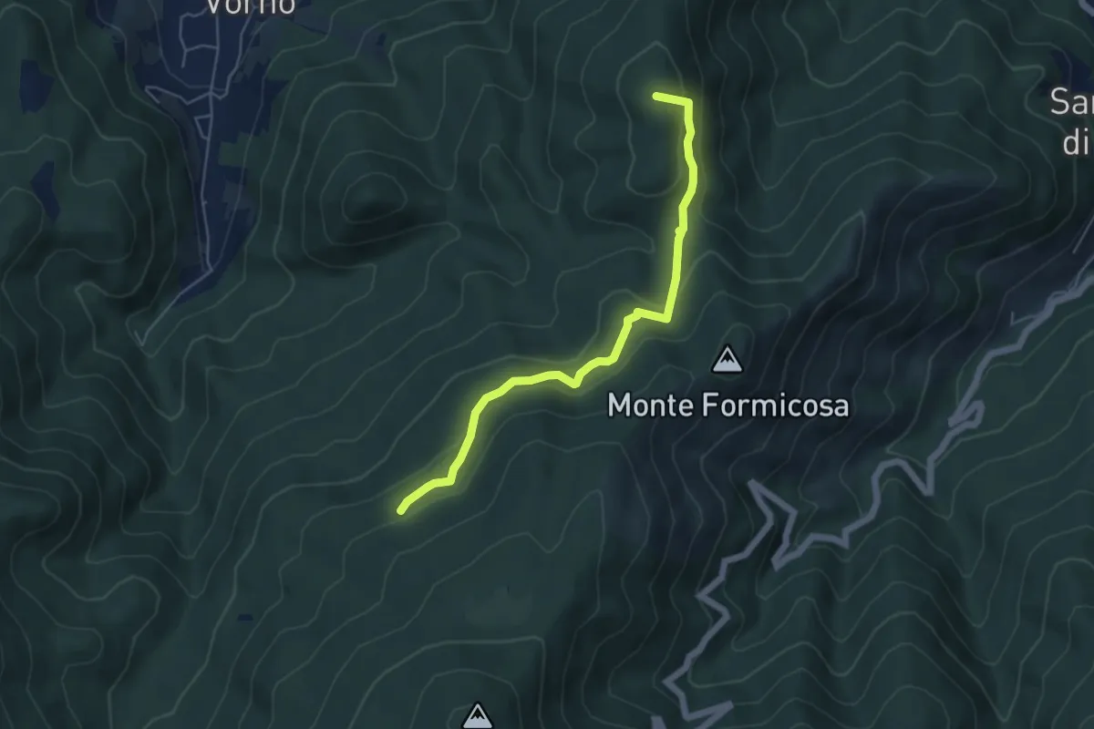
Easy · Summit
Le Parole d'Oro
5.4 km · ↑ 231 m · 1 h 46 min · 15 km away
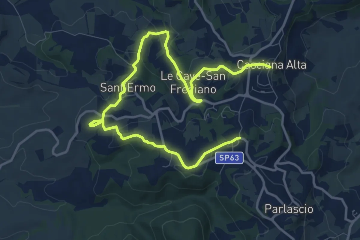
Medium · Trail
Antica Via dell'Acqua
12.3 km · ↑ 332 m · 3 h 37 min · 15 km away