Trails near Pontremoli
133 hikes starting within 15 km, nearest first.
Nearest first, page 3 of 3
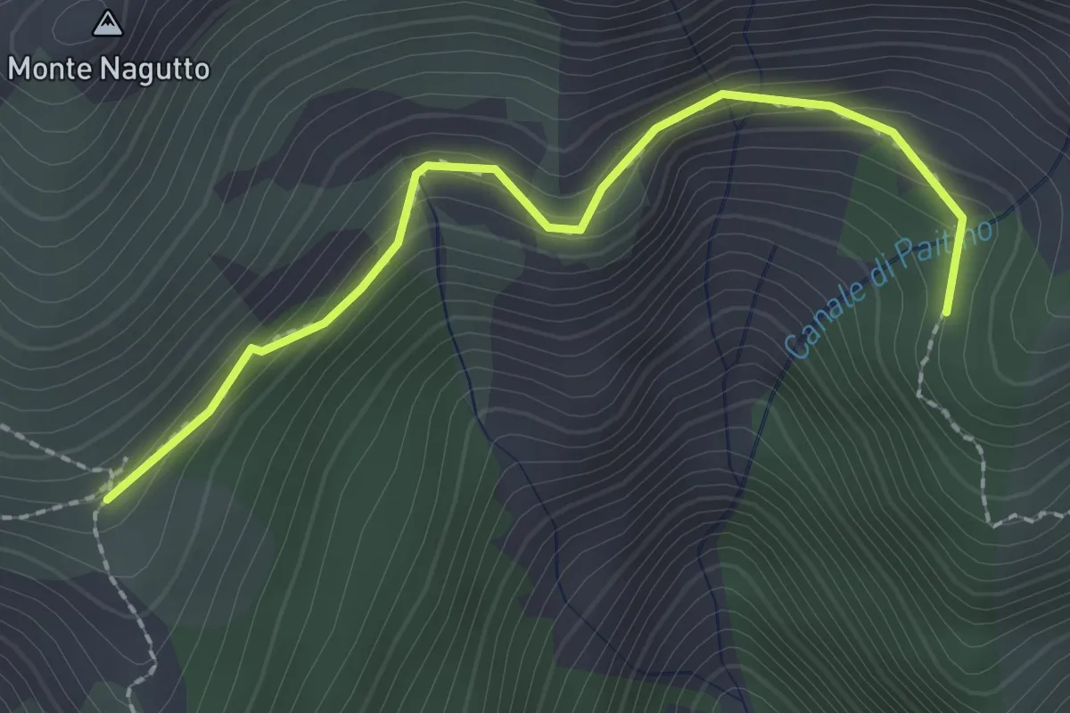
Easy · Trail
Pianelli di Lola – Capanna Tornini
2.3 km · ↑ 177 m · 56 min · 13 km away
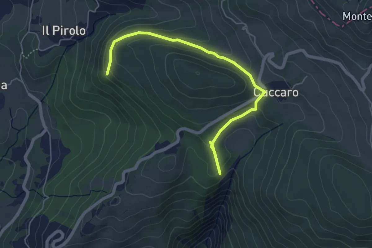
Easy · Trail
Pineta di Rocchetta - Cuccaro - Bivio 154
5.1 km · ↑ 178 m · 1 h 35 min · 13 km away
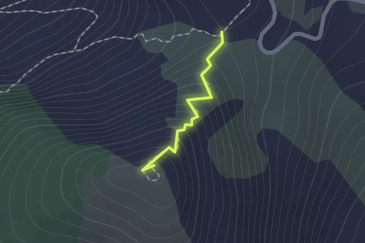
Medium · Summit
Foce Dragnone – Dragnone (Via Crucis) – Bivio 141
1.0 km · ↑ 119 m · 29 min · 13 km away
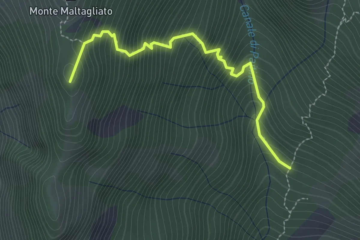
Medium · Summit
Capanne di Iera – Pianelli di Lola
2.7 km · ↑ 407 m · 1 h 31 min · 13 km away
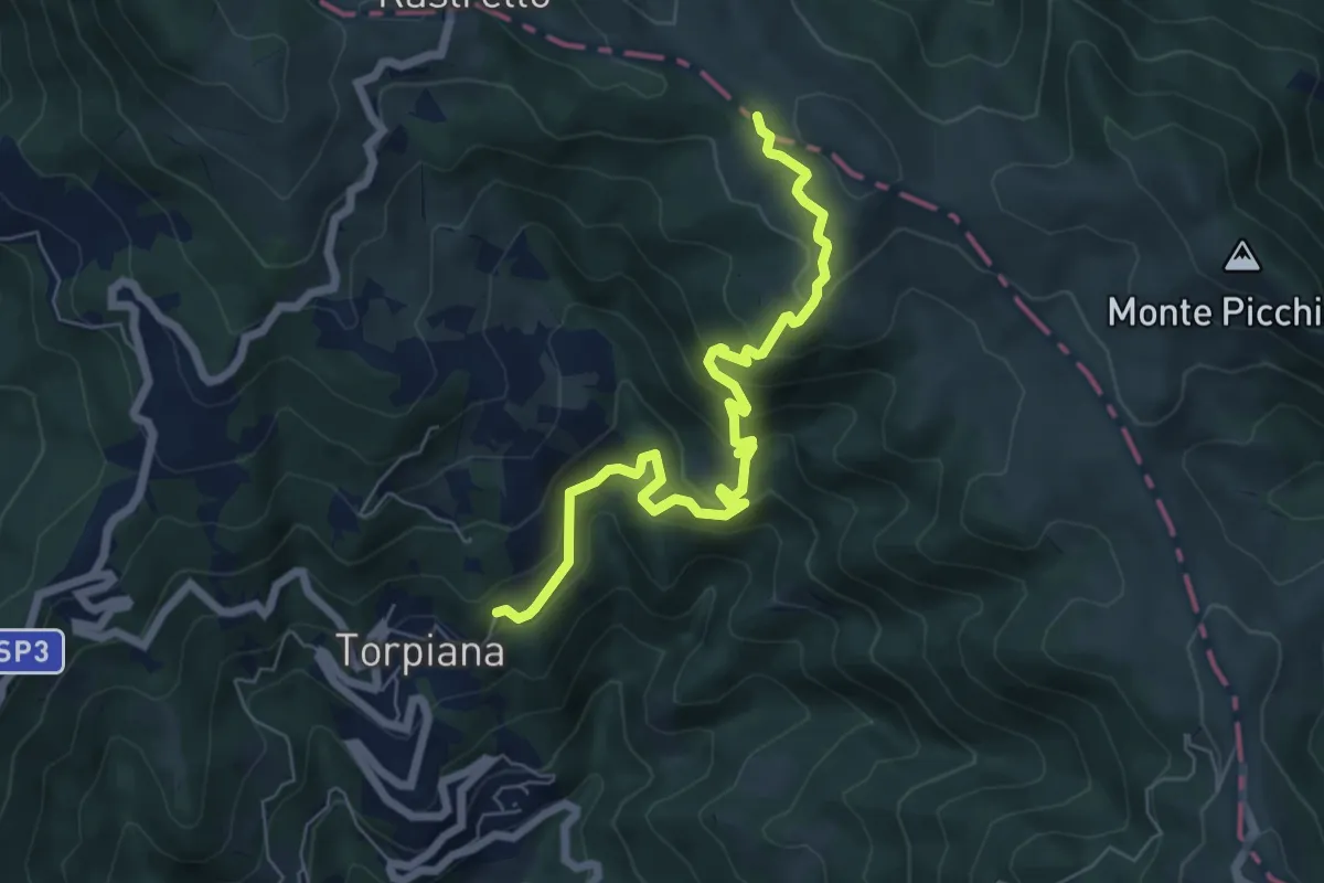
Medium · Trail
Torpiana – Costa Cavallara – Foce di Cavagina
7.1 km · ↑ 521 m · 2 h 48 min · 14 km away
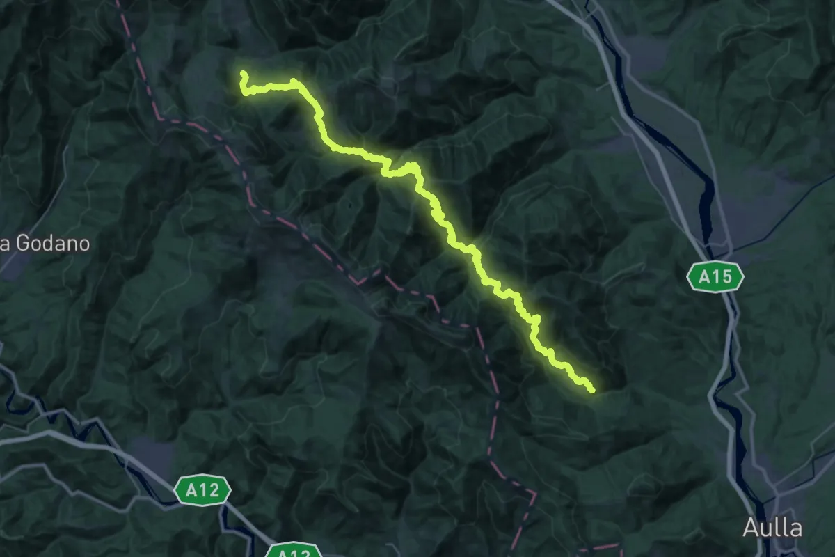
Demanding · Trail
Trekking Lunigiana 2
23.4 km · ↑ 1648 m · 9 h 14 min · 14 km away
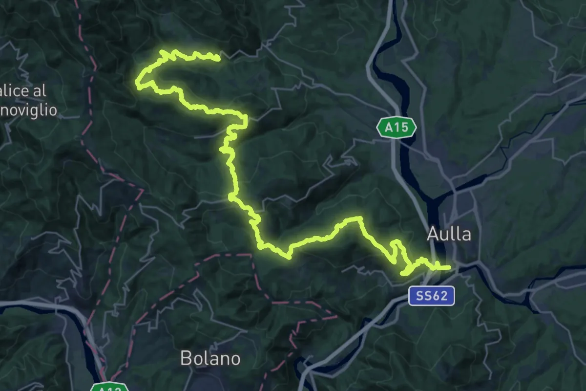
Demanding · Trail
Trekking Lunigiana 1
20.5 km · ↑ 935 m · 7 h 16 min · 14 km away
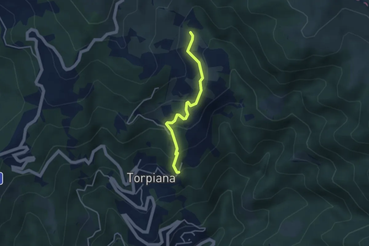
Medium · Trail
Torpiana - Case Erbazzana
2.9 km · ↑ 212 m · 1 h 9 min · 14 km away
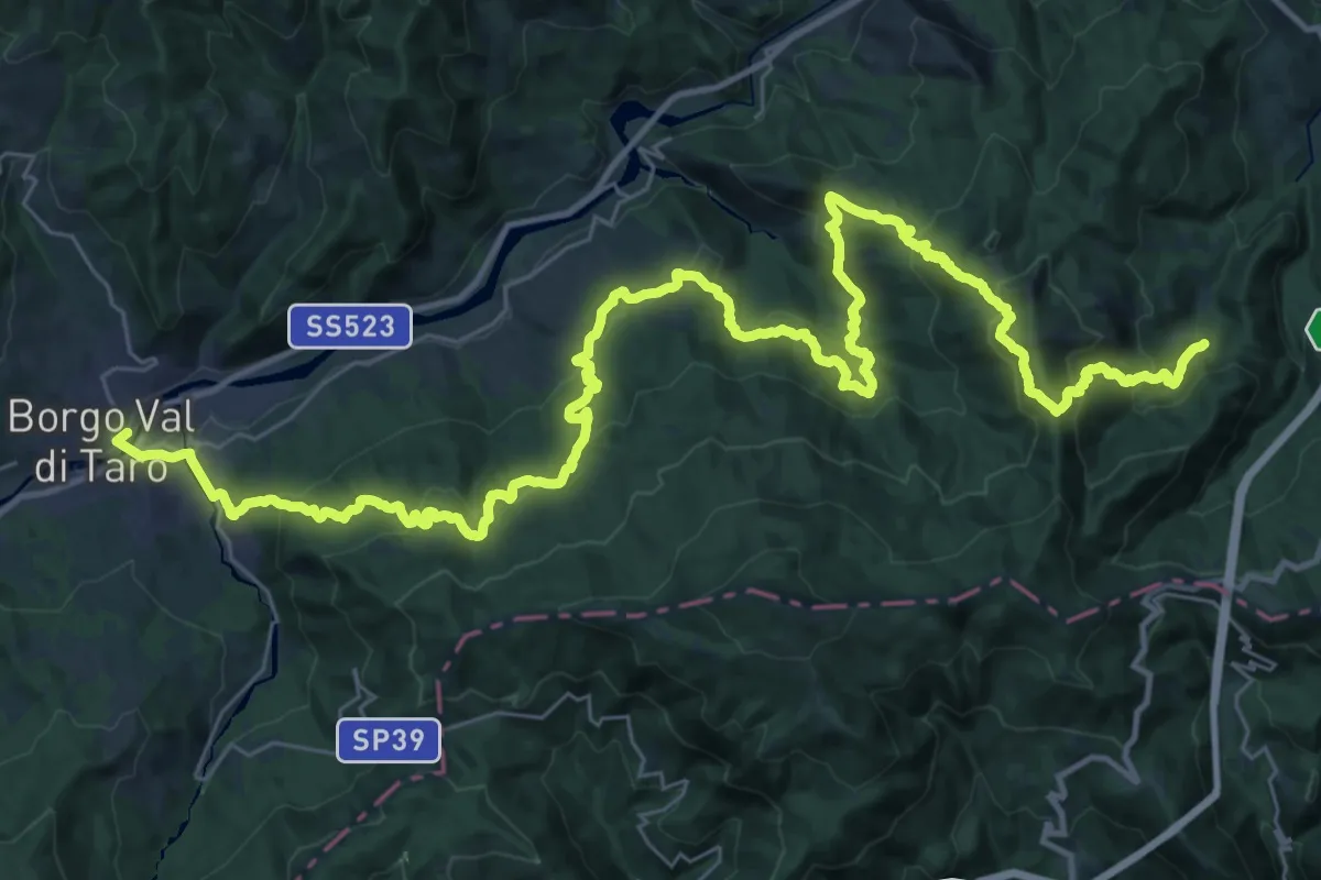
Demanding · Trail
Corchia - La Cala' - Belforte - P. del Lago - Borgotaro
25.3 km · ↑ 1076 m · 8 h 47 min · 14 km away
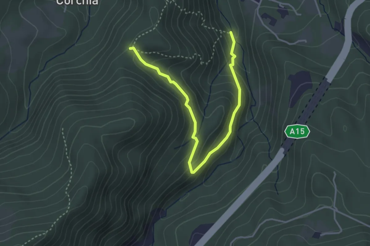
Easy · Trail
Valbona - Costa Mezzana - Casa Findone
4.1 km · ↑ 223 m · 1 h 27 min · 14 km away
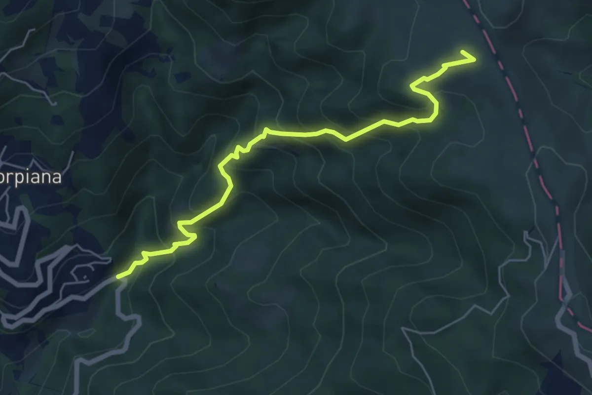
Medium · Summit
Valgiuncata - Casa la Foce - Serra Maggiore - Monte Stronzo (Bivio AVML)
5.7 km · ↑ 553 m · 2 h 32 min · 14 km away
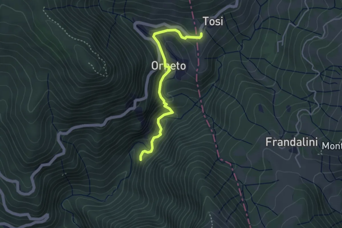
Easy · Trail
Spiaggie – Orneto – Costa dei Tosi
3.5 km · ↑ 171 m · 1 h 12 min · 14 km away
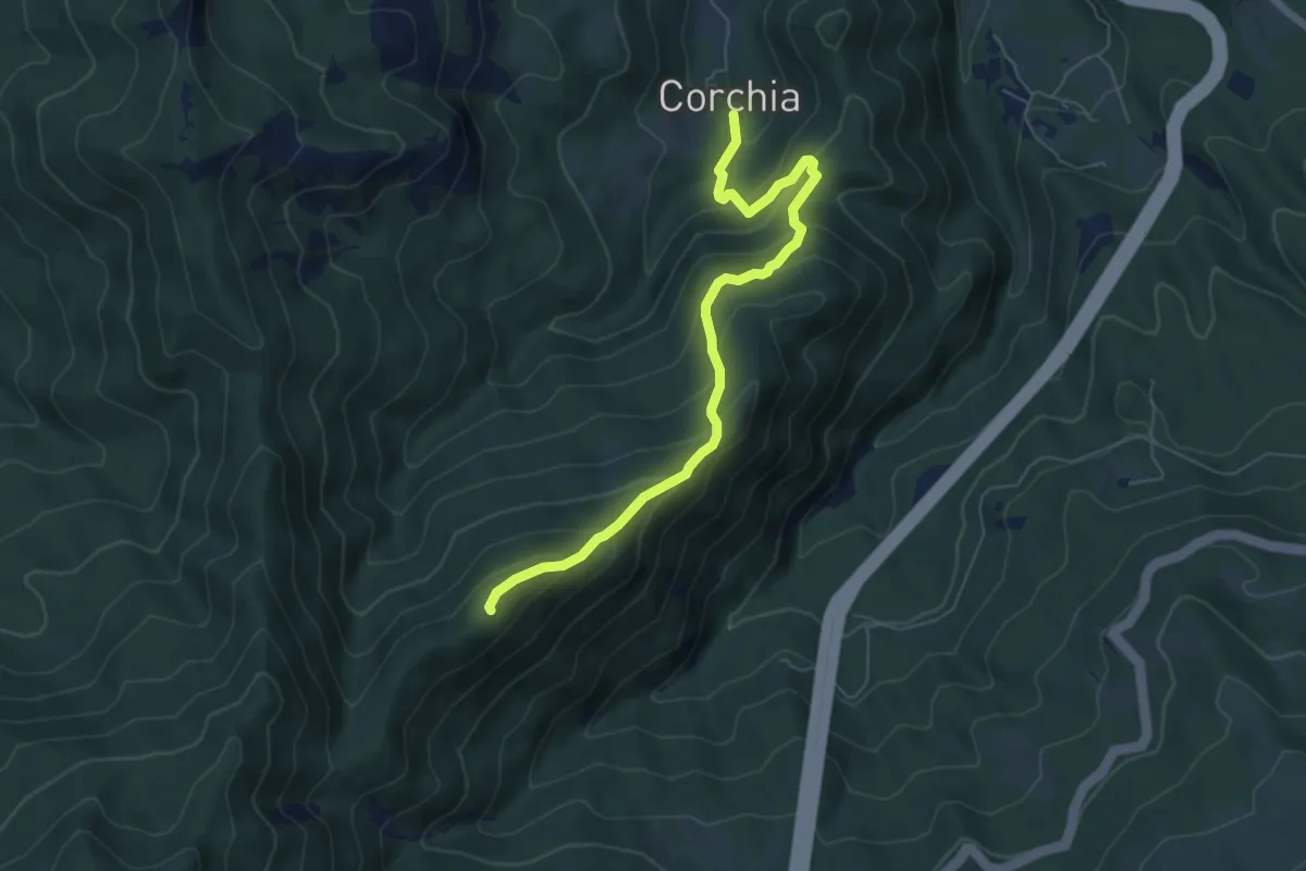
Medium · Summit
Corchia – Termine del Gatto
6.6 km · ↑ 506 m · 2 h 39 min · 14 km away
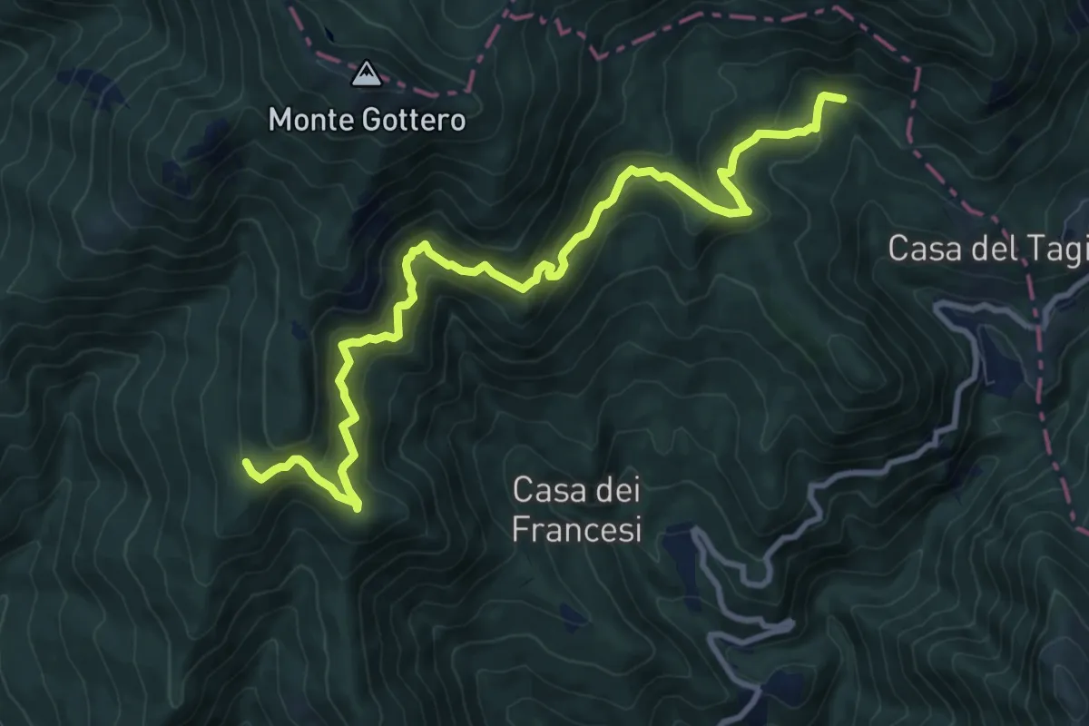
Demanding · Trail
Bivio AVML (Cardeia) - Casa Menage - Prato del Malone (Strada dei carrelli)
11.1 km · ↑ 853 m · 4 h 28 min · 14 km away
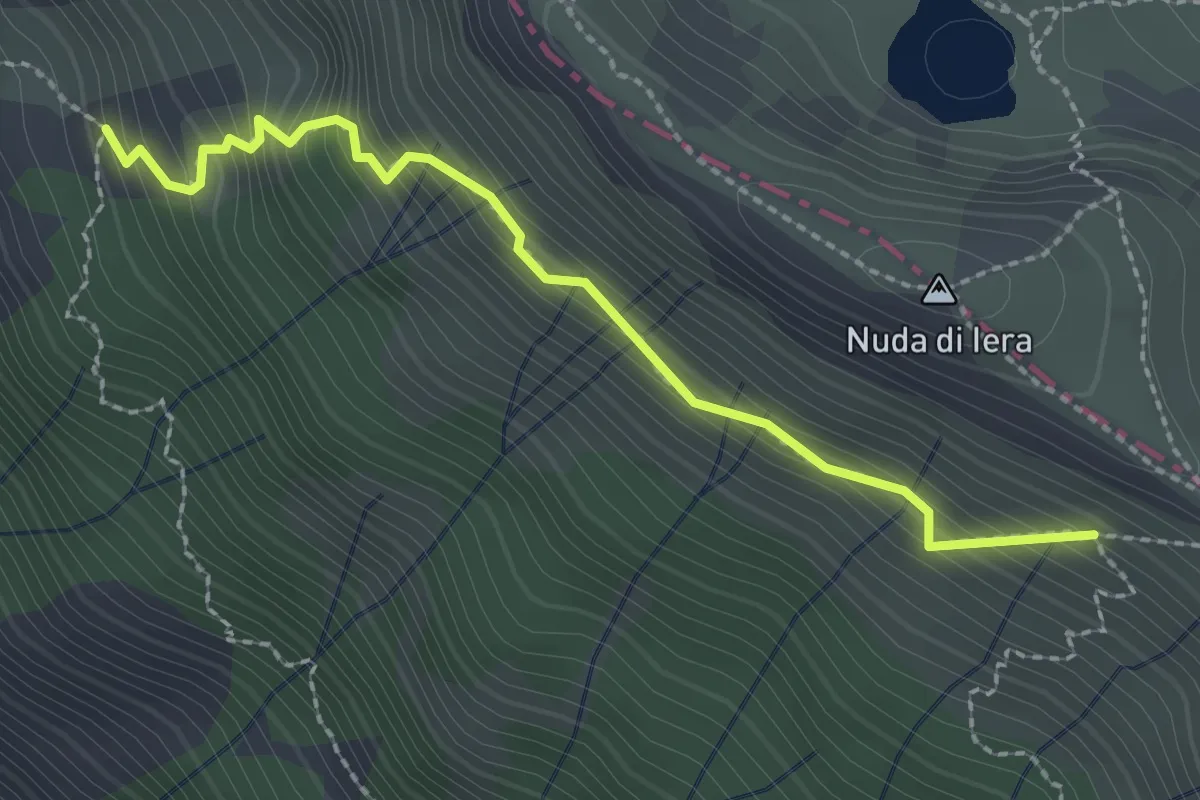
Medium · Trail
Capanne in Garbia – Passo Compione
2.5 km · ↑ 329 m · 1 h 18 min · 14 km away
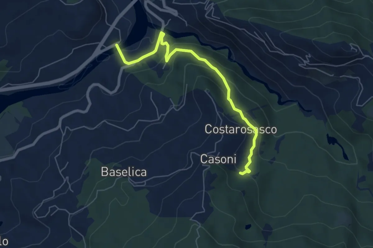
Easy · Trail
Magrano - Ostia - Pian della Stella - Casoni Est
6.0 km · ↑ 276 m · 2 h · 14 km away
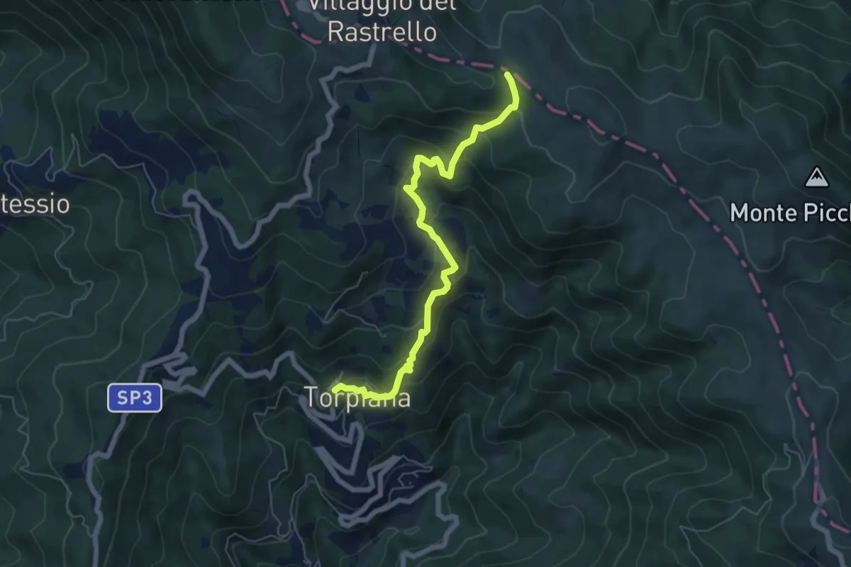
Medium · Trail
Torpiana - Case Erbazzana - Foce di Cavagina
6.2 km · ↑ 512 m · 2 h 34 min · 14 km away
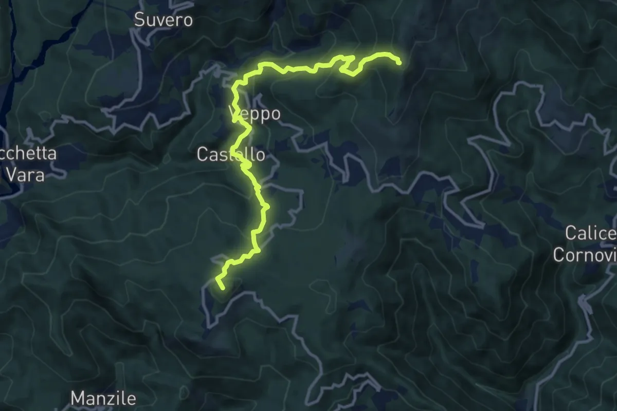
Demanding · Summit
Beverone – Volpara – Castello – Montale – Piazza – Gruzza di Veppo (Bivio 152)
11.7 km · ↑ 901 m · 4 h 43 min · 14 km away
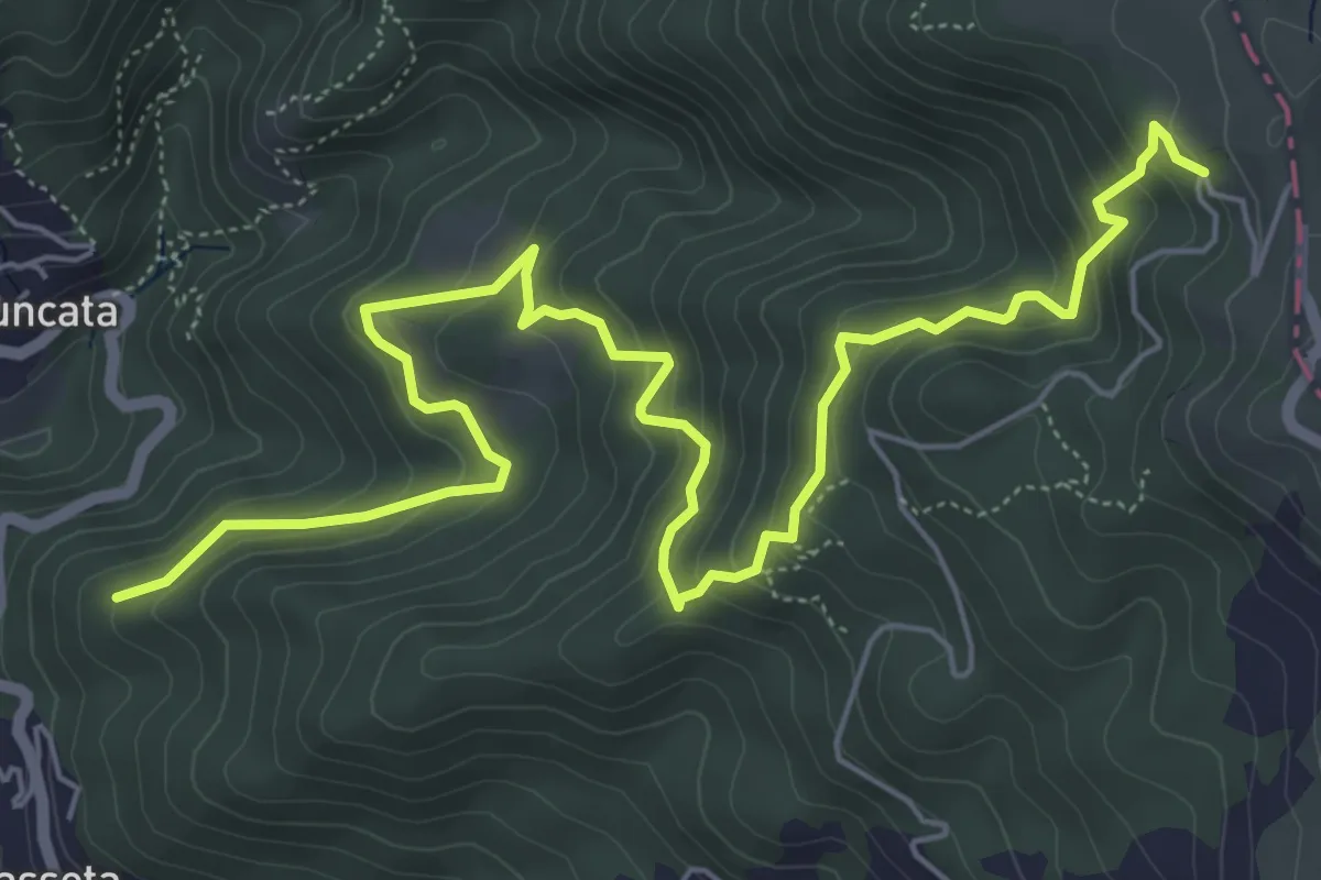
Medium · Trail
Vigà - Castagnolo - Martelletto - Foce di Colle Fiorito (Bivio AVML)
8.4 km · ↑ 663 m · 3 h 25 min · 14 km away
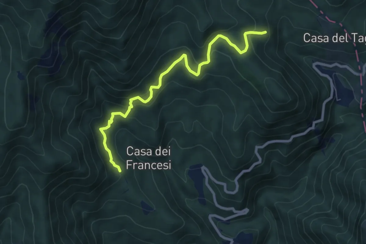
Medium · Trail
Il Corno - Pian di Mezzo - Casa menage - Cascine
7.0 km · ↑ 492 m · 2 h 43 min · 14 km away
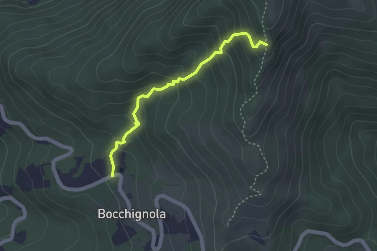
Easy · Trail
Bocchignola - Case Gratine - Innesto 152
3.0 km · ↑ 261 m · 1 h 17 min · 14 km away
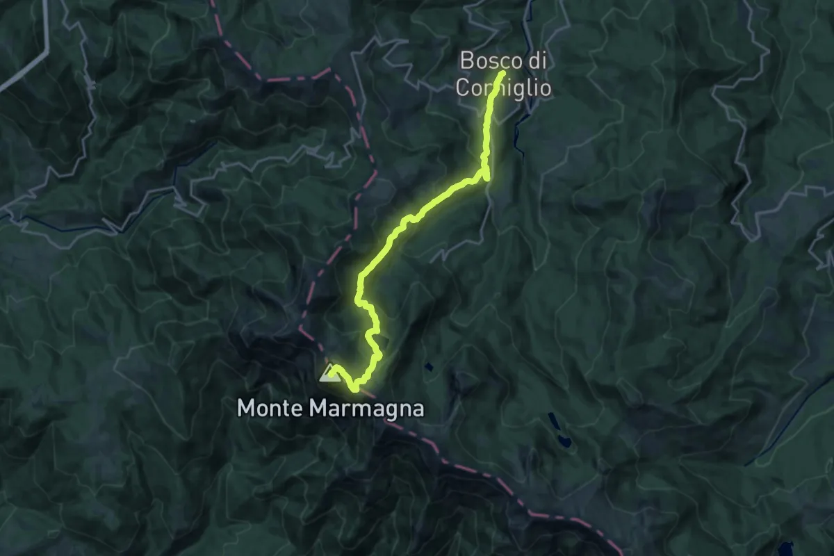
Demanding · Summit
Sentiero di Maria Luigia
18.1 km · ↑ 1062 m · 6 h 34 min · 14 km away
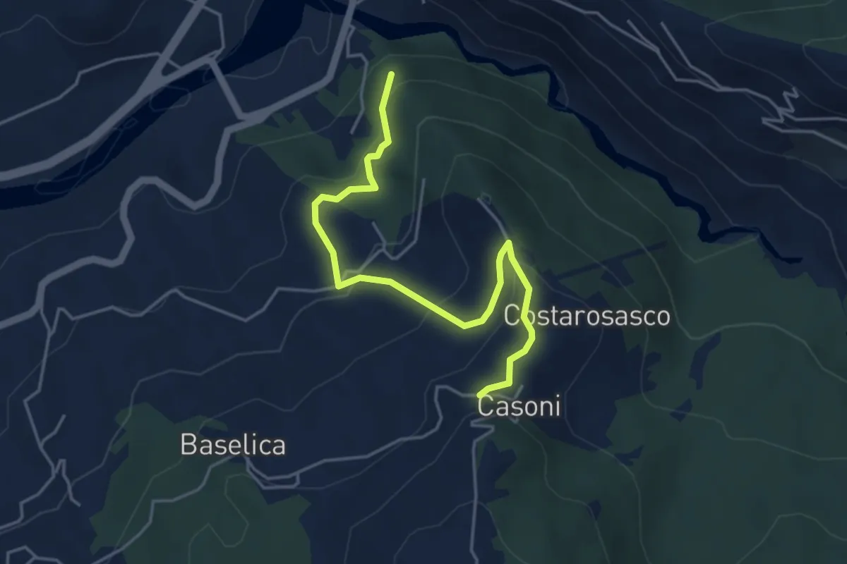
Easy · Trail
Pian della Stella - Casoni Ovest
4.7 km · ↑ 250 m · 1 h 39 min · 14 km away
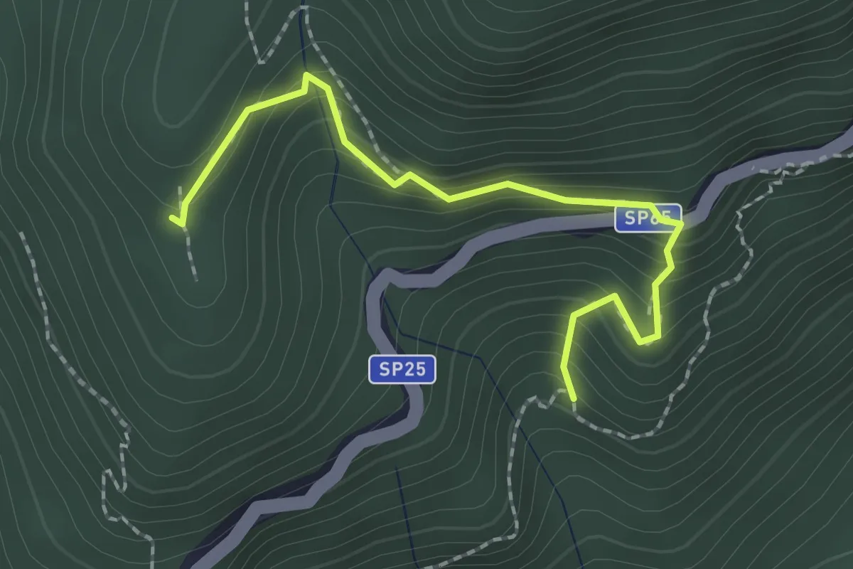
Easy · Trail
Costa della Penna – Pasti – Cuccarello (Collegamento 127-128V)
2.2 km · ↑ 203 m · 57 min · 14 km away
Medium · Trail
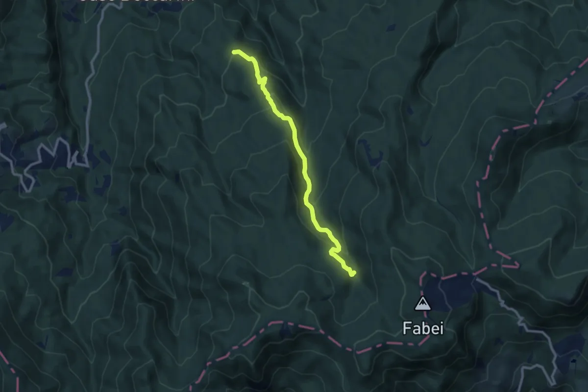
Monte Pianazzi-Torrente Lecora-Castello Tondo
8.5 km · ↑ 455 m · 3 h · 14 km away
Medium · Trail
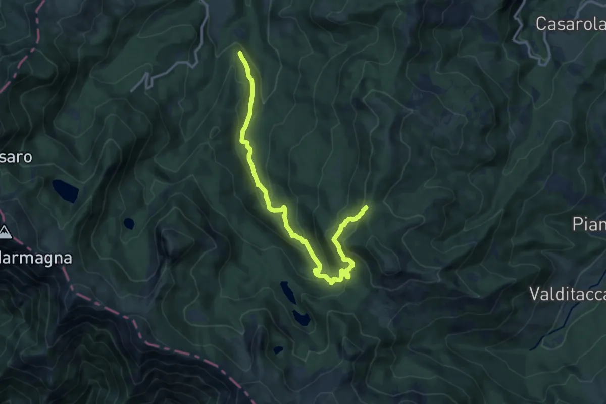
Bivio 721 – Pian del Freddo
12.3 km · ↑ 668 m · 4 h 21 min · 14 km away
Medium · Summit
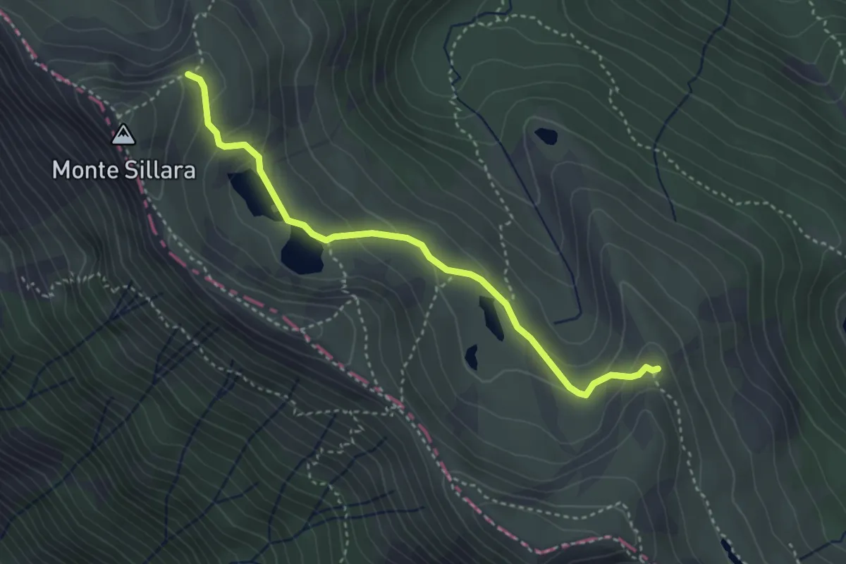
Prato Spilla - Rocca dei Frasconi - Laghi del Sillara - percorso 711C
3.7 km · ↑ 160 m · 1 h 13 min · 15 km away
Medium · Trail
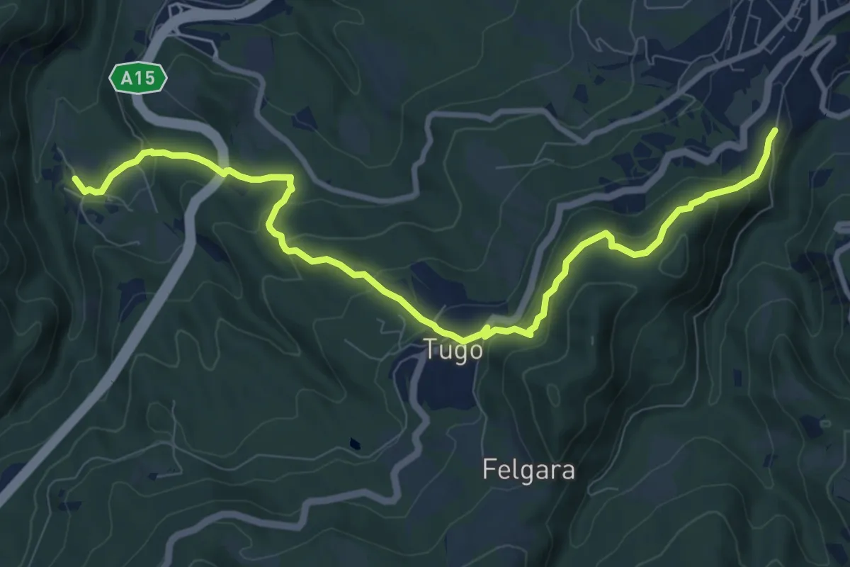
Costella del Poggio di Berceto – Valbona Castello
10.5 km · ↑ 547 m · 3 h 40 min · 15 km away
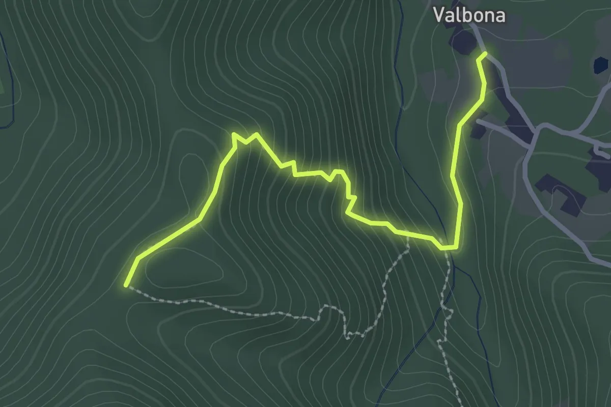
Easy · Trail
Valbona - Casa Findone
2.8 km · ↑ 200 m · 1 h 6 min · 15 km away
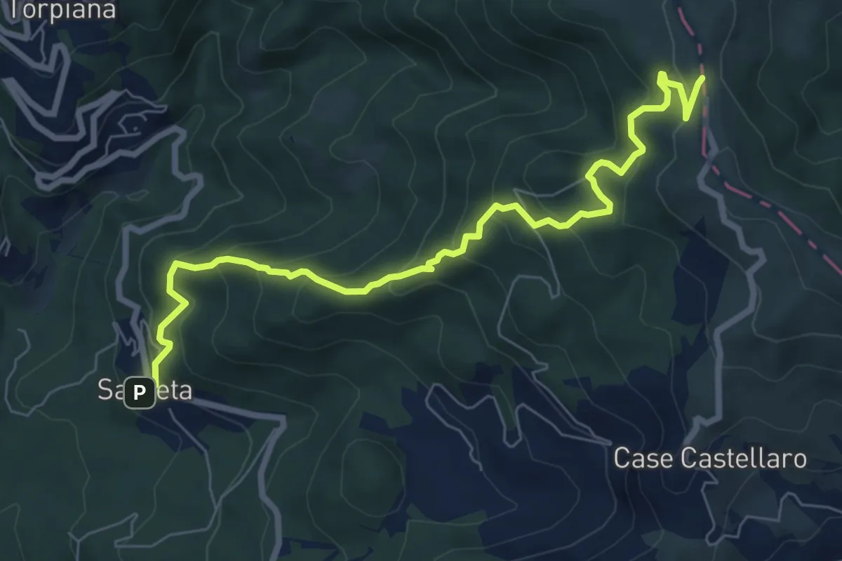
Medium · Trail
Sasseta – Castagnolo - Foce di Colle Fiorito (Bivio AVML)
8.1 km · ↑ 654 m · 3 h 19 min · 15 km away
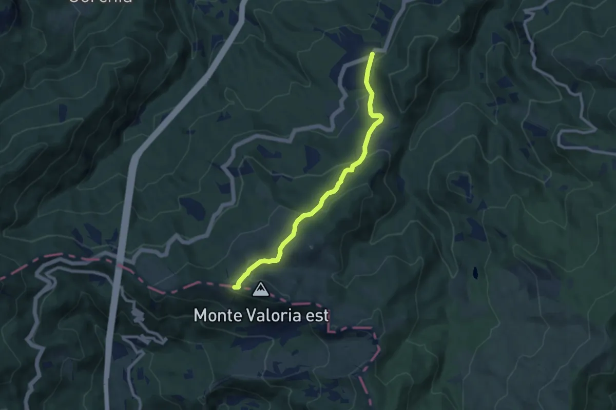
Medium · Summit
Il Tugo - Monte Valoria
7.6 km · ↑ 340 m · 2 h 32 min · 15 km away
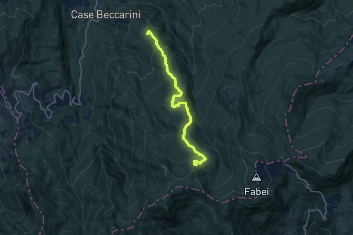
Medium · Summit
Monte Becco Mozzo-Castello Tondo-Fontana delle Piane
11.0 km · ↑ 605 m · 3 h 54 min · 15 km away
Medium · Trail
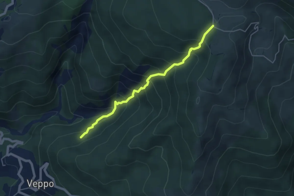
Innesto 153 - Fosso Della Gruzza - Gruzza di Veppo
4.0 km · ↑ 467 m · 1 h 58 min · 15 km away
Demanding · Trail
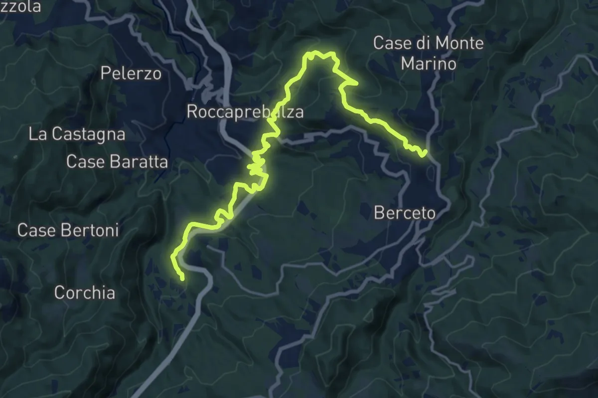
Statale della Cisa – Valbona
19.6 km · ↑ 686 m · 6 h 7 min · 15 km away
Medium · Summit
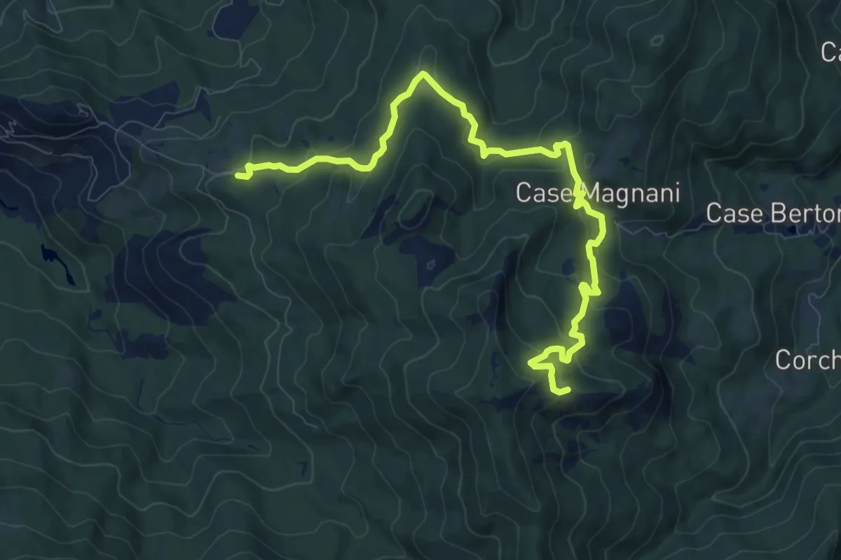
Carpaneto (percorso 833) – La Cala'
11.4 km · ↑ 588 m · 3 h 58 min · 15 km away
Medium · Trail
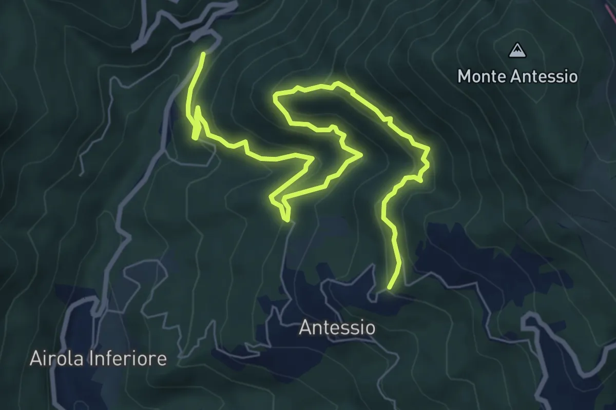
Ponte Garolo-Monte Fenocchia-Antessio
9.5 km · ↑ 592 m · 3 h 32 min · 15 km away
Easy · Trail
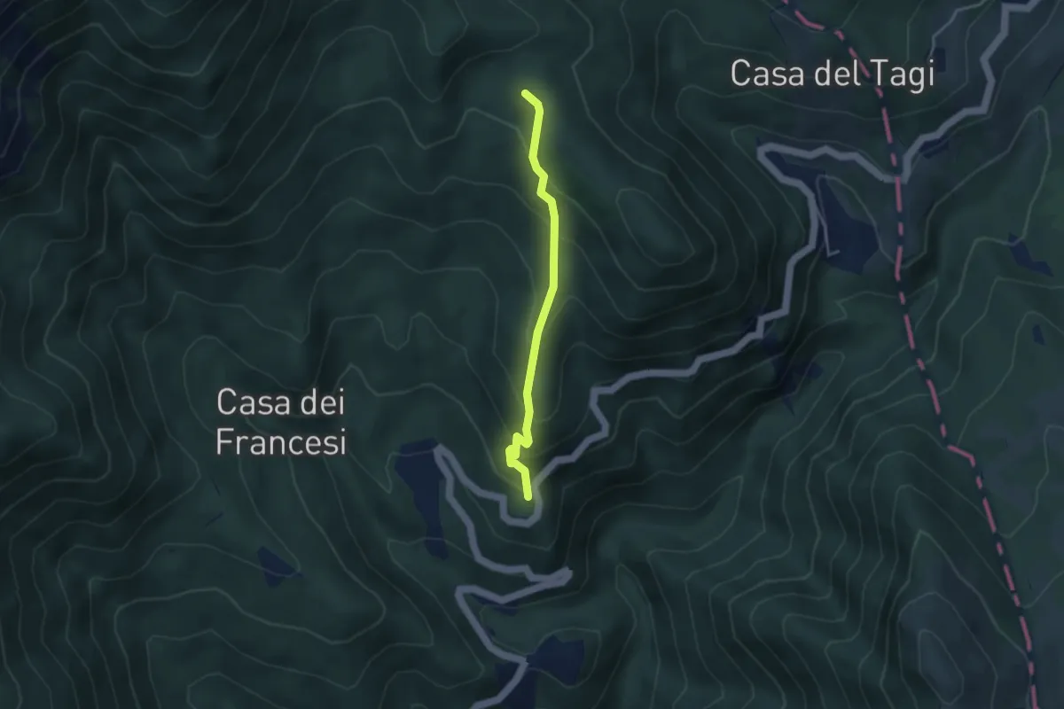
Costa della Penna - Cuccarello - Casa Menage
3.3 km · ↑ 280 m · 1 h 23 min · 15 km away