Trails near Portoferraio
60 hikes starting within 15 km, nearest first.
Nearest first, page 1 of 2
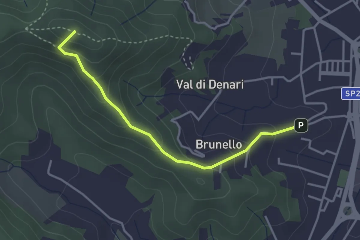
Easy · Summit
Brunello - Portoferraio – 247
3.3 km · ↑ 213 m · 1 h 14 min · 2 km away
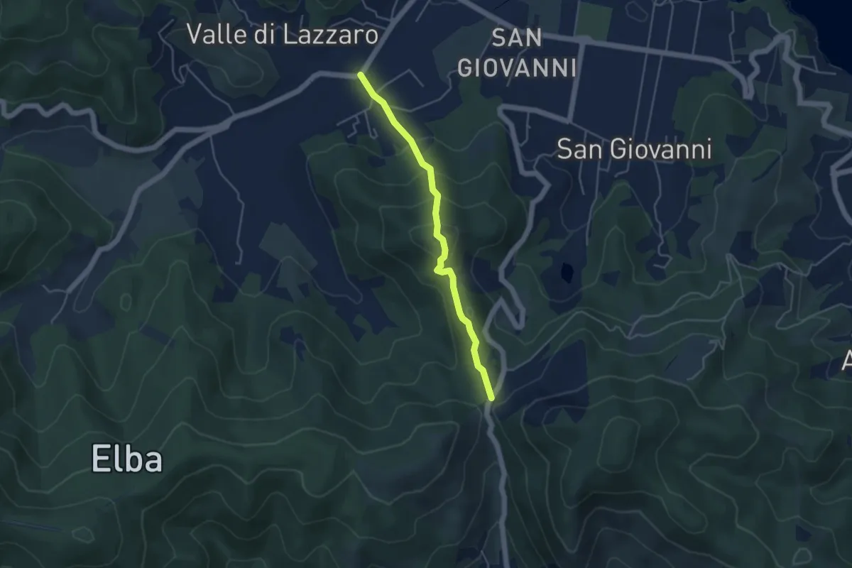
Medium · Trail
Colle Reciso – Le Foci
4.2 km · ↑ 285 m · 1 h 37 min · 3 km away
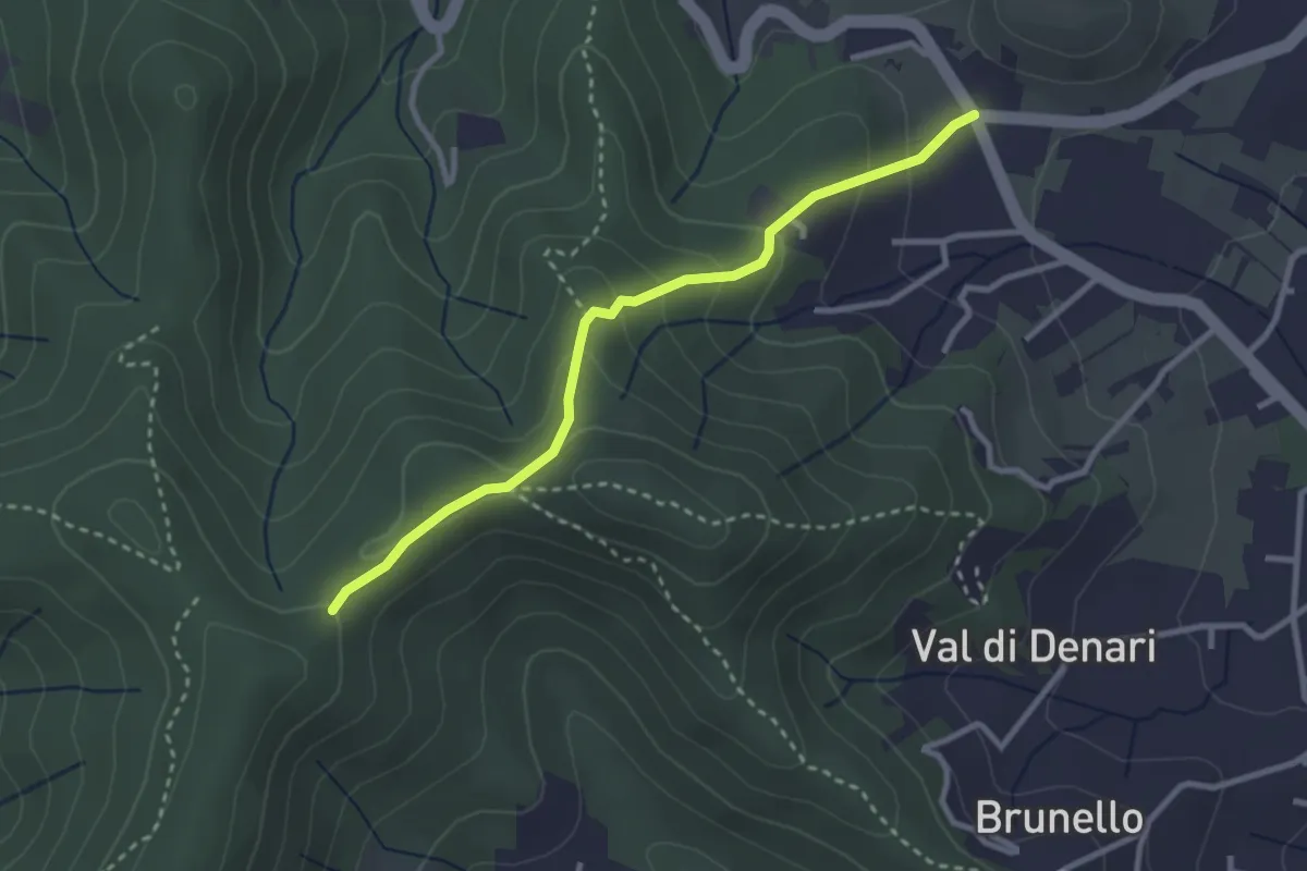
Easy · Trail
248 – via Einaudi (Portoferraio)
3.0 km · ↑ 152 m · 1 h 3 min · 4 km away
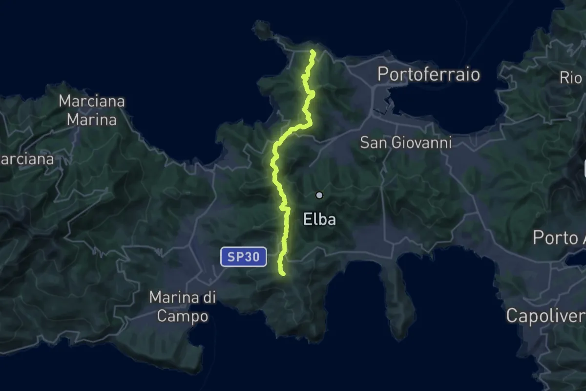
Demanding · Summit
La via dei rosmarini
19.3 km · ↑ 888 m · 6 h 28 min · 4 km away
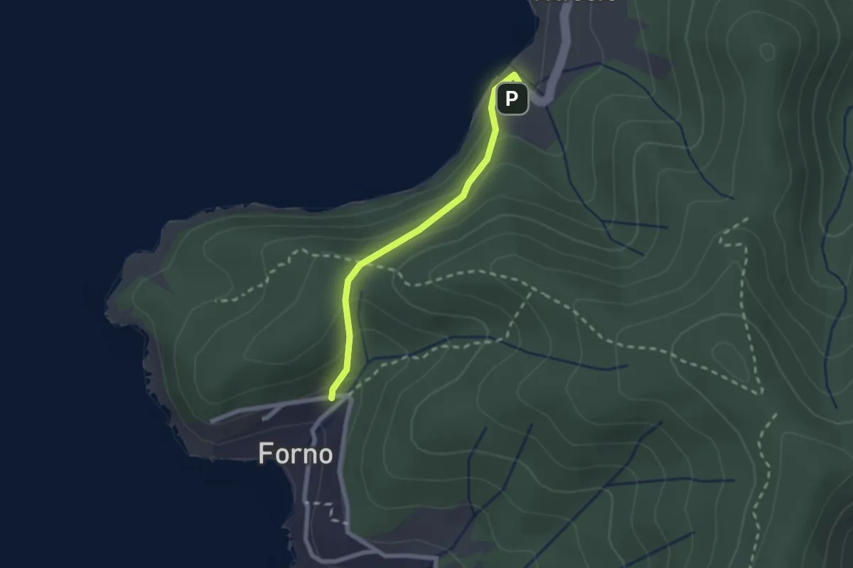
Medium · Trail
Scaglieri – Viticcio
2.1 km · ↑ 131 m · 47 min · 5 km away
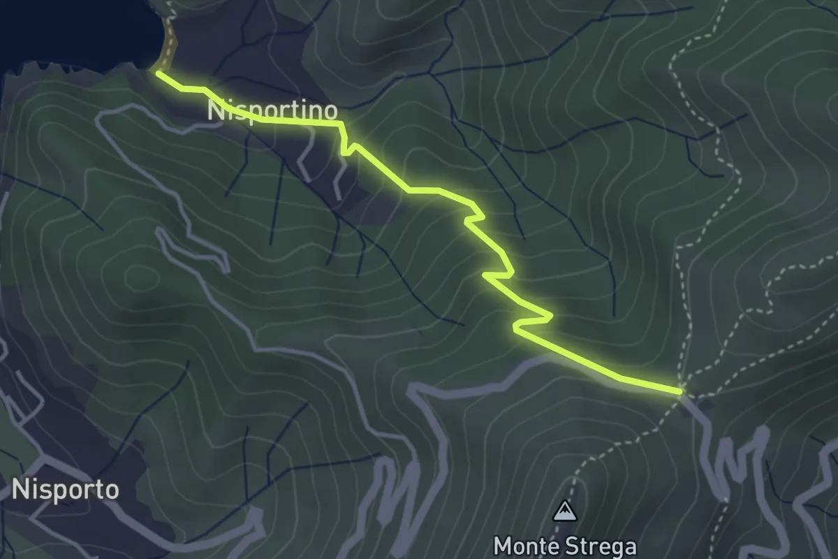
Easy · Trail
Aia di Cacio – Nisportino
4.0 km · ↑ 291 m · 1 h 35 min · 5 km away
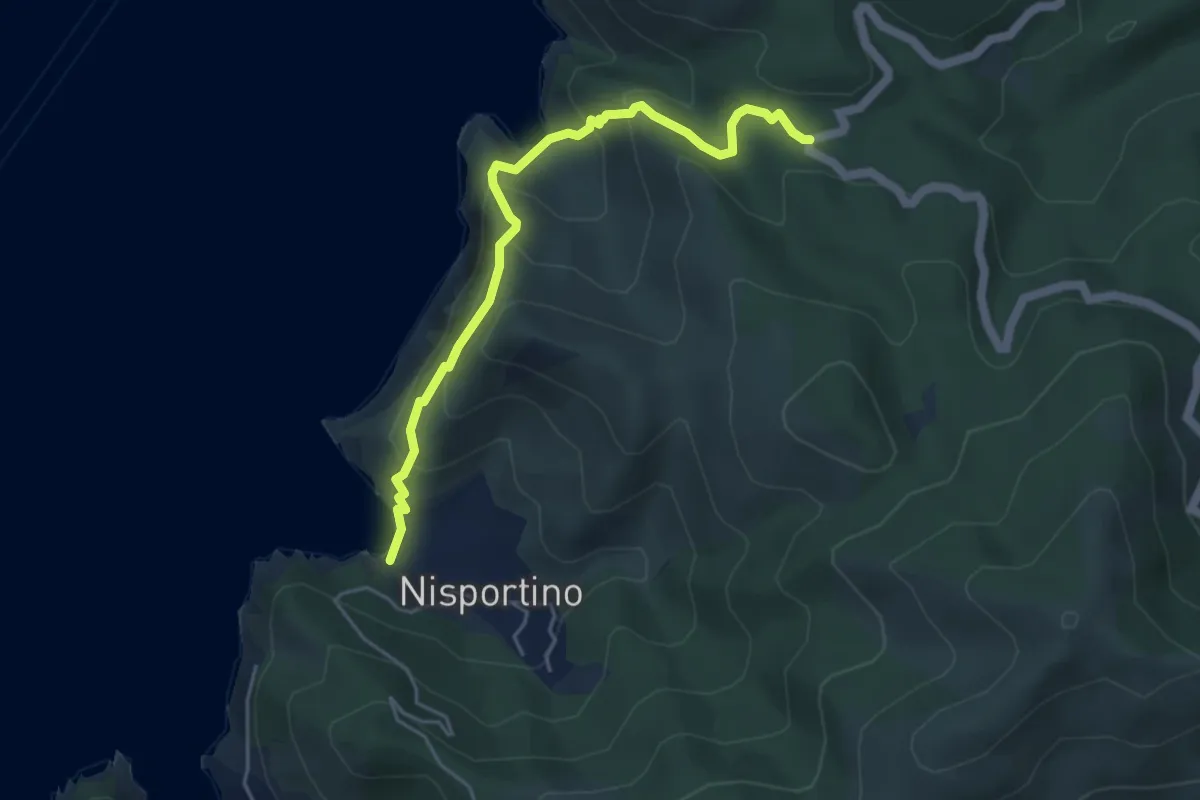
Demanding · Trail
Nisportino – Fortunataccio
5.1 km · ↑ 353 m · 1 h 58 min · 5 km away
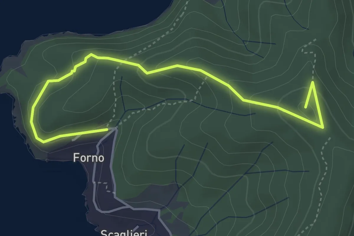
Easy · Summit
Scaglieri – 248
4.9 km · ↑ 293 m · 1 h 47 min · 5 km away
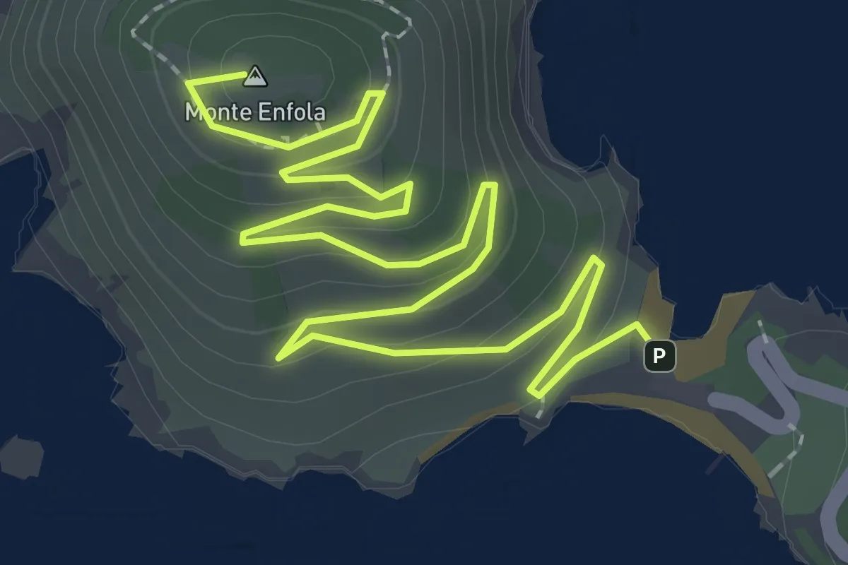
Easy · Summit
Enfola – Capo d'Enfola
3.7 km · ↑ 235 m · 1 h 23 min · 5 km away
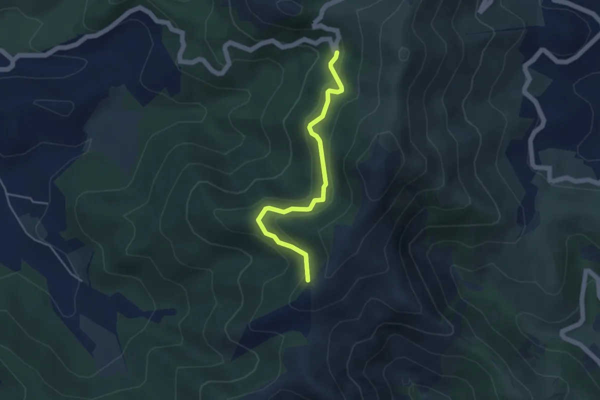
Easy · Trail
SP32 del Volterraio – GTE
3.7 km · ↑ 237 m · 1 h 24 min · 5 km away
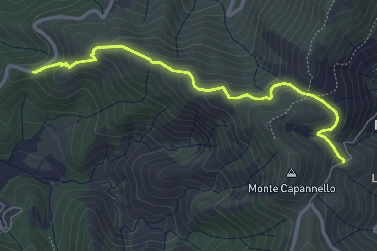
Medium · Trail
Via Sabba Galletti – Strada della Falconaia
5.5 km · ↑ 351 m · 2 h 3 min · 5 km away
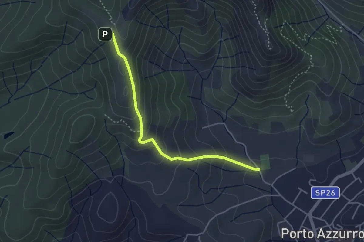
Easy · Trail
GTE – Campo sportivo Porto Azzurro
3.7 km · ↑ 243 m · 1 h 24 min · 5 km away
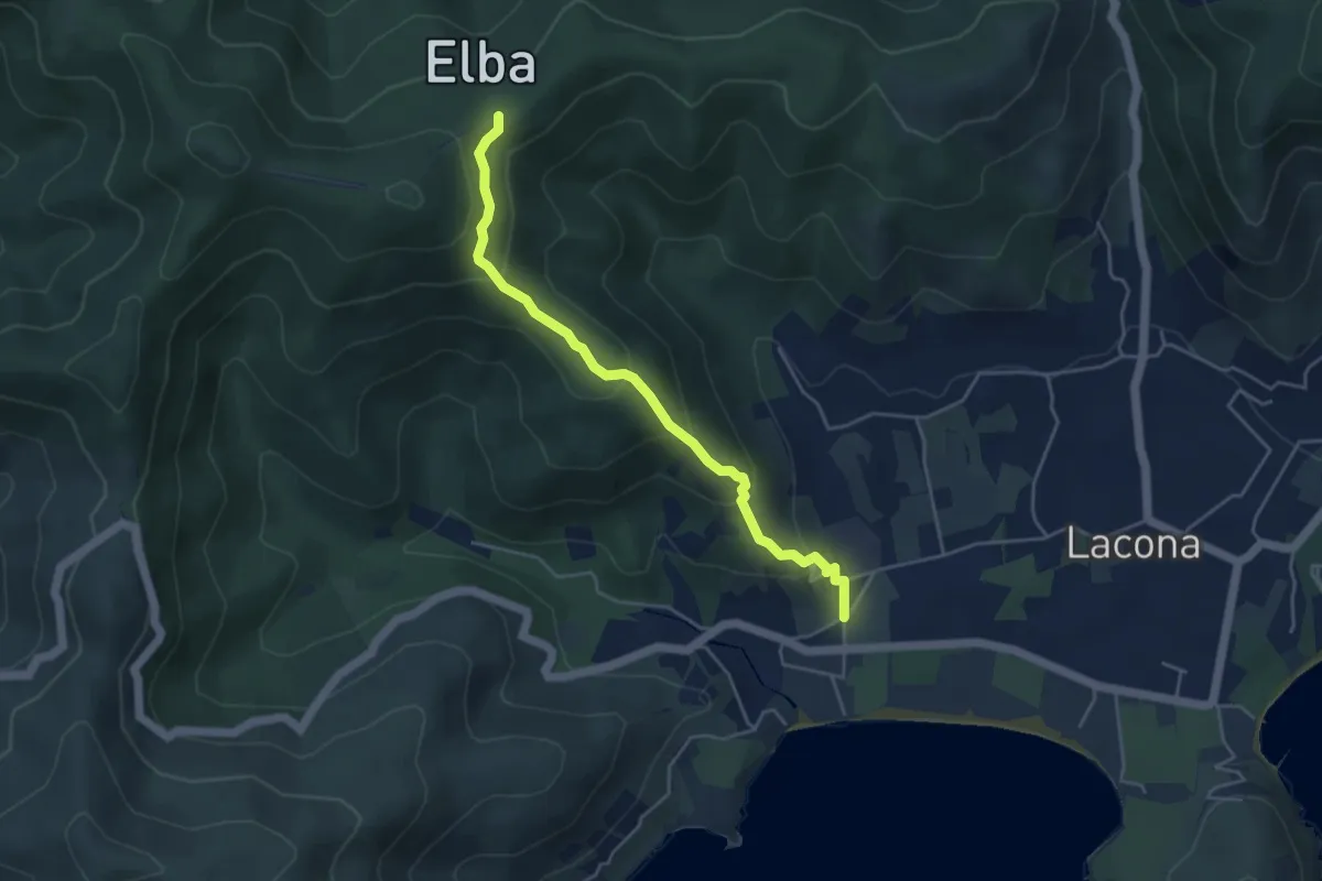
Medium · Trail
Lacona – GTE
4.7 km · ↑ 289 m · 1 h 44 min · 5 km away
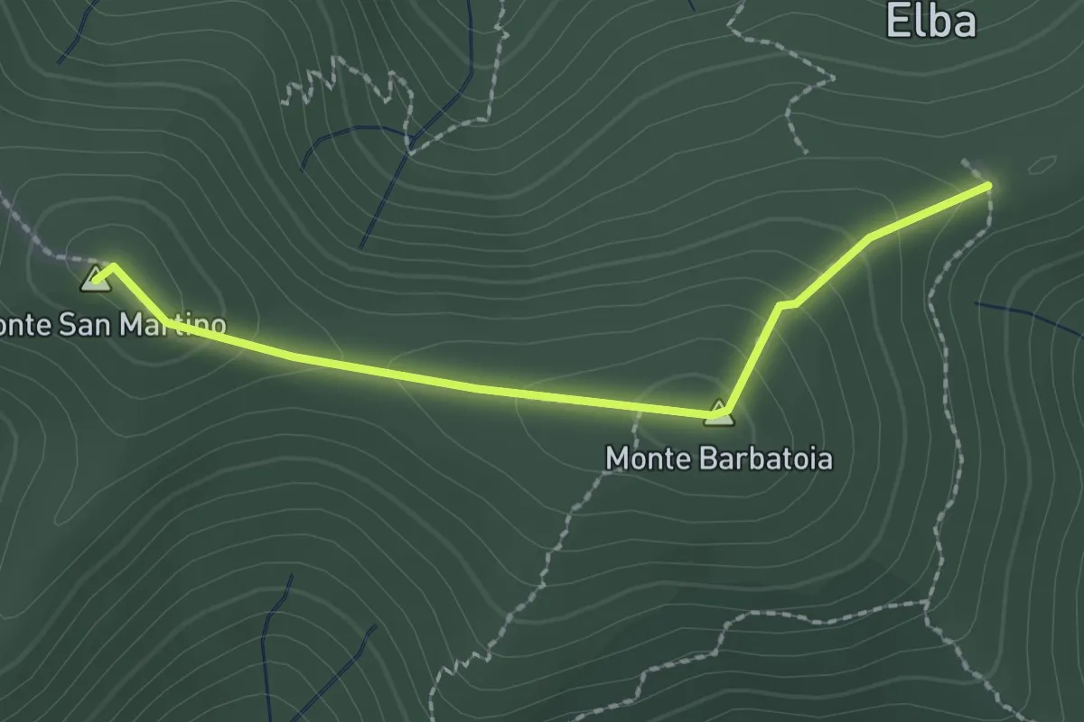
Medium · Summit
GTE – GTE
2.2 km · ↑ 121 m · 46 min · 5 km away
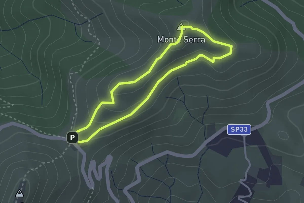
Easy · Summit
Aia di Cacio – Aia di Cacio
2.4 km · ↑ 110 m · 51 min · 6 km away
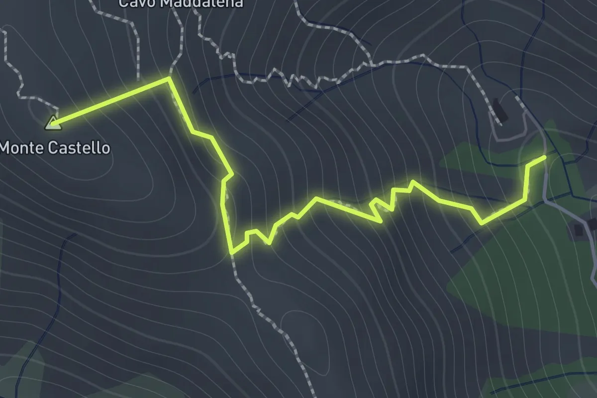
Demanding · Summit
Santuario della Madonna di Monserrato – GTE
1.8 km · ↑ 257 m · 59 min · 6 km away
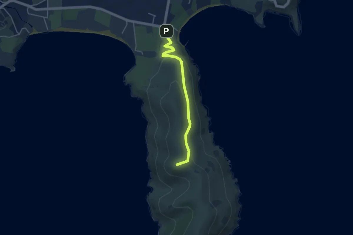
Easy · Summit
Capo di Stella
3.6 km · ↑ 140 m · 1 h 9 min · 6 km away
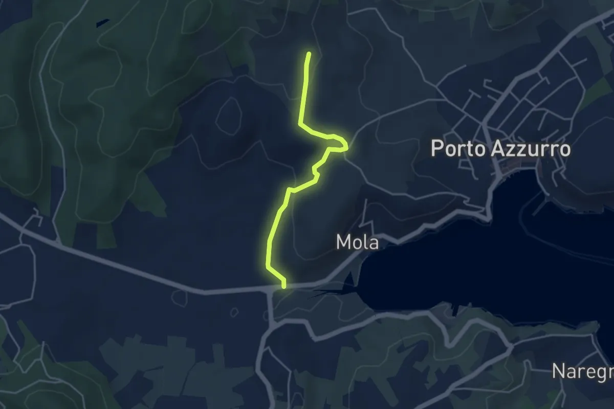
Easy · Trail
Mola – 210
3.6 km · ↑ 106 m · 1 h 5 min · 6 km away
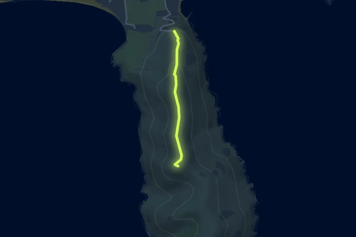
Easy · Summit
Monte Grosso
2.3 km · ↑ 119 m · 48 min · 6 km away
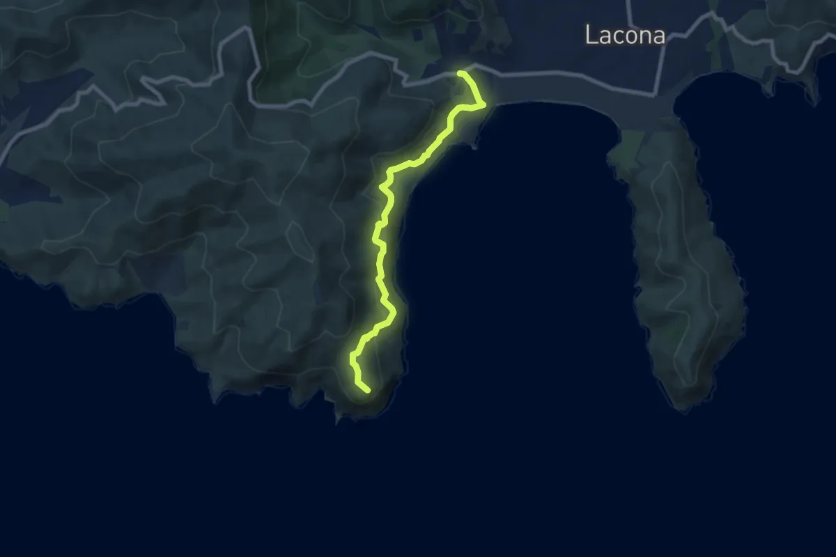
Medium · Trail
Capo Fonza – Lacona
7.6 km · ↑ 423 m · 2 h 42 min · 6 km away
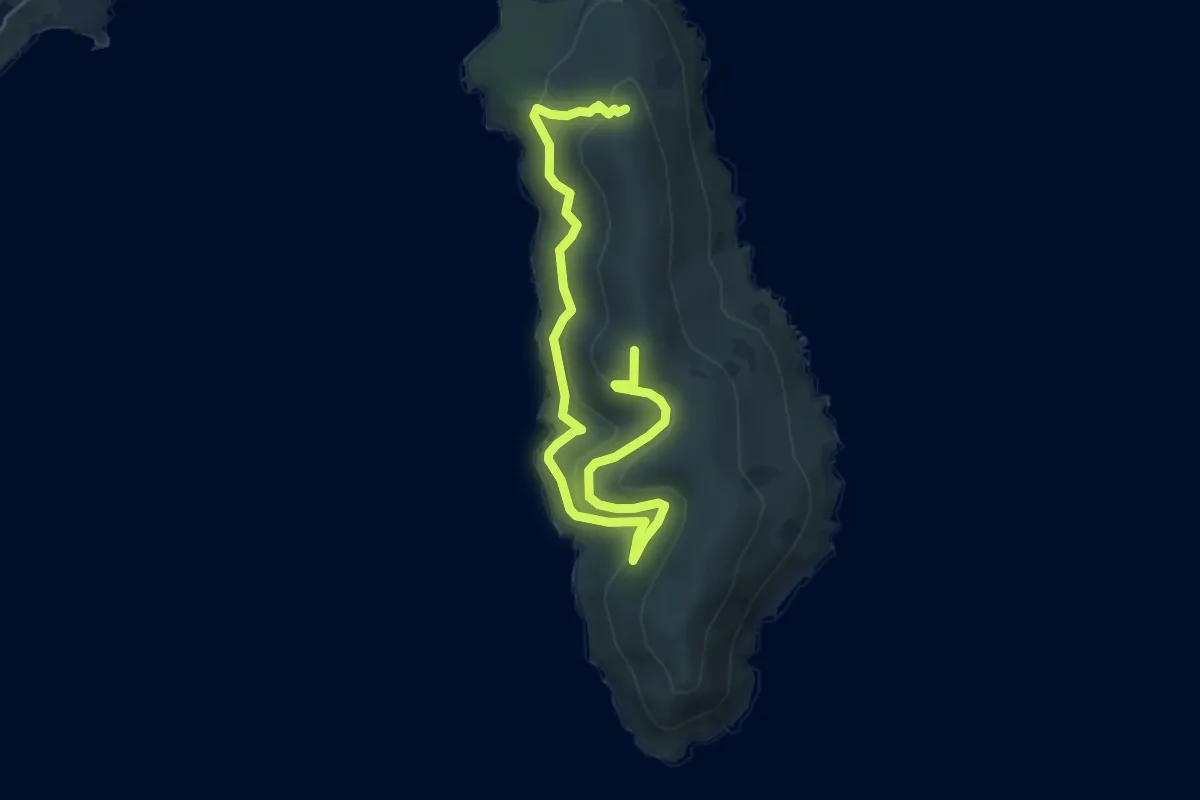
Medium · Summit
La Via della Calce
6.7 km · ↑ 441 m · 2 h 32 min · 7 km away
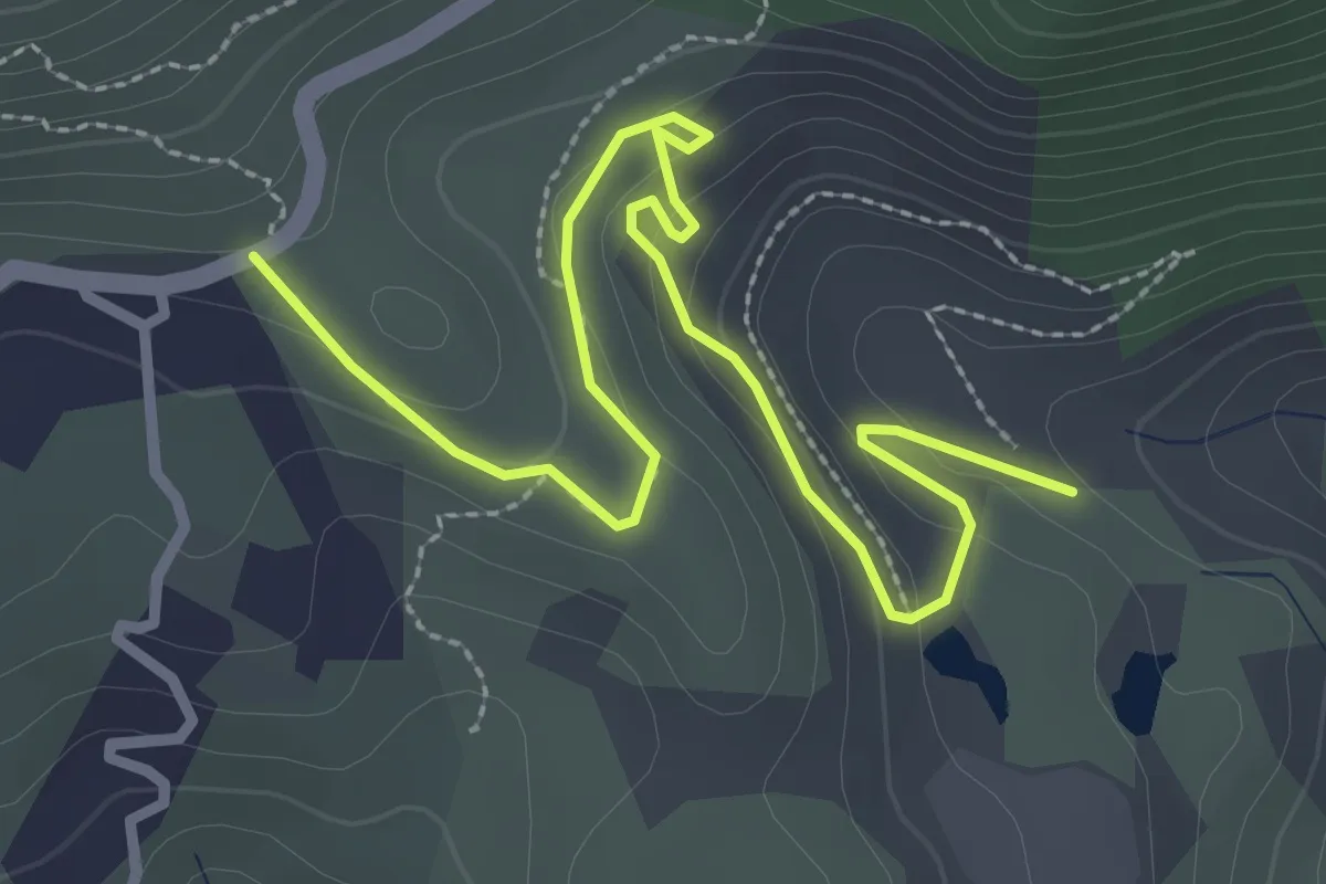
Easy · Trail
Parata – Cantiere Giove
3.7 km · ↑ 139 m · 1 h 11 min · 7 km away
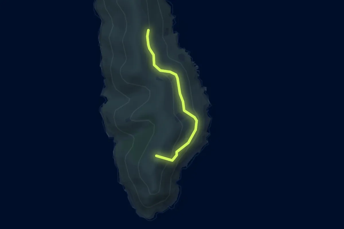
Easy · Summit
La via dell'Arco
3.1 km · ↑ 160 m · 1 h 5 min · 7 km away
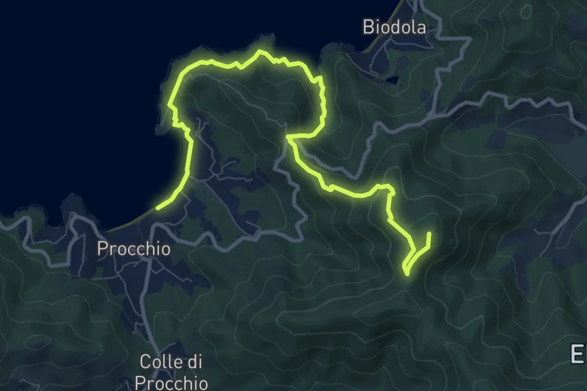
Medium · Summit
San Martino – Procchio
11.1 km · ↑ 488 m · 3 h 41 min · 7 km away
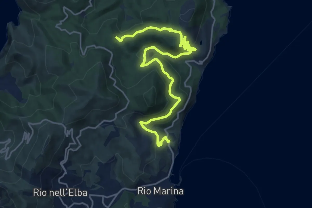
Medium · Trail
Rio Marina Vigneria – 200
16.4 km · ↑ 541 m · 5 h 2 min · 8 km away
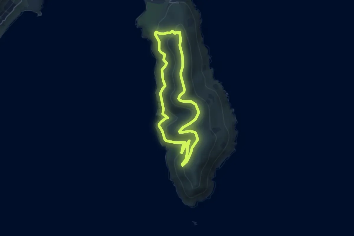
Easy · Summit
Anello della Calce
4.7 km · ↑ 253 m · 1 h 44 min · 8 km away
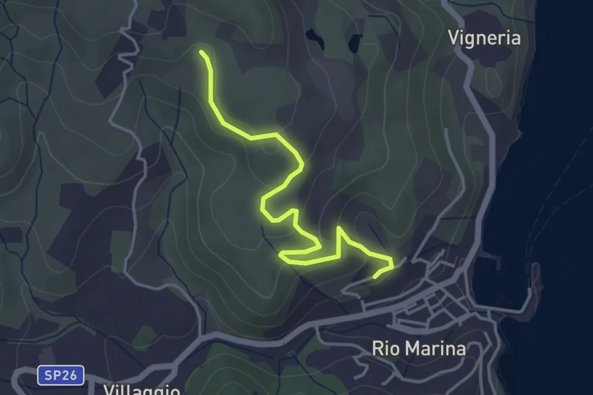
Easy · Trail
259 – anfiteatro
3.9 km · ↑ 156 m · 1 h 16 min · 8 km away
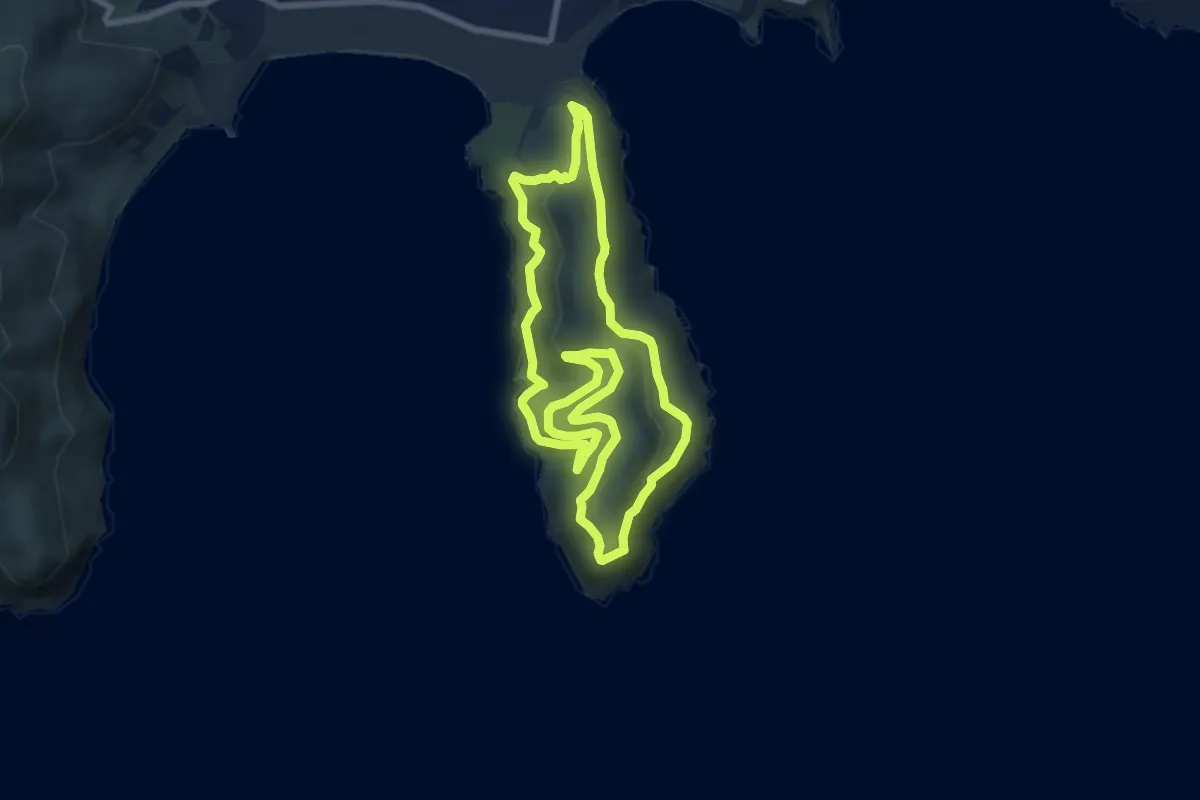
Medium · Summit
Anello della Stella
7.8 km · ↑ 442 m · 2 h 54 min · 8 km away
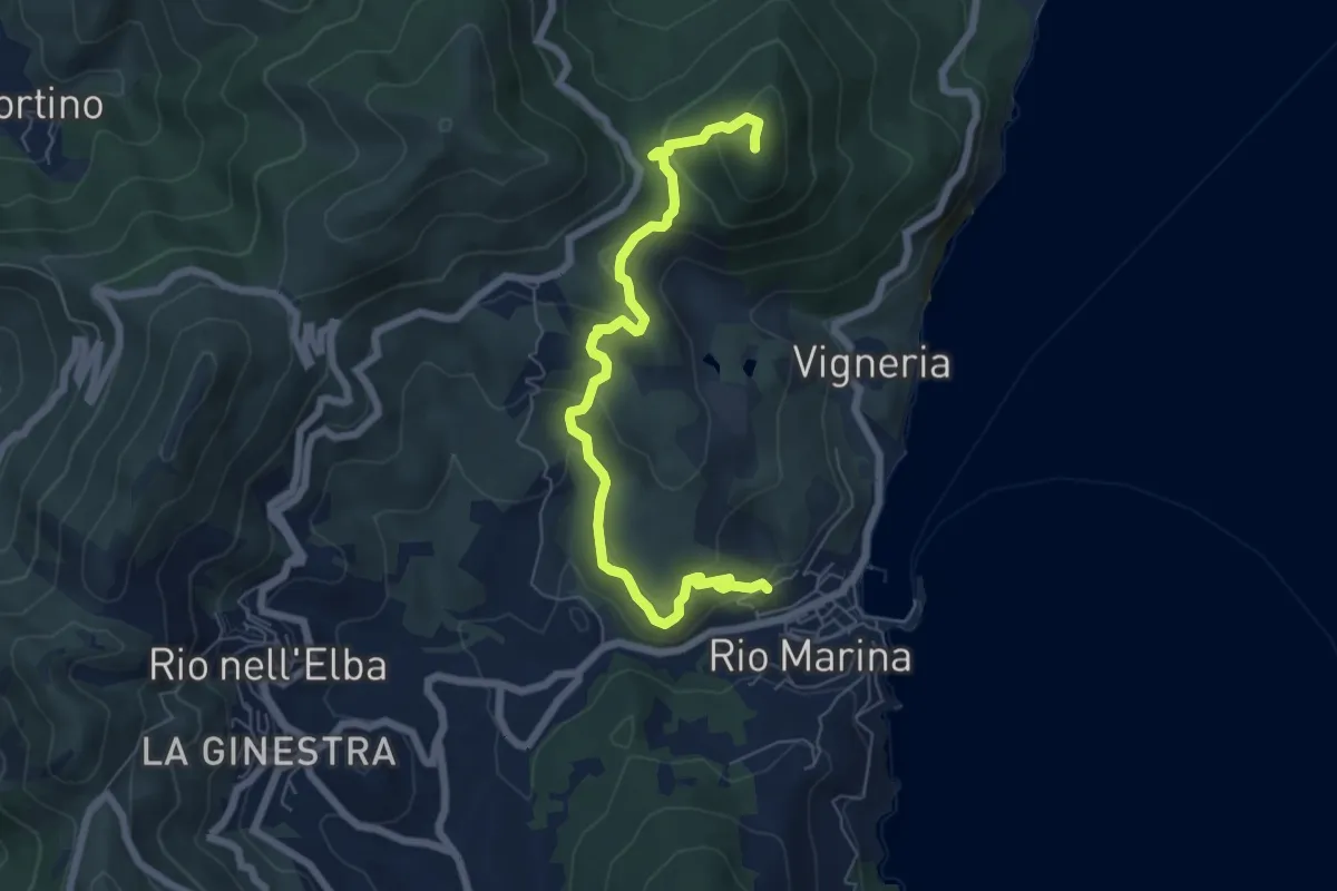
Medium · Trail
Torre del Giove – Percorso 212
7.3 km · ↑ 360 m · 2 h 31 min · 8 km away
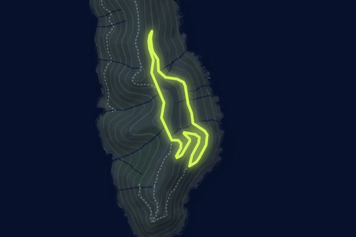
Easy · Summit
Anello del Golfo Stella
2.9 km · ↑ 91 m · 56 min · 8 km away
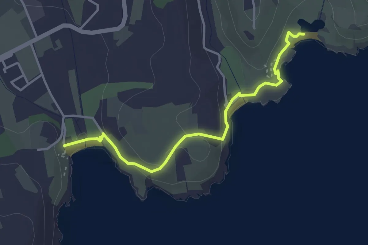
Easy · Trail
Piazza porto Azzurro – laghetto di Terranera
3.5 km · ↑ 95 m · 1 h 2 min · 8 km away
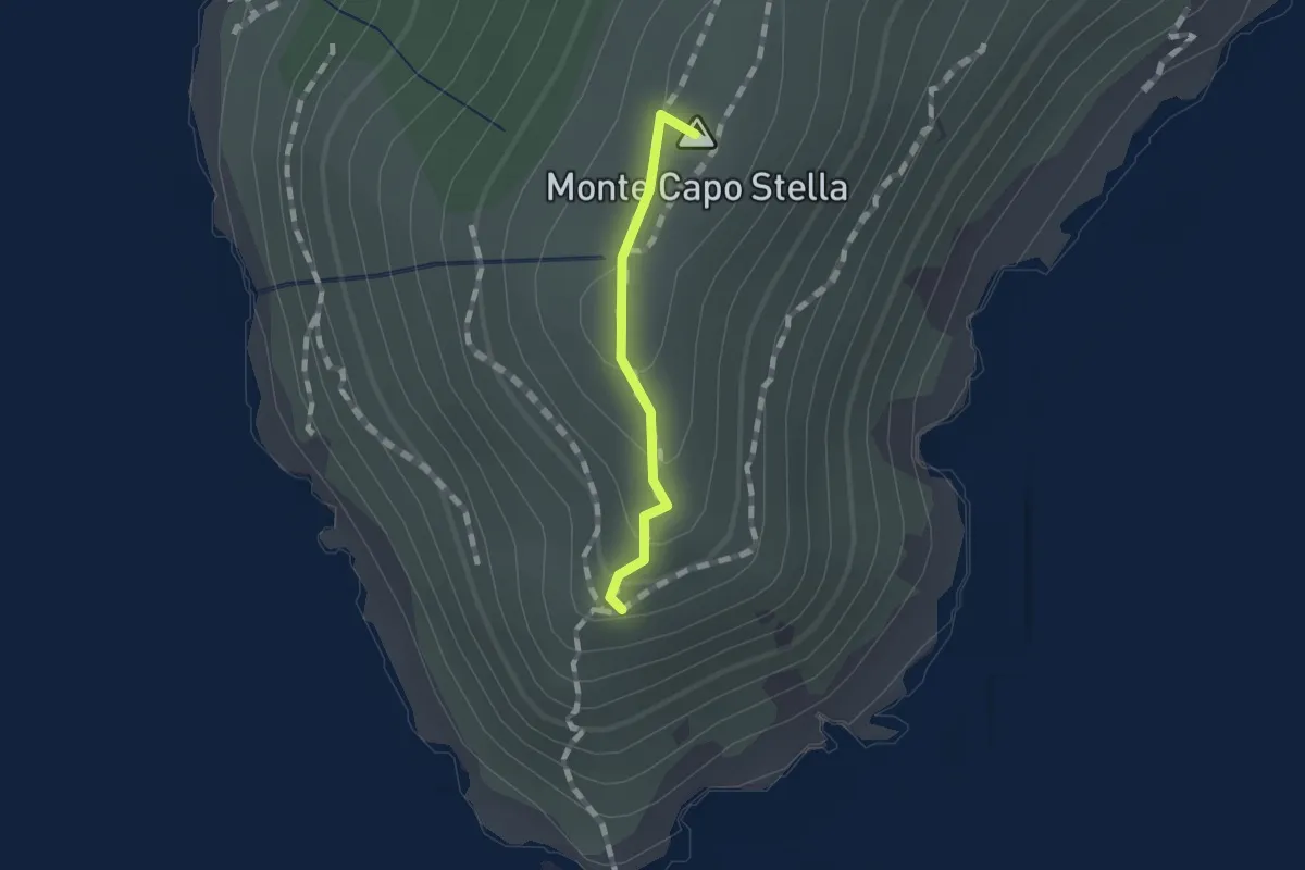
Easy · Summit
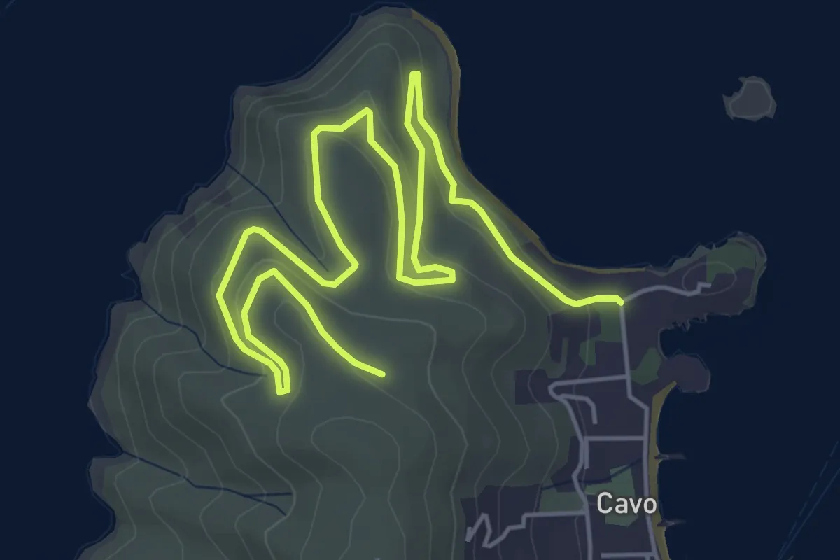
L'oceano
0.9 km · ↑ 58 m · 20 min · 9 km away
Medium · Trail
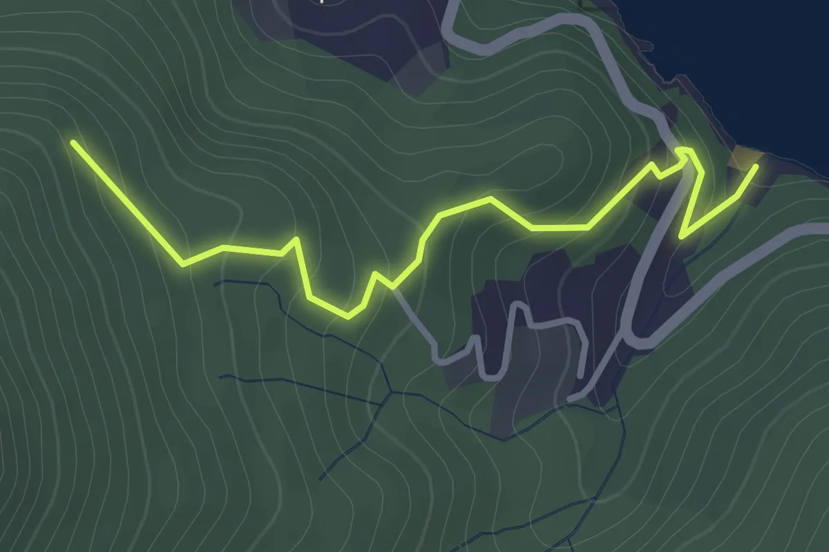
via Frugoso – Mausoleo Tonietti
8.3 km · ↑ 285 m · 2 h 34 min · 9 km away
Easy · Trail
Re di Noce – Cappella di S. Rita
3.2 km · ↑ 196 m · 1 h 10 min · 9 km away
Medium · Trail
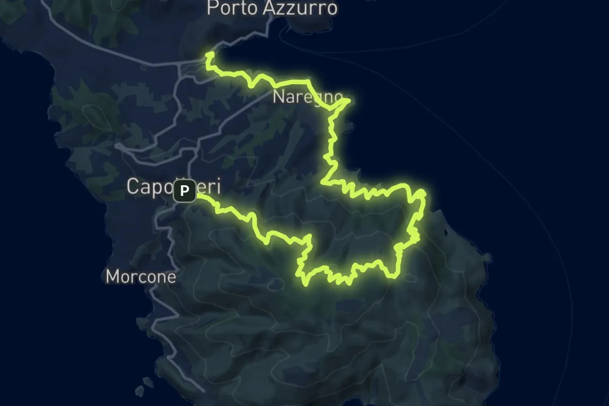
Capoliveri – Mola
15.0 km · ↑ 603 m · 5 h 7 min · 9 km away
Easy · Summit
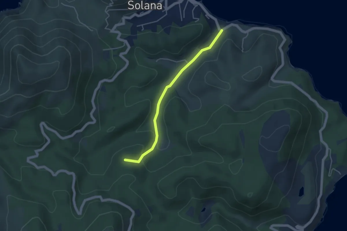
Cavo – Parata
3.9 km · ↑ 143 m · 1 h 13 min · 9 km away
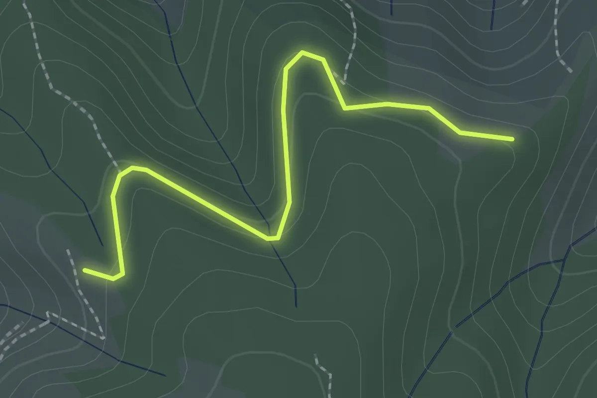
Easy · Trail
231 – 230
2.4 km · ↑ 135 m · 51 min · 10 km away
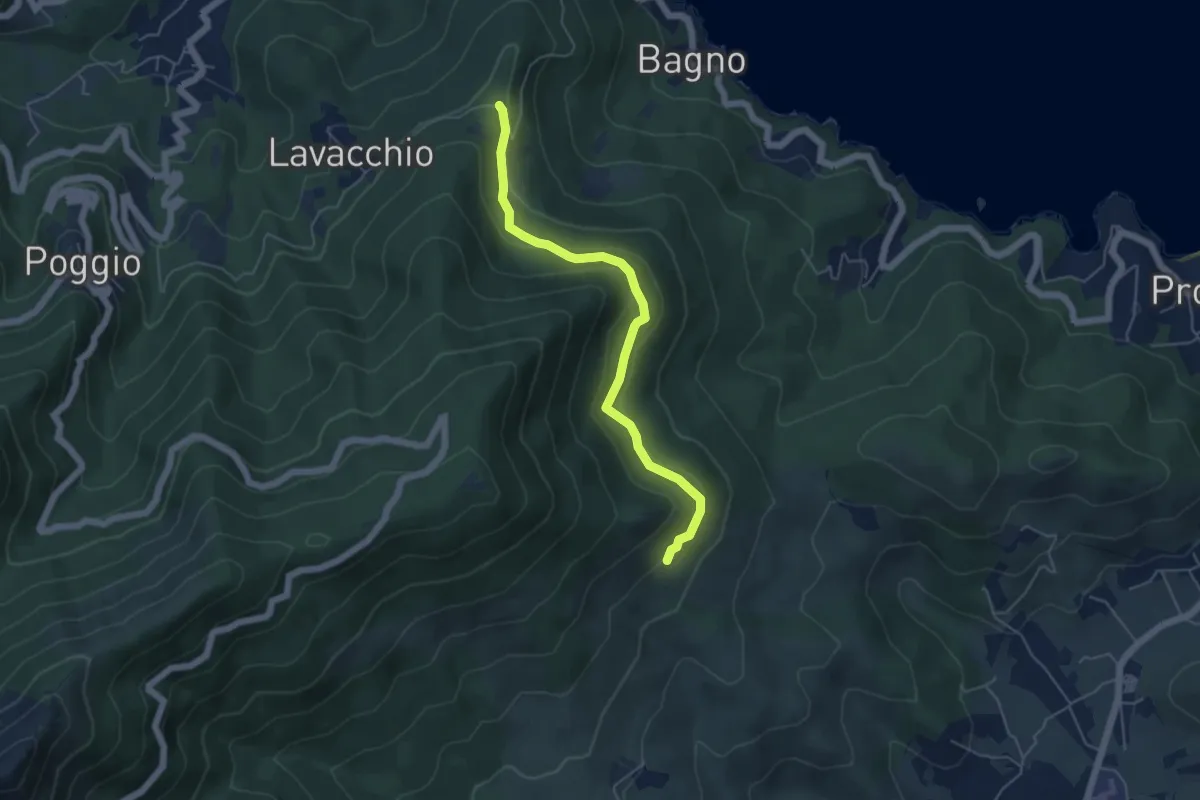
Easy · Trail
Madonna del Buon Consiglio – Poggio S. Prospero
5.3 km · ↑ 260 m · 1 h 49 min · 10 km away
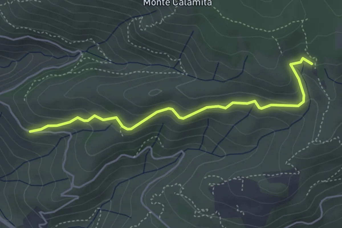
Easy · Trail
strada per miniere Calamita – 231
4.5 km · ↑ 236 m · 1 h 34 min · 11 km away
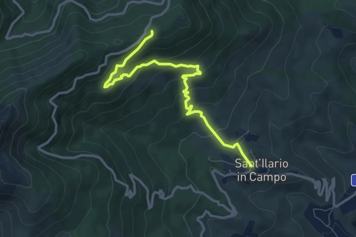
Medium · Trail
S. Ilario – Monte Perone
8.0 km · ↑ 472 m · 2 h 55 min · 11 km away
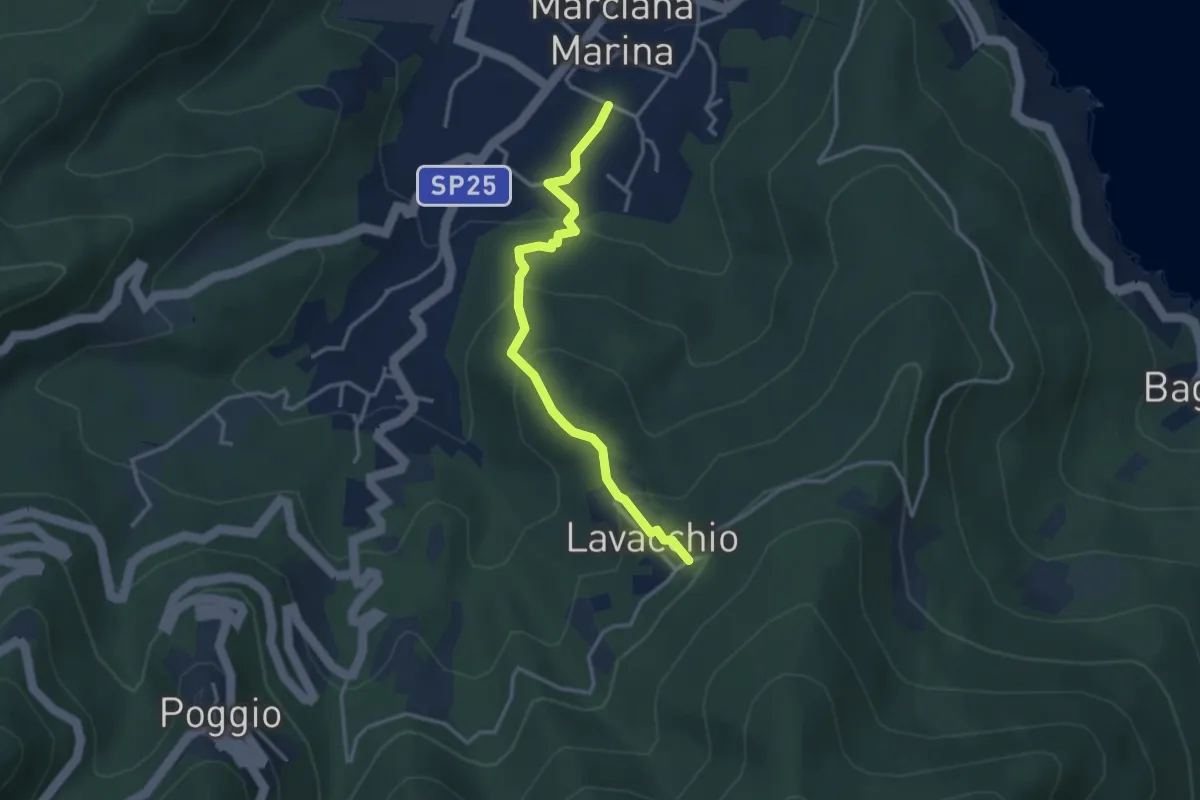
Easy · Trail
Marciana Marina – 180
3.4 km · ↑ 216 m · 1 h 17 min · 11 km away
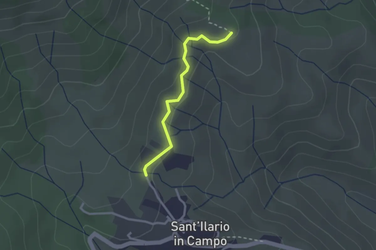
Easy · Trail
S. Ilario – GTE
2.1 km · ↑ 70 m · 39 min · 11 km away
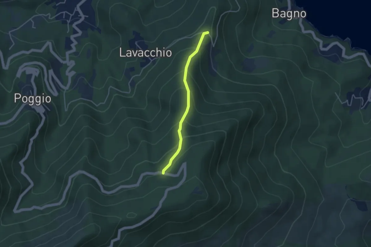
Easy · Trail
Madonna del Buon Consiglio – Monte Perone
3.2 km · ↑ 284 m · 1 h 22 min · 11 km away
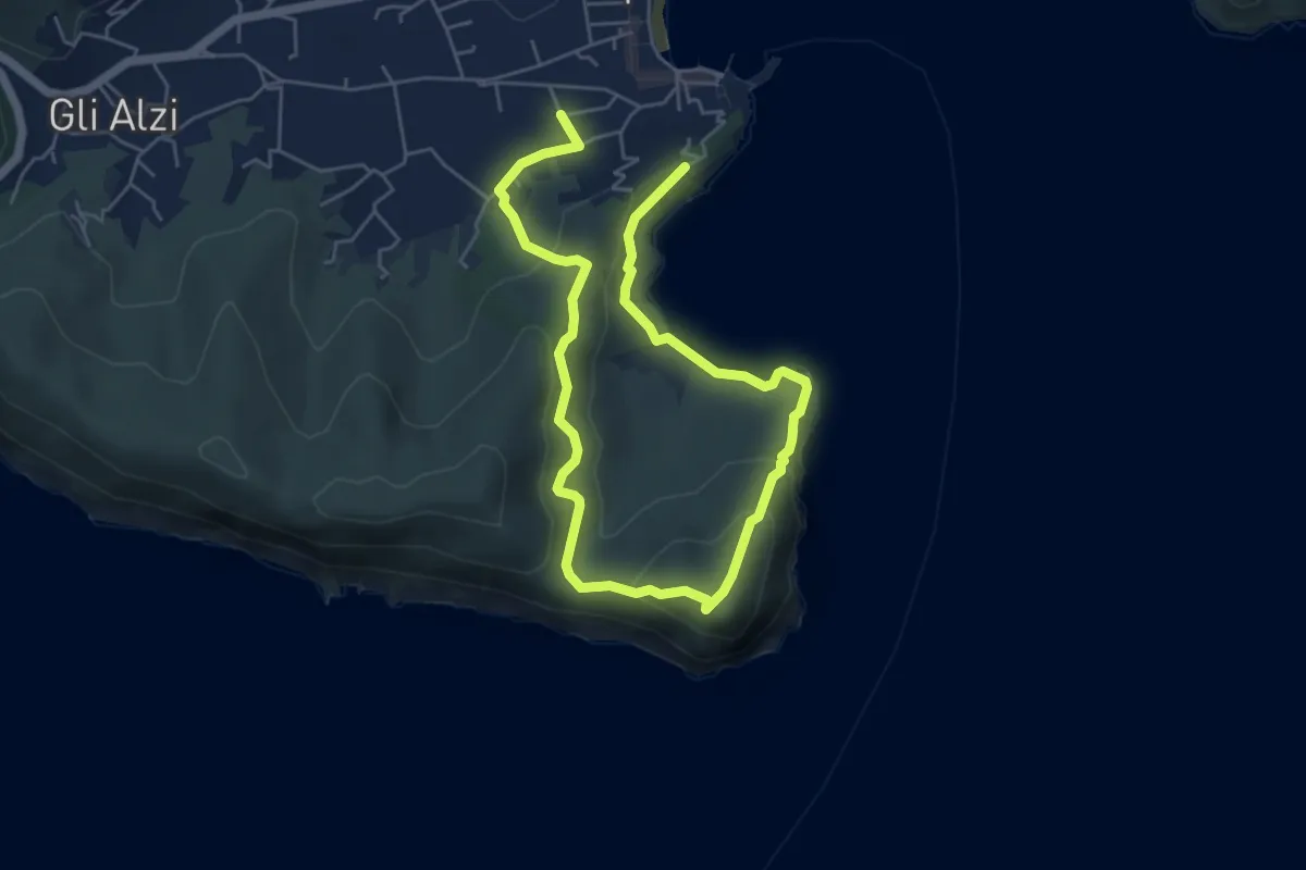
Easy · Trail
Marina di Campo – Marina di Campo
4.4 km · ↑ 214 m · 1 h 33 min · 11 km away
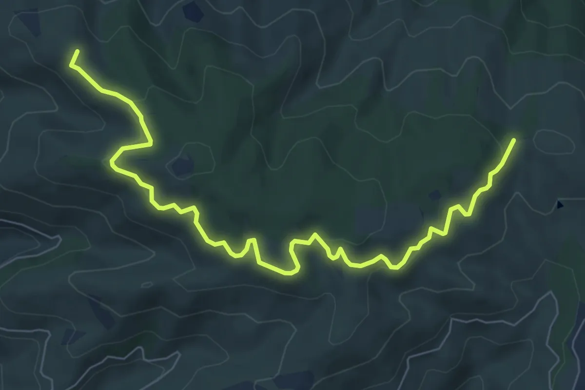
Medium · Summit
230 – 230
8.7 km · ↑ 325 m · 2 h 46 min · 12 km away
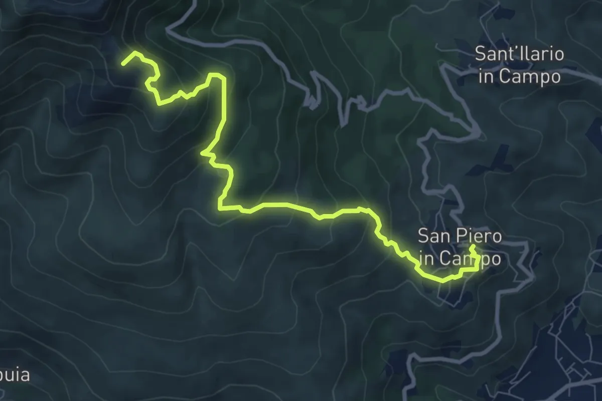
Medium · Summit
San Piero in Campo – Monte Perone
9.4 km · ↑ 655 m · 3 h 38 min · 12 km away
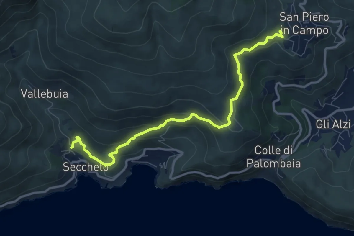
Medium · Trail
Seccheto – San Piero in Campo
8.9 km · ↑ 347 m · 2 h 51 min · 12 km away
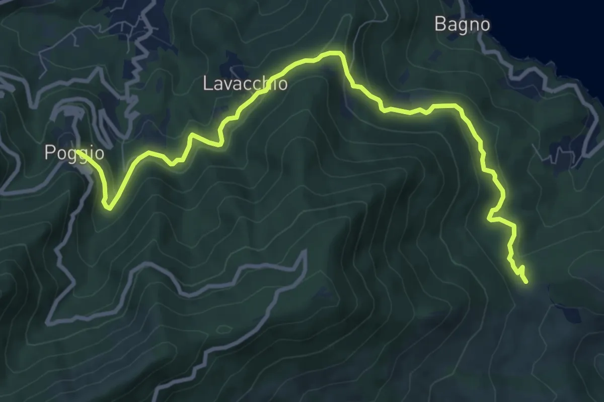
Medium · Trail
Colle Reciso – Poggio
10.8 km · ↑ 353 m · 3 h 19 min · 12 km away