Trails near Pratola Peligna
89 hikes starting within 15 km, nearest first.
Nearest first, page 1 of 2
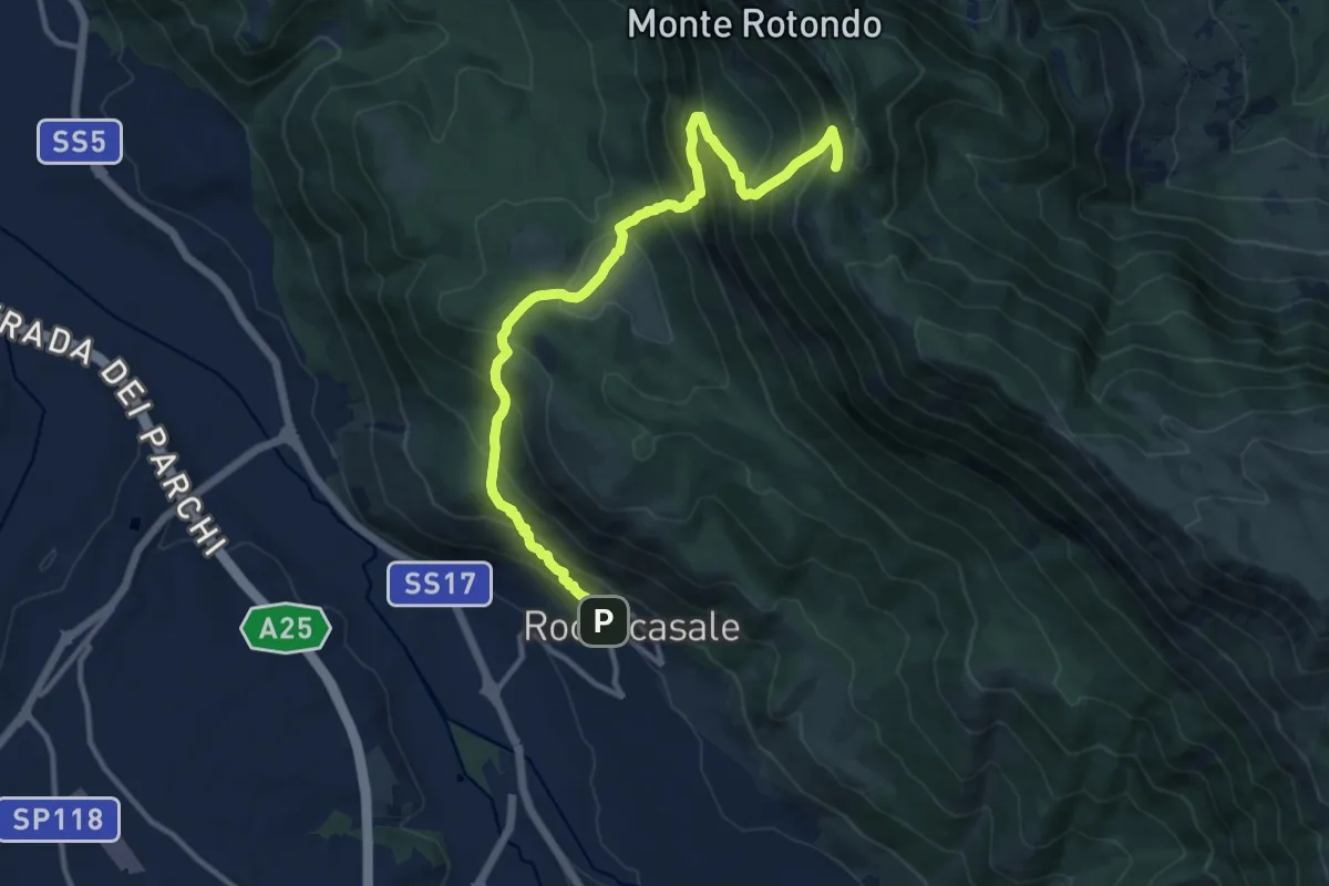
Demanding · Trail
Roccacasale – Colle dei Sambuchi
14.0 km · ↑ 1267 m · 6 h 3 min · 3 km away
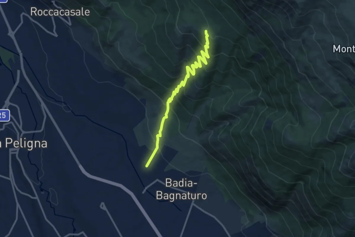
Medium · Summit
Le Casette – Colle delle Vacche
10.4 km · ↑ 741 m · 4 h 3 min · 3 km away
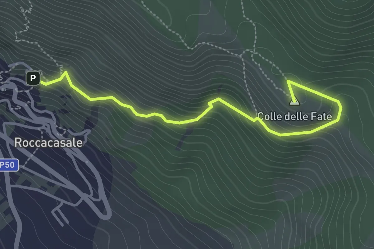
Easy · Summit
Roccacasale – Rif. Il Puzzacchio
3.5 km · ↑ 247 m · 1 h 21 min · 3 km away
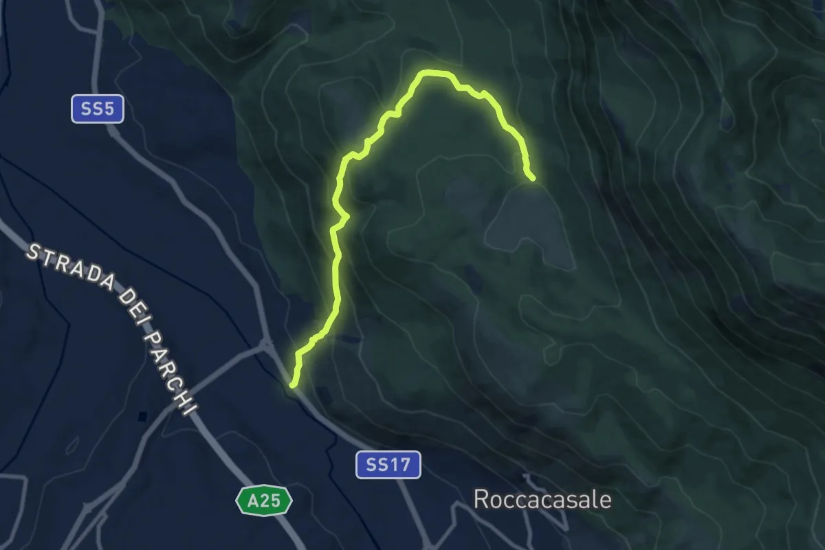
Medium · Trail
Strada Statale 17 – Fonte Beato Mariano
10.2 km · ↑ 618 m · 3 h 45 min · 4 km away
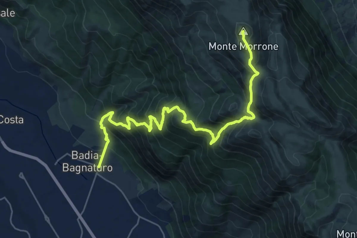
Demanding · Summit
Badia di Sulmona – Caramanico Terme
22.0 km · ↑ 1796 m · 9 h 5 min · 4 km away
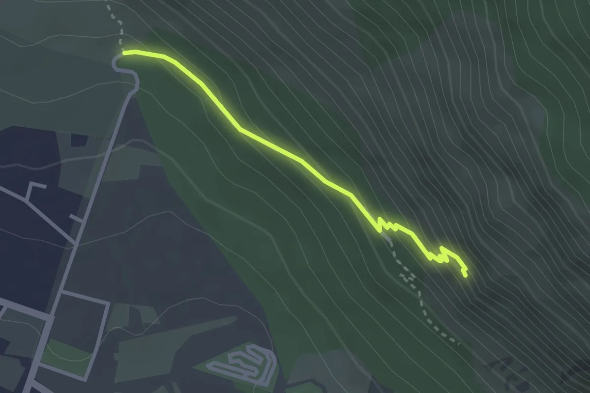
Medium · Trail
Sentiero S – Eremo S. Onofrio
2.7 km · ↑ 200 m · 1 h 4 min · 4 km away
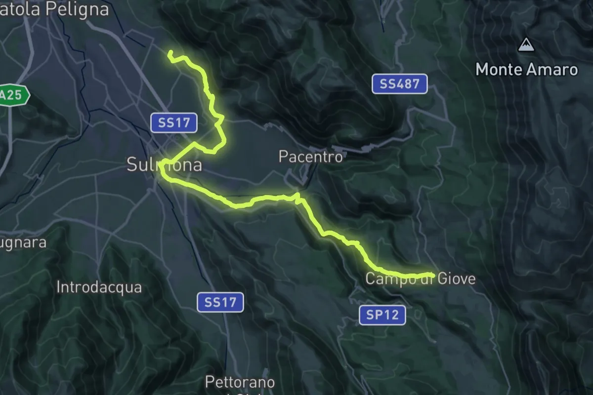
Demanding · Trail
Cammino del Sentiero della Libertà
20.4 km · ↑ 841 m · 6 h 34 min · 5 km away
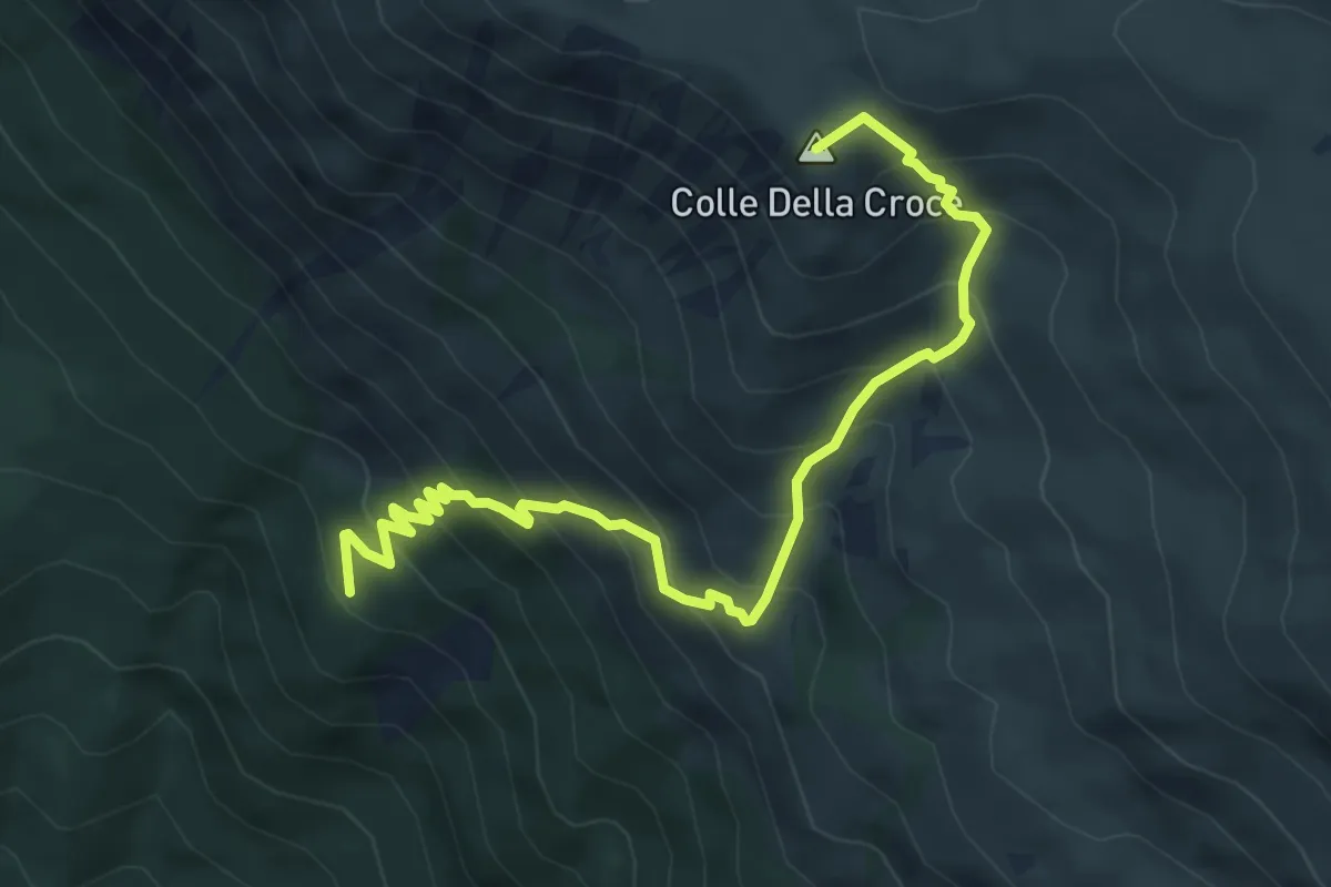
Medium · Summit
Sentiero R4 – Colle della Croce
6.5 km · ↑ 724 m · 3 h 7 min · 6 km away
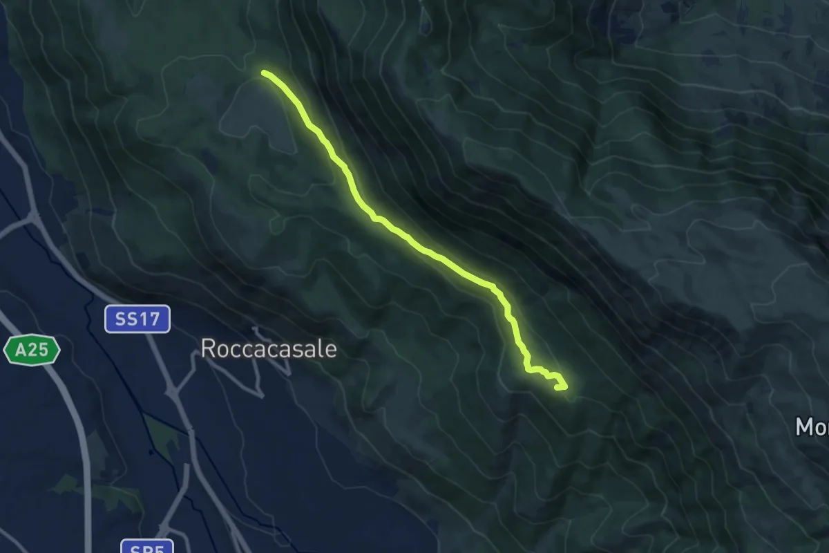
Medium · Summit
Fonte Beato Mariano – Sentiero R6
10.0 km · ↑ 391 m · 3 h 13 min · 6 km away
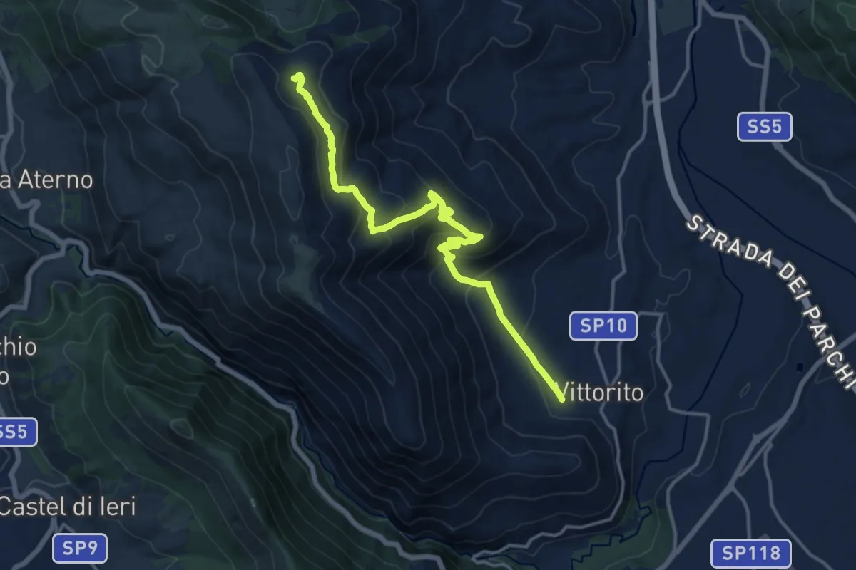
Medium · Trail
Vittorito – Sent. n. 571
14.9 km · ↑ 716 m · 5 h 4 min · 6 km away
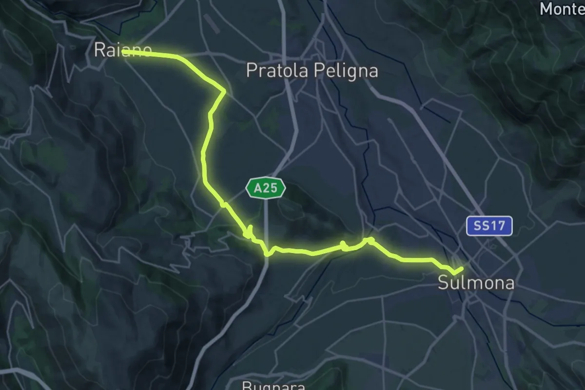
Medium · Trail
Con le Ali ai Piedi - 11
15.0 km · ↑ 222 m · 4 h 14 min · 7 km away
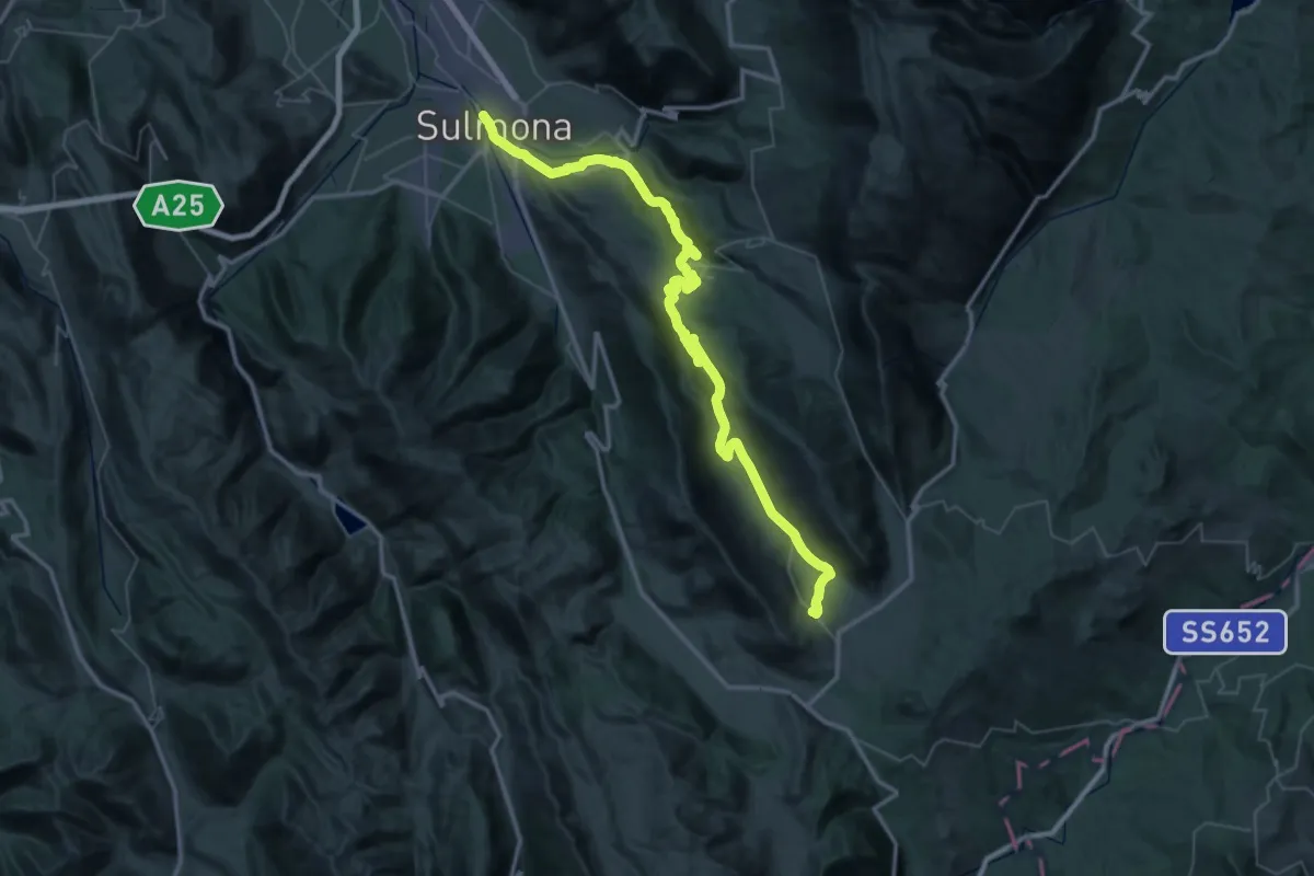
Demanding · Trail
Con le Ali ai piedi - 12
32.4 km · ↑ 1179 m · 10 h 10 min · 7 km away
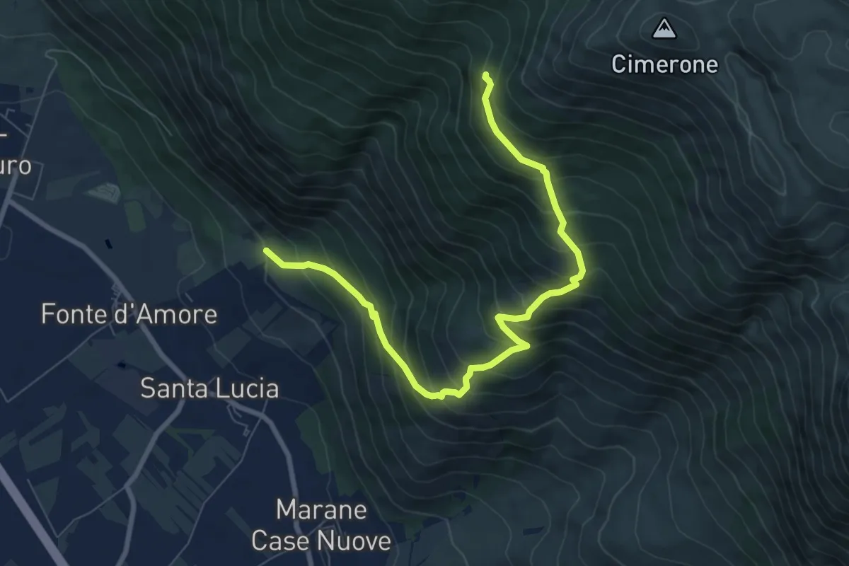
Demanding · Trail
Sentiero R6 – Sentiero Spirito
9.0 km · ↑ 916 m · 4 h 6 min · 7 km away
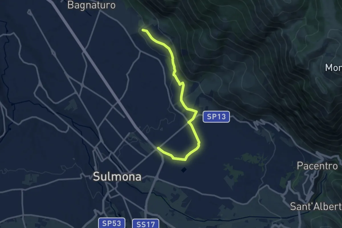
Medium · Trail
Vasche di Fonte D'Amore – Via Cappuccini di Sulmona
10.8 km · ↑ 172 m · 2 h 56 min · 7 km away
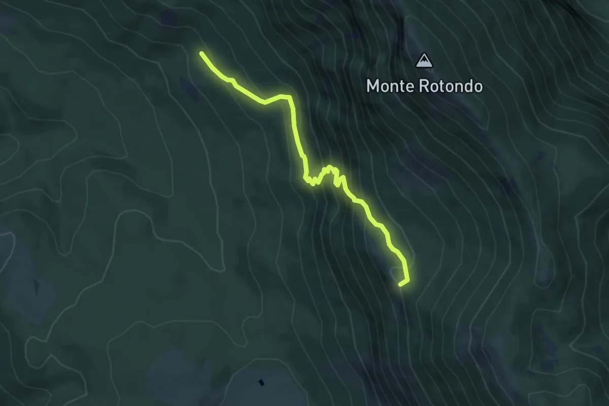
Medium · Trail
Tre Cese – La Fossa
5.3 km · ↑ 449 m · 2 h 13 min · 8 km away
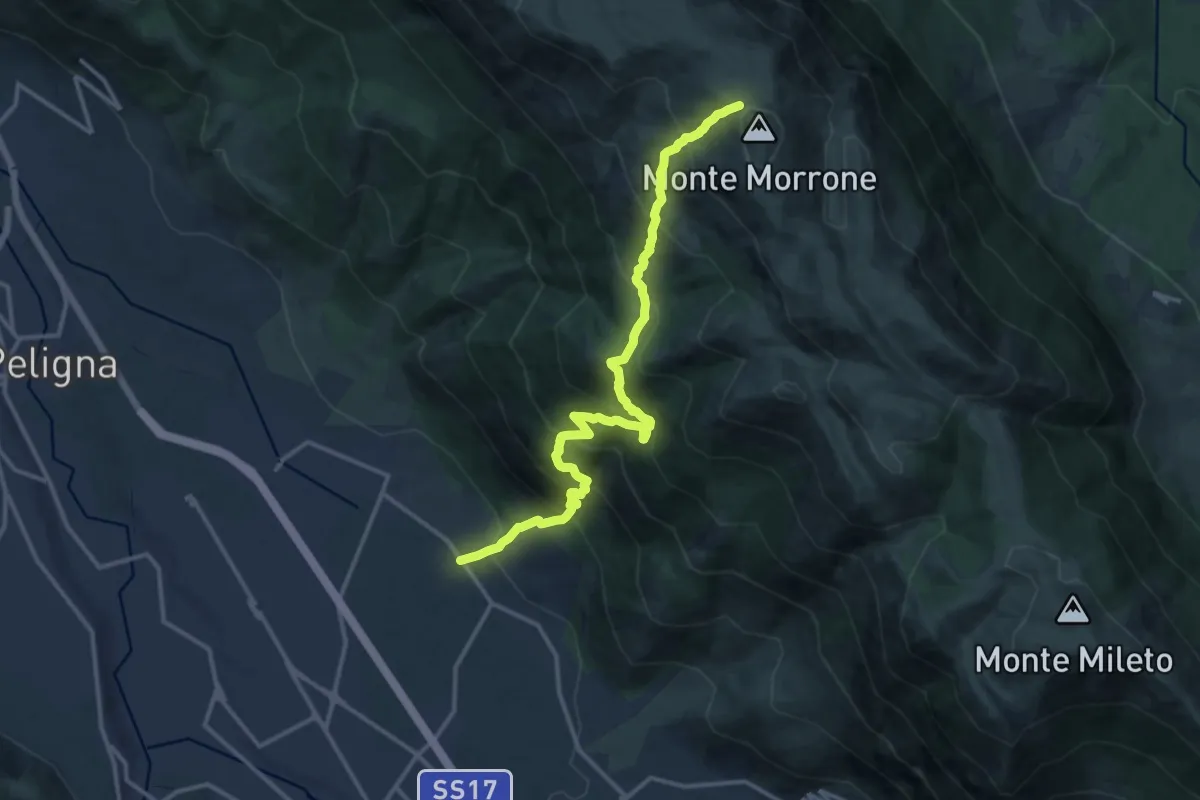
Demanding · Trail
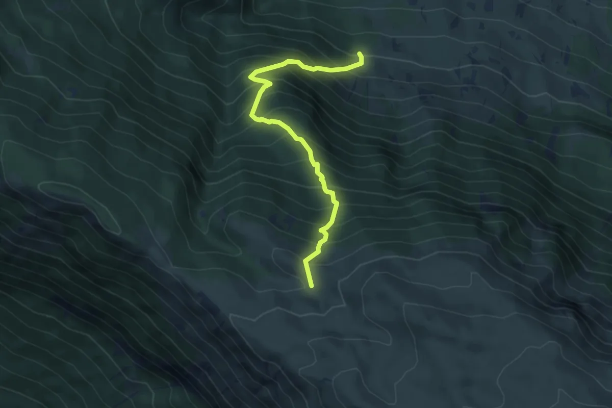
Fonte D'Amore – Monte Morrone
16.1 km · ↑ 1708 m · 7 h 31 min · 8 km away
Medium · Trail
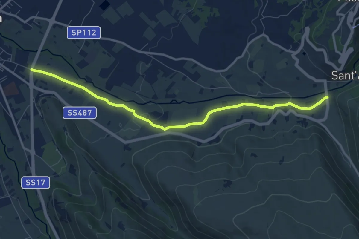
Barbusciana di Salle – Rifugio Jaccio Grande
5.7 km · ↑ 714 m · 2 h 53 min · 8 km away
Medium · Trail
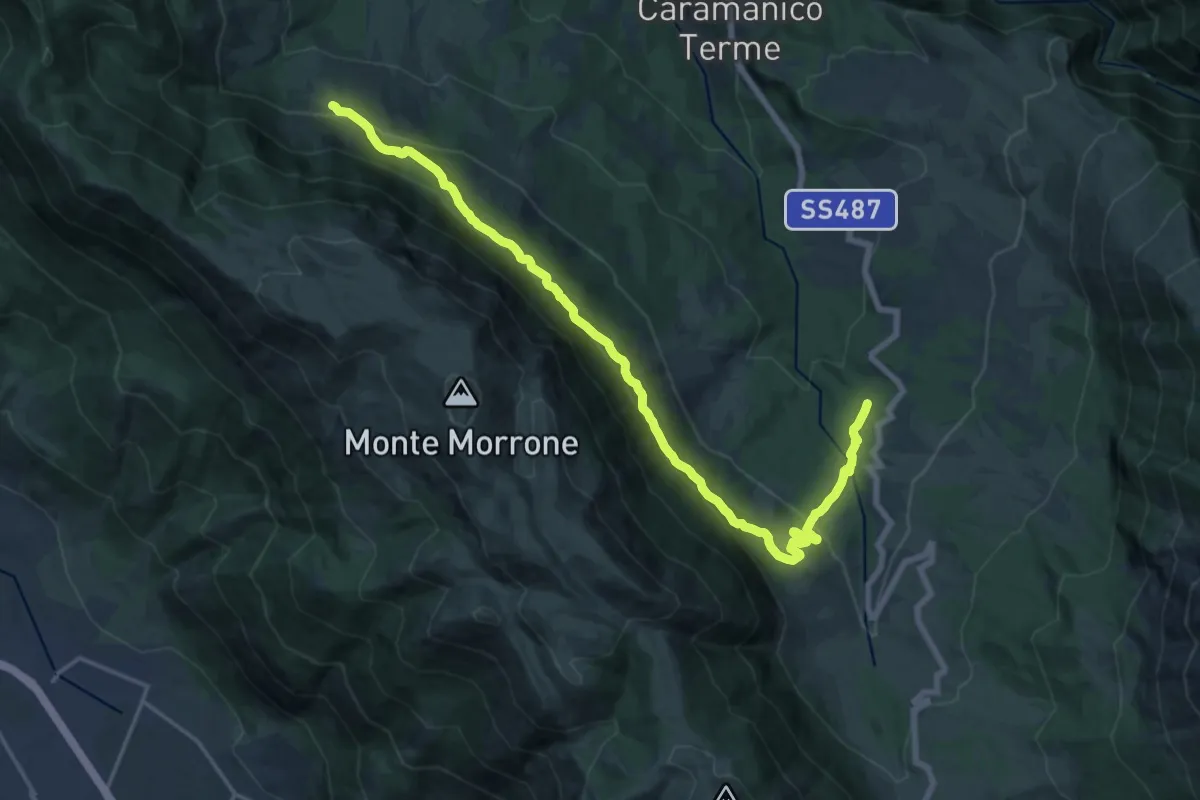
S.S. 17 (Incr. Via De Gasperi) – S.S. 487
9.0 km · ↑ 91 m · 2 h 19 min · 8 km away
Demanding · Trail
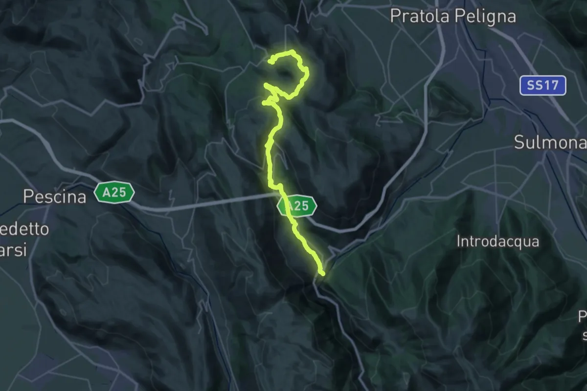
San Giacomo – Barbusciana di Salle
21.9 km · ↑ 973 m · 7 h 16 min · 8 km away
Medium · Trail
Il Cammino d'Abruzzo: Tappa 25
18.0 km · ↑ 535 m · 5 h 43 min · 8 km away
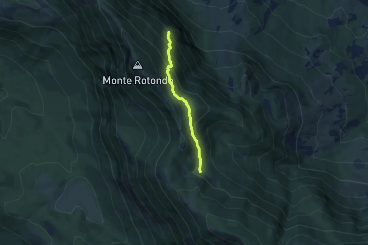
Medium · Trail
Sentiero A8 – Fonte Fredda
5.4 km · ↑ 405 m · 2 h 10 min · 8 km away
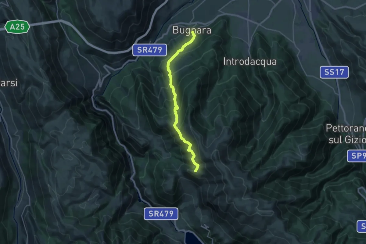
Demanding · Trail
Sentiero delle Sorgenti
18.4 km · ↑ 1238 m · 7 h 1 min · 9 km away
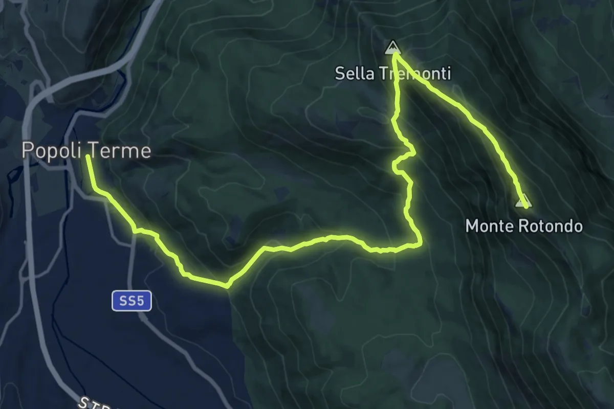
Demanding · Summit
Rifugio Jaccio Grande – Popoli
21.8 km · ↑ 1437 m · 8 h 15 min · 9 km away
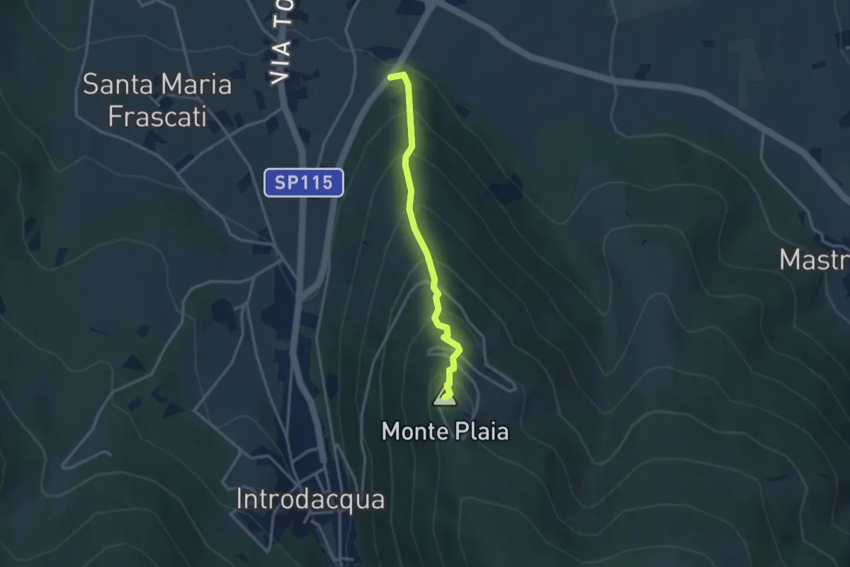
Easy · Summit
S.P. 14 di Introdacqua – Monte Plaia
2.9 km · ↑ 304 m · 1 h 21 min · 9 km away
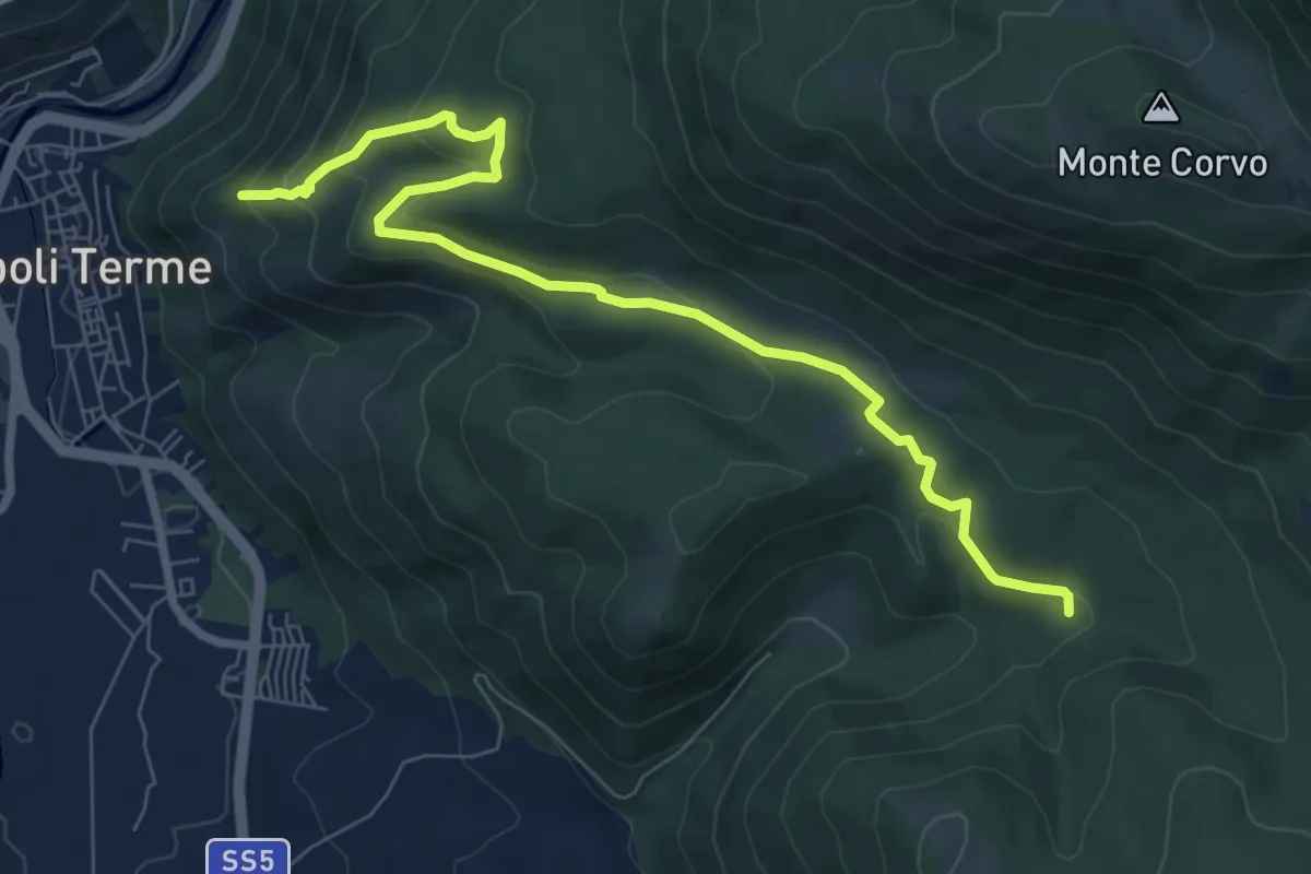
Medium · Trail
Castello di Popoli – Sentiero del Parco
8.9 km · ↑ 412 m · 2 h 59 min · 9 km away
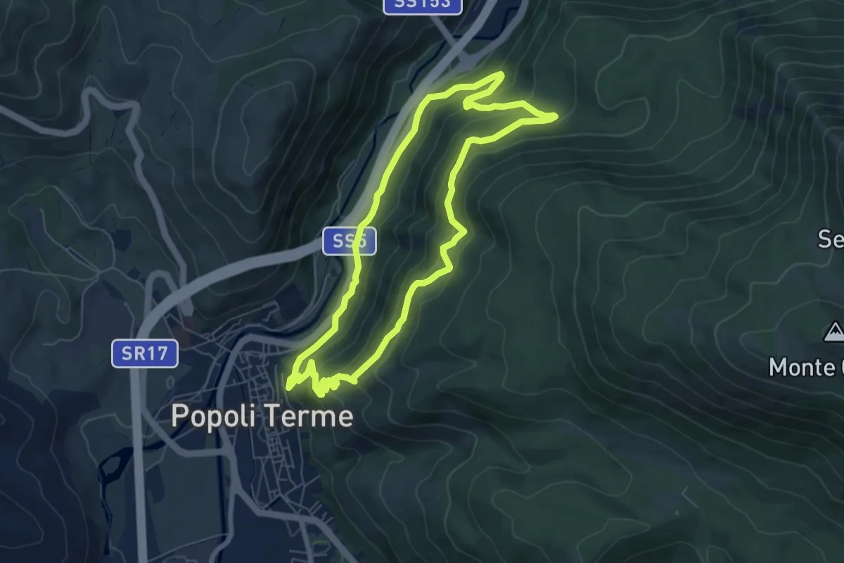
Medium · Trail
Anello del Castello Cantelmo di Popoli
6.8 km · ↑ 353 m · 2 h 28 min · 9 km away
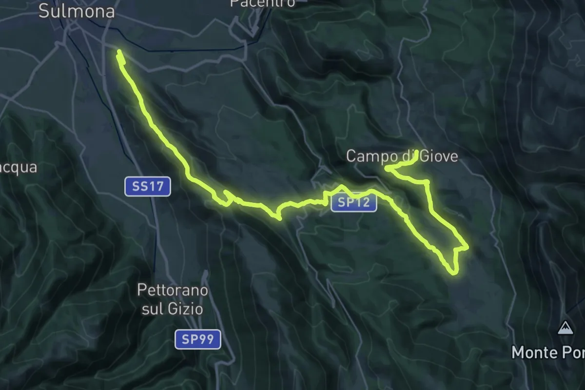
Demanding · Trail
Sulmona – Campo di Giove
21.5 km · ↑ 966 m · 7 h 10 min · 9 km away
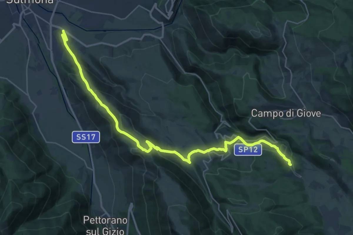
Demanding · Trail
Cimitero di Sulmona – Fonte Ramarozzo
13.6 km · ↑ 817 m · 4 h 54 min · 9 km away
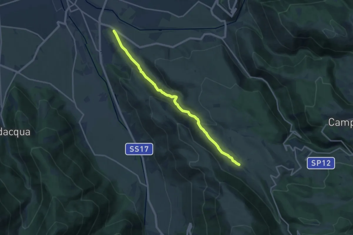
Medium · Trail
Cimitero di Sulmona – Fonte Sulmontina
12.7 km · ↑ 622 m · 4 h 21 min · 9 km away
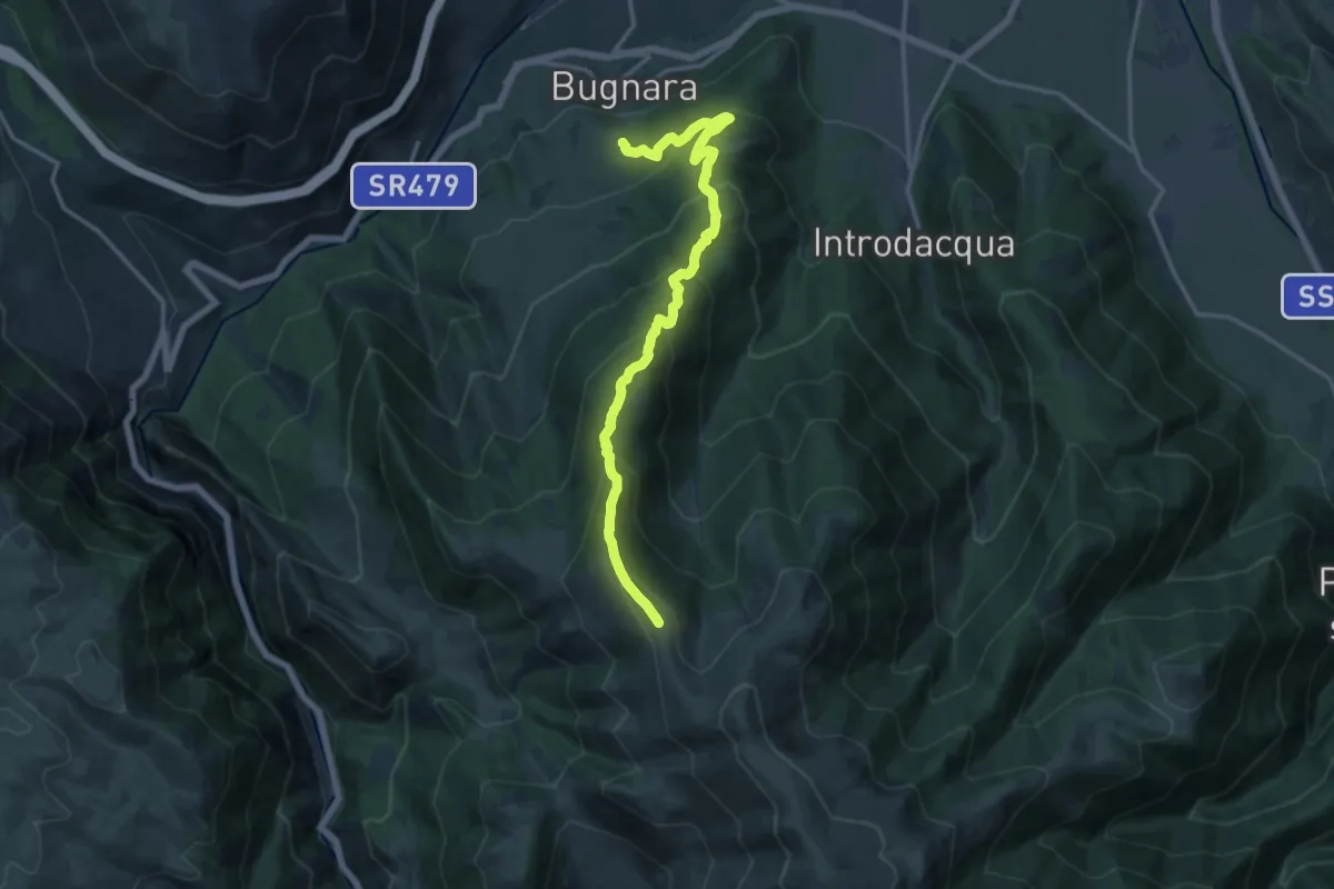
Demanding · Summit
Sentiero 371 – La Forchetta
16.7 km · ↑ 1183 m · 6 h 30 min · 9 km away
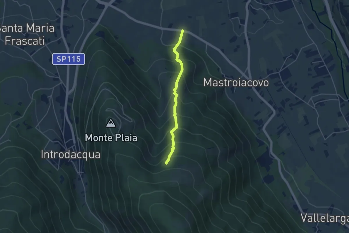
Medium · Trail
S.P. 117 di Mastroiacovo – Monte Plaia
3.9 km · ↑ 383 m · 1 h 44 min · 9 km away
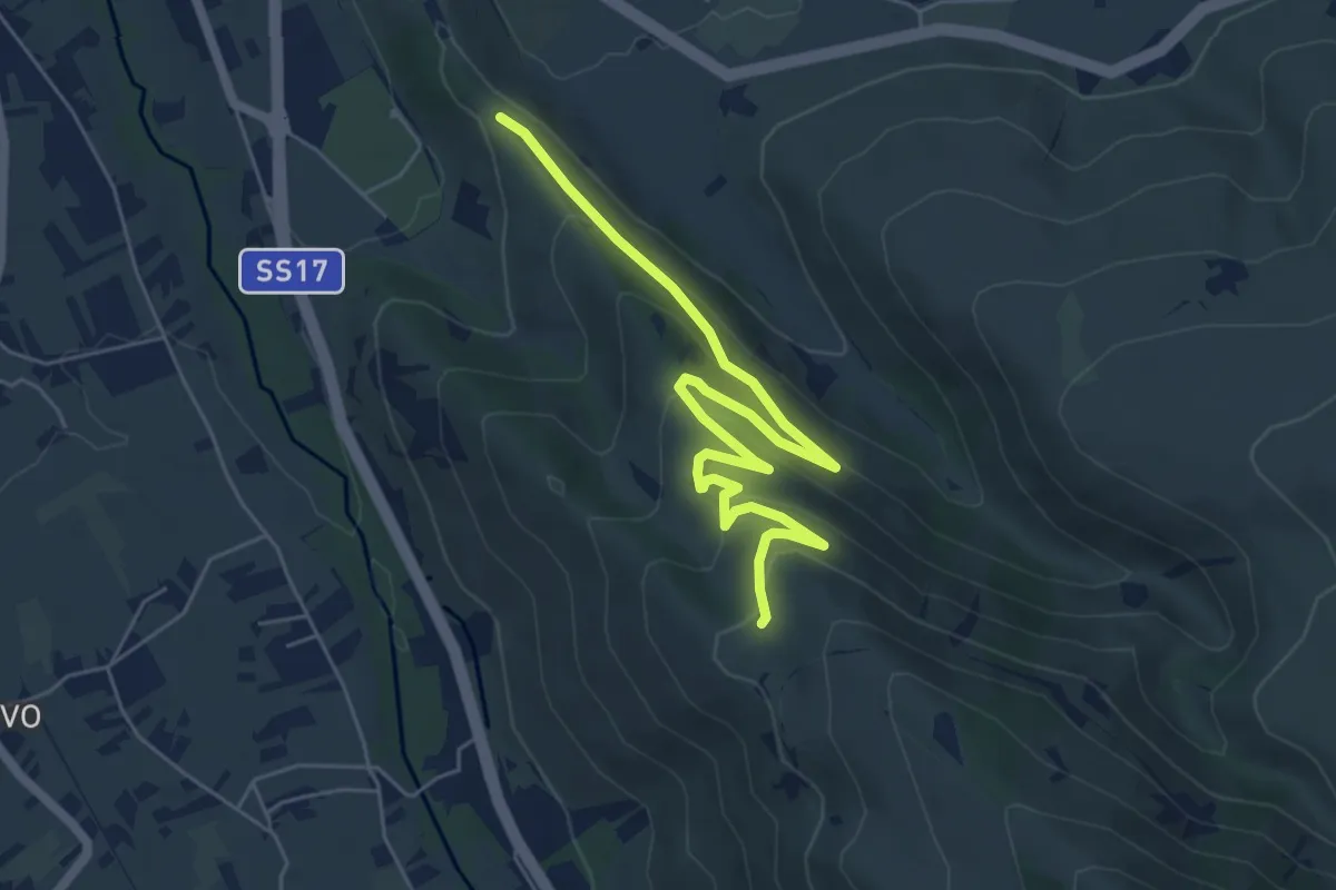
Easy · Trail
Colle Savente – Sent. L
7.2 km · ↑ 280 m · 2 h 18 min · 9 km away
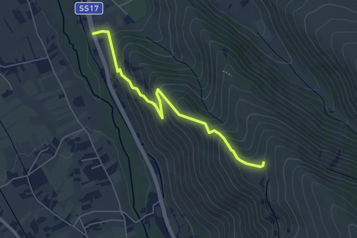
Medium · Trail
Pietre Rege – Casello Ferroviario
4.8 km · ↑ 332 m · 1 h 51 min · 9 km away
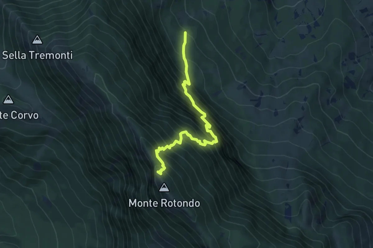
Demanding · Trail
Sent. A5 – Monte Rotondo
7.1 km · ↑ 986 m · 3 h 48 min · 10 km away
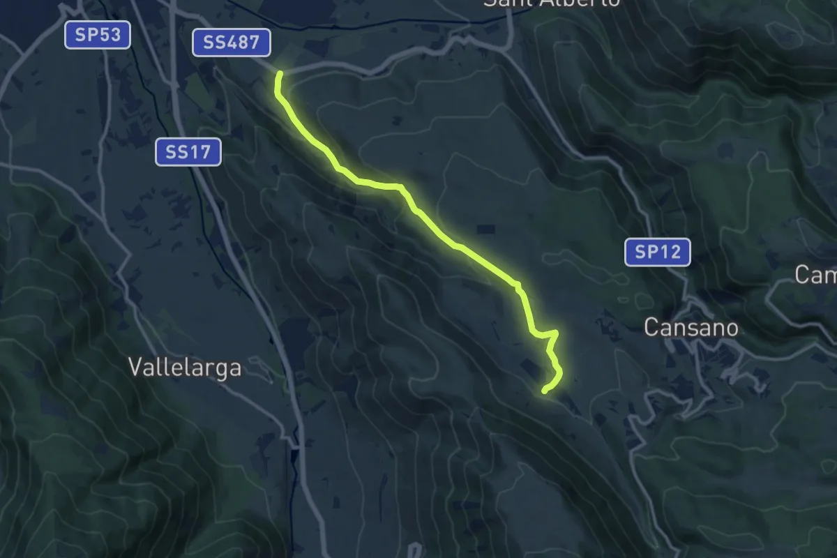
Medium · Trail
S.R. 487 – Fonte Sulmontina
11.7 km · ↑ 460 m · 3 h 45 min · 10 km away
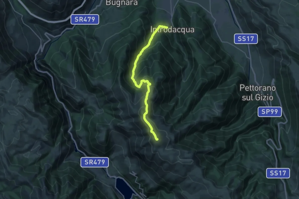
Demanding · Summit
Introdacqua – Monte Genzana
19.6 km · ↑ 1512 m · 7 h 54 min · 10 km away
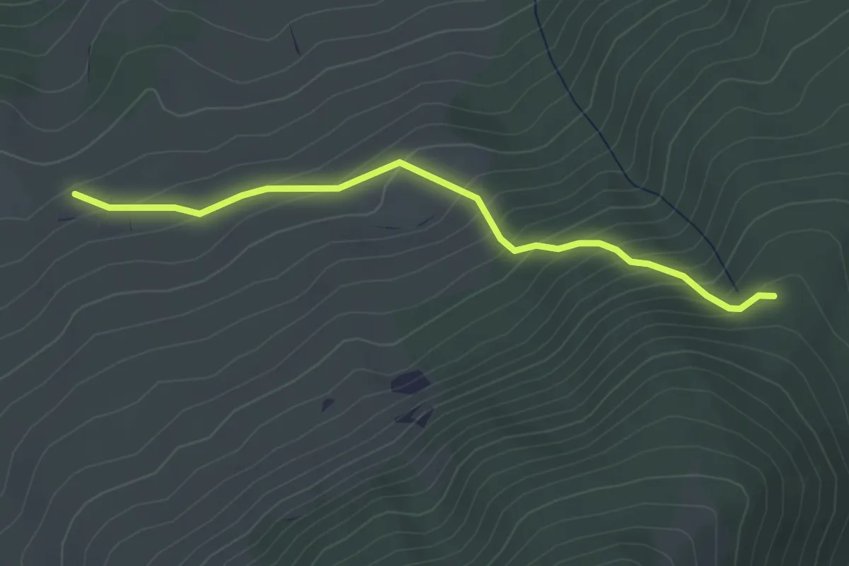
Easy · Trail
Fonte dell'Oppio – Sent. n. 370
3.9 km · ↑ 311 m · 1 h 36 min · 10 km away
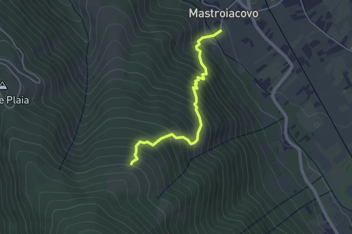
Medium · Trail
Mastroiacovo – Monte Plaia
3.6 km · ↑ 405 m · 1 h 44 min · 10 km away
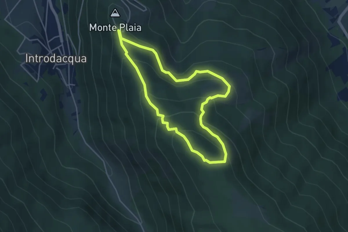
Easy · Trail
Monte Plaia – Monte Plaia
3.9 km · ↑ 251 m · 1 h 31 min · 10 km away
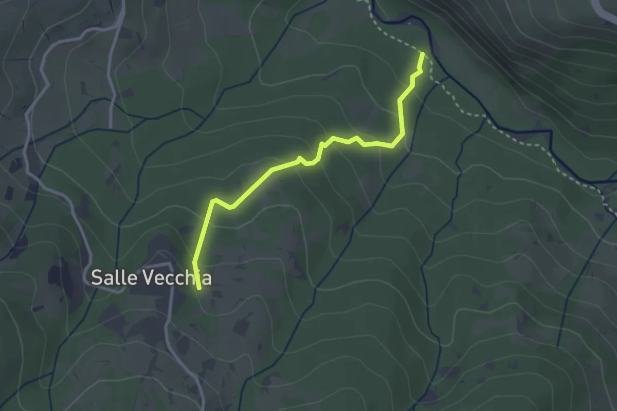
Easy · Trail
Castello di Salle – Fiume Orta
2.8 km · ↑ 169 m · 1 h 2 min · 10 km away
Easy · Trail
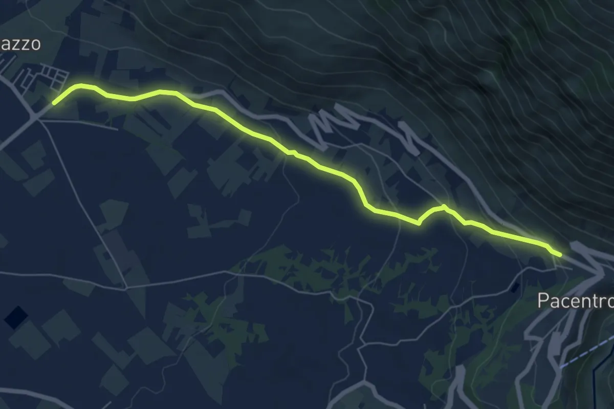
Bivio Marane – Pacentro
7.2 km · ↑ 250 m · 2 h 15 min · 11 km away
Easy · Summit
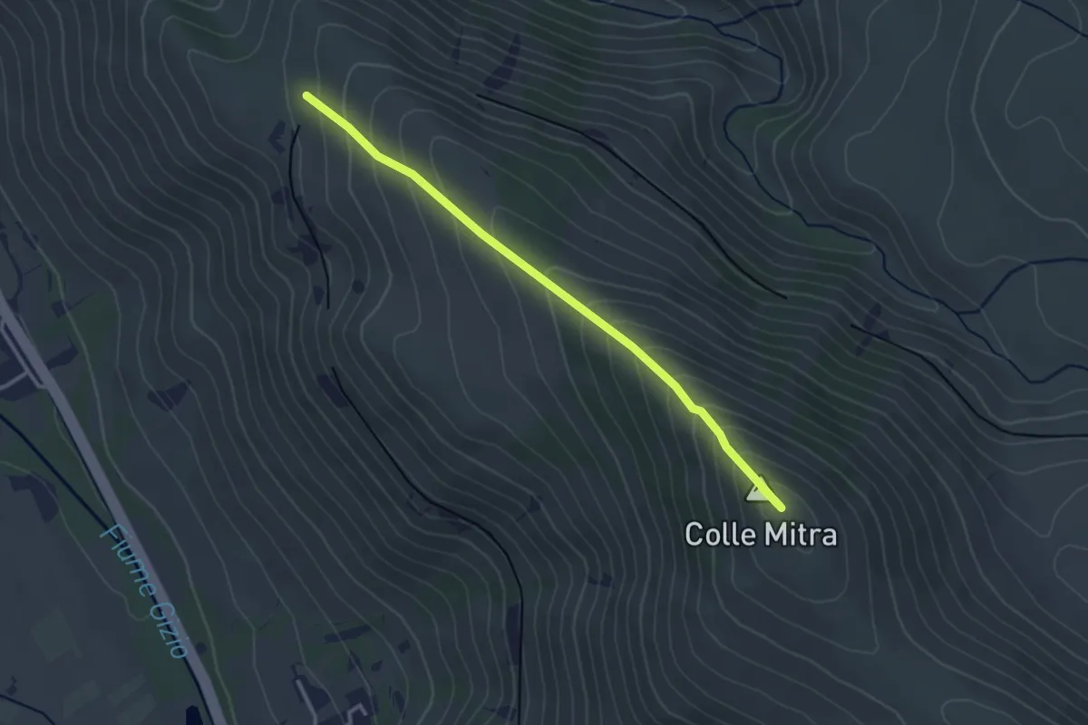
Sent. L – Fonte Pacile
3.4 km · ↑ 289 m · 1 h 25 min · 11 km away
Medium · Trail
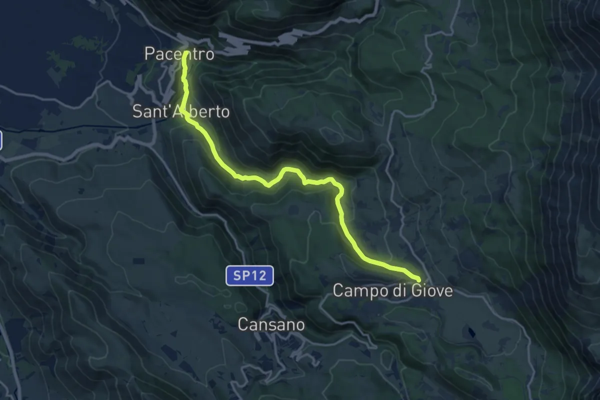
Pacentro – Campo di Giove
15.7 km · ↑ 739 m · 5 h 18 min · 11 km away
Medium · Pilgrim path
Cammino della Pace - Tappa 8
10.2 km · ↑ 362 m · 3 h 15 min · 11 km away
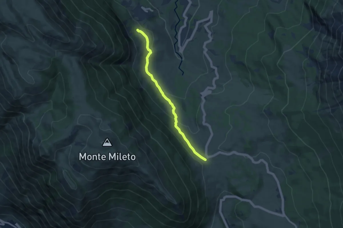
Medium · Trail
Passo San Leonardo – Roccacaramanico
7.3 km · ↑ 218 m · 2 h 12 min · 11 km away
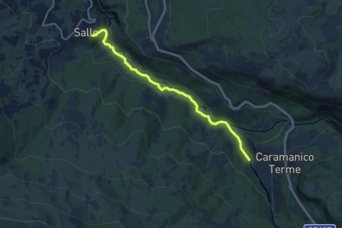
Medium · Trail
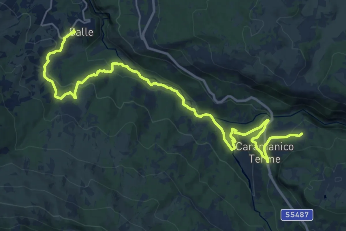
Salle – Caramanico Terme
8.2 km · ↑ 190 m · 2 h 21 min · 11 km away
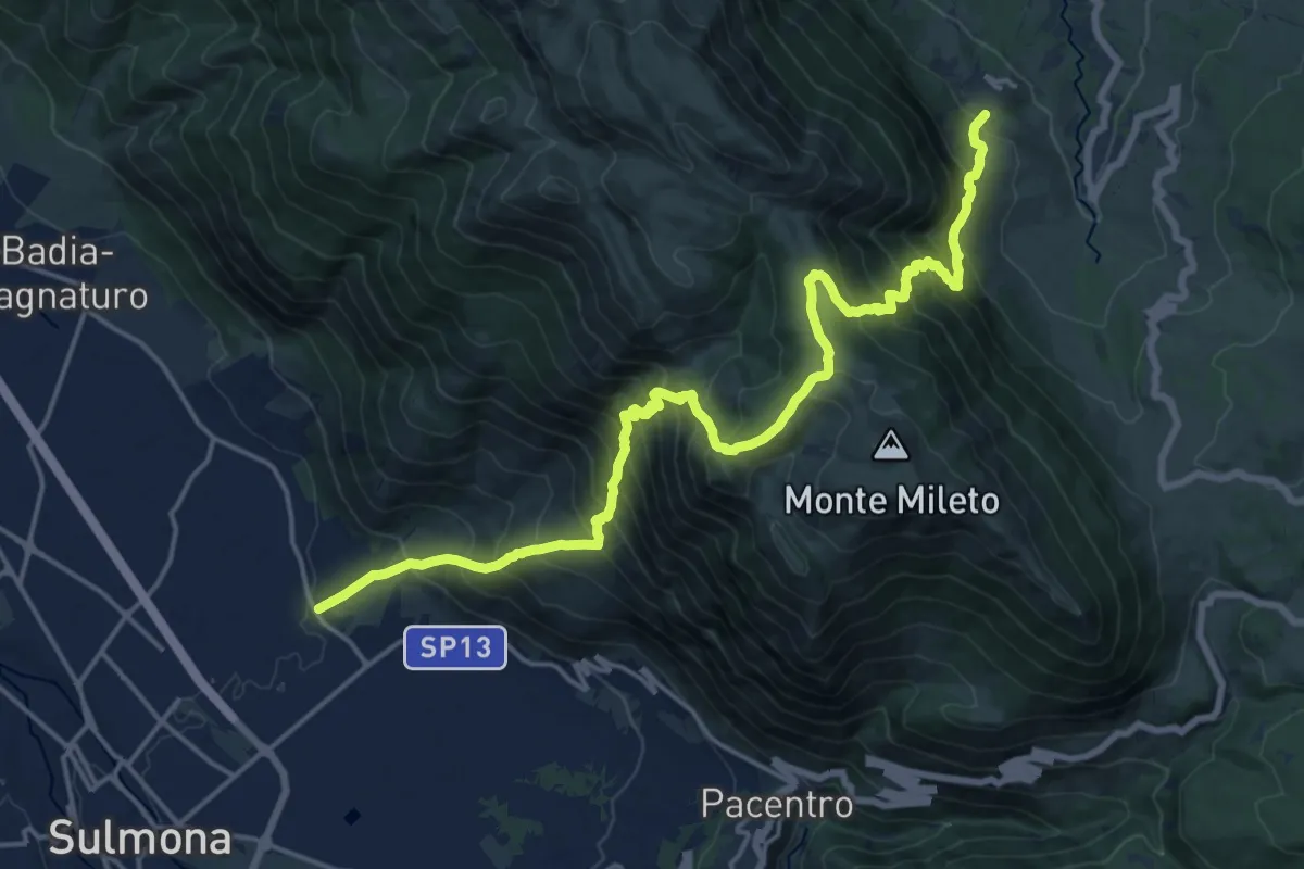
Medium · Trail
Marane di Sulmona – Roccacaramanico
10.9 km · ↑ 742 m · 4 h 41 min · 11 km away
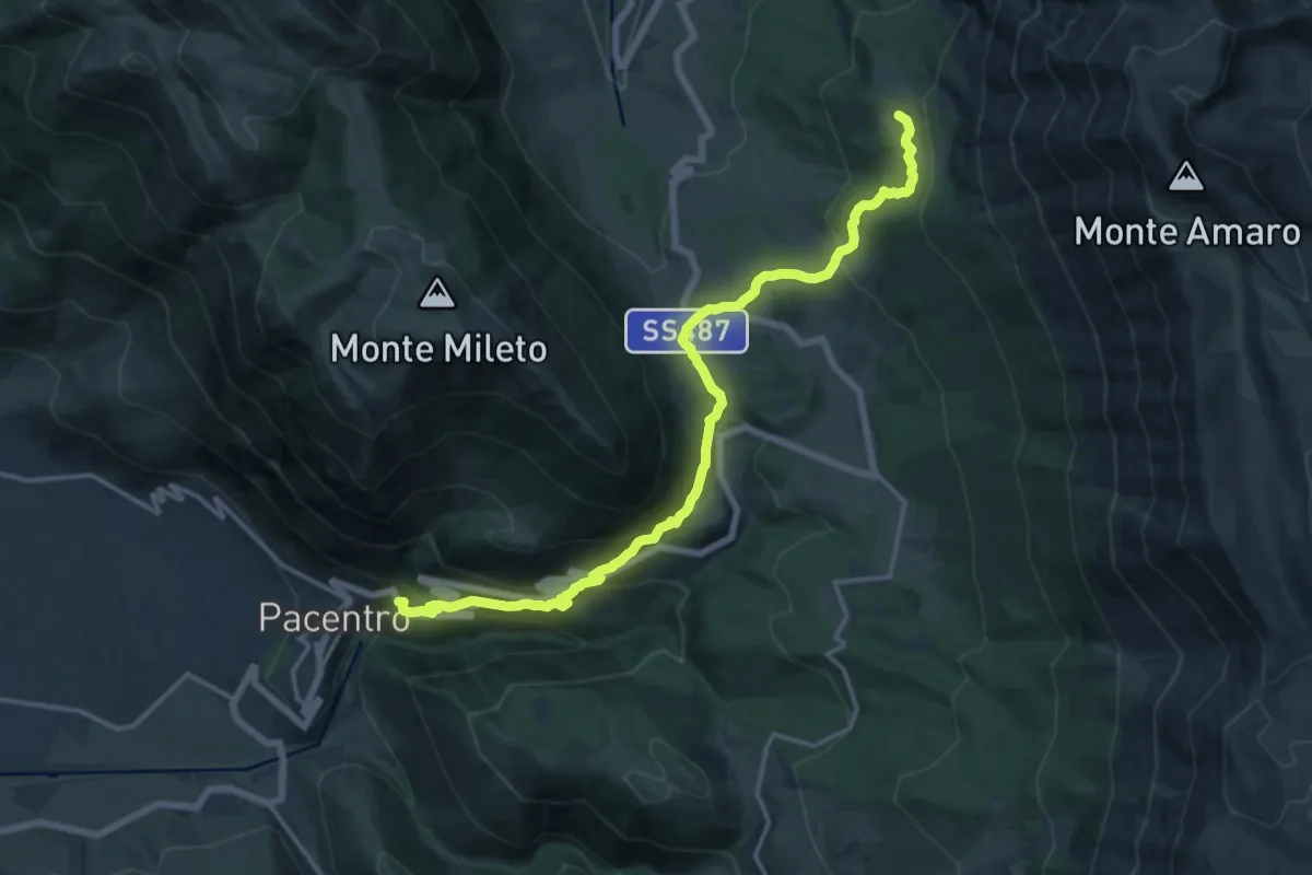
Demanding · Trail
Pacentro – Lama Bianca
18.2 km · ↑ 928 m · 6 h 18 min · 12 km away