Trails near Priverno
55 hikes starting within 15 km, nearest first.
Nearest first, page 1 of 2
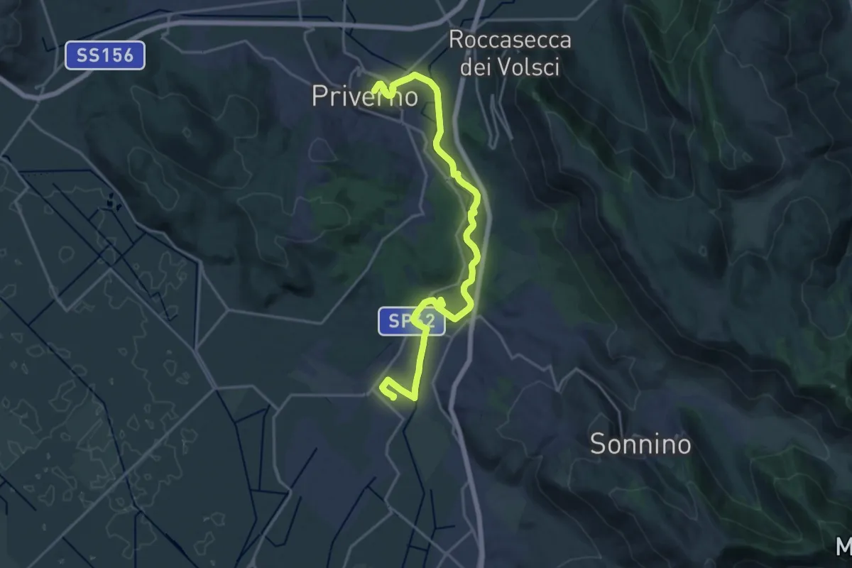
Demanding · Trail
Cammino della Regina Camilla - Tappa 1
21.9 km · ↑ 211 m · 5 h 37 min · under 1 km away
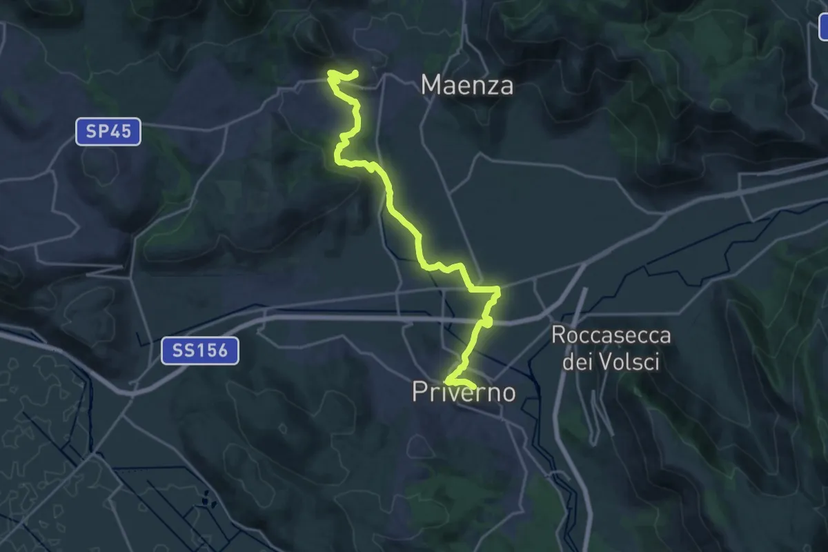
Demanding · Trail
Cammino della Regina Camilla - Tappa 2
21.4 km · ↑ 385 m · 5 h 53 min · under 1 km away
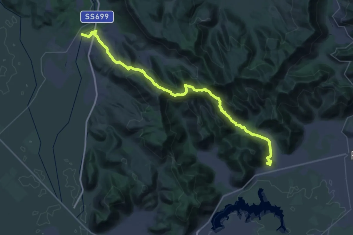
Demanding · Pilgrim path
Via Francigena - Variante Sonnino
21.6 km · ↑ 1015 m · 7 h 36 min · 4 km away
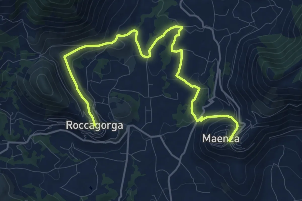
Medium · Trail
Cammino della Regina Camilla - Tappa 3
14.2 km · ↑ 452 m · 4 h 20 min · 6 km away
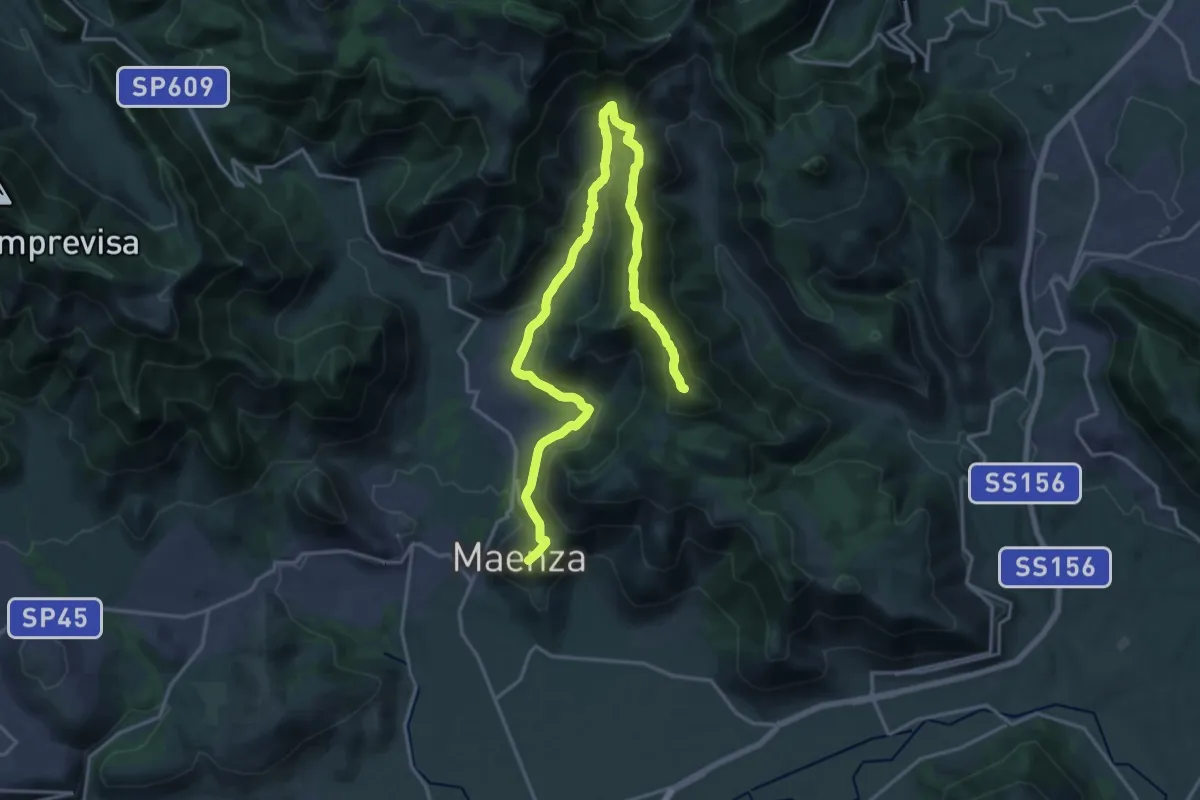
Demanding · Summit
Cammino della Regina Camilla - Tappa 4
25.8 km · ↑ 1133 m · 8 h 33 min · 6 km away
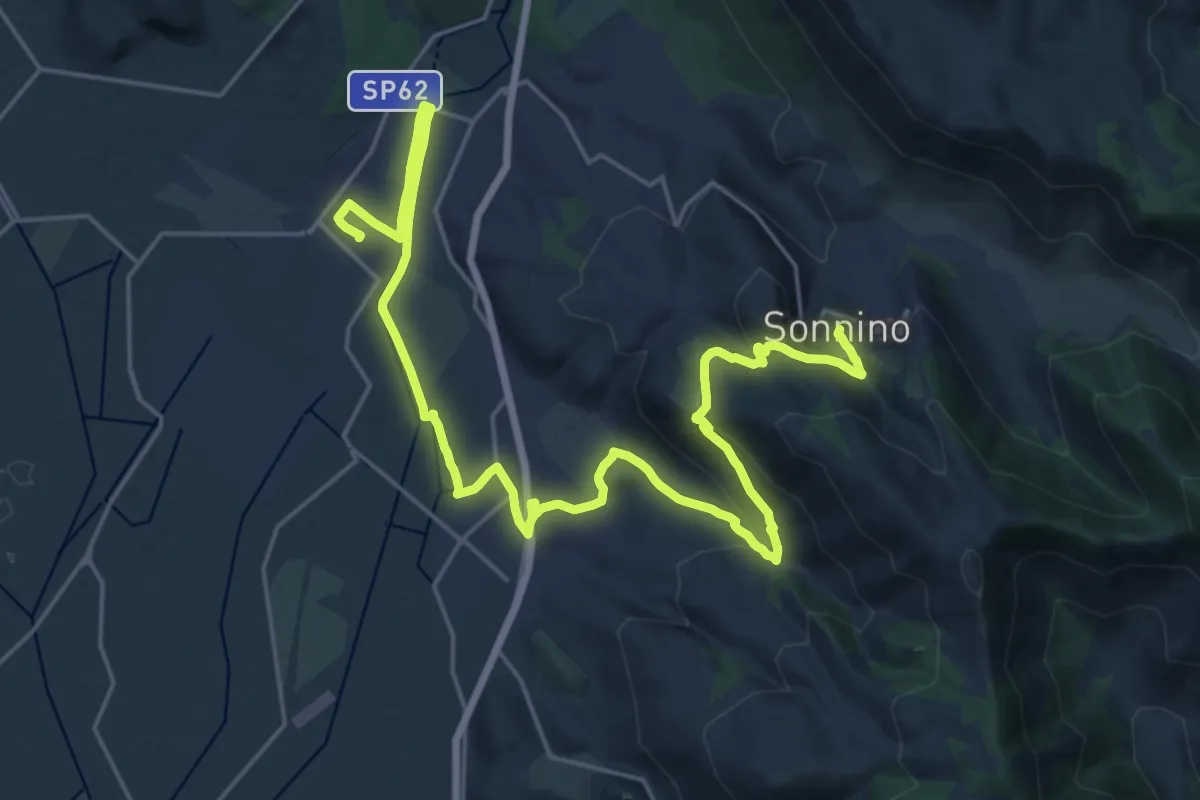
Medium · Trail
Cammino della Regina Camilla - Tappa 13
16.2 km · ↑ 492 m · 4 h 55 min · 6 km away
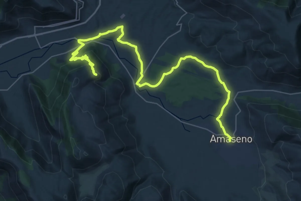
Medium · Trail
Cammino della Regina Camilla - Tappa 10
16.7 km · ↑ 185 m · 4 h 45 min · 8 km away
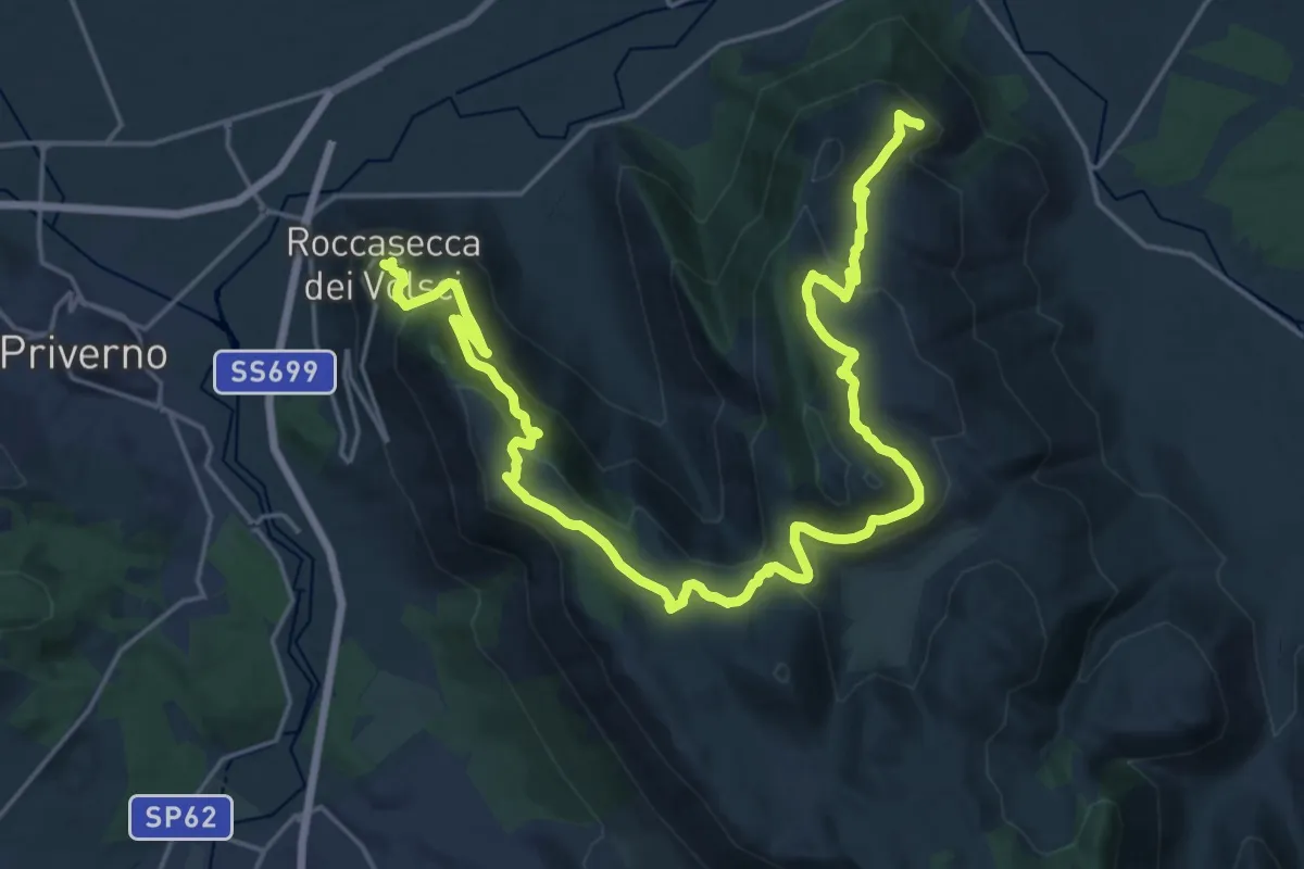
Medium · Trail
Cammino della Regina Camilla - Tappa 11
15.4 km · ↑ 438 m · 4 h 50 min · 8 km away
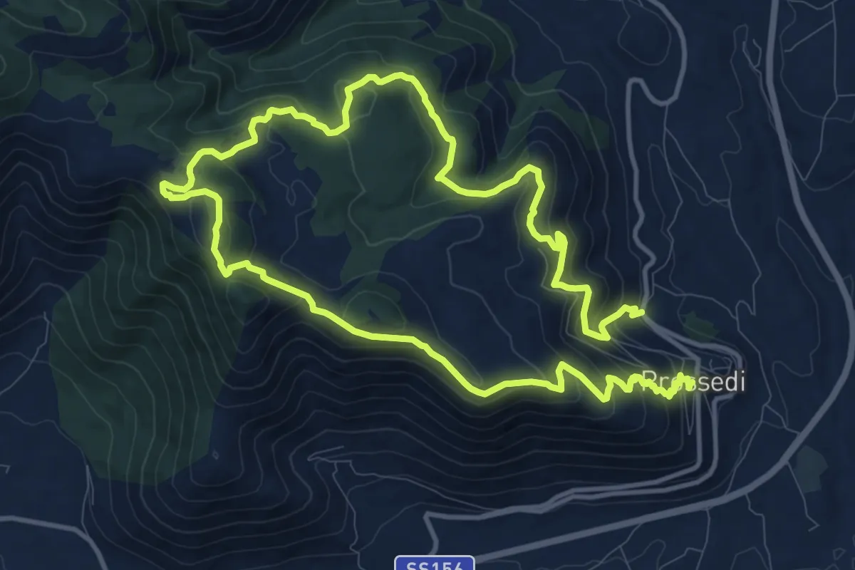
Medium · Trail
Giro di Costa La Grilla
11.1 km · ↑ 552 m · 3 h 59 min · 8 km away
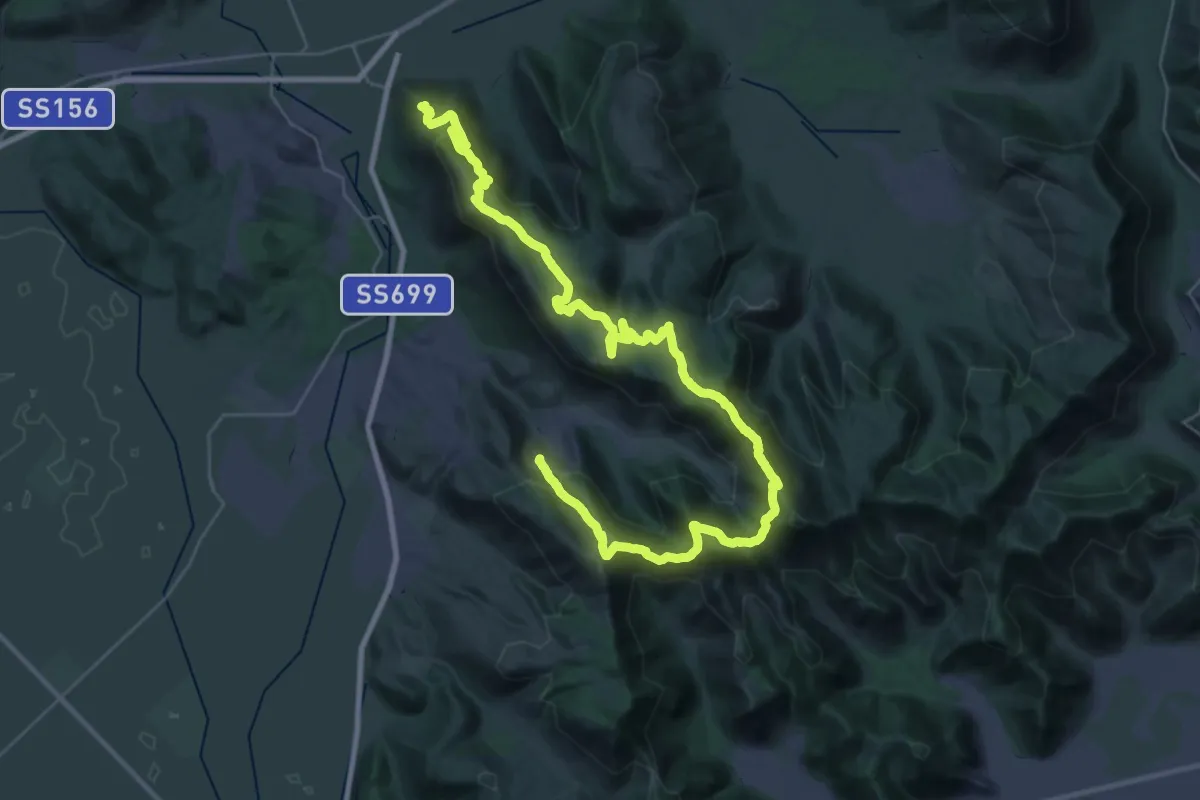
Demanding · Trail
Cammino della Regina Camilla - Tappa 12
25.2 km · ↑ 993 m · 8 h 28 min · 8 km away
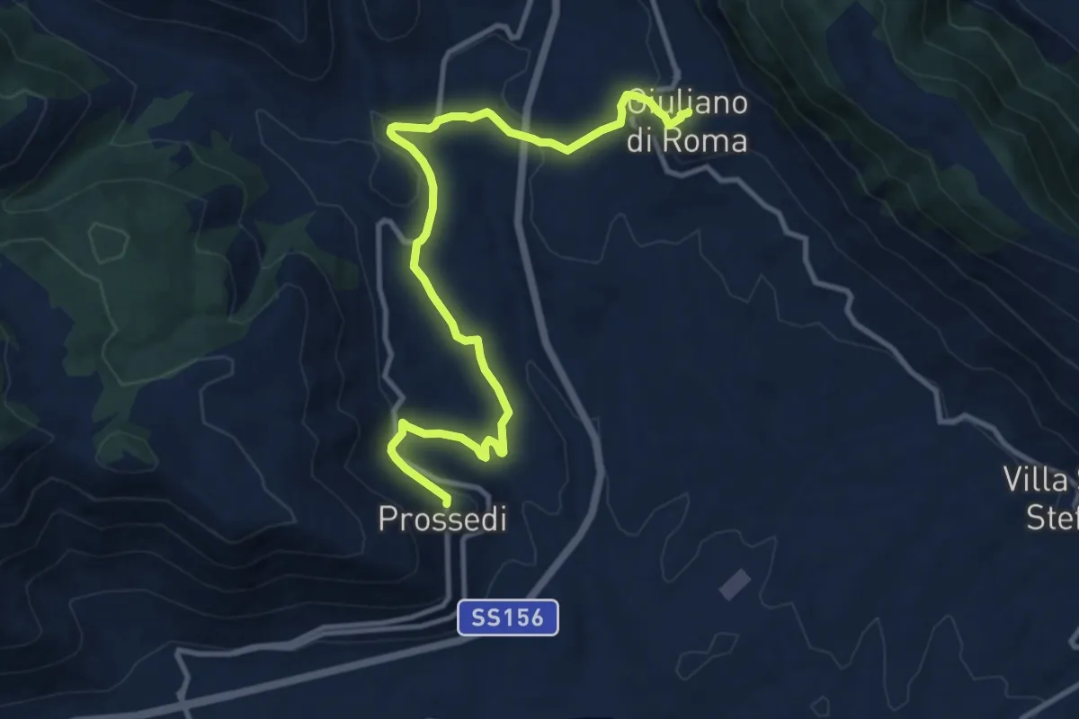
Medium · Trail
Cammino della Regina Camilla - Tappa 5
12.9 km · ↑ 388 m · 3 h 53 min · 8 km away
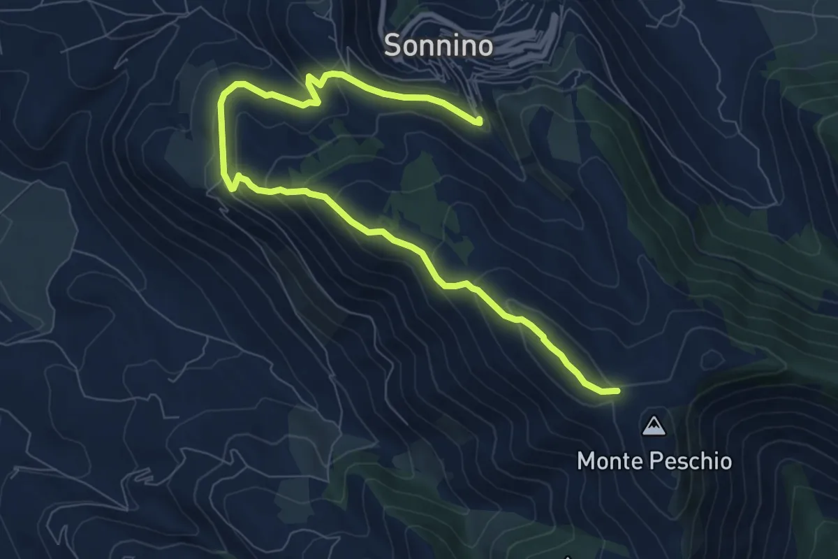
Medium · Cabin
Rifugio Gasperone-Ponte dei Ladri
10.6 km · ↑ 562 m · 3 h 43 min · 9 km away
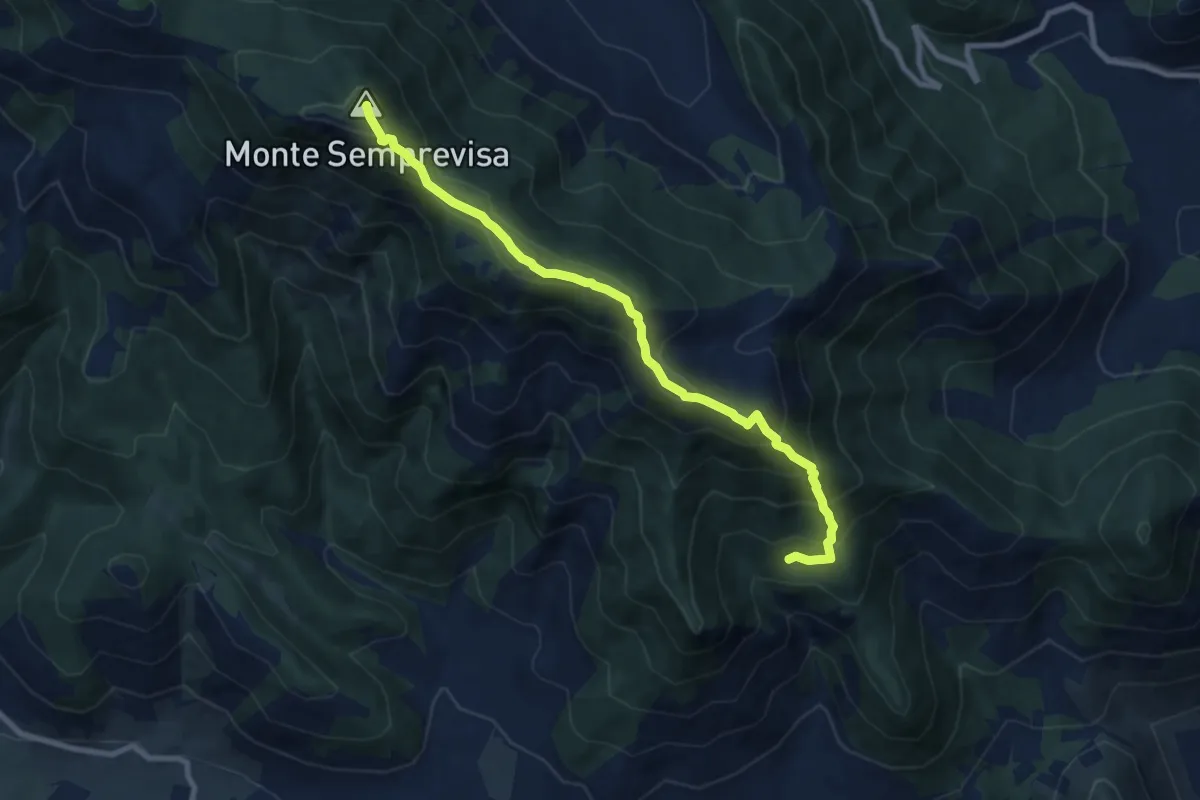
Medium · Summit
Sant'Erasmo-Semprevisa
9.5 km · ↑ 759 m · 3 h 53 min · 9 km away
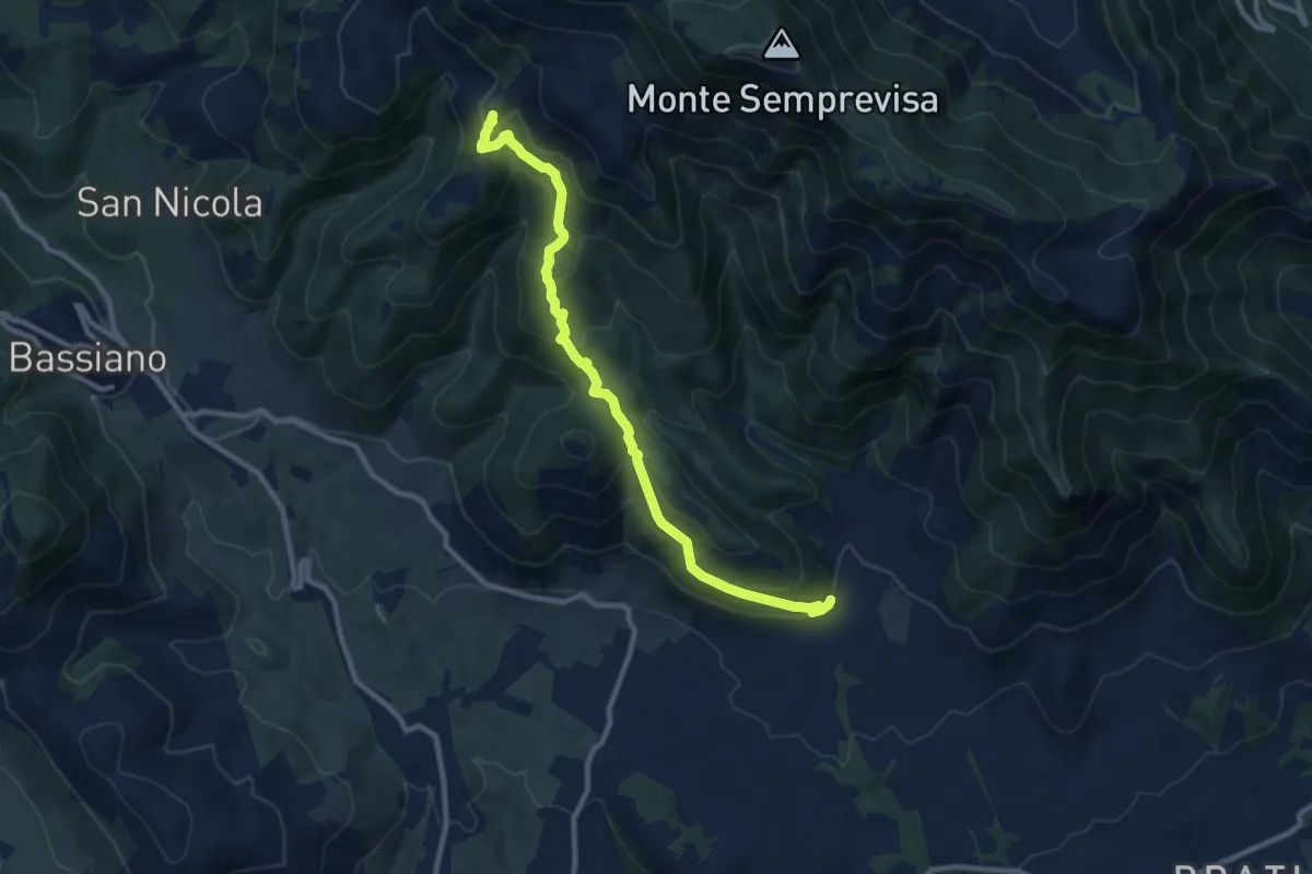
Medium · Cabin
Longara (Sezze) – Rifugio Liberamonte
11.1 km · ↑ 541 m · 3 h 48 min · 10 km away
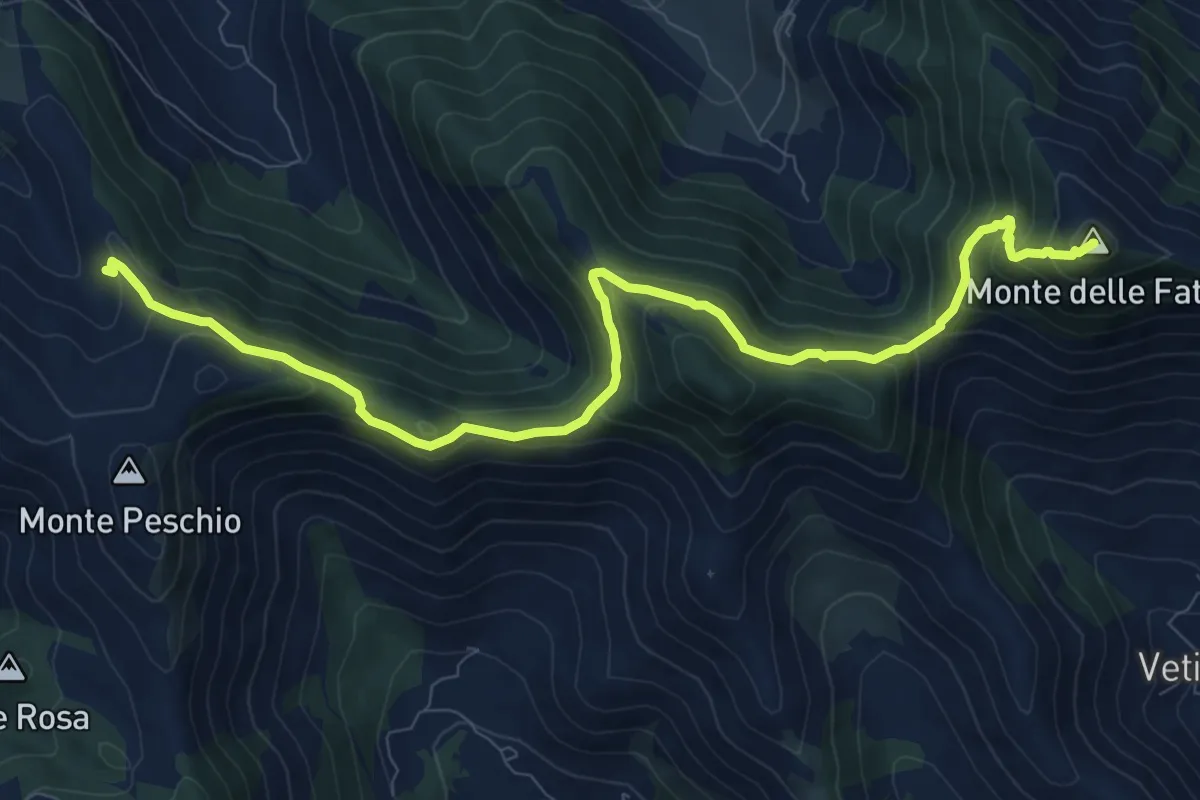
Medium · Summit
Rifugio La Cona – Monte delle Fate
11.8 km · ↑ 702 m · 4 h 18 min · 10 km away
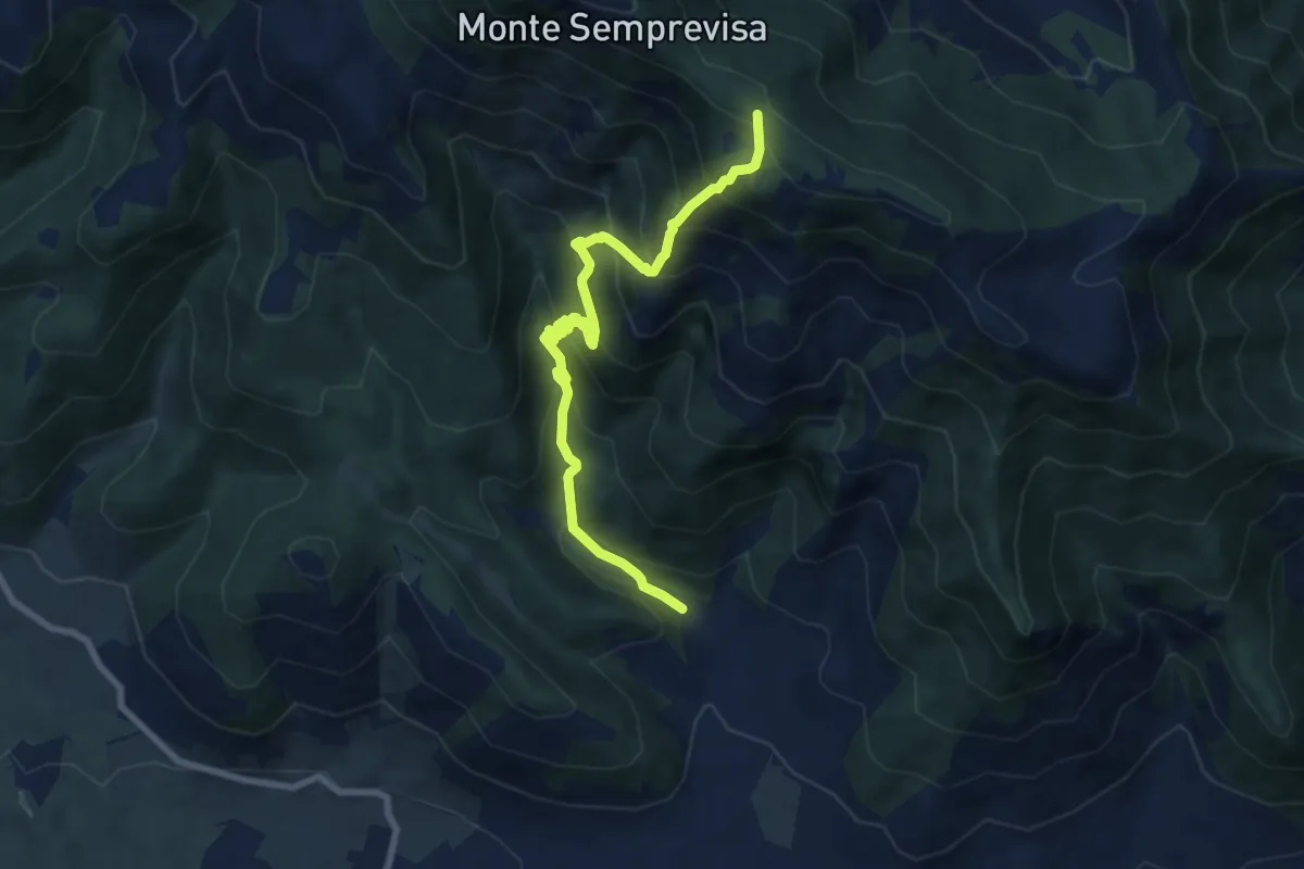
Demanding · Trail
Longara (Sezze) – Monte La Croce
9.2 km · ↑ 876 m · 4 h 5 min · 10 km away
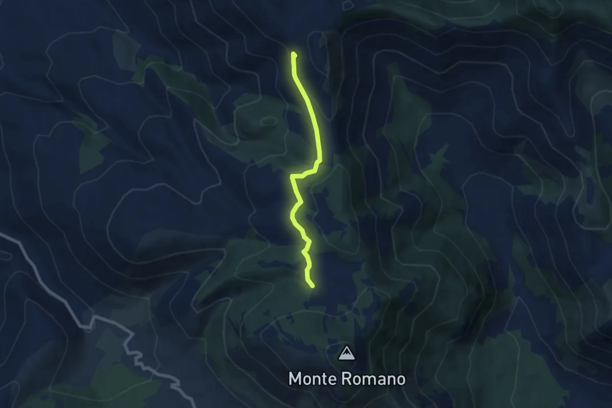
Easy · Trail
Percorso 533 – Percorso 532
5.8 km · ↑ 185 m · 1 h 47 min · 11 km away
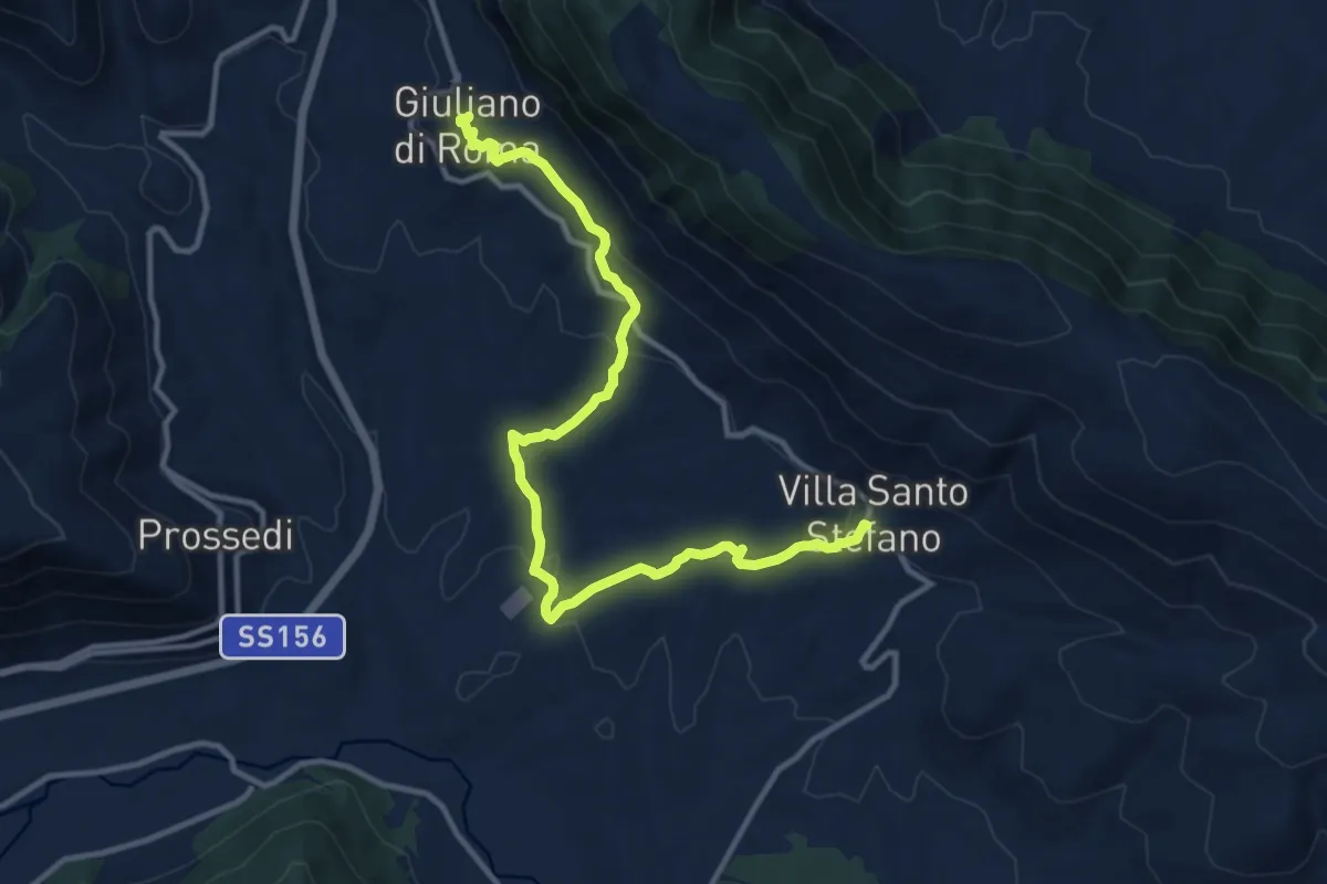
Medium · Trail
Cammino della Regina Camilla - Tappa 6
14.1 km · ↑ 430 m · 4 h 16 min · 11 km away
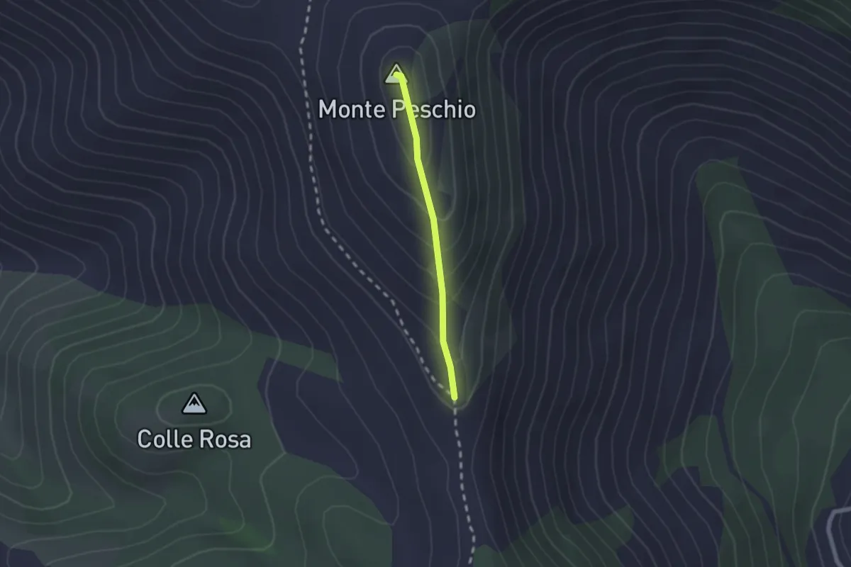
Easy · Summit
Via dei Cippi, tratta M. Peschio-M. Ceraso
1.7 km · ↑ 132 m · 41 min · 12 km away
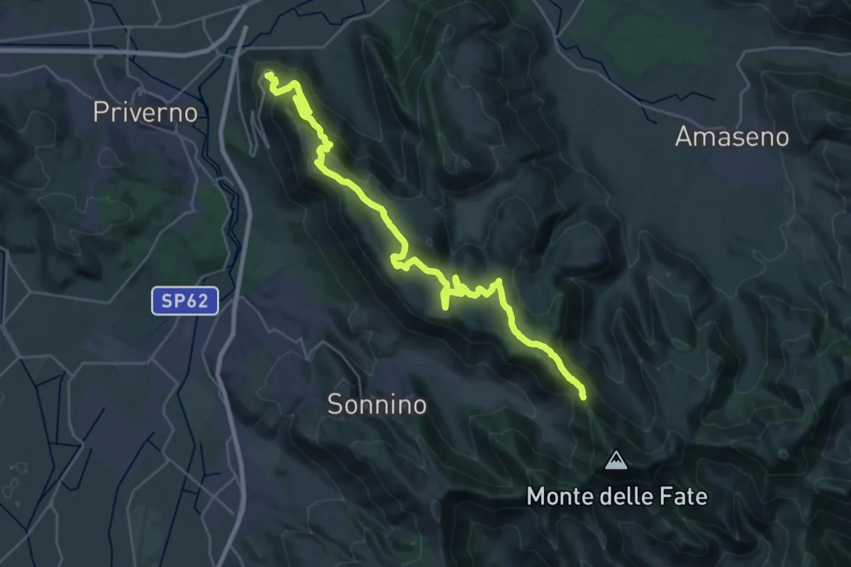
Medium · Trail
Roccasecca dei Volsci – Percorso 535
16.0 km · ↑ 298 m · 4 h 50 min · 12 km away
Medium · Trail
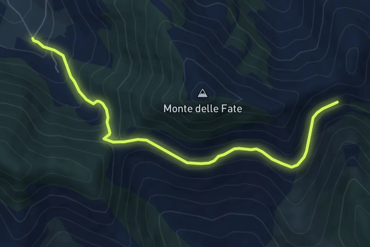
Cerreto-Serra Palombi-Fontana La Savia
7.2 km · ↑ 430 m · 2 h 38 min · 12 km away
Demanding · Summit
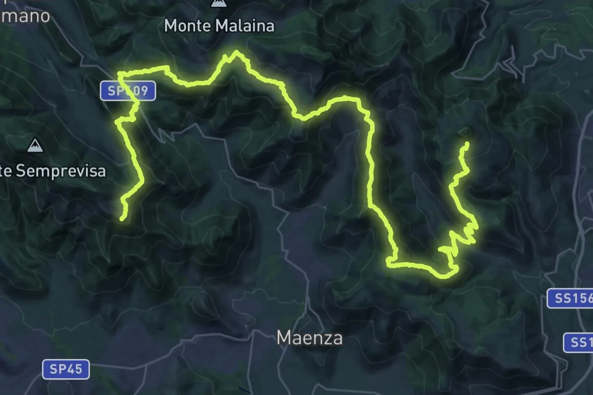
Alta Via della Fenice
57.5 km · ↑ 3426 m · 21 h · 12 km away
Demanding · Summit
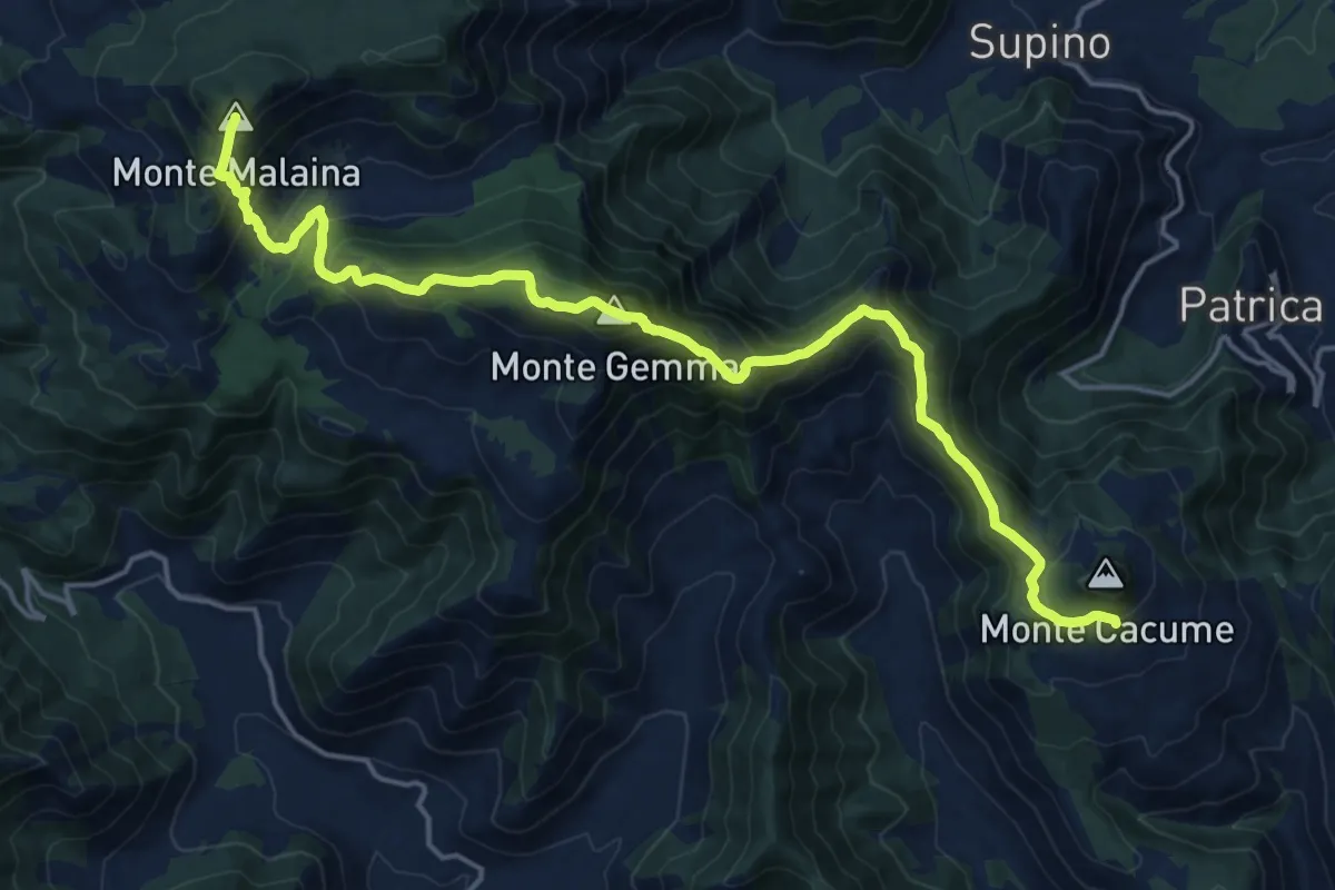
Alta Via della Fenice
21.6 km · ↑ 1700 m · 8 h 46 min · 12 km away
Medium · Summit
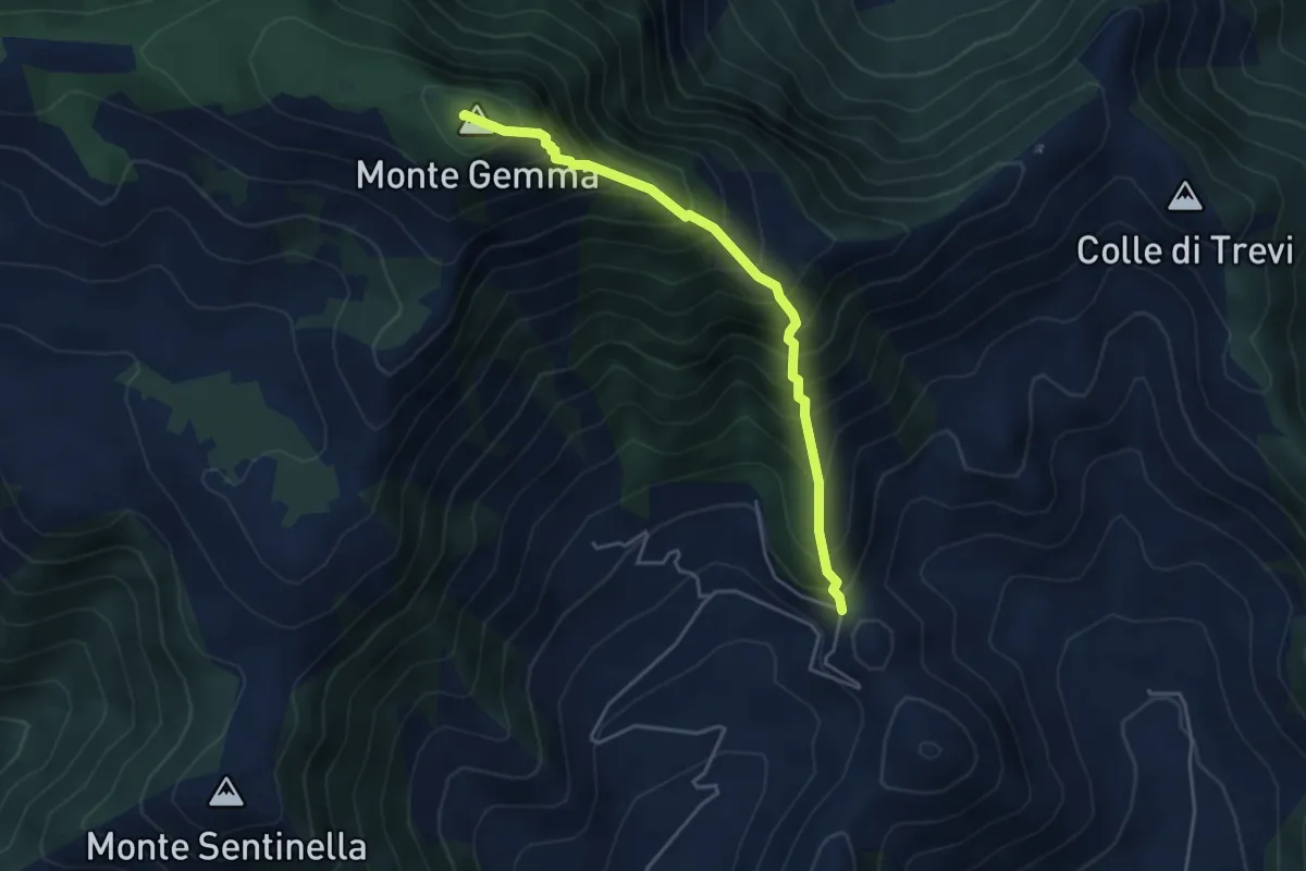
Prossimità Chiesetta di S. Luca – Monte Gemma
4.6 km · ↑ 726 m · 2 h 39 min · 12 km away
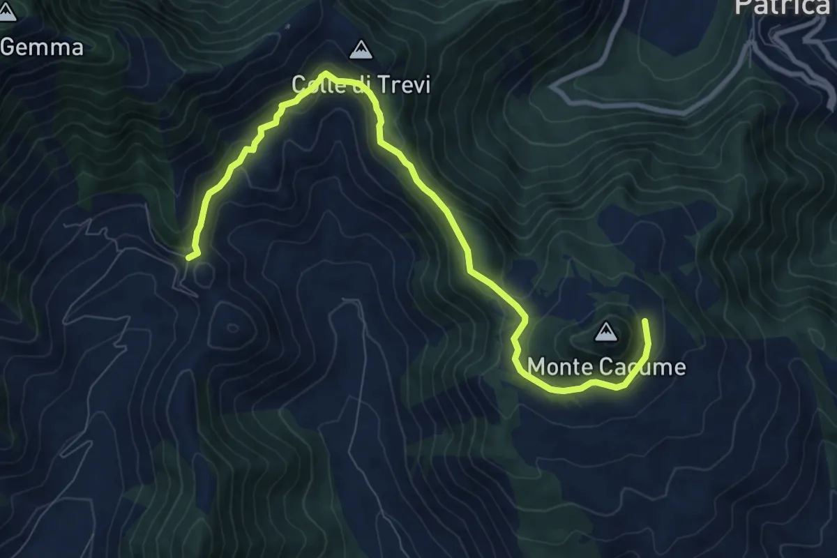
Medium · Trail
Valico Valle di Monte Acuto
10.4 km · ↑ 454 m · 3 h 26 min · 12 km away
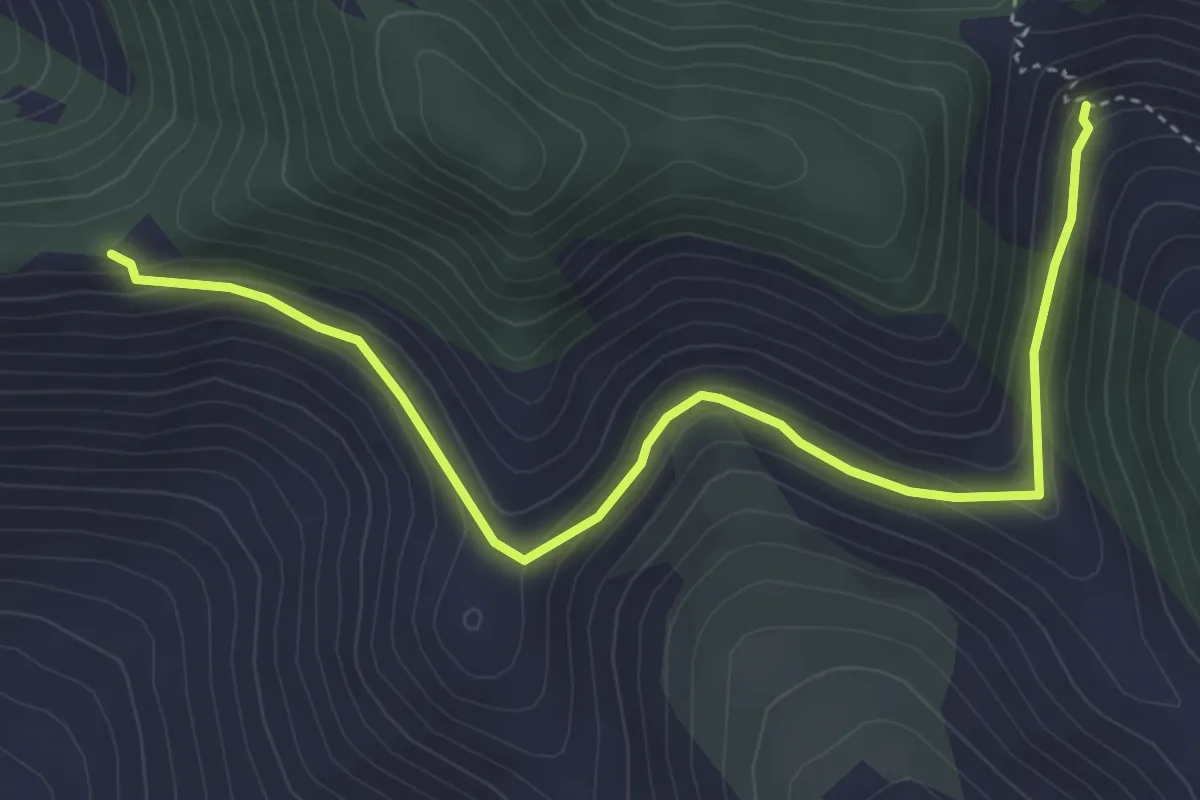
Easy · Trail
Serra Palombi – CAI 534
5.2 km · ↑ 209 m · 1 h 41 min · 12 km away
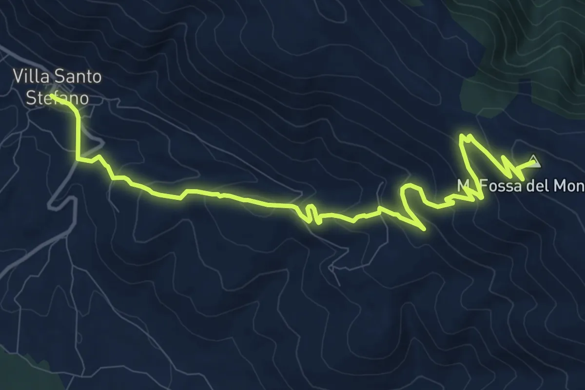
Medium · Summit
Cammino della Regina Camilla - Tappa 7
14.1 km · ↑ 679 m · 4 h 48 min · 12 km away
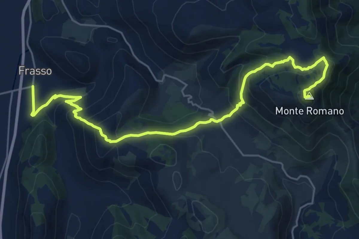
Demanding · Summit
Frasso - Monte Romano
19.3 km · ↑ 1124 m · 6 h 59 min · 12 km away
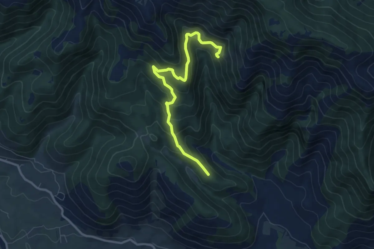
Demanding · Summit
Sentiero dei Tassi Secolari
8.1 km · ↑ 509 m · 3 h · 12 km away
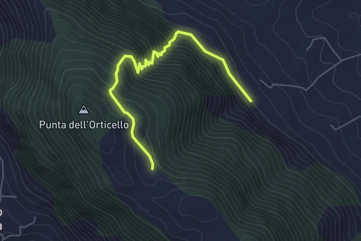
Medium · Trail
Sentiero dell'Arcaro
5.3 km · ↑ 456 m · 2 h 15 min · 12 km away
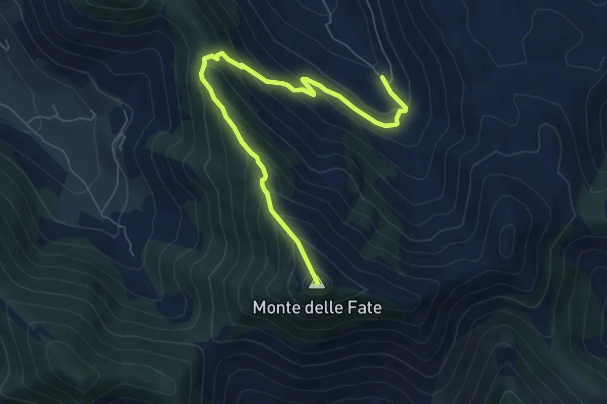
Medium · Summit
Valle Vettia(Ravicelle)-Monte delle Fate
7.6 km · ↑ 602 m · 3 h 7 min · 13 km away
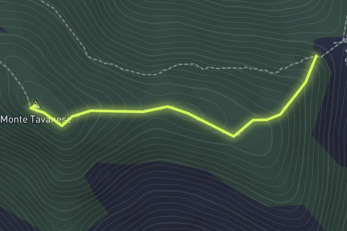
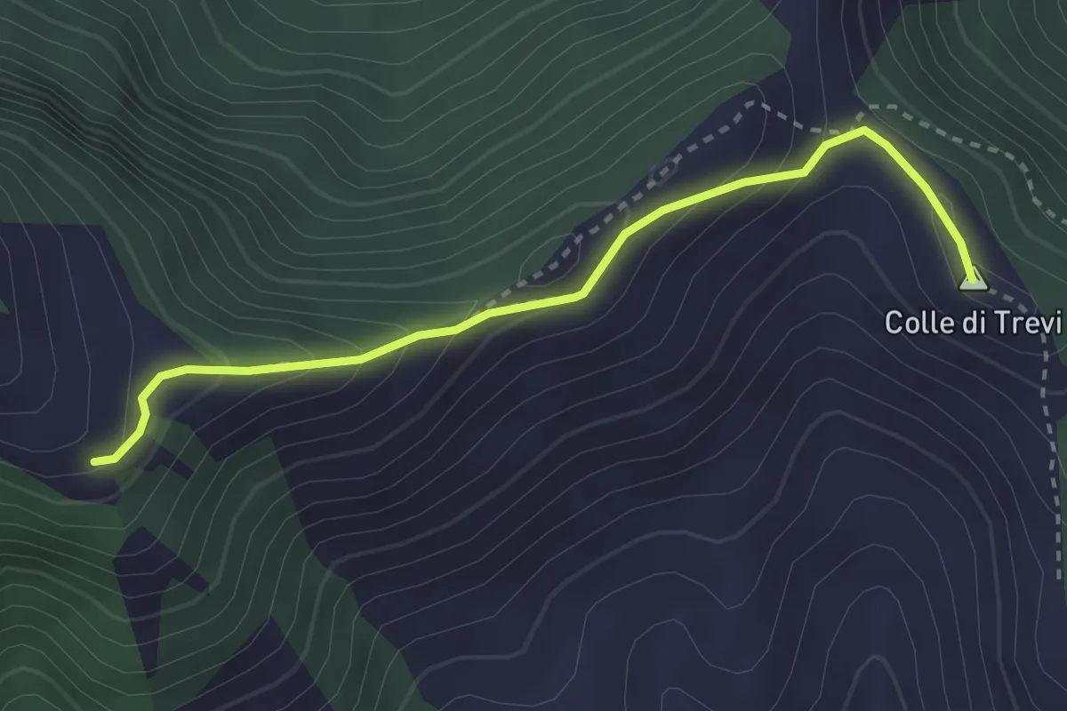
Easy · Summit
Serra Palombi CAI 534 – Sentiero CAI 534
2.0 km · ↑ 168 m · 51 min · 13 km away
Medium · Summit
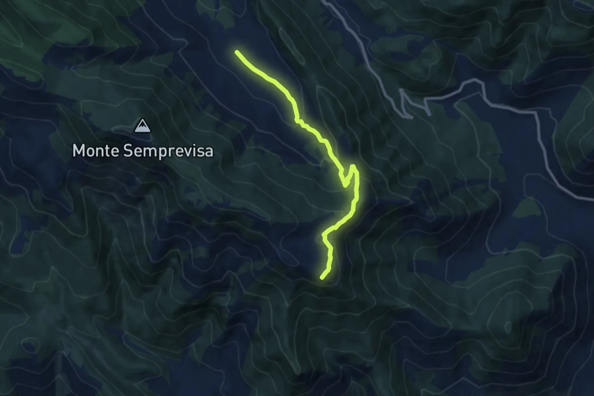
Percorso 725 – Prati di Mastro Marco
3.2 km · ↑ 241 m · 1 h 17 min · 13 km away
Medium · Summit
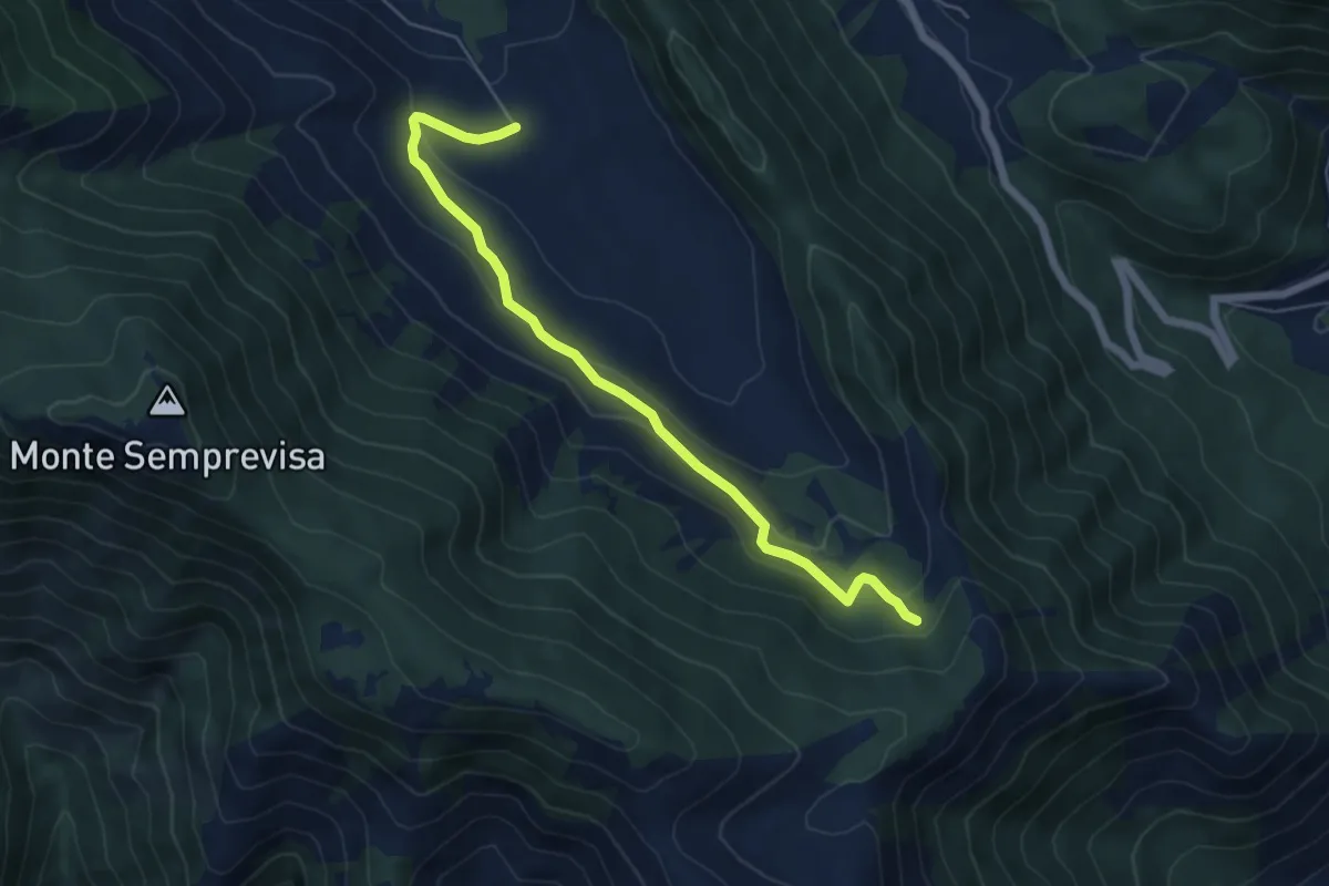
Pian della Faggeta-Monte Pizzone
8.9 km · ↑ 472 m · 3 h 7 min · 13 km away
Easy · Trail
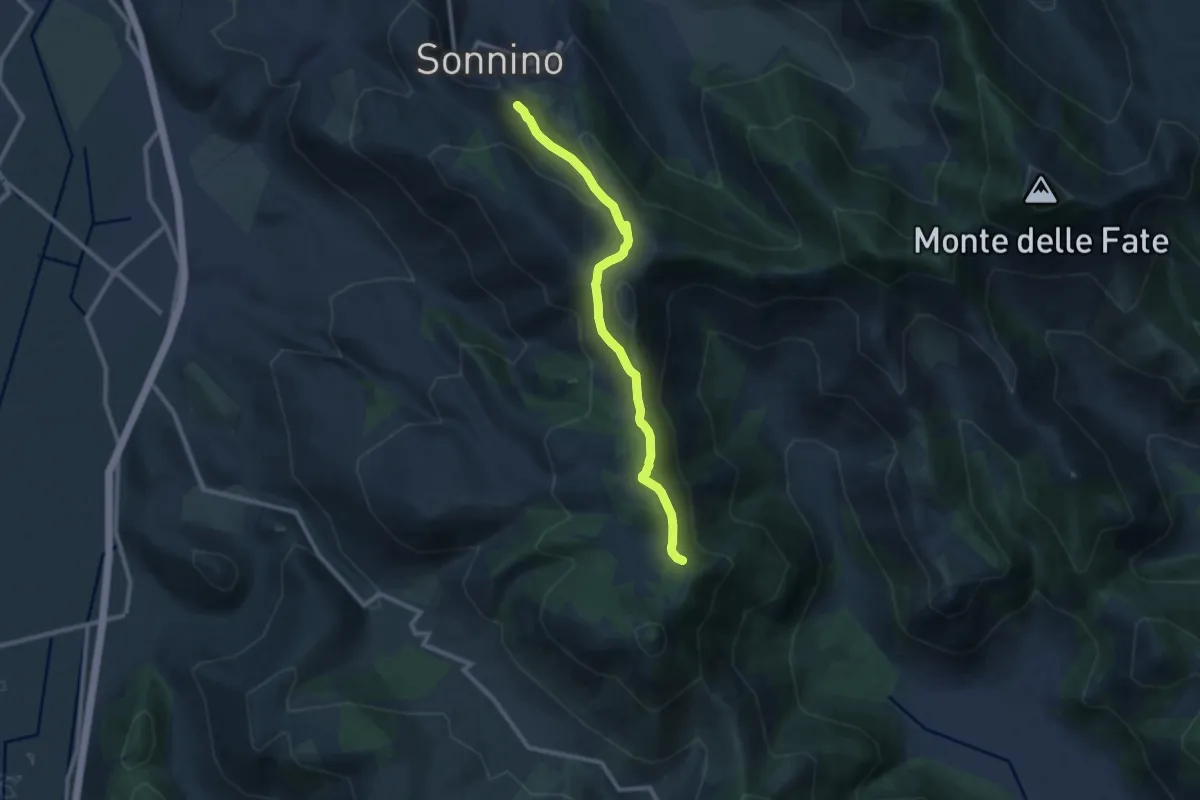
Pian della Faggeta – Percorso 708
6.3 km · ↑ 240 m · 2 h · 13 km away
Medium · Trail
Sonnino Monte Romano
10.9 km · ↑ 575 m · 3 h 49 min · 13 km away
Medium · Summit
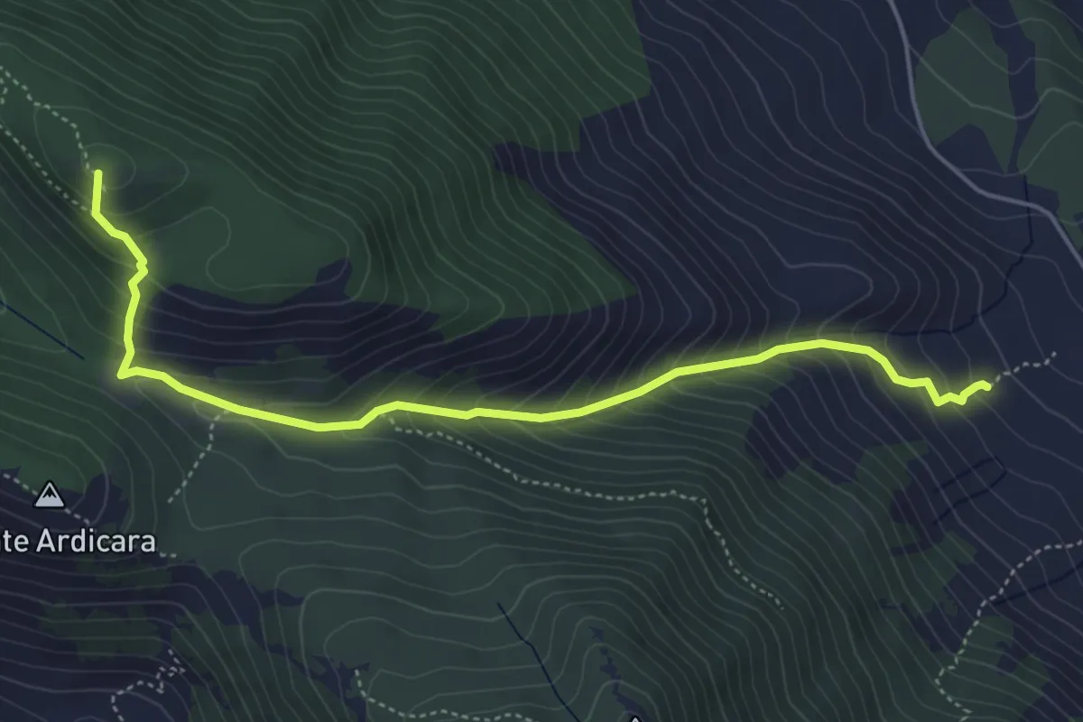
Pian della Faggeta-Acqua di Mezzavalle-Monte Capreo
5.8 km · ↑ 539 m · 2 h 32 min · 13 km away
Medium · Summit
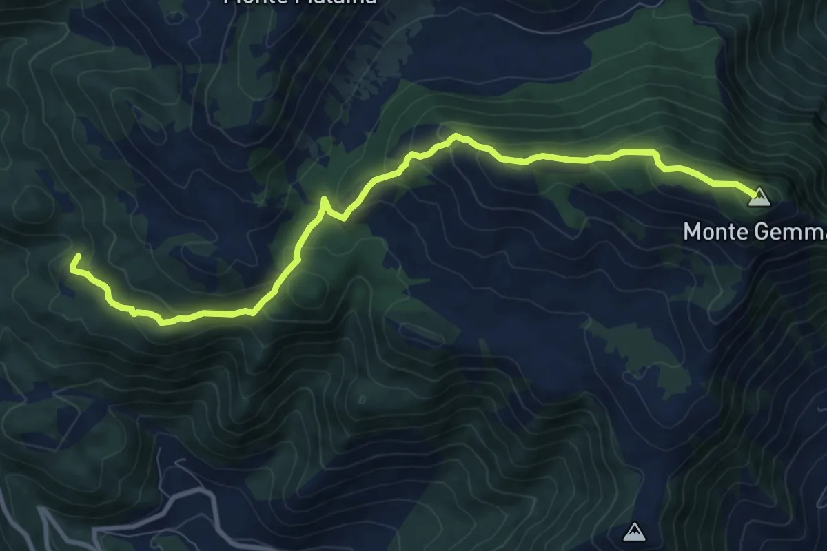
Acqua del Carpino-Monte Gemma
10.9 km · ↑ 597 m · 3 h 51 min · 13 km away
Medium · Summit
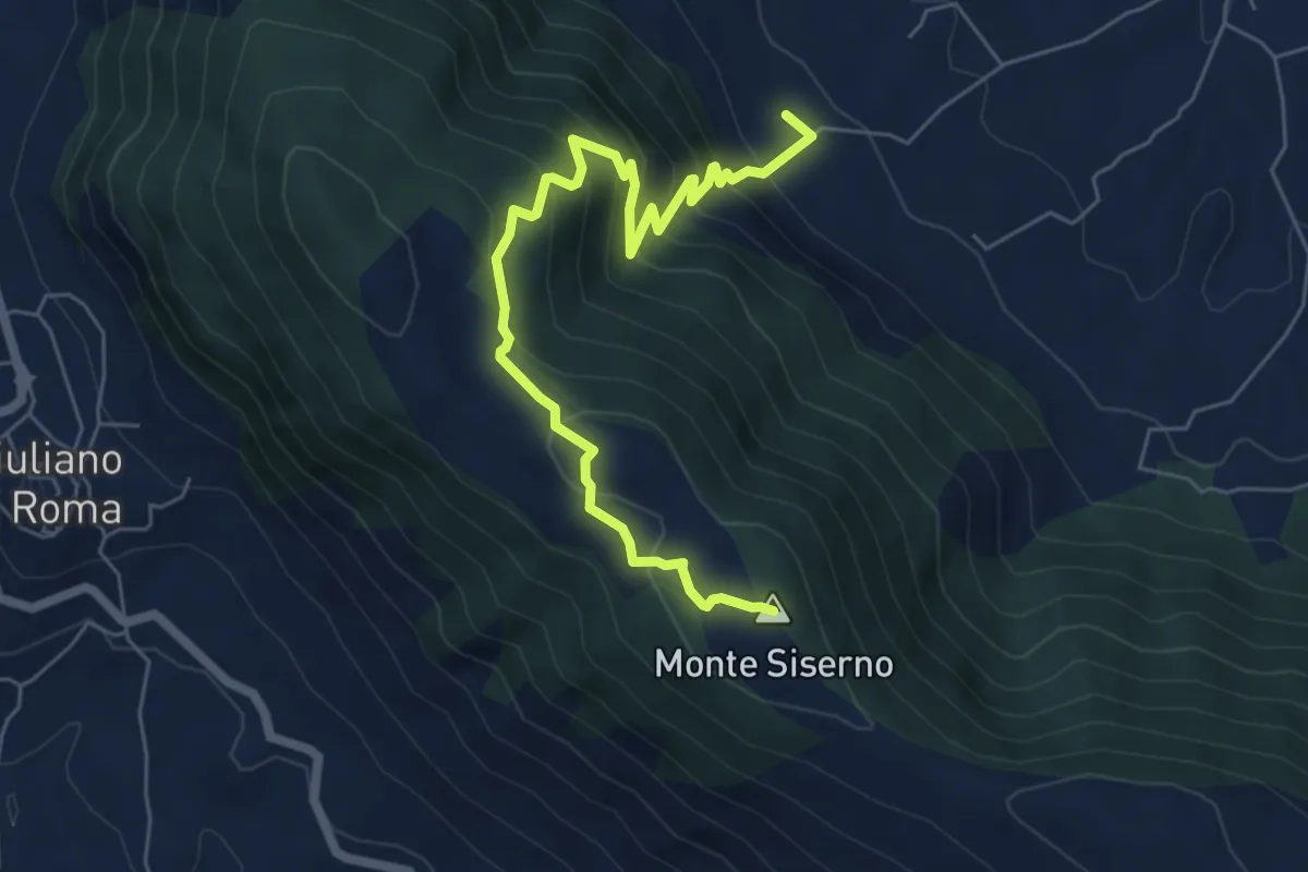
Fontana del Gatto - Monte Siserno
7.3 km · ↑ 588 m · 3 h · 13 km away
Medium · Cabin
Fonte di Santa Serena – Intersezione con CAI 724
3.4 km · ↑ 49 m · 55 min · 13 km away
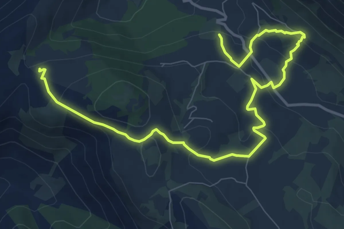
Medium · Trail
Variante Cavallo Bianco-Campo Soriano
11.0 km · ↑ 400 m · 3 h 28 min · 13 km away
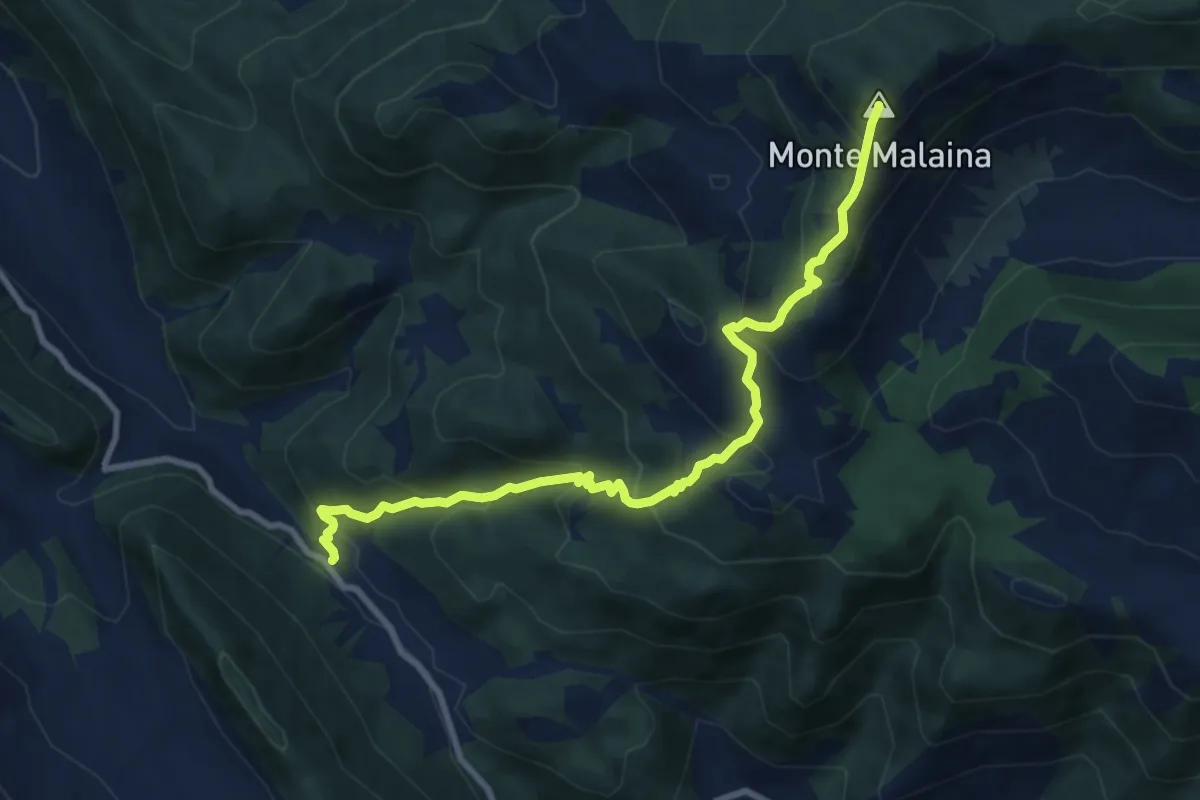
Medium · Summit
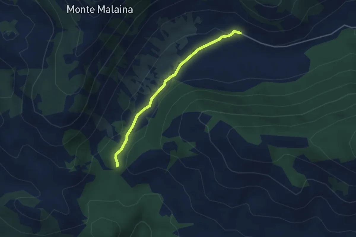
Cona di Selvapiana-Monte Malaina
10.1 km · ↑ 790 m · 4 h 5 min · 13 km away
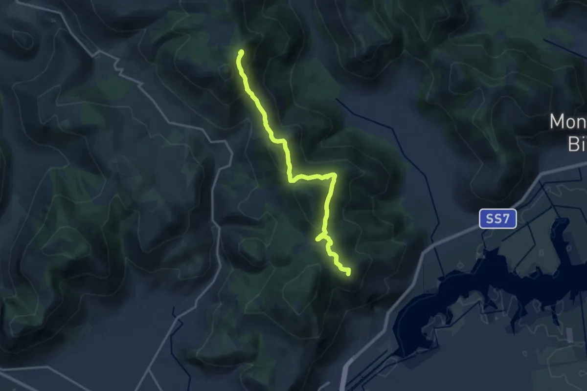
Medium · Summit
Via dei Cippi
14.0 km · ↑ 590 m · 4 h 35 min · 14 km away
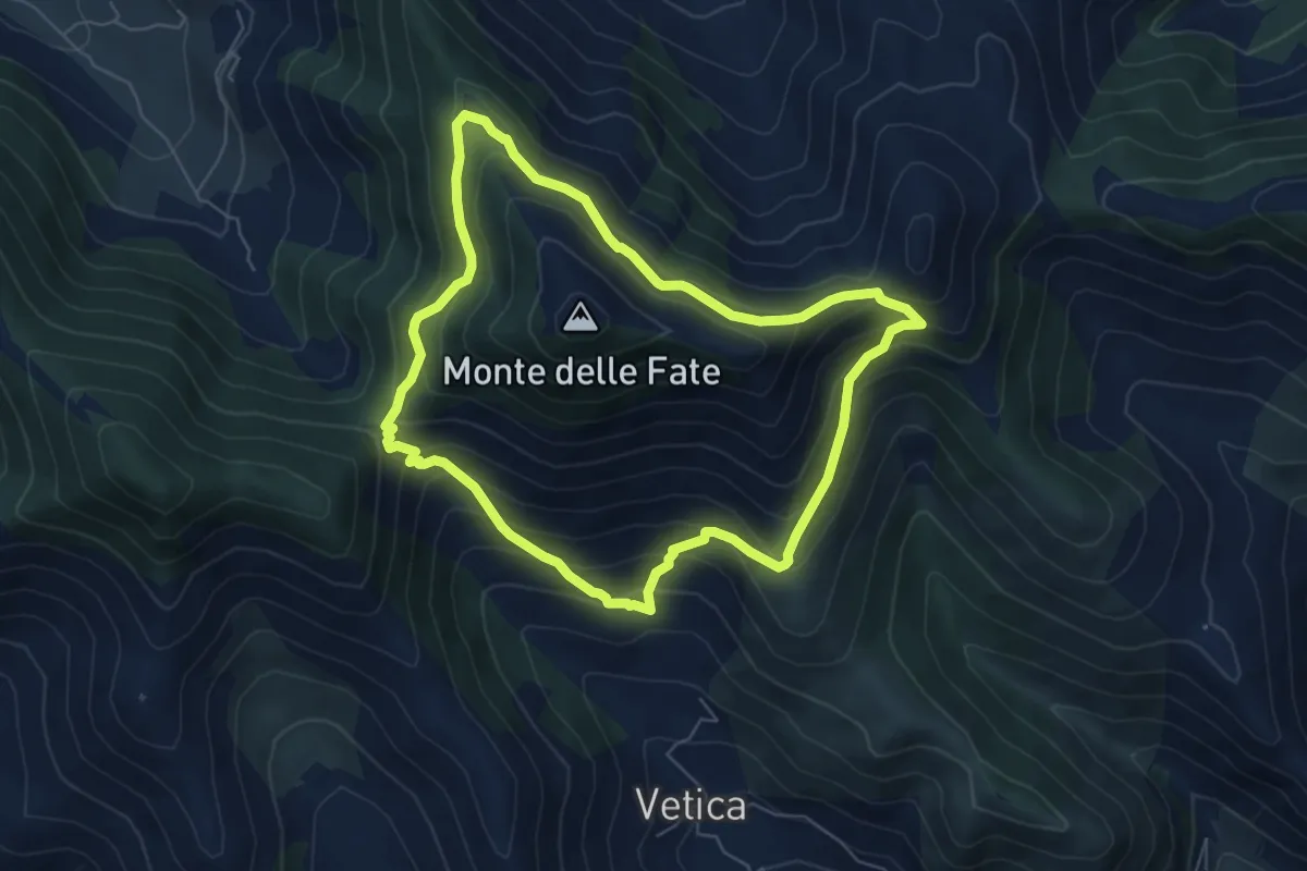
Medium · Trail
Anello Mandra di Riccitiello - Jo Caturo
6.6 km · ↑ 487 m · 2 h 42 min · 14 km away
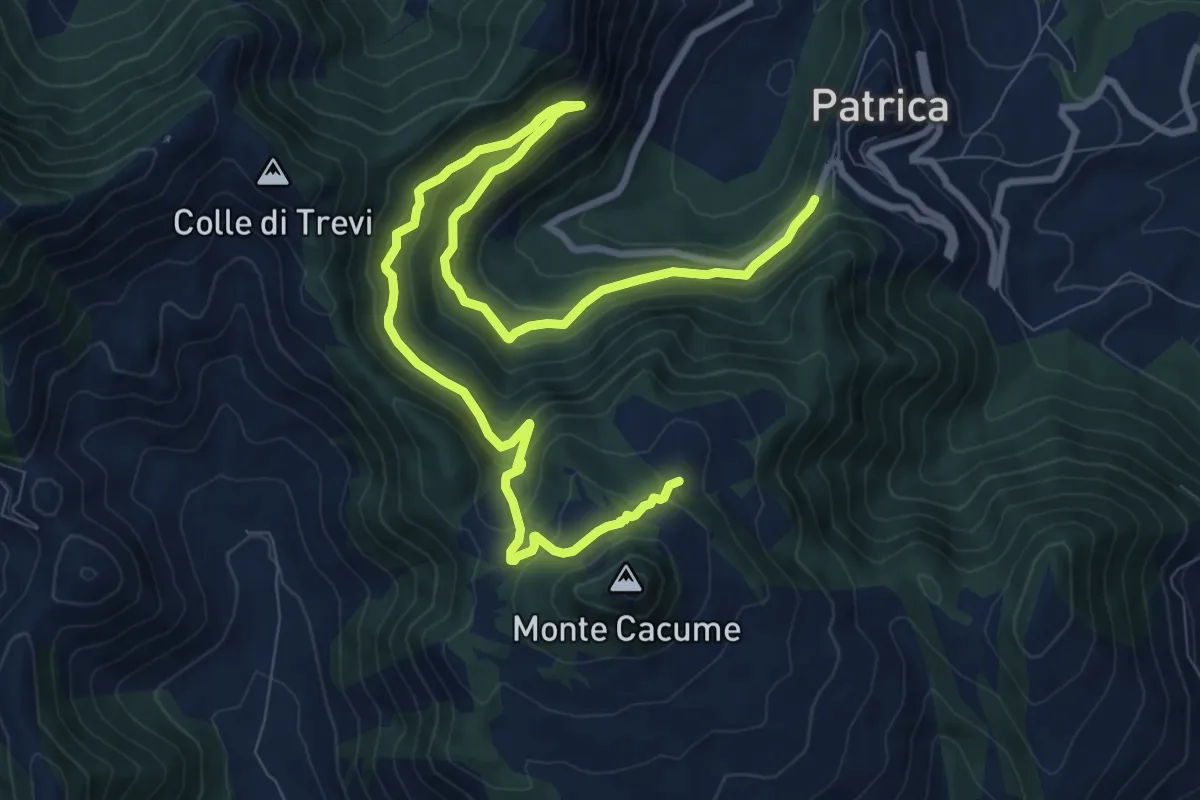
Demanding · Trail
Sentiero dell’Arciprete
14.0 km · ↑ 835 m · 5 h 7 min · 14 km away
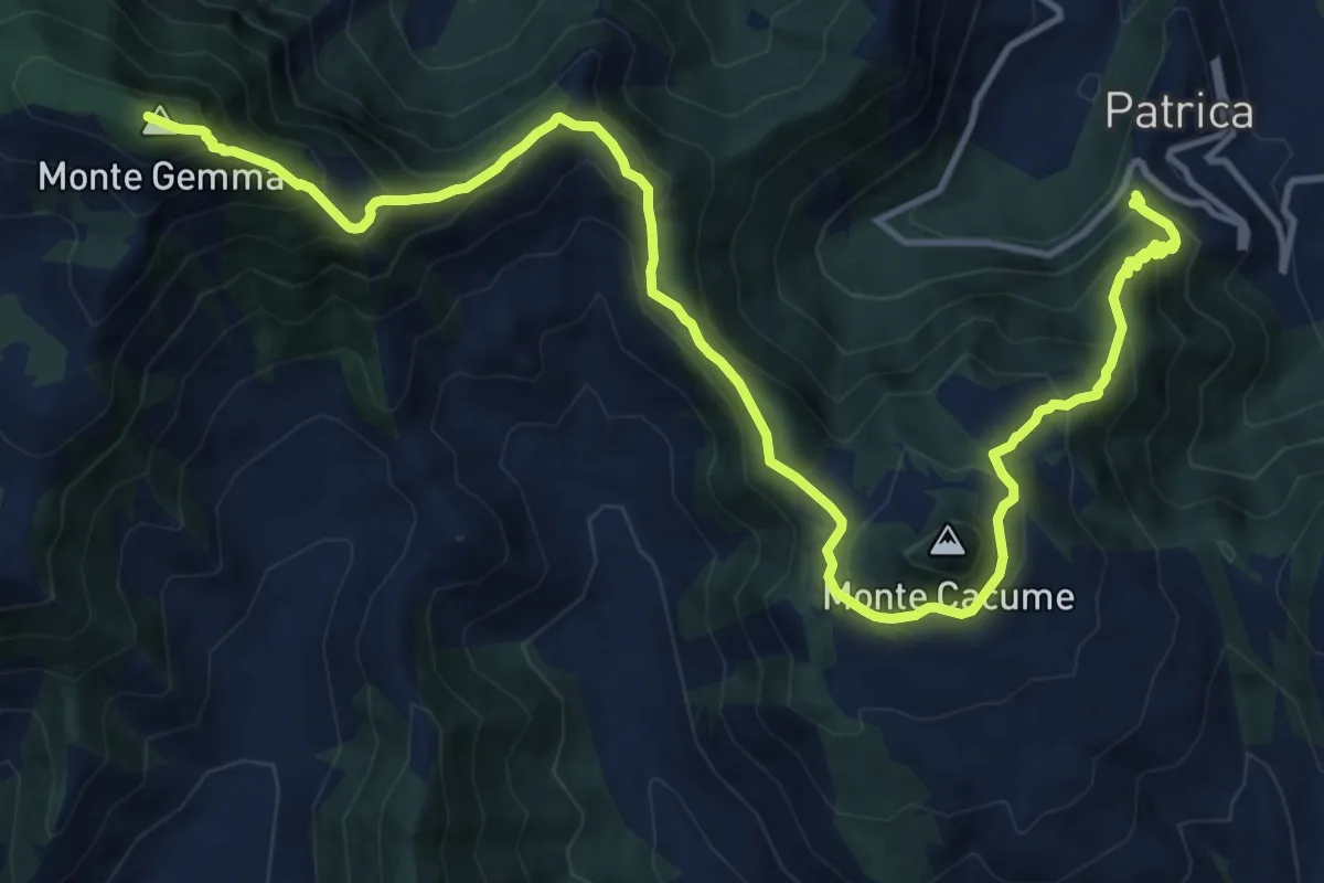
Demanding · Summit
AVLO
18.1 km · ↑ 1515 m · 7 h 34 min · 14 km away
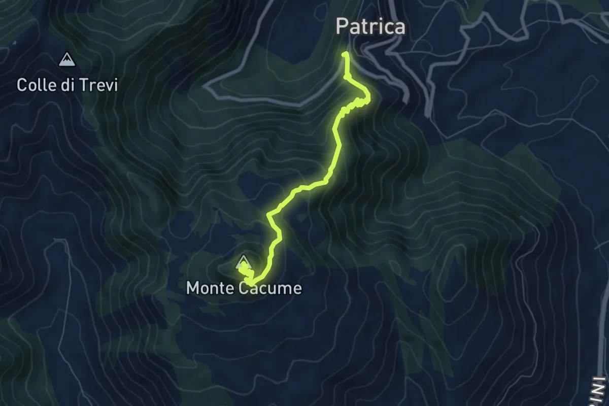
Medium · Summit
Patrica-Monte Cacume
7.1 km · ↑ 741 m · 3 h 17 min · 14 km away
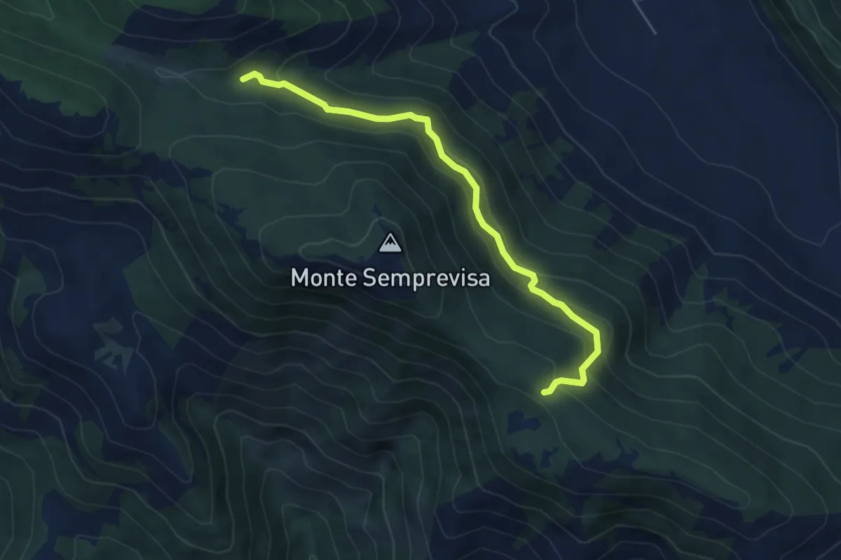
Easy · Trail
Acqua di Mezzavalle – Colombrella (Percorso 709)
5.5 km · ↑ 301 m · 1 h 57 min · 14 km away