Trails near Prosecco / Prosek
78 hikes starting within 15 km, nearest first.
Nearest first, page 2 of 2
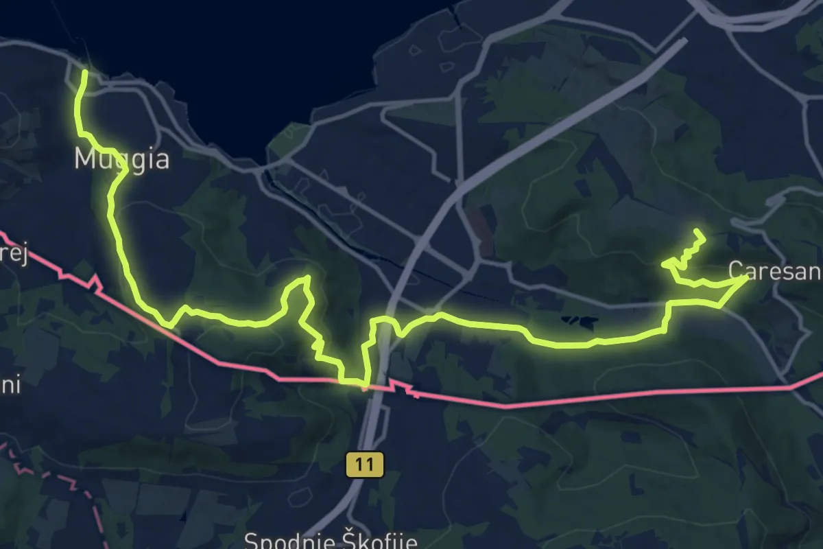
Demanding · Summit
Via Alpina Yellow B1
21.2 km · ↑ 650 m · 6 h 25 min · 12 km away
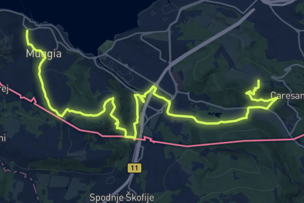
Demanding · Summit
Centro visite Val Rosandra – Muggia
23.2 km · ↑ 656 m · 6 h 54 min · 12 km away
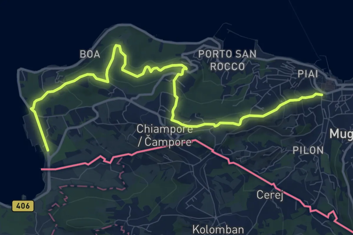
Medium · Trail
Muggia – San Bartolomeo
12.4 km · ↑ 497 m · 4 h · 12 km away
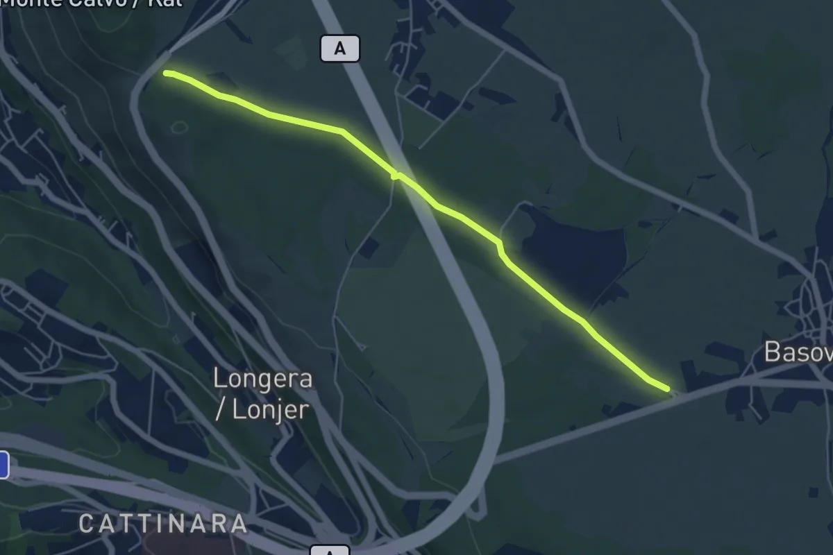
Easy · Trail
Bivio sentiero 001 (quota 352 m) – Bivio sentiero 044 (Bosco Igouza) (quota 368 m)
5.4 km · ↑ 23 m · 1 h 19 min · 12 km away
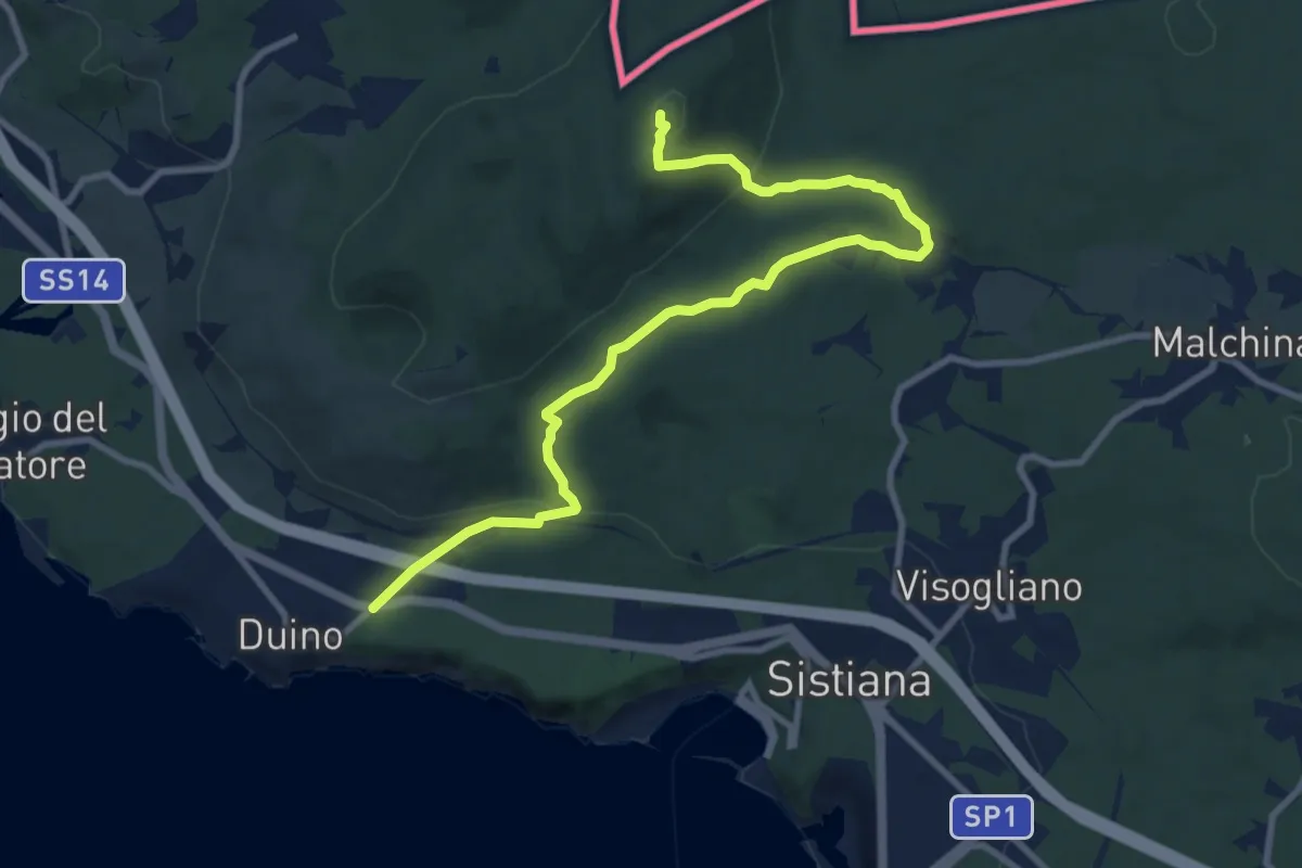
Medium · Summit
Duino (quota 80 m) / Devin – Bivio sentiero n. 003
10.9 km · ↑ 327 m · 3 h 17 min · 12 km away
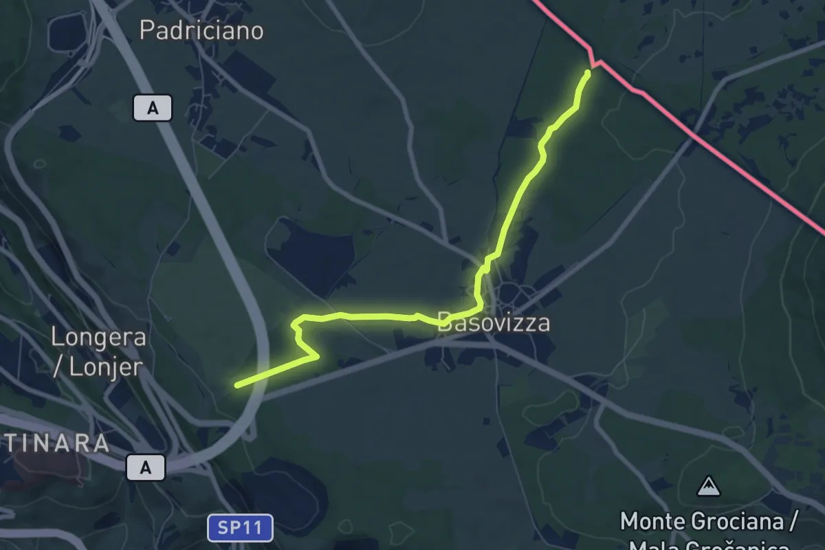
Easy · Trail
Sentiero Ressel
7.5 km · ↑ 48 m · 1 h 53 min · 12 km away
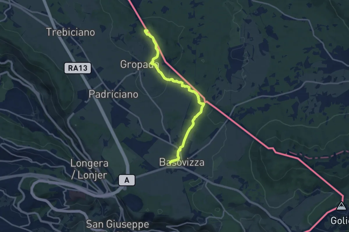
Medium · Summit
Repen – Basovizza / Bazovica
10.5 km · ↑ 131 m · 2 h 46 min · 12 km away
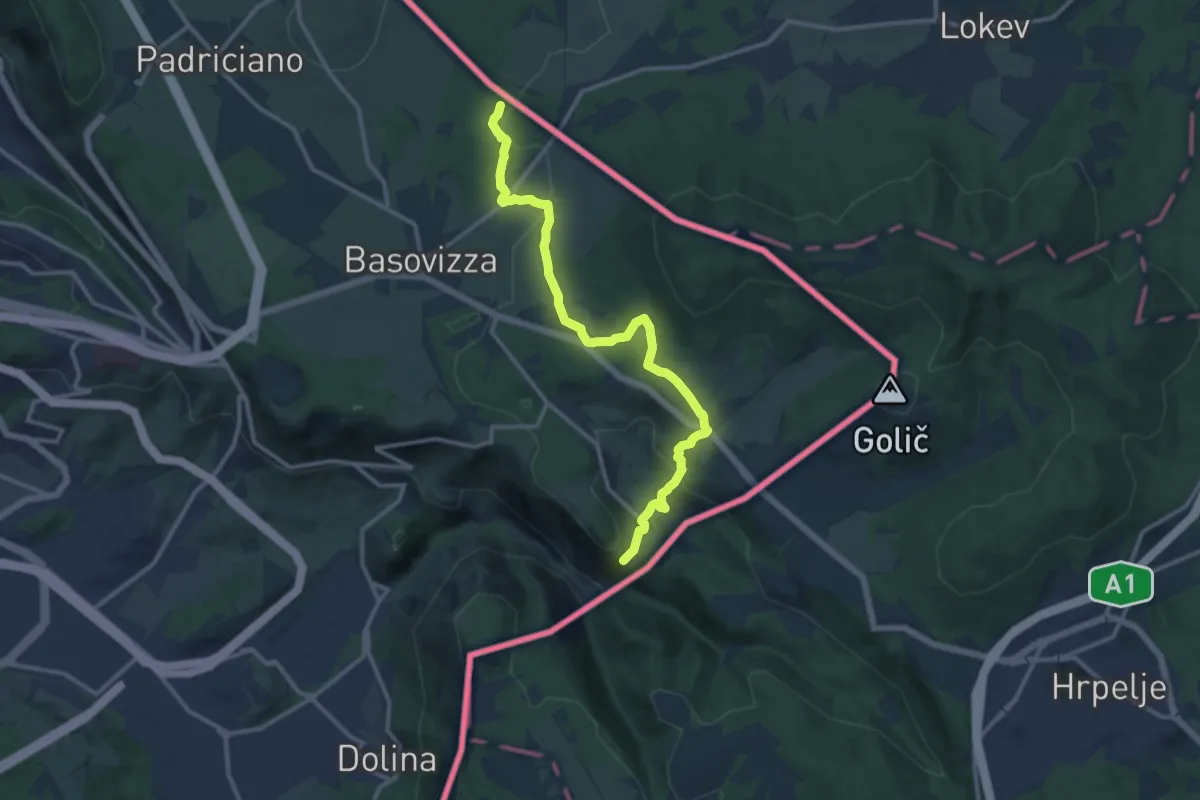
Medium · Trail
Pese inizio sentiero n. 003 (quota 490 m) – Monte Stena – Bivio sentiero n. 001 (quota 354 m)
13.0 km · ↑ 359 m · 3 h 51 min · 12 km away
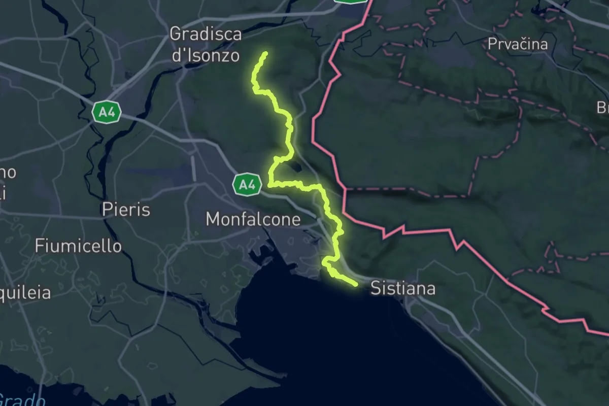
Demanding · Summit
Alpe Adria Trail E33
45.2 km · ↑ 1070 m · 13 h · 12 km away
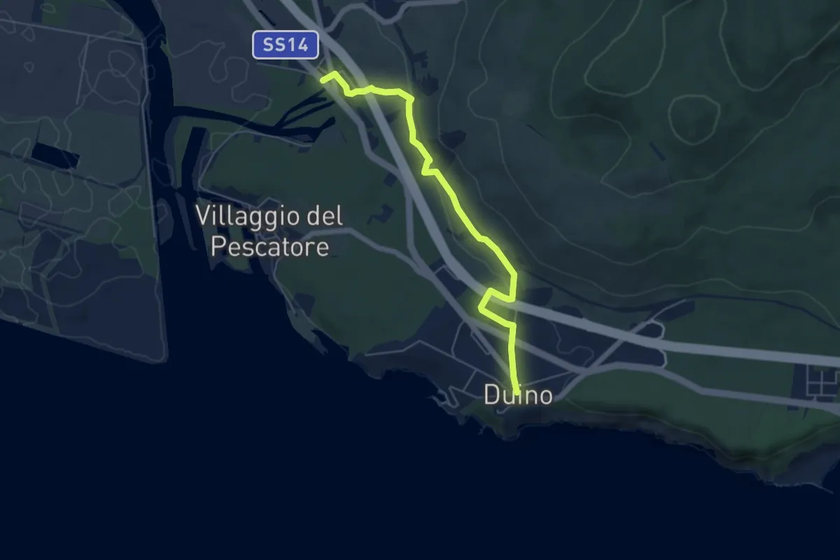
Medium · Trail
Sentiero del Mitreo
5.4 km · ↑ 135 m · 1 h 35 min · 12 km away
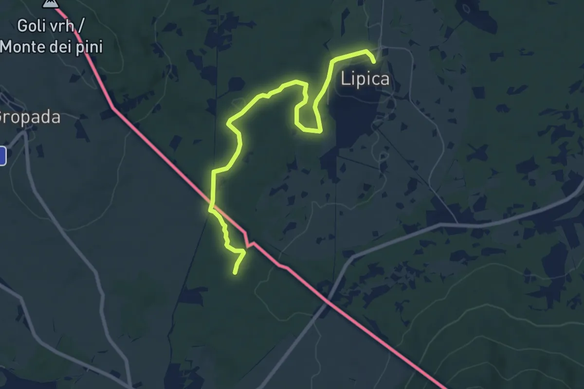
Easy · Trail
Alpe Adria Trail E35
7.5 km · ↑ 43 m · 1 h 51 min · 12 km away
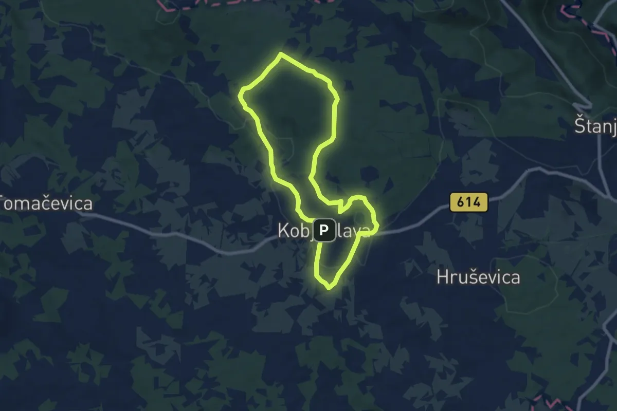
Easy · Trail
Pot devetih kalov
6.4 km · ↑ 99 m · 1 h 49 min · 13 km away
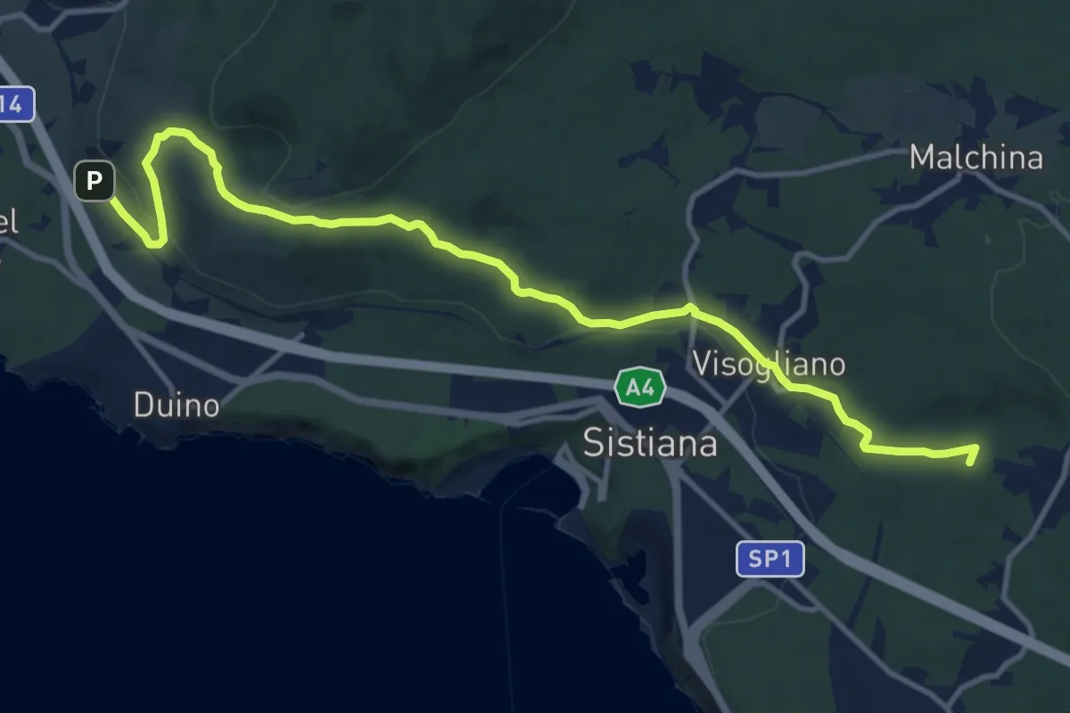
Medium · Summit
Bivio sentiero n. 001a (quota 60 m) – Bivio sentiero n. 032 (quota 180 m)
13.1 km · ↑ 283 m · 3 h 42 min · 13 km away
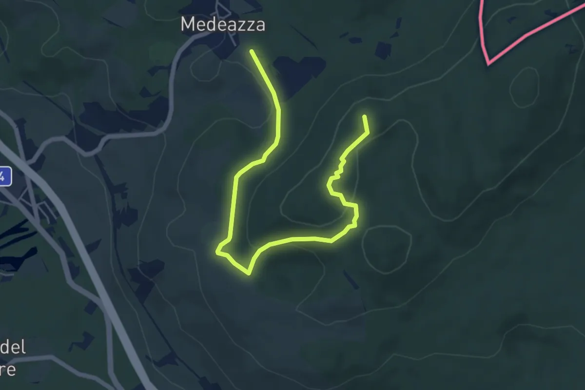
Easy · Summit
Medeazza / Medjevas (quota 160 m) – Bivio sentiero n. 003 (quota 250 m)
6.1 km · ↑ 181 m · 1 h 50 min · 14 km away
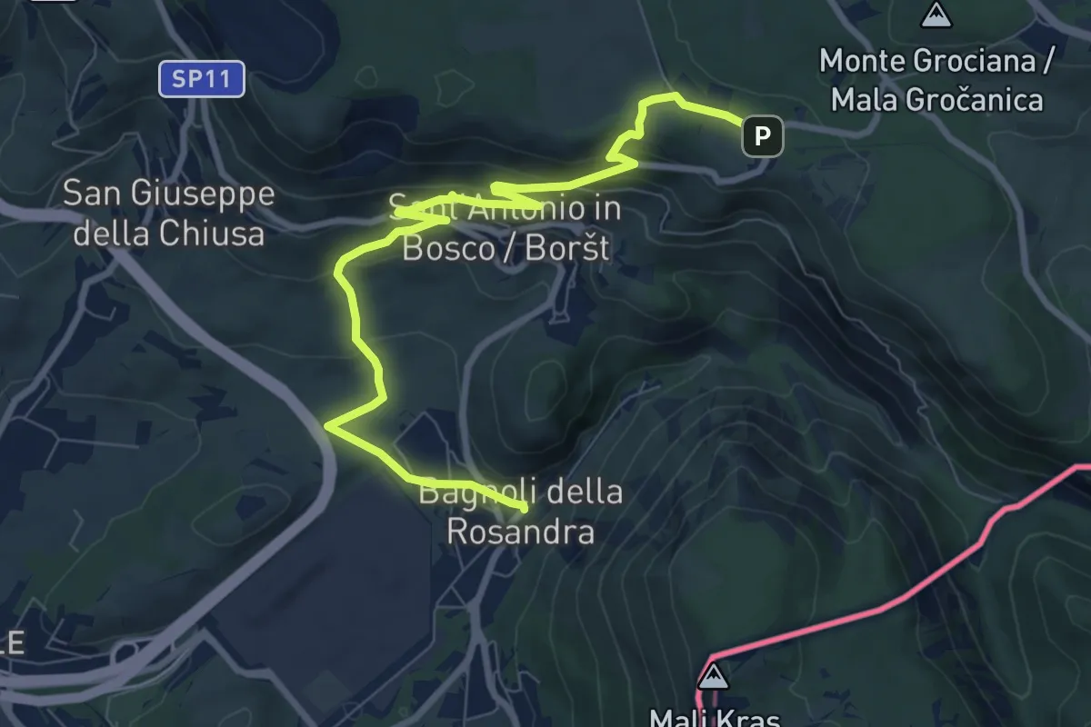
Medium · Trail
Sentiero Rose d'inverno
9.3 km · ↑ 342 m · 2 h 57 min · 14 km away
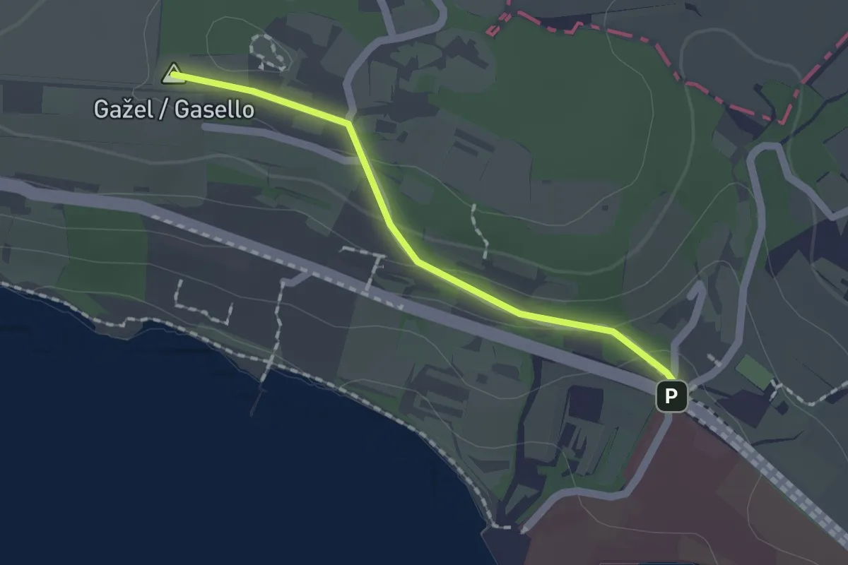
Easy · Summit
Debeli Rtič – Valdoltra
1.5 km · ↑ 43 m · 27 min · 14 km away
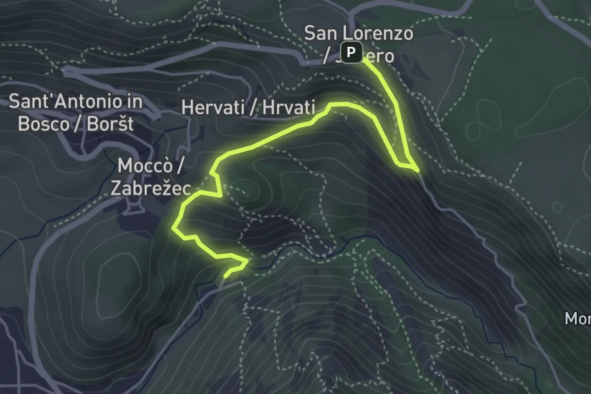
Medium · Cabin
Rifugio Premuda - bivio sentiero n. 1 – San Lorenzo / Jezero - bivio sentiero n. 1
4.6 km · ↑ 289 m · 1 h 42 min · 14 km away
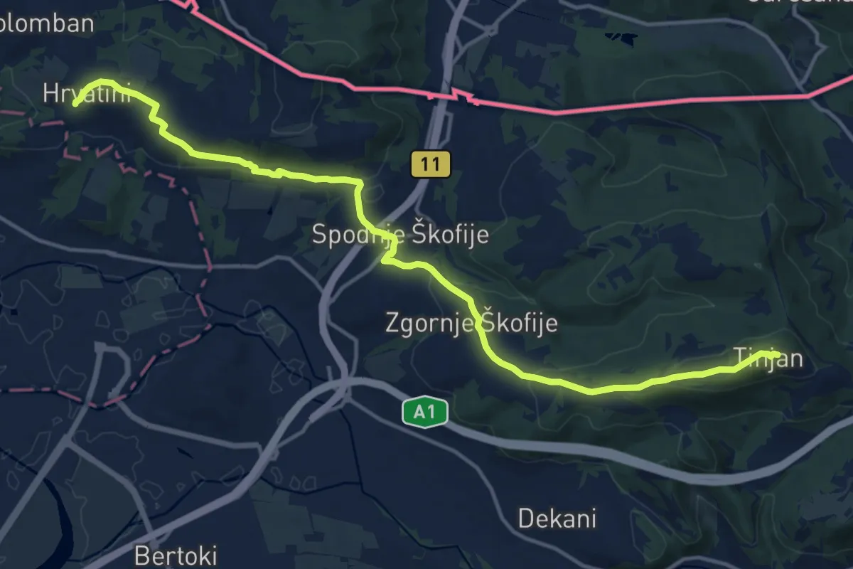
Medium · Summit
pohodniška pot Tinjan - Škofije - Hrvatini
16.5 km · ↑ 421 m · 4 h 49 min · 14 km away
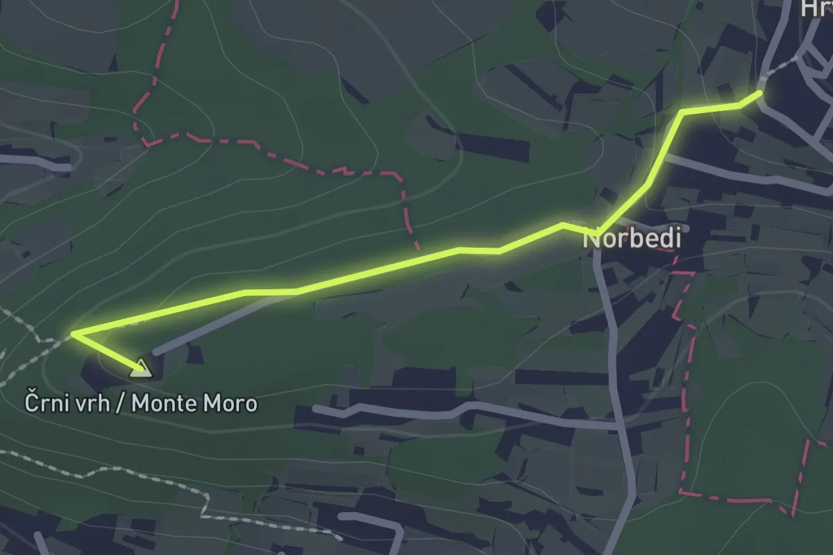
Easy · Summit
pohodniška pot Hrvatini - Ankaran
2.0 km · ↑ 69 m · 37 min · 14 km away
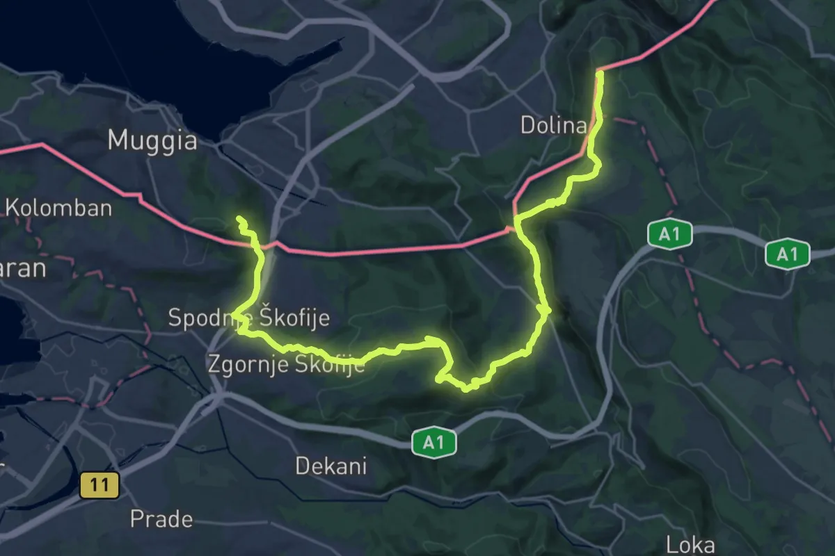
Demanding · Summit
Alpe Adria Trail E37
33.0 km · ↑ 1382 m · 10 h 47 min · 14 km away
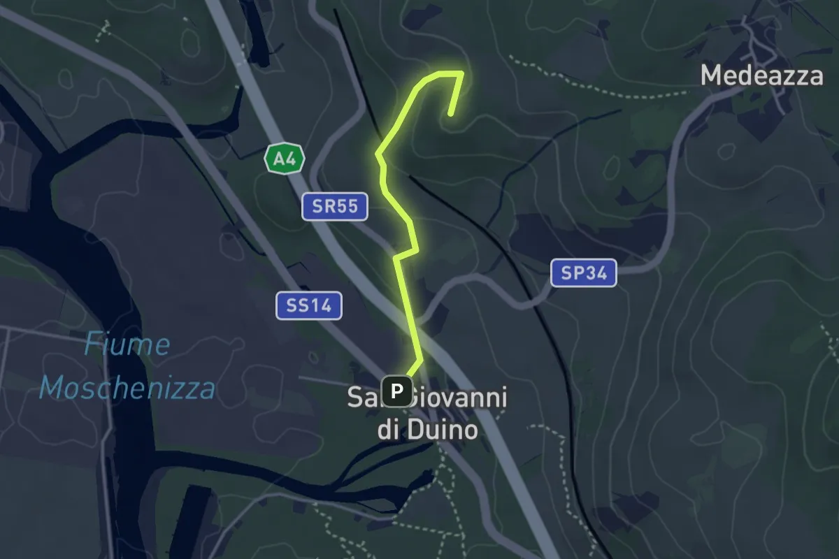
Easy · Summit
San Giovanni al Timavo / Štivan – Bivio sentiero n. 3
2.8 km · ↑ 85 m · 50 min · 14 km away
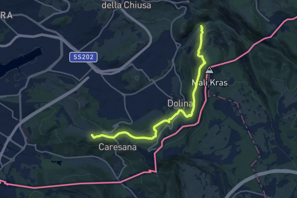
Medium · Summit
Via Alpina Stage 1: Muggia - Refugio Premuda
12.2 km · ↑ 788 m · 4 h 36 min · 14 km away
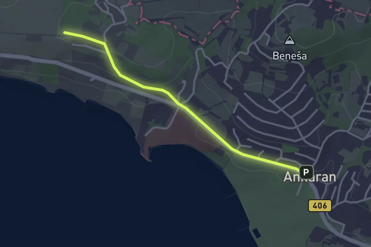
Easy · Summit
pohodniška pot Ankaran - Debeli rtič
3.1 km · ↑ 44 m · 49 min · 14 km away
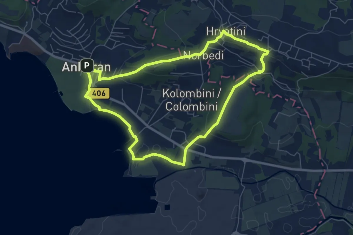
Easy · Summit
Beblerjeva pot
6.2 km · ↑ 161 m · 1 h 54 min · 14 km away
Easy · Trail
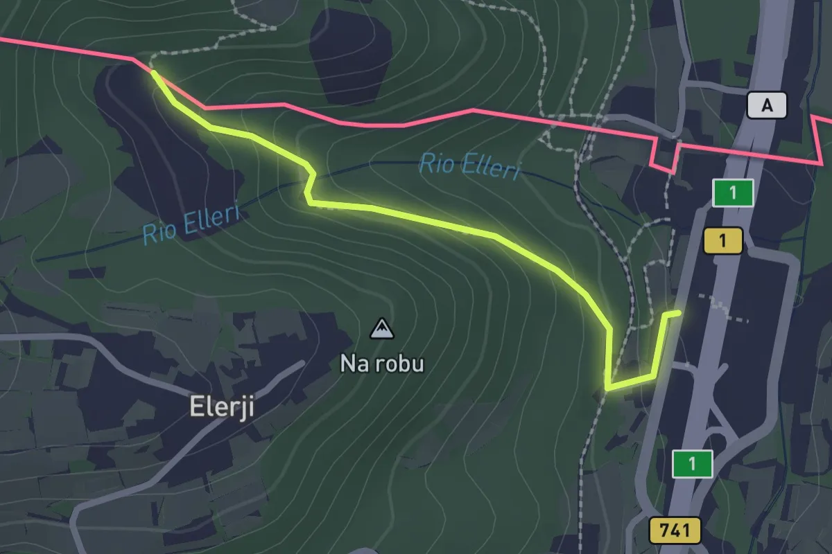
Sentiero dei Graničari - Ivan Jug
2.2 km · ↑ 122 m · 47 min · 14 km away
Medium · Trail
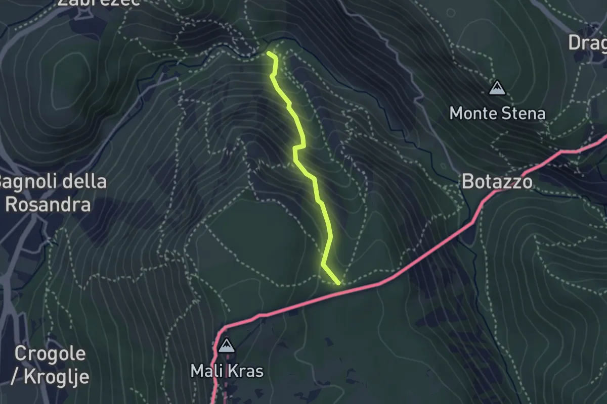
Rio del Crinale - bivio sentiero n. 1 – Sella di Monte Carso - bivio sentiero n. 25
2.3 km · ↑ 296 m · 1 h 11 min · 15 km away
Demanding · Summit
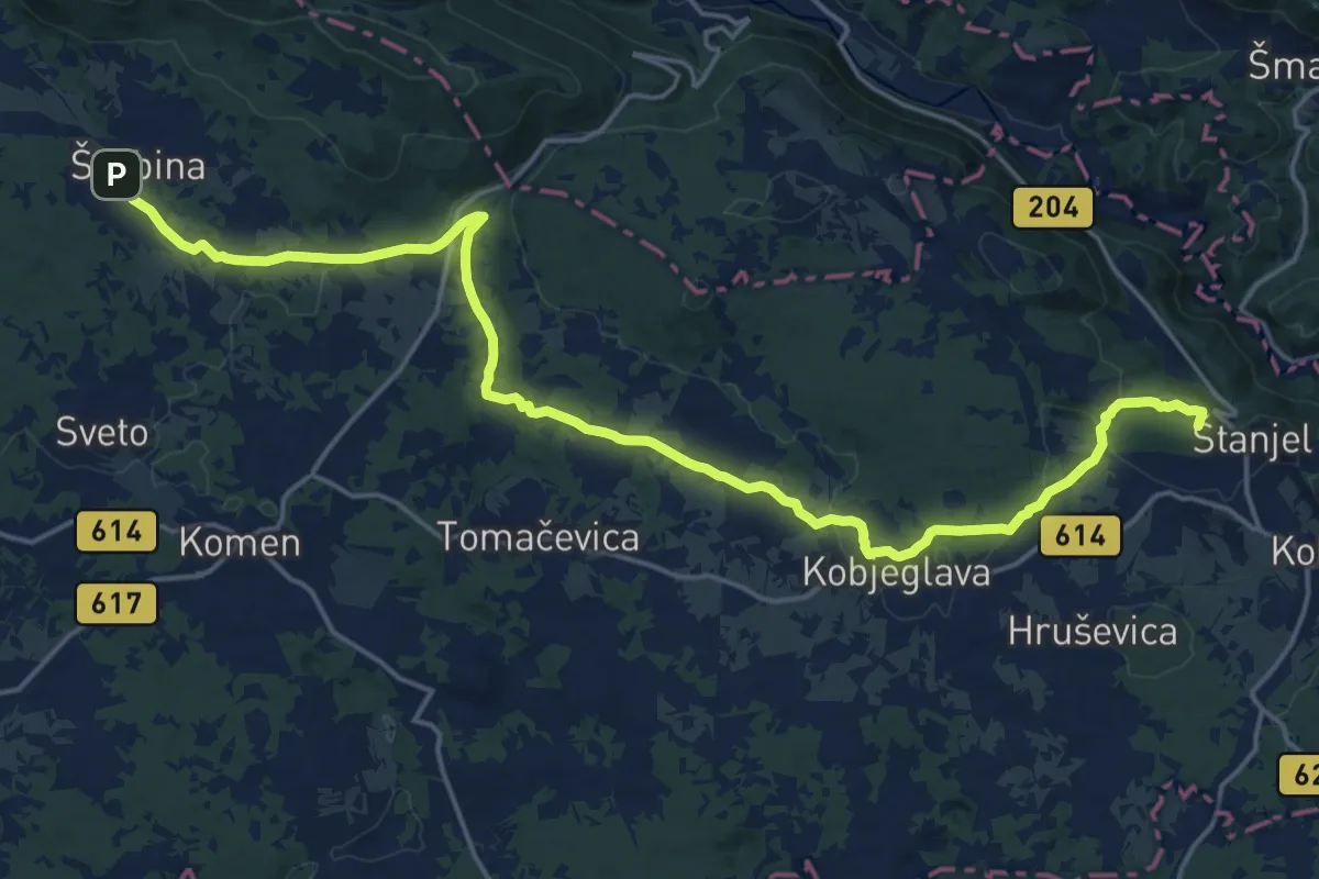
Spacalova pot
22.8 km · ↑ 365 m · 6 h 10 min · 15 km away
Medium · Summit
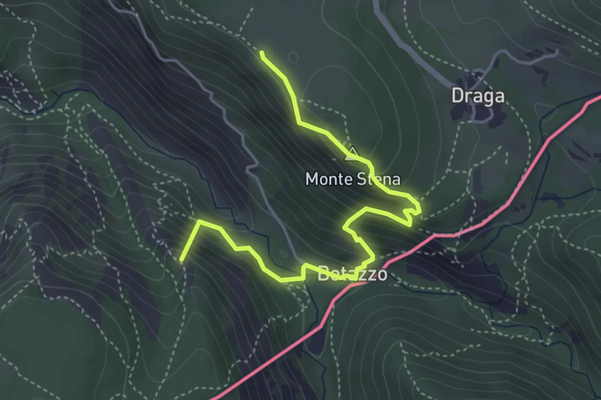
Basovizza – Centro visite Val Rosandra
4.5 km · ↑ 354 m · 1 h 49 min · 15 km away
Medium · Summit
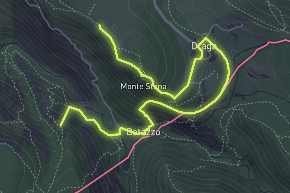
Sentiero di forma circolare de Val Rosandra
7.0 km · ↑ 378 m · 2 h 28 min · 15 km away
Medium · Summit
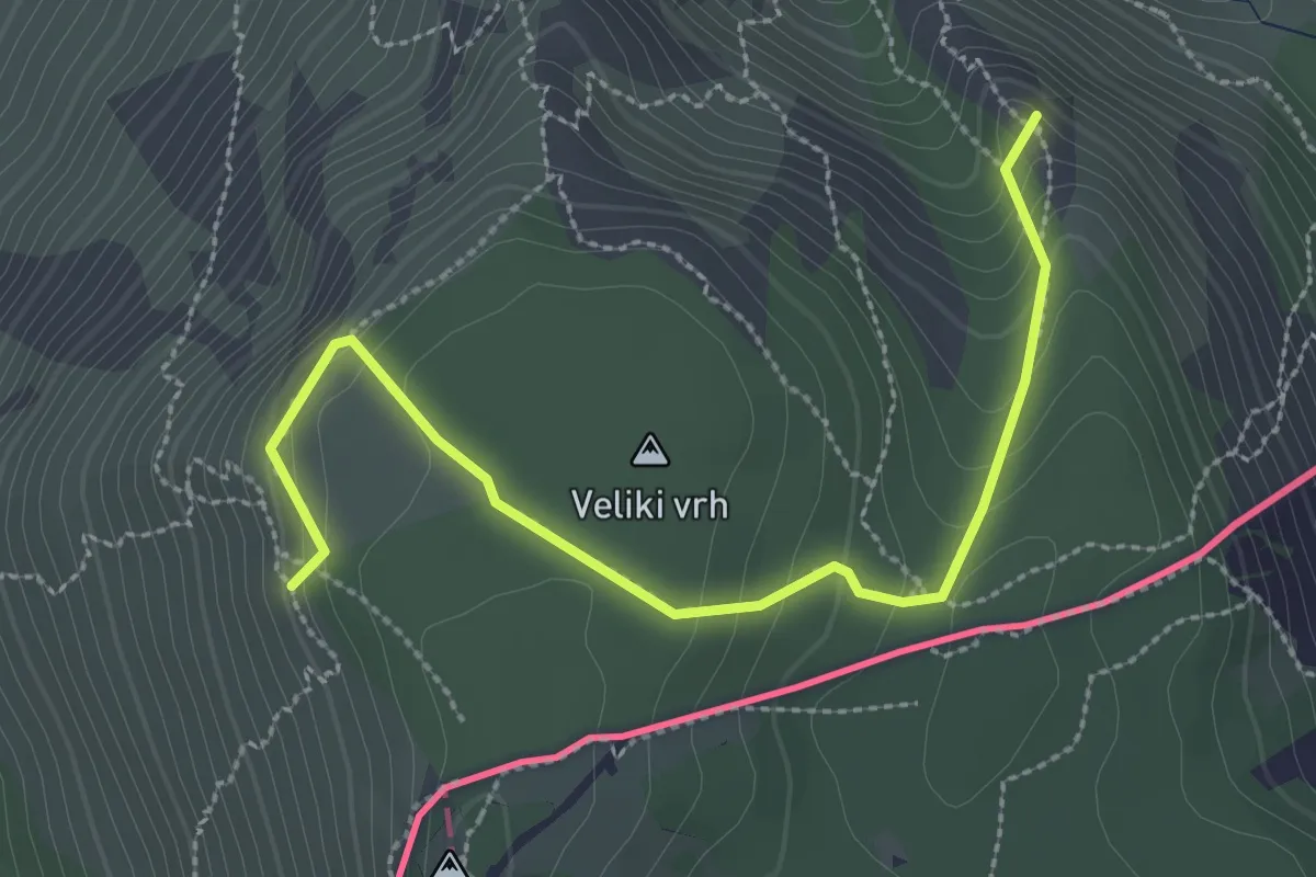
Rio del Crinale – Bivio sentiero n. 001 (quota 115 m) – Monte Carso – Bivio sentiero n. 001 (quota 410 m)
3.1 km · ↑ 229 m · 1 h 14 min · 15 km away