Trails near Quero
63 hikes starting within 15 km, nearest first.
Nearest first, page 2 of 2
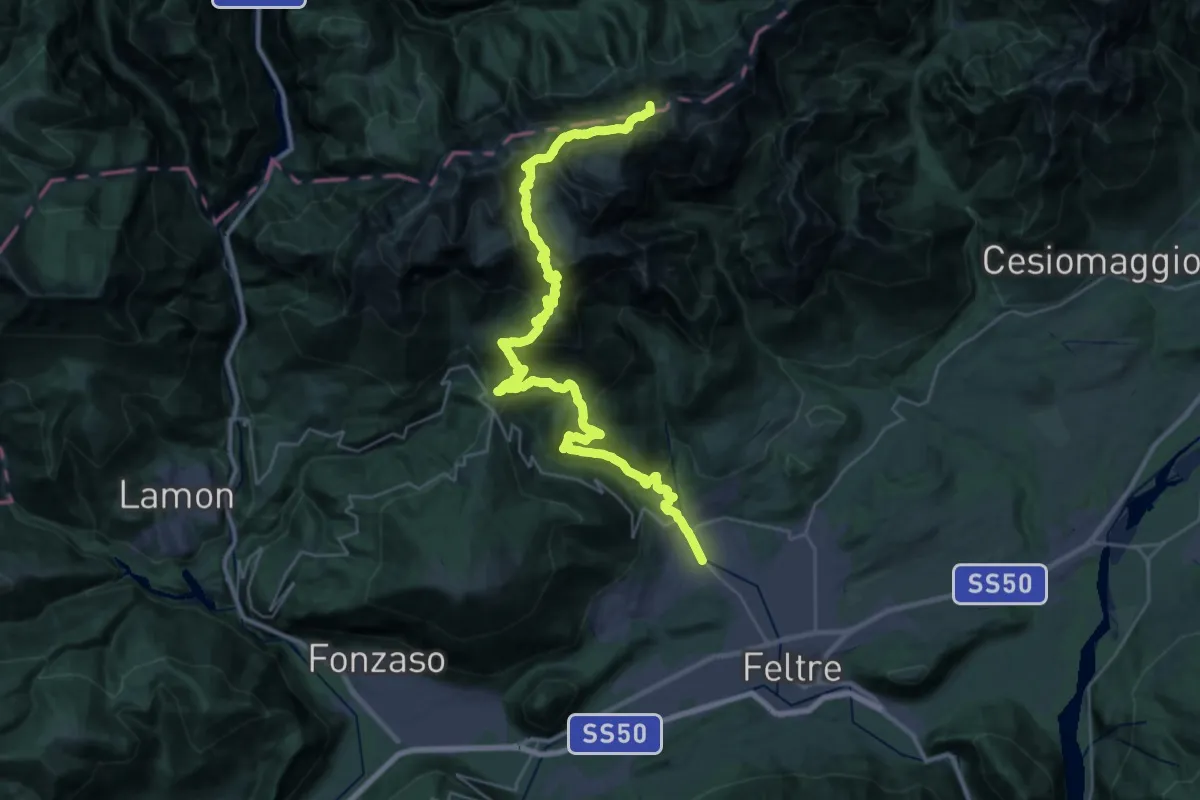
Expert · Summit
Pedavena Feltre – Passo Comedon - Confine Regione
37.8 km · ↑ 2687 m · 14 h 45 min · 13 km away
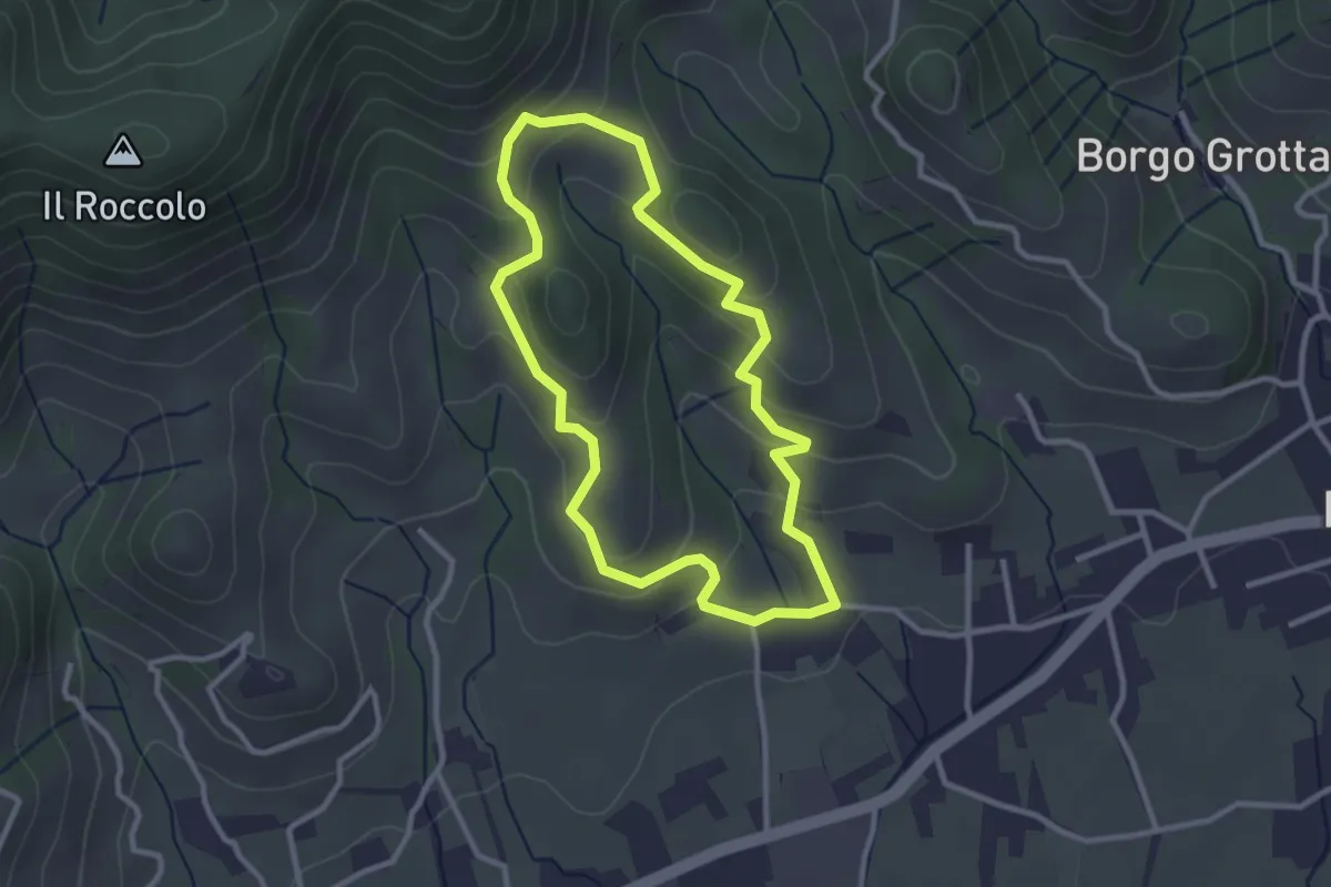
Easy · Trail
La Biodiversità
2.7 km · ↑ 152 m · 1 h 1 min · 14 km away
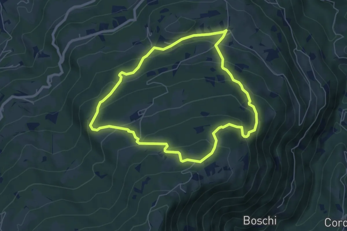
Easy · Trail
sentiero natura San Gervasio e Pian de Coltura
5.6 km · ↑ 315 m · 2 h 5 min · 14 km away
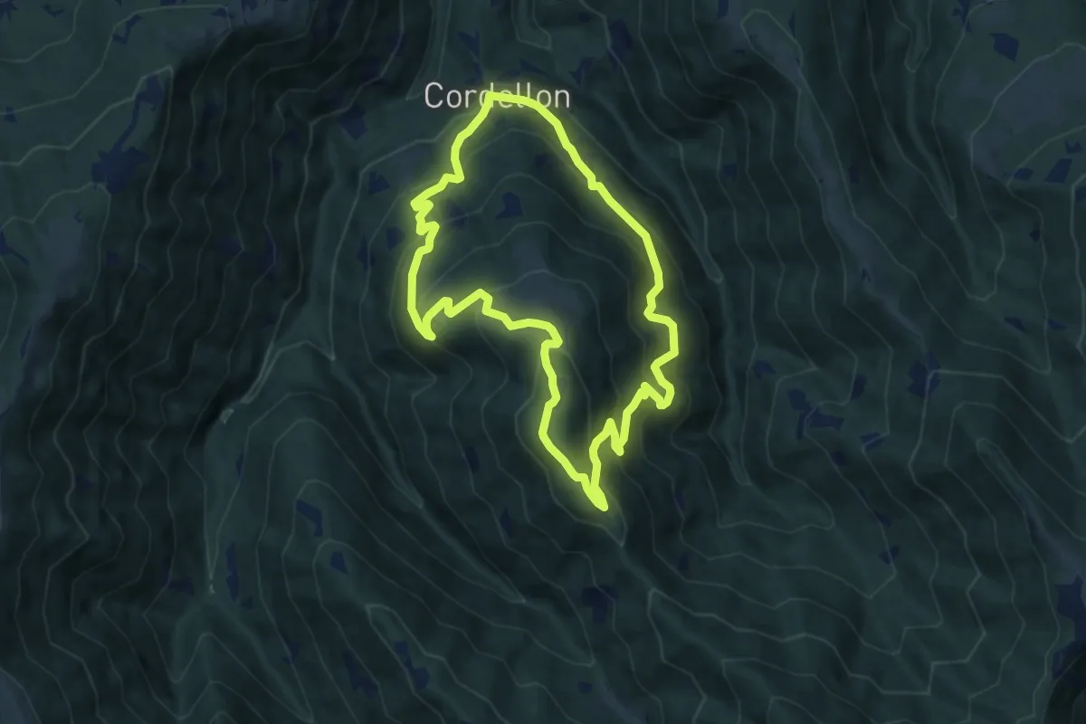
Medium · Summit
Cordellon – Cordellon
8.3 km · ↑ 644 m · 3 h 28 min · 14 km away
Easy · Trail
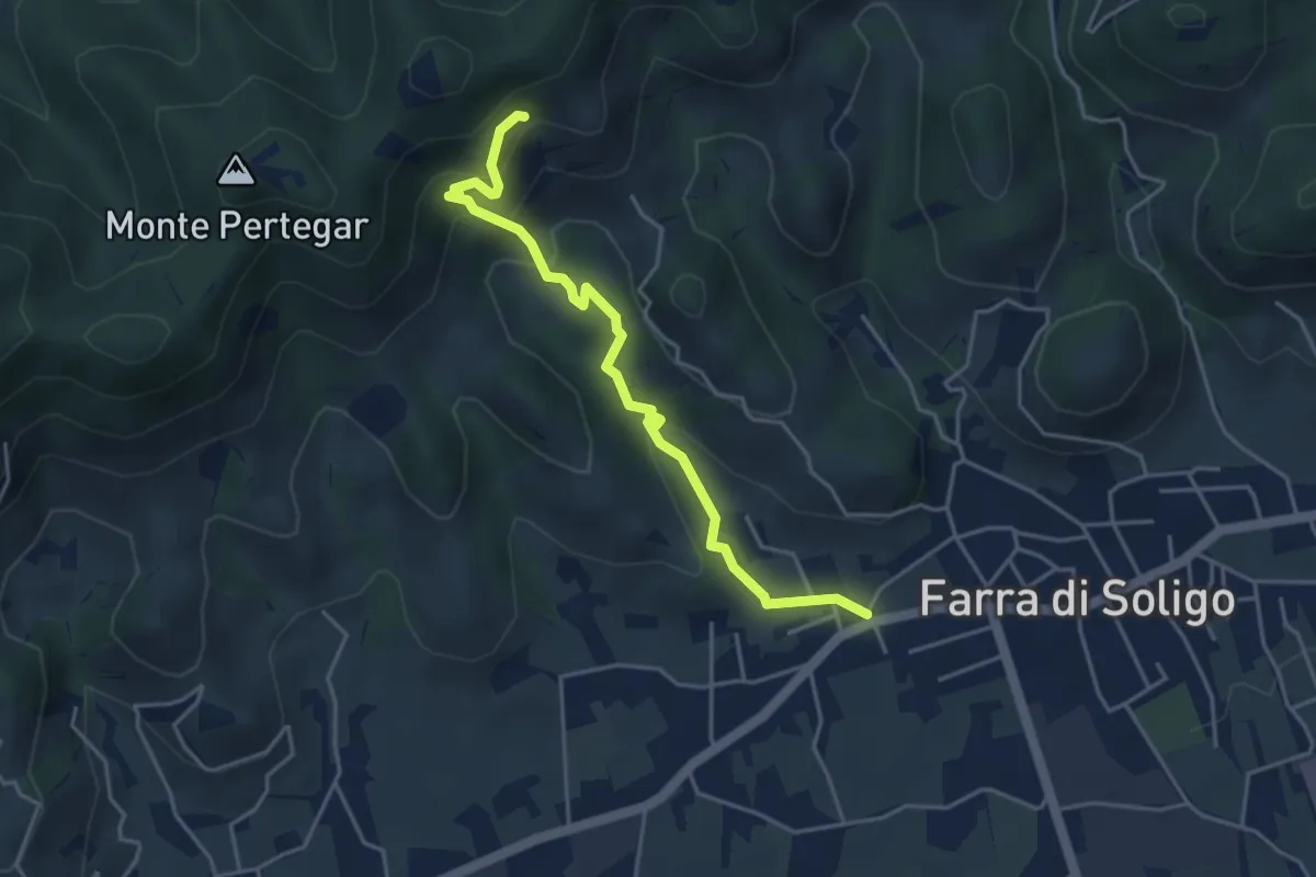
Gor della Cuna
4.3 km · ↑ 261 m · 1 h 35 min · 14 km away
Medium · Trail
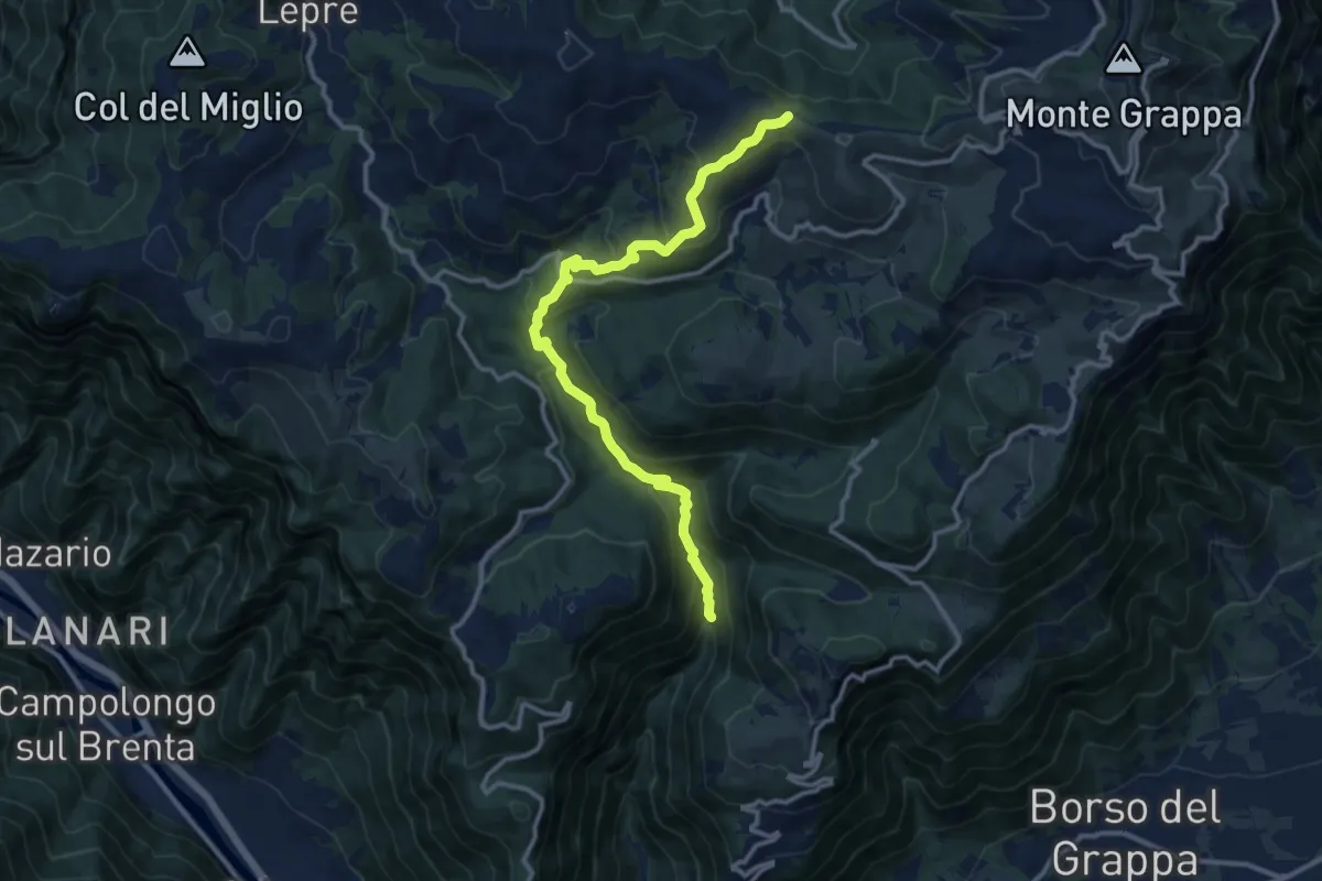
Alta Valle di Santa Felicita - da sent. 180 – Croce del Termine (quota 1451m)
12.5 km · ↑ 797 m · 4 h 41 min · 14 km away
Demanding · Summit
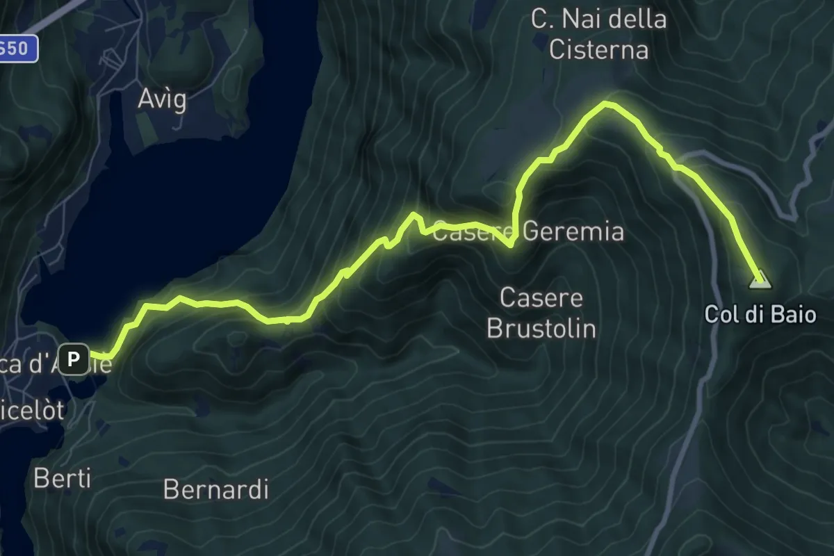
Rocca di Arsiè – Col del Baio
10.3 km · ↑ 1081 m · 4 h 47 min · 14 km away
Medium · Trail
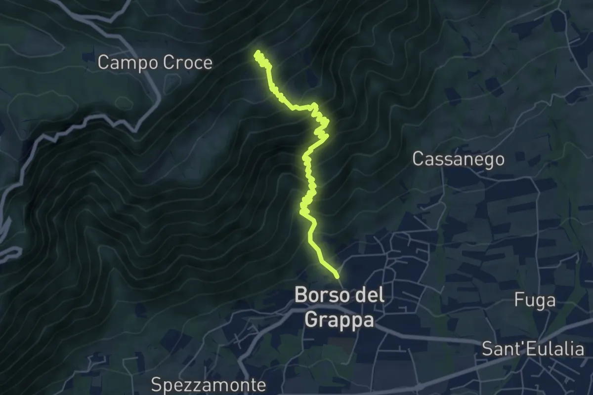
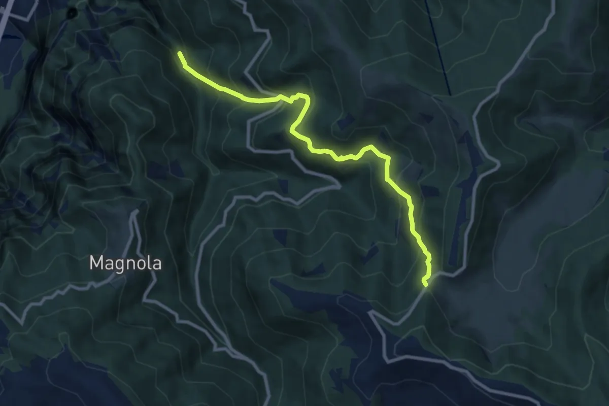
nei pressi della Chiesa – Casera de Usea - innesto sentiero 102
6.4 km · ↑ 695 m · 3 h 1 min · 14 km away
Medium · Trail
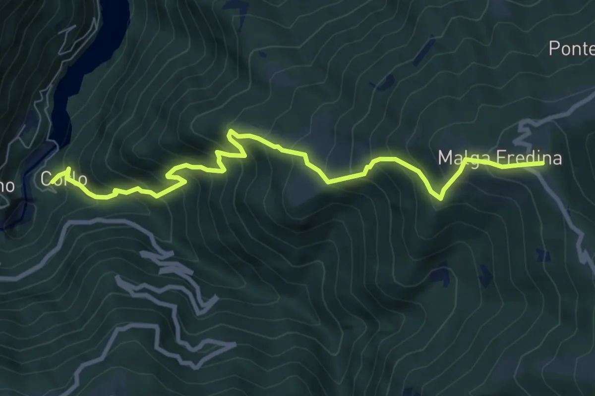
Cismon del Grappa - Faghèr - da sent. 920 – Forcelletto - inn. sent. 910
8.2 km · ↑ 748 m · 3 h 33 min · 14 km away
Demanding · Summit
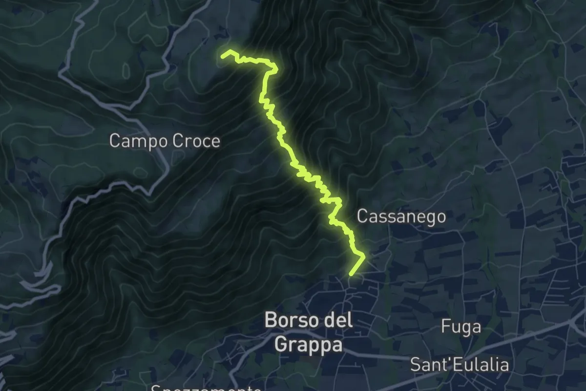
Corlo – Monte Fredina
8.2 km · ↑ 960 m · 4 h 1 min · 14 km away
Demanding · Summit
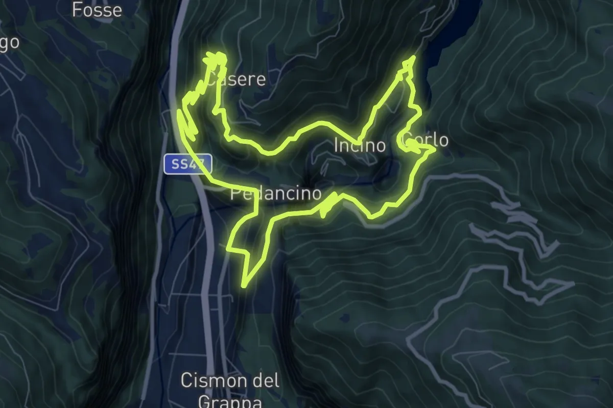
località Rore – sotto Monte Legnarola - innesto sentiero 100
8.2 km · ↑ 1042 m · 4 h 11 min · 14 km away
Demanding · Trail
Trodoi Trails 7
9.5 km · ↑ 1226 m · 5 h 1 min · 15 km away
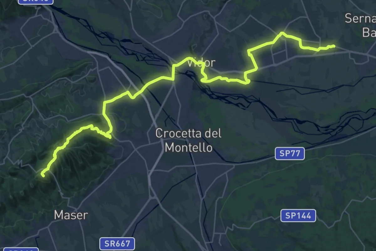
Demanding · Summit
Cammino del Beato Claudio 02
39.3 km · ↑ 734 m · 10 h 52 min · 15 km away
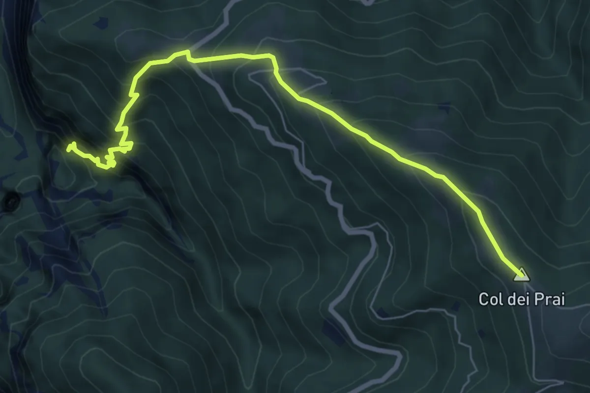
Demanding · Summit
Col dei Prai
7.1 km · ↑ 884 m · 3 h 35 min · 15 km away
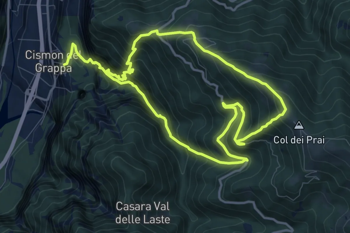
Demanding · Summit
Trodoi Trail 20
8.9 km · ↑ 976 m · 4 h 22 min · 15 km away