Trails near Randazzo
64 hikes starting within 15 km, nearest first.
Nearest first, page 1 of 2
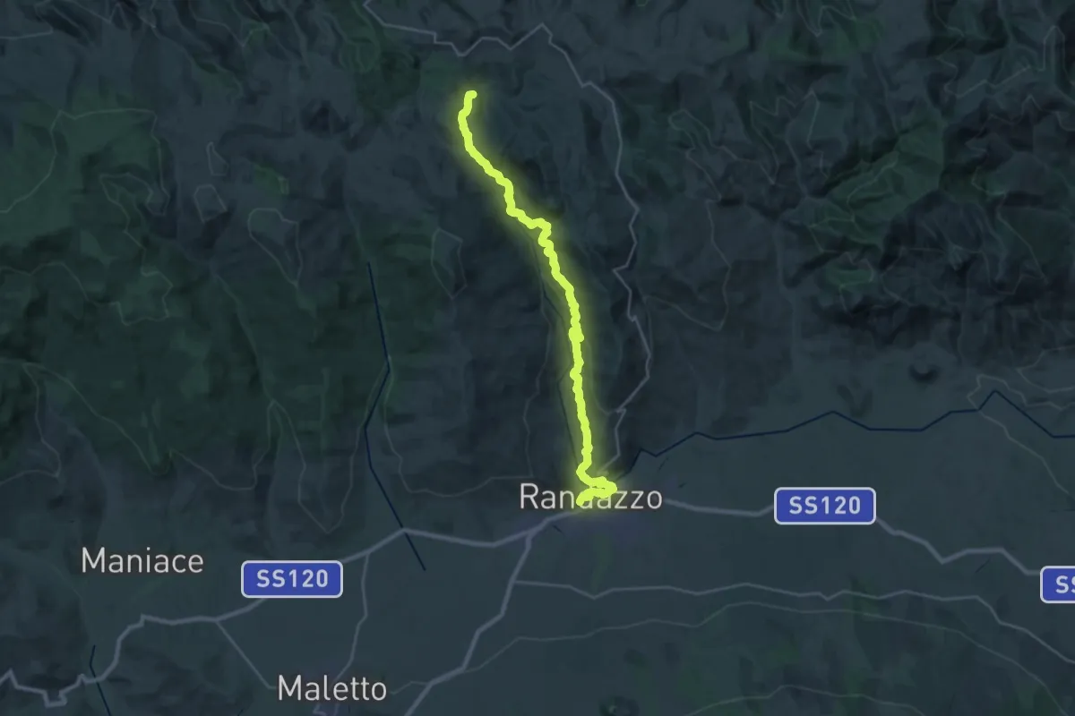
Medium · Summit
Via Normanna - Tappa 14
16.2 km · ↑ 696 m · 5 h 20 min · under 1 km away
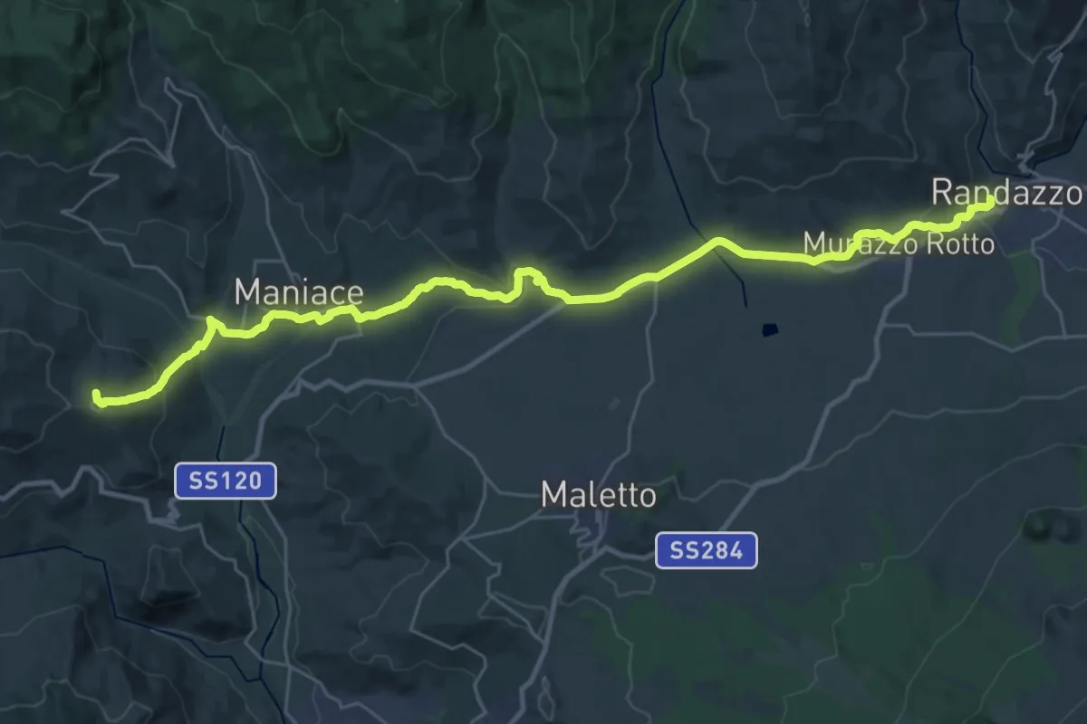
Demanding · Summit
Via Normanna - Tappa 13
19.0 km · ↑ 495 m · 5 h 42 min · under 1 km away
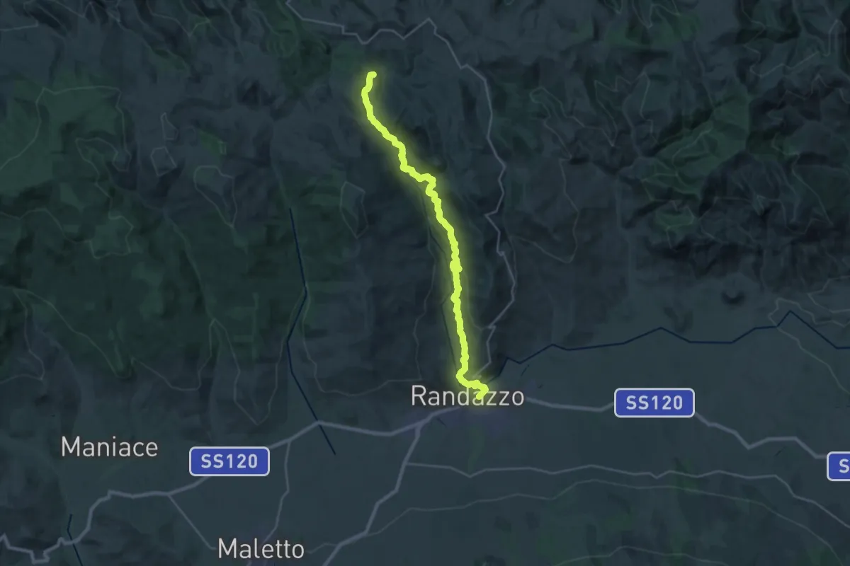
Demanding · Summit
Randazzo – Floresta
30.3 km · ↑ 975 m · 9 h 17 min · under 1 km away
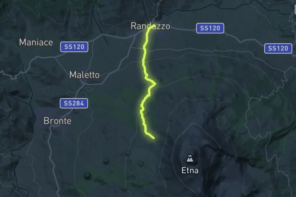
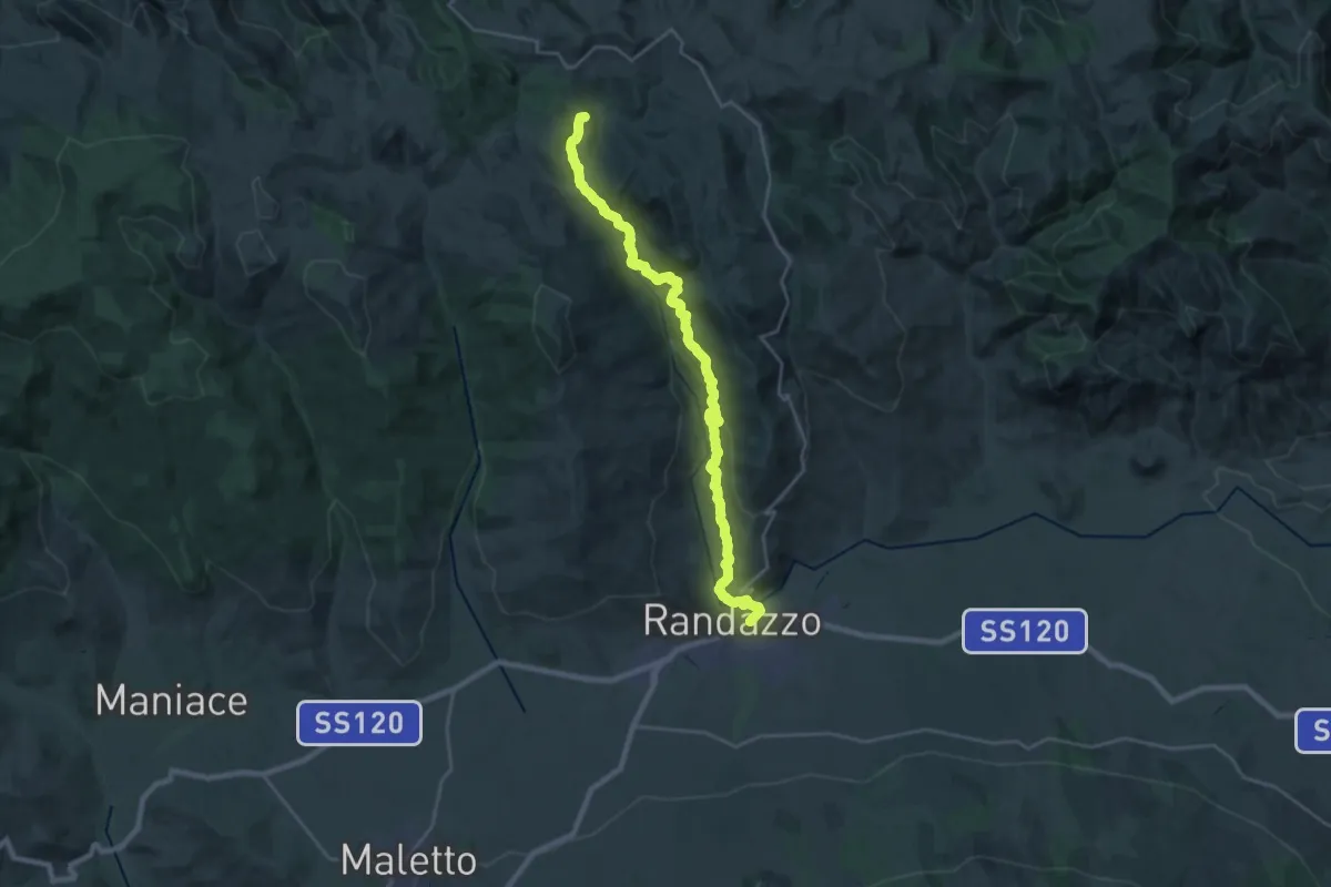
Demanding · Cabin
Randazzo – Bivacco Forestale di Monte Scavo
15.3 km · ↑ 1003 m · 5 h 32 min · under 1 km away
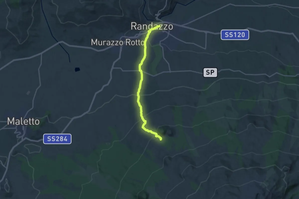
Demanding · Summit
Floresta – Randazzo
30.3 km · ↑ 975 m · 9 h 17 min · under 1 km away
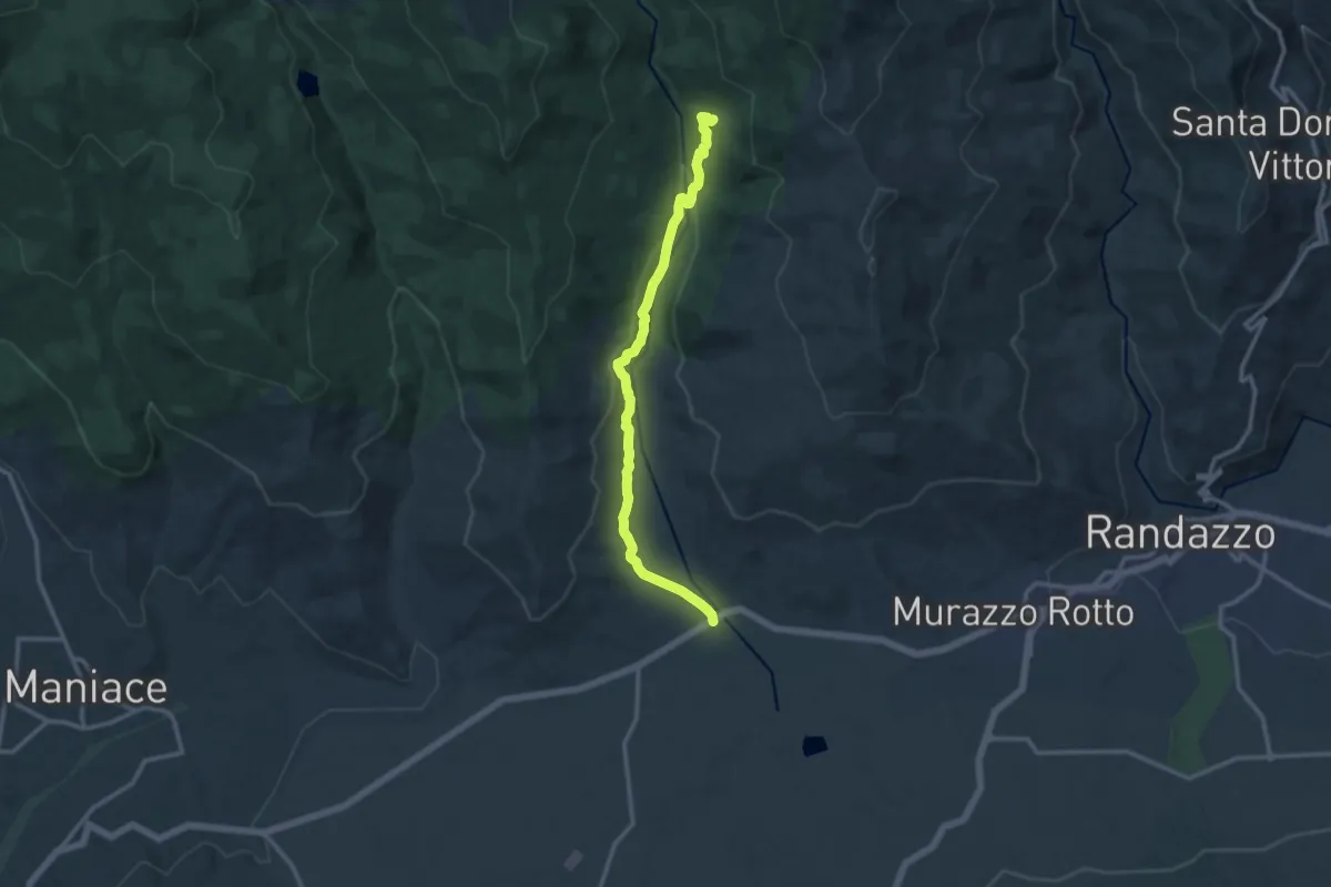
Medium · Trail
Randazzo – Monte Spagnolo
15.7 km · ↑ 700 m · 5 h 13 min · under 1 km away
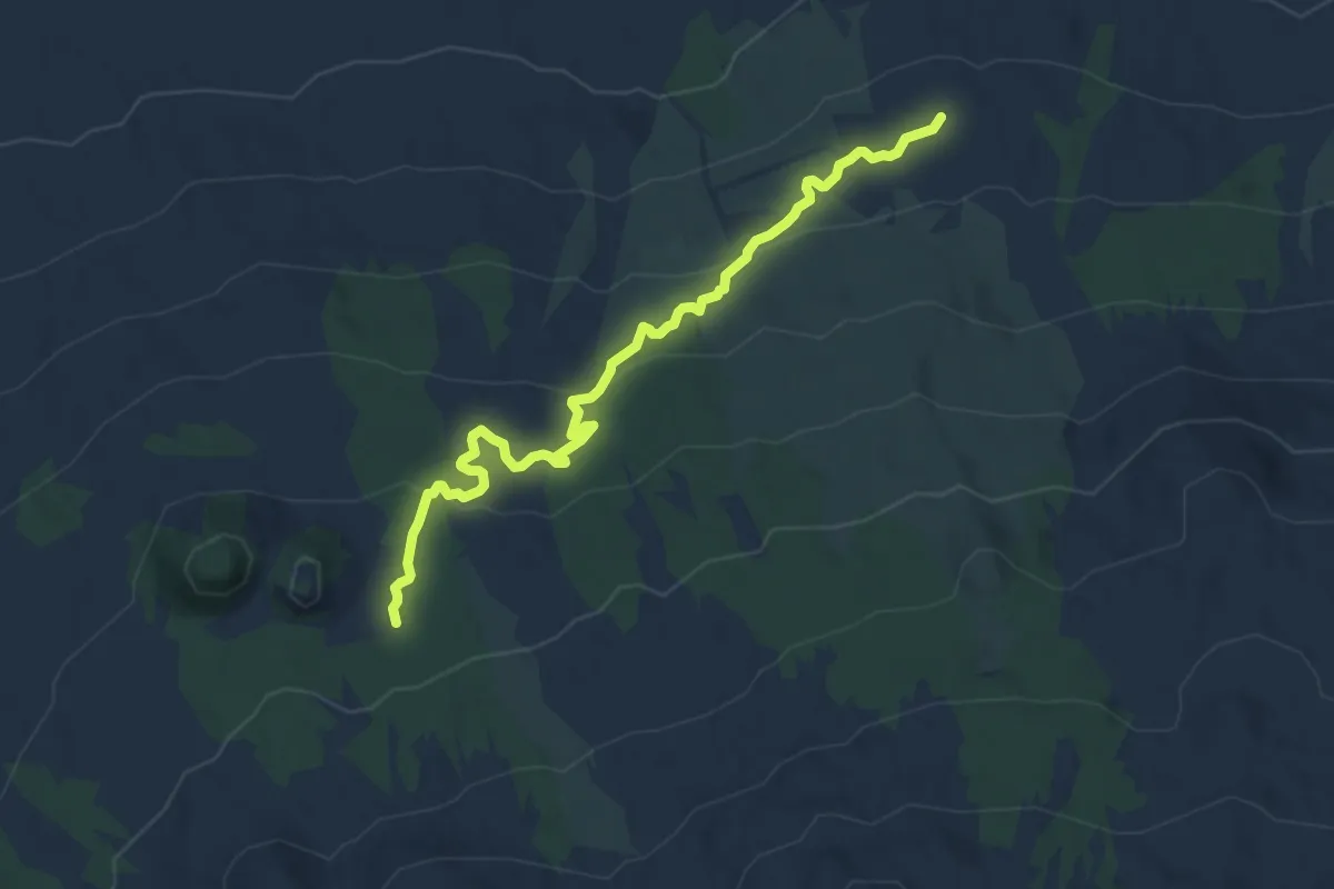
Medium · Trail
Caserma Zerbata
13.9 km · ↑ 289 m · 3 h 55 min · 5 km away
Medium · Cabin
Case Pirao Pista Altomontana
10.3 km · ↑ 397 m · 3 h 18 min · 5 km away
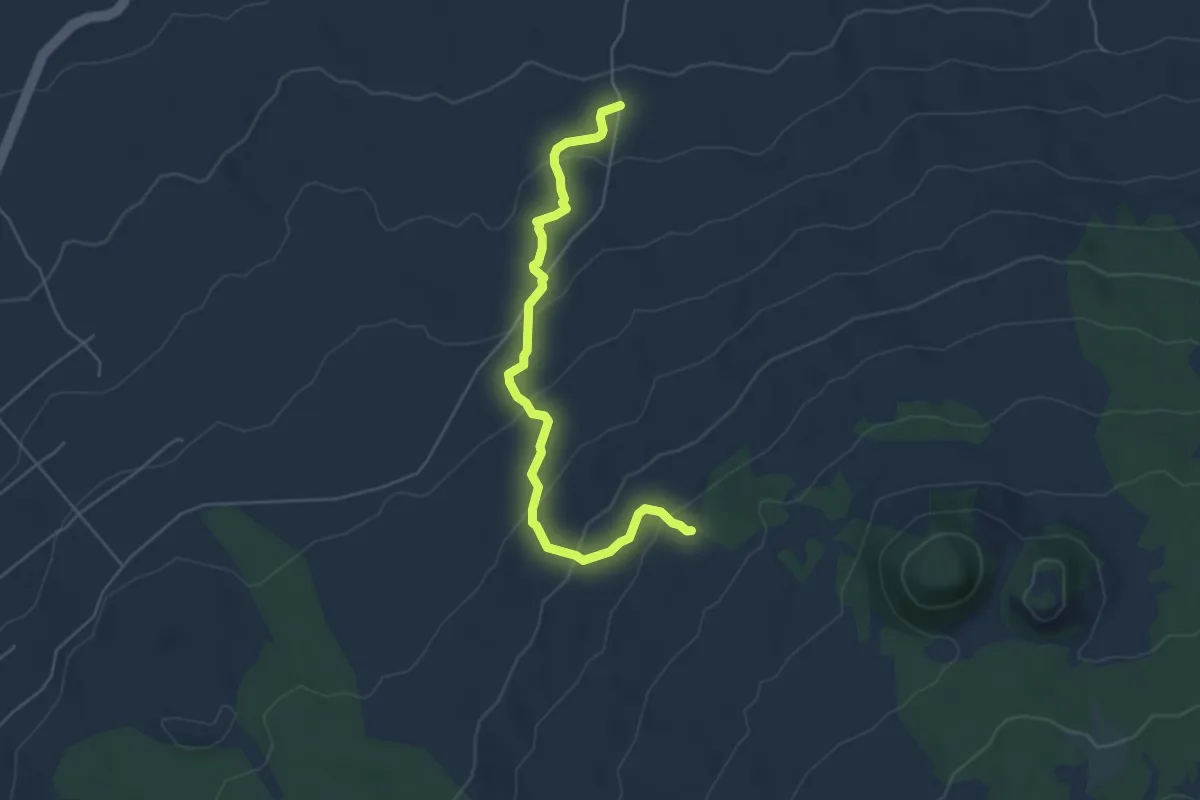
Easy · Trail
Sentiero della Grotta del Burrò
6.0 km · ↑ 315 m · 2 h 6 min · 6 km away
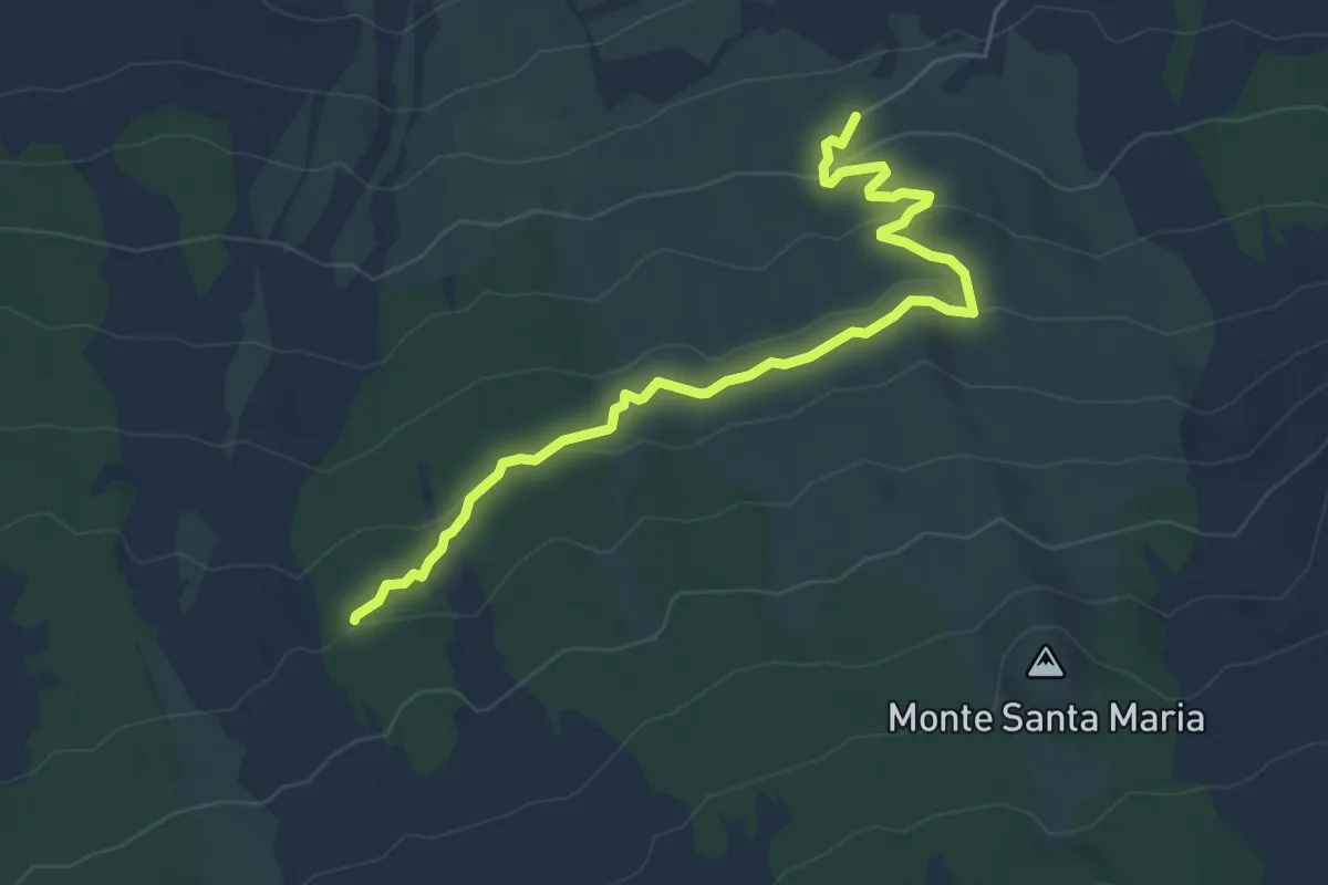
Demanding · Trail
Case Caldarera - Cisternazza - Pista Altomontana
6.9 km · ↑ 217 m · 2 h 5 min · 6 km away
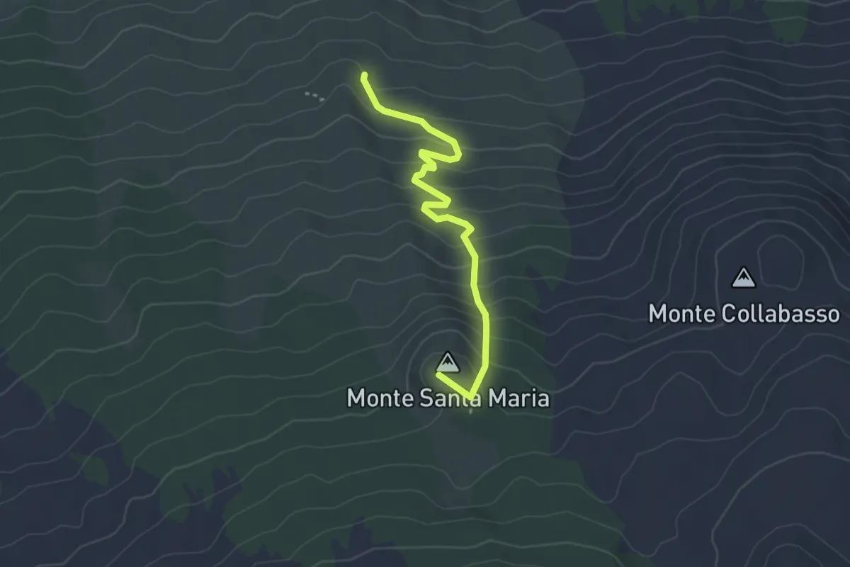
Easy · Summit
Sentiero Rifugio di Santa Maria
3.9 km · ↑ 270 m · 1 h 30 min · 6 km away
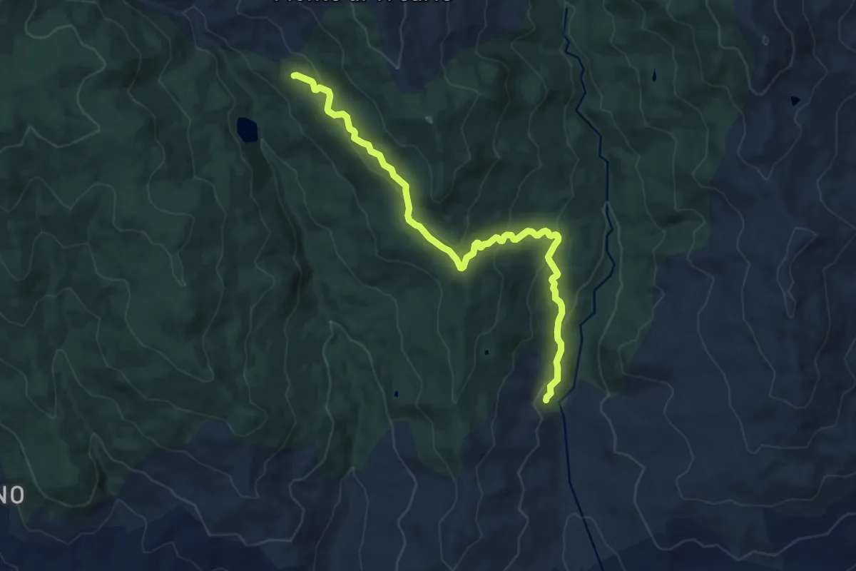
Medium · Cabin
Caserma Forestale Camisa
14.0 km · ↑ 488 m · 4 h 22 min · 7 km away
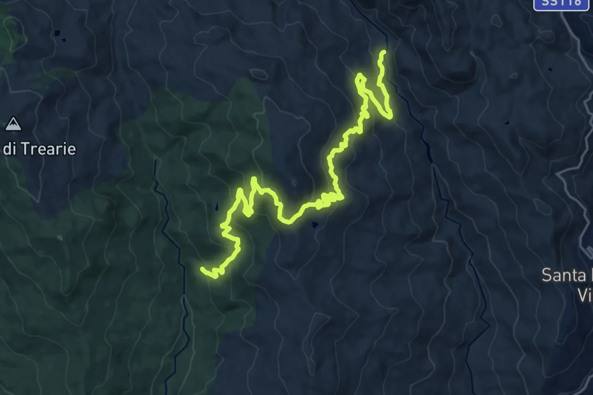
Demanding · Trail
D313 Masseria Colla
23.6 km · ↑ 1083 m · 7 h 54 min · 7 km away
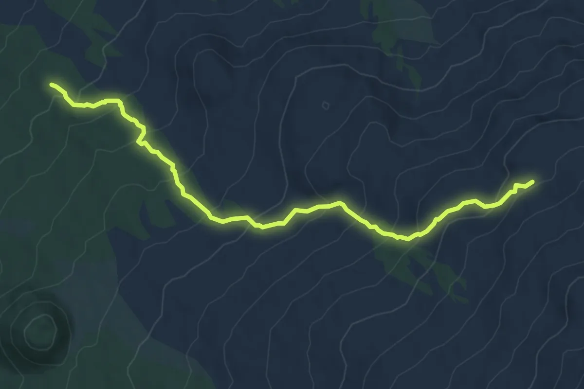
Medium · Trail
Rifugio Monte La Nave - Grotta del Gelo
9.4 km · ↑ 588 m · 3 h 30 min · 7 km away
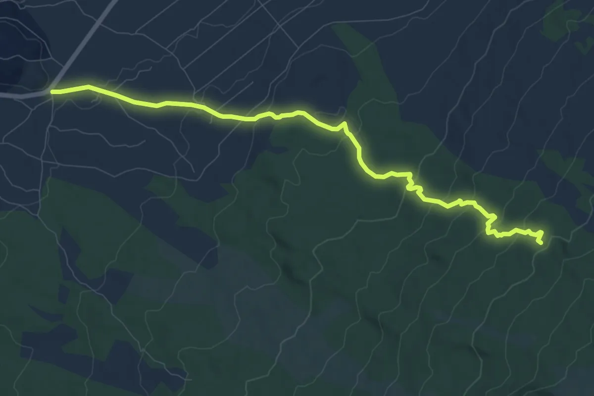
Medium · Trail
Monte La Nave Pista Altomontana
12.0 km · ↑ 445 m · 3 h 48 min · 8 km away
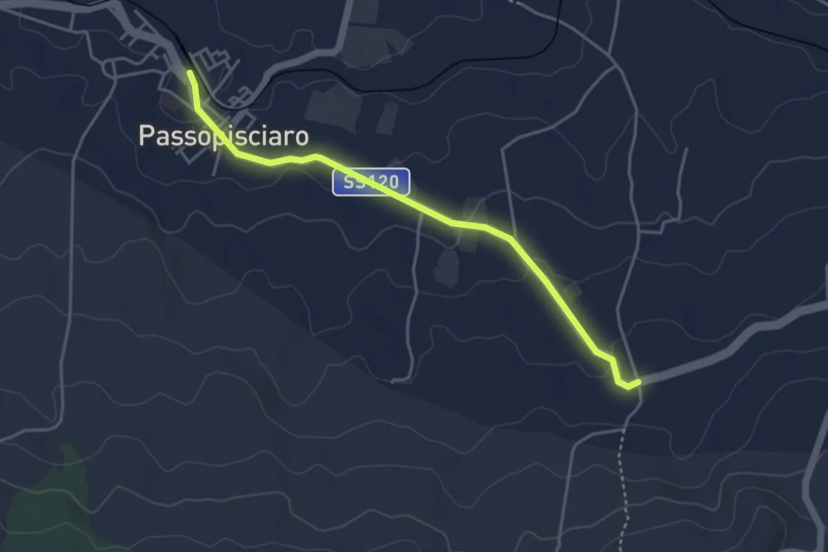
Easy · Trail
da Stazione FCE Passopisciarp al SentieroItalia
4.2 km · ↑ 89 m · 1 h 12 min · 8 km away
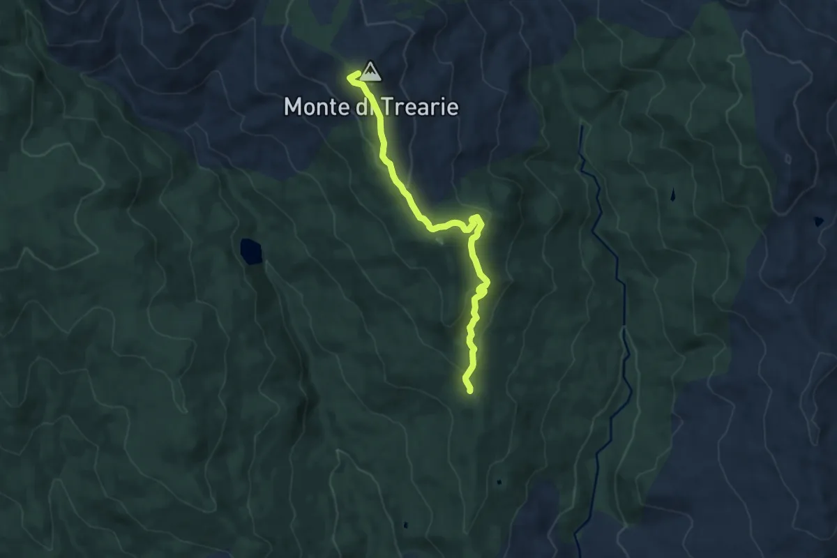
Medium · Summit
Monte Trearie
10.2 km · ↑ 382 m · 3 h 14 min · 8 km away
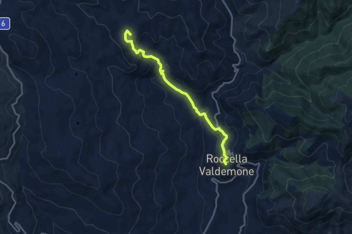
Medium · Summit
Sentiero Roccella Cascata Angara Palazzolo
8.6 km · ↑ 409 m · 2 h 55 min · 8 km away
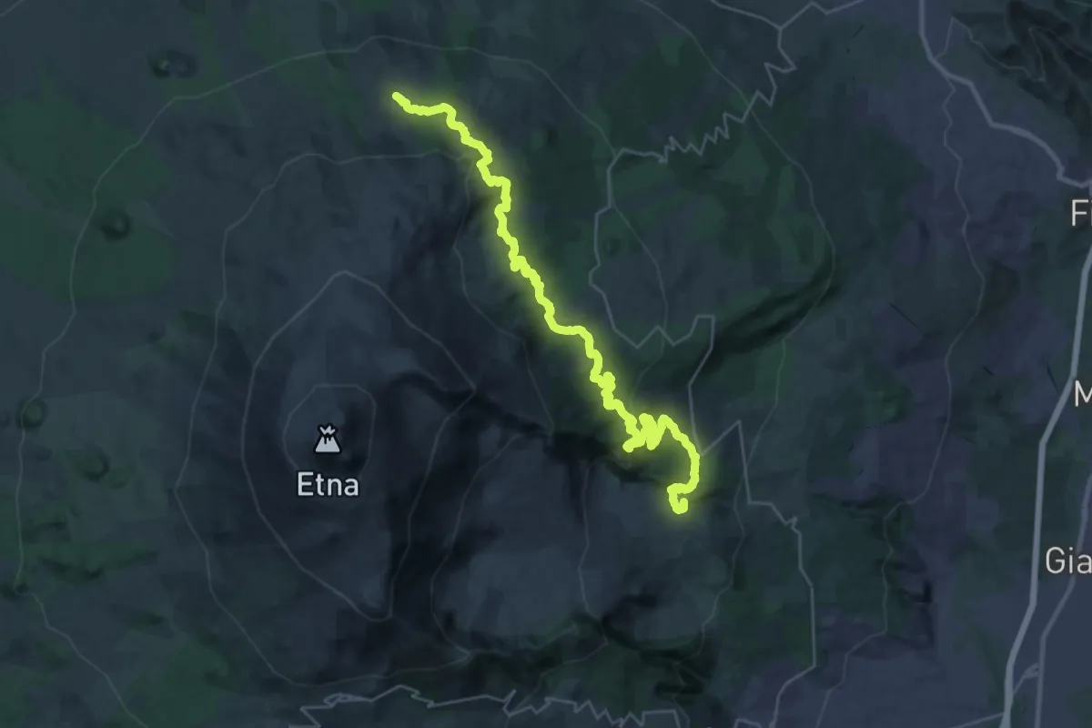
Demanding · Summit
724 Case Pietracannone - Piano Provenzana - Passo dei Dammusi
40.4 km · ↑ 1569 m · 12 h 57 min · 9 km away
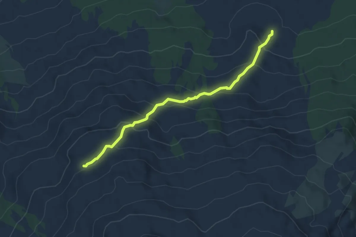
Medium · Trail
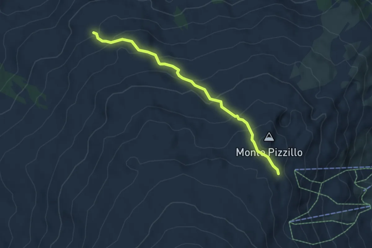
Grotta dei Lamponi - Grotta del Gelo
6.7 km · ↑ 331 m · 2 h 17 min · 9 km away
Demanding · Trail
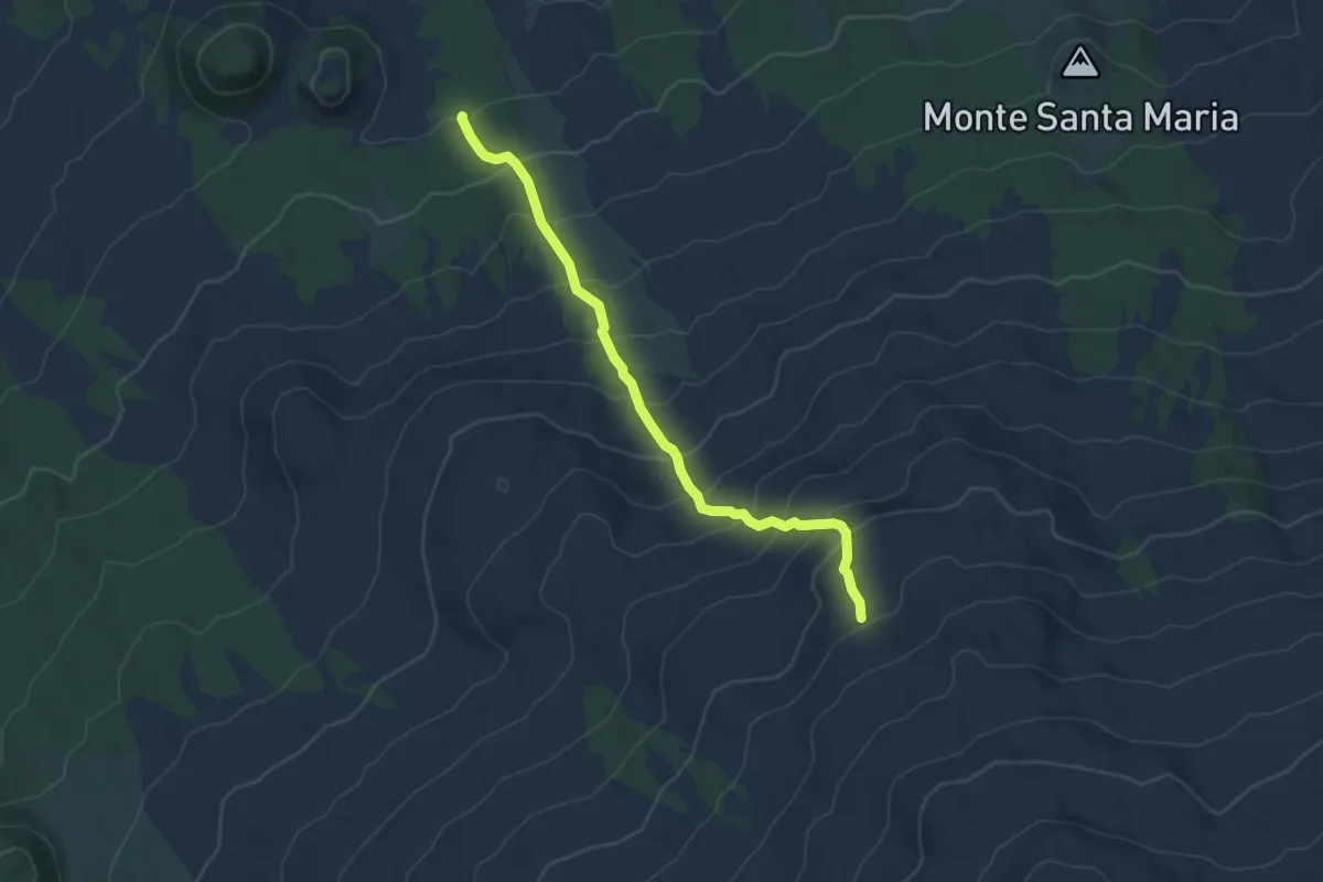
Sentiero Grotta del Lago
6.6 km · ↑ 355 m · 2 h 19 min · 9 km away
Demanding · Trail
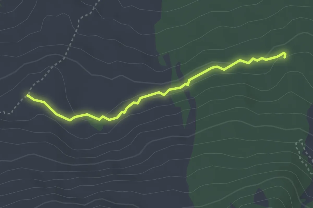
Monte Spagnolo -Grotta del Gelo
6.4 km · ↑ 592 m · 2 h 47 min · 9 km away
Medium · Cabin
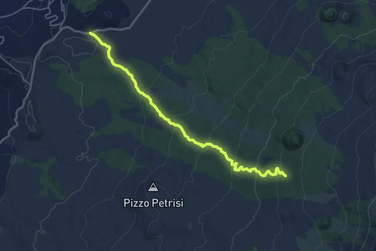
Timparossa Grotta del Gelo
3.4 km · ↑ 73 m · 58 min · 9 km away
Medium · Trail
Strada Statale Occidentale Etnea – Pista Altomontana 701
17.3 km · ↑ 635 m · 5 h 28 min · 9 km away
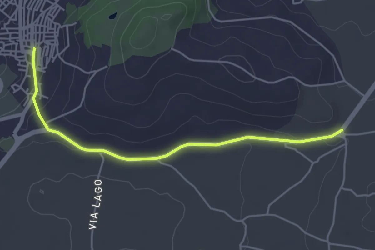
Easy · Trail
Maletto - Sentiero 713
4.8 km · ↑ 67 m · 1 h 16 min · 9 km away
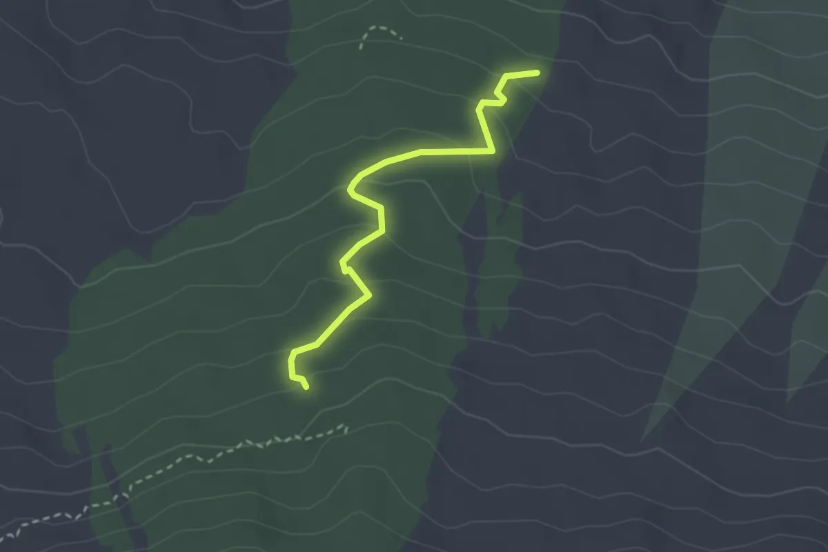
Easy · Trail
Timparossa - Pista Altomontana
2.9 km · ↑ 156 m · 1 h 2 min · 9 km away
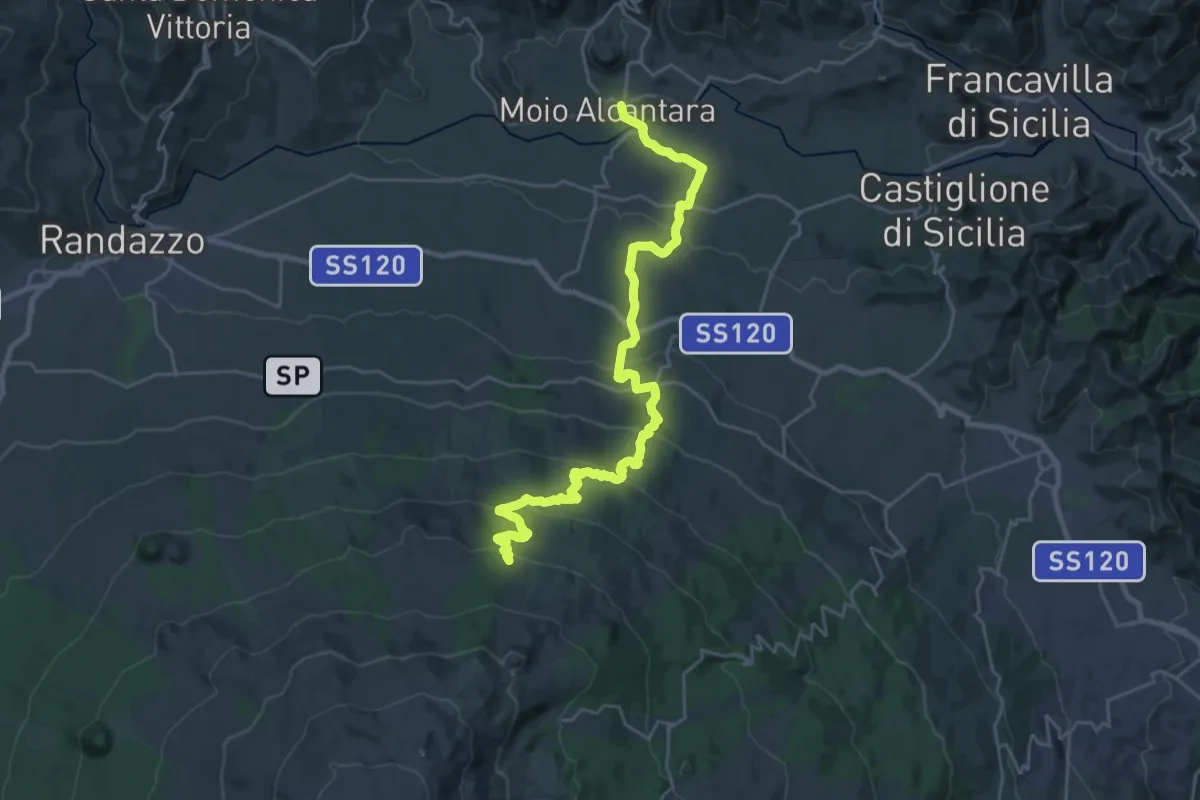
Medium · Trail
Grotta delle Palombe
16.2 km · ↑ 23 m · 4 h 38 min · 9 km away
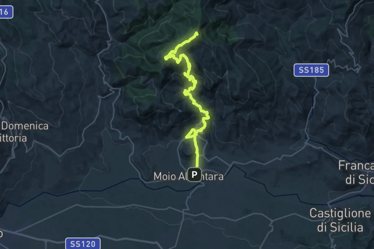
Demanding · Summit
Moio Alcantara – Contrada Fradaro
25.1 km · ↑ 1389 m · 8 h 56 min · 10 km away
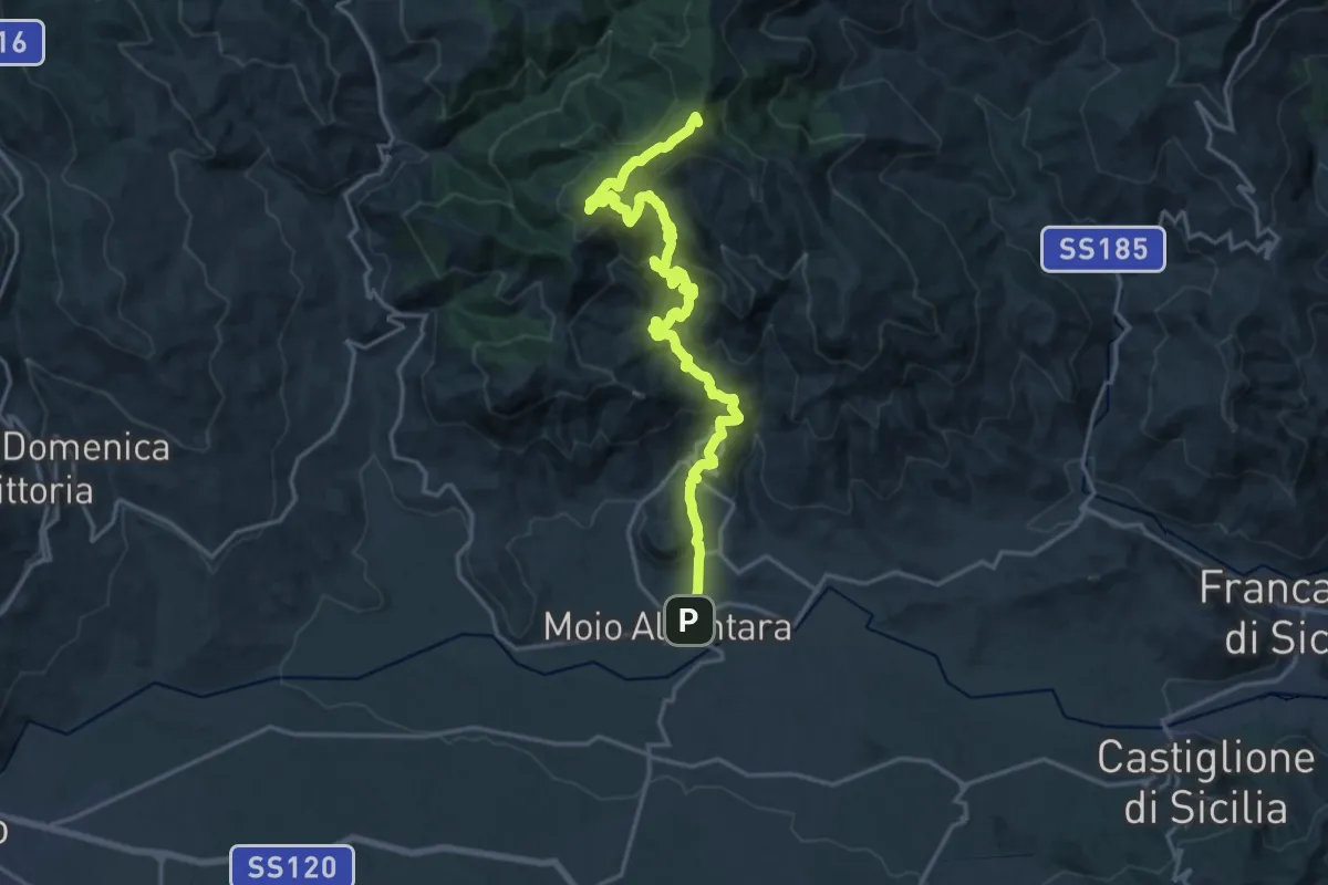
Demanding · Summit
Mojo Alcantara – Contrada Fradaro (Innesto Sentiero Italia)
23.0 km · ↑ 1352 m · 8 h 22 min · 10 km away
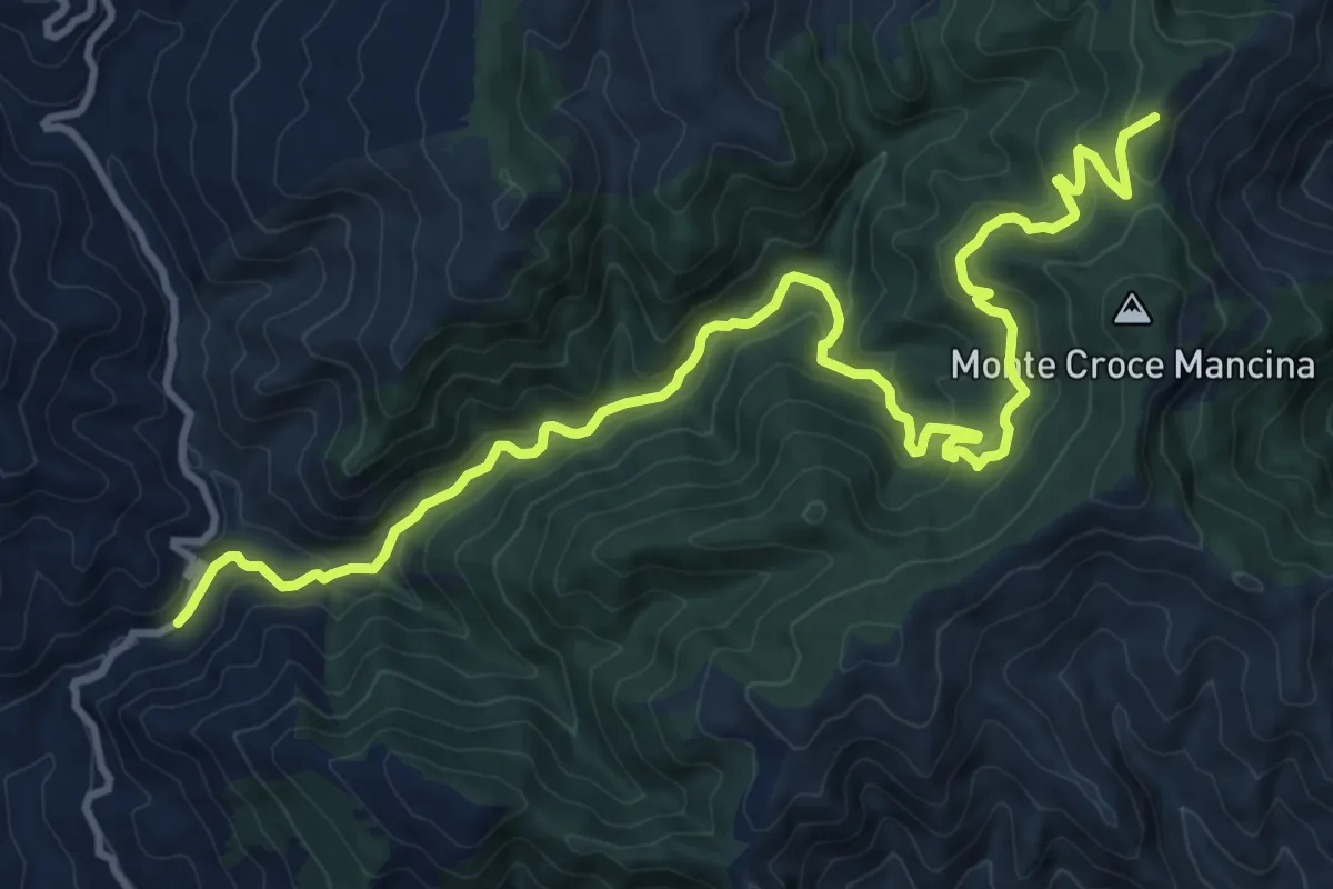
Medium · Summit
Torrente Licopeti – Monte Cerreto - SI
15.7 km · ↑ 734 m · 5 h 18 min · 10 km away
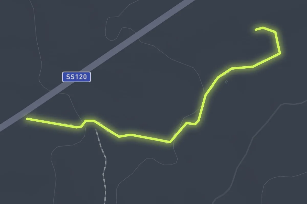
Easy · Trail
Sentiero Archeologico e Naturalistico
2.0 km · ↑ 17 m · 30 min · 10 km away
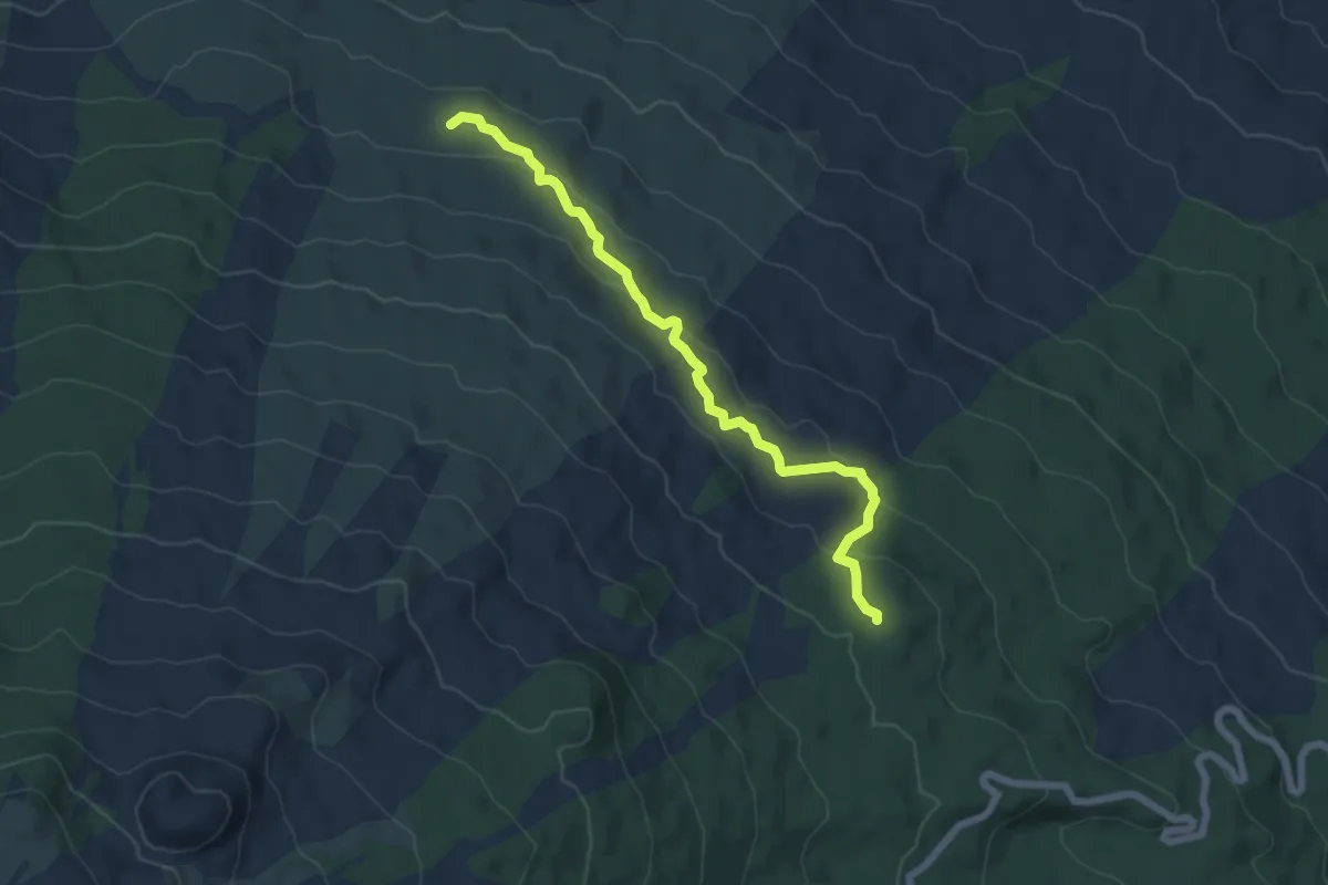
Easy · Cabin
Caserma Pitarrone - Passo Silletta
7.2 km · ↑ 255 m · 2 h 15 min · 10 km away
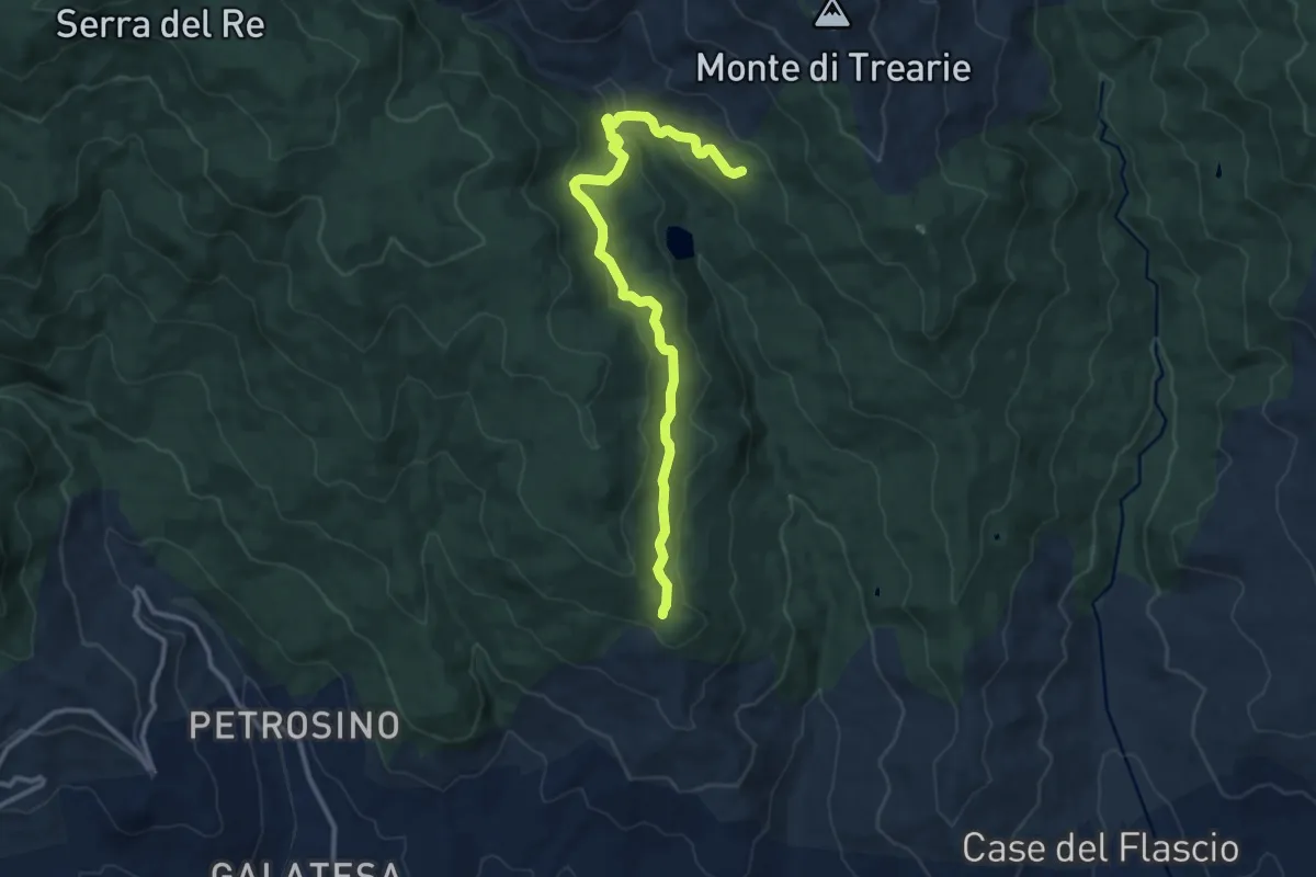
Medium · Cabin
D331 Margio Salice
13.8 km · ↑ 346 m · 4 h · 10 km away
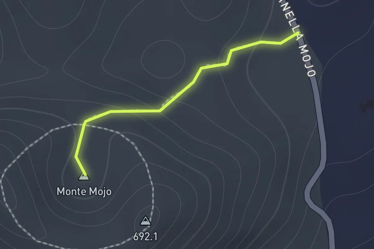
Medium · Summit
Sentiero Vulcanetto di Moio
1.0 km · ↑ 49 m · 21 min · 10 km away
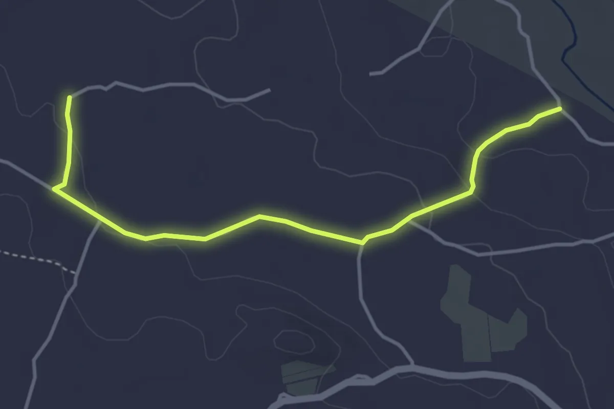
Easy · Trail
845 Sentiero della Cuba - Variante B
4.5 km · ↑ 83 m · 1 h 14 min · 11 km away
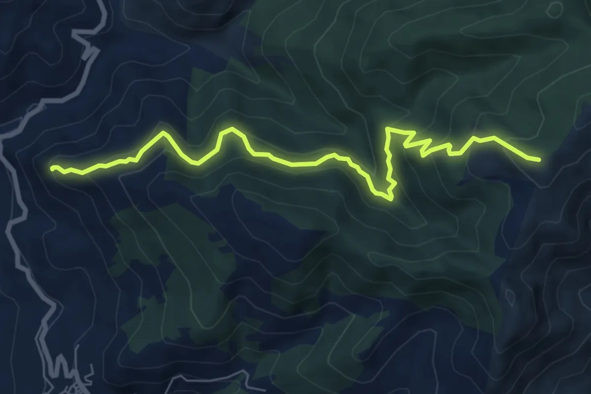
Medium · Summit
Roccella Valdemone – Sentiero 202 - S I
7.8 km · ↑ 510 m · 2 h 57 min · 11 km away
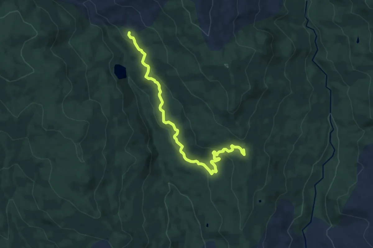
Medium · Trail
D323 Santi Paolo
11.4 km · ↑ 362 m · 3 h 28 min · 11 km away
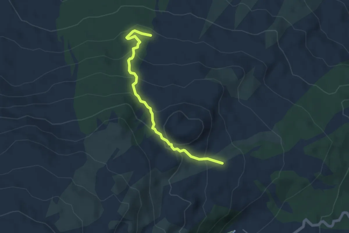
Expert · Trail
Timparossa - Piano Provenzana
4.9 km · ↑ 265 m · 1 h 43 min · 11 km away
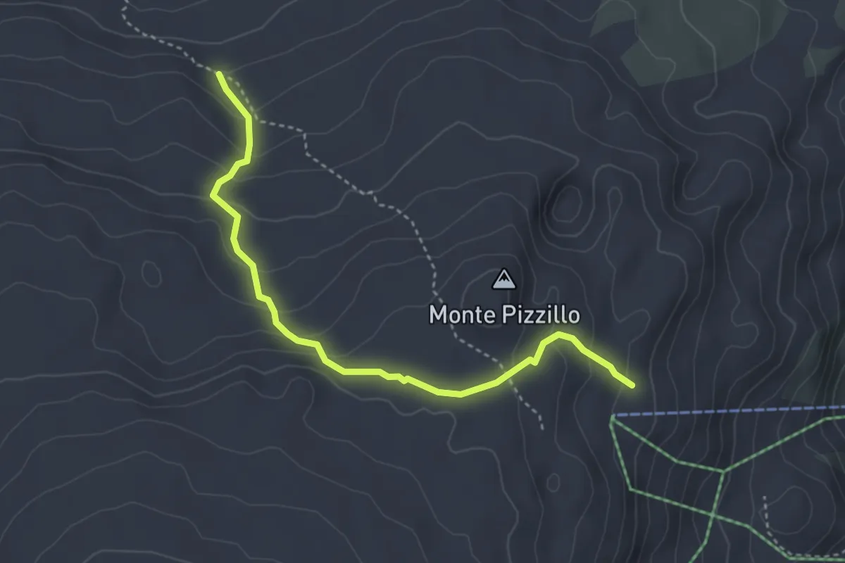
Demanding · Trail
Sentiero Grotta del Lago Variante A
4.4 km · ↑ 247 m · 1 h 35 min · 11 km away
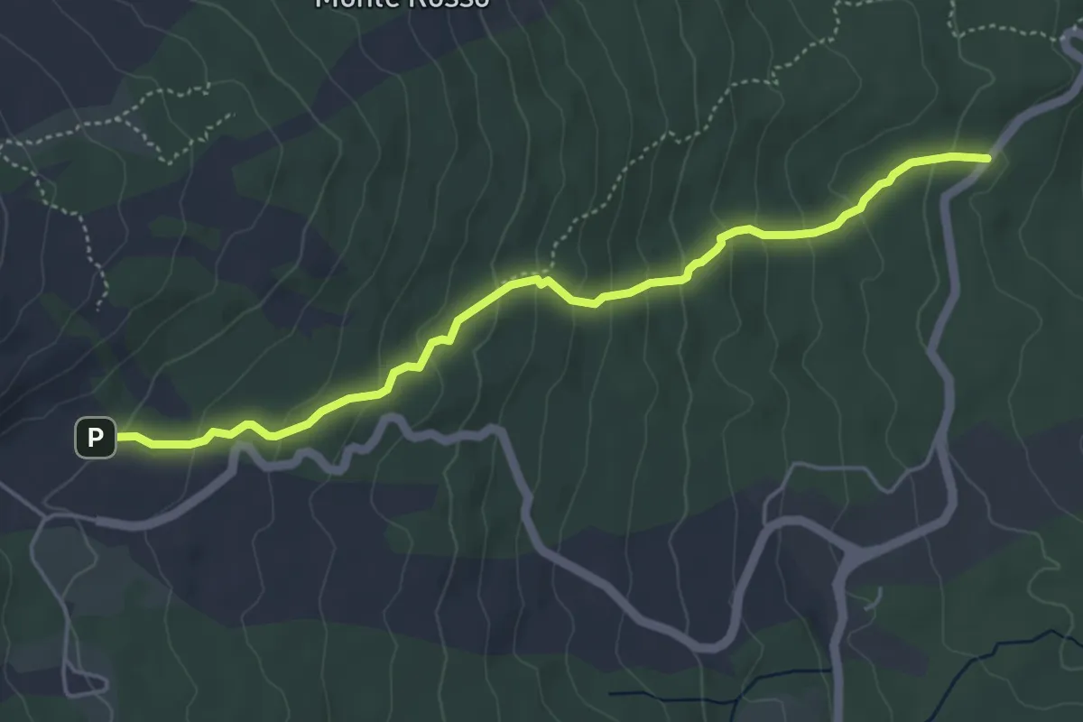
Easy · Trail
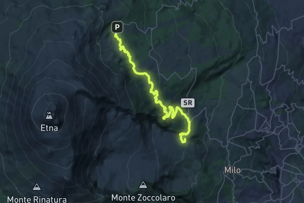
Golfo della Monaca
5.6 km · ↑ 312 m · 2 h · 12 km away
Demanding · Summit
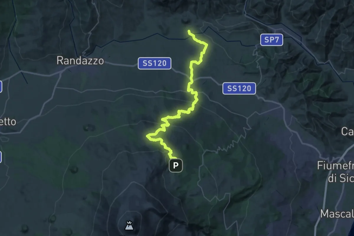
Zafferana Etnea frazione Ballo – Piano Provenzana
30.6 km · ↑ 1152 m · 9 h 43 min · 12 km away
Demanding · Trail
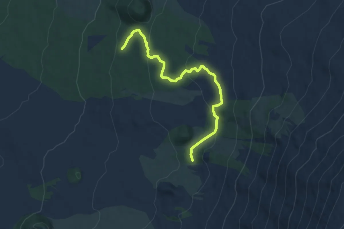
Piano Provenzana – Moio Alcantara
22.8 km · ↑ 208 m · 6 h 47 min · 12 km away
Medium · Trail
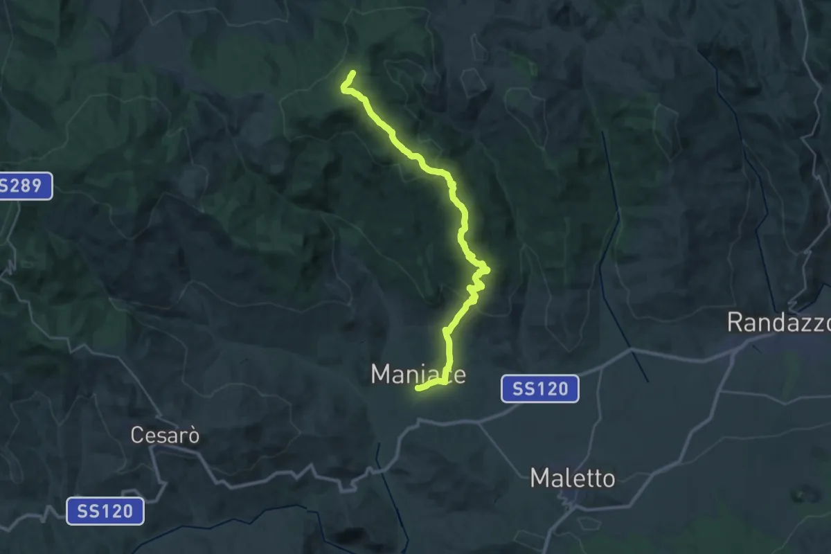
Pista Altomontana - Rifugio Monte Maletto
10.0 km · ↑ 369 m · 3 h 10 min · 12 km away
Demanding · Trail
Maniace-Fondaco – Sorgente di Favotorto
16.3 km · ↑ 1046 m · 5 h 53 min · 12 km away
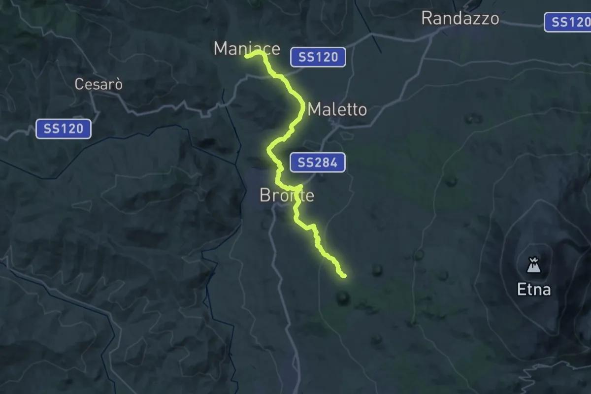
Demanding · Cabin
Piano dei Grilli - Maniace
20.0 km · ↑ 714 m · 6 h 19 min · 12 km away
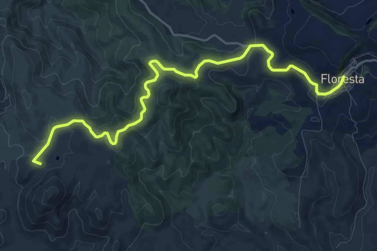
Medium · Summit
Casa Cartolari Liperni – Floresta
14.4 km · ↑ 406 m · 4 h 16 min · 13 km away
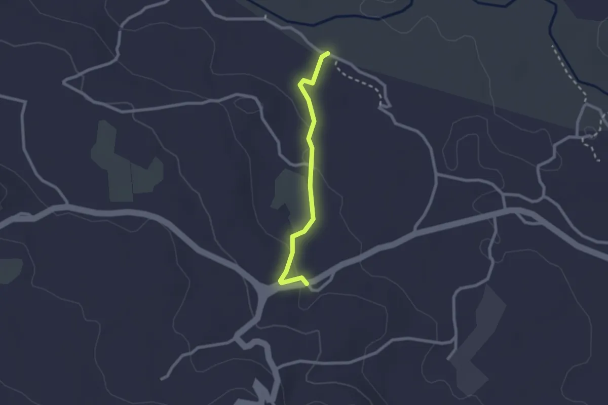
Easy · Trail
844 Sentiero della Cuba - Raccordo Provinciale
2.3 km · ↑ 42 m · 38 min · 13 km away
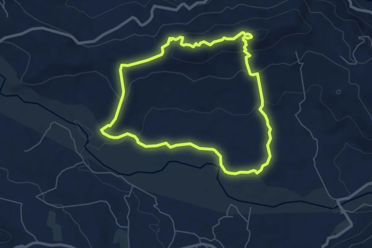
Demanding · Summit
Hiking Alcantara Olgari
6.2 km · ↑ 183 m · 1 h 58 min · 13 km away