Trails near Rapallo
141 hikes starting within 15 km, nearest first.
Nearest first, page 2 of 3
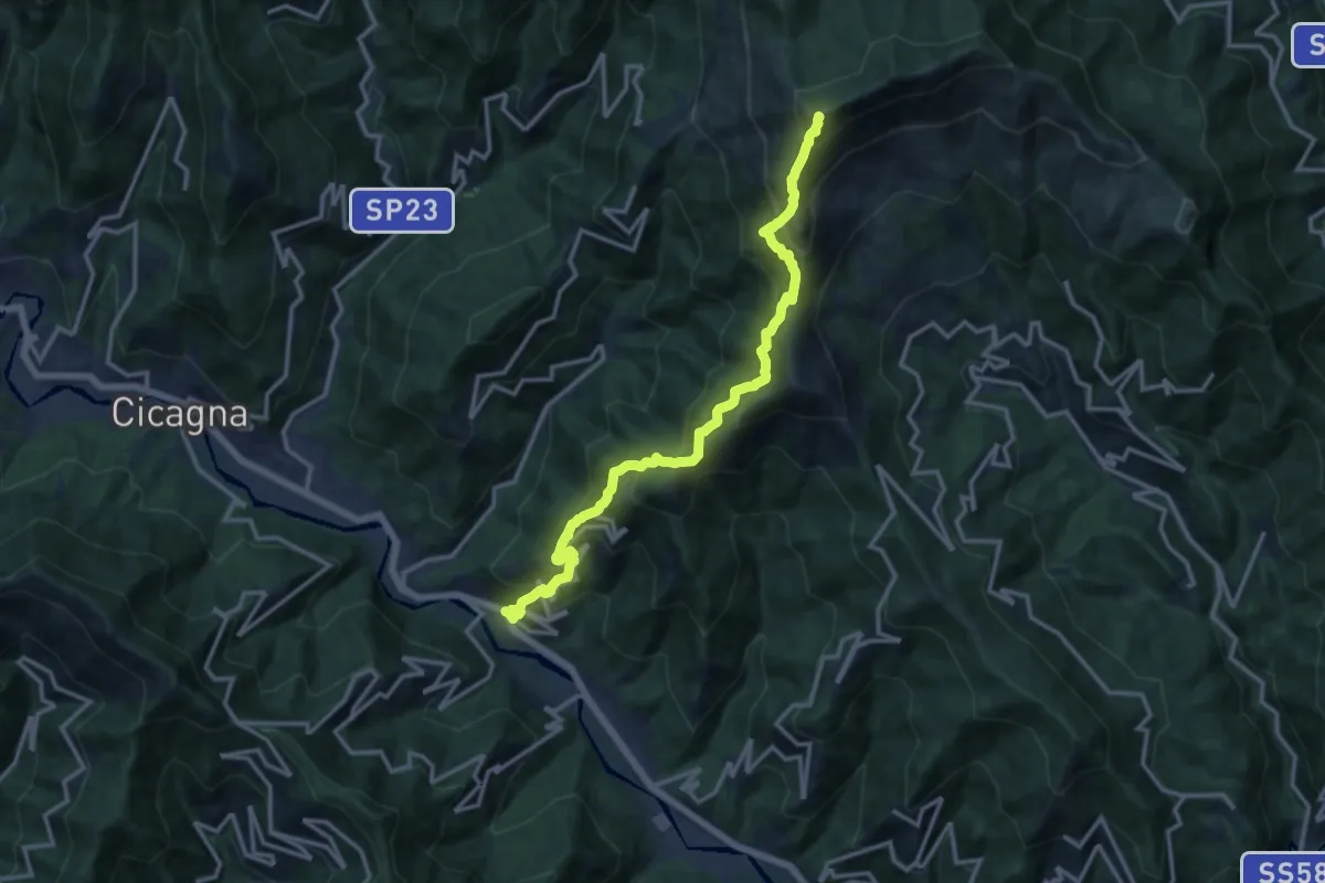
Demanding · Summit
Pian dei Ratti – Monte Ramaceto
14.4 km · ↑ 1457 m · 6 h 33 min · 6 km away
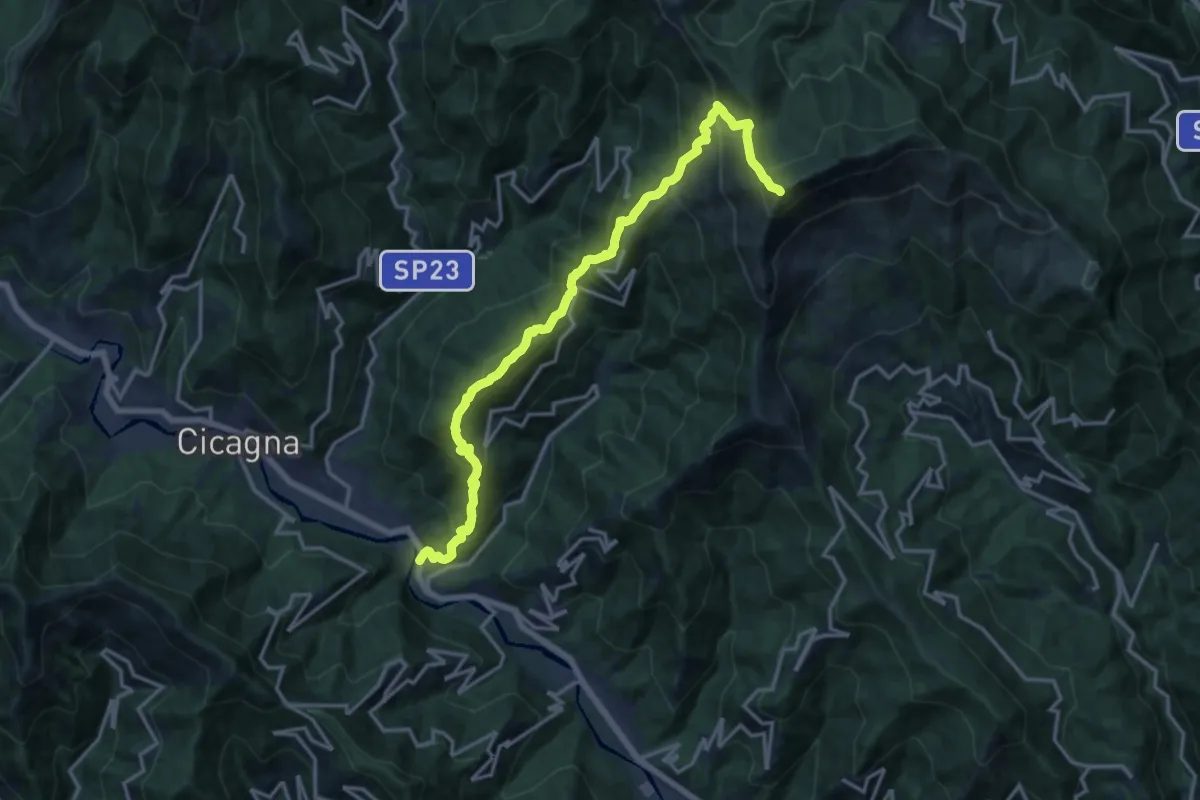
Demanding · Summit
Pianezza – Monte Ramaceto
16.9 km · ↑ 1626 m · 7 h 31 min · 6 km away
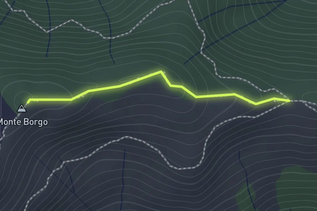
Medium · Summit
Passo Serra - Monte Borgo - Monte Bello
1.2 km · ↑ 64 m · 25 min · 6 km away
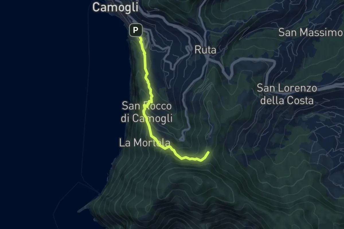
Medium · Trail
Antica Via del Cifalco - deviazione San Rocco/Camogli
6.1 km · ↑ 452 m · 2 h 26 min · 6 km away
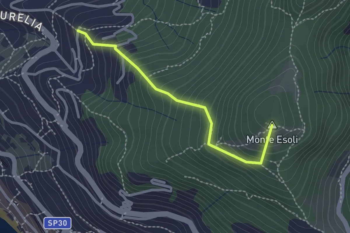
Easy · Summit
San Giacomo - Colle di Monte Esoli
2.2 km · ↑ 273 m · 1 h 6 min · 6 km away
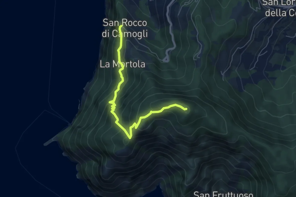
Medium · Summit
San Rocco – Pietre Strette
6.0 km · ↑ 569 m · 2 h 40 min · 6 km away
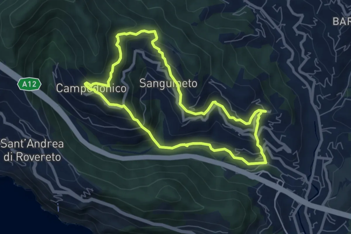
Medium · Trail
Anello delle Tre Frazioni
5.9 km · ↑ 419 m · 2 h 23 min · 6 km away
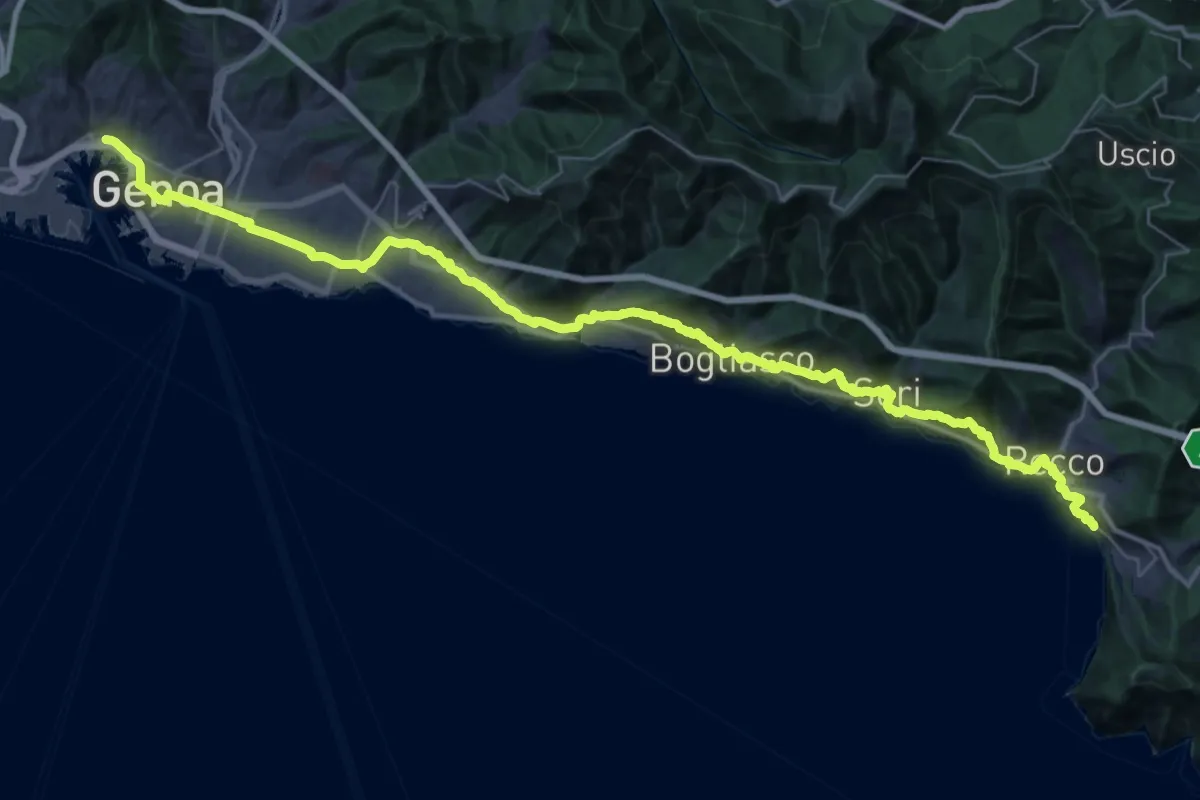
Demanding · Trail
Via della Costa - tappa 8
24.5 km · ↑ 887 m · 8 h 2 min · 6 km away
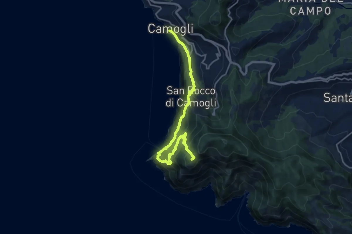
Demanding · Summit
Sentiero Liguria - Tappa 10
12.3 km · ↑ 1213 m · 5 h 32 min · 6 km away
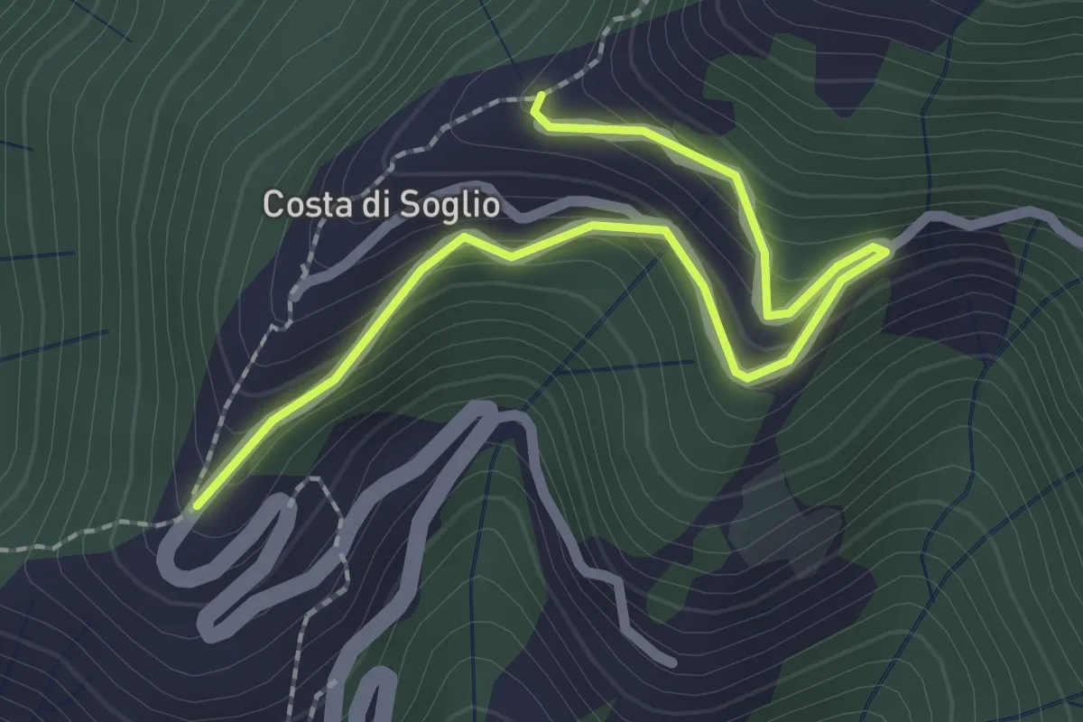
Easy · Trail
Variante Costa di Soglio
2.6 km · ↑ 252 m · 1 h 10 min · 7 km away
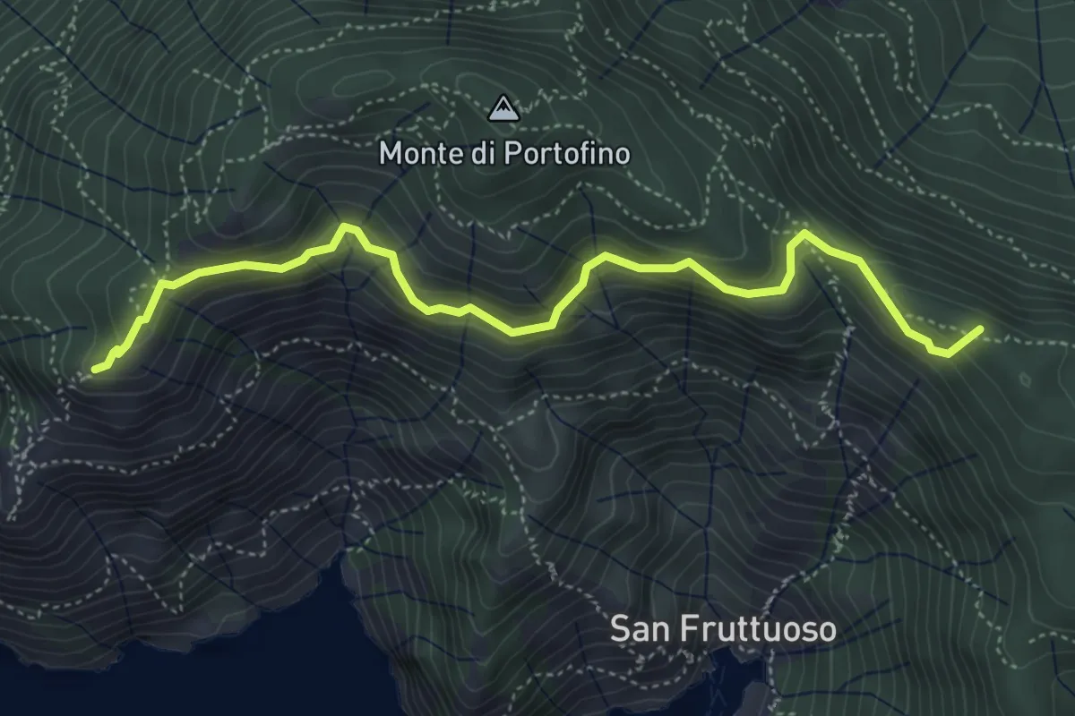
Medium · Summit
Base "0" – Semaforo Nuovo
5.2 km · ↑ 314 m · 1 h 54 min · 7 km away
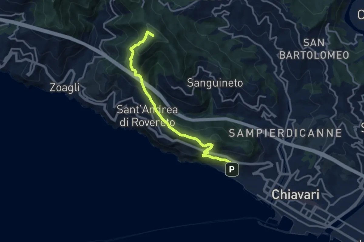
Medium · Summit
Chiavari - Passo dell'Anchetta
9.5 km · ↑ 754 m · 3 h 52 min · 7 km away
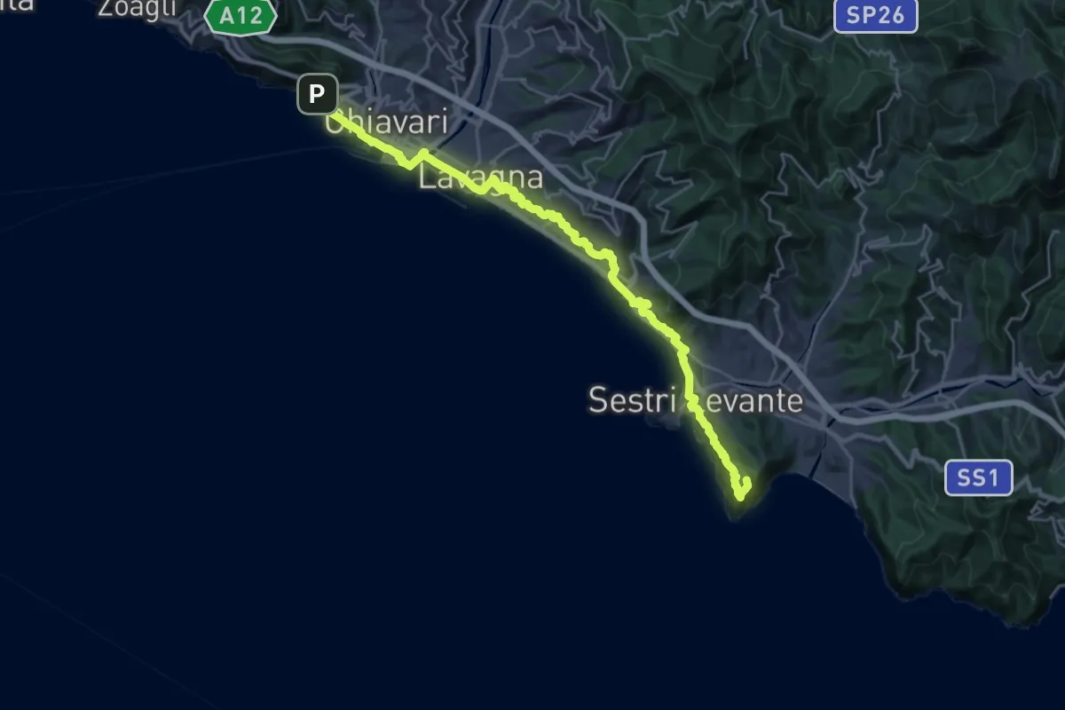
Expert · Summit
Sentiero Verdeazzurro
28.8 km · ↑ 937 m · 8 h 50 min · 7 km away
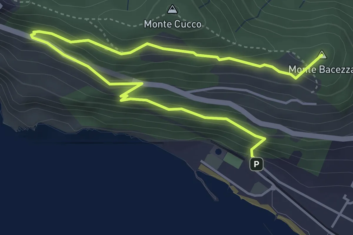
Medium · Summit
Anello panoramico "delle Grazie"
5.6 km · ↑ 400 m · 2 h 12 min · 7 km away
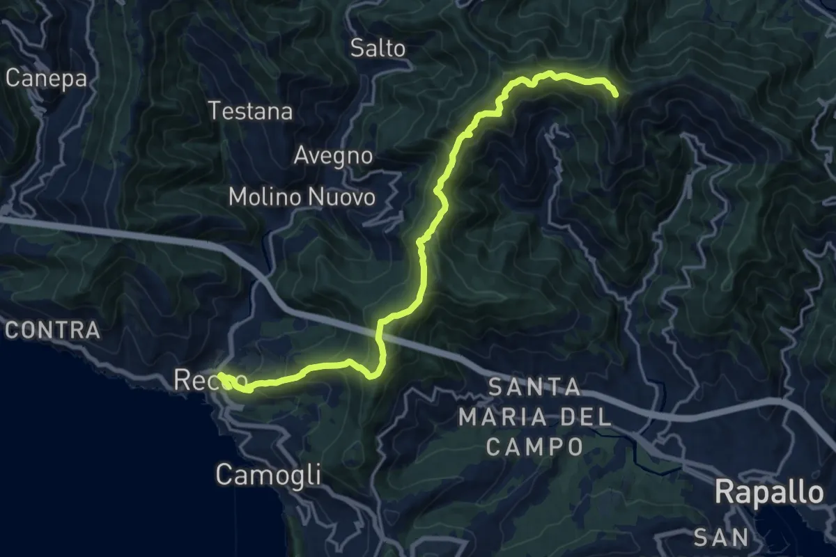
Demanding · Summit
Recco - M. Manico del Lume
17.6 km · ↑ 1195 m · 6 h 45 min · 7 km away
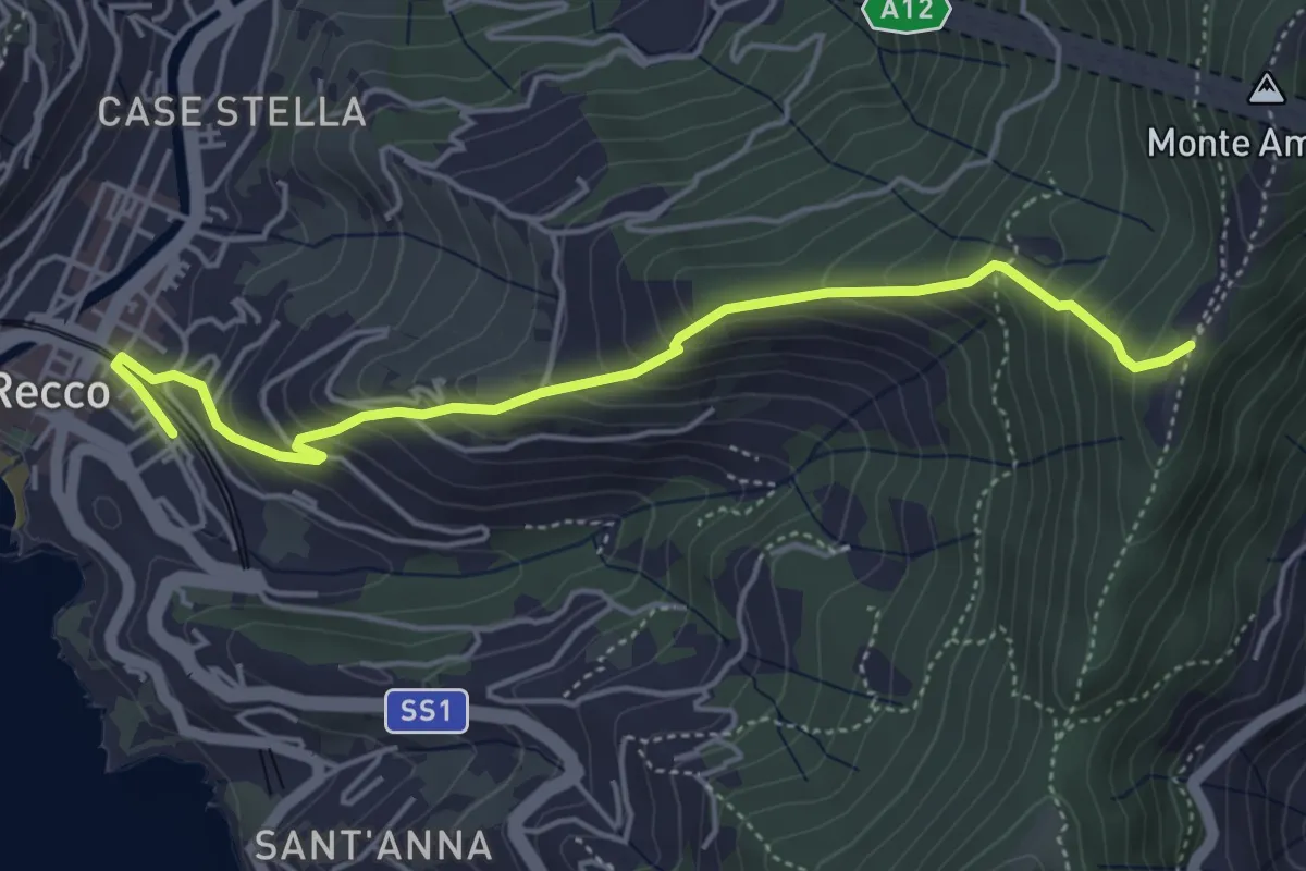
Medium · Trail
Antica Via del Cifalco - deviazione Recco
5.0 km · ↑ 469 m · 2 h 12 min · 7 km away
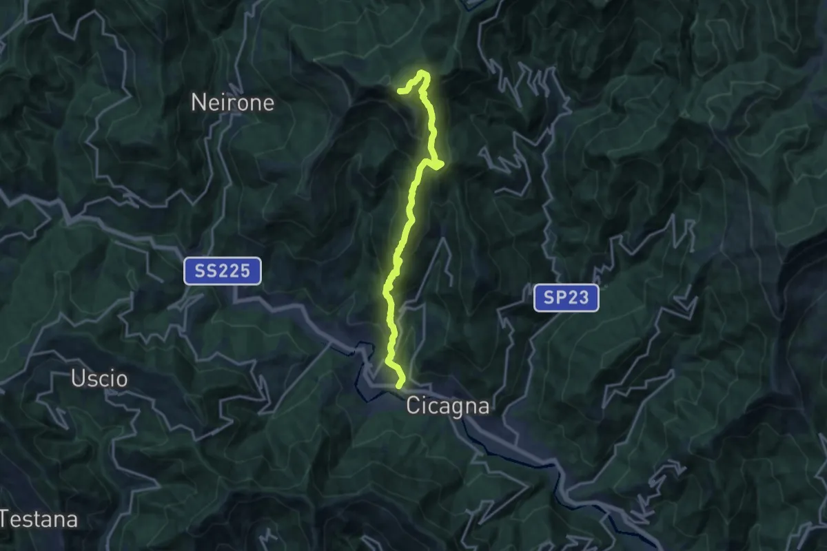
Demanding · Summit
Cicagna - Acquapendente - Monte Caucaso - Barbagelata
14.4 km · ↑ 1261 m · 6 h 7 min · 7 km away
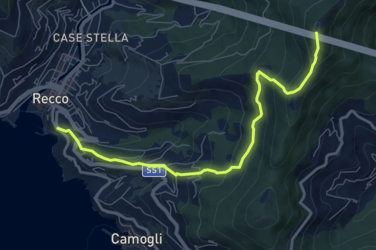
Medium · Summit
Recco - Monte Ampola
7.1 km · ↑ 529 m · 2 h 50 min · 7 km away
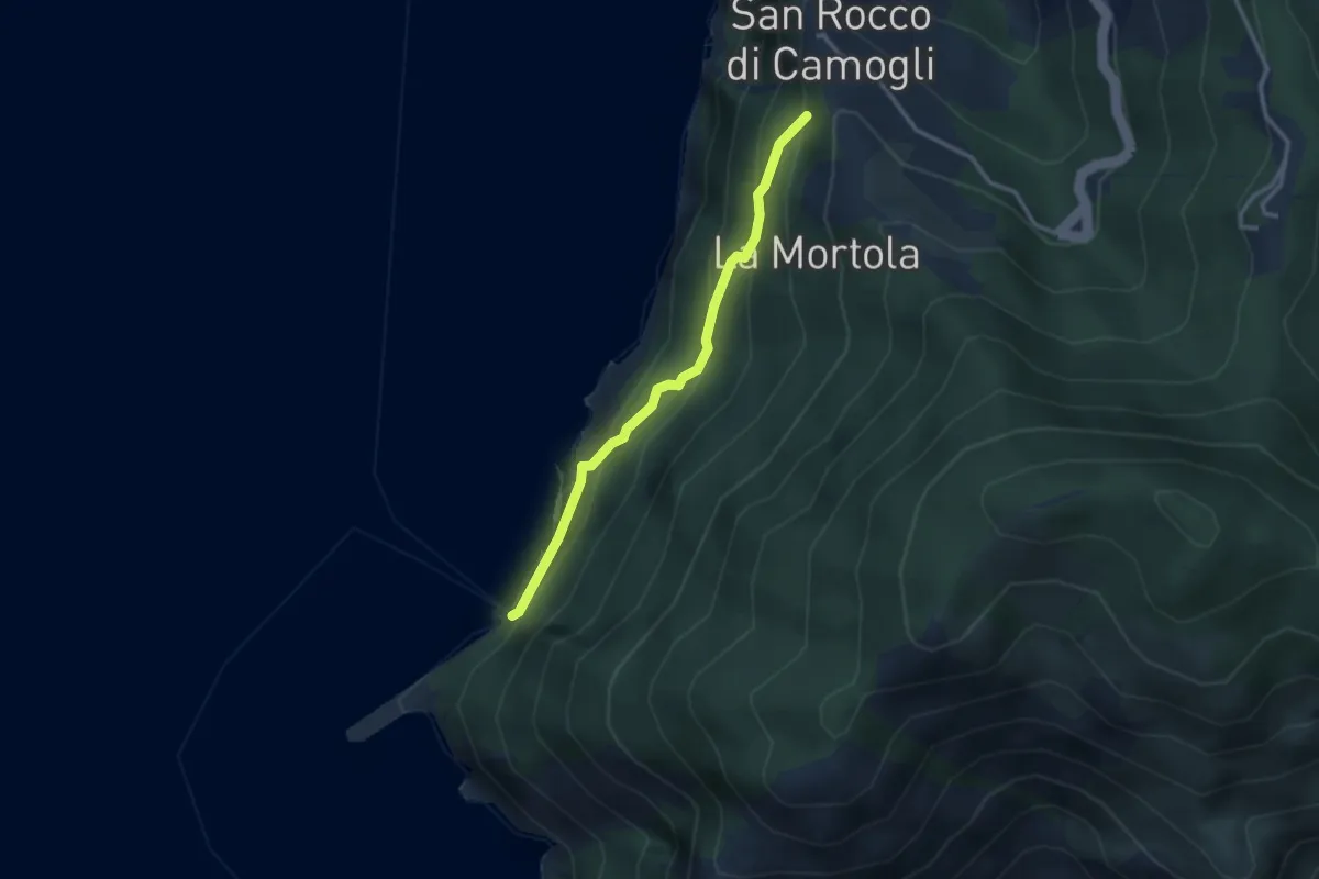
Easy · Trail
San Rocco - San Nicolò di Capodimonte - La Foce (Porto Pidocchio)
2.8 km · ↑ 189 m · 1 h 4 min · 7 km away
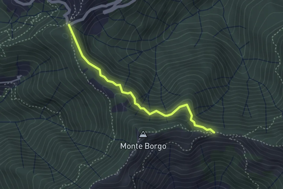
Medium · Trail
Passo Spinarola - Passo Serra
3.4 km · ↑ 252 m · 1 h 21 min · 7 km away
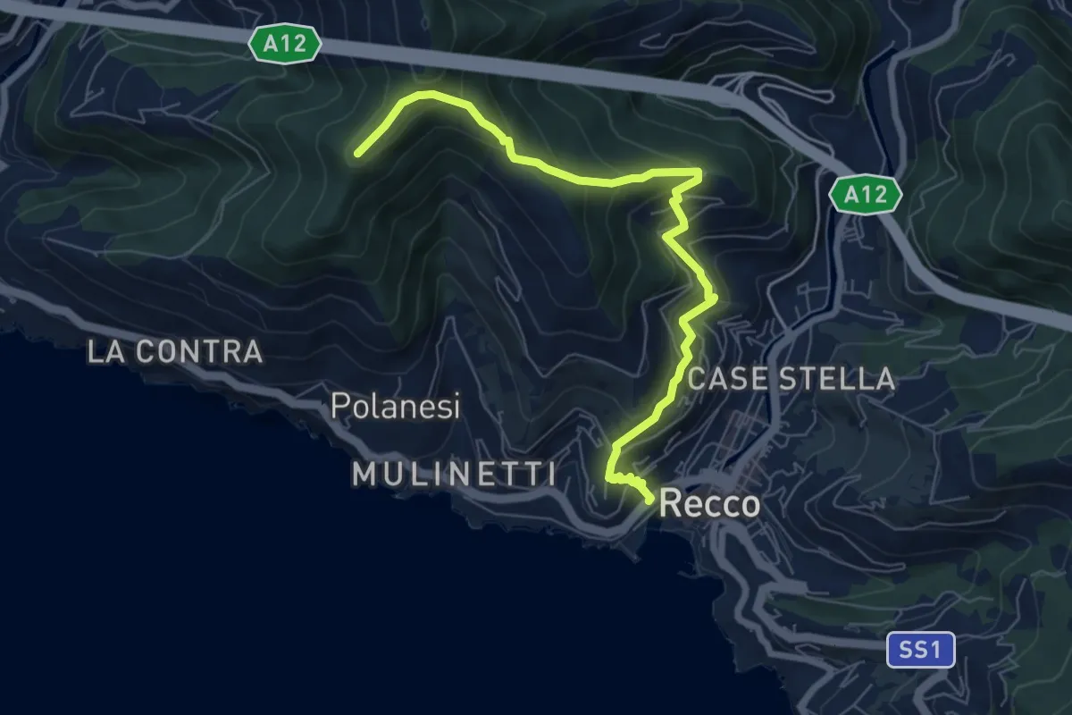
Medium · Trail
Recco – Sant'Uberto
7.4 km · ↑ 582 m · 3 h 1 min · 7 km away
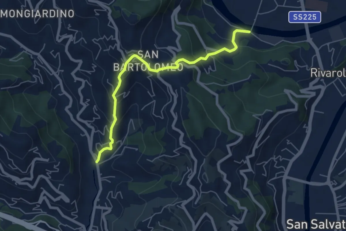
Medium · Trail
Rostio – Ponte Vecchio
5.4 km · ↑ 427 m · 2 h 12 min · 7 km away
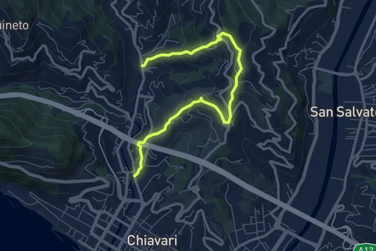
Medium · Trail
Casale di Bacezza - Curlo - Rostio
7.5 km · ↑ 501 m · 2 h 51 min · 7 km away
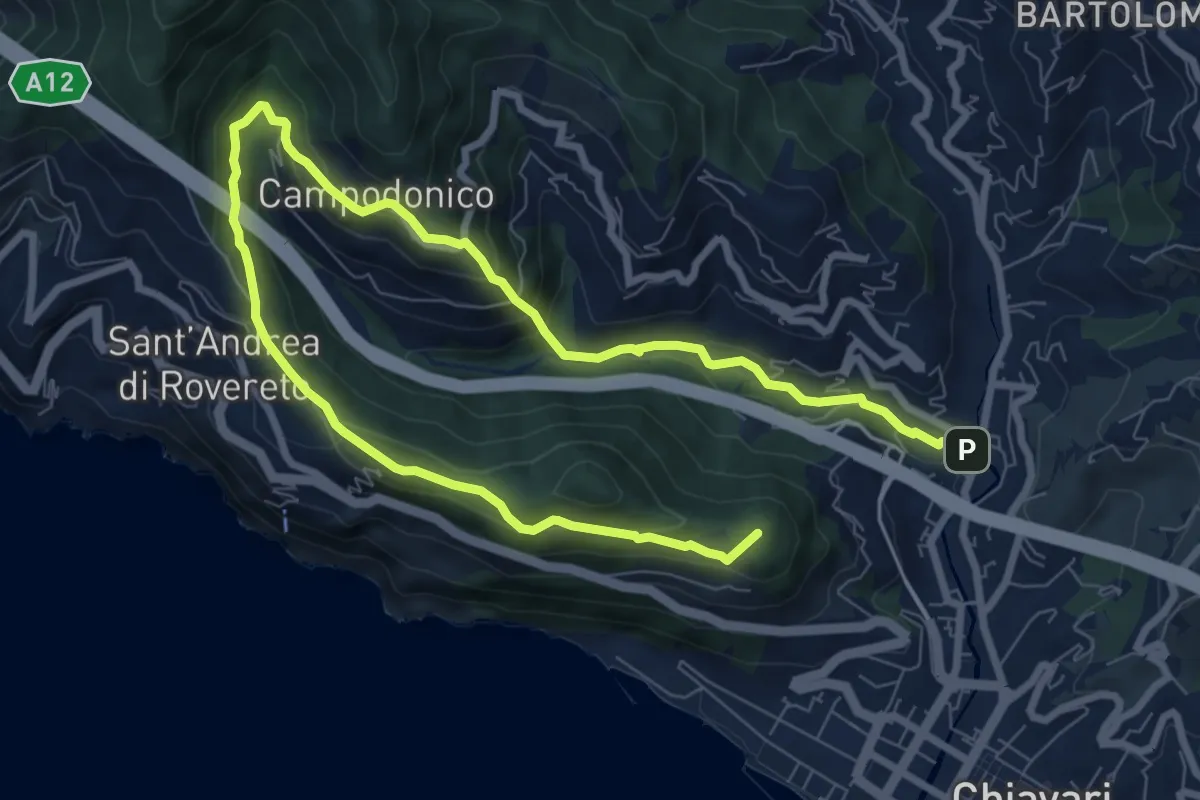
Medium · Summit
Chiavari - San Bernardo - San Pier di Canne
12.5 km · ↑ 638 m · 4 h 19 min · 8 km away
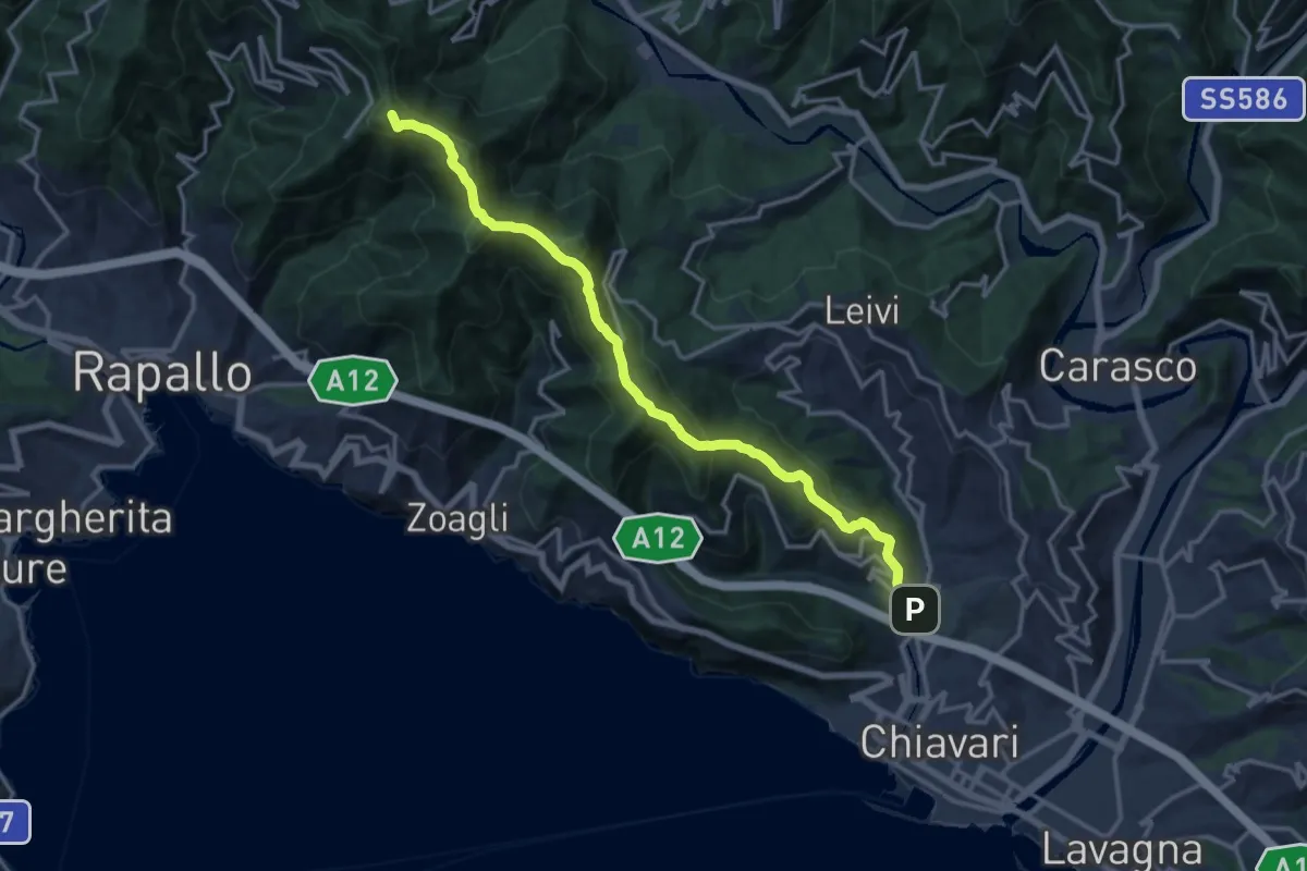
Demanding · Summit
S. Pier di Canne – Santuario di Montallegro
15.6 km · ↑ 863 m · 5 h 34 min · 8 km away
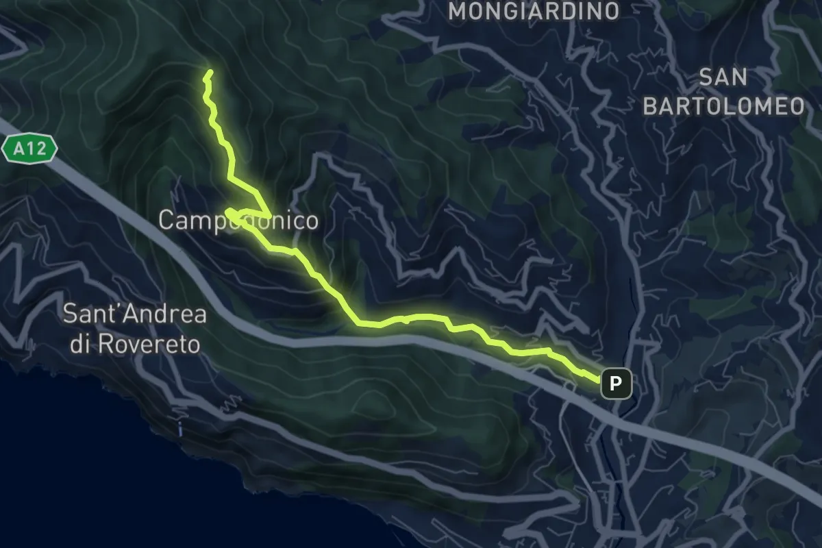
Medium · Trail
Chiavari - Anchetta
7.8 km · ↑ 509 m · 2 h 57 min · 8 km away
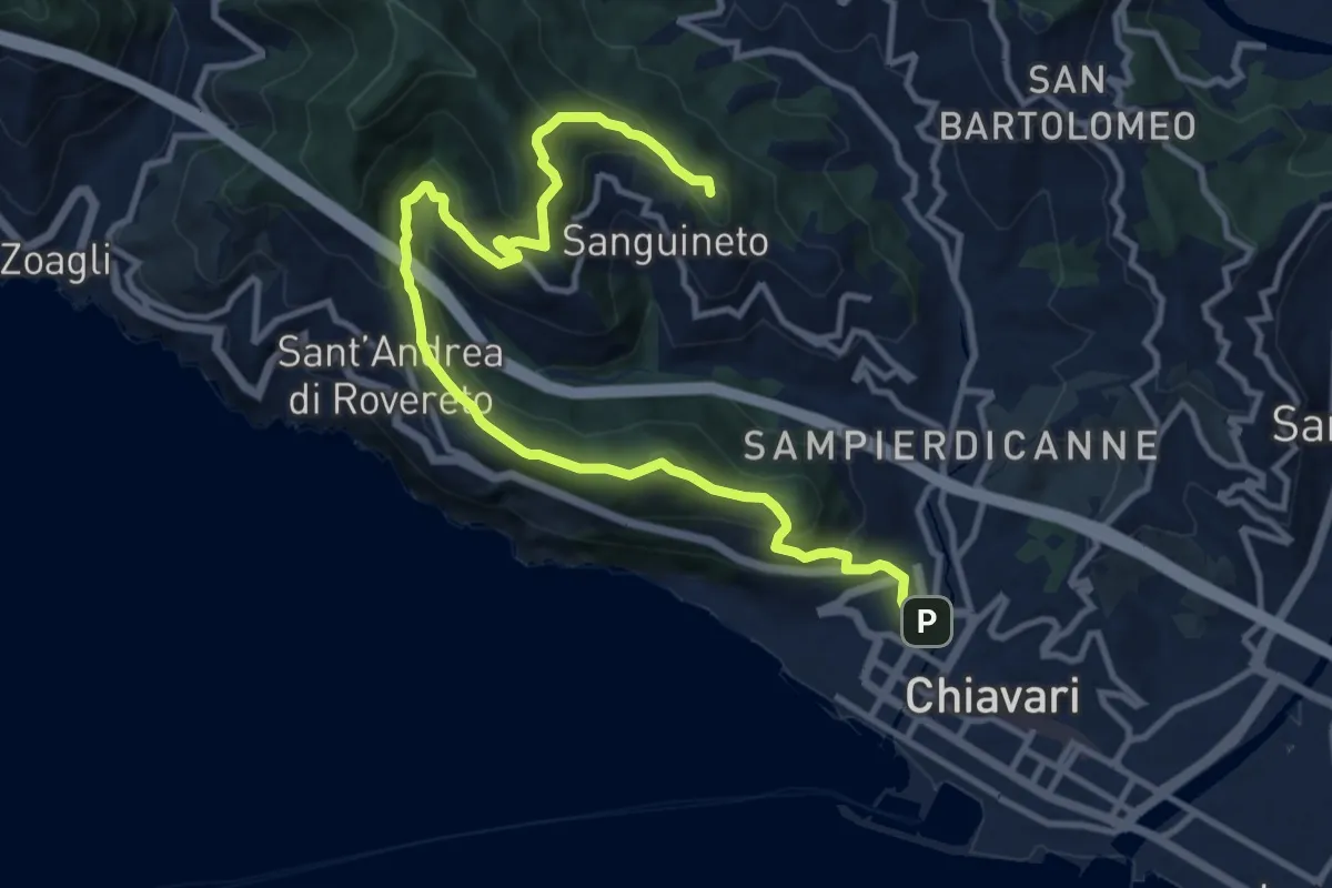
Demanding · Summit
Anello di Monte Telegrafo
13.7 km · ↑ 859 m · 5 h 5 min · 8 km away
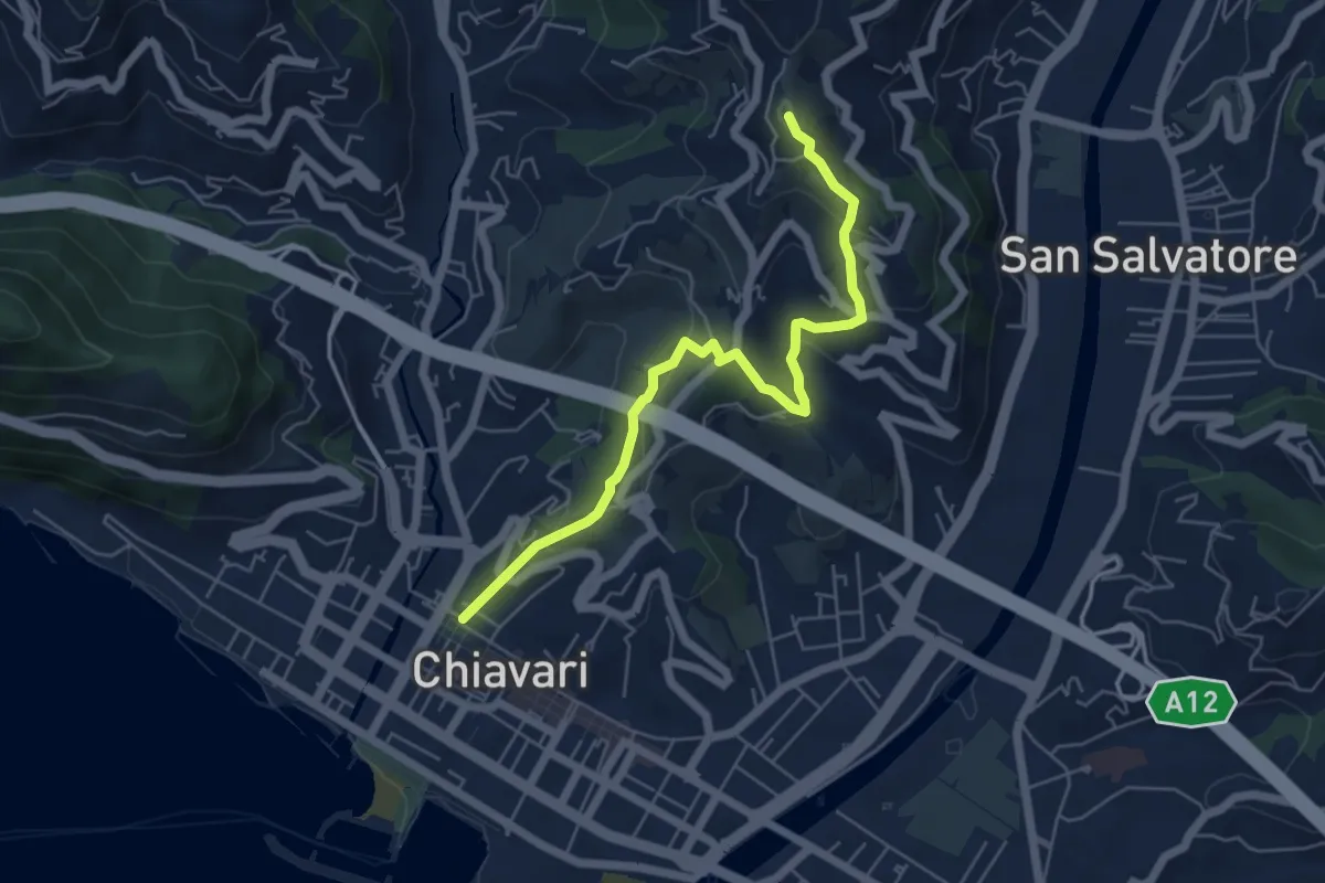
Medium · Trail
Variante al giro delle Cinque Torri fino al Curlo (Chiavari - Leivi)
6.0 km · ↑ 351 m · 2 h 11 min · 8 km away
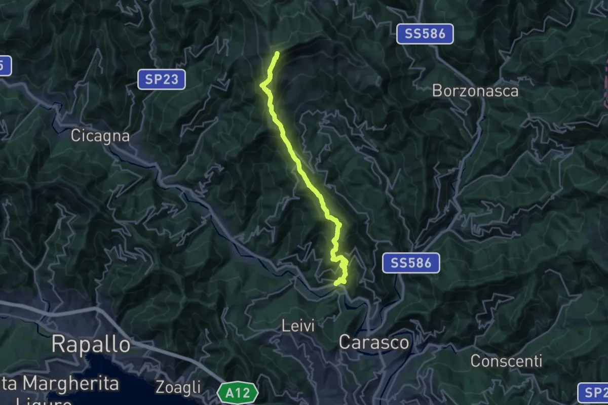
Demanding · Summit
San Colombano Certenoli – Monte Ramaceto
20.2 km · ↑ 1526 m · 8 h 4 min · 8 km away
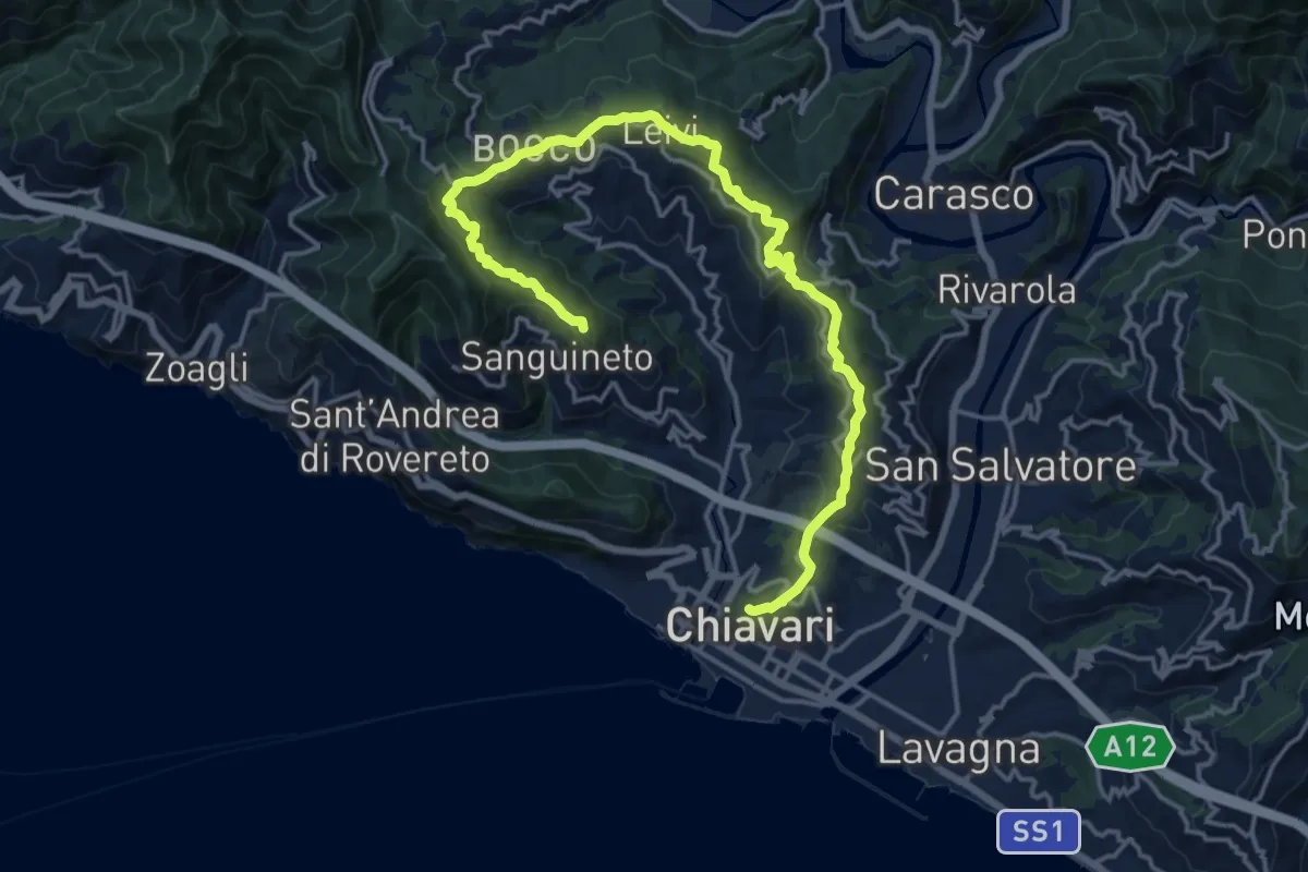
Demanding · Summit
Le Cinque Torri
20.1 km · ↑ 831 m · 6 h 33 min · 8 km away
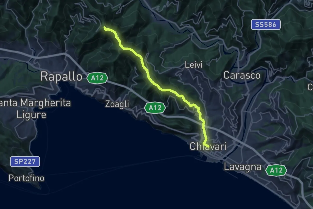
Demanding · Summit
Sentiero Liguria - Tappa 8 variante
18.6 km · ↑ 897 m · 6 h 20 min · 8 km away
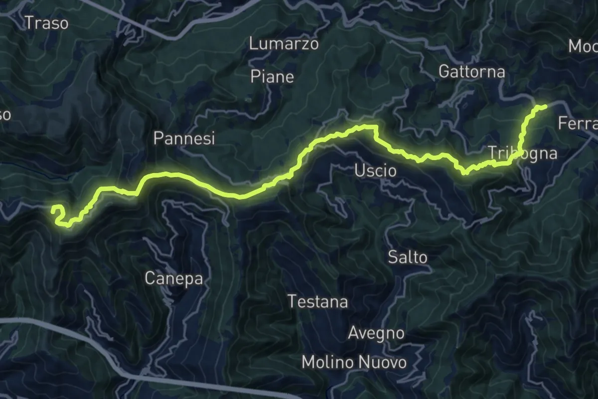
Demanding · Summit
Itinerario Storico Colombiano (ISC)
24.8 km · ↑ 1346 m · 8 h 46 min · 9 km away
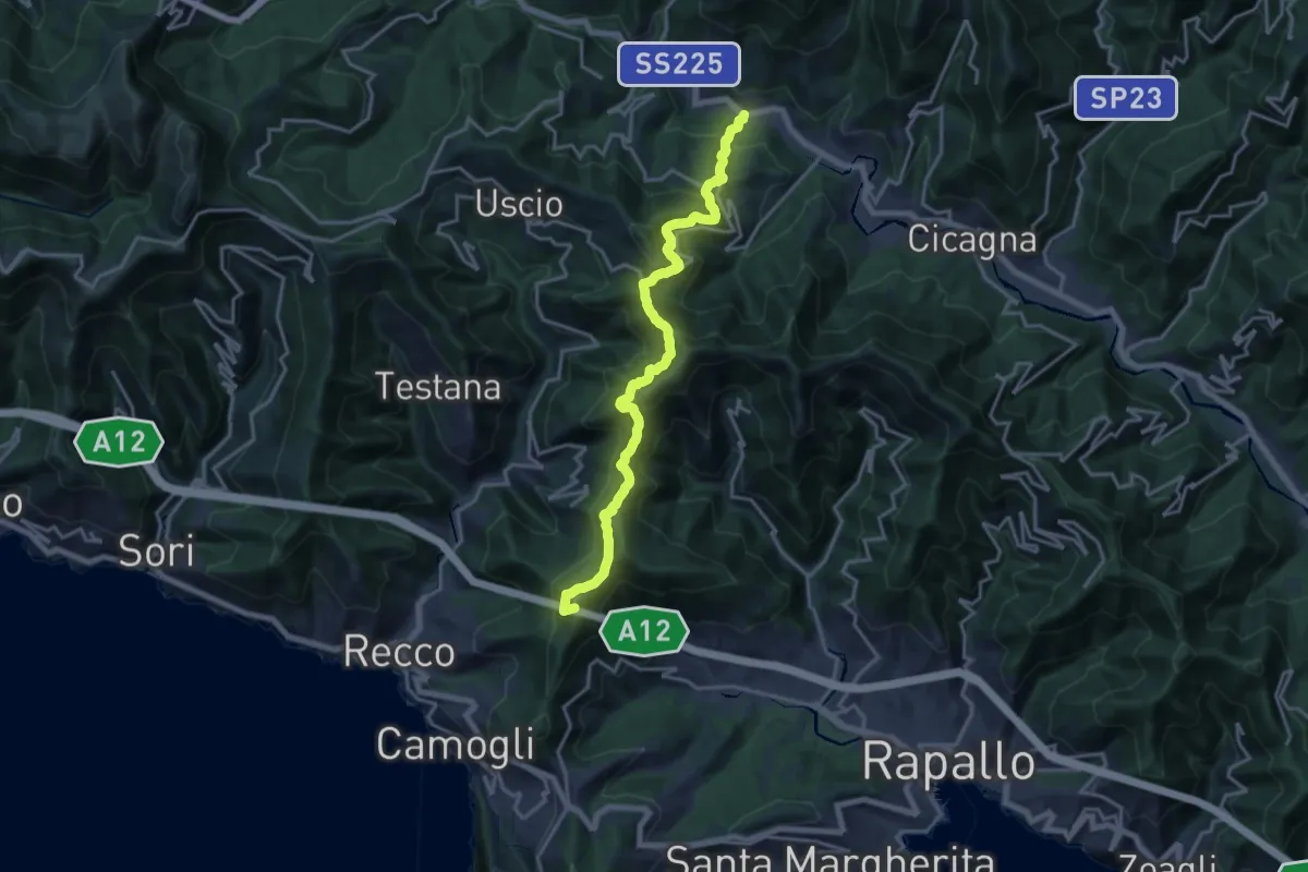
Demanding · Summit
Itinerario dei 2 Golfi
18.3 km · ↑ 1180 m · 6 h 52 min · 9 km away
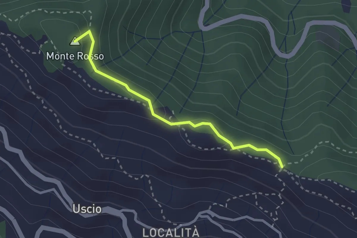
Medium · Summit
Antica Via del Cifalco - deviazione Colle Caprile
2.3 km · ↑ 65 m · 41 min · 9 km away
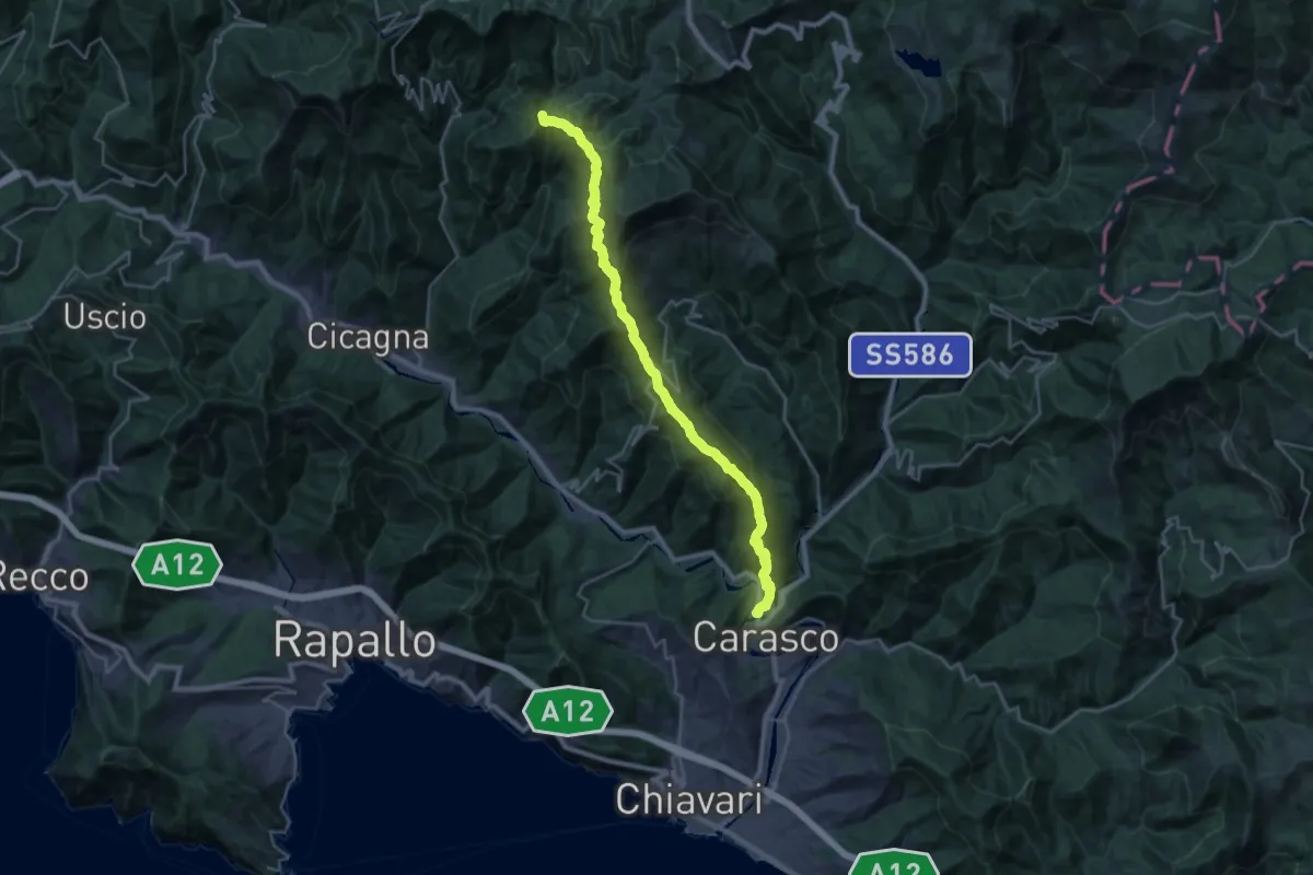
Demanding · Summit
Itinerario del 7 Passi
28.5 km · ↑ 1913 m · 10 h 53 min · 9 km away
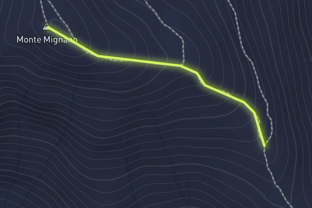
Medium · Summit
Sentiero di Monte Mignano
1.0 km · ↑ 117 m · 30 min · 9 km away
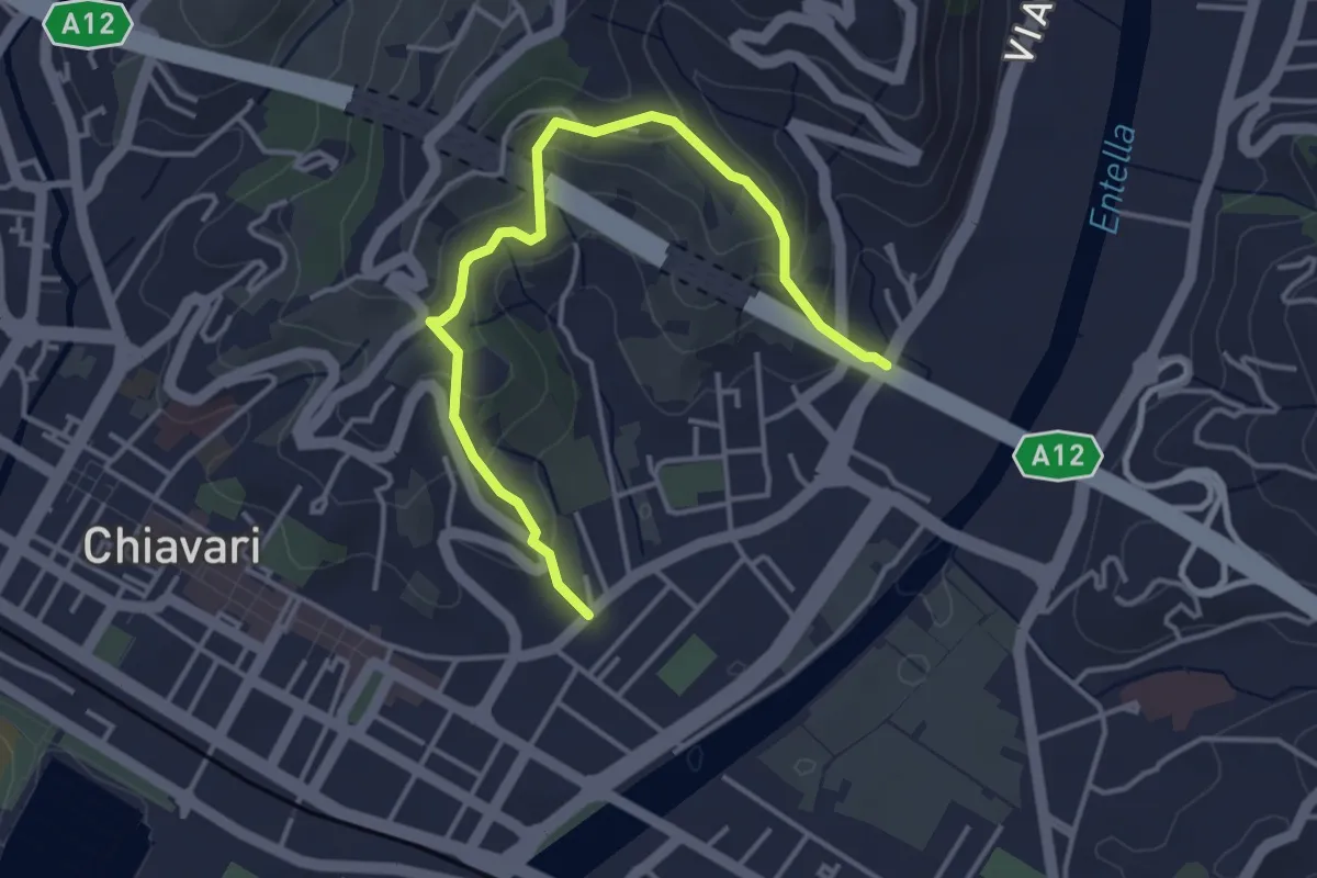
Easy · Trail
Salita Ceive - C. di Ri - Salita San Michele
4.3 km · ↑ 233 m · 1 h 32 min · 9 km away
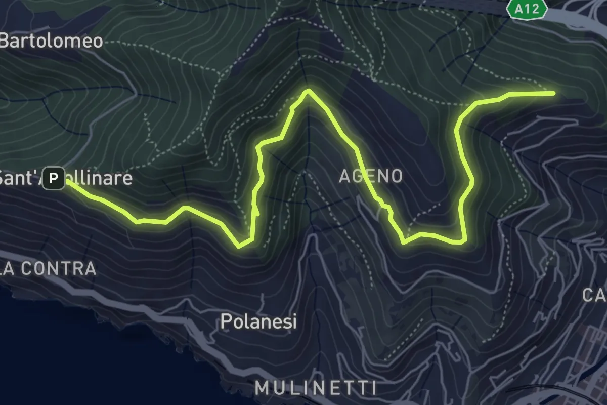
Medium · Trail
Sant'Apollinare - Ageno - Chiesa dell'Ascensione
7.7 km · ↑ 483 m · 2 h 51 min · 10 km away
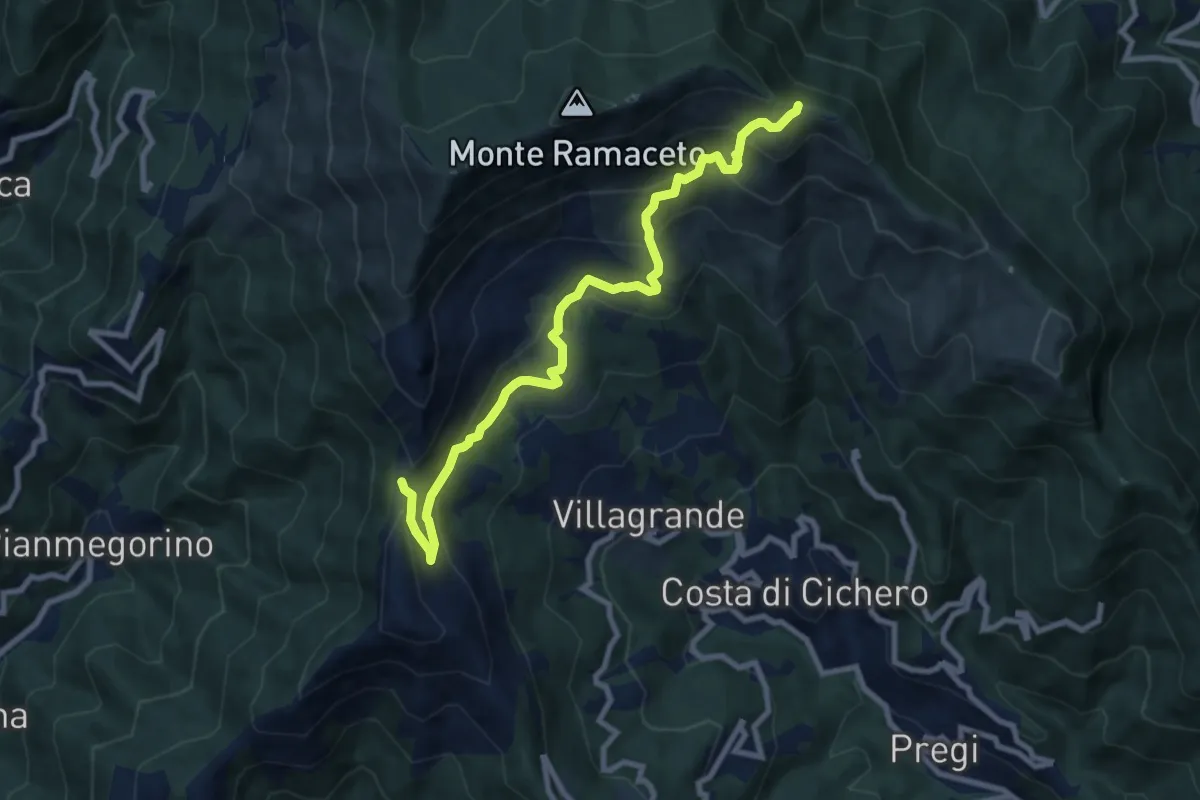
Medium · Trail
Passo del Dente – Fo du Driun
9.4 km · ↑ 624 m · 3 h 35 min · 10 km away
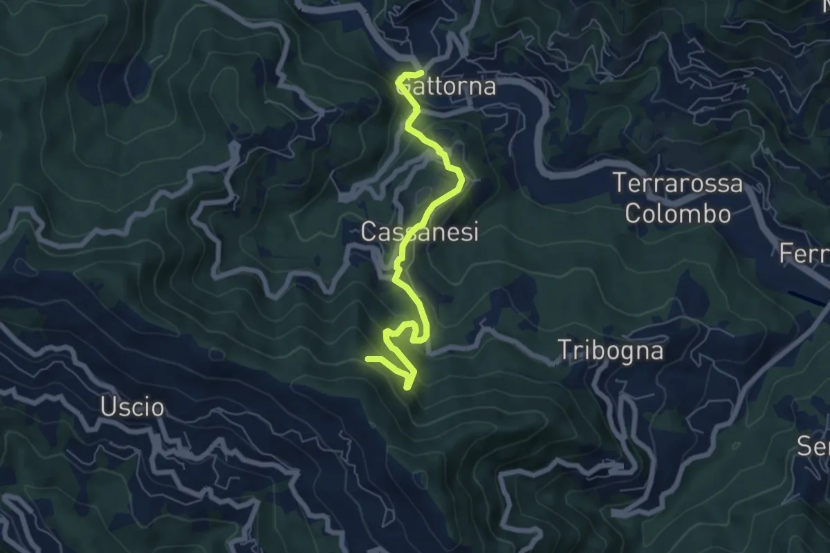
Medium · Trail
Gattorna - Innesto Itinerario Storico Colombiano
6.1 km · ↑ 414 m · 2 h 20 min · 10 km away
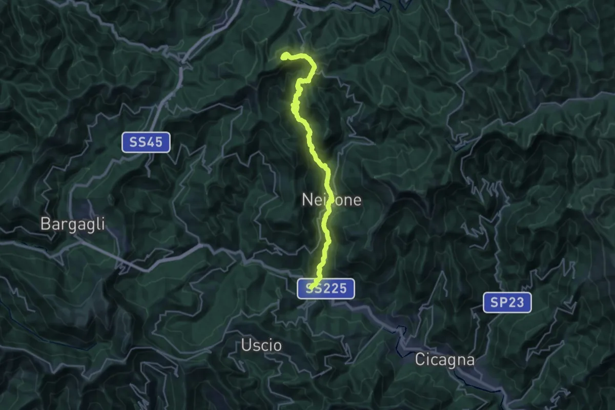
Demanding · Summit
I Feudi Fliscani
21.6 km · ↑ 1214 m · 7 h 44 min · 10 km away
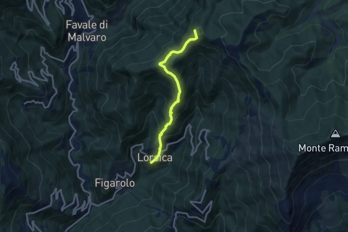
Medium · Summit
Lorsica - Passo Ventarola
6.5 km · ↑ 649 m · 2 h 57 min · 10 km away
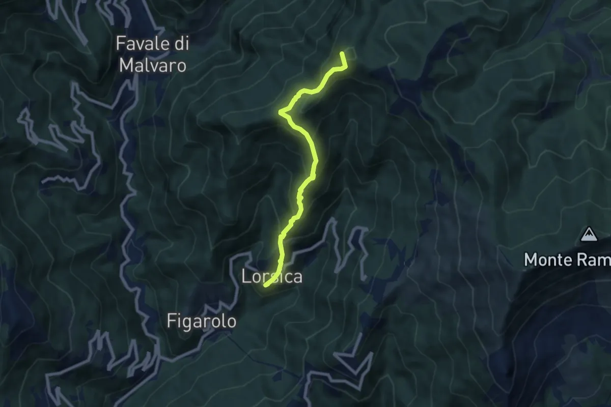
Medium · Summit
Lorsica – Passo Ventarola Nord
6.6 km · ↑ 656 m · 2 h 59 min · 10 km away
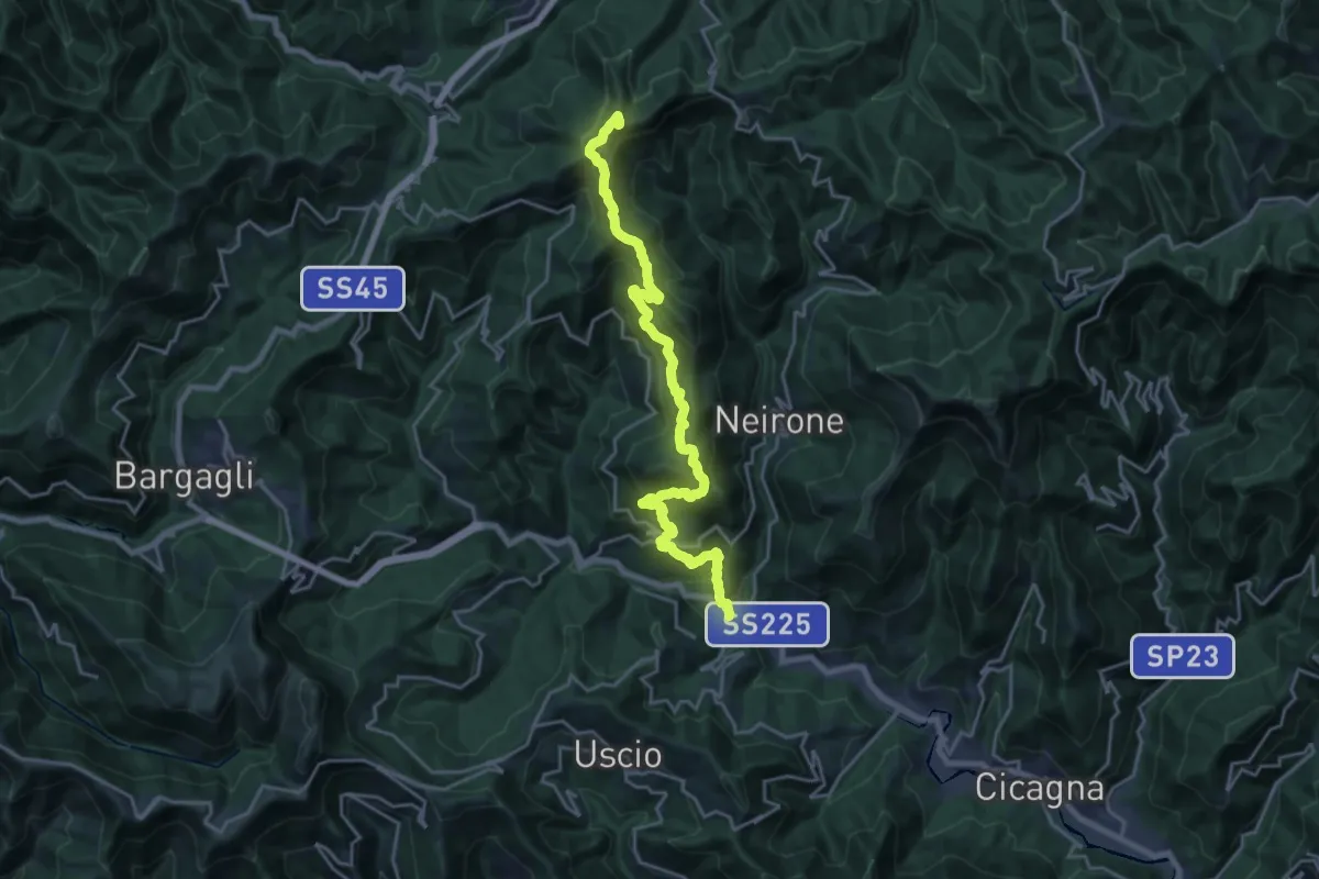
Demanding · Summit
Gattorna - Ogno - Monte Lavagnola
22.3 km · ↑ 1289 m · 8 h 3 min · 10 km away
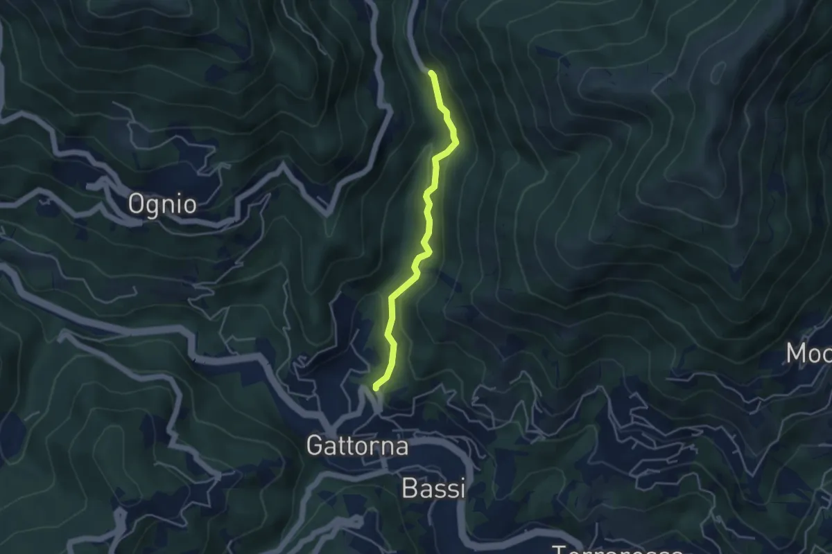
Easy · Trail
Antica Via del Cifalco - variante asfalto Nairone/Gattorna 2
3.6 km · ↑ 191 m · 1 h 16 min · 10 km away
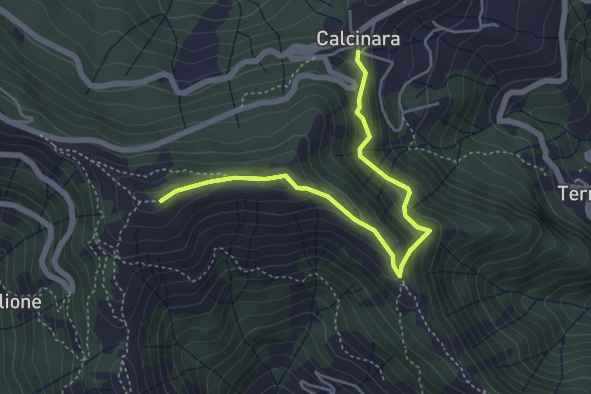
Easy · Summit
Itinerario Storico Colombiano - Variante ISC1
4.3 km · ↑ 304 m · 1 h 40 min · 10 km away
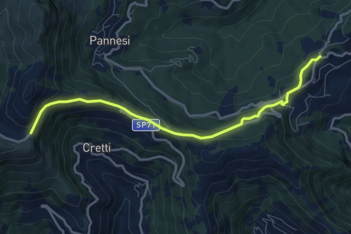
Easy · Trail
Colle Caprile - Case Cornua - Case Becco (tratto VM)
7.8 km · ↑ 316 m · 2 h 31 min · 10 km away
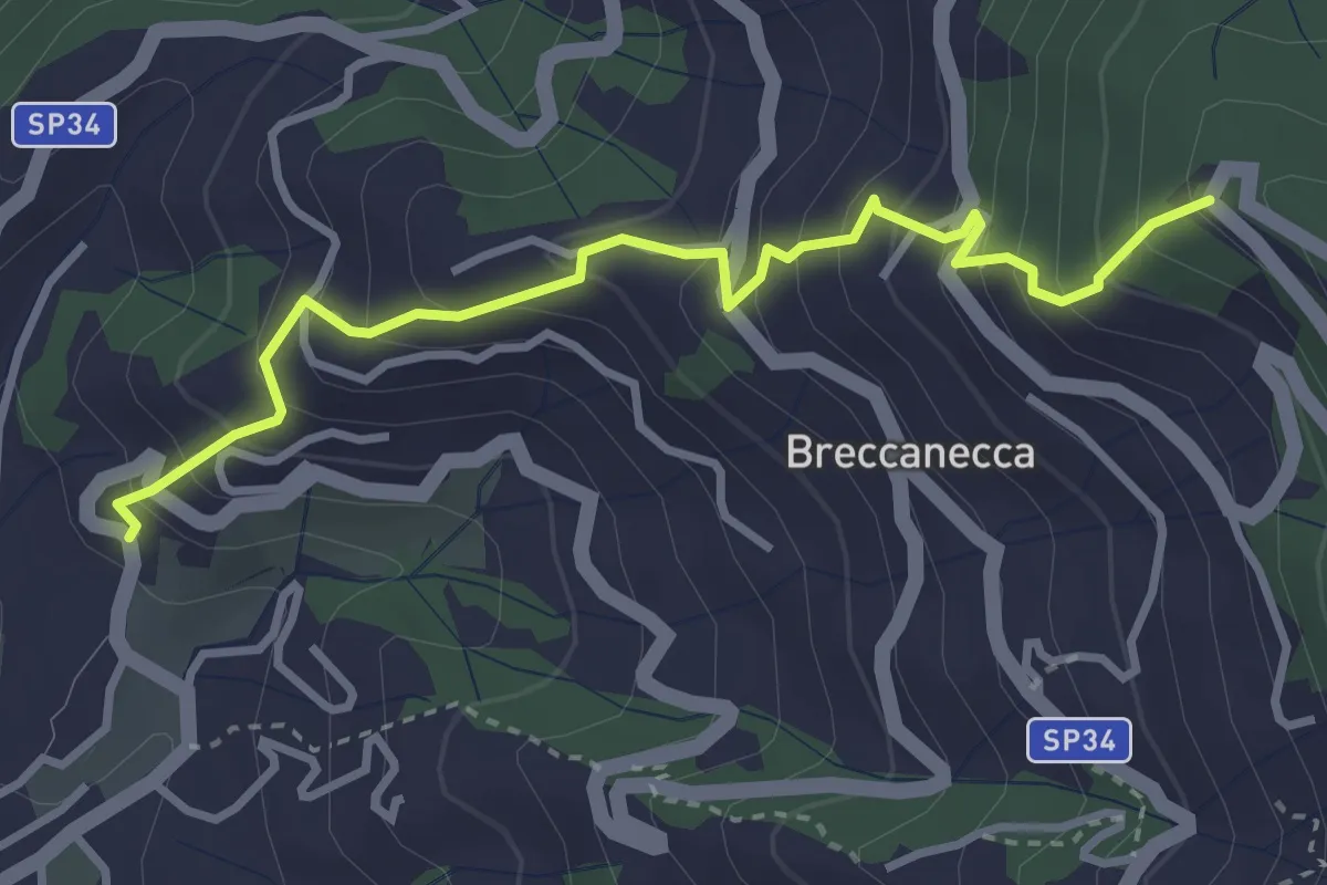
Medium · Trail
San Salvatore - San Giacomo
3.6 km · ↑ 395 m · 1 h 42 min · 10 km away